
We paid a visit to the mythical meadows that never fails to impress first time and repeat hikers alike. Never say never.
Trailhead
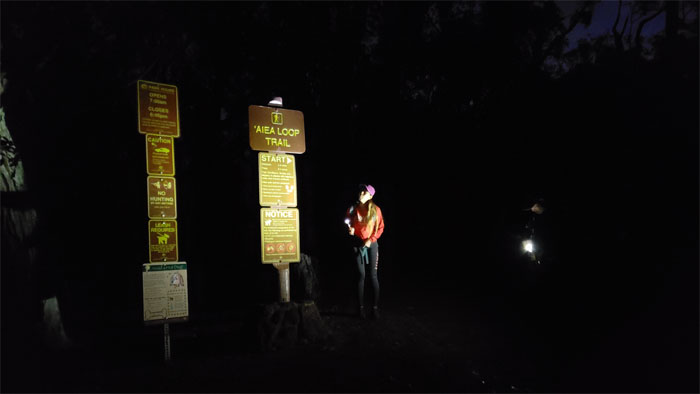
Thanks to Rocky for dropping Analyn, Chris, Cisco and myself off at the top of Aiea Loop Trail, which saved us a bit of walking. It was 0630 and Mother Nature still hadn’t turned on the lights.
Aiea Ridge Trail
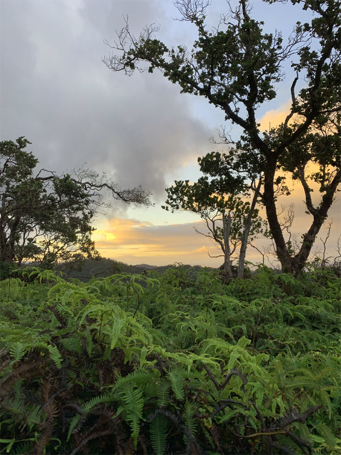
Catching the sunrise on the trail, as it was going to be a beautiful day in the mountains. Famous last words. Photo by Cisco Quintanilla.
Aiea Ridge Trail
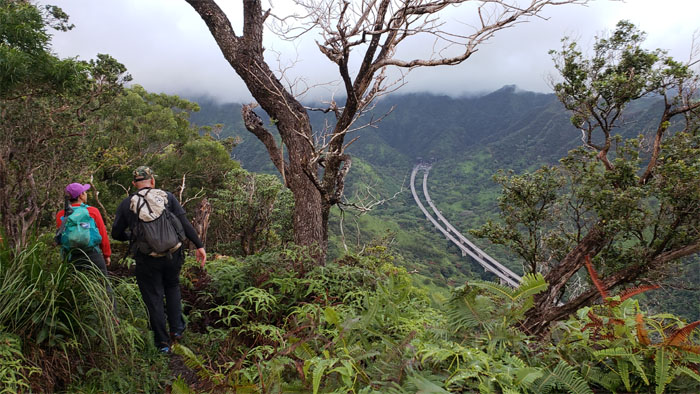
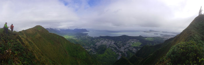
Looking at the H3 snake its way through Halawa Valley and burrow itself into the base of the Ko’olau Mountains.
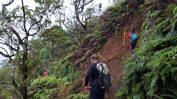
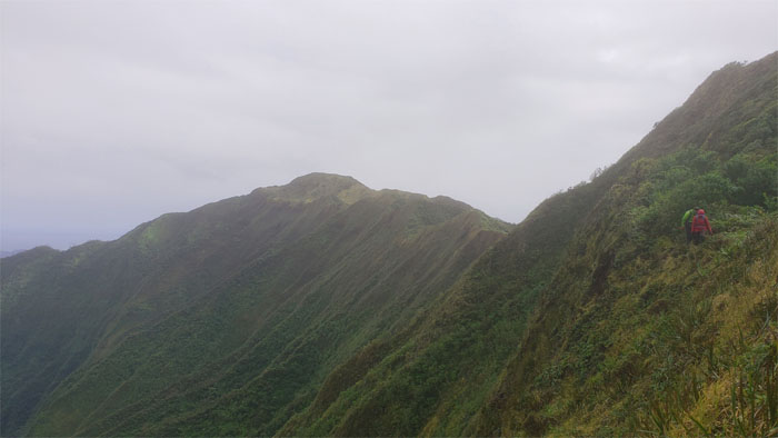
Landslide
Over time, I expect full railing support to be put into place on this particular section. Safety first.
Aiea Ridge Trail
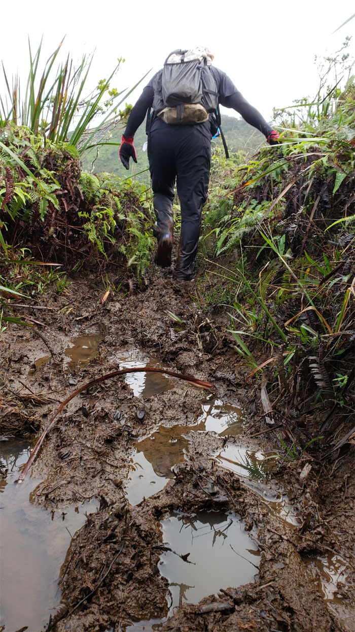
Embrace the mud, as you can’t escape it for long.
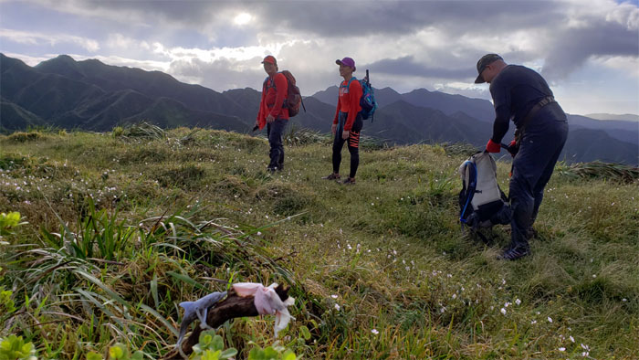
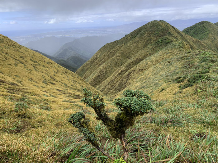
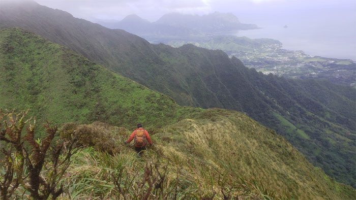
Pu’u Kawipo’o
The summit looked promisingly clear from our flat topped 2,441′ hill. Empty promises. False promises.
Aiea Ridge Trail
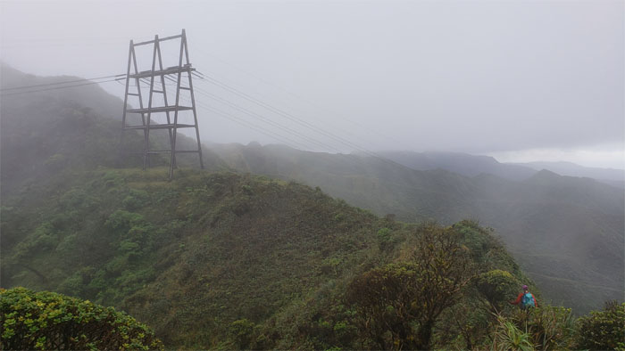
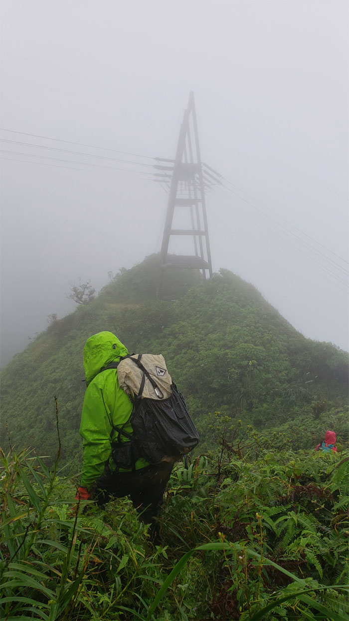
Dropping down to the powerlines as the clouds started rolling in. Never fails. All one can do is laugh. Forced laugh.
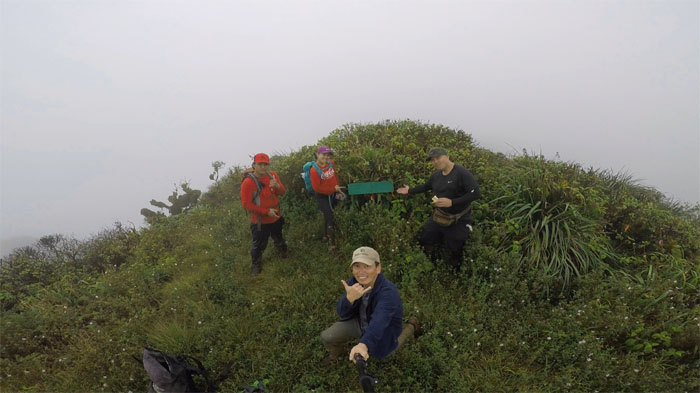
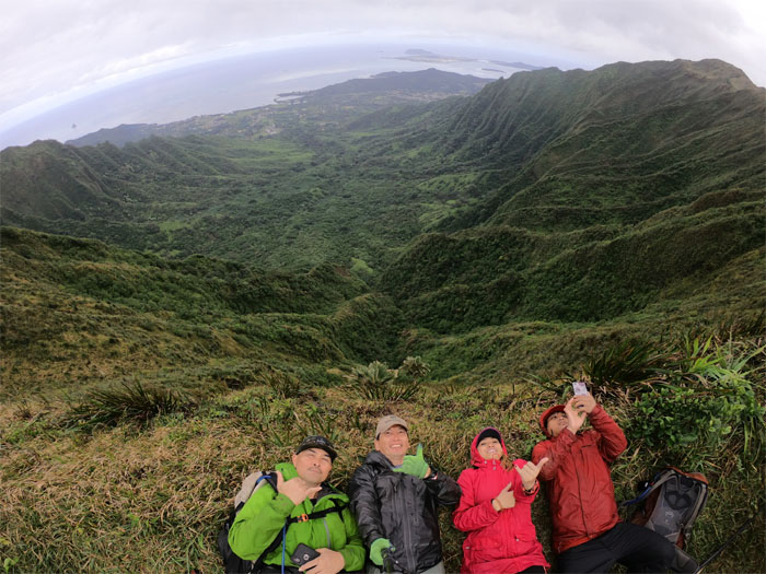
Aiea Summit
Group photo at the now socked in 2,805′ summit, left to right: Chris, Analyn, myself and Cisco. At least the sign is still here.
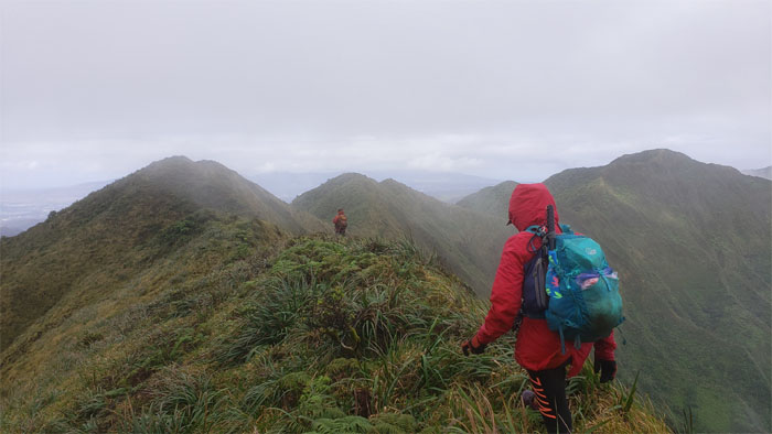
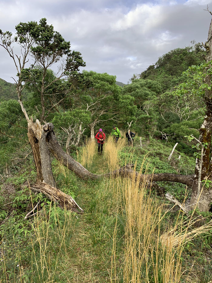
Ko’olau Summit Ridge Trail (KSRT)
Making our way down to the second set of powerlines to discover that the homeless tent has left the mountains.
KSRT
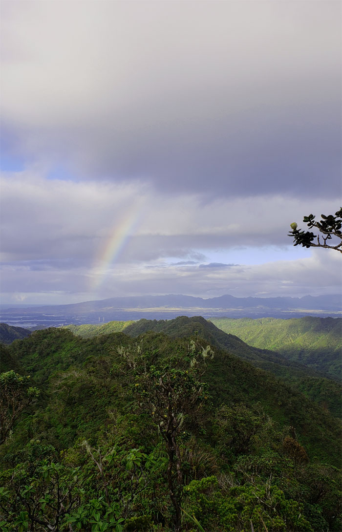
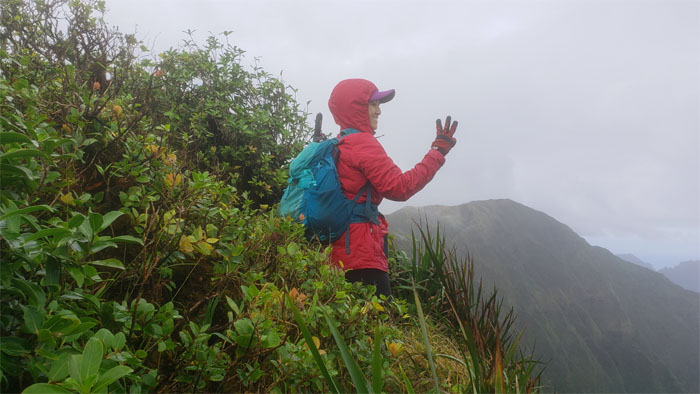
Wrap around Windward views as the winds temporarily pushed the rain clouds away.
KSRT
Looking back at Aiea summit.
KSRT
One can never get tired of these views. Photo by Chris Bautista.
KSRT
Somebody didn’t have their mountain legs today, so slow and steady was the plan of the day.
KSRT
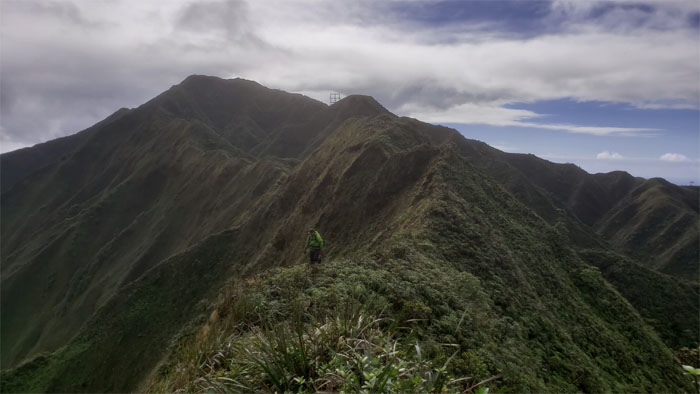
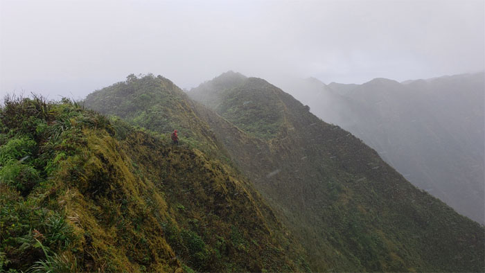
Cisco coming down the cardio inducing ridge line.
KSRT
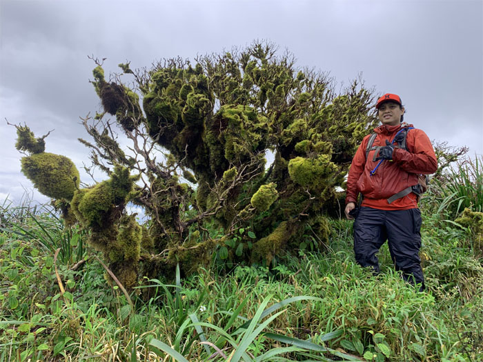
Chris standing next to a tree that was more moss than ohia?
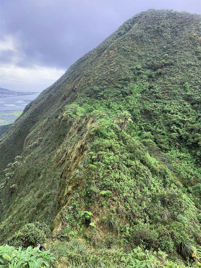
KSRT
Making our way down the ridge in the shadow of Kalahaku Teeth.
KSRT
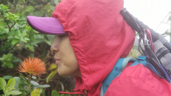
Taking time to stop and smell the salmon lehua flowers. Does it smell fishy?

KSRT
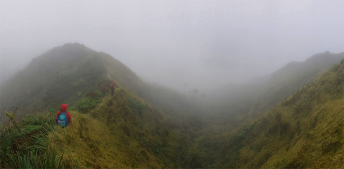
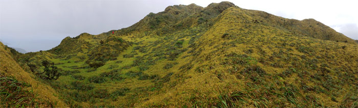
We could see the summit for the meadows.
Waimalu Meadows
Sliding our way down into the cloud soaked meadows.
Waimalu Meadows
Somebody was not particularly impressed with the mythical meadows. Perhaps it had something to do with the passing rain showers.
Waimalu Meadows
One last look at the meadows before our departure. Still not impressed?
KSRT
Raindrops are falling on our heads. And just like the hikers whose feets are too big for the trail. Nothing seems to fit. Those raindrops are falling on our heads, they keep falling.
Waiau Summit
Passing the summit with the tortured trail that leads one down to the gated community of Wailuna.
KSRT
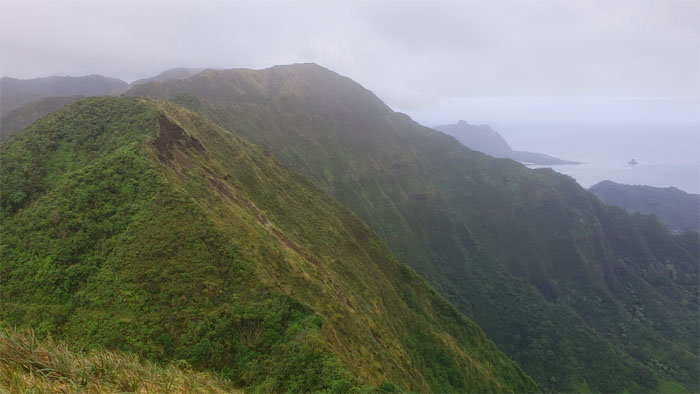
Spotting the scarred mountainside that marked the end of our hike.
KSRT
Analyn and Cisco making their way to the summit to join us.
Waimano Summit
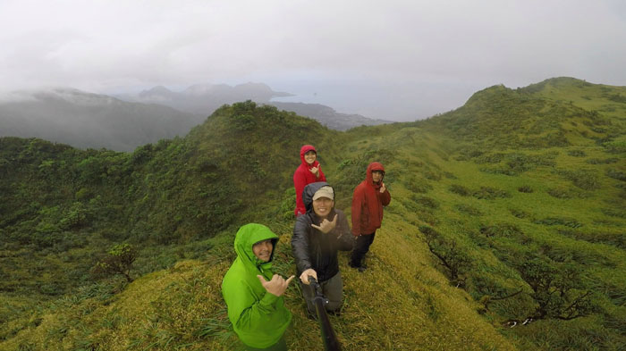
Leaning over the edge to get our group photo at the 2,160′ summit.
Waimano Trail
Heading down the seven mile graded trail. Photo by Chris Bautista.
Waimano Trail
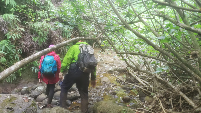
The rain that had teased us in the mountains had not trickled down enough to engorge our stream crossing. No complaints here.
Waimano Trail
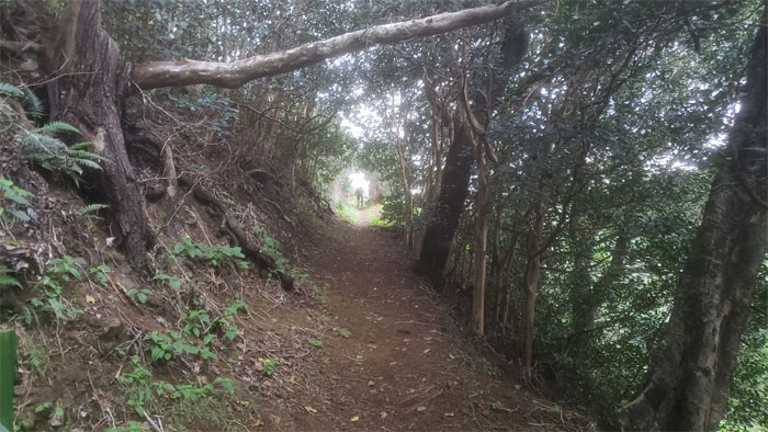
Cisco making his way up the trail to the light at the end of the tunnel.
All pau
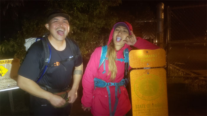
Black tongues marked the end of our KST grinder hike that covered 14.5 miles through rolling hills and passing rain cloud showers. Mahalo to Lopaka for picking us up and graciously allowing us to ride in the bed of his truck so as not to pollute his cab. Post hike meal at Alley Restaurant where inspirational stories were passed around over steaming bowls of oxtail soup.
Note: I have been made aware that some hikers have been using my blog as a hiking guide and getting lost on the trails. Please note that this blog was made to document the hike for the crew(s) that did it. That is why some of my comments will seem to have no relevance or meaning to anybody outside of the crew(s) that hiked that trail. My blog was never meant as a hiking guide, so please do not treat it as such. If you find inspiration and entertainment from these hikes, that is more than enough. If you plan on replicating these hikes, do so in the knowledge that you should do your own research accordingly as trail conditions, access, legalities and so forth are constantly in flux. What was current today is most likely yesterdays news. Please be prepared to accept any risks and responsibilities on your own as you should know your own limitations, experience and abilities before you even set foot on a trail, as even the “simplest” or “easiest” of trails can present potential pitfalls for even the most “experienced” hikers.
{ 2 comments… read them below or add one }
That “tortured trail that leads one down to the gated community of Wailuna” – have you done it?
B
Aloha Ben,
Yup, we went up it and crossed over to Waimalu Meadows. That is the trail where I first met Cisco and the top half was not fun. Lot of overgrowth, but I heard it gets a lot more traffic now, so it may be more bearable.
Mahalo