Thanks to Art for dropping Katie, Tessa and myself off at the Keaiwa Heiau State Recreation Area. Quite a mouthful to say so early in the morning.
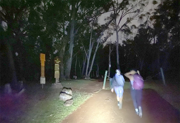
Early hikers get the trail all to themselves.
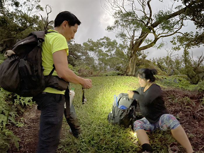
Passing out assorted tapes to alleviate somebody’s blistering feet. Unfortunately, the blisters won out and Tessa had to turn around. Photo by Katie Bingham.
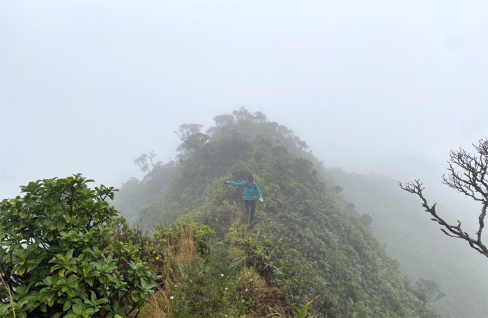
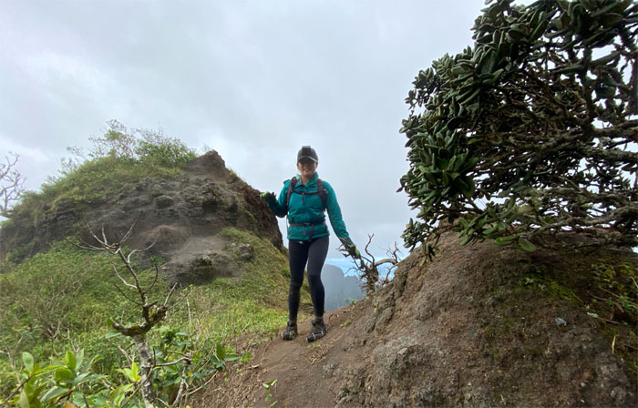
Crossing over a relatively level section of the trail, that Stuart Ball calls a gem of a ridge hike. Today it was a muddy ridge hike.
We finally saw a landmark through the dense clouds that had completely soaked the mountains. Photo by Katie Bingham.
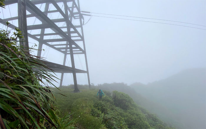
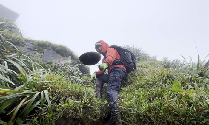
Katie contouring the base of the powerlines to ascend to the summit.
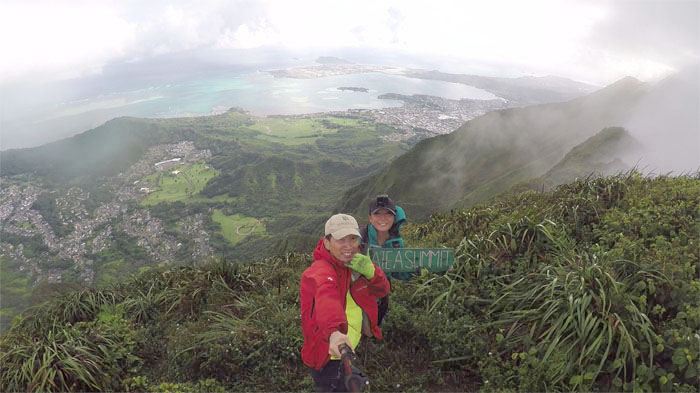
We actually had panoramic views at the 2,805′ top. It was uncommonly clear.
Leaving the summit to continue our muddy trek on the trail. Photo by Katie Bingham.
Appreciating the Windward views as the drifting clouds slowly erased them.
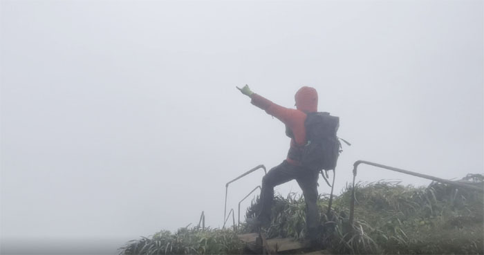
Windy. Slight exaggeration. But not by much.
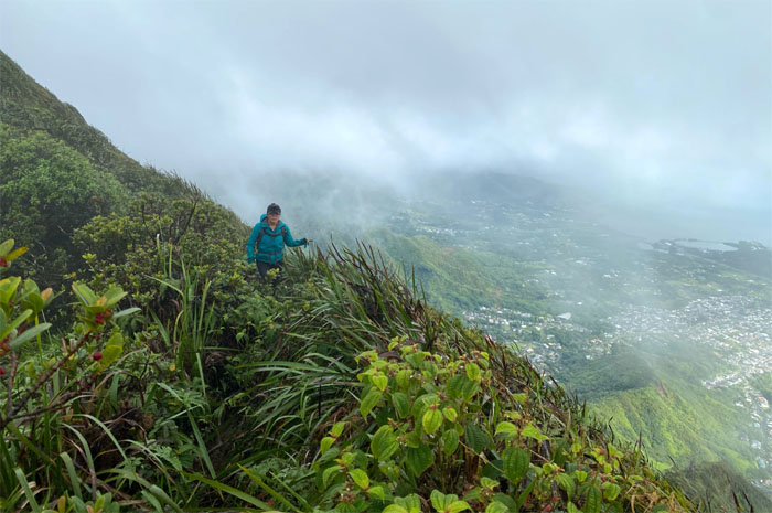
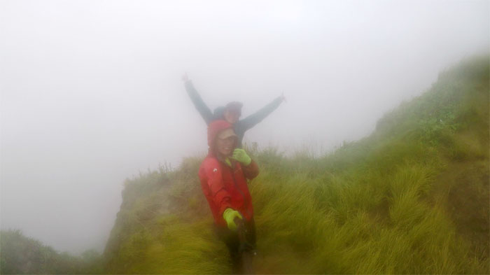
Katie coming down the gusty ridge to the wind blasted spot in the mountains reserved for bad hikers. We are home.
Nothing to see here. Move along. Photo by Katie Bingham.
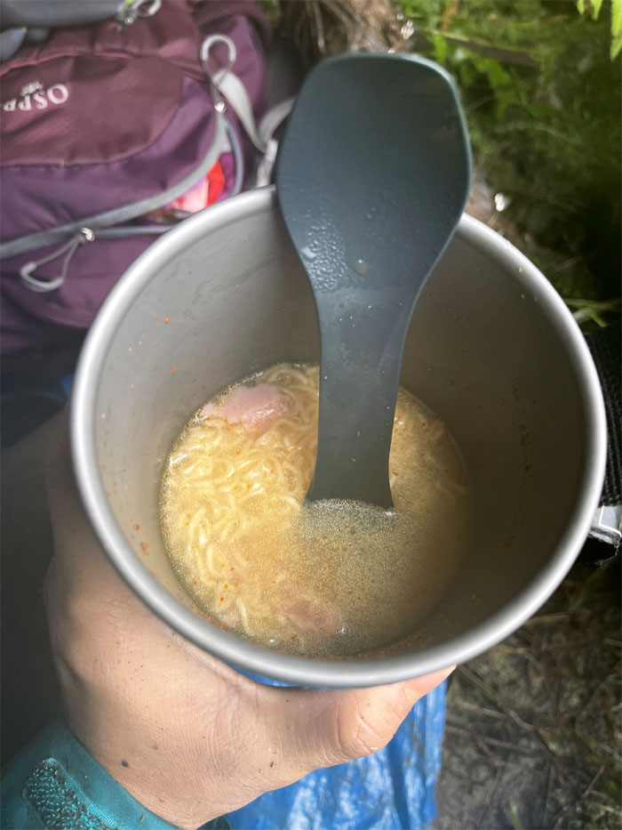
We retreated to the bunker to have our lunch of hot noodles. Does a body good. Photo by Katie Bingham.
Climbing out of the freezing environ of Hell.
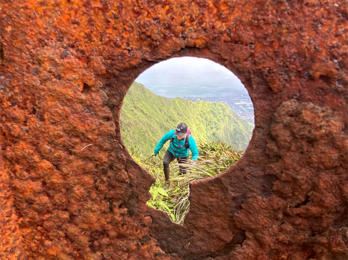
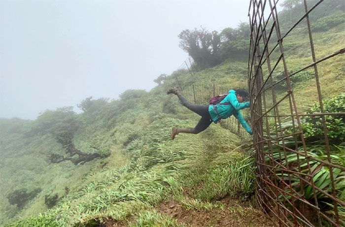
Crossing over. I read that a 1993 Nissan Sentra once sat on a hill in this area. I find that urban legend hard to believe. But if true, what a sight that must have been. Photo by Katie Bingham.
Looking for bees on our way to Red Hill, we must’ve blinked.
Making our way down the eroded saddle as clouds, rain and wind kept us company. Photo by Katie Bingham.
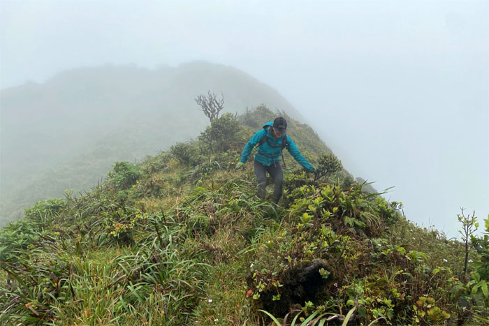
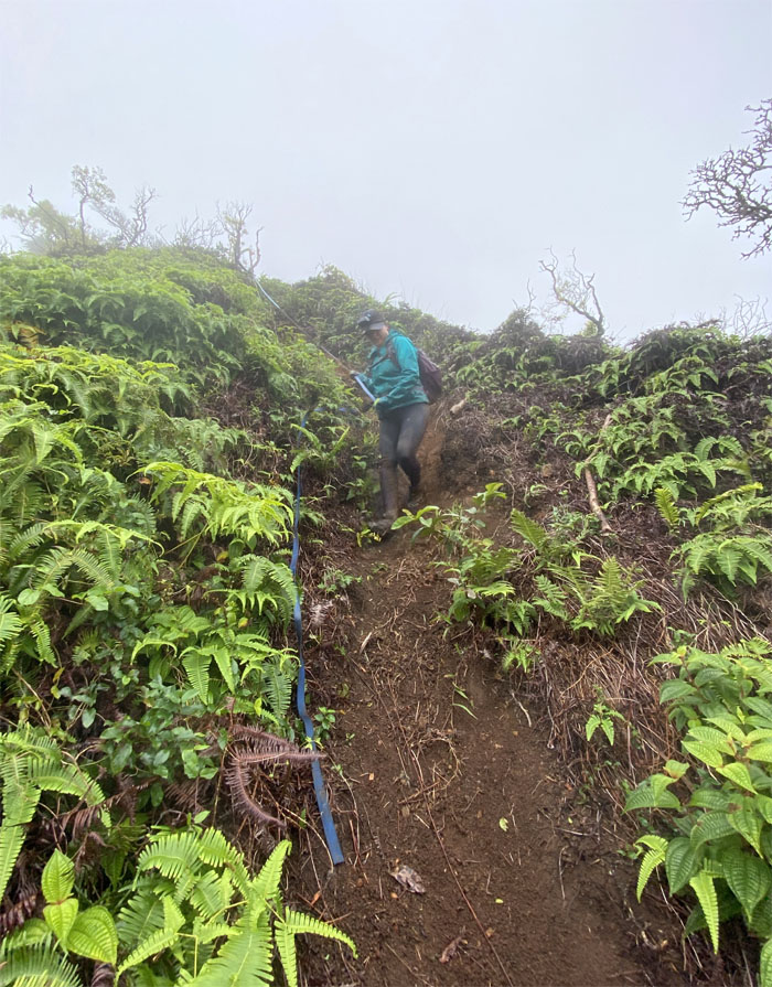
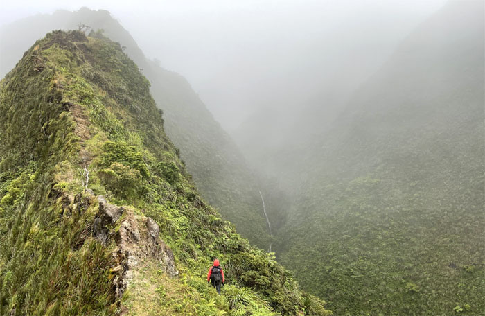
Katie coming down the thin river of dirt that ran through the uluhe overgrowth.
Keeping our center of gravity low as the brisk winds buffeted us on the saddle descent. Photo by Katie Bingham.
Finding temporary relief from the winds on the Leeward contour.
Decisions. Decisions. Decisions. Press on in gale like conditions or walk out that long a** Moanalua Valley Road. It was a no brainer. I guess we are not left-brained hikers.
Going up the saddle as we saw a sliver of a waterfall trickling down the chute. At least the rain parted company with us. Photo by Katie Bingham.
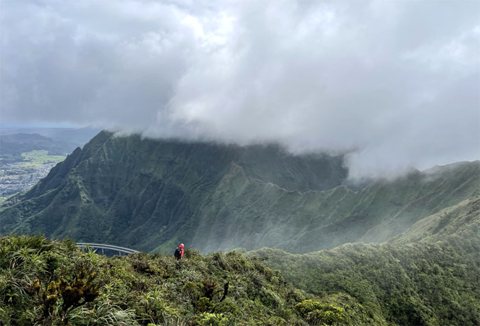
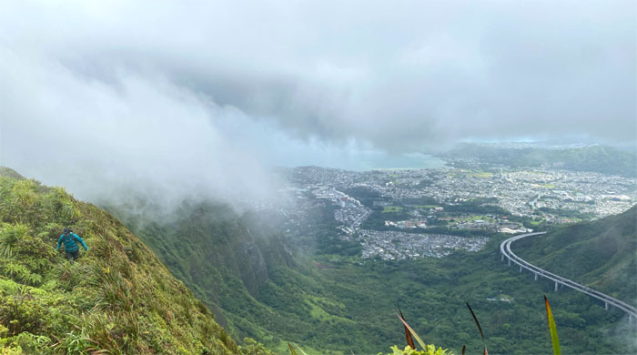
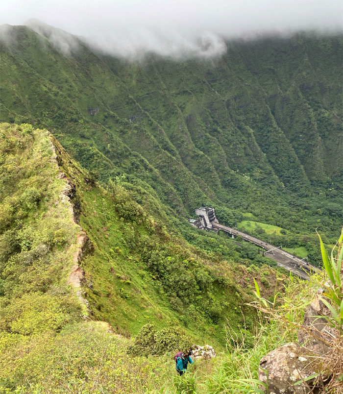
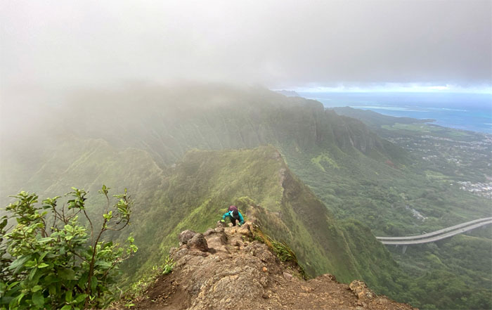
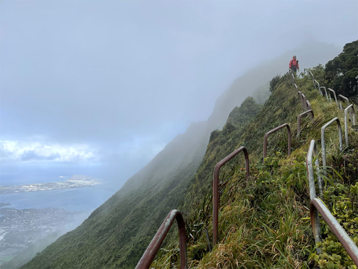
Climbing up the saddle with the Interstate H-3 in the background, the rail of its day back in the 1980s.
Is the elevator working today? Photo by Katie Bingham.
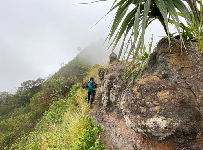
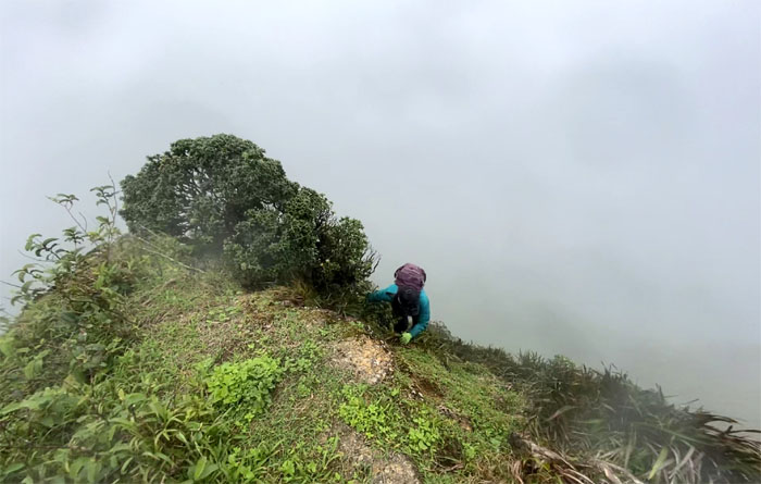
Katie contouring up the Windward flank to regain the ridge line.
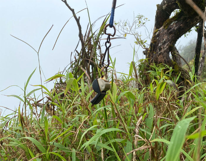
If you want HFD, just whistle. Just have to whistle louder than the wind.
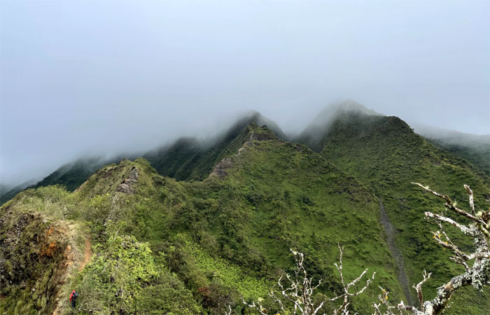
Looking ahead to the main obstacle on the saddle. Photo by Katie Bingham.
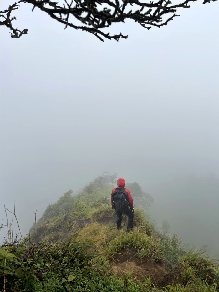
Preparing to contour around the ridge line to climb up the main obstacle.
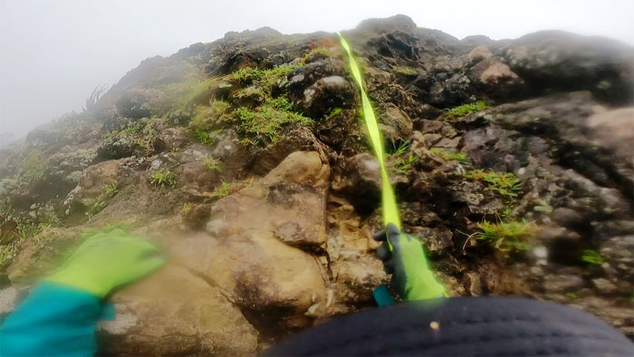
Stuck between slippery rocks and loose dirt. Photo by Katie Bingham.
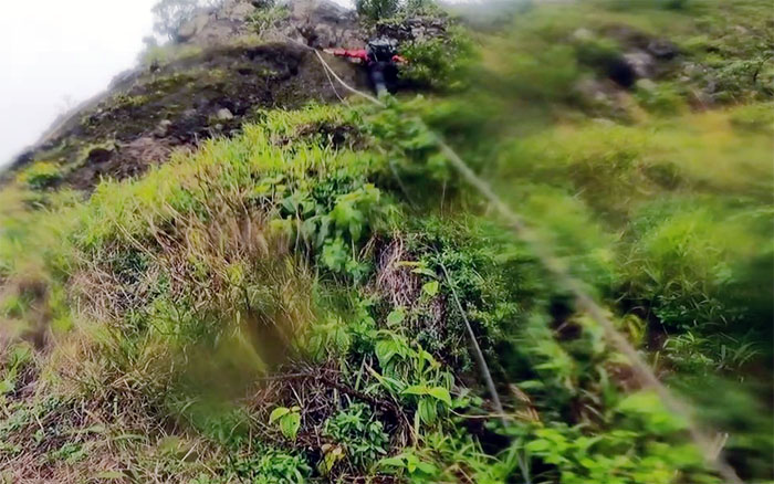
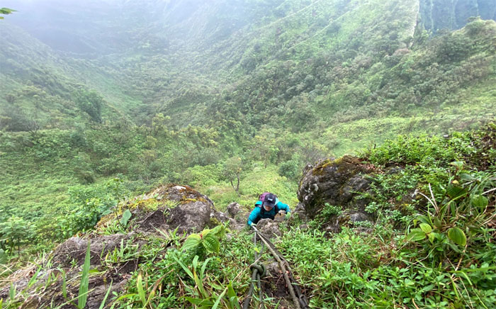
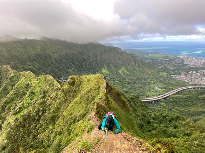
Katie pulling herself up the Dirt Triangle.
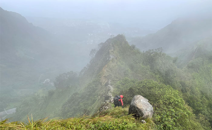
The climbing continued over boulders of assorted sizes and placement.
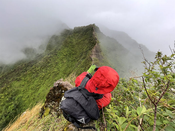
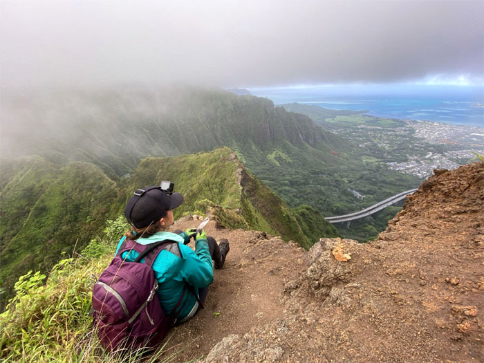
Working out the cramps while enjoying the saddle views.
Climbing up the last eroded and vertical section. The winds continued unabated on our climb up the saddle. Made for an interesting hike to say the least.
Approaching double tiered waterfalls on our ascent. Photo by Katie Bingham.
Looking back at Moanalua Saddle in her entirety. Photo by Katie Bingham.
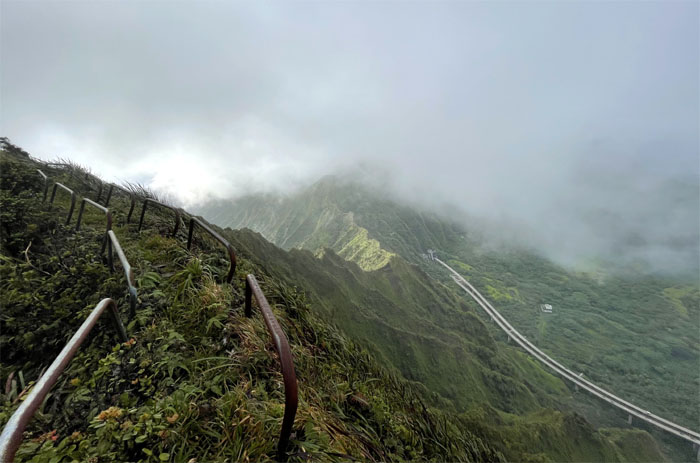
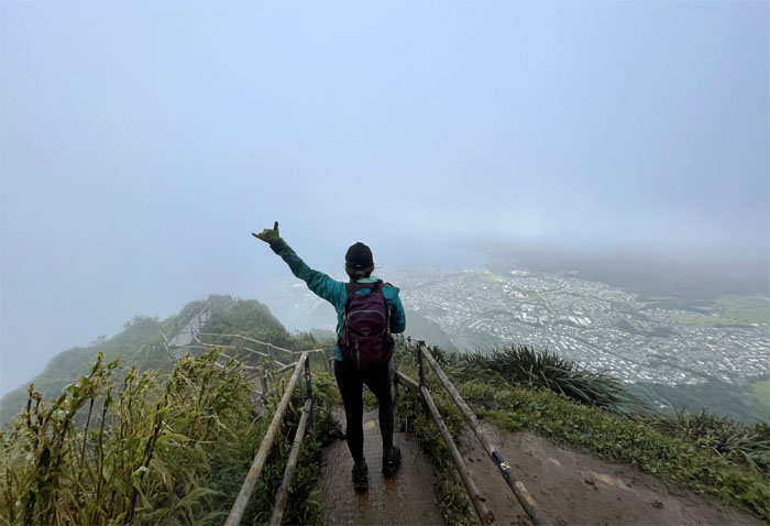
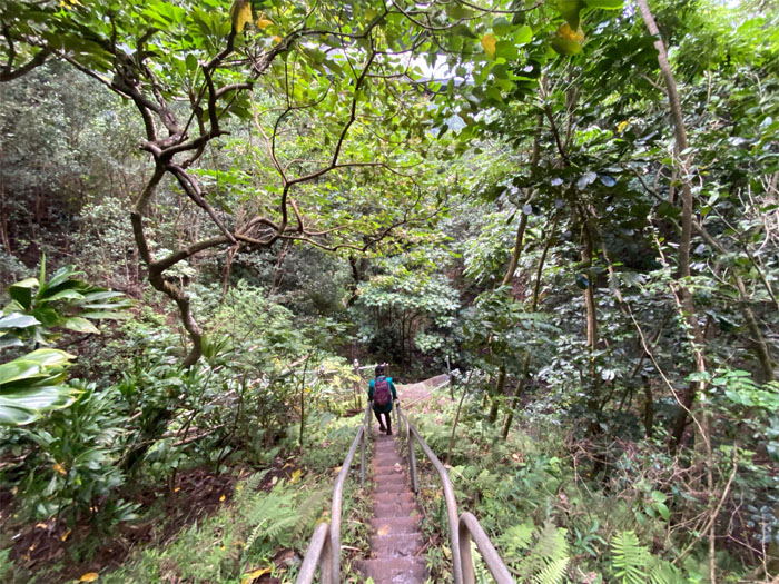
Going up the stairs that time forgot. Photo by Katie Bingham.
Sloppy side up. Photo by Katie Bingham.
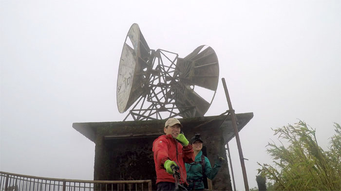
Group photo at the deserted CCL building. Who would be crazy enough to hike in these conditions?
A medical emergency forced us to take the most direct route down without inconveniencing the hard working taxpayers of this fine city.
Mahalo to Quan for picking us up after coming down all 3,922 steps, give or take. Post hike meal at Easy ‘Que where Aida and Lilyn also joined us. Recommended off the menu was the mac’n’cheese that was supposedly the best thing since burnt ends, well not according to the Southerner.
Our bookended stairway hike covered over 10.3 miles through some of the windiest conditions I have encountered on these trails to date. Props to the moonshiner for her perseverance on todays hike. What better way to usher in the first hike of the year?
Note: I have been made aware that some hikers have been using my blog as a hiking guide and getting lost on the trails. Please note that this blog was made to document the hike for the crew(s) that did it. That is why some of my comments will seem to have no relevance or meaning to anybody outside of the crew(s) that hiked that trail. My blog was never meant as a hiking guide, so please do not treat it as such. If you find inspiration and entertainment from these hikes, that is more than enough. If you plan on replicating these hikes, do so in the knowledge that you should do your own research accordingly as trail conditions, access, legalities and so forth are constantly in flux. What was current today is most likely yesterdays news. Please be prepared to accept any risks and responsibilities on your own as you should know your own limitations, experience and abilities before you even set foot on a trail, as even the “simplest” or “easiest” of trails can present potential pitfalls for even the most “experienced” hikers.





{ 0 comments… add one now }