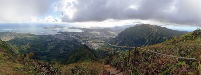
We decided to visit Hell and Heaven today; I met up with Alexis, Analyn, Chris and Ferlino at Moanalua Valley.
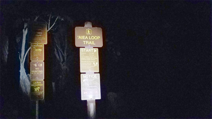
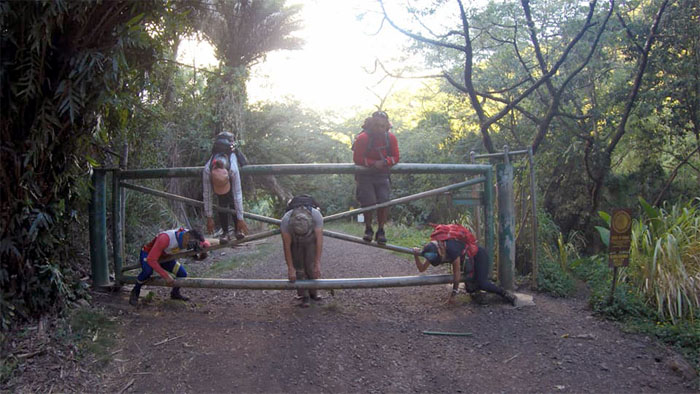
Too early for the chickens. Only the dogs were barking as we started our early morning hike. Thanks to Jasmin for dropping us off.
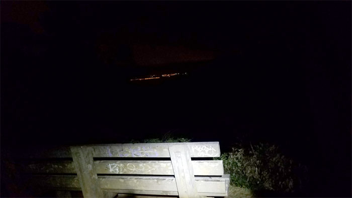
Bench with city light views.
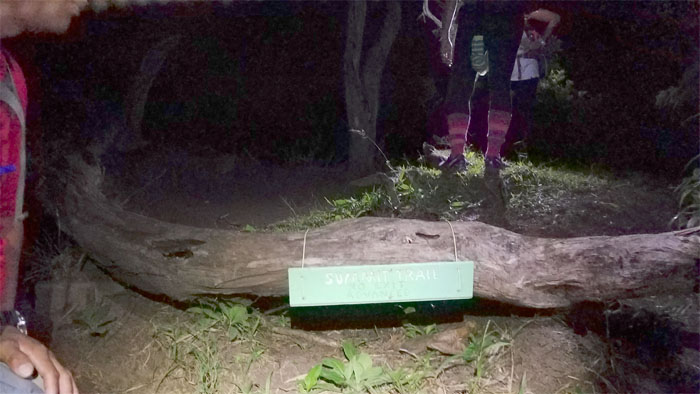
New sign. Summit Trail. No Exit. Advanced. All good to know.
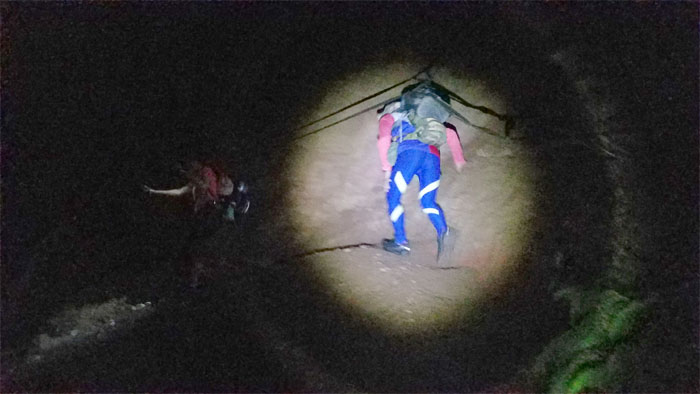
Ferlino crossing the landslide area under spotlight.
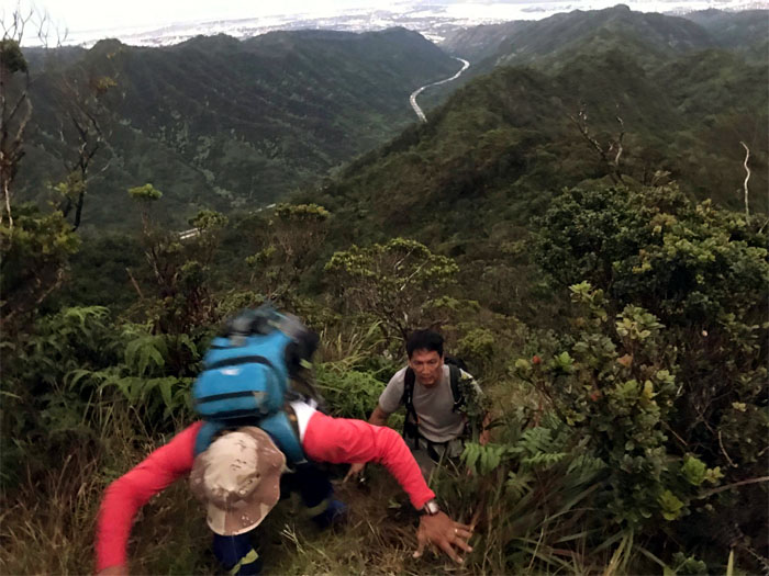
Climbing up the steady and steep ridge. Photo by Analyn Baliscao.
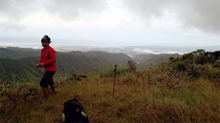
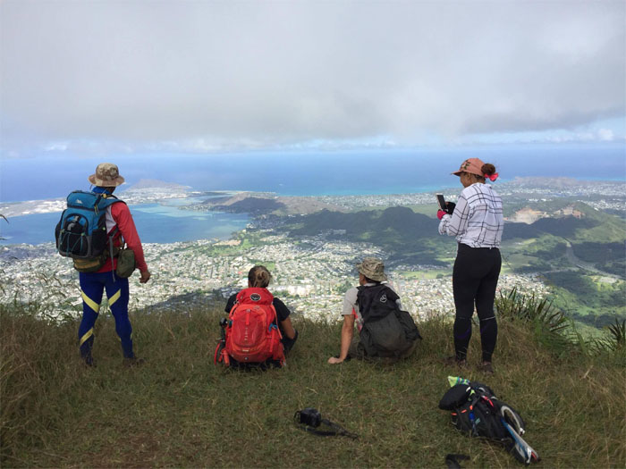
Taking a break at the large, grassy hill top. The dolphin had “swum” over to another branch.
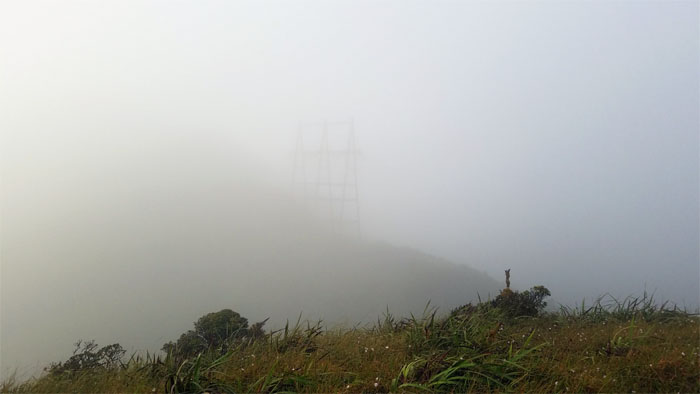
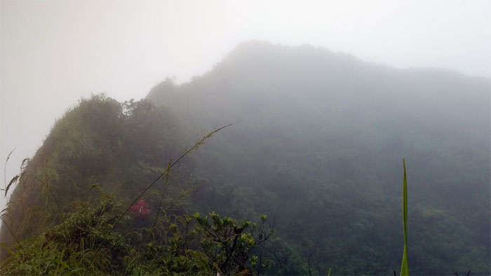
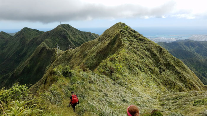
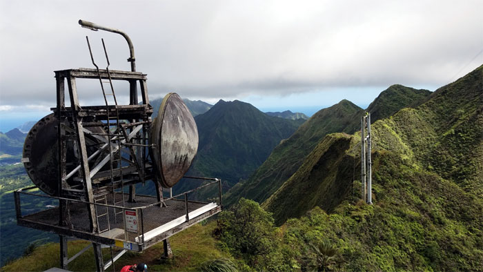
Approaching the power lines which sits at the base of the summit, where the clouds blocked the views but not the cacophony of civilization that floated to the mountains.
Making our way along the muddy ridge, Chris slipped and a branch poked him below his eye. Mountain first aid rendered – Bactine sprayed on and medical tape slapped on. Good to go.
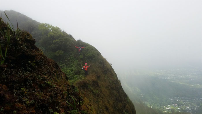
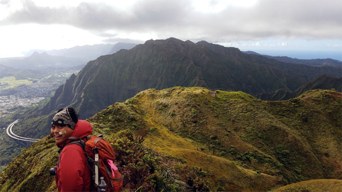
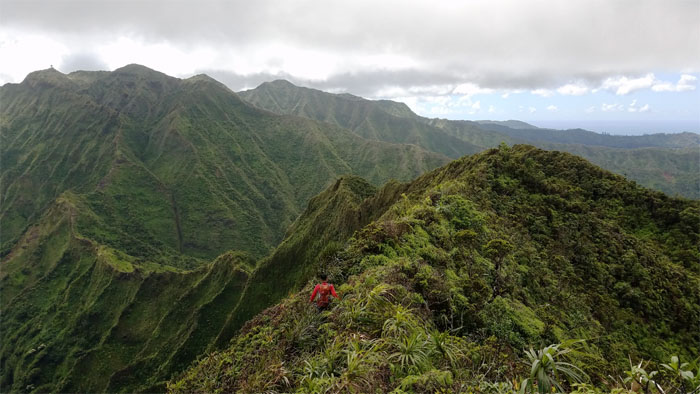
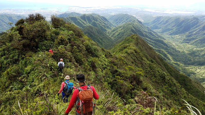
Looking back at the rest of the group making their way on the cloud shrouded ridge.
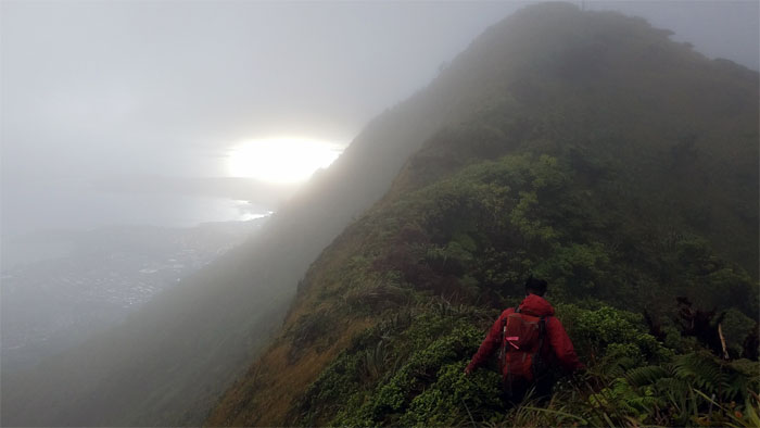
The sun was fighting through the clouds.
The rest of the group getting off the ridge and contouring around the protected plant enclosure.
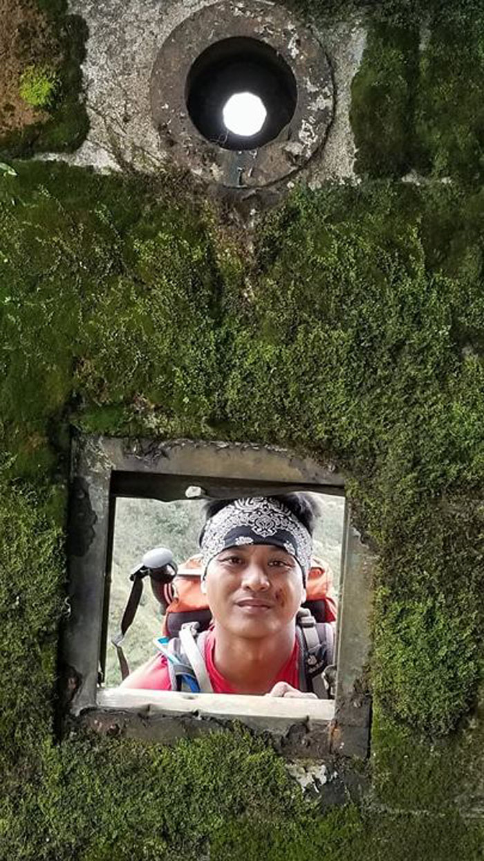
Peeking around the corner.
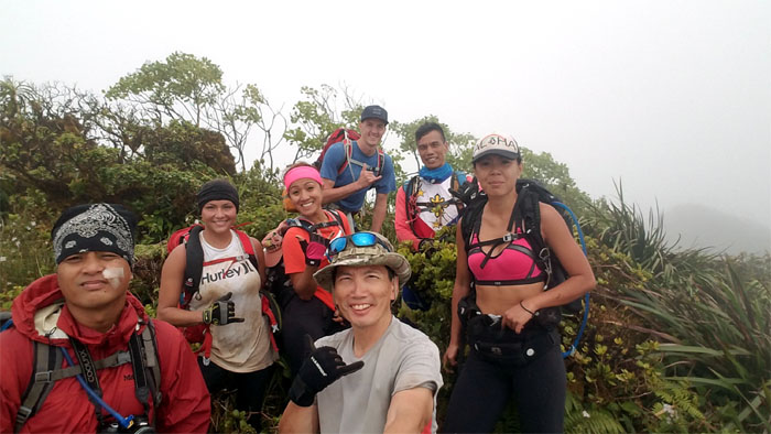
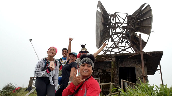
Group photo on our descent down to Hell where we ran into a friend who was ascending, left to right: Chris, Alexis, Analyn, Noah, myself, Ferlino and Shirley. Can I shake your hand?
Chris’s face says it all. We got a view!
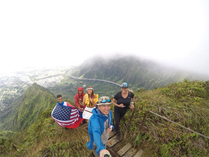
The dress was on. The flag was out. Time to take our group photo.
Chris checking to see if the tent collection had grown since our last visit. Photo by Ferlino Carinio.
Leaving the chilly haunt of Hell. Which begs the question. Why is Hell not so hot?
Making our way to the summit of Red Hill, where we soon …
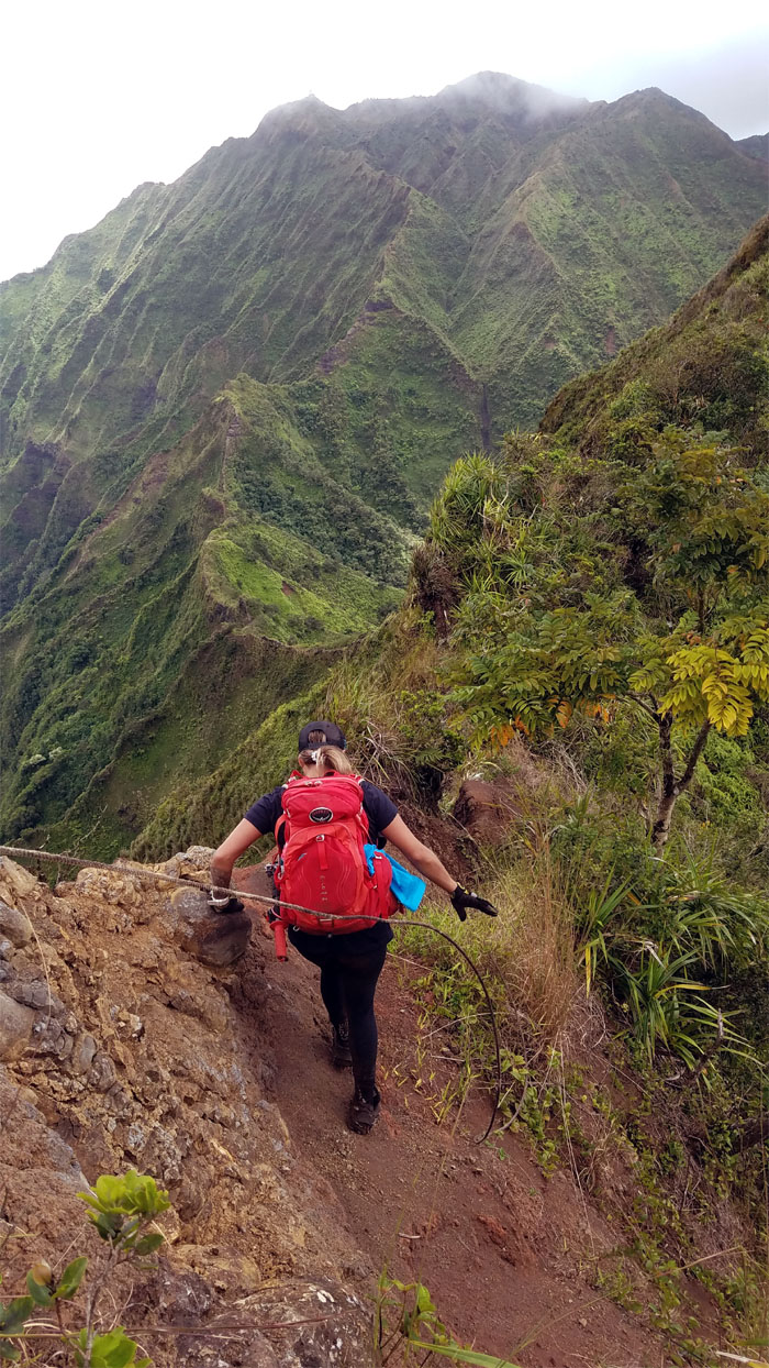
… dropped into the crumbly saddle. Rope? I don’t need no stinking rope.
Comin’ down the mountain. But first take my picture.
Humping over the saddle.
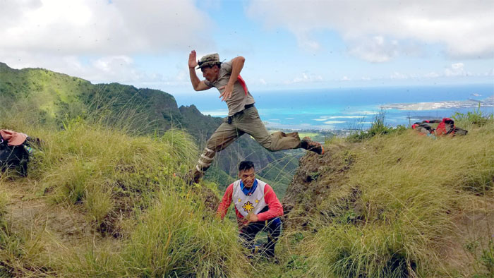
The running man. Going the wrong way. Medical tape is not only good for facial cuts but torn pants as well. Photo by Analyn Baliscao.
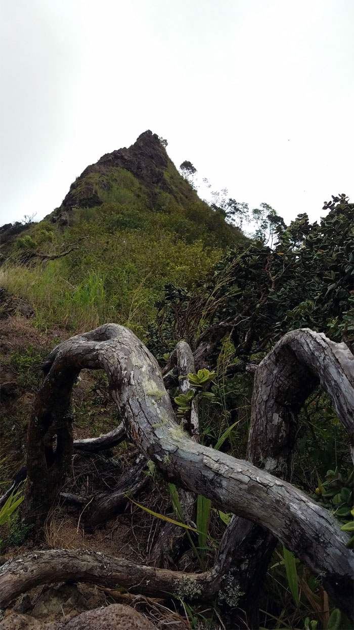
Going up through the tangled and twisted roots that carpeted the ridge.
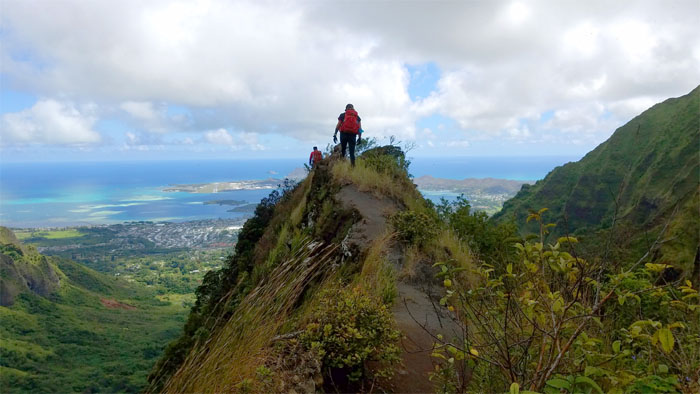
The group contouring their way up the Windward side of the ridge.
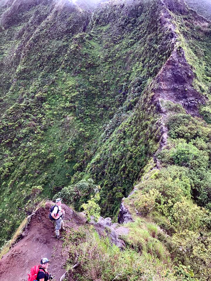
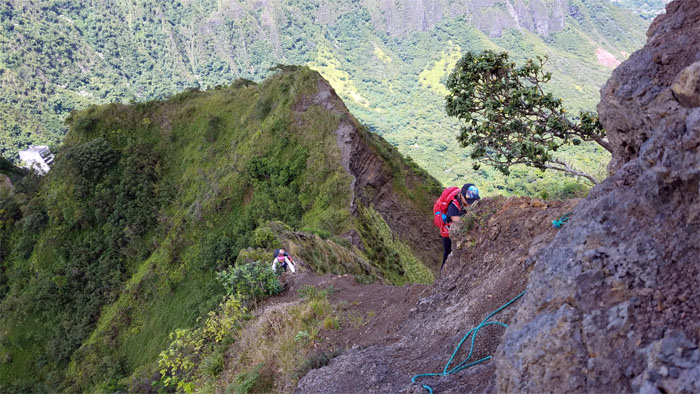
Making our way to the main obstacle on the ridge. Photo by Analyn Baliscao.
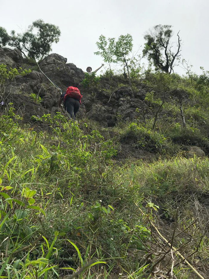
Alexis climbing up from the Leeward side. Photo by Analyn Baliscao.
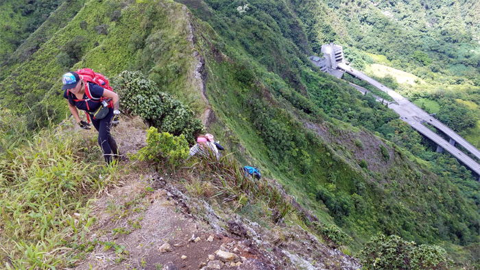
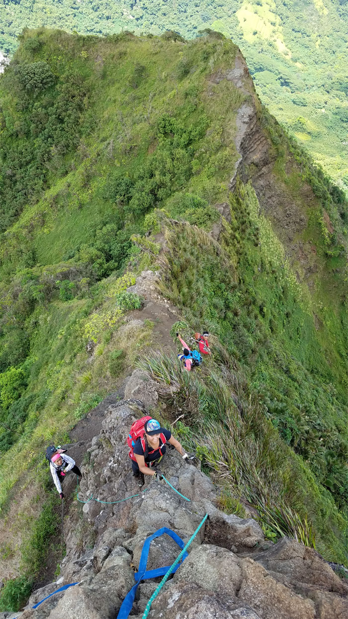
Crawling our way up the eroded ridge.
Don’t touch that crumbly rock?
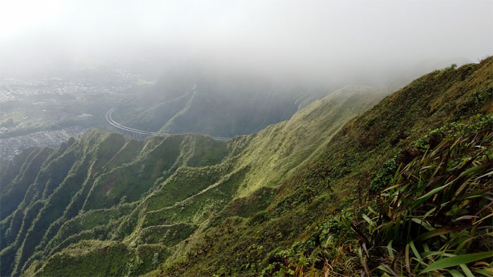
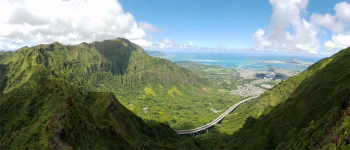
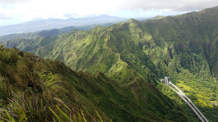
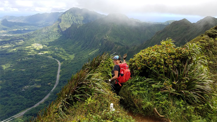
Looking back at the H-3 Highway snaking its way through Halawa Valley.
The group climbing out of the saddle.
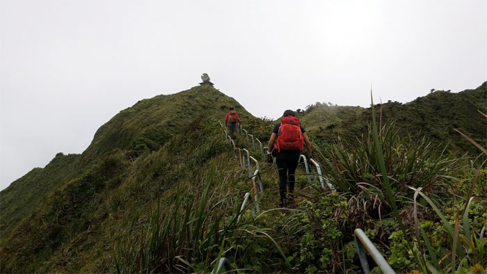
Going up the back stairs.
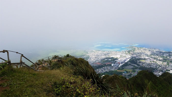
Not going down the front stairs.
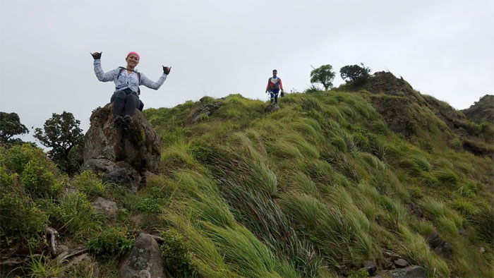
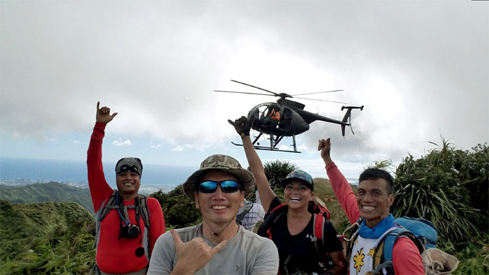
Throwing shakas out at the 2,720′ summit. Somebody needs to get with the program.
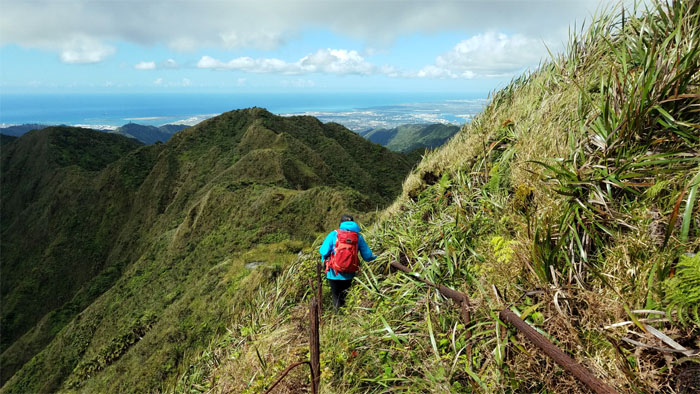
Leaving Heaven behind us with views of Kalihi and Nu’uanu Saddles to our front.
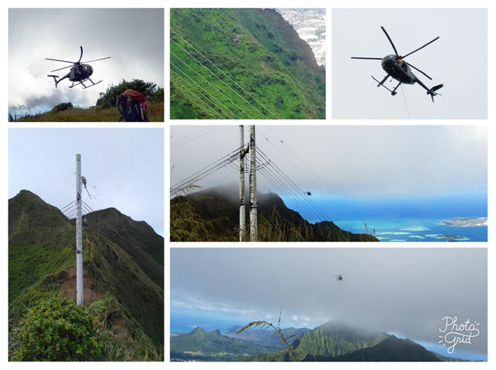
Dropping down from the MMR junction, we saw a helicopter perched on Tripler Summit ahead of us and decided to see if we could reach it before it took off.
No climbing today. Read the sign.
We briefly interrupted the workers on the power lines as we quickly passed underneath them. Safety first. Mahalo.
A minute late and a helicopter short. Photo by Chris Bautista.
The helicopter pilot skillfully flew the workers up and down the spur ridges, dropping and picking them up.
No, we are not being rescued.
Leaving the summit and the helicopter ride (wishful thinking) behind us.
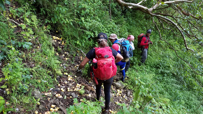
We abbreviated the long Tripler ridge by taking the spur ridge down to the power lines, passing an abundance of smashed guavas on our way down.
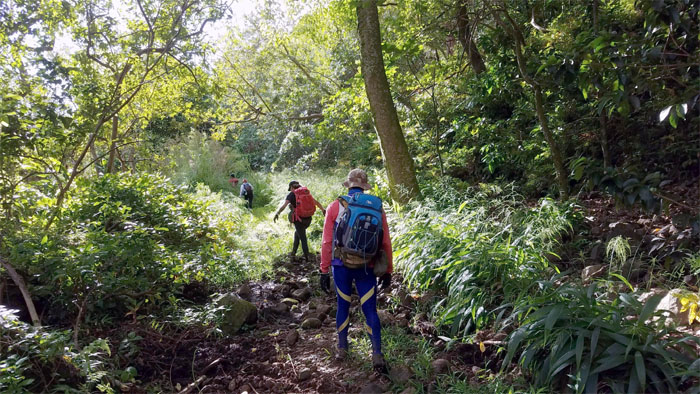
Making our way out from the back of the valley.
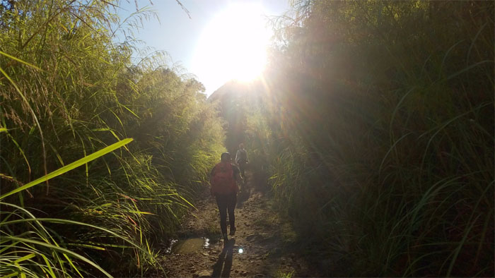
I think we had our fill of California grass on this hike and then some.
Does somebody need medical tape on their butt again? Photo by Ferlino Carinio.
End of the long road. End of a long day. Somebody needs to get with the program. Photo by Ferlino Carinio.
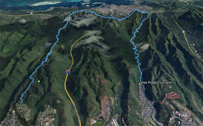
Our two for the price of one hike covered a little over 13 miles. Fun day with a great group. Post hike meal at Lilihia Bakery. Oxtail soup tastes better when a dead fly falls out of your eye.
Note: I have been made aware the some hikers have been using my blog as a hiking guide and getting lost on the trails. Please note that this blog was made to document the hike for the crew(s) that did it. That is why some of my comments will seem to have no relevance or meaning to anybody outside of the crew(s) that hiked that trail. My blog was never meant as a hiking guide, so please do not treat it as such. If you find inspiration and entertainment from these hikes, that is more than enough. If you plan on replicating these hikes, do so in the knowledge that you should do your own research accordingly as trail conditions, access, legalities and so forth are constantly in flux. What was current today is most likely yesterdays news. Please be prepared to accept any risks and responsibilities on your own as you should know your own limitations, experience and abilities before you even set foot on a trail, as even the “simplest” or “easiest” of trails can present potential pitfalls for even the most “experienced” hikers.



{ 0 comments… add one now }