Having done Koko Crater to death, it was time to mix it up a bit today. I picked up Glenn from Koko Crater Botanical Gardens and drove around East Oahu to find a suitable place to ascend up the tuff cone from a different approach.
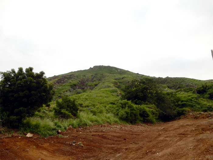
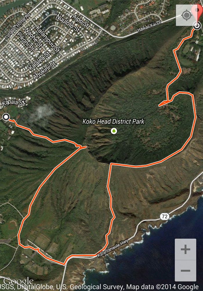
We parked behind Kaiser High School and found a construction road to gain access to the base of Koko Crater.
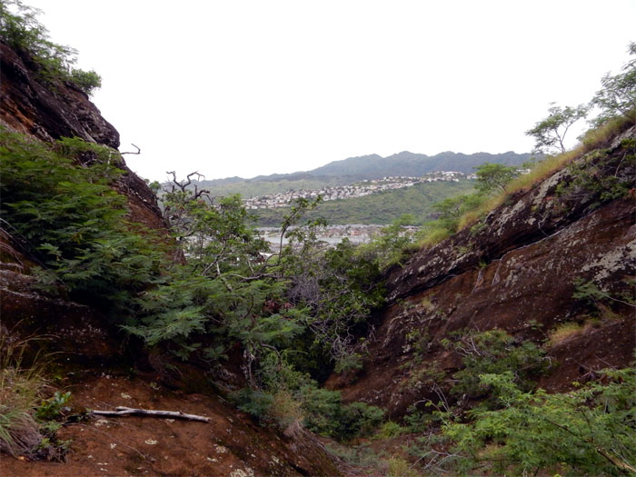
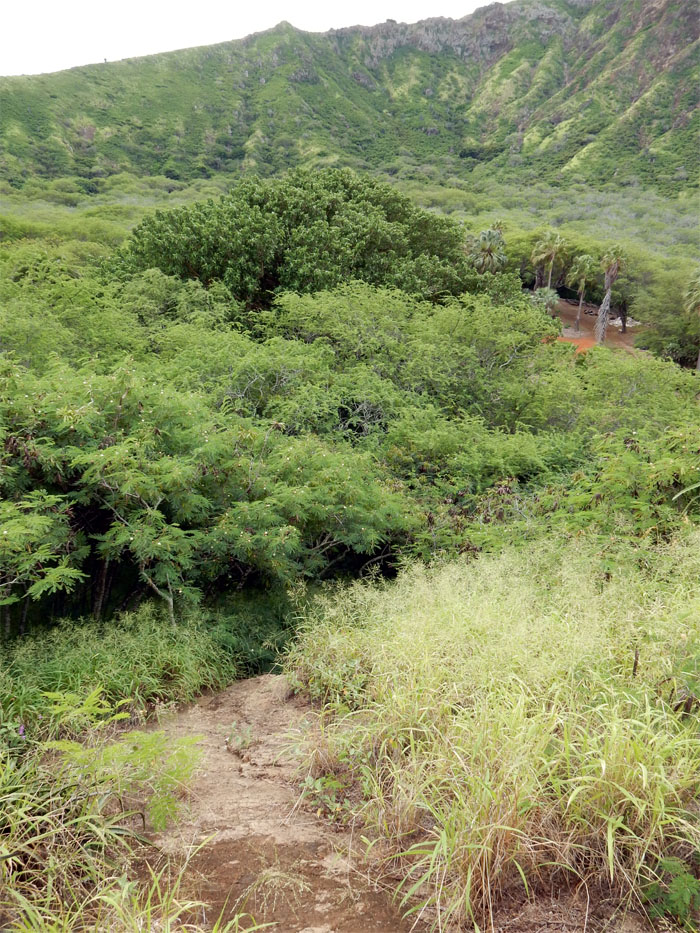
A ravine presented the least resistance to starting our hike. As we hiked deeper into the ravine, resistance presented itself in the form of thick vegetation.
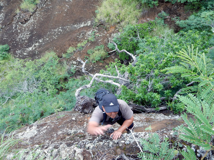
Glenn climbing out of the ridge to escape the overgrowth.
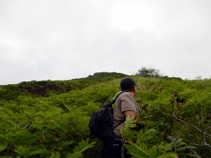
From the frying pan into the fire. More overgrowth.
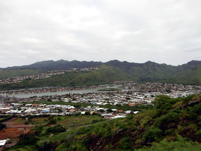
Looking back at the now diminished Fishpond Wall. Hard to believe it once covered 523 acres. Something had to give way for Henry Kaiser’s suburban vision.
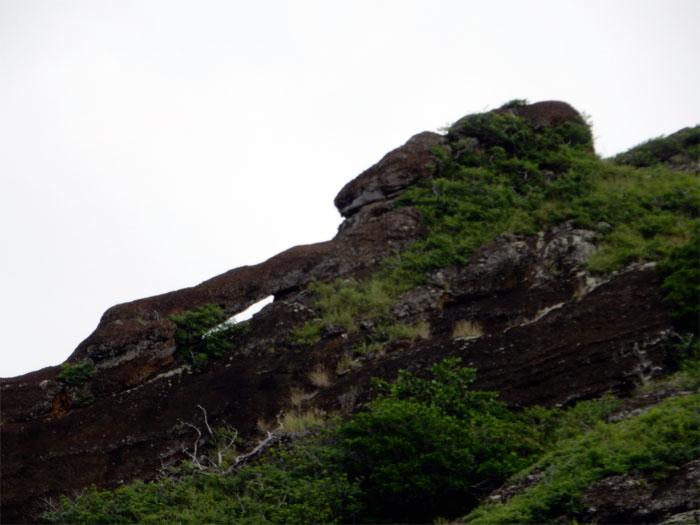
Looking up at the puka. Hard to find, as most people walk right over it when hiking the rim.
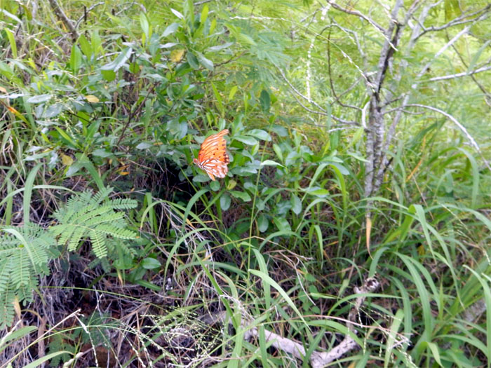
Butterflies were flittering and fluttering all around us.
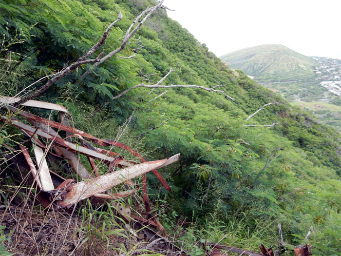
Higher up, remnants from the WW2 bunkers were strewn on the slopes.
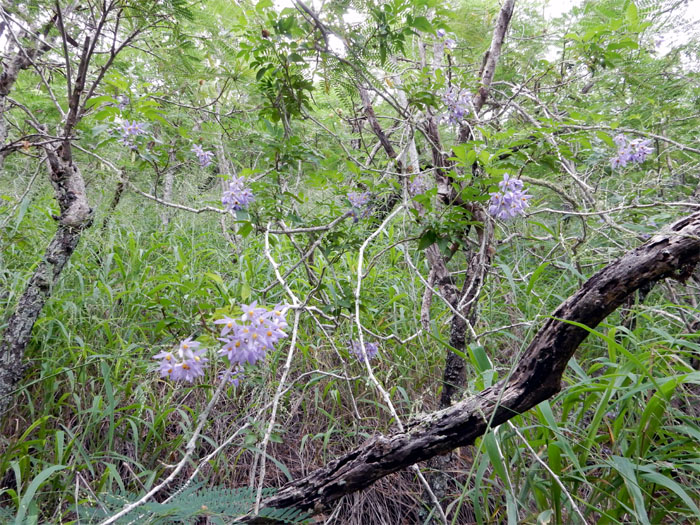
Purple flowers amidst a sea of green and reddish brown.
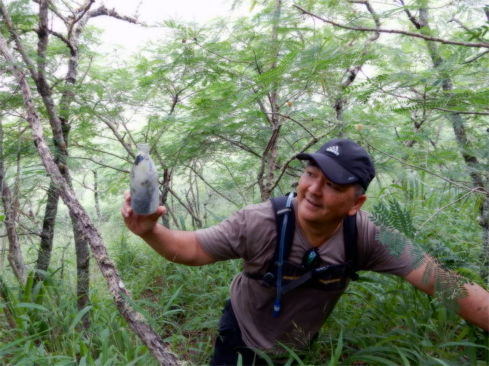
Glenn found what looked like to be an antique bottle. Maybe not. Dirt makes everything look old.
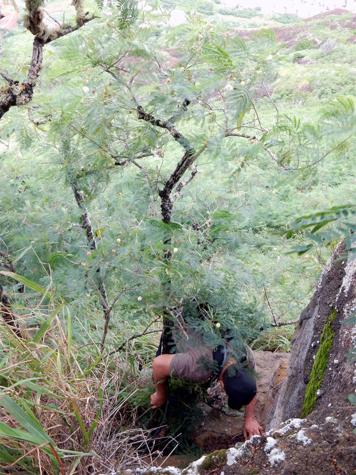
Glenn climbing up the “hardest” section of the ridge.
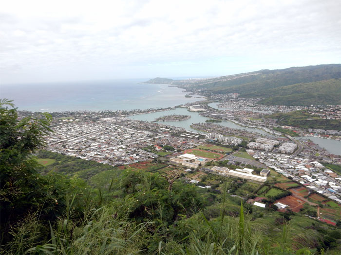
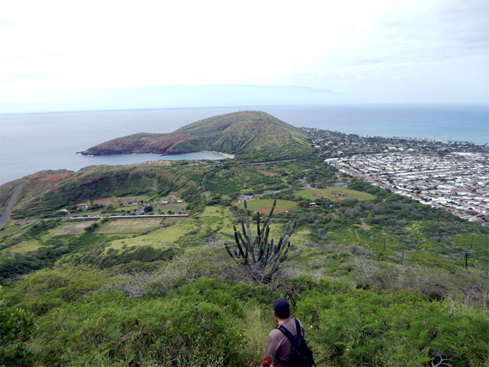
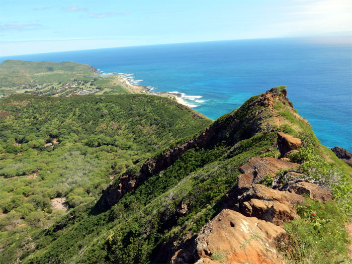
The view at the top, looking out towards Diamond Head.
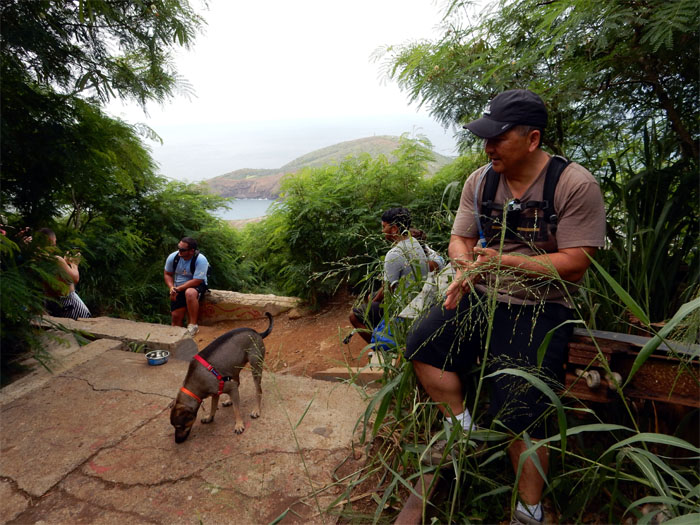
Most of the four legged hikers put their two legged owners to shame on the tracks coming up.
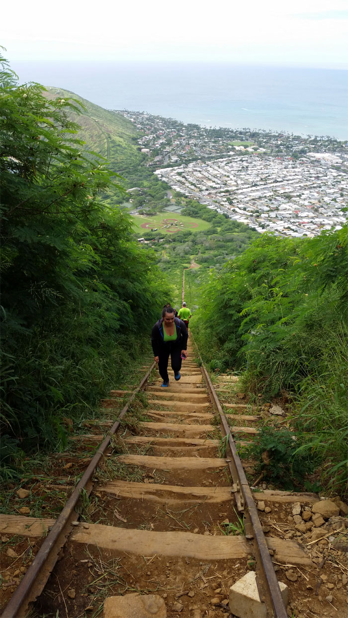
Jasmin took the “easy” way coming up the tracks to meet us at the top.
We went down the sheeted rock trail that paralleled the tracks on the left. The tracks were bustling with rush hour hikers, while we had the zipper lane all to ourselves.
Leaving behind Koholepelepe, the original Hawaiian name for this cinder cone, which translates to traveling vagina or fringed vulva. According to legend, Pele was being pursued by the pig demi-god, Kama-pua’a. Pele’s sister, Kapo sent her traveling vagina to lure Kama-pua’a away so that Pele could escape. Looking at Koko Crater on Google Maps, the resemblance to the Hawaiian name is obvious.
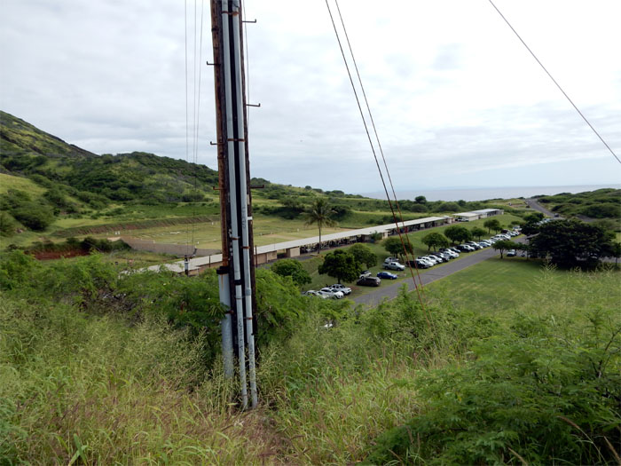
Glenn had someplace to go and Jasmin was tired from her night work. I continued the hike solo by dropping behind the shooting range and followed the highway out.
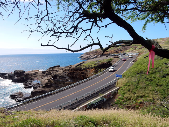
I soon climbed up a spur ridge dubbed “49er ridge”, this is the same spot where the lava tube goes underneath the road and out to the rugged and rocky shoreline.
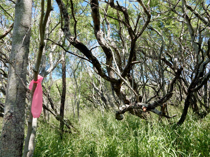
The lower part of the ridge was covered by thickets of hard and sharp trees.
It was a scorcher of a day on the slopes of Koko Crater.
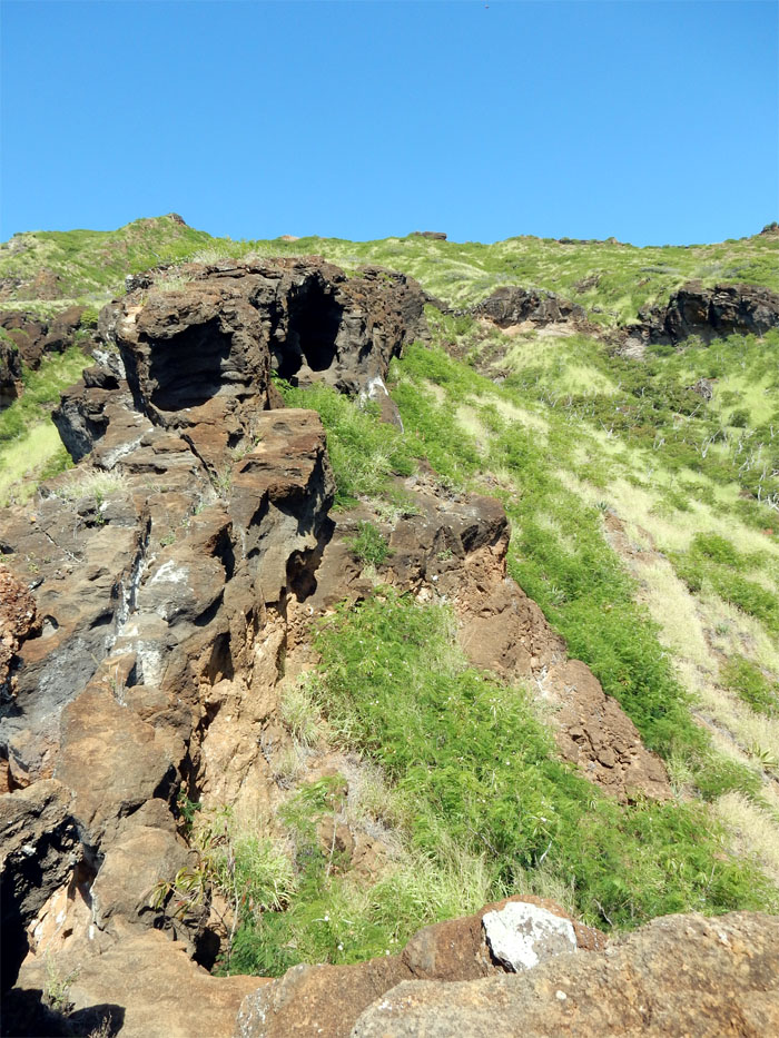
This section reminded me of the arch, but without the arch.
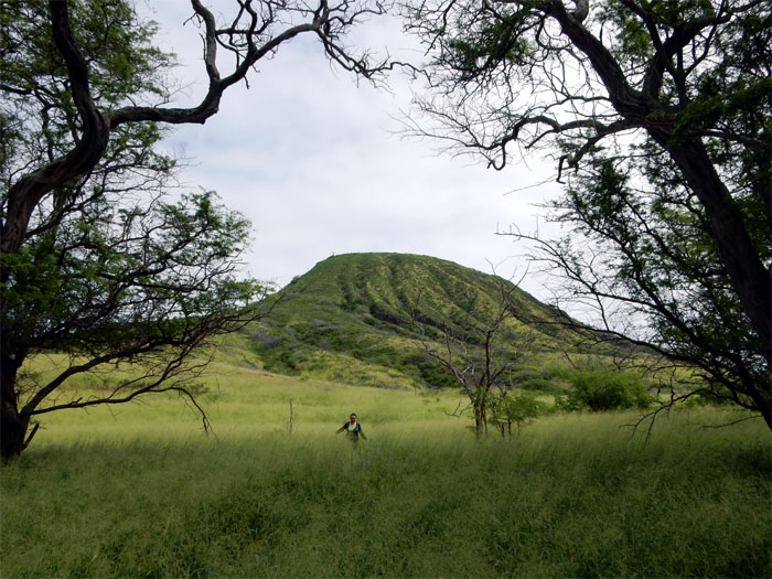
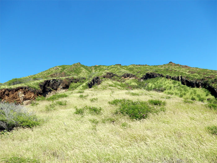
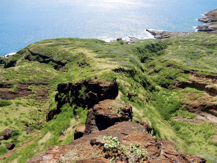
Just one of many ridges that leads up to the crater rim. So many to explore.
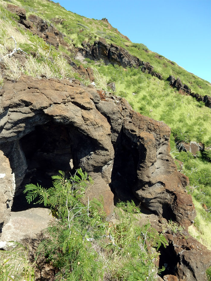
Interesting rock caves formed by wind and erosion?
Scrambling up the ridge, the loud gun reports from the shooting range seemed uncomfortably close.
Click here for the larger image.
Hiking down the open and exposed crater rim.
Click here for the larger image.
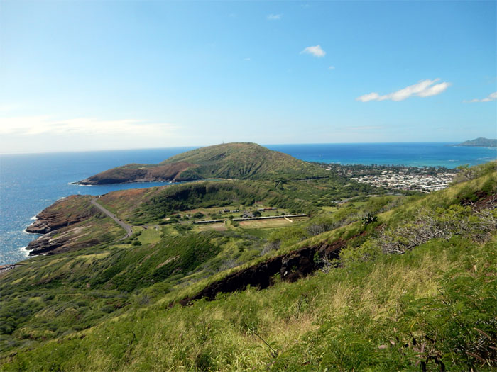
The crater floor is home to a botanical garden and horse stables. Come for the tracks and stay for the trees and horses.
The fun, short and hot hike covered 3.83 miles. Many more spur ridges and caves to explore on the crater.



{ 0 comments… add one now }