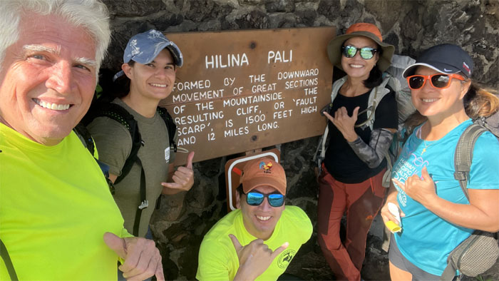
Chico, Jen, Lilyn, Quan and myself flew to the youngest island in the Hawaiian chain to do a camping trip this MLK weekend. We picked up our spacious car and the rest of the later arrivals and got our supplies before heading to Volcano National Park.
We picked up our camping permits and somebody tried to dissuade us from going down our intended trail as it was extremely overgrown, strewn with boulders and passage through the halekoa forest was going to be bad. An alternate trail was suggested that was not even on the maps. We stuck to our guns and drove the long road to the lookout to begin our descent down to the coast.
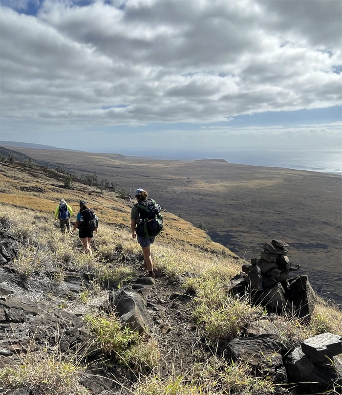
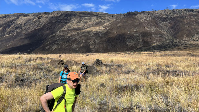
Looking for our destination on the southern seacoast which was hampered by the overgrown grass that covered the trail.
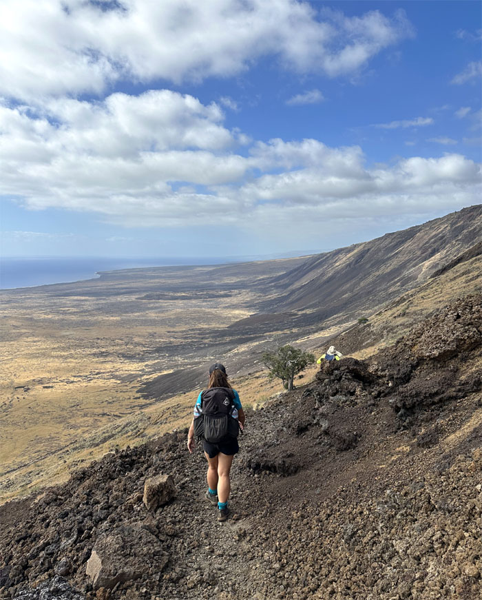
Hiking down the fault scarp, which came about due to a vertical movement of the mountainside.
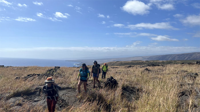
The mountain and coastal views were simply stunning.
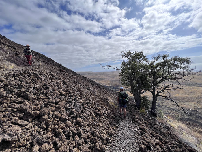
Passing one of the few trees on the trail.
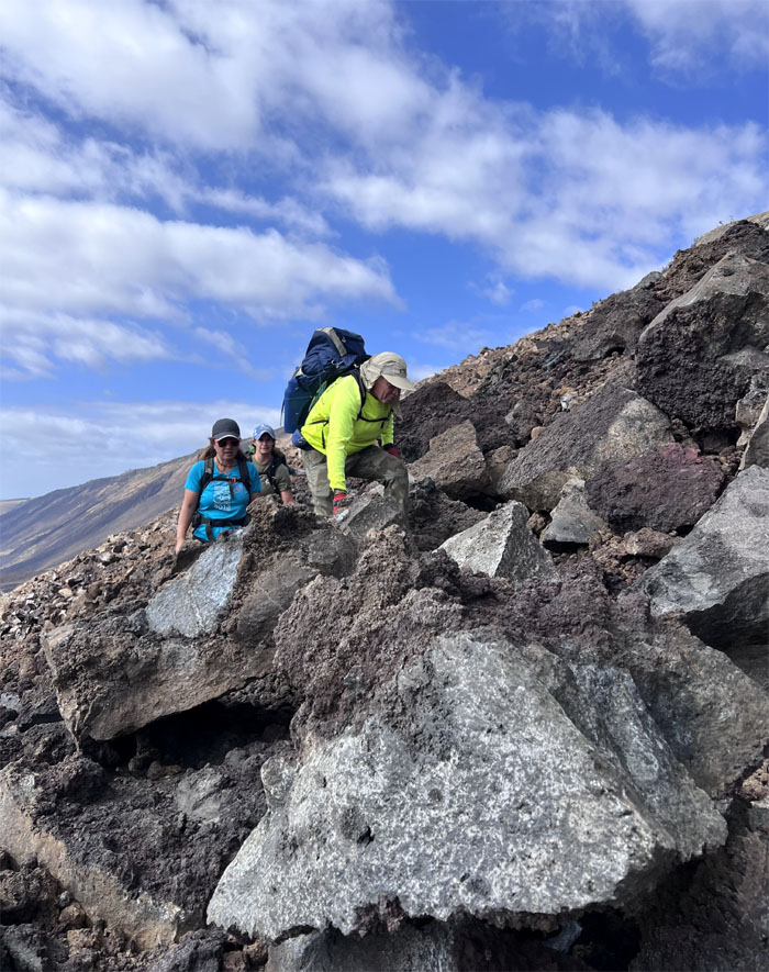
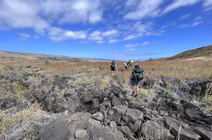
Climbing over boulders that blocked the trail took an inordinate amount of time and effort on our part.
The weather was kind to us in the form of overcast clouds and breezy conditions as we made our way down over two dozen switchbacks.
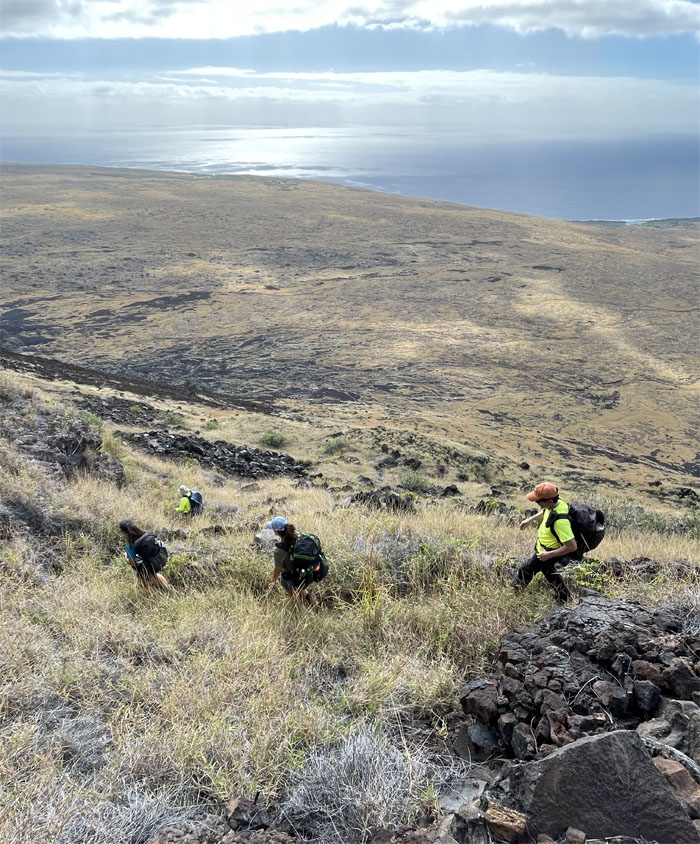
We dropped close to 3,000′ in elevation making our way down the cliff.
Looking back at the “windy cliff” we had just descended from.
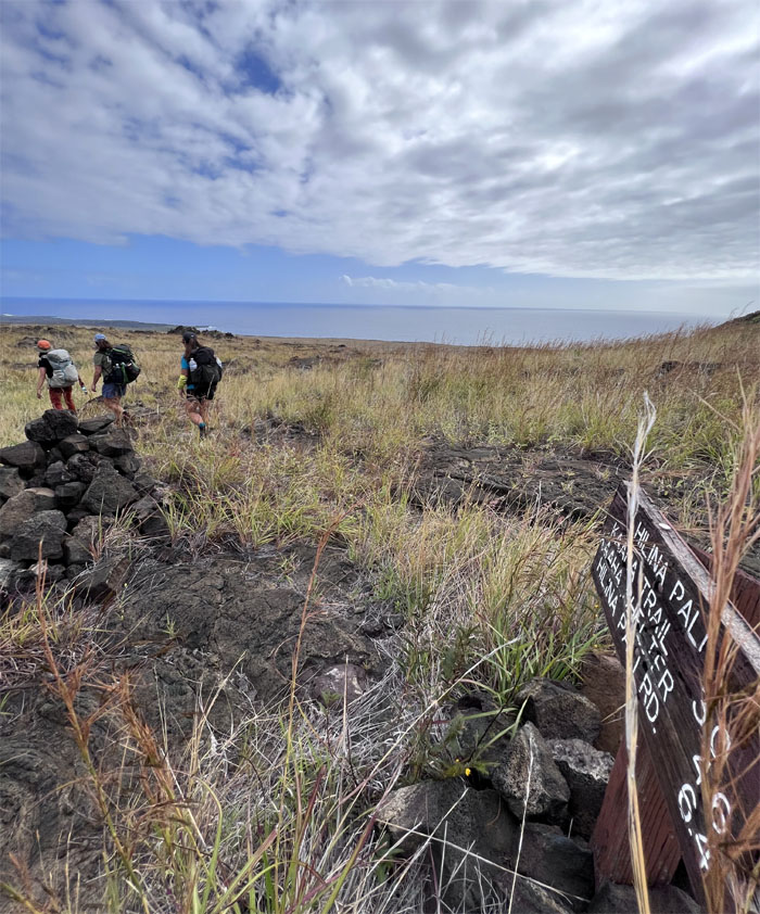
Passing the junction to Ka’aha beach.
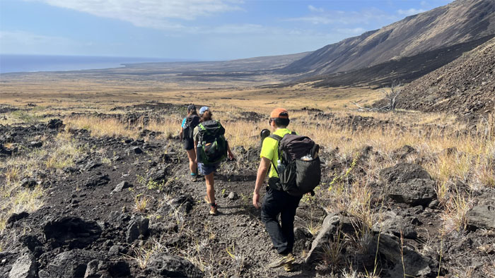
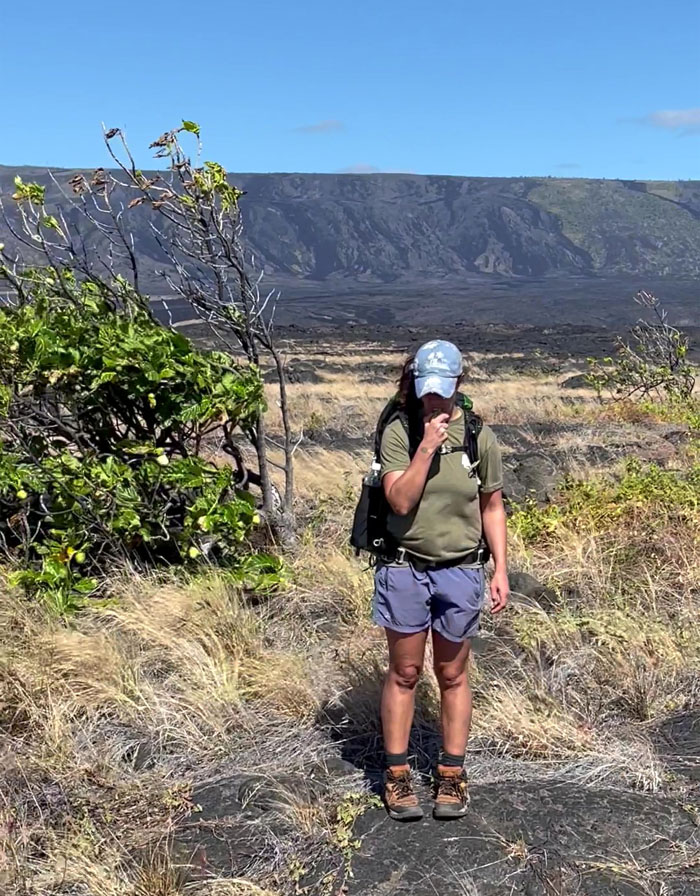
Following the trail that was largely populated with dry grass and shrubs.
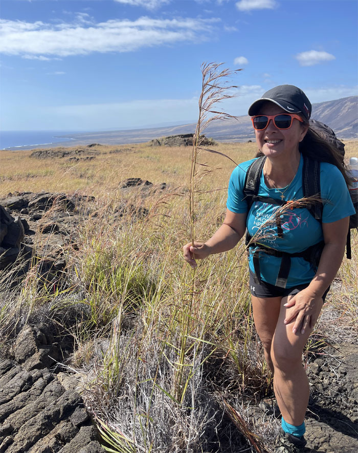
We finally found the grass that was taller than us.
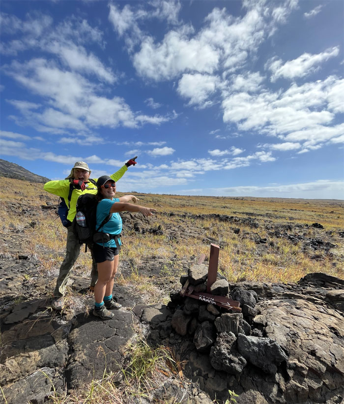
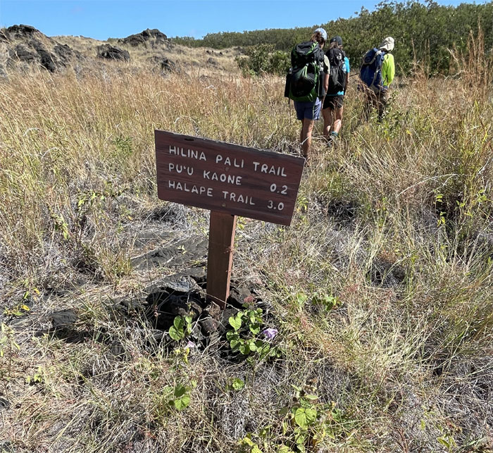
Passing another trail sign before heading into the hale koa forest that we were warned about.
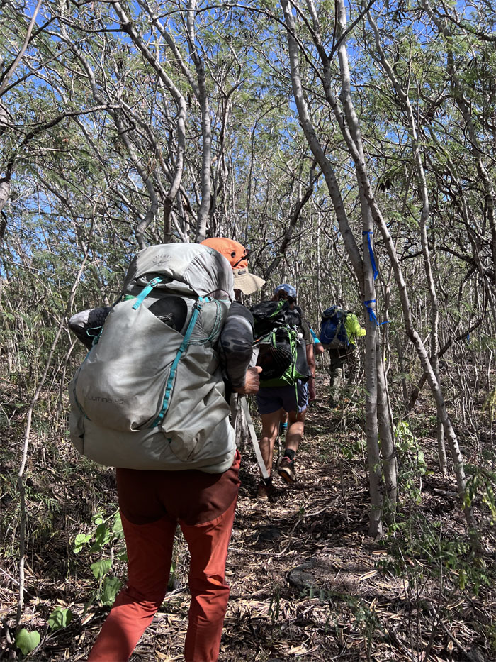
The passage through the forest was tough going, that was made easier by the blue flagging and corridors through the trees.
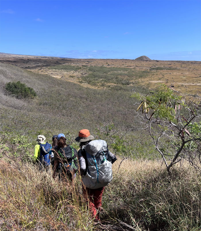
Descending down to another patch of hale koa trees which was less intimidating once we were in the thick of things, so to speak.
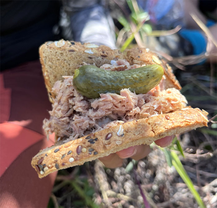
A pickle a day puts the crunch in the sandwich and keeps the cramps away.
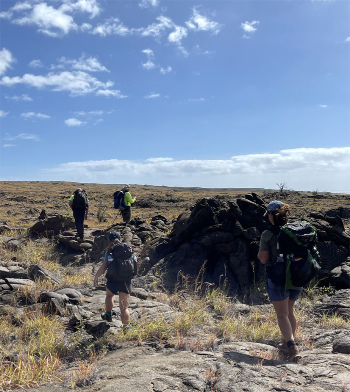
Following the ahu or rock cairns that helped us stay on trail.
Passing a hill that was likely formed by faulting. But then again, I’m not a geologist.
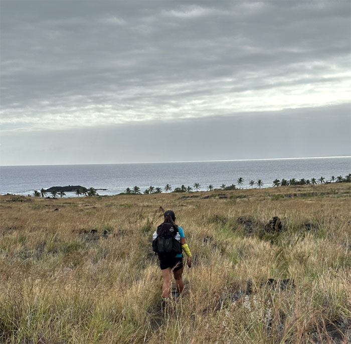
Going down the gradual coastal slope to the ocean.
Quan headed towards the oasis of coconut trees and sand as we left the volcanic landscape behind us.
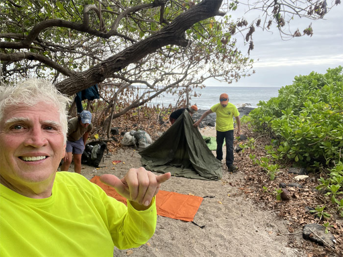
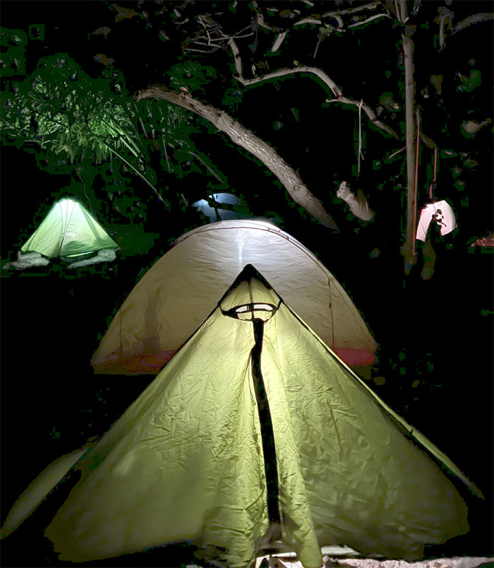
Setting up camp near the rocky shore, where we saw a handful of other hikers on the beach.
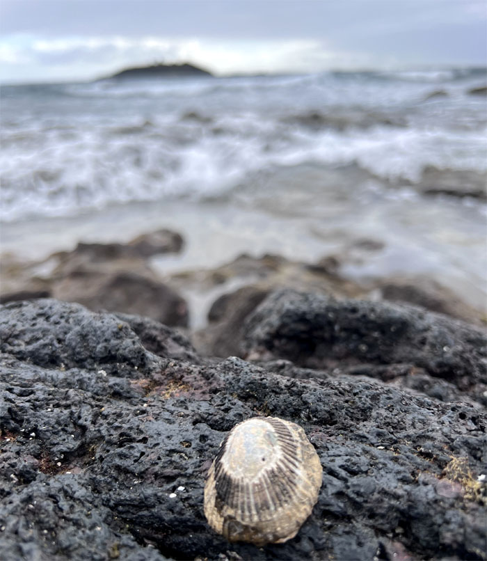
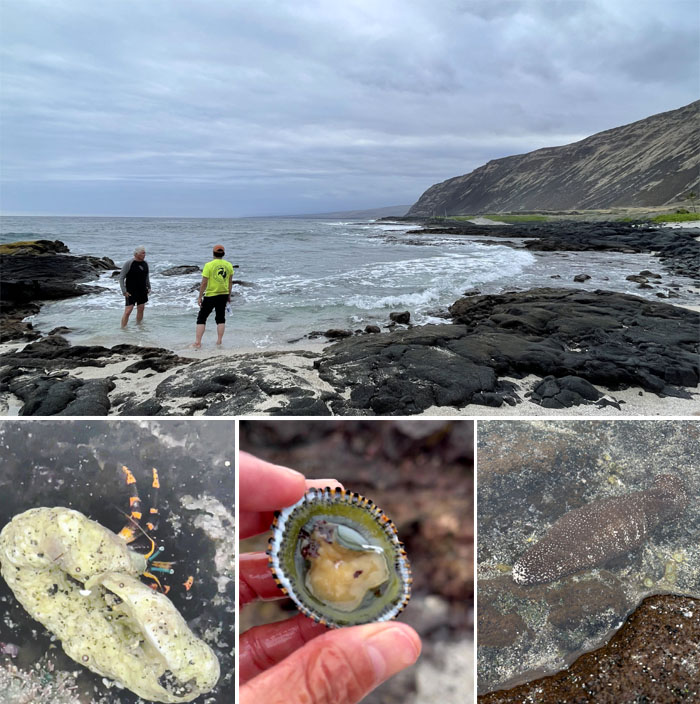
Ocean life. Quan was excited to discover an abundance of opihi clinging to the seaside rocks, which were pried off with a tent stake and gulped down raw. The sea cucumber and hermit crab was left unmolested.
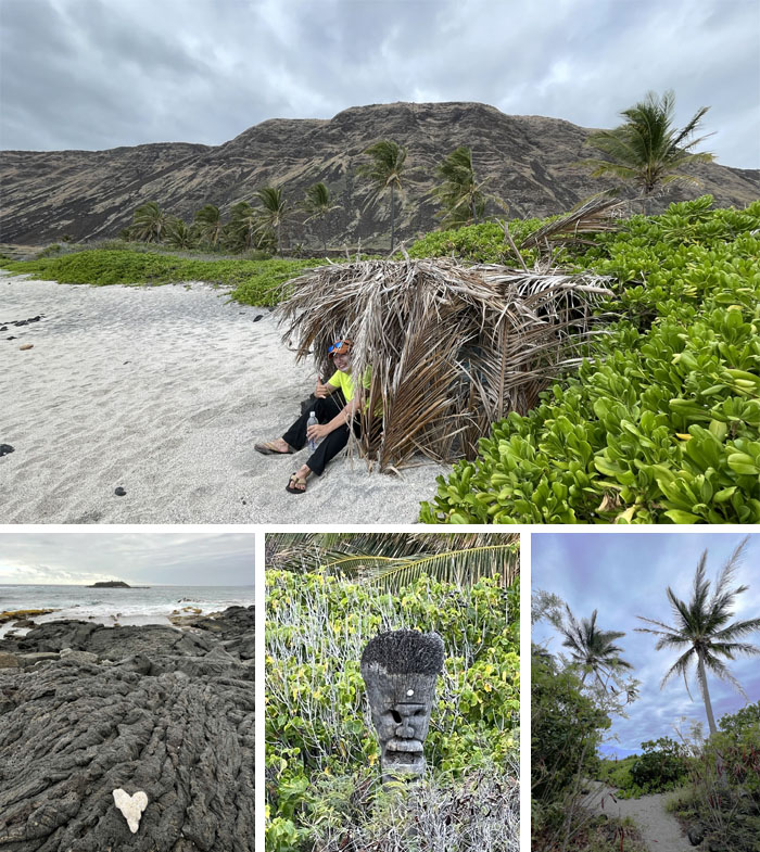
Beach life. Walking on the sands under the 1,500′ cliffs of Kapukapu, sitting in a thatch hut, looking at the small island of Keaoi offshore, and finding tikis carved from coconut trees.
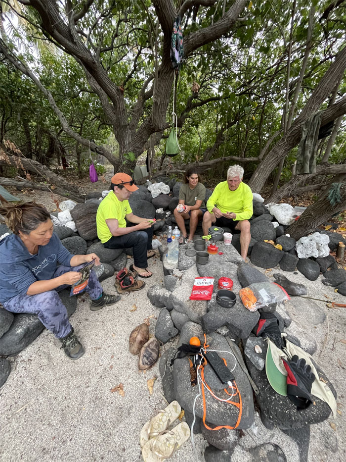
Making dinner at the community kitchen. Beef Stroganoff was the winner. We hung our food up in the trees as we didn’t want any rodent visitors in the tents.
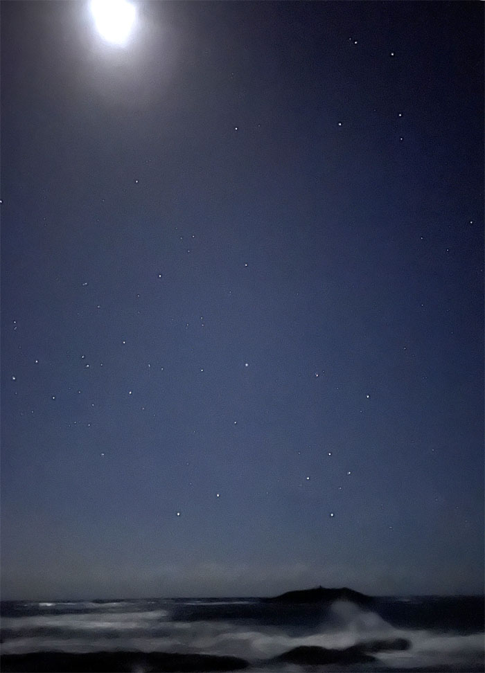
Woke up the next morning to a canopy of clear skies punctured by pinpoints of stars and the crashing sounds of the surf rolling into the beach.
Wakey wakey, eggs and bakey. No eggs. No bacon. We had to settle for ramen and bars.
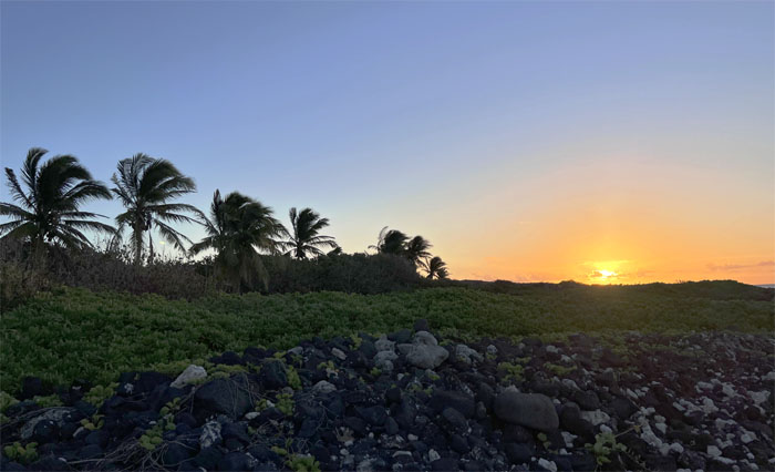
Catching the breaking sunrise.
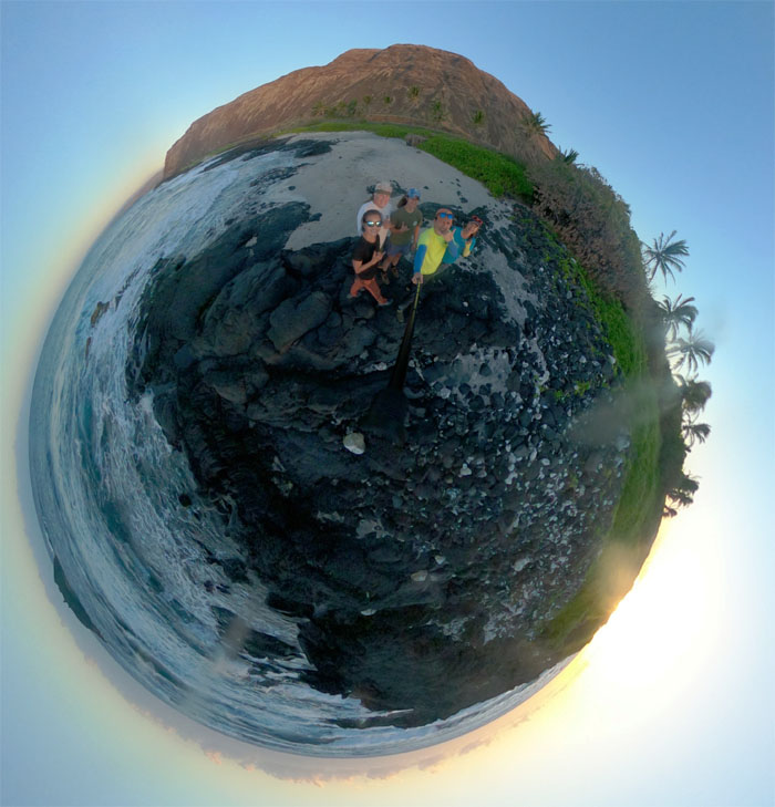
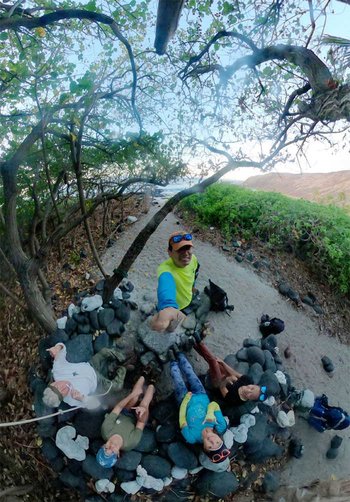
360 degree group photo on the beach.
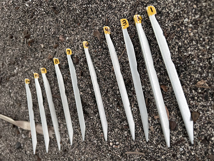
Pulling up stakes. Always good to number them. It lets you know which ones are missing. Still missing.
Group photo under the milo tree, which was once considered sacred and its use was prohibited by commoners.
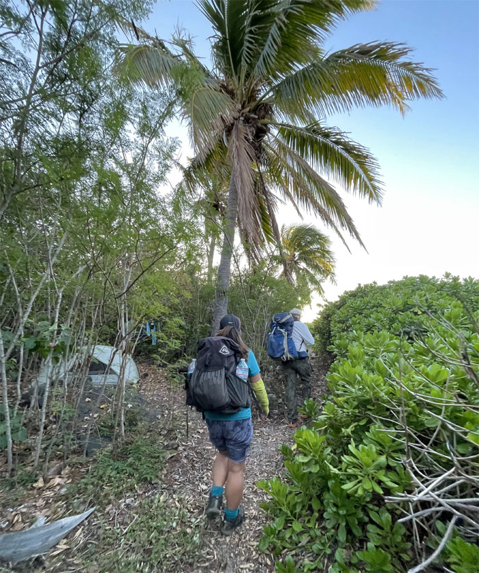
Passing other hikers tents as we left our beach campsite.
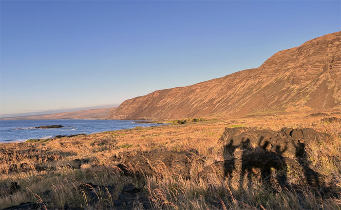
Shadow hikers in the morning sun.
No worries as we didn’t bring our fishing poles and throw nets.
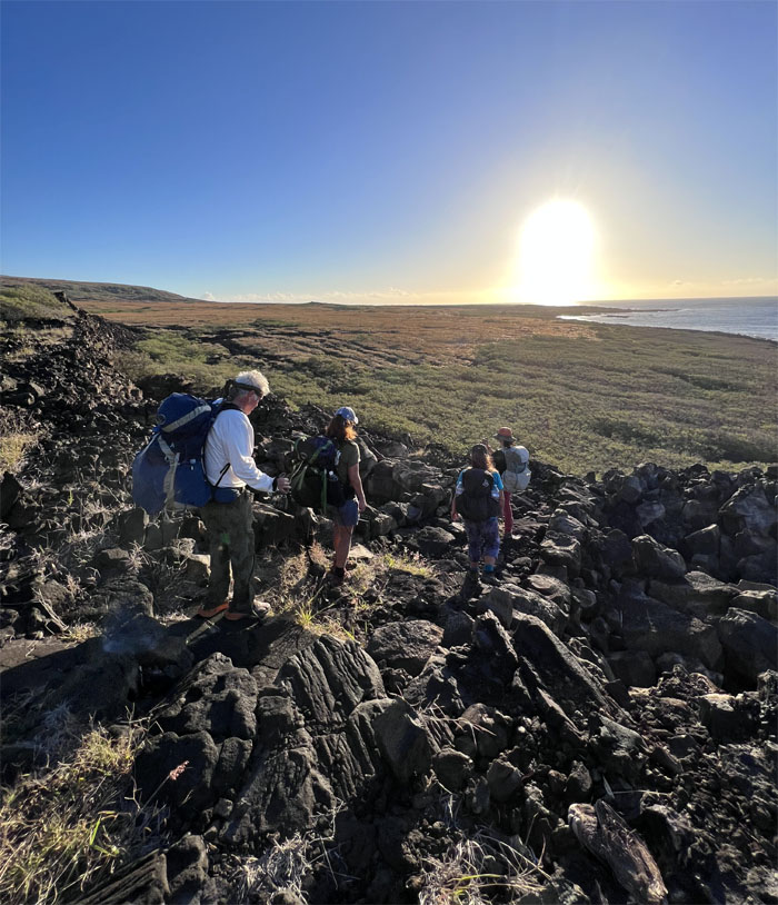
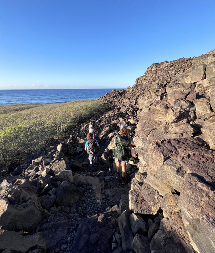
Making our way down through a huge pile of rocks that must have tumbled down from the earthquakes that shake this area.
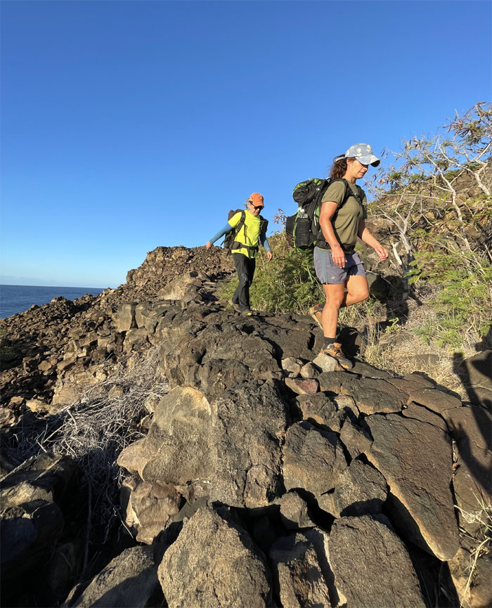
Thanks to whomever made the passable trail through the jumbled lava rocks.
Making our way back down to the trail.
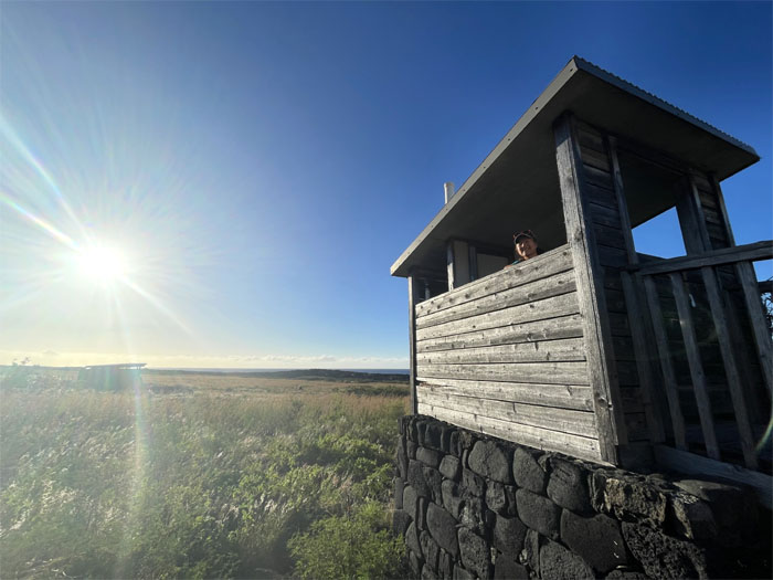
Quan checking out the outhouse by Keauhou beach.
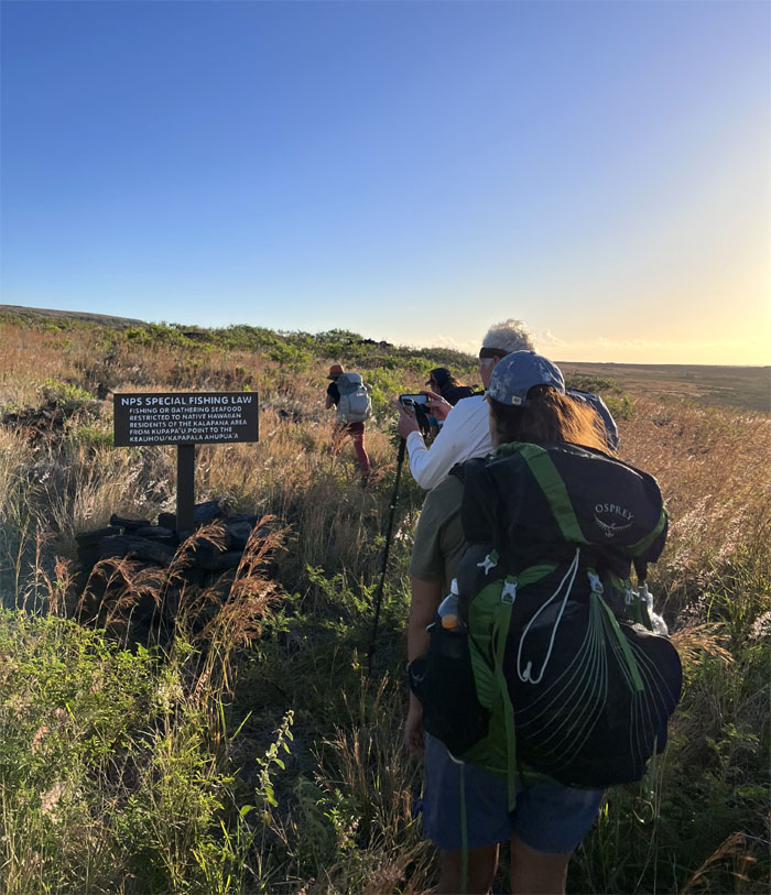
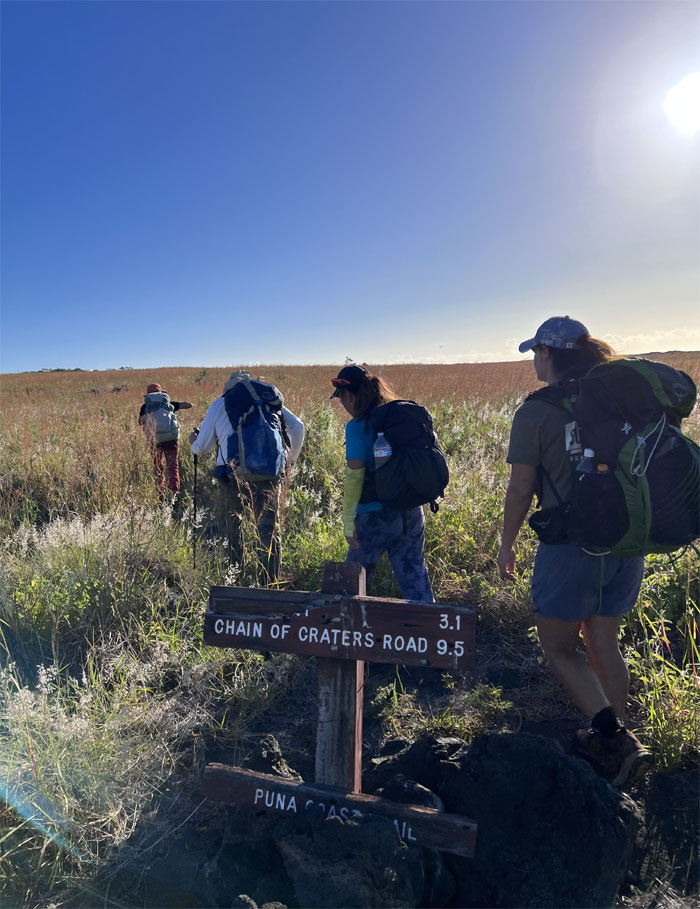
Passing another trail sign. We still had a long way to go before the finish line.
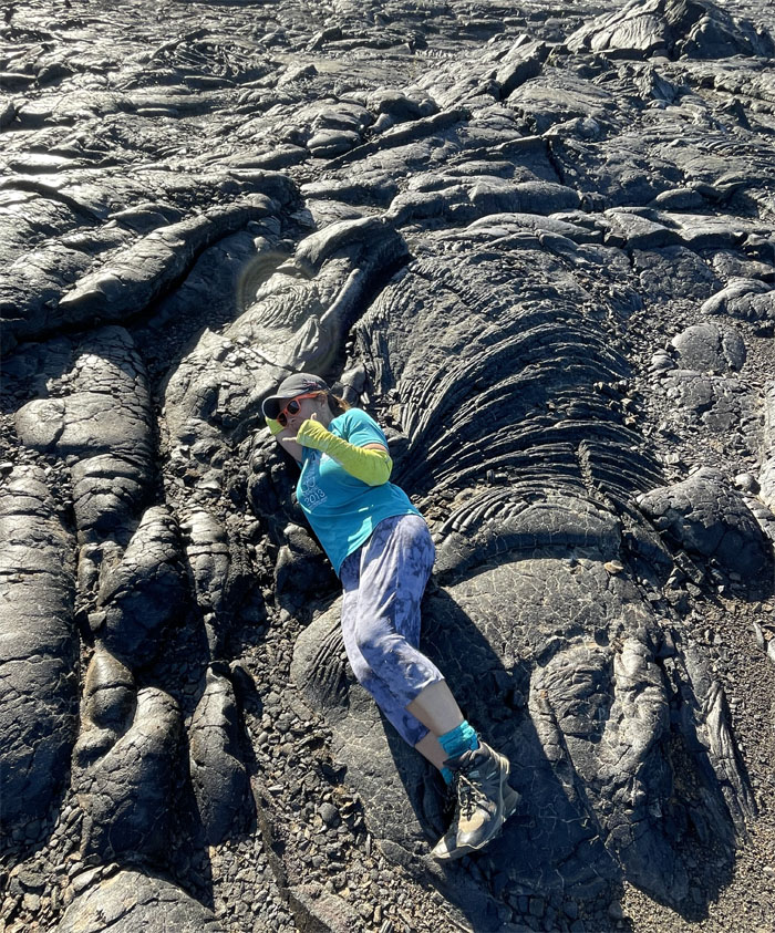
Scientific fact. Lava wings are considerably heavier than snow angels.
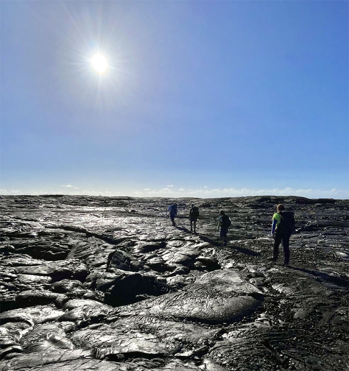
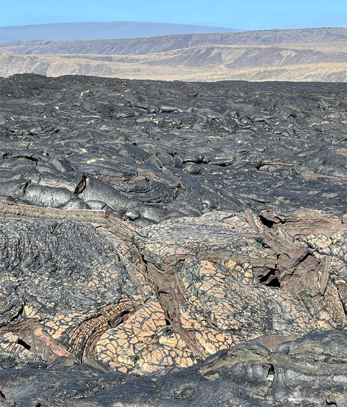
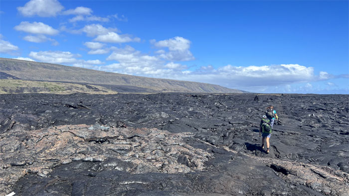
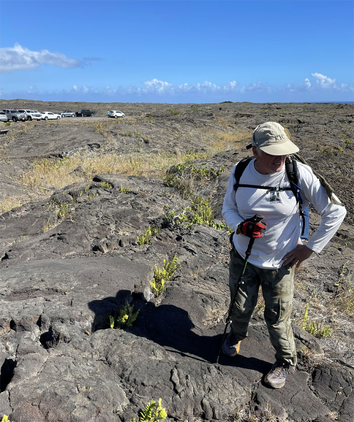
Going across a “recent” shelf of lava landscape marked by the absence of any plant growth.
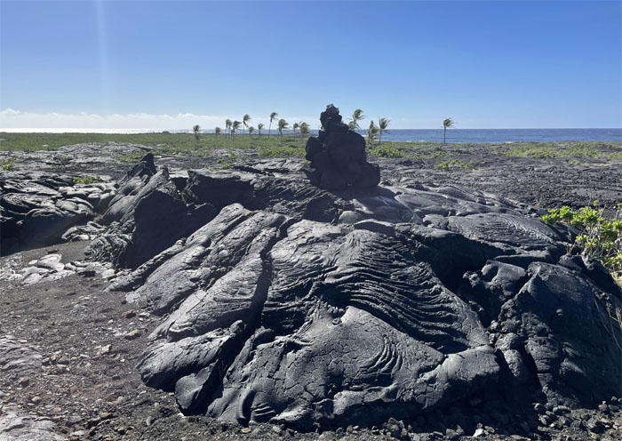
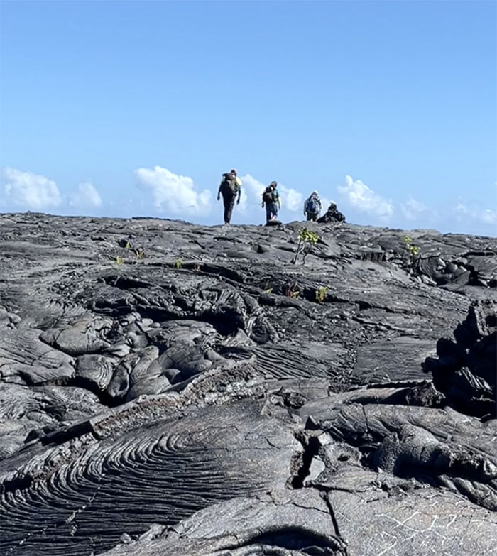
Walking across the smooth and black, ropy surfaces of the lava known as pahoehoe where spots of contrasting color were scattered across the field.
Looking out towards Apua Point.
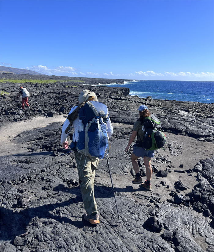
The trail soon started taking us closer to the coastline.
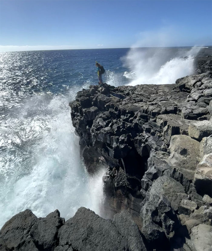
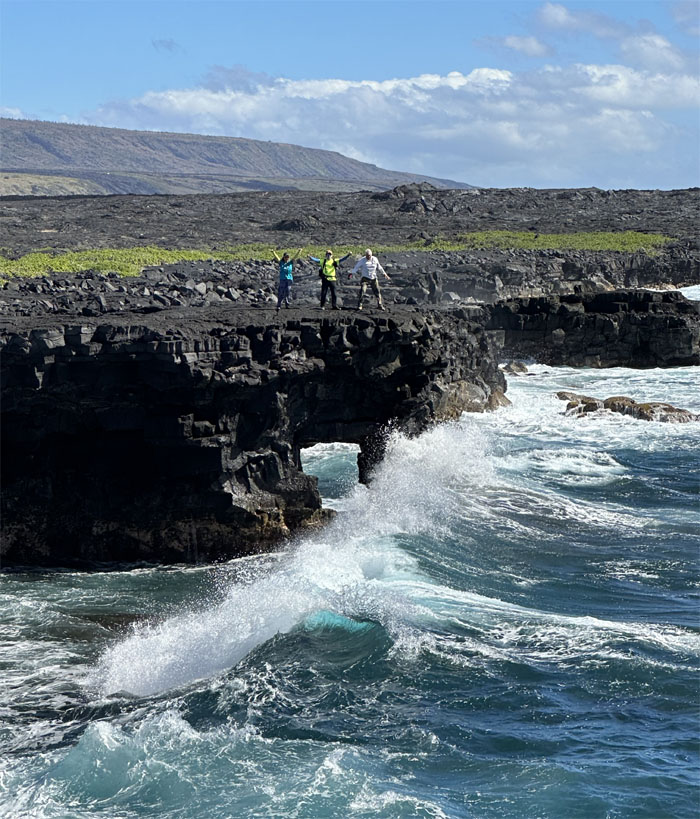
The winds were crashing the waves into the sea cliffs with spectacular water works.
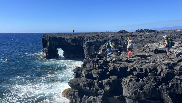
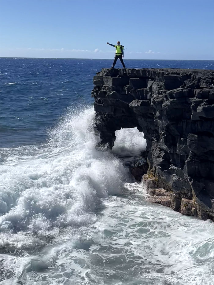
Approaching nature’s work of arts that started out as sea caves and over time became sea arches.
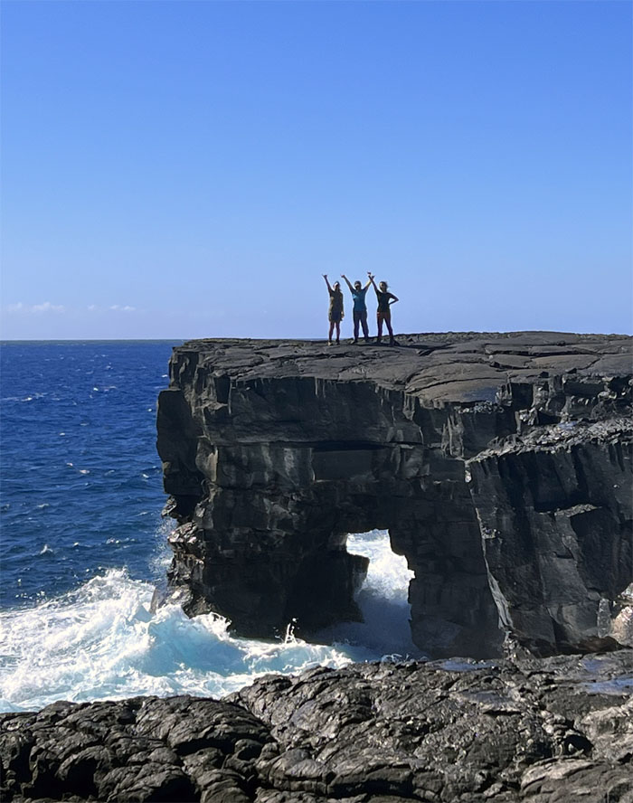
The girls standing on top of one of numerous sea arches that dot the Puna coastline.
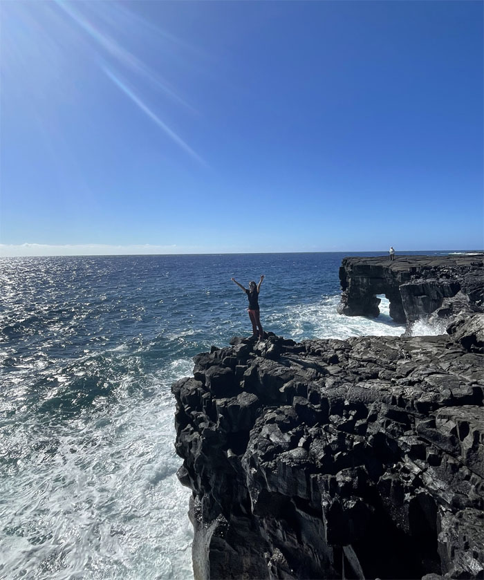
Lilyn standing in between arches.
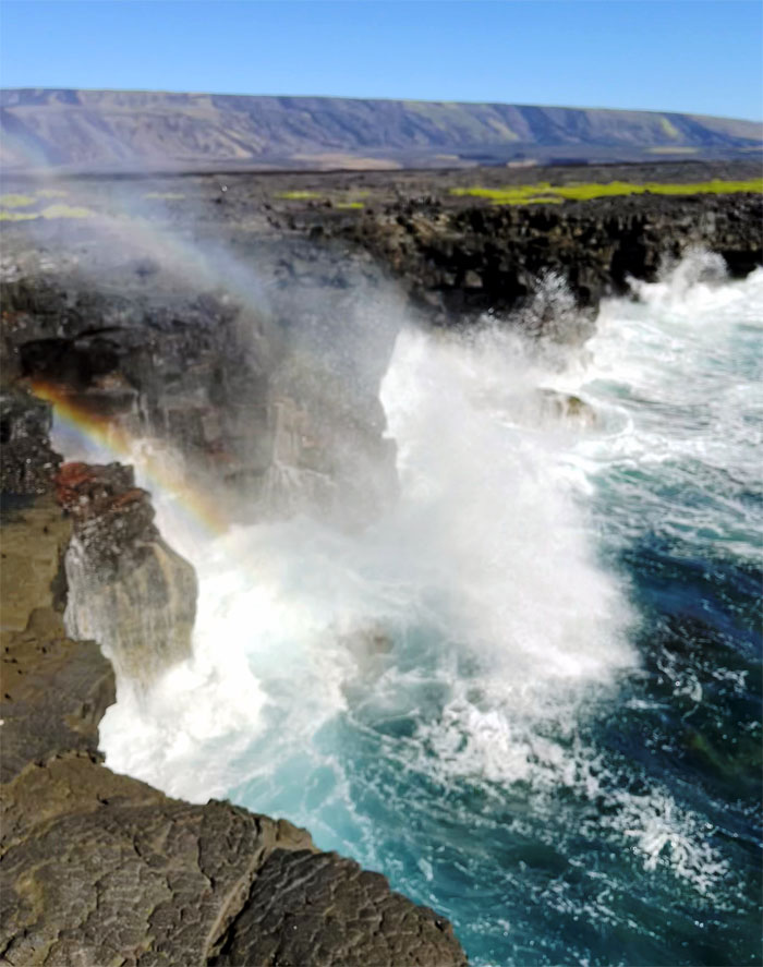
Rainbow refractions in the crashing surf.
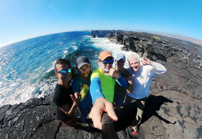
Group photo with the two sea arches behind us.
It was quite captivating and mesmerizing to watch the incoming surf batter and spray the sea cliffs.
Standing on top of the sea arch that will eventually collapse to water and wind erosion and become a sea stack. Take a picture. It will last longer.
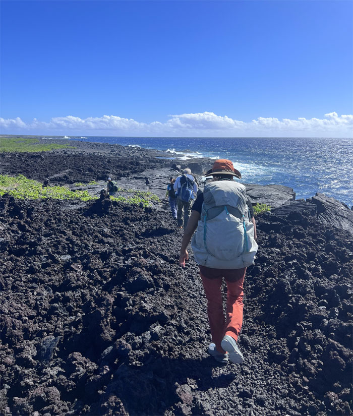
Back on the coast trail.
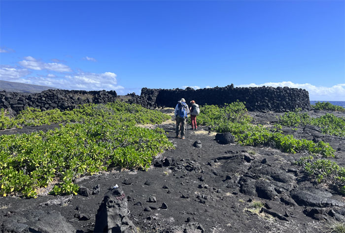
Approaching a rock walled structure where we sought temporary shade from the blistering sun.
Hiking on black lava underneath the cloudless sky. At high noon.
She likes it! Hey Jen! Just don’t give her a bowl of Life cereal.
Approaching the Chain of Craters Road hastened the pace for the group while blisters hampered my progress.
We made it to the parking lot one hour early from our scheduled pickup time. No shade from the sweltering sun except that provided by automotive transports ensured that we got more than the daily requirement of Vitamin D. Thanks to Aida for picking us up and dropping us back to our roomy car, where we made the drive back to Hilo and checked in our hotel. Picked up Mari from the airport and had our post hike meal at Van Vietnamese Cuisine. Ono as usual. We then went back to the hotel to get a couple of hours of shut eye before our next “hike.”
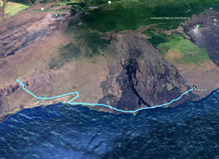
Our two day camping hike covered roughly 16.3 miles through the rugged lava landscape of the Ka’u district and punctuated by spots of coconut trees and sandy beaches and surf splattered coastline. Not a bad way to spend the weekend.
We woke up a couple hours shy of midnight, some more well rested than others and drove to Volcano National Park.
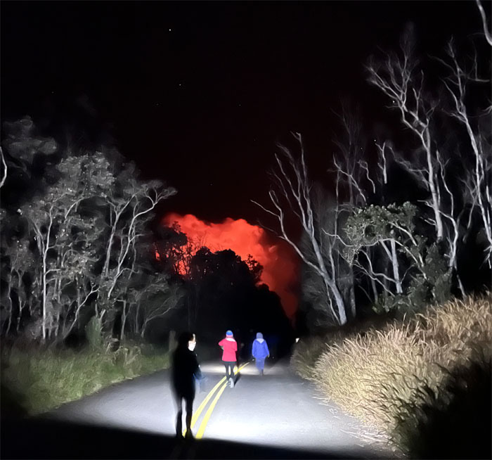
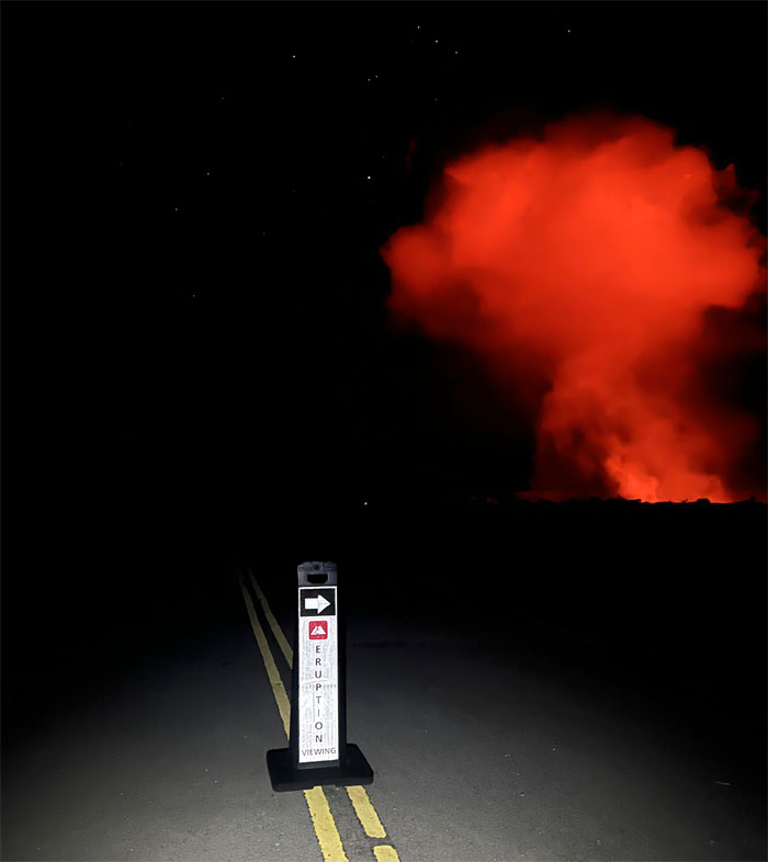
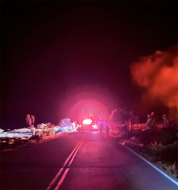
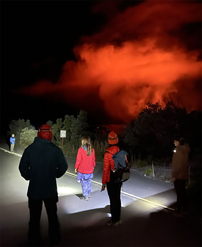
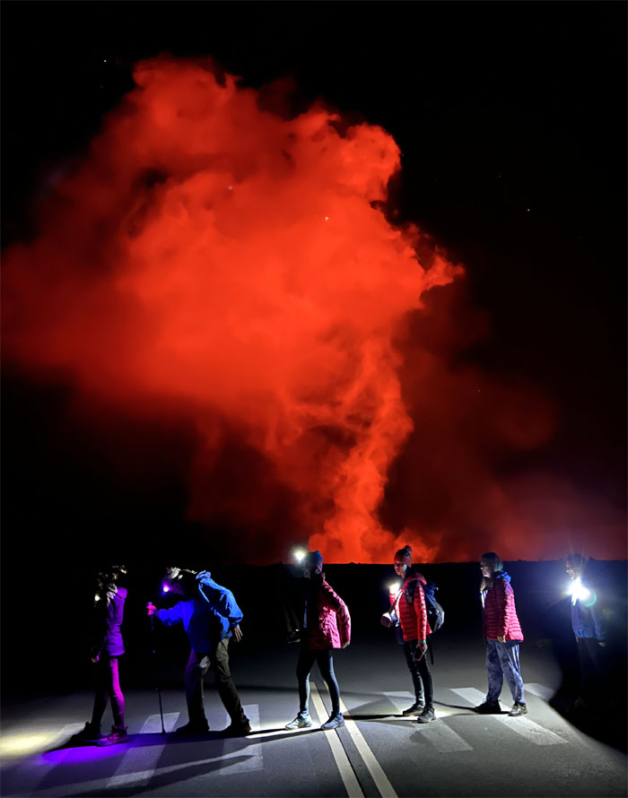
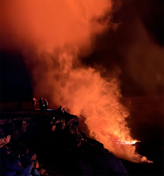
The magma eruption colored the billowing smoke with a crimson tinge which contrasted sharply against the night sky as we walked up the road in the chilly night.
Unfortunately the evening was marred by the cardiac death of a visitor from Arizona, who collapsed at the viewing site.
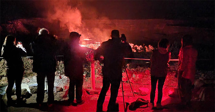
Walking down to the viewing site to catch a glimpse of the eruption that resumed on January 5, 2023.
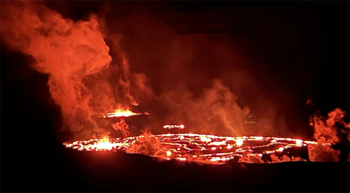
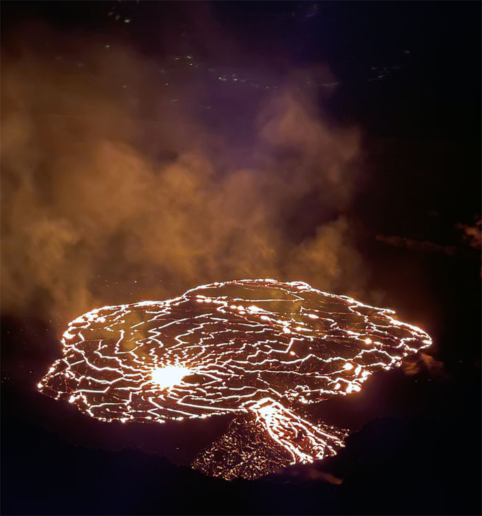
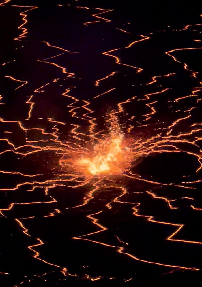
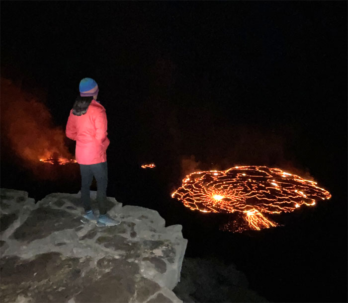
Looking at three separate lava lakes within the crater.
We resumed our walk on the road and kept it to under 35 mph.
Crater Drive. Somebody needs to be barefoot. Wearing a designer suit wouldn’t hurt either.
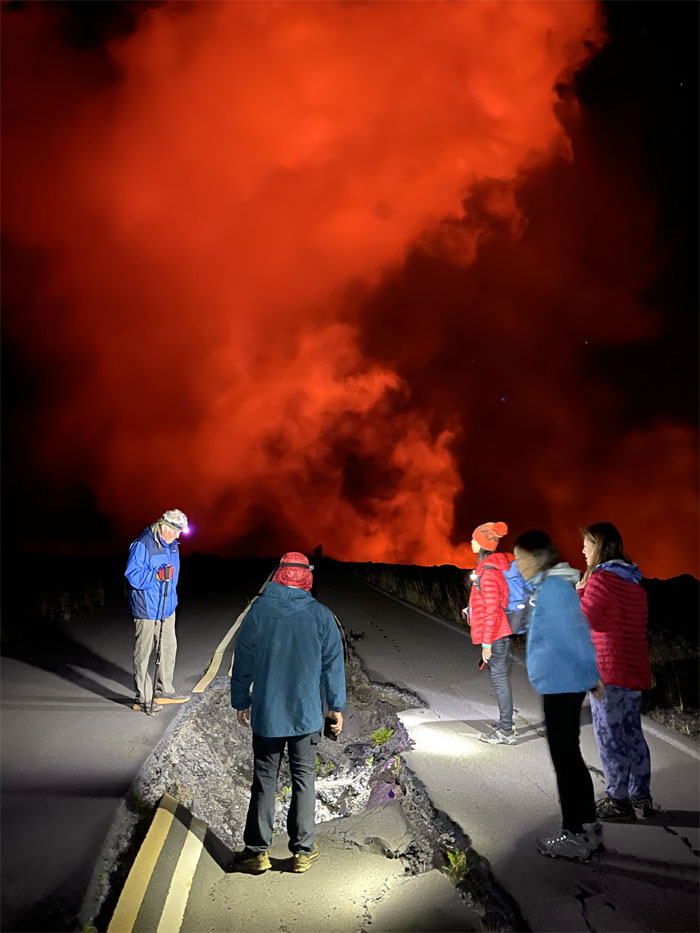
Checking out the damage that the 2017 earthquake did to roughly four miles of road.
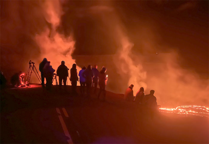
The road soon literally ended as photographers and spectators perched themselves on the edge of the road.
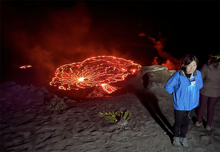
Peering into the largest lake that is roughly 25 acres in size and home to Pele, the goddess of fire in Hawaiian legend.
The heat from the lava lake was palpable and the gurgling sounds of the lava fountains were quite clear from our position.
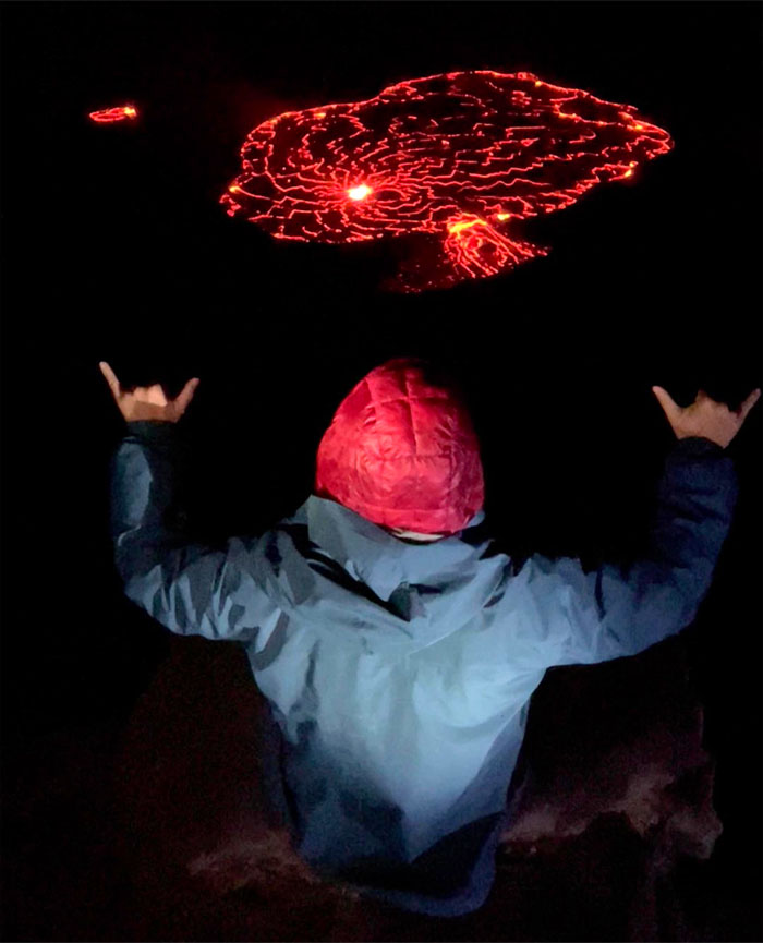
Sitting on the edge.
Standing on the edge.
Somebody didn’t want to get close to the edge.
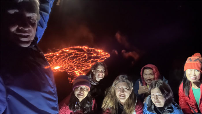
Group photo with suitable red tinge coloring.
Looking over at the road that is literally hanging off the edge of the crater wall.
Aida stayed behind to shoot the sunrise from the Kilauea Overlook as we took our leave of the crater overlook.
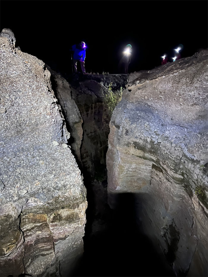
Crossing back over the large sink hole that fractured the road in half.
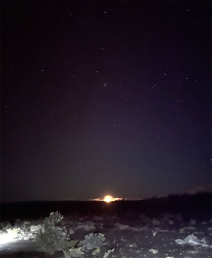
Walking back to our car, we saw the rising moon in the night sky. We debated about grabbing a late night snack, but no suitable places were open to take our business, so we retired to our hotel for the night. Glad that we were all able to bear witness to the ongoing eruption of Hawaii’s youngest volcano.
Photos taken by Aida Gordon, Jen Odence, Lilyn Avendano, Mari Saito, Quan Haberstroh, and yours truly. Not necessarily in order.
Note: I have been made aware that some hikers have been using my blog as a hiking guide and getting lost on the trails. Please note that this blog was made to document the hike for the crew(s) that did it. That is why some of my comments will seem to have no relevance or meaning to anybody outside of the crew(s) that hiked that trail. My blog was never meant as a hiking guide, so please do not treat it as such. If you find inspiration and entertainment from these hikes, that is more than enough. If you plan on replicating these hikes, do so in the knowledge that you should do your own research accordingly as trail conditions, access, legalities and so forth are constantly in flux. What was current today is most likely yesterdays news. Please be prepared to accept any risks and responsibilities on your own as you should know your own limitations, experience and abilities before you even set foot on a trail, as even the “simplest” or “easiest” of trails can present potential pitfalls for even the most “experienced” hikers. One should also always let somebody know of your hiking plans in case something doesn’t go as planned, better safe than sorry.



{ 0 comments… add one now }