
Scott pointed out this trail to us when we came down Manana Trail last weekend. Since it was a trail that I had never done before, that is how some of us found ourselves at the trailhead to Manana this particular Sunday morning. Again.
Trailhead
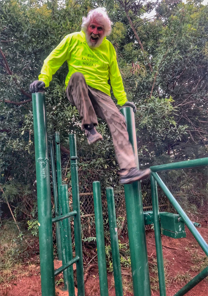
Chico burning off excess energy.
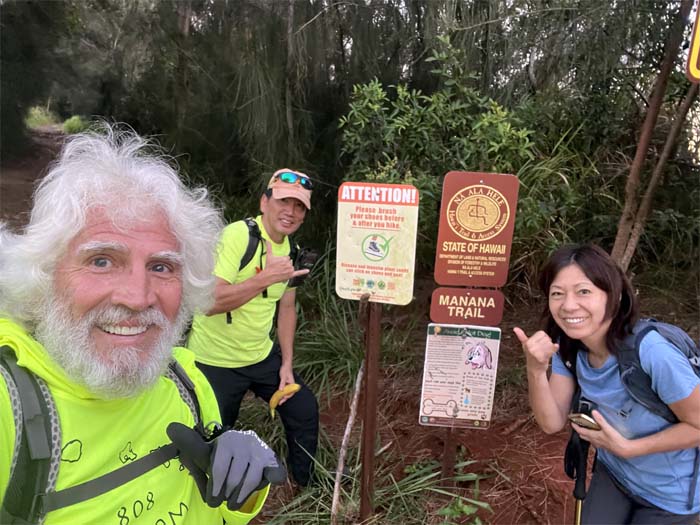
Trailhead
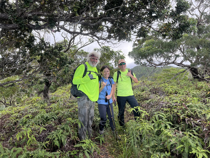
Missing one from the group photo.
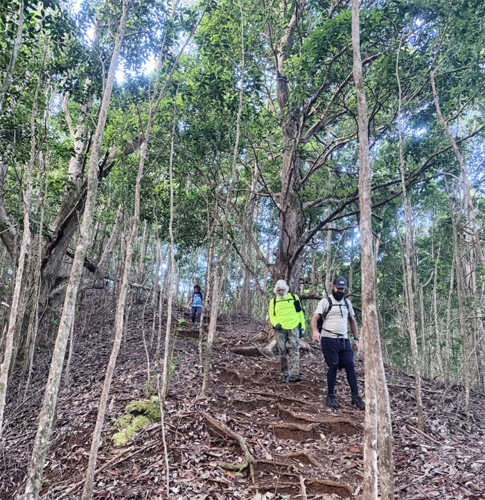
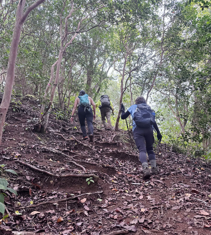
Manana Trail
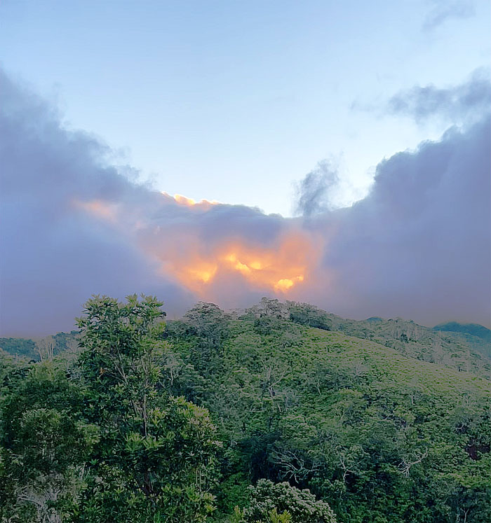
Scott who had started earlier to catch the sunrise, saw the clouds fighting the sun and the clouds won.
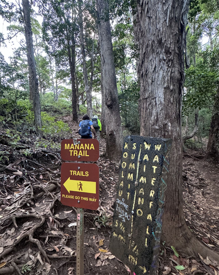
Manana Trail
Taking the higher trail.
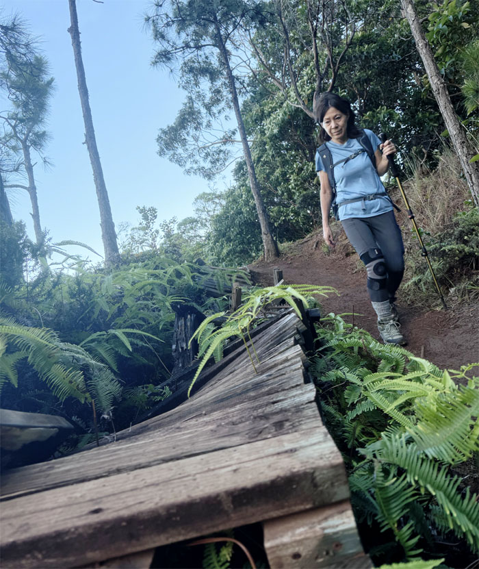
Manana Trail
Passing the makeshift bike ramp that was in serious need of repairs.
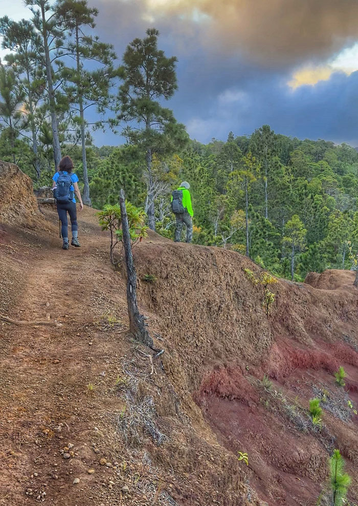
Manana Trail
Crossing the eroded section.
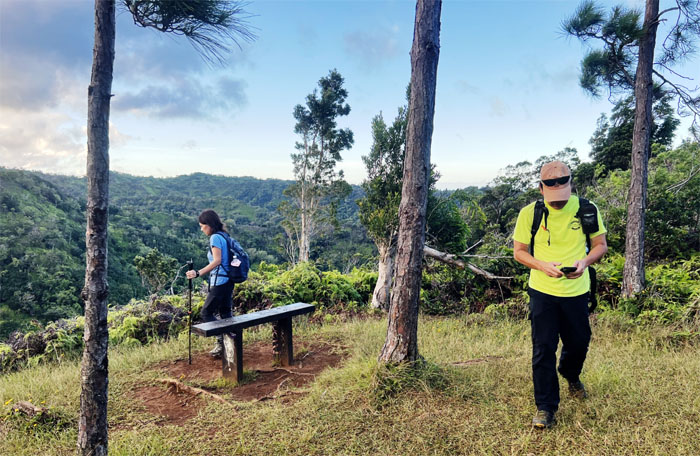
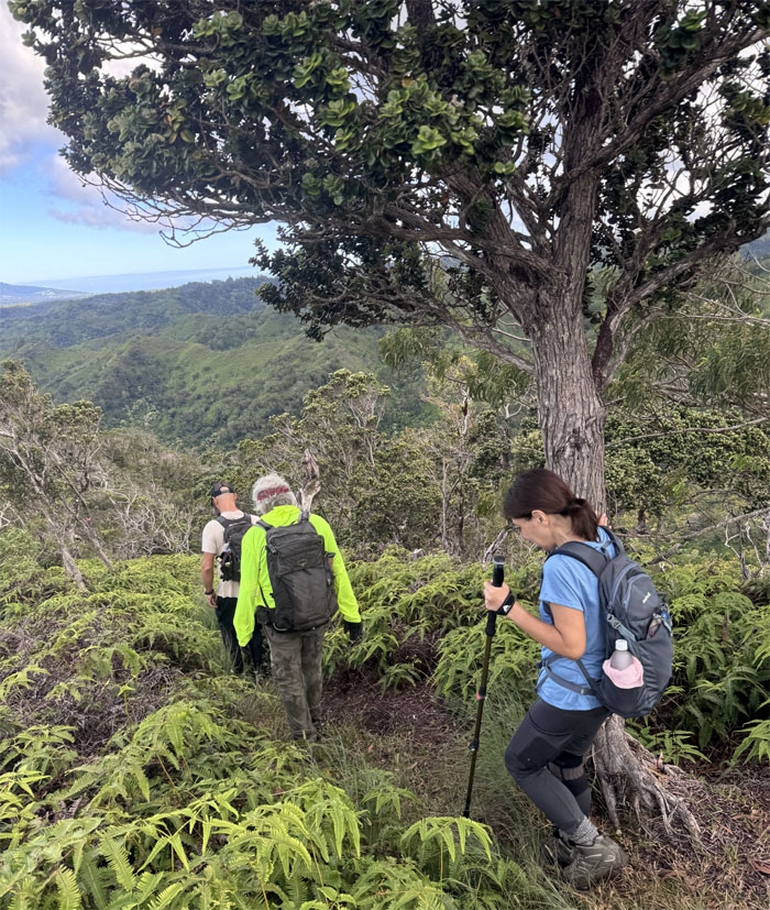
Manana Trail
Leaving the bench with a view of the Ko’olau Mountain Range.
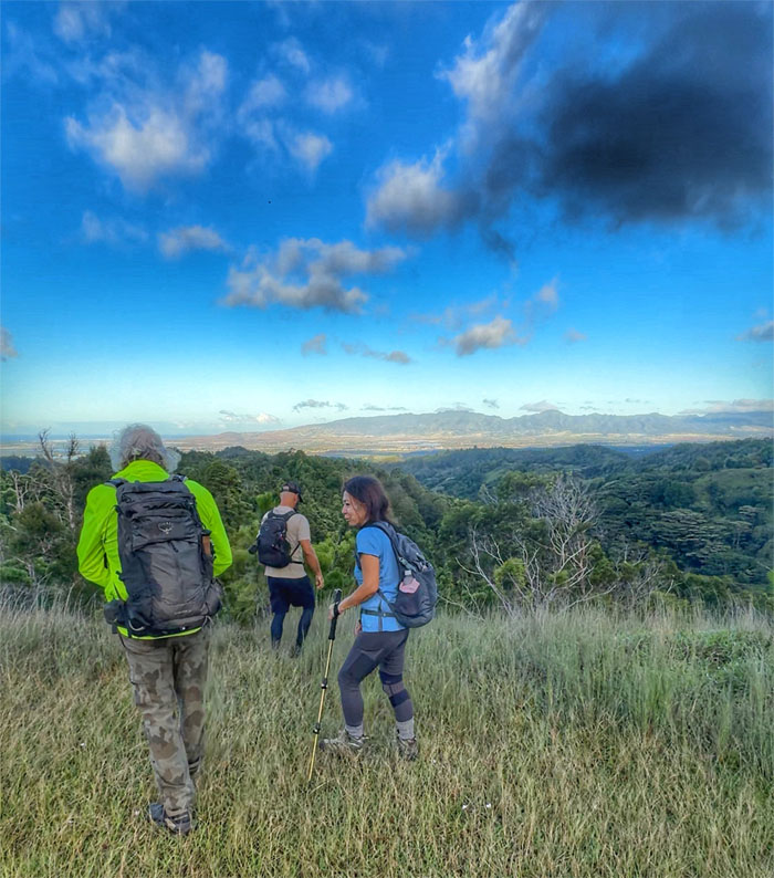
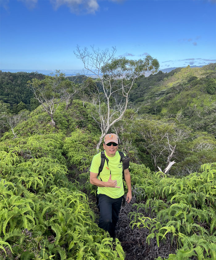
“Iliahi Trail
Met up with Scott at the grassy hill and descended down the trail that was pioneered by the Hawaiian Trail and Mountain Club back nearly two decades ago.
“Iliahi Trail
Descending down the steep and rooted trail.
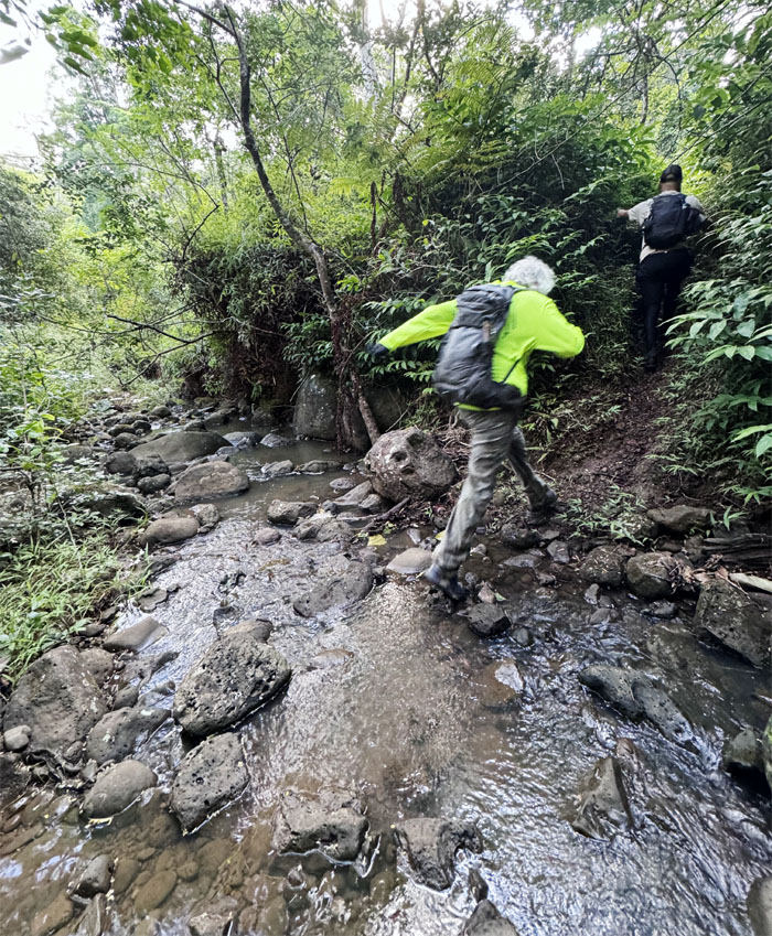
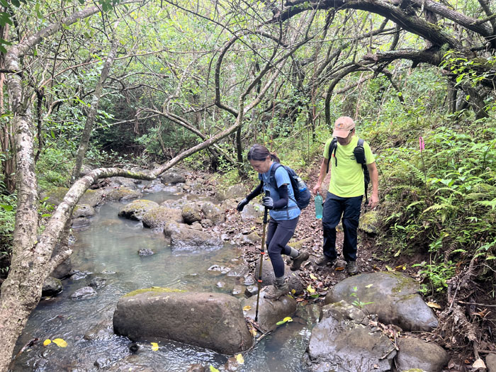
Manana Stream
The first crossing of the waterway that feeds into Waiawa Stream.
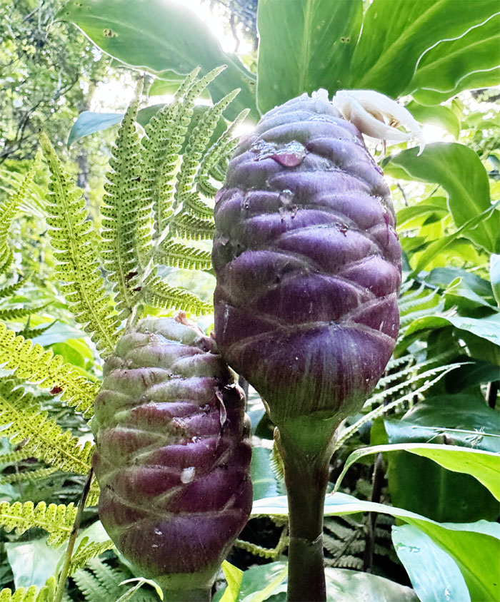
Awapuhi Kuahiwi
Passed through a patch of ginger plants that originated in India and has now been commercialized by Paul Mitchell.
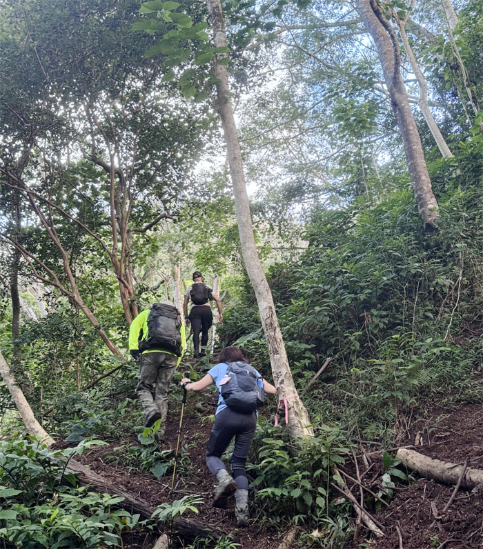
‘Iliahi Trail
Climbing out of the gulch.
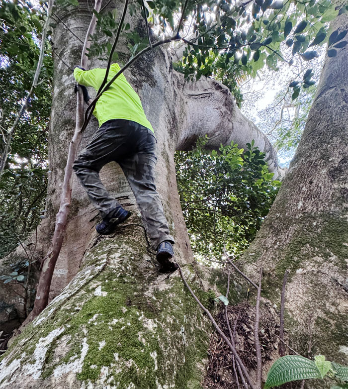
‘Iliahi Trail
A tree too far and too big.
‘Iliahi Trail
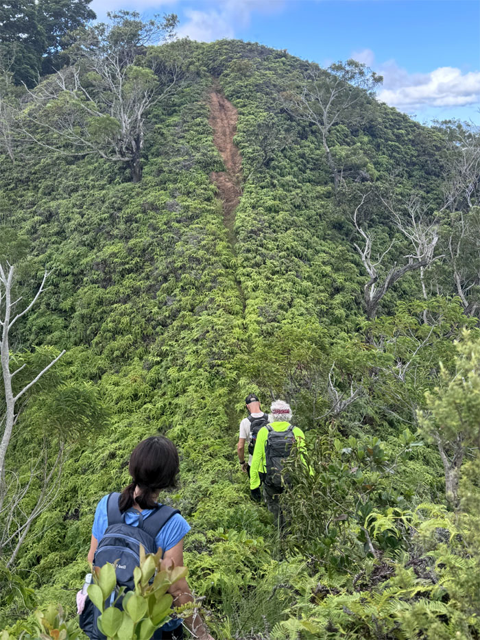
Coming up the trail through the corridor of uluhe ferns. Other hikers have described this trail as extremely overgrown and not very interesting. Some would disagree.
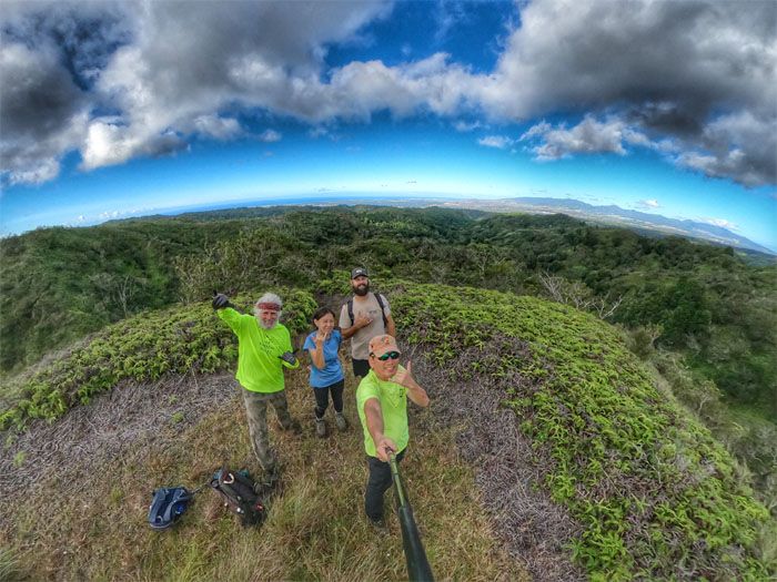
‘Iliahi Trail
Group photo as we crested the top of the ridge line.
‘Iliahi Trail
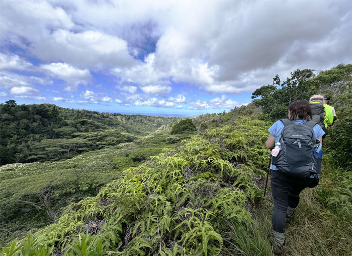
Following the ridge line as it made its way down.
‘Iliahi Trail
Standing near what I think are ‘ilahi (sandalwood) trees. A botanist I am not. The forests of the islands were once abundant with these fragrant trees. In the early 1800’s, Hawaiian royalty developed a taste for foreign goods and paid for them with the sandalwood trees. Soon, the hills were stripped of the woods to pay for their expensive tastes. Who paid the actual price? The commoners. As they were forced to work to the point of exhaustion and their lands were left unattended, which resulted in a decline of the population and the traditional land system.
‘Iliahi Trail
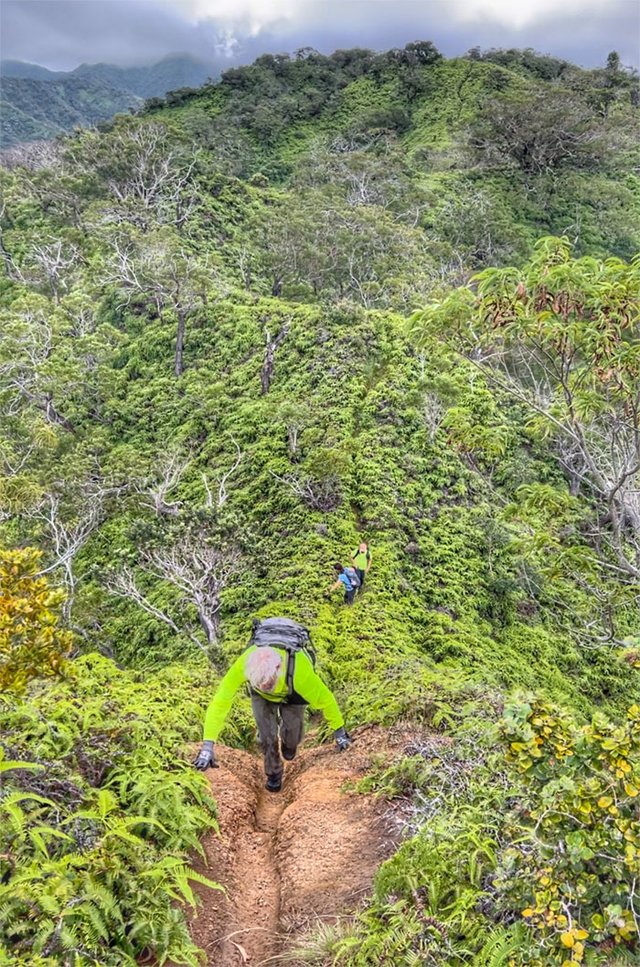
Appearances can be deceiving.
‘Iliahi Trail
Chico proving the hill is not as steep as it looks.
‘Iliahi Trail
Looking down into the valley crowded with invasive albiza trees that was brought to the islands in 1904 for ornamental and reforestation purposes. These fast growing trees are quickly displacing native forests and easily topple over posing damages to man-made infrastructures such as powerlines.
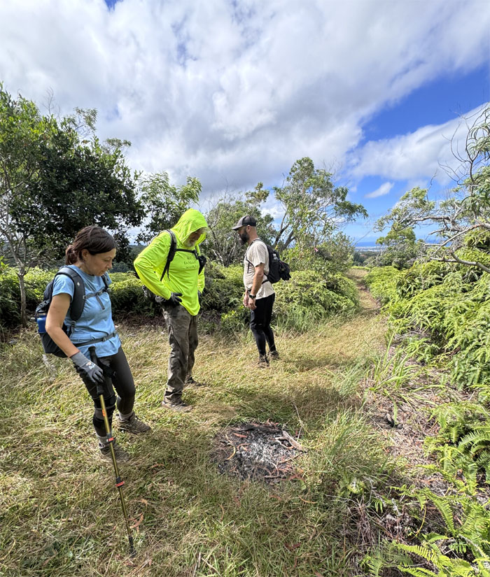
‘Iliahi Trail
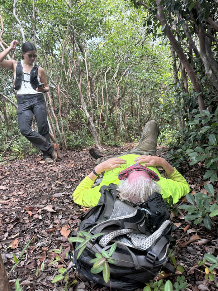
Checking out somebody’s abandoned campsite, campfire and tents. The things that people do. Val soon woke up, ran the trail and caught up to us around this point.
‘Iliahi Trail
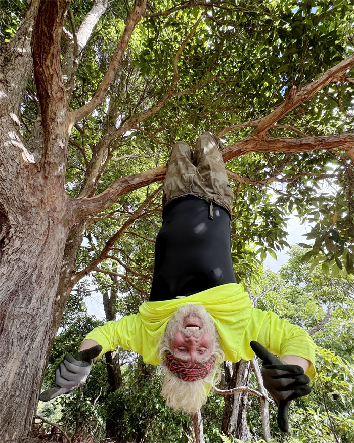
Hanging upside down. The things that people do.
‘Iliahi Trail
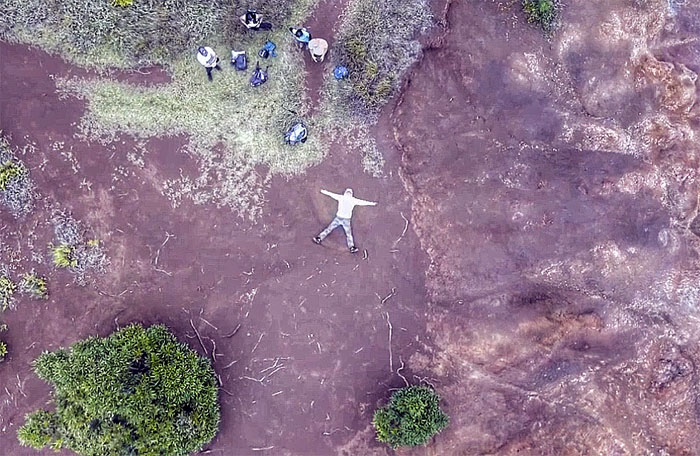
Chico leaving his temporary mark on the trail by forming a dirt angel.
‘Iliahi Trail
Going down the eroded section of the hill.
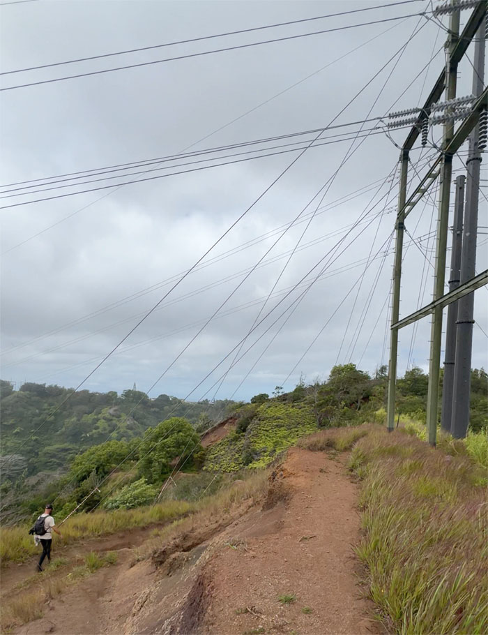
‘Iliahi Trail
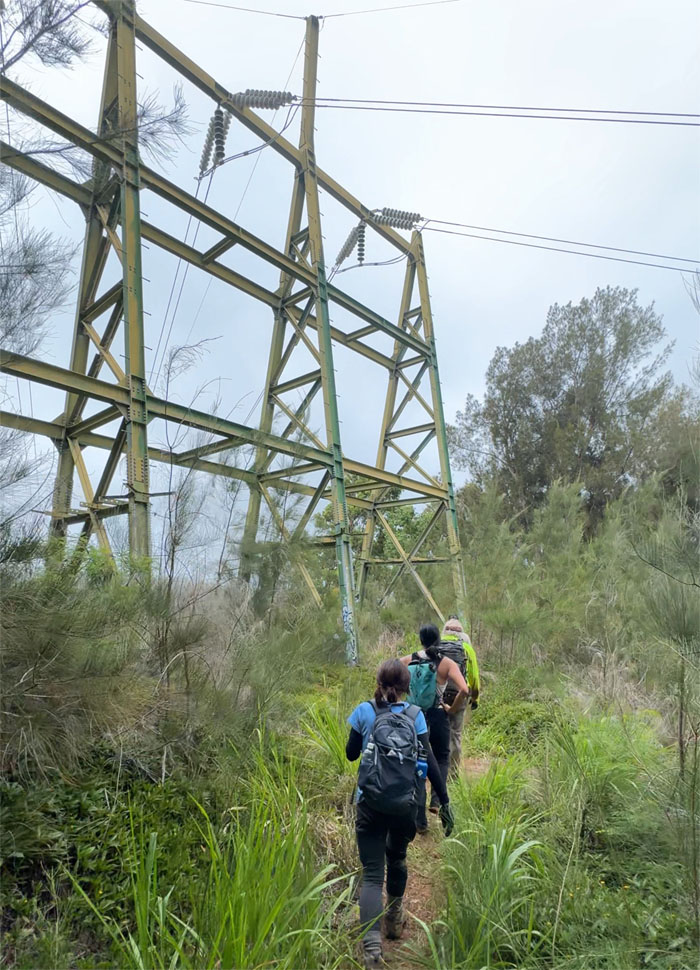
Scott passing one of the powerline towers in the area.
‘Iliahi Trail
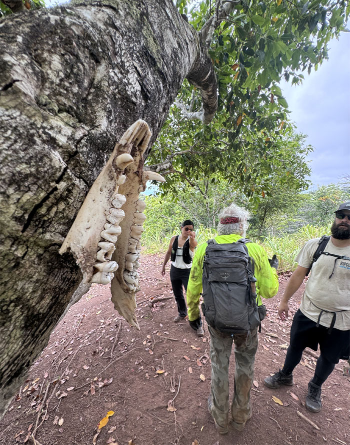
Hanging goat jawbone tacked to a tree. Where are the horns?
‘Iliahi Trail
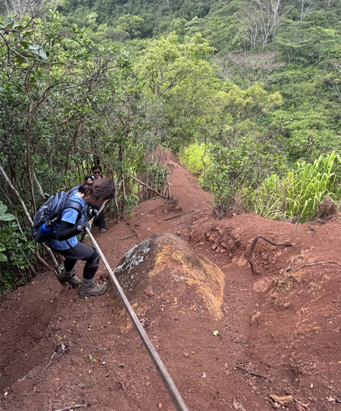
Mari descending down to the gulch.
Manana Stream
Last stream crossing of the day.
‘Iliahi Trail
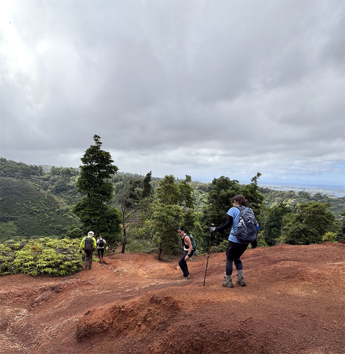
The group pushing up the final hill.
‘Iliahi Trail
Somebody was exhausted.
‘Iliahi Trail
Passing through the second powerline towers as we met up back on the main trail and other hikers streaming to Waimano Falls.
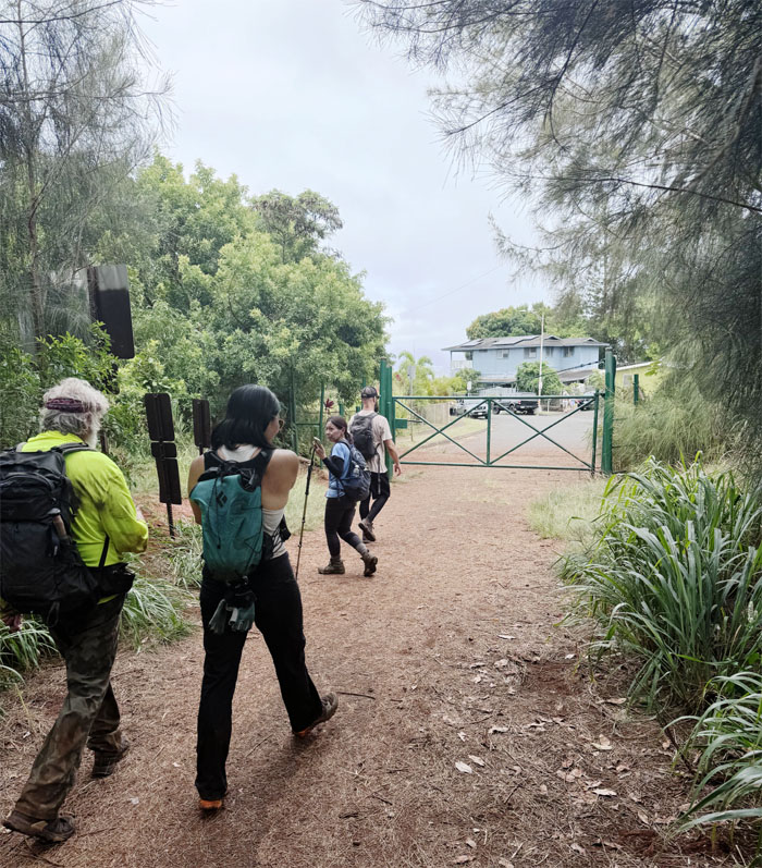
All pau
Exiting the trail and back to our cars. Where are we eating?
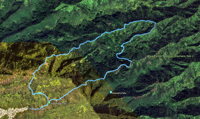
GPS Tracks
Our loop trail hike covered 5.83 miles with a fun group. Post hike meal at Anna Millers. Not all pies are served sliced.
Photos taken by Chico Cantu, Mari Saito, Scott Peterson, Val Wang and yours truly. Not necessarily in order.
Note: I have been made aware that some hikers have been using my blog as a hiking guide and getting lost on the trails. Please note that this blog was made to document the hike for the crew(s) that did it. That is why some of my comments will seem to have no relevance or meaning to anybody outside of the crew(s) that hiked that trail. My blog was never meant as a hiking guide, so please do not treat it as such. If you find inspiration and entertainment from these hikes, that is more than enough. If you plan on replicating these hikes, do so in the knowledge that you should do your own research accordingly as trail conditions, access, legalities and so forth are constantly in flux. What was current today is most likely yesterdays news. Please be prepared to accept any risks and responsibilities on your own as you should know your own limitations, experience and abilities before you even set foot on a trail, as even the “simplest” or “easiest” of trails can present potential pitfalls for even the most “experienced” hikers. One should also always let somebody know of your hiking plans in case something doesn’t go as planned, better safe than sorry.
{ 0 comments… add one now }