It was time to embark on our four day adventure on the historic trail that dates back to the 1400s.
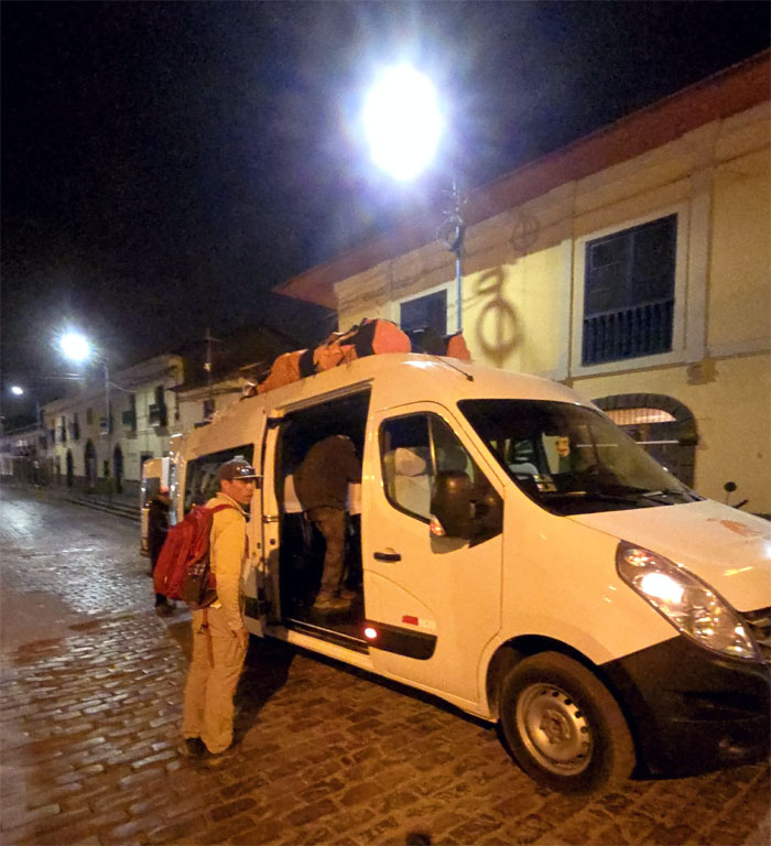
We got up before the barking dogs, beeping horns and street vendors to be picked up by Jose where we also picked up a couple from Holland and a pharmacist from Argentina along the way.
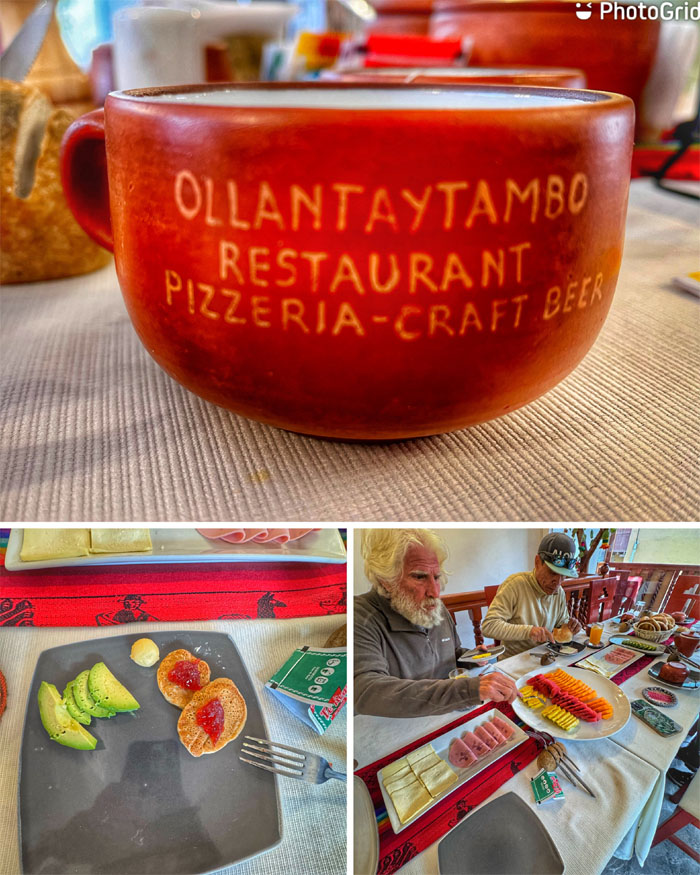
Stopped in the town that used to be Emperor Pachacuti’s royal estate and is home to some of the oldest continuously occupied dwellings in South America where we also had our breakfast as we got acquainted with Tim, Evy, and Amelia who would be hiking with the group as well.
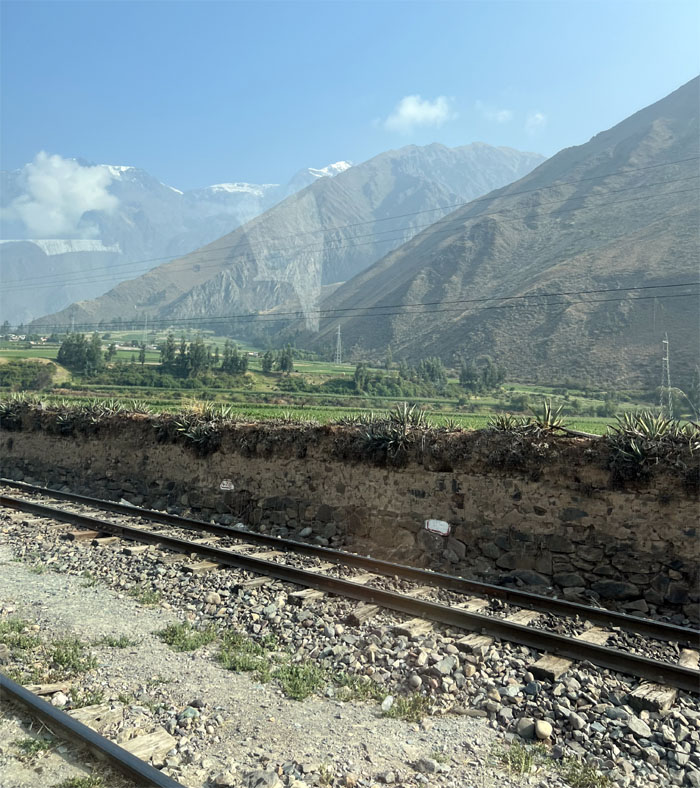
Boarded our ride again and resumed our travel through the countryside.
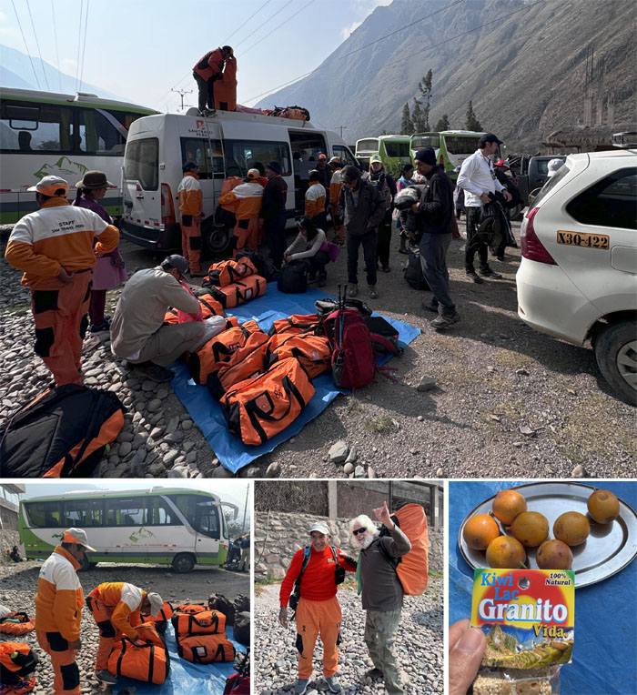
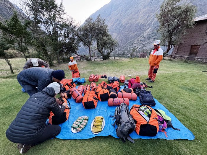
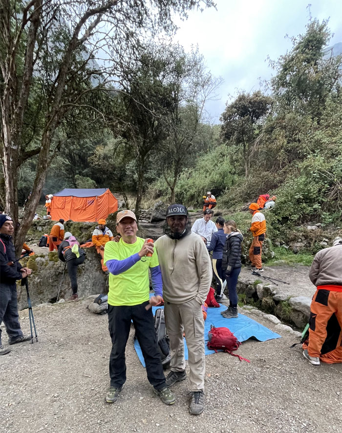
We got off the van in the town of Piscacucho, stuffed our duffel bags up to the 15 lbs. limit and helped ourselves to the oranges and snacks proffered to us on the blue mat as we joined the bustling groups that were all getting ready for the hike.
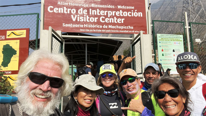
Group photo in front of the gated checkpoint. The Peruvian government only allows 200 hikers on the trail per day due to erosion and economic factors.
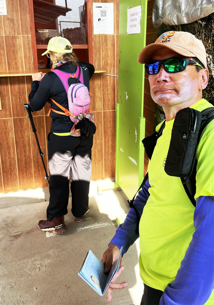
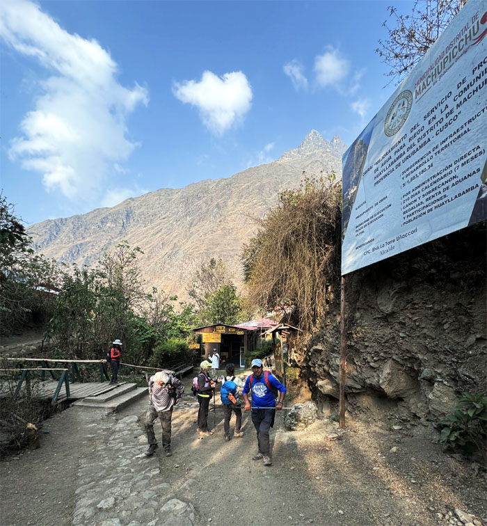
Passing through the first checkpoint with slathered sunscreen and passport.
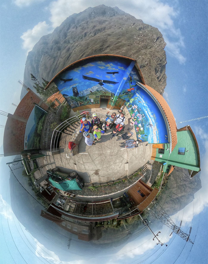
Group photo in front of the visitor center.
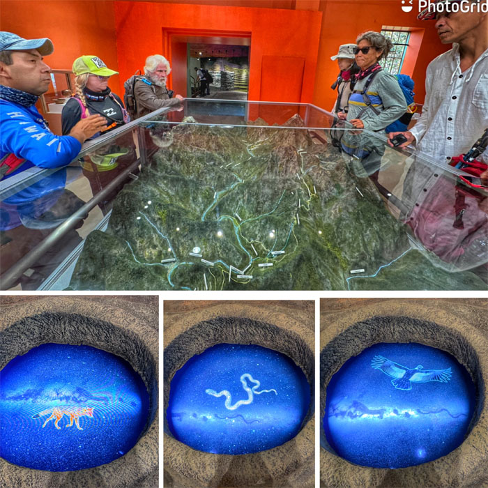
Walking through the center where we saw topographical mockups of the Inca trail, informative videos and a stuffed Andean or spectacled bear, sadly we would not get to actually see one in real life.
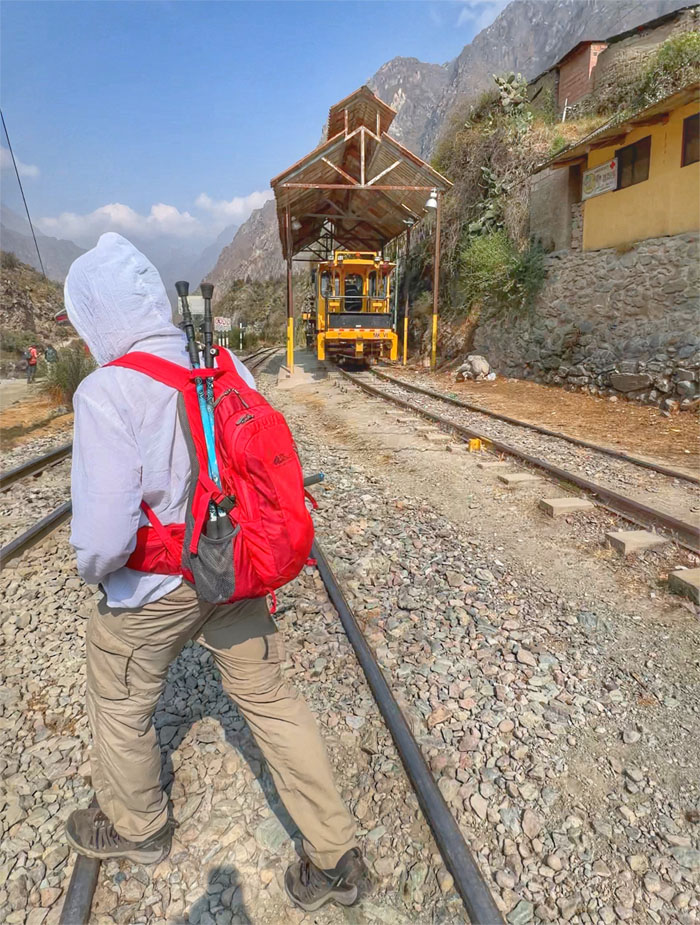
Matt crossing the railroad tracks to get to our official starting point.
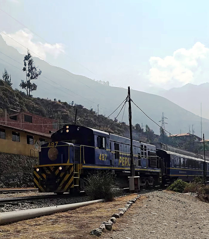
Keeping clear of one of the trains of the railway operator that was founded in 1999.
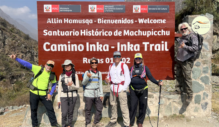
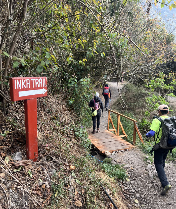
Group photo at the official start of the trail. Here we go!
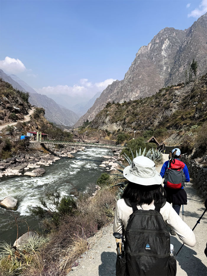
Hiking parallel to the Urubamba River, that was first mapped by Edward Strong and two of his friends in 1934.
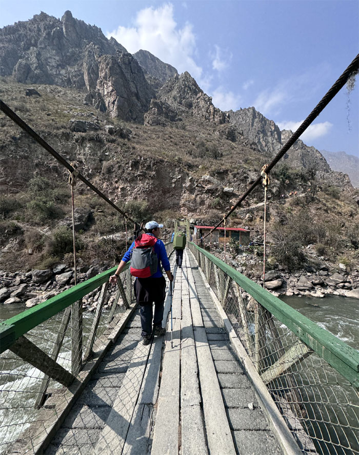
Jose crossing over the suspension bridge.
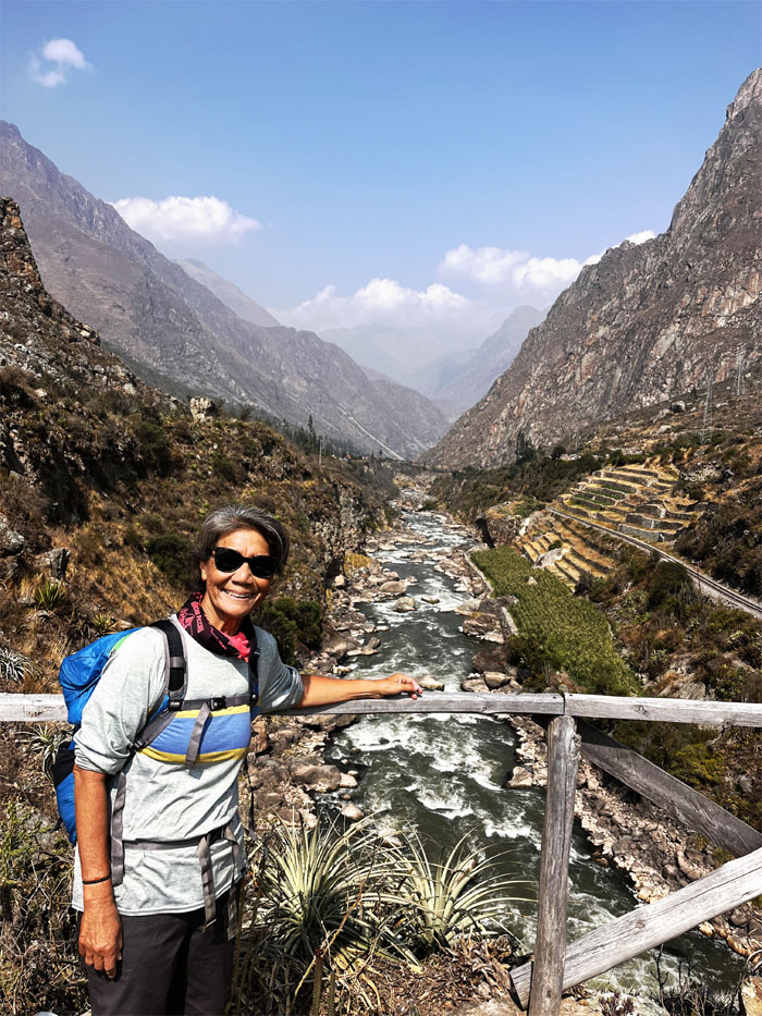
Deborah with the background of the river that originates in the Andes Mountains.
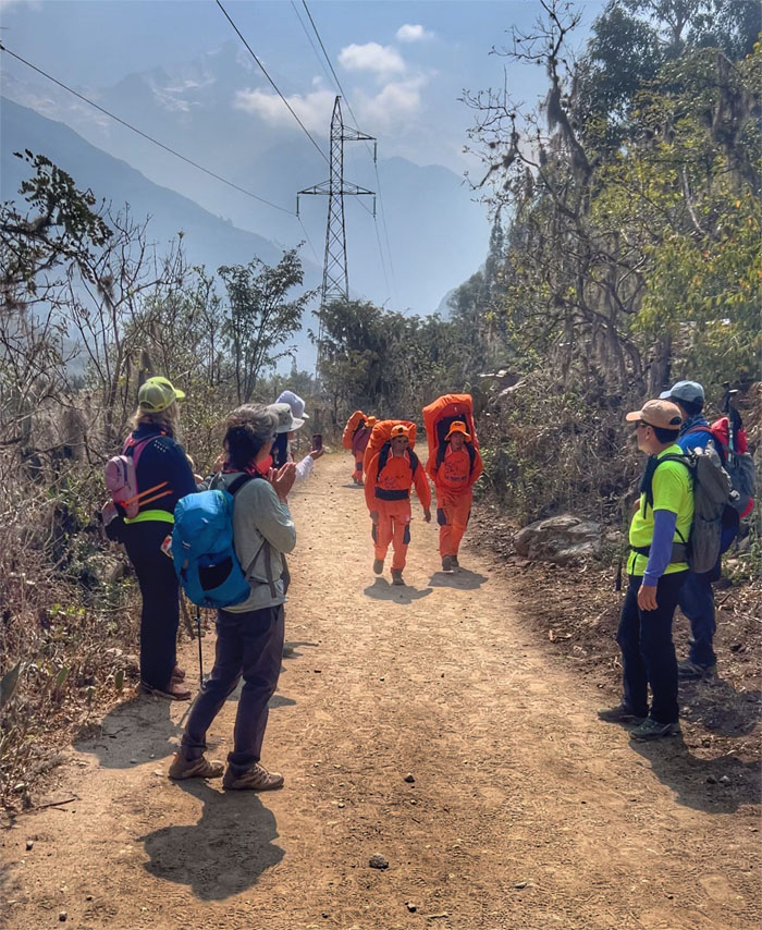
Applauding the porters as they soon caught up to us on the trail. I think we were slowed down by our light daypacks.
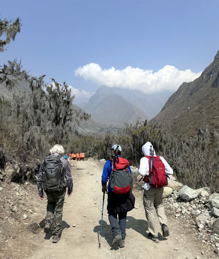
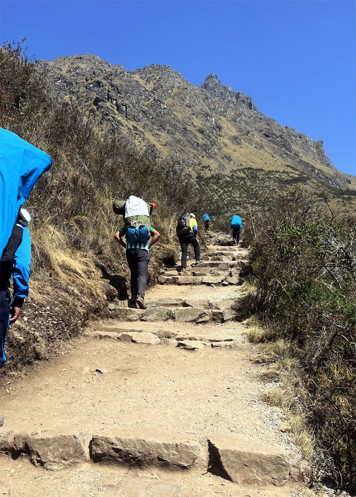
The porters soon left us in their dust, as their approximately 50 lbs. loads gave them extra momentum on the trail.
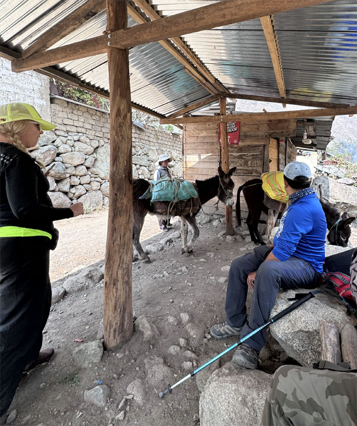
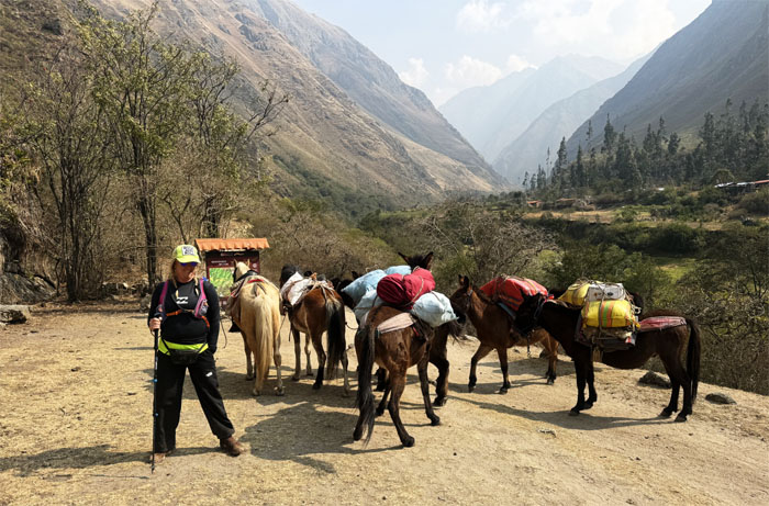
Watching a pack of donkeys make their way down back to their home.
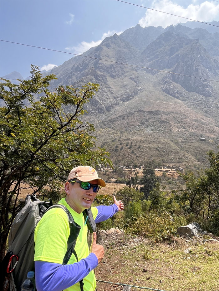
Looking at some Inca ruins in the distance where the train also parallels the trail.
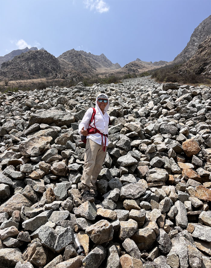
Matt standing on top of the avalanche field that disrupted the trail years back and unfortunately killed a number of people.
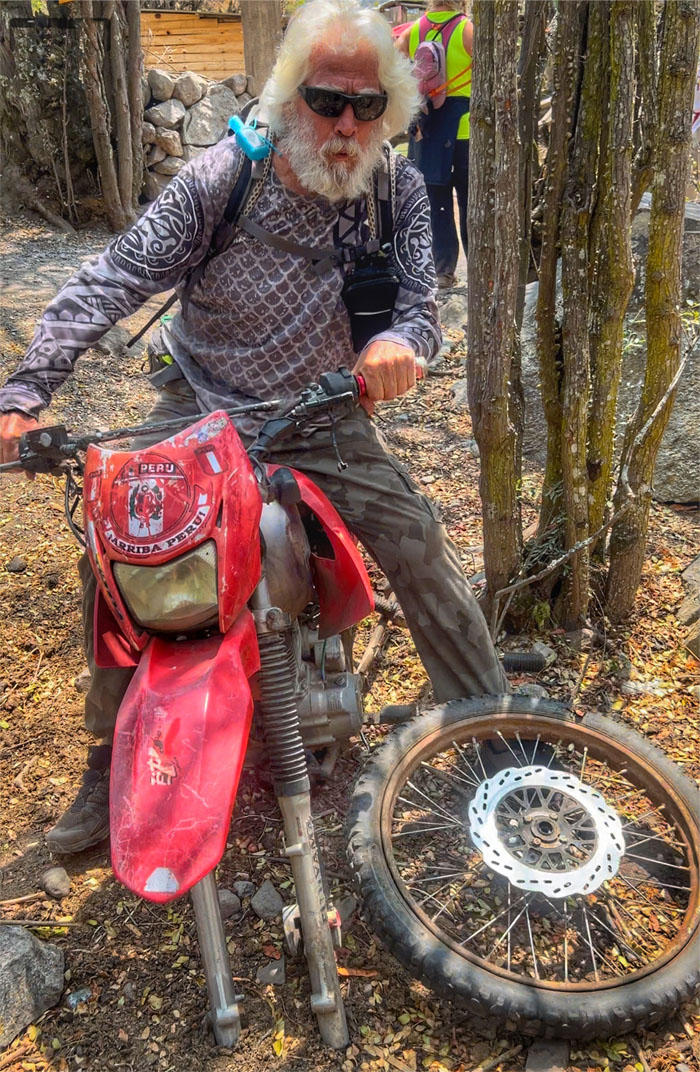
All dressed up and nowhere to go. A front tire would help.
Jean Pierre or JP leading his group over a fenced section of the trail.
Allison pushing up one of a hill, many more to come.
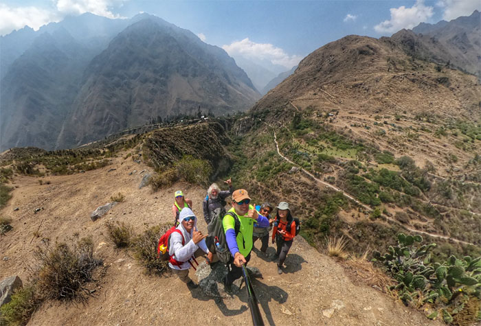
Group photo at a scenic spot.
Allison sampling the local fermented corn drink called chicha, which is what all the porters drank when they took a break. I’ll stick to my Coca-Cola. Thanks.
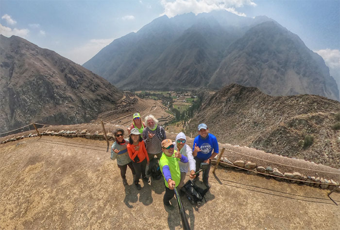
Group photo with the terrace ruins in the background.
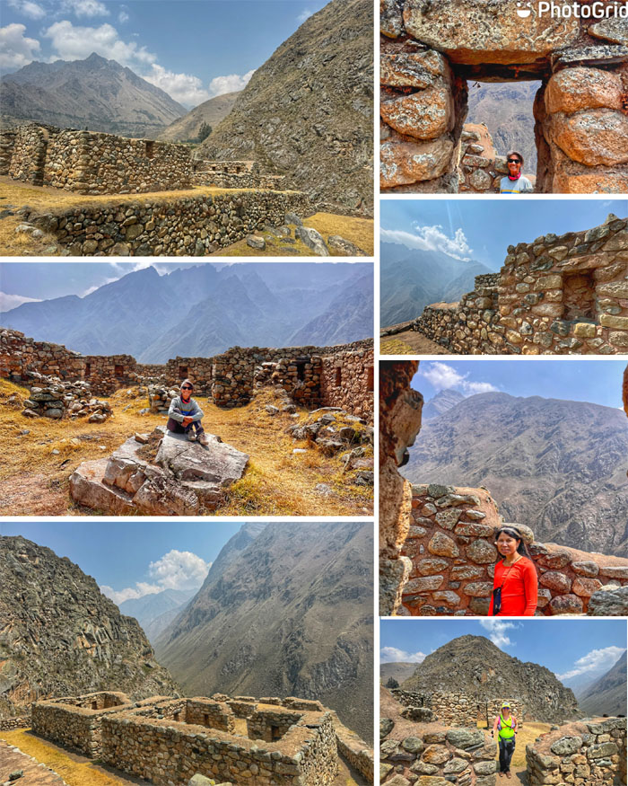
Exploring Inca ruins of a tamba or rest stop for the weary travelers back in the day.
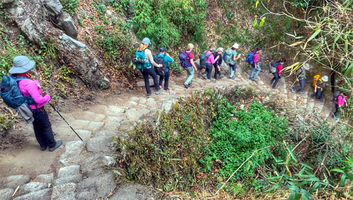
The group spiraling down the switch backs.
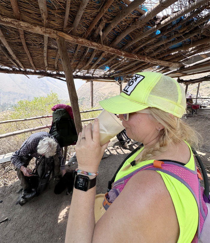
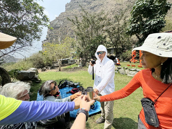
Salud. We toasted with our freshly squeezed juice at our lunch spot.
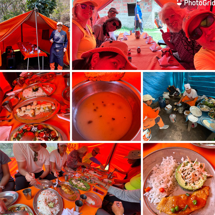
Eating our amazing assortment of lunch dishes.
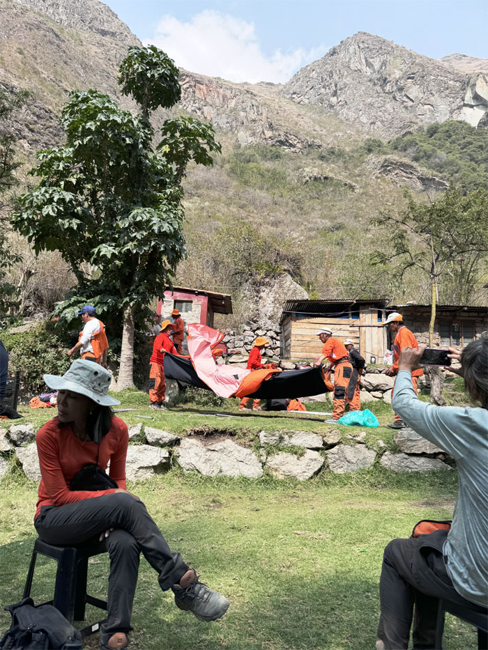
The porters breaking down our lunch site.
How do you say kanak attack in Spanish?
How much for a ride?
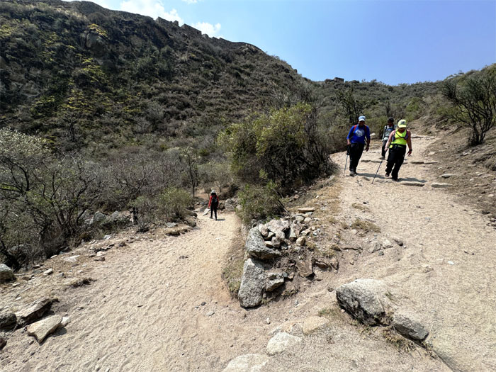
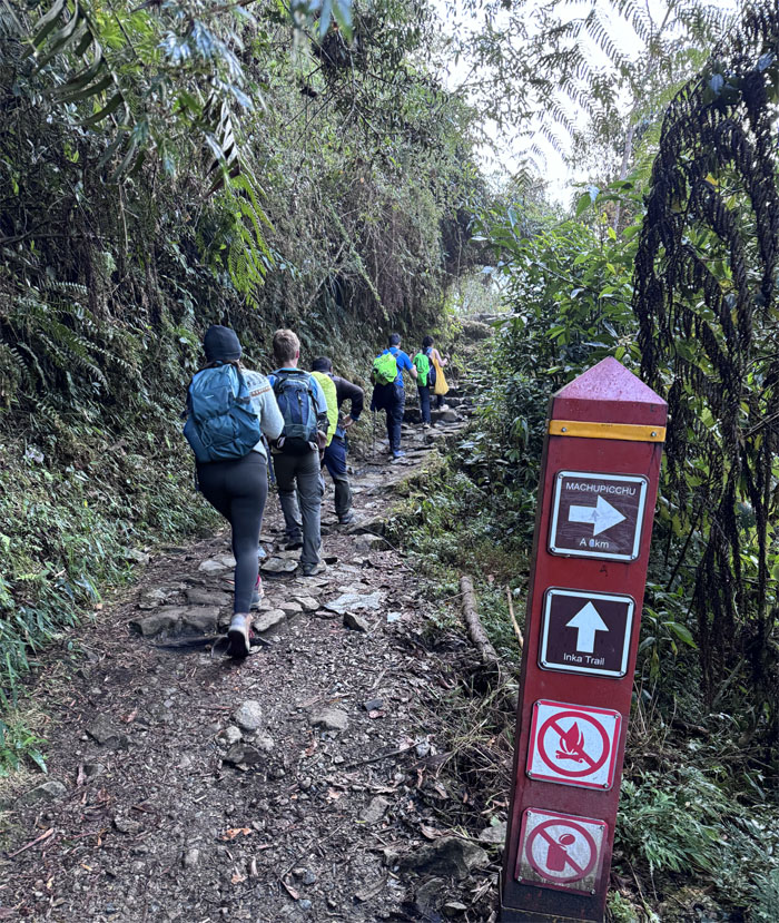
Back on the trail.
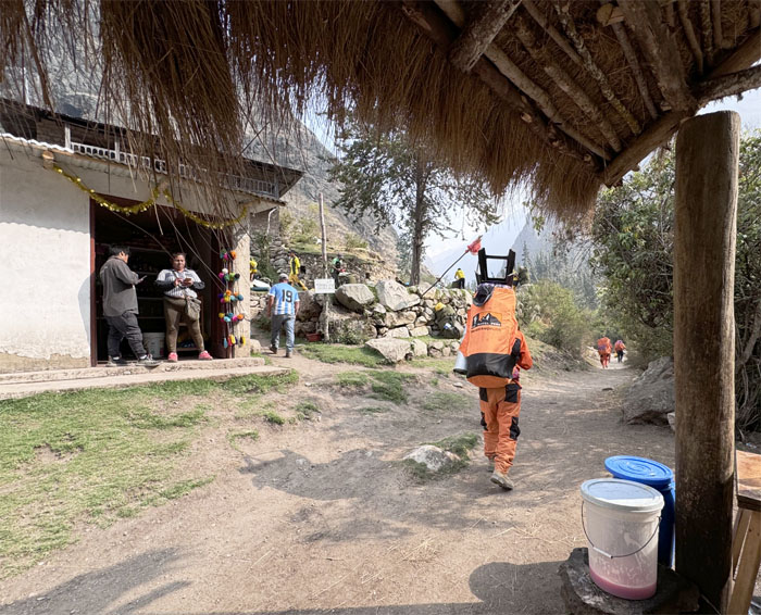
Passing through another local village.
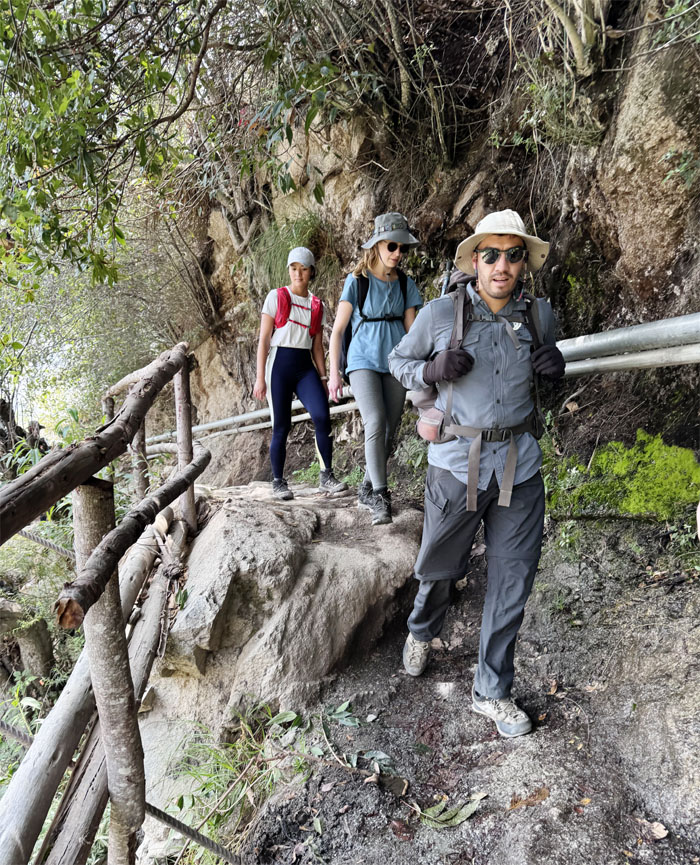
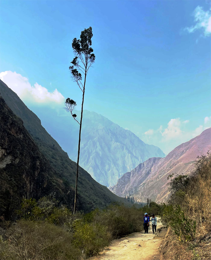
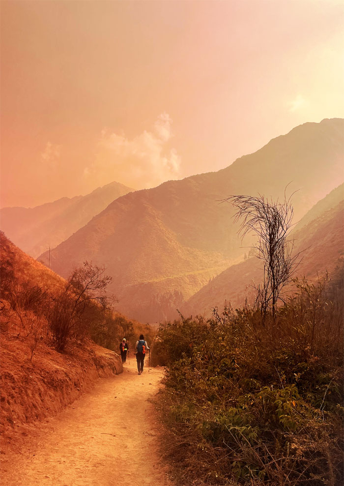
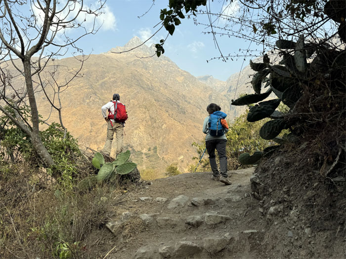
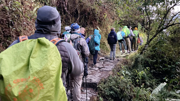
Hiking on the trail that was originally used for religious, military, commerce and communication reasons.
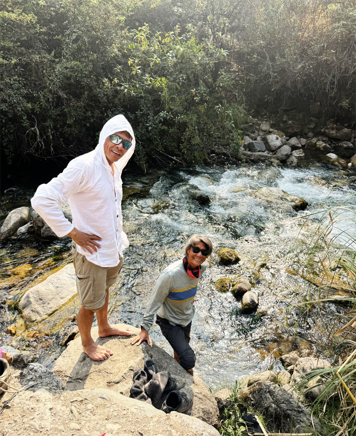
Matt and Deborah decided to soak their barking dogs in the cold stream waters.
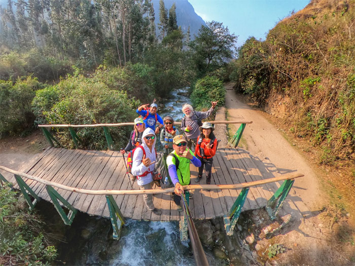
Group photo on the short wooden bridge.
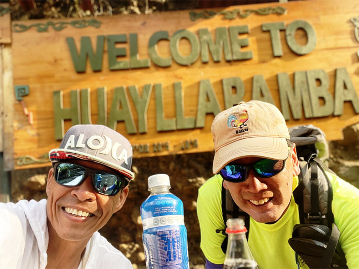
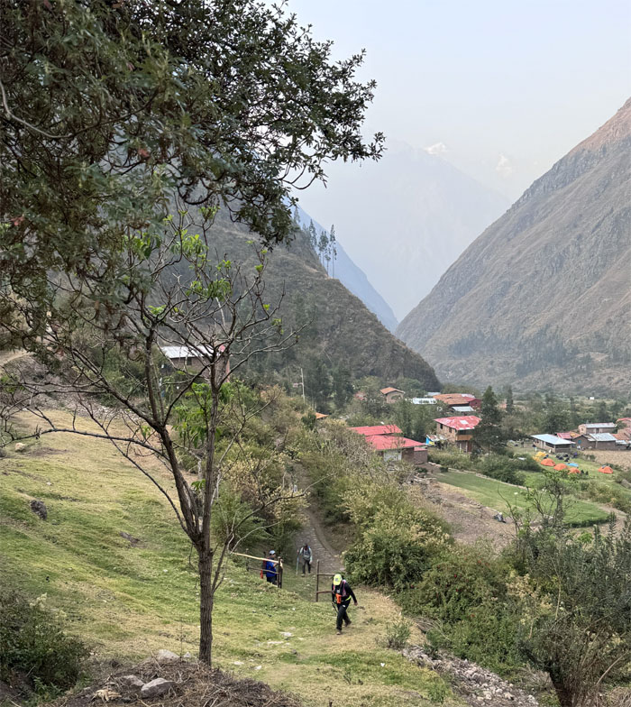
We reached the town that means grassy plain. They also sold limited Wi-Fi and cold drinks.
Climbing up the short hill after the group took a short break.
Matt and Deborah cresting the hill as they soon descended down into the farms and our campsite.
One of the porters making sure we get to the right campsite.
The rest of the group making their way up.
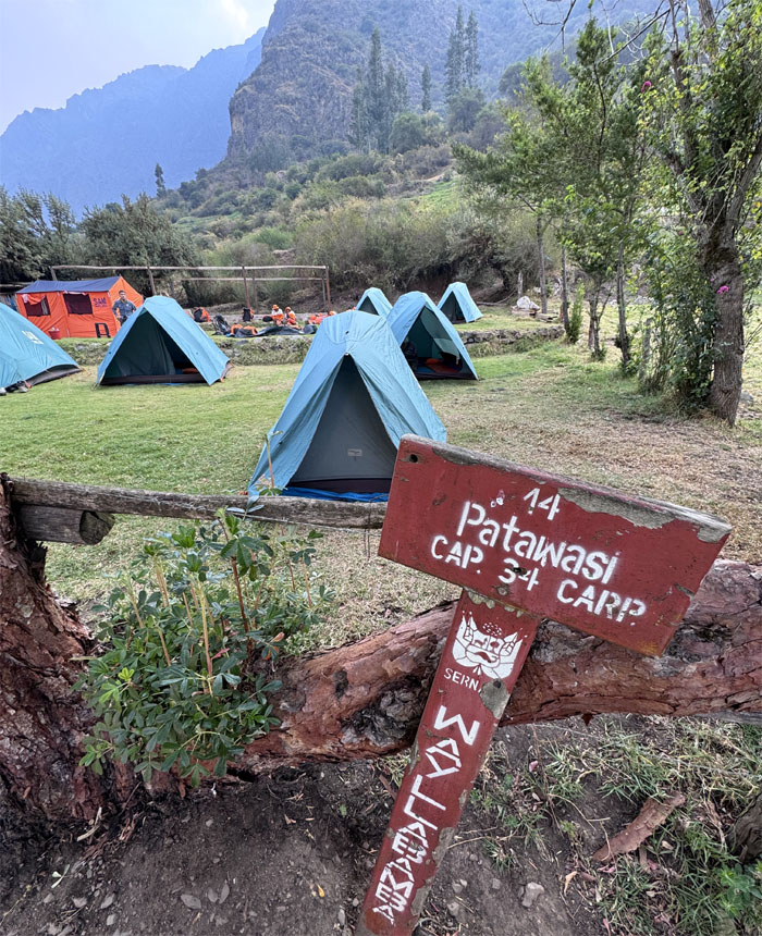
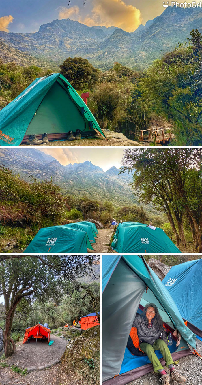
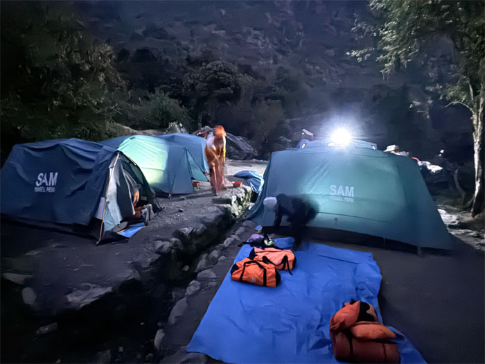
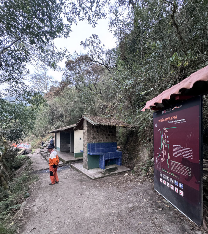
Our home for the night. Hot showers! False advertising.
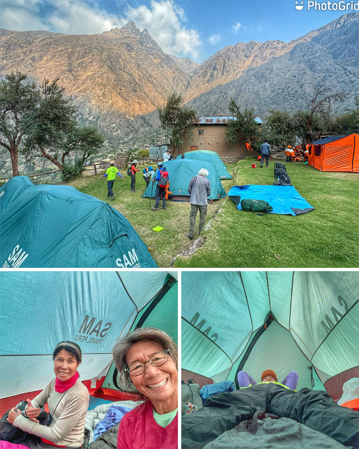
Checking out our campsite, our accommodations rangeed from one to two person tents.
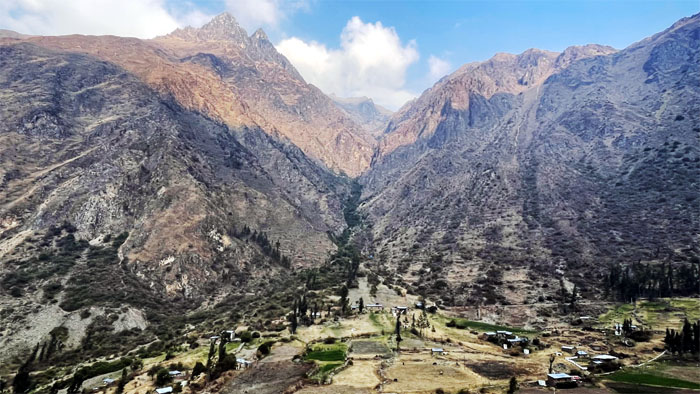
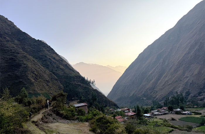
Looking into the quilt of farms underneath the shadow of the Andes Mountains.
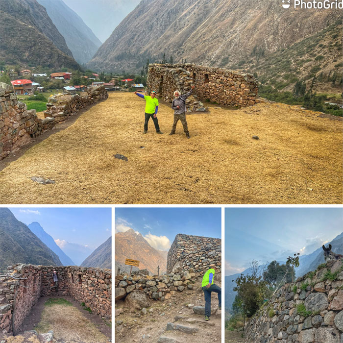
Exploring the nearby ruins.
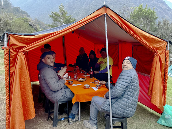
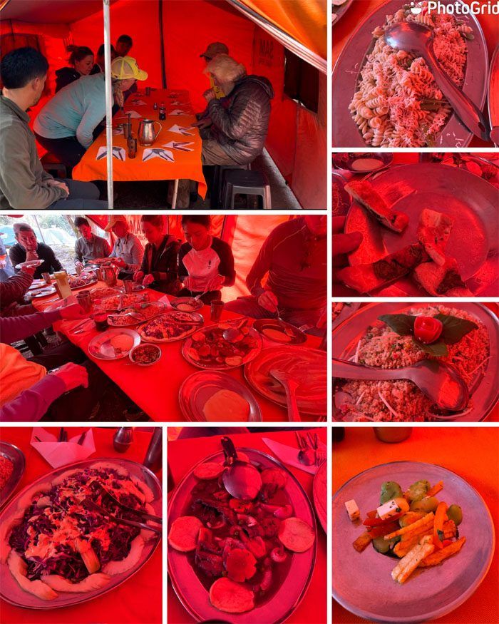
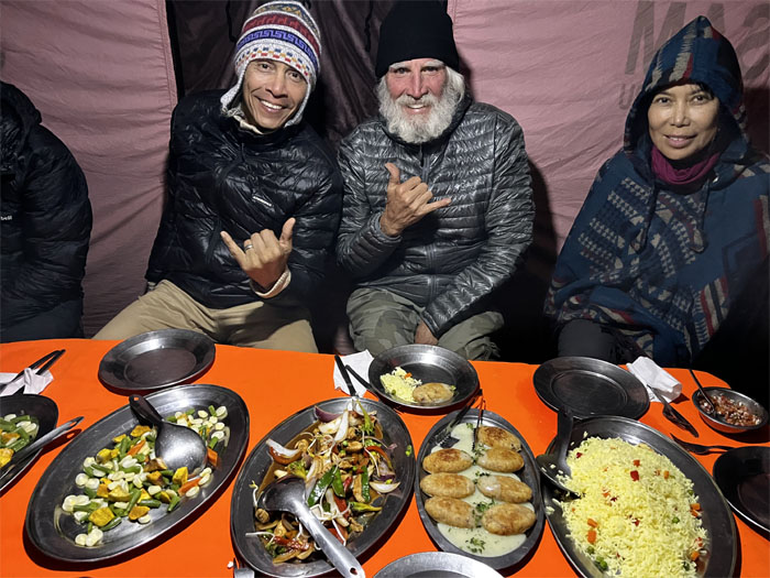
Dinner is served.
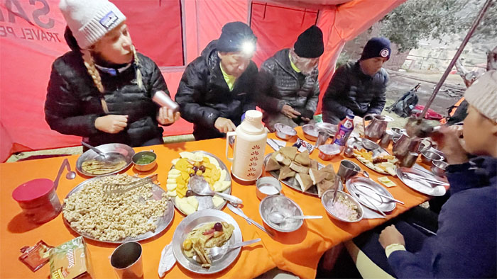
Enjoying the spread of hot and cold dishes.
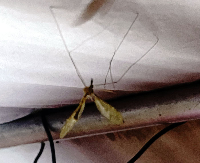
Large mosquitoes kept us company in the meal tent, we were told that the bark was worse than the bite. In other words, they don’t bite. It’s the small ones that get you. Not the big ones.
Day 2
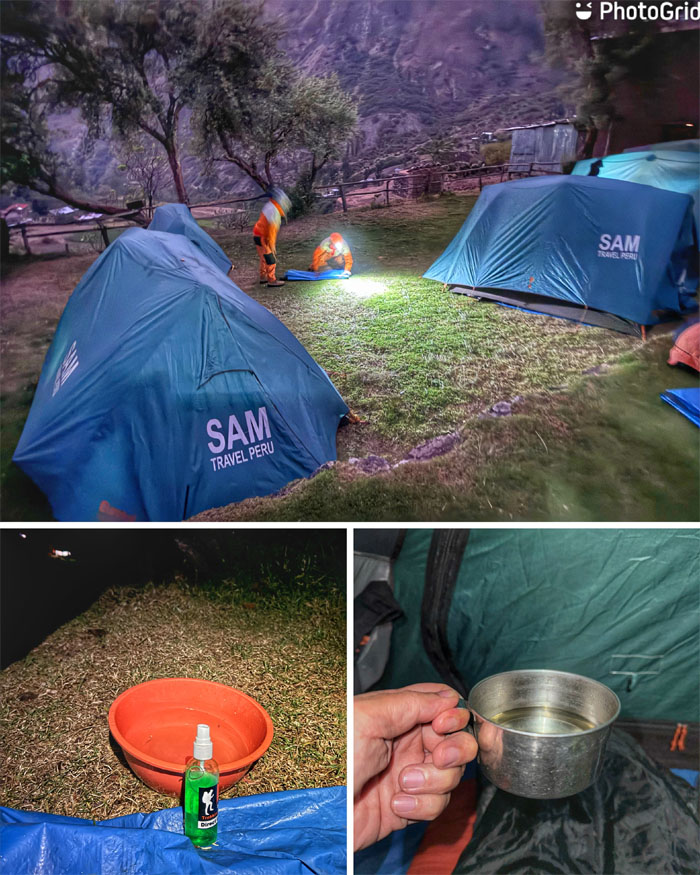
We woke up at 0500 the next morning to a bowl of warm water and soap to wash up. Followed up by a cup of cocoa tea.
Our morning meal was served at 0530.
Breaking down camp where we also had bananas and snacks to take on the trail with us.
Aida and Deborah had left camp an hour earlier than us to get a head start. No hot breakfast for them.
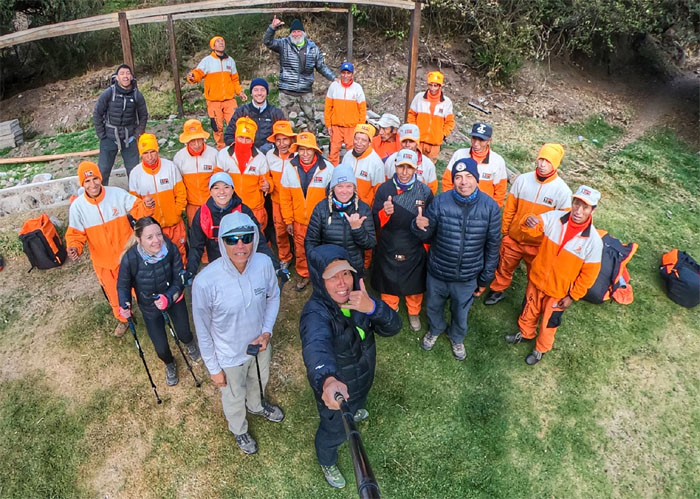
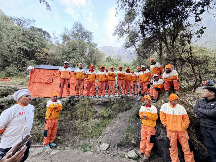
Group photo with the guides and porters before we left the camp.
Making our way out of the village.
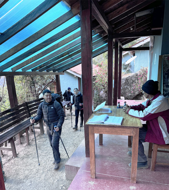
Passing through another local checkpoint.
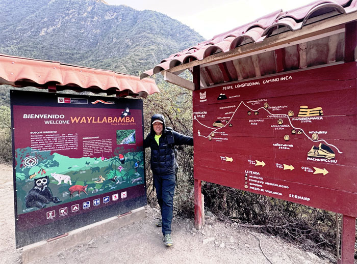
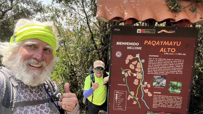
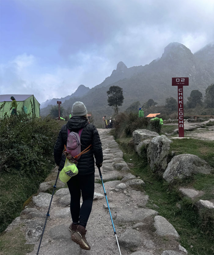
We were at 10,170′ elevation as we passed by some informational signs.
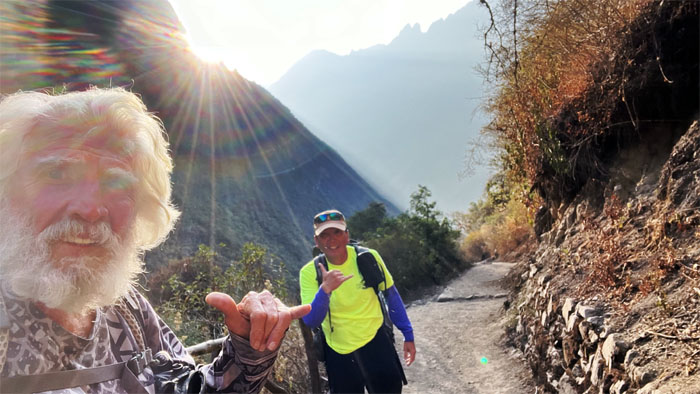
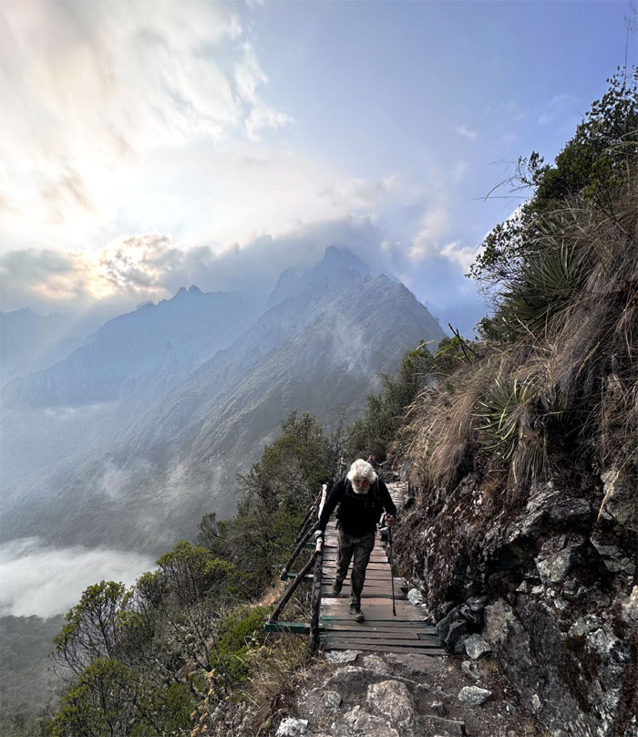
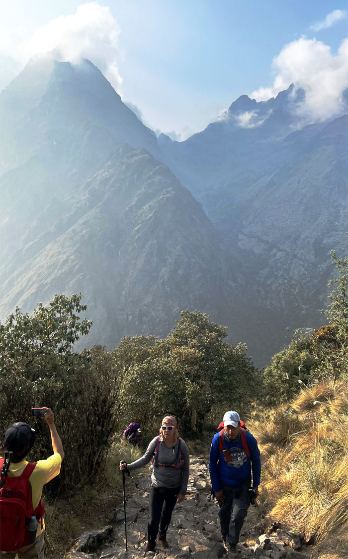
Catching the sunburst over the mountains as we made our way up the trail.
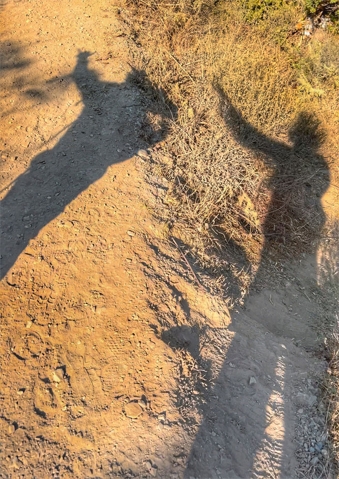
Shadows on the trail.
We were slowly gaining elevation as we passed 10,564′.
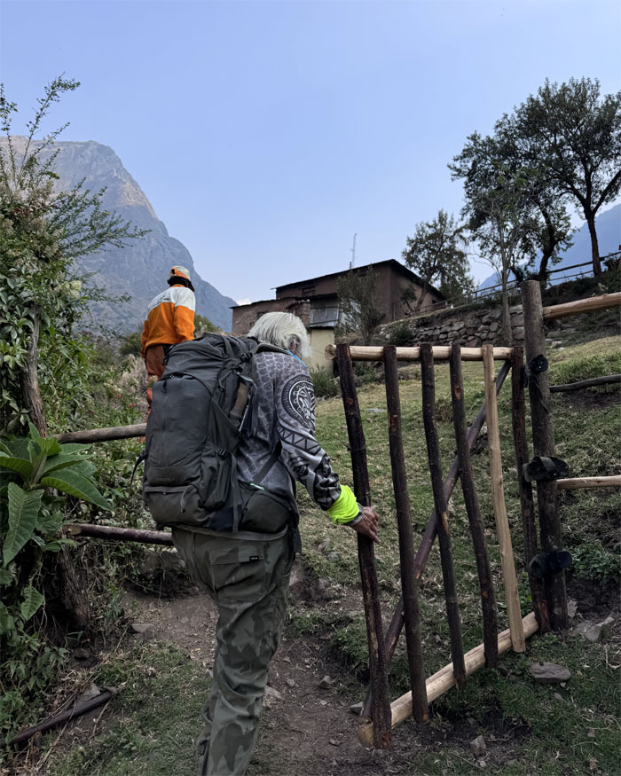
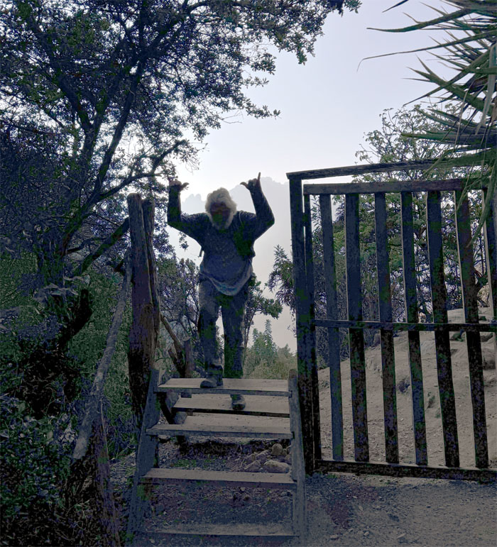
Chico passing through a gate. Wonder what it’s meant to keep out?
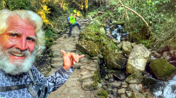
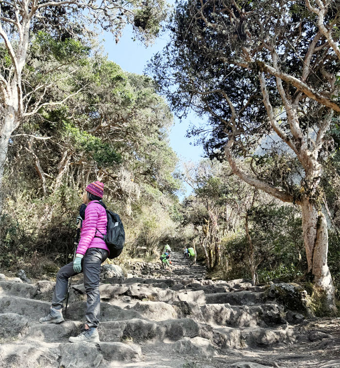
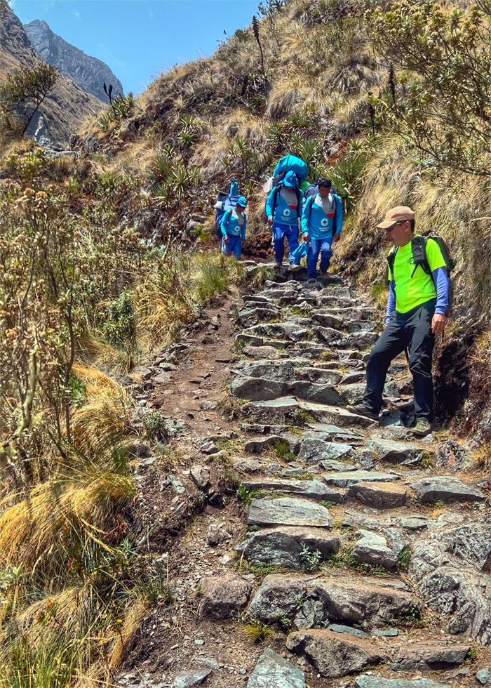
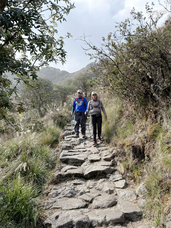
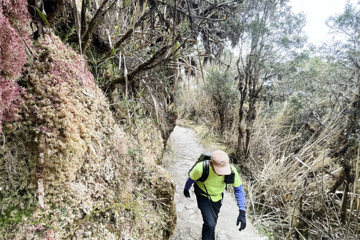
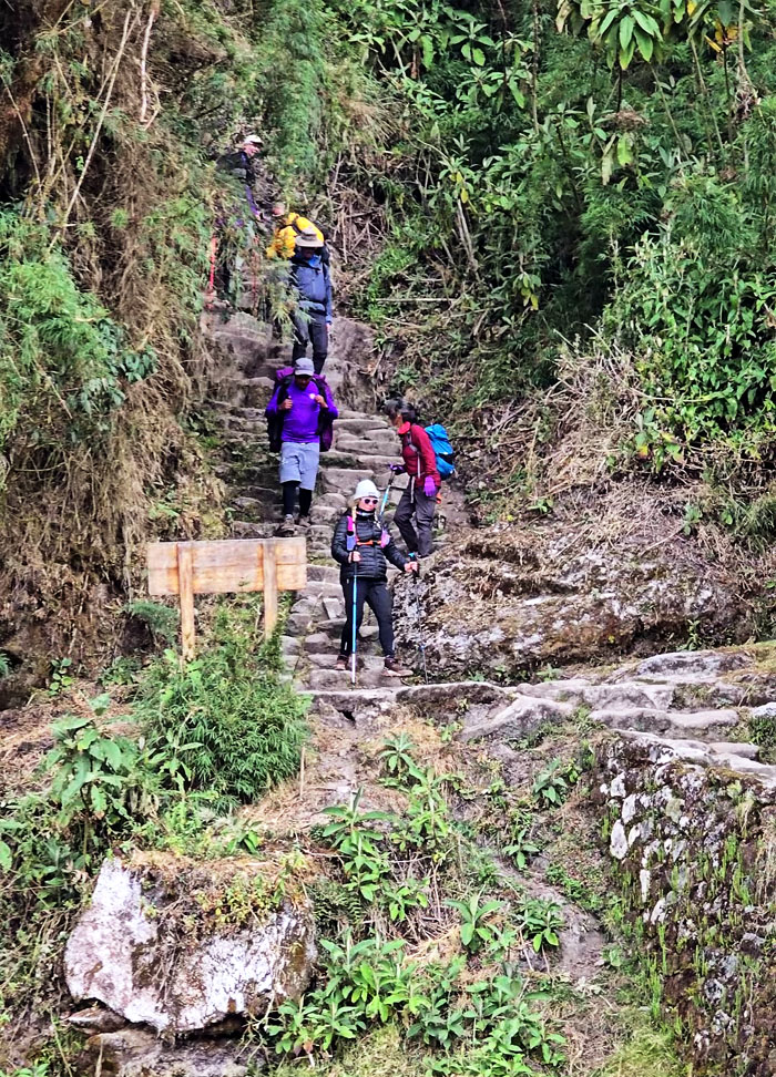
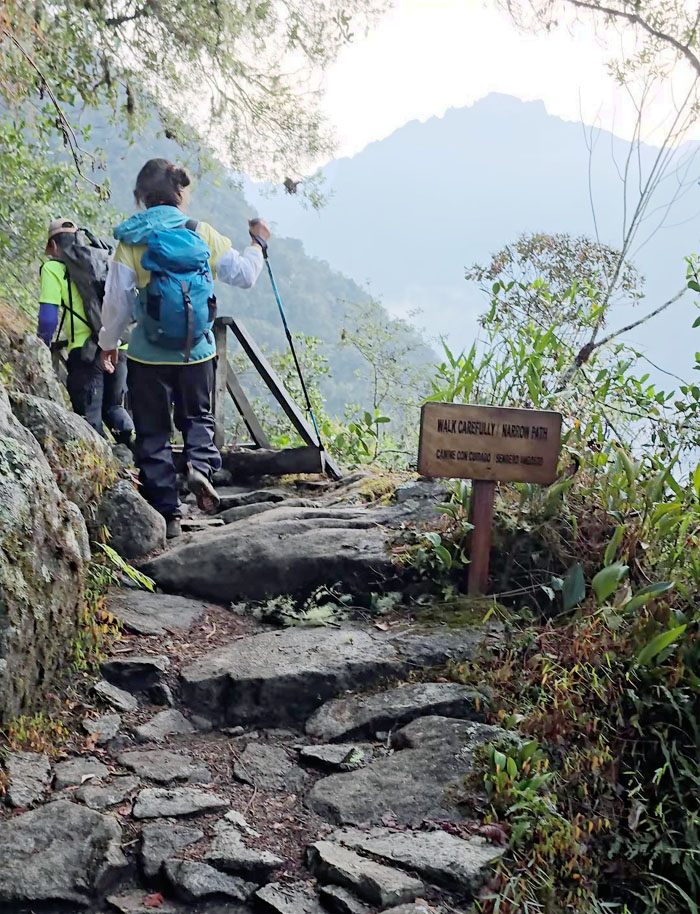
Going up the stepped trail that bordered a stream in a forested area.
We soon caught up with Aida and Deborah on the trail.
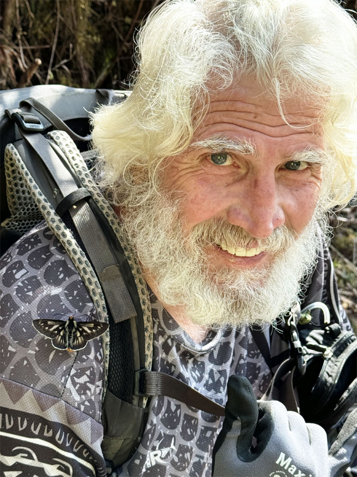
Chico the butterfly whisperer. This particular winged insect landed on Chico and stayed with him for a bit even after he resumed hiking. Guess it was looking for a place to rest before fluttering off.
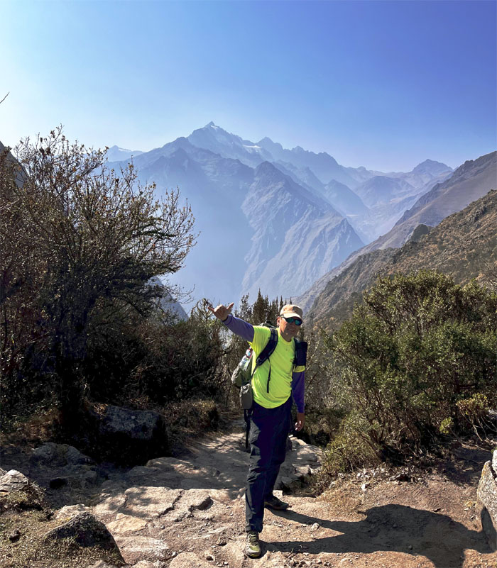
We made it to the top of the hill with the Andes Mountains in the background.
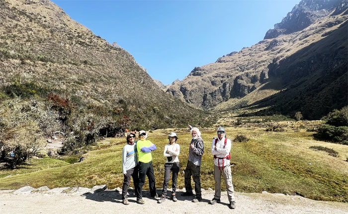
Group photo with Dead Woman’s Pass in the background at 12,336′ elevation. This was the climb that was billed as the hardest day on the trail.
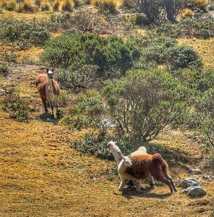
I noticed two llama’s engaged in a sparring match to determine dominance in a farm below. Didn’t stick around to find out who won.
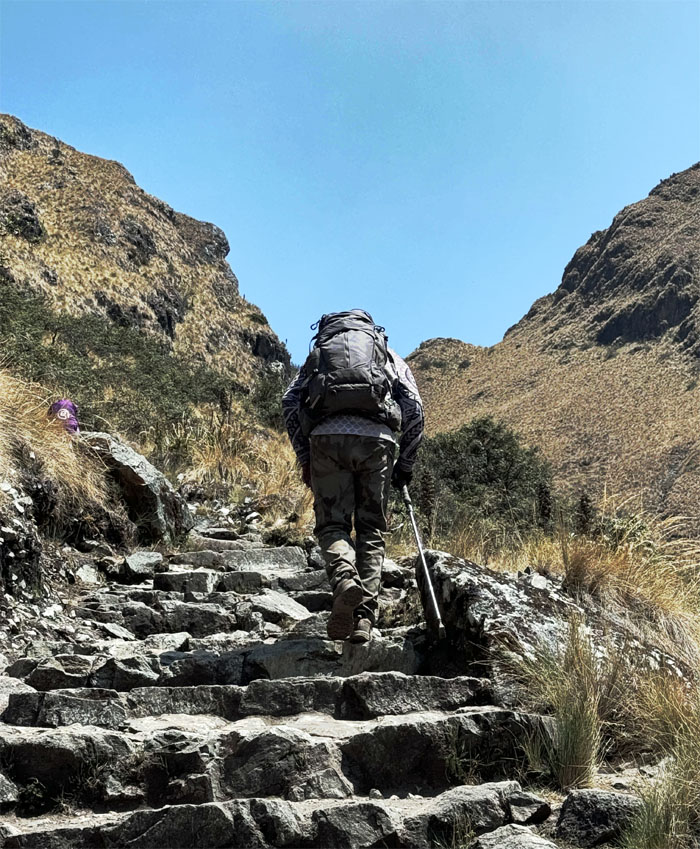
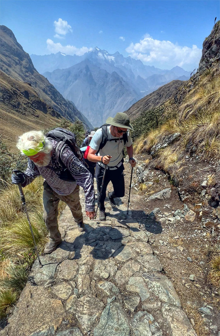
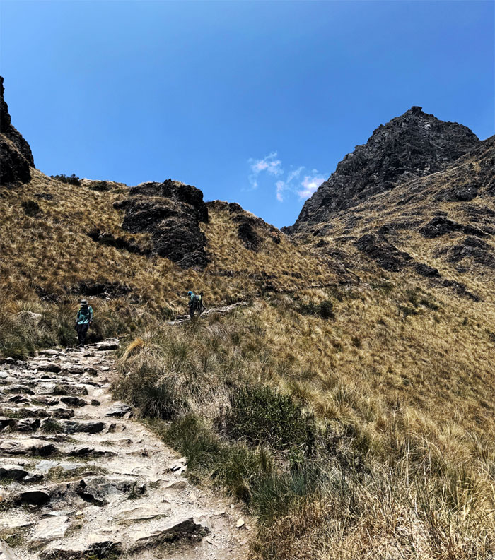
Slow and steady climb to the top as our legs and lungs were burning as the lactic acid in our bodies starting building up due to the climbing exertion.
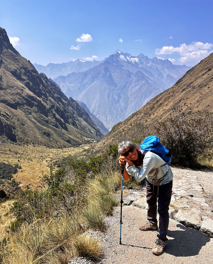
Deborah taking a breather.
Chico leading the pack. Trail tales would be spun about Papa Noelle.
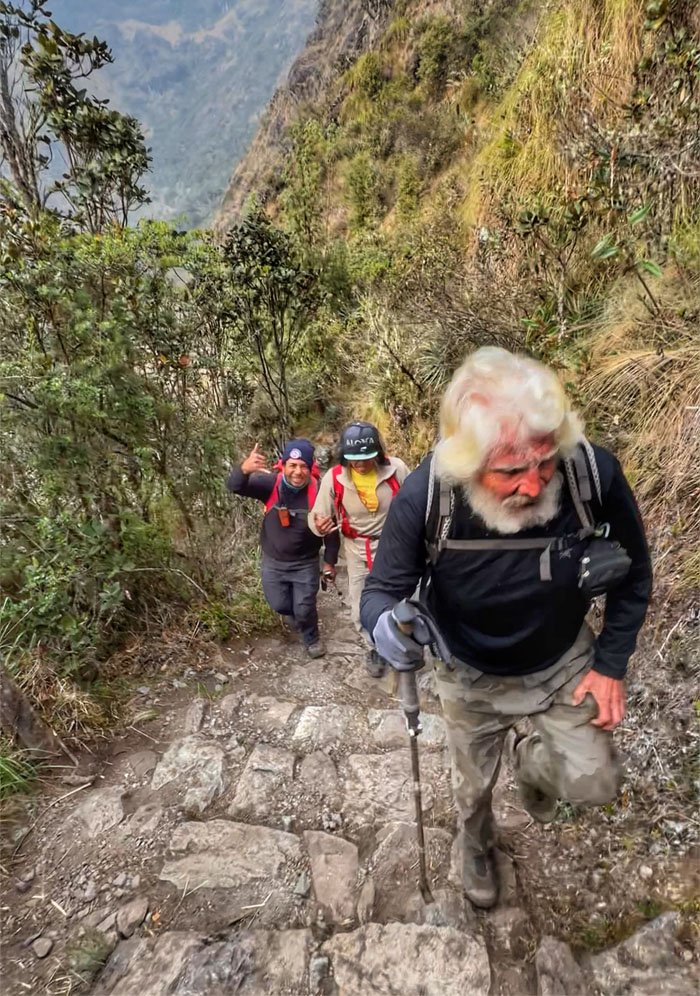
The guides told us this was the f*cking section on the trail, as this was the steepest part to the top and most hikers would start swearing around this point. So we had to join the crowd. Sound effects if you were there.
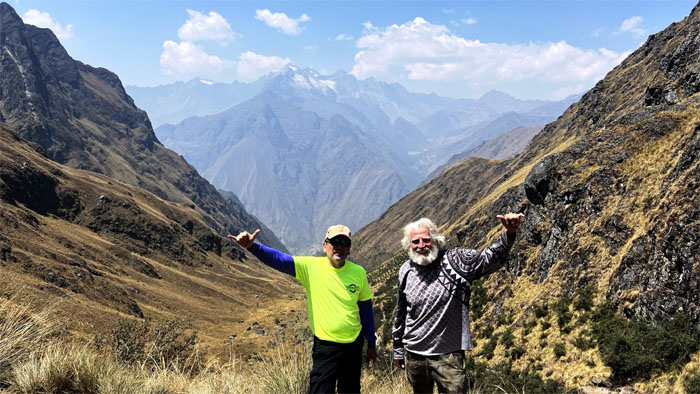
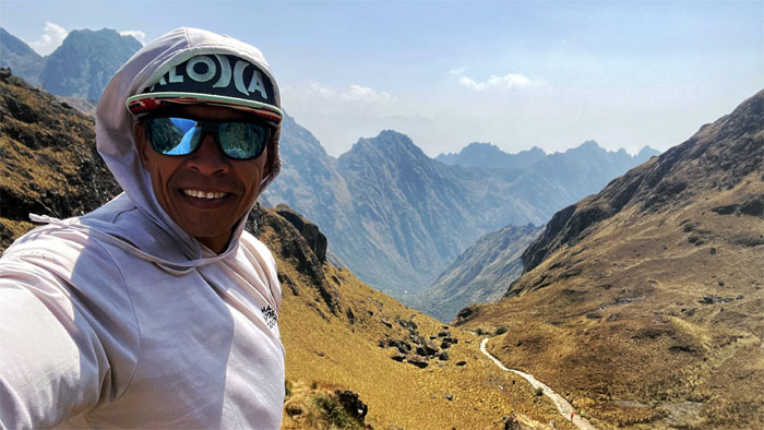
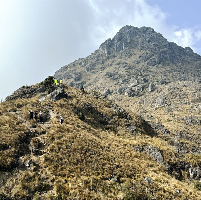
We reached the highest point on the Inca Trail which stands at 13,828′ elevation.
Matt climbed up the nearby hill to gain a higher perspective.
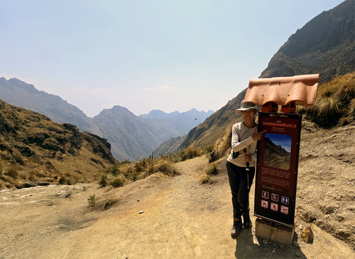
Aida with the sign marker. It’s called Dead Woman’s Pass not because a woman died here, but rather that the mountain range silhouette resembles a woman lying down. All the place names that were tongue twisters to my linguistically challenged brain are not the original names as the Inca civilization had no written language and after the Spanish conquered the country, the original names were lost in the dustbin of history.
Allison about to leave the summit to head down the trail.
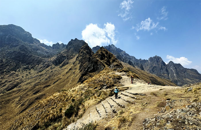
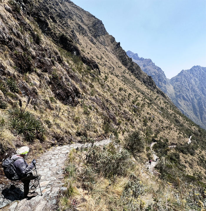
The rest of the group making their way down.
Aida making her way down the steep hill.
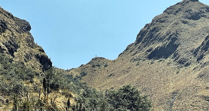
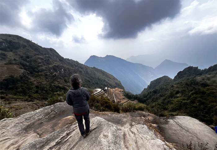
Looking back at the pass as somebody else was silhouetted on the hill.
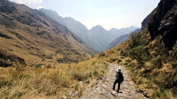
What goes up must go back down.
Letting the porters pass me on the trail. They have places to go.
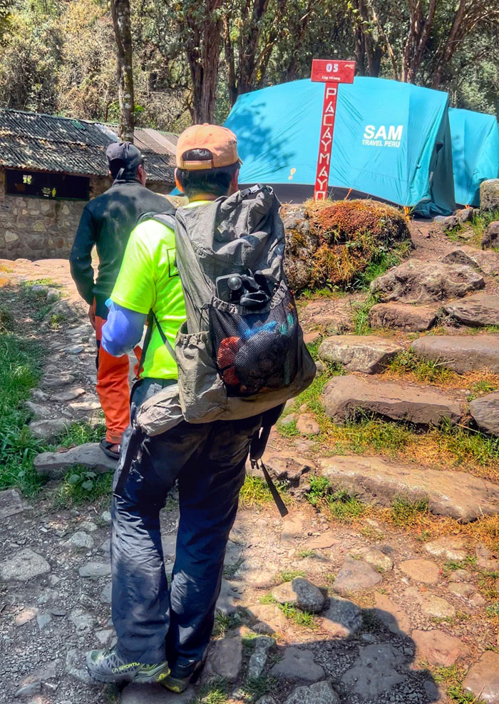
We dropped down to 11,798′ elevation where we would spend the night.
One of the porters guiding us to our campsite.
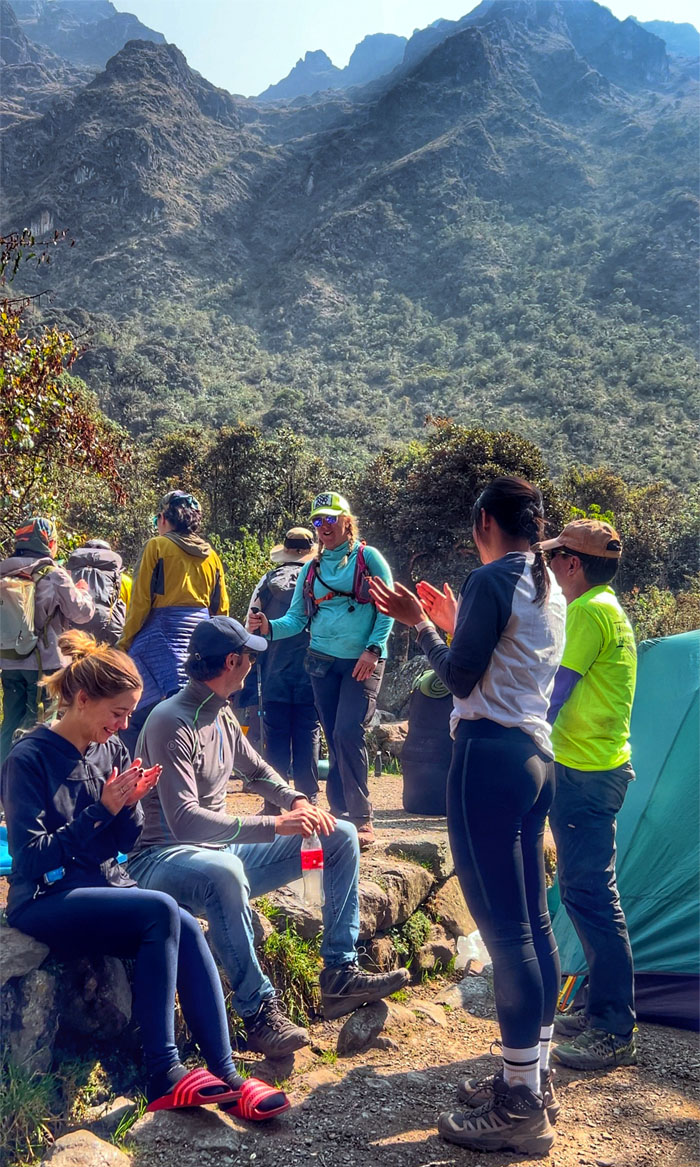
Allison making her entrance into the campsite amidst a smattering of applause. Can we eat now?
Eating our as always delicious lunch.
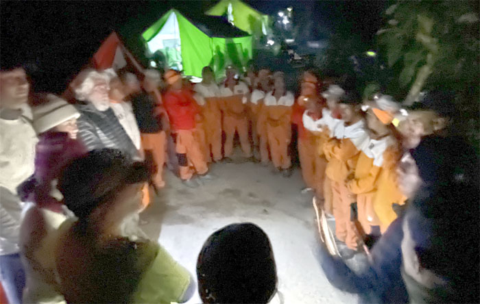
Meet and greet. Junaito (chef), Alberto (head porter), Basilo (waiter), Julio (propane tank), Noel (kitchen), Vemejo (food), Griego (duffel), Leonso (duffel), Semos (food), Comitos (food), Seiho (tents), Edison (tents), Mattias (duffel), Jusitono (duffel), Carlos (garbage/toilet), Apariso (food/duffel), Felix (meat), and Ricardo (sous chef). My ear for Spanish is severely lacking, so I’m sure I messed up most of their names. Their ages ranged from 20 to 67 years old, amazing bunch of guys.
Relaxing at our campsite, where some of us decided to visit the nearby campsite for a cold shower.
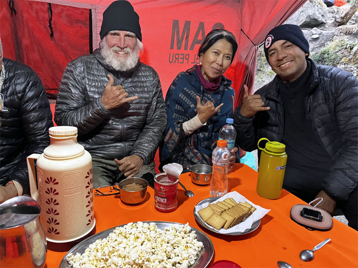
Popcorn and crackers for our snack time.
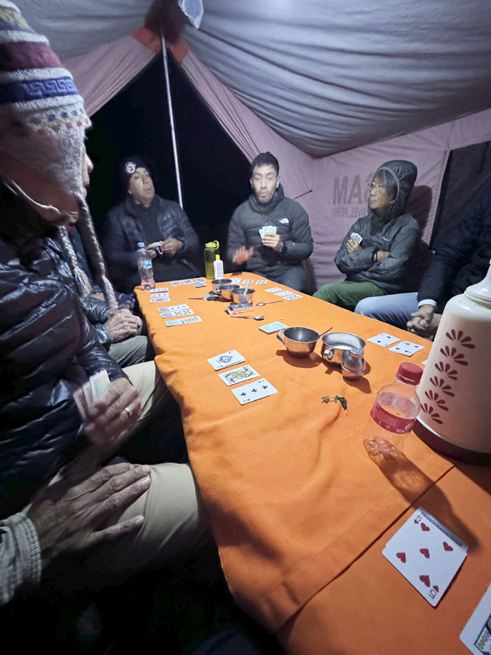
We had time to kill, so JP and Jose taught us a card game called Shithead. Supposedly it’s popular with hikers. The object of the game is to get rid of all your cards and the one left holding the remaining cards is the Shithead. Guess who won (lost)? The name starts and ends with a vowel.
It was time to eat our dinner. Our guides then told us a ghost story but not before several individuals excused themselves as they had no desire to have nightmares or spiritual visitations. The story was that a wife was supposedly murdered by her husband in this same area many years ago and to this day, her presence haunts this locale. Good night and don’t let the ghosts bite.
Day 3
We woke up again at 0500 to a bowl of warm water and soap and cocoa tea outside our tents and then ambled over to the mess tent to have our breakfast.
Aida and Deborah left early again to get another head start on the trail along with Valerio, the fastest and strongest of the porters.
Which works better? Bug spray or head net? Only time on the trail will tell, as we were told that the biting bugs would be out in force today. The bark turned out to be worse than the bite.
Leaving the campsite for the trail.
There was another f*cking section of the trail. Here we go again.
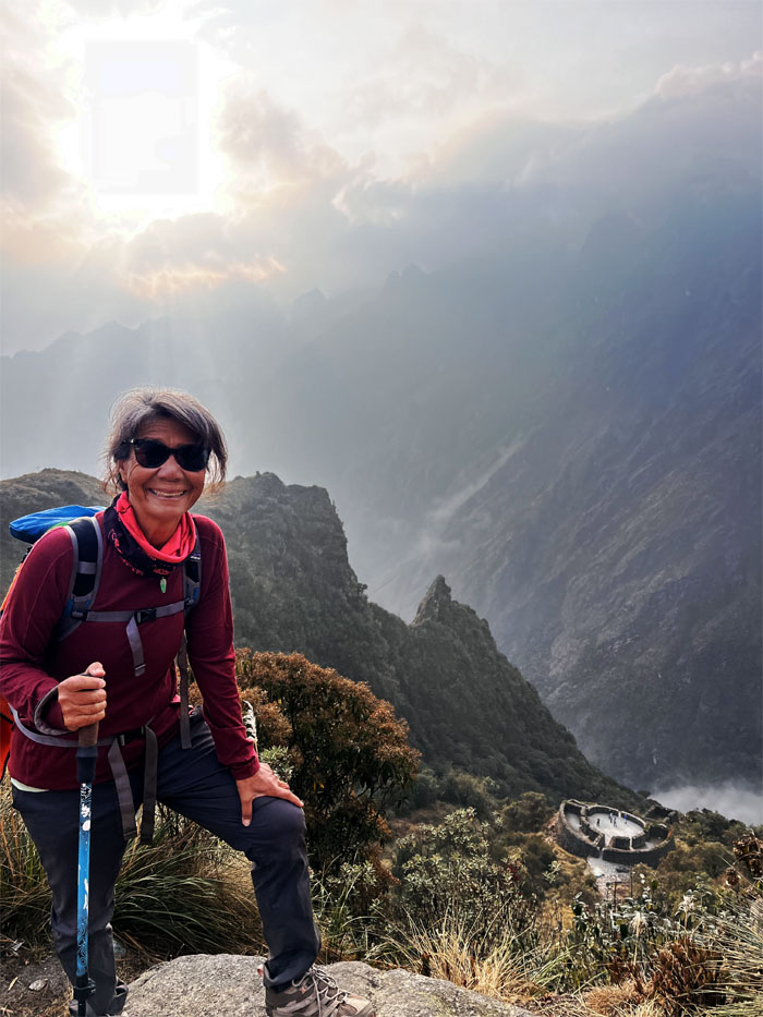
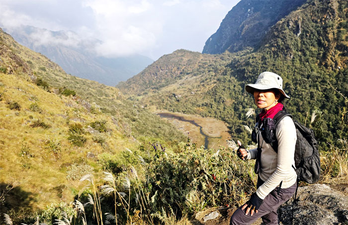
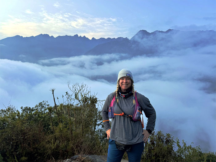
Deborah overlooking the ruins with views of Urubamba Valley.
Chico crossing over a bridge with the cloud wrapped mountains behind him.
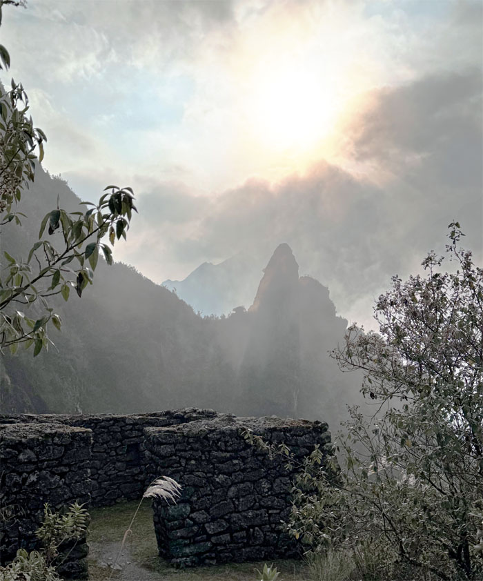
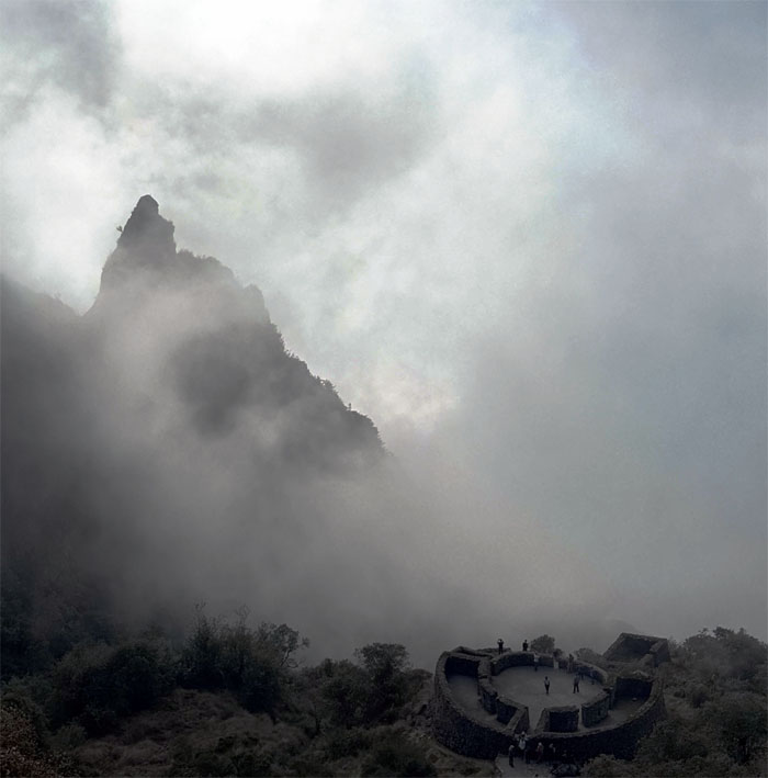
The structure served as a resting place and control site to monitor the people traveling on the Inca Trail.
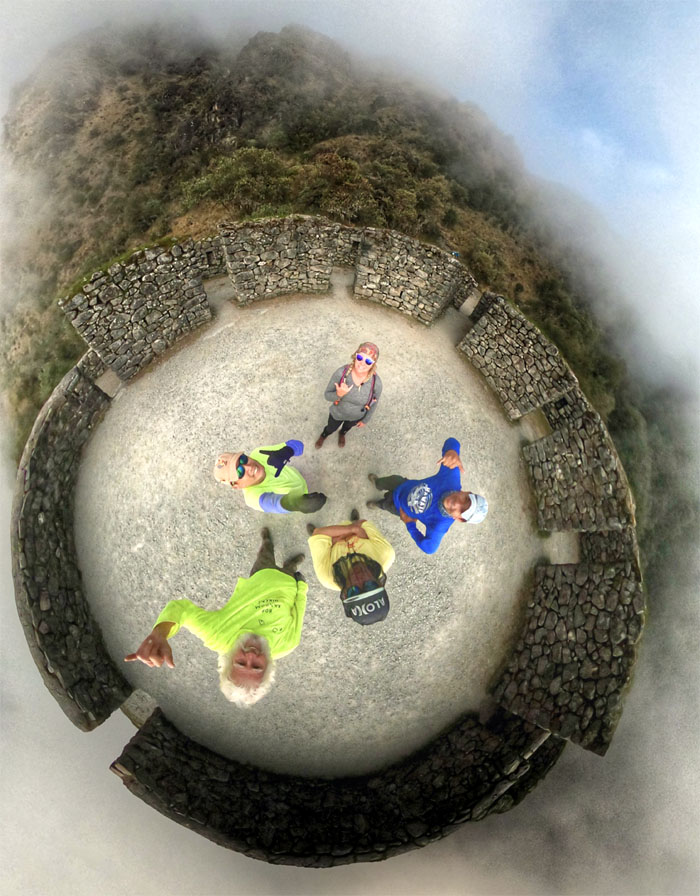
360 degree view of the circular archaeological site.
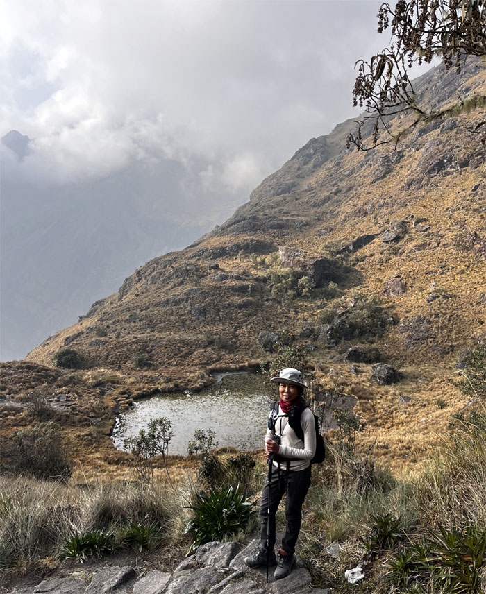
Aida near the first and smaller of the two hanging lakes.
Can you see Dead Woman’s Pass for the mountain range?
Looking back at the now cloud soaked ruins.
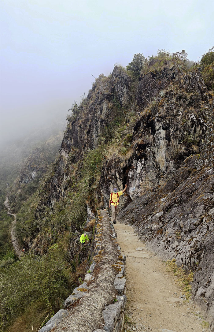
Not as steep as Dead Woman’s Pass.
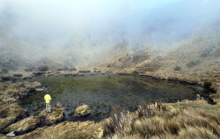
Matt checking out the larger of the hanging lakes.
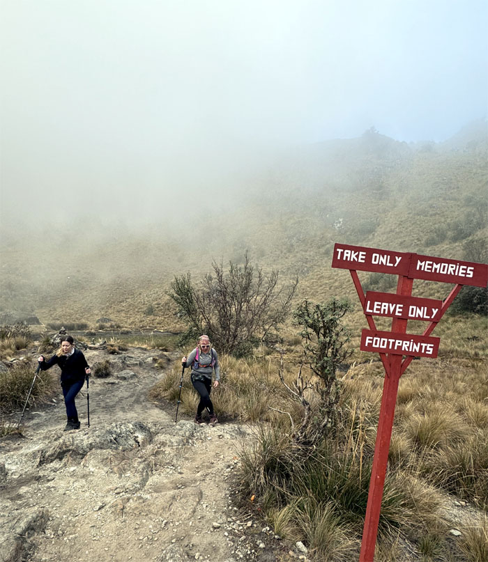
Amelia and Allison leaving the lake and passing the sign with the oft-quoted saying that is attributed to Chief Seattle, a leader of the Duwamish tribe of the Pacific Northwest tribe.
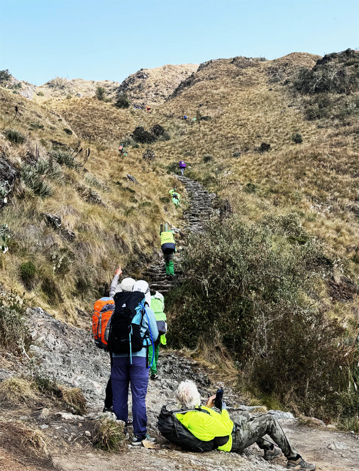
A mix of porters, guides and hikers making their way up the trail.
Taking a break in the pass.
Some of us scrambled up to the nearby hill.
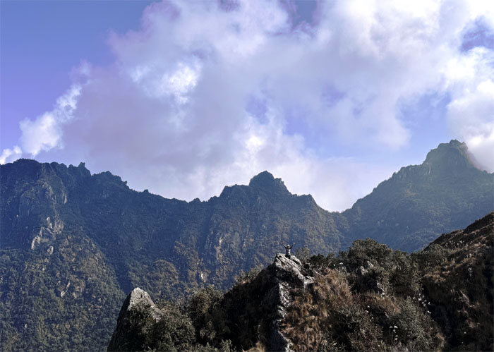
Can you see Allison for the mountains?
A different view from the top of the hill.
Descending down the hill.
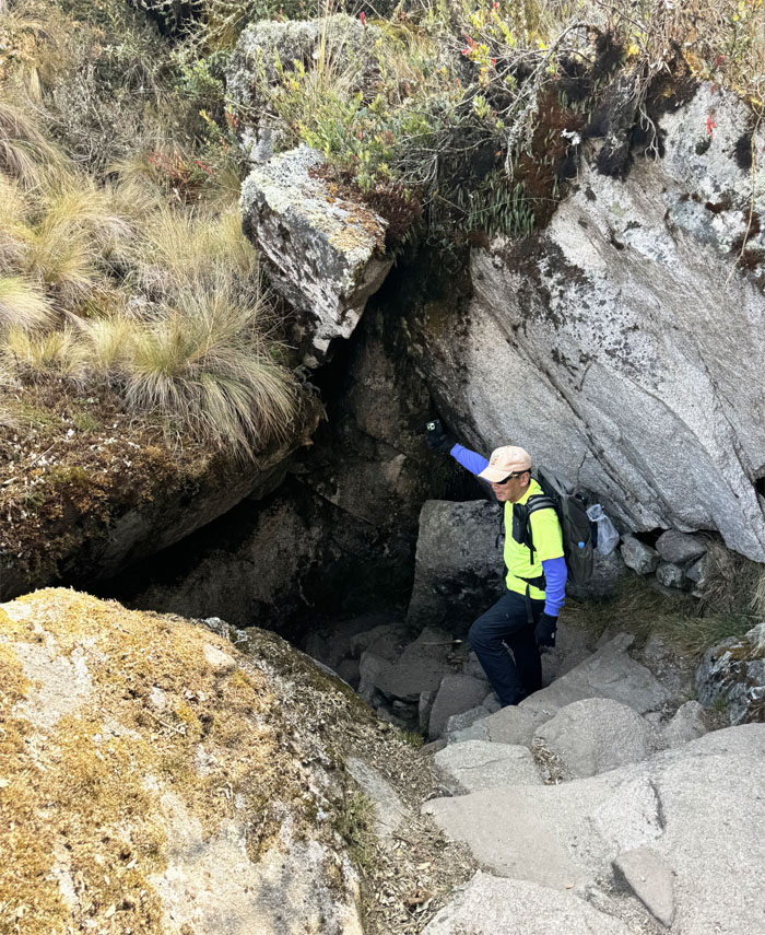
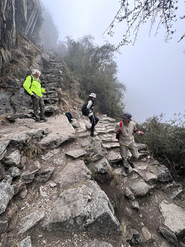
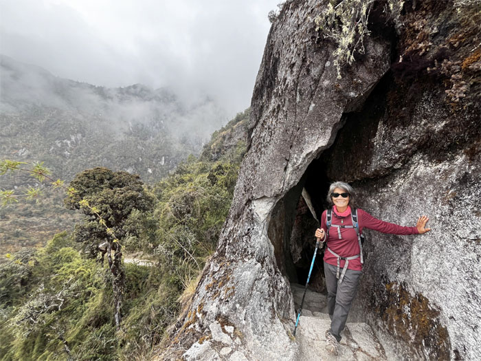
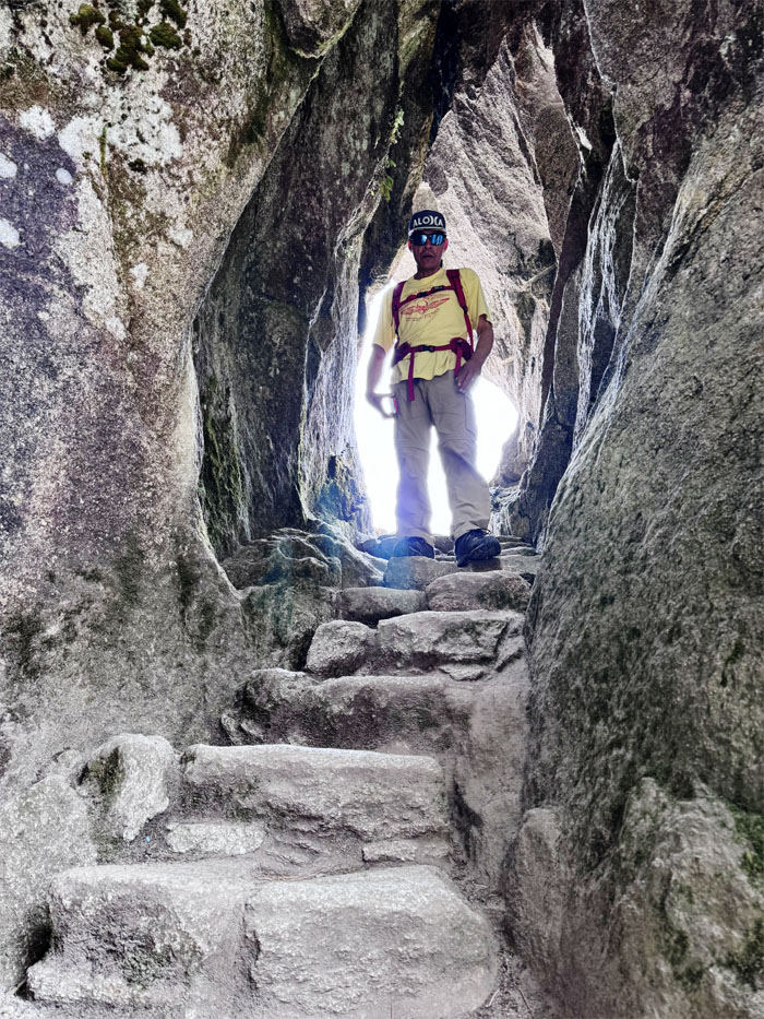
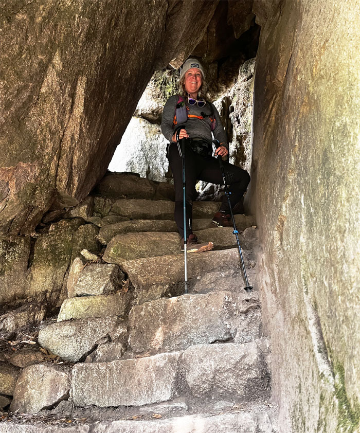
Descending into a rock tunnel.
Aida against the backdrop of what I thought was a stream, but it’s actually a lake that is starving for water.
Allison and Jose coming down the first set of the Gringo Killer Steps.
Jose sprinting up the second set of Gringo Killer Steps. This one actually claimed a Gringo as Allison decided to stay at the bottom.
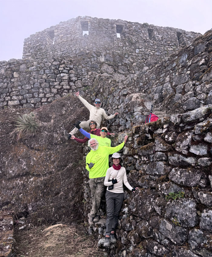
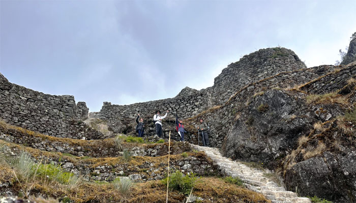
Matt approaching the top of the ruins that is perched on a mountain spur.
Jose explaining the historical background and the fact that behind us was a historical trail that also connects to Cusco.
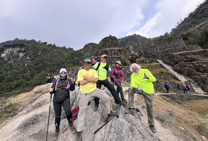
Group photo at the complex that was used for religious and residential purposes.
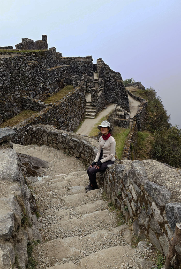
Aida sitting against the background of tightly constructed and compartmentalized areas due to the space that they had to work with.
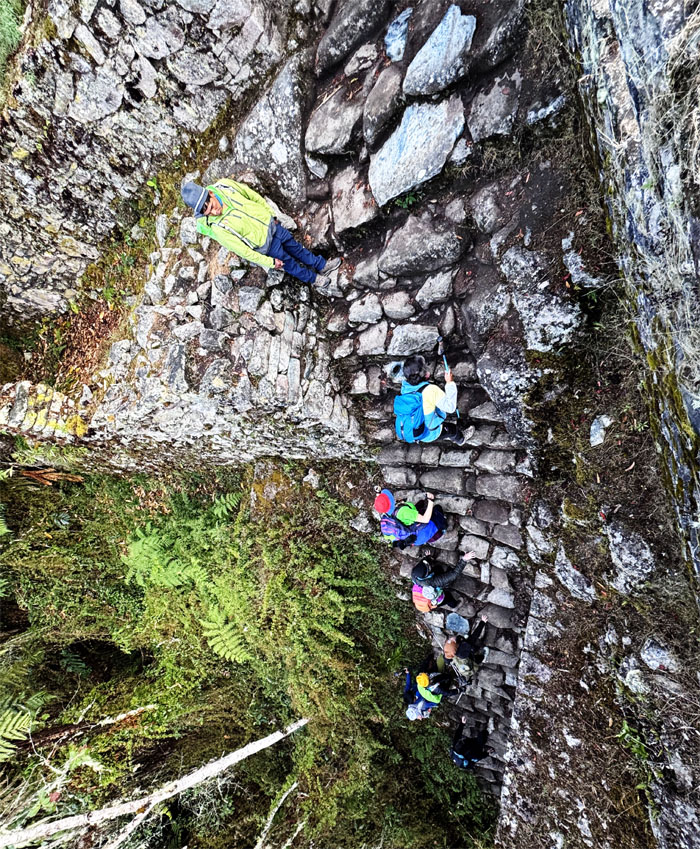
The group staggered on a set of “floating” steps built into the stone structure.
Splish-splash, we were taking a bath. Water not needed when you have imagination.
Leaving the archeological site.
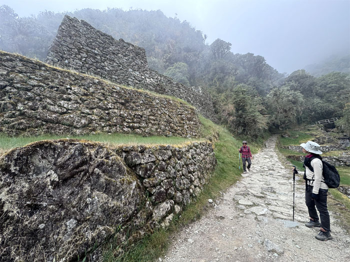
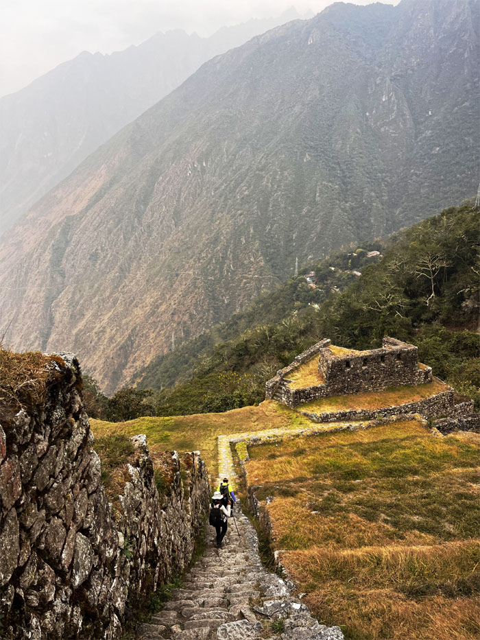
Passing through some ruins that were in the process of being restored.
We took a quick break at this campsite before resuming our hike.
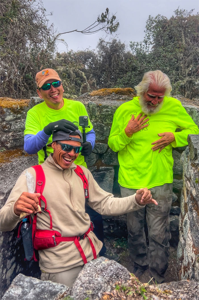
Trail debate about living within your means and working with what you got. Some of us can agree to disagree.
Today was the longest distance we would cover in a day, which was a little over nine miles.
Deborah about to enter a rock tunnel.
Matt making his way down.
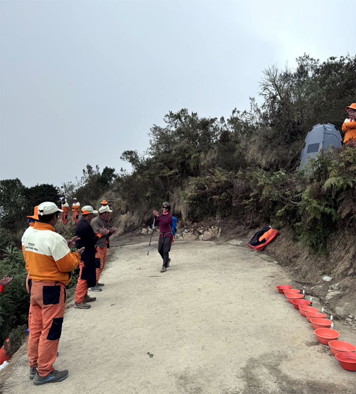
Deborah walking down the runway of applause as bowls of warm water and soap awaited us.
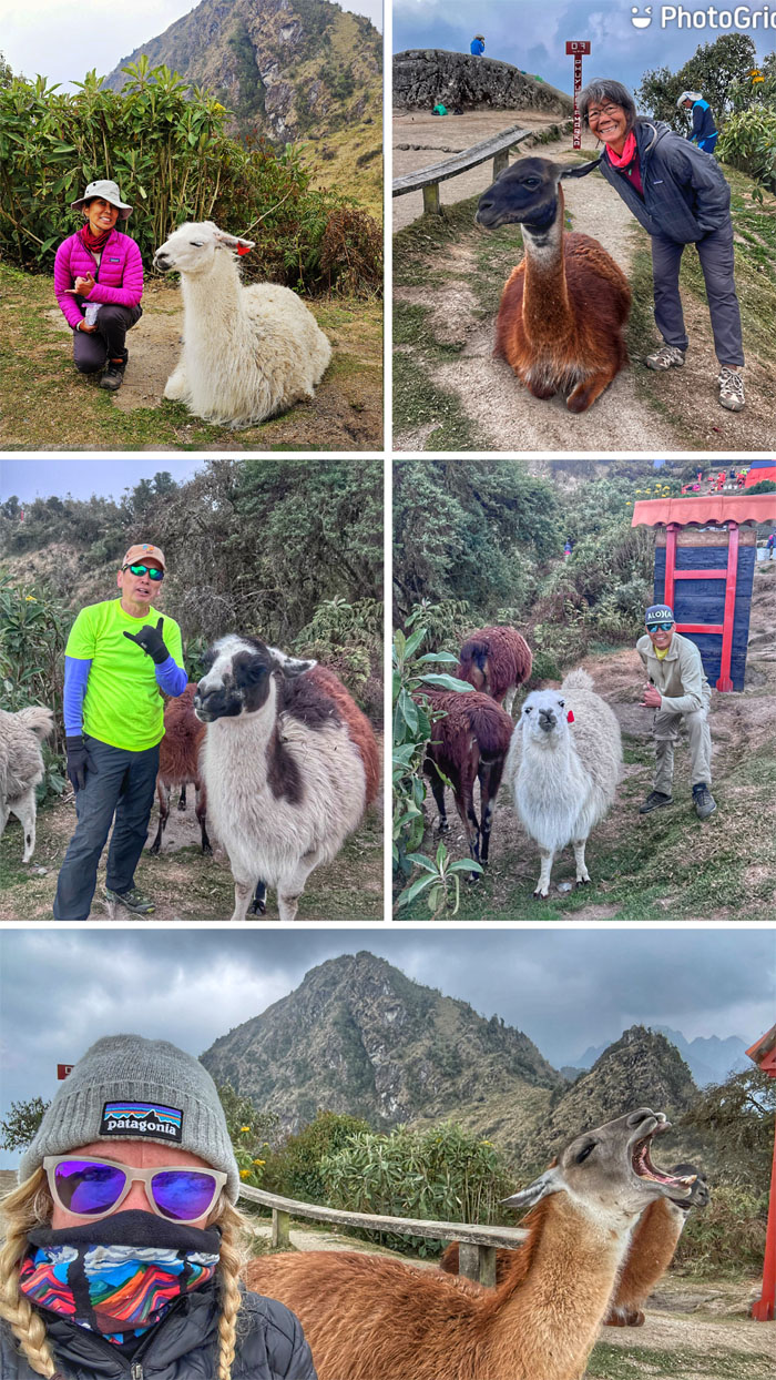
Grabbing our solitary shots with the llamas.
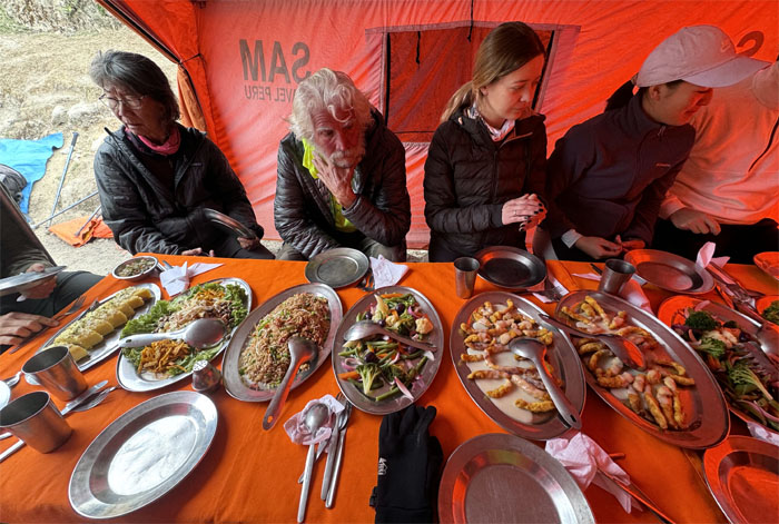
Lunch is served.
Scenic spot.
The campsite was able to get cell phone reception in the form of bad news. Mari had her phone stolen in the marketplace back in Cusco and was flying home today. Thanks to Maria for her assistance in all matters.
Making our way down the third set of Gringo Killer Steps.
Are we down yet?
Group photo at the site known as “The City Above the Clouds” due to its elevation of 11,811′.
JP’s group coming down the steps.
Spiraling our way down the fourth set of Gringo Killer Steps.
Descending down a rock tunnel.
Allison about to exit the tunnel.
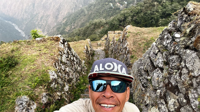
The trail soon lead us to these ruins that were “discovered” in 1992 and cleared by the University of Cusco. Imagine what other ruins may be “hiding” in the jungle that quickly claims and covers any man-made structures that are not kept up.
Matt climbed the steps to gain another higher perspective.
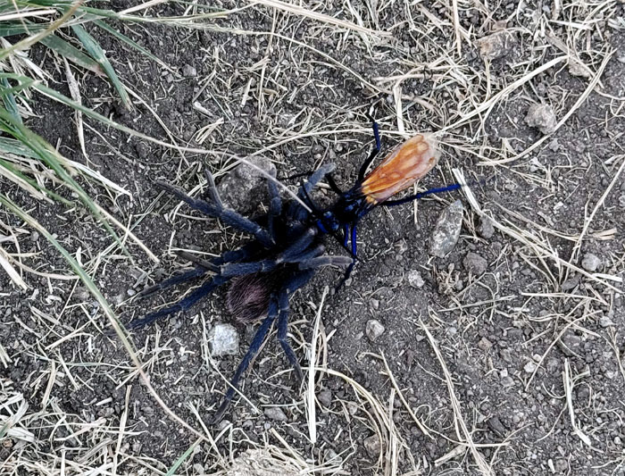
Watching a wasp drag its tarantula victim back to its nest.
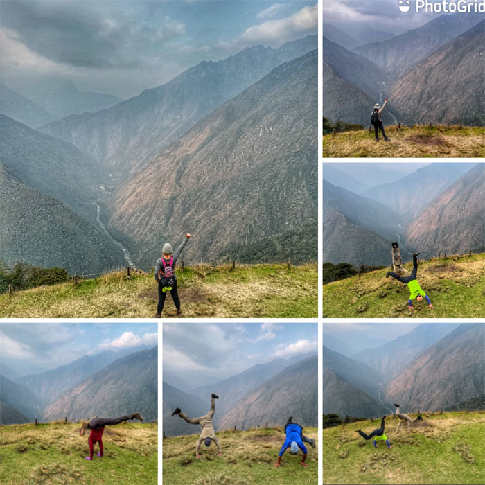
Cartwheeling across the open area, hoping a wasp will not drag us to its nest.
Group photo at “The Place of the Sun” which sits at 9,300′ elevation.
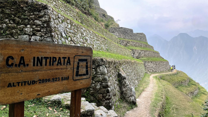
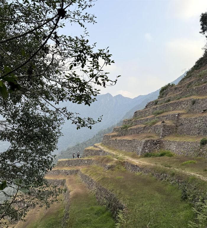
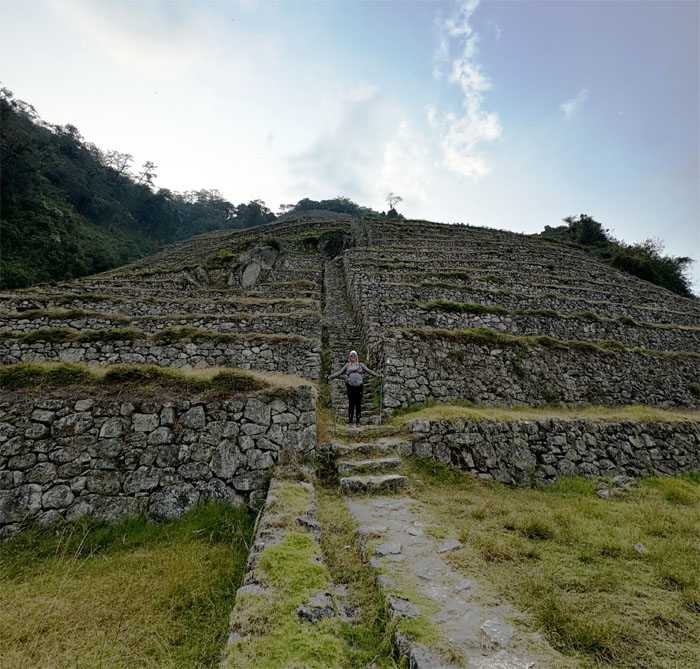
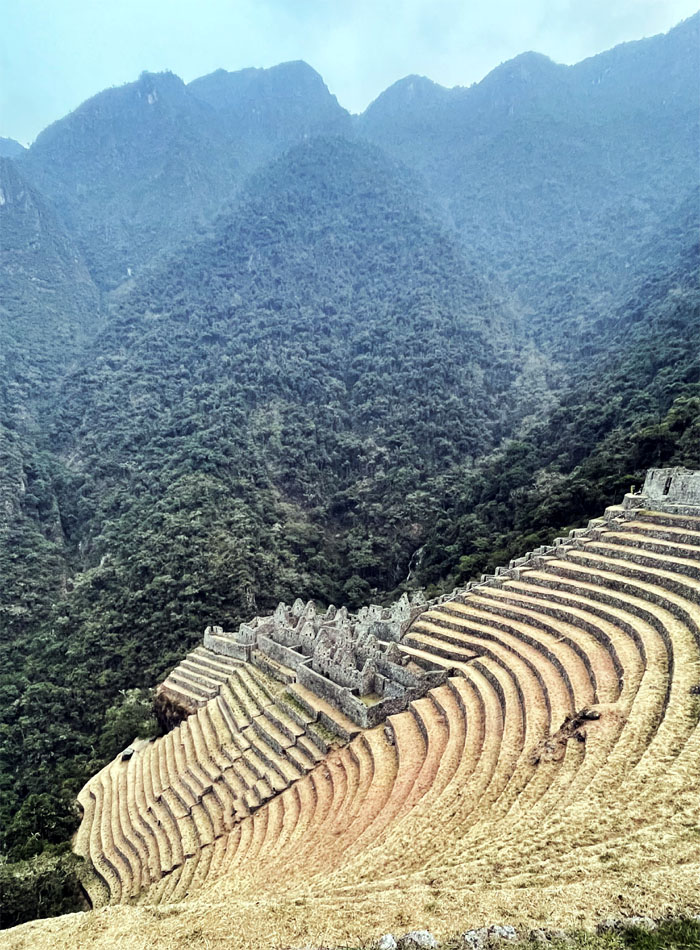
Following the trail as we made our way down from the terraced platforms, which at one time grew food crops such as potatoes.
Going down the fifth set of Gringo Killer Steps. The story goes that the guides just made this up to joke with their customers and also perhaps to make light of the steep steps, which I found wasn’t that steep as advertised. No complaining here.
I think somebody had enough of the Gringo Killer Steps for the day.
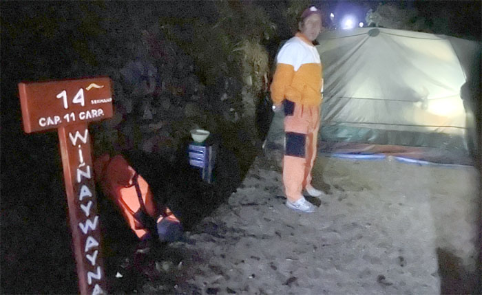
Our porter leading us to the most densely packed campsite.
Matt was the only one that made the visit to these nearby ruins. The rest of us were too busy relaxing and taking cold showers.
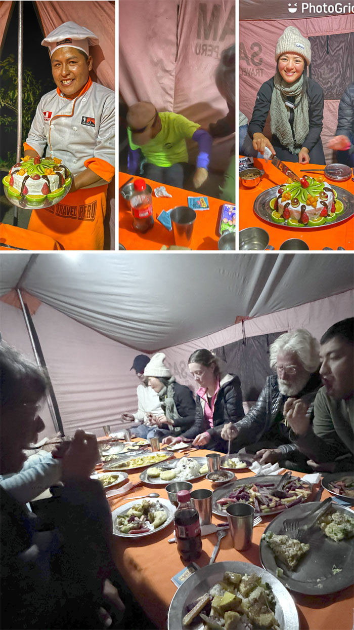
The final dinner on the trail that was capped off with a home made cake made on the trail using a pressure cooker. Evy got to cut the cake since her birthday was the closest.
We did the tipping ceremony where we collectively gave the porters extra money in appreciation for all their hard work that made our hike that much easier.
Day 4
We got up earlier at 0330 to allow the porters to break down camp and was given a breakfast bag to take with us.
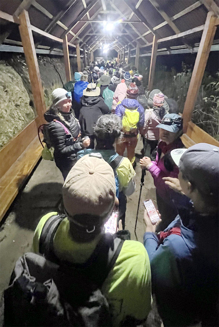
The control point was teeming with hikers who had gotten up earlier than us to get in front of the line. We all had to wait until 0530 before being released onto the trail.
Traffic jam on the trail.
Chico and Matt raced ahead to try and catch the sunrise.
Thanks for the advice.
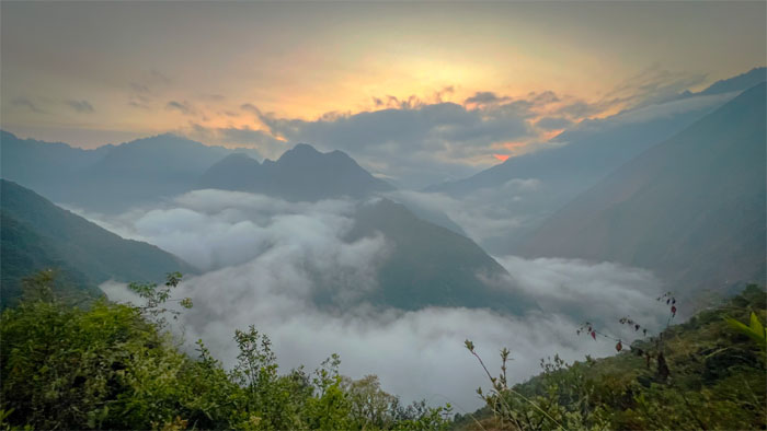
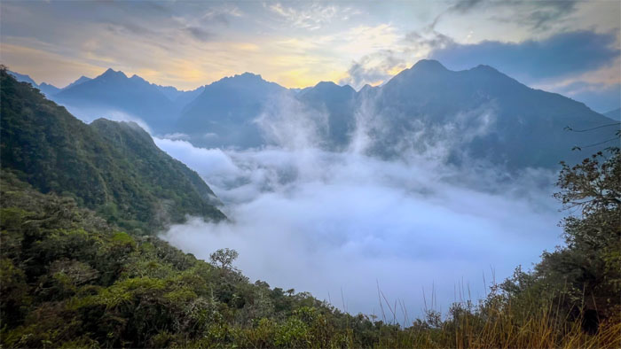
Another view of the sunrise with seemingly steaming clouds coming off the valley floor.
Met up again with the couple from New Mexico on the trail, where we found out that their phone with all their memories of the trip had just been stolen outside of their tent last night. Shades of Mari.
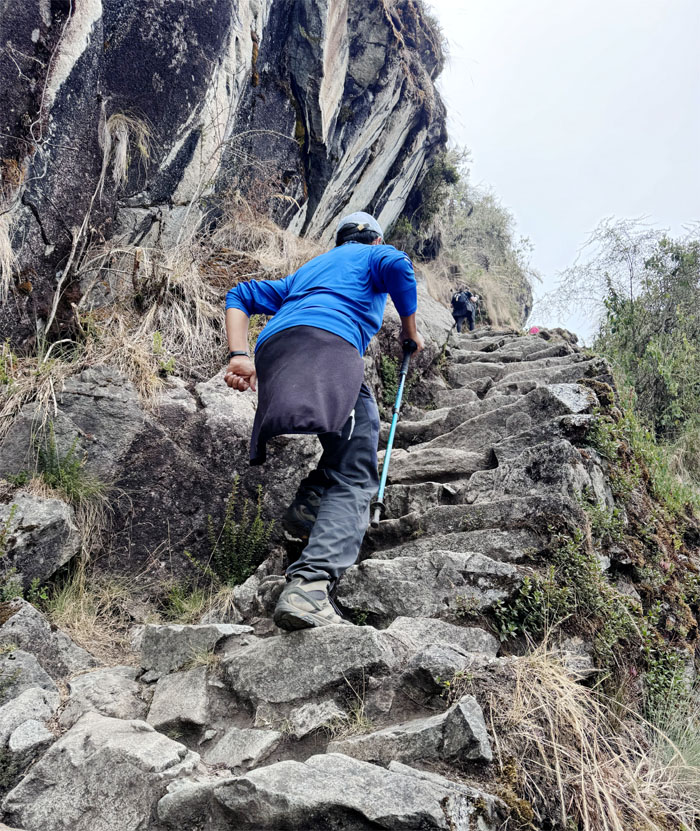
Climbing up the last set of Gringo Killer Steps where most have to use their hands and feet to make it up the steep climb.
Allison at the top of the Gringo Killer Steps.
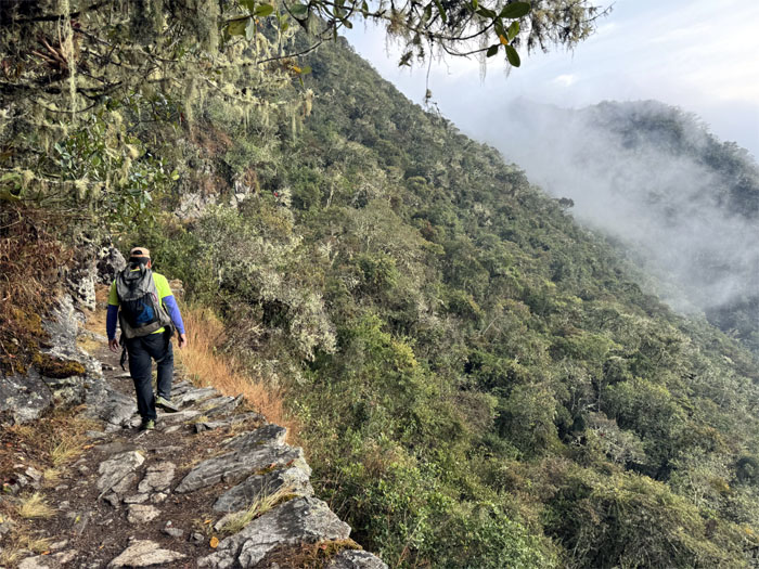
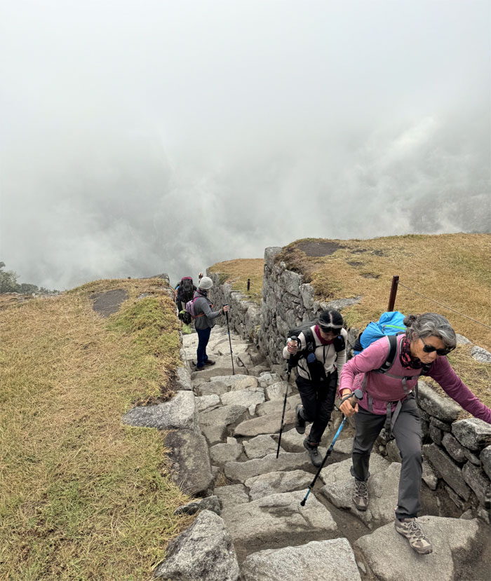
The clouds seemed to be burning off as we approached the Sun Gate.
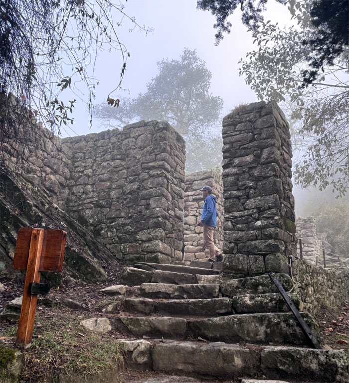
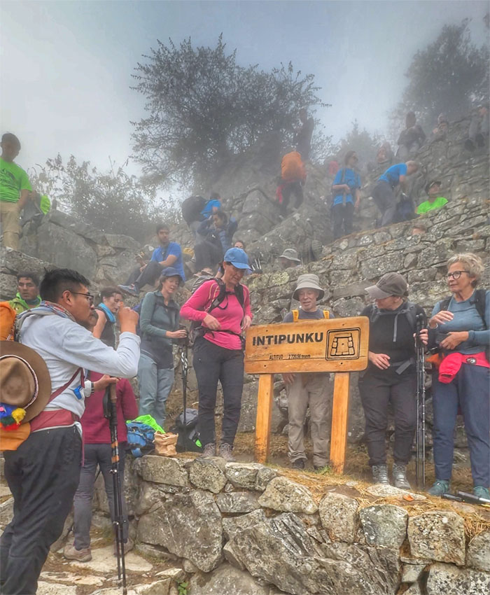
Approaching the control gate that was the entrance and exit to the sacred city of Machu Picchu.
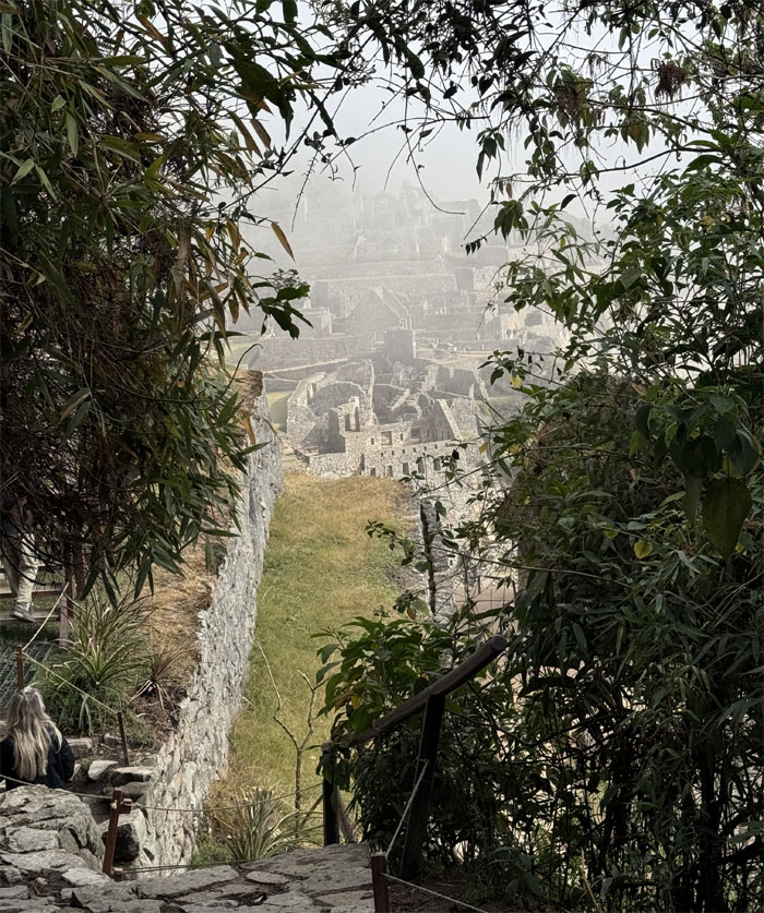
We arrived at the cloud soaked ruins at an elevation of 8,923′.
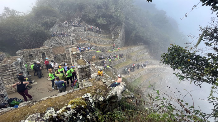
Everybody started to gather and congregate on the stone steps and terraces to catch a glimpse of the sunrise. It was a bust. Cloud Gate.
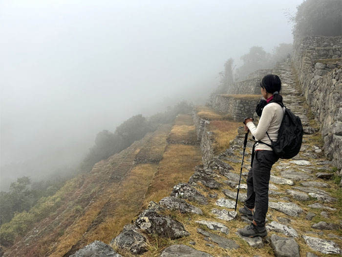
Waiting for the fog and/or clouds to burn off.
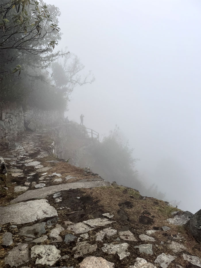
The wait was in vain so we continued along the cloud soaked trail.
Group photo in front of the cave that once housed Inca royal mummies that were “appropriated” by Hiram Bingham and company for sale to private collections.
Are we going to get a view today? Or do we have to settle for the postcard and photoshop ourselves in them.
We still have to climb?
Whistles and contradictory advice lead to a confused photo.
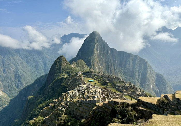
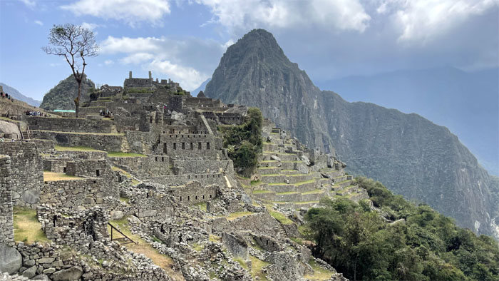
The postcard photo of the Inca citadel that was “lost” to time after the Spanish conquered and colonized the country in 1572. Hiram Bigham, while not the first person to “discover” the ruins, was the first to bring it to international attention.
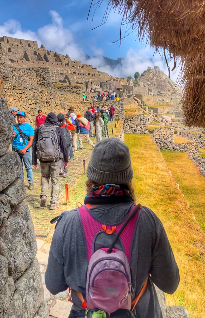
Making our way out of the site through the “hiker” path. People that visit the site by motorized vehicles enters a different path.
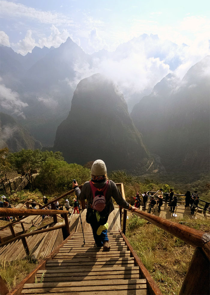
Allison climbing down the stairs with a postcard view of the valley in front of her.
Re-entering the archeological site.
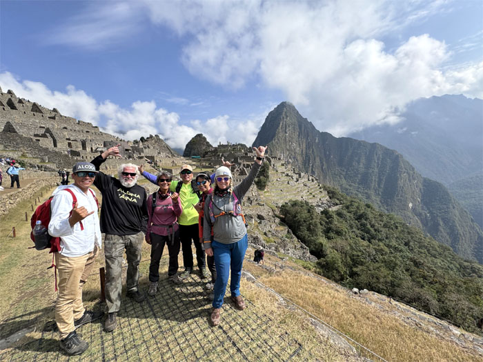
We waited in line to take our group photo …
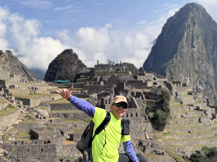
… and solo photos as well.
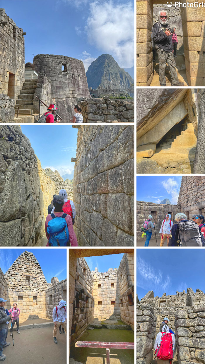
Exploring the Temple of the Sun, Royal Residence and other stone structures.
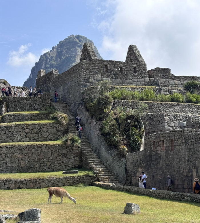
Climbing up another flight of steps as we passed a grazing llama.
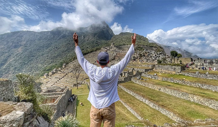
Matt looking out over the ruins of the royal estate that was built for the Emperor Pachacuti circa 1450.
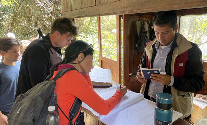
Showing our passport and ticket at another control point that only allows 400 hikers a day.
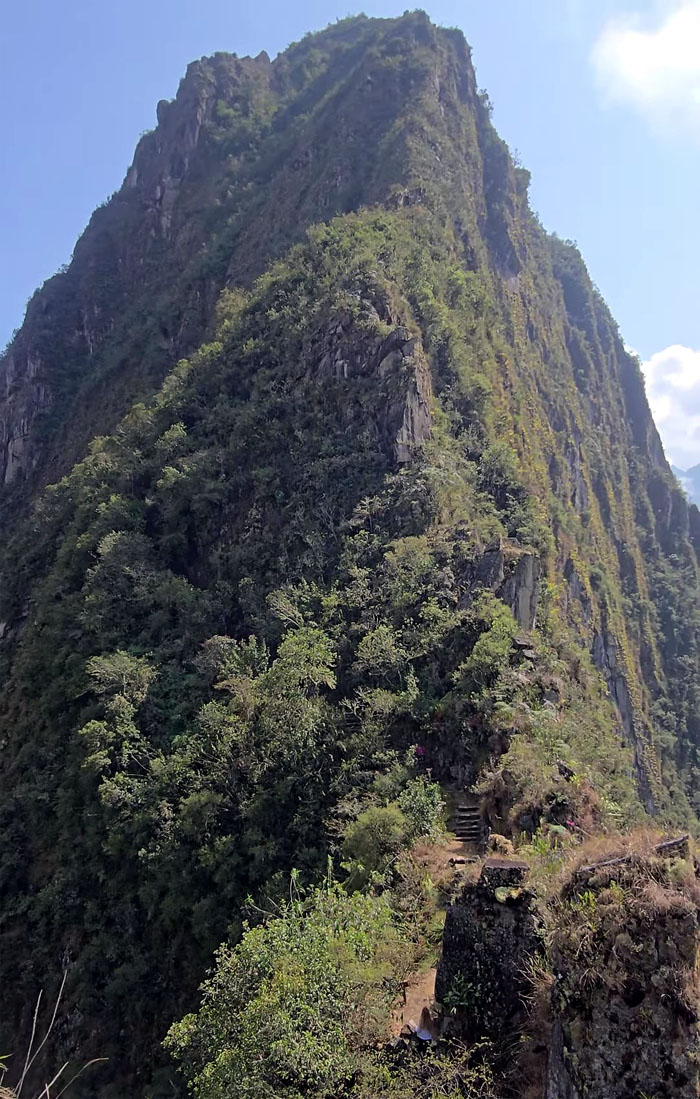
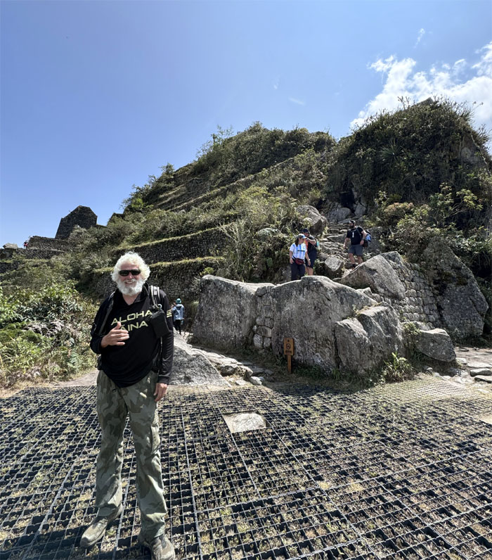
The start of the climb towards the mountain that overshadows Machu Picchu.
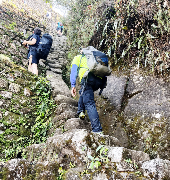
Chico heading up the trail that started off gradually and became seemingly steeper with each step we took.
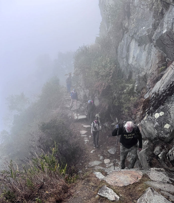
Yielding to descending traffic, where we also saw a woman who was in pain after breaking her ankle on the steep path.
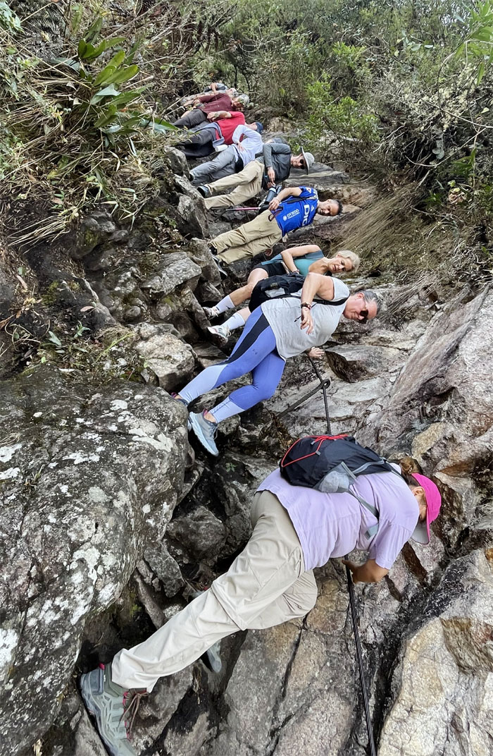
Climbing my way up the steep trail that was interrupted by terraces where one could rest or yield to faster traffic.
The trail split into separate directions at this point to minimize bottlenecks. Not everybody observed the traffic flow.
The final push to the top.
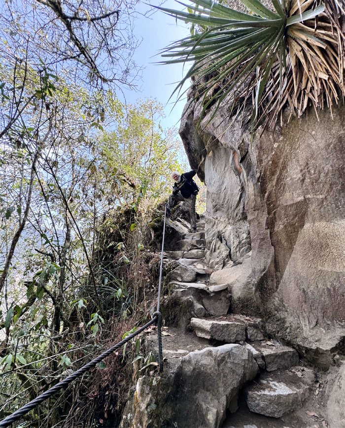
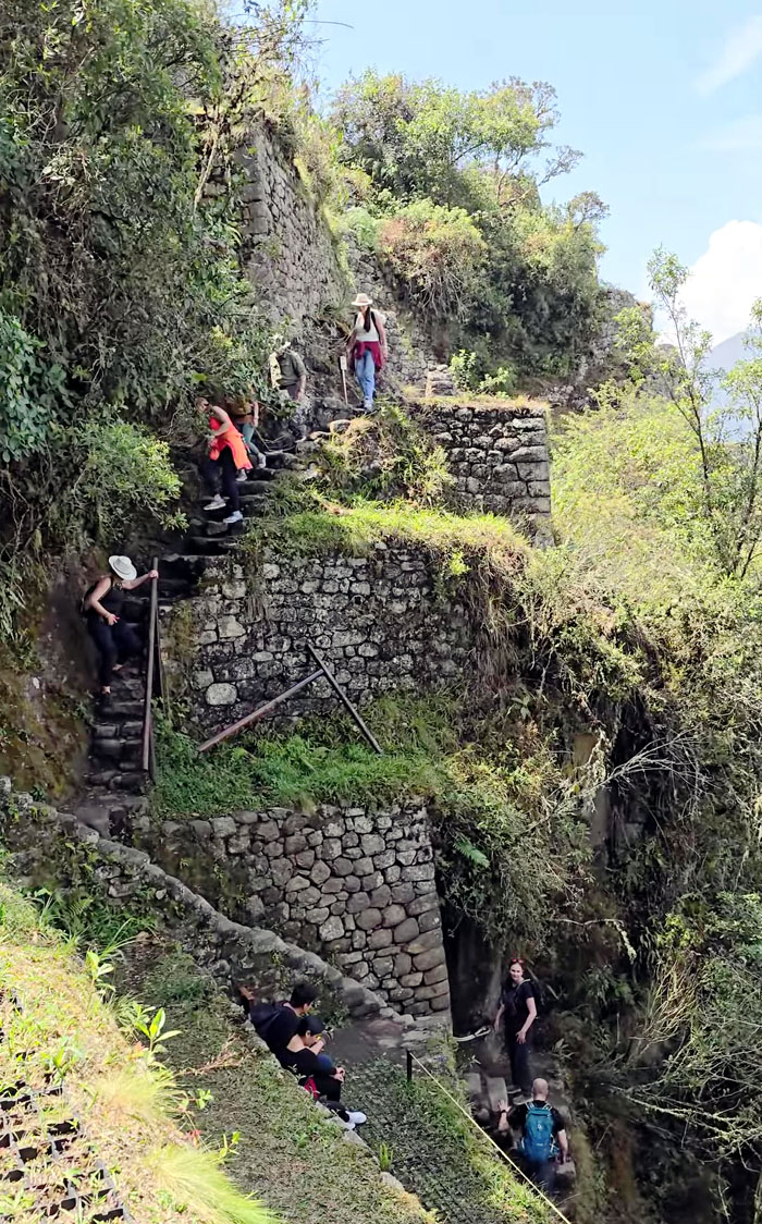
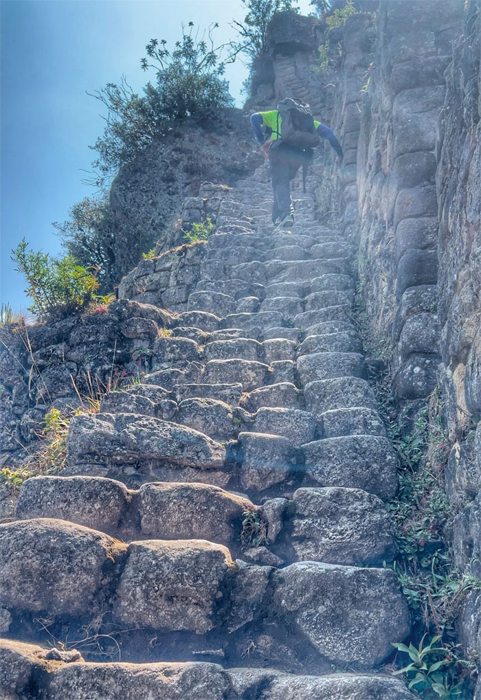
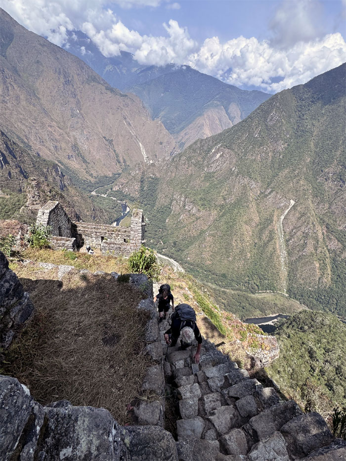
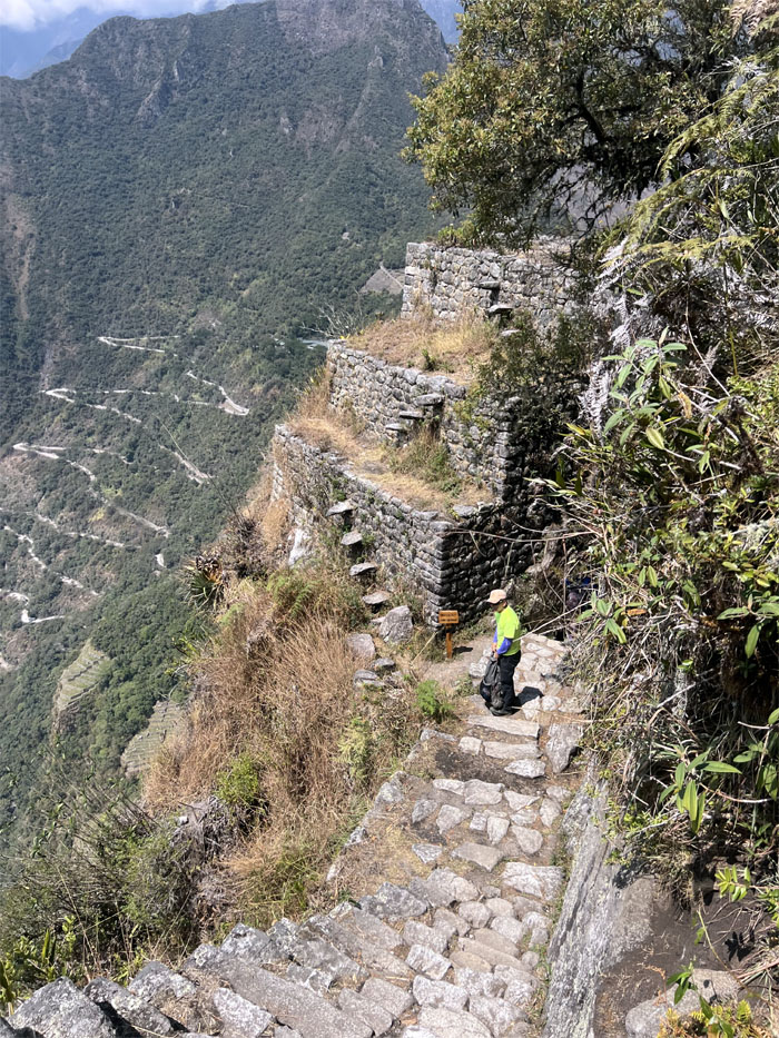
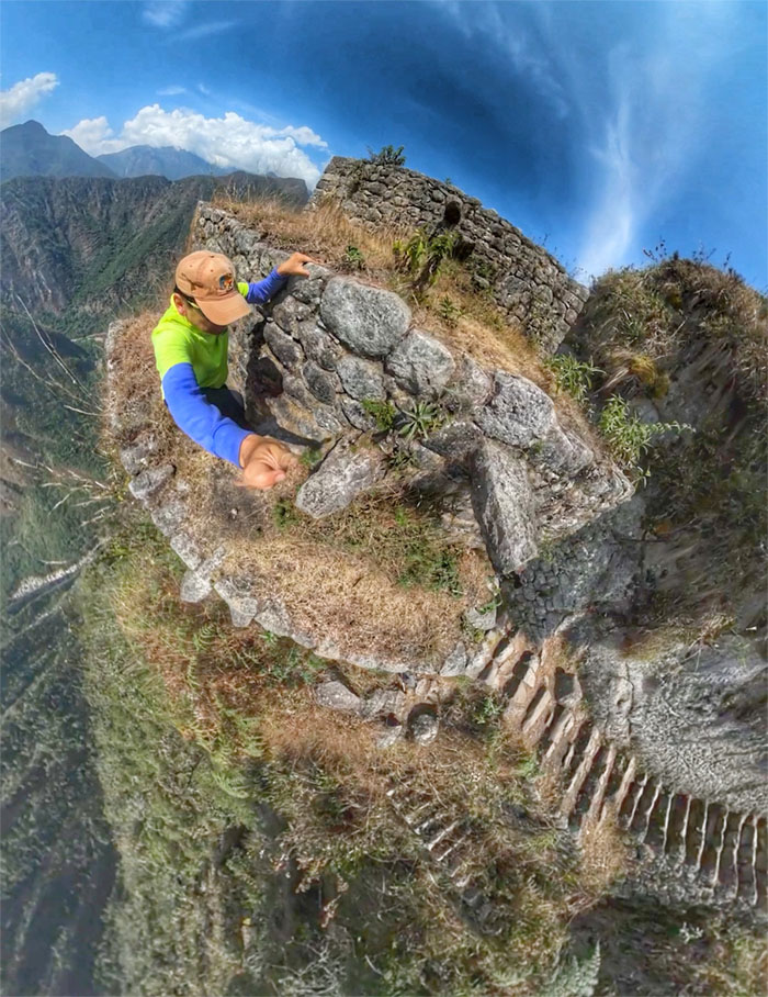
Chico climbing up the “Stairs of Death.”
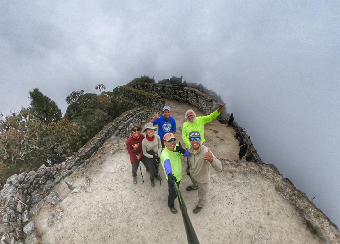
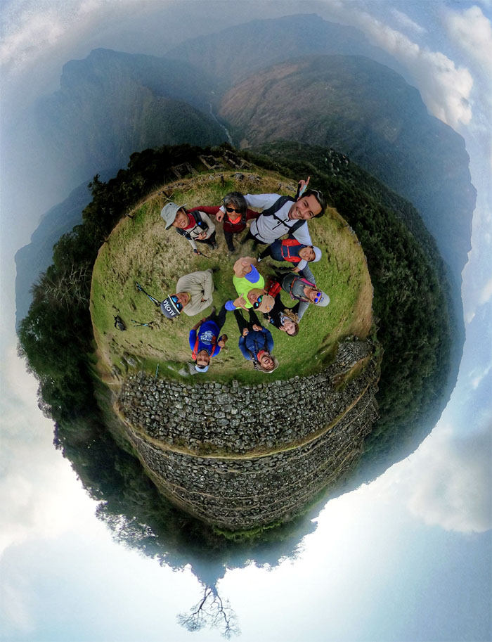
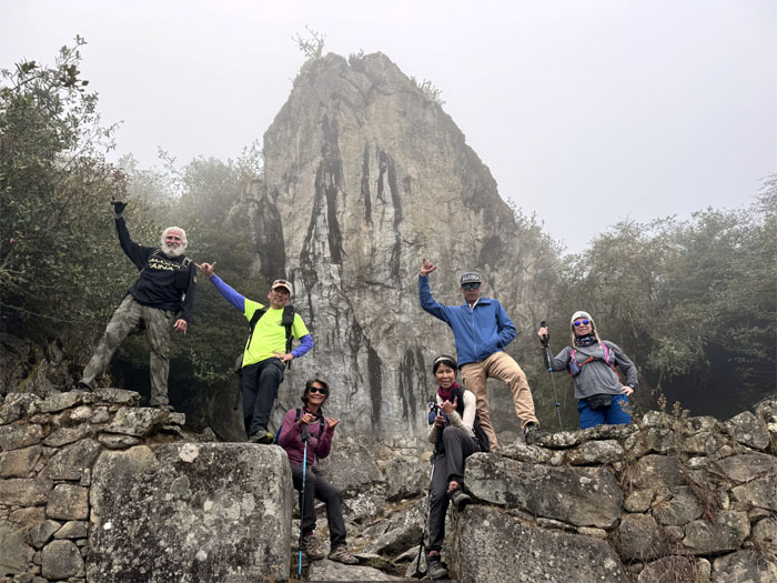
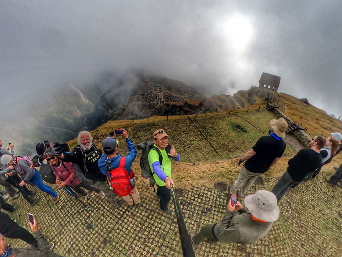
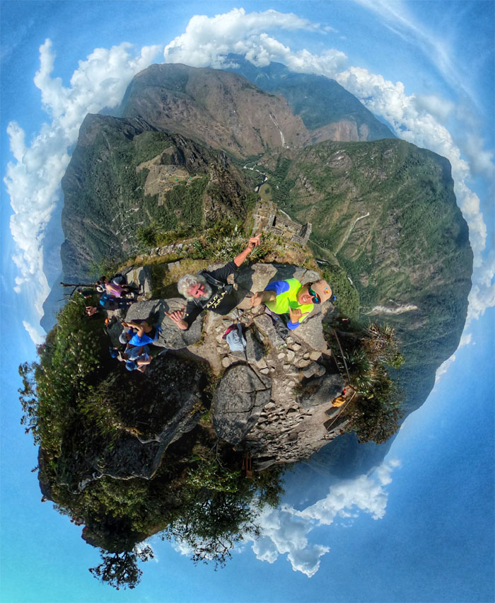
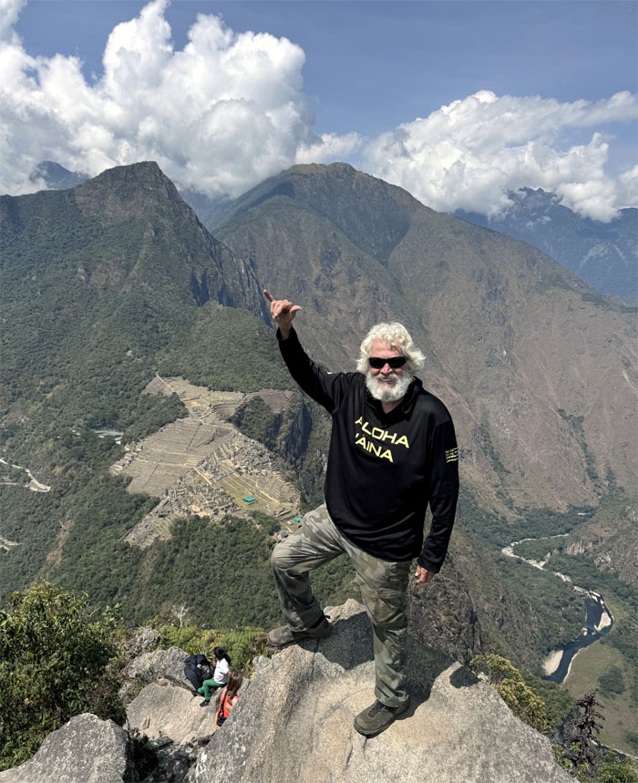
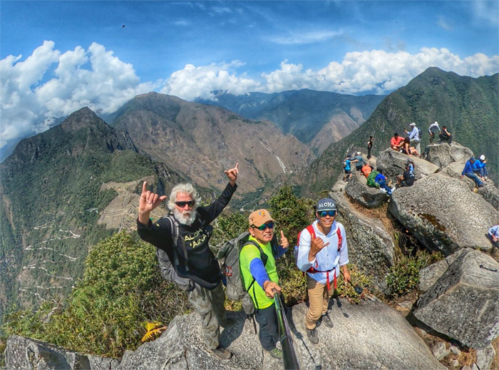
360 degree group photo at the top.
Chico at the 8,835′ summit.
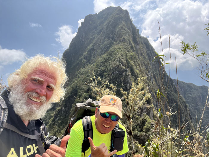
Another group photo with the buzzing bees at the top.
Climbing our way down the loop trail.
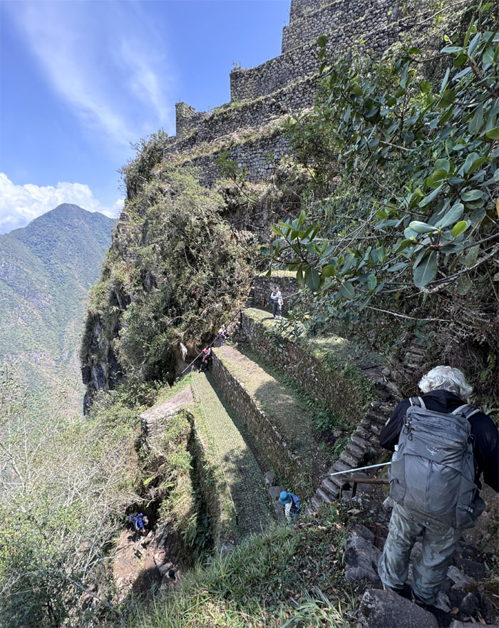
Ascending and descending the “floating steps.”
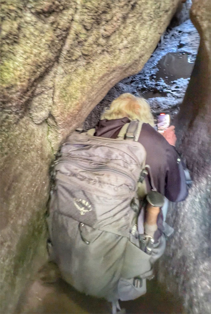
Squeezing our way through a tunnel that the guides told us was not conducive to gordo (fat) people.
Chico standing on one of the platforms that break up the trail.
Re-joining the main trail back down the mountain.
Looking back at the “young mountain” that we had just climbed.
Our last look at the “Lost City of the Incas” as we left the UNESCO World Heritage Site.
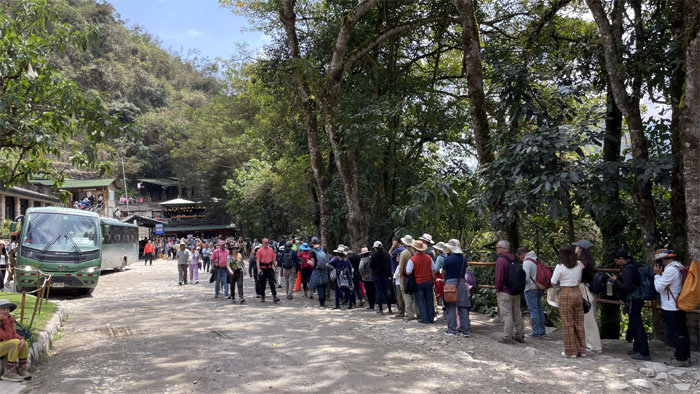
Standing in the long but fast moving line to board the bus that would take us a step closer to getting back to our hotel.
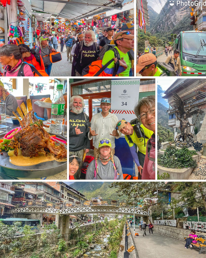
We got off at the “hot springs” town that didn’t exist until the railroad was built here in the 1920s. Had lunch at the Munaycha restaurant that allowed the porters to drop off our duffel bags in exchange for our patronage.
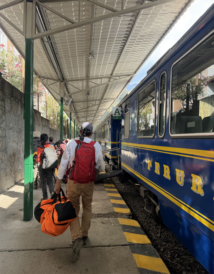
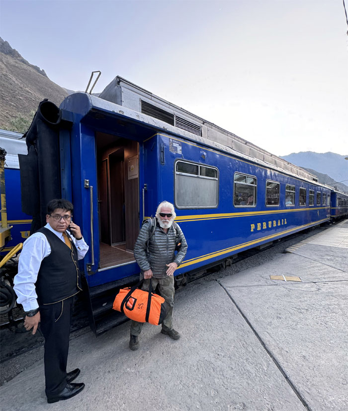
Boarding the train for our ride back.
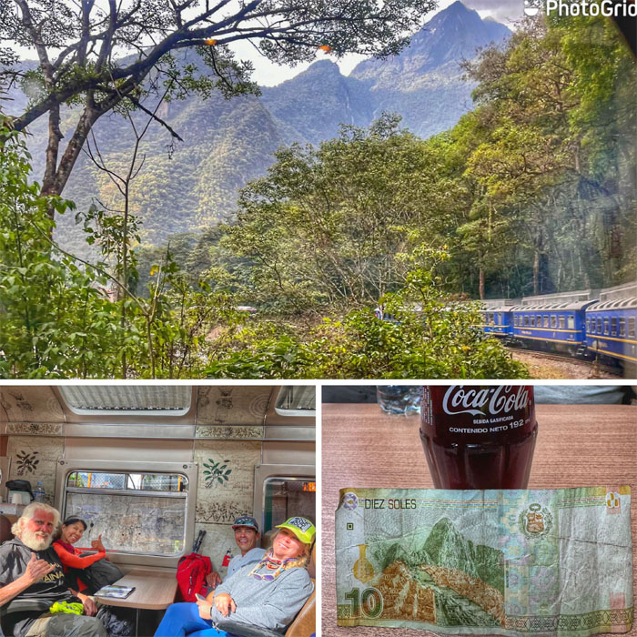
Enjoying our roughly 2 1/2 hour ride on the train through the countryside and enjoying my favorite beverage as well. I even got a 10 Sol note in change that had Machu Picchu on it.
Somebody noticed the train wasn’t scheduled to stop where we needed to get off. We finally convinced the conductor to have the train stop after signing waiver forms, where we got picked up by Jose and his brother who dropped us off at our hotel.
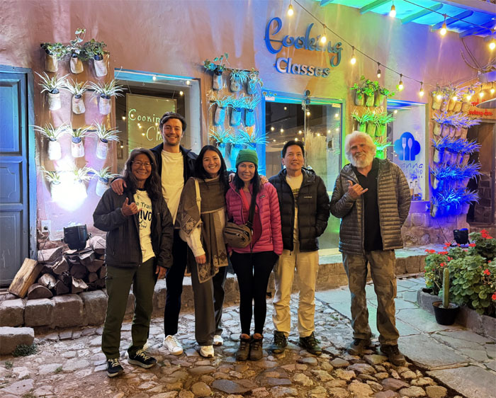
Met up with Tim and Evy for some much needed medium rare protein, the tomohawk cut took backseat to much needed massage time for a certain individual. I guess you can’t have your steak and eat it too.
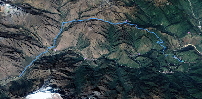
Our four-day hike covered 24.56 miles through different ecozones and environments and impressive ancient Inca ruins along the way that was done with a solid group that made the miles melt away. Thanks to our guides and porters that made the hike much more manageable and enjoyable for our group.
Photos taken by Aida Gordon, Chico Cantu, Deborah Tom, Mari Saito, Matt Vidaurri, and yours truly. Not necessarily in order.
Note: I have been made aware that some hikers have been using my blog as a hiking guide and getting lost on the trails. Please note that this blog was made to document the hike for the crew(s) that did it. That is why some of my comments will seem to have no relevance or meaning to anybody outside of the crew(s) that hiked that trail. My blog was never meant as a hiking guide, so please do not treat it as such. If you find inspiration and entertainment from these hikes, that is more than enough. If you plan on replicating these hikes, do so in the knowledge that you should do your own research accordingly as trail conditions, access, legalities and so forth are constantly in flux. What was current today is most likely yesterdays news. Please be prepared to accept any risks and responsibilities on your own as you should know your own limitations, experience and abilities before you even set foot on a trail, as even the “simplest” or “easiest” of trails can present potential pitfalls for even the most “experienced” hikers. One should also always let somebody know of your hiking plans in case something doesn’t go as planned, better safe than sorry.









{ 0 comments… add one now }