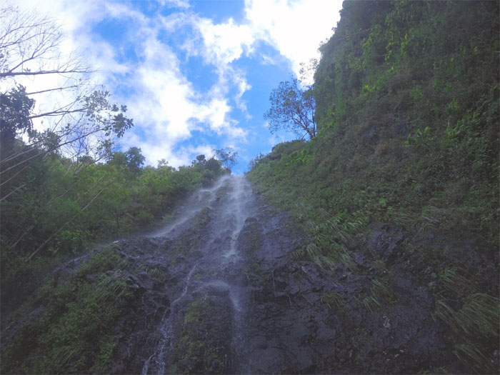
A heavy soaking the day before forced us off the ridges into a valley deep in Waianae. Met up with Chris, Ethan, Huckett, Khym, Ryan, Shirley, Tina and Yoly at the crowded trailhead. Let’s make sure everybody goes with the right group now. Photo by Khym Ansagay.
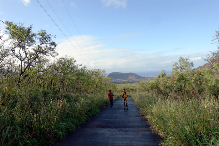
Chris and Khym coming up the road that has few fans.
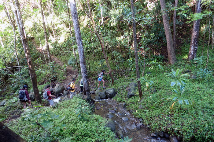
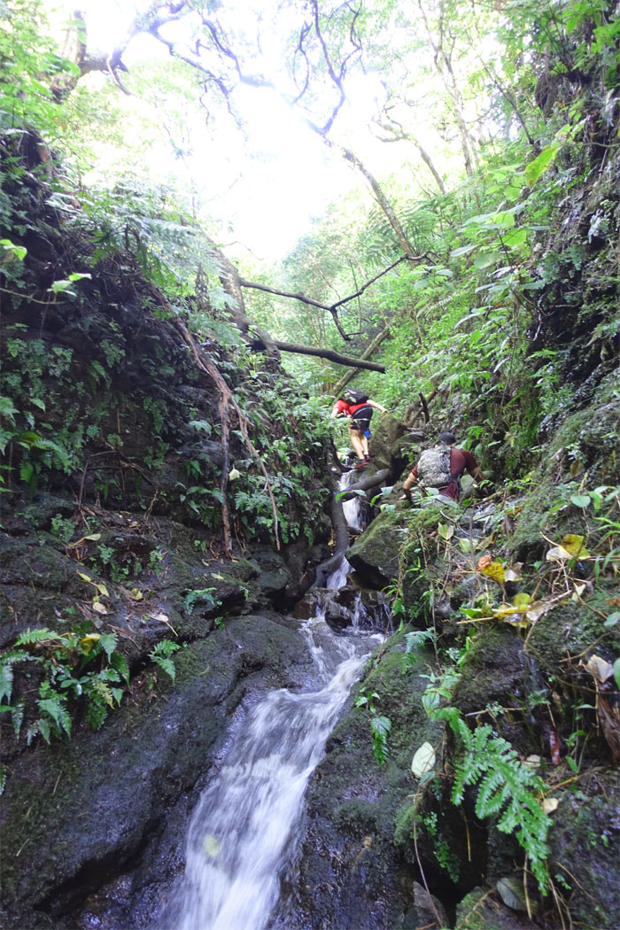
We dropped down from the trail and followed Ka’ala Stream like so much spawning tilapia.
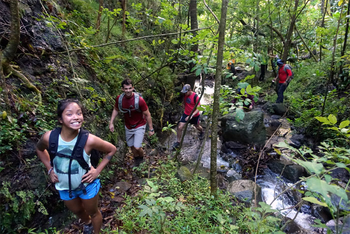
Hiking through the lush and verdant valley.
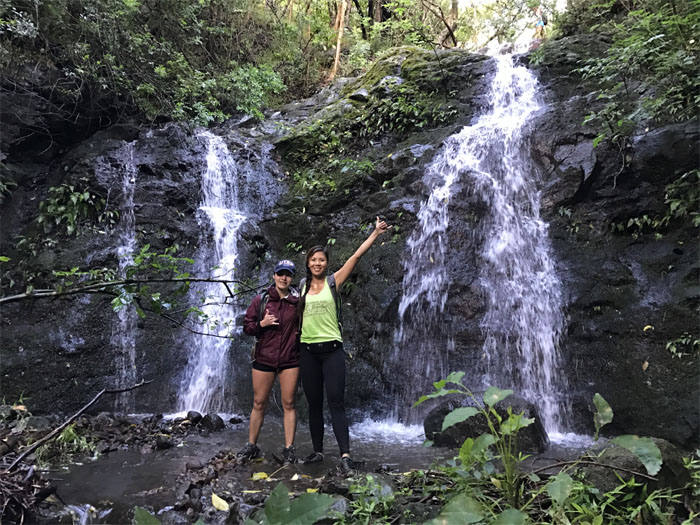
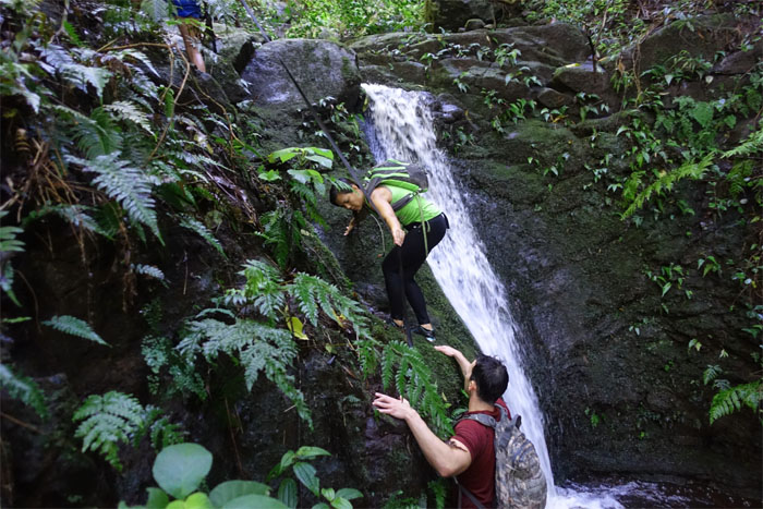
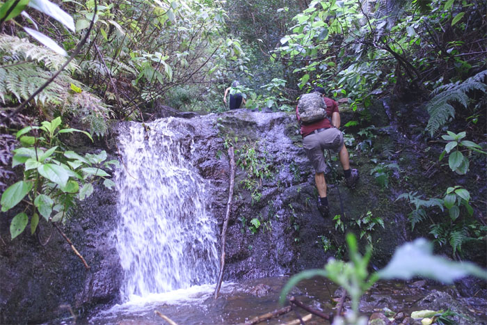
Yoly and Shirley at the first multi-waterfall. Photo by Chris.
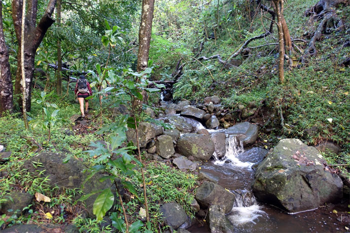
Tina with her trademark smile, at one of many stream crossings.
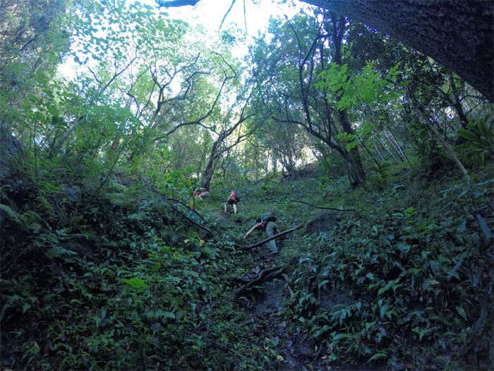
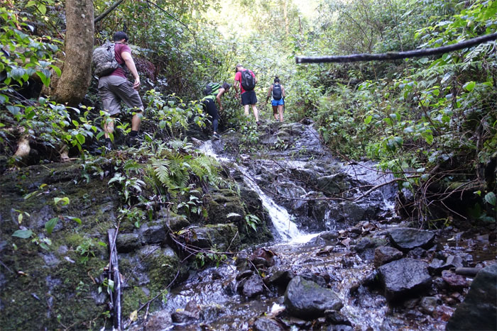
Climbing and contouring our way up. Photo by Khym Ansagay.
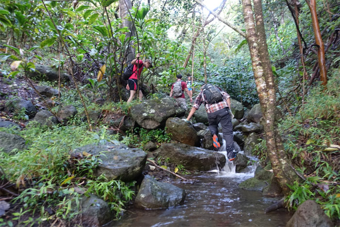
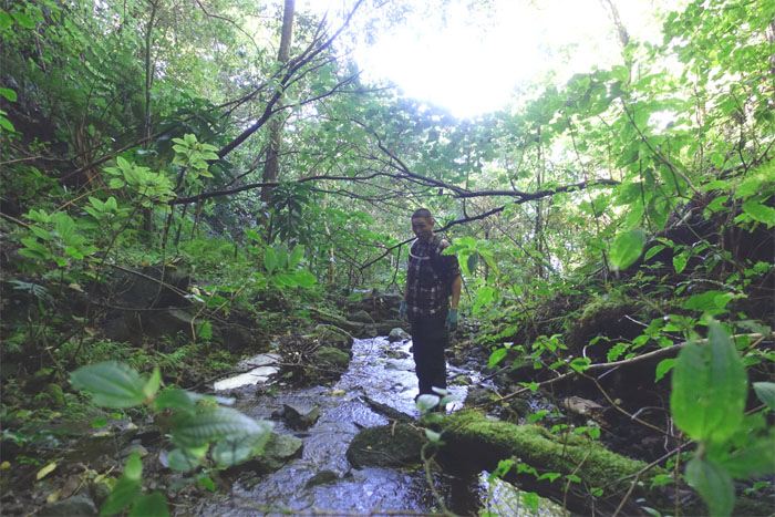
Sometimes it’s just easier to walk in the water.
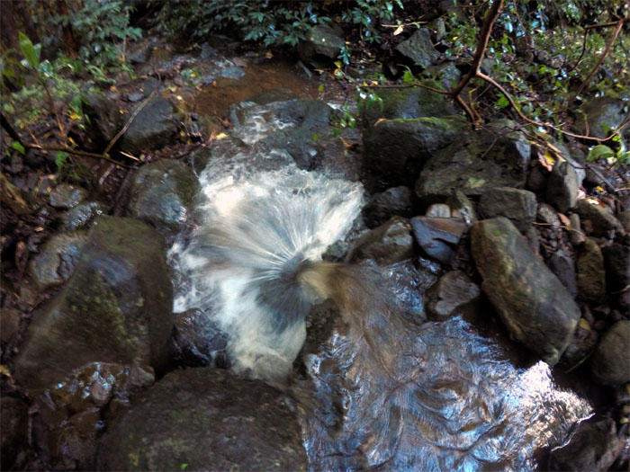
The water fanning out before it hits rock bottom. Photo by Khym Ansagay.
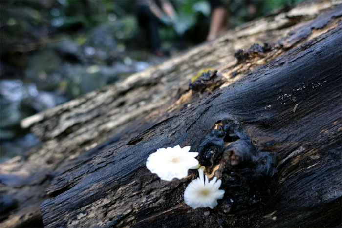
To eat or not to eat.
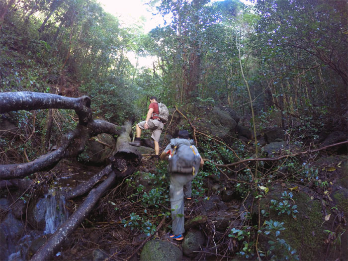
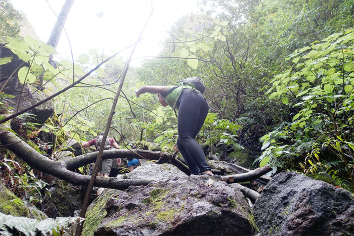
Ryan making his way around one of the fallen trees. Photo by Khym Ansagay.
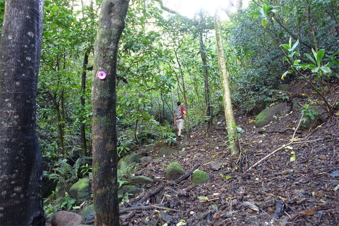
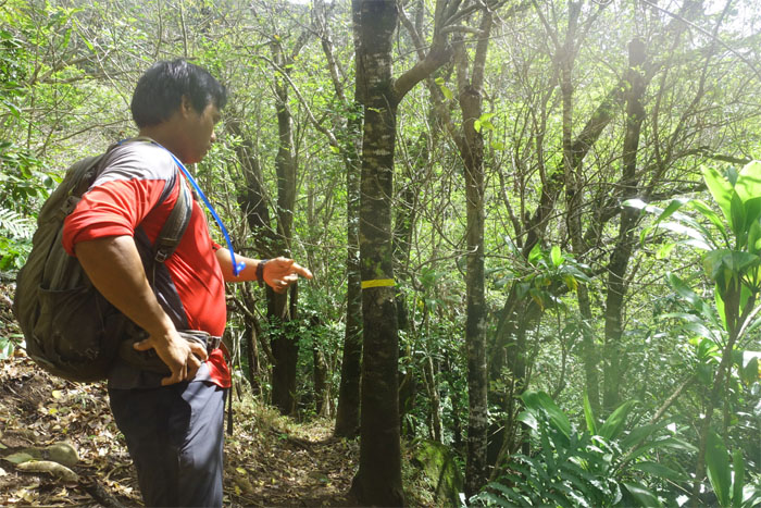
Color coded bottle caps marked the trail. Pink was the color of this trail.
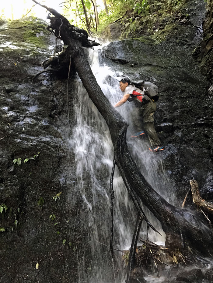
That fallen tree looks solid and sturdy. Only one way to find out. Photo by Khym Ansagay.
Time to get wet. Just add soap and shampoo. Photo by Tina Corpuz.
Need spikes? You have to fish them out from the the stream first.
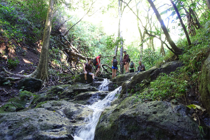
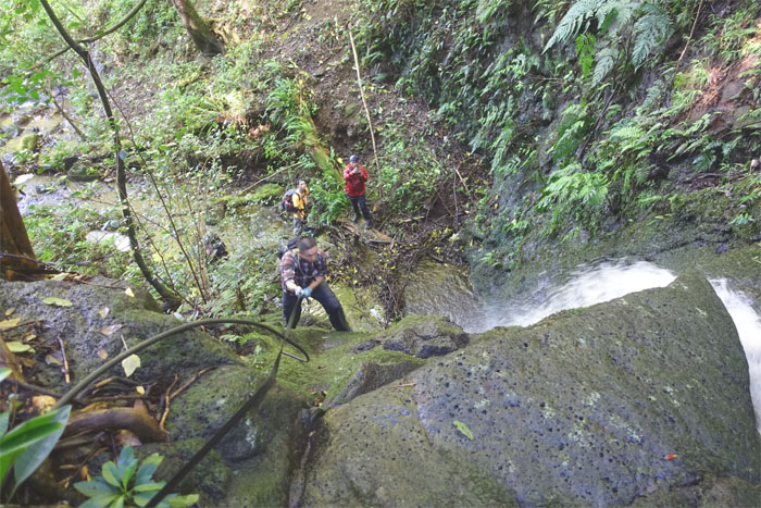
The rest of the group waiting at the top of the waterfalls.
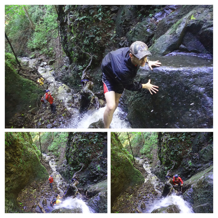
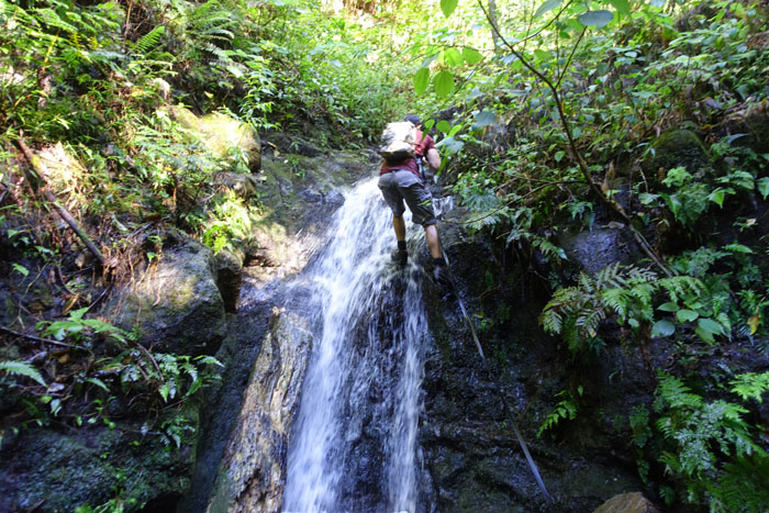
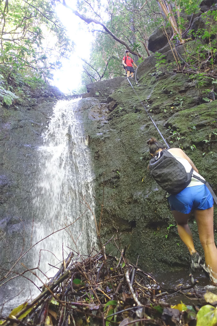
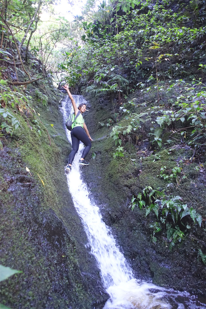
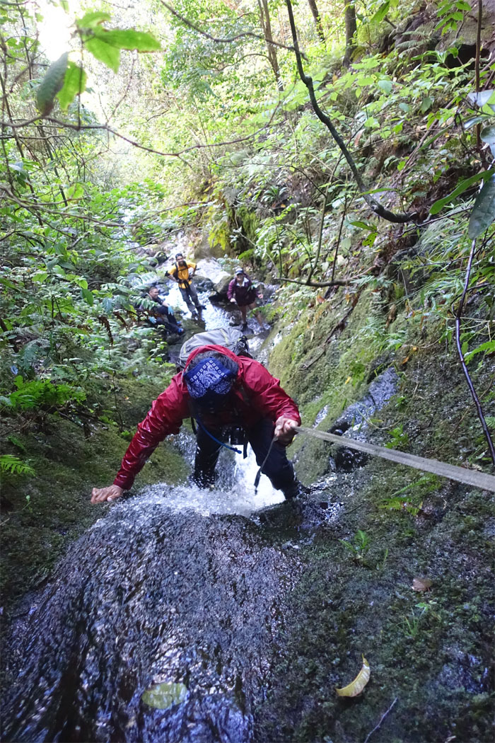
Going against the flow.
Pass me that webbing since you’re not going to wait for me.
These spikes sure do come in handy.
Want your spikes back?
Tina about to climb up.
Ethan making his way up.
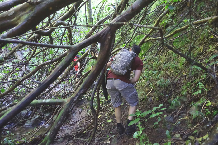
Ryan ducking under the fallen tree branches.
Does this count as a waterfall? Maybe not.
Ryan catching up with his friend.
Shirley sharing her shaka with the rest of us at the bottom.
Chris scrambling up. The pool at the base of the waterfall was quite deep. Just ask Ethan.
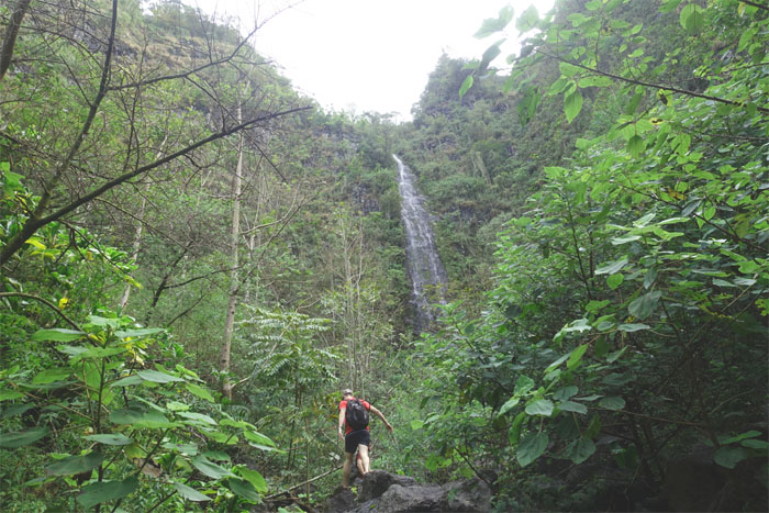
Almost there.
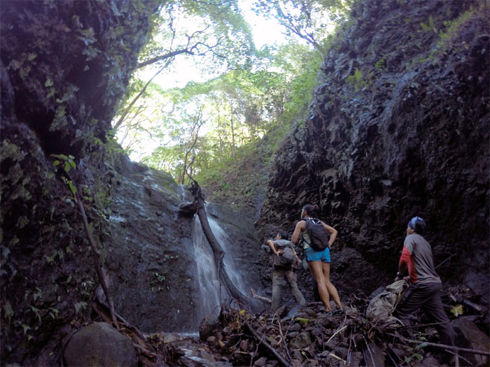
Huckett approaching the roughly 200′ waterfall.
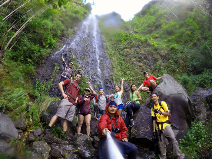
Group photo left to right: Ethan, Ryan, Yoly, myself, Chris, Tina, Shirley, Huckett and Khym.
Yoly standing on a ledge in the waterfall. Hiker see, hiker do. Tina, Huckett and Chris soon followed. Don’t mind the raining rocks. Best to bring a helmet.
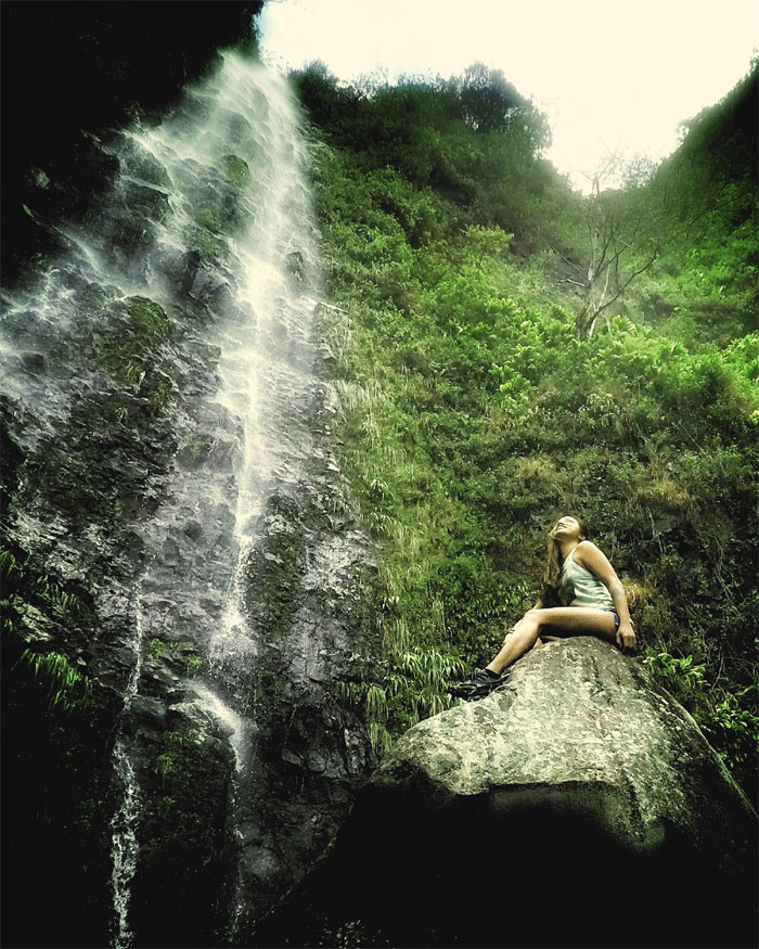
The correct way to pose on a rock underneath a waterfall. Photo by David Huckett.
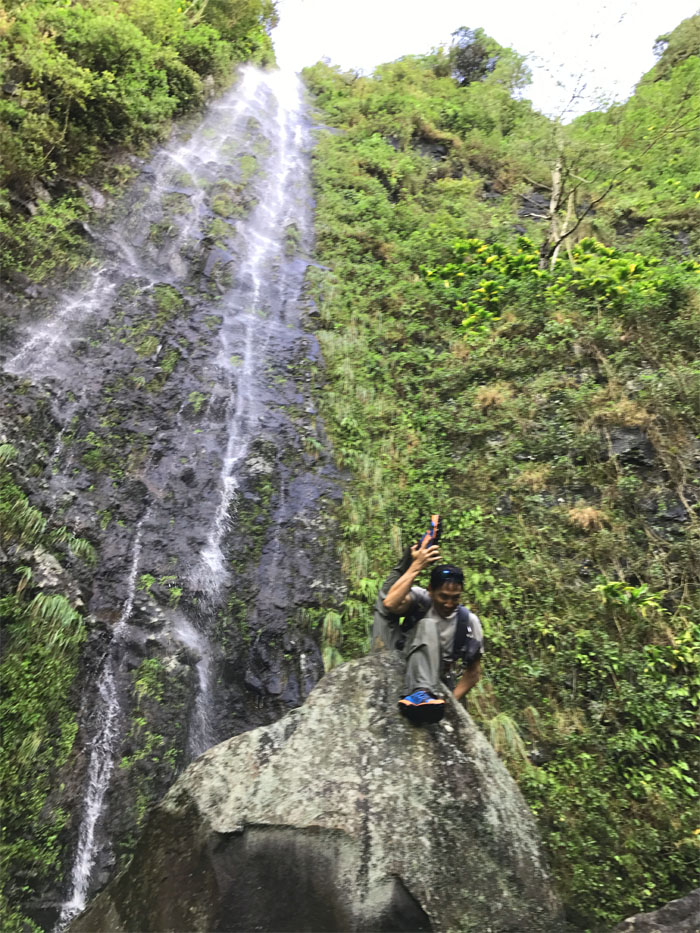
The wrong way. Photo by Shirley.
We took the fast way down the ridge instead of returning the way of the waterfalls. Looks like this is part of the Ramble Trail.
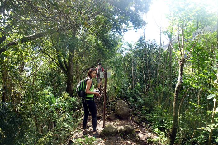
Shirley back at the sign, looking for her friend.
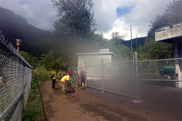
Some used the murky water to wash off their spikes and others drank it.
Our group count dwindled by three as shoes were wet and chores had to be done, so the rest of us drove to the other side of the island.
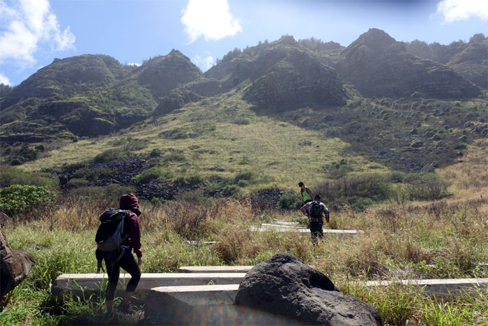
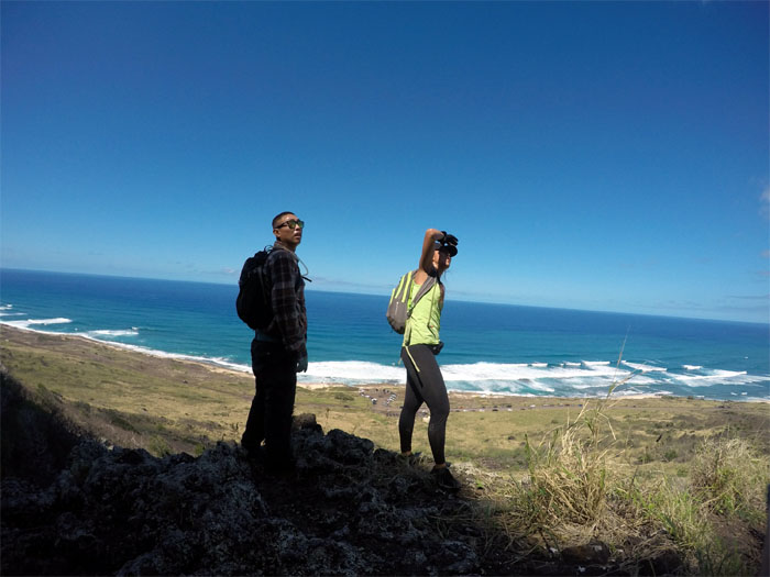
It was hot as heck as we made our way over the concrete pilings. Which begs the question. Why is Yoly wearing her jacket?
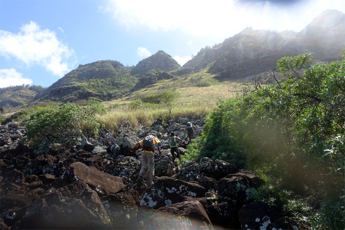
Transitioning from concrete piles to boulders. All we were missing was the water.
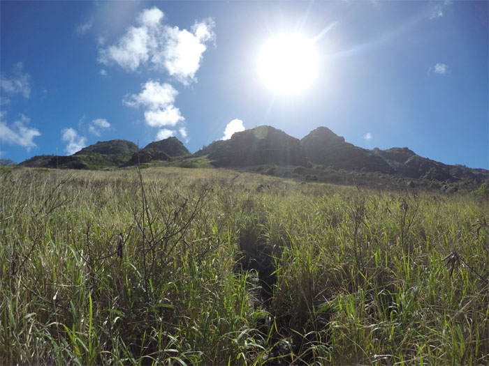
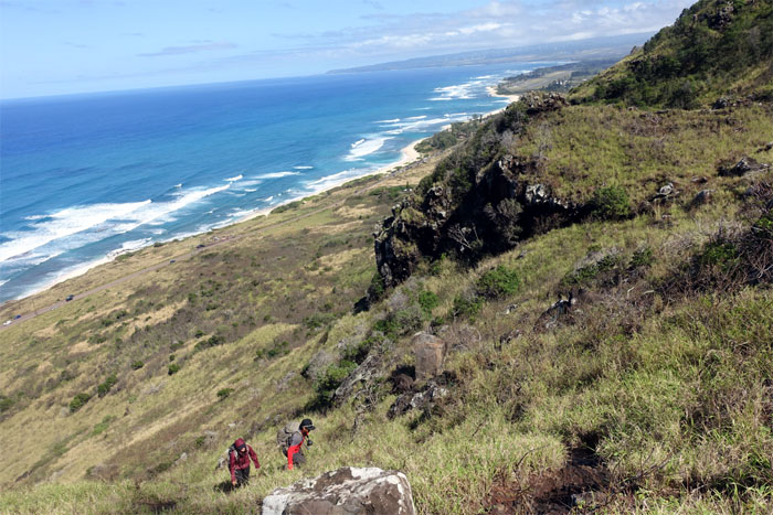
Rustling through shoulder high grass. Photo by Khym Ansagay.
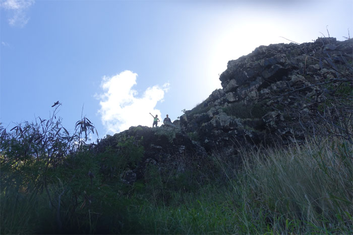
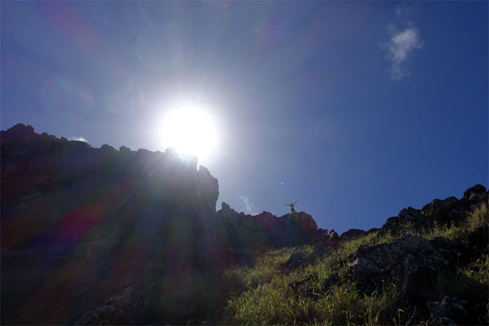
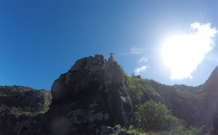
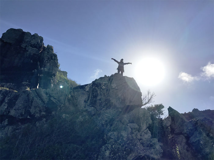
Hello from the top.
I think we go that way. Photo by Khym Ansagay.
The rocks up here were surprisingly wet from the water seeping from the top. Why is Yoly still wearing her jacket in the blazing sun?
Shirley and the sun.
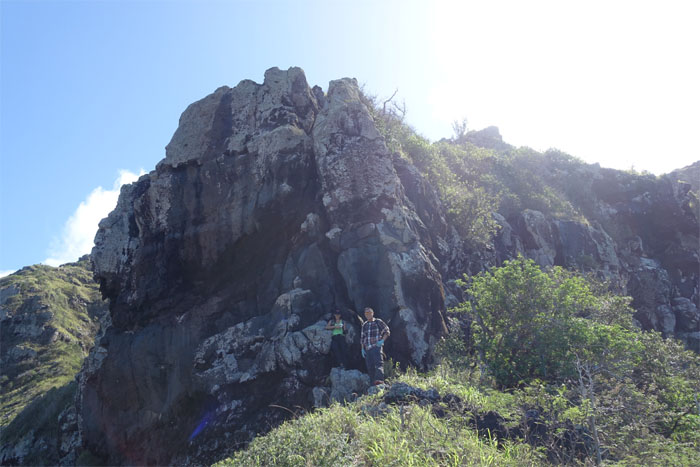
We’ll be back to get all up in that crack.
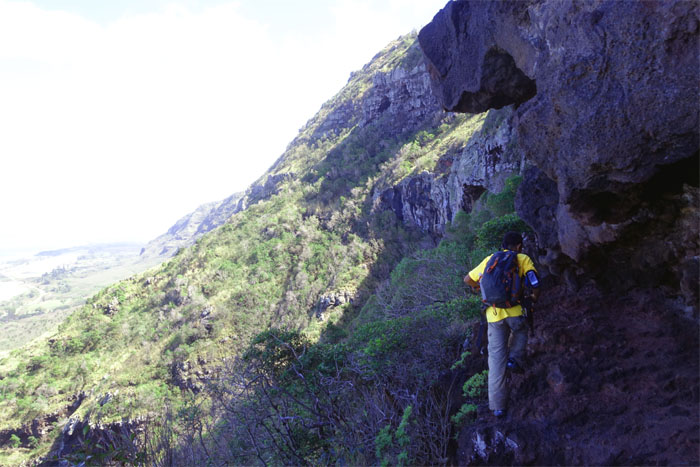
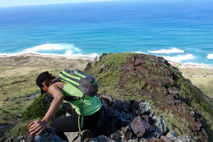
Khym making his way along the edge of the cliff.
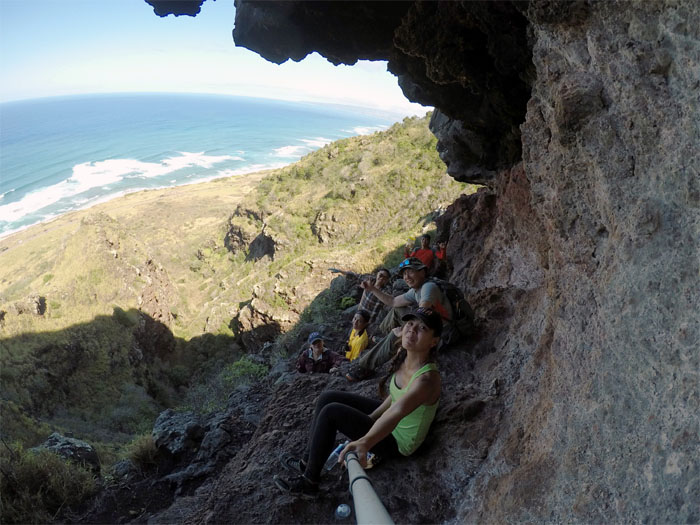
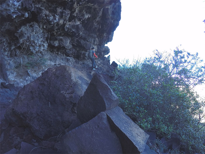
Half a cave is better than no cave.
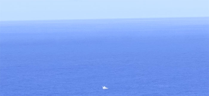
Shirley passed her chili cheese fritos around as we had a cave side seat to a whale that was breaching offshore.
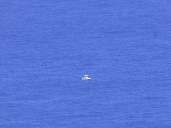
Look down in the water! It’s a … boat. Photo by Chris.
Chris and Shirley making their way between the contrasting sheared smooth and cracked crumbly rocks. Photo by Khym Ansagay.
Hey there’s a rope around the corner. Photo by Khym Ansagay.
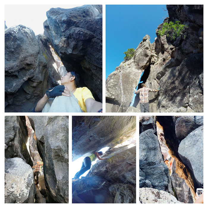
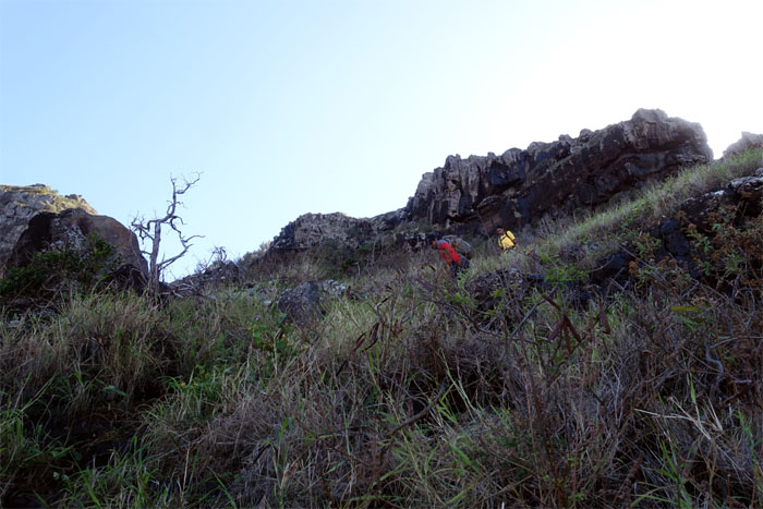
Climbing and crawling up and through the crack.
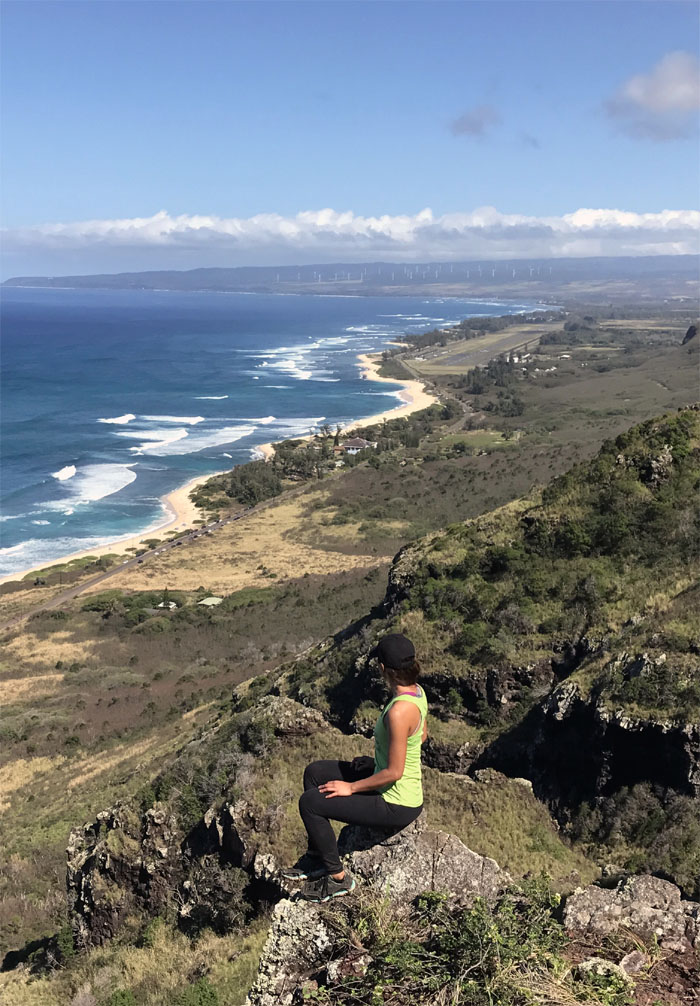
Shirley perched on the rocks, looking out all the way to Pupukea. Photo by Chris.
Time to make our way back down.
Yoly and the sun.
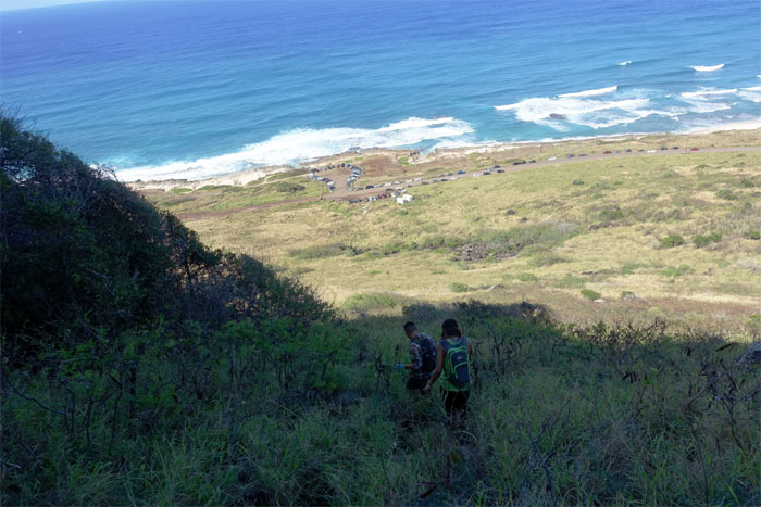
Chris and Khym making their way down.
Enjoying the shade while it lasted on our way back down.
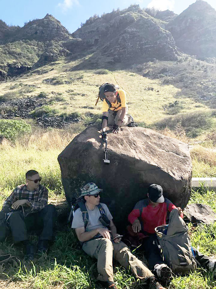
Some of us sought shelter from the sweltering sun and the stalking paparazzi. Others looked for their phone. Photo by Yoly Bedford.
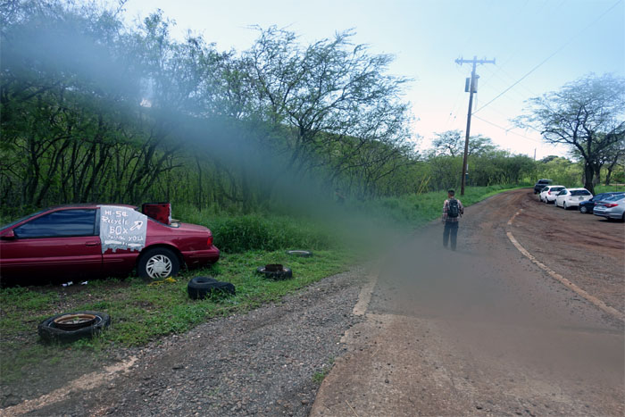
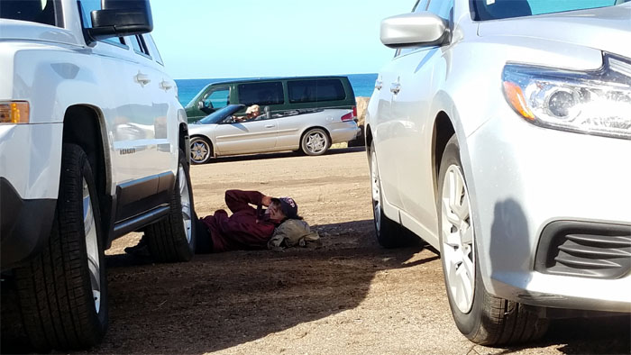
Yoly sought shade under a parked car.
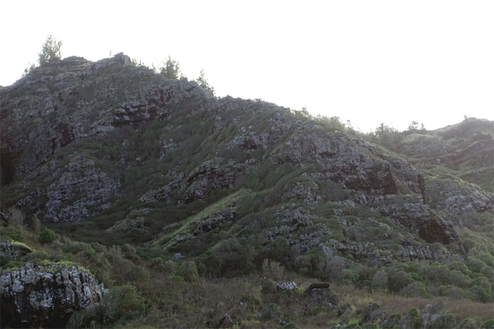
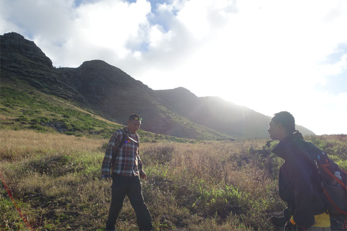
You guys go that way and we’ll go our way. The bushwhacking way.
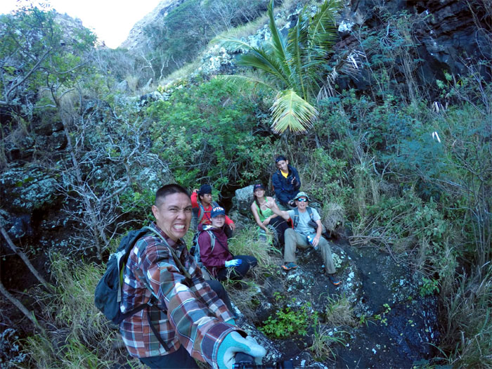
Wrong gulch. It wasn’t a total bust. We got to see a coconut tree. No coconuts. Well, maybe it was a bust. Photo by Ethan Clavecillas.
Passing by one of several camouflaged bunkers that dot the foot of the cliffs.
Maybe the gulch is that way?
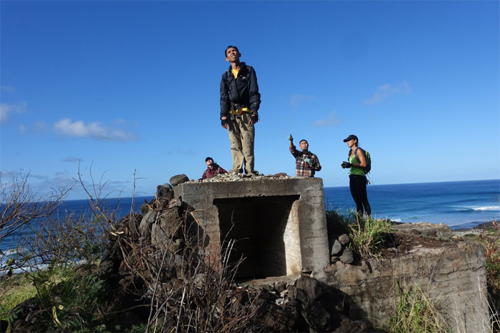
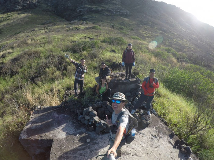
Group photo at the bunker.
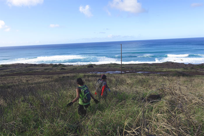
The way back to the road was a whole lot easier than going in.
Half of the group went scouting. Thanks for the invite.
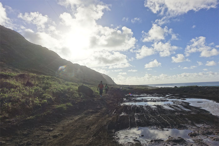
Making our way back on the muddy road.
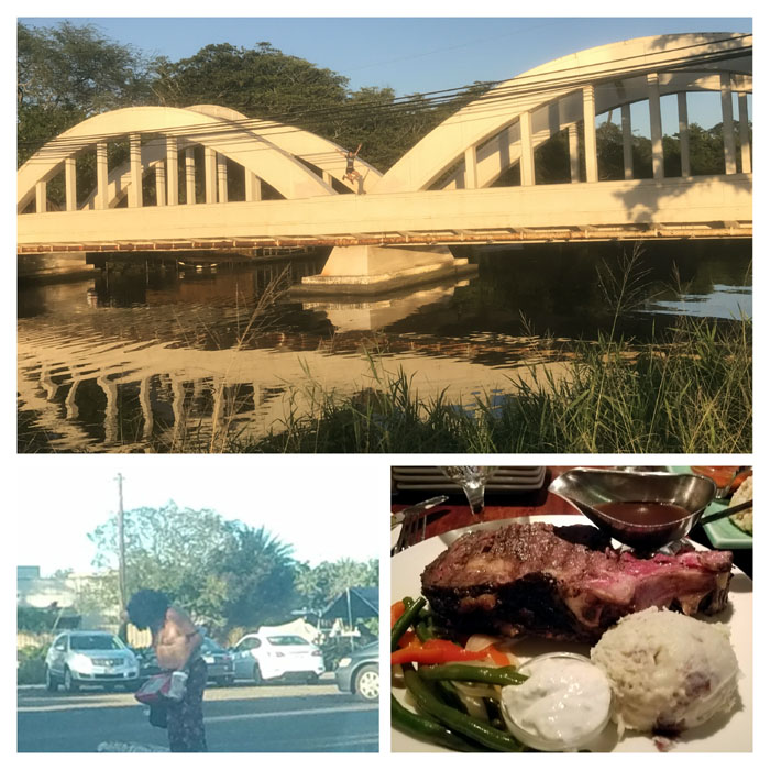
Fun day exploring both sides of the island with great and special friends. We made our way to the bustling and commercialized town of Haleiwa where we spotted Bu La’ia out of retirement and a jumper on the bridge. Both did not look successful. Post hike meal at Haleiwa Joe’s. Chris finally got his prime rib.
Note: I have been made aware the some hikers have been using my blog as a hiking guide and getting lost on the trails. Please note that this blog was made to document the hike for the crew(s) that did it. That is why some of my comments will seem to have no relevance or meaning to anybody outside of the crew(s) that hiked that trail. My blog was never meant as a hiking guide, so please do not treat it as such. If you find inspiration and entertainment from these hikes, that is more than enough. If you plan on replicating these hikes, do so in the knowledge that you should do your own research accordingly as trail conditions, access, legalities and so forth are constantly in flux. What was current today is most likely yesterdays news. Please be prepared to accept any risks and responsibilities on your own as you should know your own limitations, experience and abilities before you even set foot on a trail, as even the “simplest” or “easiest” of trails can present potential pitfalls for even the most “experienced” hikers.



{ 2 comments… read them below or add one }
How long was the Kaala Falls Kenji?
Aloha Ani,
I believe It was a couple hours as we took the stream up, if you take the ridge path, it’s much faster, probably by half.
Mahalo