
Tessa came out of her self-imposed semi-retirement to see her significant other complete the Waianae Summit Trail today.
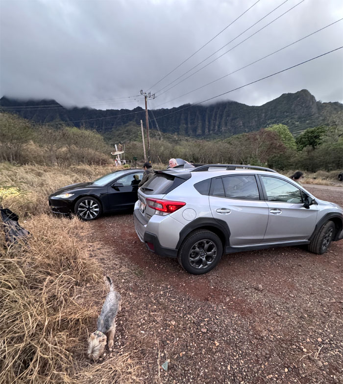
Waianae Valley
Mahalo to Lilia and Kenny for dropping us off in the remote valley that was once home to taro, cattle and sugarcane. Now it’s home to the occasional chronic, abandoned cars and stray dogs.
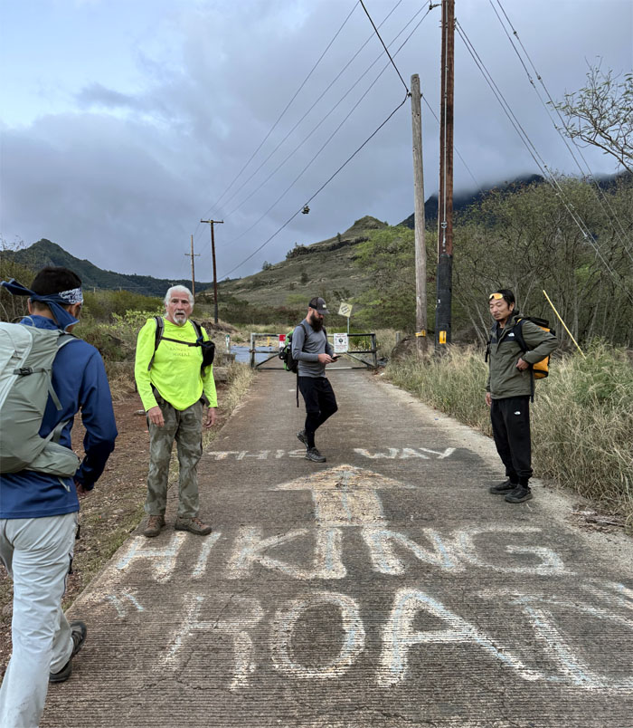
Waianae Kaala Road
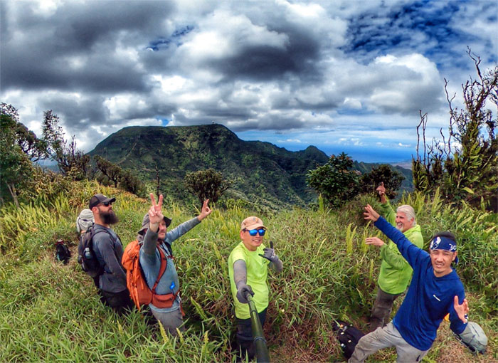
I guess we follow the arrow for the group photo and the hiking trail.
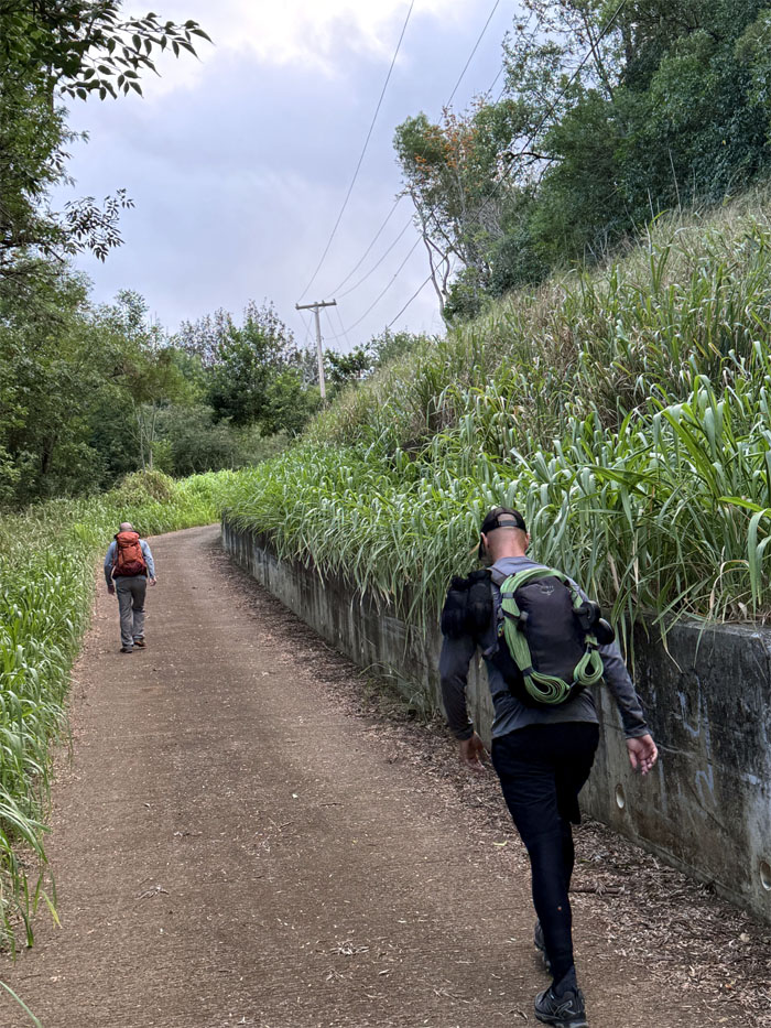
Waianae Kaala Road
Walking this road will never grow on me.
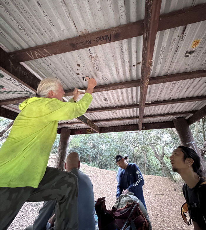
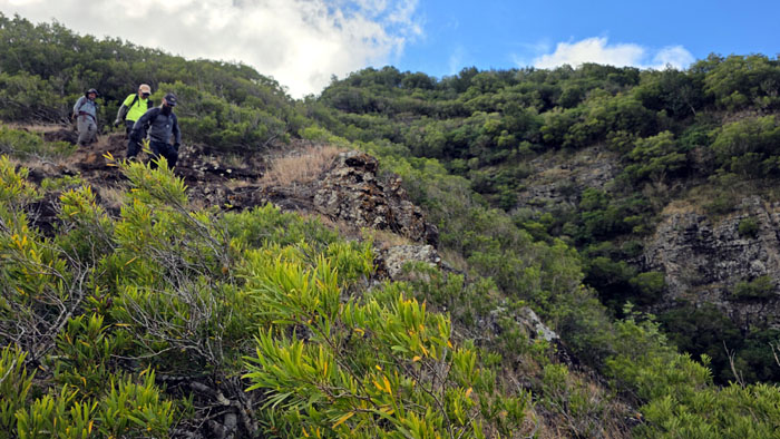
Waianae Kaala Trail
Some use pens. Others use stickers.
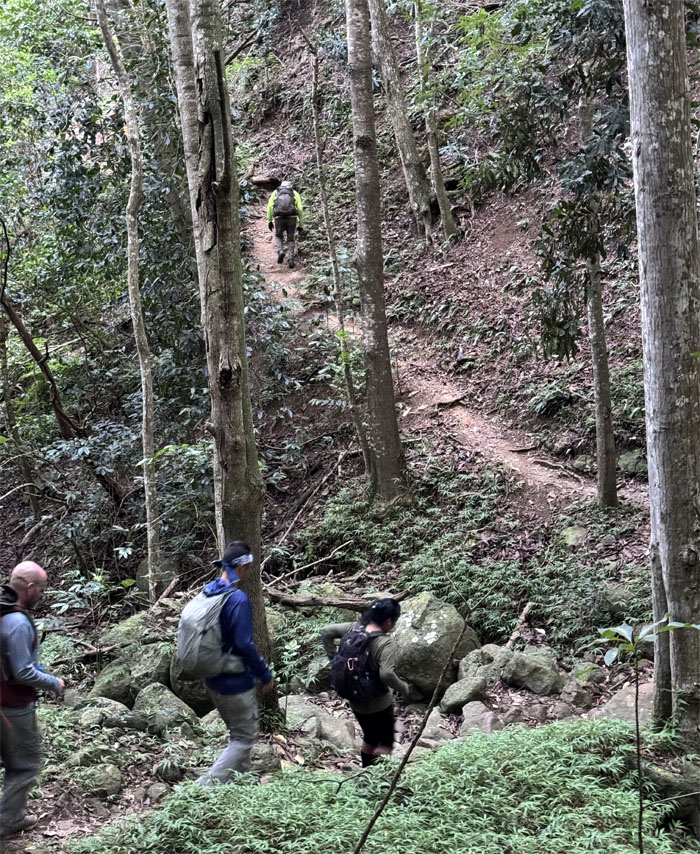
Waianae Kaala Trail
Crossing the dry streambed into the valley.
Waianae Kaala Trail
Taking a standing break after the short cardio climb up the hill.
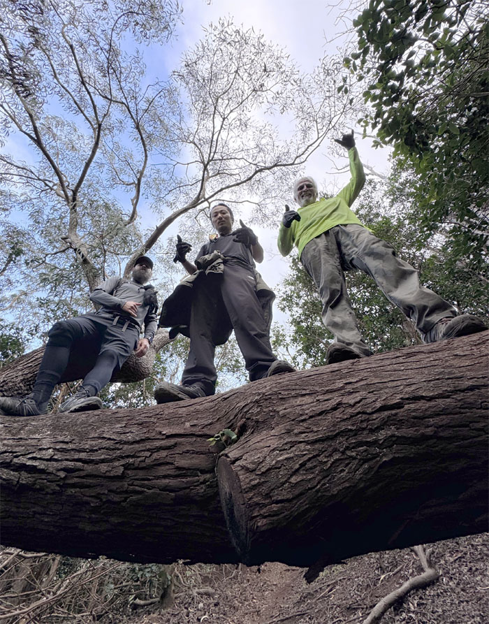
Waianae Kaala Trail
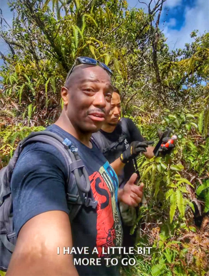
Bolohead meets bolohead.
Waianae Kaala Trail
West side is the best side. Except when chronics come calling. Kenny was getting alerts from his Tesla indicating that his car was getting some unwanted advances from a nearby chronic.

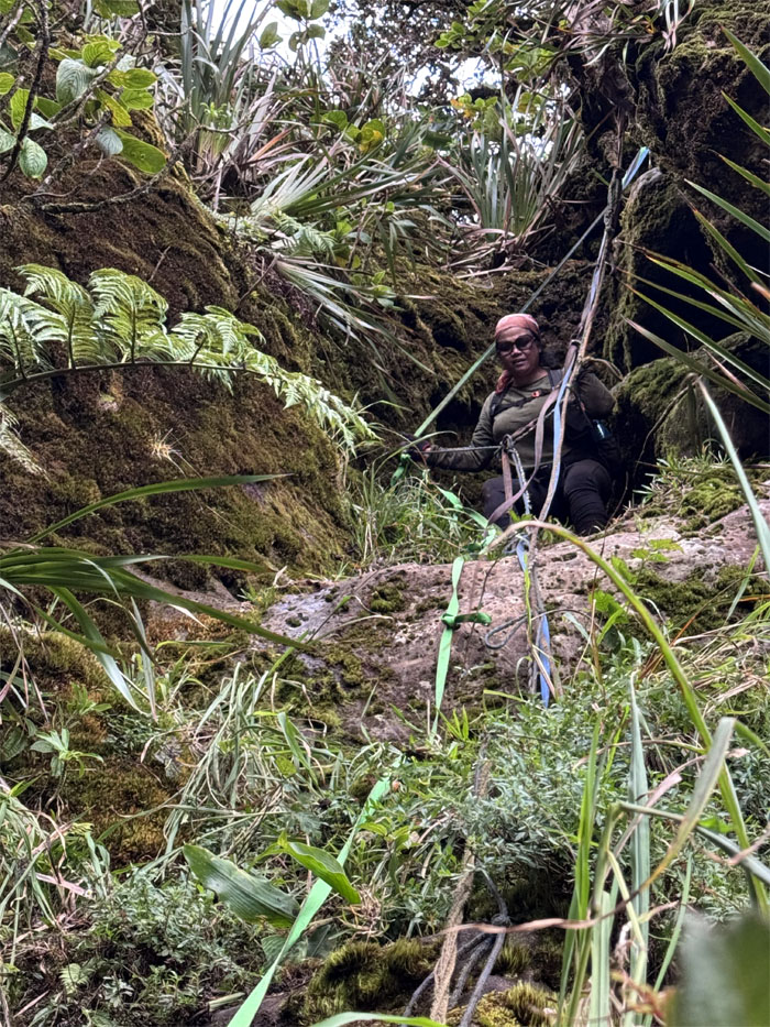
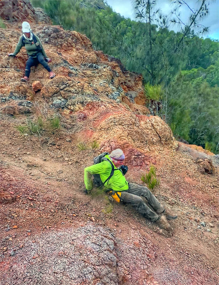
Waianae Kaala Trail
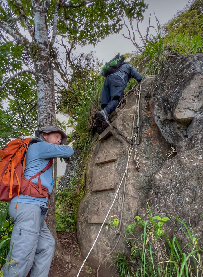
No rope. No hope. Don’t be a dope.
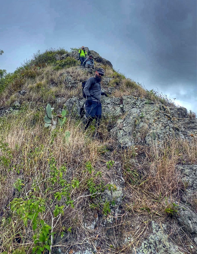
Waianae Kaala Trail
Kenny soaking in the realization that this was the highest he has climbed to date. Only 800′ more feet to go!
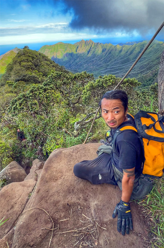
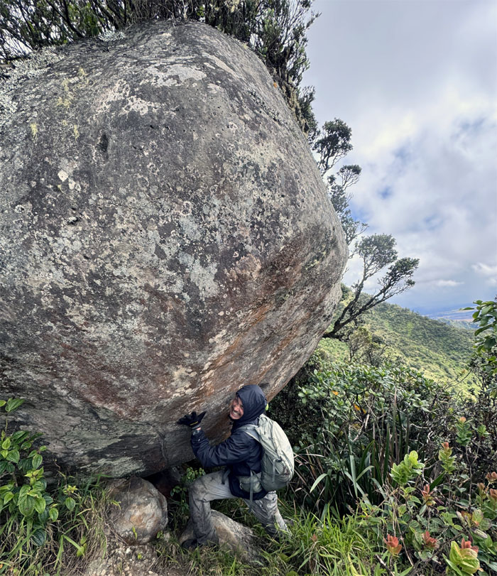
Waianae Kaala Trail
Props to the peeps that carried power tools and composite steps to attach them to this boulder. While not absolutely necessary, it does make the climb easier.
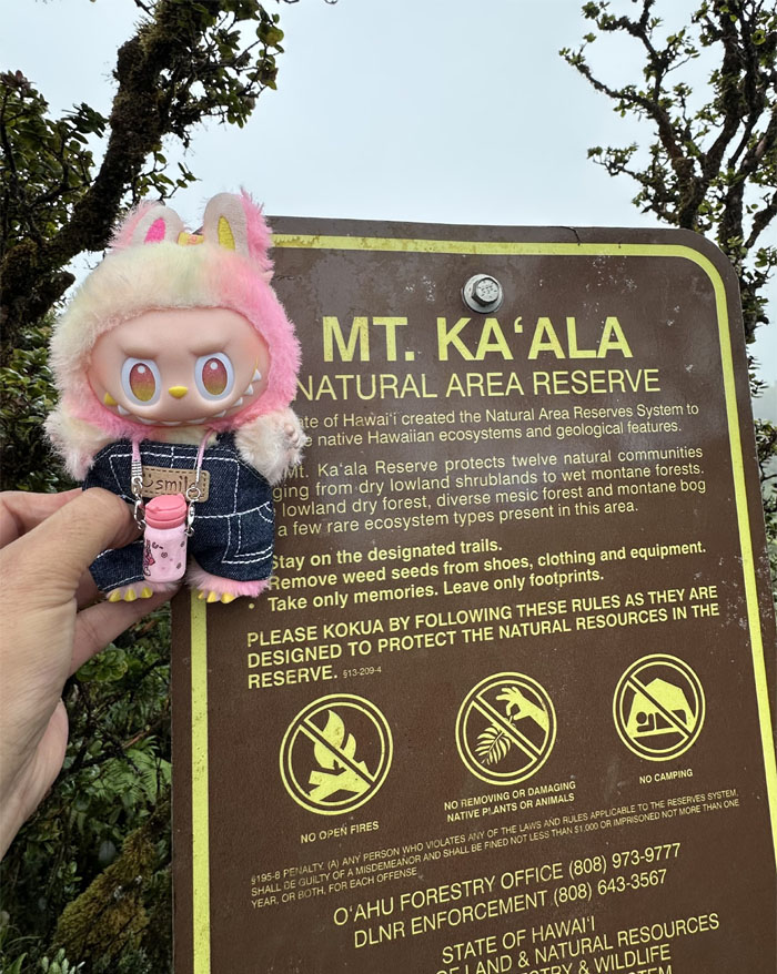
Mount Ka’ala
Kuli at the entrance to the 1,100 acres of ecosystems that harbors multiple native plants and animals.
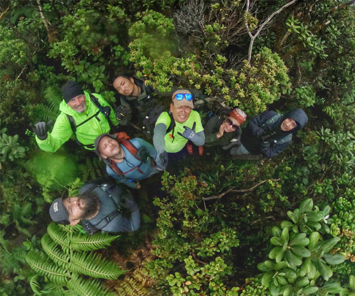
Mount Ka’ala
Group photo on part of the boardwalk that extends roughly 3/4 mile through the Ka’ala bog. We parted ways with Kenny who went on to terminate at the end of trail sign.
Mount Ka’ala
Kenny bumped into @blaquekangaroo on his way to the summit, a social media influencer on IG.
Mount Ka’ala
Picking our way through the faint and flagged trail.
Mount Ka’ala
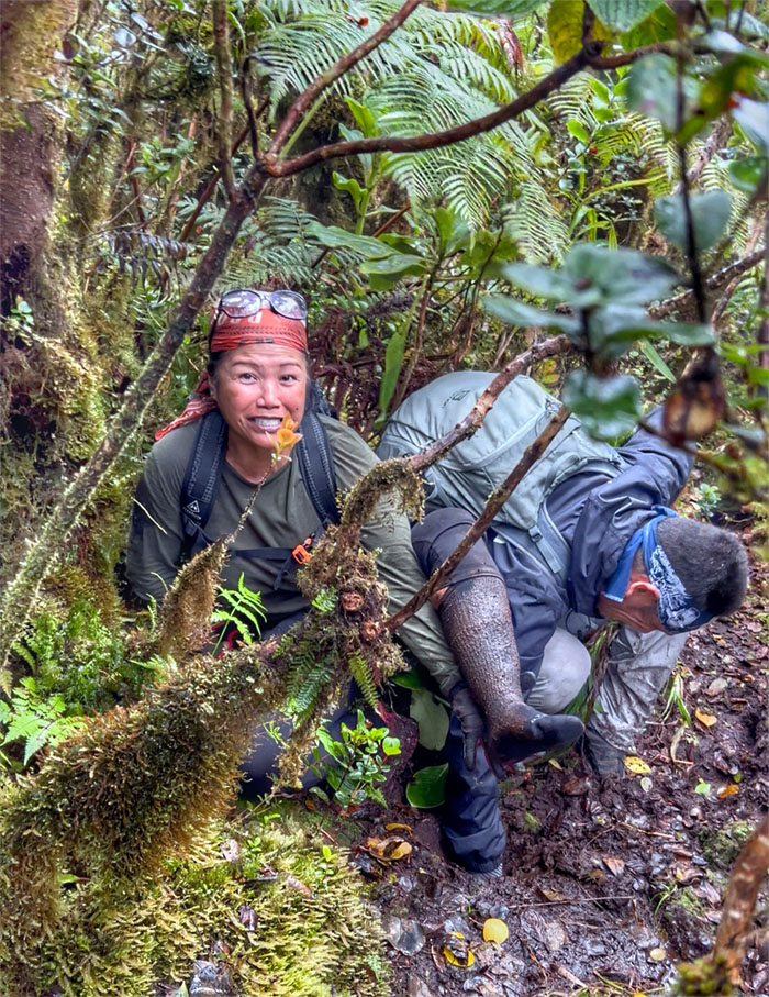
Sole sucking mud seemingly waited for us at every turn on the path. Just ask Akira, who had to go fishing for Tessa’s shoe.
Mount Ka’ala
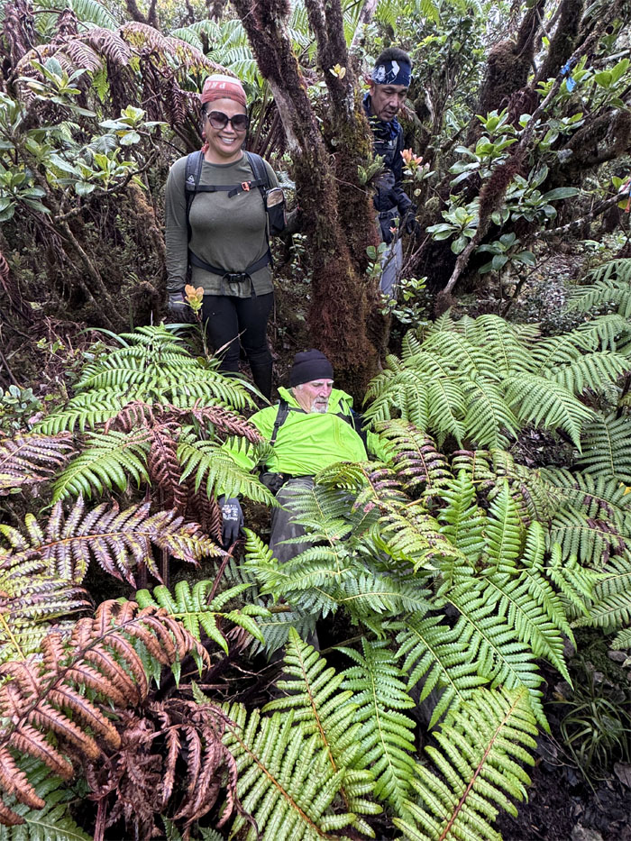
Man down!
Mount Ka’ala
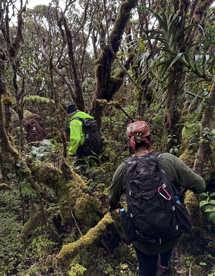
Working our way through the moss encrusted stunted plant life.
Mount Ka’ala
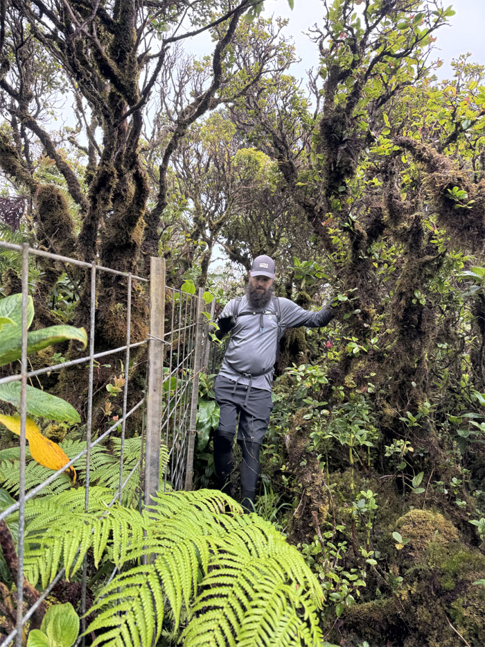
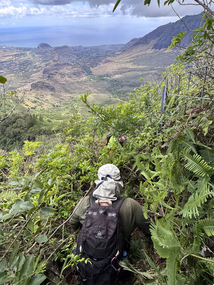
Contact with the fence line that soon lead us off the highest point on the island.
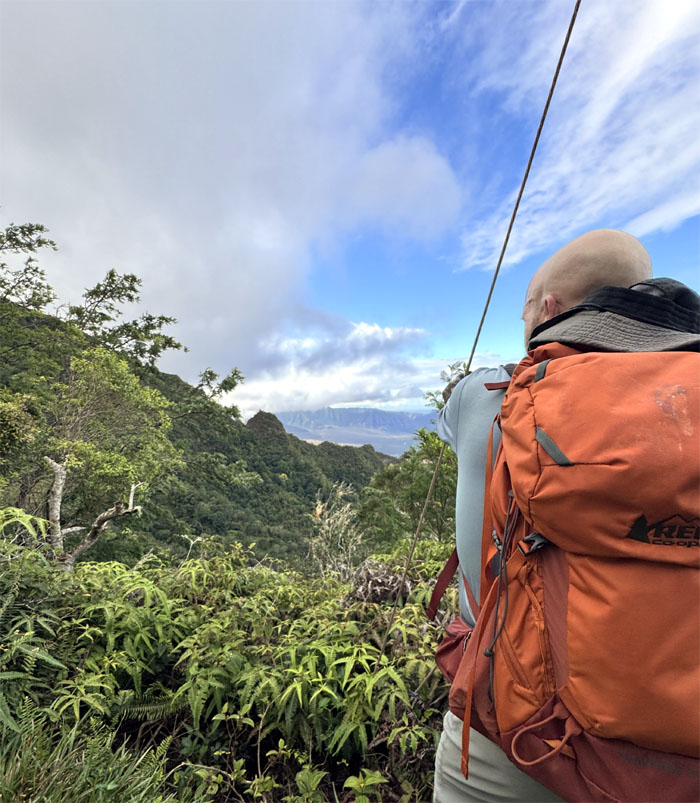
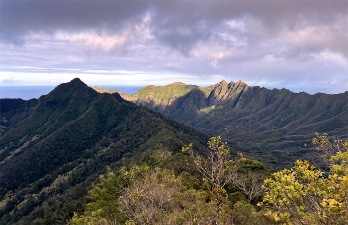
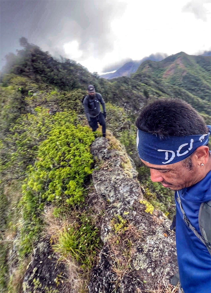
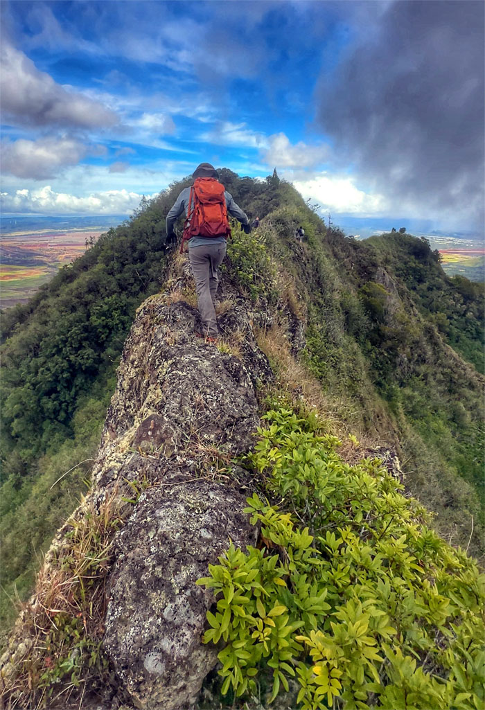
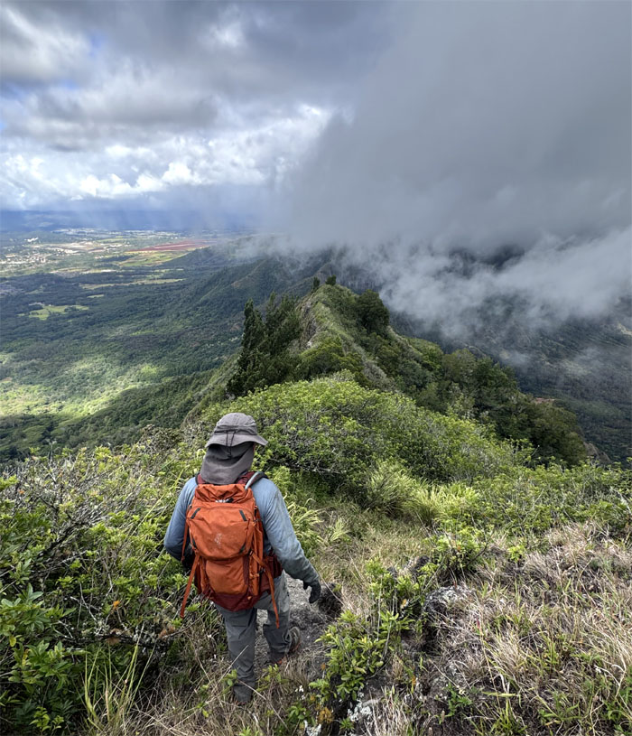
Waianae Summit Trail (WST)
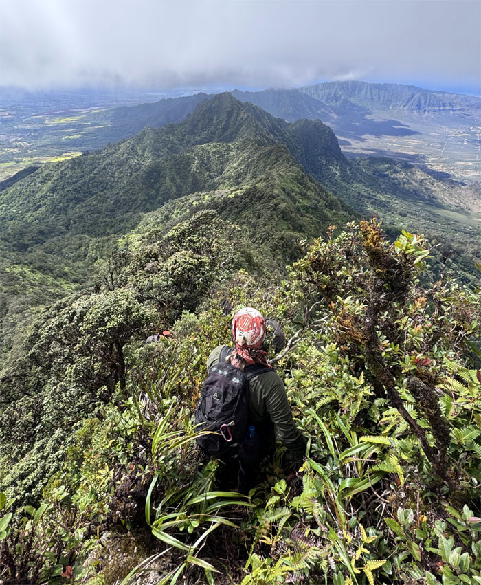
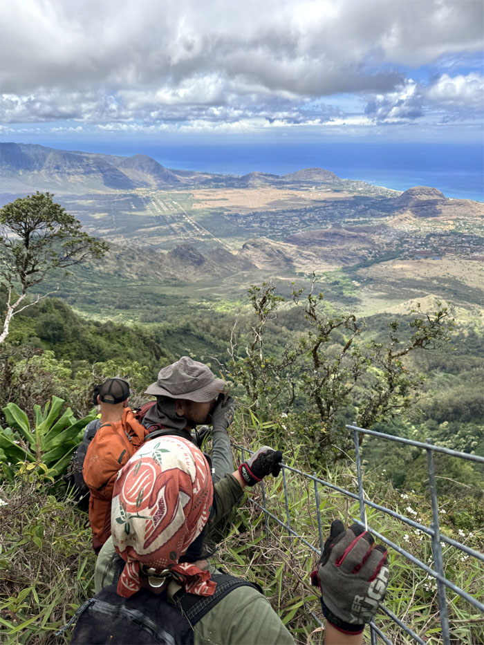
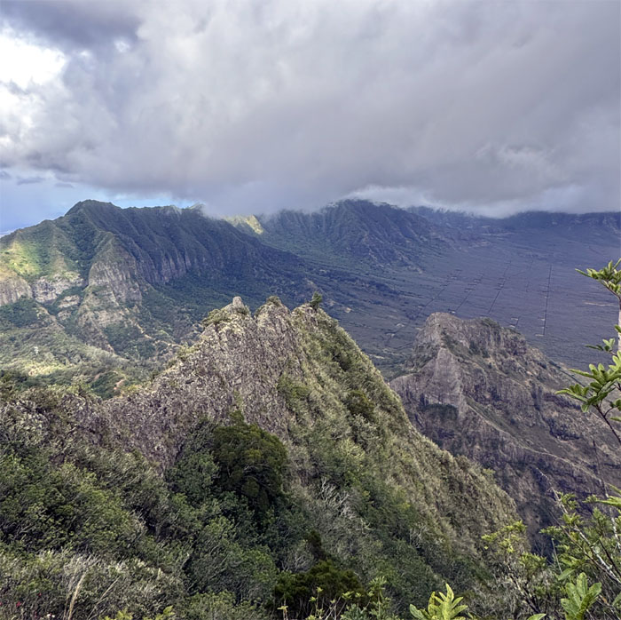
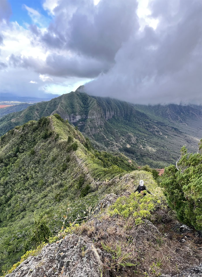
Breaking out briefly on the ridge line that afforded expansive views of the Waianae Mountain Range and points beyond.
WST
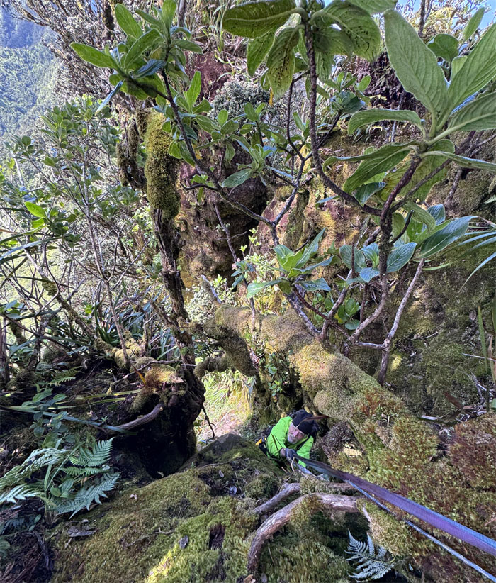
You never let go of the ropes. Wise advice. Especially from somebody that just broke a tree branch as he was descending down the moss slicked boulders. This gave somebody else second thoughts but luckily it was just a fleeting one at that.
WST
Last one down.
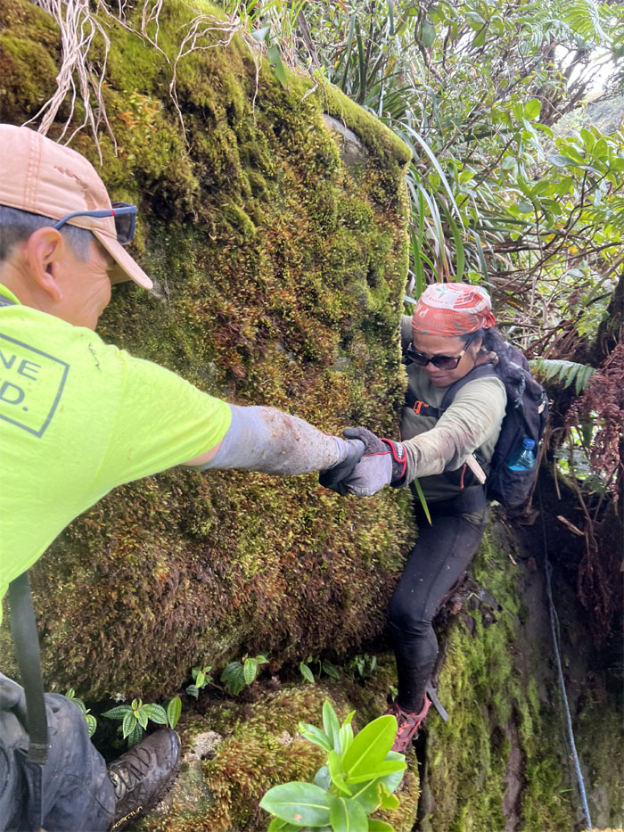
WST
Helping hand at the leap of faith.
WST
Taking the direct route instead of the contour trail. Occam’s razor.
WST
The weight of the world was on Akira’s shoulders. Or at least a small piece of Waianae.
WST
The grass smells better on the other side of the fence line.
WST
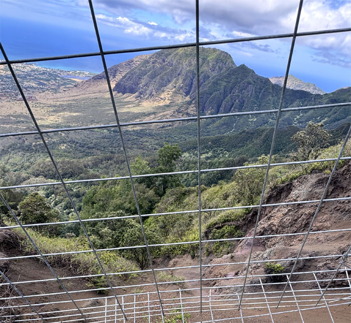
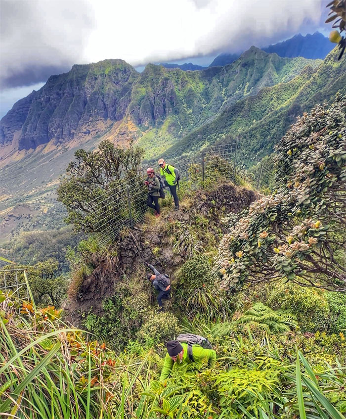
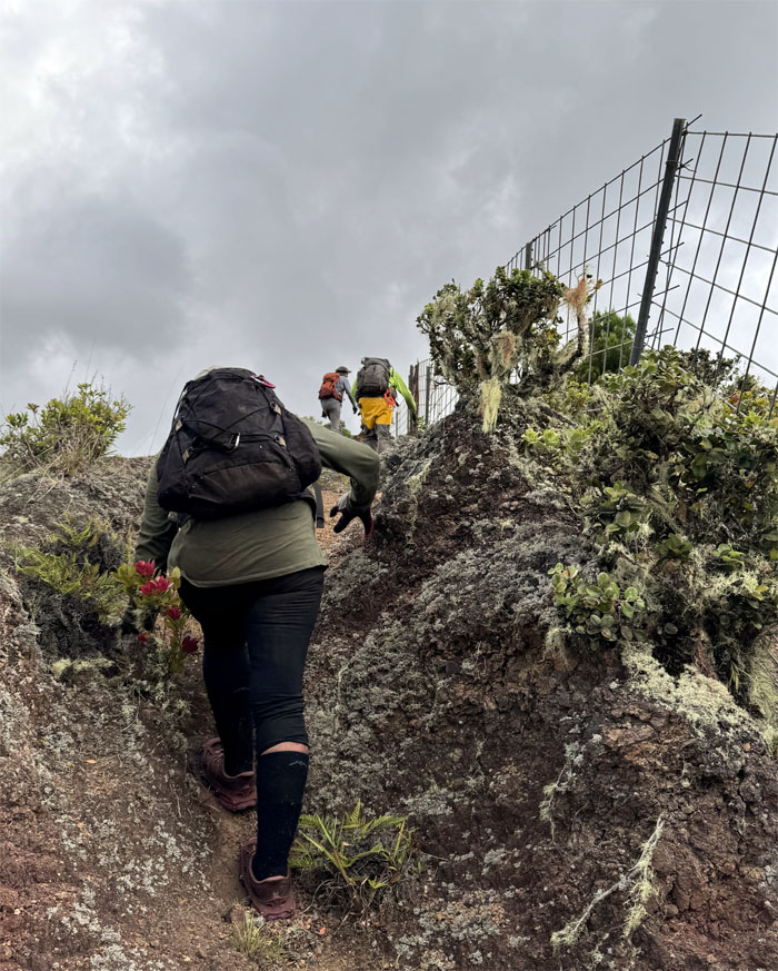
Fence line keeping hikers away from the eroded sections.
WST
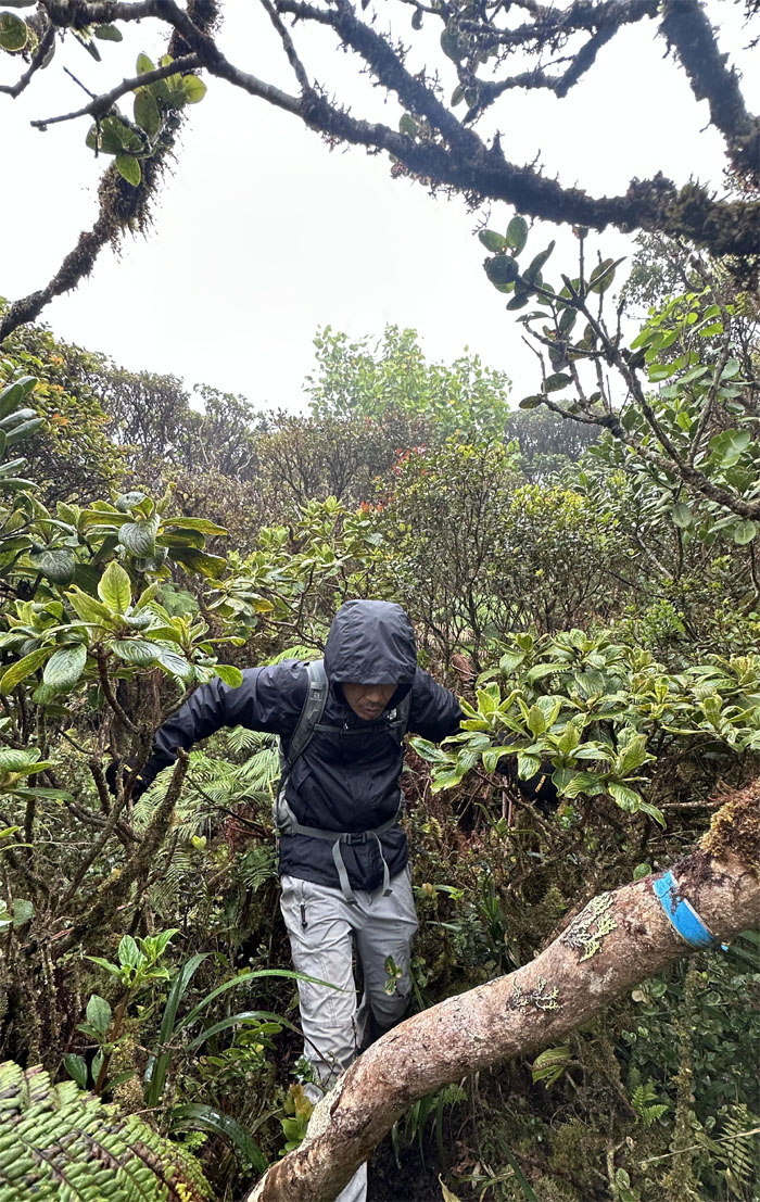
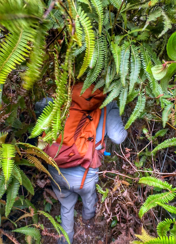
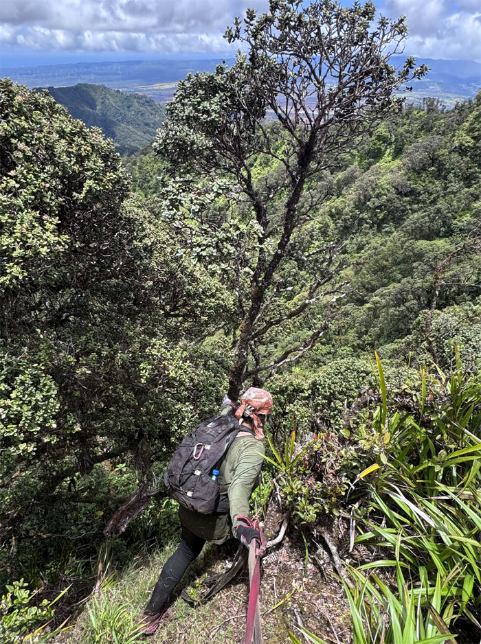
Plunging and pushing through the dense and insufferable uluhe fern overgrowth.
Hobbs Junction
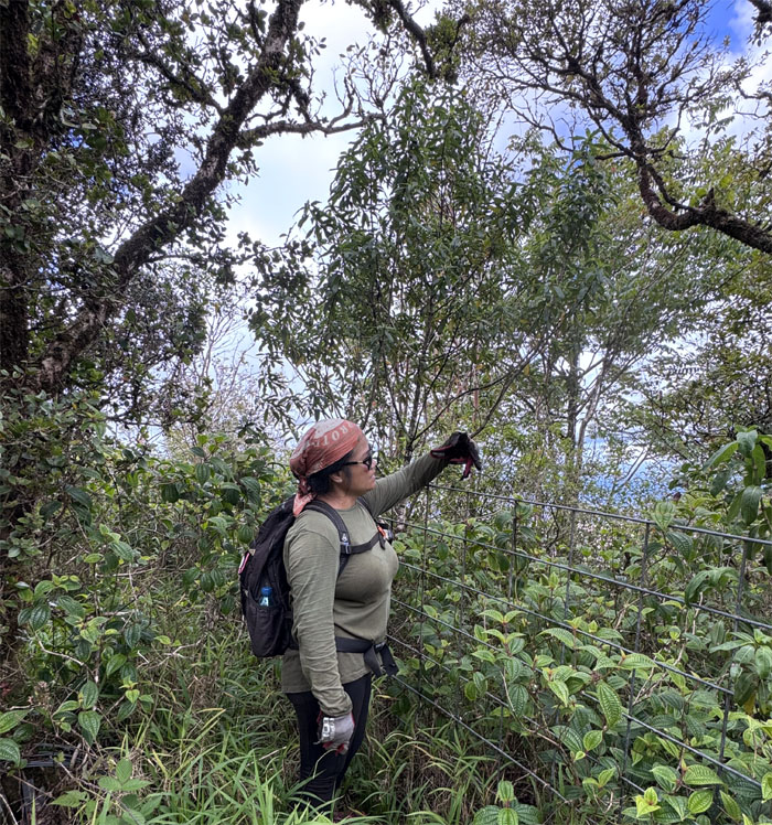
Tessa is either trying to form the letter “H” or has the onset of arthritis in her hands.

WST
Following the fence line as it struggled to stay with the uneven ridge line.
WST
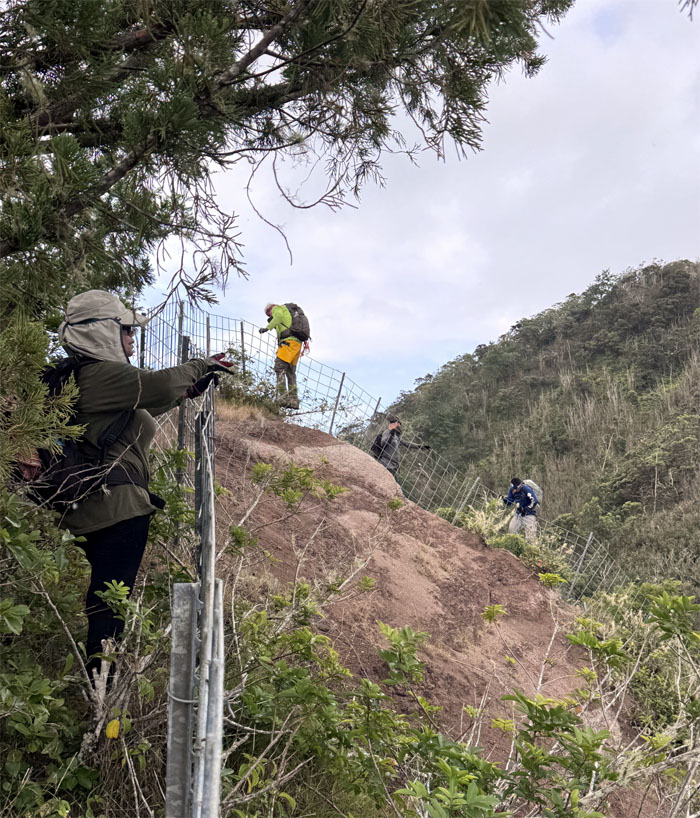
Crossing and climbing through a gap in the fence line.
WST
Tessa about to drop off the side of the cliff with the help of a rather faded and long in the tooth webbing.
WST
Chico picked up a traveling companion. These invasive critters that hailed from Kenya were released into the wild in 1972 and are responsible for the extinction or near extinction of many native species.
Pu’u Kalena
Taking lunch at what Hawaiian legend said was the nipple of a pregnant woman giving birth to the ocean. Mount Ka’ala was her pregnant stomach.
Pu’u Kalena
Group photo at the 3,504′ peak.
WST
Making our way down through the suffocating overgrowth as we followed the ubiquitous fence line.
WST
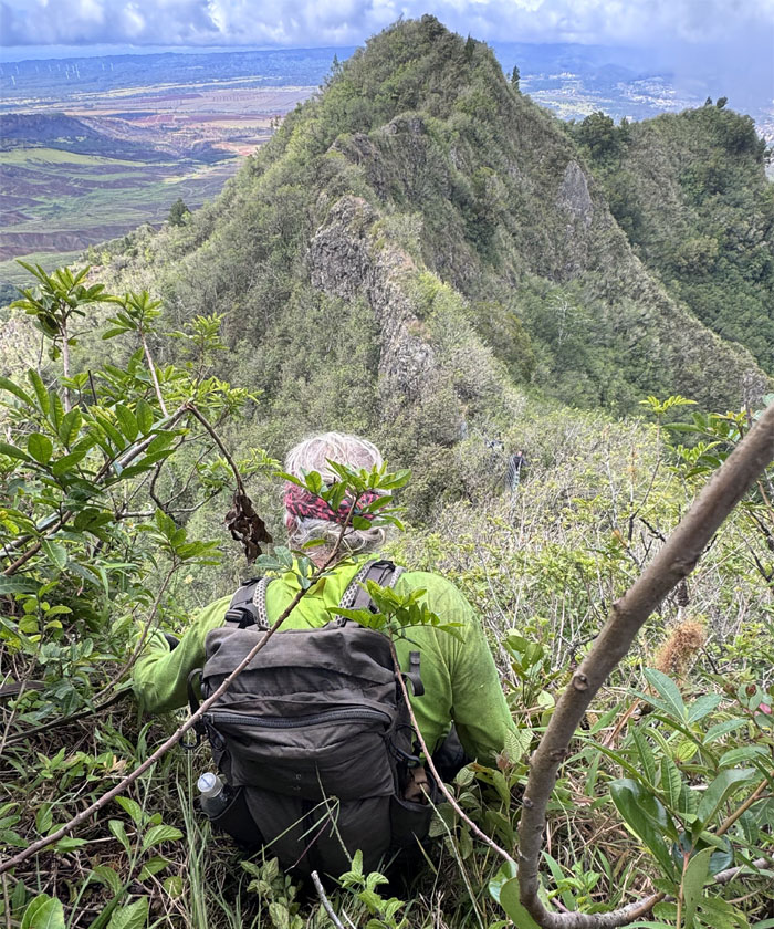
Climbing through the partially denuded section as we picked up elevation again on our climb back up.
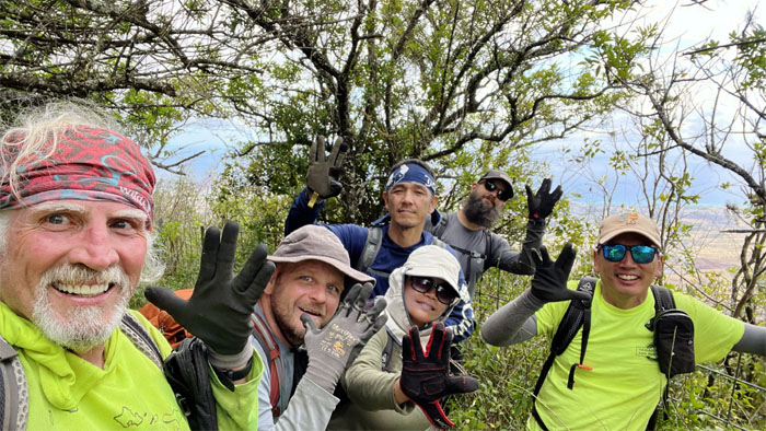
Star Trek Junction
The group flashing the Vulcan salute made famous by Leonard Nimoy in the popular science fiction franchise show.
WST
Some took the hard way, while others took the easier way.
WST
Looking to our right, we were treated to views of sexxxy ridge and pu’u ka’ilio, both short and “punchy” hikes.
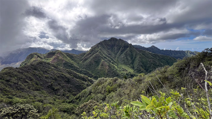
WST
Six o’clock views of the second highest mountain on the island.
WST
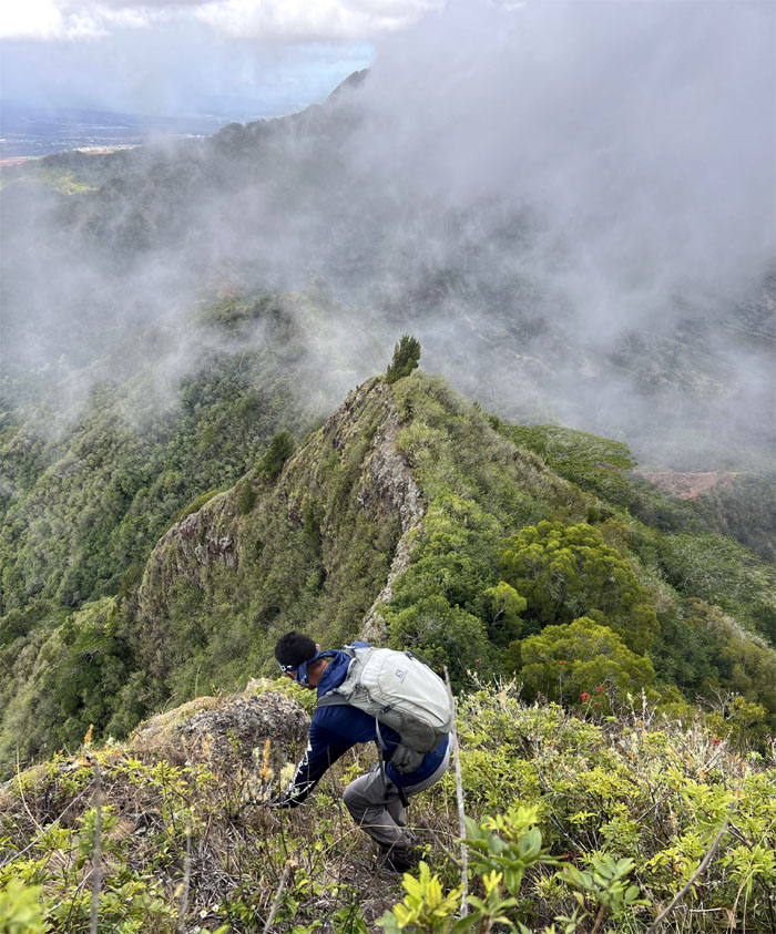
Chico descending towards the start of the narrow dike section. Not to be confused with intrusive igneous rock formations that identify with the rainbow coalition.
WST
Akira and Scott maintaining their sense of balance which was helped by the absence of stiff winds.
WST
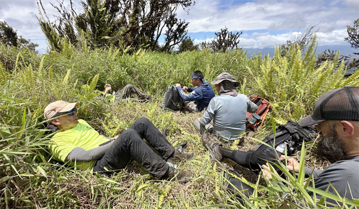
Somebody was taking a break from crawling.

WST
Tessa bringing up the rear.
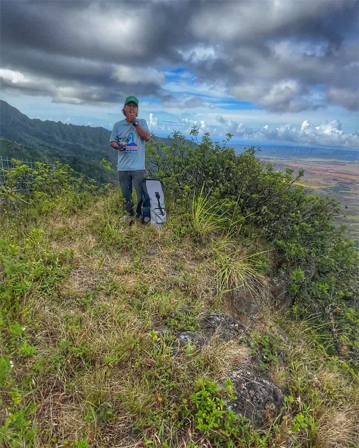
Pu’u Kumakalii
A familiar face greeted us at the 2,881′ peak.
WST
When do we get to the sketchy part? Is this it?
WST
Coming down the mountain. Yes we are.
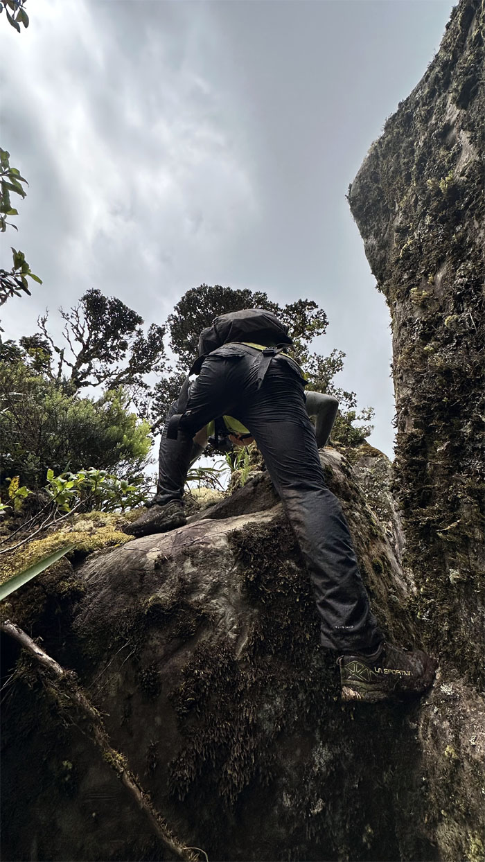
WST
Akira scrambling his way down.
WST
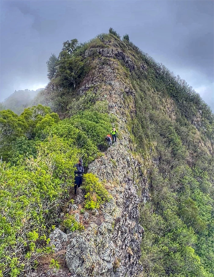
The rest of the group climbing down the narrow dike.
WST
It looked like the mountains were letting off some steam today.
WST
We peeled off the ridge line and hiked down the valley towards the lowest point in the Waianae Mountain Range, where we also met up with Kenny again. A couple of folks in the group went off “exploring” and one had to be pulled from the edge of a cliff. Just another day at the office.
WST
Is Chico horizontally rappelling with his scuttlebutt?
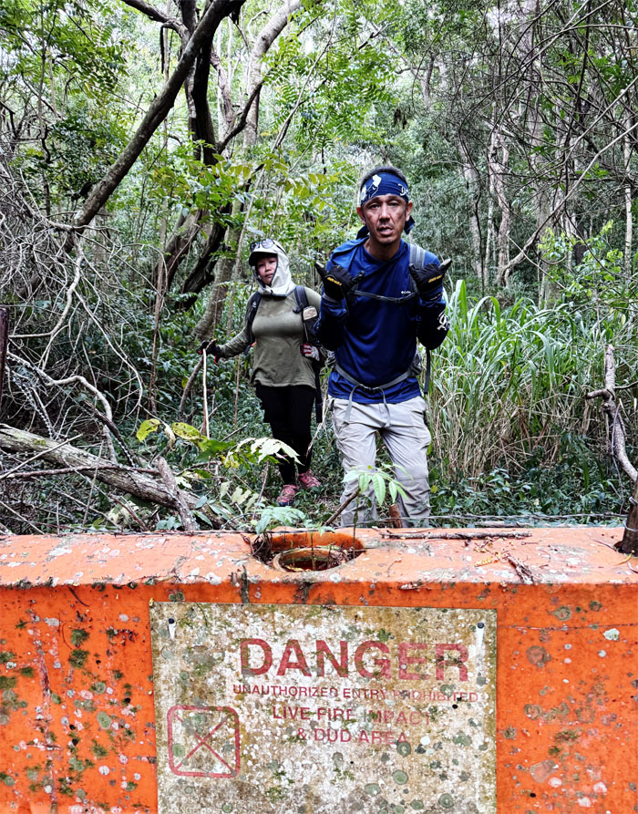
WST
We walked through the valley of the shadow of UXO.
Kolekole Pass
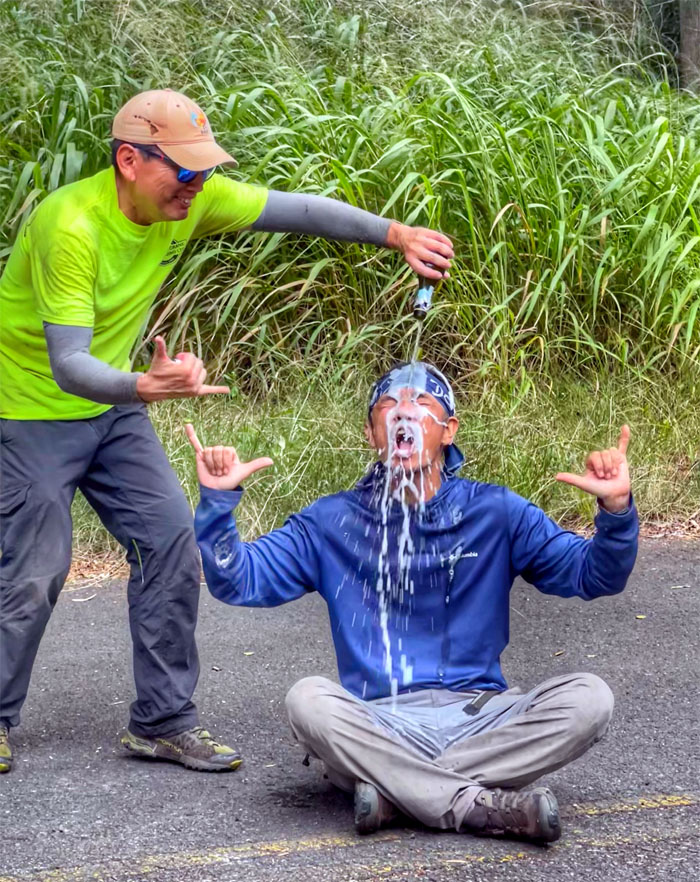
#26 – No drinking the bubbly this time! Congratulations Akira-san on finishing the last section to complete the entire 26 miles of the Waianae Summit Trail.
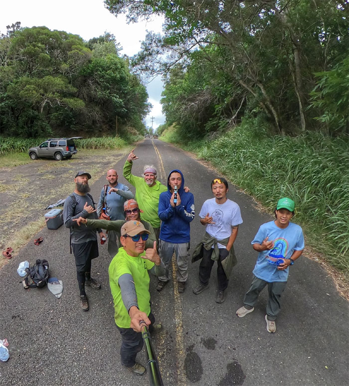
All pau
Final group photo of the day, left to right: Scott, Jeremy, myself, Tessa, Chico, Akira, Kenny and CB. Thanks to CB and Kenny for shuttling us back to our cars.
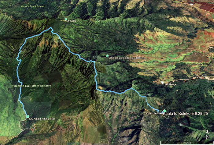
GPS Tracks
Our completion hike covered a distance of 7.06 miles that saw us summit the two highest peaks on the island before ending at the lowest point in the Waianae Mountain Range, from the highest to the lowest. Congratulations again to Akira for finishing the WST. We were joined by Cat and Edgar for our post hike meal at Zippy’s.
Photos taken by Akira Suzuki, Chico Cantu, Chris Bautista, Jeremy Cannone, Kenny Lui, Scott Peterson, Tessa Bugay and yours truly. Not necessarily in order.
Note: I have been made aware that some hikers have been using my blog as a hiking guide and getting lost on the trails. Please note that this blog was made to document the hike for the crew(s) that did it. That is why some of my comments will seem to have no relevance or meaning to anybody outside of the crew(s) that hiked that trail. My blog was never meant as a hiking guide, so please do not treat it as such. If you find inspiration and entertainment from these hikes, that is more than enough. If you plan on replicating these hikes, do so in the knowledge that you should do your own research accordingly as trail conditions, access, legalities and so forth are constantly in flux. What was current today is most likely yesterdays news. Please be prepared to accept any risks and responsibilities on your own as you should know your own limitations, experience and abilities before you even set foot on a trail, as even the “simplest” or “easiest” of trails can present potential pitfalls for even the most “experienced” hikers. One should also always let somebody know of your hiking plans in case something doesn’t go as planned, better safe than sorry.
{ 2 comments… read them below or add one }
I kinda like this hike if only I’m in a better shape lol
Pochari so exhausted that day. Wish I had a pic or vid when I fell flat on my face lol
Aloha Tessa,
Yah, no pic for the blog. lol.
Mahalo