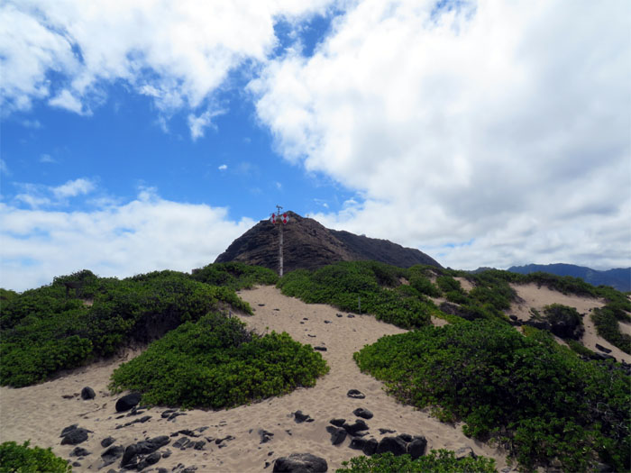
Rain had cancelled our plans to hike from Kalawahine trail to K1 to Lulumahu Falls, so it was off to Kaena Point with Chenay, J, Kinky, Nate L and Nate Y.
We parked past Yokohama Beach and joined the rest of the hikers on the trail to Kaena Point. This trail sees a lot of use from fishermen and hikers, especially on the weekends.
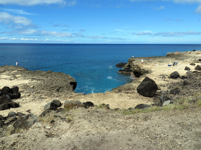
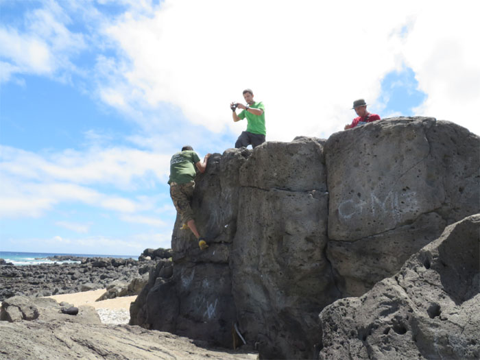
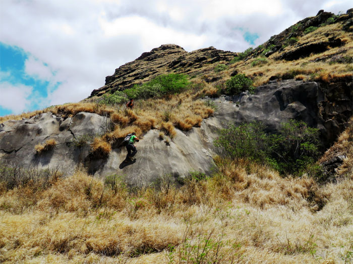
Approaching a popular bouldering spot. One who spends time at VRG ( Volcanic Rock Gym ) can put all their practice to use here.
Looking back at the spot offers another perspective.
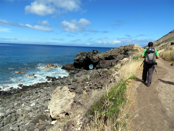
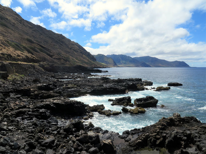
The Waianae side never fails to impress me with her rugged beauty.
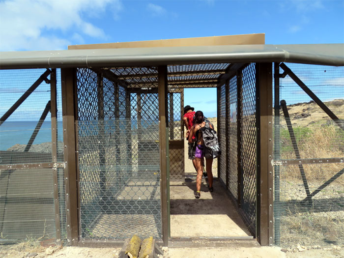
The last time that I had hiked to Kaena Point from Mokuleia, this pest control fence was still being built. Mission accomplished.
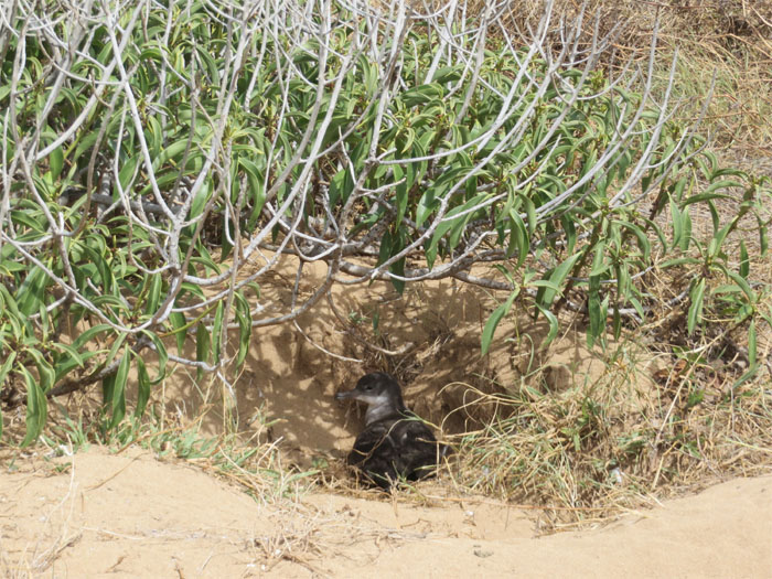
Spotted this albatross chick on the way in.
J showing us how it’s done. Getting ready for Kalihi Saddle!
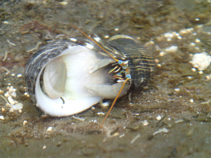
This blue-eyed hermit crab was looking for a new home. The current tenant didn’t want to move.
There was a thin film or sheen covering this ladybug. Don’t know if it was molting or hatching, is that the correct word? Sorry not a bug person.
Check out this interesting looking mustachioed spider. What’s for lunch?
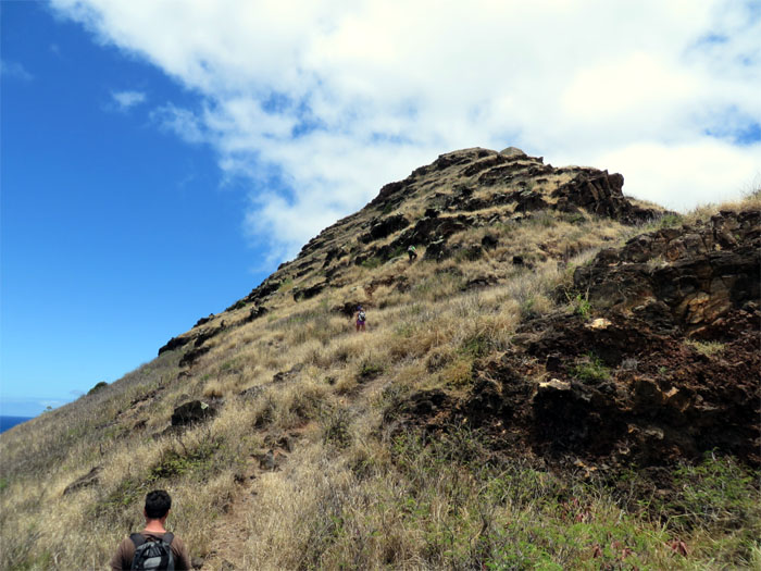
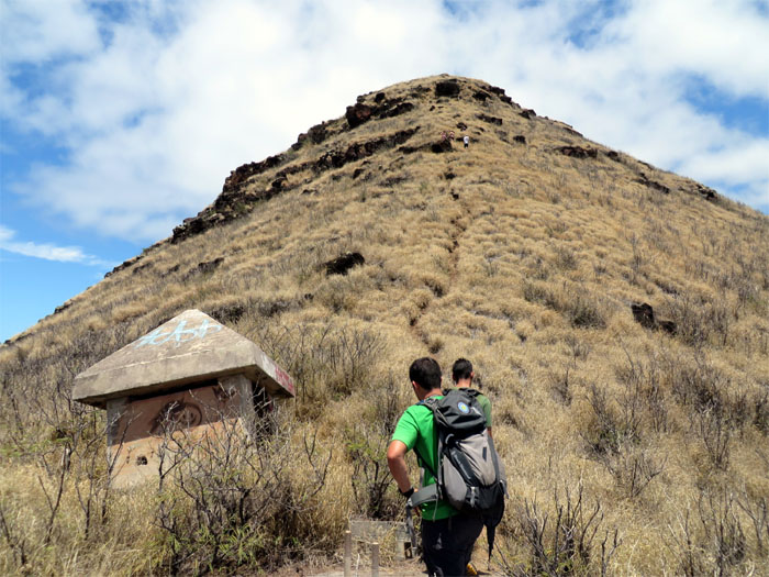
We were also hoping to see some monk seals, but no such luck. So we left the fenced area and made our way up to the mountain.
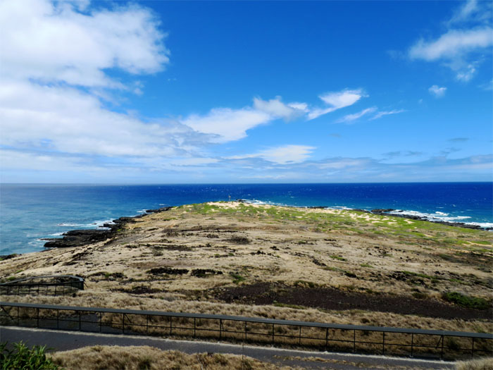
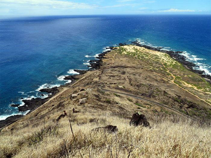
Looking towards Kaena Point, the westernmost tip of Oahu.
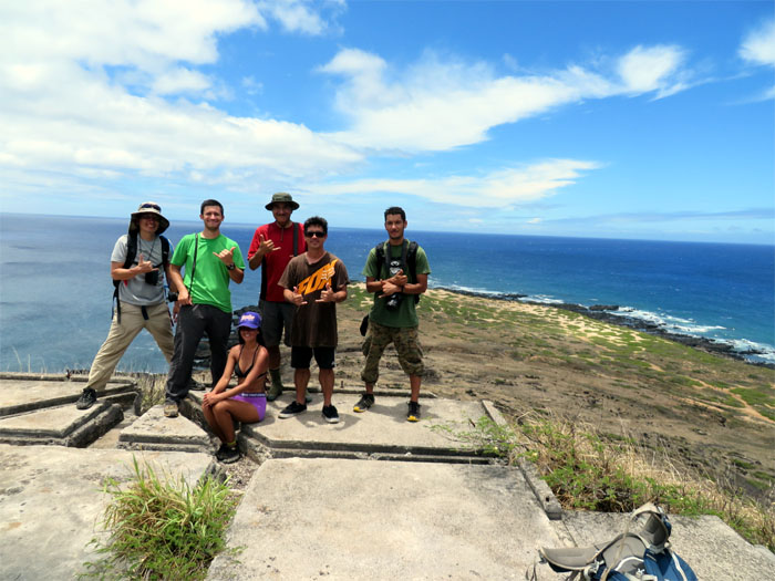
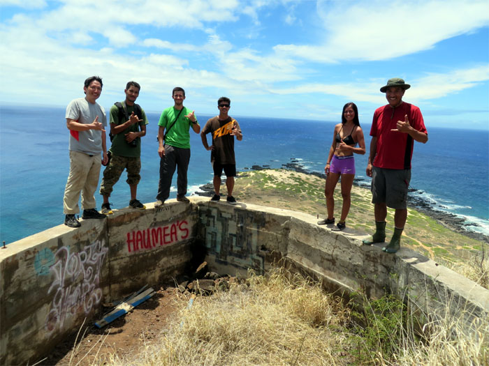
Group photo left to right: myself, Nate L, Nate Y, Kinky, J and Chenay (sitting) at the first bunker.
Nate L, Chenay and Kinky making their way up the mountain. It was hot. Waianae hot.
Another group photo at the second bunker.
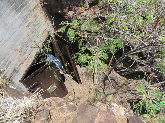
Nate Y showing us the way into the bunker. The island is littered with military bunkers from WW2 that occupies the high grounds, some are safe to explore and others are not. Use caution when exploring these military relics, as they are over 70 years old.
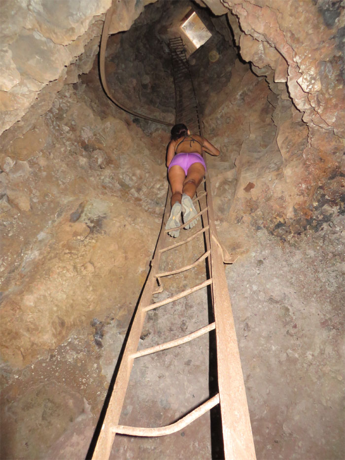
Chenay halfway up the ladder. The ladder is twisted at the top, making the full climb to the top and out sketchy. It was a sweltering sauna in the bunker, so we all exited through the bunker doors.
We came across some other hikers on the mountain that were totally unprepared. No water on this scorcher of a day. J was nice enough to give them an extra bottle of water.
Eventually the heat got to some in our group, so we made our way back down.
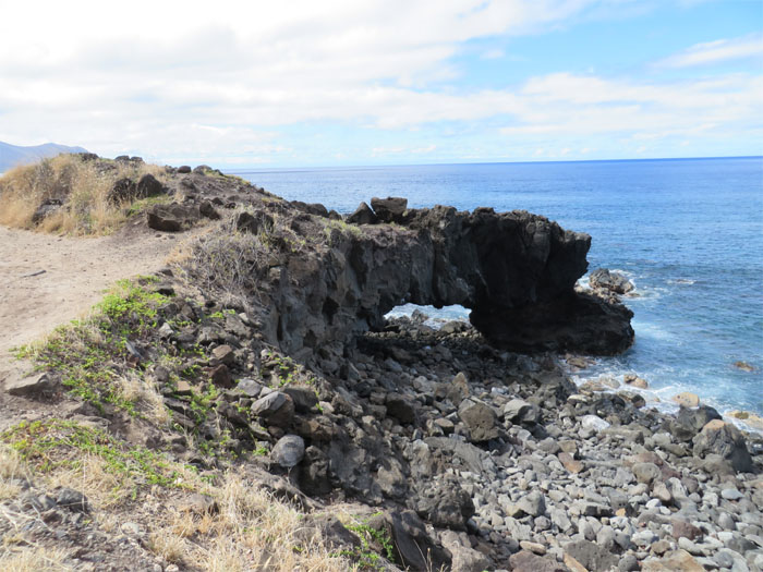
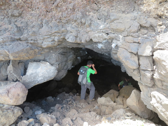
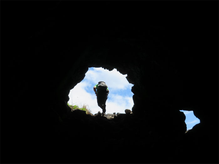
Nate L entering one of the caves that is located outside of the fenced area. You have to climb down from the trail to get to this cave.
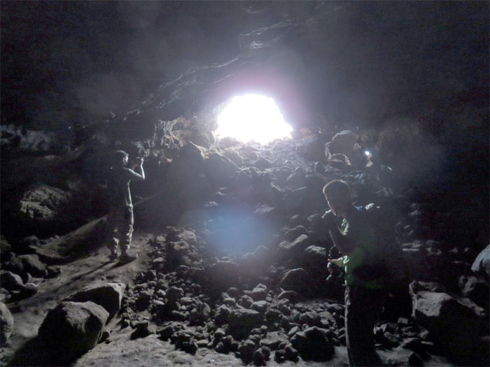
It was a lot cooler inside this cave than the bunker.
Nate L leaving the cave.
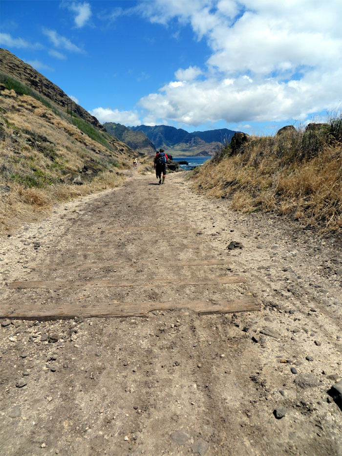
Walking in the remnants of the railroad ties as we made our way back. Oahu Railway & Land used to operate railroad tracks from 1889 until 1946 when the Aleutian Tsunami and increased road infrastructure signaled the end of the locomotive in Hawaii. These tracks once ran around Kaena Point to Haleiwa. What a ride that must have been.
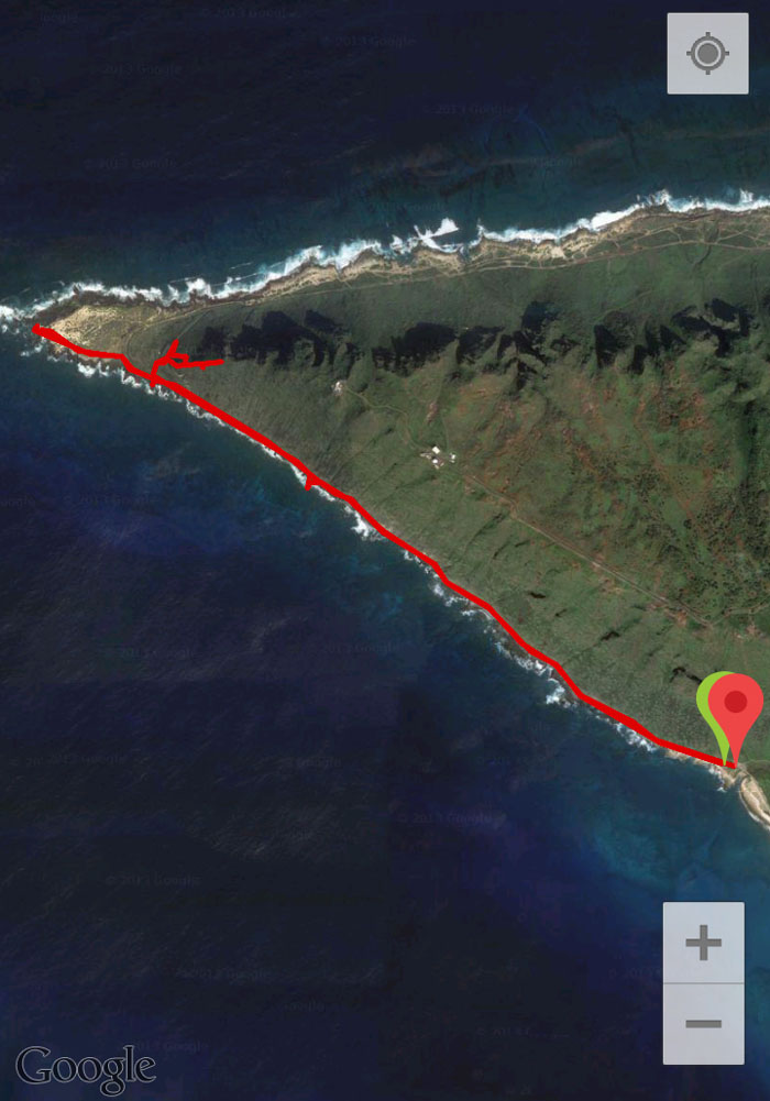
The 6.12 mile exploration hike took us a little over five hours.



{ 3 comments… read them below or add one }
There are a couple more bunkers on the Mokuleia side near the new Kaena gate. You’ll probably pass about three boulders where I have been bouldering with friends. I put up some pink trail flags to the higher of the two bunkers. Punyari’s blog has details about the boulder areas. Have fun.
Thanks for the info Baron! Don’t know when we’ll be out there again, but now I know what to look for!
Where’s the cave? (Exactly). I’ve been to Kaena several times and never seen the cave there.
Is that cave different from the bunkers? (in other words, is that cave a natural one vs the man-made WWI & WWII bunkers?)