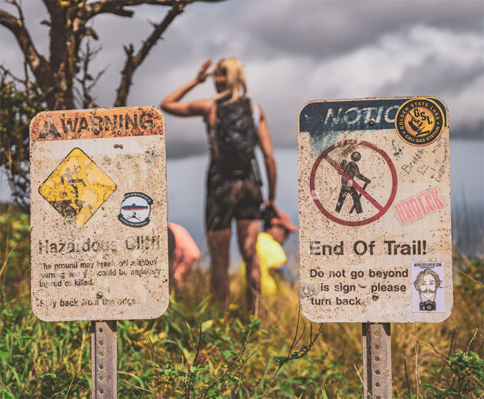
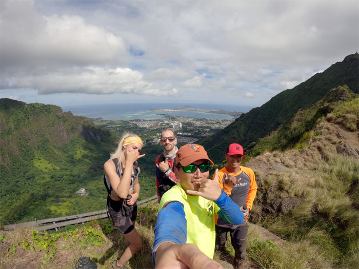
I burned off a vacation day to take some visitors from Alaska on a hopefully memorable hike. Photo by Orion Satori.
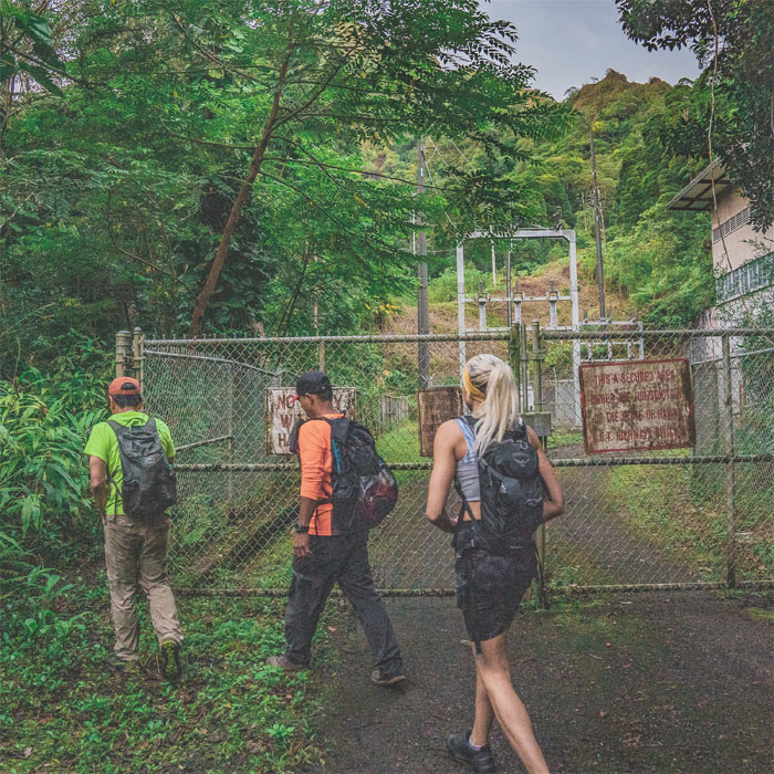
Thanks to Quan for dropping Chris, Jackie, Orion and myself off at the power station. Photo by Orion Satori.
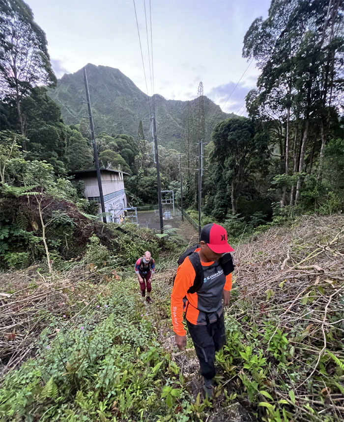
The group coming up the recently cleared stairs.
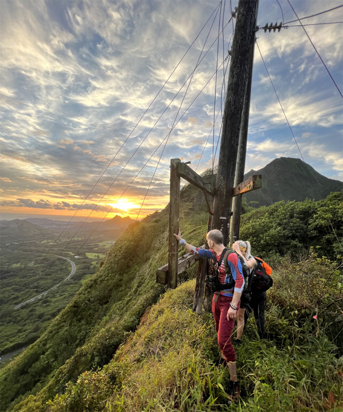
Catching the breaking sun as we gained the saddle.
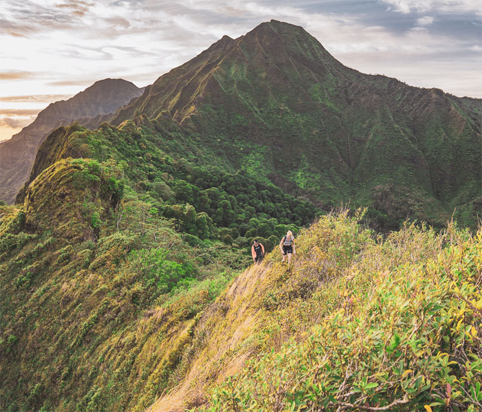
Making our way on the ridge line as we passed the knob and Camp Centipede. Photo by Orion Satori.
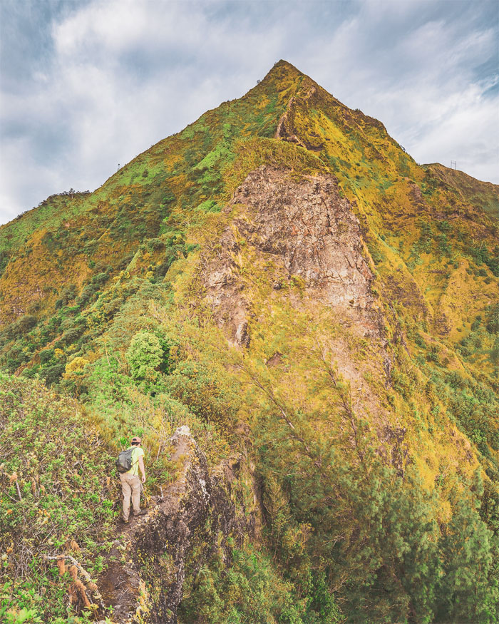
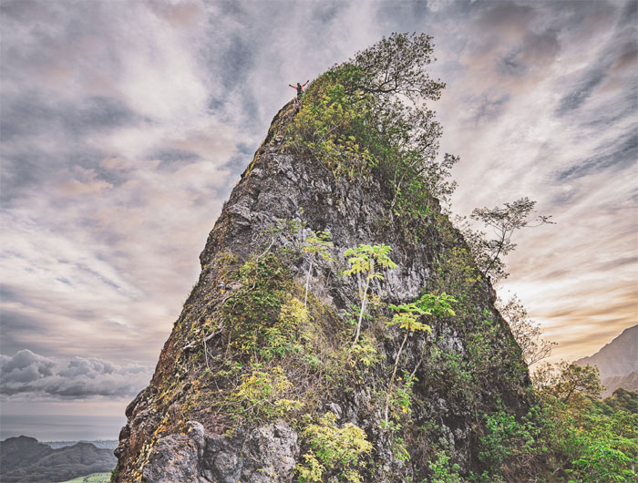
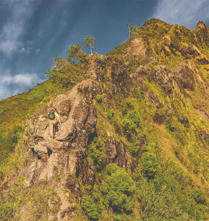
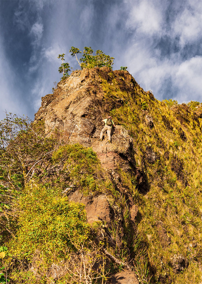
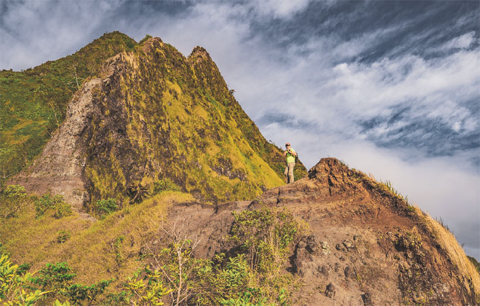
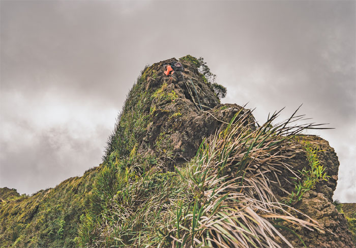
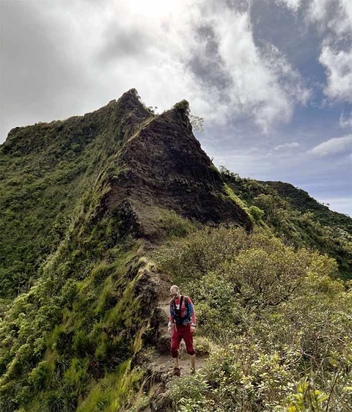
Approaching the conical shaped rockface. Photo by Orion Satori.
Scrambling up the backside.
Chris waiting for his broomstick. Photo by Orion Satori.
Climbing up and over the hump. Photo by Chris Bautista.
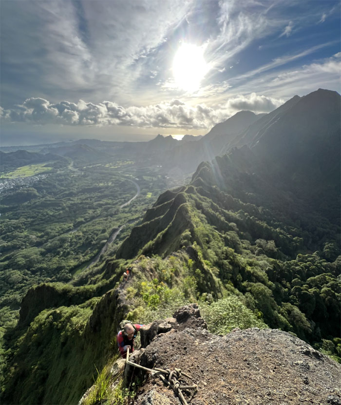
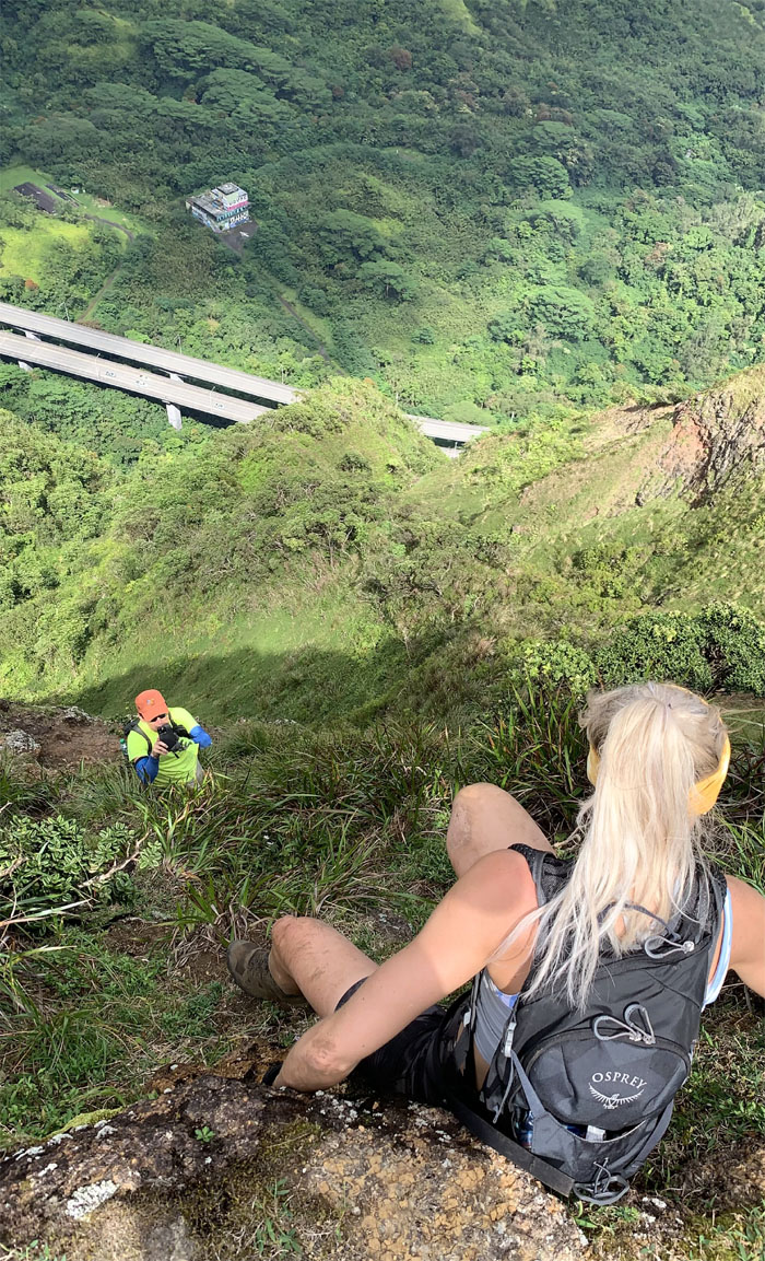
Orion watching the rest of the group make their way up.
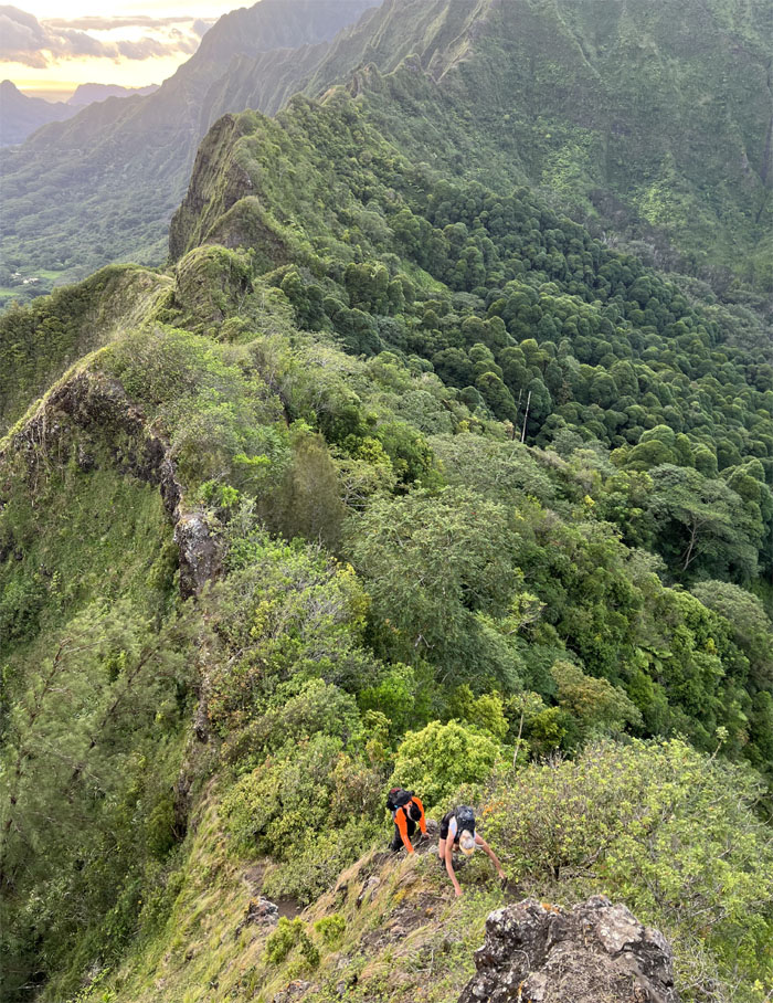
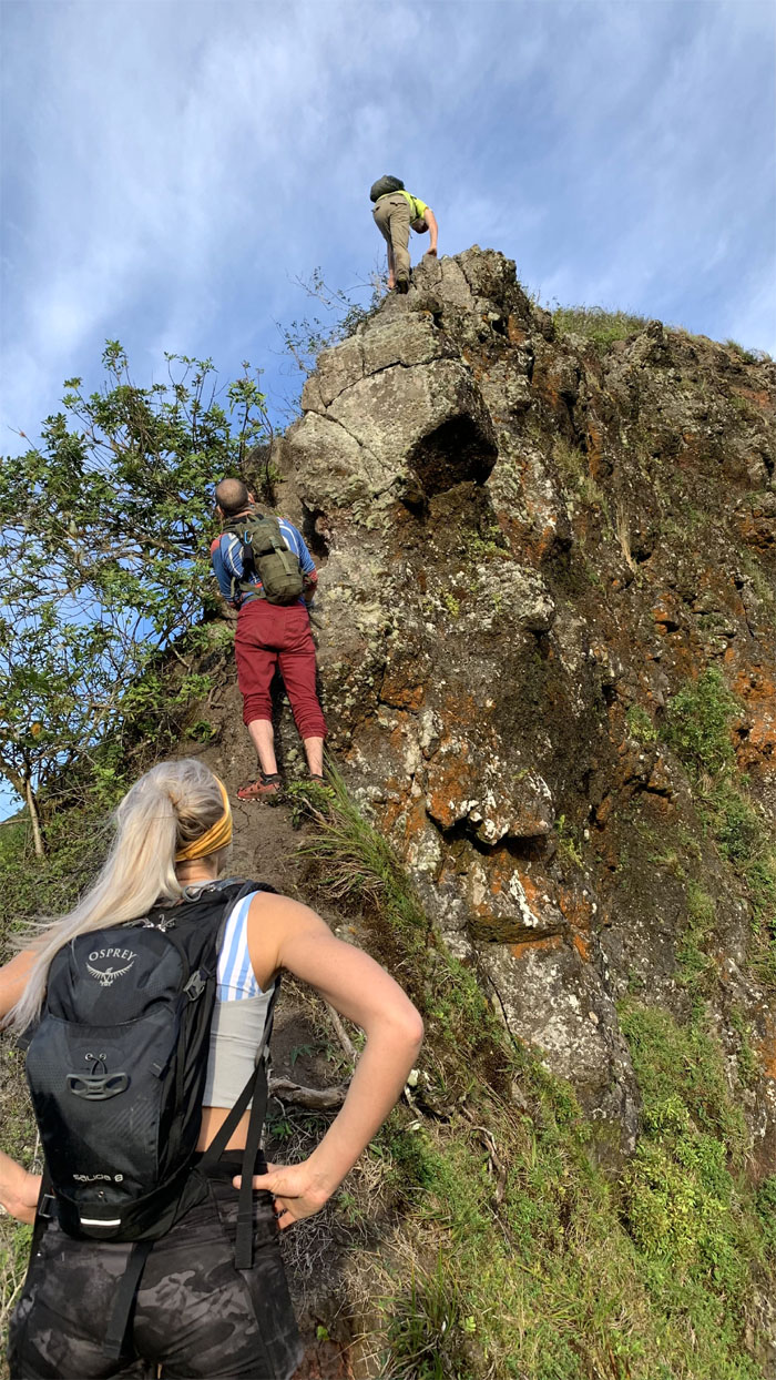
Climbing queue. Photo by Chris Bautista.
Chris and Jackie making their way over the dip. Photo by Orion Satori.
No reservations required. Photo by Orion Satori.
Can I see your vax card and ID please?
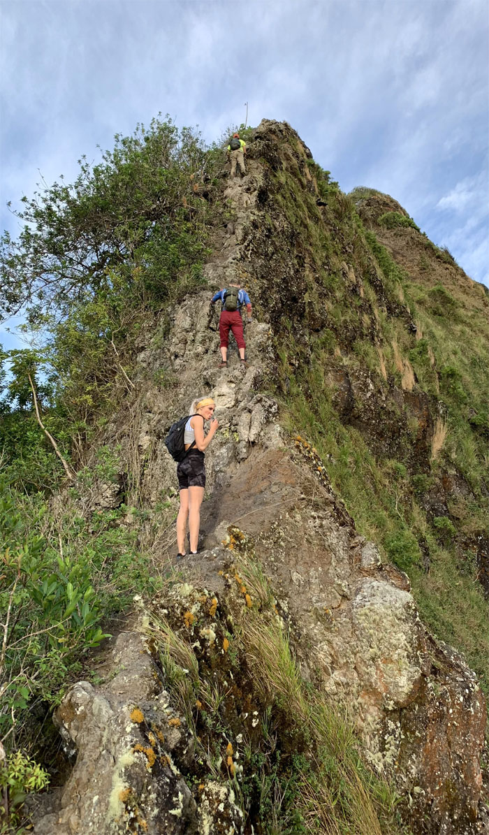
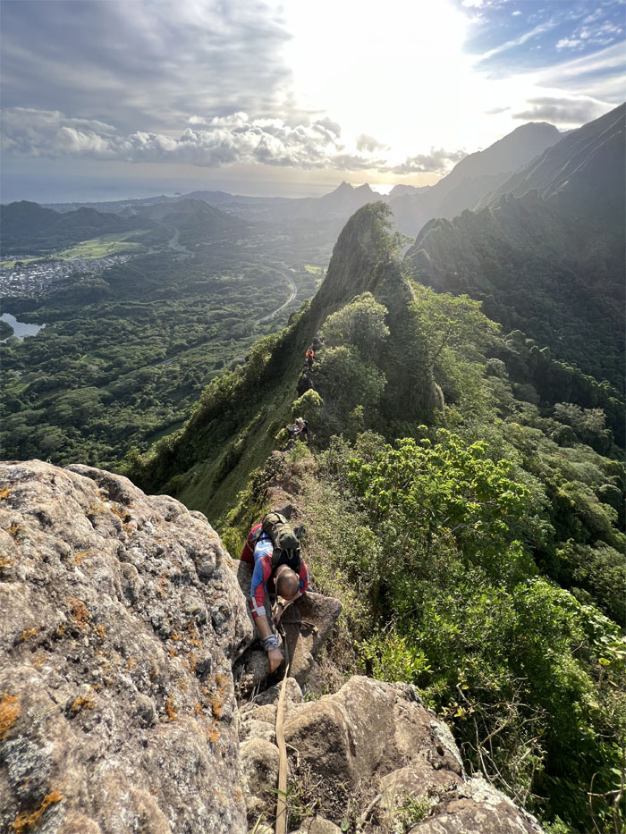
Climbing up on the Windward side of the rockface. Photo by Orion Satori.
Orion on his way up.
Enjoying a relatively flat spot on the saddle. Photo by Orion Satori.
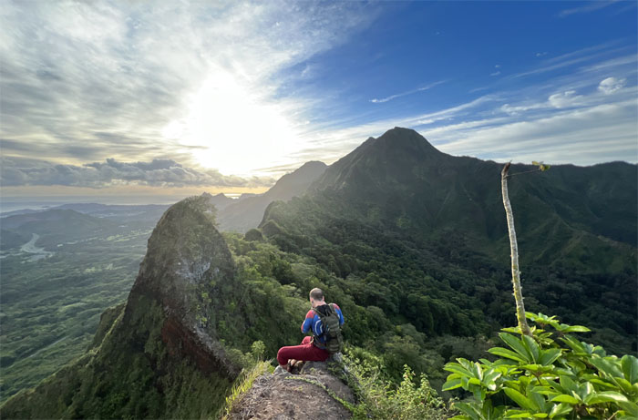
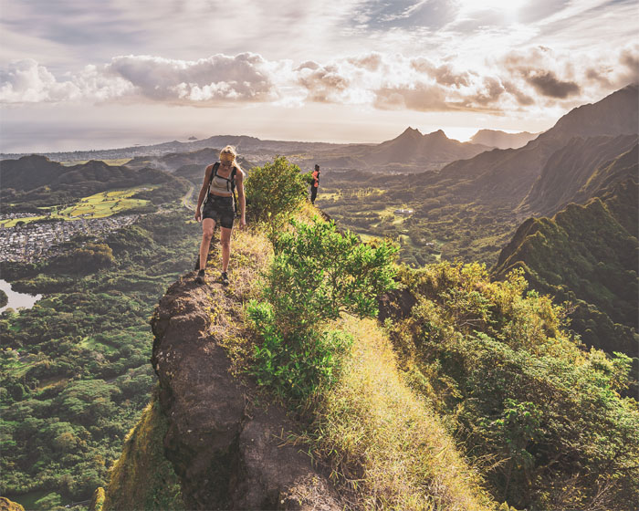
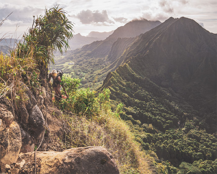
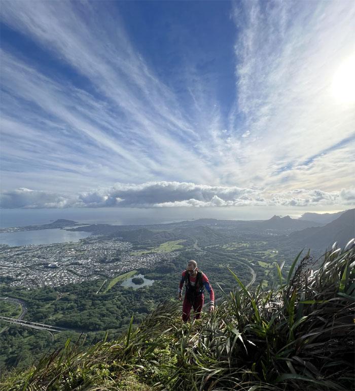
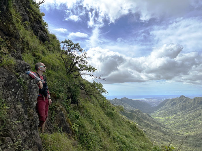
Chris checking out the sunrise views while Jackie made her way around the curved and crumbly ridge. Photo by Orion Satori.
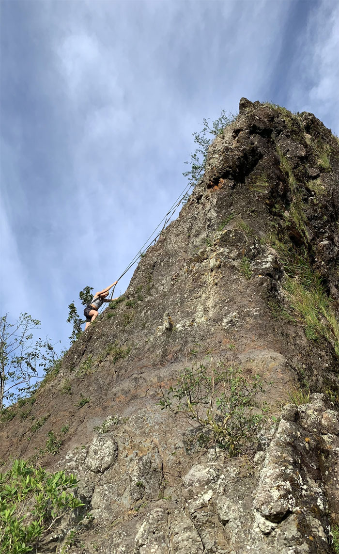
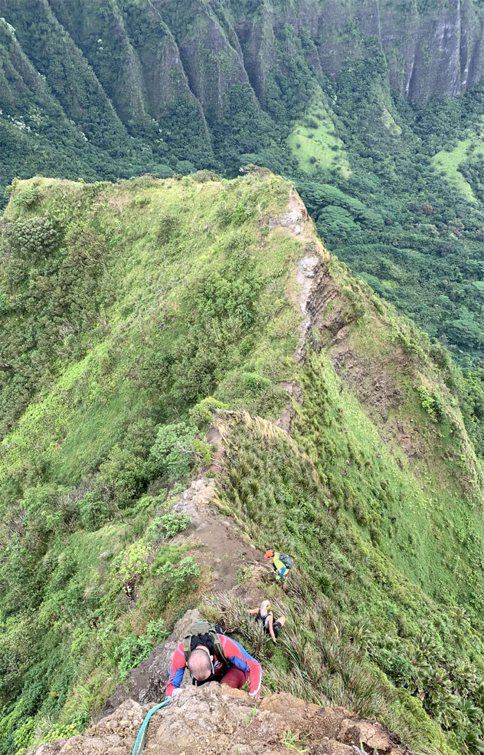
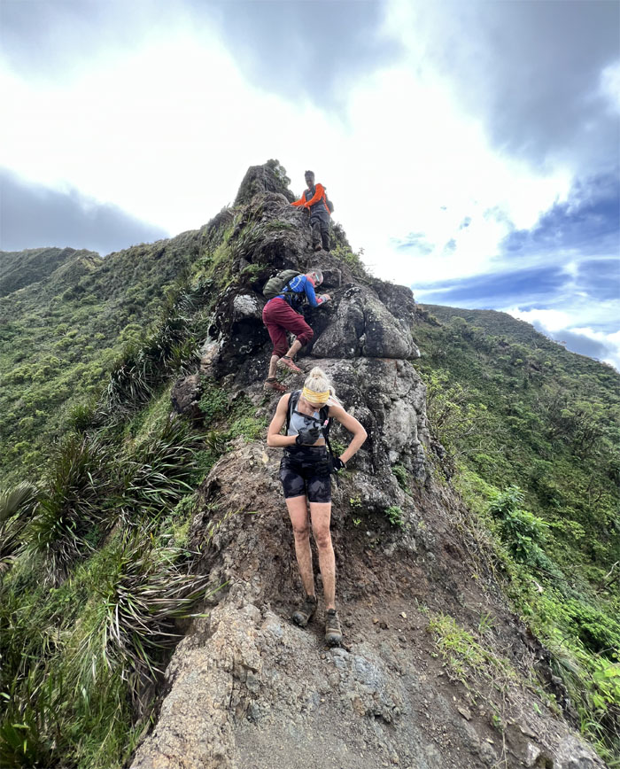
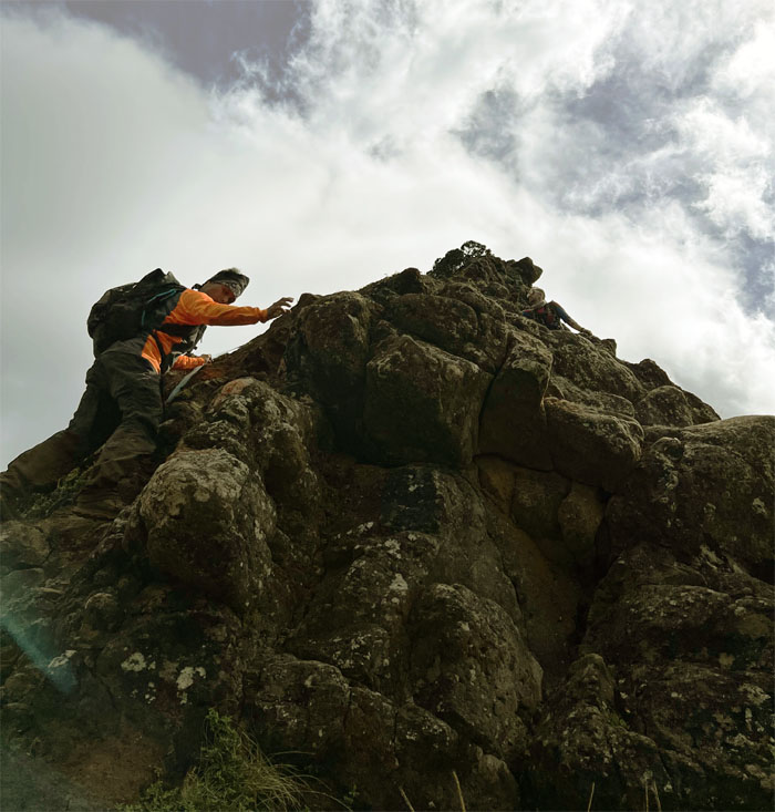
Jackie pulling herself up the rockface. Photo by Chris Bautista.
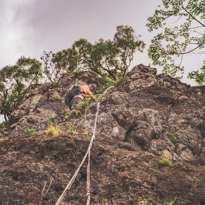
Orion reaching his way to the top.
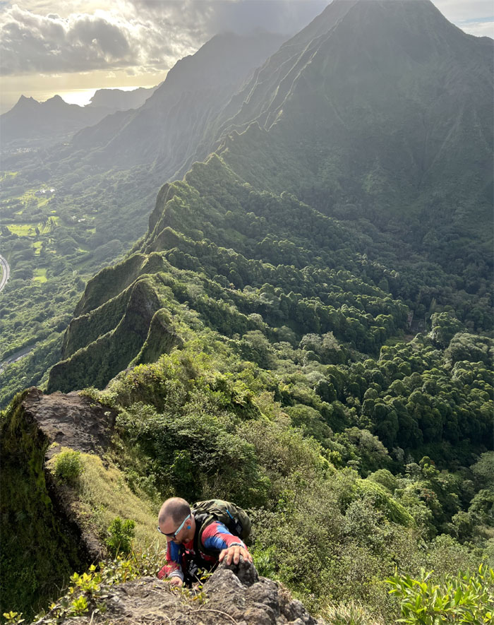
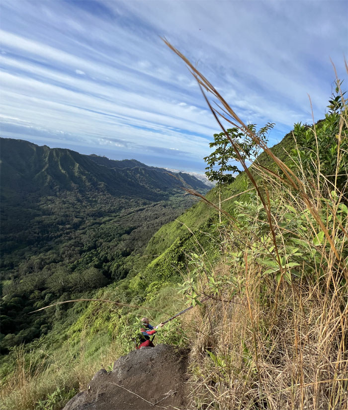
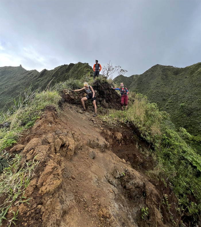
Chris coming up the crumbly slope. Photo by Orion Satori.
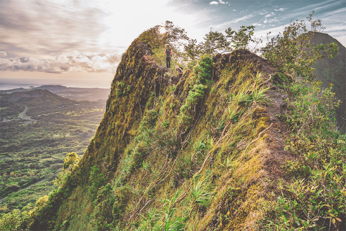
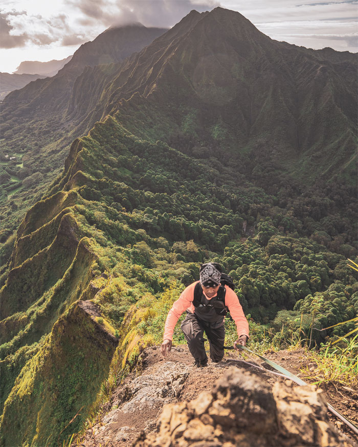
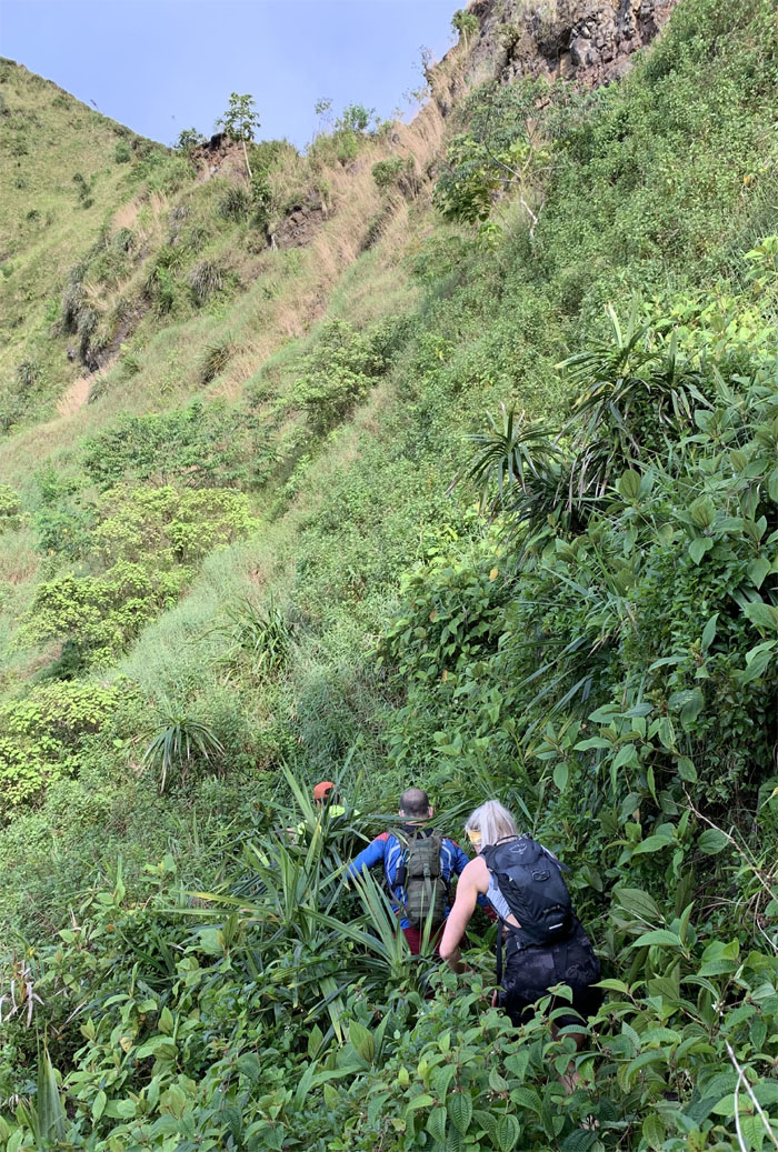
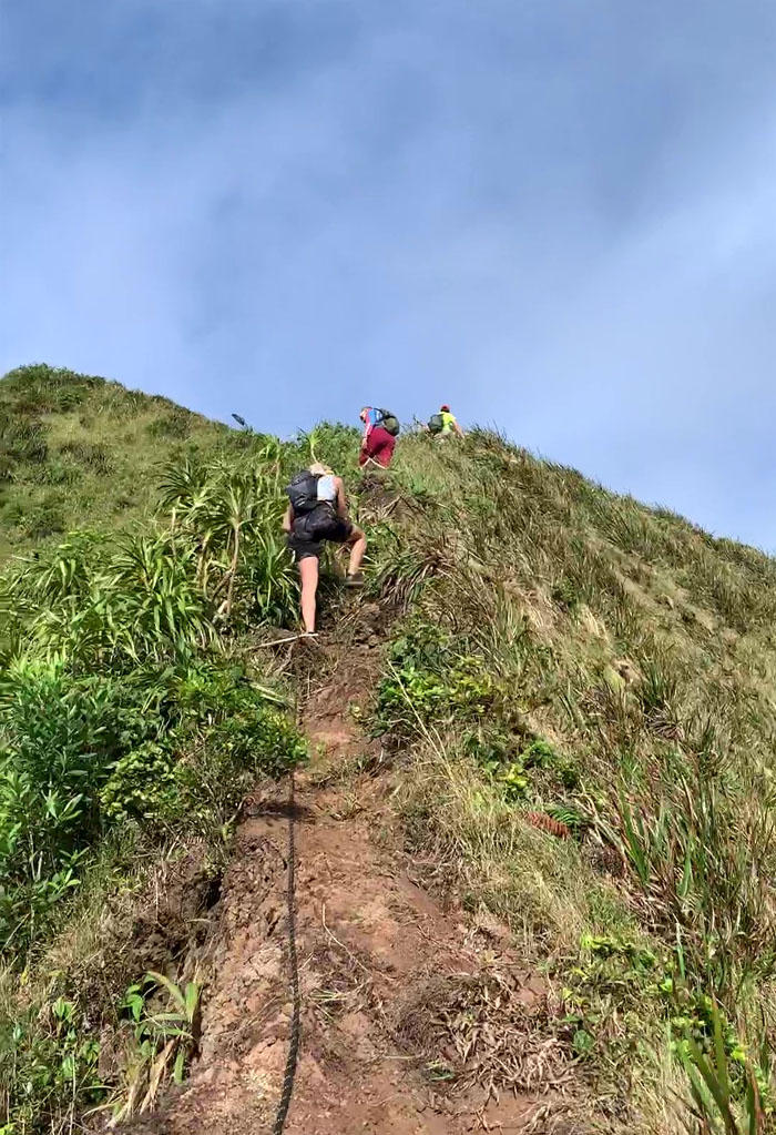
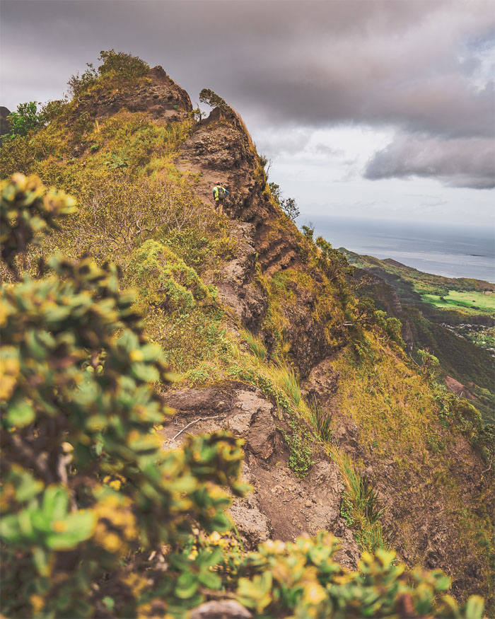
Contouring around the ridgeline through the overgrown and loose under footing flank. Photo by Chris Bautista.
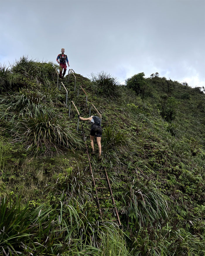
We all got our upper body workout on this section.
Jackie caught between a rock and a hard place. Photo by Orion Satori.
Climbing out of the saddle. Photo by Chris Bautista.
We were making good time so we took a small break and enjoyed the views.
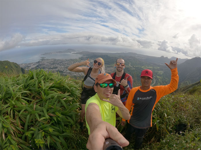
Group photo at the overgrown summit with wrap around views.
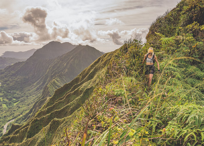
Jackie traversing a couple small hills until the next summit. Photo by Orion Satori.
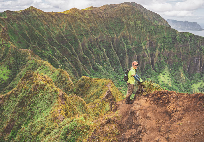
Group photo at the grassy summit with panoramic views of the Windward side.
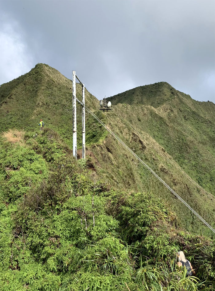
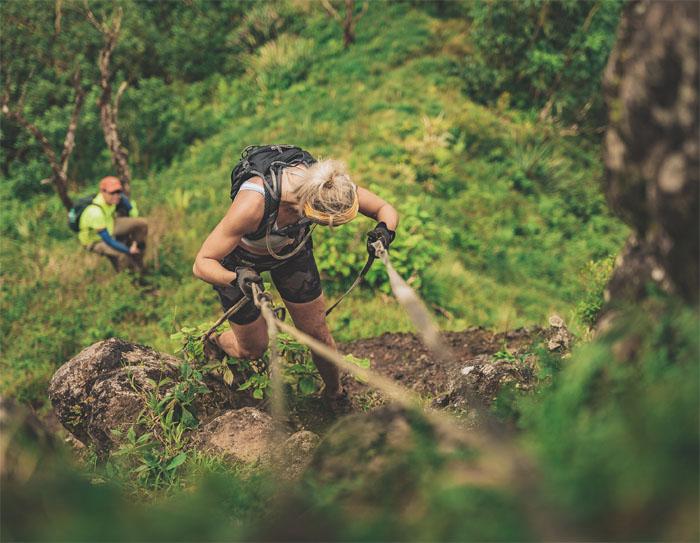
Hiking the well trodden and rutted trail with safety ropes courtesy of HECO, the local electric utility. Photo by Orion Satori.
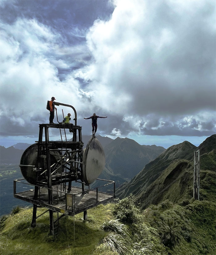
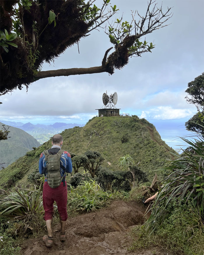
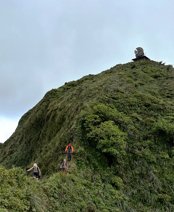
Approaching the second set of powerlines and the now defunct radar station. Photo by Chris Bautista.
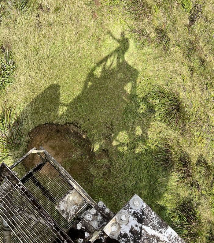
Shadow shaka.
Orion showing us his balancing skills. Photo by Jackie.
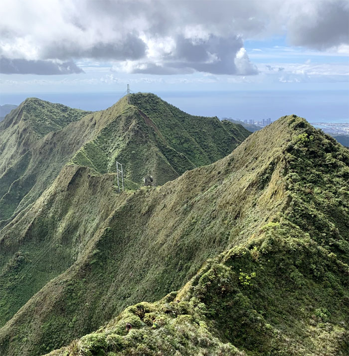
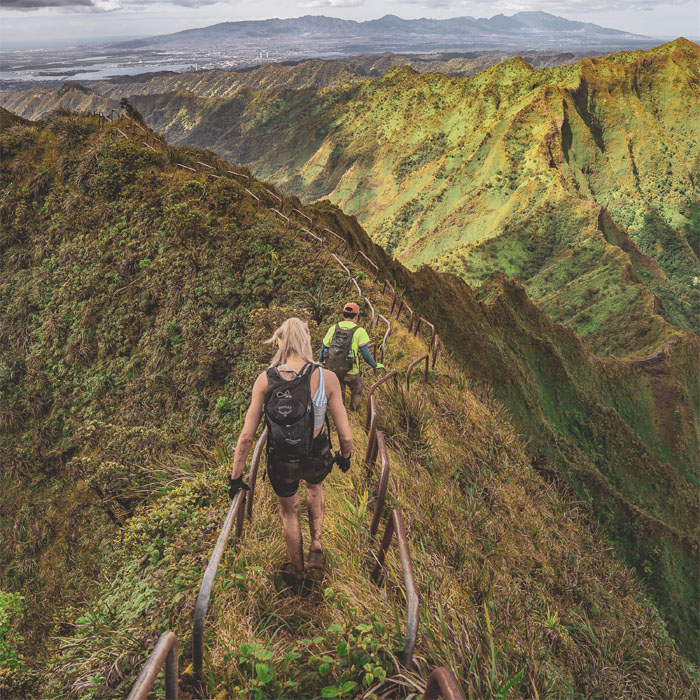
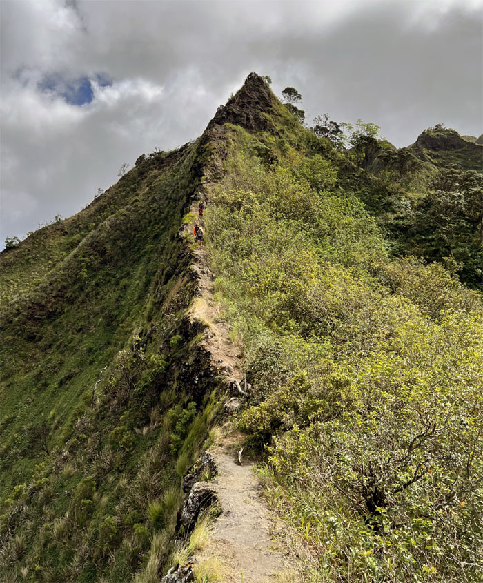
Looking back at the ridgeline characterized by its dips, peaks and man-made structures. Photo by Chris Bautista.
Passing the slightly muddy 2,820′ peak known as the “fire of Kahoe.”
Jackie hiking in the trenches. Not as bad as Moanalua Middle Ridge. Yet. Photo by Orion Satori.
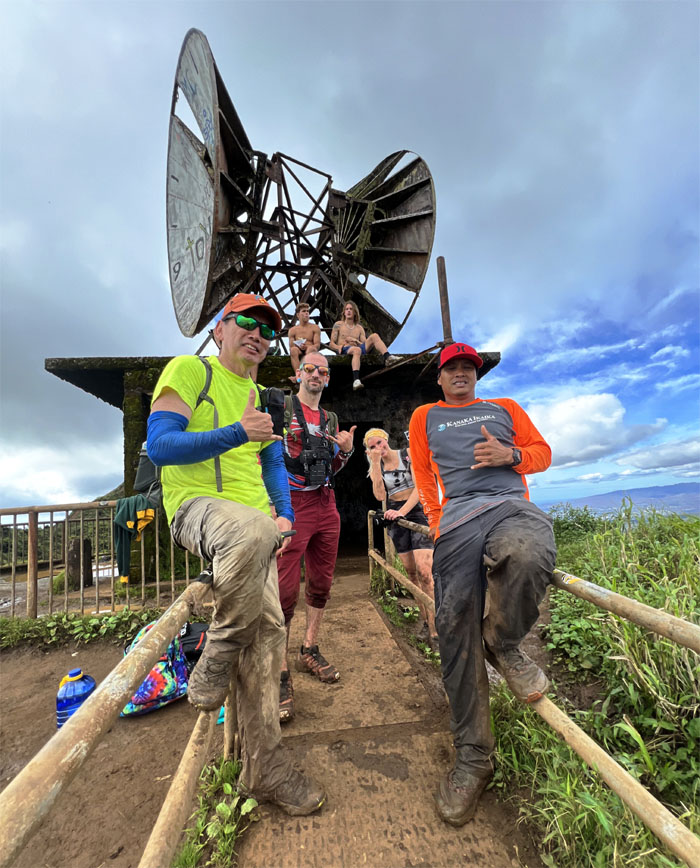
Group photo in front of the CCL building with other hikers in the background for atmosphere.
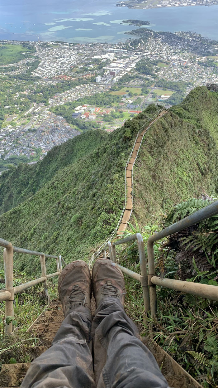
Looking down at part of the 3,922 steps that are slated to be removed. Who knows when is anybody’s guess. Photo by Chris Bautista.
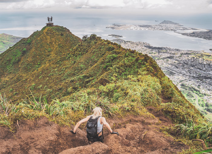
Climbing down the backside of the stairs. Photo by Orion Satori.
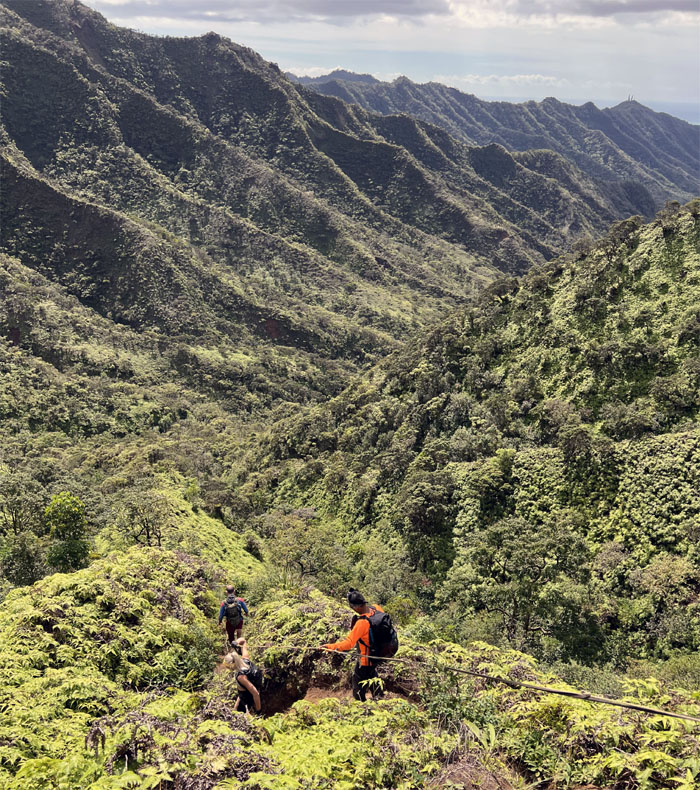
Hiking down the often rusted and twisted cable assisted trail.
The red-headed stepchild of the more famous stairs on the front side. Photo by Orion Satori.
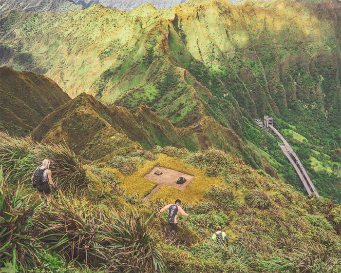
Climbing down to one of five anchor platforms that was used to hang 7,600′ of cable antennas to the other side of the valley.
Looking down into amphitheater shaped valley that was ideally suited for naval communications during WW2 based on the mountain topography. Photo by Orion Satori.
The erosion begins. The fun begins.
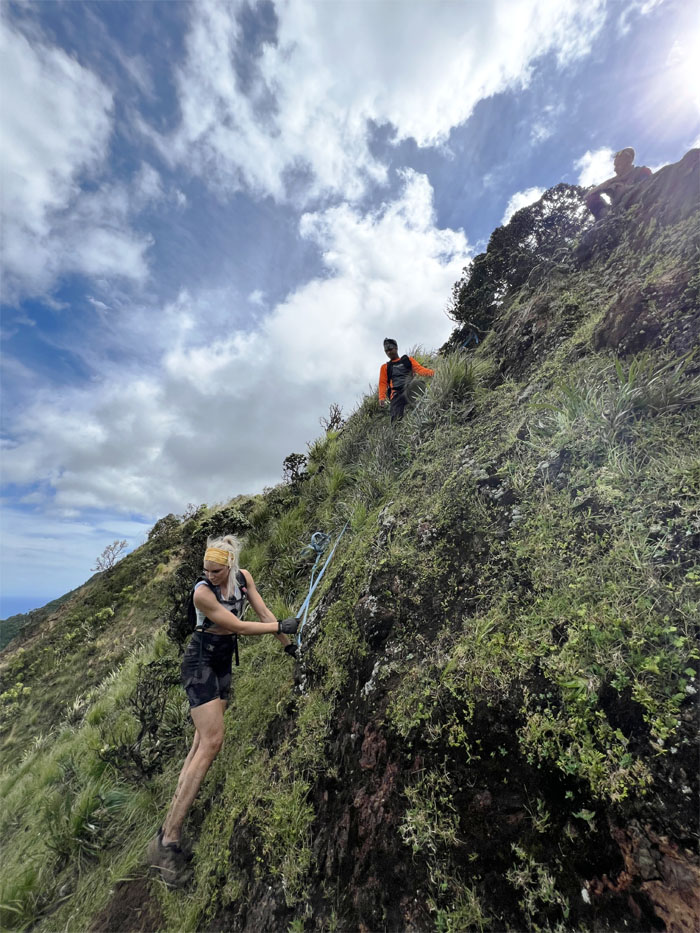
Orion climbing down a particularly steep section of the ridge. Photo by Chris Bautista.
Chris making his way down. Photo by Orion Satori.
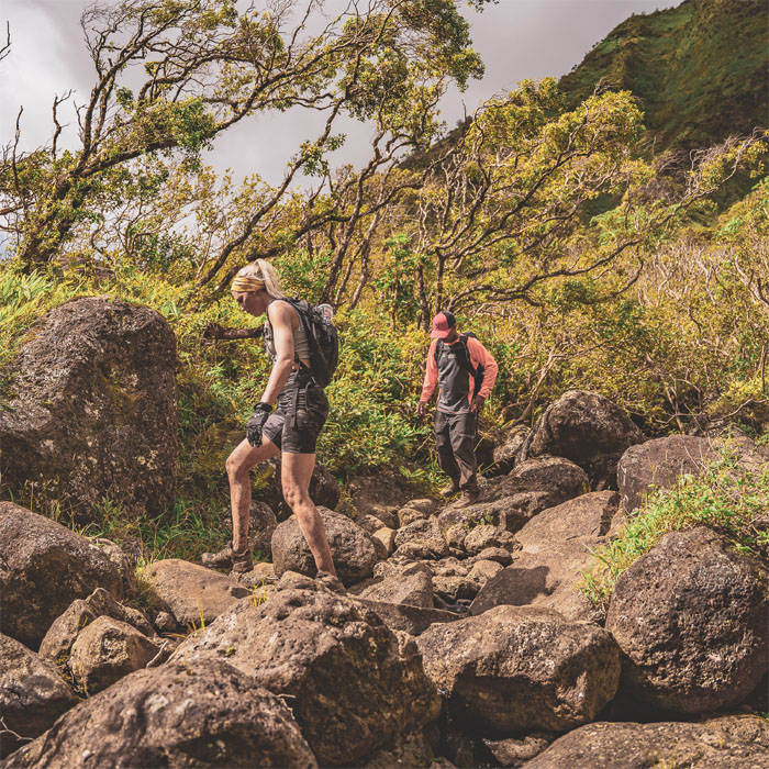
The group climbing down the slippery rocks.
Jackie climbing her way down the Leeward side of the rockface. Photo by Orion Satori.
Chris making his way down. Photo by Orion Satori.
Contouring our way around the ridge with background views of Moanalua Valley.
Back on the crumbly ridge line. Photo by Orion Satori.
Orion with the background of the aptly named obstacle.
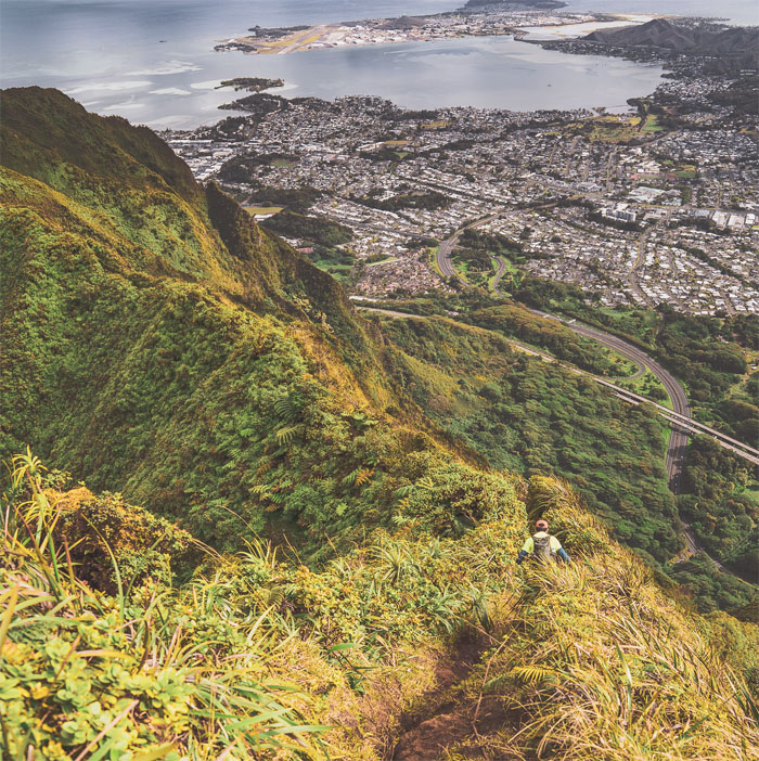
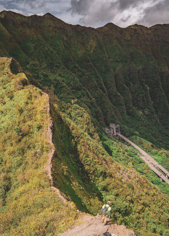
Dropping down the Windward side of the ridge with the bombproof transmitter building down on the valley floor known as the Omega Station. Photo by Chris Bautista.
Jackie contouring her way back to the ridge line.
Looking down at the entrance tunnels for the H3 highway which runs roughly 5,000′ underneath the Ko’olau Mountains. Photo by Orion Satori.
Climbing down the last “tricky” section of the ridge line.
The group coming down the narrow ridge line.
Group photo at the terminus of our ridge line hike.
Going down the spur ridge to hit the valley floor.
Crossing one of 23, 25 or 28 stream crossings. Who’s counting? Photo by Orion Satori.
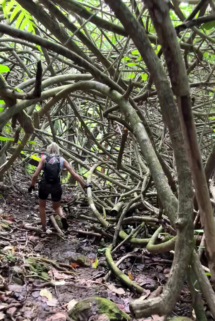
Making our way underneath the twisted canopy of hau tree branches.
Back on the main trail that runs through Moanalua Valley.
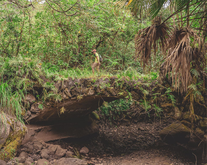
Crossing over one of seven stone bridges that pass over Moanalua stream. Photo by Orion Satori.
The introductory hike was a tad shy of eight miles and served up some challenging terrain with generous servings of spectacular views. Post hike meal at Dave & Busters where Taco Tuesday is now fashionable again.
Note: I have been made aware that some hikers have been using my blog as a hiking guide and getting lost on the trails. Please note that this blog was made to document the hike for the crew(s) that did it. That is why some of my comments will seem to have no relevance or meaning to anybody outside of the crew(s) that hiked that trail. My blog was never meant as a hiking guide, so please do not treat it as such. If you find inspiration and entertainment from these hikes, that is more than enough. If you plan on replicating these hikes, do so in the knowledge that you should do your own research accordingly as trail conditions, access, legalities and so forth are constantly in flux. What was current today is most likely yesterdays news. Please be prepared to accept any risks and responsibilities on your own as you should know your own limitations, experience and abilities before you even set foot on a trail, as even the “simplest” or “easiest” of trails can present potential pitfalls for even the most “experienced” hikers.


{ 2 comments… read them below or add one }
Great pics of an amazing adventure! I heard the ropes are no longer there..someone I know went up first week of December
Aloha Aida,
Thanks. I talked to Chris who just did it this past week and he said everything is still there.
Mahalo