Met up with Bill, Lilyn and Shirley to spend Easter in the mountains this weekend.
Thanks to Jalen who dropped us off and wished us well on our “painful” hike, how did he know?
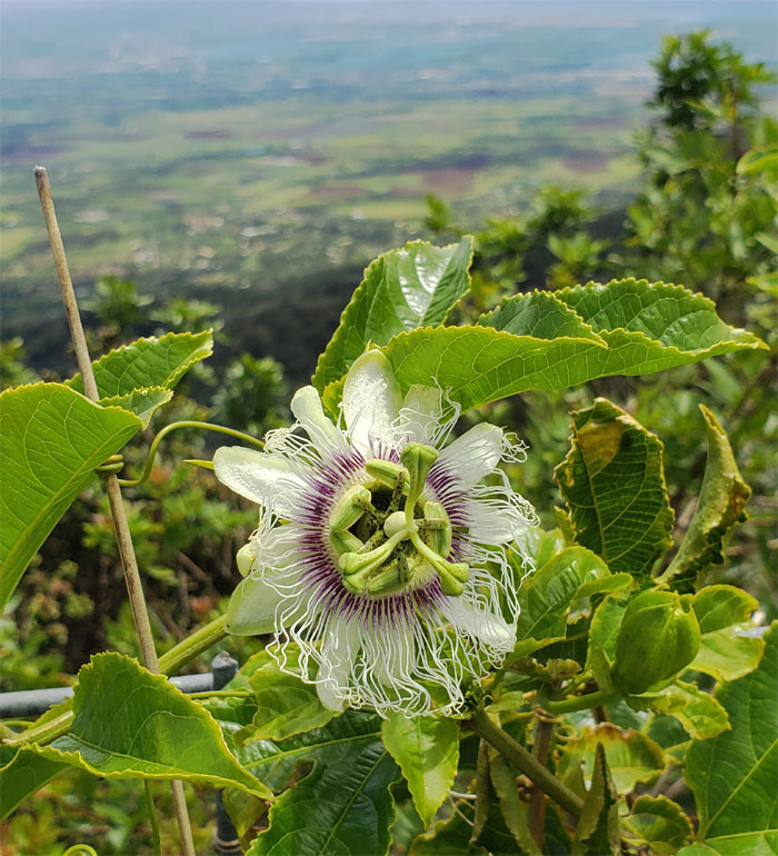
Grow them and they will come. Photo by Lilyn Avendano.
Heading towards the tree line. We missed it by that much. Photo by Lilyn Avendano.
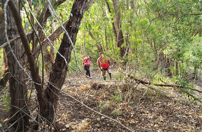
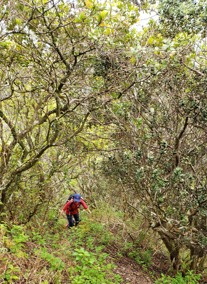
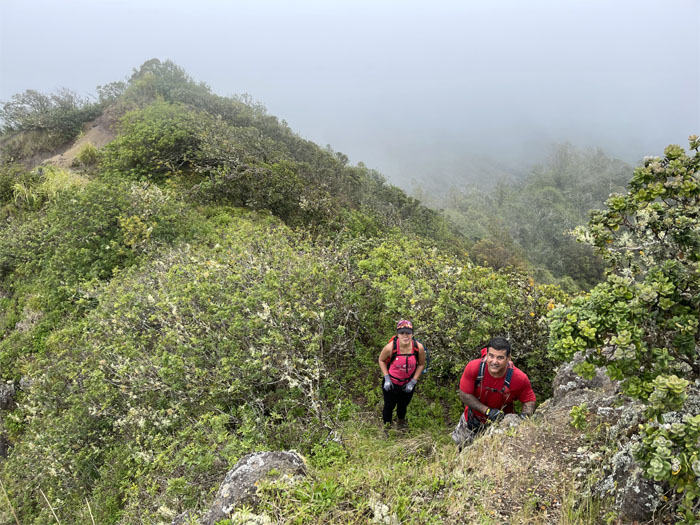
Making our way up the short and stiff spur ridge.
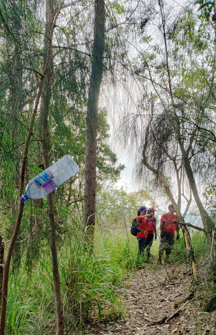
The trail was a marked departure from the last time I hiked it three years ago, as some folks had cleared the overgrowth and marked the trail. We also found somebody’s stash of chemical leached bottled water. Photo by Lilyn Avendano.
We soon met up with the firebreak road that contours on the Windward side of the Waianae Mountain Range. Photo by Lilyn Avendano.
Leaving the trail that spans from Kolekole Pass to Palehua Road.
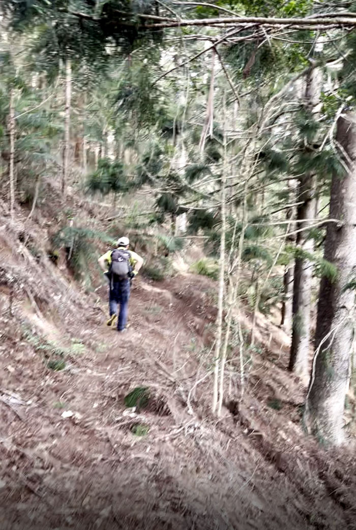
Following the trail which soon dipped into a saddle.
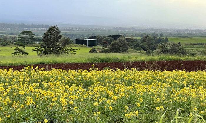
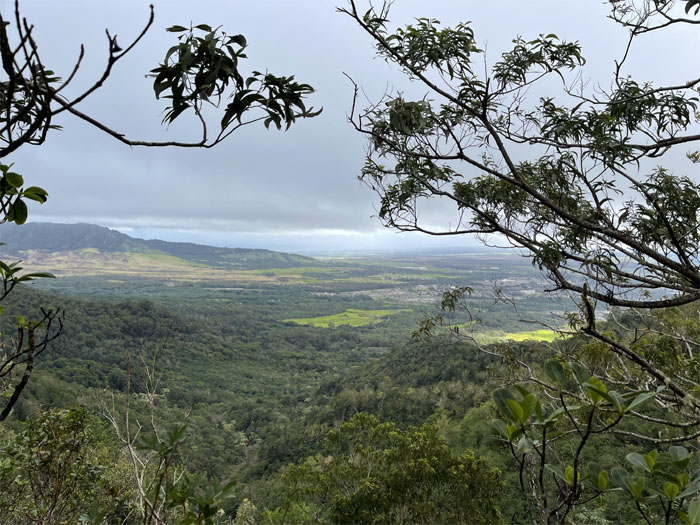
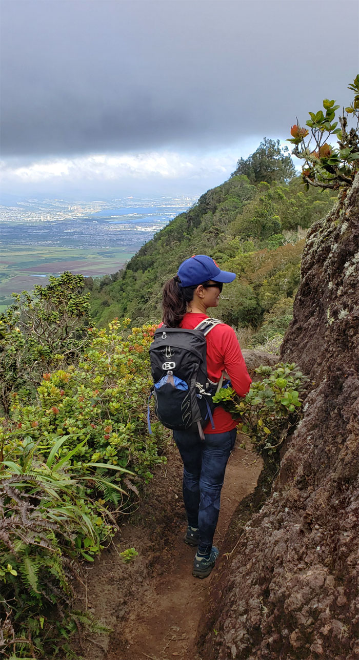
Looking back into the Kunia farm lands as we gained elevation in the mountains. Photo by Lilyn Avendano.
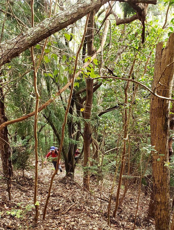
Lilyn climbing out of the saddle and up to the WST.
Stepping foot on the eroded remains of an ancient shield volcano. Photo by Lilyn Avendano.
Looking back as the rest of the crew emerged from the spur trail.
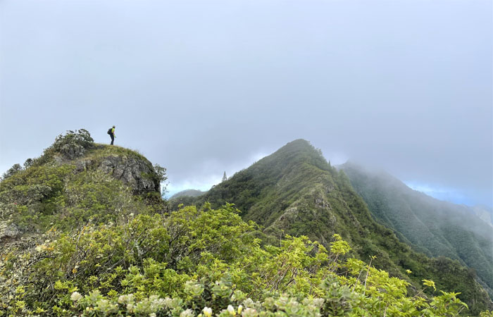
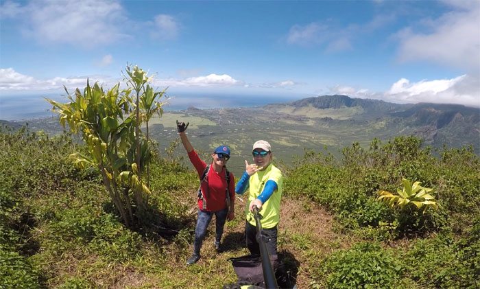
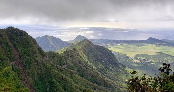
We topped out on the ridge line just shy of Pu’u Kanehoa to be met by stiff winds and spectacular views wherever we cast our wandering eyes. Photo by Lilyn Avendano.
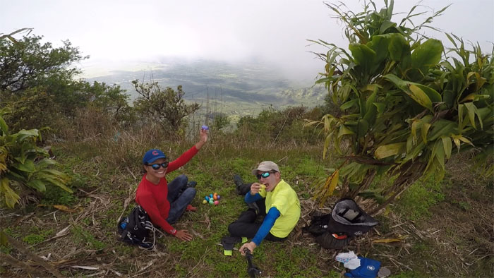
The only sheltered spot on the ridge line from the gusting winds that dropped the air temperature and discouraged some from continuing the hike. Photo by Lilyn Avendano.
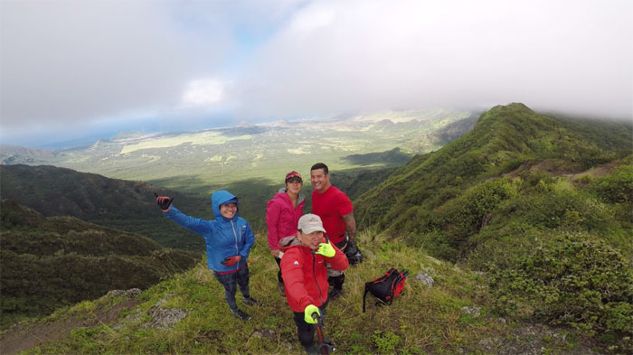
Photo of our group before we dwindled down to a pair of hikers.
Bill and Shirley decided to explore the sheltered trails at lower elevations. Photo by Lilyn Avendano.
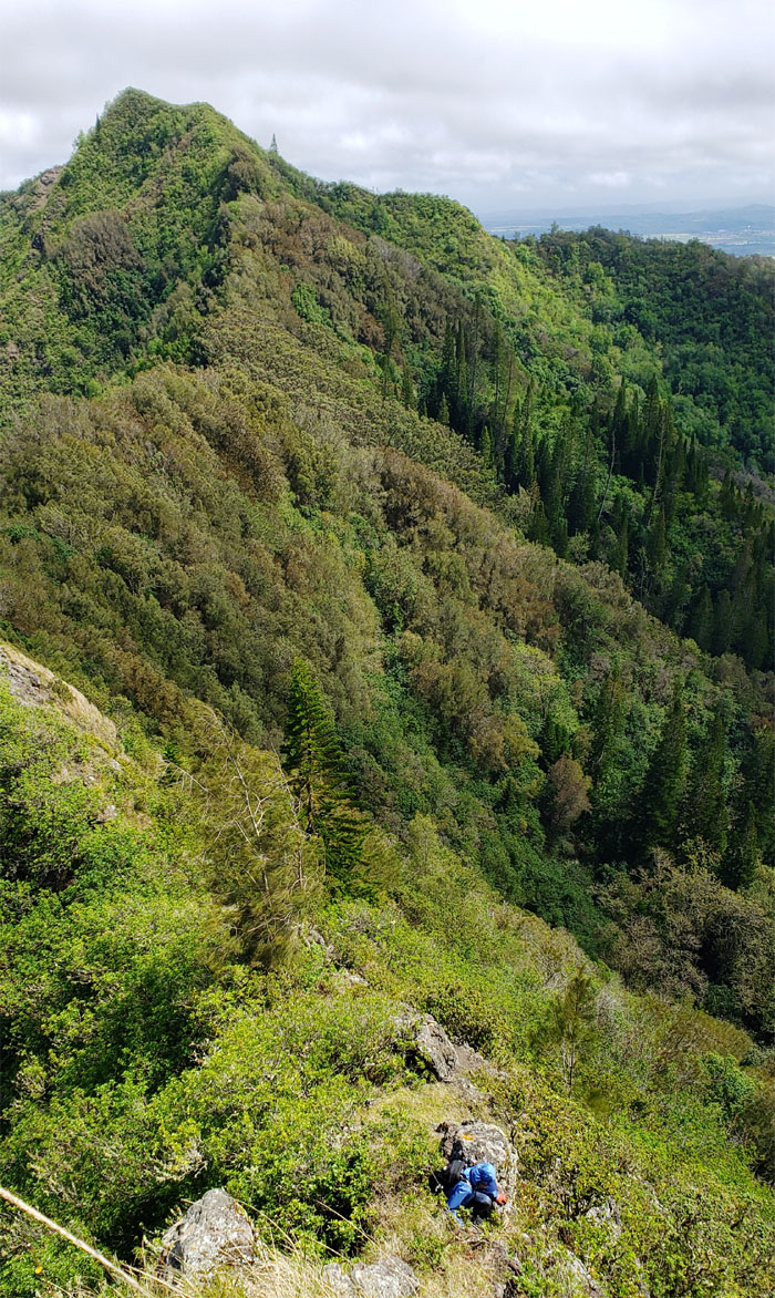
Dropping down the side of the rock face. Photo by Lilyn Avendano.
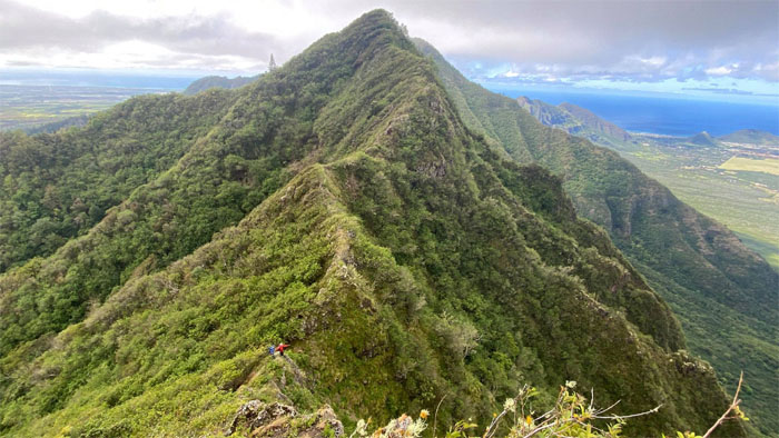
Two dots on the ridge line. Photo by Shirley Gloriani.
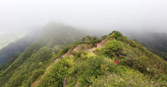
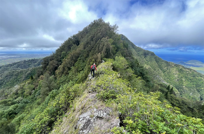
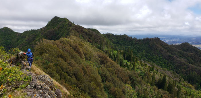
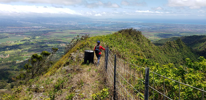
Lilyn making her way on the exposed ridge line buffeted by the strong winds. Nature’s air conditioning.
Ready to plunge into the forested spot of the ridge line. Photo by Lilyn Avendano.
Breaking out of the forest and back onto the exposed ridge line.
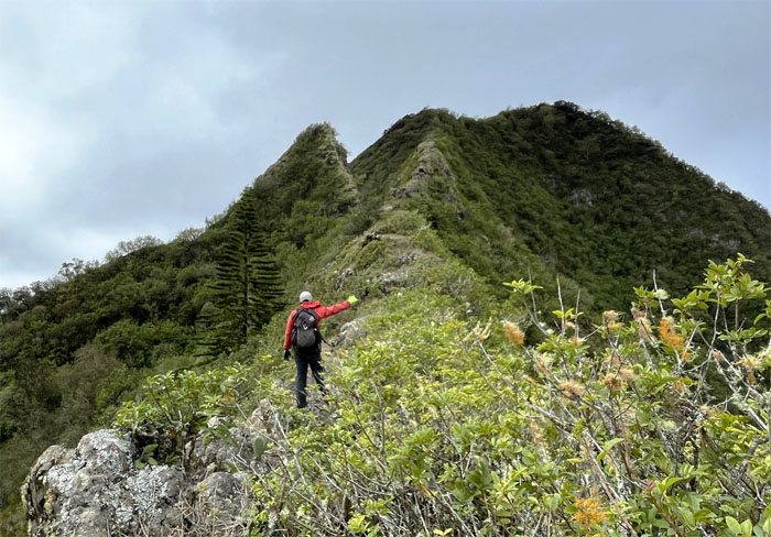
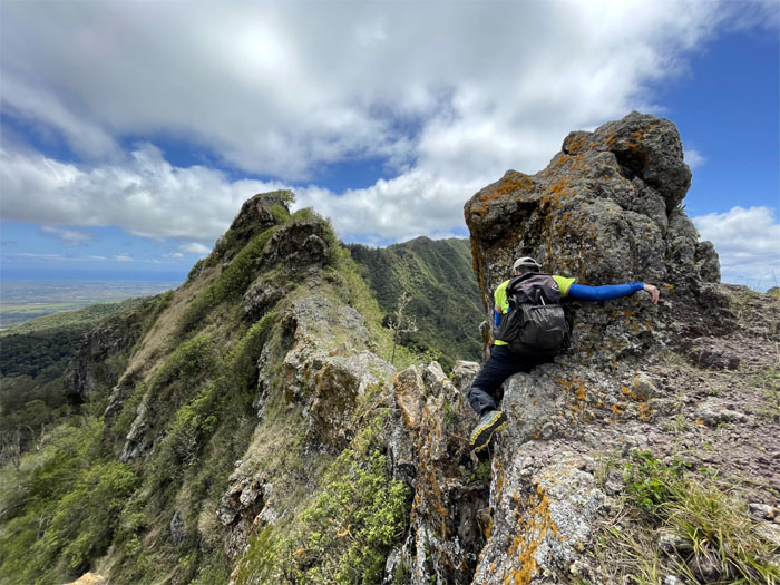
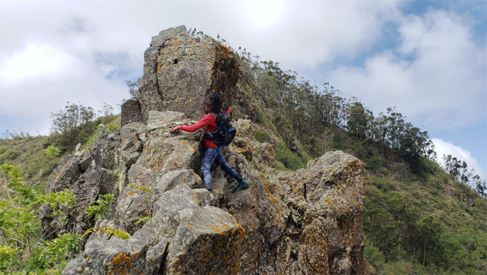
Meeting up with the first pair of obstacles. One small and one big. Photo by Lilyn Avendano.
Lilyn working her way up the smaller rock face.
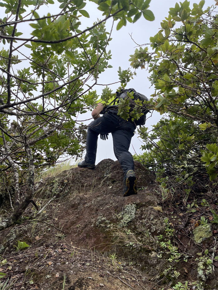
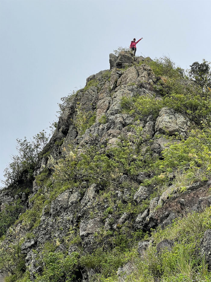
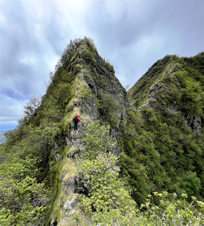
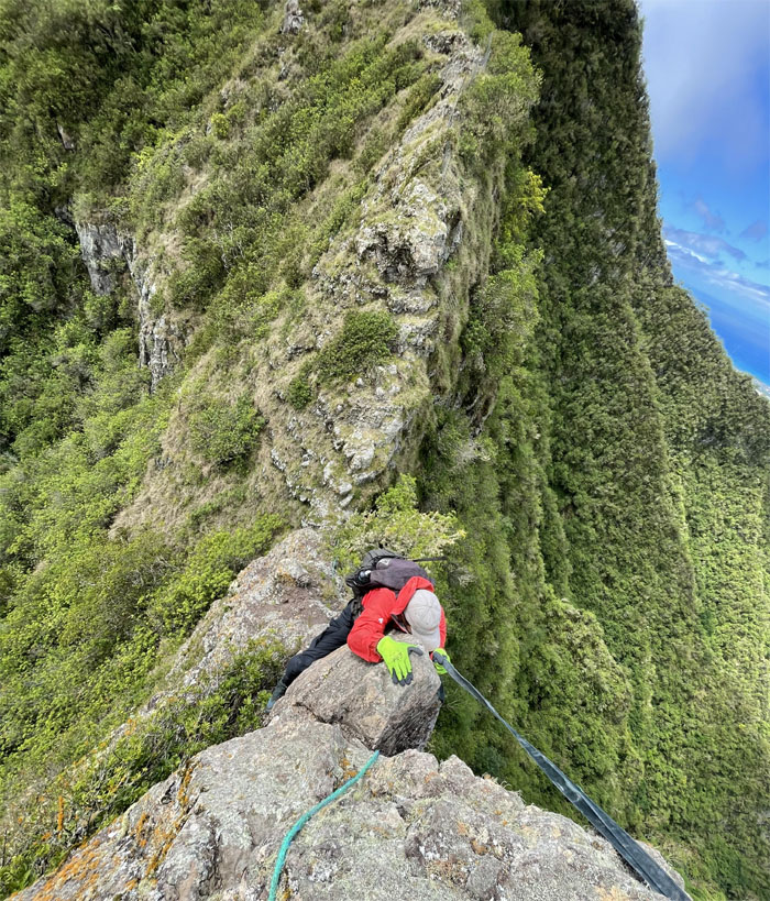
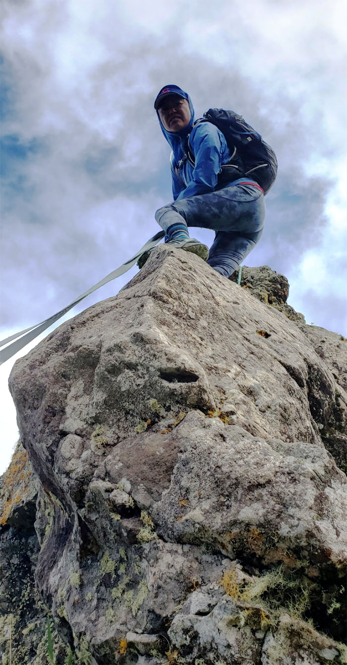
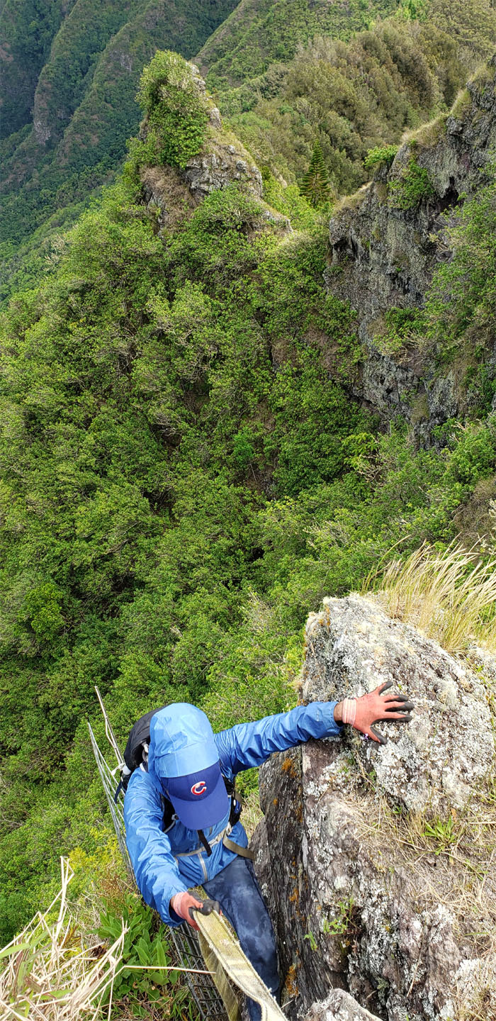
Climbing up the bigger head. Webbing optional. Photo by Lilyn Avendano.
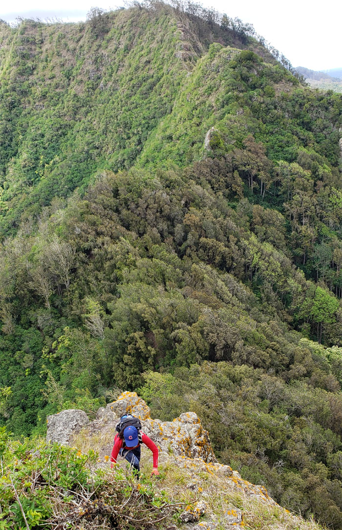
Lilyn climbing up while trying not to lose her Chicago Cubs hat. No mean feat by itself in these windy conditions.
Going down the backside. Photo by Lilyn Avendano.
Lilyn looking for her next foothold or spot.
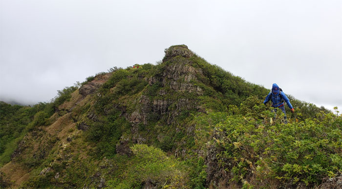
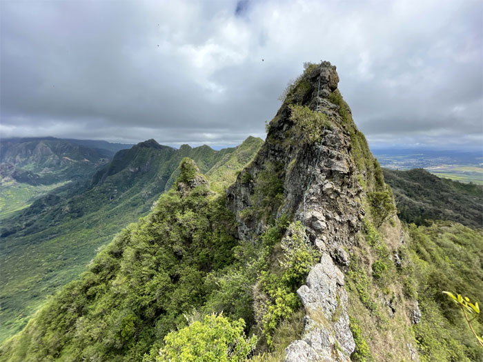
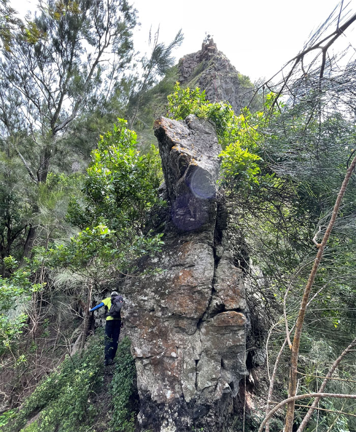
Can you see the primate for the rocks? Photo by Lilyn Avendano.
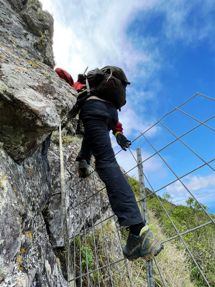
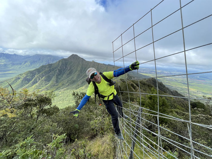
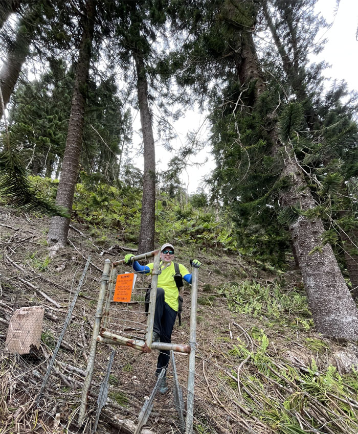
Fence hopping. Photo by Lilyn Avendano.
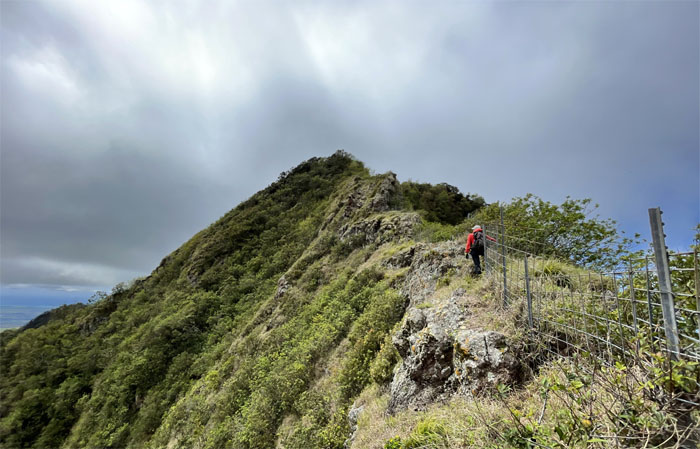
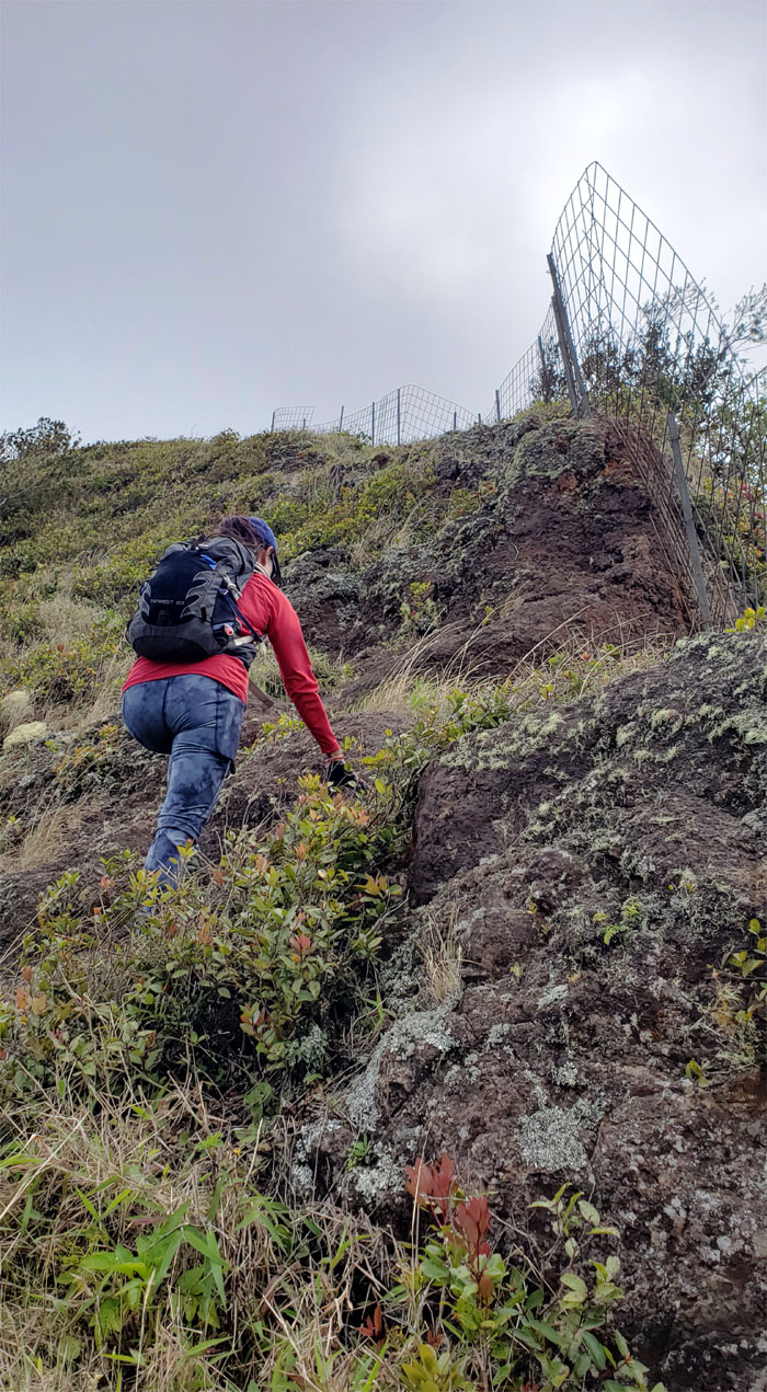
Going up through the fence line that was interrupted by the rocky ridge line.
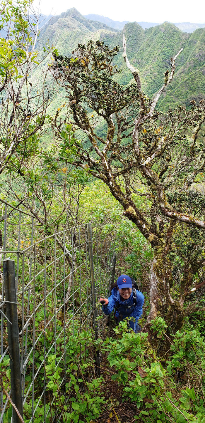
Climbing up the fenced hill. Photo by Lilyn Avendano.
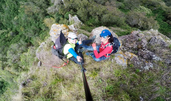
Lilyn overlooking the Gorilla Heads.
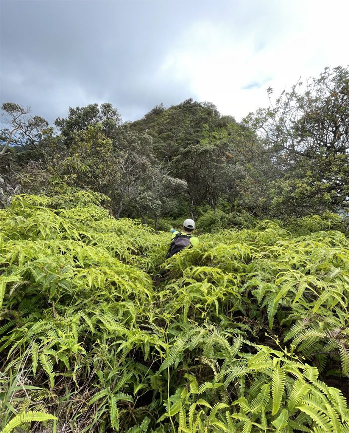
We resumed our hilly climb to be briefly interrupted by several nasty patches of uluhe overgrowth before reaching the third highest peak.
Photo from the remarkably cleared 3,127′ summit.
Leaving the summit and following the fence line where some spots of the trail were littered with non-potable water jugs and barrels.
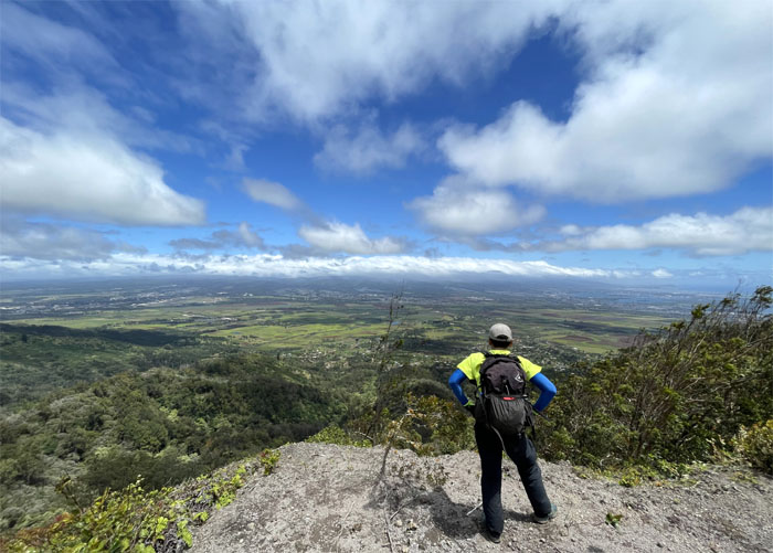
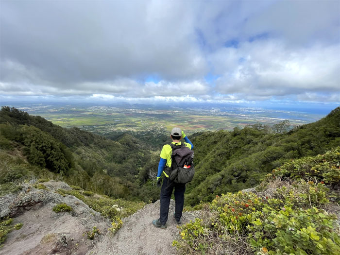
Enjoying the central plains view. Photo by Lilyn Avendano.
We soon left the fence line behind us and started our program of rock climbing. Photo by Lilyn Avendano.
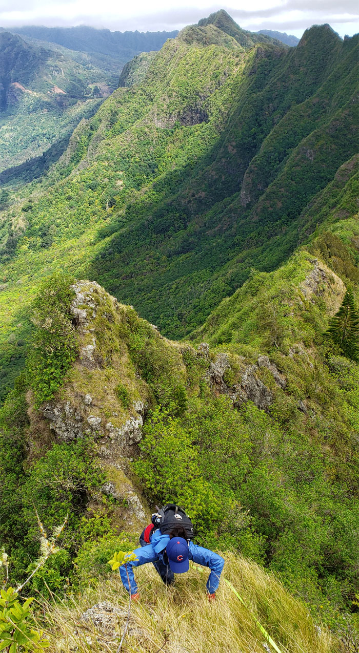
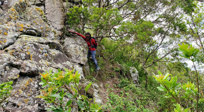
Lilyn angling her way down one of the rock climbs.
Low center of gravity. Photo by Lilyn Avendano.
High center of gravity.
Lilyn contouring her way down the short and steep climb.
Going down a short drop. Photo by Lilyn Avendano.
It was butterfly time as we made our way towards the imposing 80′ crumbly cliff. Photo by Lilyn Avendano.
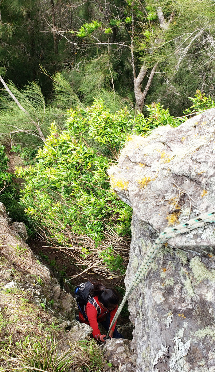
Lilyn climbing up towards the base of the pass using ropes that have seen better days.
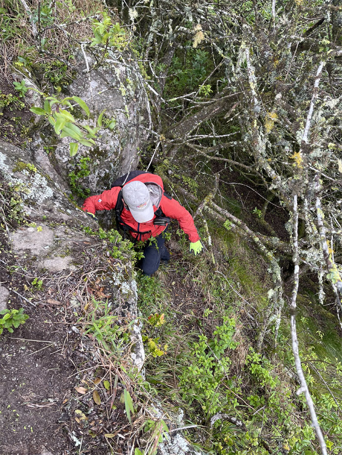
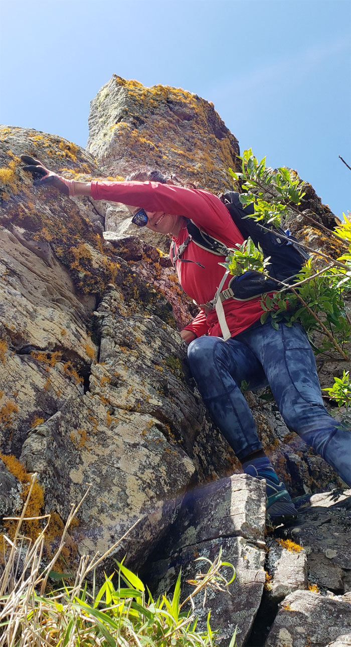
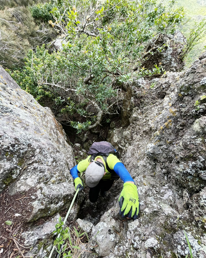
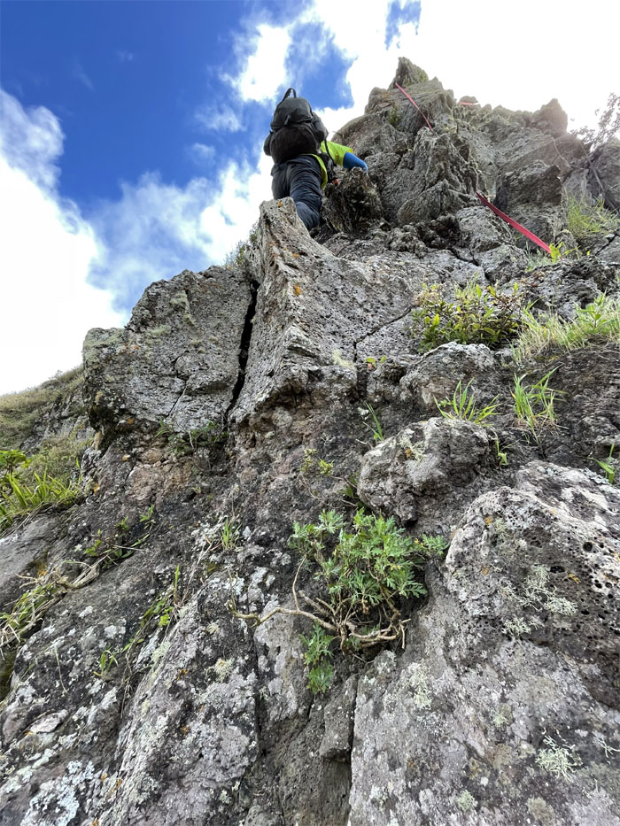
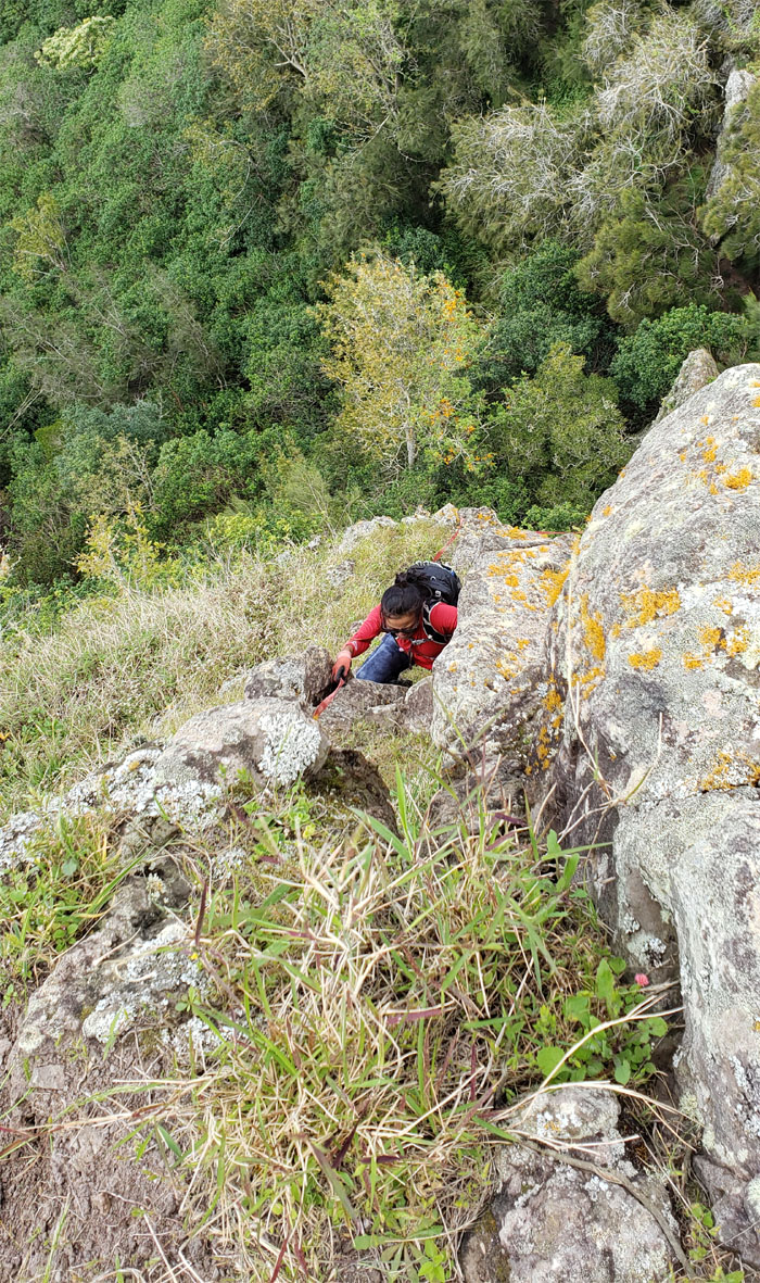
Climbing straight up, always mindful of the chossy rocks. Photo by Lilyn Avendano.
Like somebody said, pictures do not do this climb justice.
We both passed the pass.
Lilyn scrambling back up the ridge line, thinking all the hard stuff was behind us. Think again.
So far, so good.
Enjoying the windy views. Photo by Lilyn Avendano.
Pushing up the last big hill. Promise?
We had to jump the fence line multiple times to stay on trail. Photo by Lilyn Avendano.
The suffocating uluhe overgrowth and the seemingly never ending false peaks were exhausting and irritating. This was the hardest section according to the backseat hiker. Photo by Lilyn Avendano.
Looking at our original exit route which got tossed out due to lack of time. I also switched my music from headset to speaker to serve as a pseudo-navigational aid, as the overgrowth and multiple trails were a tad confusing. It also helped to drown out the broken record. I didn’t know record players could work in the mountains.
Happy Easter from the 3,098′ ti leaf summit where I marked my sixth time finishing the WST.
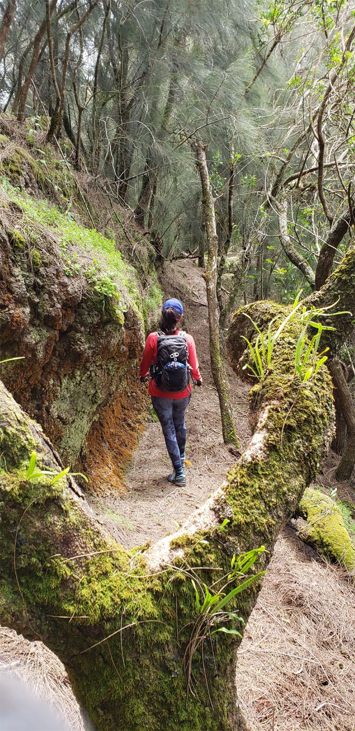
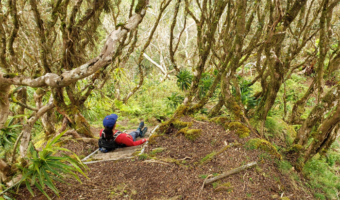
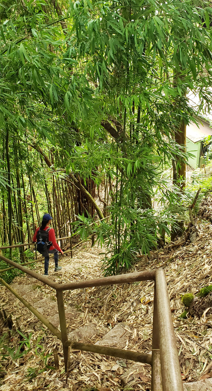
Crossing through forest land teeming with native fauna and flora.
Keeping the feral ungulates out but the two legged primates in. Or something like that. Photo by Lilyn Avendano.
Leaving the pine tree forest behind us as we enjoyed central and town views on our way out.
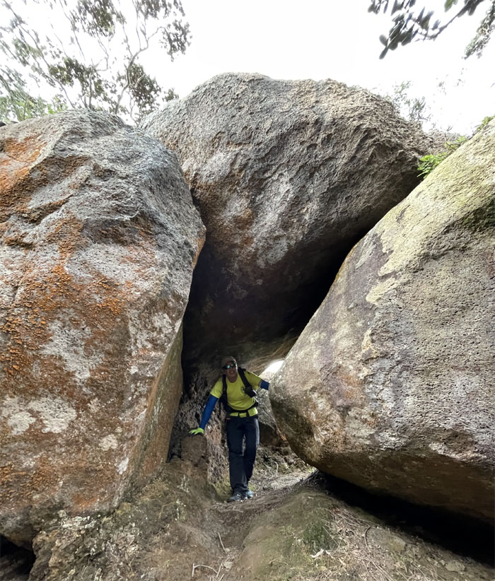
Rolling through the Indiana Jones boulder tunnel. Photo by Lilyn Avendano.
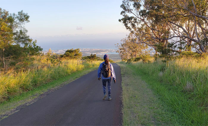
End of the trail for us but the beginning of the long ass road that winded down to Makakilo.
Pounding the pavement as several cars passed us on the road, all failing to follow protocol.
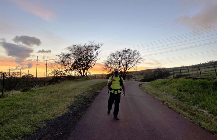
Hit the road, Jack. And don’t you come back. No more, no more, no more, no more. Hit the road, Jack. And don’t you come back no more. A more lyrical interpretation of the greeting we received at the end of the road. Thanks to Bill and Shirley for picking us up and giving us cold carbonated beverages. Photo by Lilyn Avendano.
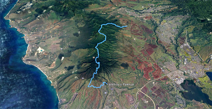
Our 12 plus mile covered the hardest climbing section of the WST, made even more taxing by the annoying overgrowth. Post hike meal at McDonald’s where we locked our doors for peace of mind as we ate our cholesterol drenched food.
Note: I have been made aware that some hikers have been using my blog as a hiking guide and getting lost on the trails. Please note that this blog was made to document the hike for the crew(s) that did it. That is why some of my comments will seem to have no relevance or meaning to anybody outside of the crew(s) that hiked that trail. My blog was never meant as a hiking guide, so please do not treat it as such. If you find inspiration and entertainment from these hikes, that is more than enough. If you plan on replicating these hikes, do so in the knowledge that you should do your own research accordingly as trail conditions, access, legalities and so forth are constantly in flux. What was current today is most likely yesterdays news. Please be prepared to accept any risks and responsibilities on your own as you should know your own limitations, experience and abilities before you even set foot on a trail, as even the “simplest” or “easiest” of trails can present potential pitfalls for even the most “experienced” hikers.




{ 2 comments… read them below or add one }
I’m glad I finally got to do this one. Mahalo for taking me!
Aloha Lilyn,
Thanks for coming. Great job.
Mahalo