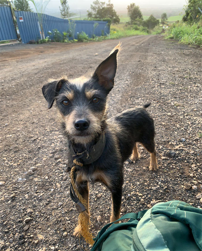
Back on the west side for sunshine and rain showers. Equal parts. Met up with Chris, Lilyn, Quan and Tessa in Kunia to start our hike as the chickens and dogs announced our arrival.
Who let the dog out? Give me food or I’ll bark and/or bite. All five pounds of me.
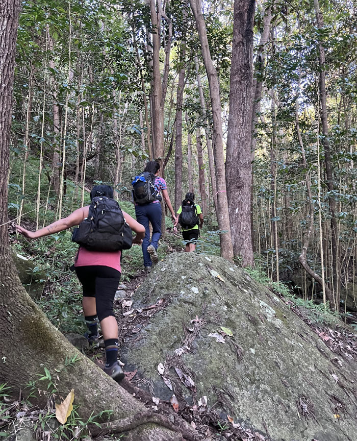
We passed the 1959 Punahou Memorial Grove as the trail wound its way through the forest floor carpeted with kukui nut shells.
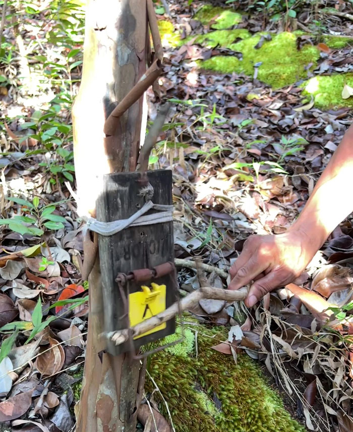
The sight and smell of a pig pseudo rat hanging on the fence made somebody’s day.
No rodents were harmed in the testing of this rat trap. The irony.
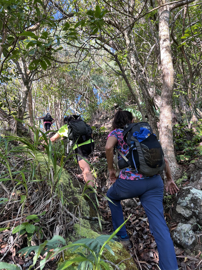
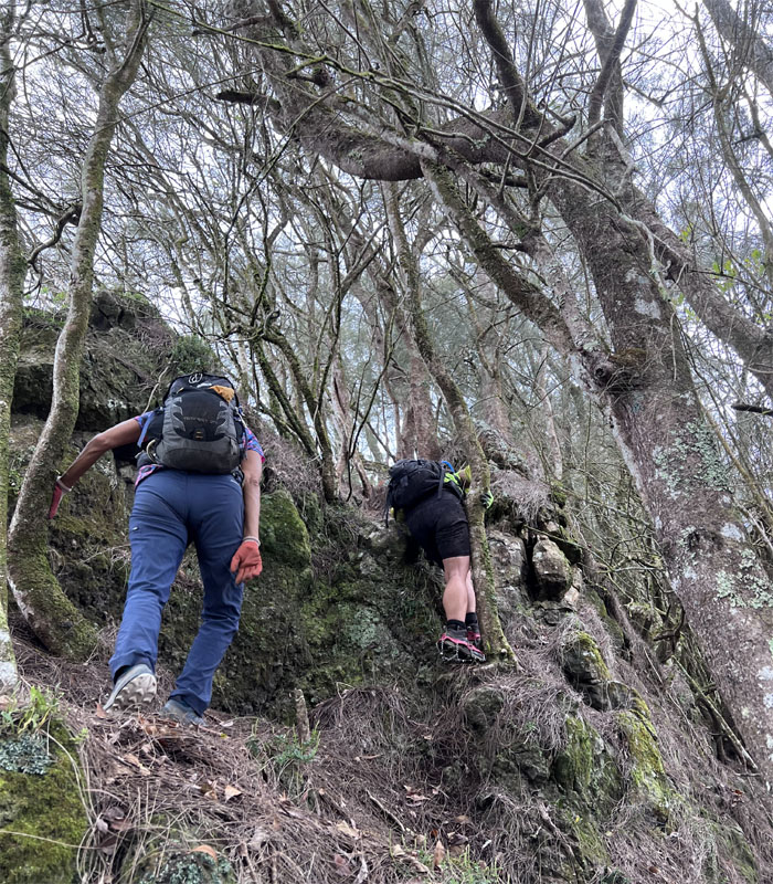
The pitch of the trail picked up as the kukui nuts were soon replaced with a thick carpet of leaves which at times made the footing slippery.
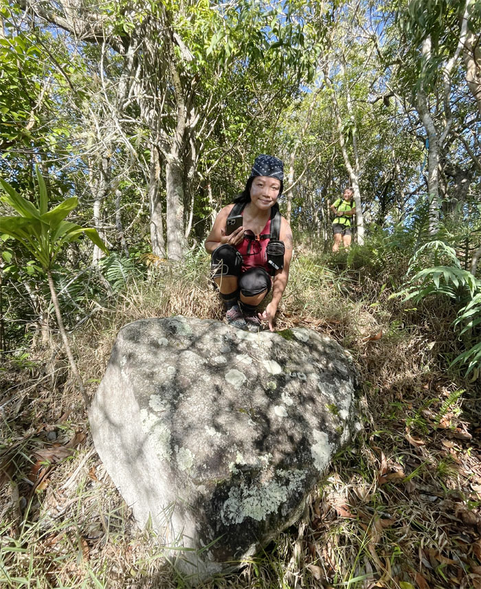
Lonely hearts rock.
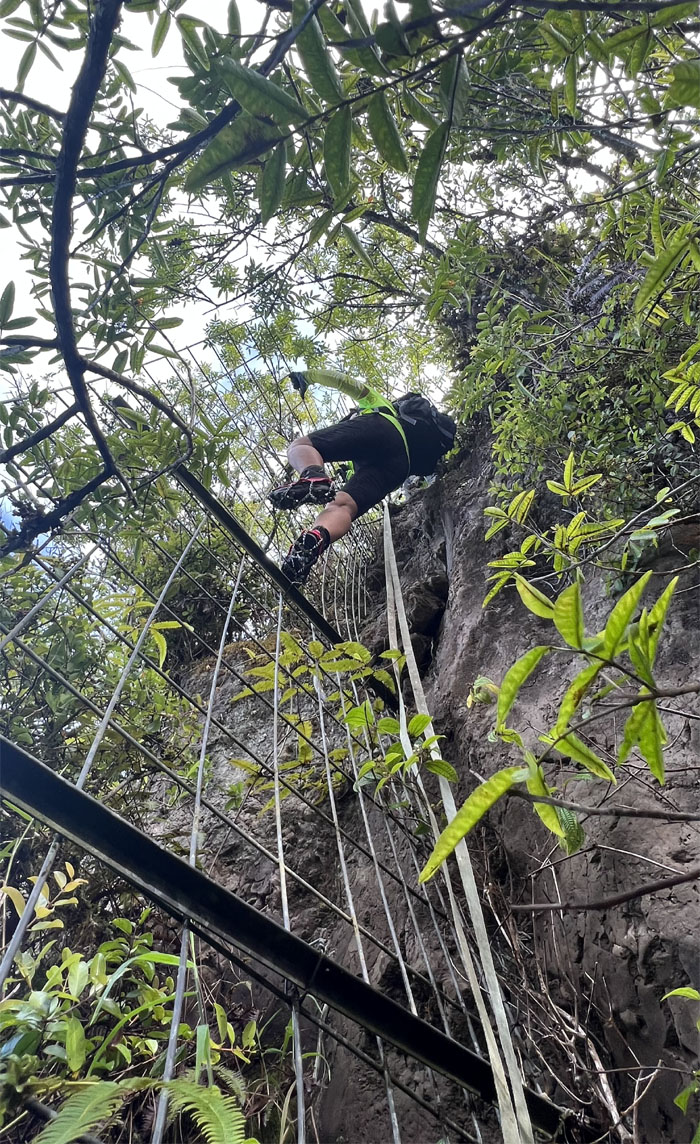
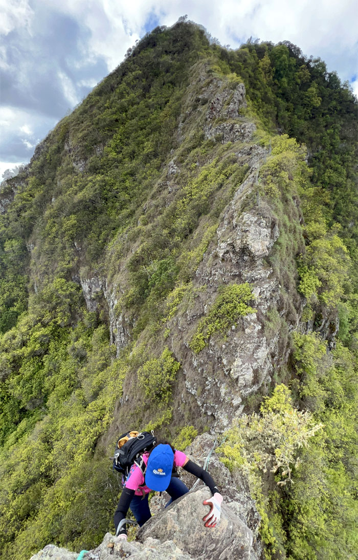
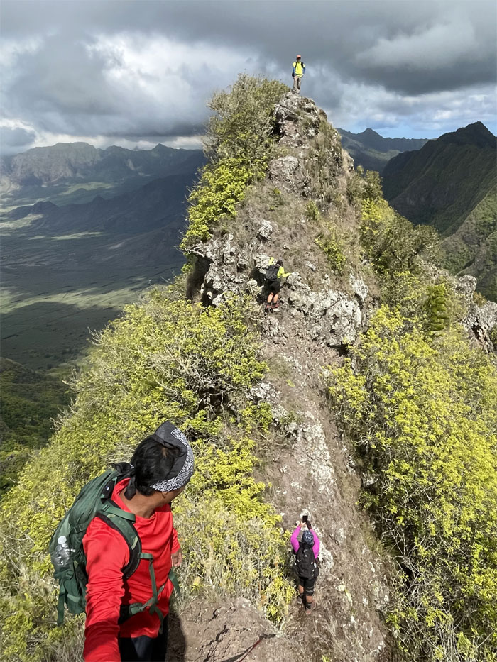
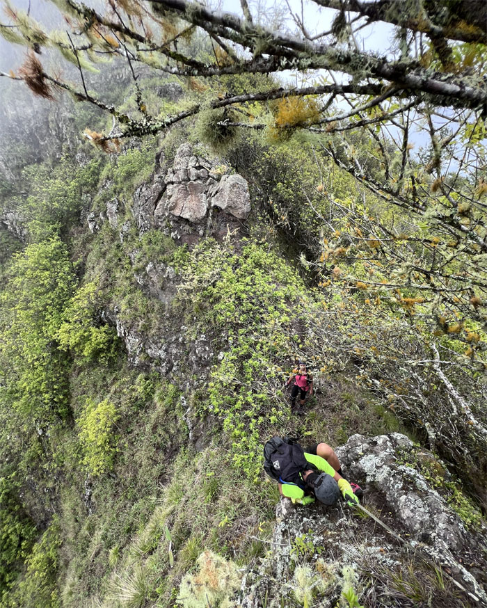
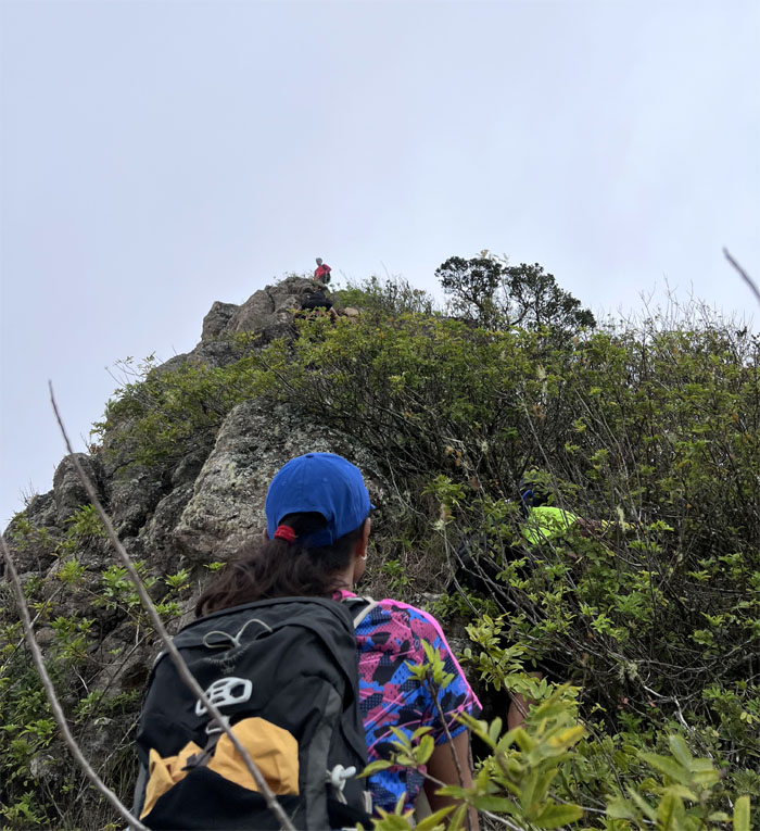
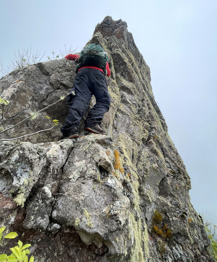
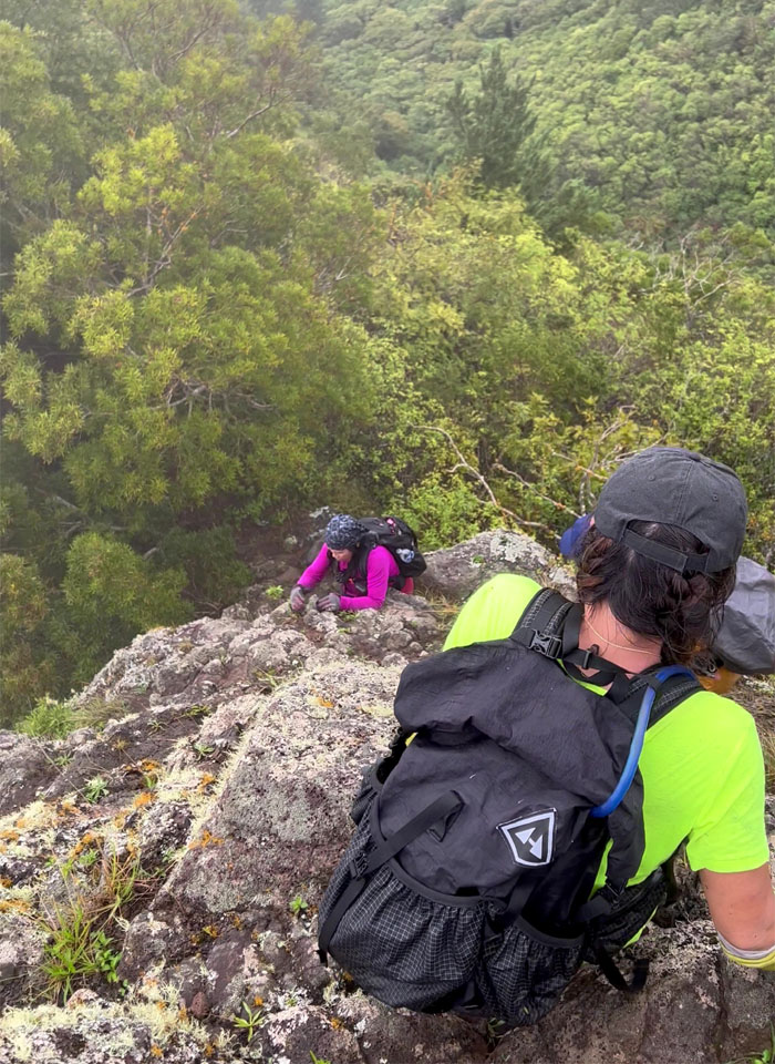
Quan climbing towards the summit that was marked with steep climbs and ropes and webbing of indeterminate age.
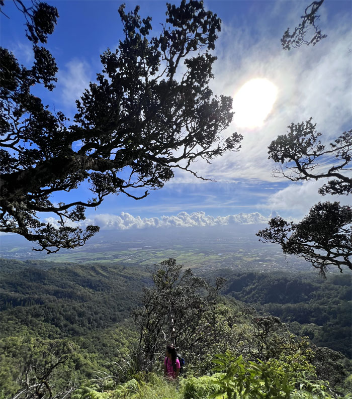
Looking back at the central plains as we neared the top.
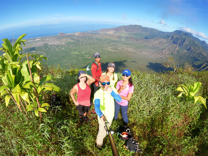
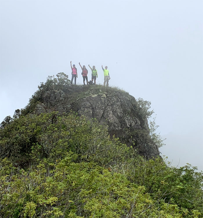
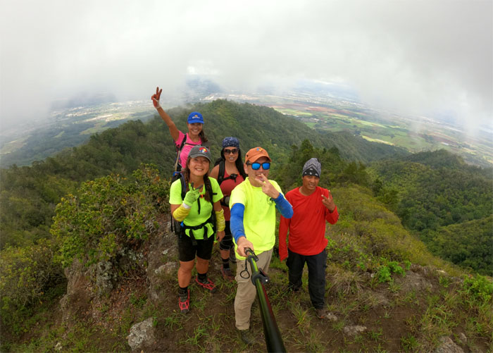
Group photo at the ti leaf marked 3,127′ summit, the third or fourth highest peak on the island. Depends on whom you ask.
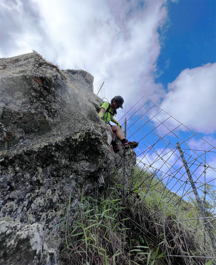
We left the summit and some of the group decided to climb the fence instead of contouring. To each their own.
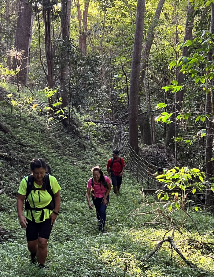
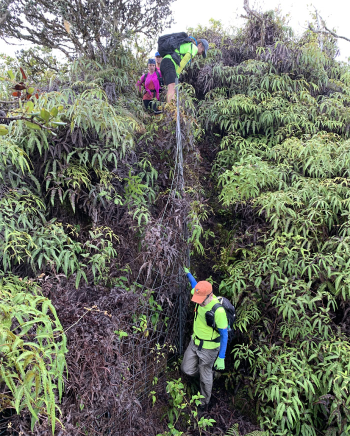
Going down the uluhe fern corridor sliced open by the fence line.
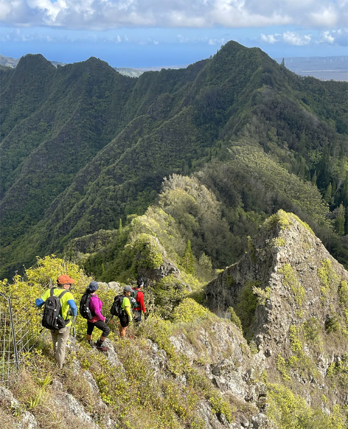
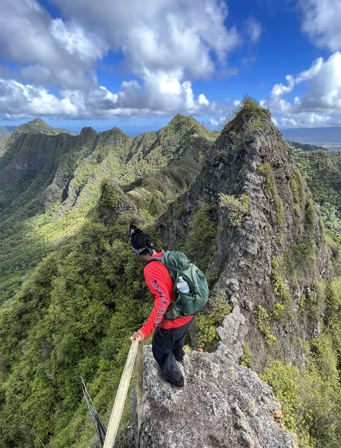
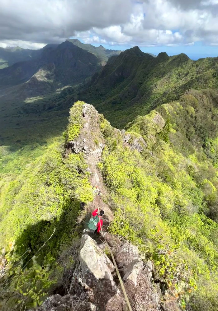
Dropping down the fenced ridge line as the twin obstacles started to get larger than life.
Going down the front way. Where is everybody?
The rest of the group decided to follow the webbing and contour their way down. To each their own.
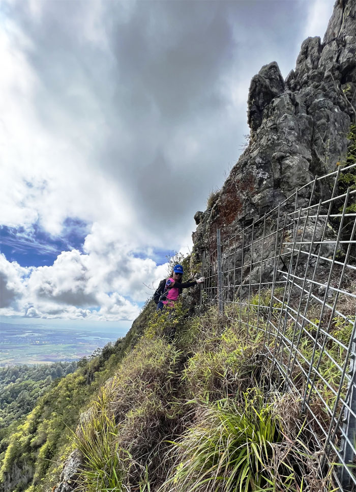
Lilyn following the fence line back to the ridge.
Chris trying to see if he could climb down without using the fence.
In the end, everybody used the fence.
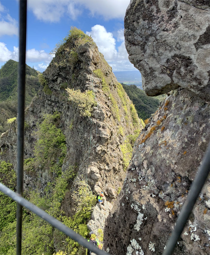
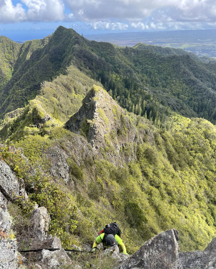
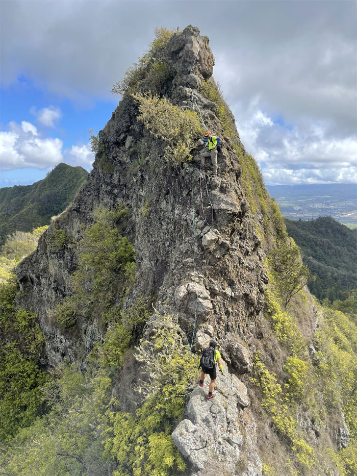
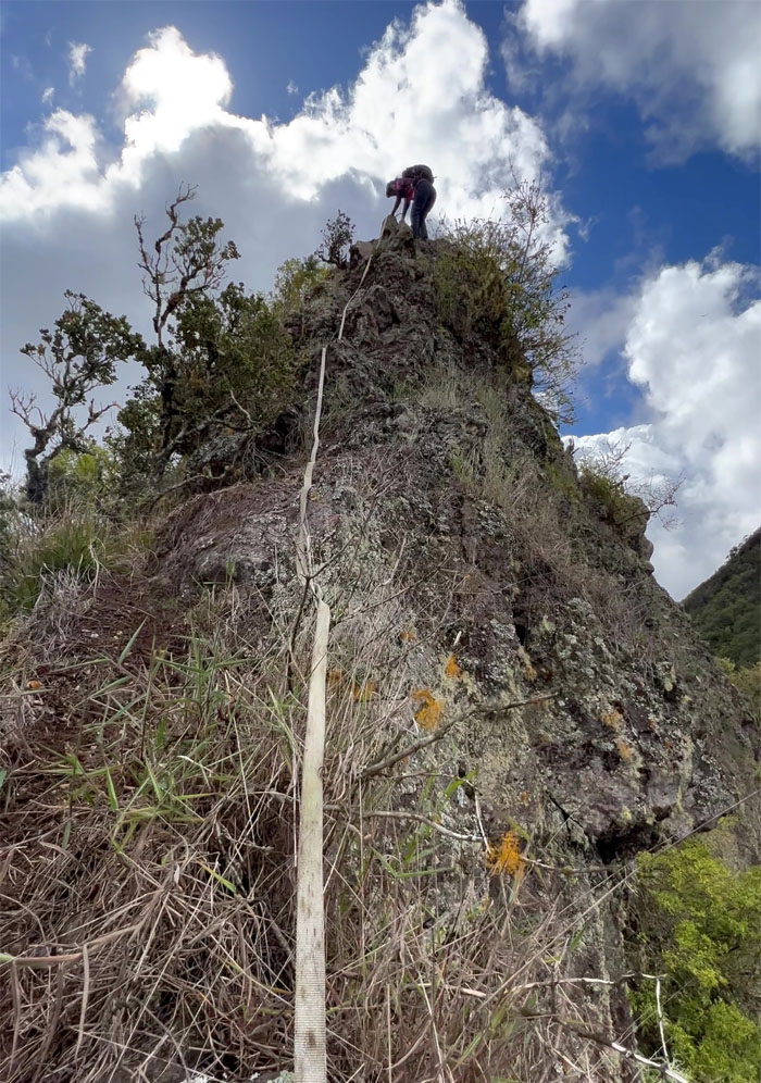
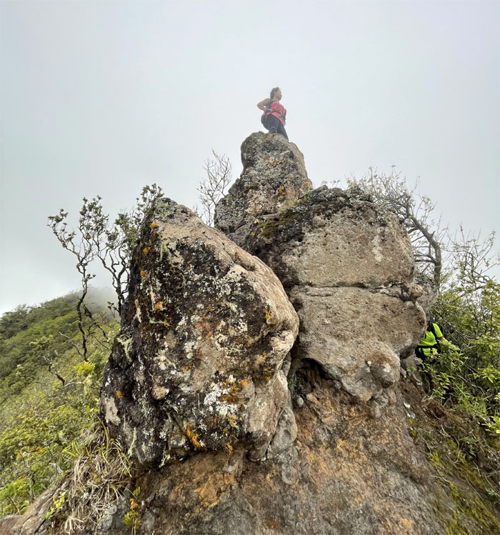
Climbing up the first and bigger of the Gorilla Heads. Visiting hours are open.
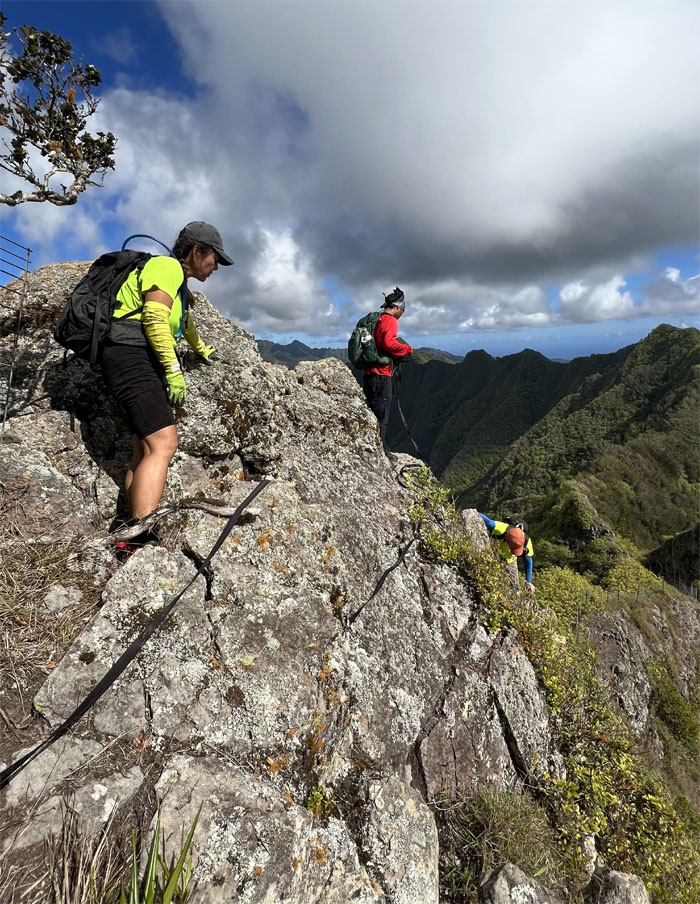
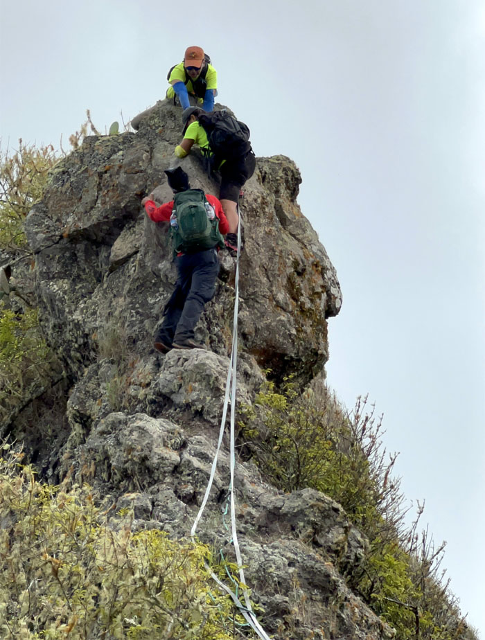
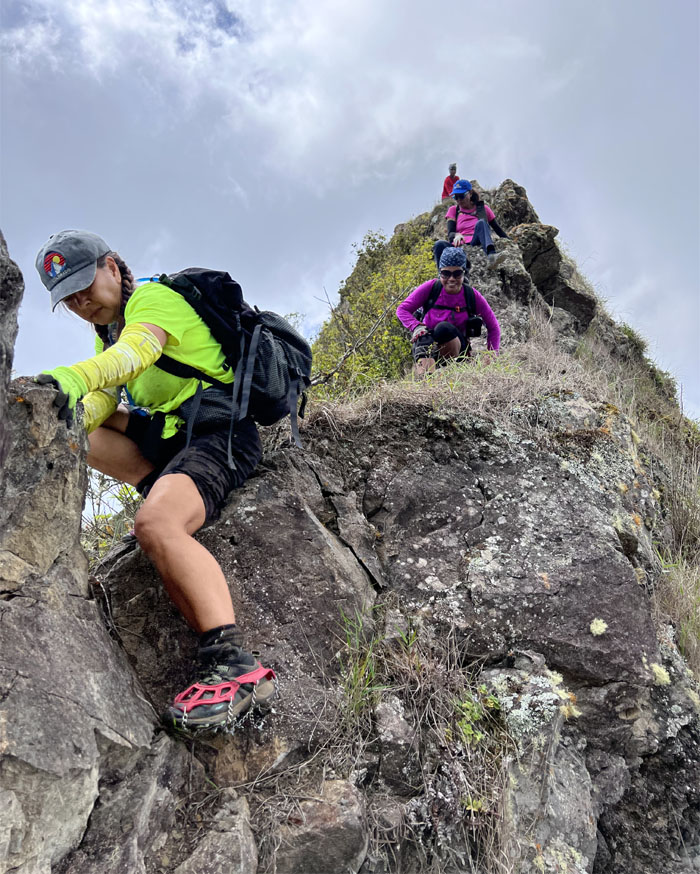
Push and pull gets the job done.
Lilyn pulling herself up and over the boulder.
Chris going down face first.
Lilyn coming down the steeper section of the obstacle. Maybe it’s just the angle.
No acting was involved in the taking of this photo.
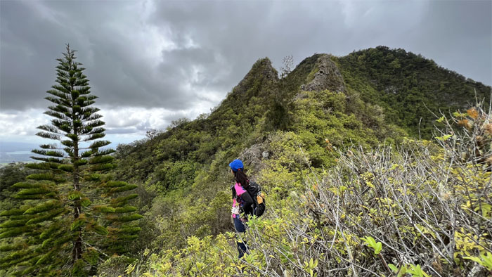
Traversing to the smaller simian shaped rock. It’s all about angles and perspectives.
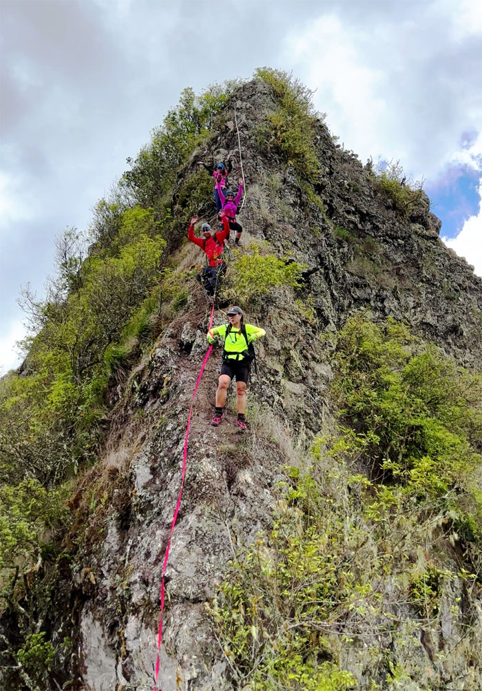
The group coming down the last Gorilla Head.
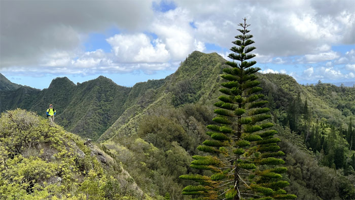
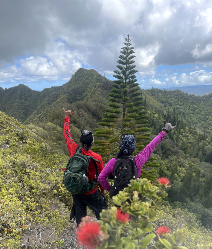
O Tannenbaum to be later corrupted to O Christmas Tree. The German song was originally written about a fir tree and later came to be adopted by the Christmas camp.
All that’s missing is the mistletoe.
Looking back at the twin rock formations. Visting hours are over.
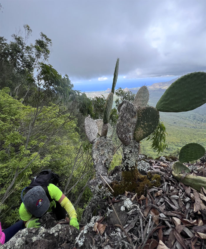
The cactus are not your friend in the mountains. Look but don’t touch.
Making our way through the pine needle carpeted forest.
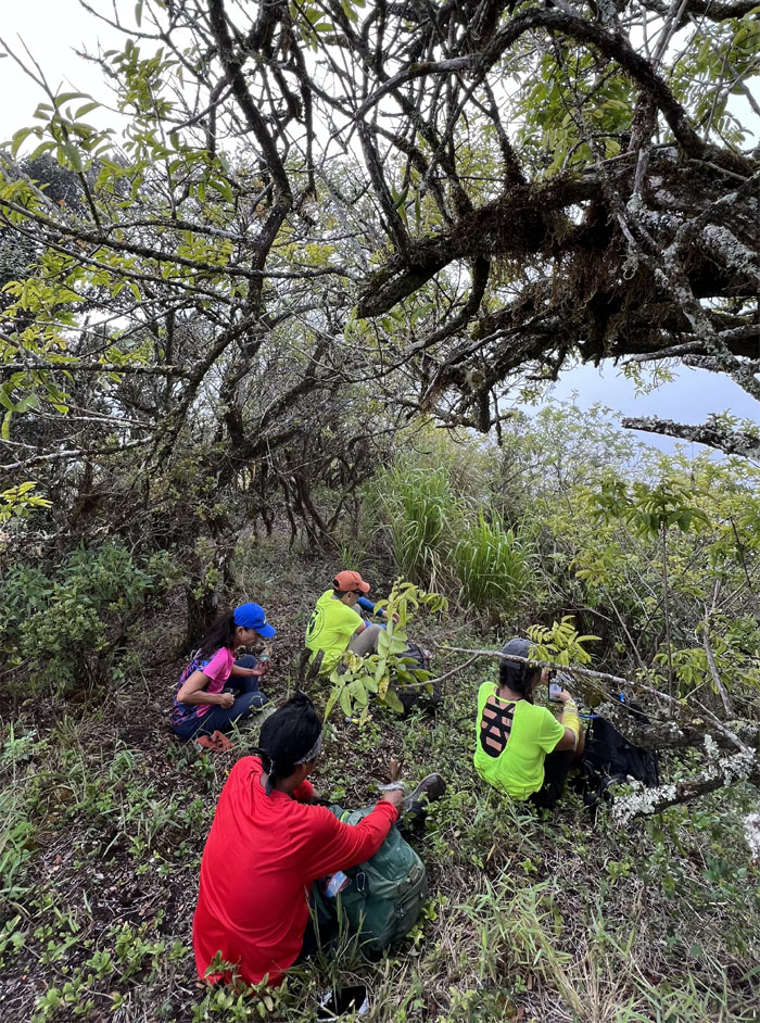
Somewhere in the mountains, it’s lunchtime.
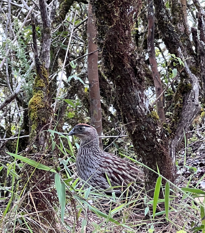
Somebody wanted to join us for lunch or be lunch.
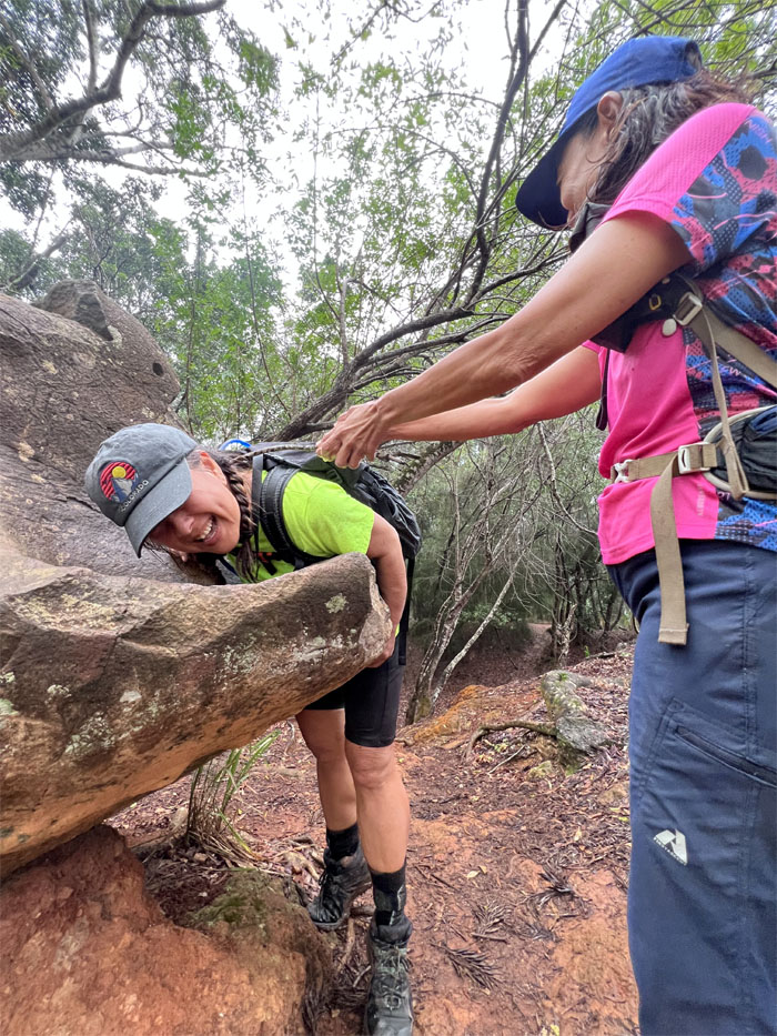
Quan lowering herself down the rocks before going back up.
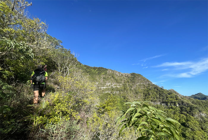
Pushing through the tangled mess of overgrowth to reach the flat topped peak.
Come back so we can take a group photo!
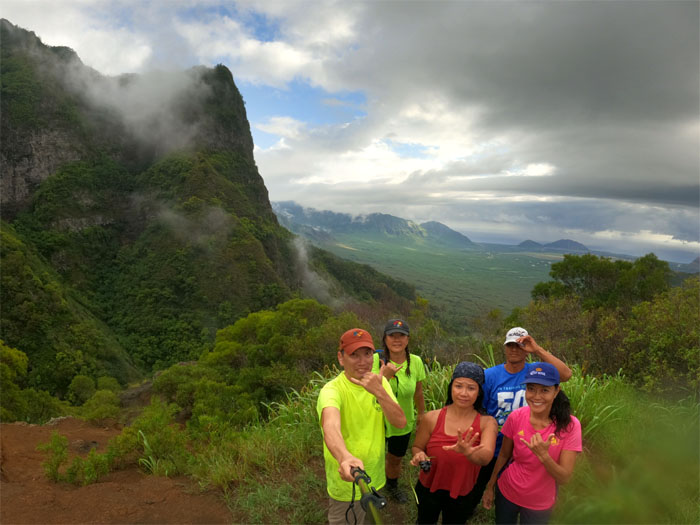
Group photo at the 2,728′ summit, our second summit. No, we are not flashing peace signs.
Chris passing over a severly eroded section of the trail, where another side trail takes one down to Kunia if so desired.
Take my photo!
Me too!
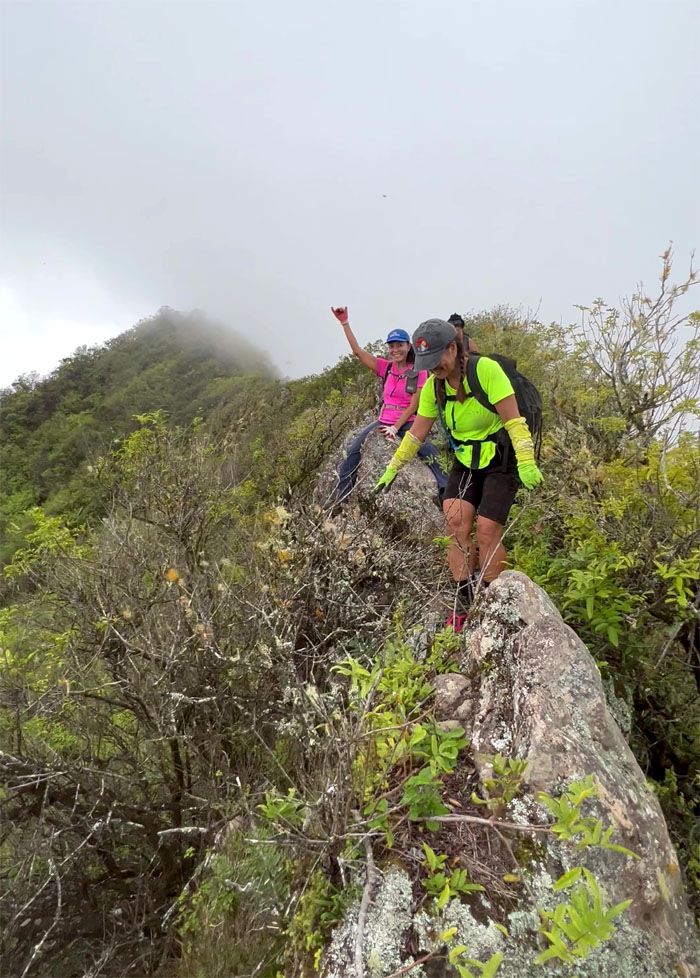
The group scooting, straddling, climbing and walking over the narrow rock dike.
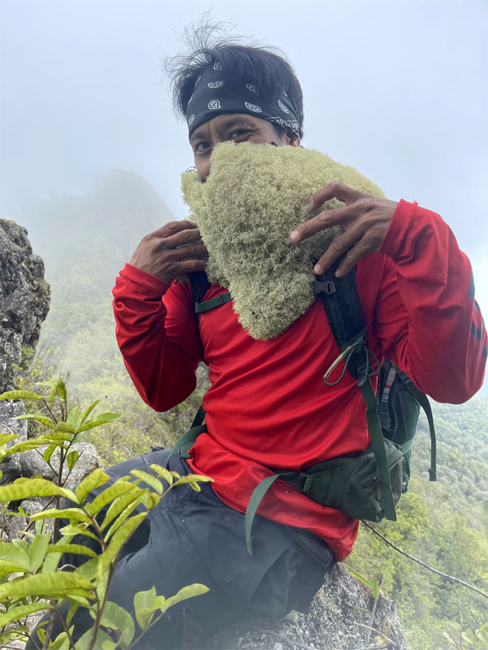
Sighting of the bearded moss hiker.
Looking for the trail in all the wrong places.
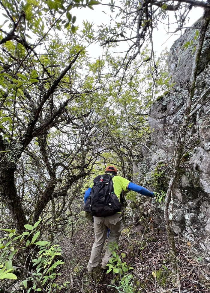
Dropping below the ridge line to contour around the boulders.
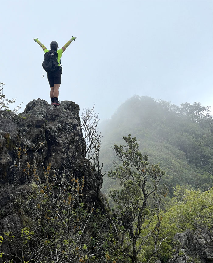
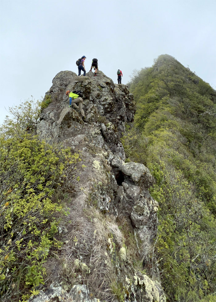
Trying to climb to impossible heights.
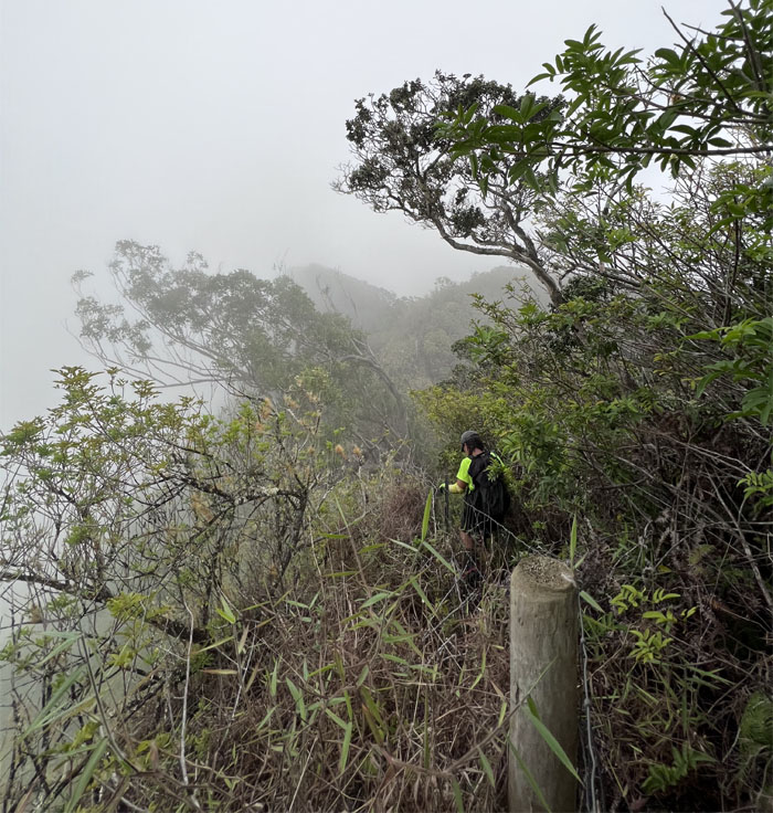
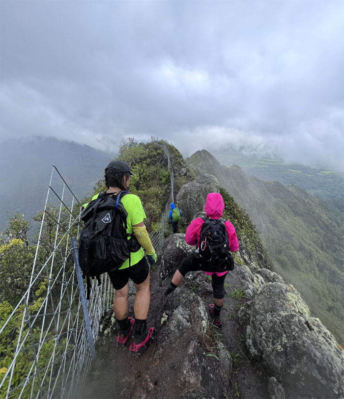
Following the fenced trail in white out conditions soon to be followed by Mother Nature’s sprinkler.
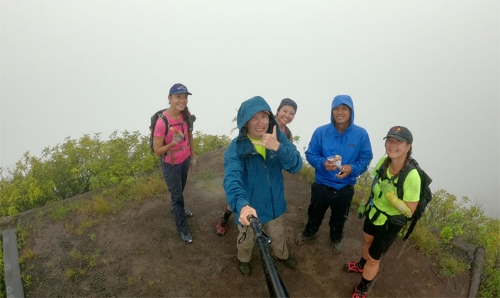
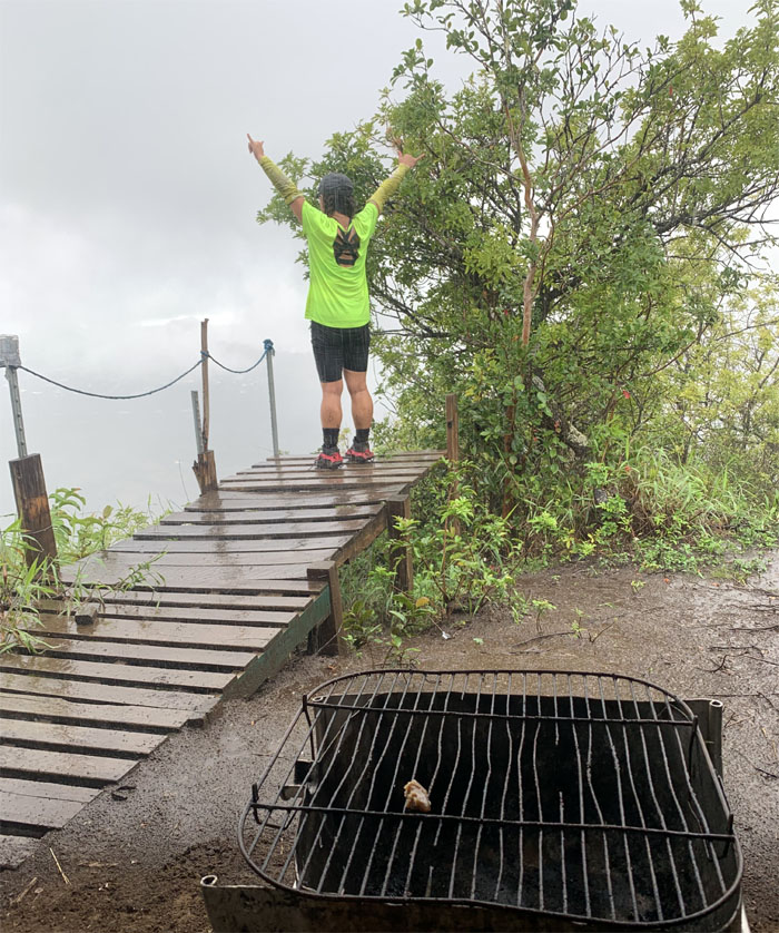
Okay let’s take our group photo and get out of this rain. Art, if you are reading this, this will always be the summit to me.
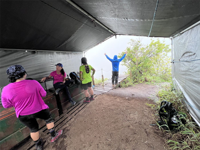
It was perfect timing as we hit the shelter just as the rain showers came down like cats and dogs.
We mulled over our exit options in the pouring rain, which were go down the loop trail which was longer but avoid the slippery rocks or go down the shorter but slippery way? Let’s throw some tupig on the barbie as we think about it.
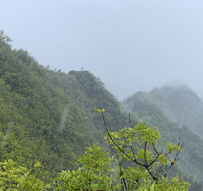
Looking back at the helipad as another hiker enjoyed the solitude and showers all to himself.
We left our shelter and decided to go down the direct way to save on time and the rain started to slack off.
Chris standing on the slippery rock.
Going down the loop trail by mistake, until a distant voice recalled us to the more direct route.
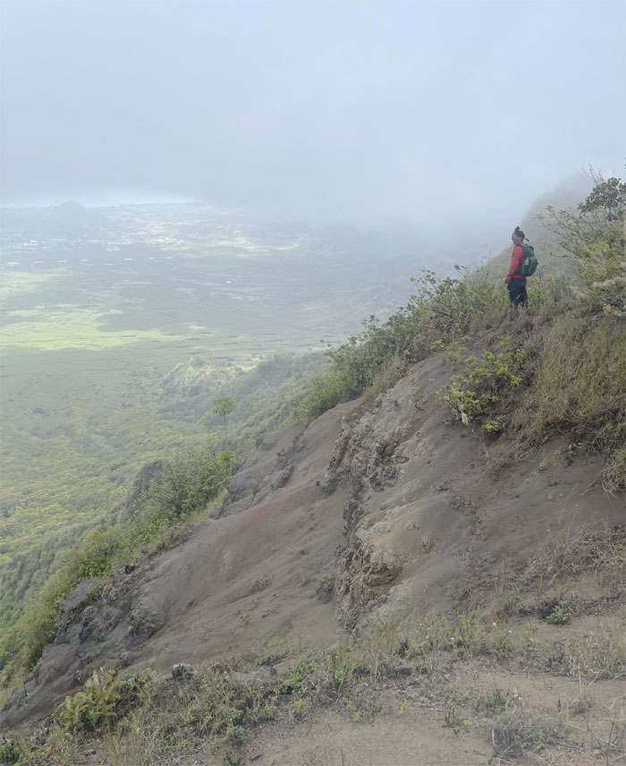
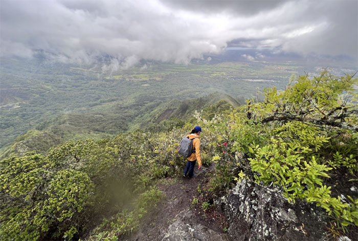
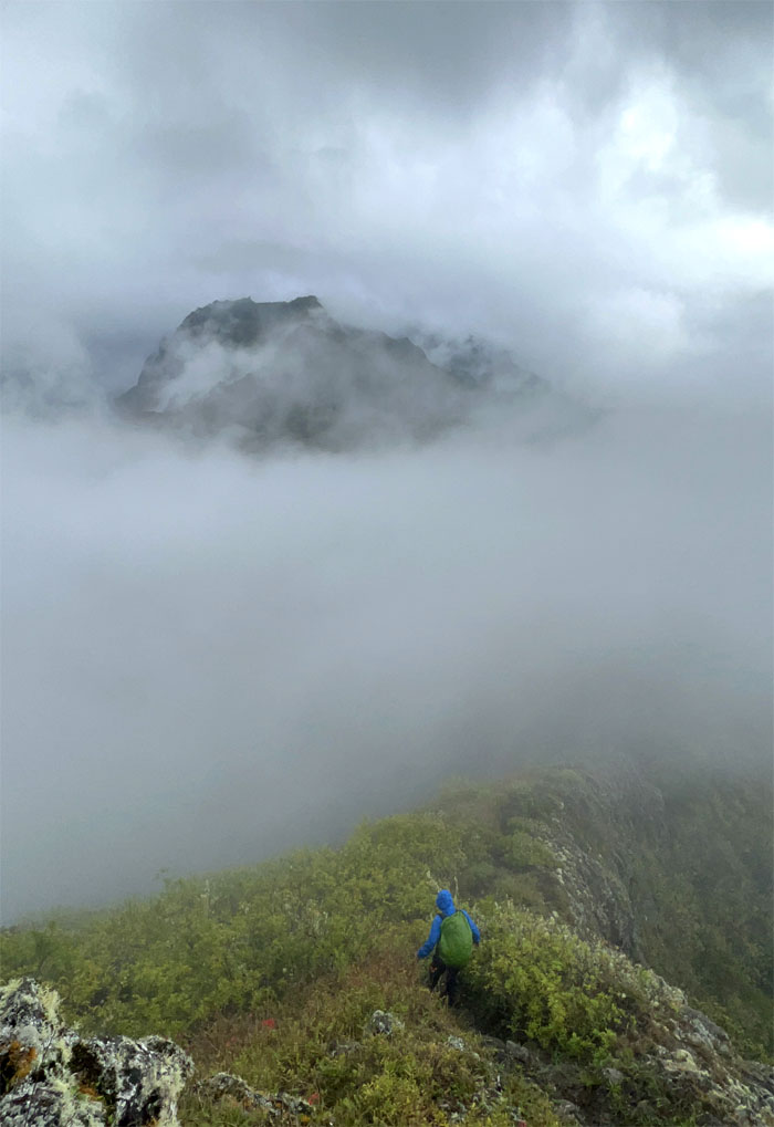
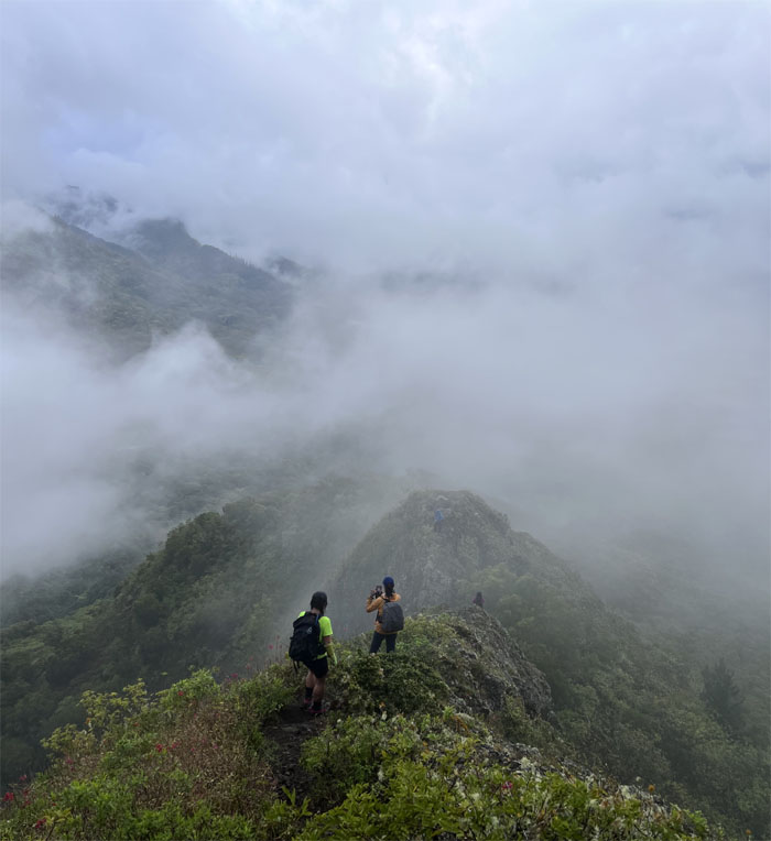
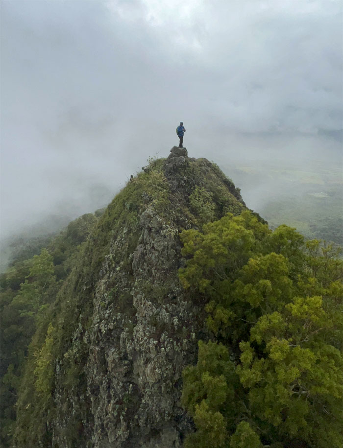
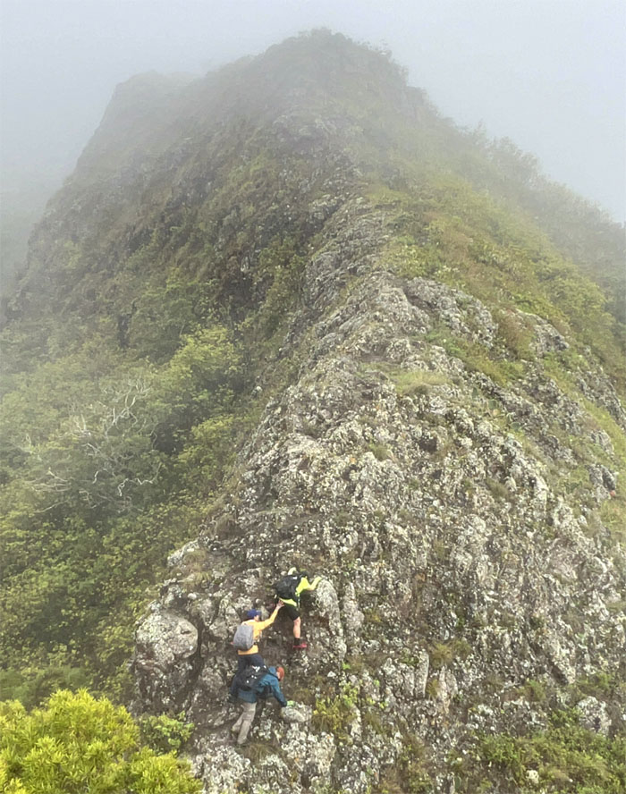
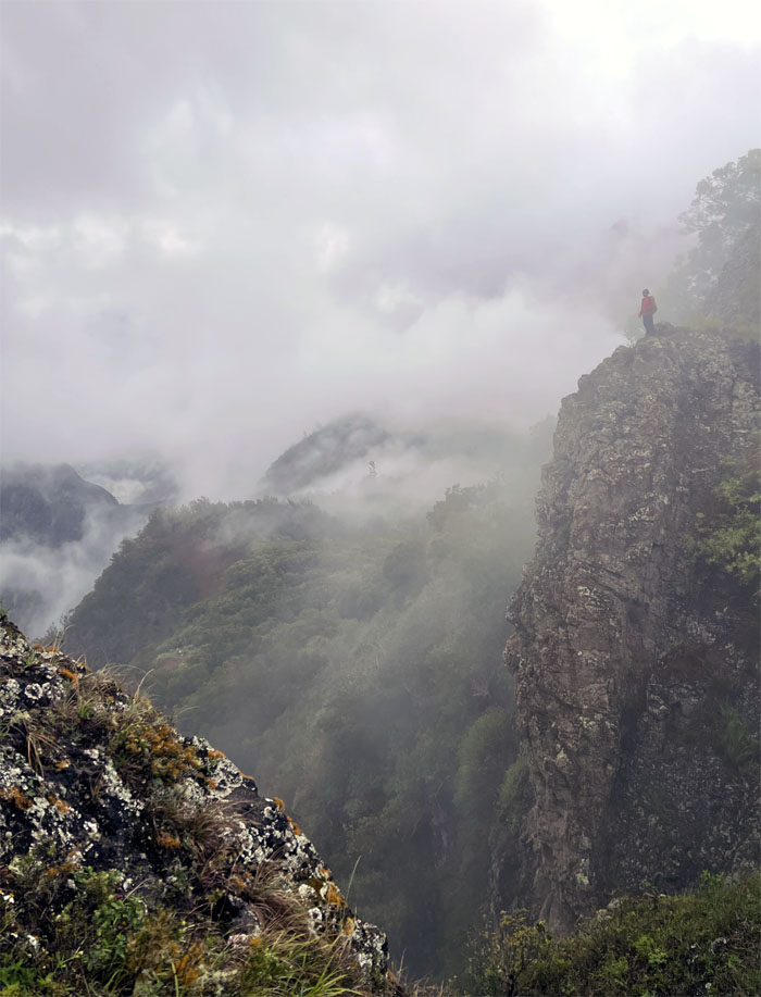
The swirling clouds painted a surreal picture of our descent down to the lowest point in the Waianae Mountain Range.
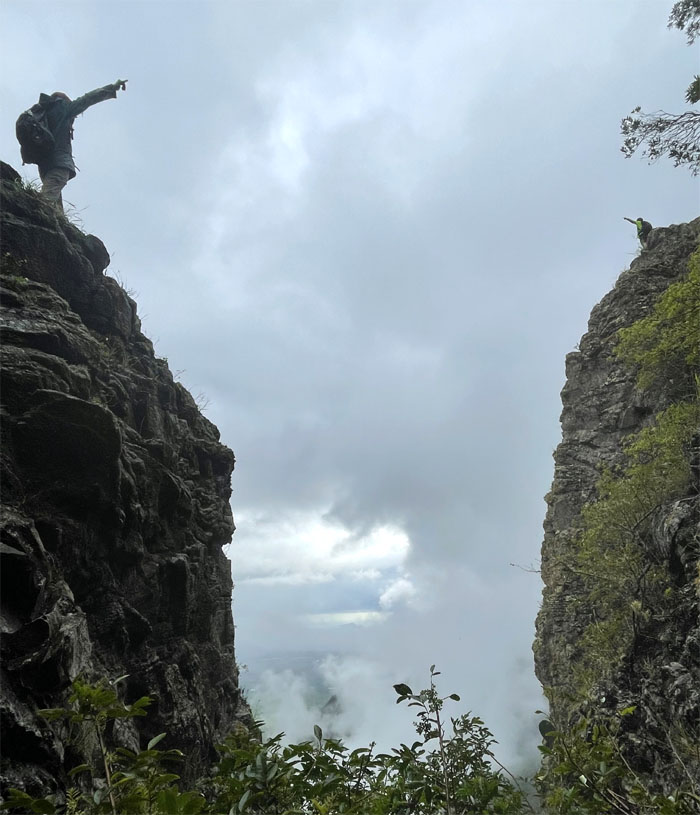
Approaching the first of two notches on the trail.
Chris standing on top of the second notch.
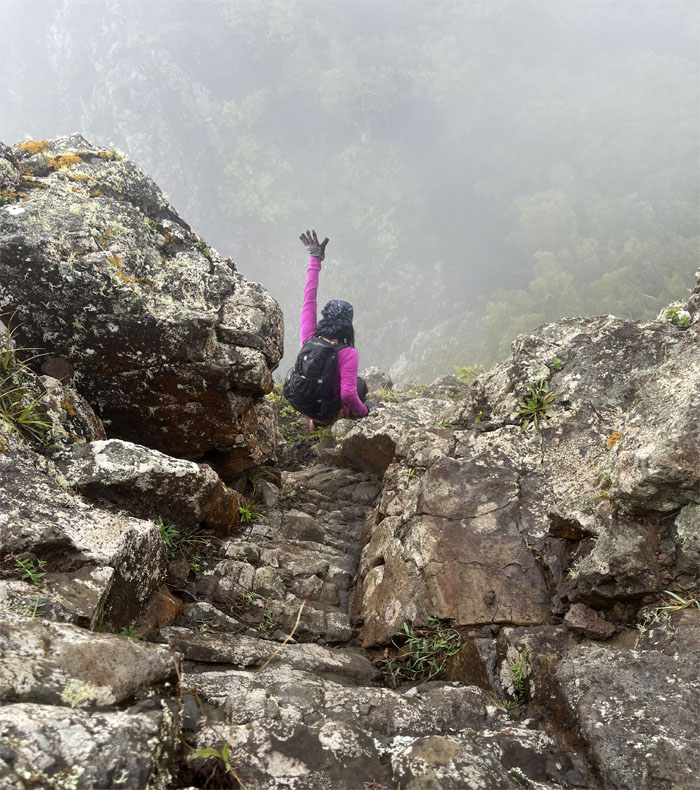
Tessa climbing her way down the wet and slippery rocks.
Fighting against gravity. Pushing against gravity.
Are we in Machu Picchu or are we in Hawai’i?
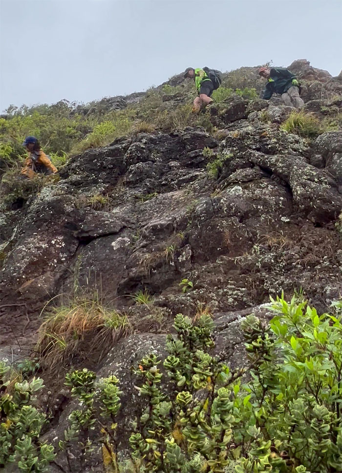
Hiking our way down the side of the cliff.
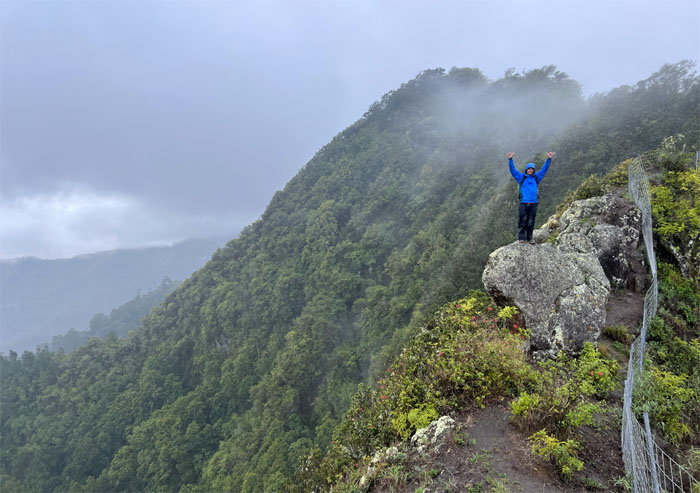
Chris on the first notch with clouds soaking the ground and saturating the skies.
Double shaka, near sighted and far sighted.
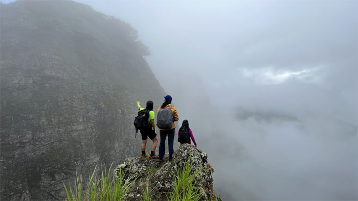
The girls peering into the cloudy abyss.
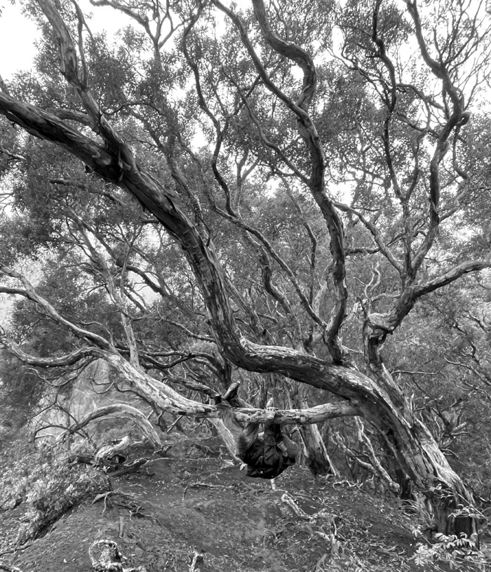
Hanging like a koala on the paperbark tree native to Australia.
Last group photo at the scenic overlook as the weather cleared. Never fails.
Quan wanted a bigger stick.
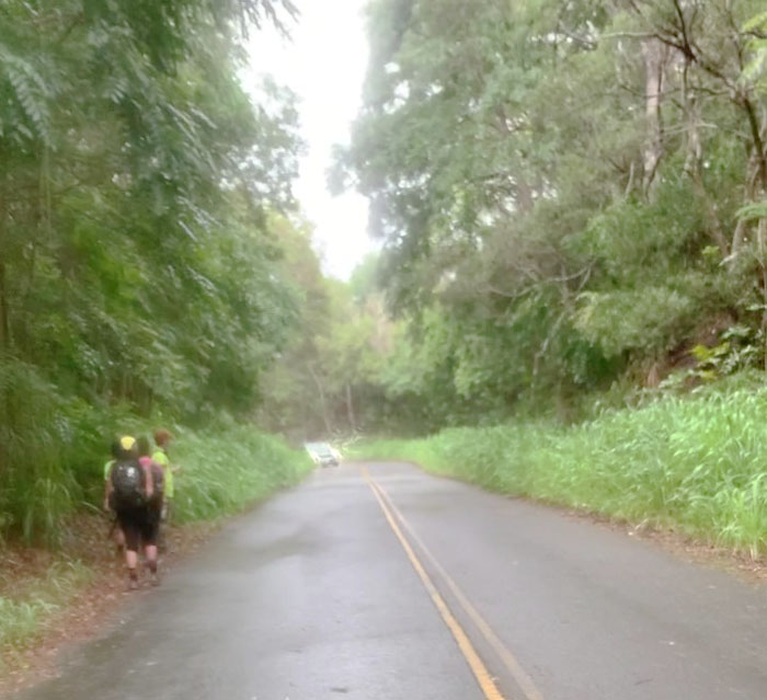
The porta potties and hand washing stations were gone from the trailhead, so we started to walk down the rainy road as we had nothing else to do. Thanks to Aida and Art for picking us up at Kolekole Pass and Popeye’s and shuttling us back to our cars in Kunia.
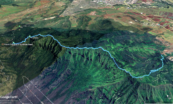
Our hike covered 5.23 miles through the rugged terrain of the Waianae Mountains. Fun hike with good friends. Post hike meal at Thelma’s, where apparently Coke means Pepsi. I guess it must be my accent.
Photos taken by Chris Bautista, Lilyn Avendano, Quan Haberstroh, Tessa Bugay and yours truly. Not necessarily in order.
Note: I have been made aware that some hikers have been using my blog as a hiking guide and getting lost on the trails. Please note that this blog was made to document the hike for the crew(s) that did it. That is why some of my comments will seem to have no relevance or meaning to anybody outside of the crew(s) that hiked that trail. My blog was never meant as a hiking guide, so please do not treat it as such. If you find inspiration and entertainment from these hikes, that is more than enough. If you plan on replicating these hikes, do so in the knowledge that you should do your own research accordingly as trail conditions, access, legalities and so forth are constantly in flux. What was current today is most likely yesterdays news. Please be prepared to accept any risks and responsibilities on your own as you should know your own limitations, experience and abilities before you even set foot on a trail, as even the “simplest” or “easiest” of trails can present potential pitfalls for even the most “experienced” hikers. One should also always let somebody know of your hiking plans in case something doesn’t go as planned, better safe than sorry.

{ 4 comments… read them below or add one }
Let’s see if this works lol. Love the photos by Kole Kole…they look so dramatic with the fog and tain! There were twinsies that day…you and Quan, Lilyn and Tessa lol. Also love the Arcteryc jacket…wasn’t too navy after all but tealish.
Aloha Aida,
Yup, surreal with all the clouds swirling around us as we made our descent.
Mahalo
Oh wow! I forgot how beautiful is this side of the island.too . love the sound of the rain under that canopy tent. The dog is so cuteee. I wanted to take it home lol
Aloha Tessa,
I think the dog is still running around, yours for the taking!
Mahalo