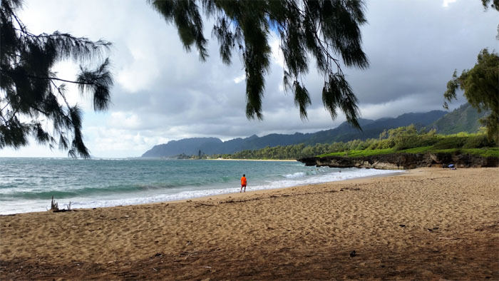
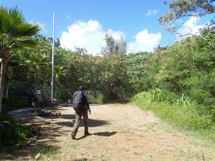
Weekday hike. Must be a holiday. Kamehameha Day. I found myself in the company of Rebecca at Laie Beach Park where we then walked to the trailhead.
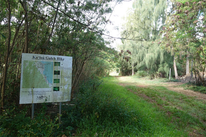
Permits in hand, we walked down the jeep road to begin our hike.
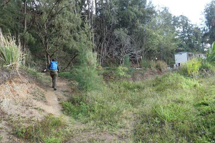
The trail soon took a left up into the hills as we passed a pumping shack.
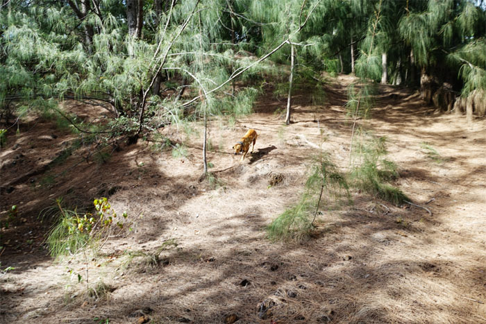
A hunting dog bolted from the scattered ironwood pine trees when he saw us on the trail. Where are the hunters?
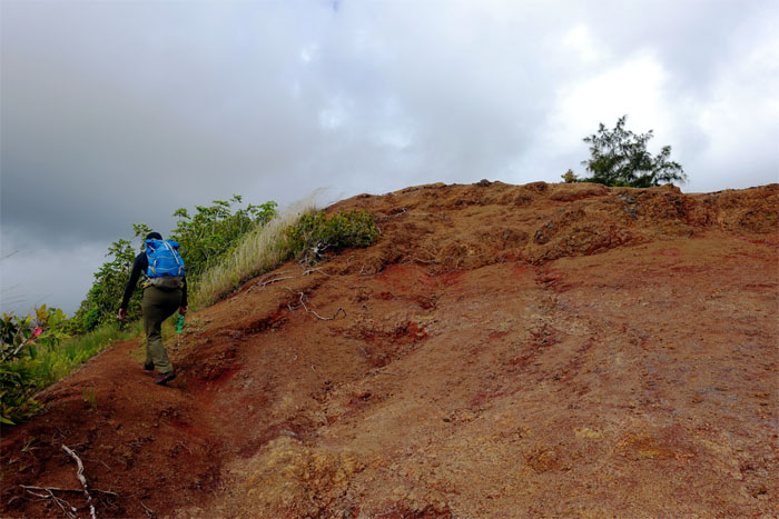
We followed the gently roller coasting ridge as we passed an eroded knob.
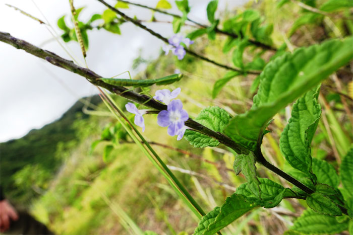
Spotted a baby preying mantis perched on a plant. After this we dropped down into the gulch.
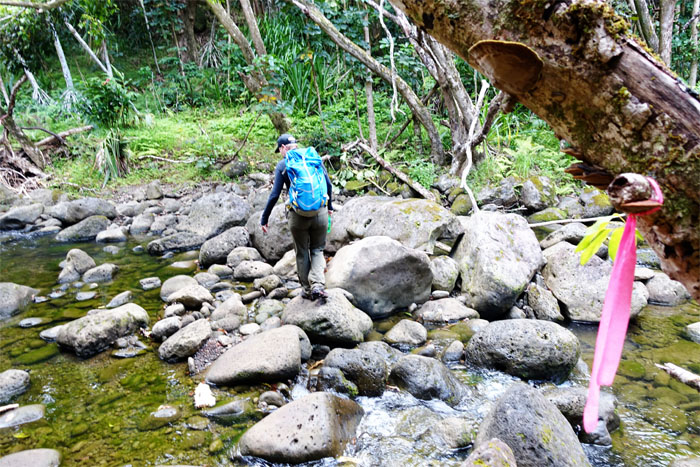
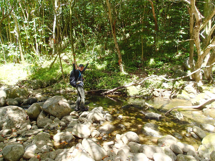
The beginning of over two dozen stream crossings. Who’s counting?
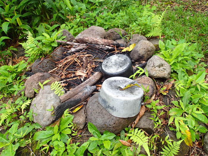
Rain showers sprinkled us in the gulch as we came across this camping site. No leftovers?
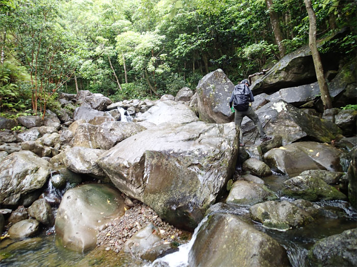
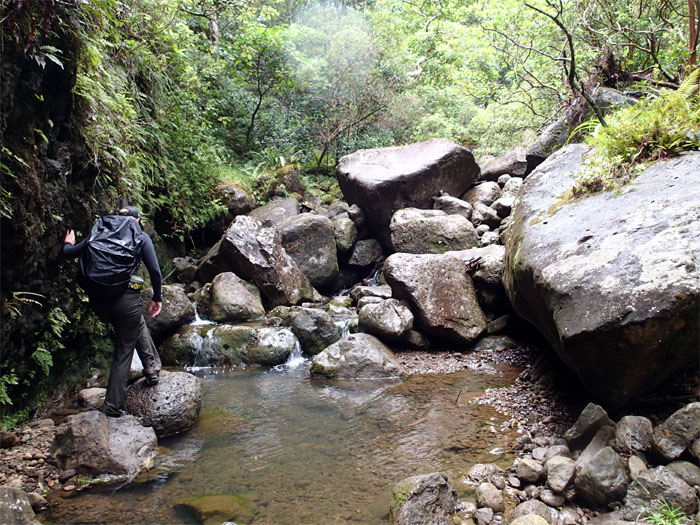
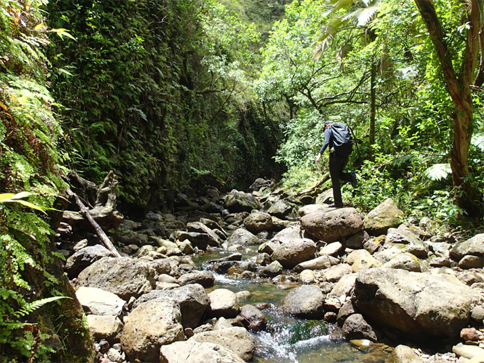
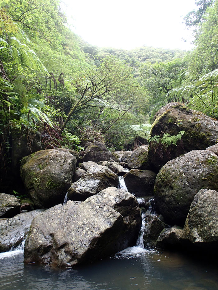
The boulders seemed to get larger as made our way upstream.
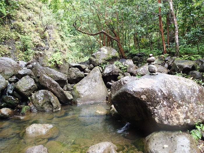
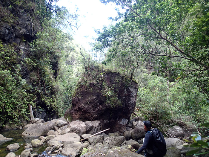
To topple or not to topple? Rocks arranged by man amongst rocks arranged by nature.
We walked in the stream bed for the most part after the stream crossings ended. A lot easier than weaving in and out of the stream banks.
The stream eventually split. Rebecca recommended we take the right fork first, as it would set us up for the bigger waterfall on the left fork.
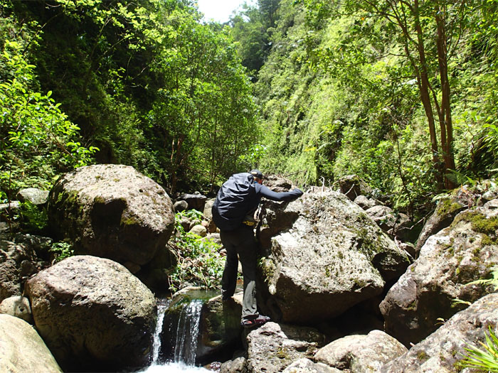
Spiked footing helped us to stay on the rocks and out of the water.
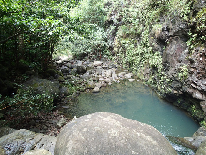
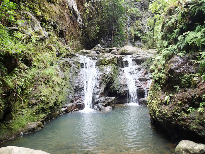
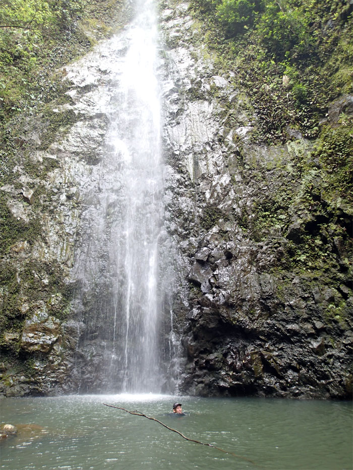
A four foot plus deep pool of ice cold water lay between us and the waterfall that was around the corner. Time to take the plunge.
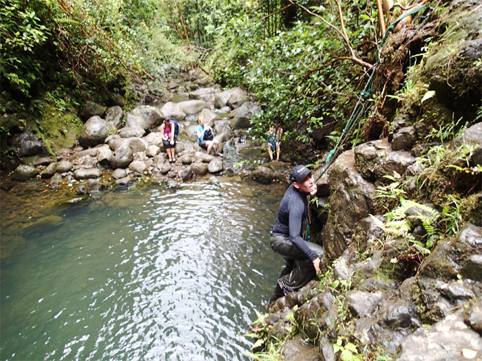
We caught up with three other hikers on the trail. Rebecca giving them an impromptu climbing lesson.
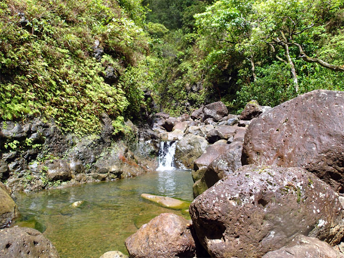
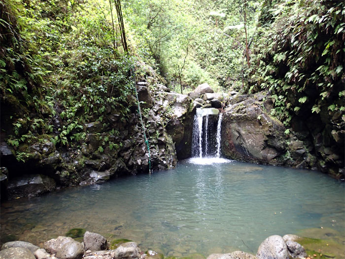
The ribbon of flowing water was shredded halfway by the jumbled rocks as it fed the pool at the base.
We passed the numerous pools with darting fishes and invasive crayfish, as we made our way back down to…
…the forked junction where we had a quick bite to eat.
The stream depth was low enough so that we stayed dry for the most part of the hike.
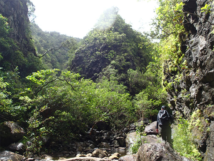
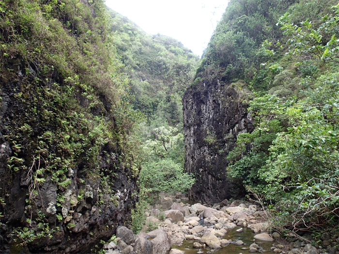
As we hiked deeper towards the Koolau Mountain Range, the gulch walls became claustrophobically closer.
Running and standing water usually means swarms of mosquitoes. Today was no exception.
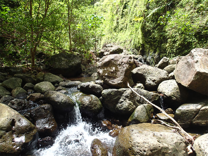
Assorted waterfalls of all shapes and sizes were found on the stream.
There were some good sized boulders scattered throughout the gulch.
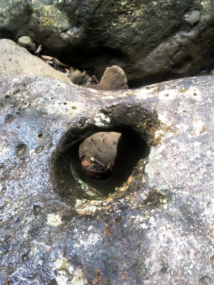
Three spiders in a hole waiting for something to eat. Photo by Rebecca Riggins.
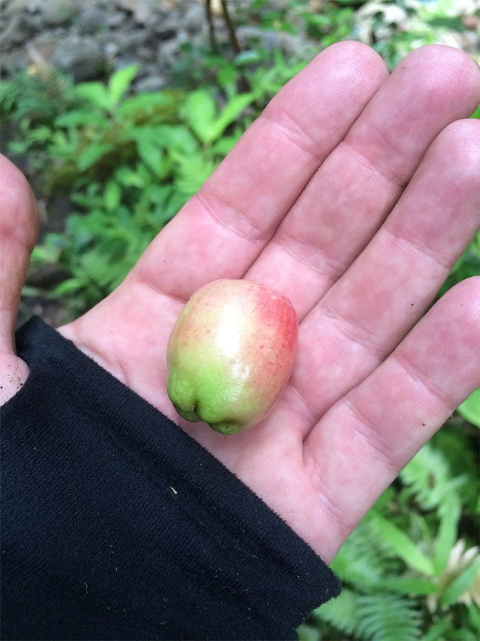
Got kalo?
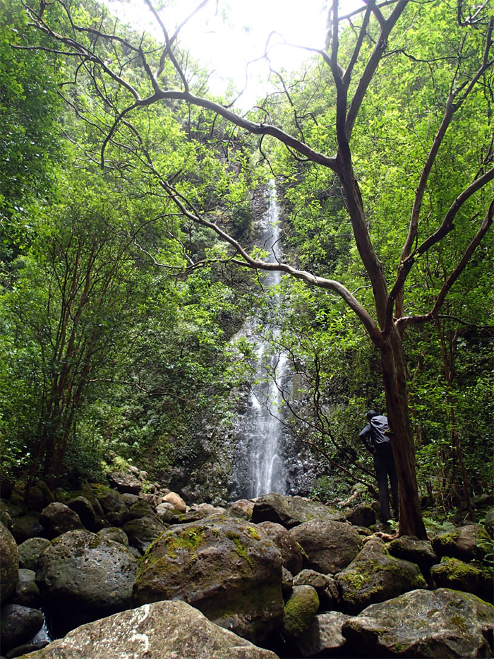
Vertical panoramic photo of the waterfalls. Photo by Rebecca Riggins.
Who needs the beach?
Talks of climbing quickly evaporated as we made our way back down.
Throw it back. Not big enough.
Rebecca crossing the last stream and hiking back up.
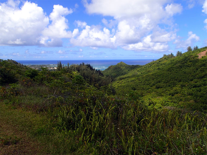
The historical town of refuge filled the horizon as we crested back up the ridge.
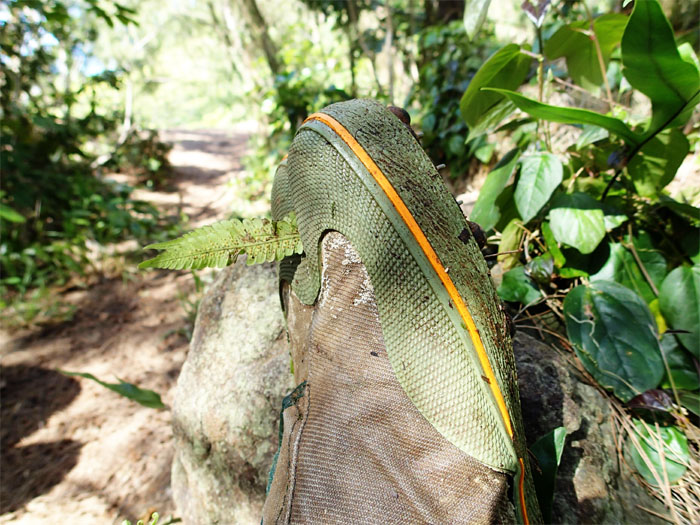
A hitchhiker had latched itself onto my tabi.
We passed the memorial dedicated to the 11 year old boy scout that tragically died in a flash flooding back in 1994 on our way out. A sober reminder when hiking gulches and waterfalls.
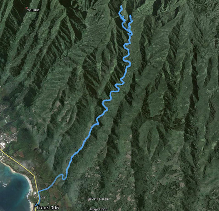
The ridge and gulch hike was filled with rock filled stream crossings and multiple waterfalls that covered 12 miles. Post hike meal at Seven Brothers. Shem Burger. Anything with bacon has to taste good.



{ 5 comments… read them below or add one }
Did you try and summit from the gulch ? Trying in a coupe weeks
Aloha Joe,
No I haven’t, although that’s on my list. Can I tag along? Haha. I know some have rapelled down from the summit.
Mahalo
Is that 12 miles one way or 12 miles there and back?
Oh I looked it up and it’s round trip. So the other question is: I know the first part of the hike is a steep climb, but how about after that? How much trekking uphill is there? Or is the hike mostly difficult due to the terrain?
mostly rock hopping as you are basically following the stream towards the base. spiked traction strongly advised.