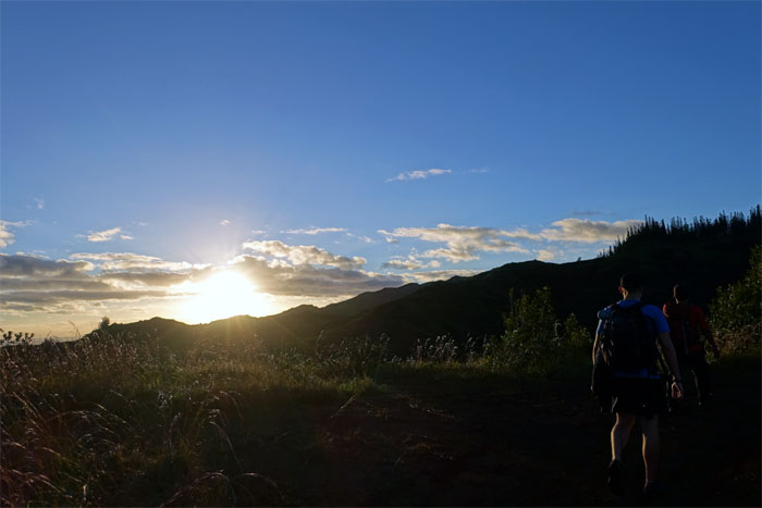
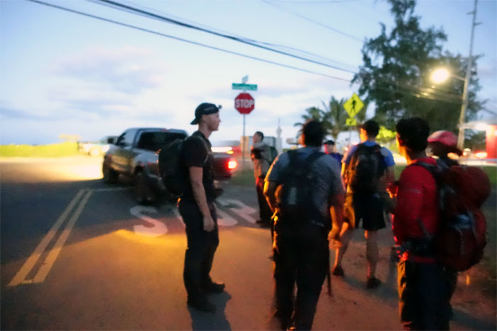
Met up with Chris, Derek, Ethan, Glenn, Huckett, Kristina, Stuart and Tina to take a walk where the country is still country. The rugged Northern Ko’olaus.
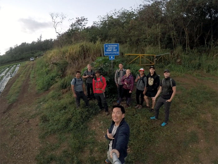
Have permits, will hike.
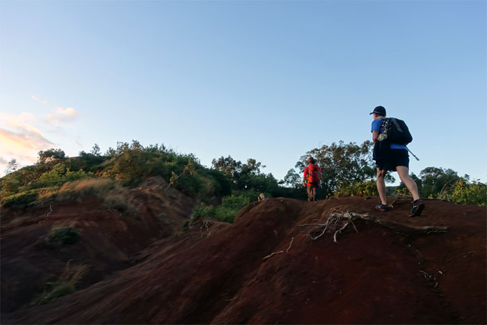
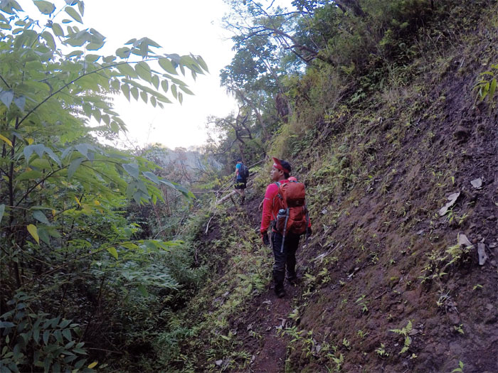
The group making their way over the eroded trail section. A dirt biker’s paradise.
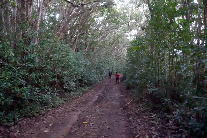
The sun washing over the group coming up the dirt road. Photo by Derek Potter.
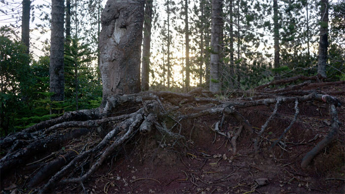
Root level with the grove of Norfolk Pine Trees. The technical start of the trail. Photo by Stuart Krempin.
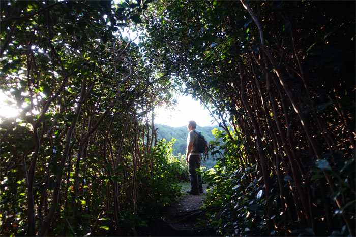
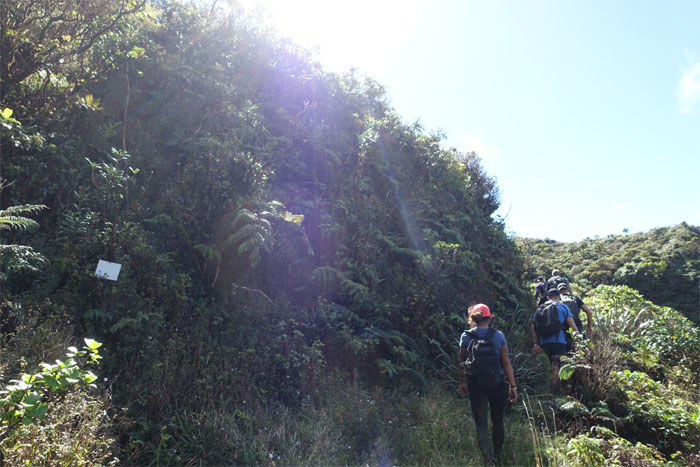
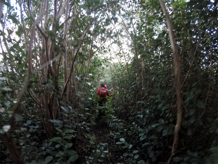
Glenn popping out of the corridor of strawberry guava trees and into the sunlight.
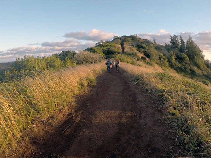
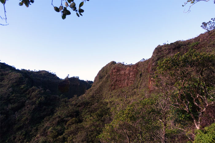
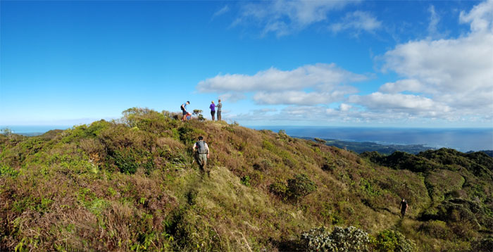
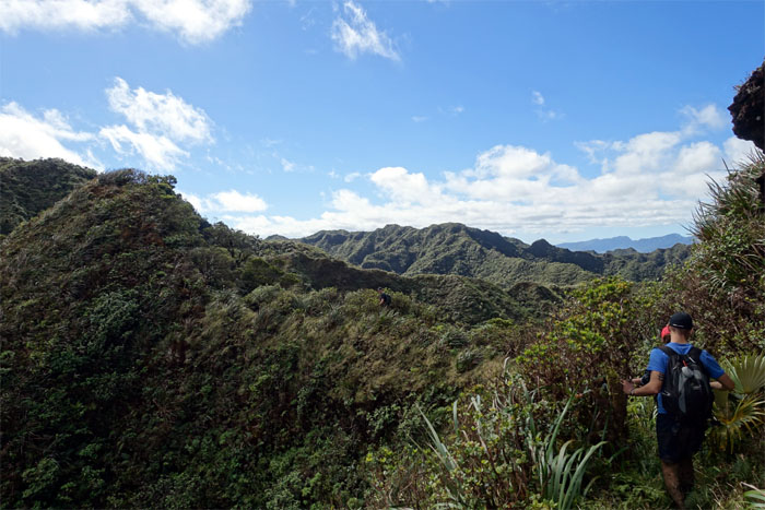
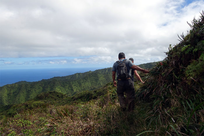
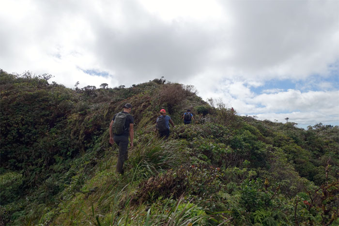
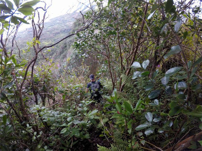
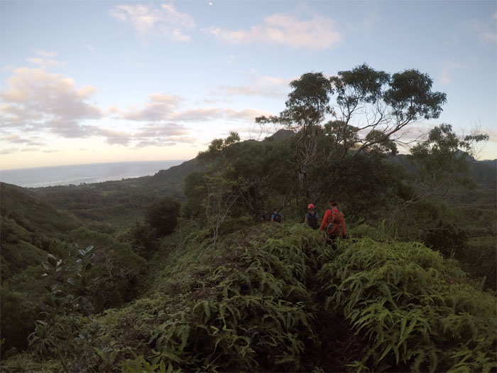
We followed the graded ridge trail as the invasive forest slowly switched to mostly endemic forest.
Crossing the Ko’olau Summit Trail to get to the top. Photo by Stuart Krempin.
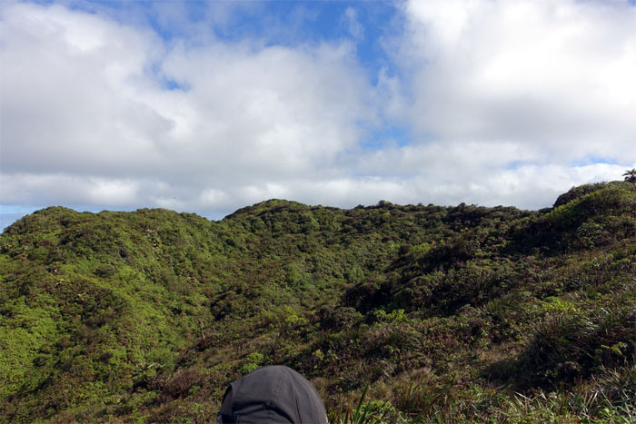
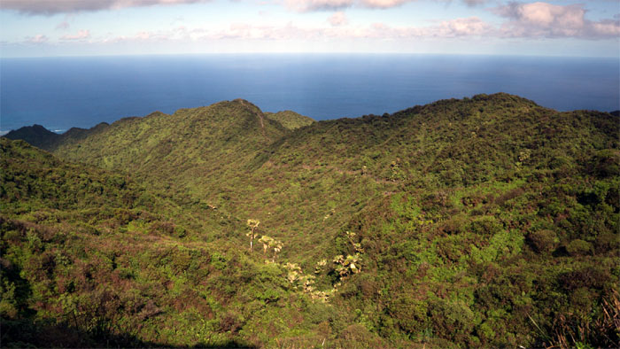
Summit view at 2,240′ overlooking the town of Laie. Photo by Ethan Clavecillas.
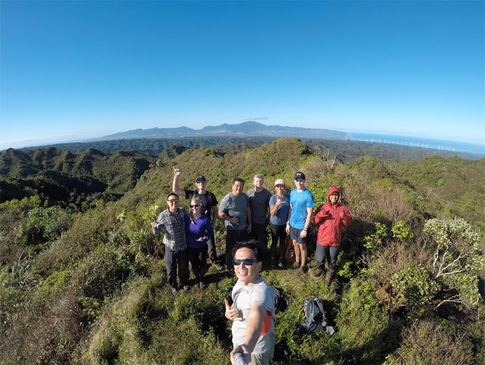
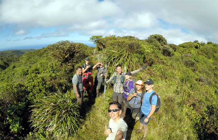
Group photo at the foxhole, left to right: Ethan, Kristina, Stuart, Glenn, myself, Derek, Tina, Huckett and Chris.
The summit air was chilly, so it was time to walk it off.
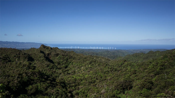
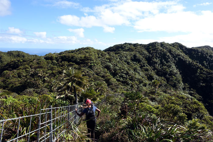
A study in contrasts. Native loulu palm trees dotted the mountains, while invasive wind turbines populated the hills of Kahuku. Photo by Stuart Krempin.
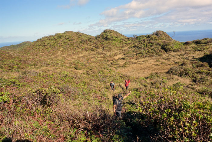
Crossing the bowl shaped depression to eventually meet up …
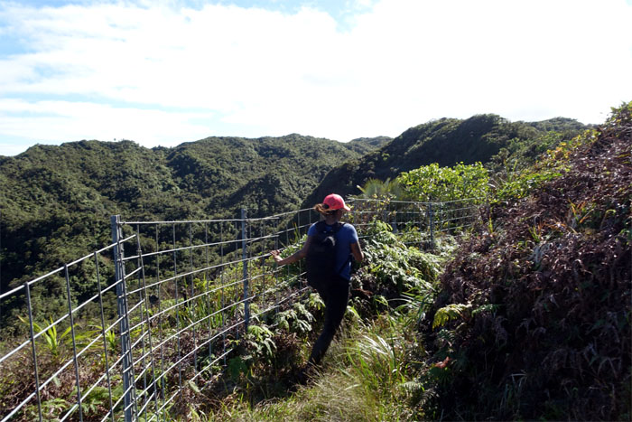
… with the familiar fence.
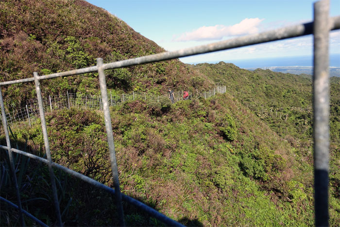
Looking back.
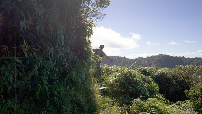
Coming around the bend. Photo by Stuart Krempin.
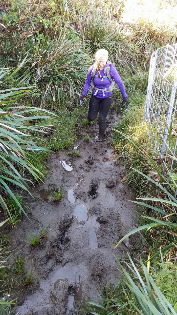
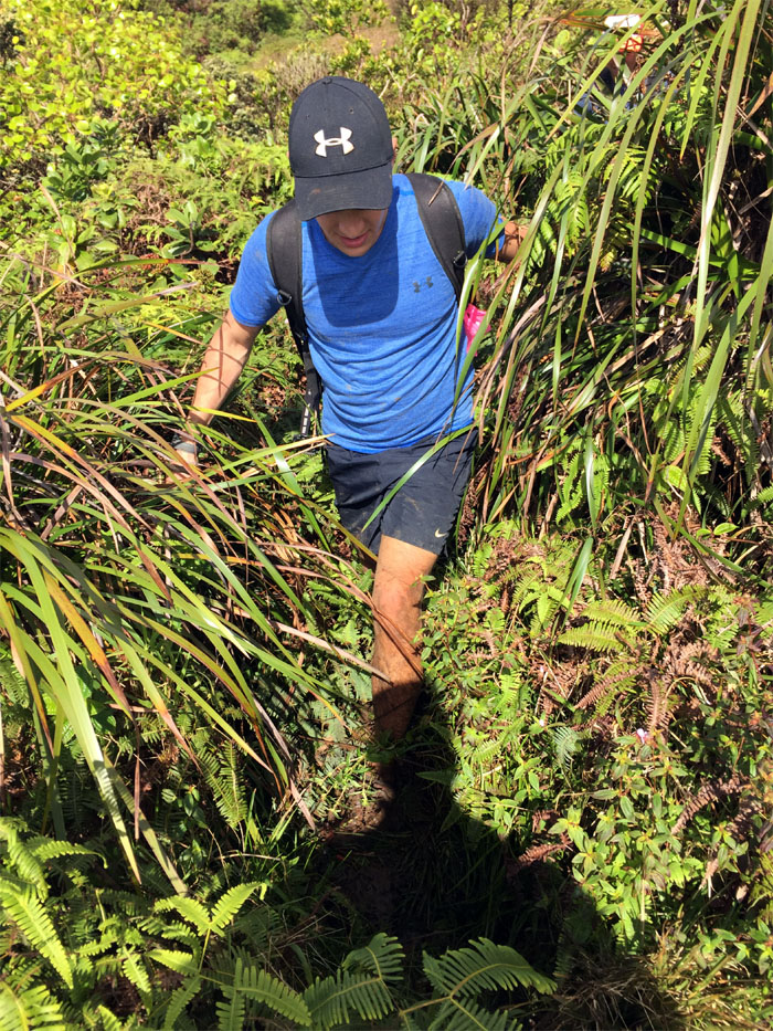
Mud up to your ankles was promised. And delivered. And then some. Photo by Ethan Clavecillas.
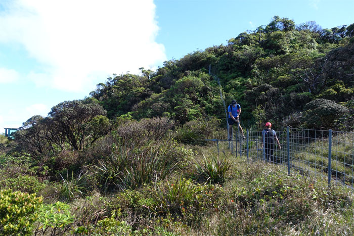
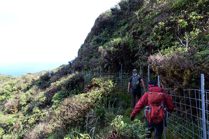
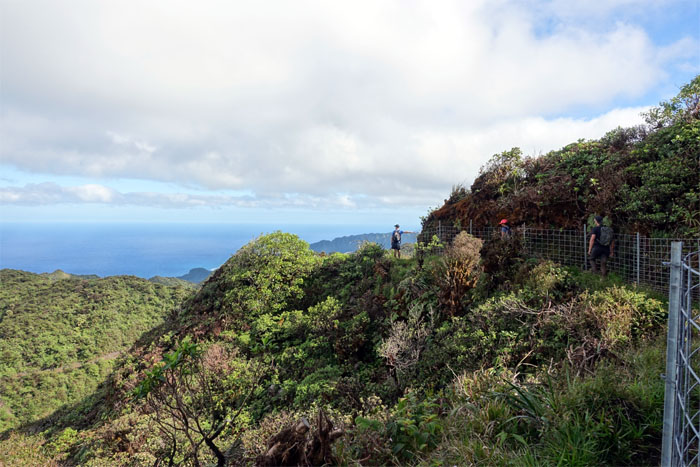
Open country. Fenced country.
Why did the hikers cross the fence? To get to the cabin.
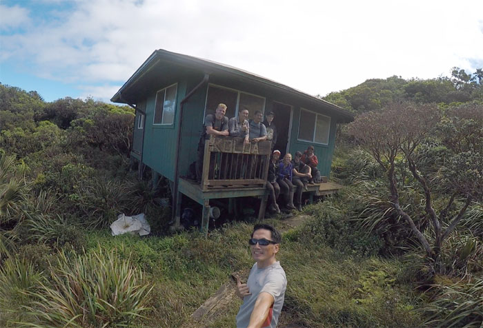
Cabin life. Boarded. Dental hygiene is the key to a happy mouth.
Group photo at the cabin. Taking a photographic memory as the cabin log is gone, so we couldn’t leave any written memories behind.
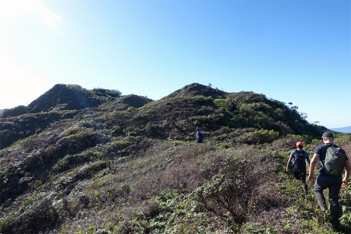
Picking up the trail from where we left off.
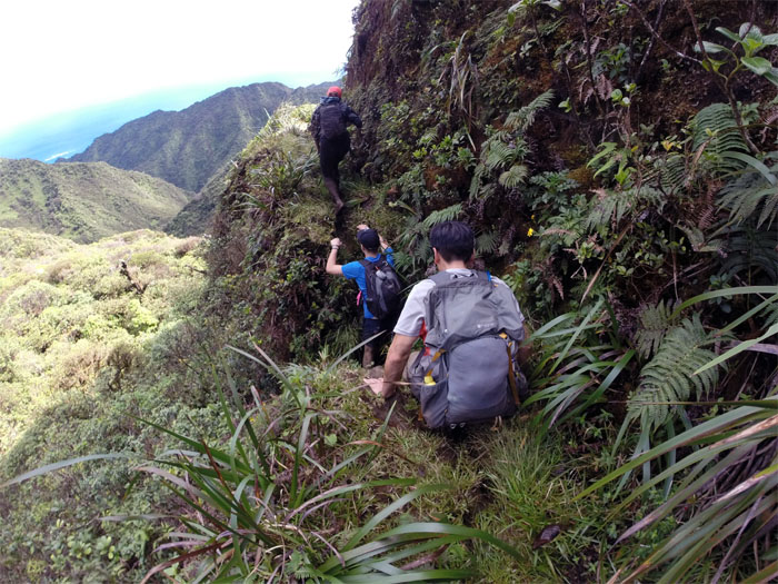
Climbing into and out of a small notch. Photo by Chris Bautista.
Passing the rope that lead to somewhere. We were not going somewhere.
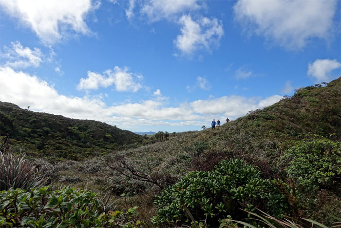
The group crossing through a small meadow.
The trail meandered to the Windward side …
… and back to the Leeward side.
Almost to the home stretch. But first, another stretch of mud. Photo by Chris Bautista.
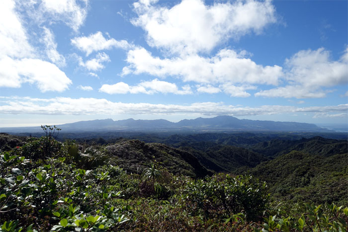
End to end views of the rugged Waianae Mountain Range.
Almost there. See the fence?
Group photo at the rubber slippah junction. Rumor has it that a certain king lost a pair in this same area.
Only two hours to the valley floor. Right Chris?
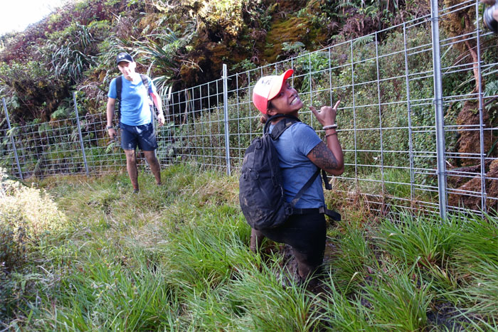
Just when Tina thought she left the mud all behind her. Think again. Knee deep mud.
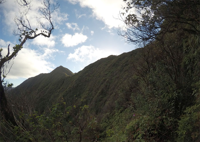
Looking down the ridge. Photo by Stuart Krempin.
The unabated fencing of the mountains continues.
Just follow your ears.
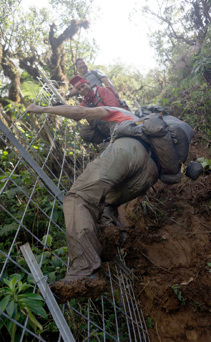
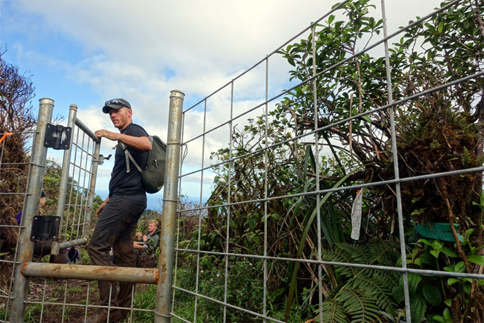
When the fence becomes a ladder. Photo by Stuart Krempin.
Hold that gate.
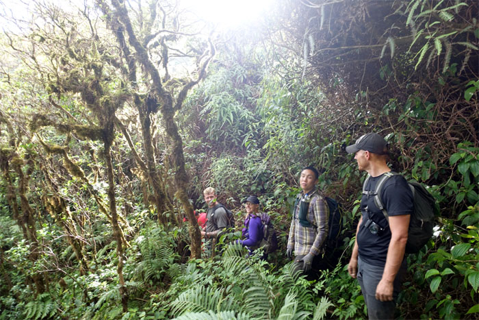
Passing clumps of mossy covered trees as we made our way down the trail.
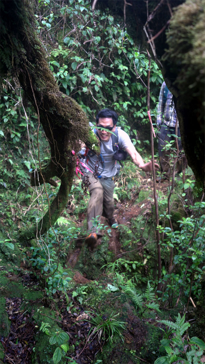
Leap of faith. Photo by Stuart Krempin.
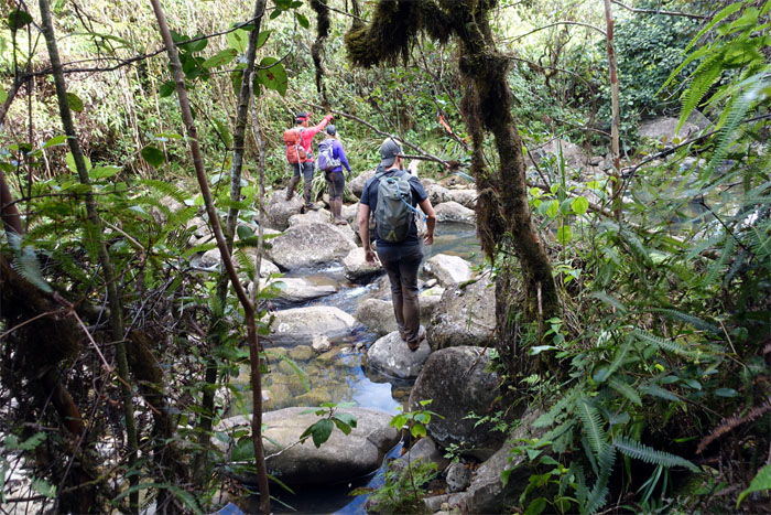
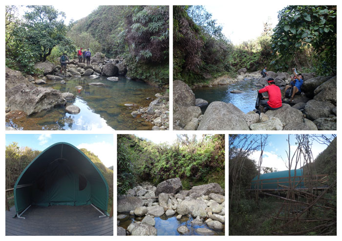
The trail soon dumped us into the cold and clear waters of Kaluanui Stream.
Stream life. Washing. Drinking. Tenting. Eating.
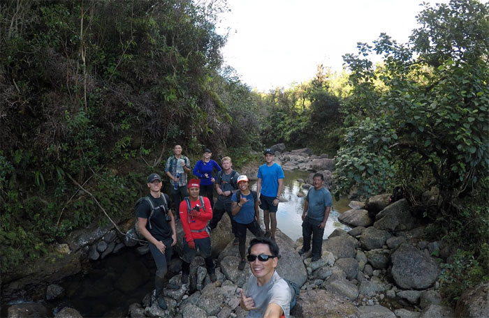
Group photo at the stream that feeds Sacred Falls.
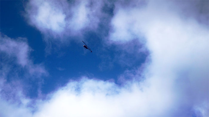
Tour helicopters buzzing overhead us. Nothing to see here. Fly along folks. Photo by Stuart Krempin.
Huckett passing through the notch. What notch?
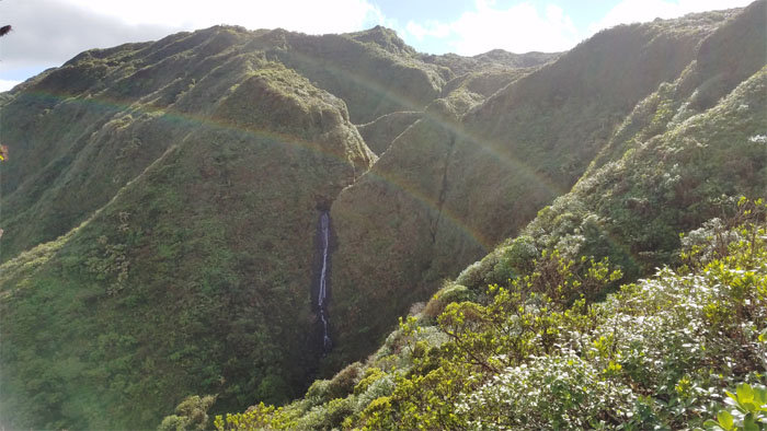
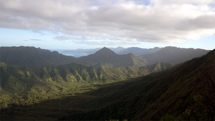
We all had to pause and soak in the stunning valley views. Photo by Stuart Krempin.
Looking back. See the notch?
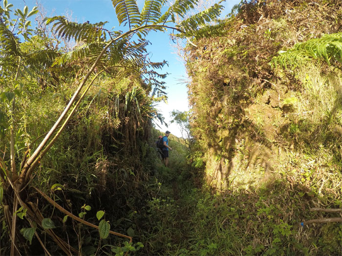
Making our way down the spur ridge that cut out most of the middle man switchbacks.
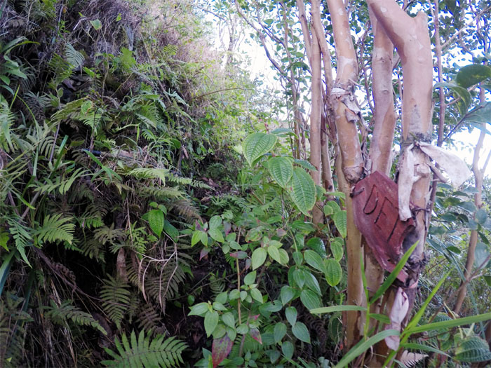
So, that’s what they call it. Photo by Stuart Krempin.
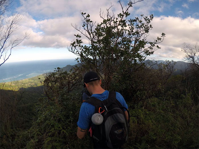
Stuart making his down the mostly cleared trail.
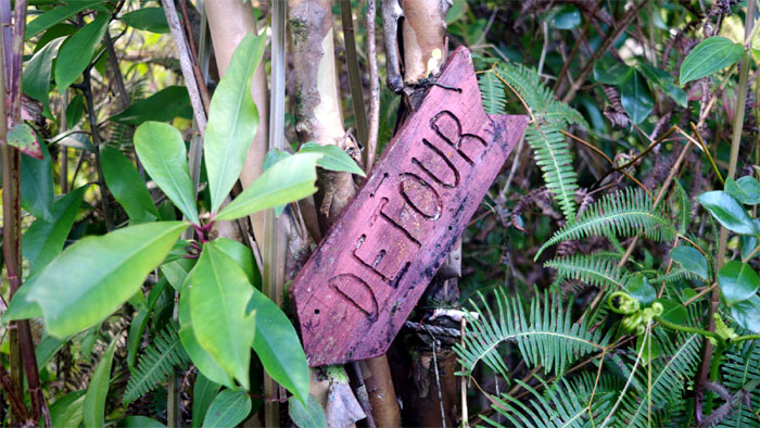
The detour stops here.
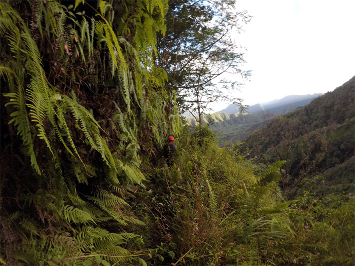
Tina walking along the fern draped cliff.
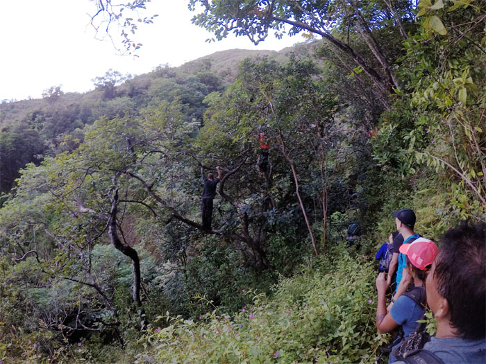
Avocado pickers, Chris and Derek, climbed and harvested a mountain souvenir for each of us. It was delish.
Passing over a landslide area.
Walking through a corridor of strawberry guava trees.
What hike wouldn’t be complete without wading through a patch of uluhe ferns? Exactly.
The long road out of the valley that was made short …
… by a pick up truck. Photo by Stuart Krempin.
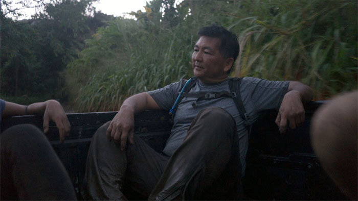
Thanks to the friendly farmer that gave us a lift out of the valley.
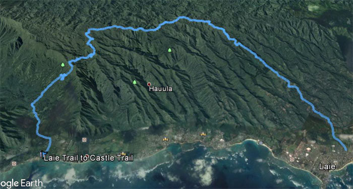
Our country hike covered 17.64 miles over some of the most rugged and beautiful terrain to be found in the mountains. Great grinder with a great group. Post hike meal at North Shore Tacos. Beats the run to the border any day.
Note: I have been made aware the some hikers have been using my blog as a hiking guide and getting lost on the trails. Please note that this blog was made to document the hike for the crew(s) that did it. That is why some of my comments will seem to have no relevance or meaning to anybody outside of the crew(s) that hiked that trail. My blog was never meant as a hiking guide, so please do not treat it as such. If you find inspiration and entertainment from these hikes, that is more than enough. If you plan on replicating these hikes, do so in the knowledge that you should do your own research accordingly as trail conditions, access, legalities and so forth are constantly in flux. What was current today is most likely yesterdays news. Please be prepared to accept any risks and responsibilities on your own as you should know your own limitations, experience and abilities before you even set foot on a trail, as even the “simplest” or “easiest” of trails can present potential pitfalls for even the most “experienced” hikers.


{ 5 comments… read them below or add one }
Awesome hike man, but what an ass kicker, thanks for the post was fun to read at work
Aloha Stuart,
Thanks. I’m glad I was able to furnish you with some reading material to pass the time at work.
Mahalo
Aloha Stuart, just wanted to say how amazing it is that you were able to go up there! I live in Punaluu valley, and I’ve always dreamed about going up there, since my great grandma always went up there as a child. It was fun reading this at school ????. Quick question: did your group happen to stumble upon a band of night marchers? Punaluu is infamous for night marcher visits here and there!
Aloha Kaniela,
This is Kenji, not Stuart. But close enough. LOL. Yes I’ve heard about the night marchers, but thankfully never did cross paths with them. No desire to do so either!
Mahalo
AHH I am so sorry-???? Me too, though several of my family members have encountered “something similar.” I know I’m a few years off, but thanks for responding anyways! Have a great day!