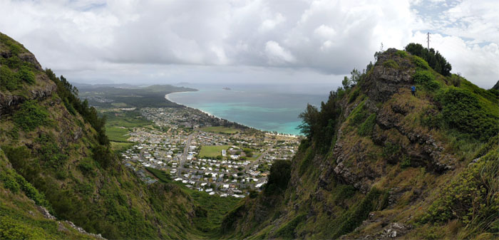
I decided to give the KST thru hike another try; if I knew what the outcome was going to be, I would have stayed home in bed. Joining me were Chris and Matt; Anne and Clayton came along just for the first day.
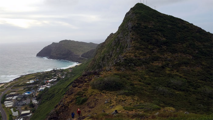
Thanks to Daryl for dropping us off at the Makapu’u Lookout. Photo by Daryl Cacatian.
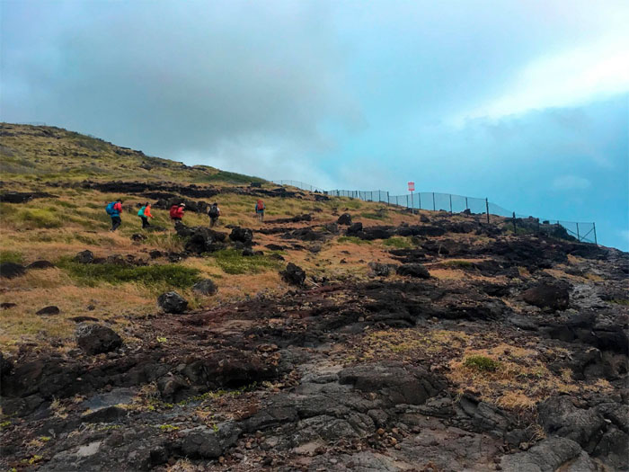
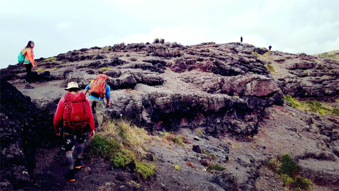
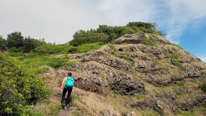
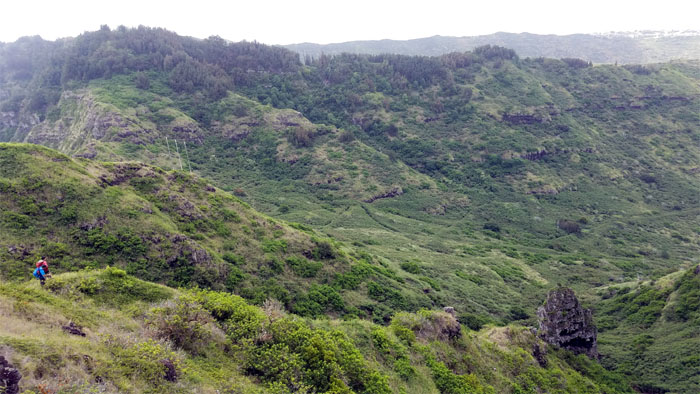
Making our way up the dry grassy rocky landscape. Photo by Daryl Cacatian.
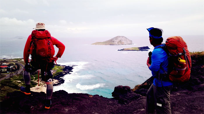
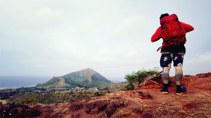
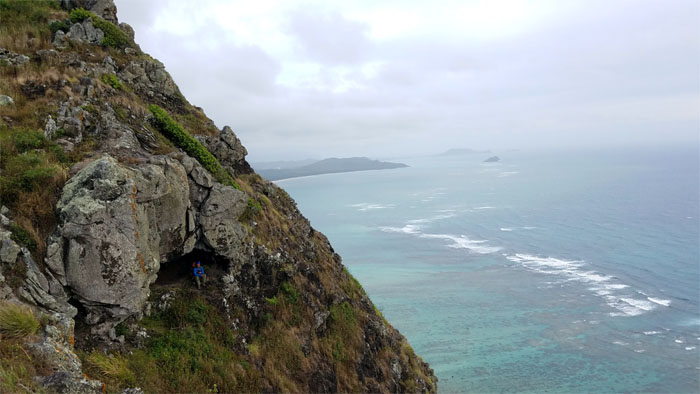
Looking out towards the seabird sanctuary.
We soon caught up with another pair of hikers who let us pass them.
Staring straight into the fringed female parts.
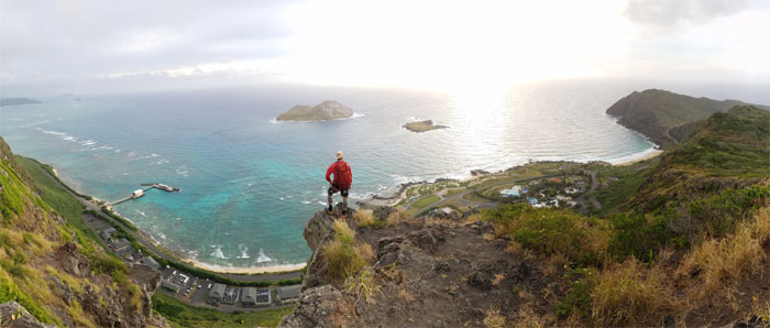
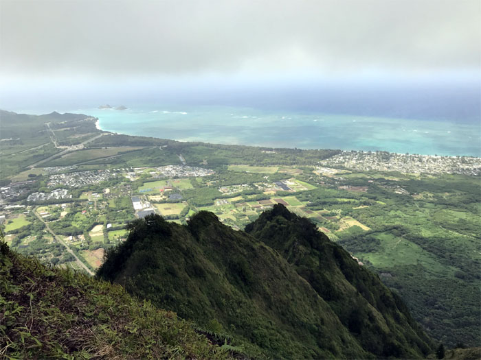
The sun shimmering across the blue-green water. It almost made up for missing the sunrise.
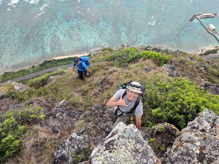
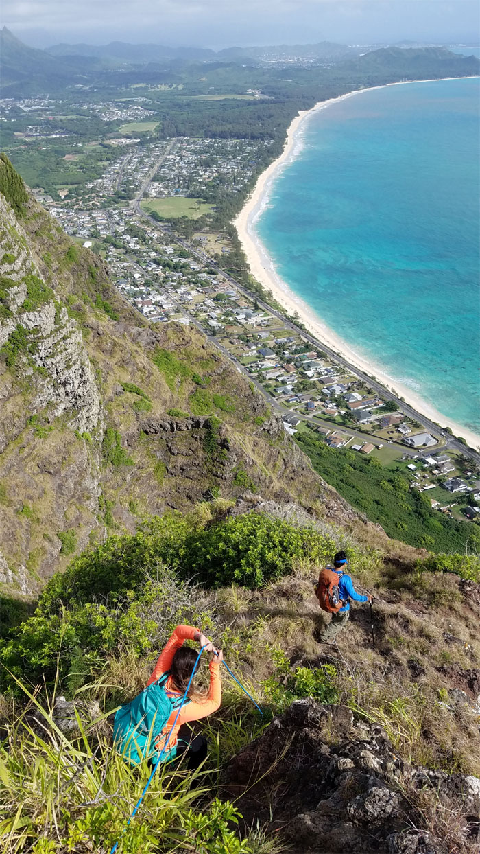
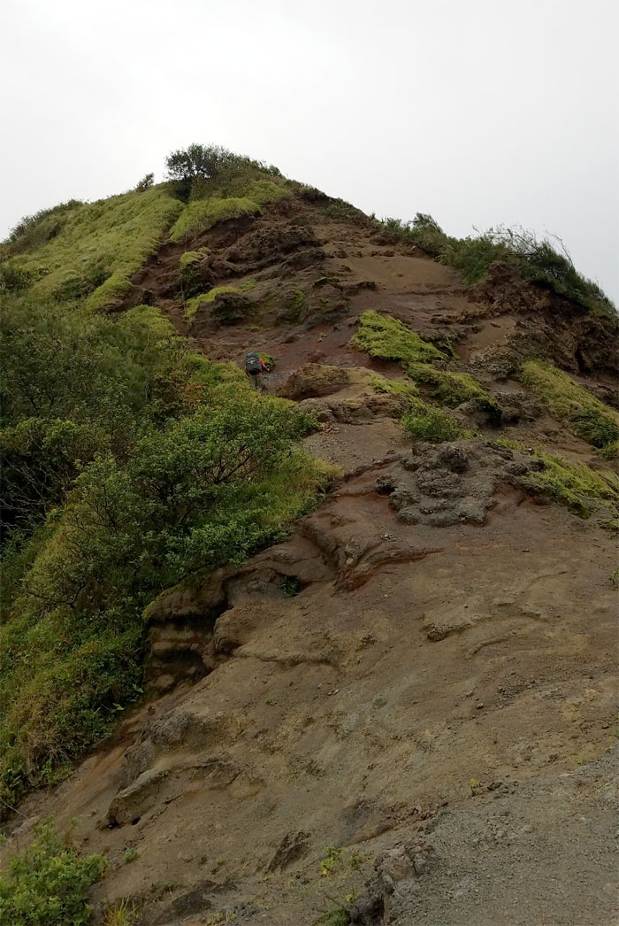
Small kine climbing time. Photo by Chris Bautista.
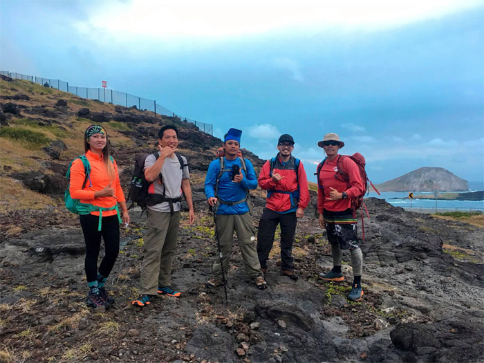
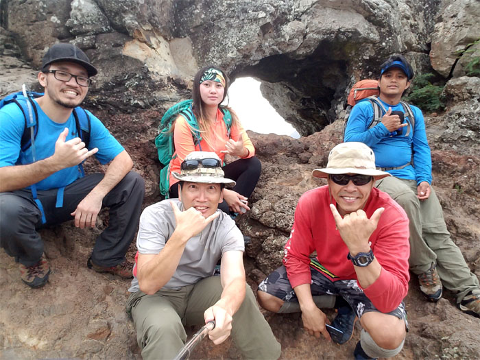
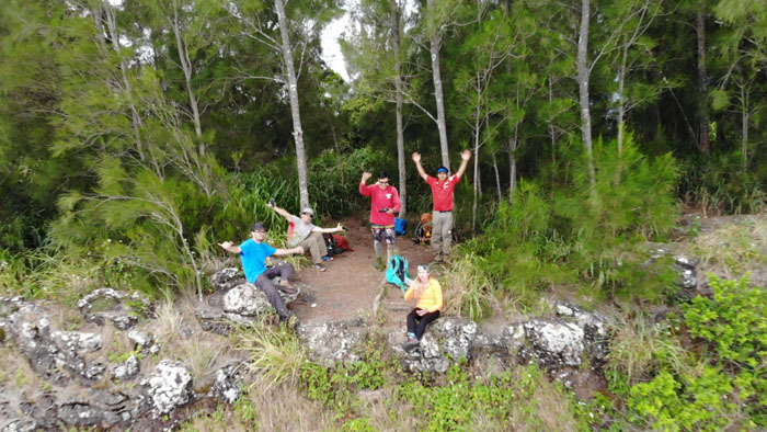
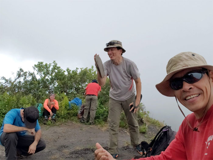
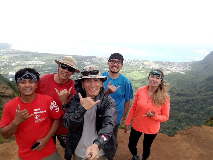
Group photo left to right: Clayton, myself, Anne, Matt and Chris.
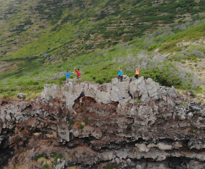
Hello from the other side. Drone photo by Matt Vidaurri.
Time to pack away the drone and continue hiking on the rocky ridge line.
Chris chilling in the cave.
Climbing our way up on the makai side of the cliffs. Photo by Matt Vidaurri.
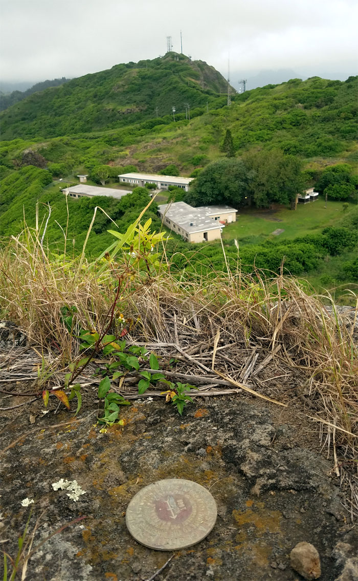
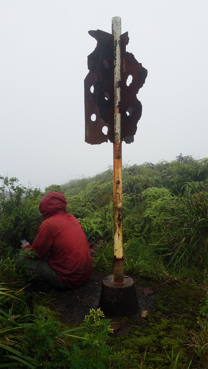
When you notice the geodetic marker for the first time, despite hiking over this area too many times too count.
Not only hang gliders fly from here, but rocks as well.
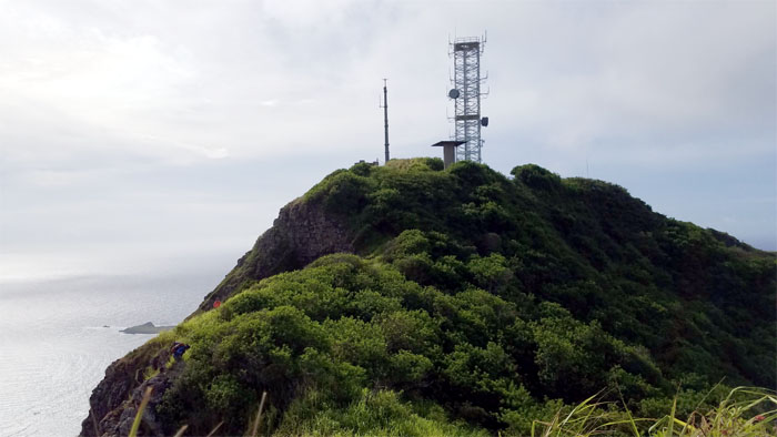
Leaving behind the fenced communication tower.
Dropping down into the saddle.
Looking for some shady trees.
It was an awesome day at the summit, no camping needed. Drone photo by Matt Vidaurri.
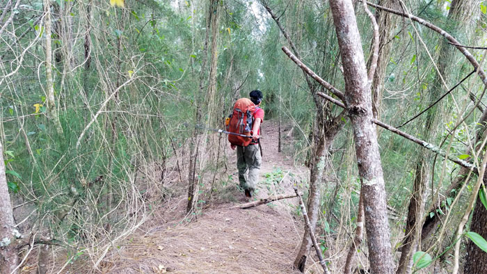
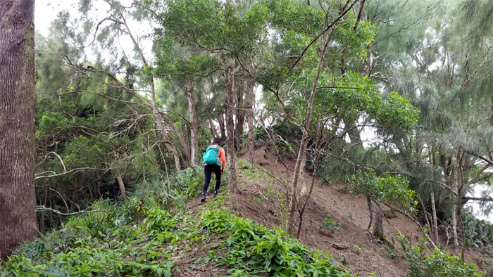
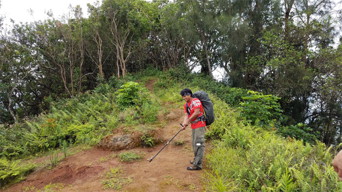
Walking on the pine needle matted ridge line.
Leaving our canopy cover for a stretch of exposed ridge line. Luckily the clouds were providing cover from the sweltering sun.
No unnecessary climbing today.
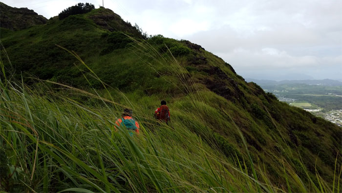
Brushing our way through shoulder high buffalo grass. Scratch and itch.
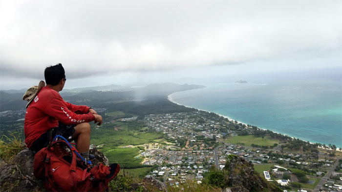
Watching an isolated rain cloud sweep the Waimanalo coast.
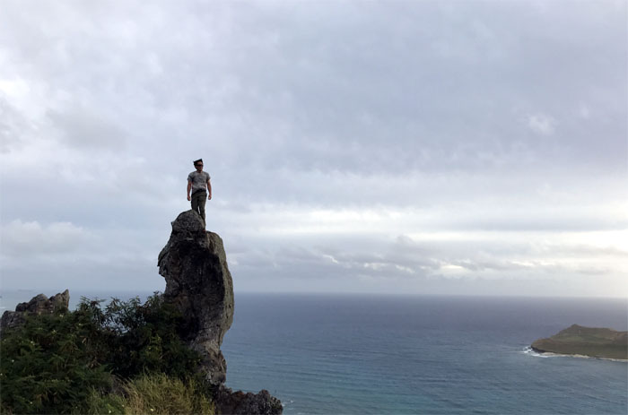
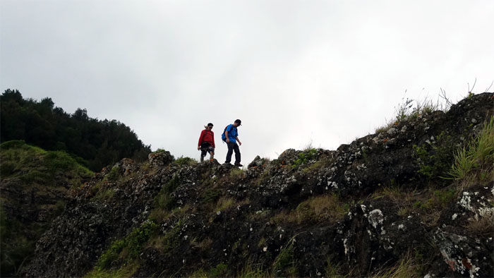
Clayton and Matt checking out the rock tower reportedly first climbed by a hiker named Rito.
Back in the forested ridge line.
It worked for me as a kid, how come it doesn’t work now? I want my money back. Photo by Matt Vidaurri.
Climbing down from the 1,361′ summit of Kaluanui. Photo by Matt Vidaurri.
Contouring our way behind the roughly triangular shaped rock, depending on your point of perspective.
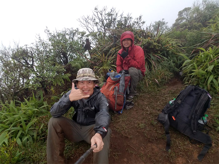
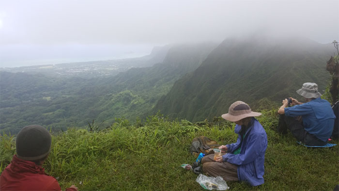
Talk story time.
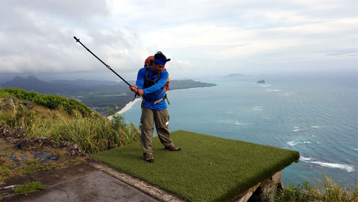
Club head + hiking stick = Golf club.
Matt looking back at the stretch of mountains that we had just covered.
We parted company with Anne, Clayton and Matt at the 2,360′ summit due to cramping and work calling.
Chris climbing up the severely eroded section after leaving the bustling summit.
No time to go left or right, just straight ahead. Photo by Chris Bautista.
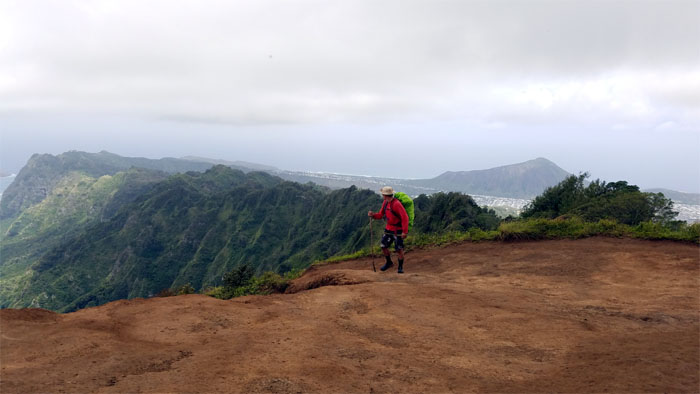
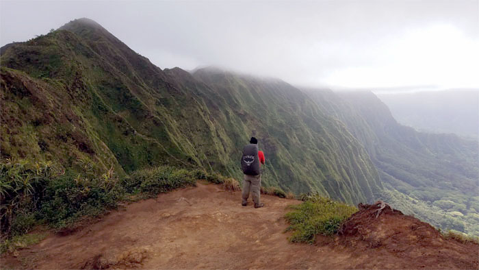
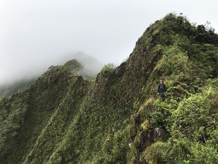
Chris against the backdrop of the fluted flanks of the Ko’olau Mountains.
Leaving the 2,200′ summit for cloudy views.
Nobody else here at the 2,520′ summit.
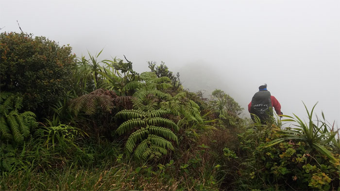
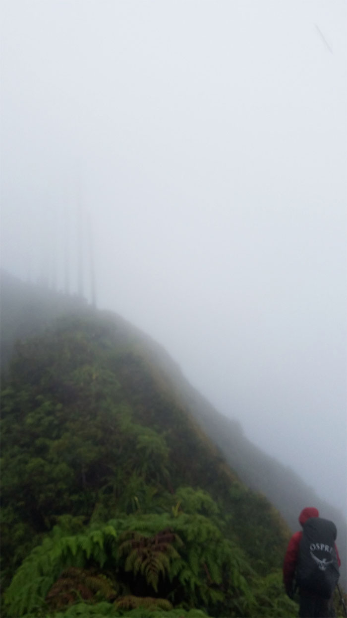
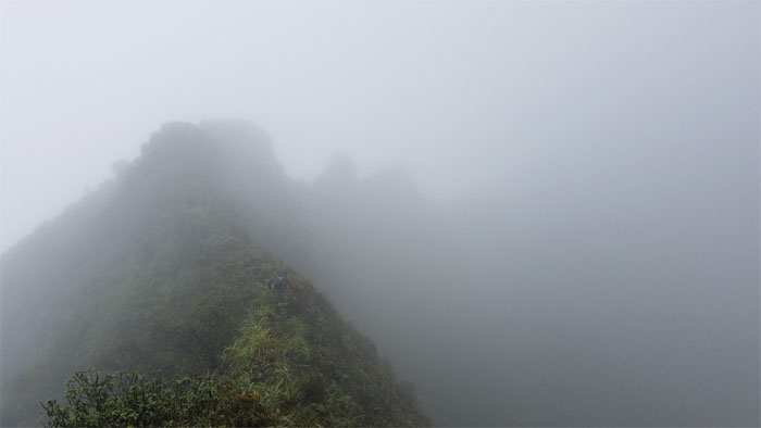
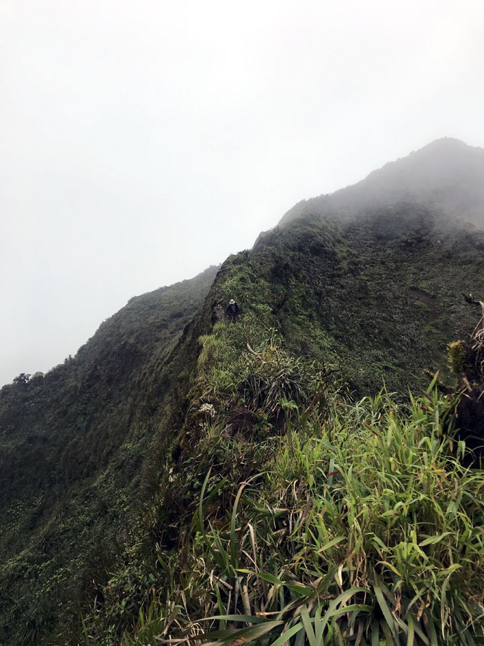
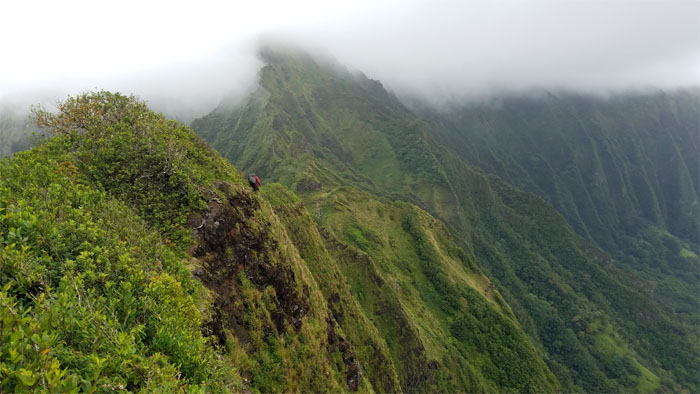
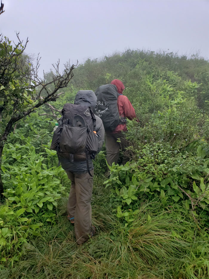
Back on the cloudy ridge line.
What happened to the partly sunny day forecasted by Guy Hagi? Fool me once, shame on you; fool me twice, shame on me. I think it’s been more than twice.
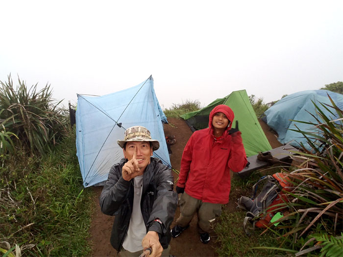
We arrived at the 2,480′ summit to find that another couple had beaten us to call it home for the night. Luckily we were able to squeeze our two tents in with theirs. Thought we were in for a night of socializing, but they zippered up their tent as I guess our odor was particularly offensive. It could have been our manners.
Day 2 – Rolled up our tents as our neighbors were still sleeping and we continued hiking in the clouds.
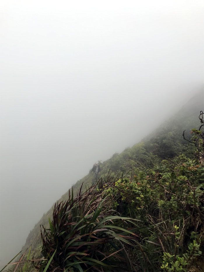
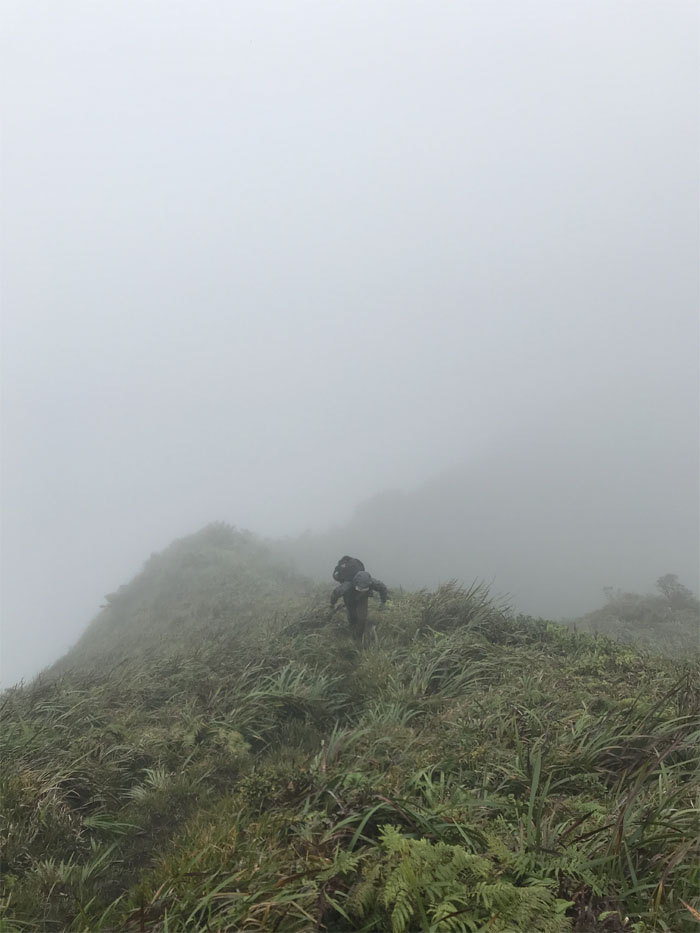
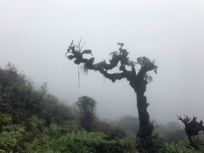
I guess we are in for another day of whiteout views.
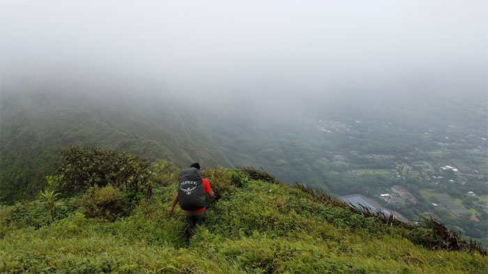
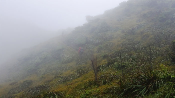
Dropping down the big hill to valley views of milkiness.
Rocket ship ready to take off and leave the clouds behind. Wished we could have joined.
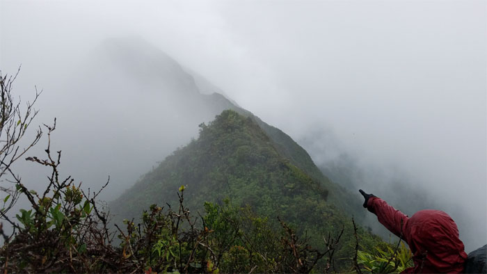
Chris pointing to the cloud covered summit of Awaawaloa.
Climbing my way up through the clouds to the 2,486′ summit. Photo by Chris Bautista.
The water is safe to drink up here.
Valley vistas improved significantly on the contour trail. Photo by Chris Bautista.
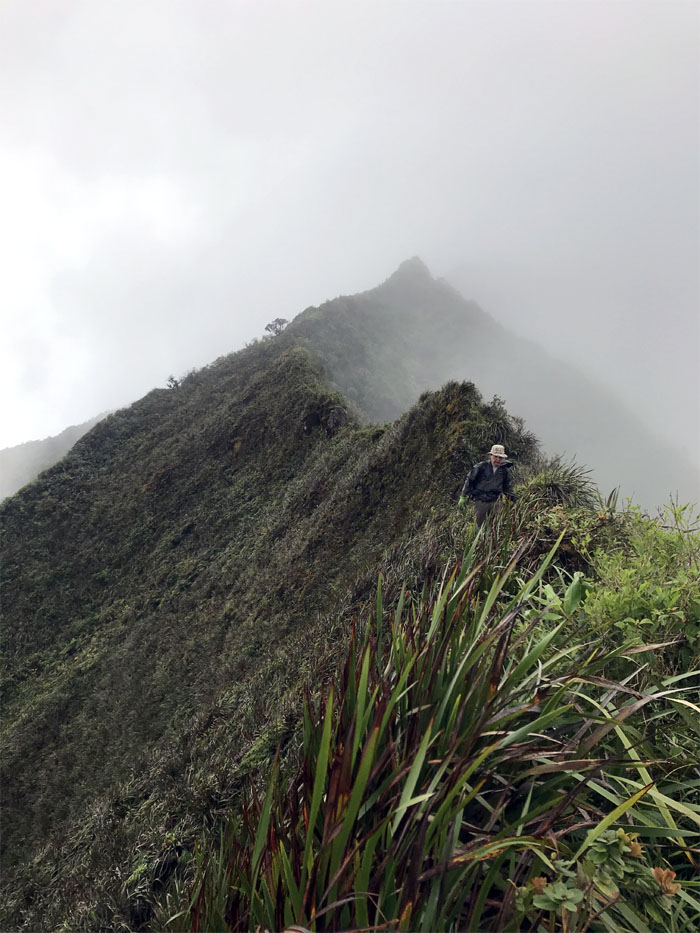
Back on the cloudy again ridge line. Photo by Chris Bautista.
We shared the summit with the HTMC trail clearing crew that had come up from Manoa Valley.
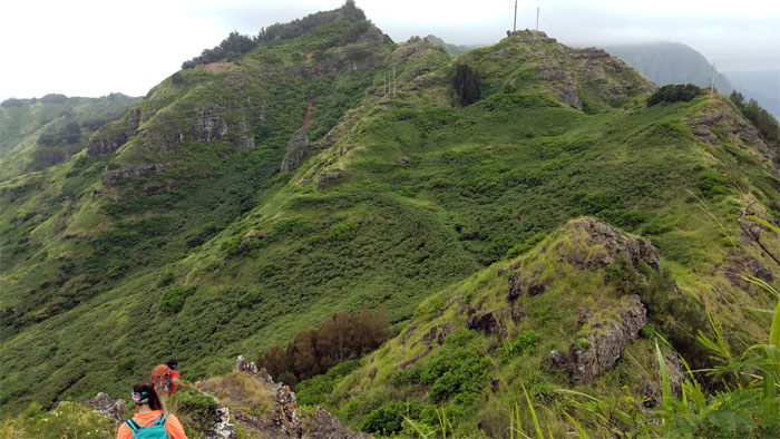
The grassy meadows hiding the many false summits before we hit the crown jewels of the Ko’olau Mountains.
Are we there yet? Photo by Chris Bautista.
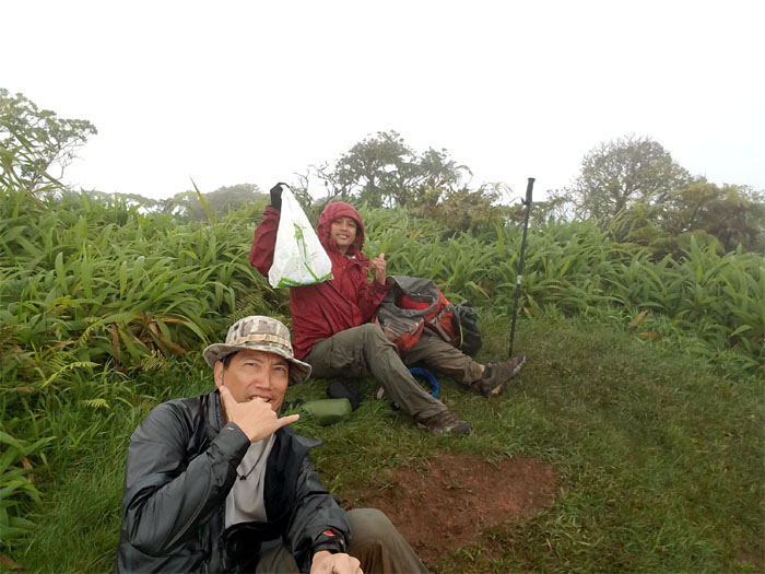
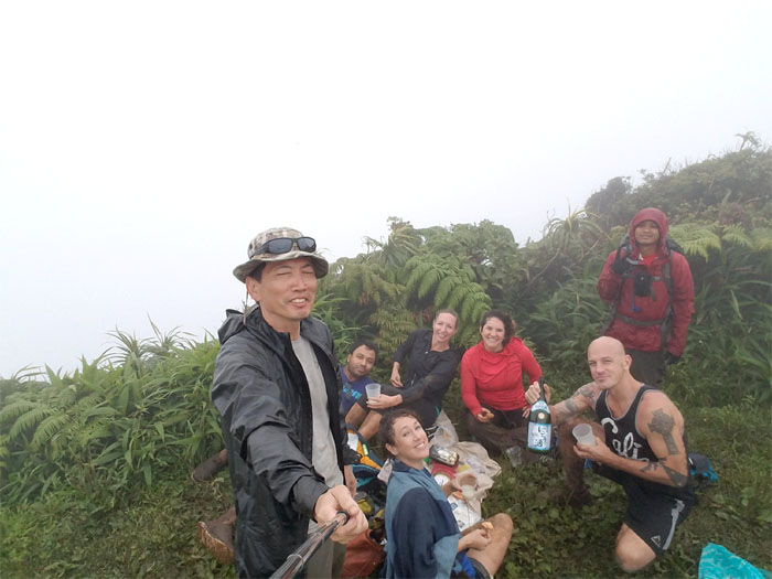
We crashed a wine and cheese party in progress. Came too late for the cheese. Just have to use our imagination.
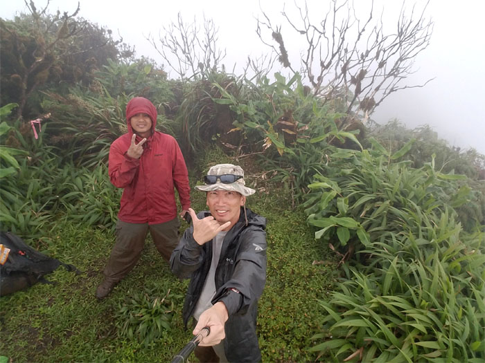
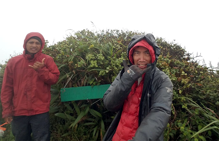
Typical socked in summit day on the highest point of the Ko’olau Mountains.
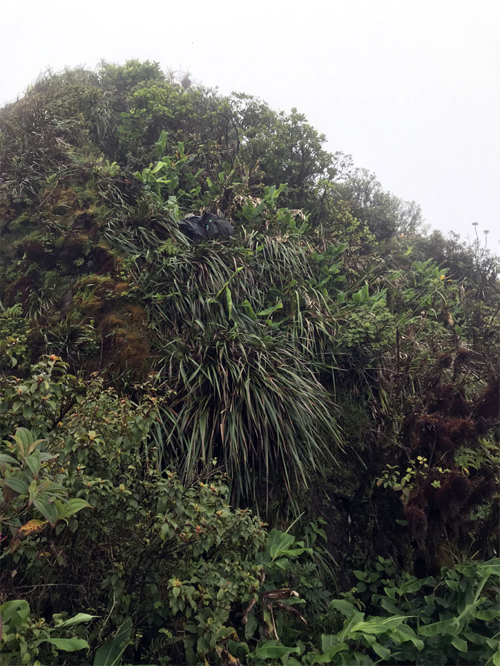
Making my way down the mud wall. Photo by Chris Bautista.
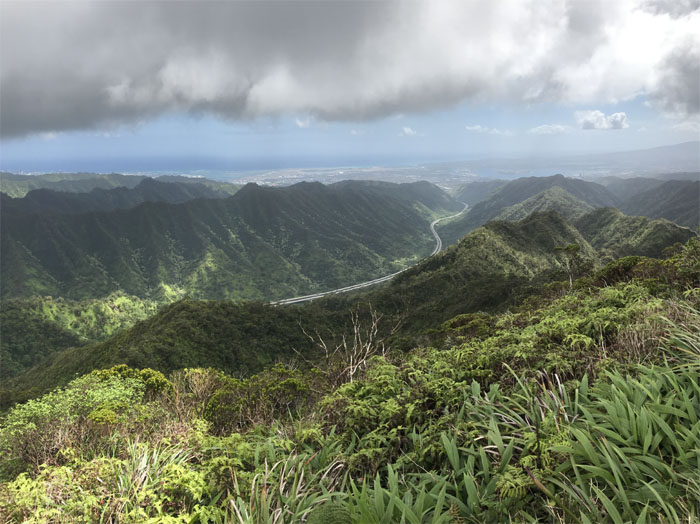
We slowly started to see the views again.
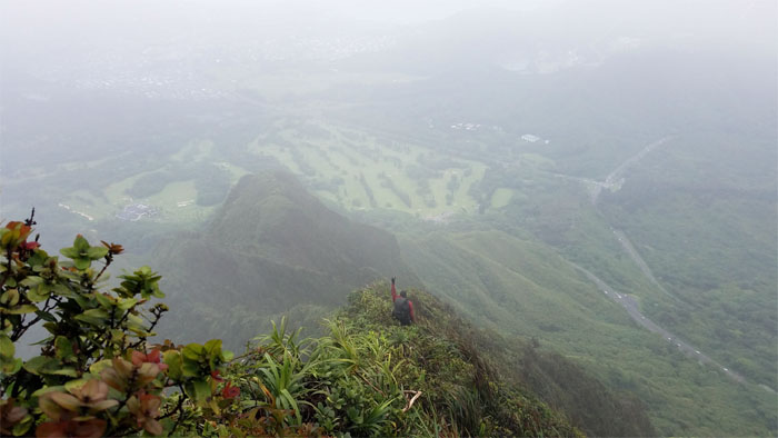
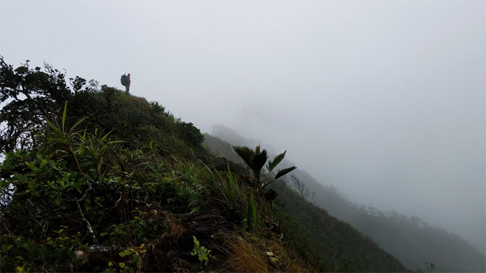
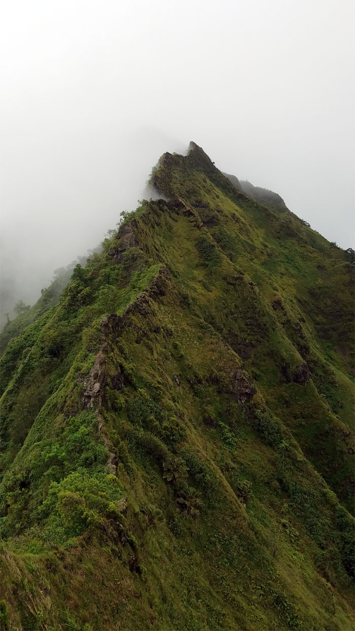
Leaving the clouds behind on the wind swept ridge line. Photo by Chris Bautista.
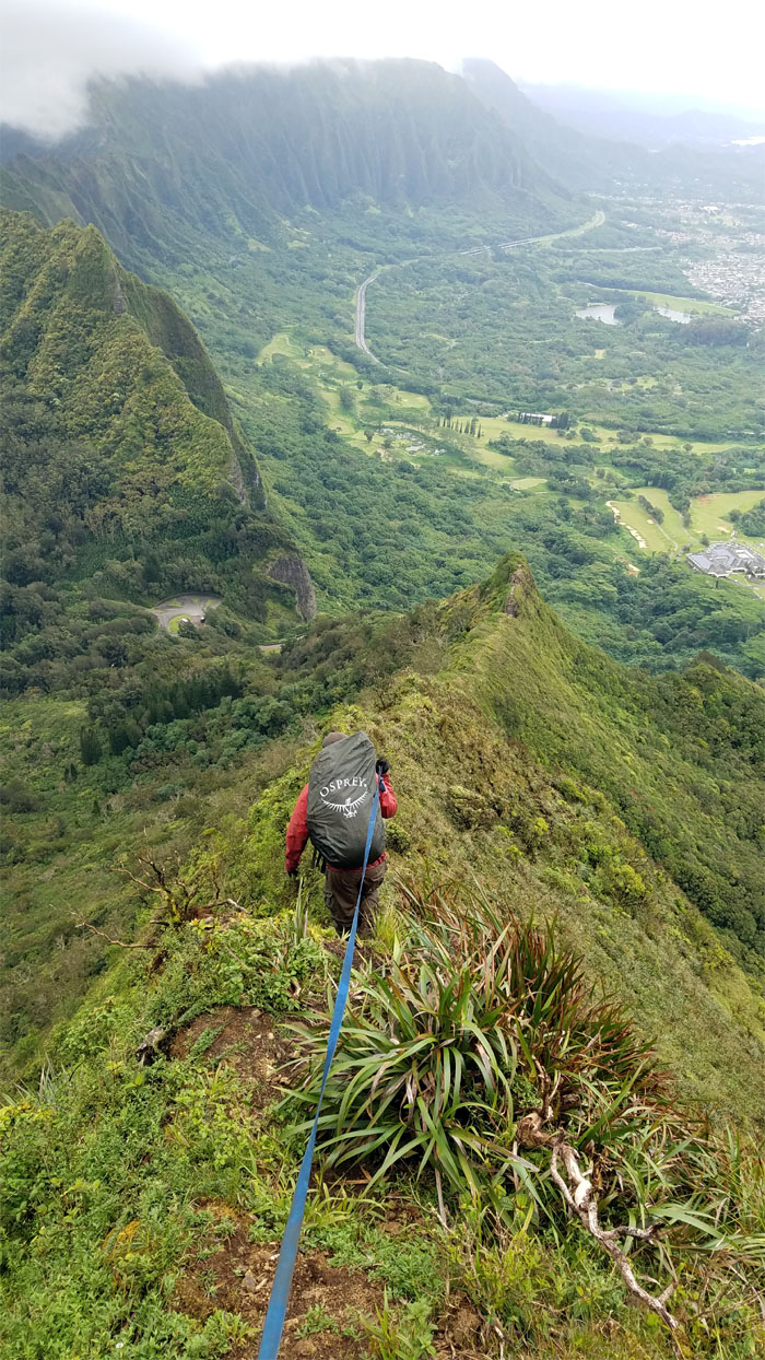
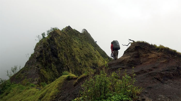
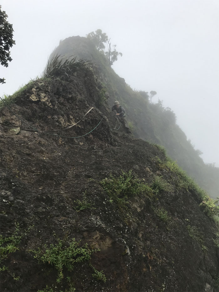
Following the webbing down the ridge line.
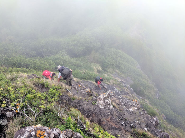
Climbing down the chimney. Photo by Chris Bautista.
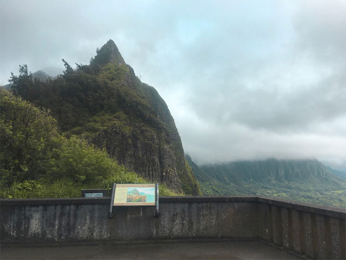
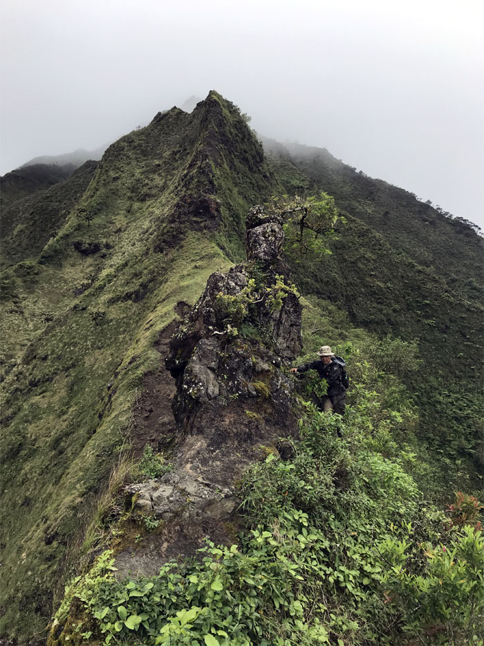
Leaving the chimney behind us as we made our way towards the notches. Never say never. Photo by Arnold Yago.
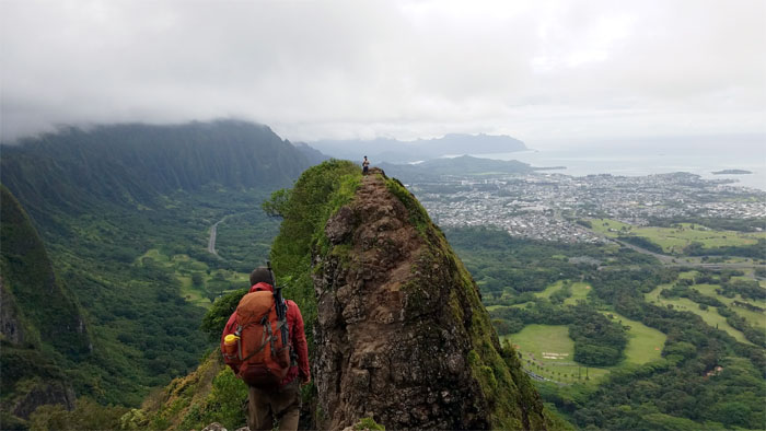
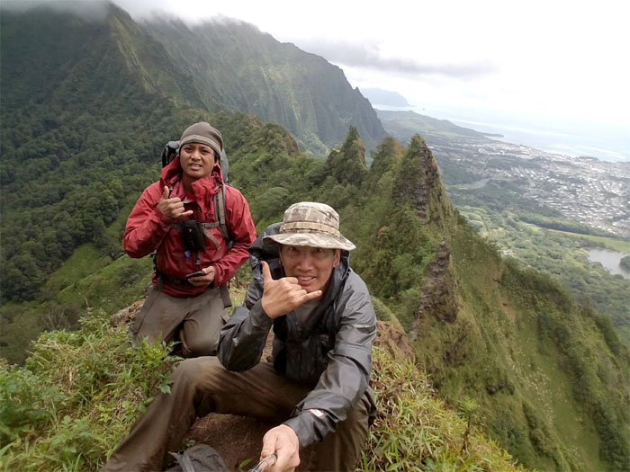
We spotted a familiar face on the second notch. Arnold!
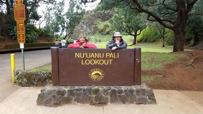
Trying to blend in with the tourists. Photo by Arnold Yago.
Mahalo to Arnold Yago, Daryl Cacatian and Nina Arca, Matt Vidaurri, Owen and Tricia Adams and Shirley Hamamura for bringing us refreshing beverages and hot food and keeping us company.
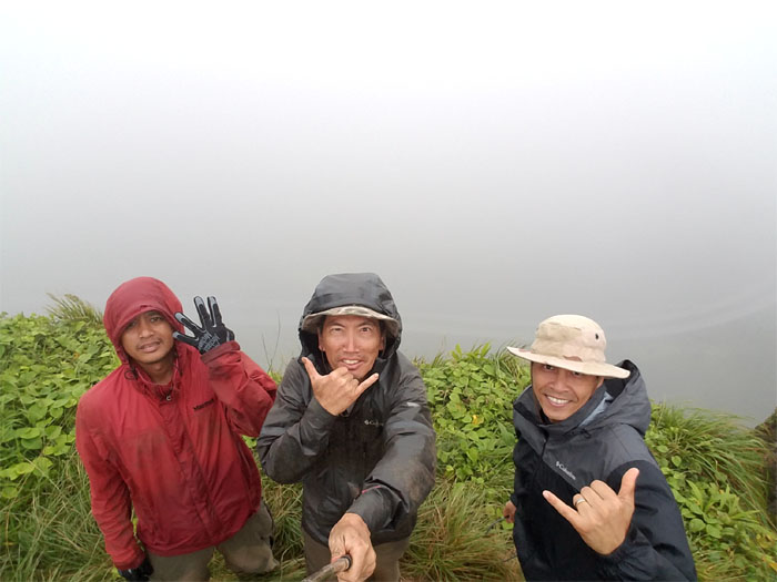
Day 3 – We woke up to the pitter patter of rain and gloomy weather that was hanging around the mountains. I know some of our friends thought we would have to call it on account of the weather and bail from our hike. But somebody said “we chance ‘em.” So off we went. Photo by Daryl Cacatian.
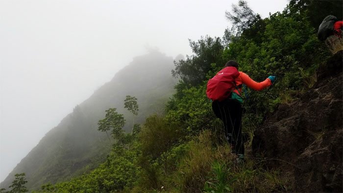
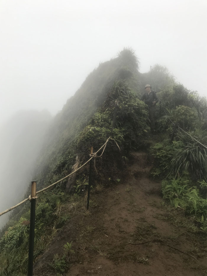
Contouring up the slippery rocks, we soon regained the ridge.
Rainbows are ones reward for hiking in the rain. Photo by Chris Bautista.
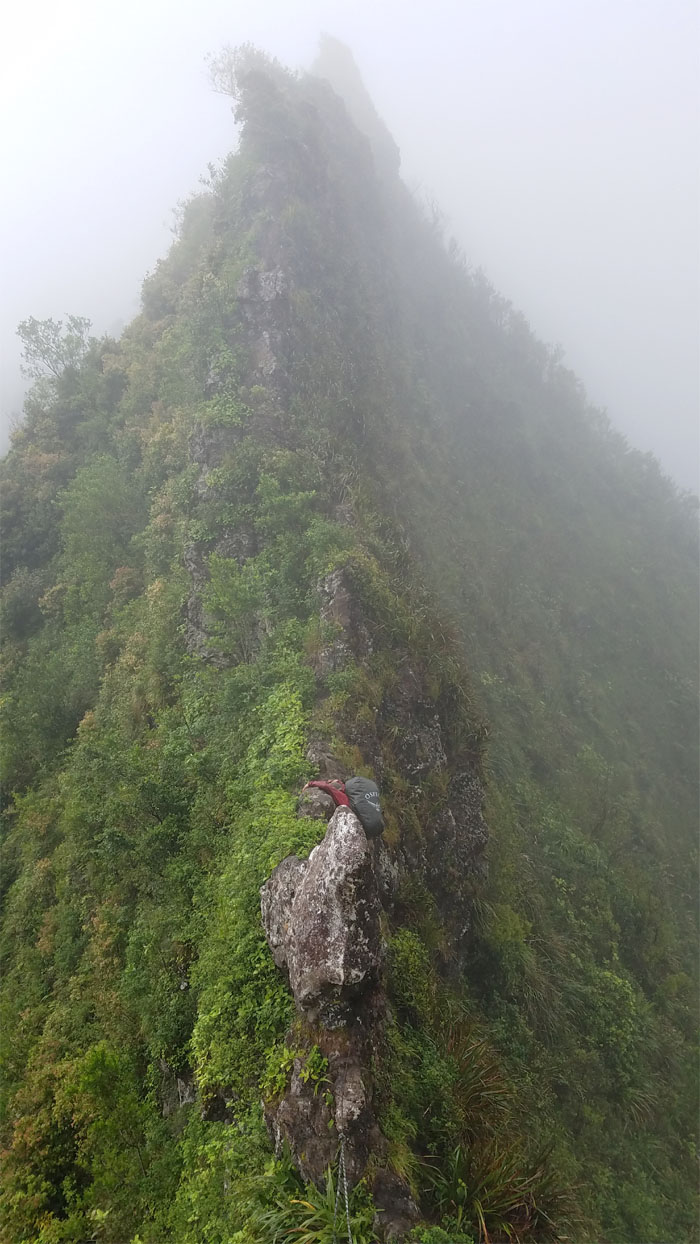
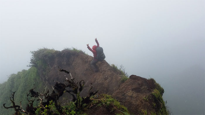
No swinging around the rain slicked rocks today, just careful climbing.
Making our way to the triple diked formation.
Clear on the Leeward side, cloudy on the Windward side.
Chris dropping down from the anvil rock.
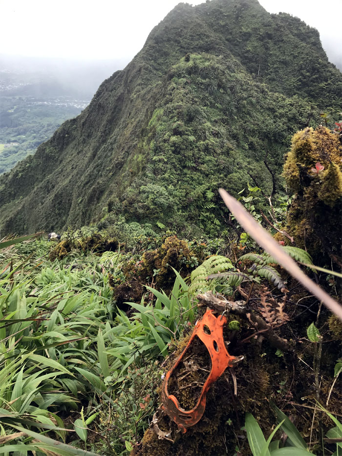
Lost and found on the mountain – one spike and one spike only.
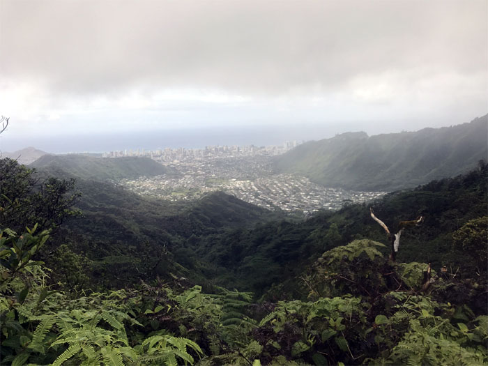
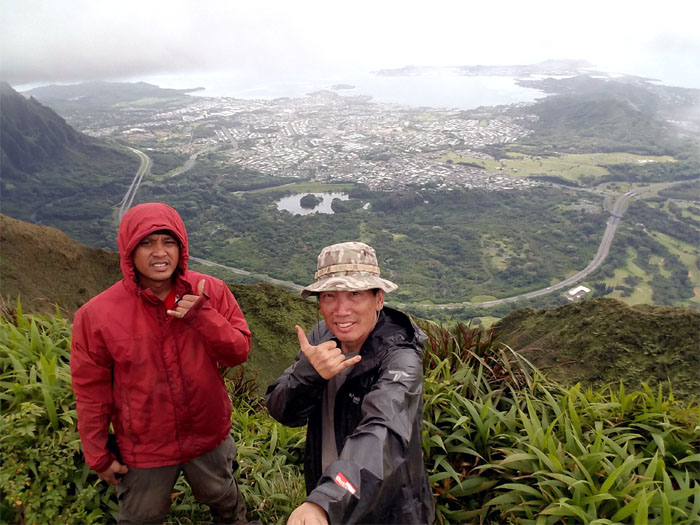
Temporary views were granted to us at the 2,700′ elevation.
Descending down from the swirling heavens. Photo by Chris Bautista.
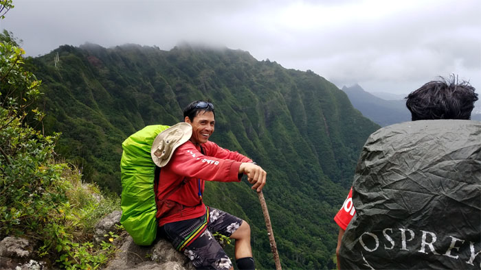
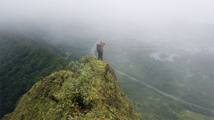
Chris standing on a knob overlooking the cloud filtered views of the Windward side.
Riding the dirt dragon or what’s left of it.
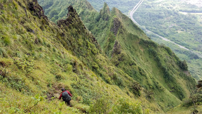
Preparing to walk down the wall of uki grass.
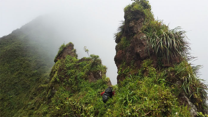
Contouring around the can opener.
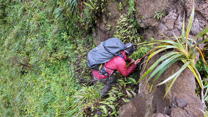
Making my way down the last tier of the wall. Photo by Chris Bautista.
Keeping a watchful eye on the sofa sized chunk of rock that looks ready to fall off the mountain.
Carefully making my way around the crumbly rock, so I don’t do any popping. Photo by Chris Bautista.
Knock, knock. Who’s there? Hike. Hike who?
Rabbit. Rabbit. Rabbit. Oh never mind, it’s not the first day of the month.
Bunny earing myself coming down. Photo by Chris Bautista.
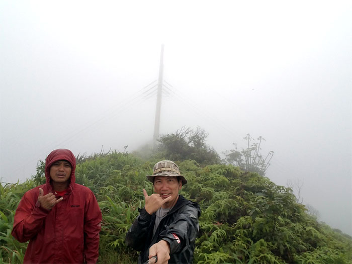
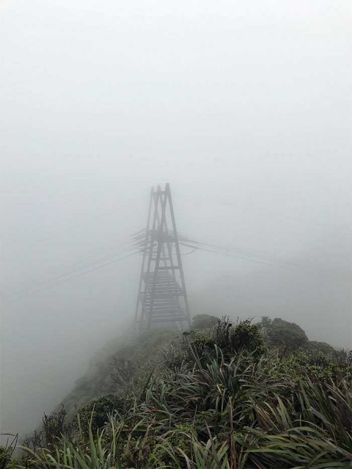
Approaching the power lines.
No refreshing rest at the power lines as we continued up the backside of the hat.
Making my way down from the hat. No trick or treat for me. Photo by Chris Bautista.
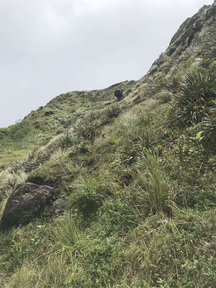
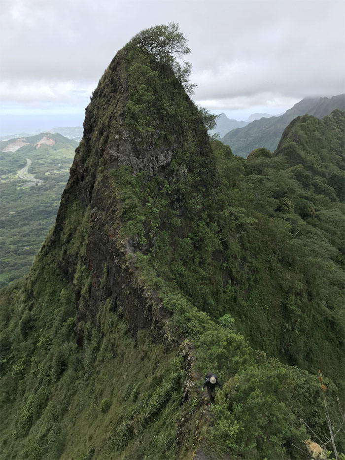
Uphill climb ahead of us. Photo by Chris Bautista.
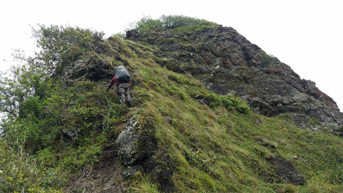
Climbing up the Windward side is the best side.
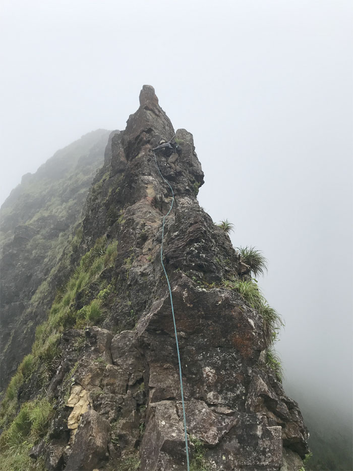
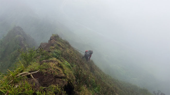
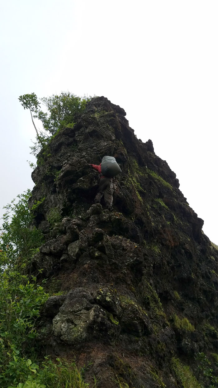
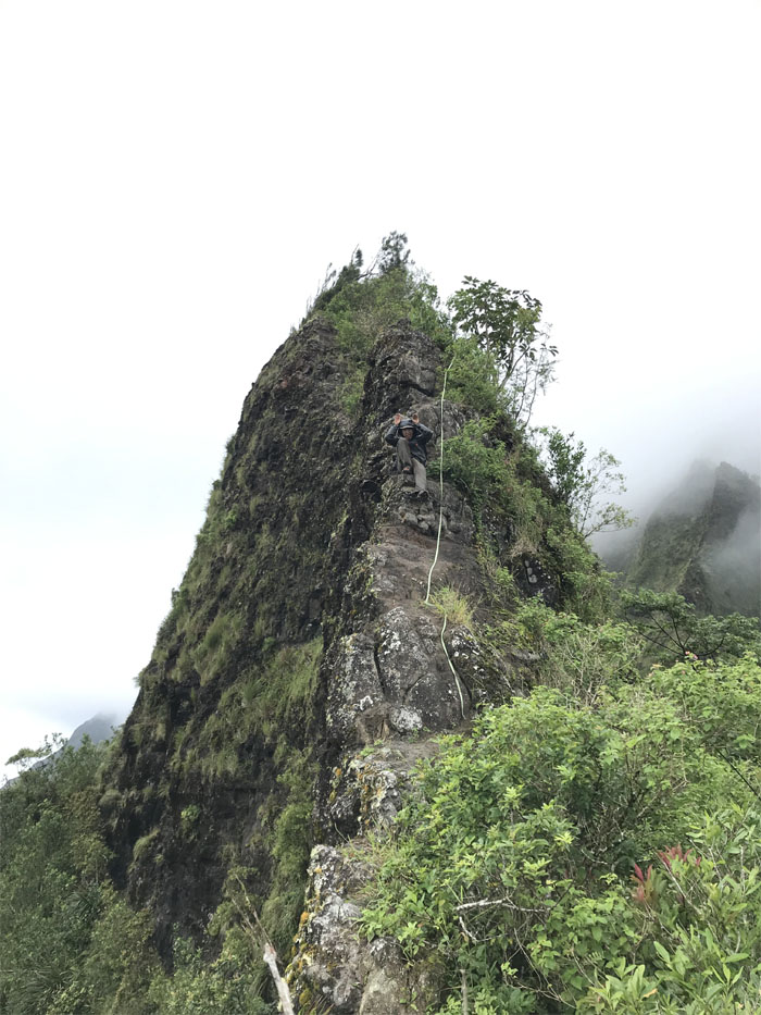
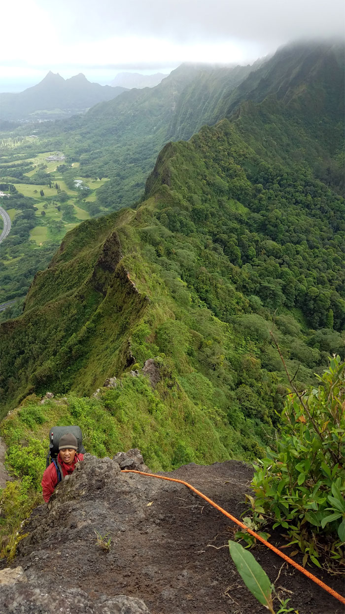
Have rope, will climb.
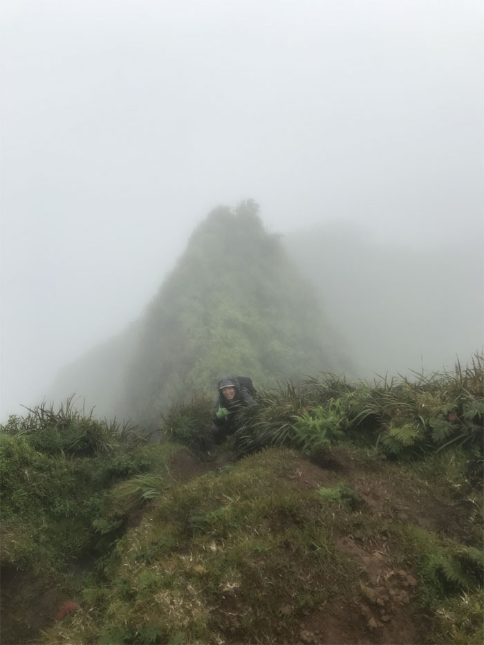
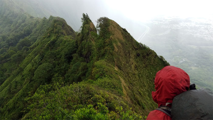
Getting my head out of the clouds. Photo by Chris Bautista.
Climbing back into the clouds. Can’t win. Photo by Chris Bautista.
Scrambling our way to the Bowman summit and our home for the night.
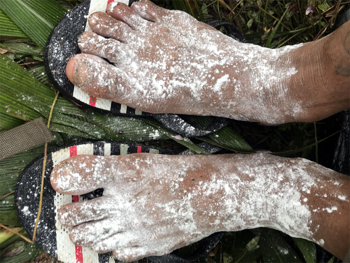
Day 4 – Waking up to long john feet. Always appetizing. Photo by Chris Bautista.
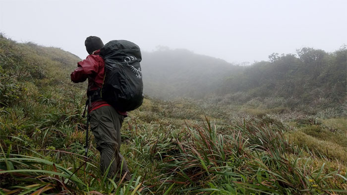
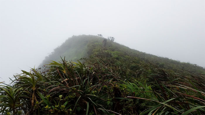
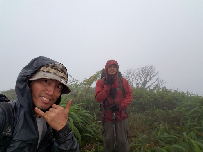
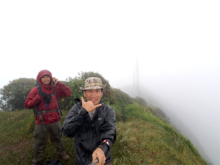
Getting ready for another cloudy and windy day in the mountains.
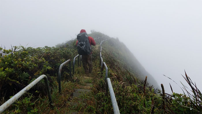
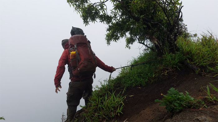
The winds were pushing us around on the ridge line. Luckily it blew in from the Windward side. We would have been in trouble if it was blowing from the other side.
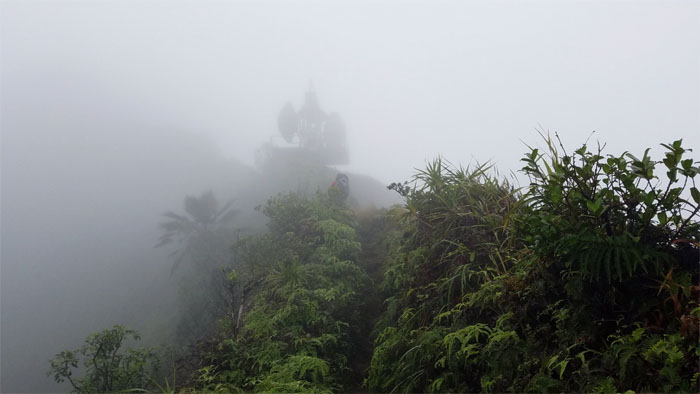
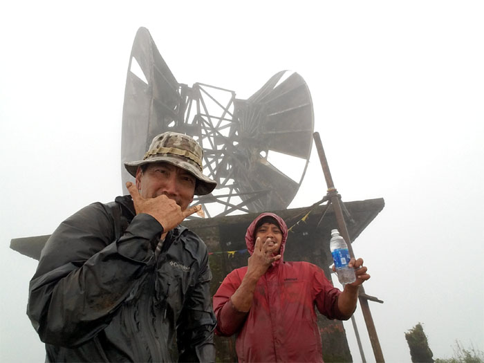
Rocket men and rocket ships in the clouds.
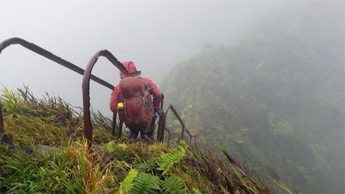
Walking down the cloudy castle steps. Photo by Chris Bautista.
Climbing past the no climbing relay station.
What happened to everybody? We had the place all to ourselves. I wonder why.
Trying to get warm in heaven. Photo by Chris Bautista
Leaving heaven as we went down the back stairs.
Chris using his kung fu grip going down the crumbly section.
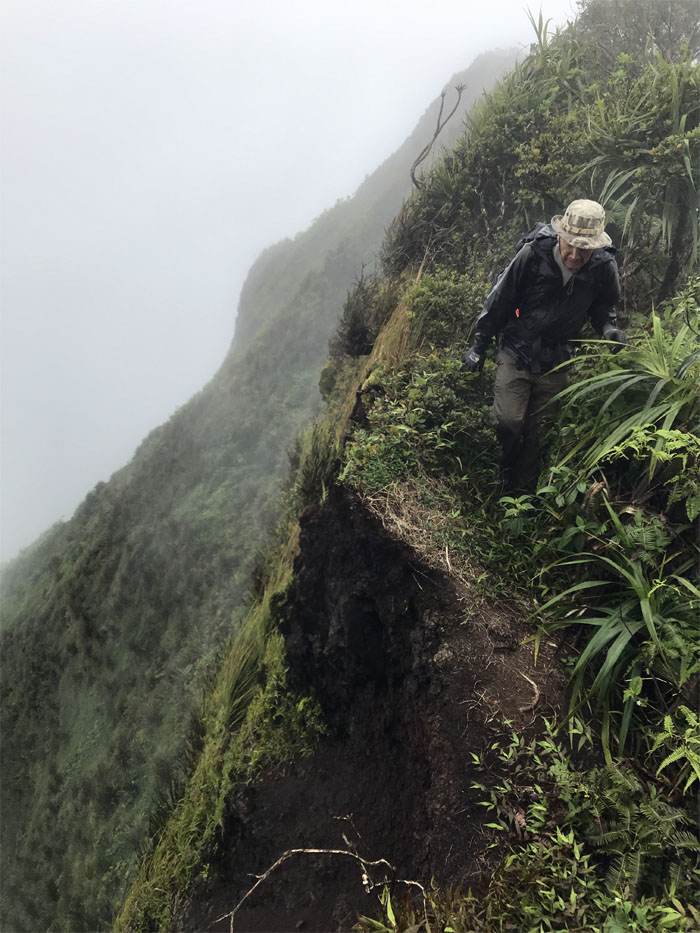
Making my way around the increasingly eroded ridge of the saddle. Photo by Chris Bautista.
Going down the Leeward side of the triangle offered us a temporary reprieve from the gusting winds.
Mahalo to Matt for meeting us with cold bentos and drinks in the middle of the saddle.
We soon said our goodbyes to Matt and resumed our hiking. Photo by Matt Vidaurri.
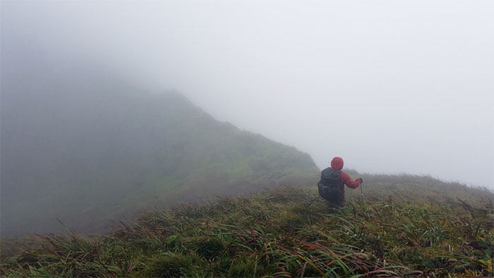
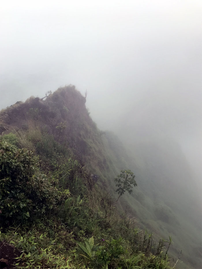
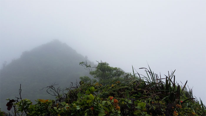
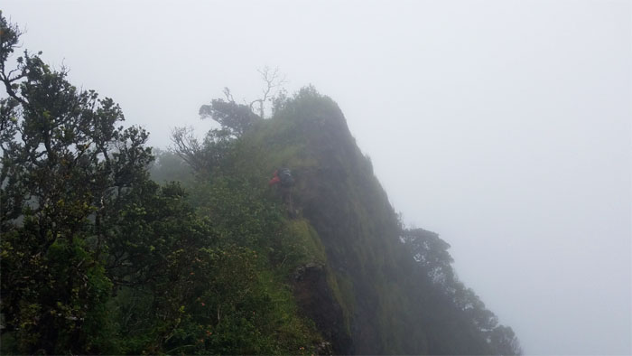
The winds and clouds were not giving us a break today.
Making my way down the constantly eroding ridge line. Photo by Chris Bautista.
Checking in with social media.
Descending down into hell.
It was quite cold in this spot of the mountains. Time to quickly move on.
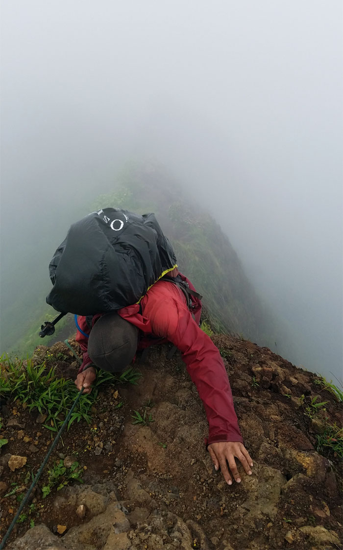
If there were a speed limit on the ridge, laws would have been broken today. The law of balance. Photo by Chris Bautista.
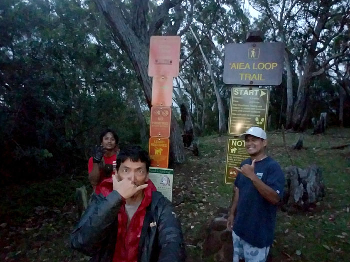
Passing the fenced endemic plant section on our way to the summit of Aiea and home sweet home for the night. No dinner for me.
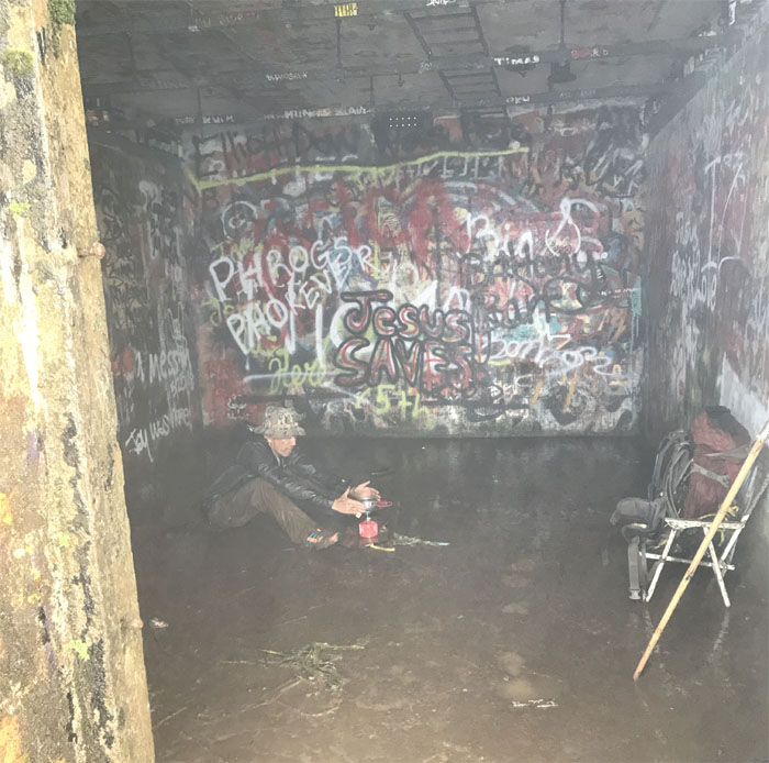
Day 5 – We woke up to more bad weather and my body in severe caloric deficit. Not to mention that my tent had somehow flipped upside down with me still in it. My stomach just quit on me again and my body soon followed.
After mulling it over for the better half of the day and with the weather and my stomach not getting any better, we left the summit to head back down to civilization. Sorry Chris. Photo by Chris Bautista.
At least the weather improved on our way back down, couldn’t say the same for my stomach. Photo by Chris Bautista
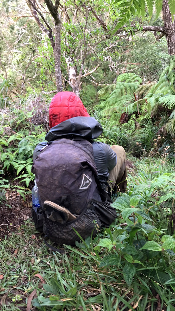
I was beaten like a rented mule. Dizzy and light headed, I had to frequently stop to right myself coming down the ridge. Photo by Chris Bautista
Thanks to Lopaka for meeting us at the end and bringing food and taking us back to our cars. Mahalo to Chris for keeping me company in the mountains and everybody else that supported us on the hike.
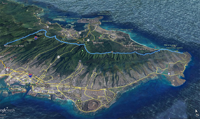
Our gastrointestinal interruptus hike covered 24.61 miles through the sometimes clear, cloudy, rainy and windy Ko’olau Mountains. While we did not get to “penish” to the end, glad for the company from beginning to the end. Big thanks to my wife for letting me try this again, I don’t think I’ll be back. Post hike meal in the parking lot, KFC is what’s for dinner.
Note: I have been made aware that some hikers have been using my blog as a hiking guide and getting lost on the trails. Please note that this blog was made to document the hike for the crew(s) that did it. That is why some of my comments will seem to have no relevance or meaning to anybody outside of the crew(s) that hiked that trail. My blog was never meant as a hiking guide, so please do not treat it as such. If you find inspiration and entertainment from these hikes, that is more than enough. If you plan on replicating these hikes, do so in the knowledge that you should do your own research accordingly as trail conditions, access, legalities and so forth are constantly in flux. What was current today is most likely yesterdays news. Please be prepared to accept any risks and responsibilities on your own as you should know your own limitations, experience and abilities before you even set foot on a trail, as even the “simplest” or “easiest” of trails can present potential pitfalls for even the most “experienced” hikers.





{ 2 comments… read them below or add one }
supa awesome effort. you’ll be back.
Aloha Ben,
Haha but thanks. You guys did much better, too bad the weather did not cooperate on your hike as well. I don’t know about being back. Hmmm. I’m sure you will be back!
Mahalo