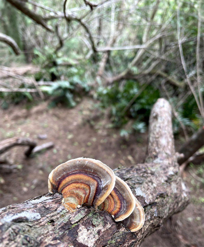
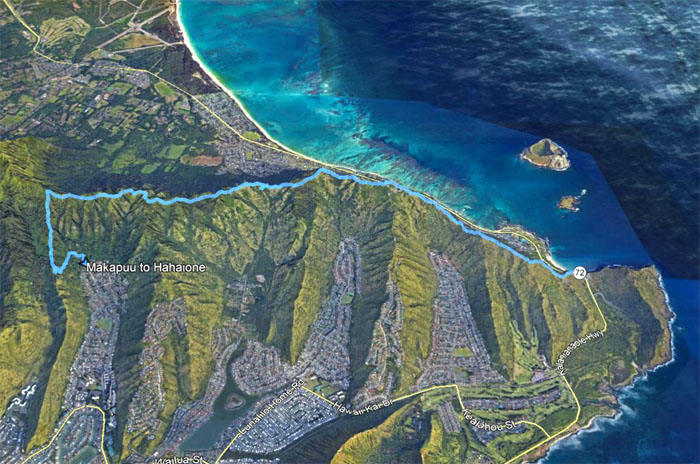
We did a leisurely stroll along the South side of the Ko’olau Mountains today. Thanks to Quan for dropping Barry, Marilyn and myself off at the bulging eye.
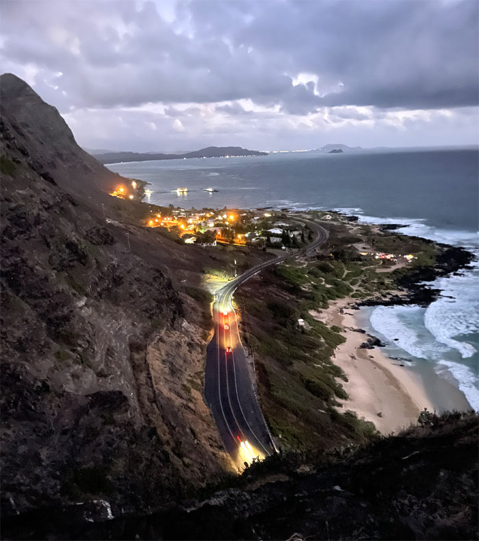
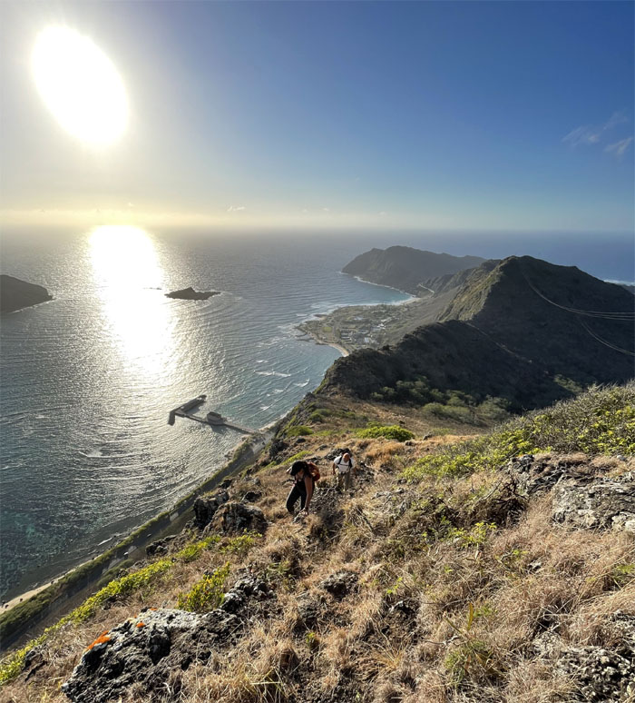
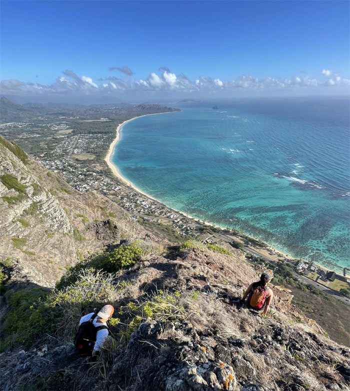
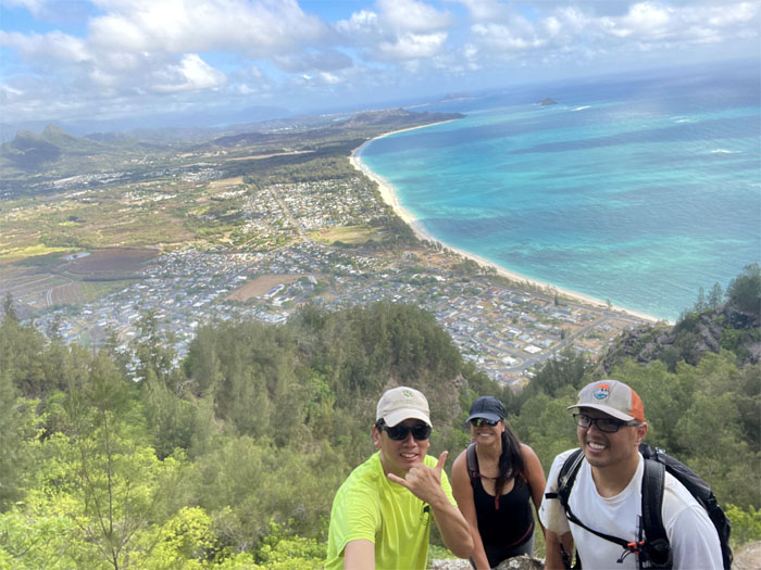
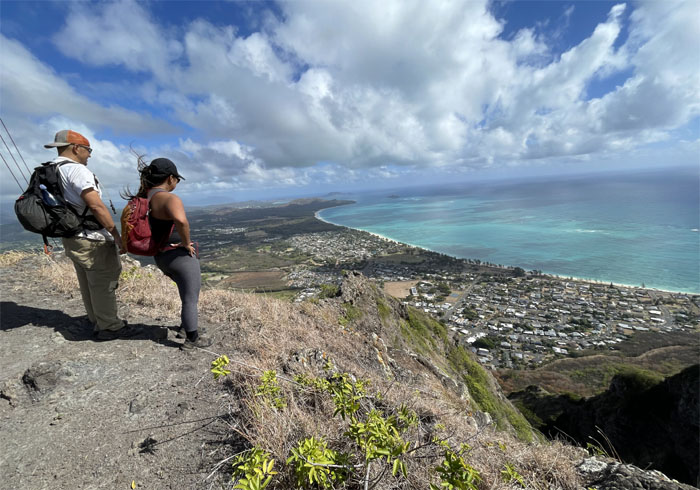
Looking down at Makapu’u Beach and Sea Life Park.
Early hikers … Photo by Barry Lau.
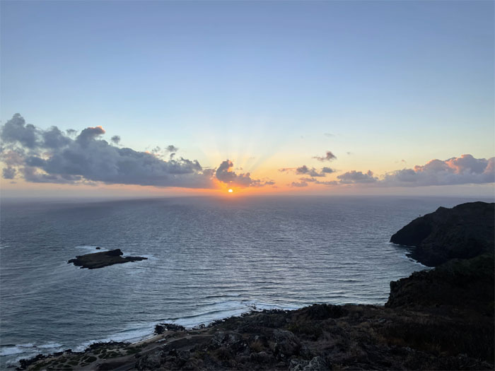
… get to catch the earth’s rotation revealing the morning sun.
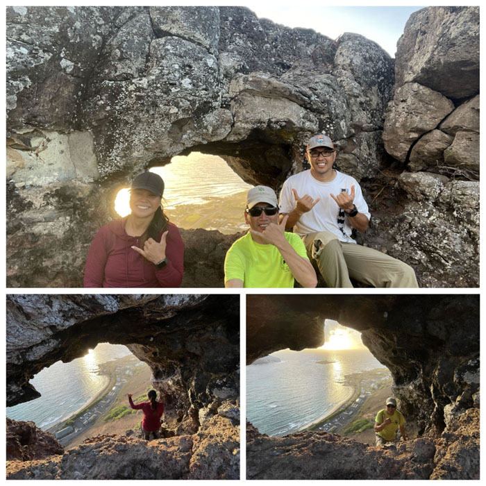
Individual and collective photos at the puka (hole) in the ridge.
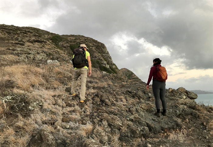
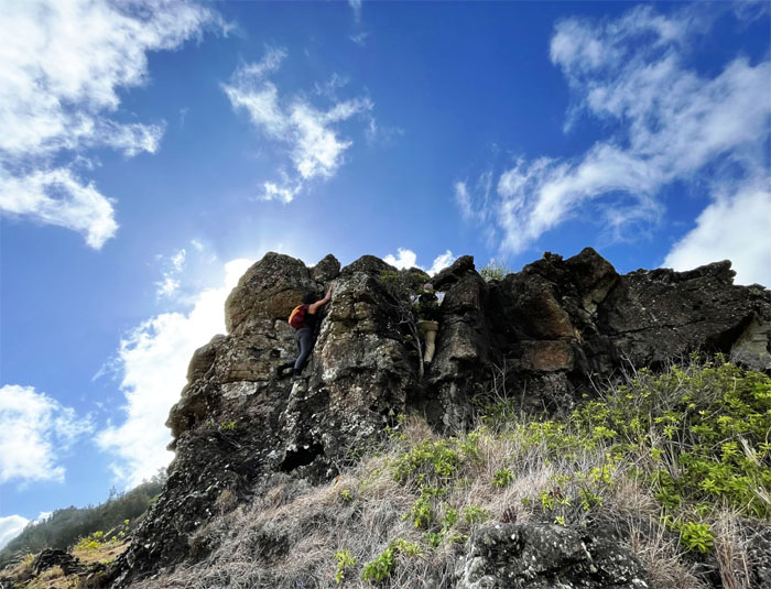
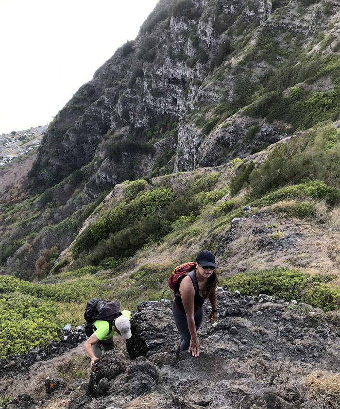
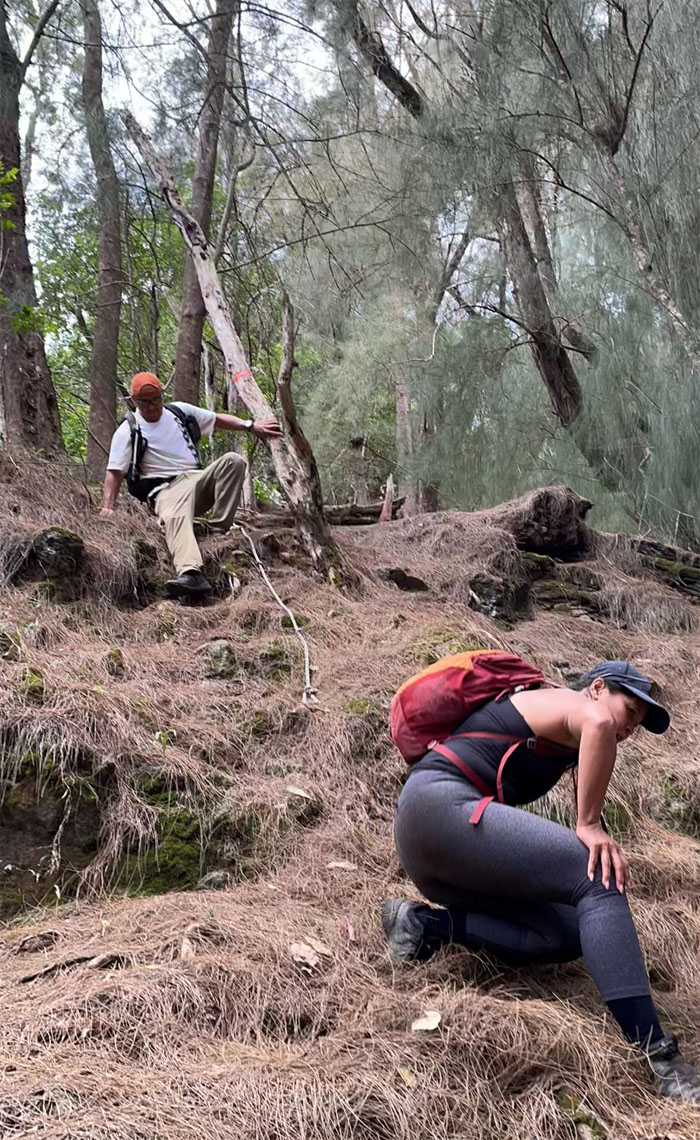
Climbing up the cliffside dominated by dry grass and rocks of assorted sizes and critters that will sting you if you put your hand down in the wrong place.
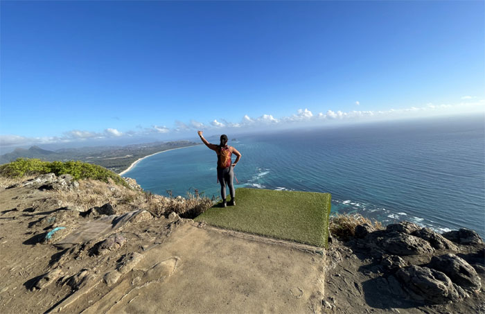
Approaching the first hang gliding platform. Photo by Barry Lau.
Somebody was waiting to get chucked off the hill.
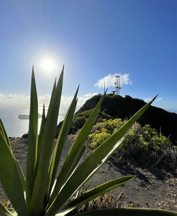
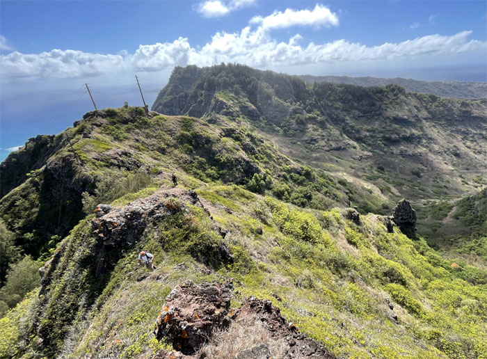
Leaving behind the communications tower and abandoned Nike air missile defense sites.
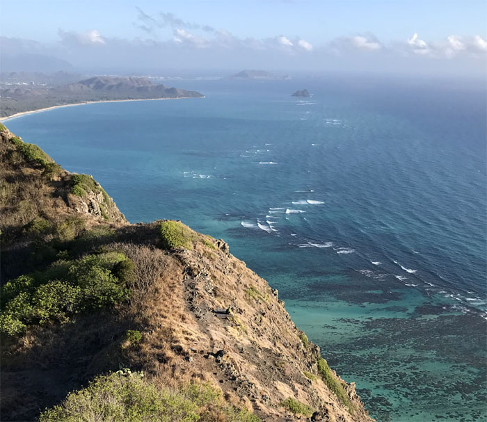
Dipping down into the saddle with the Waimanalo coastline stretched out in front of us.
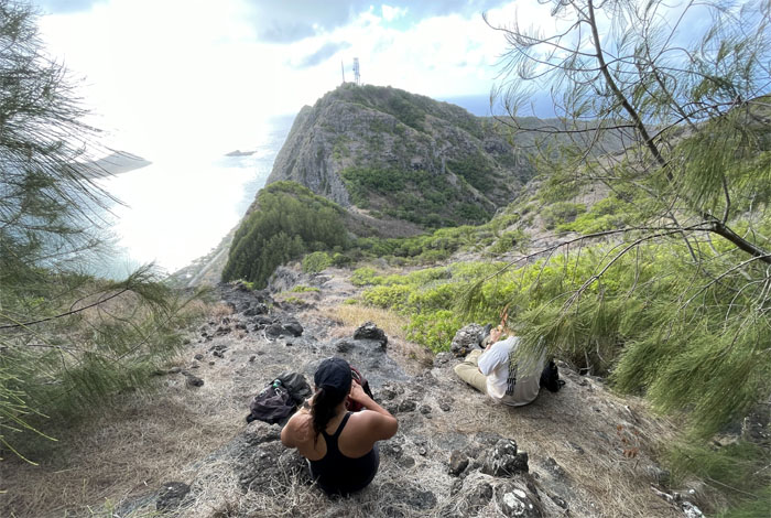
Now isn’t this a much better break spot? Shaded and out of the sun.
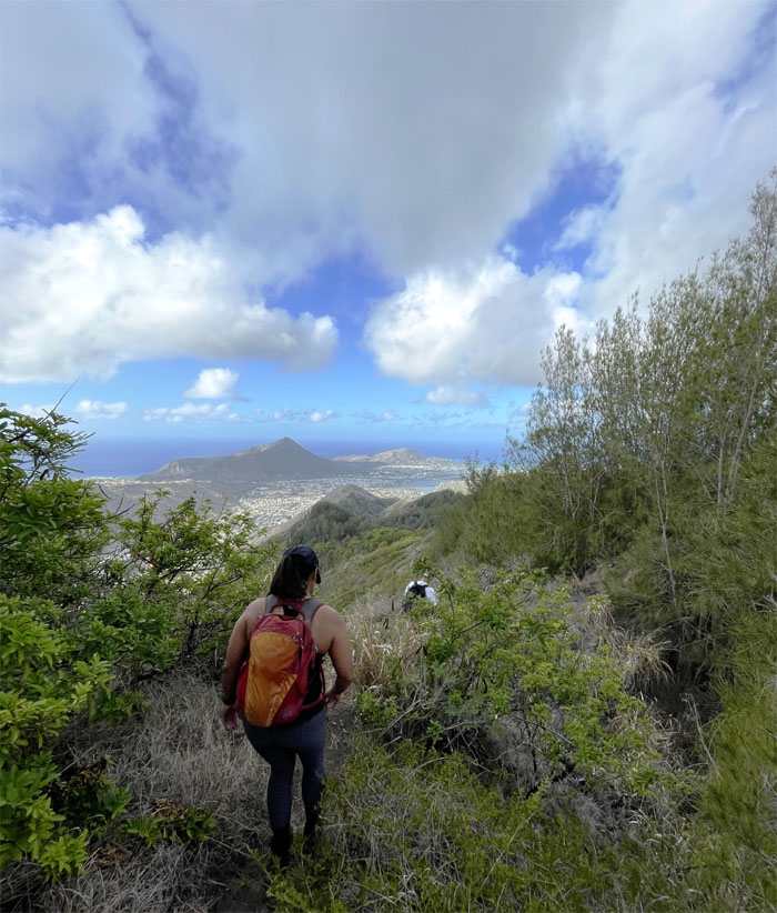
Resuming our traverse on the spine of the Ko’olau Mountains with views of Koko Crater and Koko Head in the background.
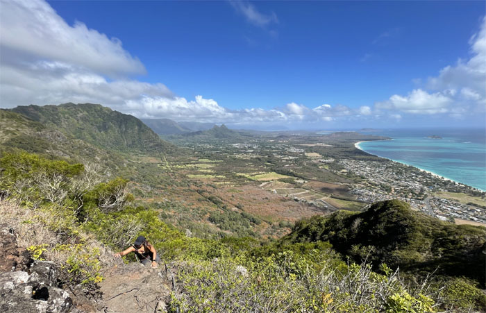
The views of the Waimanalo coastline were incrementally moving from our perspective.
All that was missing were the cardboard boxes.
Proving grounds that went extinct in the Paleolithic era. I think lack of diet had something to do with it as well.
Climbing our way up to the HECO powerline towers. Photo by Barry Lau.
Barry and Marilyn at the terminus of the trail that was named after Tom McGuire and Tom Cadle that “discovered” the old trail used by Hawaiian runners in the past.
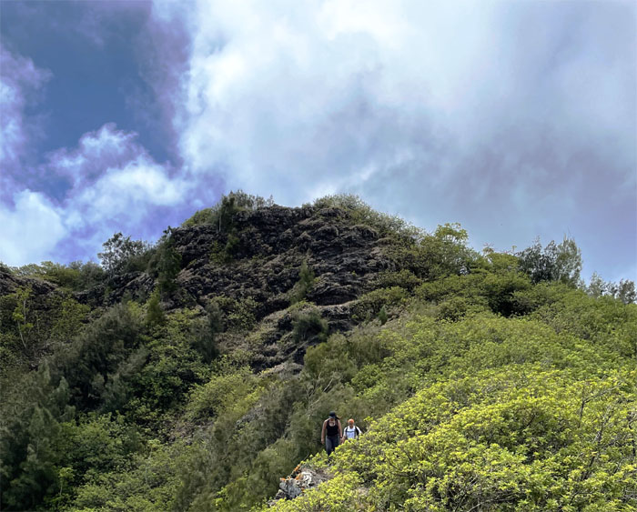
Passing the crumbly rockface, nobody was answering the call of adventure. Maybe the call of nature.
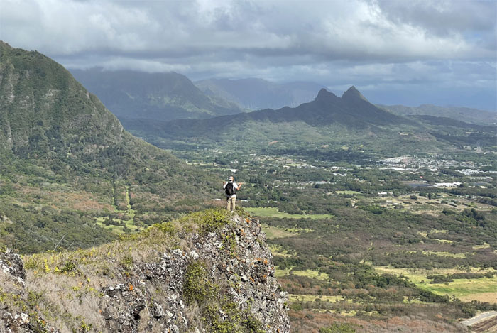
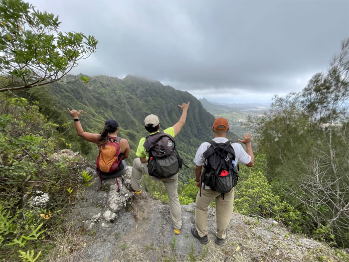
Barry enjoying the views from the edge.
Marilyn climbing up the side of the cliff using the always reliable printer cable.
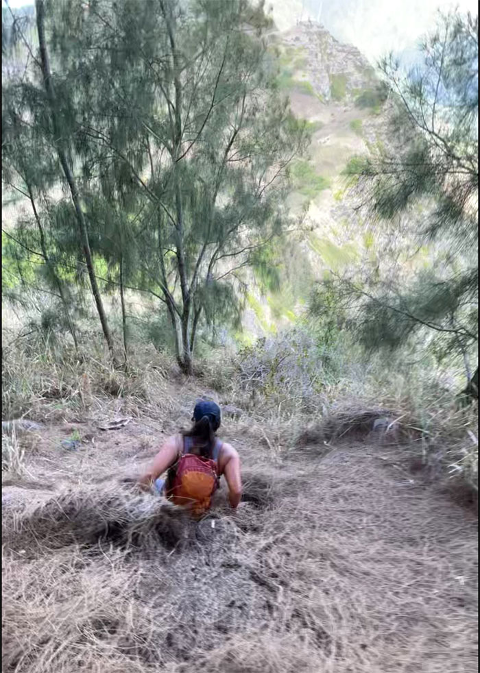
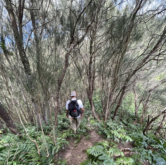
Barry plunging into the forest.
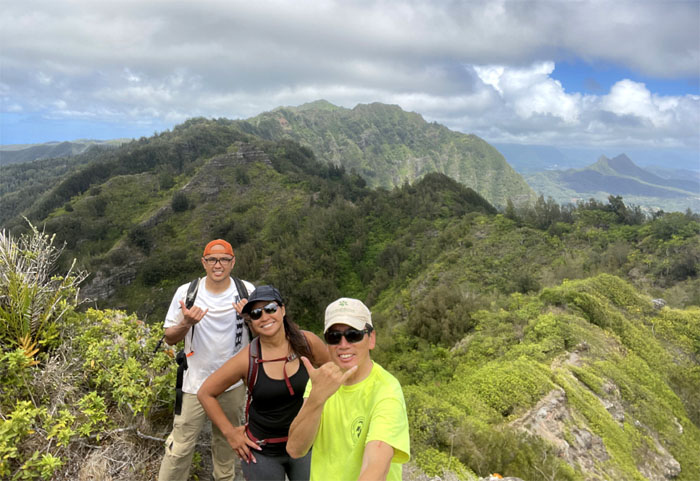
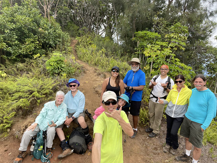
Group photo at the 1,361′ summit that Kamehameha Schools shut down back in January of 2014. What a shame. It was one of the easiest trails to access the Ko’olau Mountain Range.
Leaving behind Mariner’s Summit.
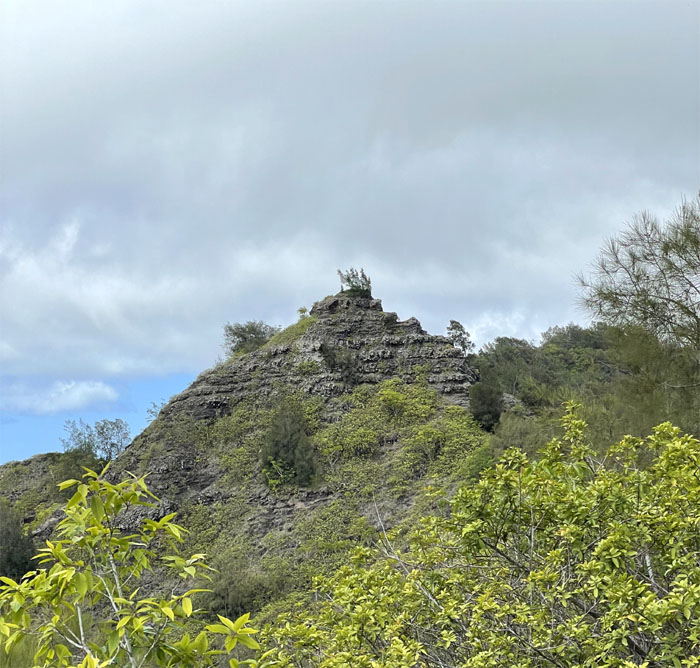
Heading towards the triangular shaped rock where we heard voices, the very same voices that would prove to be of navigational use to the group.
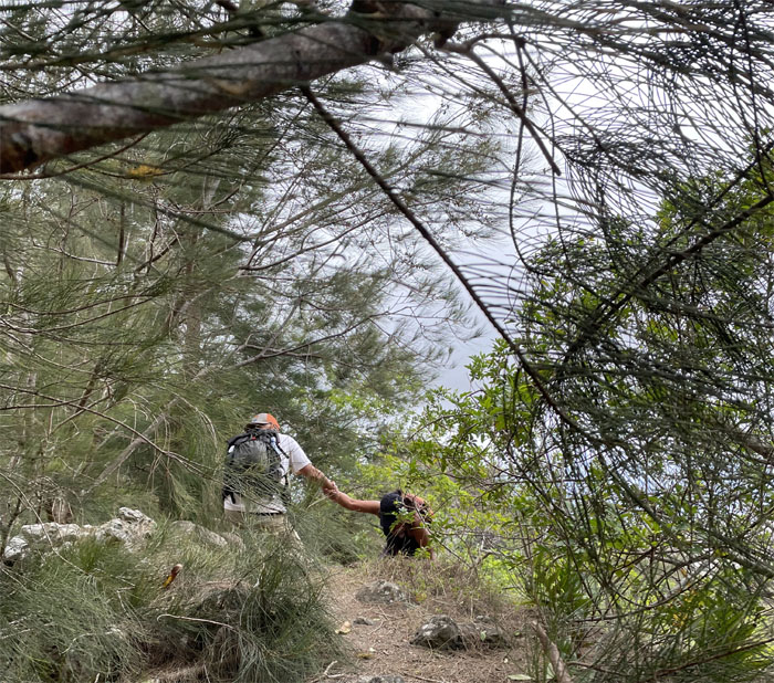
Are you lost? Do you need a hand?
Our last scenic group photo taken by the camera whipped guy.
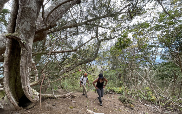
Cardio training in the mountains.
We ran into the Solemates group with their four legged friends having lunch at the top. Do you know Dale?
Where are those cardboard boxes when you need them?
Exiting the heavily trafficked valley, sign notwithstanding. Photo by Barry Lau.
Our roughly seven mile hike through the mountains came with scenic views and good company. Post hike meal at Pieology where we were joined by Aida and Quan.
Note: I have been made aware that some hikers have been using my blog as a hiking guide and getting lost on the trails. Please note that this blog was made to document the hike for the crew(s) that did it. That is why some of my comments will seem to have no relevance or meaning to anybody outside of the crew(s) that hiked that trail. My blog was never meant as a hiking guide, so please do not treat it as such. If you find inspiration and entertainment from these hikes, that is more than enough. If you plan on replicating these hikes, do so in the knowledge that you should do your own research accordingly as trail conditions, access, legalities and so forth are constantly in flux. What was current today is most likely yesterdays news. Please be prepared to accept any risks and responsibilities on your own as you should know your own limitations, experience and abilities before you even set foot on a trail, as even the “simplest” or “easiest” of trails can present potential pitfalls for even the most “experienced” hikers.

{ 2 comments… read them below or add one }
Nice views and epic shot of Barry from the edge! Love that. You had me cracking up on your refence to the old proving grounds….lack of diet??? LMAO
Aloha Aida,
Thanks. I don’t think many will get the reference and connection. Inside joke.
Mahalo