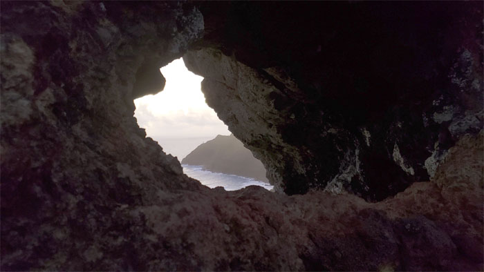
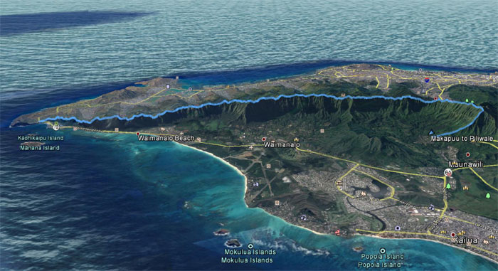
Chris and I did an abbreviated tour of the Ko’olau Mountains this weekend. Thank you Mother Nature.
Mahalo to Ferlino for dropping us off at the bulging eye to start our hike.
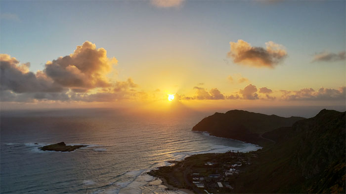
Looking back at the sun breaking over the horizon.
The holiday spirit has worn out its welcome in the mountains.
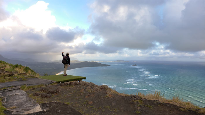
No hang gliding today. Photo by Chris Bautista.
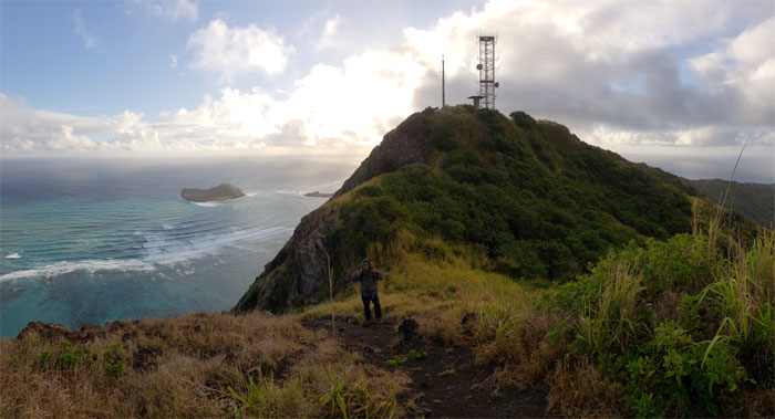
Brushing past the fenced communications tower, failed to notice if we had five bars.
Dropping down into the saddle, we noticed that the rope grinches absconded with the webbing that used to drape down the hill.
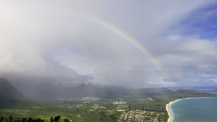
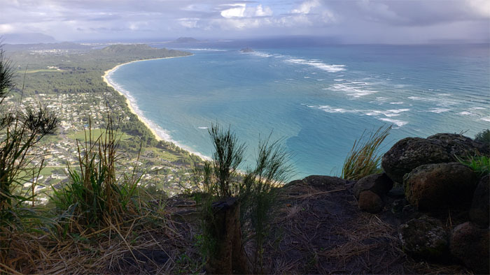
Looking out at the optical illusion arcing over Olomana.
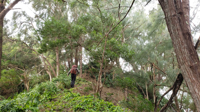
Stopping briefly in the shade and shadows of the pine trees.
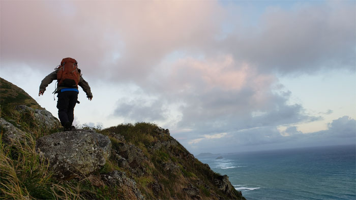
Leaving the forested ridge line as we broke out into the open trail that was thankfully still being chilled by the trade winds.
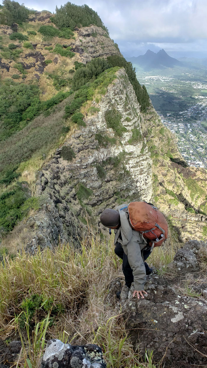
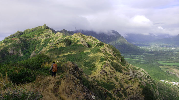
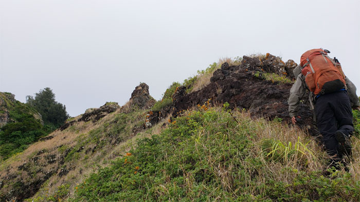
Making our way over the crumbly and rocky section of the ridge line.
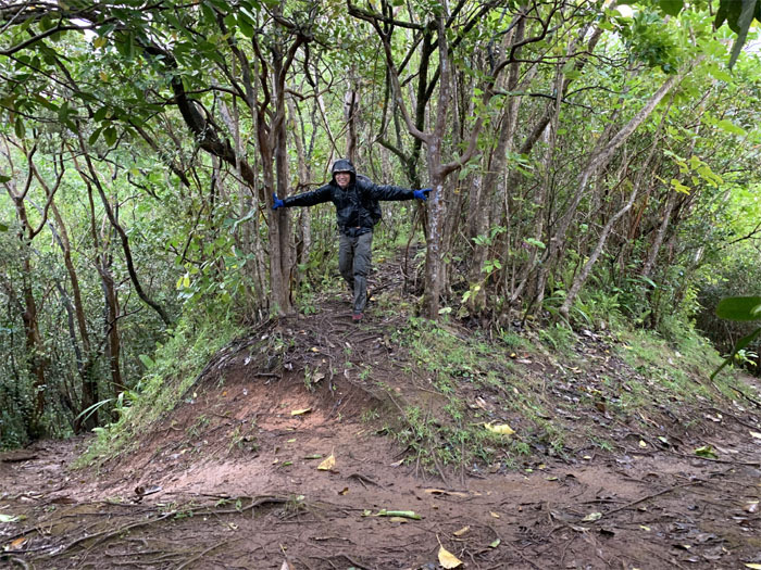
Back in the forest. Little too chilly now.
Lunch spot at the summit that KS/BE would like the public to forget.
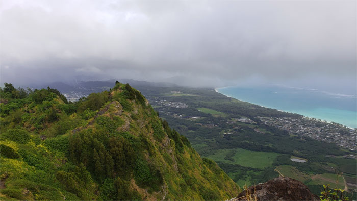
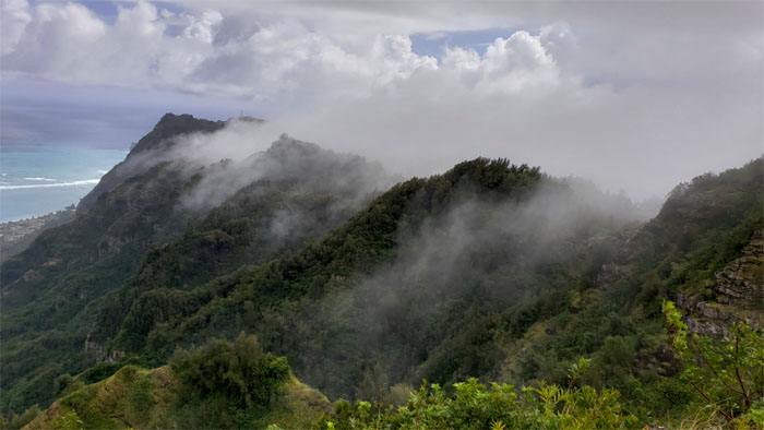
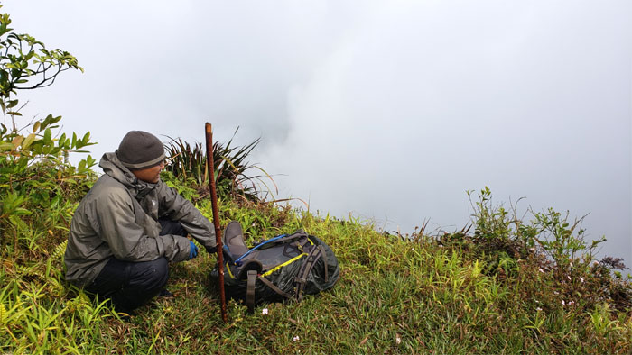
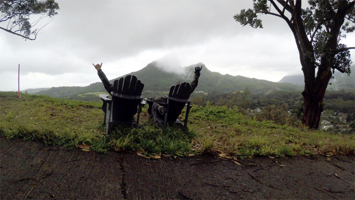
Watching the clouds slowly swirl and drift over the Ko’olau Mountains.
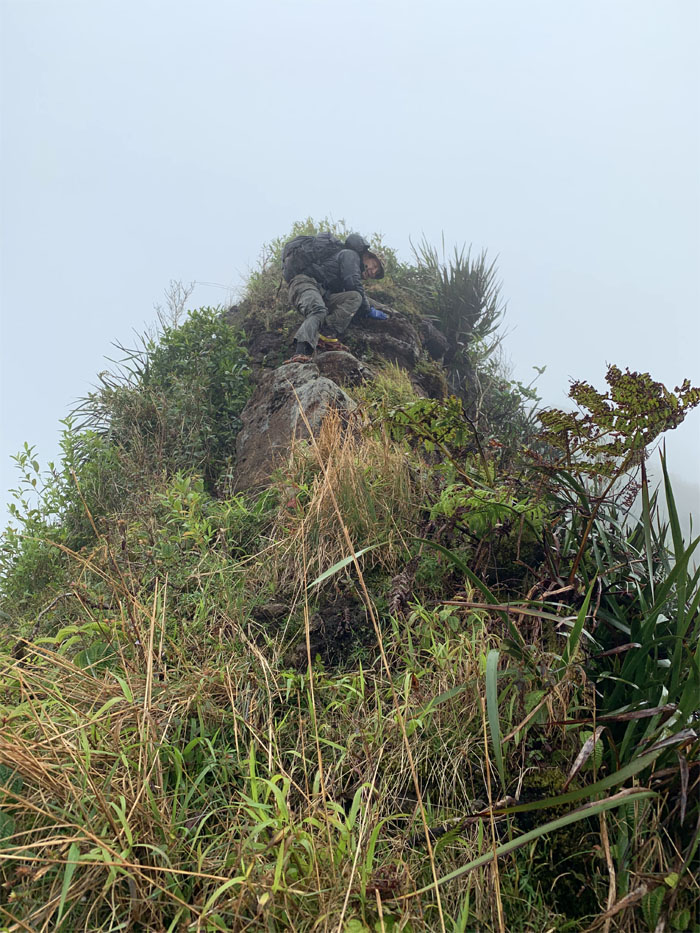
Pushing onto the triangular rock that becomes more defined depending on your point of view.
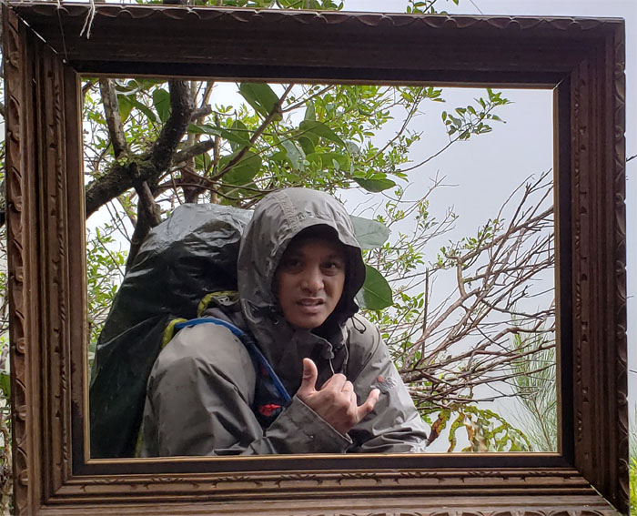
Worth a thousand words?
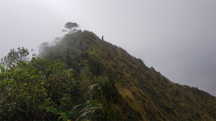
Making our way to the strangely silent eroded hill.
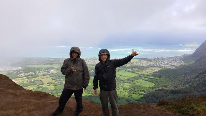
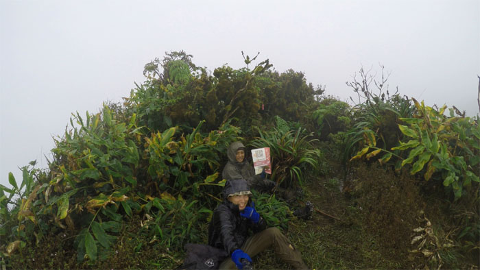
Patience has its virtue. We were rewarded with a couple hikers that eventually joined us at the top and were kind enough to take our picture.
Leaving the 2,200′ flat topped summit empty handed. No stellar Windward views today.
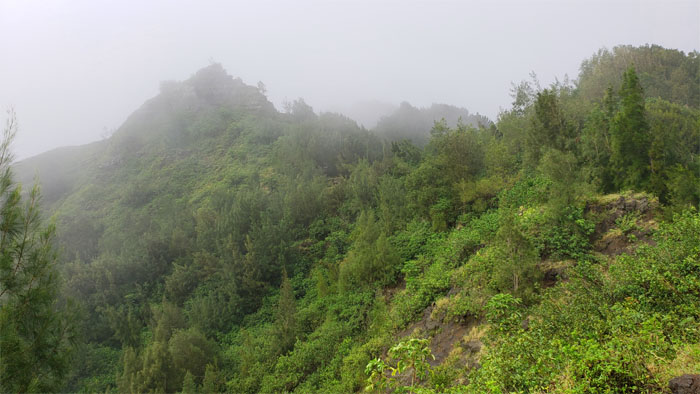
Making our way to the wet and windy 2,520′ knob of Hawaii Loa. Continuing the pattern of no views.
We spotted a solitary figure bearing gifts.
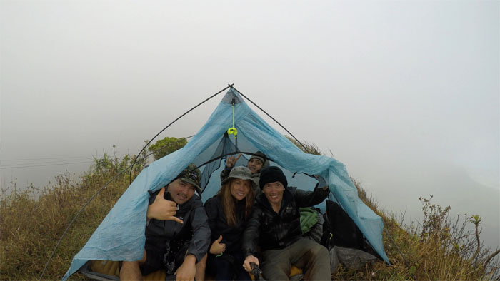
Four is company. Thanks to Ani and Cisco for bringing us food and water to our windy spot for the night.
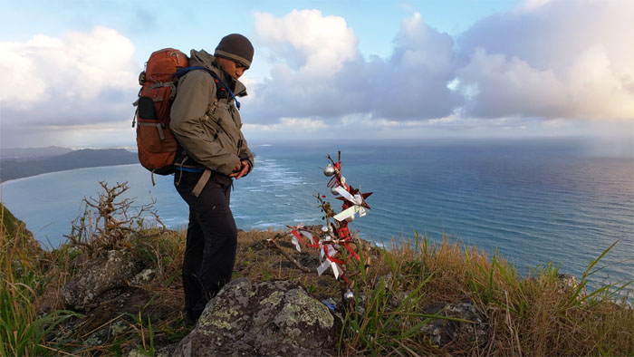
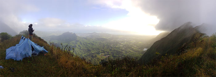
Catching the breaking sunrise the next morning. Was this going to be a positive omen for our hike? Fat chance.
Making our way down the roped trail towards the power lines that straddle the valleys.
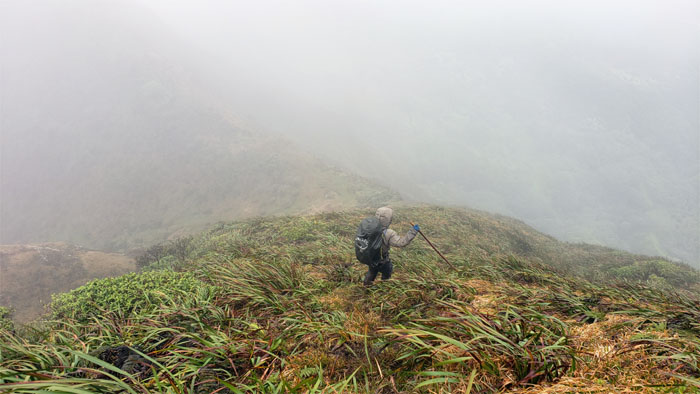
Dropping down the steep hill from the summit of Pu’u Kainawa’aunui.
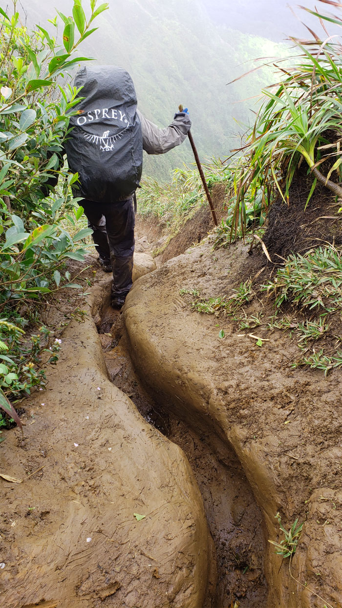
Rutting our way on the trail. Eat your heart out MMR!
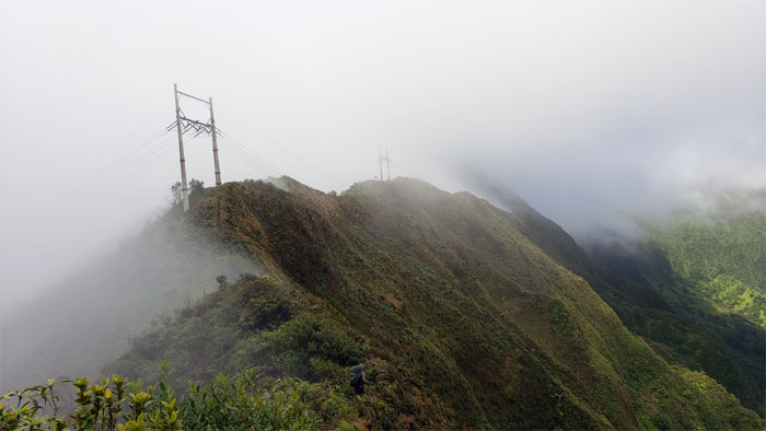
Approaching the twin power lines that mark one of three tuff cones on the island.
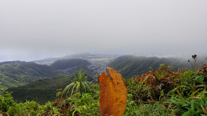
Enjoying the tasty pork jerky on the trail at one of the few views we got on the hike.
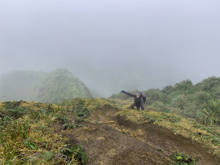
Climbing up to the denuded summit of Awaawaloa. Photo by Chris Bautista.
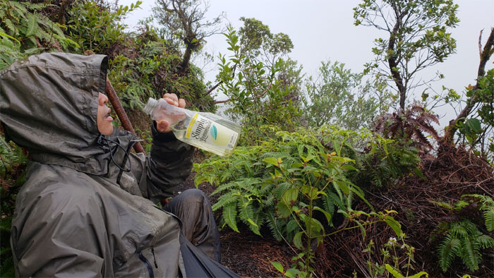
The only question we had was it to slake the thirst of a hungry human or a machine?
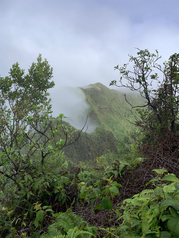
Cloudy views from the contour trail before we rejoined the ridge line. Photo by Chris Bautista.
We both prayed for the sun to come out and play. Nobody was listening.
Hitting the hills.
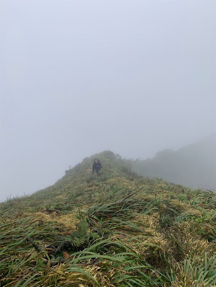
The last push up to K2, where we were greeted with more rain. Photo by Chris Bautista.
Decisions. Decisions. Decisions. Weather patterns and bad feelings overrode the original plan to descend down to the Pali Lookout.
Making our way down the relatively easier Windward ridge.
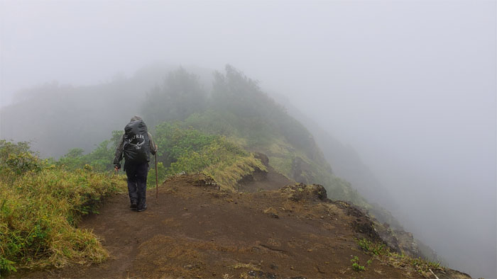
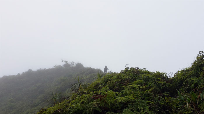
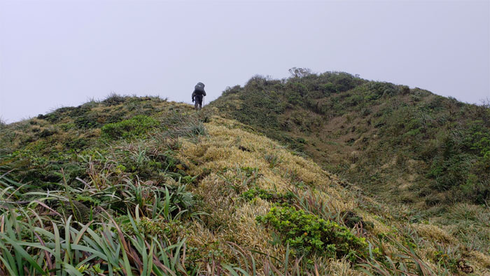
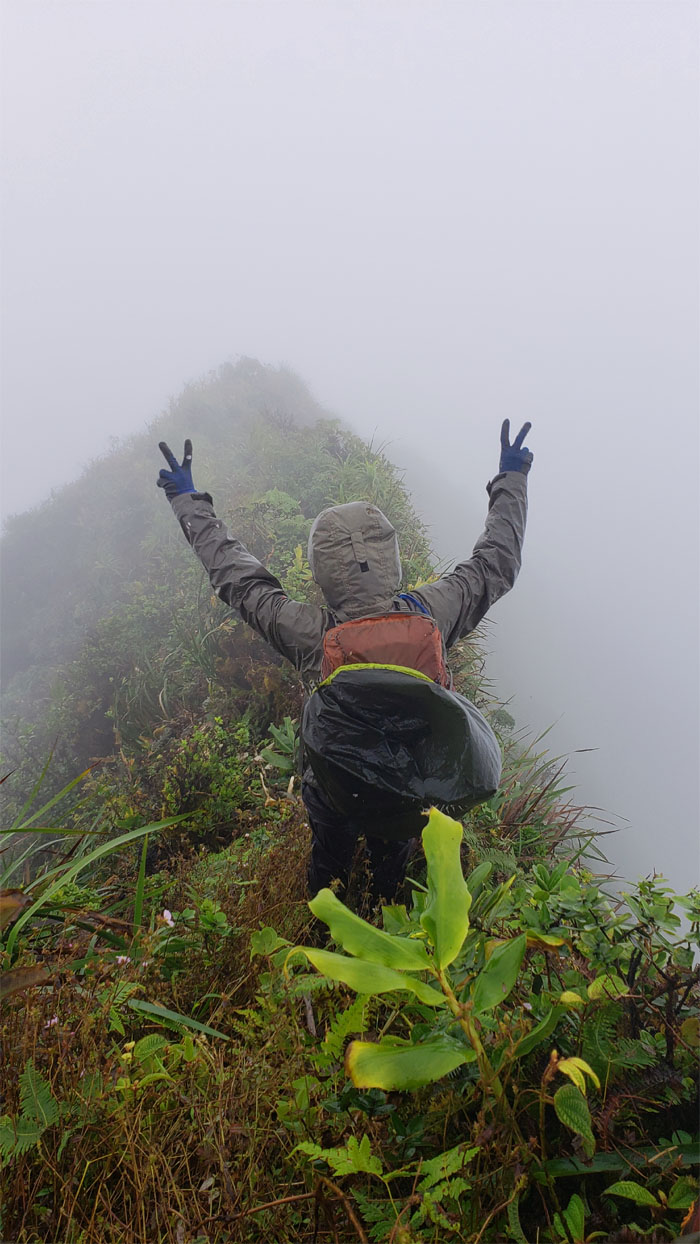
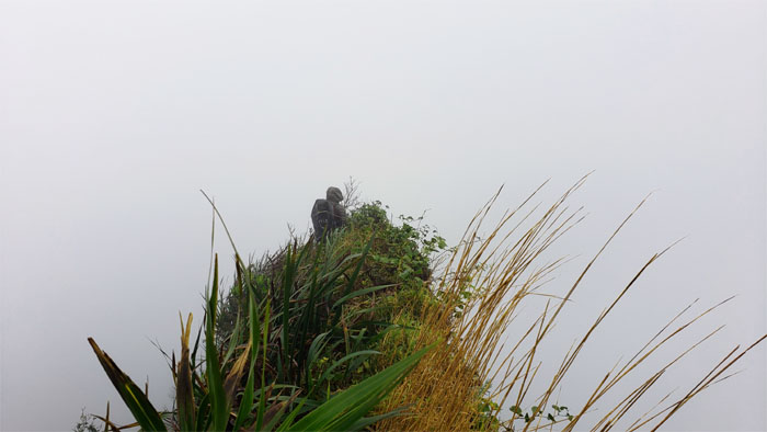
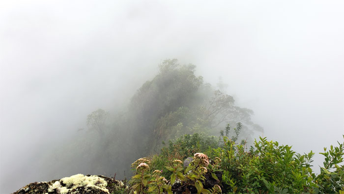
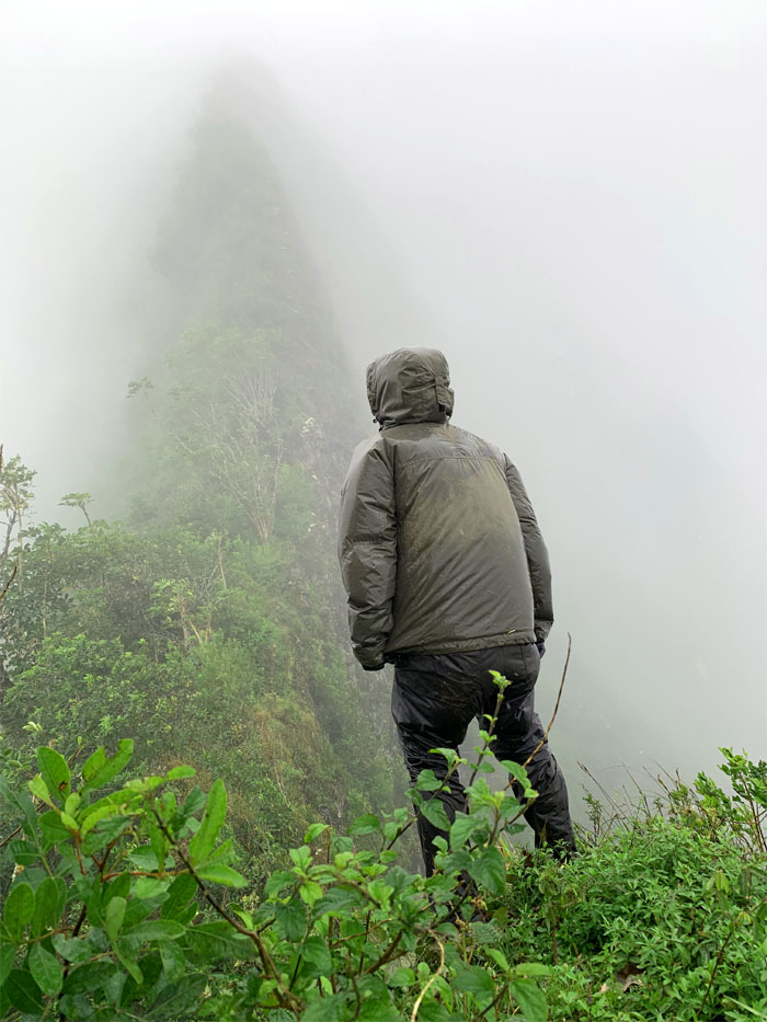
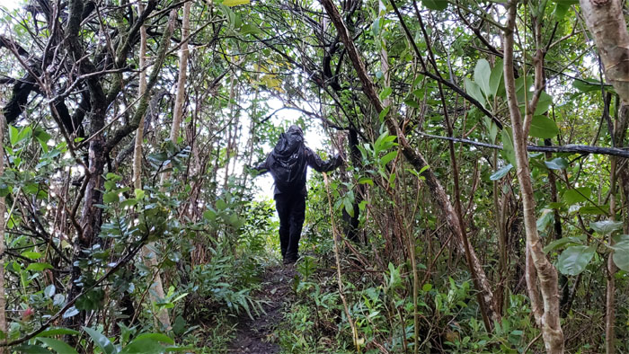
Hiking into the void.
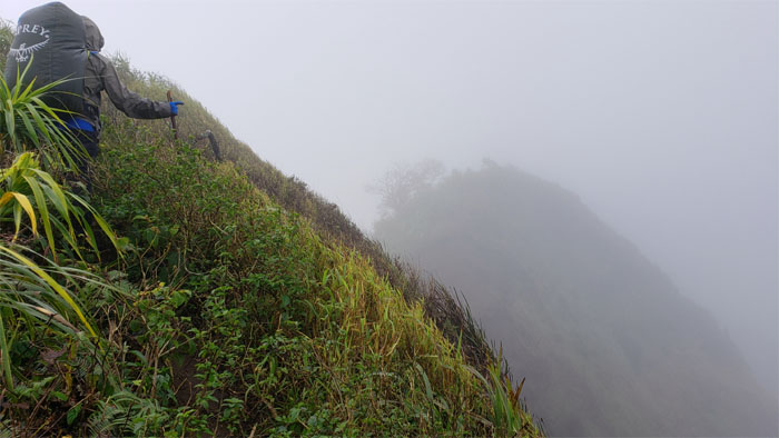
Webbing in all the wrong places. Photo by Chris Bautista.
Dropping down to the incision in the ridge line that marked the end of the steep descent.
Chris looking back at our slippery slide down.
We made it down the whole ridge without seeing any of those infamous bees, guess it was too wet and windy for them. Photo by Chris Bautista.
Popping out of the trail before passing the power lines on our way out.
The end of the road for us as Chris changed into his dry clothes and I remained in my wet clothes, for lack of dry clothes. Mahalo to Lopaka for picking us up and giving me a ride in the bed of his truck, while Chris got to ride in the cab due to his slightly less offensive odors.
Our 13.5 mile hike in wintry (for Hawaii) conditions ended prematurely, but grateful for the good company. Post hike meal at Ferlino’s house where we enjoyed multiple servings of Anne’s ono oxtail soup. Thanks to Jasmin and Mia for rounding out the eating crew. Pile on that extra cilantro and green onions!
Note: I have been made aware that some hikers have been using my blog as a hiking guide and getting lost on the trails. Please note that this blog was made to document the hike for the crew(s) that did it. That is why some of my comments will seem to have no relevance or meaning to anybody outside of the crew(s) that hiked that trail. My blog was never meant as a hiking guide, so please do not treat it as such. If you find inspiration and entertainment from these hikes, that is more than enough. If you plan on replicating these hikes, do so in the knowledge that you should do your own research accordingly as trail conditions, access, legalities and so forth are constantly in flux. What was current today is most likely yesterdays news. Please be prepared to accept any risks and responsibilities on your own as you should know your own limitations, experience and abilities before you even set foot on a trail, as even the “simplest” or “easiest” of trails can present potential pitfalls for even the most “experienced” hikers.


{ 4 comments… read them below or add one }
I’d like to do the first day’s hike next time! 2nd day not so much! ???? glad you enjoyed the hike despite it being cut short. ????
Aloha Robin,
Really? The 2nd day is the best! Sure next time you cross the pond, we can do this hike.
Mahalo
Dang! You guys are incredible!
Aloha Craig,
Thanks, its the views that are incredible. If you want to tag along one day, lmk.
Mahalo