
Lack of time, weather and geographical distance dictated that I abandoned my goal to hike a technically challenging hike along the lines of Daikeretto and settle for a less challenging trail but closer to where I was staying in Shinjuku. Sometimes, hiking is just making those difficult choices in life.
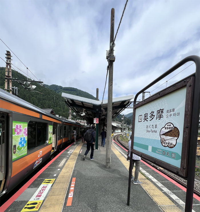
Oku-Tama Station
I got up early and caught the 0608 train out of Shinjuku station where I made two transfers before the train ended in the largest municipality in Tokyo at 0805.
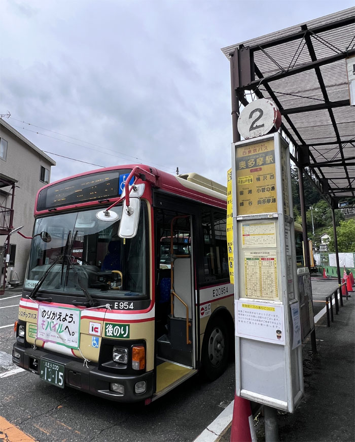
Bus Stop #2
The bus for Miyama had just departed mere minutes before I got off the train, so I had to wait until 0855 to catch the next one. In a town whose population numbered less than 5,000, there was not much to do but kill time.
Ogouchi Jinja Bus Stop
There were a lot of fellow hikers on the bus, but I was the only one that stepped off at this particular bus stop at 0921. I guess they had other trails to hike.
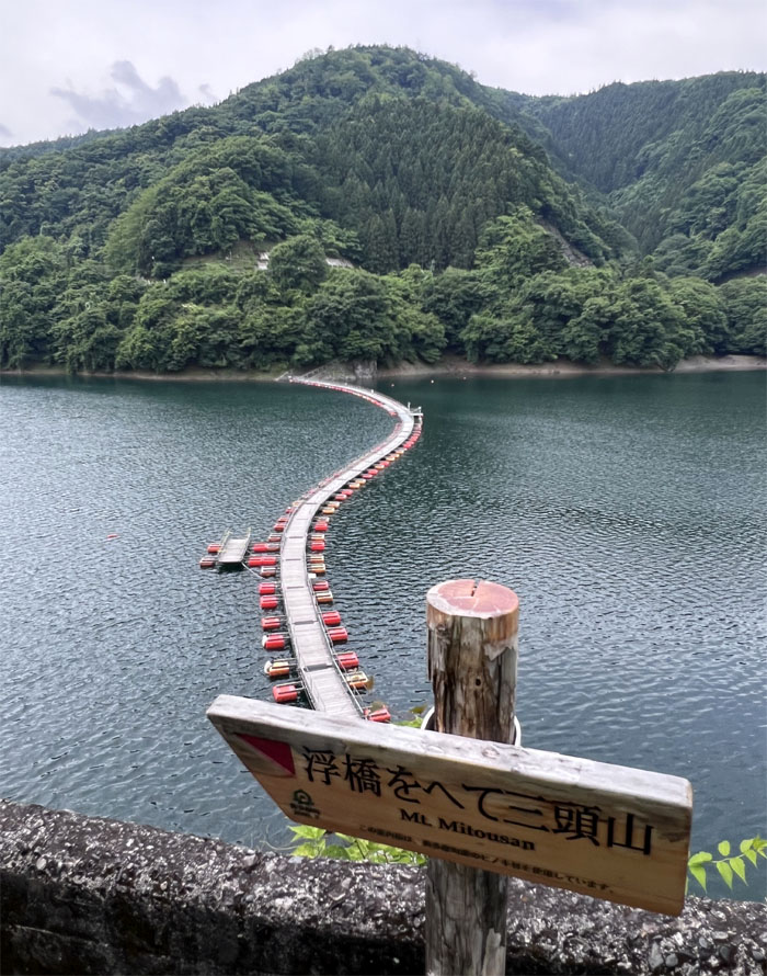
Lake Okutama Floating Bridge
I had read somewhere that they close the bridge sometimes due to declining water levels in the man-made reservoir that supplies 20% of the drinking water for Tokyo. Luckily, the bridge was quite buoyant today.

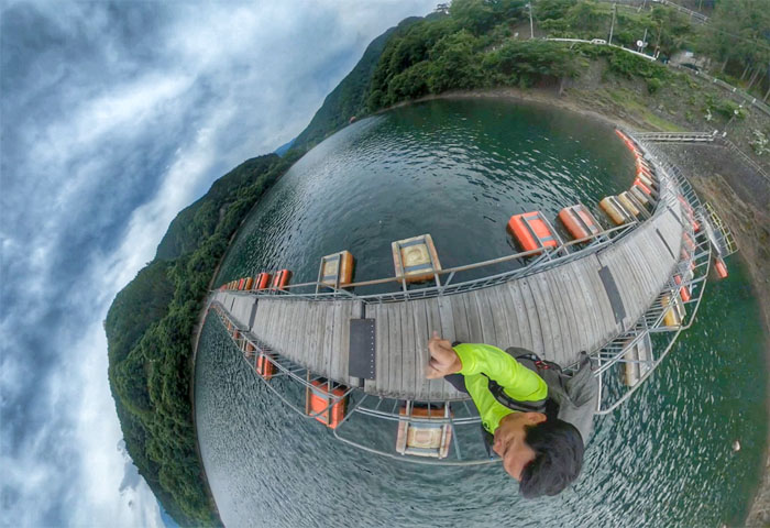
Lake Okutama Floating Bridge
The view from the other side of the bridge that is known officially as Mugiyama or Drum Bridge due to the drum shaped resin used to construct the pedestrian walkway.
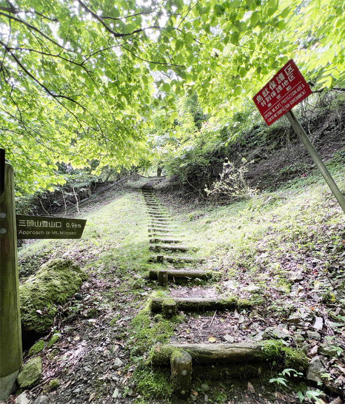
Approach to Mito-san
I switched from my sea legs to land legs and made the short climb up to the road above me.

Okutama Circular Road
Sharing the road with motorists that drive on the left side, a tradition that dates back to the time when samurai walked the narrow streets and kept to the left so as to avoid bumping swords with other bushido warriors turned merchants.
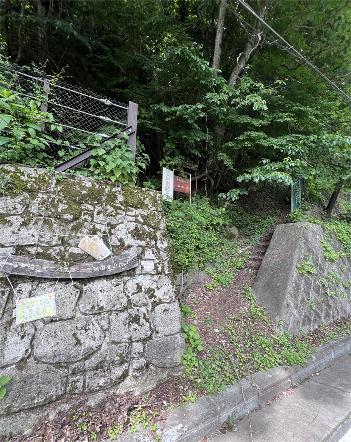
Trailhead
Blink and you’ll miss it. Which I did. I had to backtrack a bit to cross the road to enter the opening in the retaining wall.
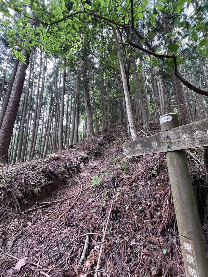
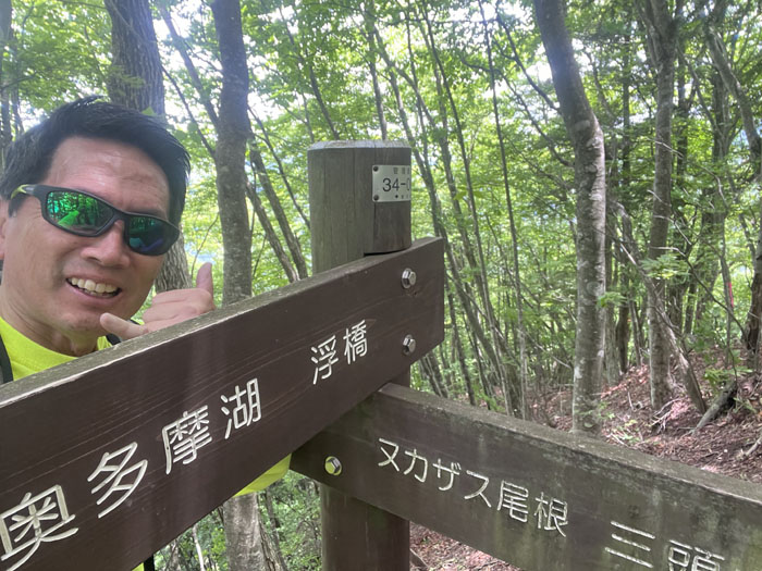
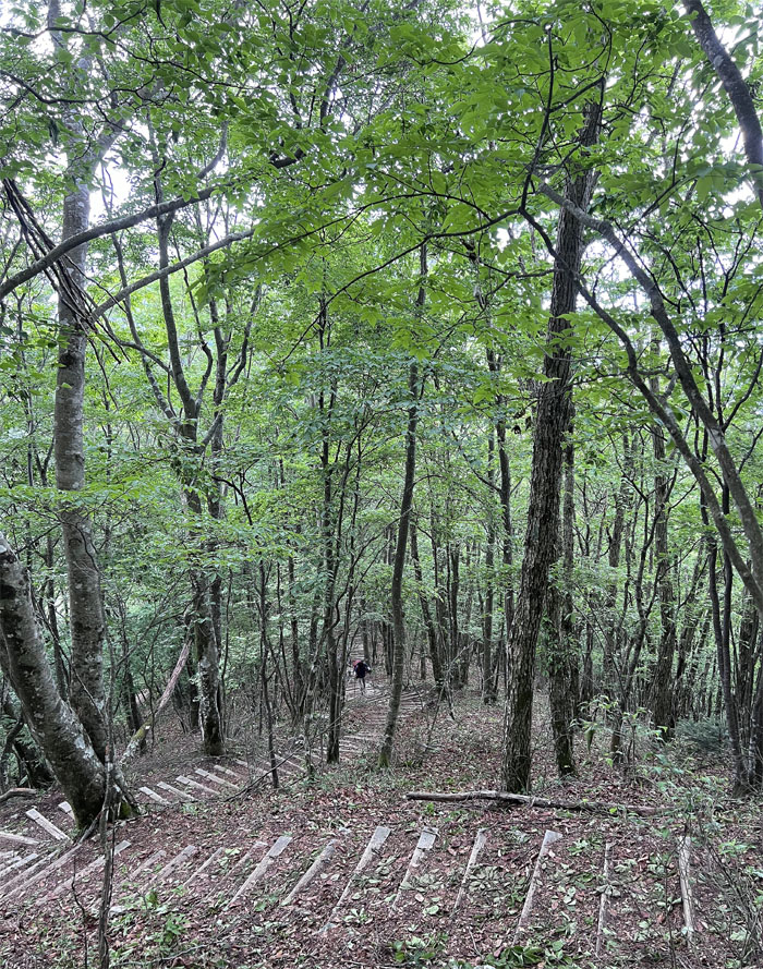
Nukazasu Ridge
Right off the bat, it was up, up and away. I was just missing the cape.
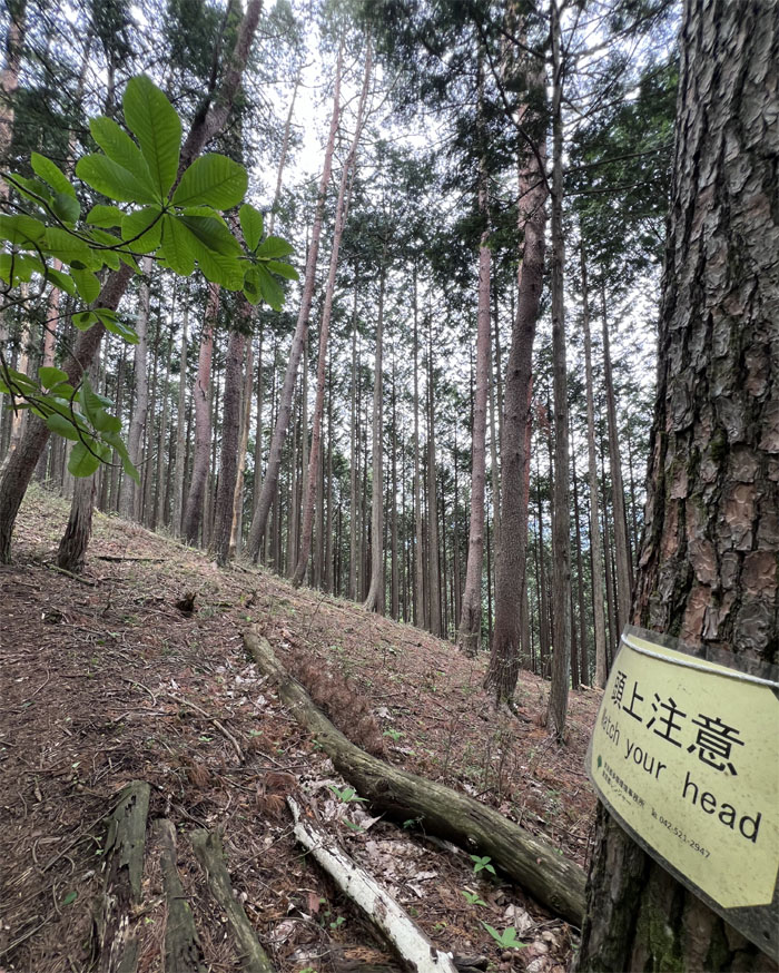
Nukazasu Ridge
One of the few signs in English. What am I watching for? Falling coconuts?
Nukazasu Ridge
Mount Mito was forbidden for commoners to enter during the Edo period of 1603 to 1868, which allowed the forest to flourish untouched.
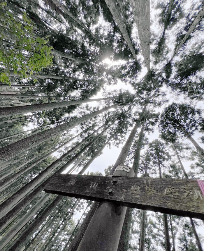
Mount Iyo
I reached my first summit at an elevation of 979 meters or 3,211′ at 1025. Not much of a view. Time to press on.

Nukuzasu Ridge
Reports of bear sightings had me picking up a stick, like a lot of good that would have done me but it helped going up the steep rooted trail. And talking loudly to myself since I was alone on the trail and didn’t have those ineffective bear bells hanging off my pack.
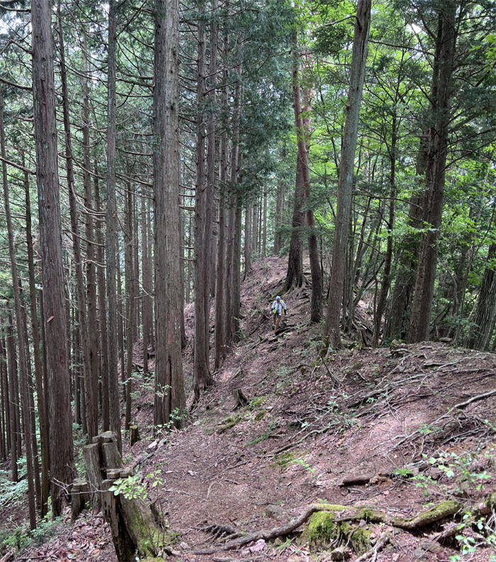
Nukuzasu Ridge
My first live sighting other than a bear. I can stop talking loudly to myself now.
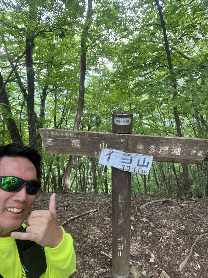
Mount Nukuzasu
I missed the summit sign, but I was pretty close to the 3,855′ peak. So I took a pic with these marker signs at 1113 instead.
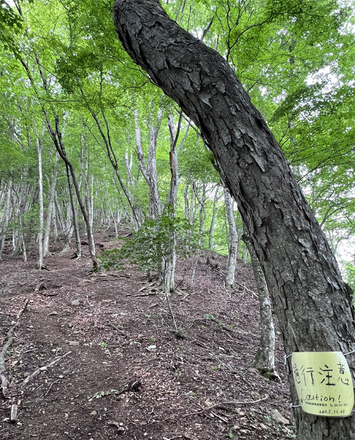
Nukuzasu Ridge
What am I to be cautious about? Bears? Hikers? Japanese Giant Hornets? Godzilla?

Nukuzasu Ridge
Passing one of several scattered ropes on the trail as it got progressively steeper.
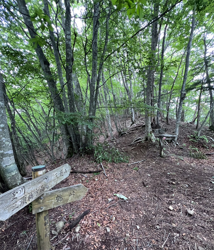
Mito Trail
I passed a descending hiker who told me that the summit was less than 15 minutes away.
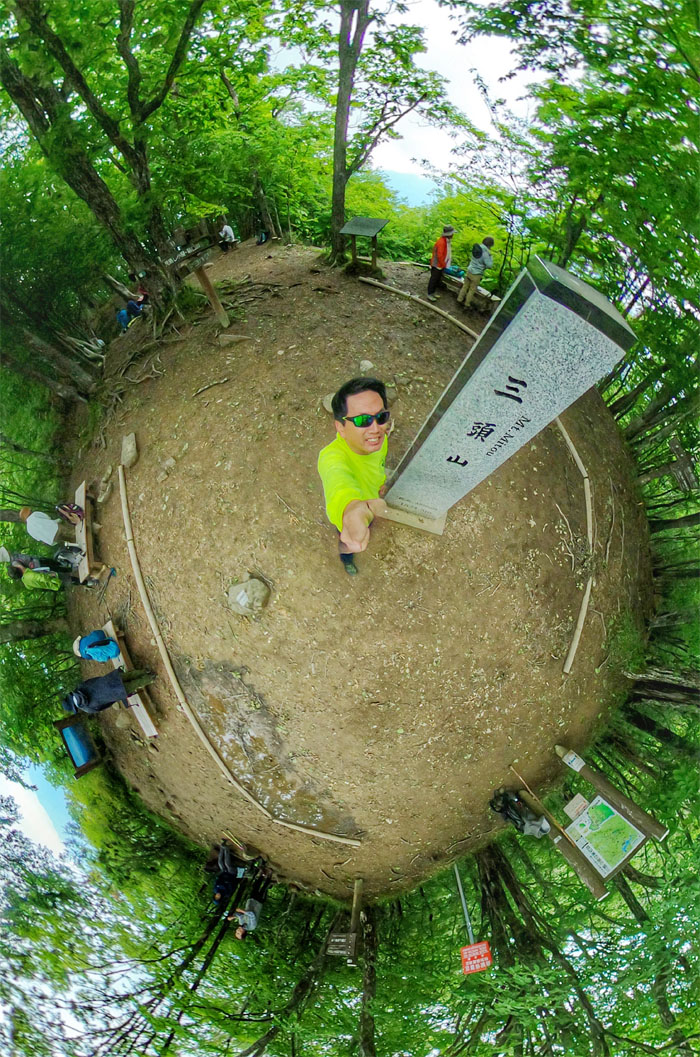
Mount Mito
Made it to the 5,023′ West peak at 1215, that was bustling with other hikers having their lunch. Mount Mito is one of three famous mountains in the Okutama region, the other two being Gozenyama and Mount Odake. I didn’t get a chance to visit the Central and East peaks of Mito-san.
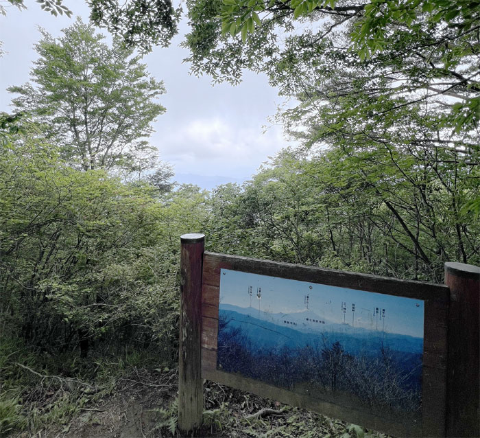
Mount Mito
On a good day, you can see views of Mount Fuji. Today was not a good day.

Buna Trail
I departed the summit at 1227 after eating a snack washed down with Pocari Sweat. Sweat to replace sweat.
Buna Trail
Going down the stairs covered with fallen leaves.
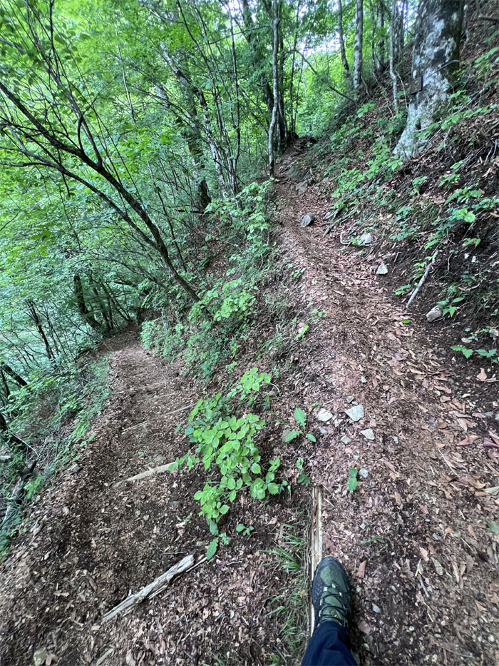
Buna Trail
Switch backing my way down the mountain.
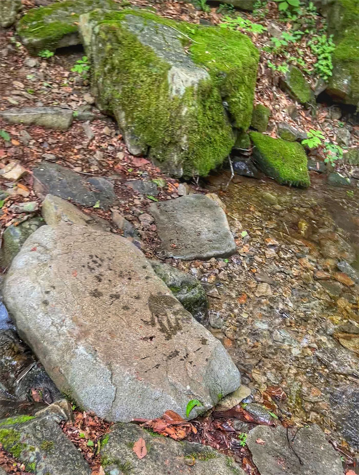
Buna Trail
The trail soon intersected with numerous streams flowing down the mountain. I swore I saw some type of furry creature ahead of me and then I looked down and saw a wet paw print on the rocks. Time to start talking loudly.
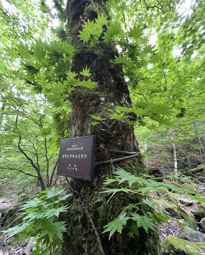
Buna Trail
Passing one of many trees that were marked with identifying signs. This particular one being the golden full moon maple that turns different shades of color with the seasons.
Buna Trail
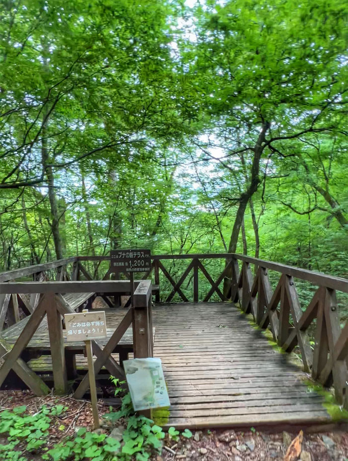
Briefly stopped at this open terrace that was enveloped by the tree canopy and surrounded by rippling streams. Further back was the trail that lead to the Mitosan Refuge Hut which I chose not to check out. Guess I was in the more direct mode today.

Buna Trail
Followed the trail as it crossed and bordered the stream on the way down.

Buna Trail
Going over a short bridge that spanned over the running stream.
Buna Trail
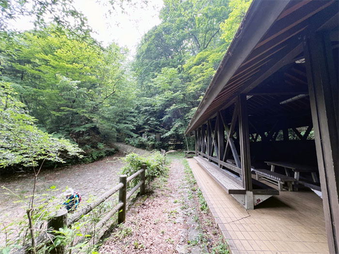
Stopped briefly at this open air shelter that had toilets and a group of nature watchers checking out something on the nearby hill.
Buna Trail
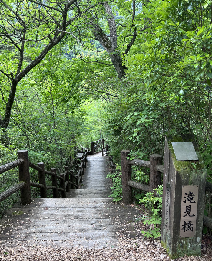
I unknowingly bypassed this bridge that apparently leads to a suspension bridge that overlooks the 100′ high Mito Otaki Falls.

Therapy Road
Wood chips covered this stretch of the trail, encouraging people to go barefoot and get in touch with nature.
Buna Trail
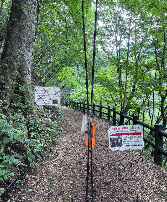
Passing through a magnetic fence meant to keep out the deer’s that are threatening to denude the area of plant life which in turn will lead to erosion of the area leading to landslides and collapse of the trail system. It is said that one adult deer can eat up to 11 pounds of grass and plants daily.

Buna Trail
I briefly checked out the vacant forest centre and made my way down the steps.
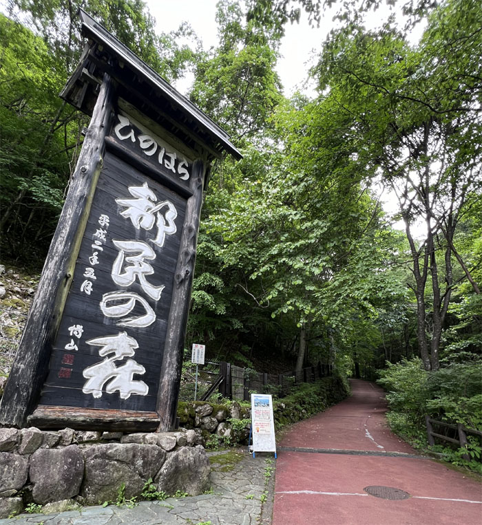
Hinohara Tokyo Citizens’ Forest
Exited the trail at 1353 into the car park and found out that I had to wait until 1430 to catch the bus. I sat on a bench and finished the rest of my snacks and now room temperature drink while waiting for the bus.
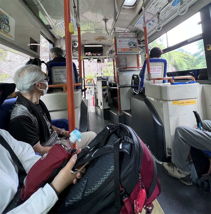
Bus
Got on the bus that took us directly to the Kazuma Bus Stop where we transferred to another bus that would take us to the train station after making multiple stops in the city on its way down the road.
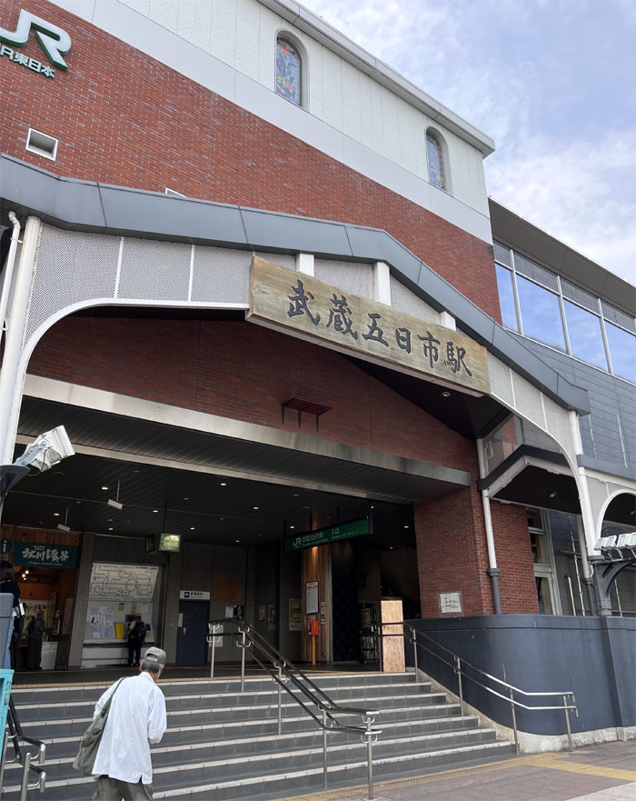
Musashi-Itsukaichi Station
Got off at the bus at 1553 and waited for the 1606 train that would take me directly back to the busiest railway station in the world.
All pau
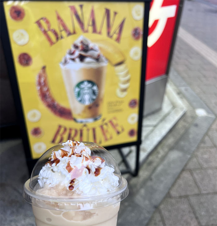
I got off in the sea of humanity called Shinjuku Station at 1717 and treated myself to the seasonal Frappuccino flavor offered only in Japan Starbucks.

GPS Tracks
My solo hike covered a little over 6.3 miles from end to end that took me 4 hours and 24 minutes to complete. My travel time exceeded my hiking time. This hike has been described as a gem of a hike in the Tokyo area that sees few hikers. I completely agree with that statement. I only wish Mount Fuji was available for my viewing pleasure.
Note: I have been made aware that some hikers have been using my blog as a hiking guide and getting lost on the trails. Please note that this blog was made to document the hike for the crew(s) that did it. That is why some of my comments will seem to have no relevance or meaning to anybody outside of the crew(s) that hiked that trail. My blog was never meant as a hiking guide, so please do not treat it as such. If you find inspiration and entertainment from these hikes, that is more than enough. If you plan on replicating these hikes, do so in the knowledge that you should do your own research accordingly as trail conditions, access, legalities and so forth are constantly in flux. What was current today is most likely yesterdays news. Please be prepared to accept any risks and responsibilities on your own as you should know your own limitations, experience and abilities before you even set foot on a trail, as even the “simplest” or “easiest” of trails can present potential pitfalls for even the most “experienced” hikers. One should also always let somebody know of your hiking plans in case something doesn’t go as planned, better safe than sorry.
{ 2 comments… read them below or add one }
Wow! Solo hike! You must be bored all alone lol.. jk
Did you see the bear/bears!? I’d freak out seeing those bear paw prints lol
Aloha Tessa,
I thought I saw the bear ahead of me and that’s when I started talking loudly. To myself. lol.
Mahalo