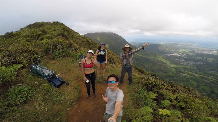
Back to the mountains for another camping weekend. Met up with Ethan, Shirley and Yoly in Upper Manoa.
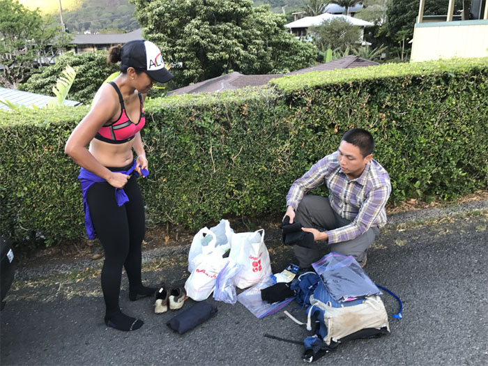
Ethan providing curbside assistance in the form of packing. No shoelace tying offered.
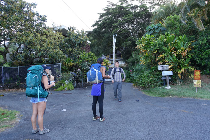
Let’s keep the noise down for the neighbors. Stay on the trail and watch out for blood thirsty mosquitoes. Let’s hike.
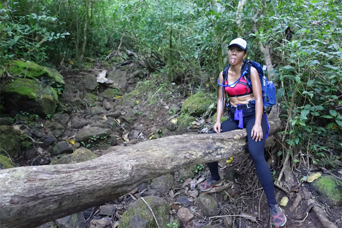
Shirley straddling one of many fallen trees on the trail.
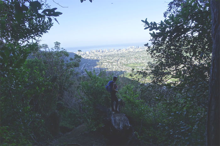
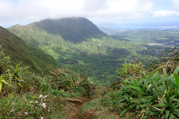
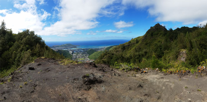
Looking back at the view of Manoa Valley.
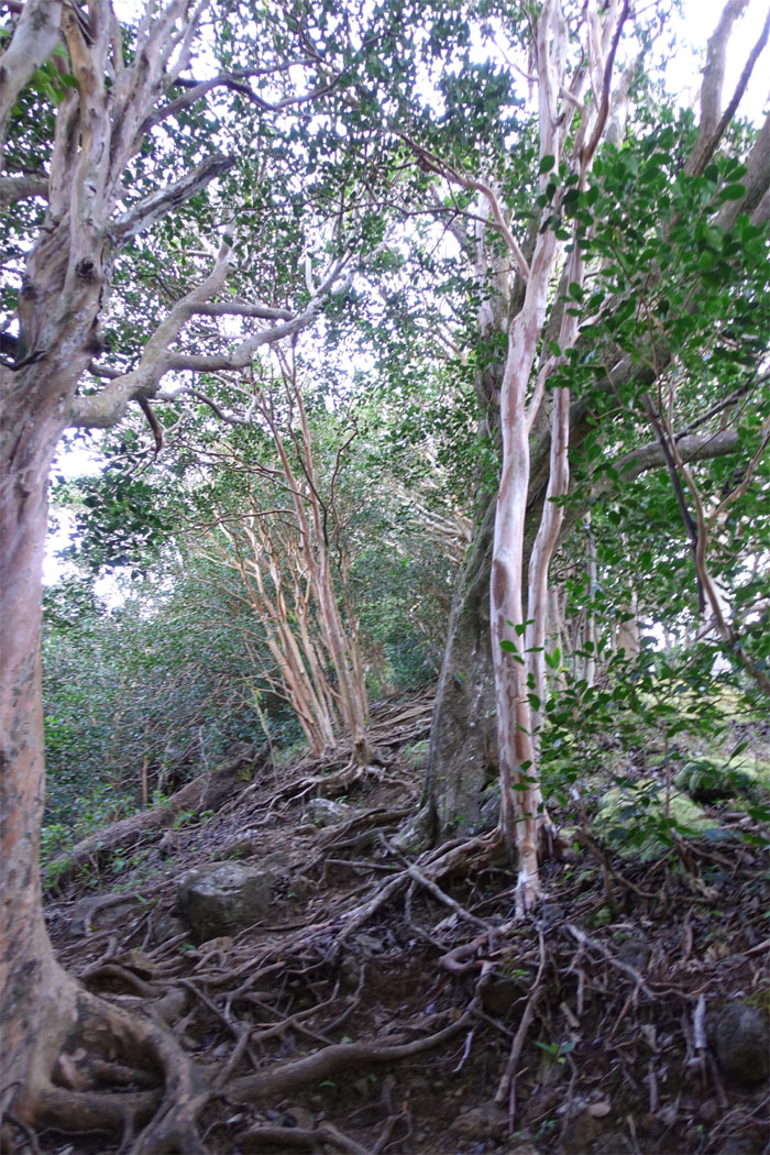
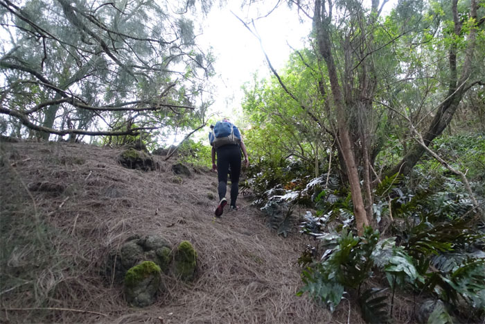
Going up the short, steep and heavily rooted trail.
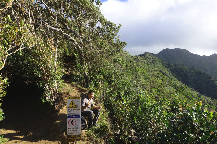
Just asking. Are they ever going to maintain the trail beyond the sign?
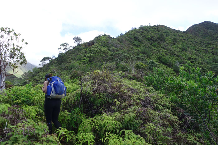
Shirley going through the knee high uluhe ferns. Hiking wouldn’t be the same without them. Strange as that may sound.
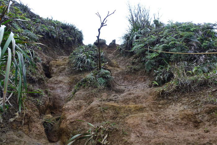
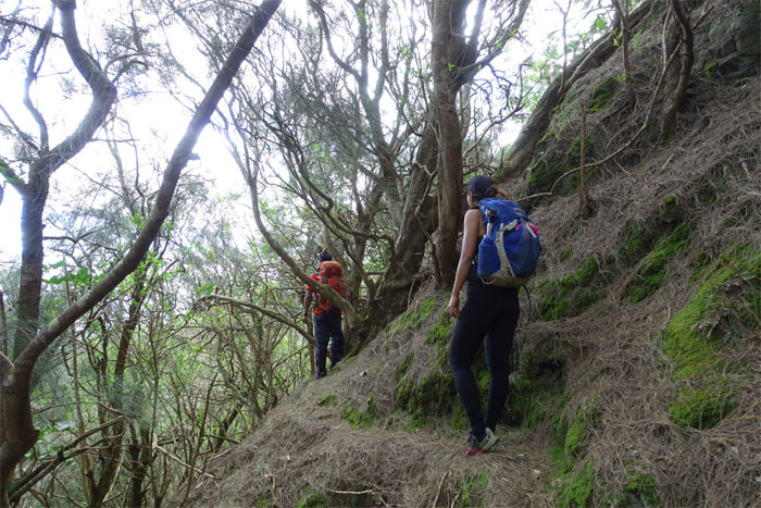
Pushing up the last section of the steep and rutted trail. Glad it wasn’t raining today. Otherwise, it would have been mud city.
Group photo at the 2,486′ summit with Ka’au Crater behind us, left to right: myself, Yoly, Ethan and Shirley.
We briefly chatted with some other hikers and left the summit to drop down onto the trail.
Looking back at the summit more commonly known as Mount Olympus.
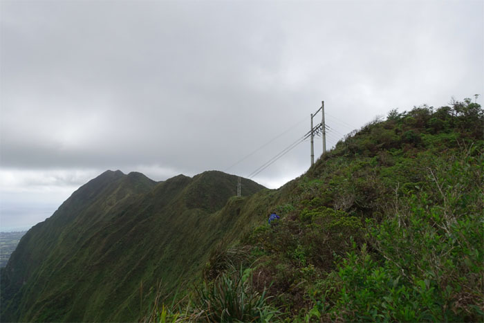
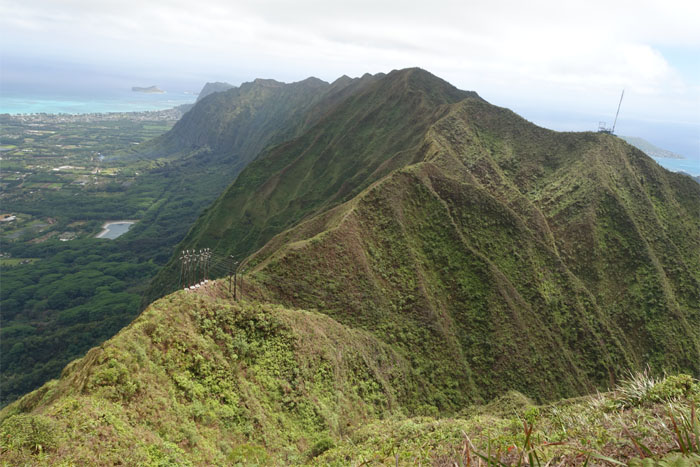
Making our way towards the power lines that tower over one of three tuff cones on the island.
We ran across some European hikers and failed to take a single picture of the crater. I think this spot is the last we saw of Yoly’s Hana Pa’a hat.
Yoly making her way up to the summit where the Mau’umae ridge trail terminates.
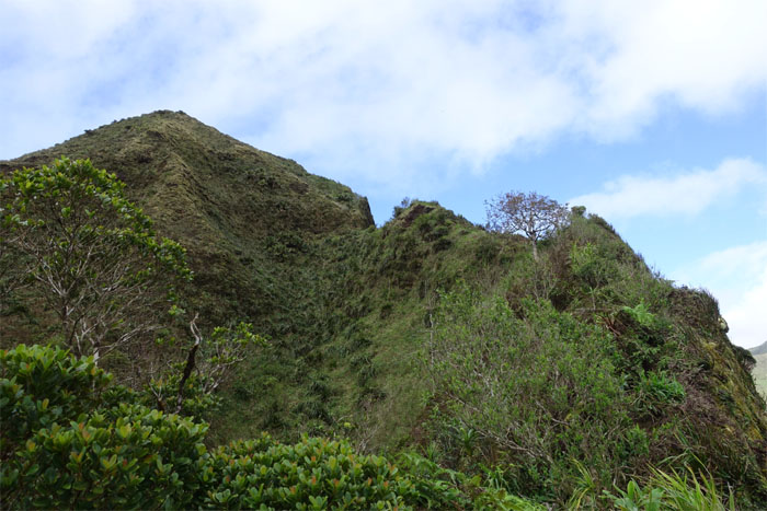
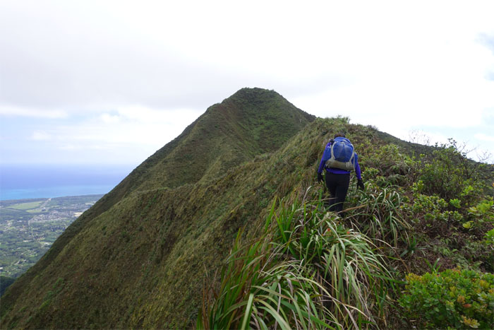
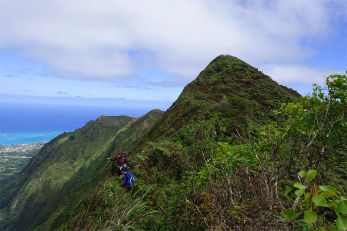
Shirley headed towards the peak of True Lanipo.
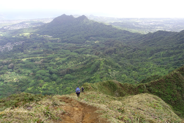
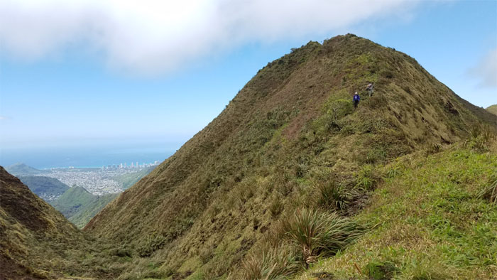
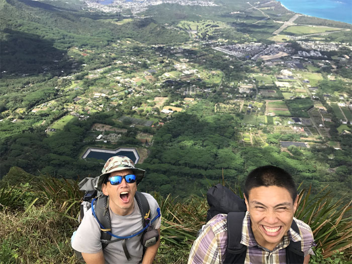
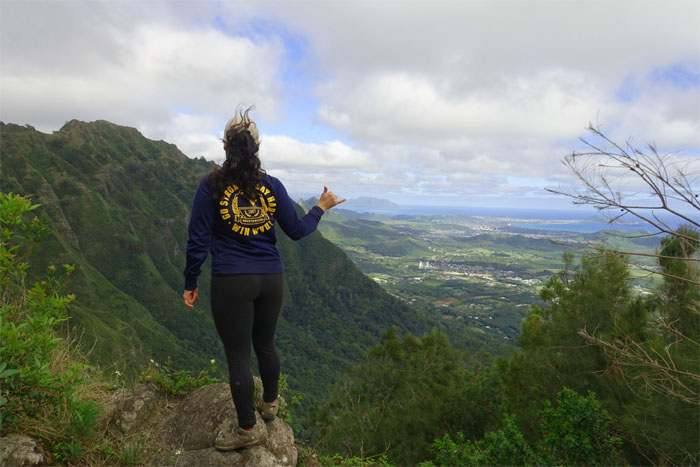
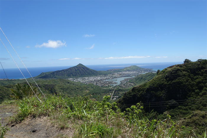
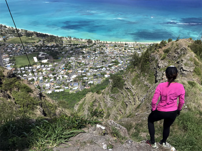
Coming down to a stunning valley view of town. Photo by Ethan Clavecillas.
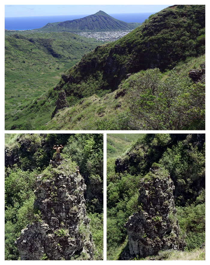
I have a dream. A pipe dream? Photo by Shirley.
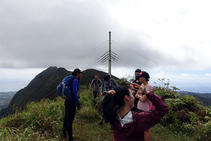
Headed down to the HECO poles that bridge the power divide between Leeward and Windward.
Shirley and Yoly vying to be the next HECO pole replacements.
Enjoying the relatively wide open roped trail while it lasts, courtesy of HECO.
Group photo at the 2,480′ congested summit, left to right: Yoly, Shirley, myself and Ethan.
We left the teeming summit to resume our hike.
Two way traffic on the trail. Who yields first?
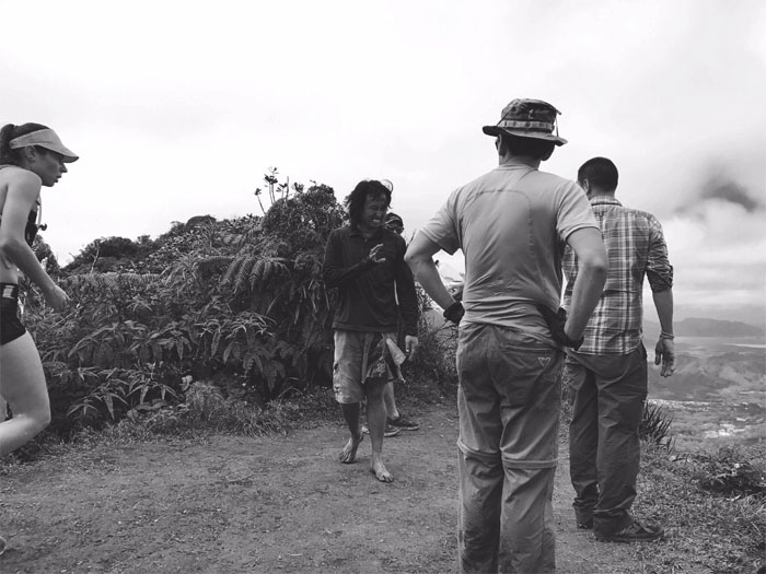
The minimalist hiker, who eschews fancy hiking shoes and gear, has come home to roost. I don’t need your offers of water or food, but thank you. Photo by Yoly Bedford.
Panoramic view from the 2,520′ summit.
Back on the trail.
Can you see the palm tree from 2,480’? Photo by Shirley.
Ethan took his leave of us, as he had a house to watch and left us in a cloud of uluhe ferns and dust.
Shirley dropping down from the summit.
Yoly passing over an eroded section of the trail.
Headed towards our camp site. Or so we thought.
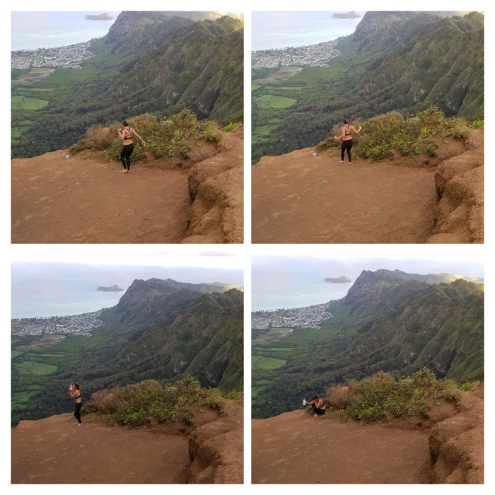
This is not going to work after all. So much for the IG photo shoot. Plan B. Photo by Shirley.
Leaving behind compacted dirt and crushed dreams.
Shirley on the exposed and eroded section of the trail.
Yoly decided that her dwindling water supply necessitated a return down the trail with promises of returning the next day with breakfast service or something close to it. We set up our tents and got ready for cooking when a loud scream cut through the air and a bare footed Shirley ran after her rolling water bottle down the cliff. Something to have experienced in person.
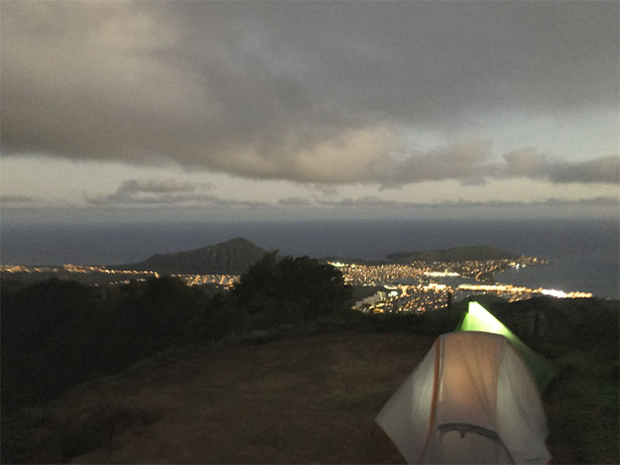
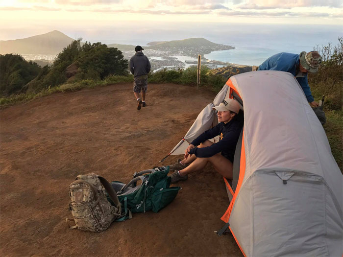
Tucked away in our tents for the windy night. Chris had summited with Ted earlier in the evening to join us at the camp site. Ted shot a couple sunset photos and trotted down the Kuli’ou’ou Trail to go back home. Photo by Shirley.
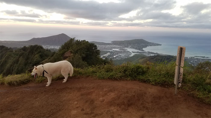
Our first visitor at the summit to greet the sunrise with us.
Squatters in the tent. Oh, it’s Yoly! Photo by Shirley.
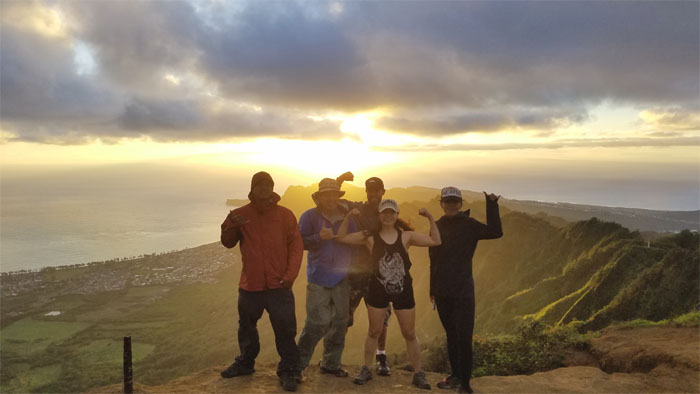
Sunrise group photo at the windy 2,028′ summit, left to right: Chris, myself, Yoly and Shirley.
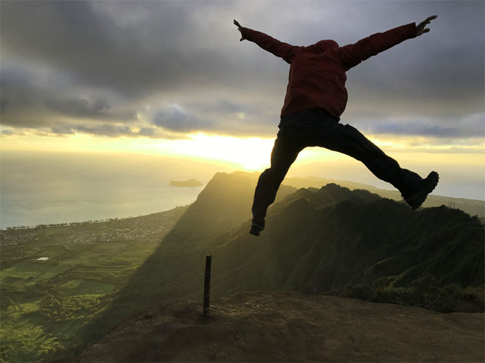
Chris jumping for joy. Photo by Shirley.
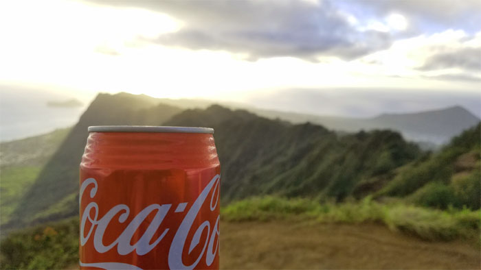
Guess who brought us carbonated beverages for breakfast?
The summit began to slowly fill with hikers as we left the summit.
Looking back as we saw more hikers joining the swelling crowd at the top.
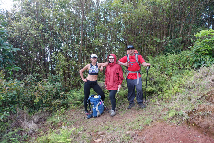
Group photo of a semi-dressed, over dressed and dressed hikers.
Shirley trudging up through a carpet of pine needles.
Yoly at a scenic point.
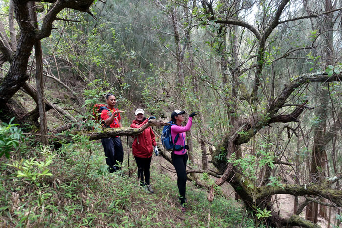
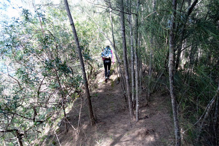
Winding our way through the heavily forested section of the trail.
We broke out of the forest to the exposed section of the trail affording scenic views of the East Valleys.
Making our way to Mariner’s Ridge Summit.
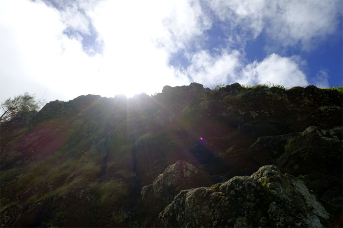
Looking up towards the sunny top.
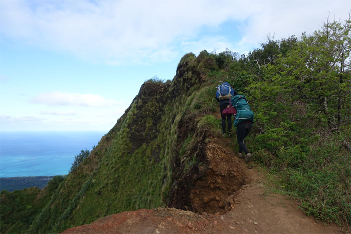
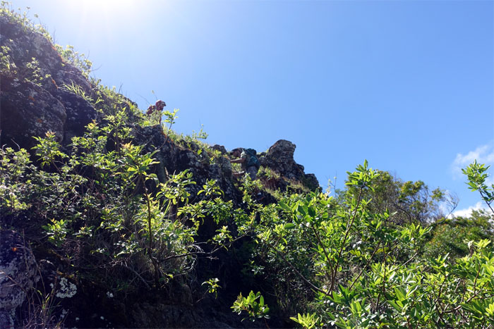
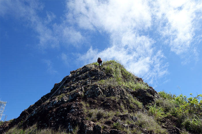
The group making their way up the rocky cliff to the abandoned summit.
Can you see us? Chris and Yoly hiked up to the knob.
Can you see us? We stayed back at the summit. Photo by Yoly Bedford.
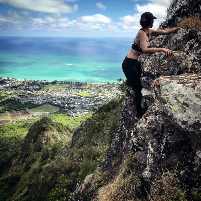
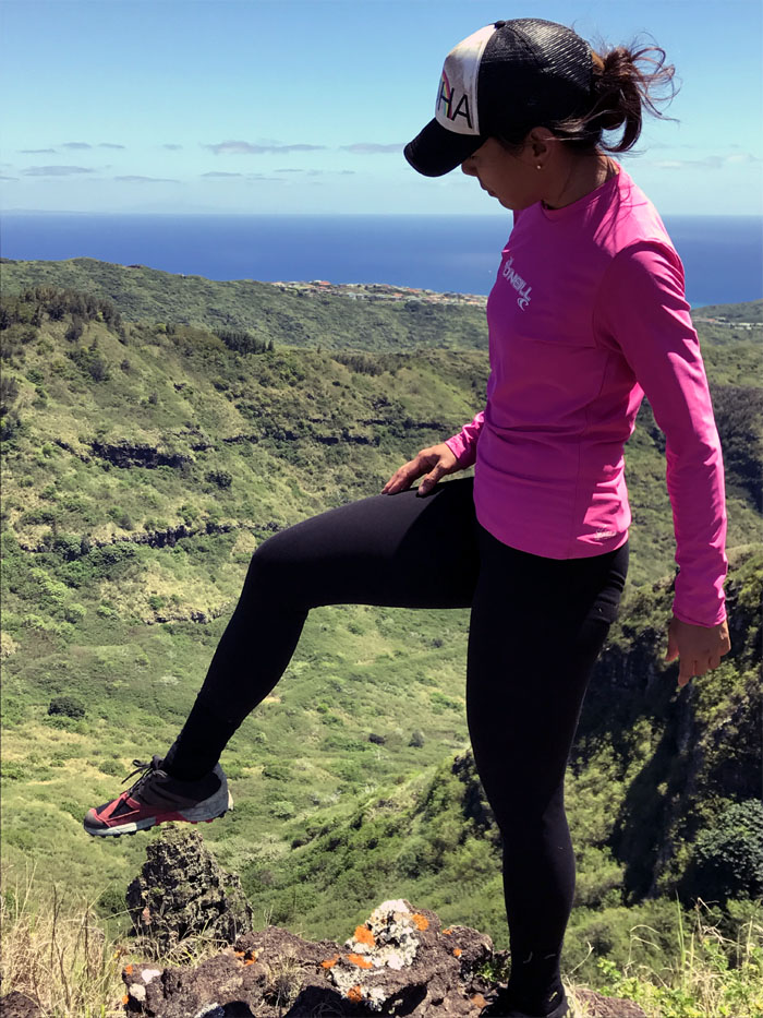
Shirley showing how to climb and pose at the same time.
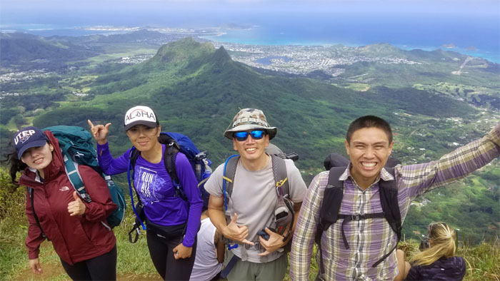
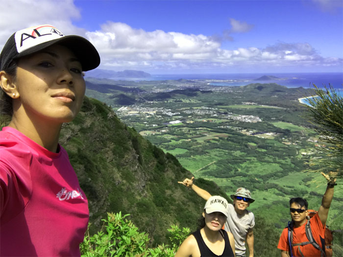
Group photo at the top of Mariner’s Windward Ridge.
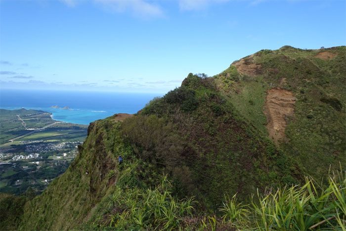
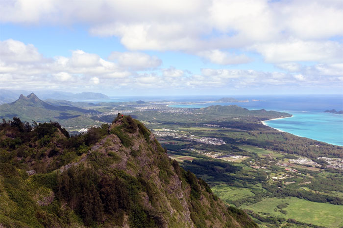
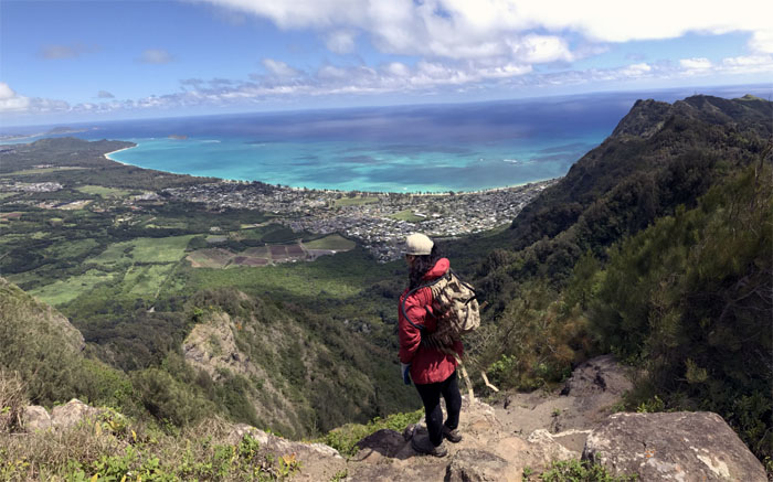
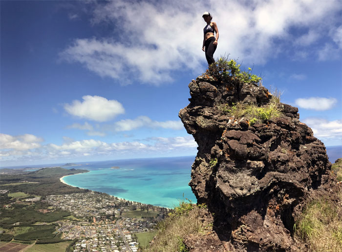
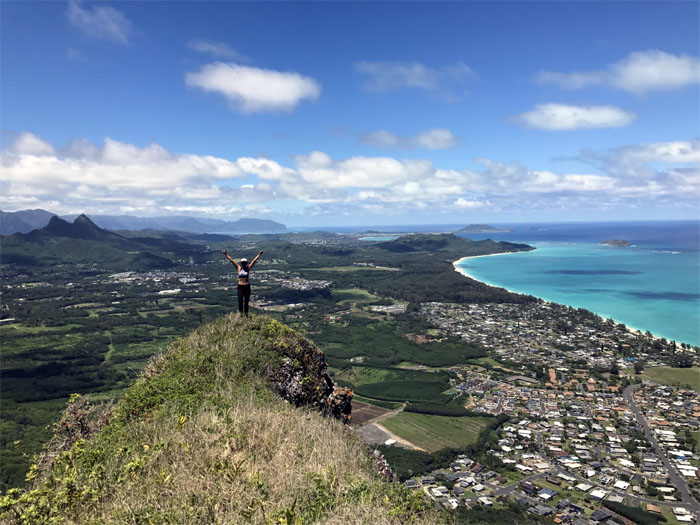
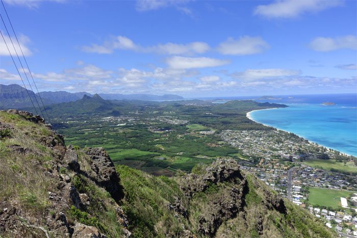
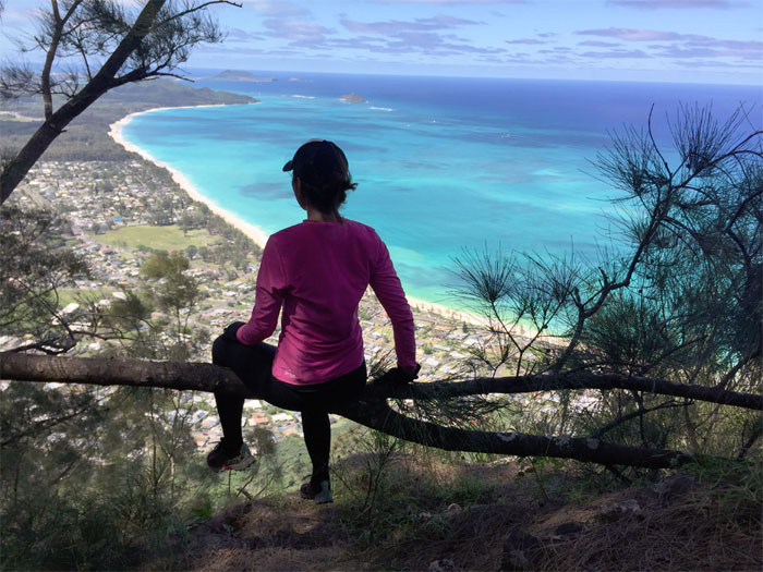
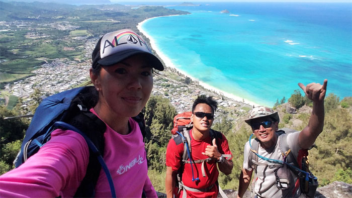
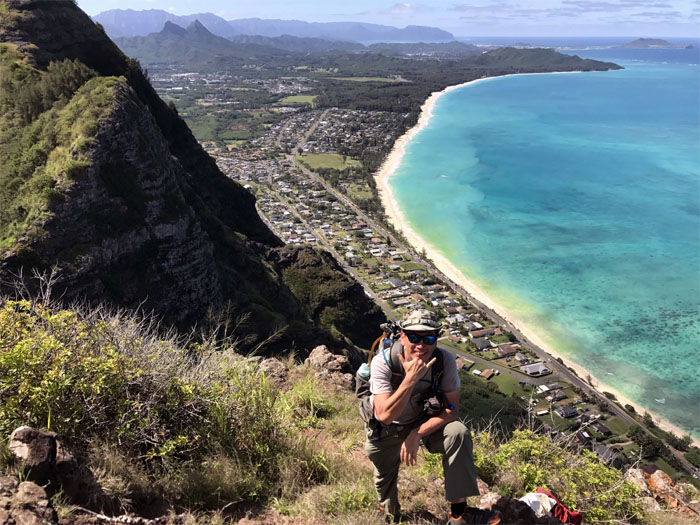
Looking out towards Waimanalo with her white sand beaches and inviting blue green water.
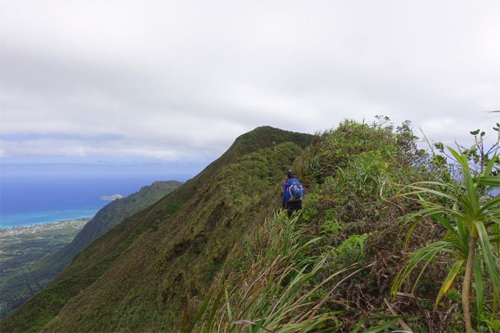
Hike like a snake.
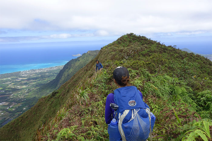
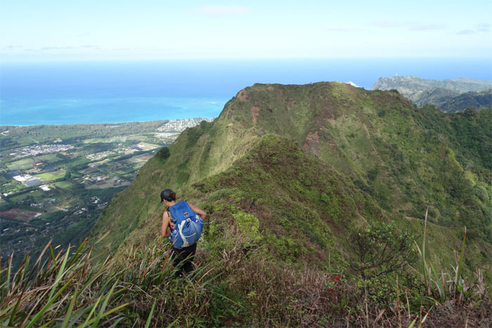
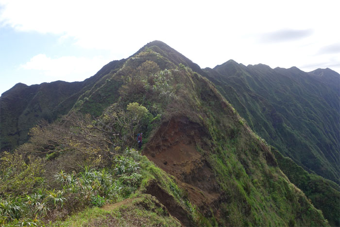
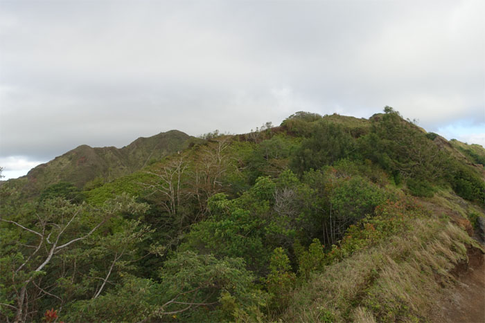
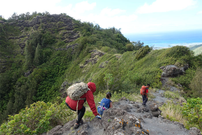
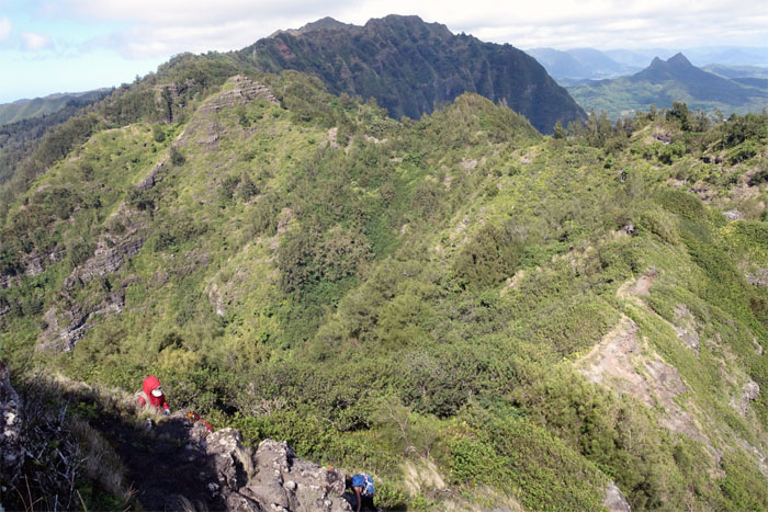
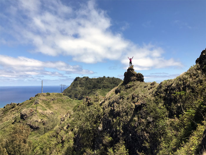
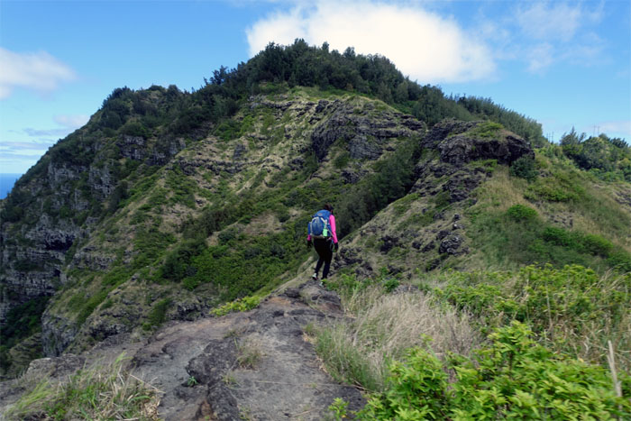
Breaking free of the overgrowth to the open rocky ridge line.
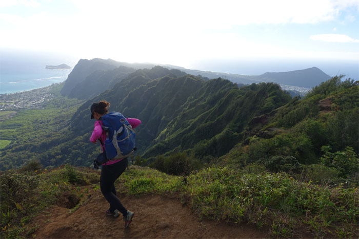
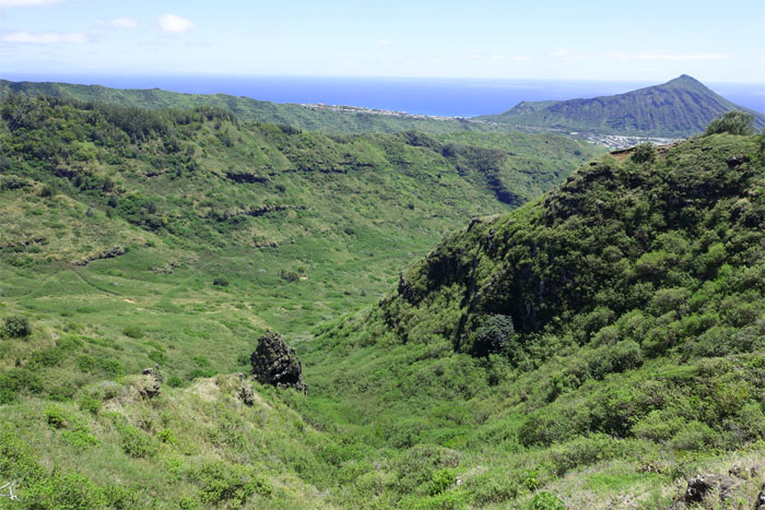
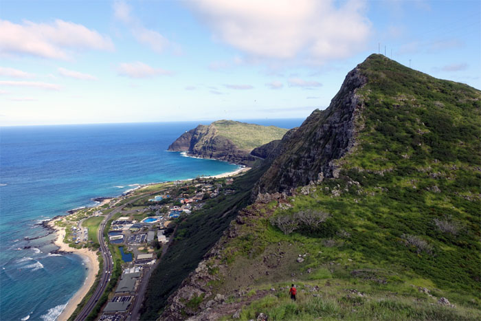
Looking out towards Koko Crater.
We are hiking through another dimension, a dimension not only of pose offs…
…but one captured through composition and lighting.
We are hiking into a land where time stands still. Photo by Chris.
You unlock this door with the key of the perfect photo. Fail and you are stuck in photographic purgatory. Photo by Chris.
You’re moving into a land of colors, shapes and lines. Photo by Chris.
A journey into a wondrous land whose boundaries are that of angle and perspective. Photo by Chris.
You’ve just crossed over into the Photo Shoot Zone.
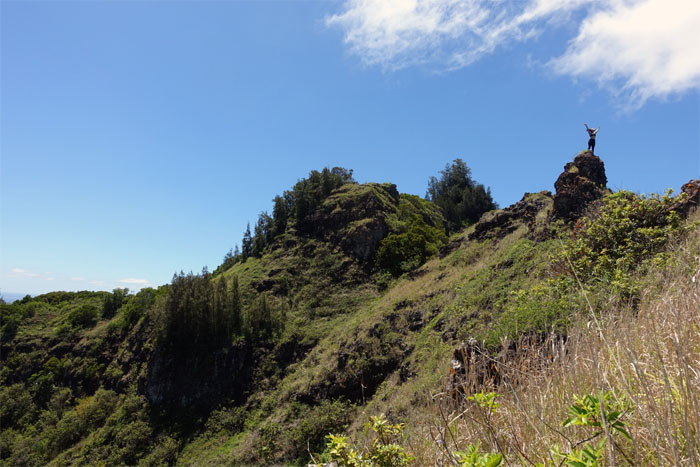
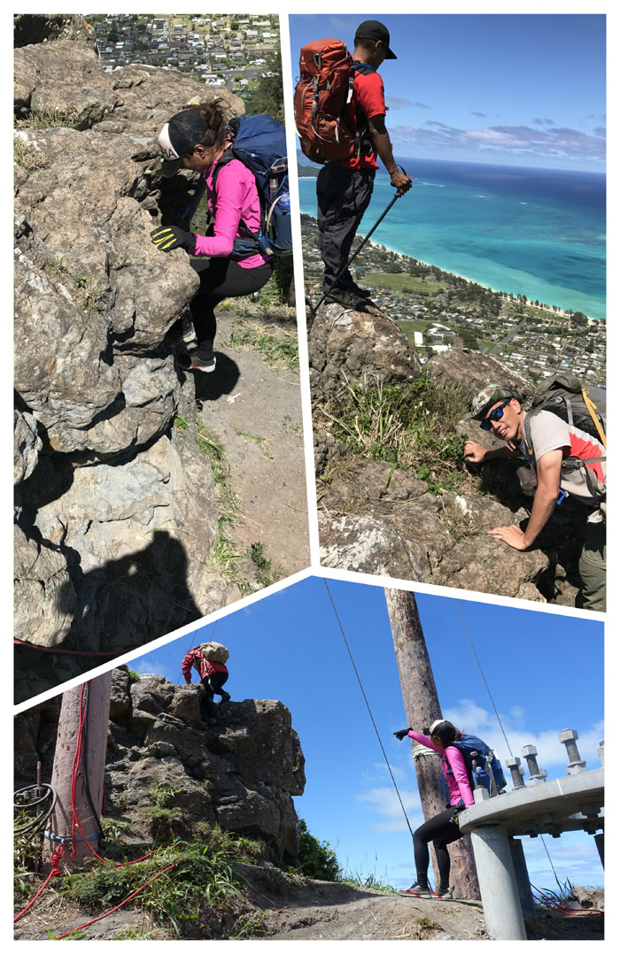
Climbing up the rock formation also known as Rito’s Tower.
Looking out at Keahupuamaunalua Pond that once sprawled over 500 acres but has since been shrunk by urban constriction and development.
The Windward ridge that will take you to the bottom of Waimanalo.
Whack-a-hiker. Photo by Shirley.
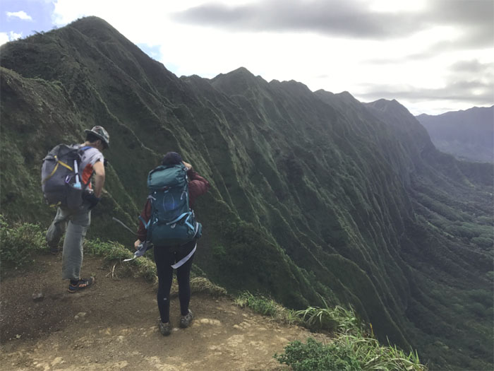
Shirley looking down into the deep gorge.
Cliff notes on rock climbing.
Time to leave all this fun behind us as we had places to go. Other photo shoots were waiting on the trail.
Shirley sitting on a tree … Wait, we are missing someone ….
… Let’s go back to hiking.
Group photo minus one at the 1,245′ summit. Dropping elevation as we made our way down the ridge line.
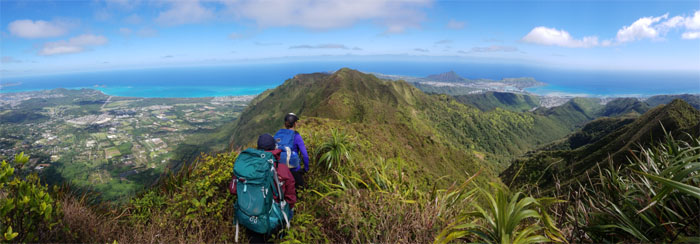
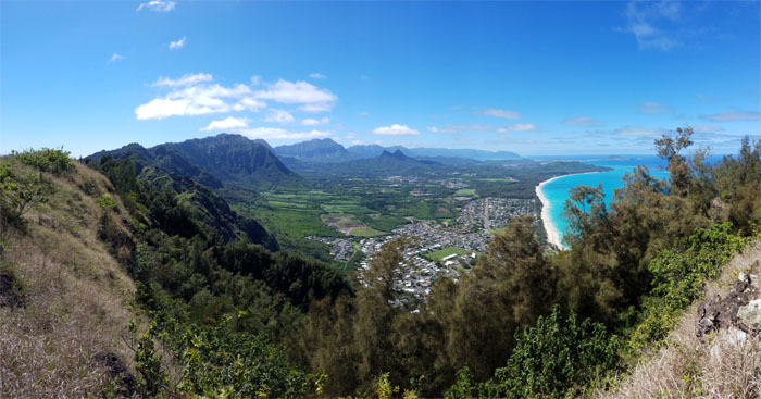
Panoramic view of the Ko’olau Range and the Waimanalo basin.
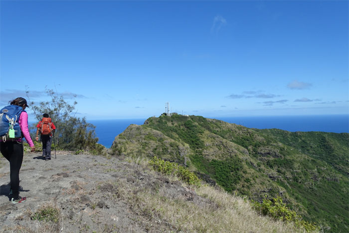
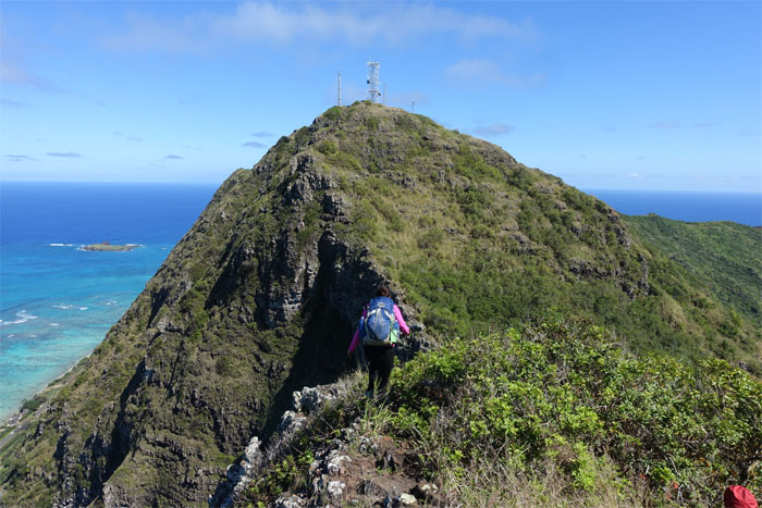
Approaching the communications tower.
Humping the middle of the saddle.
Coming up from the saddle. Photo by Shirley.
Yoly sitting on a rock.
Shirley sitting on a different rock.
Yoly scrambling her way to the top.
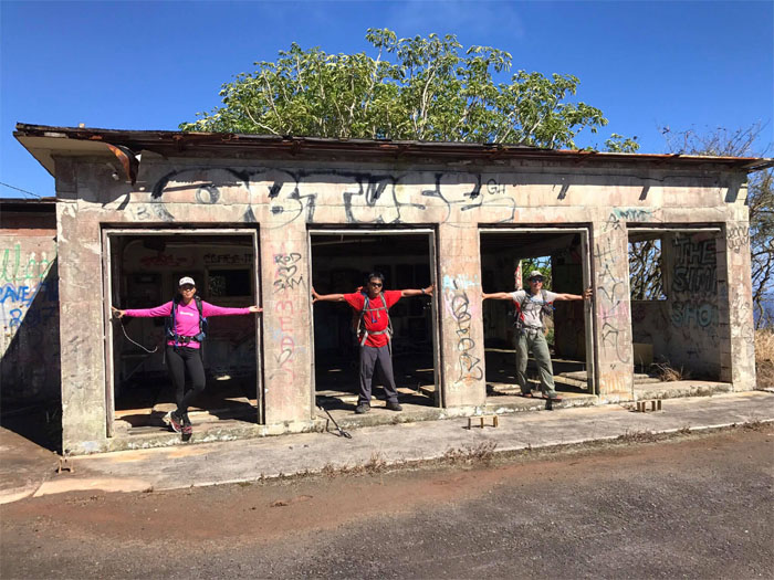
Just missing the bars, I mean doors. Photo by Yoly Bedford.
I guess it worked. Tear it down and they will stop coming. Haiku stairs – watch out.
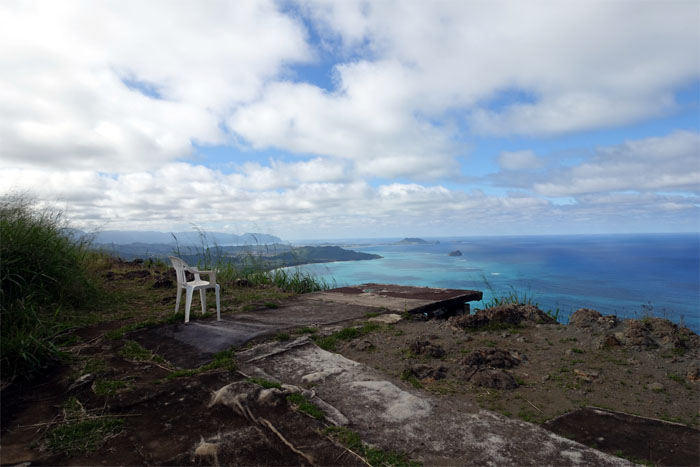
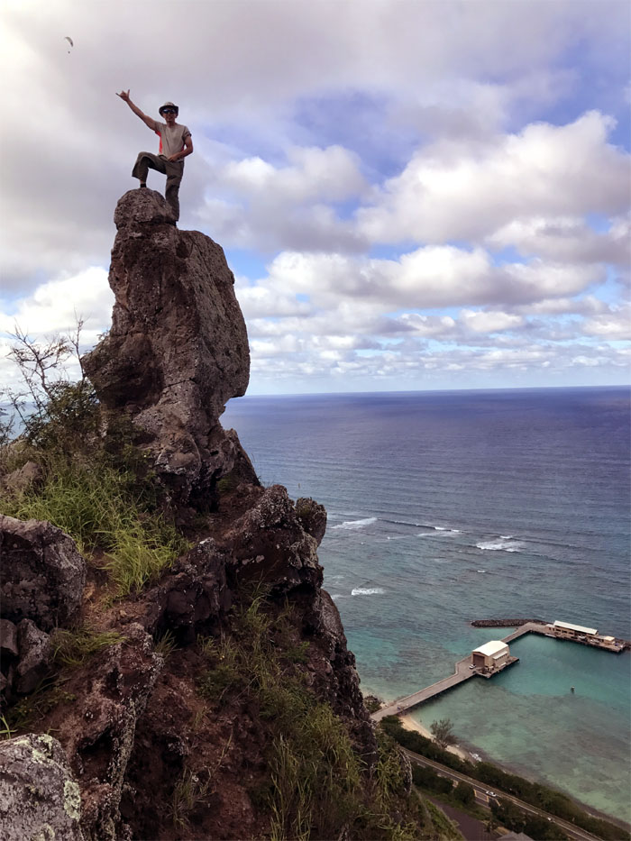
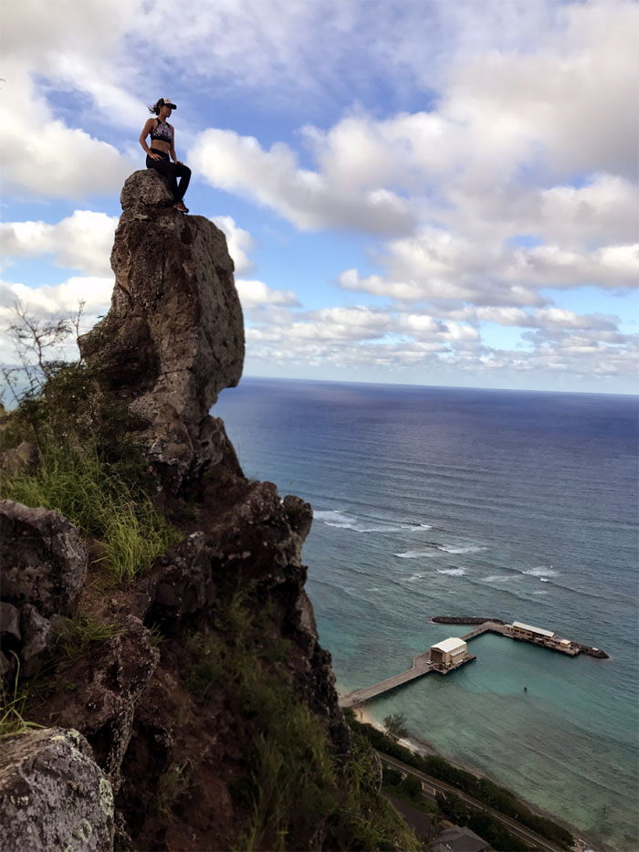
A plastic lawn chair with a million dollar view.
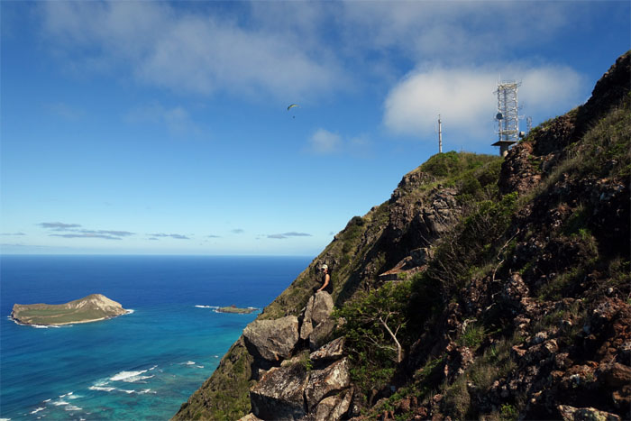
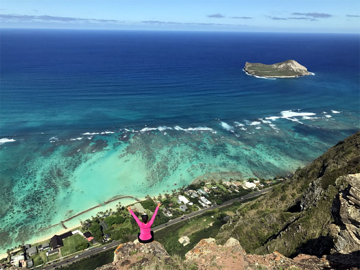
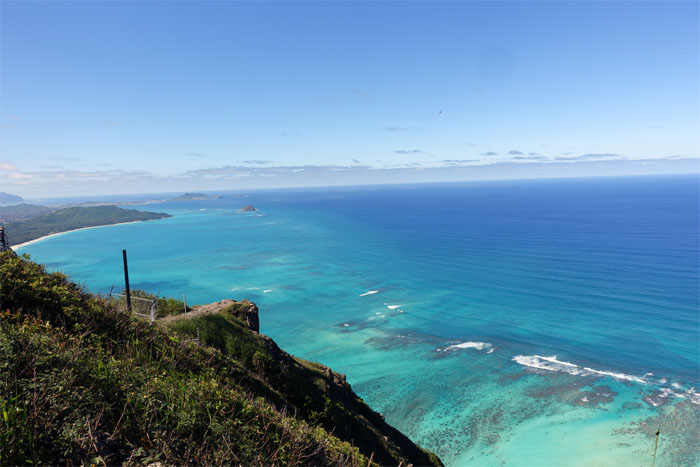
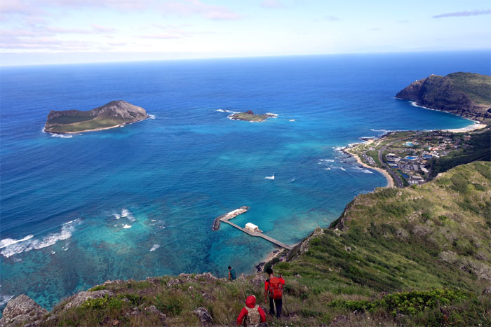
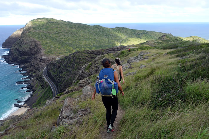
Enjoying the sweeping views of Manana and Kaohikaipu Islands, Makai Pier, Sea Life Park and Makapu’u Lighthouse as we continued our way down.
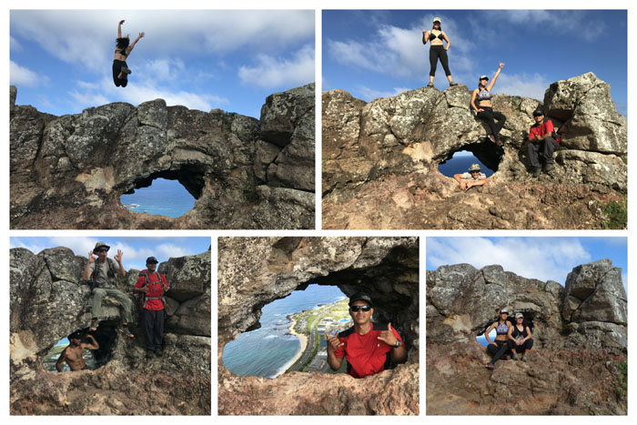
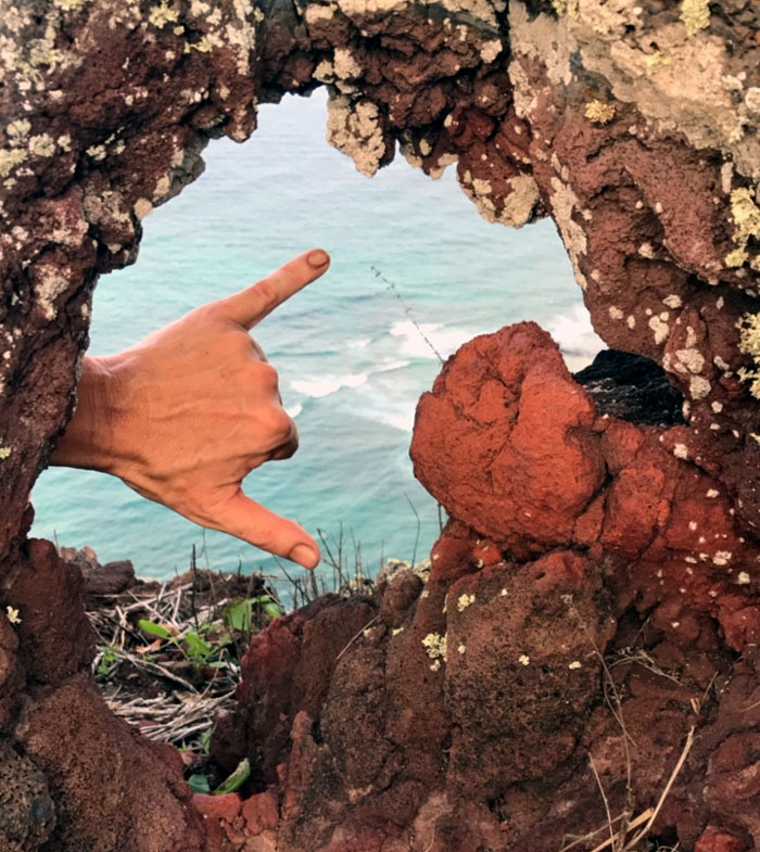
Making our way down to the puka.
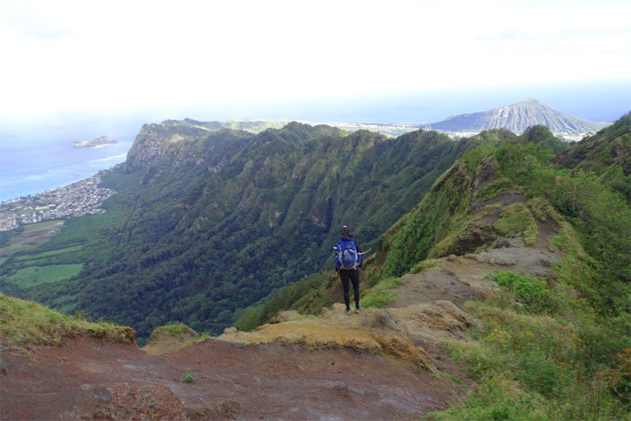
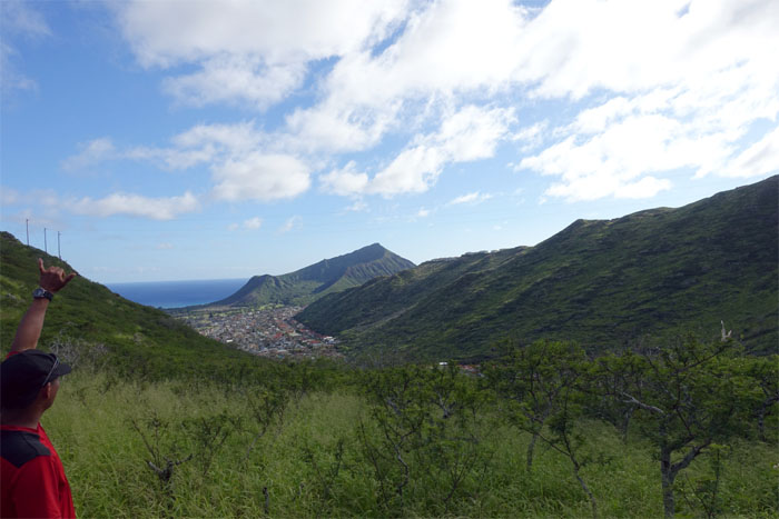
Looking straight down the backside of Kohelepelepe.
Warming up for another photo shoot … Photo by Shirley.
… because you can’t just take one photo at the puka.
Hiker see … Photo by Shirley.
… hiker do.
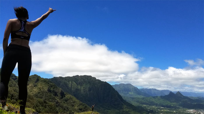
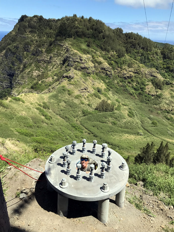
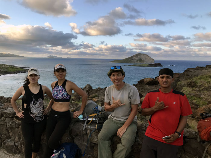
Shaka in the puka. Photo by Shirley.
We were blessed with trade winds and overcast conditions which helped immensely as there was no shade on this section of the trail.
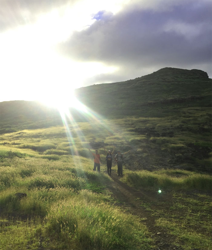
Sun beams splashing across the landscape and washing over the group. Magical and mystical. Photo by Yoly Bedford.
Making our way down to the lookout.
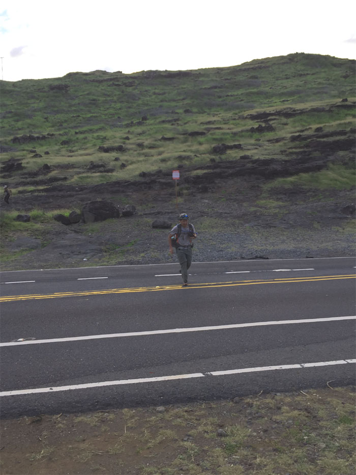
Why did the hiker cross the road? To join the other hikers. Photo by Shirley.
Going to the lighthouse? Not today. Mahalo to Jasmin for picking us up at the lookout. Photo by Jasmin Nepomuceno.
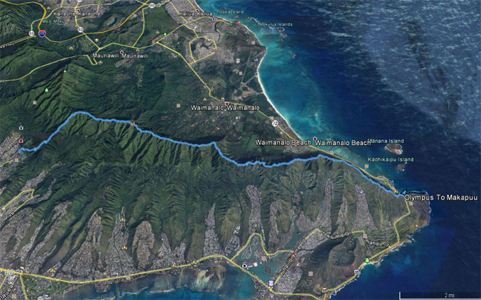
Our weekend hike covered 14.3 miles that was blessed with beautiful weather, fun times and great company. Post hike meal at Kona Brewery Company, because somebody wanted to quaff a beer labeled in the islands but brewed in California.
Note: I have been made aware the some hikers have been using my blog as a hiking guide and getting lost on the trails. Please note that this blog was made to document the hike for the crew(s) that did it. That is why some of my comments will seem to have no relevance or meaning to anybody outside of the crew(s) that hiked that trail. My blog was never meant as a hiking guide, so please do not treat it as such. If you find inspiration and entertainment from these hikes, that is more than enough. If you plan on replicating these hikes, do so in the knowledge that you should do your own research accordingly as trail conditions, access, legalities and so forth are constantly in flux. What was current today is most likely yesterdays news. Please be prepared to accept any risks and responsibilities on your own as you should know your own limitations, experience and abilities before you even set foot on a trail, as even the “simplest” or “easiest” of trails can present potential pitfalls for even the most “experienced” hikers.










{ 0 comments… add one now }