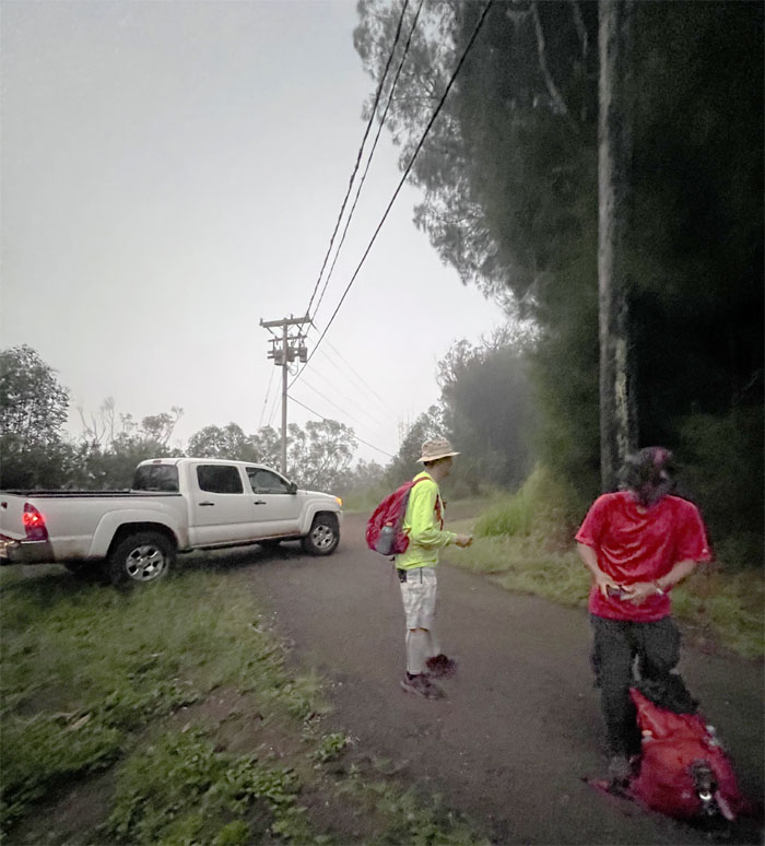
Organized another hike for another no-show. Well, the hike must go on. Mahalo to Mrs. Gill for allowing us to go up Palehua Road which shaved off a couple hours of our hiking time.
Many thanks to Thomas for driving Art, Chris, Lilyn, Matt and myself up the road that is only 2.5 miles long but seemed twice as long.
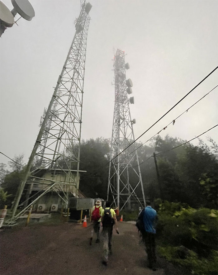
Heading towards the towering communication towers that marks that start of the trail.
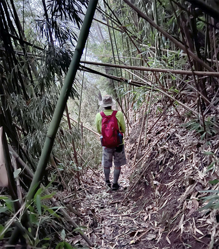
Matt walking through the bamboo forest.
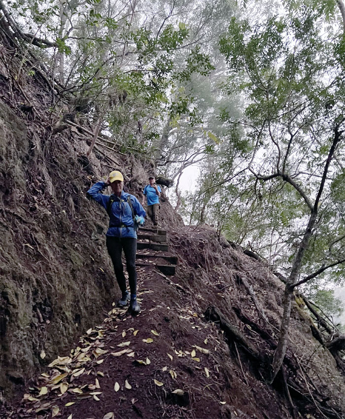
The trail below the hill has been severely eroded, but luckily has been shored up by the workers.
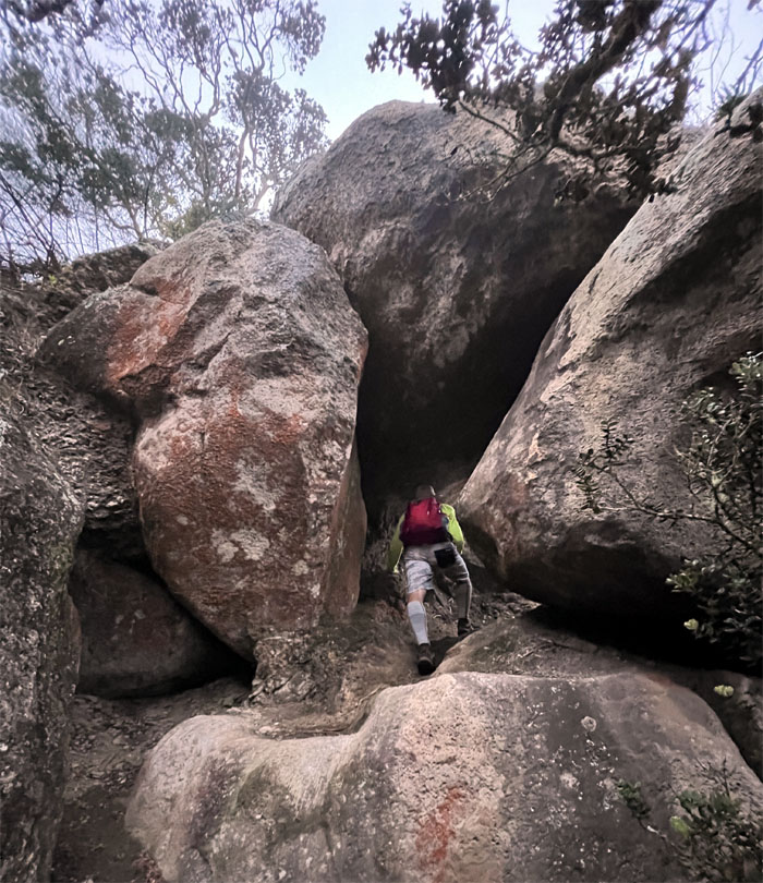
Matt going through the stacked boulders that I like to call the “Indiana Jones Tunnel.”
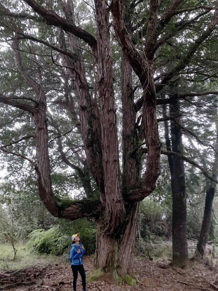
Lilyn finally got to see the tree that is plastered all over social media.
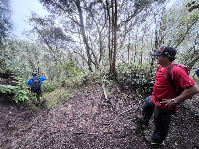
Art going down the trail to Kunia that has been lost to the overgrowth.
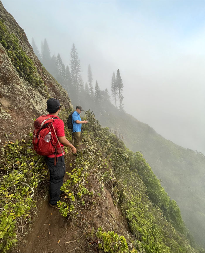
Contouring our way below the hill towards the cloud soaked grove of pine trees.
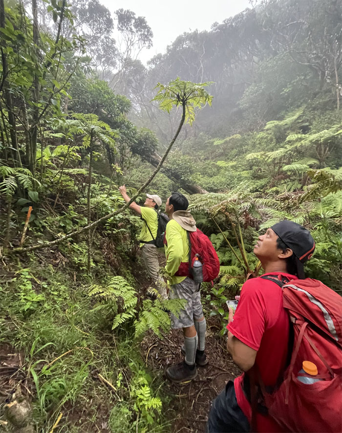
Trying to identify endemics in this native rich section of the mountains. No Happy Face Spiders. No help from IG.
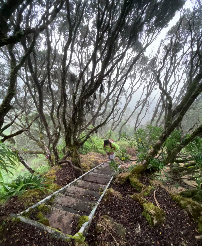
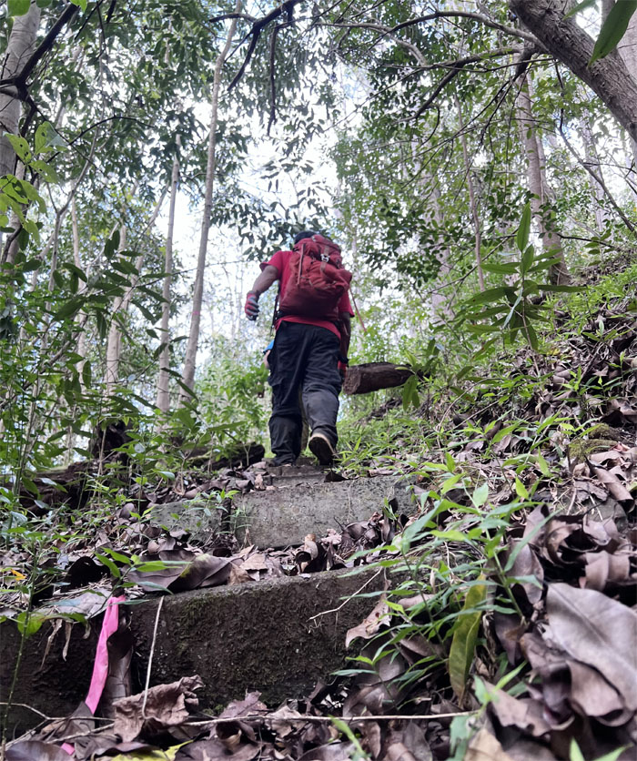
Matt going up the iconic set of stairs in Palehua amidst the native rain forest.
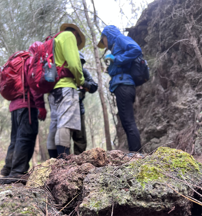
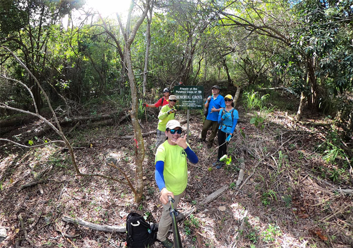
The group looking at the junction that takes one down to Heleakala ridge.
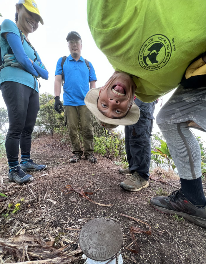
There’s photobombing and then there’s photobombing on a different level. Thanks Matt!
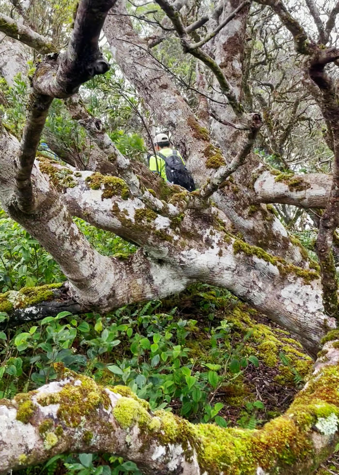
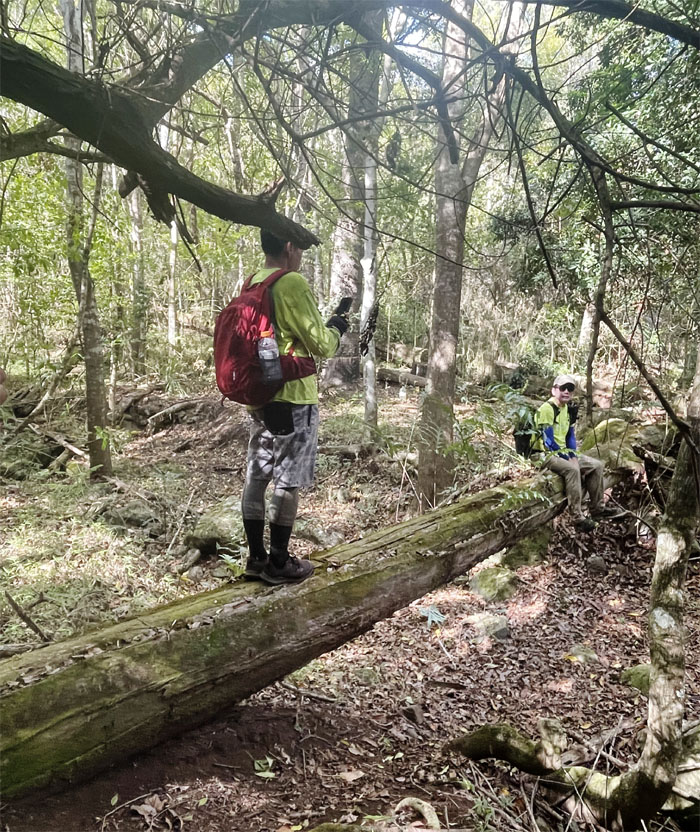
Making our way through the heavily wooded and overgrown trail.
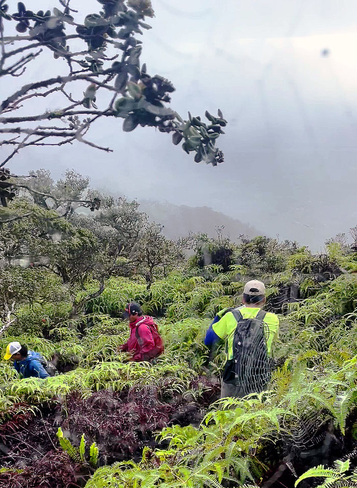
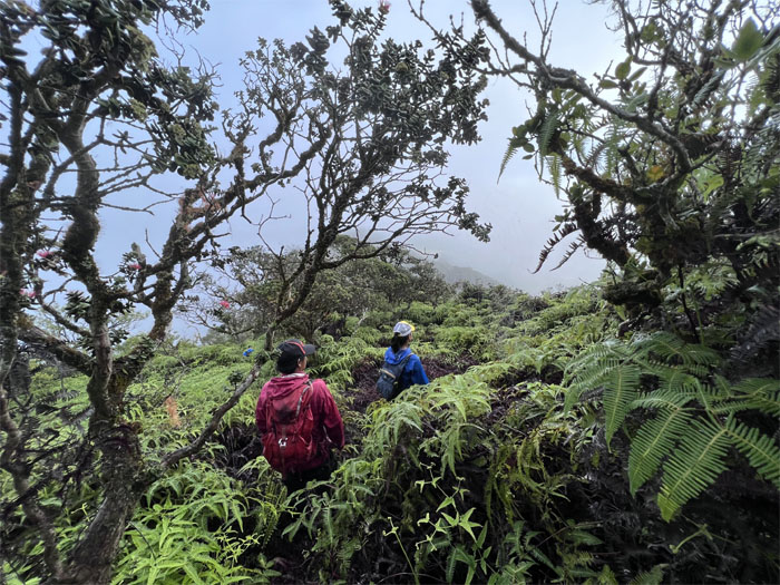
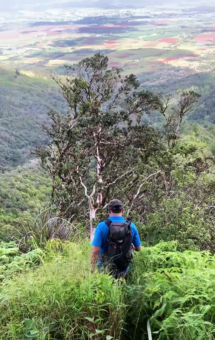
The group swimming their way down through the sea of uluhe ferns.
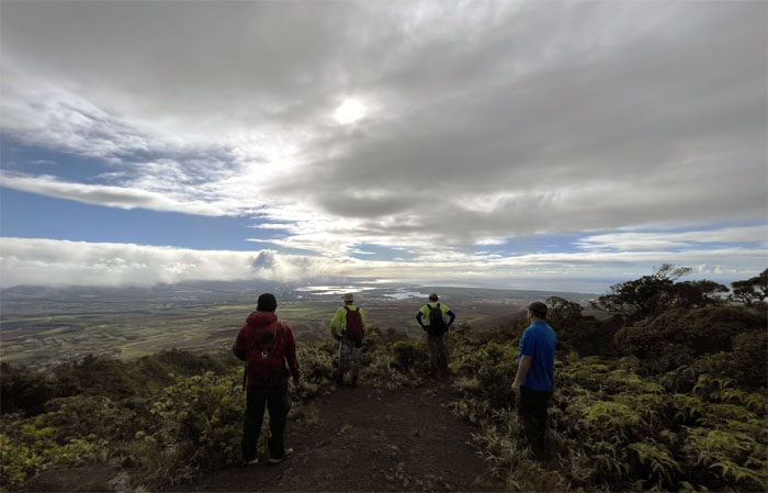
Looking out over Pearl Harbor and the surrounding central plains.
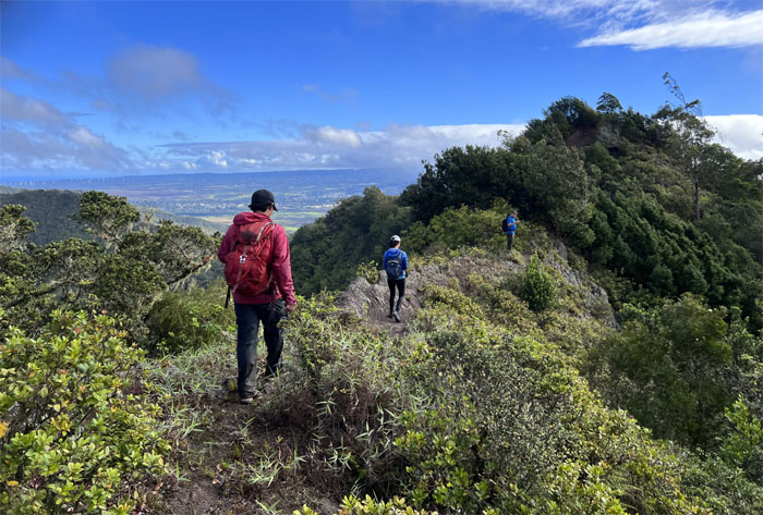
The group crossing through an exposed area before plunging back into the tree line.
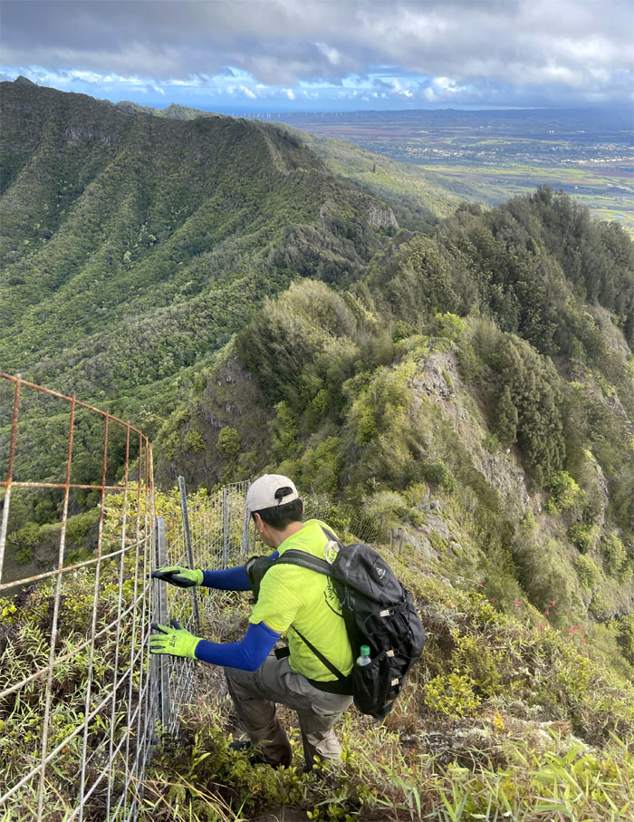
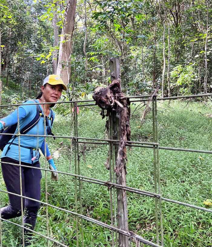
Going down the steep fence lined hill.
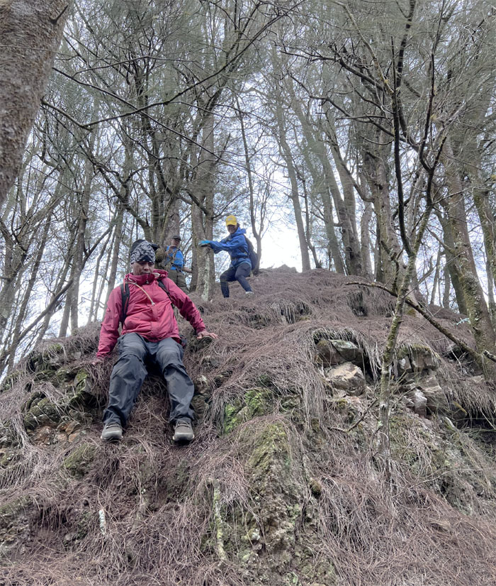
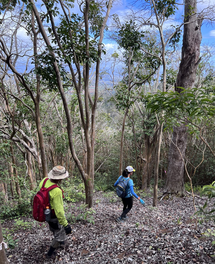
The group controlling their descent down the pine needle covered hill.
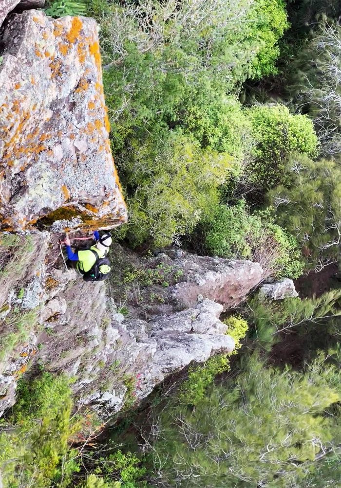
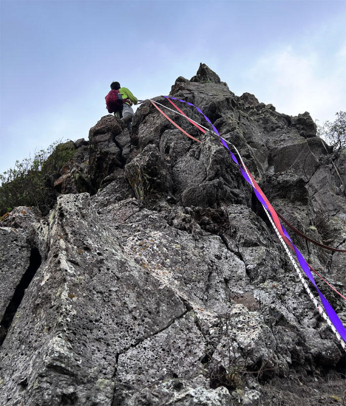
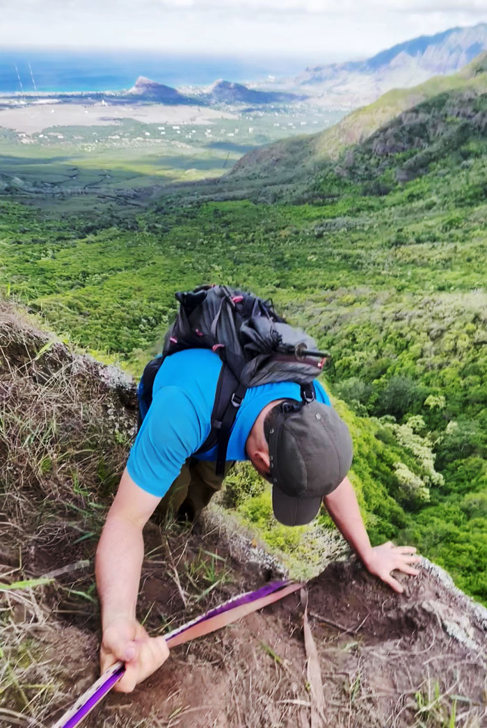
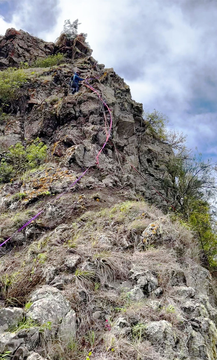
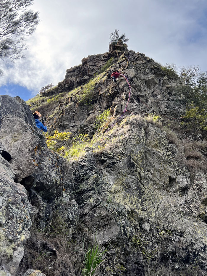
Looking down at the roughly 80′ climb. Made easier with the Christmas tree of webbings strung from the top.
Checking out the holds and the webbing integrity as I climbed my way down.
When orders get contradicted on the cliff during the climb down, compounded by the blowing wind.
Art making his way down.
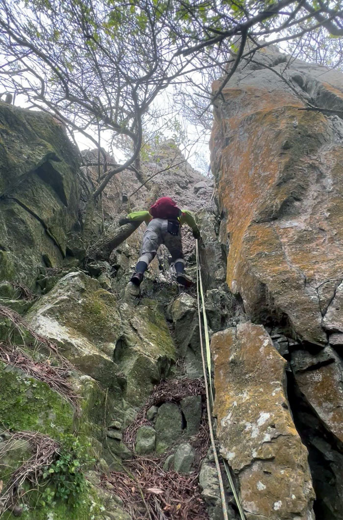
Climbing down the crack. The one between your butt.
Ate you go last. When that didn’t work, Chris came down last.
Group photo at the bottom of the cliff.
Trying to locate the trail that descends down towards Kunia. Our efforts were successful which warrants another trip back to this area.
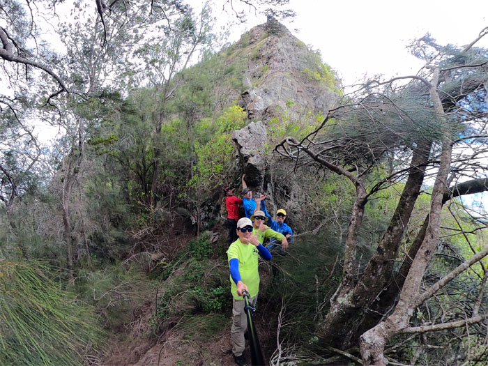
Matt stemming and climbing his way up the crack in the cliff.
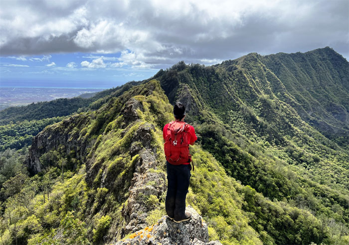
Sitting on the scenic rock while getting photobombed again.
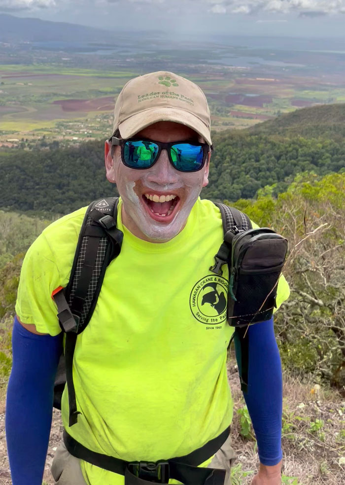
We didn’t see any Happy Face Spiders in the wild, but we did run across a Happy Face Joker, just in time for Halloween.
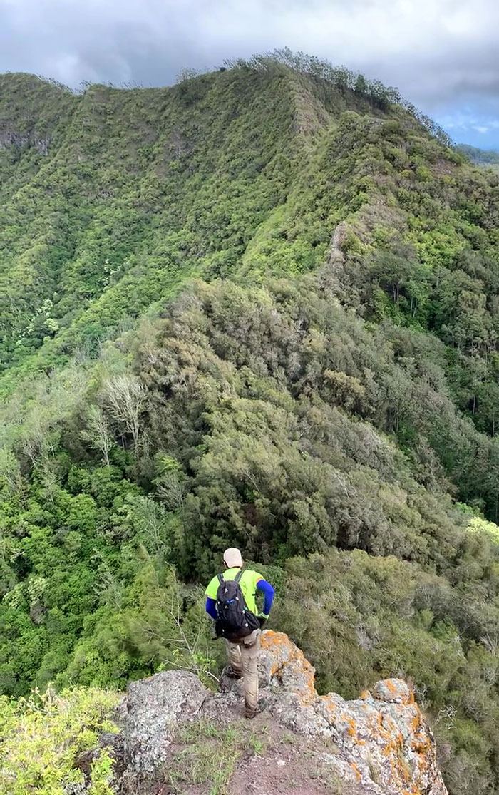
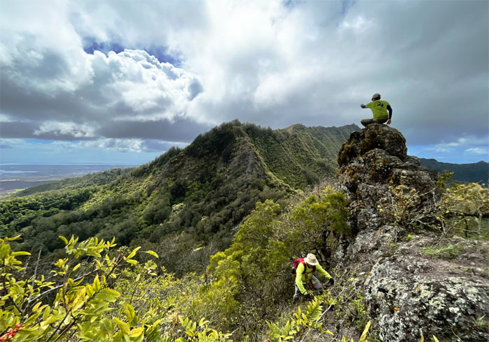
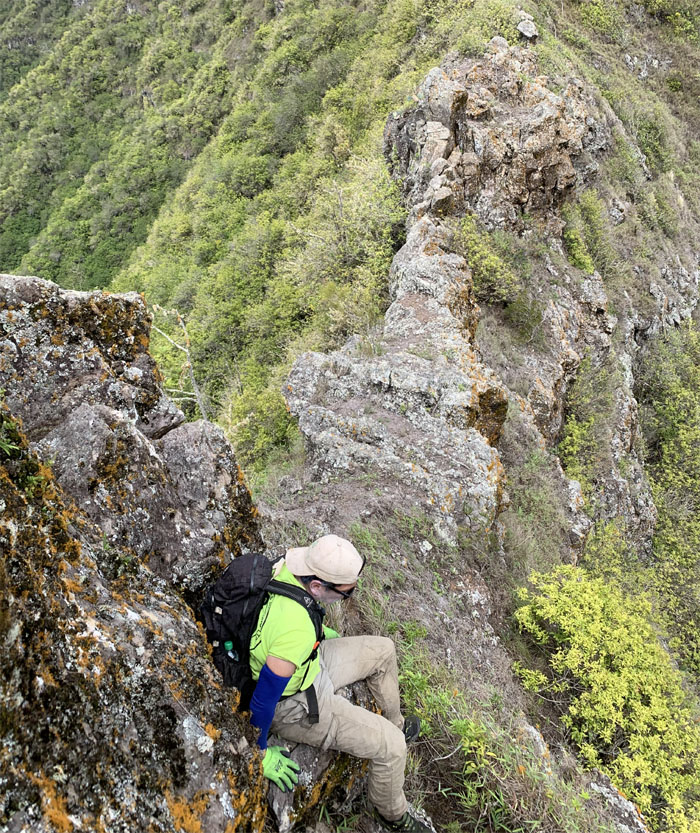
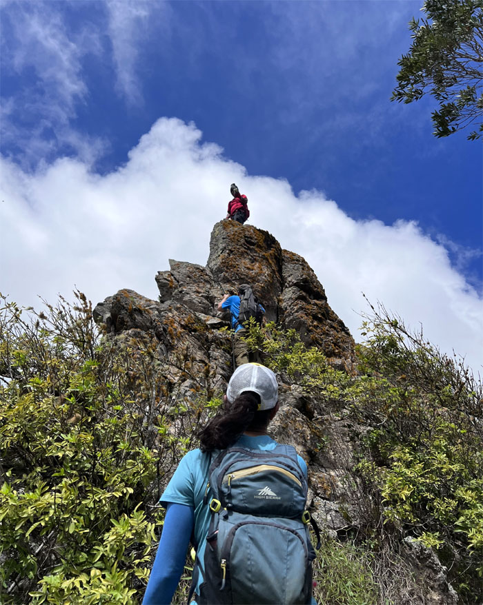
Climbing down one of many rock obstacles on the ridge.
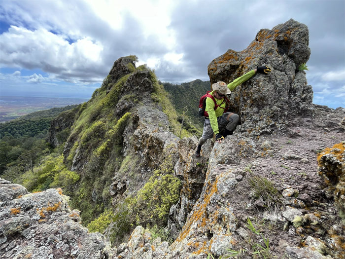
Matt contouring and climbing his way around the tricky rock.
The group climbing their way up one of the last rock obstacles on the trail.
Chris looking back at the pass.
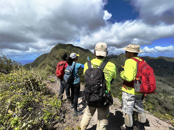
The group having a deep discussion on where the terminus of our hike is located.
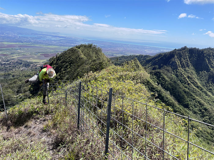
Matt climbing over the fence line. Easy peasy. Just like the border crossings.
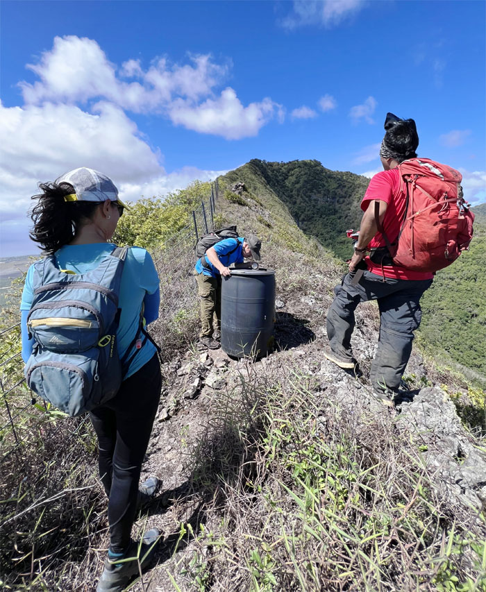
Art sampling the local water supply.
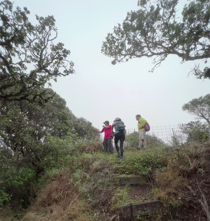
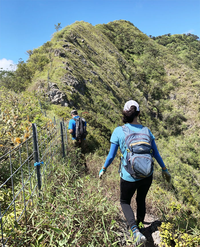
Following the fence line to the summit.
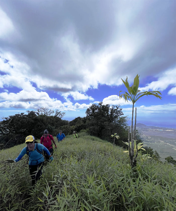
The group reaching the ti leaf marked grassy area.
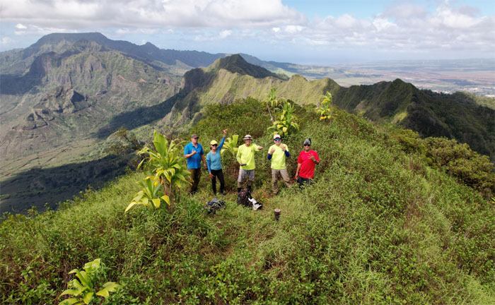
The wind had died down enough for Matt to fly his drone to catch our group photo at the third highest peak in the island.
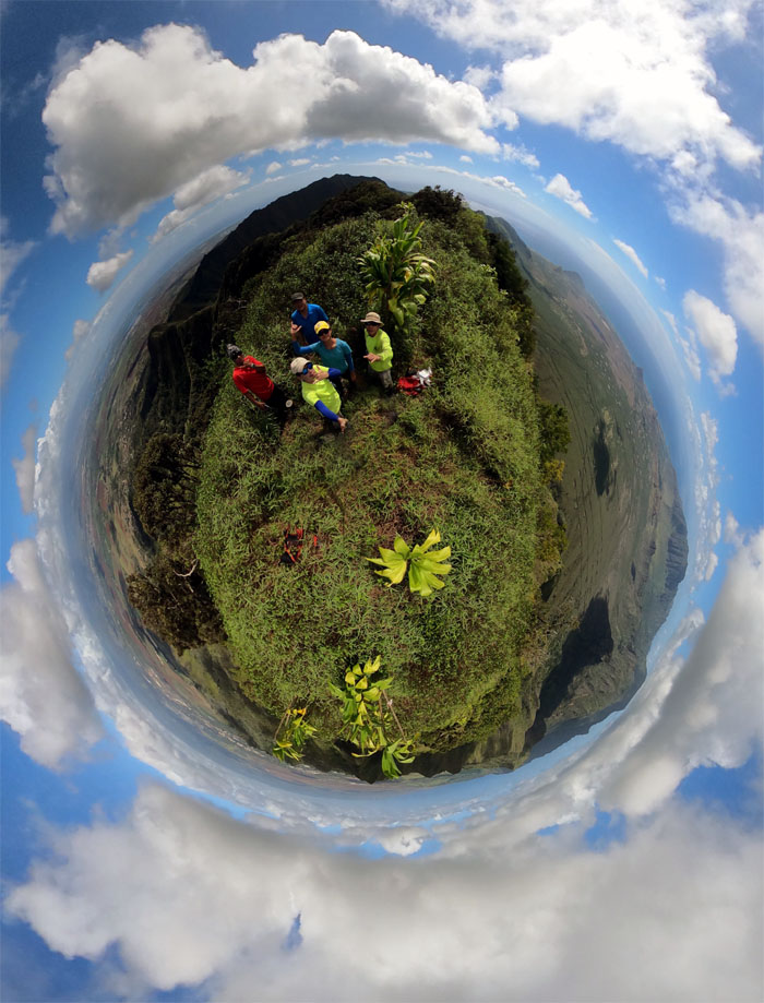
A 360 view of the 3,127′ summit.
Art going down the steep section leading down from the top.
Sliding down the leaf carpeted hill with the trees acting as our brakes.
Cat’s meow. Or does somebody smell a rat? Is it Christmas yet?
Sitting like a bump on a log while somebody wanted to pass.
Class reunion. Everybody looked pretty good for their age.
We climbed out of the hill to jump into Matt’s truck and picked up our cars at the top of Makakilo Drive. Fun hike through the Waianae Mountain Range that also connected the dots for Chris’s #4 and my #9 finish for the WST.
Post hike meal at Julie’z in Kapolei. Family style eating that ended with with a bunch of public school graduates deciding how to split the check at the end.
Photos taken by Art Young, Chris Bautista, Lilyn Avendano, Matt Vidaurri, and yours truly. Not necessarily in order.
Note: I have been made aware that some hikers have been using my blog as a hiking guide and getting lost on the trails. Please note that this blog was made to document the hike for the crew(s) that did it. That is why some of my comments will seem to have no relevance or meaning to anybody outside of the crew(s) that hiked that trail. My blog was never meant as a hiking guide, so please do not treat it as such. If you find inspiration and entertainment from these hikes, that is more than enough. If you plan on replicating these hikes, do so in the knowledge that you should do your own research accordingly as trail conditions, access, legalities and so forth are constantly in flux. What was current today is most likely yesterdays news. Please be prepared to accept any risks and responsibilities on your own as you should know your own limitations, experience and abilities before you even set foot on a trail, as even the “simplest” or “easiest” of trails can present potential pitfalls for even the most “experienced” hikers. One should also always let somebody know of your hiking plans in case something doesn’t go as planned, better safe than sorry.

{ 0 comments… add one now }