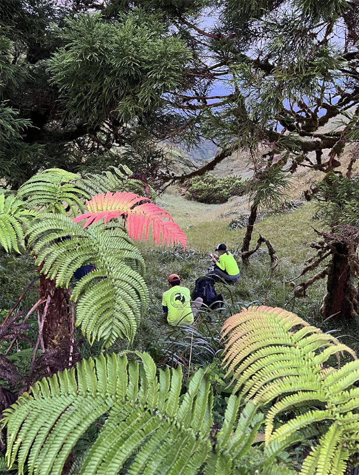
We spent a camping weekend in the mountain and defied the weather predictions of rain all weekend.
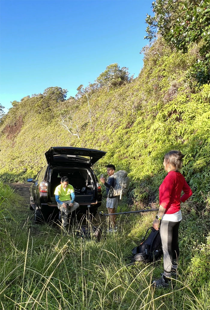
Thanks to Renato for picking Alexis, Quan, Tessa and myself up and shuttling us to the Poamoho trail. He also managed to finally break in his 4×4 on the jeep road and get a taste of what’s it like to carry a heavy backpack.
Passing the halfway mark, thankful that we no longer have to worry about cannibals. Just have to read about them.
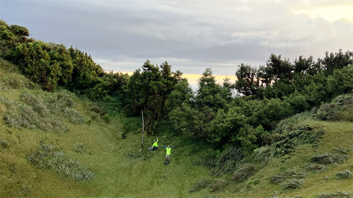
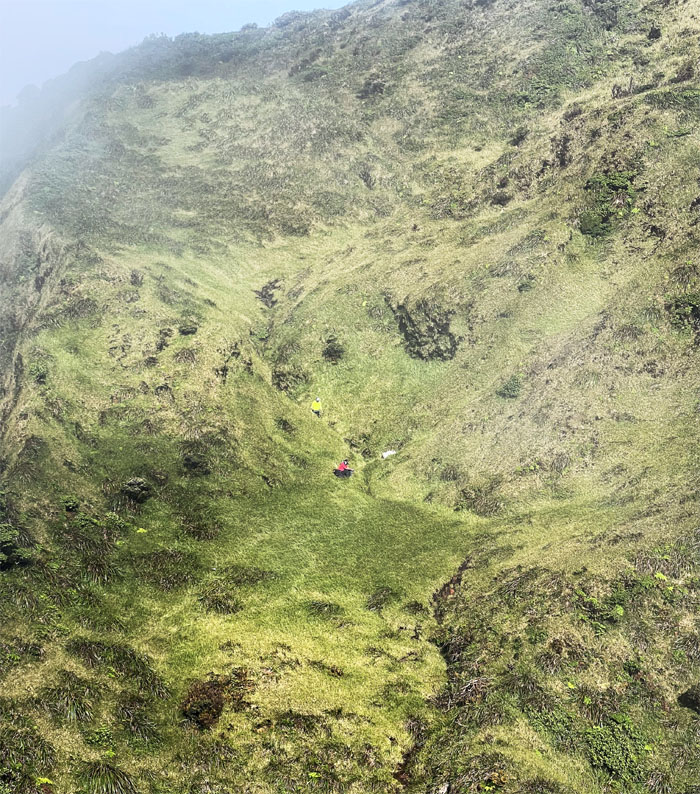
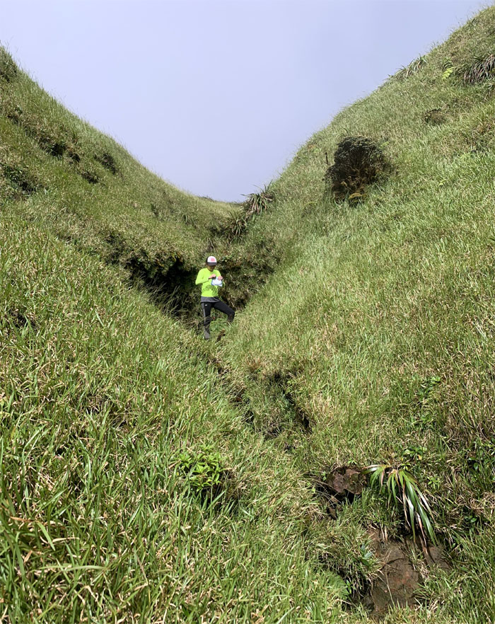
Headed into the gully where we soon passed two other kids who had spent the night at the cabin and were making their exit down the trail we had just come up from.
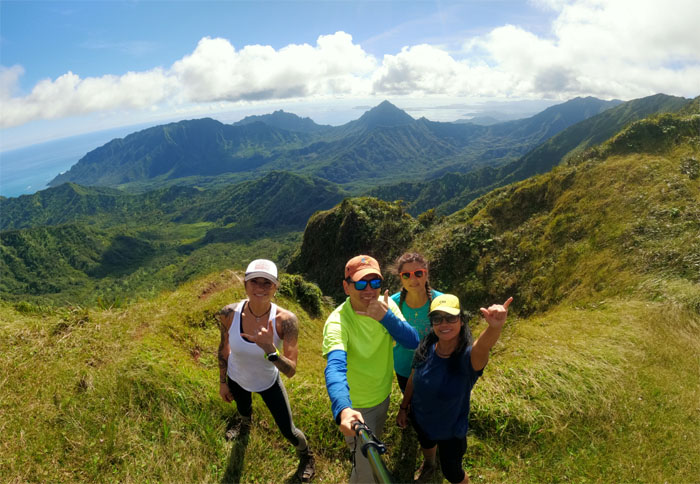
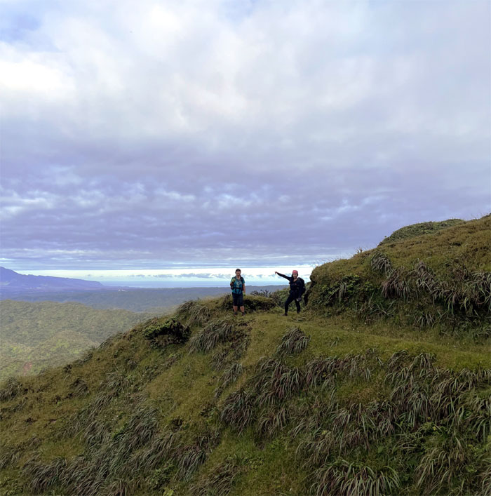
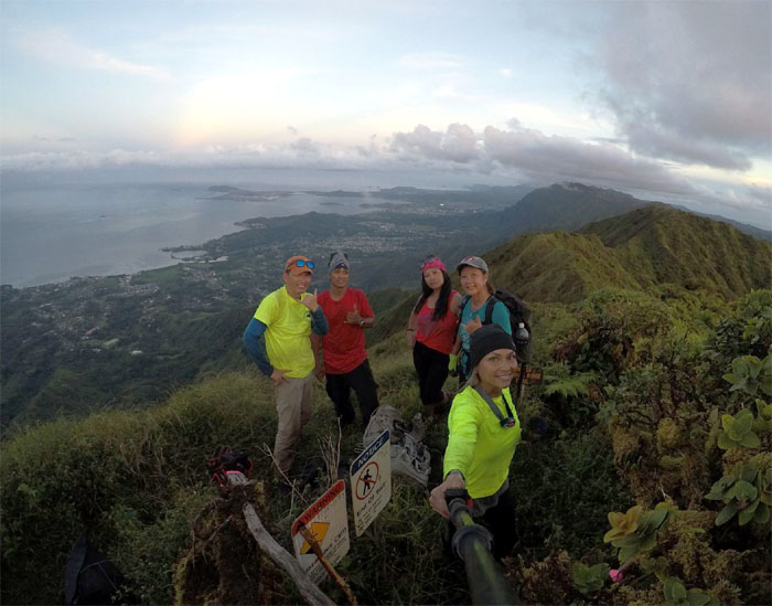
Group photo at the 2,520′ grassy summit with some of the best views on the island.
Leaving the summit for the boardwalk.
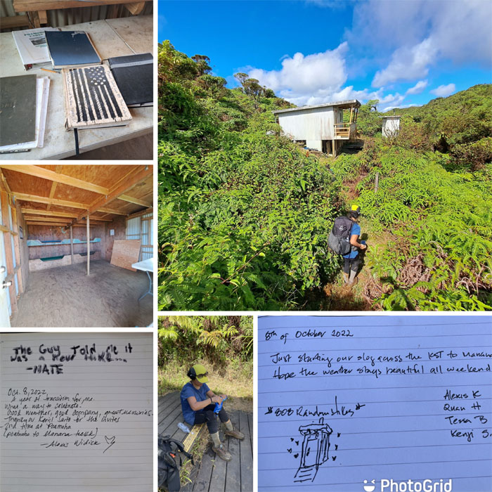
We filtered water to stock up our water supplies, signed the log book and poked around the cabin. Clean as a whistle.
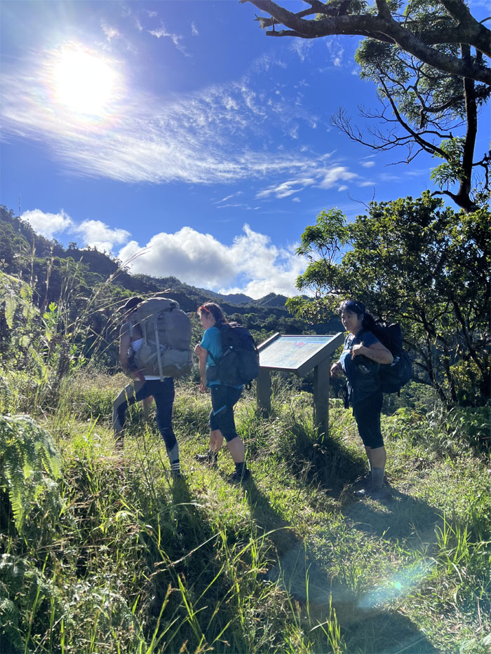
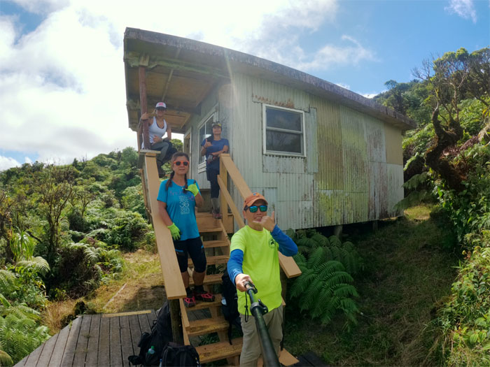
I think not many hikers know you can reserve this cabin in advance. But I’m not sure how that would play out in real life. Would a group that had no reservations but were already staying in the cabin vacate for an arriving group with reservations? We had no reservations so we took a group photo and shoved off.
Making our way towards the man-made notch in the mountains.
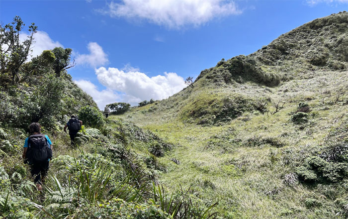
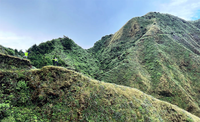
The group crossing one of many meadows in the mountains.
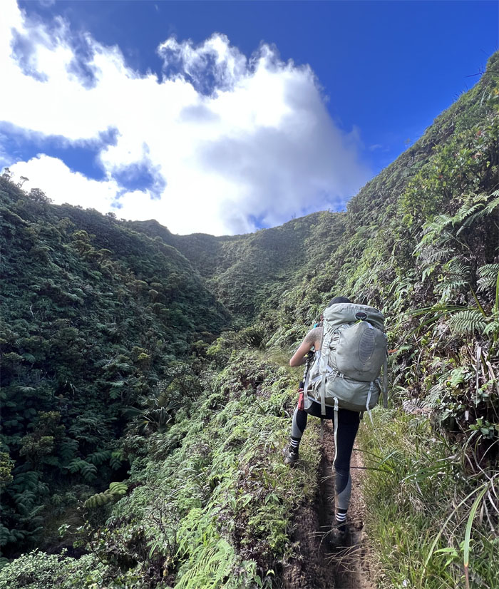
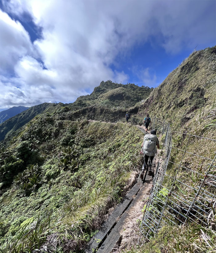
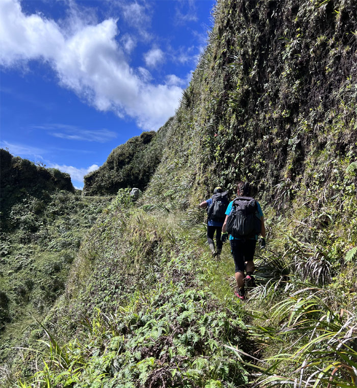
Hiking on the trail that was blasted and dug out the side of the cliffs back in the 1930s.
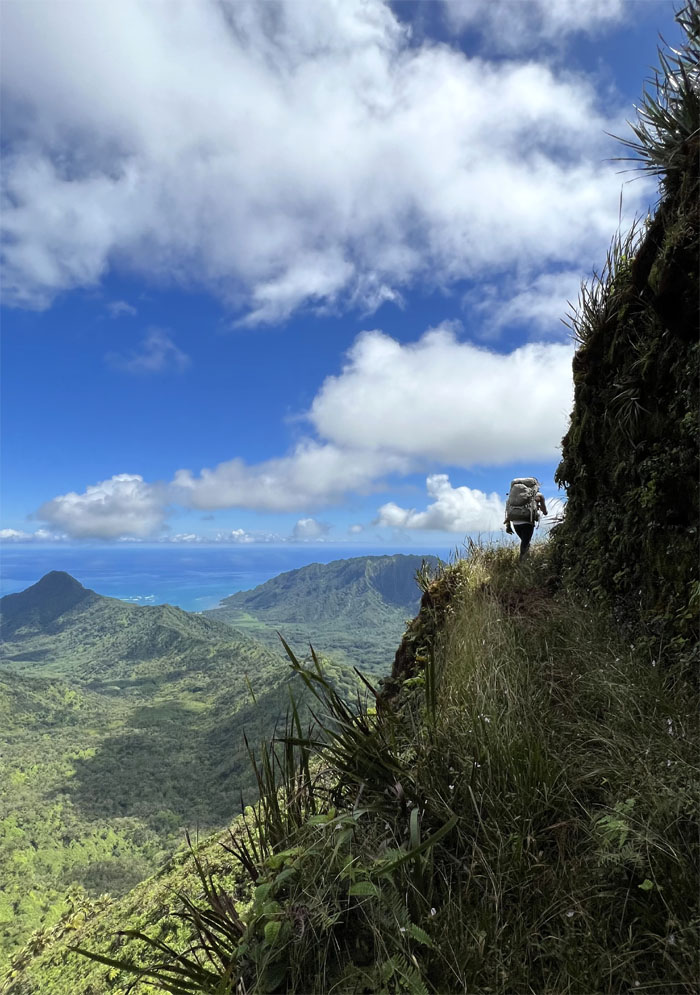
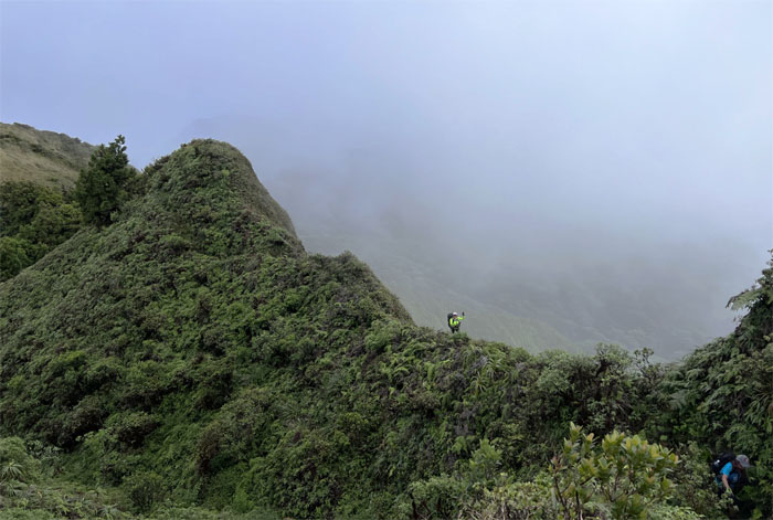
Looking down at the ridge that drops down into Kahana Valley.
Alexis staying hydrated on the trail. A good practice that would result in running low on H20 later in the day.
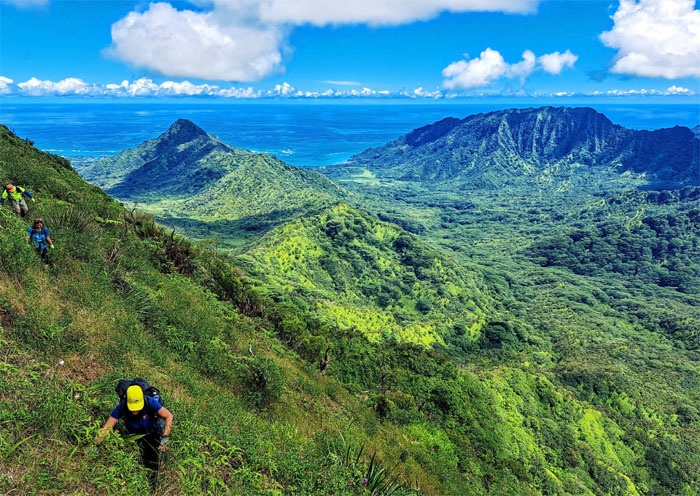
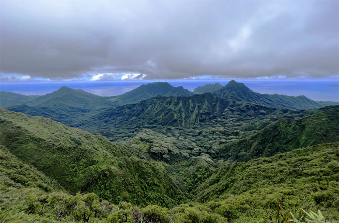
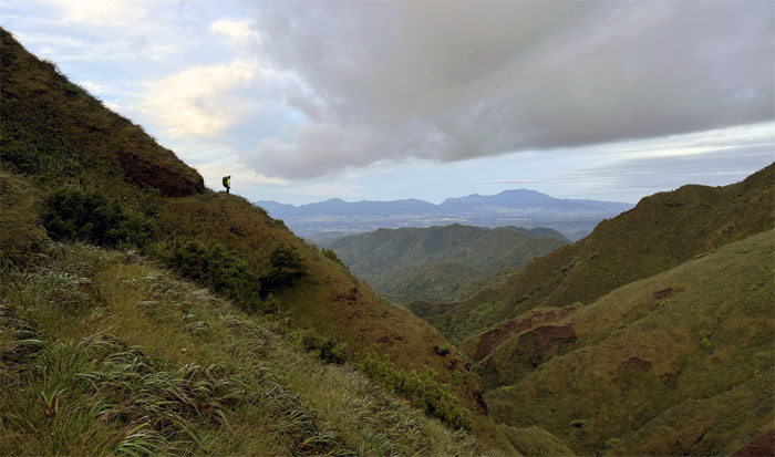
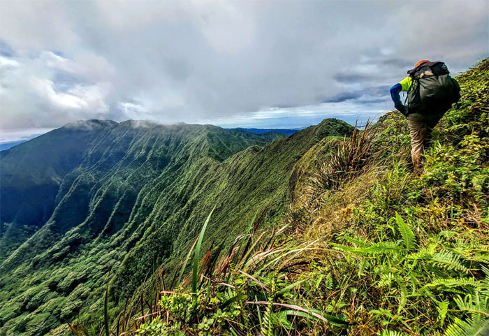
Looking back at the lush and verdant valleys separated by multiple peaks.
Weather forecast had shown a 40% chance of rain today. The KST weather in the mountains is always unpredictable and rewarding at the same time it seems.
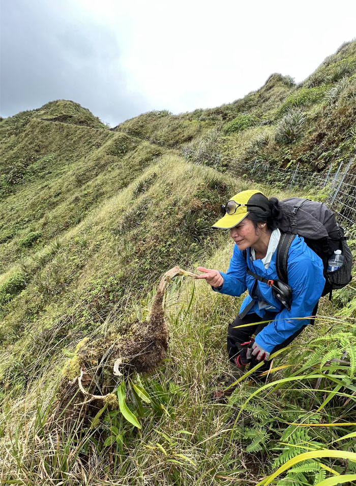
Tessa petting the last known specimen of the Ko’olau Goose. Looking rather long in the tooth.
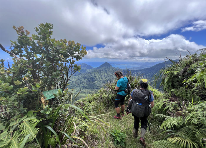
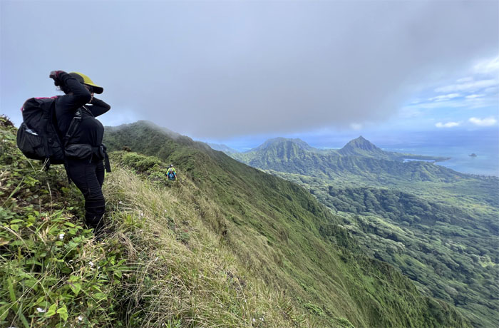
Background view of the valleys with the three peaks of Kualoa, Manamana and Ohulehule.
Leaving the fence line and taking the lower trail.
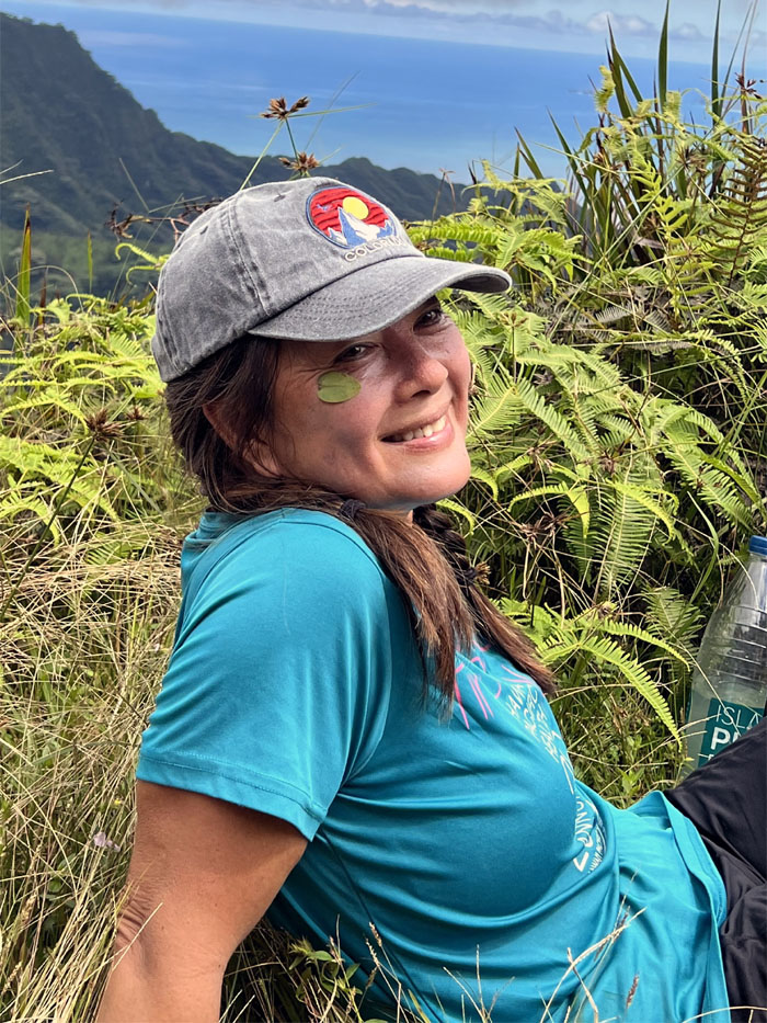
Quan picked up a leaf hitchhiker that stayed with her for some time. I think she is taking the green movement a bit too seriously.
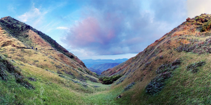
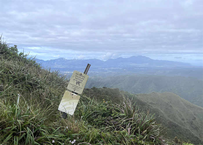
Panoramic view of the mostly undeveloped valleys from the 2,360′ summit.
Heading towards the split in the trail that was visibly etched into the mountains.
Going up the higher trail to stay in the mountains. Taking the lower trail will descend down into Waikane valley.
Traversing over the well-trodden landslide.
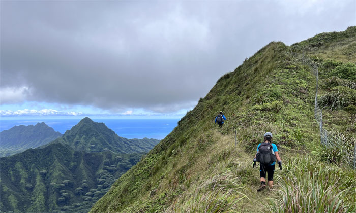
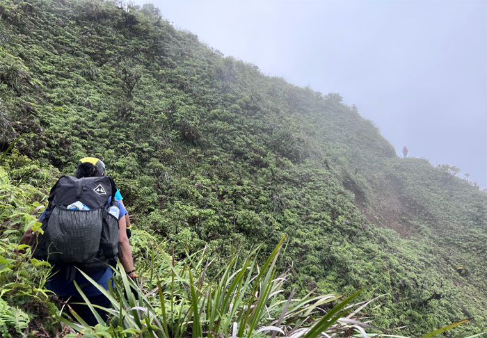
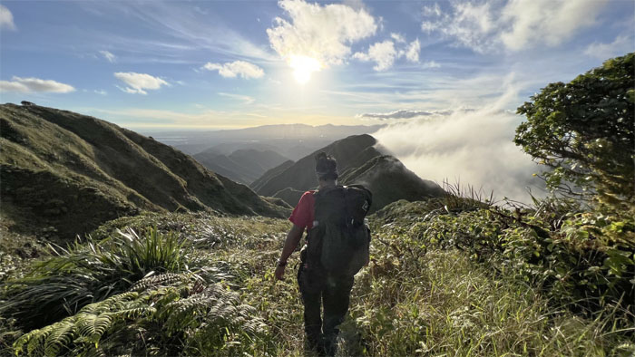
Contouring on the Leeward side as we rounded hill after hill.
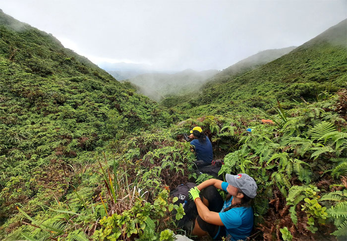
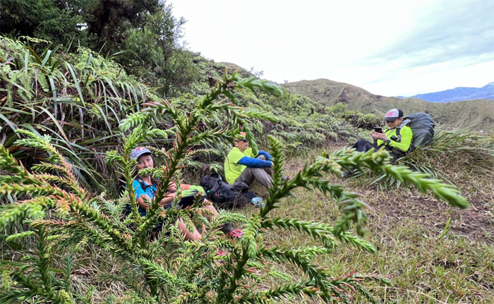
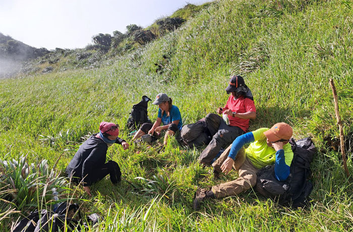
Taking a break in the mountains. Miles away from civilization. Many miles.
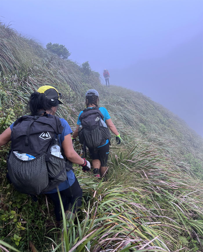
Resuming our contouring below the ridges. Are we there yet?
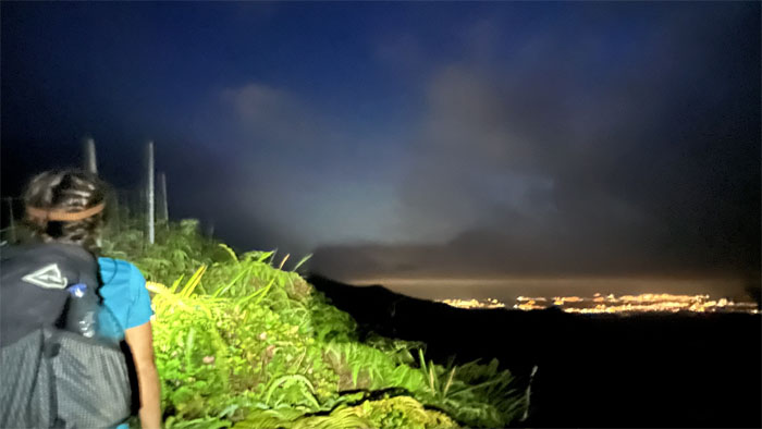
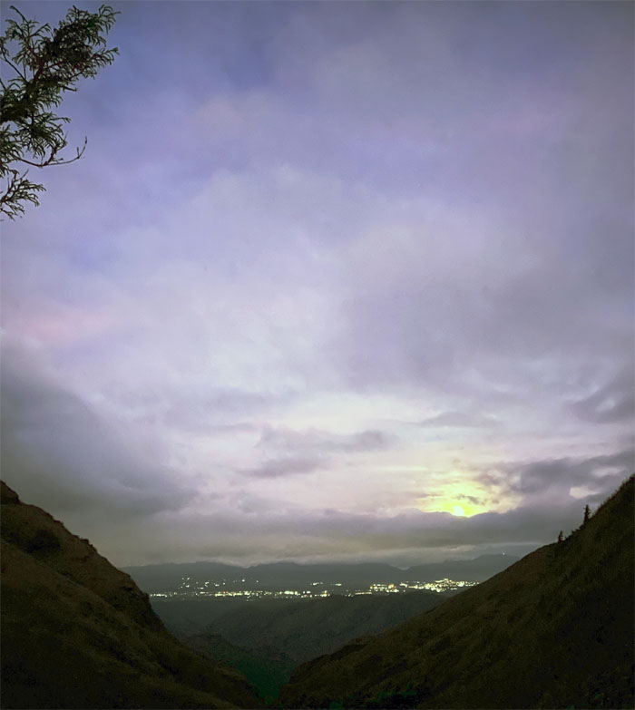
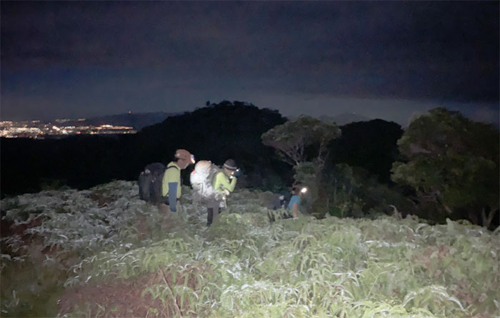
Hiking by the city lights.
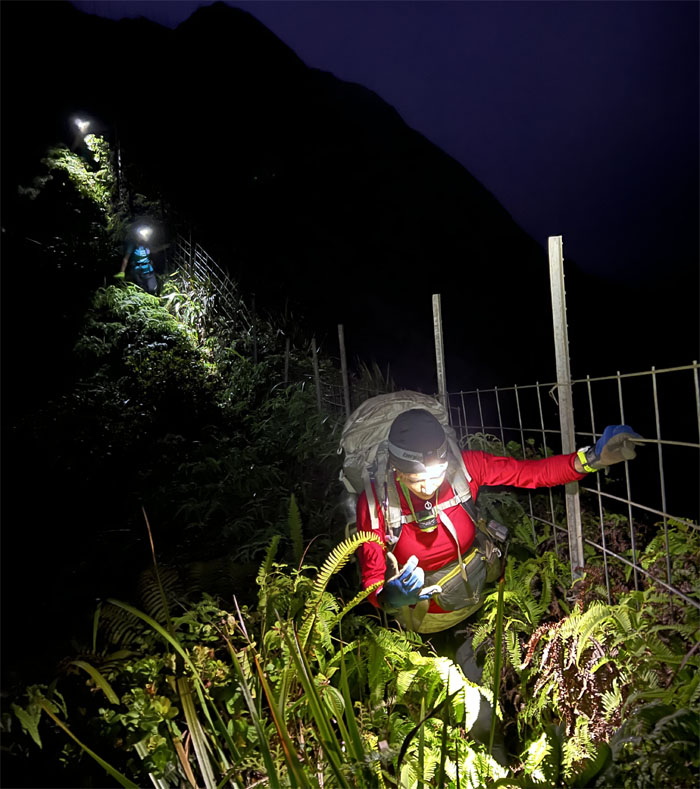
Following the fence line down as it dropped us into the valley for the night.
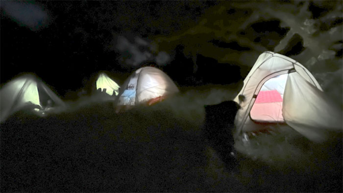
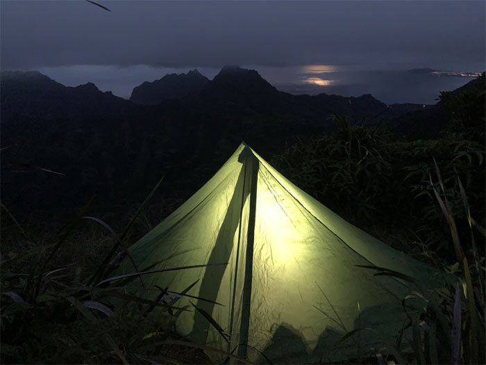
We set up camp in the dark on the grassy slope and ate our dinner in compartmentalized solitude.
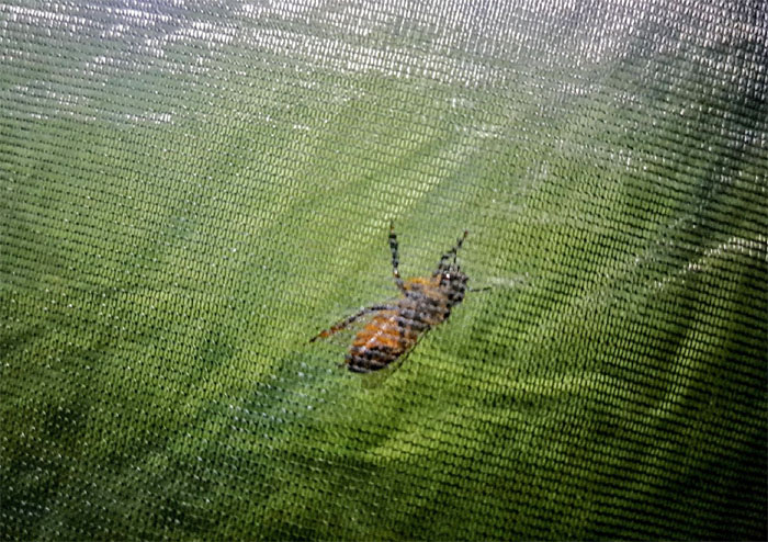
The bee that proved science wrong, as it hung outside her tent all night after being swatted by Alexis. Science claims that insects do not possess such high order intelligence to harbor anger or vengeance. I guess this bee was literally just dying to prove that theory wrong.
Meanwhile, a couple clicks over, Chris had finished work and ran up the Schofield Waikane trail to camp at the summit for the night.
Day 2
Catching the cloudy sunrise the next day from our campsite.
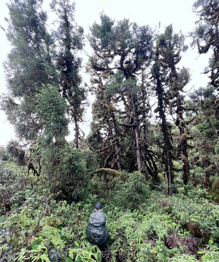
Tessa standing in front of the horizontal leaning sugi pine tree that seems to be slowly creeping up the hill.
Some wanted coffee for breakfast. No water. No coffee. Time to break down camp and take our leave.
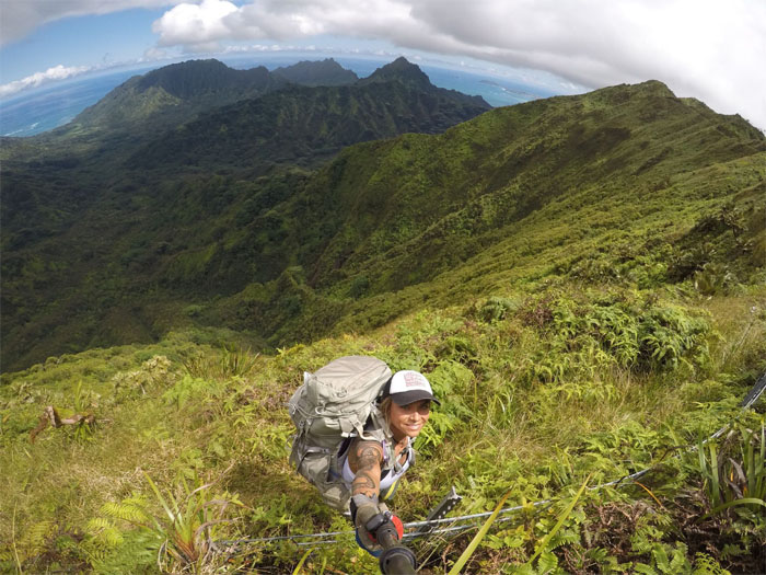
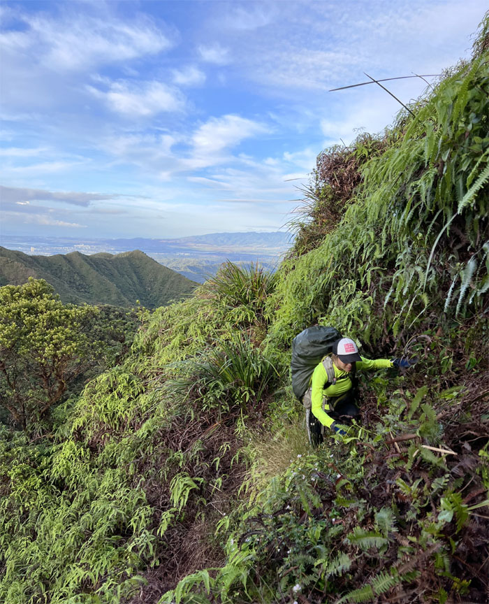
Climbing out of the valley to regain the trail.
Looking out towards the other and older mountain range of Waianae.
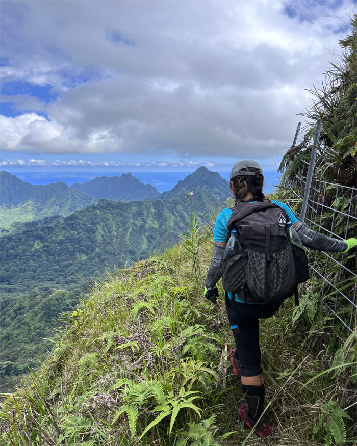
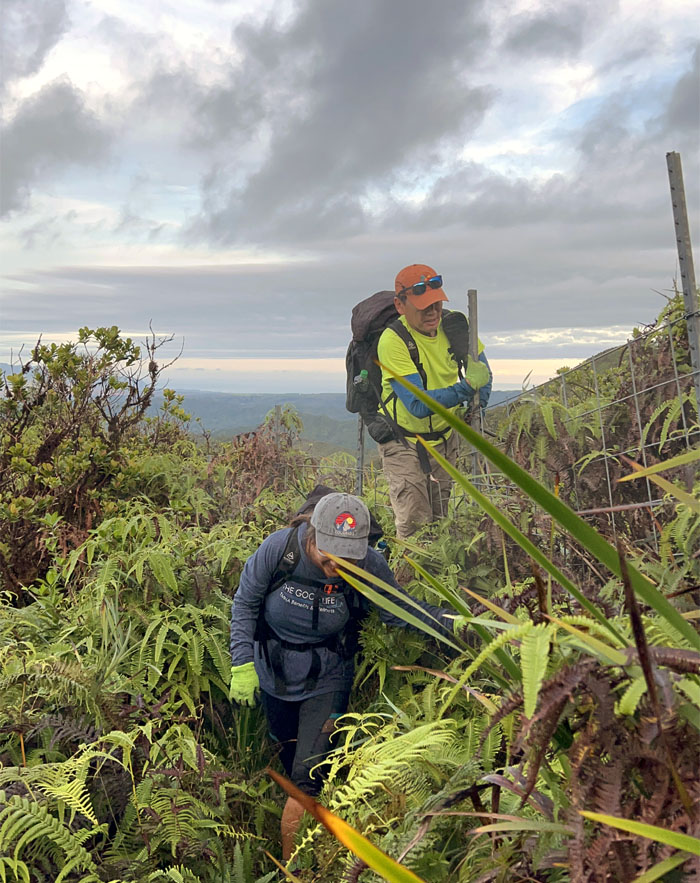
One of our last of multiple fence crossings on the trail.
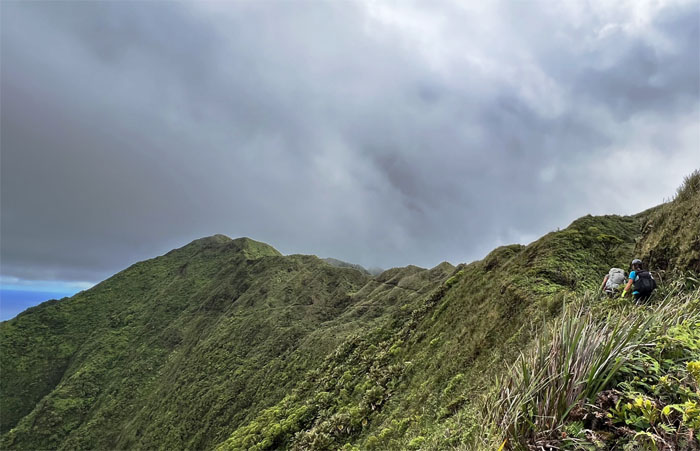
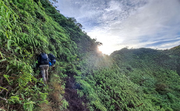
Hugging the uluhe carpeted mountain as we made our way on the trail.
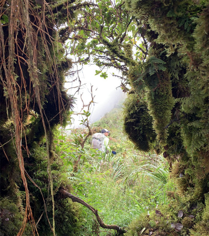
Picking our way through the trail riddled with false holes and shin and ankle high branches and roots.
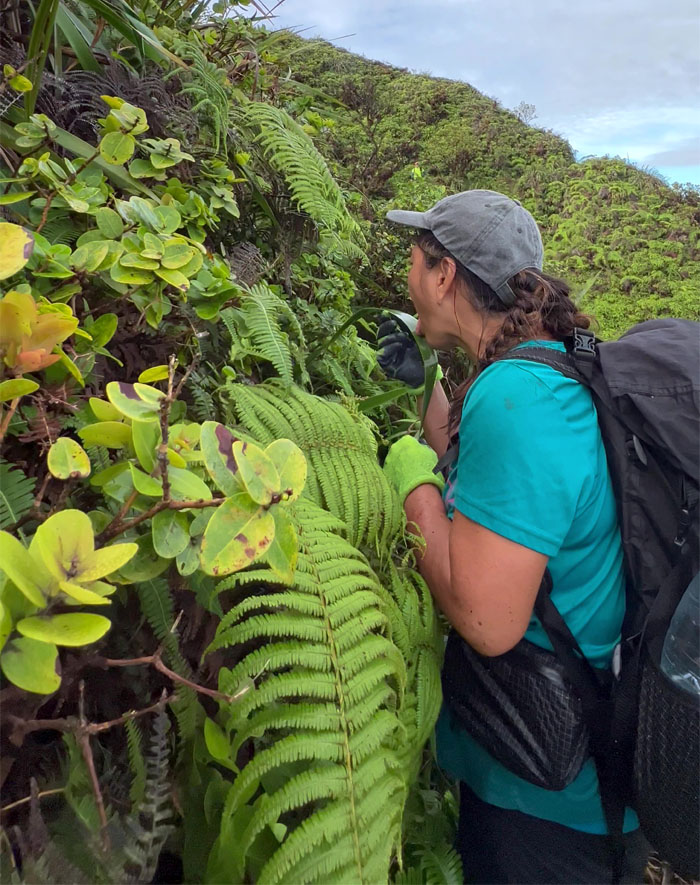
When you got to drink, you got to drink. Can you filter water from the leaves?
Arriving at the notch that marked our descent down into the grove of pine trees.
Looking back at Quan and Tessa at the notch.
Walking through the grove of Japanese sugi pine trees under the shadow of Waiahole summit.
Taking a break at the former site of Kipapa Cabin.
Climbing our way out of the grove of pine trees.
Where the KST becomes the KSRT.
Chris the goat, soon caught up with the group on the trail.
We left the mountain meandering behind us, as it was just straight up hiking on top of the mountains from this point on.
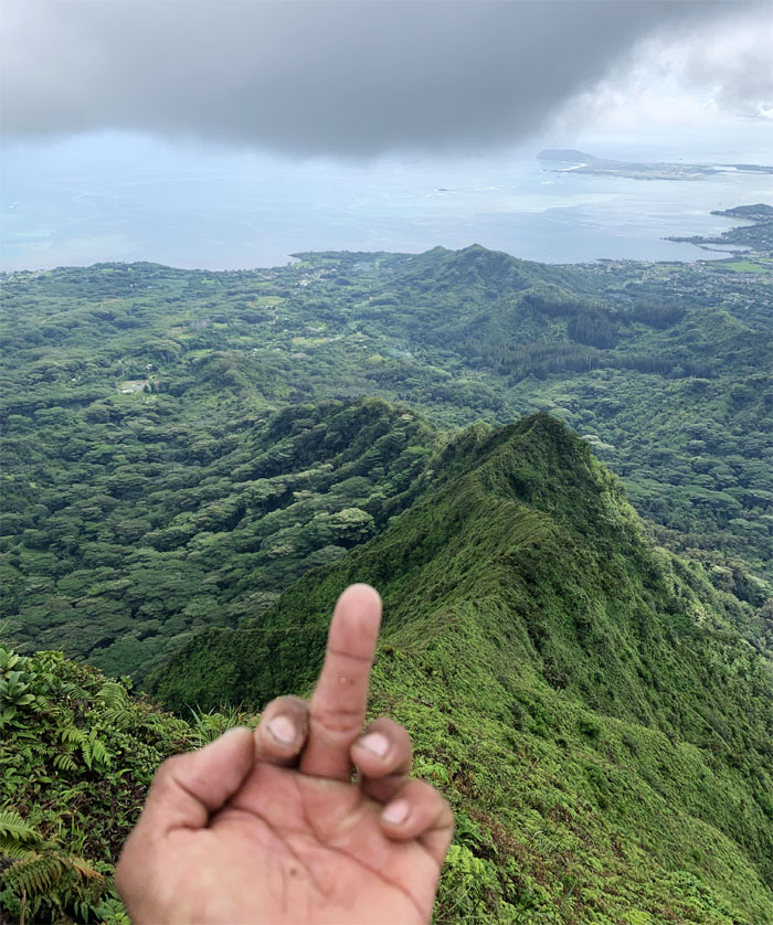
Chris expressing his feelings about this windward ridge that we had climbed over five years ago.
The walking wounded.
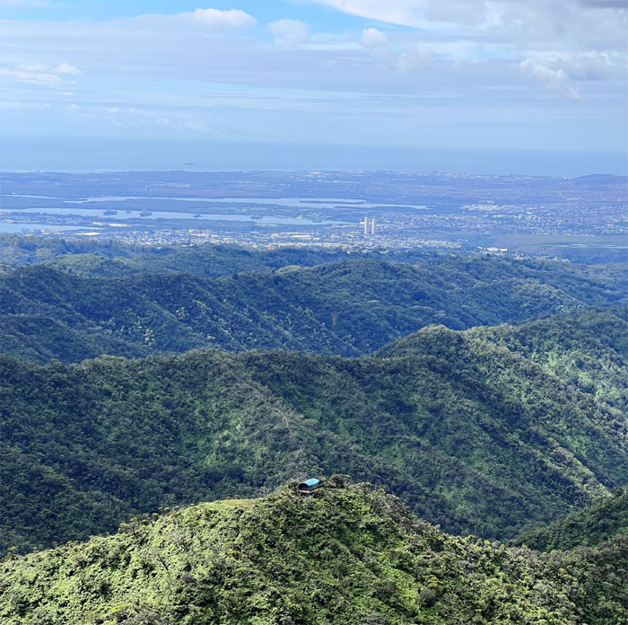
Looking down at another cabin off the KST sitting on a spur ridge. Hmmm.
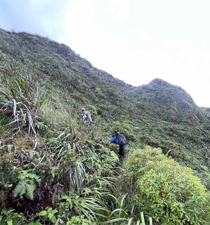
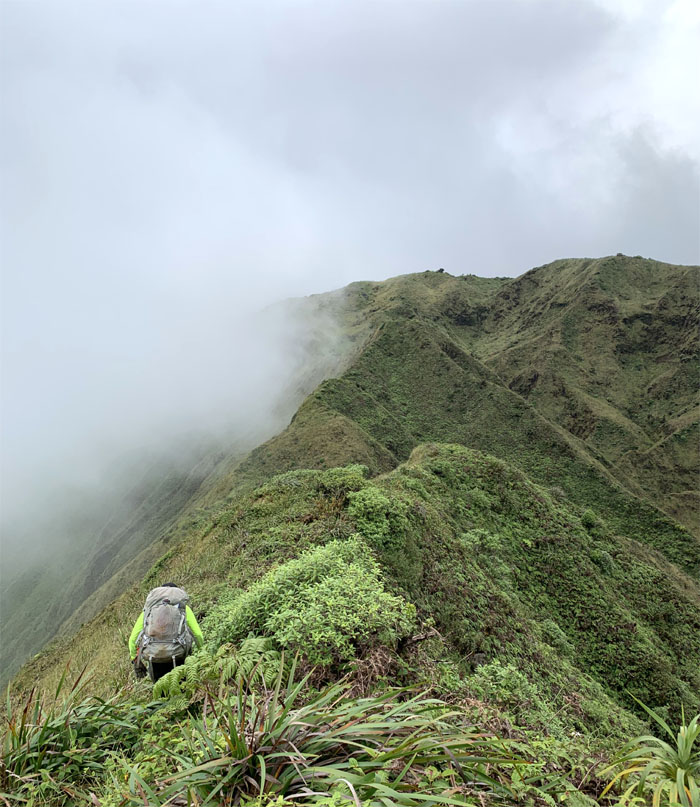
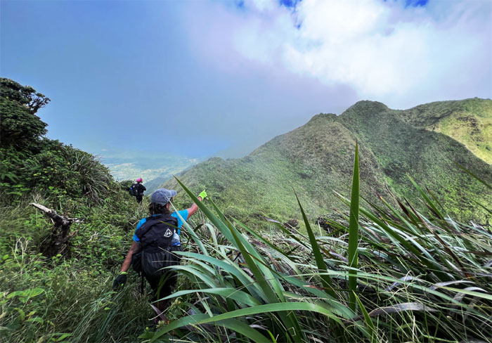
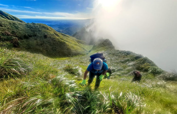
The trail soon turned into a cardio rollercoaster. Big hills. Up and down. Repeat until finished.
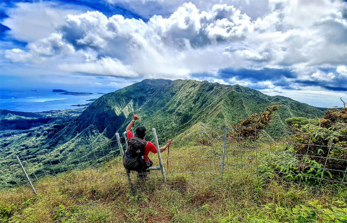
Chris going through the gate that leads to the saddle known as Waiawa Gap.
Dropping down into the saddle.
Climbing our way out of the low point. No bees reported.
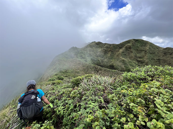
Hills. Let’s take a break. Drink water. Don’t tell me what to do.
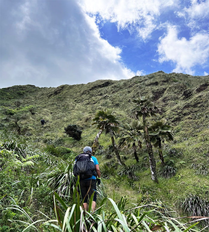
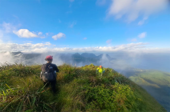
More hills.
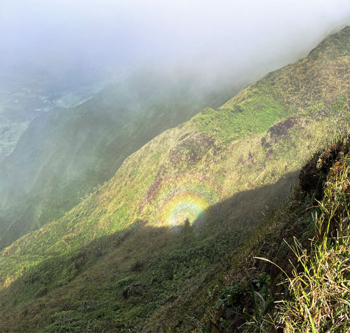
Looking down at a broken spectre, a natural phenomenon that happens when one is looking down from a misty ridge with the sun behind their back.
Quan pointing to our water filling station in the mountains.
Alexis passing through the tree tunnel that leads down to the creek.
For some of us, reaching the water source couldn’t have come soon enough.
The rest of us making our way towards the upper creek, one soggy step at a time.
Replenishing our water stocks. With increased water comes increased weight.
What’s for lunch? Saimin with chicken is what’s for lunch.
Sun worshippers.
Climbing out of the creek bed with water in our tummies and on our backs.
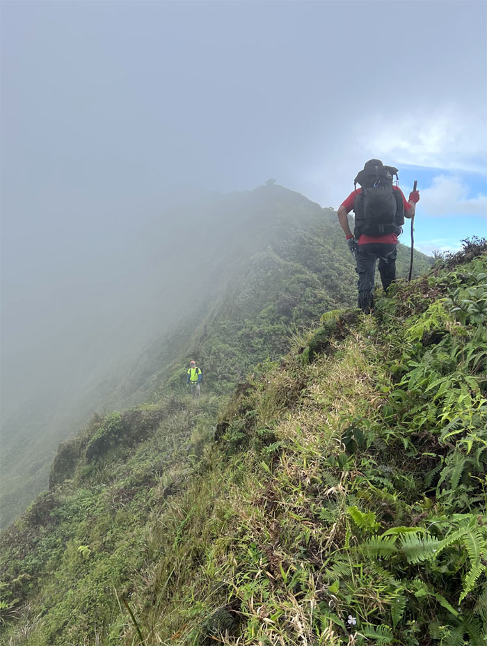
Hiking up and around what can be a confusing junction when socked in. Not so much today.
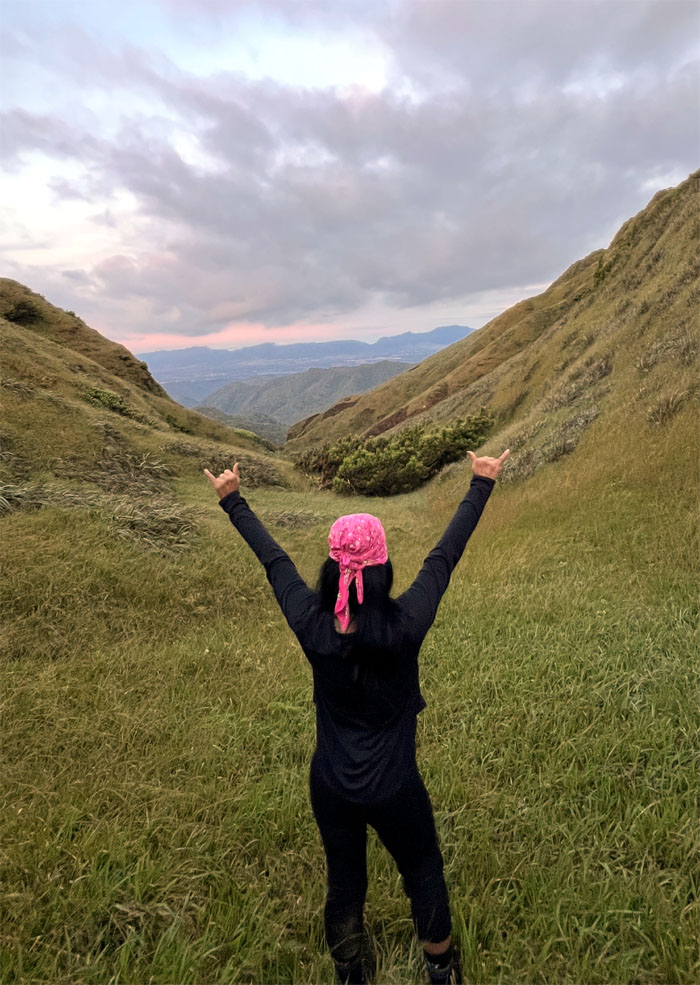
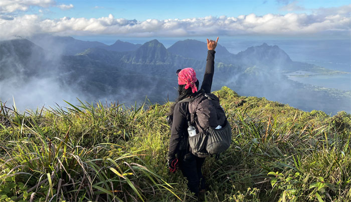
Tessa hanging a shaka towards the cloud frosted peaks and valleys we had left behind.
Yes, I know I can take my own shadow picture. But I would like you to take it. Aye aye Captain.
Chris catching a clear and cloudy view of the corner.
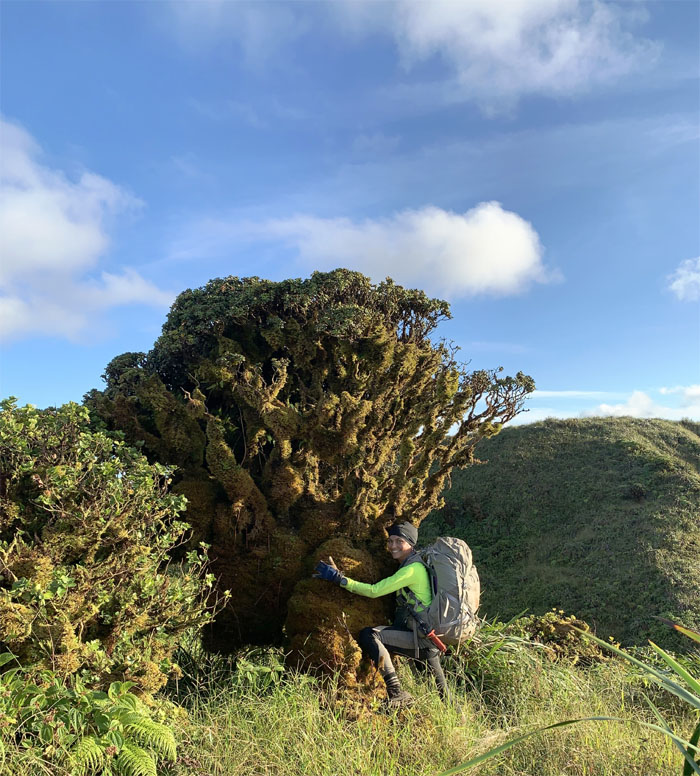
Tree hugger.
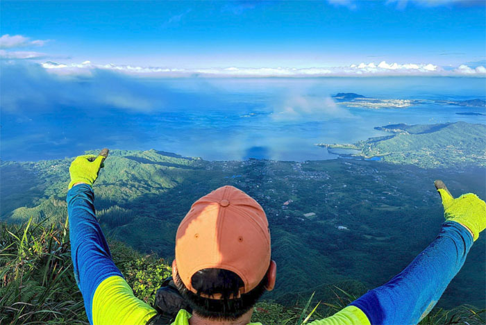
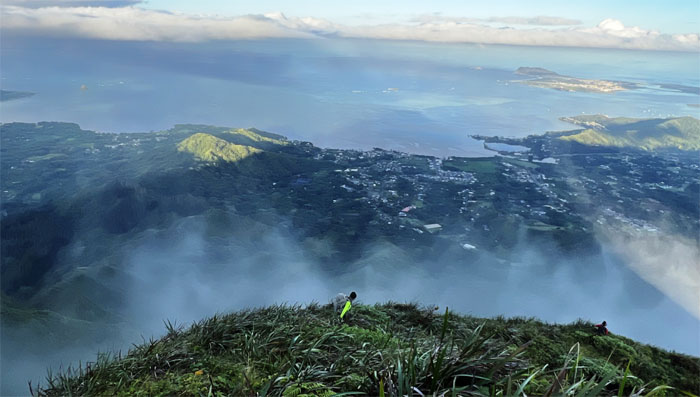
Looking out towards the largest sheltered body of water in the islands.
Hiking towards our last summit of the weekend.
Heading to the summit. That is the summit. I don’t care what you say.
Scrambling the last few hundred feet to the top.
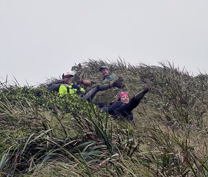
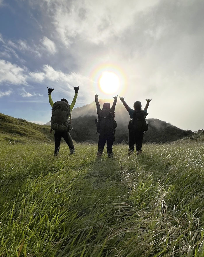
A rather dramatic expression of how we all felt after arriving at the 2,660′ summit that marked the end of our KST weekend traverse.
Our last group photo after somebody regained their composure from overacting.
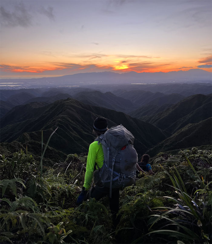
Catching the golden hour as we left the massive knob.
Shedding light on our way down the 5.5 mile ridge trail.
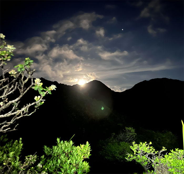
Looking back at the mountains as the moon began its rise towards the heavens.
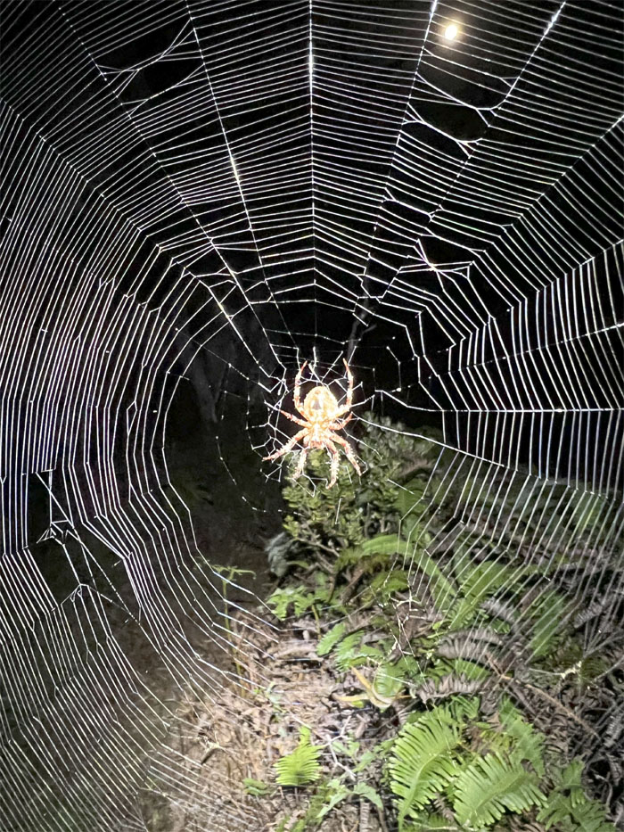
The arachnid burning the midnight oil as it instinctually weaved its geometric web, that is considered a engineering marvel that serves as its home and a food trap.
A big thanks to Art who had hiked up the trail to meet us with pork hash and assorted drinks. I think I want a soda. Oh, was I thinking out loud?
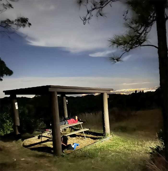
Wakey wakey, eggs and bakey. Don’t hit your head on the way down from the bench.
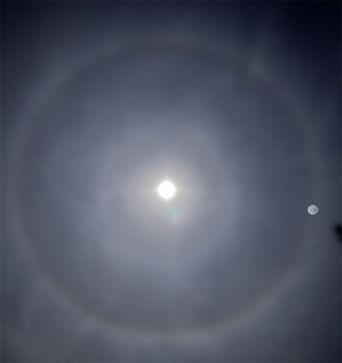
Looking up towards a moon ring, which is another atmospheric optical phenomenon that is formed by moonlight being refracted from suspended ice crystals. There was a planet in the orbit of the moon ring, not sure if it was Mars or Venus. I flunked astronomy.
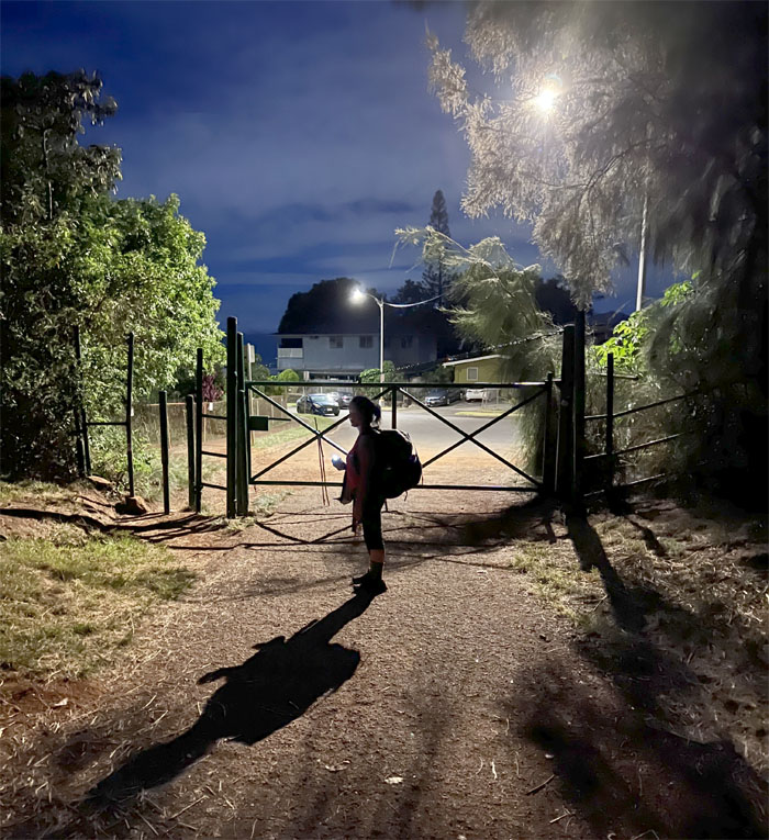
We came down to the trailhead in the dead of night with no chance encounter with the resident homeless who supposedly likes to get too close for comfort.
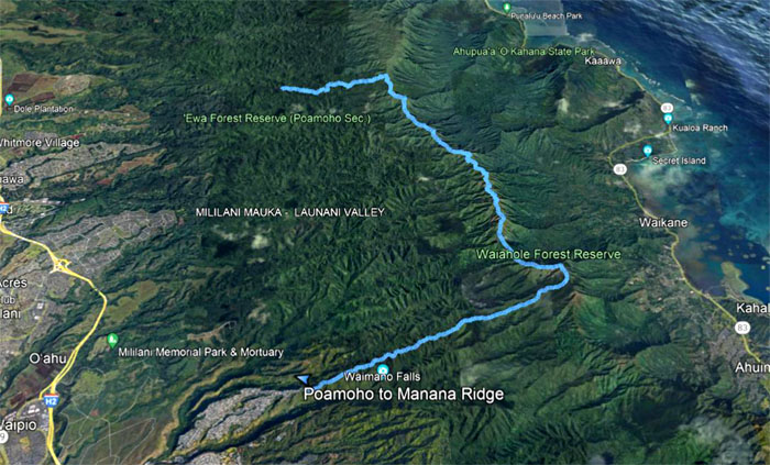
Our weekend hiking covered almost 17 miles through the country country of the Northern KST with fun company.
Post hike meal was at the Pearl City Drive-Thru McDonald’s. That’s what happens when you finish late. You can’t be picky about your food choices.
Photos taken by Alexis Catarina, Chris Bautista, Quan Haberstroh, Tessa Bugay and yours truly. Not necessarily in order.
Note: I have been made aware that some hikers have been using my blog as a hiking guide and getting lost on the trails. Please note that this blog was made to document the hike for the crew(s) that did it. That is why some of my comments will seem to have no relevance or meaning to anybody outside of the crew(s) that hiked that trail. My blog was never meant as a hiking guide, so please do not treat it as such. If you find inspiration and entertainment from these hikes, that is more than enough. If you plan on replicating these hikes, do so in the knowledge that you should do your own research accordingly as trail conditions, access, legalities and so forth are constantly in flux. What was current today is most likely yesterdays news. Please be prepared to accept any risks and responsibilities on your own as you should know your own limitations, experience and abilities before you even set foot on a trail, as even the “simplest” or “easiest” of trails can present potential pitfalls for even the most “experienced” hikers. One should also always let somebody know of your hiking plans in case something doesn’t go as planned, better safe than sorry.






{ 2 comments… read them below or add one }
Whoah! That was a longggg, tiring and fun hike… But with the awe inspiring views along the way, I not complaining LOL
Thank you Kenji
Aloha Tessa,
Yup long weekend tempered by great weather.
Mahalo