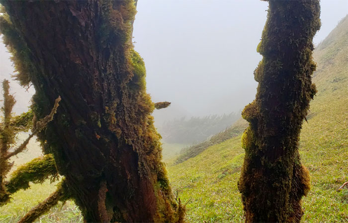
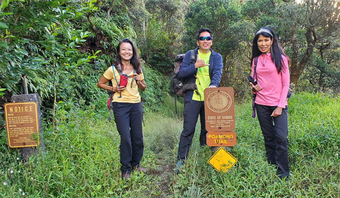
I found myself in the company of Aida and Lilyn and back in the wild country of the Northern KST on Kamehameha Day. Not a bad way to spend the holiday. Maybe I spoke too soon.
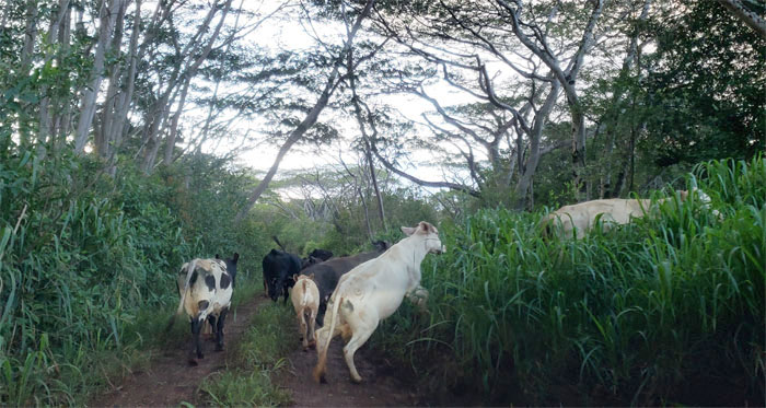
Who needs a cattle dog when you have a Toyota 4Runner.
Thanks to Edgar for driving us up the jeep road and whose parting words were that he would check on our cars the next day. Little did we know how true his words would turn out to be. Photo by Edgar Gamiao.
The summit looked clear and promising as we set foot on the graded and cleared trail.
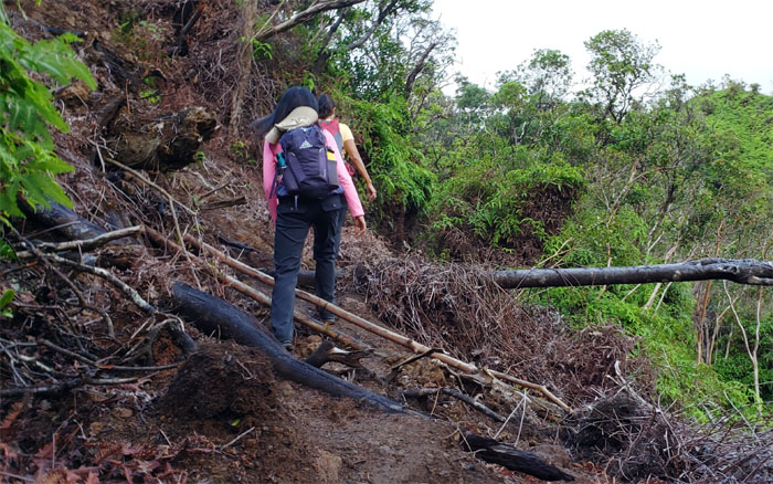
Stepping over a small blow down. Little did we know it was going to be a primer for bigger things down in the valley.
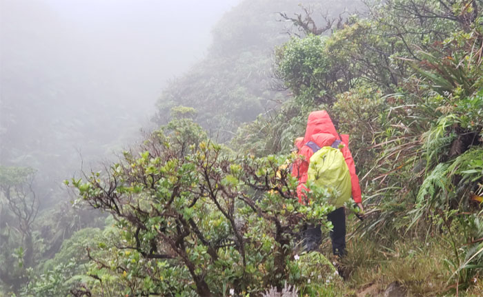
Heading into the pea soup gulch. So much for the views at the top.
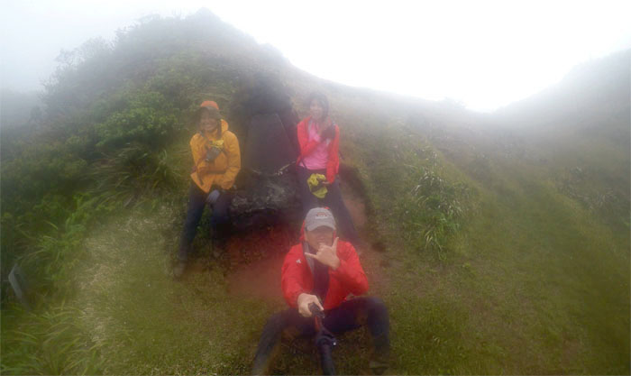
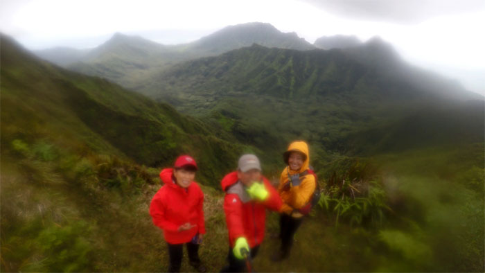
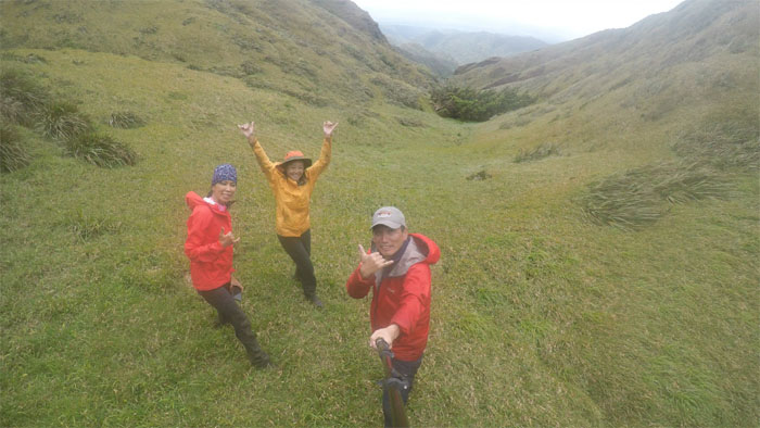
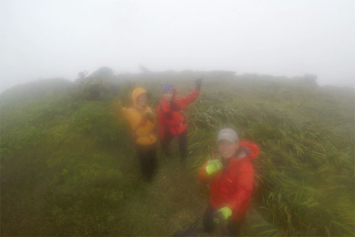
The winds were blowing something fierce at the summit and visibility was near zero. So we settled for our group shot at the somewhat sheltered spot. I should’ve wiped the condensation off the lens.
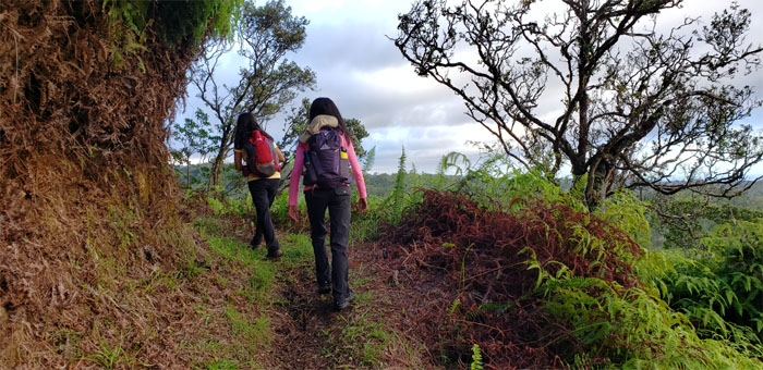
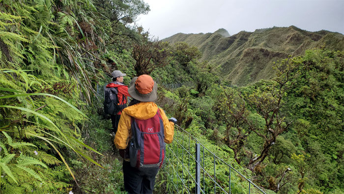
Aida and Lilyn making their way on the board walk.
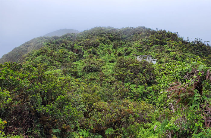
No stop at the cabin today. Speed was of the essence today and not shelter. Photo by Aida Gordon.
Seeking temporary refuge on the Leeward side from the battering winds. Photo by Aida Gordon.
We got treated to magnificent vistas as we stepped foot on the “runway.” Photo by Lilyn Avendano.
The girls leaving the last gate on the trail behind us.
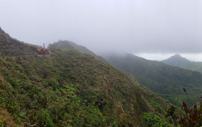
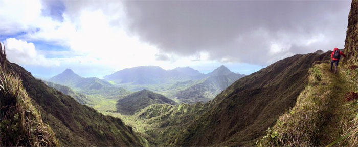
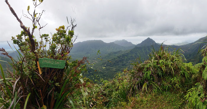
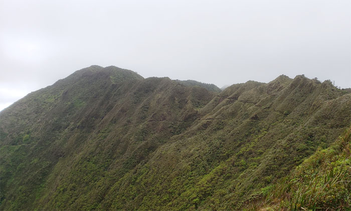
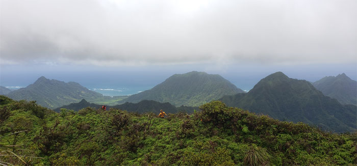
Panoramic view of Kahana Valley and points beyond.
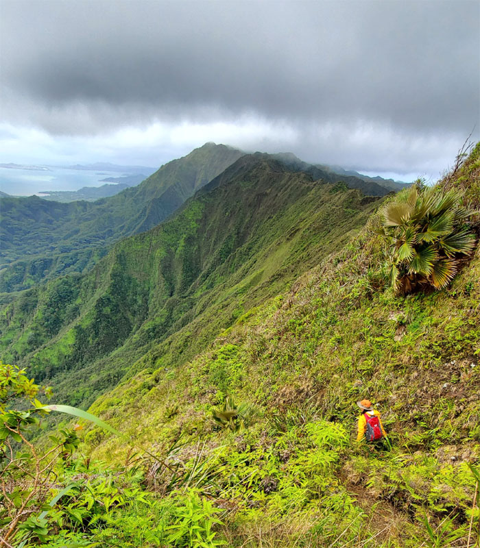
Following the trail as it contoured and dropped below the ridge line. Photo by Aida Gordon.
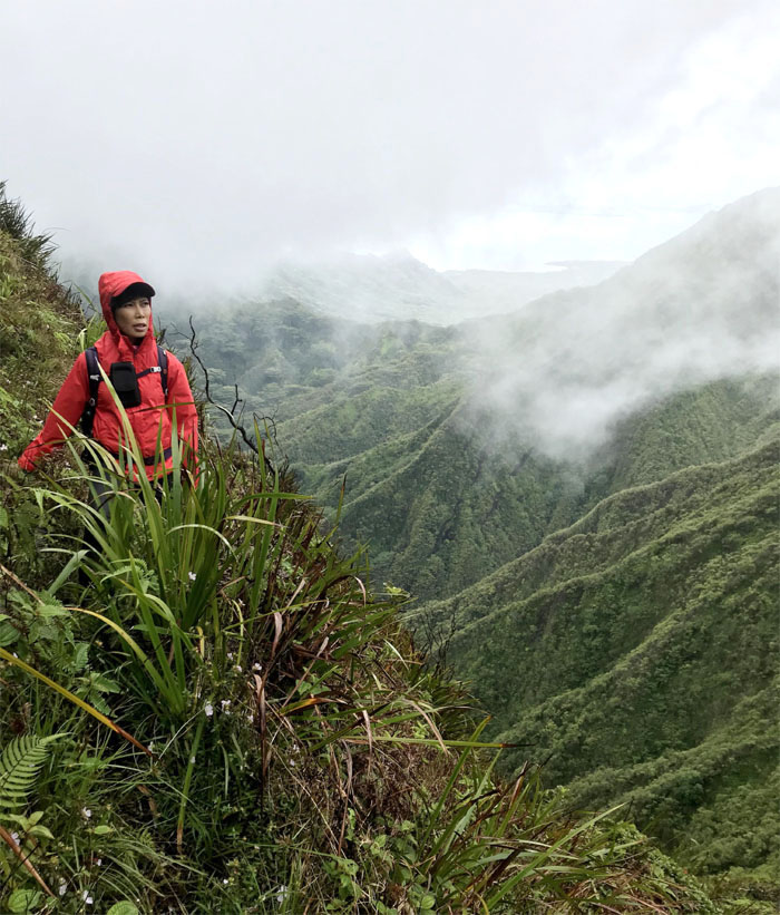
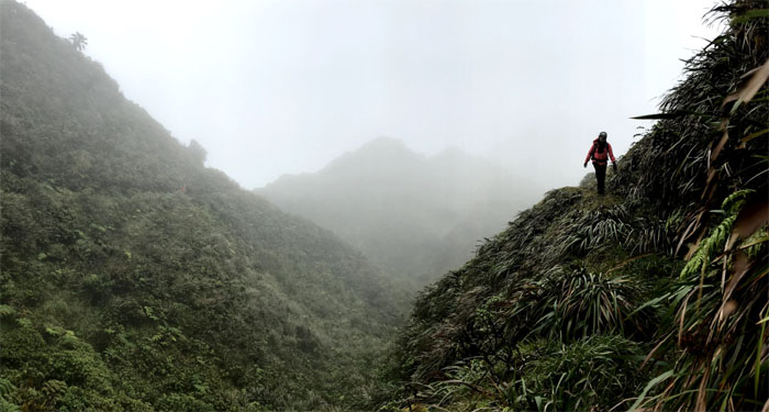
Misty mountains. Photo by Lilyn Avendano.
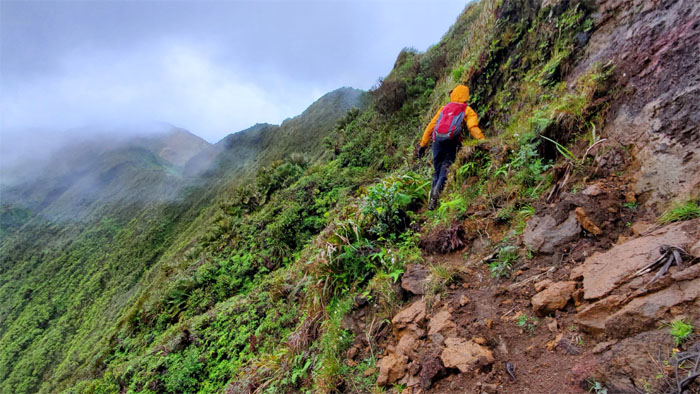
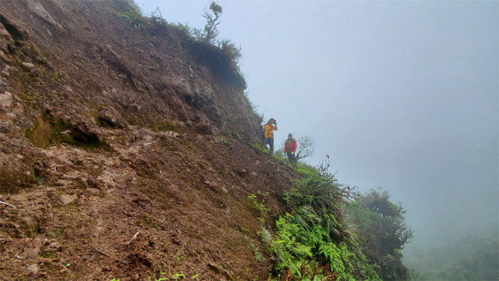
Lilyn crossing over one of many land slides on the trail. Photo by Aida Gordon.
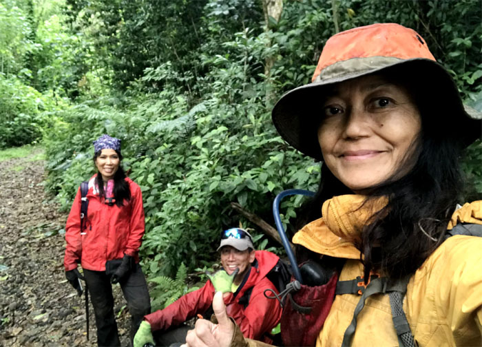
Group photo with Kahana Valley and all her peaks. I should’ve wiped the condensation off the lens. Slow learner.
Lilyn coming around the sheltered side.
Looking ahead to the junction. Don’t blink or you’ll miss it.
When the wind hits you in the face like a Chicago pizza pie.
Crossing over one of the bigger land slides on the well trodden path. Photo by Aida Gordon.
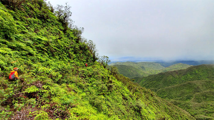
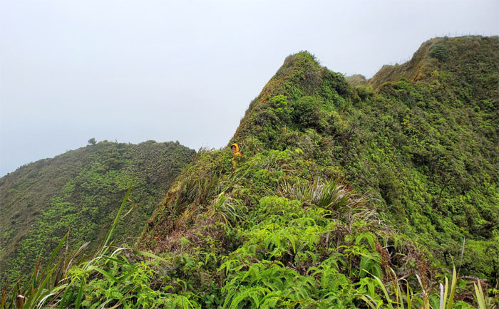
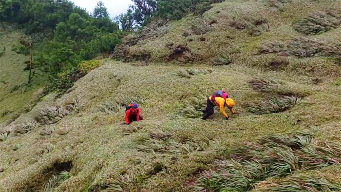
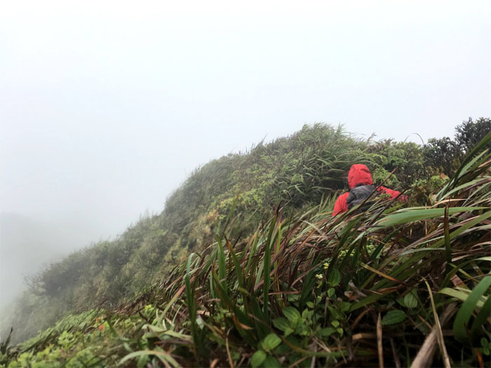
Hiking on the Leeward side offered a reprieve from the whipping winds but in exchange we had to deal with overgrowth and many false holes. Photo by Aida Gordon.
Spoke to soon? Somebody was saying something about false holes? Lilyn helping Aida get back on the trail.
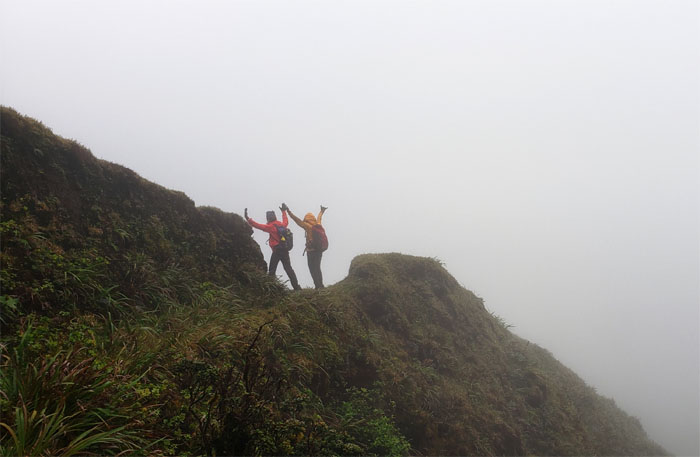
The bipolar weather followed us on the ridge line. Clear. Cloudy. Clear. But the gusting winds kept us company throughout the hike.
Switching back to the Windward side. Photo by Aida Gordon.
Psst. Over here. Navigating the twists and turns of the trail.
Aida making her way on the Leeward side. Photo by Lilyn Avendano.
Why can’t the whole trail be like this? Then it wouldn’t be fun otherwise known in some circles as character building.
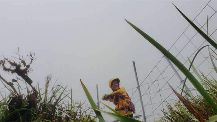
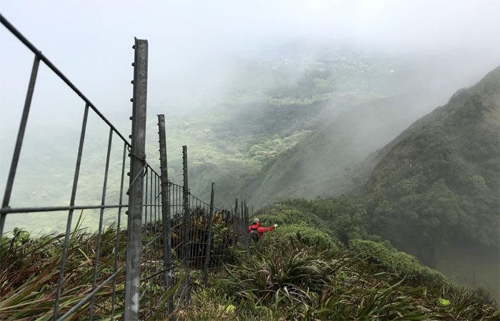
Following the fence line down to the cloud soaked meadow. Photo by Lilyn Avendano.
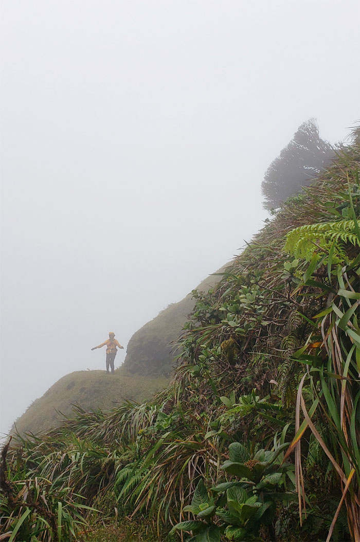
Capturing a rare moment when the backdrop views against the horizontal tree presented themselves. The condensation cleared up.
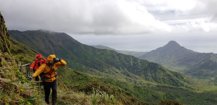
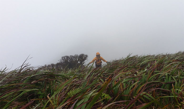
The winds seemed to blow us every which way but up. The struggle was real.
Passing through another grove of sugi pine trees.
The girls passing through the notch which meant that we were close to the base of the summit. The cross over was finished, now we had no idea what lay in store for our descent. Surprises can be a good thing. Not on this hike.
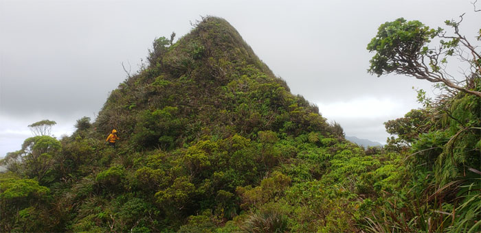
Climbing up to the summit I last visited over four years ago. I was in for a big surprise.
The winds seemed to have picked up in intensity at the boggy summit. The condensation came back.
The socked in summit, gale force winds and heavy overgrowth had me second guessing if we were on the right ridge. We eventually came across faded ribbons which gave us assurance. Photo by Lilyn Avendano.
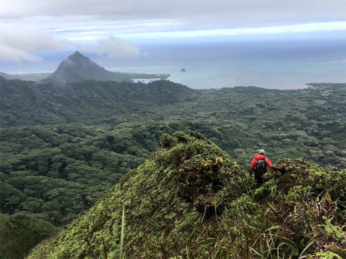
The clouds soon cleared revealing the lush and green Waiahole Valley. Photo by Lilyn Avendano.
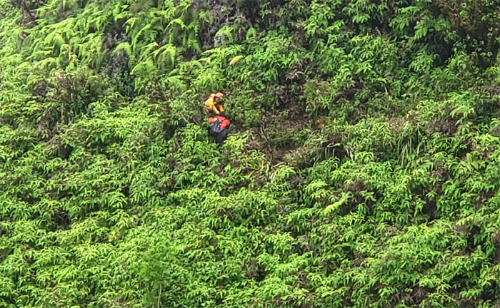
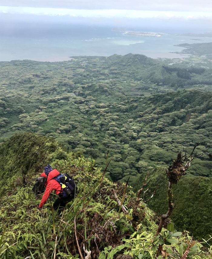
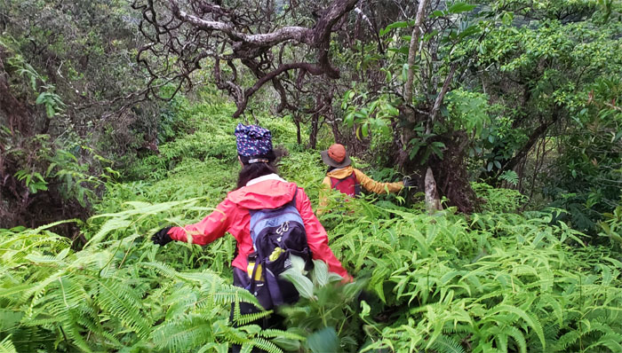
The overgrowth seemed to increase in density as we dropped in elevation. Photo by Lilyn Avendano.
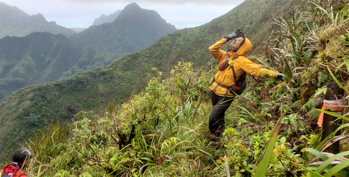
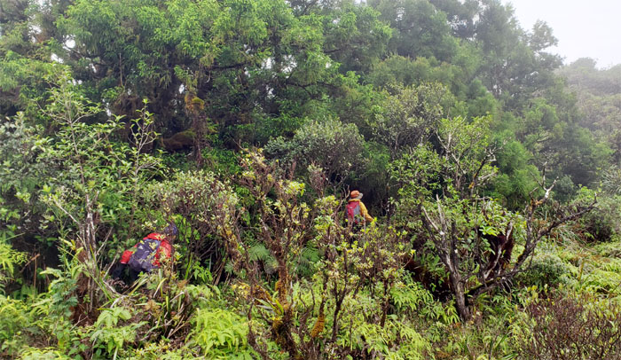
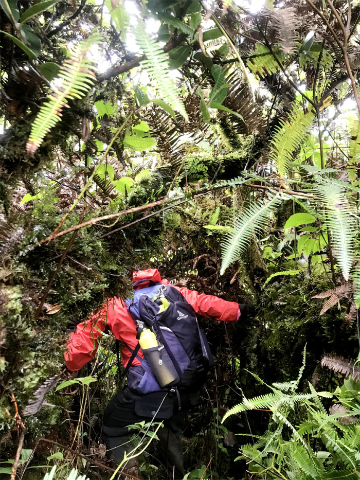
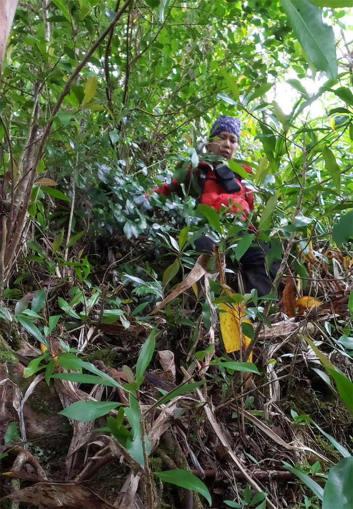
Lacking clearing tools, we had to use our body weight and appendages to force our way through the uluhe ferns and vines that masked the ridge and drop offs. Photo by Lilyn Avendano.
Lilyn going down the second rope section.
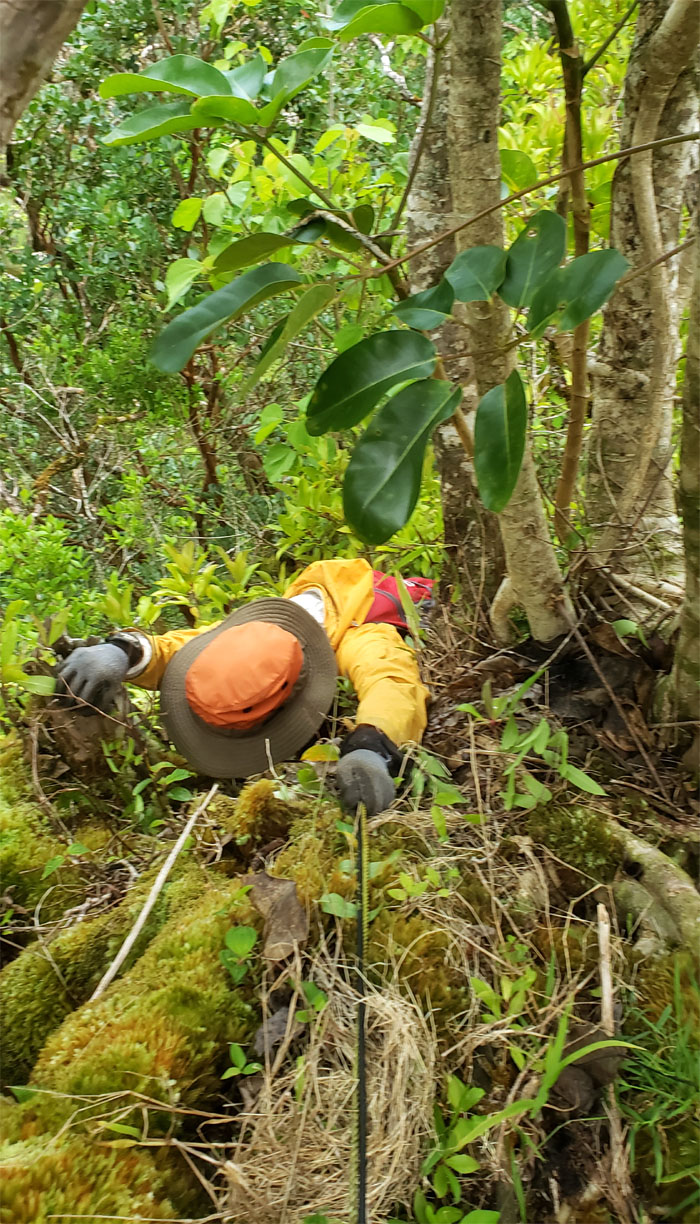
Vines served to impede further progress on the ridge. Just ask Aida.
Last picture of the day before we got swallowed up by the head high uluhe ferns. We slid off the insanely overgrown ridge as darkness hit the valley floor. Lights on. It was a perfect storm of washed out trails, massive blow downs, and overgrowth as far as our headlamps could illuminate. We knew East was the way out, but our GPS kept returning mixed signals. Props to Lilyn for her dogged determination to find our way out as she had teeth to pull the next day. But the dragging time and the fact we were tired to the bone, took its toll so we eventually just took a nap on the trail itself until sunrise to shed some light on our way out.
We were awakened from our short slumber by the rising sun around 0530 and discovered that the trail was directly across us. Daylight can bring such clarity to the subject at hand.
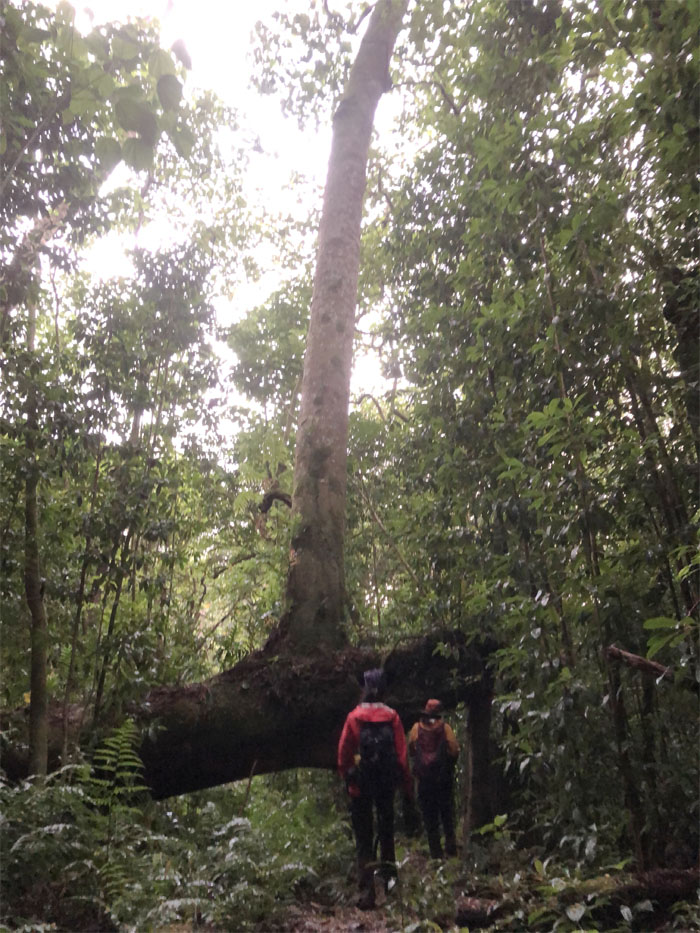
Passing underneath the tree that was both horizontal and vertical.
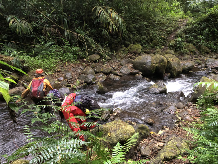
Getting our feet wet.
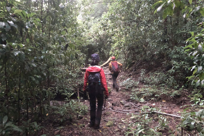
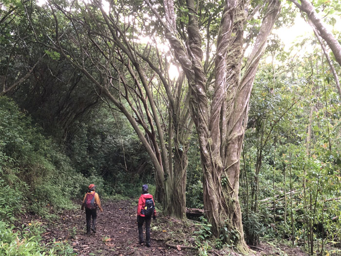
Now we can enjoy and appreciate the valley trail. Look at all these trees! And they’re not blocking the trail!
A big shout out to Quan who came and picked us up bearing gifts of KFC, hot and cold beverages and drove us back to Mililani to recover our cars where we met Edgar “self-fulfilling prophecy” Gamiao washing his car.
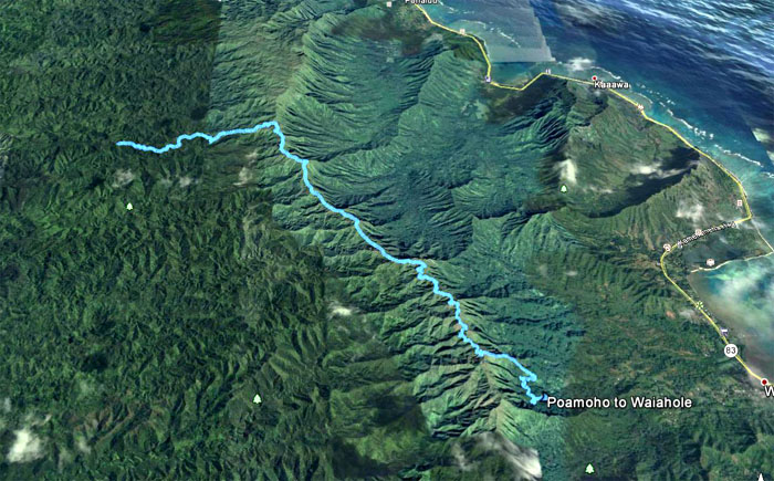
Our exhilarating and exhausting hike all rolled up into two days covered 13.7 miles through spectacular scenery (when it presented itself) and a descent down an insanely overgrown ridge and valley with an amazing bunch that never gave up. Now it was time for us to go to work on one hour of sleep.
Note: I have been made aware that some hikers have been using my blog as a hiking guide and getting lost on the trails. Please note that this blog was made to document the hike for the crew(s) that did it. That is why some of my comments will seem to have no relevance or meaning to anybody outside of the crew(s) that hiked that trail. My blog was never meant as a hiking guide, so please do not treat it as such. If you find inspiration and entertainment from these hikes, that is more than enough. If you plan on replicating these hikes, do so in the knowledge that you should do your own research accordingly as trail conditions, access, legalities and so forth are constantly in flux. What was current today is most likely yesterdays news. Please be prepared to accept any risks and responsibilities on your own as you should know your own limitations, experience and abilities before you even set foot on a trail, as even the “simplest” or “easiest” of trails can present potential pitfalls for even the most “experienced” hikers.

{ 8 comments… read them below or add one }
Omg what an adventure! Won’t forget this! Can’t believe we went back and almost gone for Round 3. Props to you and Lilyn for hiking almost 24 hours..my light was fading…I hated climbing up and down those trees and crossing and recrossing the dam! 4x??? Still healing from that rock hit on my lower leg. Forever hating Waiaholy Hell lol.
Aloha Aida,
Yup what an adventure. Props to everybody for sticking it out to the end!
Mahalo
Another great write-up but there really was no way to sum up this once in a lifetime adventure!
Aloha Lilyn,
Thanks and it was you had to be there to experience type of hike. LOL.
Mahalo
Awesome hike and great writeup! It’s too bad that Waiahole Uka trail is so overgrown… It seems like it is difficult to access the KST section between Poamoho and Manana without an overnight stay.
Aloha Todd,
Thanks. Yes there are few access points between those two summits. Thanks for coming and helping to bushwhack last weekend.
Mahalo
Glad you guys were all safe.
Aloha Tessa,
Yes glad we all straggled out of that valley, a little late, but still safe and sound. lol.
Mahalo