Predictions of rainy weather over most of the island, found us looking for a dry trail to hike on the West side. Be careful what you wish for.
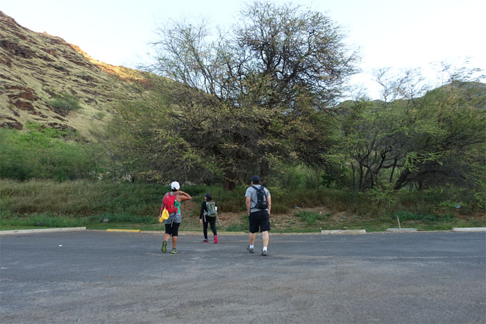
Met Glenn, Jasmin and Thessa in the parking lot across Makaha Beach by the pungent bathrooms. Jasmin knew of the Donkey Z trail that would get us to the ridge.
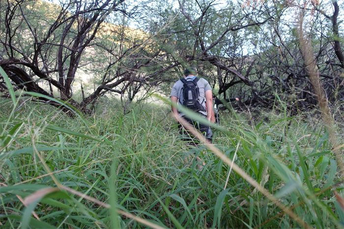
No donkeys sighted, so we just headed straight up to the ridge.
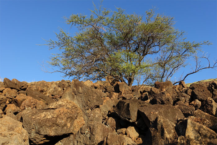
Rows of stacked rocks lined the uneven ground, that harked back to an earlier time.
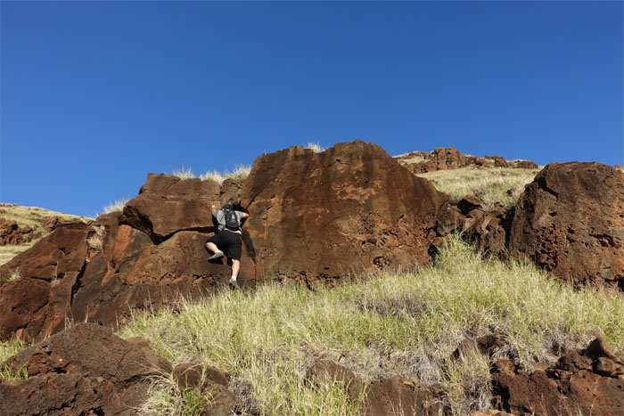
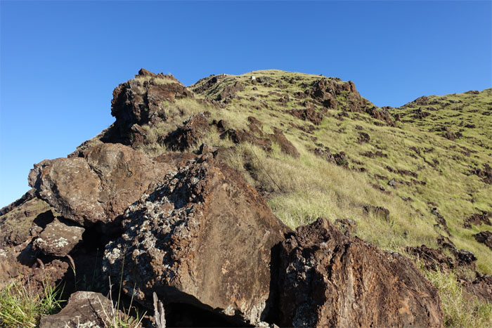
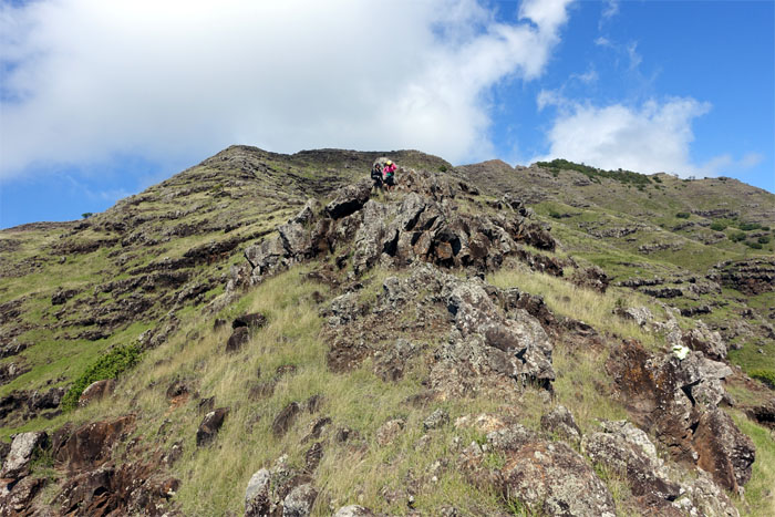
We climbed over big rocks…
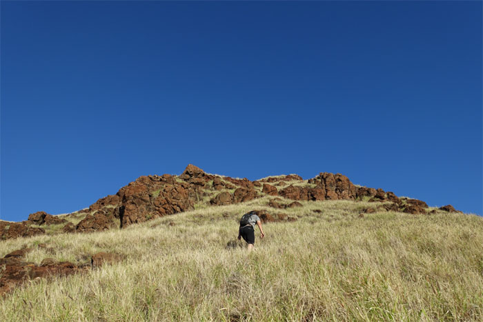
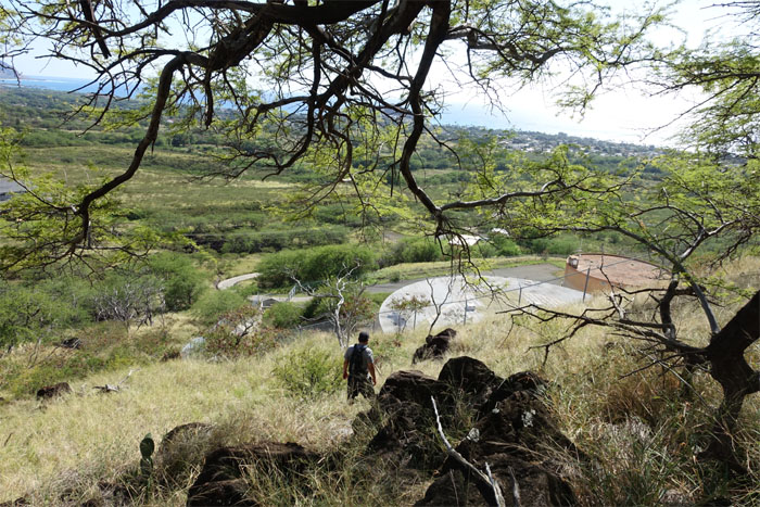
…and walked over little rocks in the dry grass.
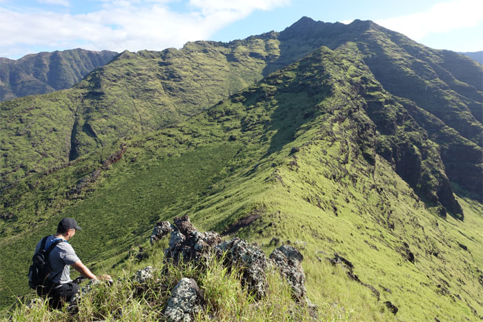
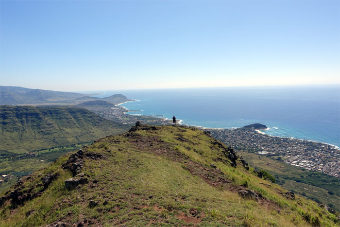
Thessa checking out the view of Makaha Valley and beyond.
The sun shined down unfiltered on the parched ridgeline.
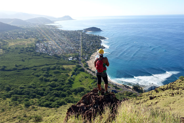
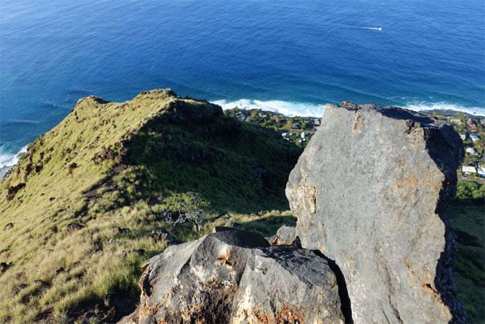
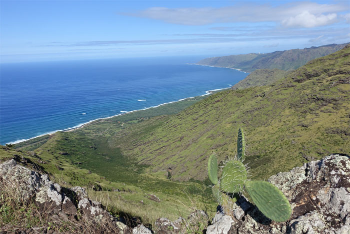
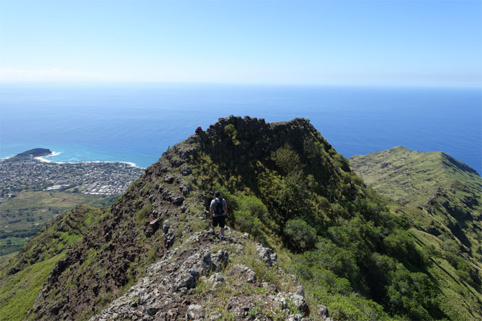
Looking down the ridge towards the ocean.
There was no shade, clouds or trade winds. It was turning out to be a hot Waianae hike. So much for winter.
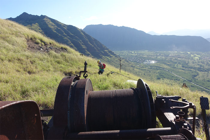
An abandoned motor and winch long baked into the ground.
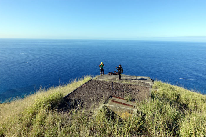
Thessa and Jasmin on the WW2 bunkers overlooking Makaha Beach.
Click here for the larger image spanning the North Shore to the Waianae side.
Glenn going down the slight slope towards the saddle of the ridge.
Jasmin and Thessa making their way down.
The grass was greener on the other side of the ridge.
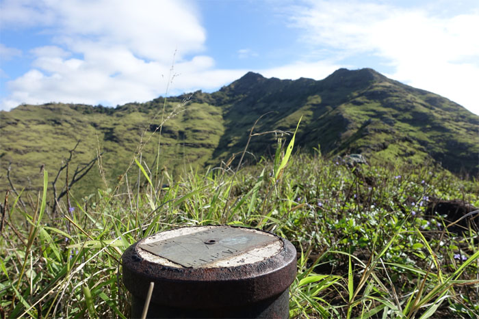
Unlike other geodetic markers I’ve run across, this one didn’t have the place name nor the elevation.
The first of few trees on the hot and barren ridge.
Looking towards the “golf balls” at Kaena Point.
The triangular summit of Kea’au on the left.
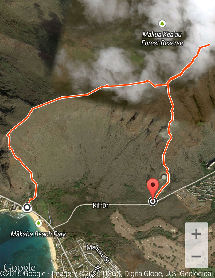
The junction we would use to go back down water tank ridge. The girls decided to wait here for us.
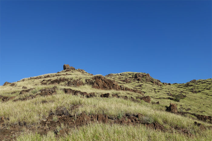
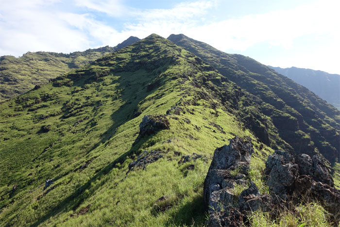
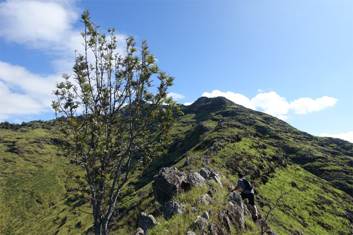
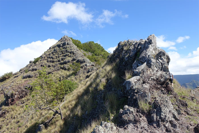
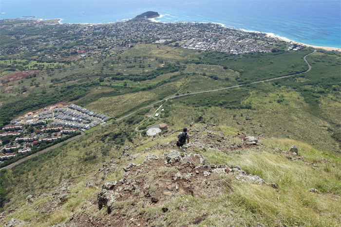
The ridge started to take on a slightly steep pitch.
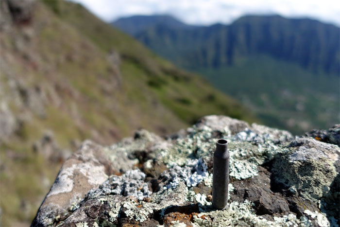
Bleating goats on nearby ridges explained the littered spent cartridges.
We did both.
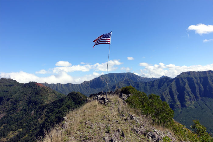
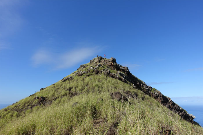
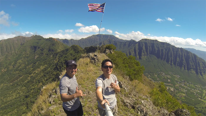
Glenn and myself at the 2,650′ summit.
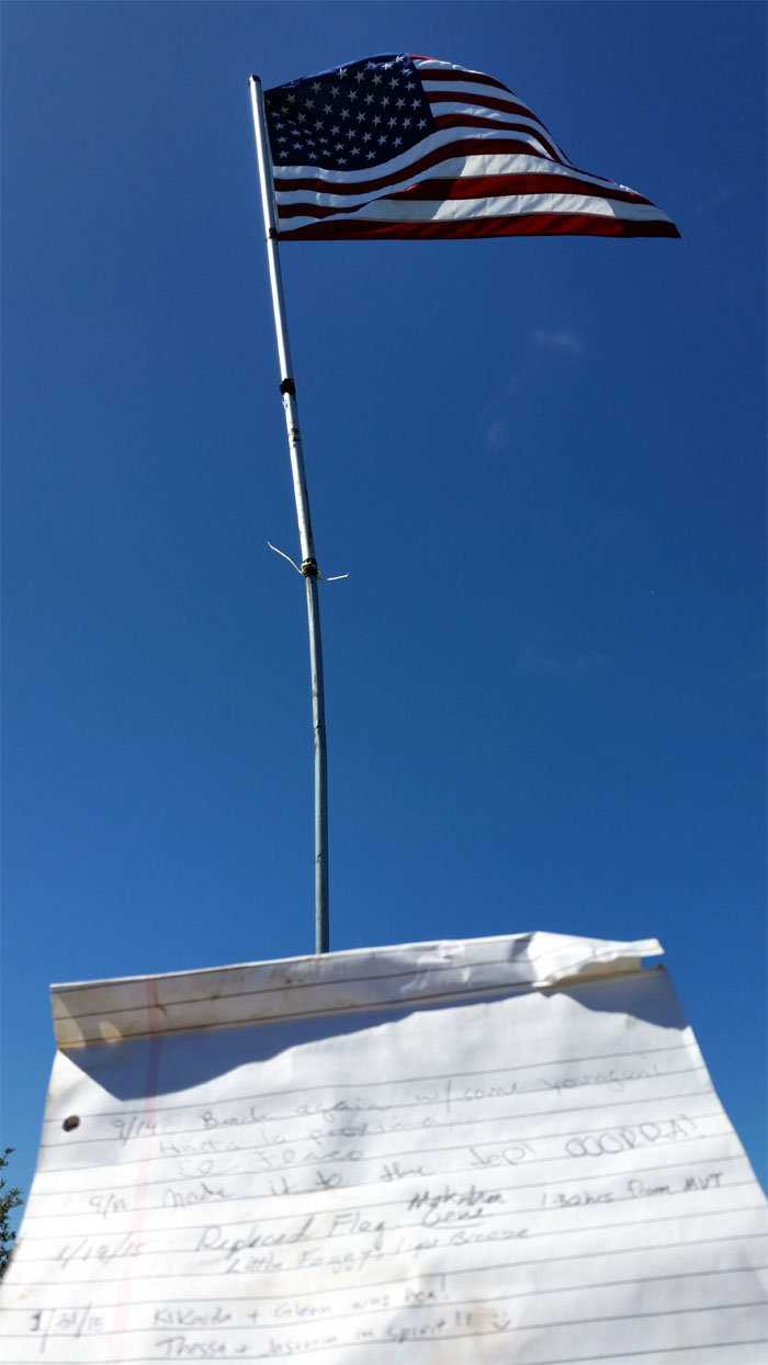
A slight breeze at the summit explained the fluttering flag. It wouldn’t last long.
Click here for the larger image.
We snacked and guzzled water before making our way back down to the junction.
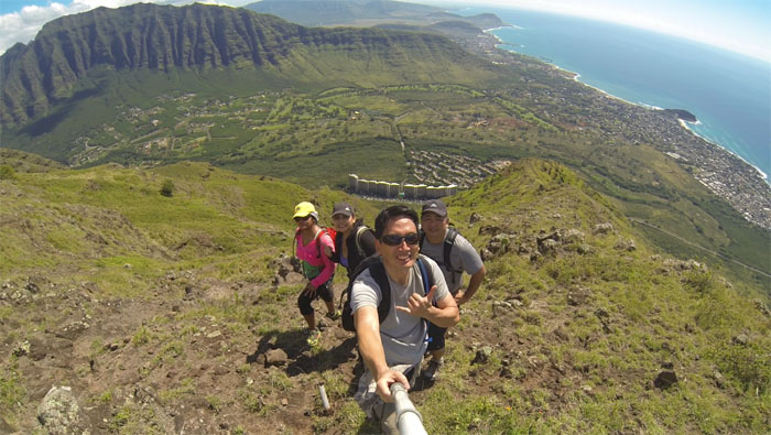
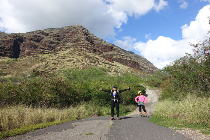
Group photo, with Makaha Towers in the background, left to right: Thessa, Jasmin, myself and Glenn.
Glenn checking out the view. Nice day. Hot day. Trade winds would have helped. Cloud cover too. But, you can’t have everything on a hike.
Jasmin and Thessa making their way down the ridge.
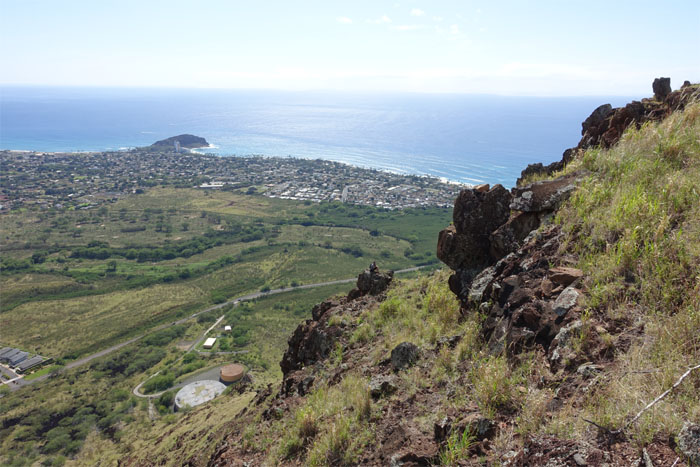
Glenn making his way down to the water tanks. So close, yet so far.
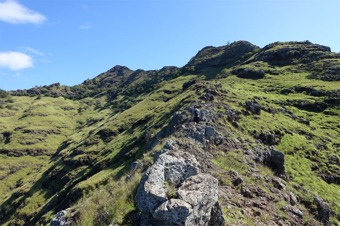
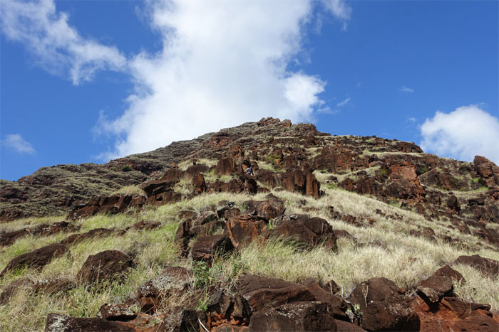
The ridge seemed to be in a constant state of erosion. Some sections looked fresh.
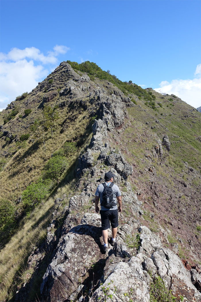
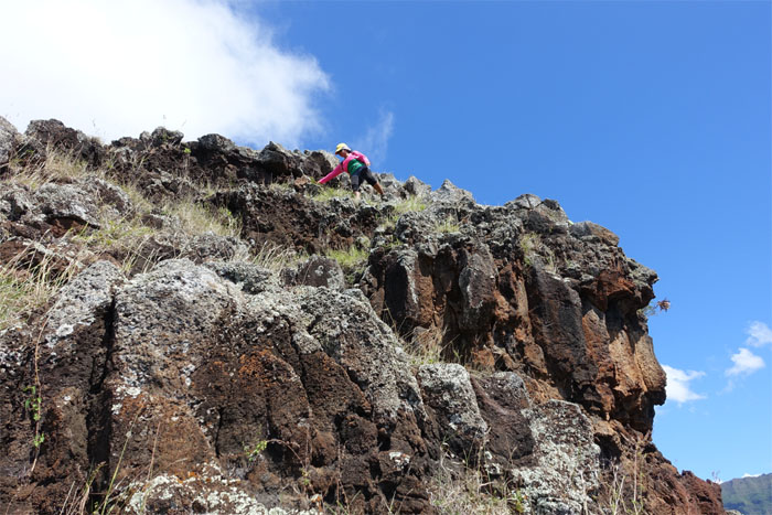
The last section of the ridge involved minor rock climbing…
…and lots of rock hopping.
The fence trail was a welcome relief from the rocky ridge we had just come down.
Glenn was nice enough to drive to the nearest 7-11 and grab us ice cold Cokes. Mahalo!
The hot and rocky hike covered 3.91 miles, made bearable with good company. Post hike meal at Tacos and More. Can’t go wrong with picking the Sea Bass. Extra side of salsa!




{ 6 comments… read them below or add one }
Thank you Kenji. Always enjoyed reading your blog. Keep up the great job
Aloha Thessa,
Thanks and always enjoy your company! So we’re even! LOL.
Mahalo
Thanks Kenji for all the blogs and keep up the good work. Enjoy all the hike with you too
Aloha,
Jaz
Aloha Jaz,
Glad you are enjoying them. Keep baking those ono muffins and cookies!
Mahalo
Kenji, you ‘re so nutz cruising on the westside with that “late” start in the morning. For westside hikes, we usually start just before dawn to cover more ground and summit the main ridgelines before the sun bakes the hell out of me and my crew….LOL. But I binge hike the westside during the winter months to take advantage of the cool weather.
Hey Baron,
It’s hard dragging people out of bed that early. LOL. Especially when they have to drive out to the West Side! Next time we visit the West Side, make sure we go before the chickens wake up!