Met up with Dale and Jasmin in Kuli’ou’ou Valley to piggyback on HTMC‘s hike. The club no longer congregates near the top of the street, but further down the trail road due to numerous neighbor complaints about the collective noise.
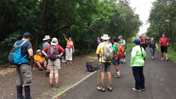
Hike coordinator, Barb, explaining the two different route options available to the group. Plan A was go up to Puu O Kona and come back down the same way. Plan B was go up to Puu O Kona and come down Kuli’ou’ou Ridge. We were going with Plan C.
Rich Bailey, the club’s unofficial videographer, making sure I am framing my picture correctly or just wants to be in the picture?
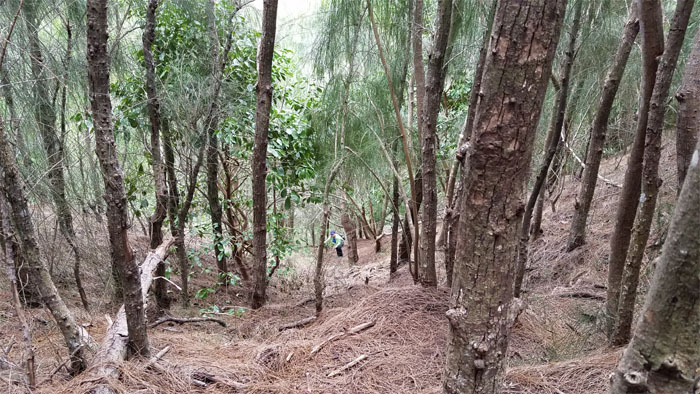
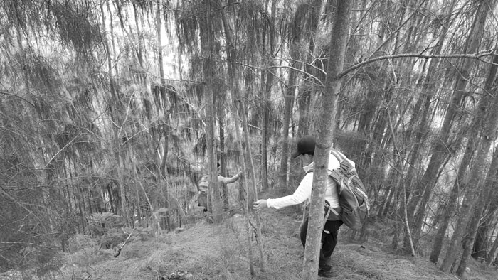
Jasmin making her way up through the carpet of matted pine needles.
Sweeping rain showers splattered our progress on the ridge.
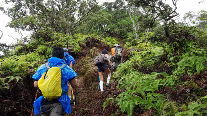
Going up the wide path that the HTMC trail crew had cleared weeks earlier. Kudos to these hard working men and women that keep the trails alive and well in the mountains.
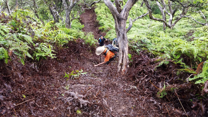
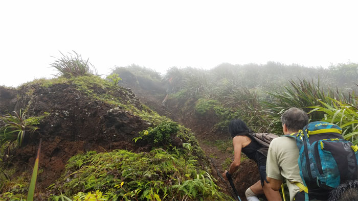
Working our way up the eroded section of the trail.
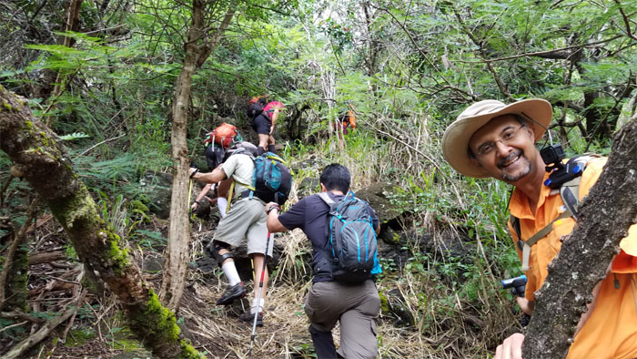
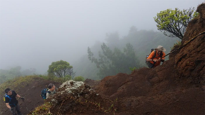
Rich showing exemplary dexterity by using his walking stick and the rope at the same time to pull himself up.
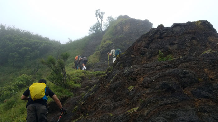
Almost to the 2,200′ summit.
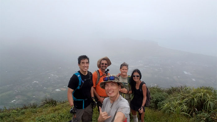
Group photo left to right: Stuart, Rich, myself, Don and Janice.
The group leaving me at the summit to continue the hike towards Kuli’ou’ou. I ate my lunch in solitude on the summit, waiting for Dale and Jasmin.
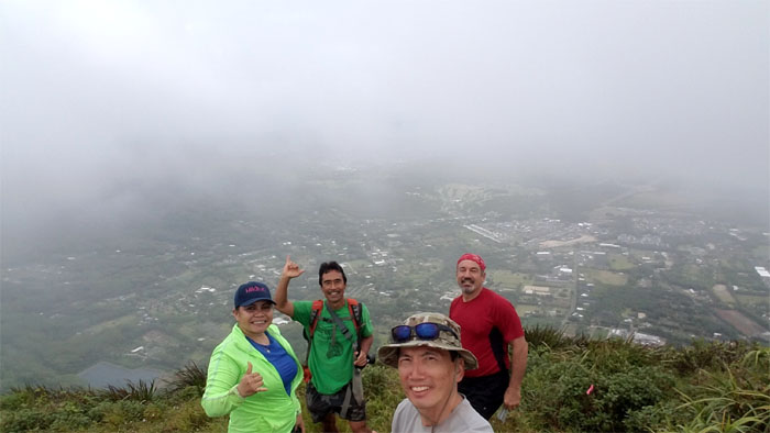
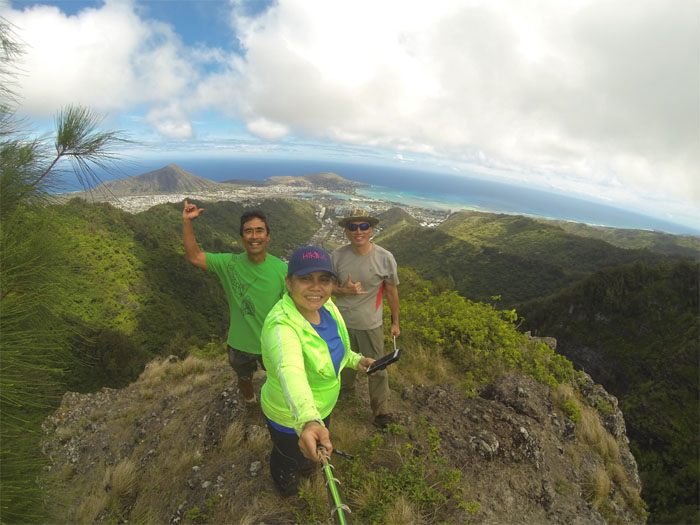
Reunited, group photo left to right: Jasmin, Dale, myself and Ralph, who swept Jasmin to the top.
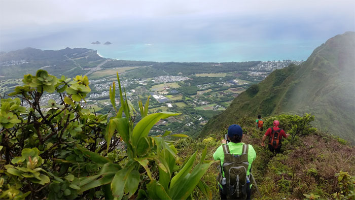
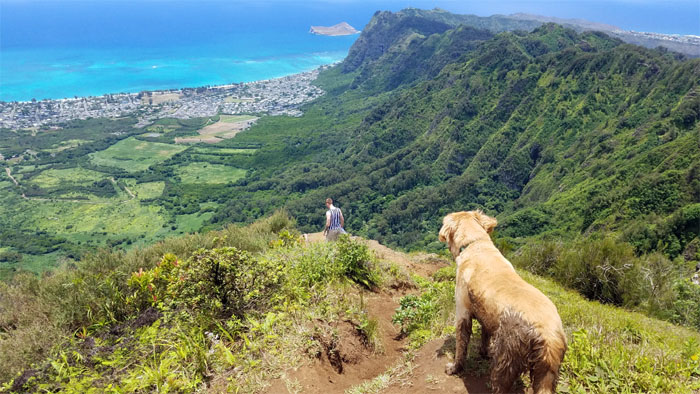
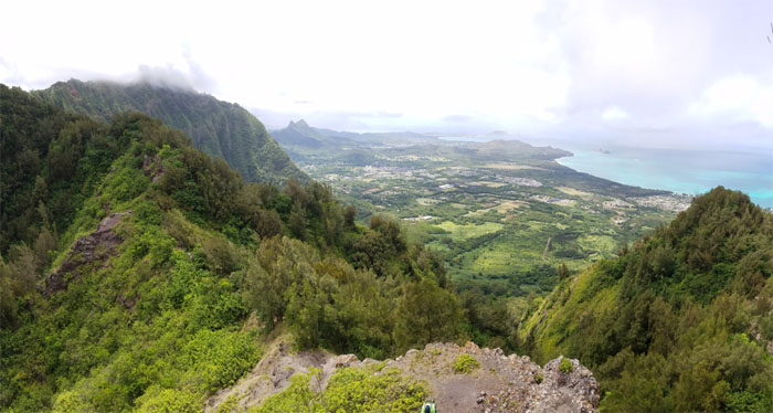
Perfect timing as we left the summit, the clouds blew over the mountains. Stunning views all around.
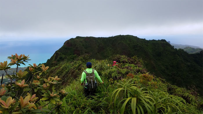
Taking a breather in between the ups and downs.
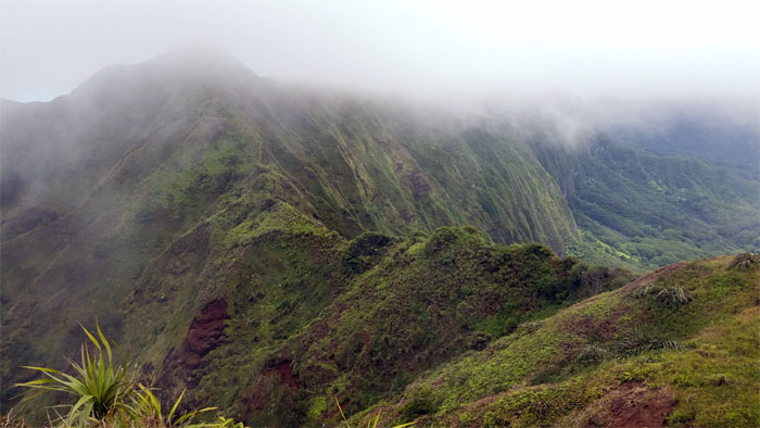
Dale standing by the scalloped sections of the ridge.
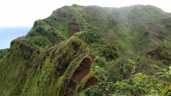
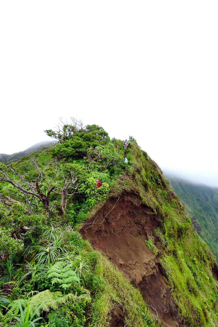
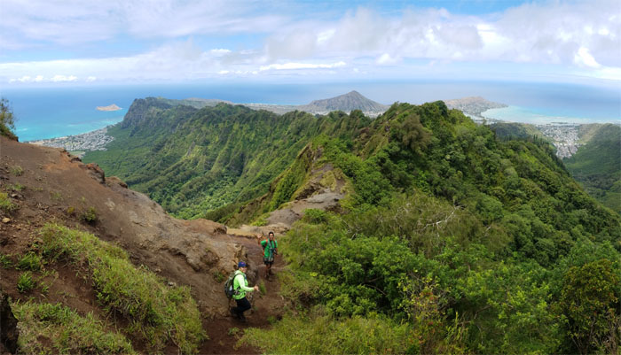
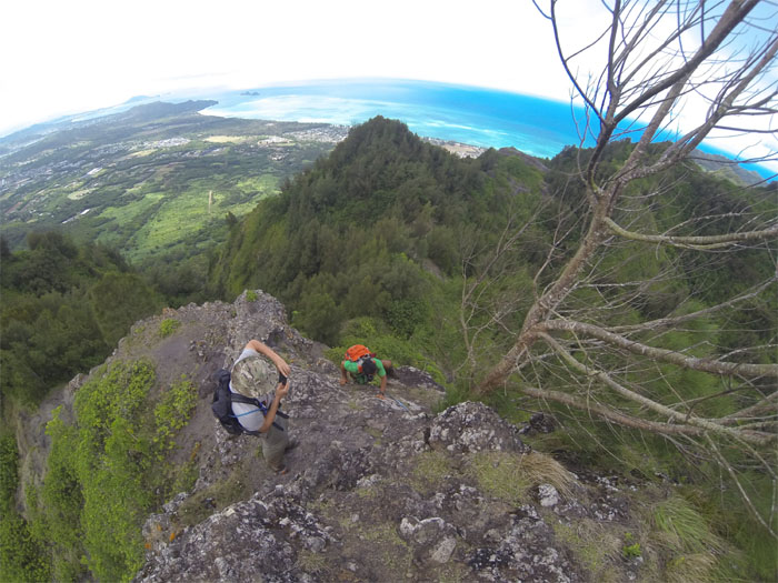
Jasmin and myself coming down the well-known eroded section of the ridge. Photo by Dale Yoshizu.
We soon ran into hikers coming from Kuli’ou’ou and most of them knew Dale. Time to talk story.
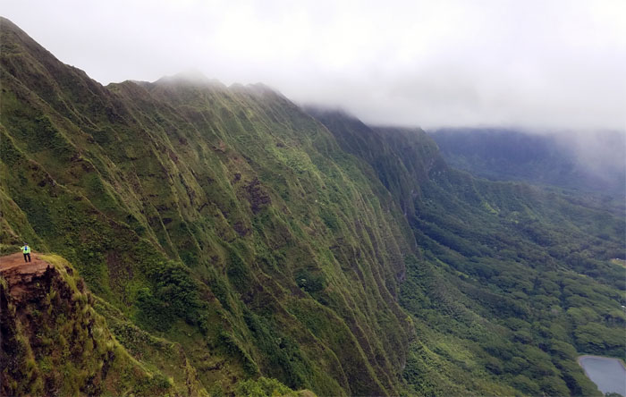
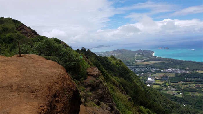
Jasmin standing on one of the most photographed and camped spots on the Southern Ko’olaus.
We caught up with the group from Puu O Kona who had lunched further down on the ridge.
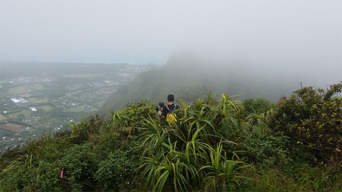
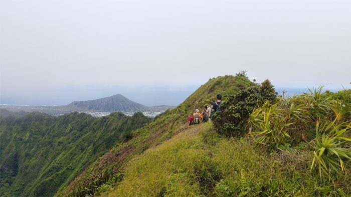
Looking back at the hikers making their way to Puu O Kona.
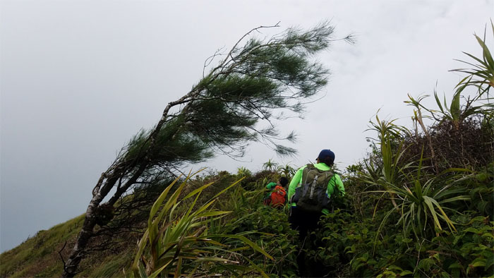
Be the tree. Lean like the tree. Zen hiking.
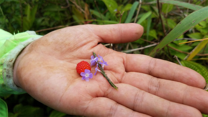
Fresh pickings. Thimble berry and mushroom flavored flowers. Party in your mouth.
Dale and Jasmin on the exposed section of the ridge line.
Oahu’s answer to the sliding sands trail in Haleakala.
Dale and Jasmin approaching the 2,028′ summit.
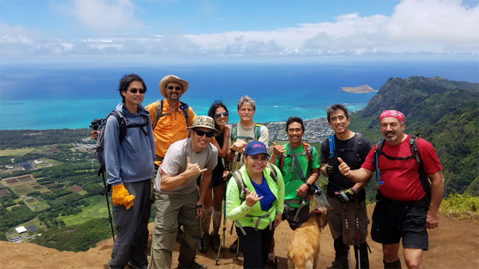
Group photo left to right: unidentified hiker, Rich, myself, Janice, Don, Jasmin, Dale, unidentified dog, Stuart and Ralph. The dog knew which way to look.
We took our leave of the group that headed down Kuli’ou’ou Ridge and continued on the KSRT. Are you coming with us buddy?
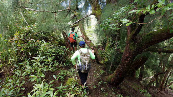
The trail alternated between exposed and forested sections.
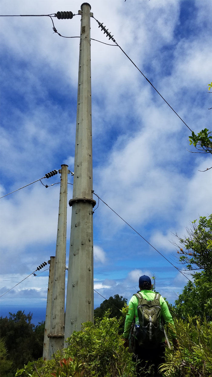
Where Leeward meets Windward at the power lines.
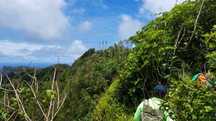
Popping out of the vegetation and looking ahead to the second set of power lines straddling the mountains.
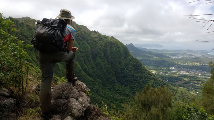
Great scenic spot to soak in the mountain, coastal and ocean views. Photo by Dale Yoshizu.
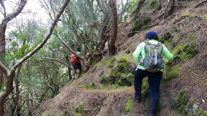
Contouring through the heavily wooded trail section.
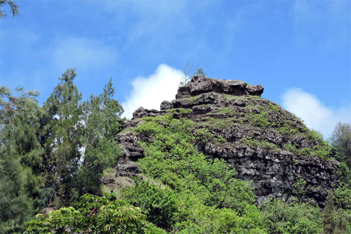
The profile of the pyramid is hard to pick out from this side. So is the hiker’s profile. Photo by Dale Yoshizu.
Jasmin climbing her way up.
Dale hiking like an Egyptian. Photo by Jasmin Nepomuceno.
Top of the pyramid. Photo by Jasmin Nepomuceno.
Last look around before leaving the top.
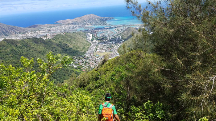
Making our way down the ridge into Hahaione Valley.
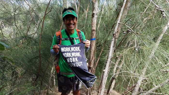
Replace hike with work and Dale would have the perfect shirt.
If there were less trees and we had cardboard boxes, it would have been the perfect ride down.
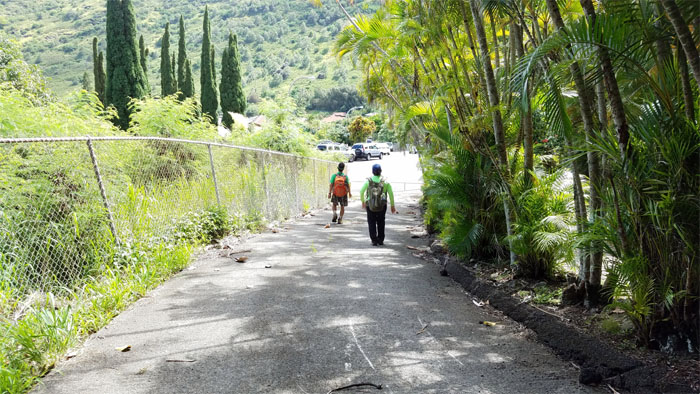
Walking down the paved road back to our staged car, that would take us back to the other valley.
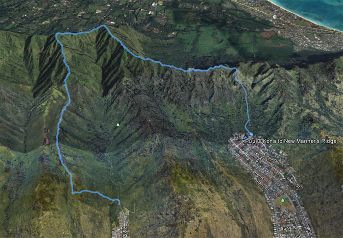
The fun loop hike through the lush valleys and ridges covered only 3.93 miles. Great hike with old and new friends. Post hike meal at Zippy’s. You could cut the silence with a chopstick as somebody was bone tired.
Note: I have been made aware the some hikers have been using my blog as a hiking guide and getting lost on the trails. Please note that this blog was made to document the hike for the crew(s) that did it. That is why some of my comments will seem to have no relevance or meaning to anybody outside of the crew(s) that hiked that trail. My blog was never meant as a hiking guide, so please do not treat it as such. If you find inspiration and entertainment from these hikes, that is more than enough. If you plan on replicating these hikes, do so in the knowledge that you should do your own research accordingly as trail conditions, access, legalities and so forth are constantly in flux. What was current today is most likely yesterdays news. Please be prepared to accept any risks and responsibilities on your own as you should know your own limitations, experience and abilities before you even set foot on a trail, as even the “simplest” or “easiest” of trails can present potential pitfalls for even the most “experienced” hikers.




{ 0 comments… add one now }