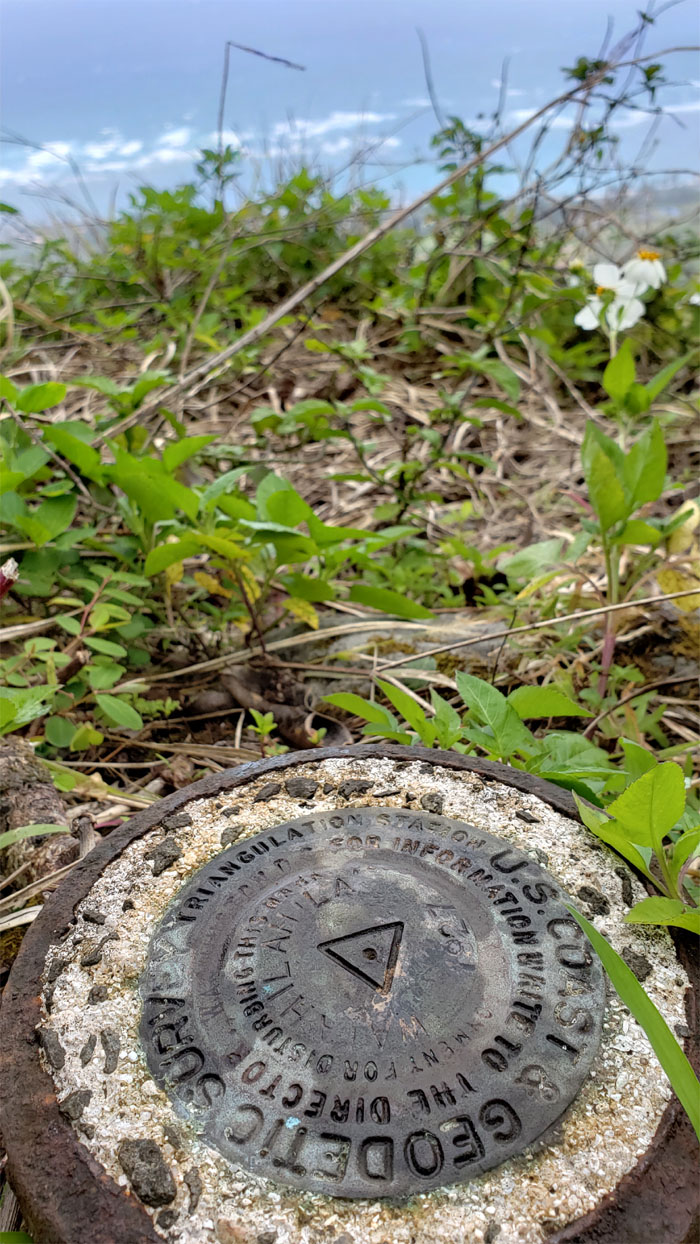
This weekend was forecasted to be another chilly one with breezy conditions. Perfect weather to hike to the “nipple” peak out in Hauula. Quan agreed to show us most of the way. Key word on most.
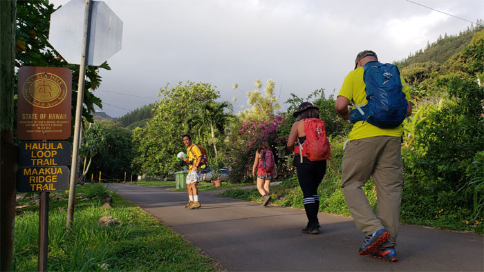
Mahalo to Janell for carpooling Cisco, Dale, Quan and myself to the limited parking trailhead. Look closely at Dale’s Solemates cap that he’s holding in his hand. He will soon be donating it to the mountains. Involuntarily.
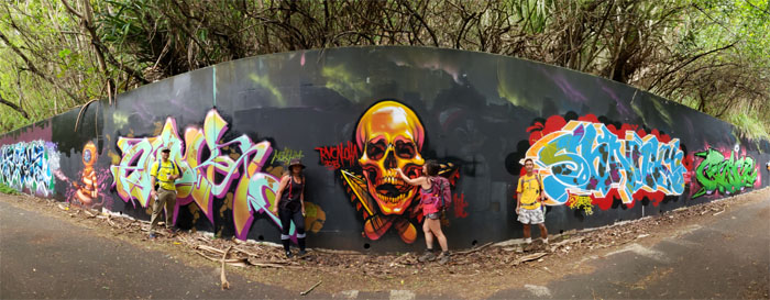
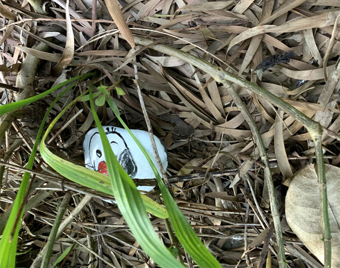
You don’t have to travel to Kakaako to experience creativity on a wall.
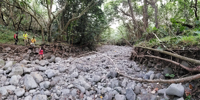
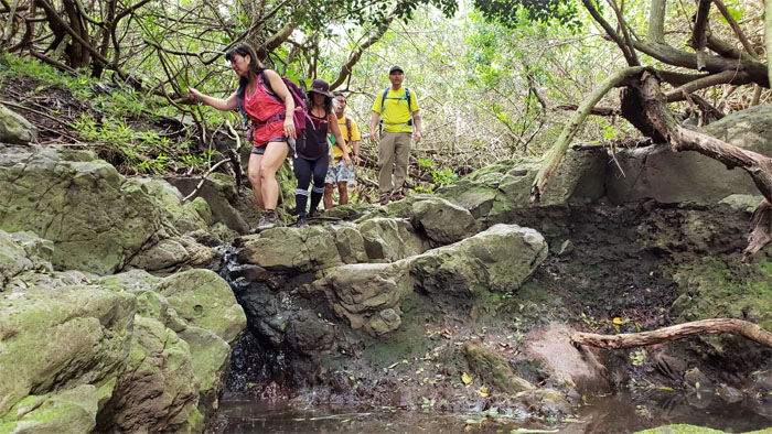
Crossing over the assorted rocks.
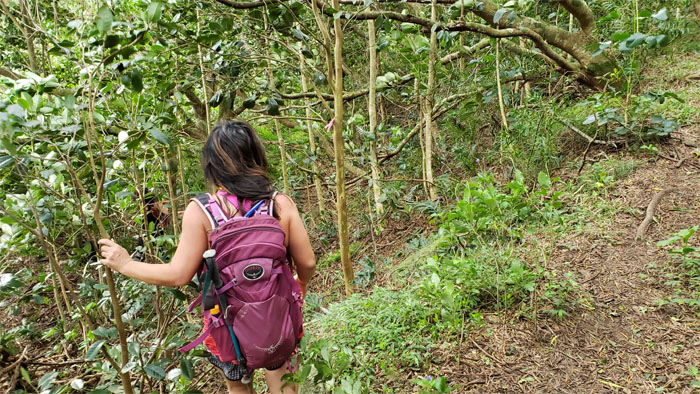
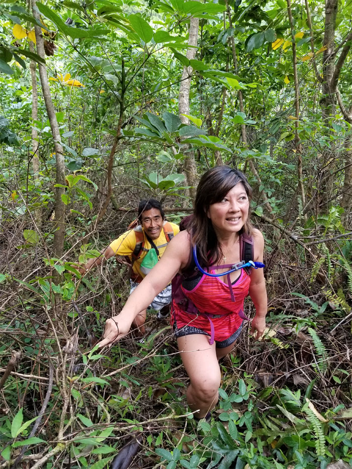
Zig zagging our way up the relatively dry trail.
I’ll be back. Photo by Cisco Quintanilla.
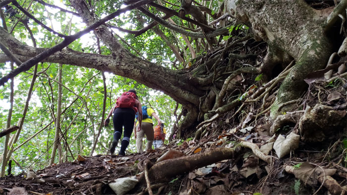
Walk quickly and don’t look up.
I don’t see the resemblance. Maybe it’s because I’m color blind.
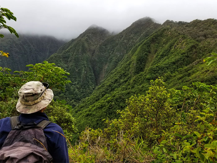
This must be where we go off the beaten path.
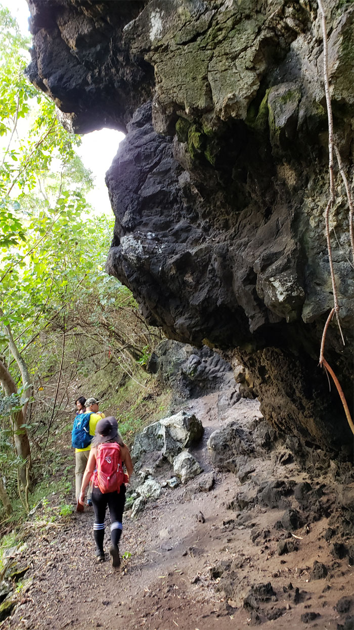
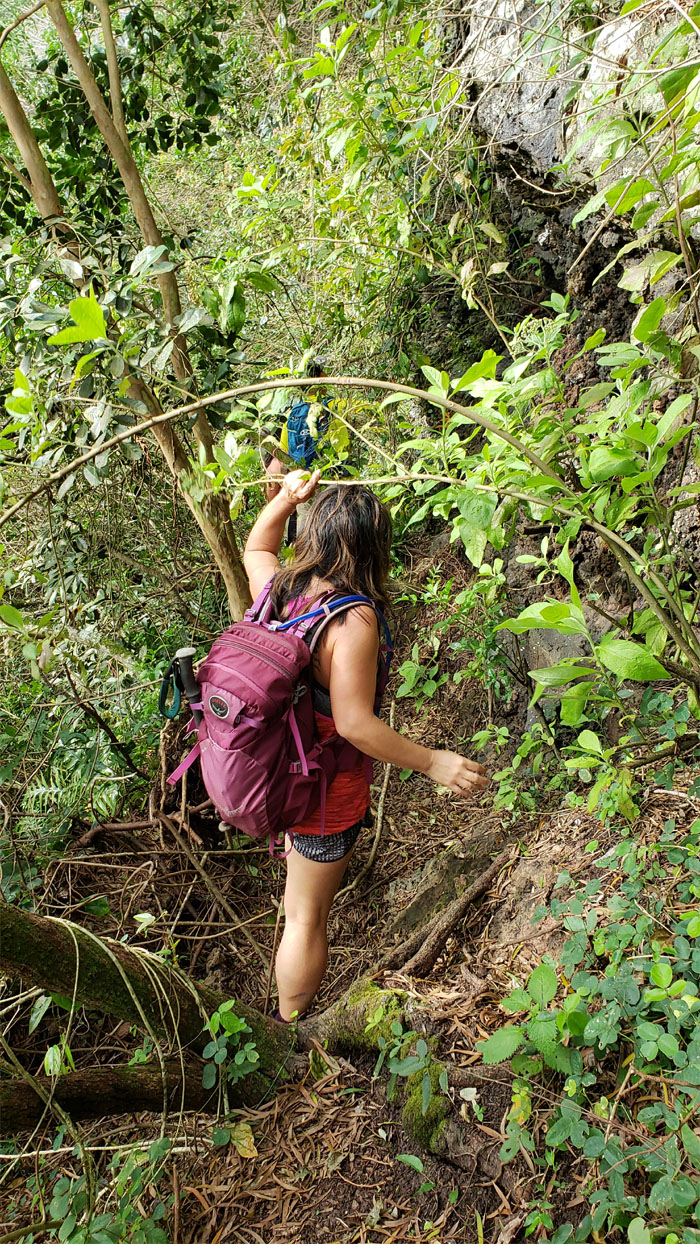
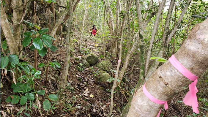
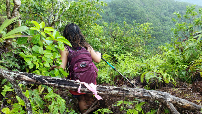
Hugging the cliff as we followed the pink ribbons scattered like bread crumbs on a trail, until they stopped.
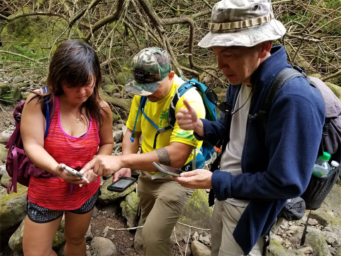
Let’s see, we are here and should be there. Photo by Janell Tuttle.
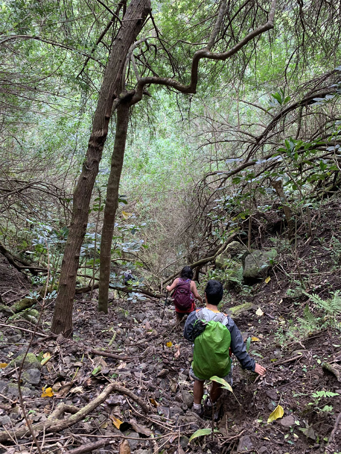
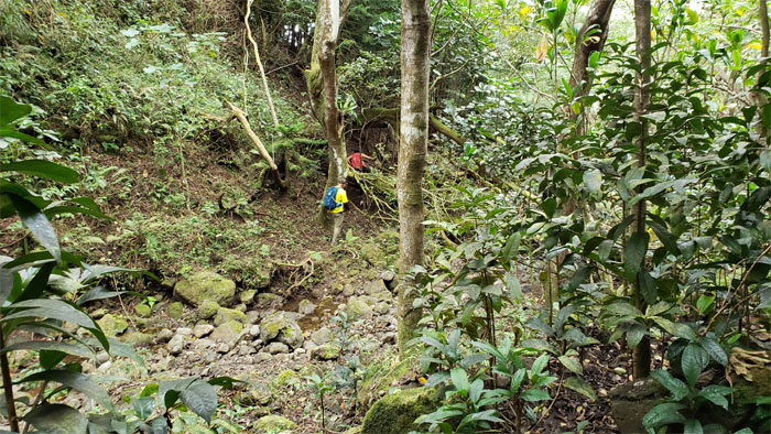
This was not the right waterfall, so we followed the stream bed down hoping to pick up the trail.
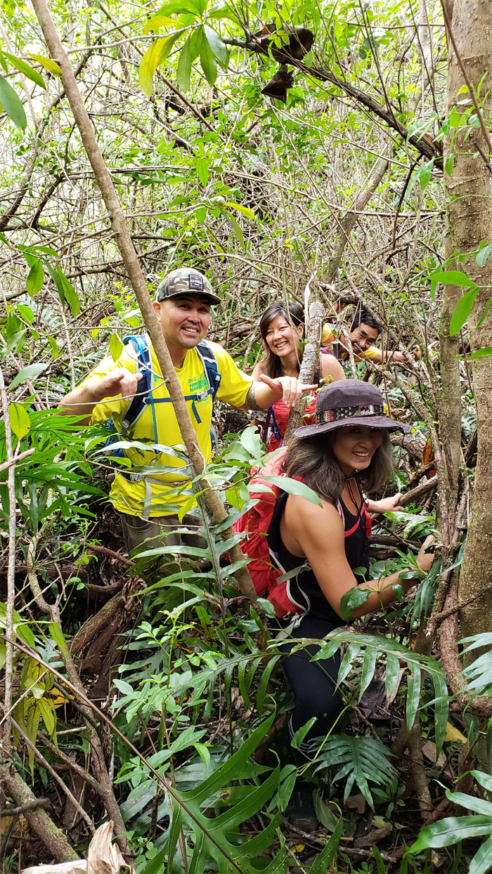
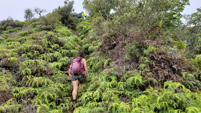
We decided to go up something that faintly resembled a trail and ended up chewing leaves.
All smiles as the ten minutes paid off. Photo by Janell Tuttle.
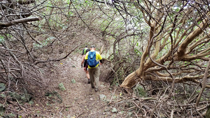
We left the nicely cleared trail in favor of traversing the ridge. We had enough of contouring and bushwhacking for one day.
Time to do some rock skipping as somebody called it. Photo by Janell Tuttle.
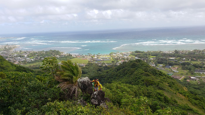
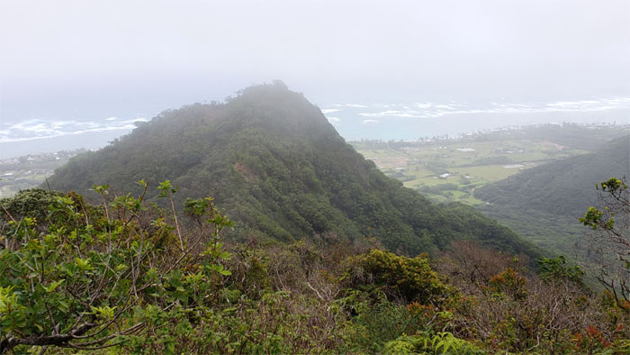
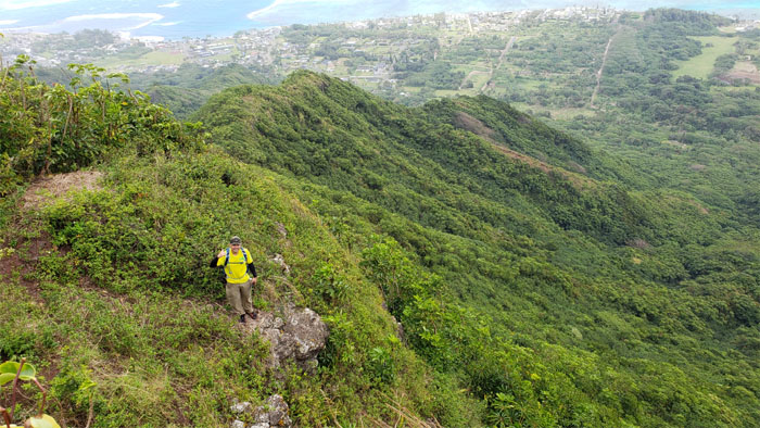
Looking back at the rural town of red trees. Must be the color blindness kicking in again.
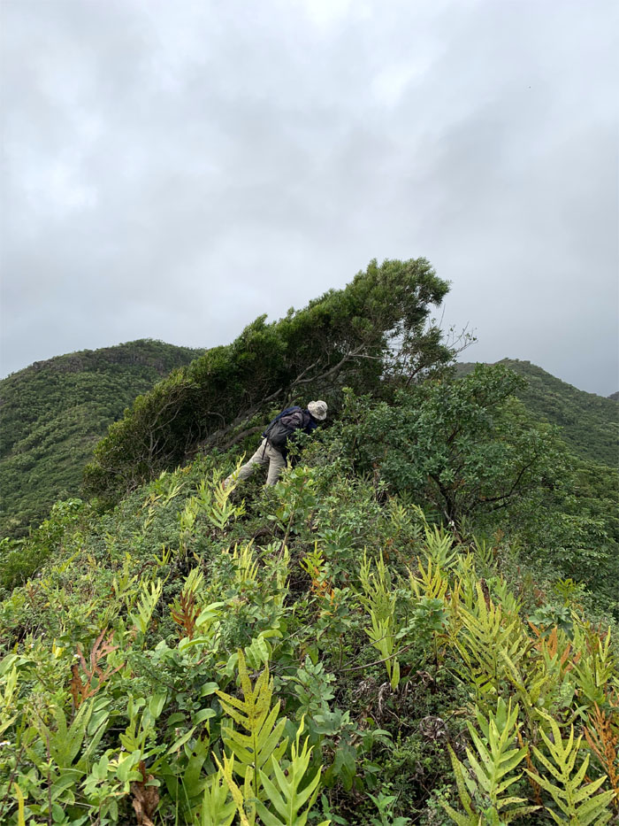
Which way does the wind blow? Take a wild guess. Photo by Cisco Quintanilla.
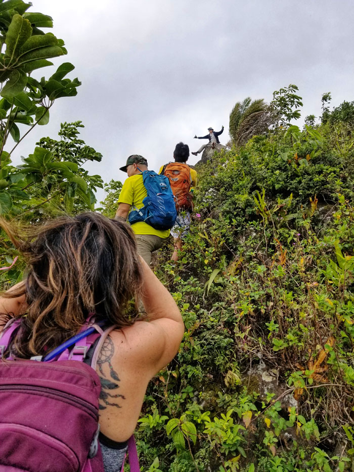
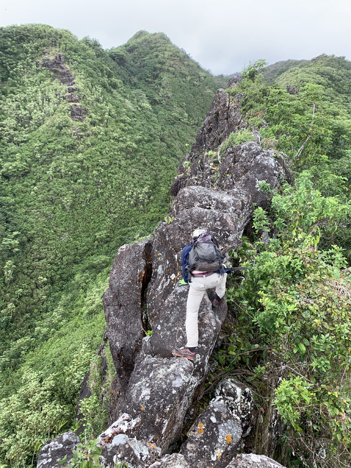
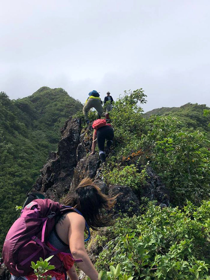
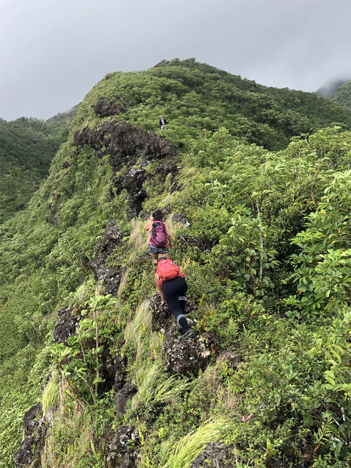
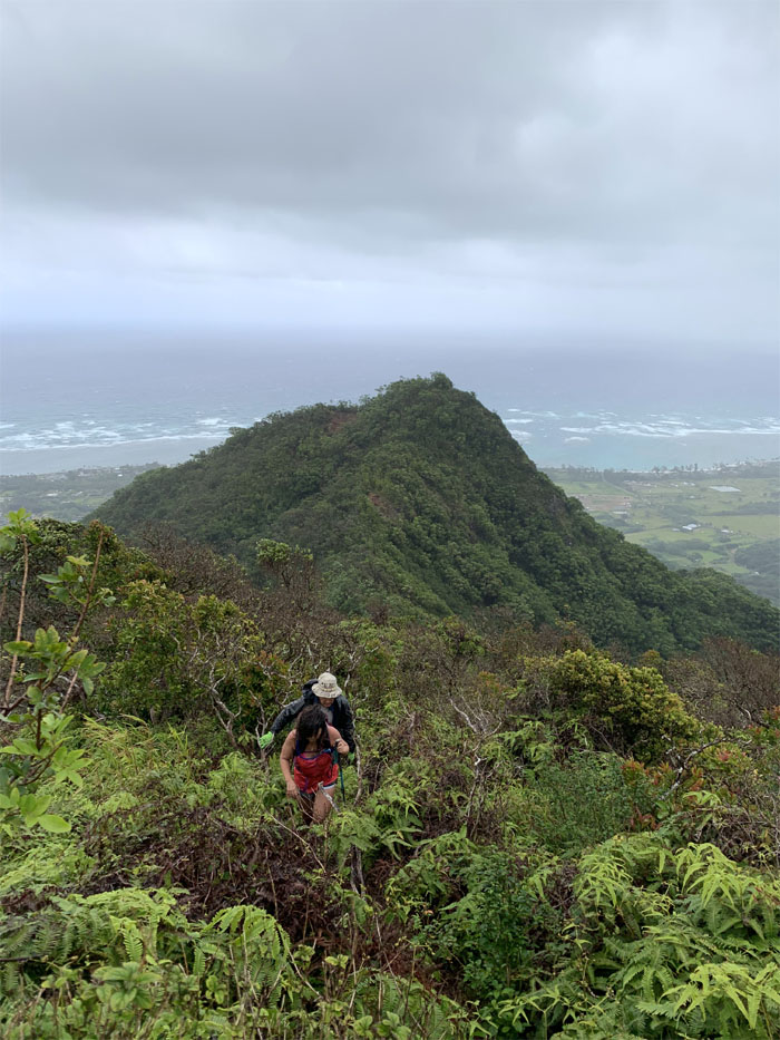
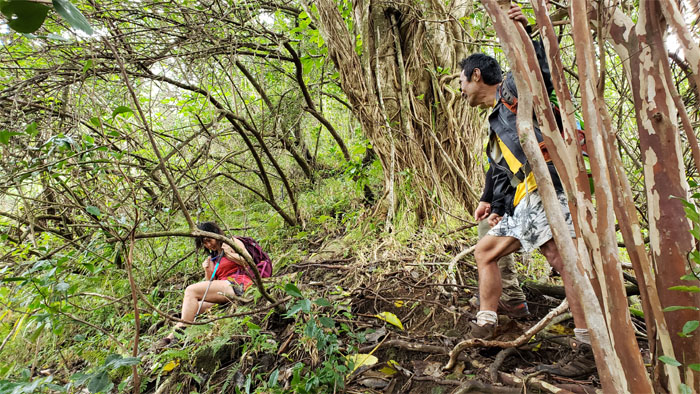
Climbing rocks was infinitely preferable than battling the bruising overgrowth. Photo by Cisco Quintanilla.
Knuckle walking under extremely gusty conditions.
Did I mention it was windy? Photo by Dale Yoshizu.
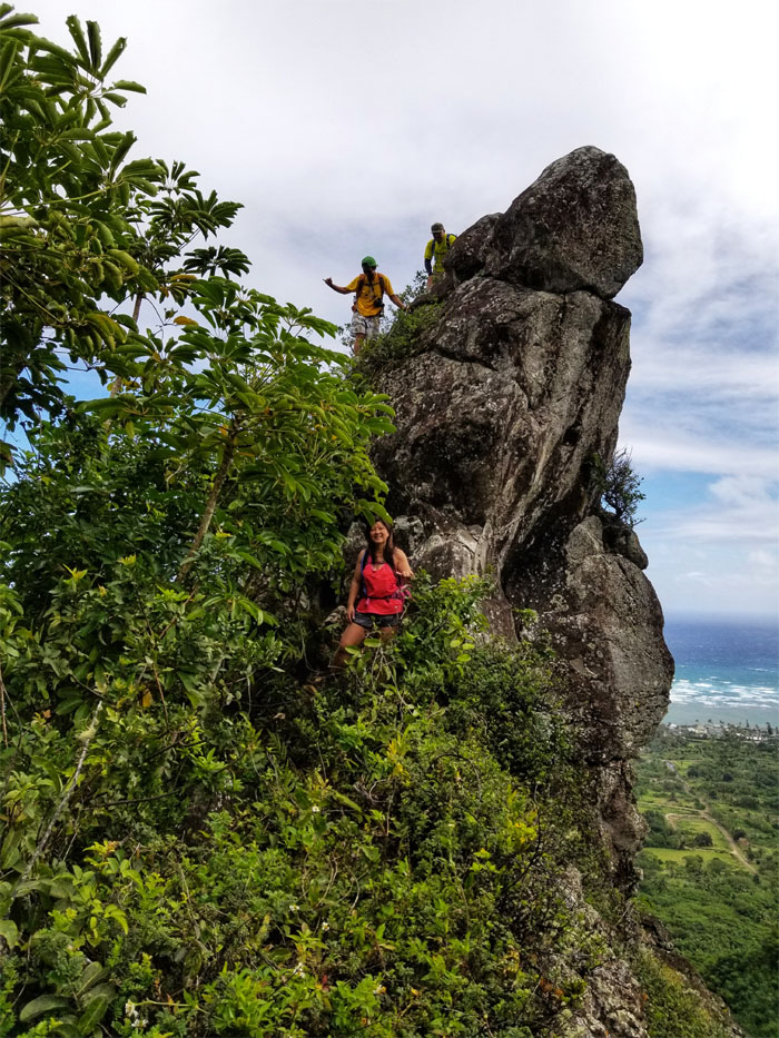
Quan climbing down the side of boto rock. Photo by Dale Yoshizu.
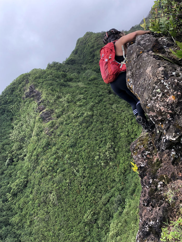
Janell contouring her way around the boulder on a narrow ledge. Photo by Dale Yoshizu.
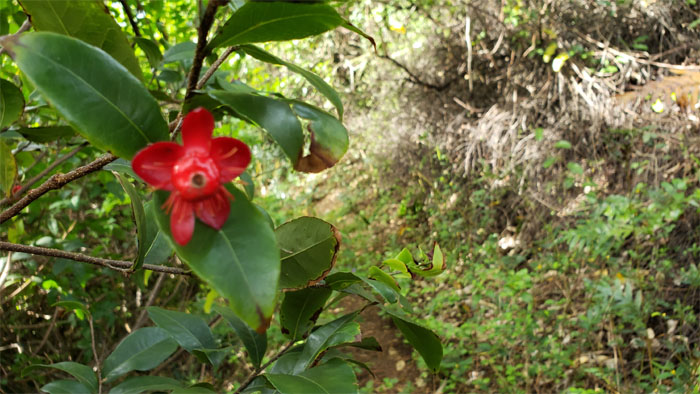
Is it a grower or a shower? Photo by Janell Tuttle.
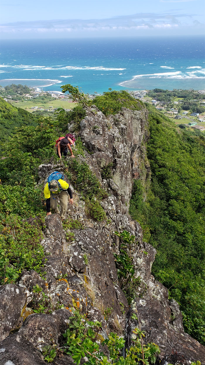
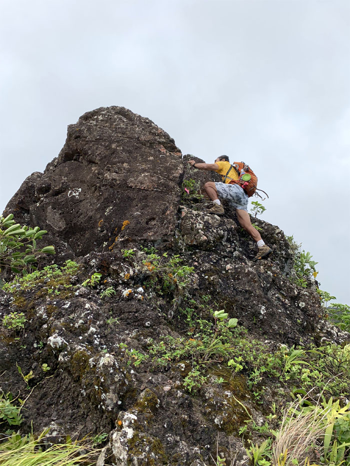
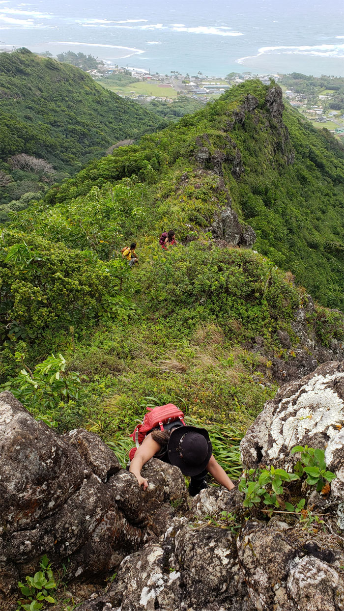
Dale scrambling up one of many rocks on the ridge line. Photo by Cisco Quintanilla.
Transitioning from quadrupedal to bipedal locomotion. Winds must be dying down. Photo by Dale Yoshizu.
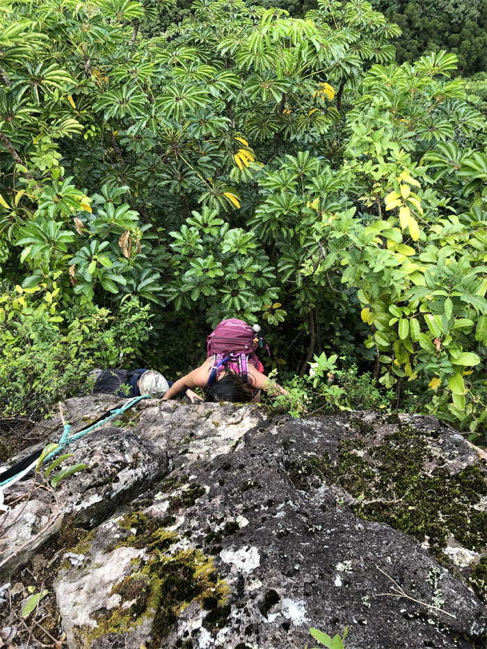
Janell coming up the last rock climb.
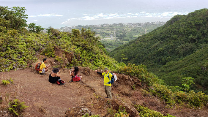
Everybody taking a break from all the overgrowth and windy rock climbing.
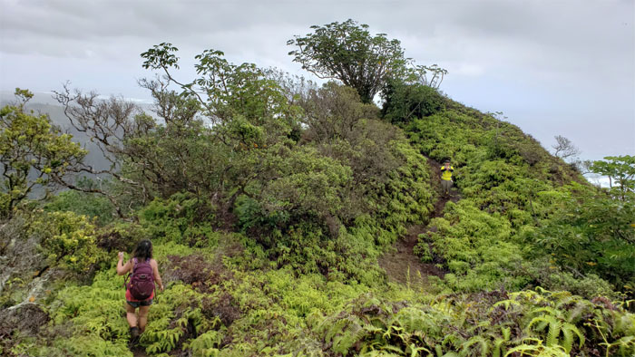
Back to our regularly scheduled program of hiking.
We soon reached another junction and saw our destination in sight.
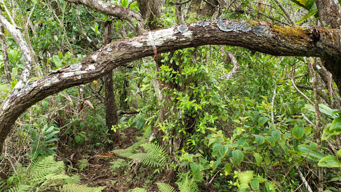
Faded and new ribbons blended together on the trail.
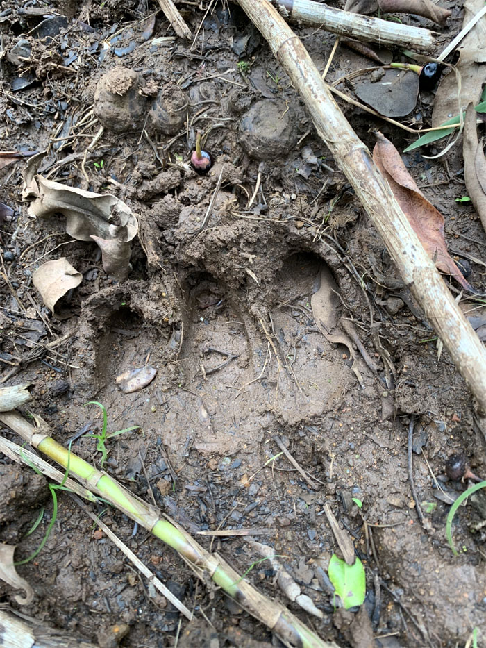
I don’t think we want to meet the animal that made these prints. Photo by Cisco Quintanilla.
Looking at what some speculate could be Waimanamana Falls? Photo by Janell Tuttle.
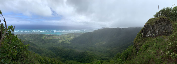
Panoramic view of the Hau’ula Forest Reserve. Photo by Cisco Quintanilla.
Hmmm, what is that spur ridge behind Cisco? Another hike for another day.
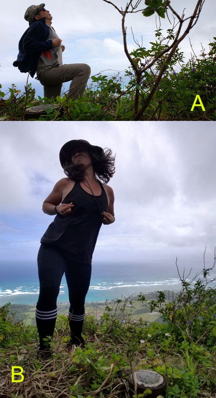
The cookies have been activated and the polling has begun. Please vote for who you think did it best to ainokea@puinsai.xxx. The winner will be announced when it gets warmer.
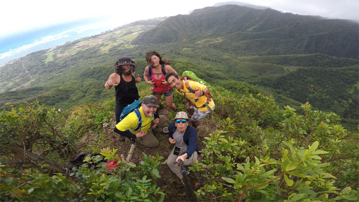
Group photo at the 1,264′ summit, left to right: Janell, Cisco, Quan, Dale and myself. Somebody suggested that we pinch each other. I don’t think that would have gone down well with our spouses. On the other hand, Dale would have been pleased as punch.
The clouds slowly erased the views, so we took our leave of the summit.
Making our way back from the nipple. Photo by Cisco Quintanilla.
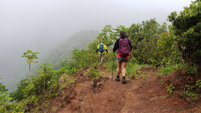
Enjoying the relatively freshly cut trail. Thanks to whomever cleared a swath through the clingy uluhe ferns.
We followed the double ribboned branch as we went down the connector trail to get back to the loop trail.
Quan trying to beat the crap out of her cramps. I heard that works better than mustard.
It was all downhill from here. Slightly steep, but still downhill.
Making our way down the trail that was covered in loose and shifting rocks of assorted sizes. Photo by Cisco Quintanilla.
Still looking for that waterfall. We picked up the ribbons and followed the trail out.
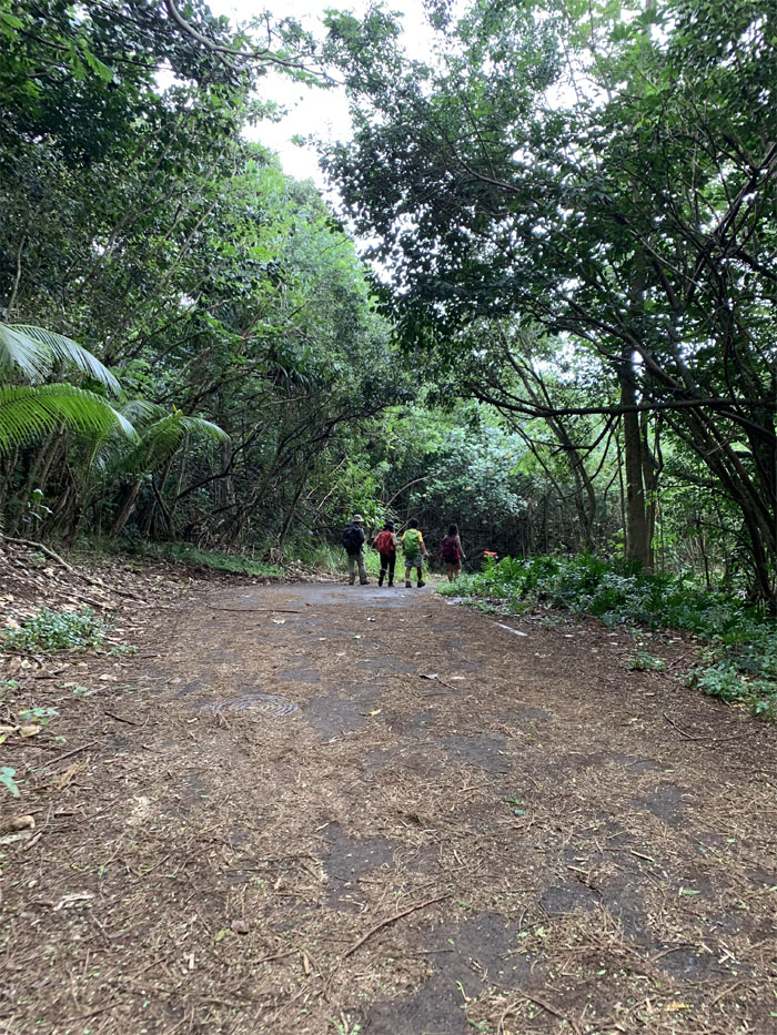
Back on the State trail, where Cisco noticed another possible connector trail. Another hike for another day.
Finishing our titillating hike for the day. Photo by Cisco Quintanilla.
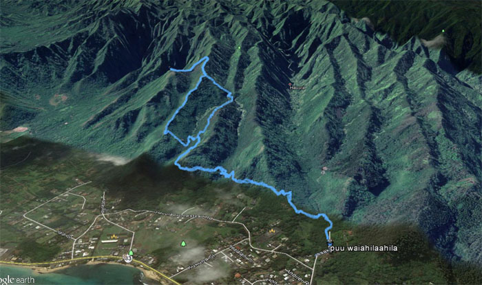
Our fun and windy hike covered 4.7 miles through ridges, valleys and summits. Shout out to Nandor and friends for reviving this old trail so that others can follow in their footsteps. Post hike meal at Waiahole Poi Factory where an extra side of poi is still not enough. Thanks to Janell for the meal, Quan for the semi-guided hike and everybody else for the good company.
Note: I have been made aware that some hikers have been using my blog as a hiking guide and getting lost on the trails. Please note that this blog was made to document the hike for the crew(s) that did it. That is why some of my comments will seem to have no relevance or meaning to anybody outside of the crew(s) that hiked that trail. My blog was never meant as a hiking guide, so please do not treat it as such. If you find inspiration and entertainment from these hikes, that is more than enough. If you plan on replicating these hikes, do so in the knowledge that you should do your own research accordingly as trail conditions, access, legalities and so forth are constantly in flux. What was current today is most likely yesterdays news. Please be prepared to accept any risks and responsibilities on your own as you should know your own limitations, experience and abilities before you even set foot on a trail, as even the “simplest” or “easiest” of trails can present potential pitfalls for even the most “experienced” hikers.

{ 7 comments… read them below or add one }
Where do I vote?
Aloha Quan,
Your vote has been registered. Thanks for the support.
Mahalo
Great blog post! I like the humor and the style. Thanks for sharing the adventure. Btw, I vote B.
Aloha Aida,
Thanks for taking the time to read about our hike. However, your vote has been tossed out as immaterial.
Mahalo
Mahalo Aida!
Your vote counts. ???? No hanging chads here. ????
Aloha! ????????
My emojis all turned into question marks, lolz
Sorry your vote is biased and immaterial as well. Thank you for visiting! Please come back again.