Lack of a 4×4 ride found Glenn, Ryan, Stuart and myself in the vast company of a HTMC group hike on the West side. Alex and his girlfriend also met up with our group.
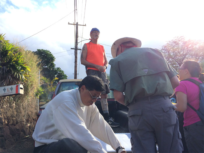
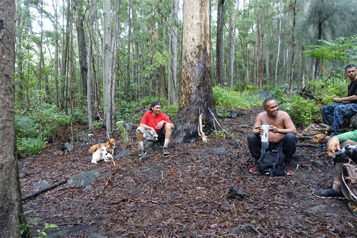
Waianae Steve, the man responsible for exploring and marking most of the Waianae trails, talking about the hike and passing out his numbers to the group.
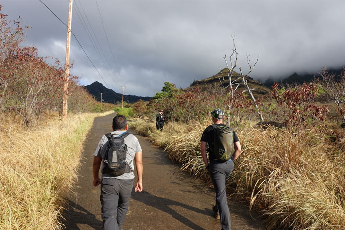
We only spent scant minutes on the much disliked road before turning into the bushes.
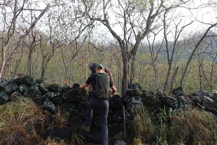
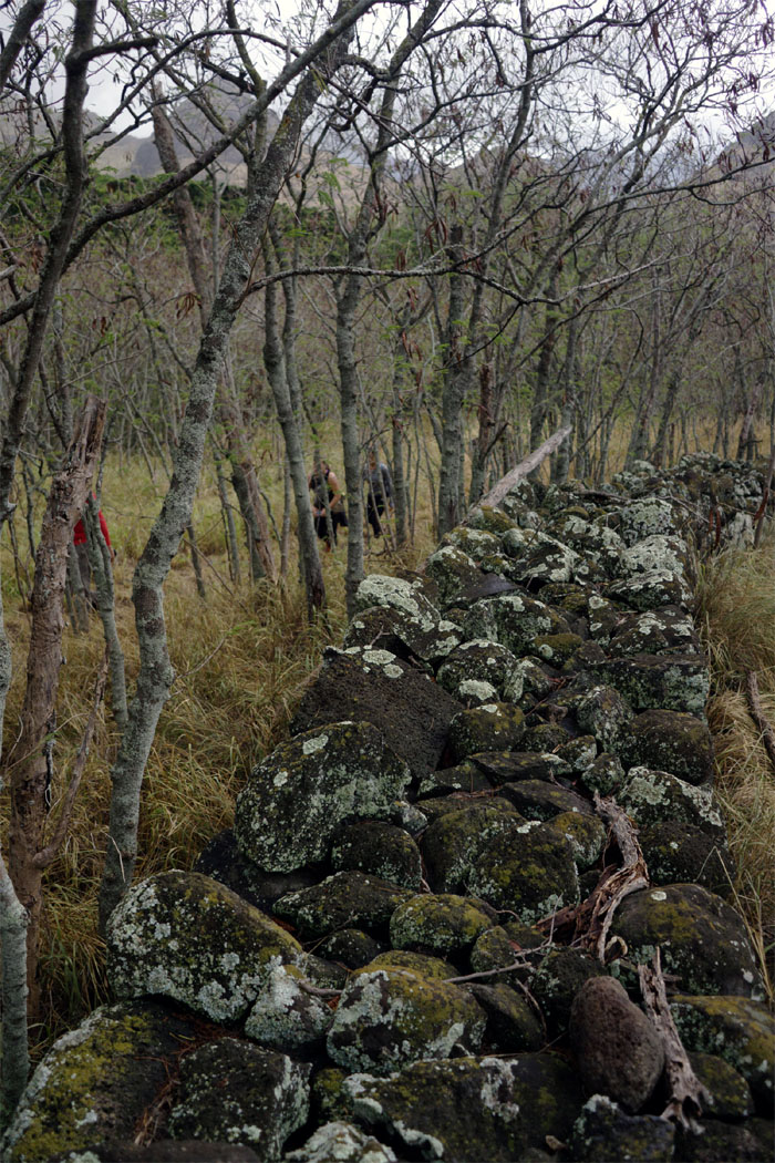
Stuart and Glenn climbing over the rock wall.
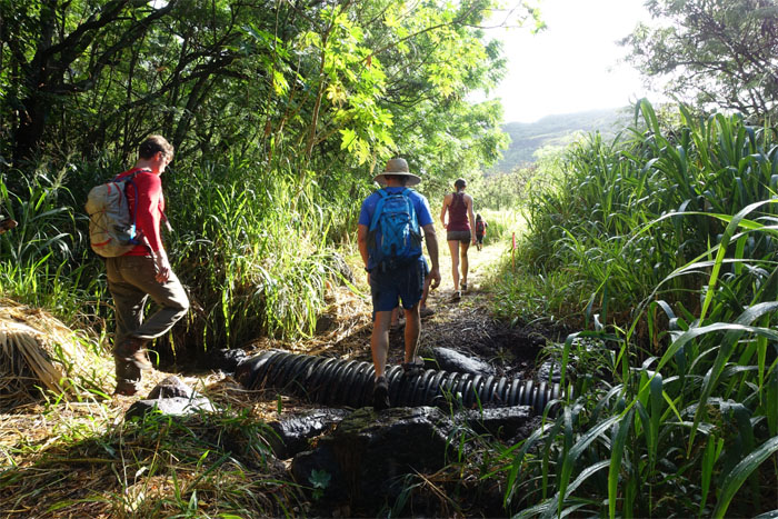
Ryan and Alex going over the culvert crossing.
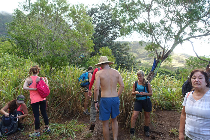
Some paused, while the rest of us continued on the trail. I believe this is the junction where one can also boldly go where no man has gone before.
Stuart and Glenn passing by one of several dams.
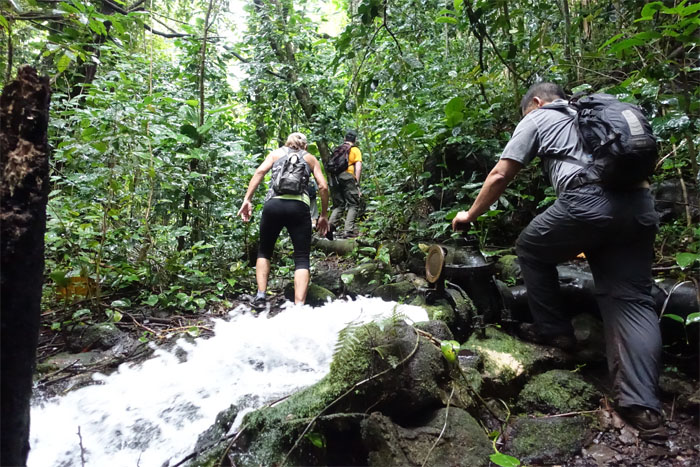
The group crossing over Kanewai Stream.
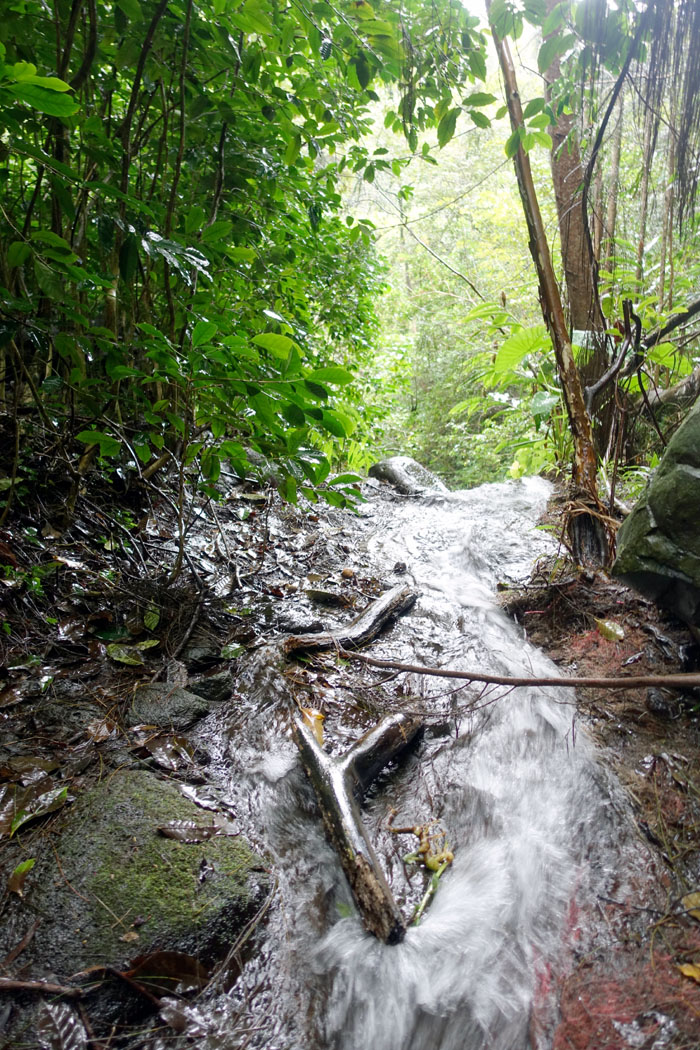
Gushing straight from the tap.
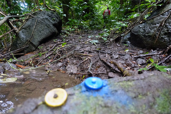
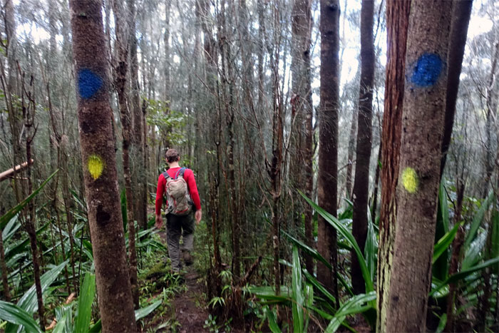
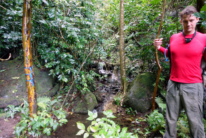
Blue for up. Orange for down.
The trail was extensively cleared and marked. Hard to get lost.
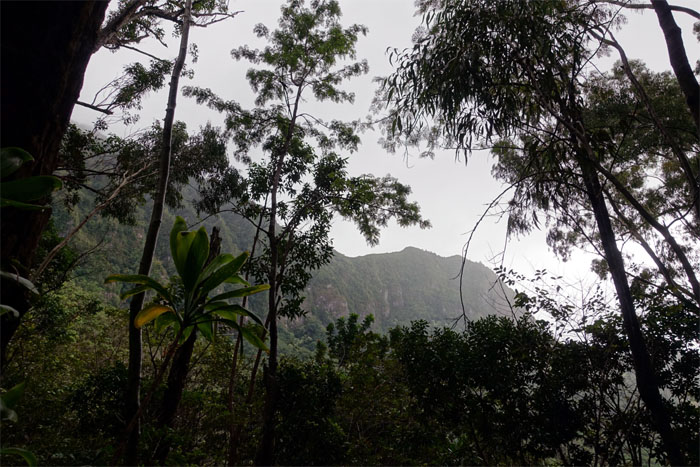
Missing the mountains.
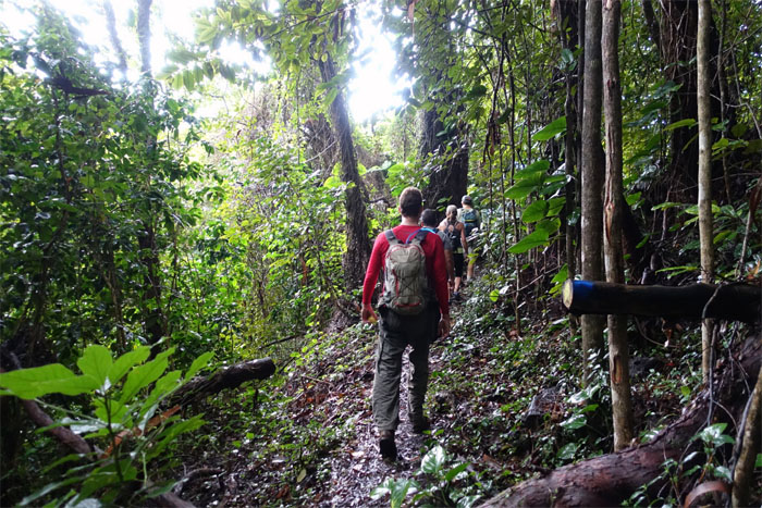
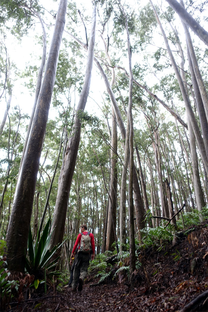
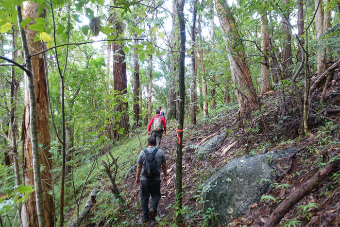
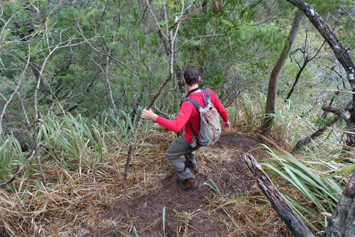
Ryan climbing through a patch of towering trees.
Snake ridge? I did not know that. Must be the tequila kicking in.
Ryan making his way down the stop light corridor.
Life and death. Photo by Stuart Krempin.
Through and through. Bone dry.
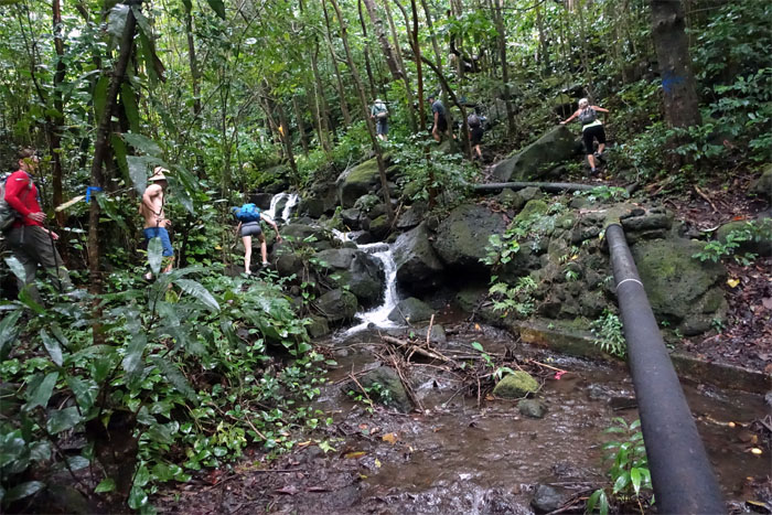
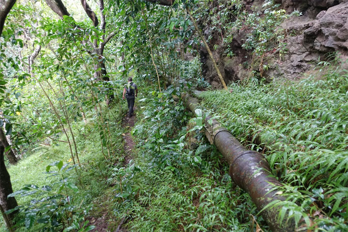
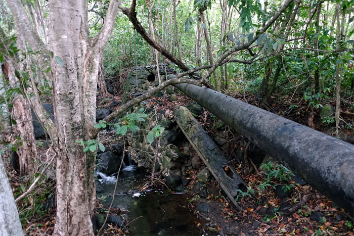
These old water pipes once helped to slake the thirst of king sugar back in the day.
Glenn, Chris and myself on top. Photo by Stuart Krempin.
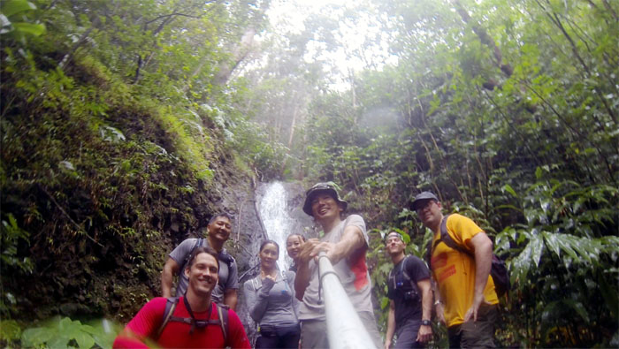
Group photo left to right: Ryan, Glenn, Lisa, Chris, myself, Stuart and sorry I didn’t get your name.
Most people do not think lush, verdant valley and Waianae go together. Think again.
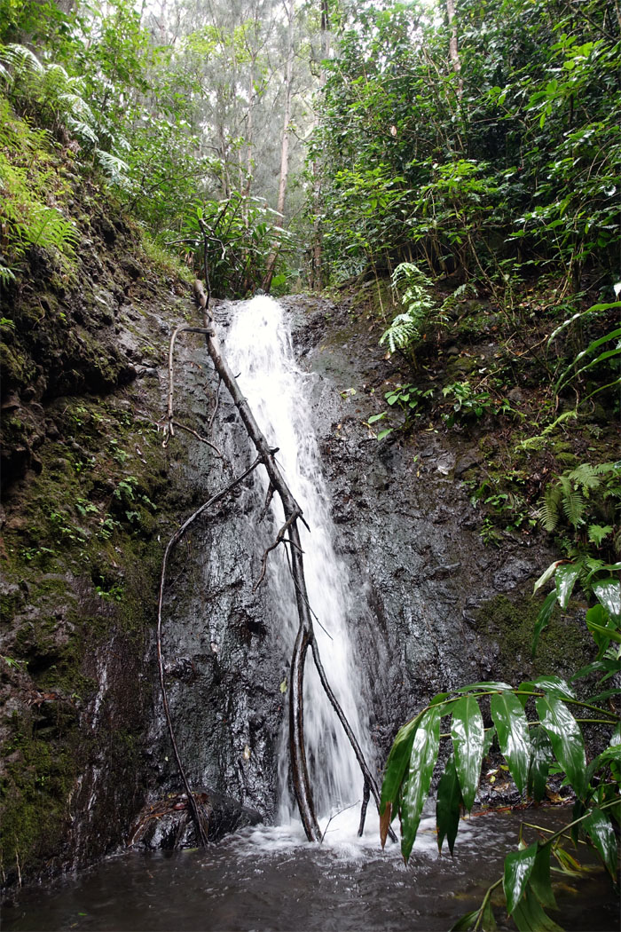
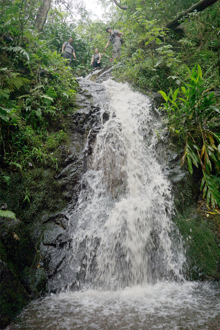
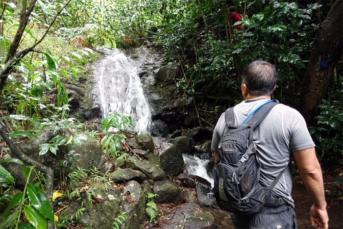
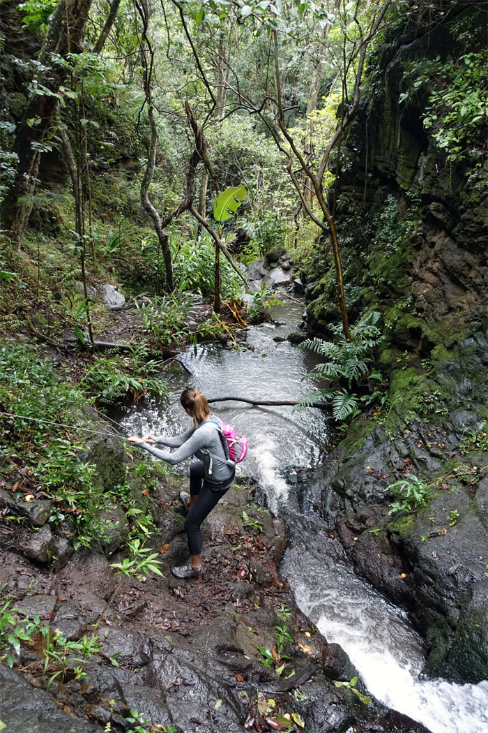
Glenn passing by another waterfall.
Some waited. Some explored.
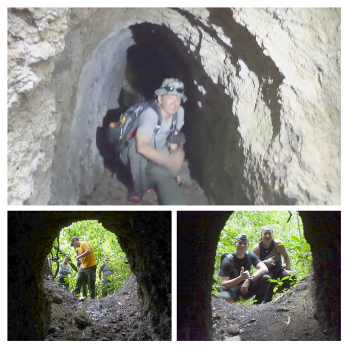
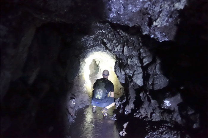
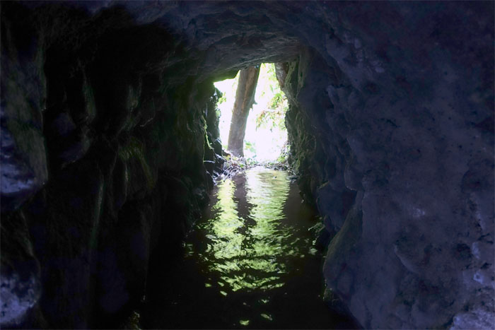
Wading through one of many tunnels dug deep into the mountains to tap water needed for the sugar cane plantation back in the day.
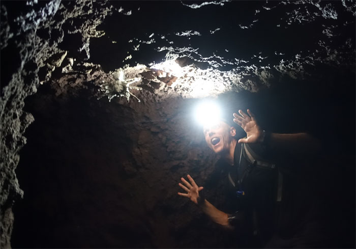
Scary spider, scary spider. Spins a web any size. Catches hikers just like flies.
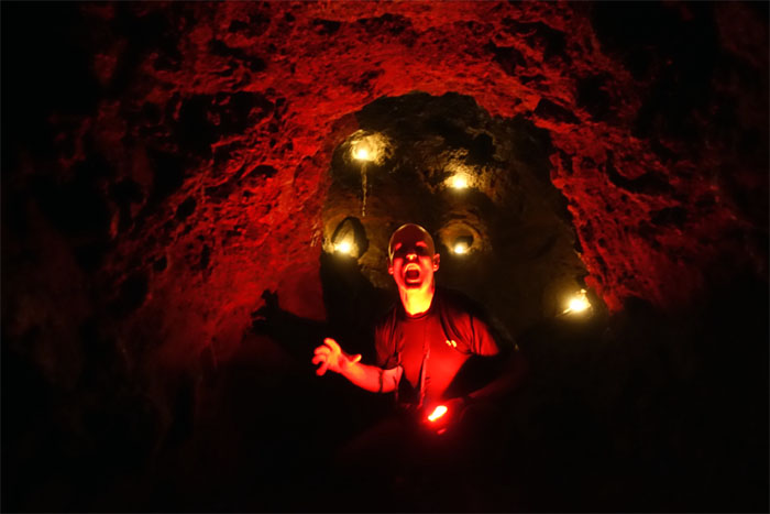
Boo! Just in time for Halloween.
Shimmering reflection. My precious.
Transitioning from blue to orange as we made our way down the trail.
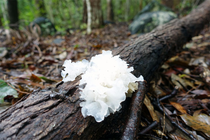
Inquiring minds want to know. Edible? Tasty?
Have a nice walk!
Ryan dropping back down into the valley.
Lisa making her way down to the stream.
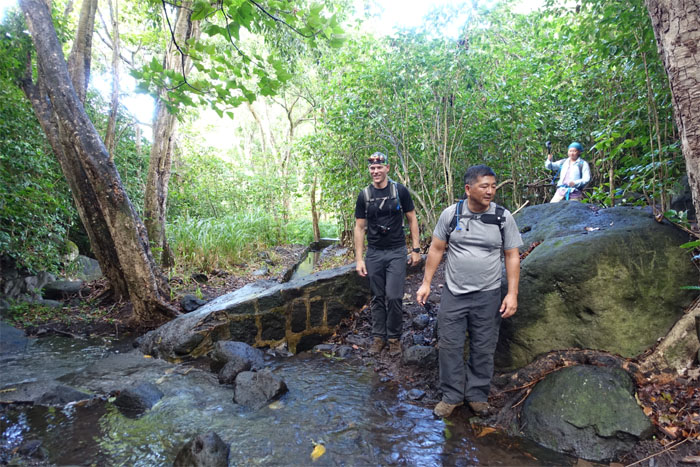
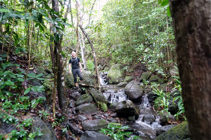
Stuart making his way along the rocky stream embankment.
Engineering marvel that they constructed these water pipes deep in the valley back in the day.
Chris and Lisa making their way to the breached rock wall. Photo by Stuart Krempin.
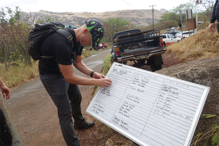
Stuart rubbing our names out. 34 more hikers still on the trail. Fun hike that looped 4.67 miles through a lush valley, dams, tunnels and waterfalls. Post hike meal at Coquito’s. Throw a dart. Anything on the menu is good.
Note: I have been made aware the some hikers have been using my blog as a hiking guide and getting lost on the trails. Please note that this blog was made to document the hike for the crew(s) that did it. That is why some of my comments will seem to have no relevance or meaning to anybody outside of the crew(s) that hiked that trail. My blog was never meant as a hiking guide, so please do not treat it as such. If you find inspiration and entertainment from these hikes, that is more than enough. If you plan on replicating these hikes, do so in the knowledge that you should do your own research accordingly as trail conditions, access, legalities and so forth are constantly in flux. What was current today is most likely yesterdays news. Please be prepared to accept any risks and responsibilities on your own as you should know your own limitations, experience and abilities before you even set foot on a trail, as even the “simplest” or “easiest” of trails can present potential pitfalls for even the most “experienced” hikers.


{ 2 comments… read them below or add one }
The white fungas is edible. It does not have a strong flavor and has a nice crunch. Good to double check that there isn’t a non-edible look-a-like, though.
Aloha Raena,
Thanks for the fungi id.
Mahalo