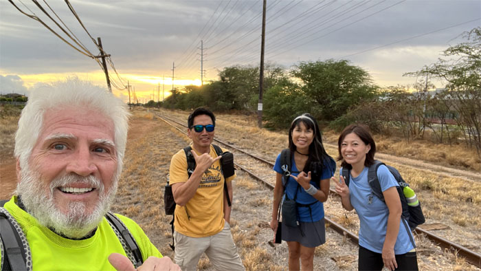
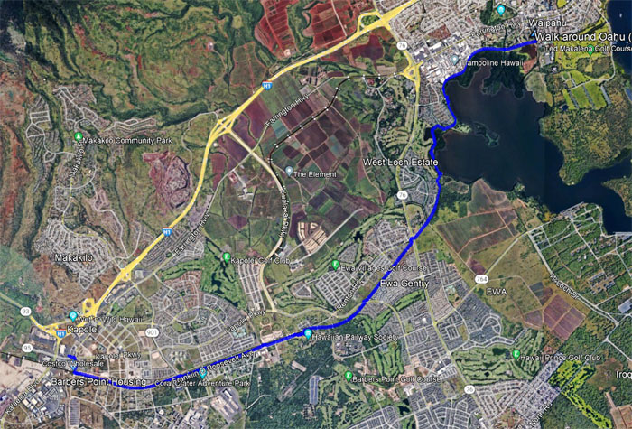
Met up with the “Japan Fab Four” at Kapolei to start our perimeter walk #10.
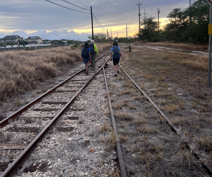
Catching the sunrise as we started walking on the old railroad tracks which paralleled Renton Road.
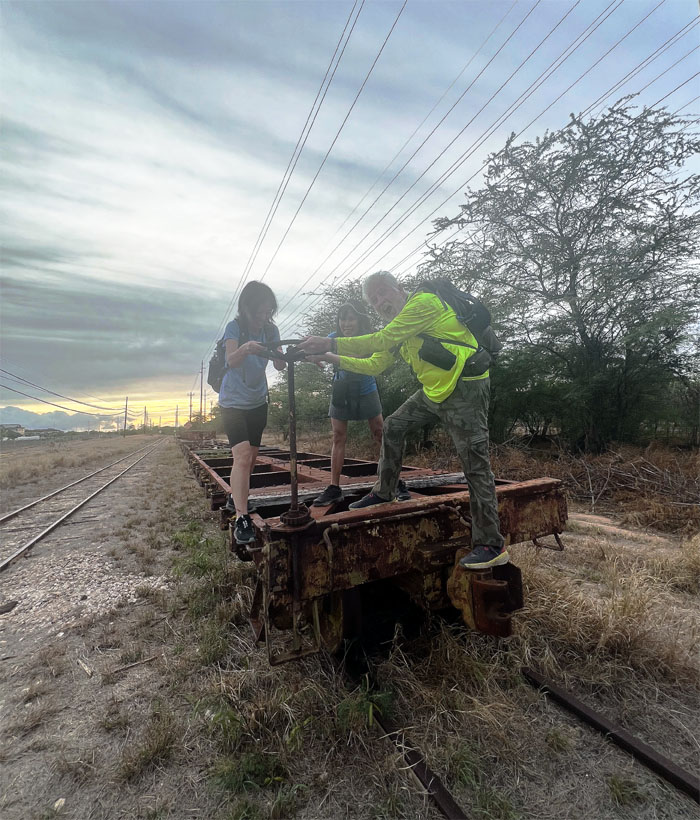
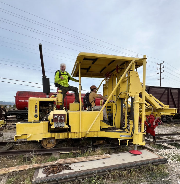
Going to have put a little more elbow grease to get it turning plus generous amounts of WD-40.
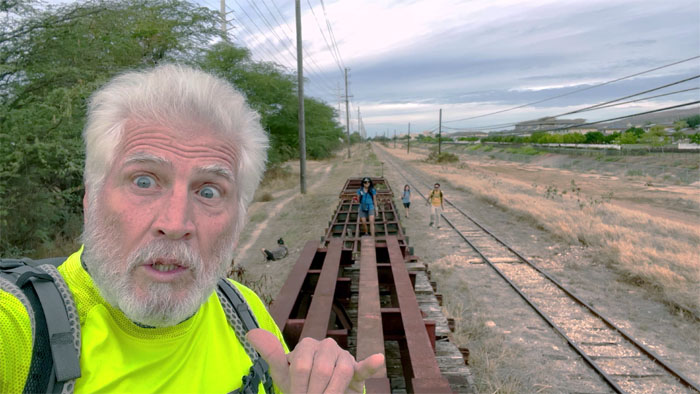
Who’s that guy sitting behind the broken railroad car?
Did somebody throw the railroad switch?
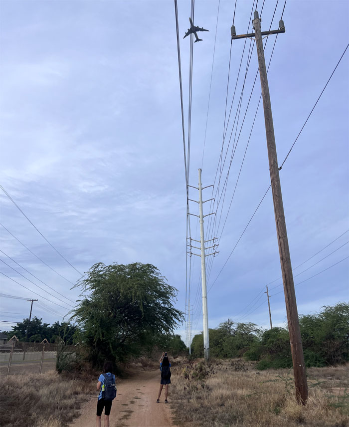
We crossed over Fort Barrette Road which was constructed to permit access to the Barbers Point Naval Air Station as we followed an access road which paralleled the train tracks. A steady stream of planes landing and taking off at the airport kept us company.
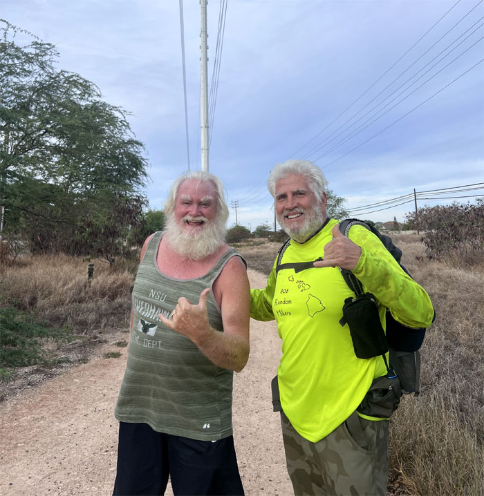
Santa and his protege. We soon crossed over another road complete railroad crossing gates, that was in the back of Ka Makana Ali’i (royal gift), a sprawling shopping center that opened in 2016.
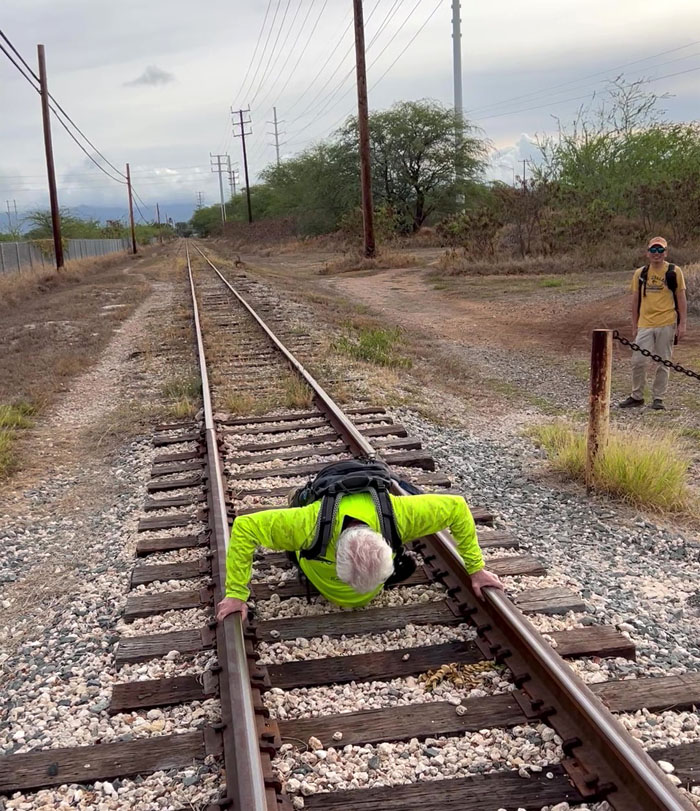
Chico showing us the proper pushup form and technique.
We soon stumbled onto the rail depot of the Hawaiian Railway Society, which is the only operating railroad museum in the State.
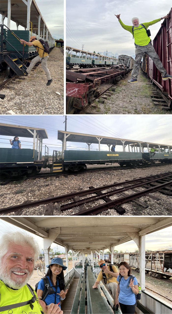
All Aboard! Weekly train rides are operated that run from Ewa to Kahe Point at a lickety-split speed of 15 mph. They even stop for ice cream!
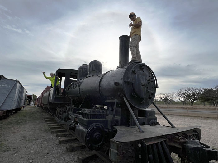
Checking out #85 – which is the only surviving Oahu Railway and Land Company (OR&L) road engine that pulled passenger trains during WW2.
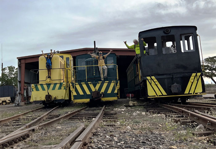
Photo with three out of the four operating locomotives left in the State.
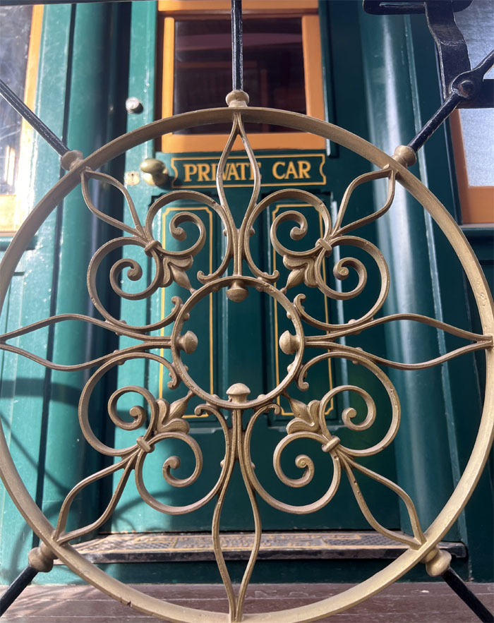
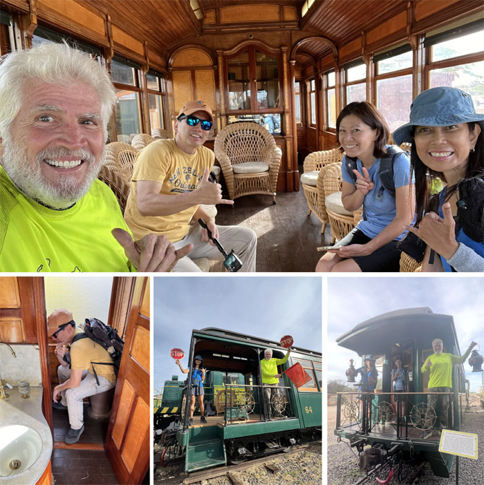
Exploring Parlor Car 64, that was the showpiece of OR&L’s rolling stock. It was built in 1900 for Benjamin Dillingham, the founder of OR&L, for his personal use and to entertain noted guests, amongst whom were members of the Hawaiian royalty.
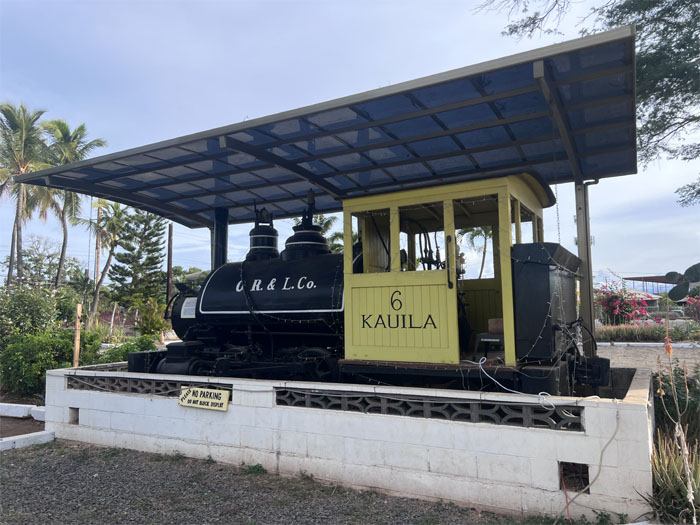
Kauila 6 was the first locomotive to be operated by OR&L. It now sits at the front of the museum. We left the non-profit organization and continued on the bike path that had roughly 100′ of cobblestones which soon turned into asphalt. I guess they ran out of money.
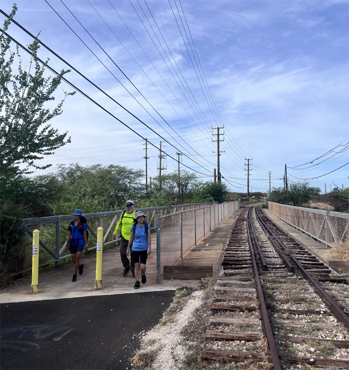
Looking both ways before crossing. There might be a train around the bend.
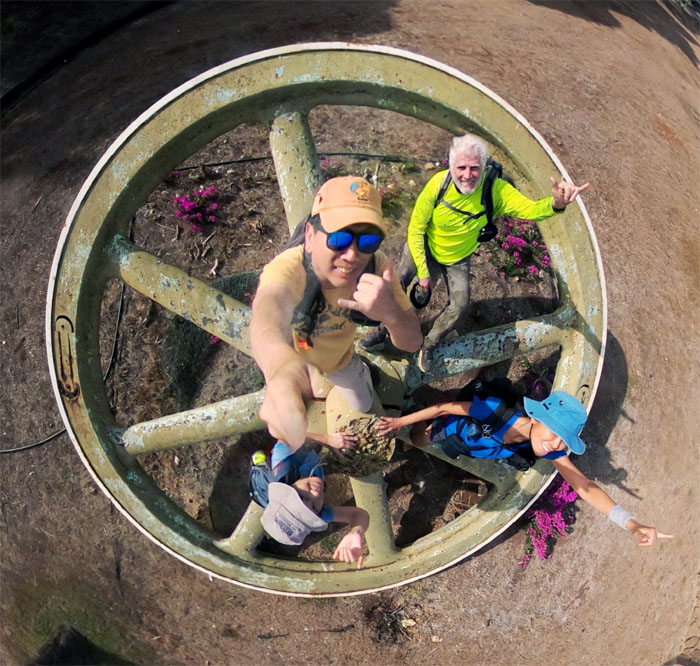
Group photo on the mill wheel that serves as the landmark of the storied history of the sugar plantations and the different ethnicities that toiled in the fields and lived here.
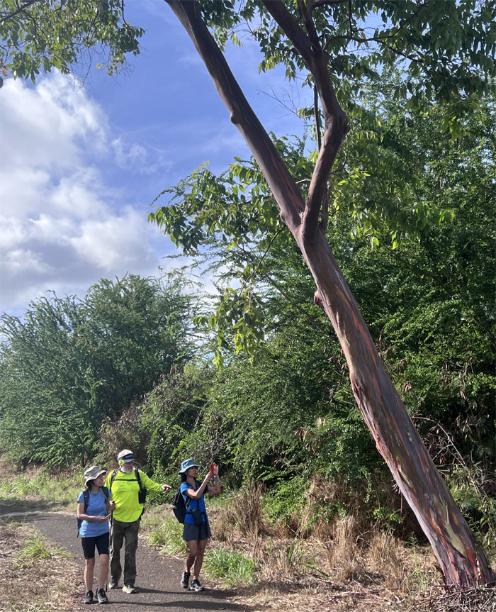
Staying our distance from a colorful rainbow tree that was introduced to the islands in 1929. It was also home to a bee nest.
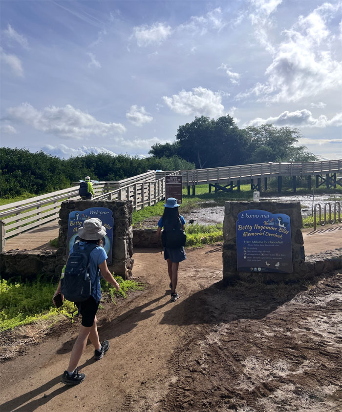
We detoured off the trail to visit the overlook that was built in 2016 to honor the McKinley High School teacher who was instrumental in establishing the Pearl Harbor National Wildlife Refuge.
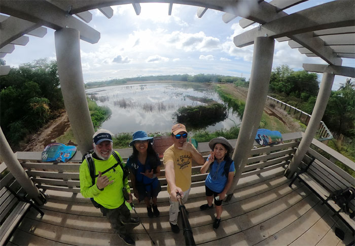
Group photo overlooking the habitat for numerous species of Hawaiian water birds.
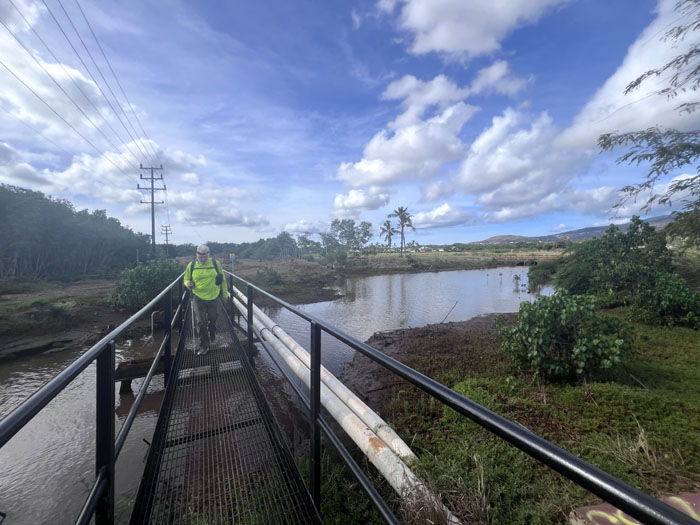
Crossing over Honouliuli Stream that also ran through West Loch Golf Course.
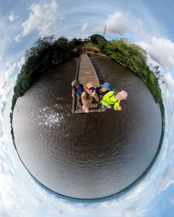
Standing on the pier that juts into the waters of Pearl Harbor. The piers were built for the State Park.
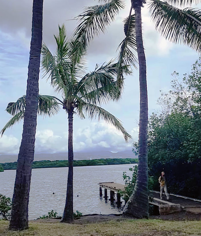
Nobody wanted to check out the second pier with me. I guess when you seen one, you seen them all.
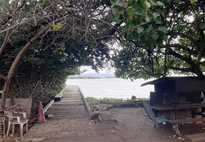
Third pier was off limits due to unsafe conditions. But it was still good enough for a hangout spot.
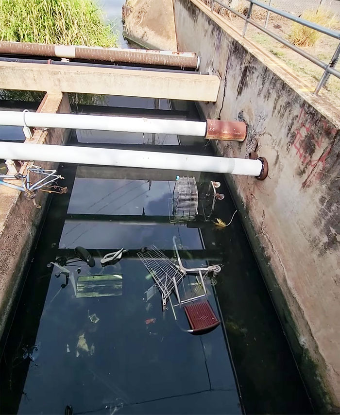
I guess the shopping cart races will have to wait.
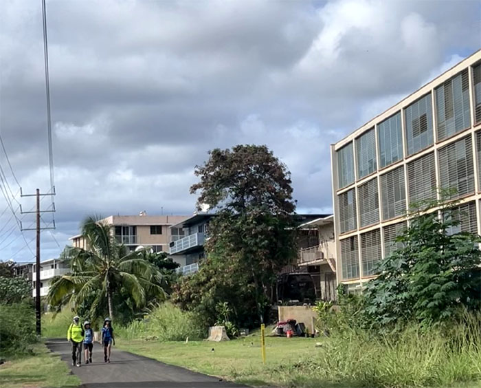
Passing the residential area.
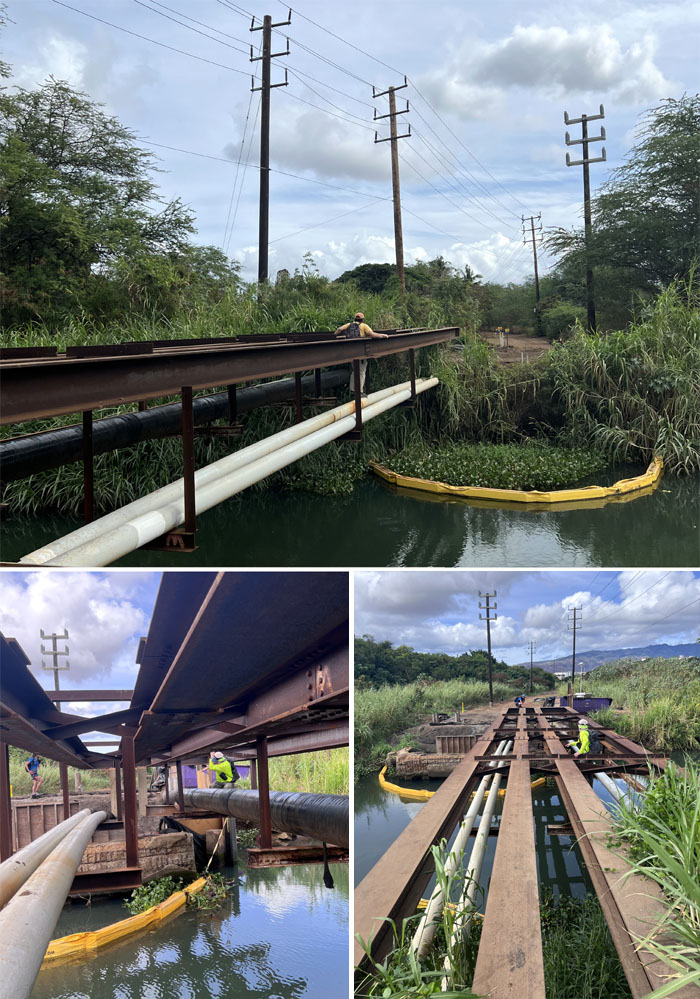
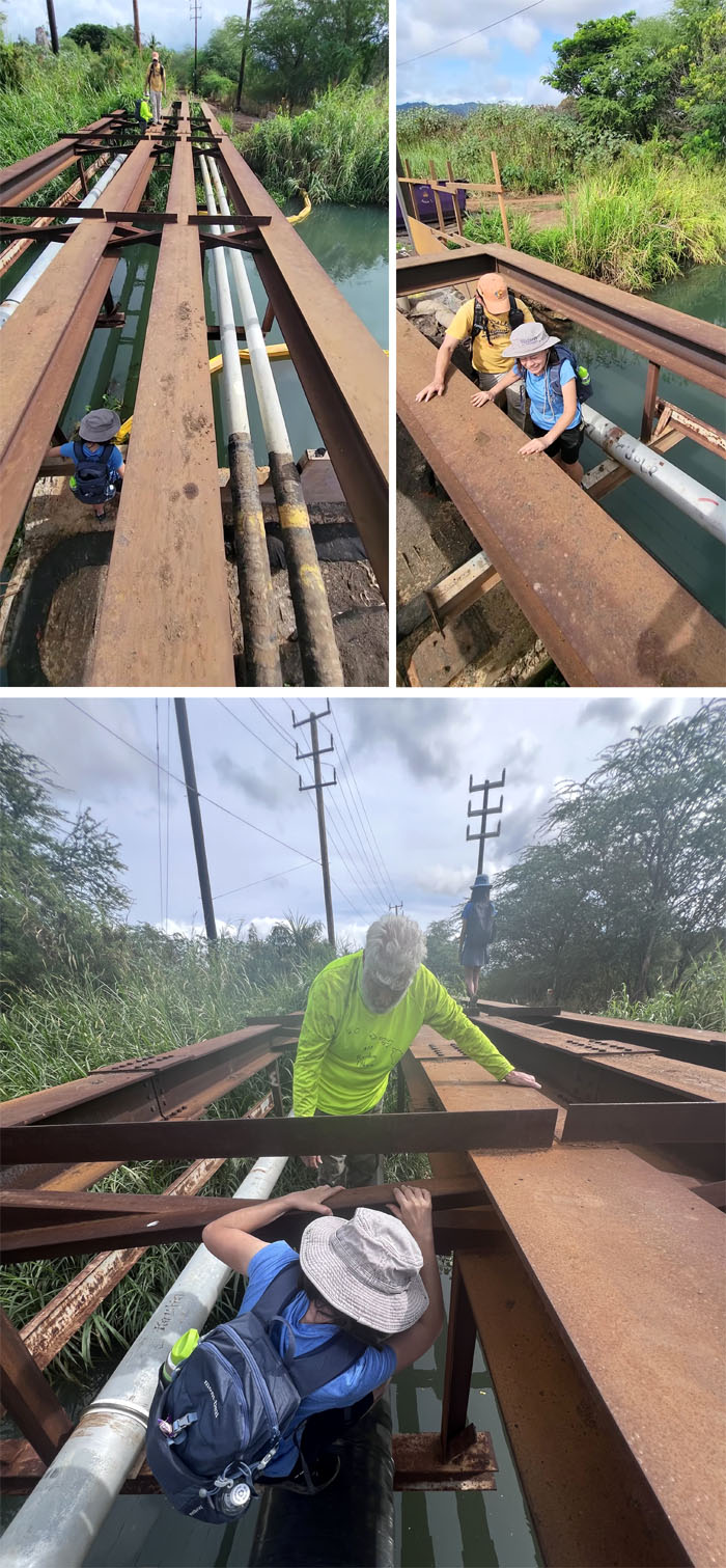
A bridge too far? We soon came across a bridge under construction over Waikele Stream.
With a little help from my friends.
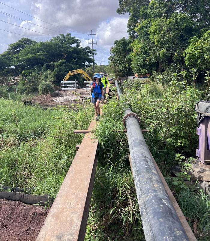
The last crossing over Kapakahi Stream was a piece of cake.
Mahalo to Lilia for picking us up on Waipahu Depot Road and taking us back to Kapolei.
Our walk covered only 8.77 miles that covered train tracks, bike paths, and partially built bridges. Fun times with good company. Post hike walk at Outback Steakhouse. Can’t get enough of that clam chowder.
Photos taken by Aida Gordon, Chico Cantu, Mari Saito, and yours truly. Not necessarily in order.
Note: I have been made aware that some hikers have been using my blog as a hiking guide and getting lost on the trails. Please note that this blog was made to document the hike for the crew(s) that did it. That is why some of my comments will seem to have no relevance or meaning to anybody outside of the crew(s) that hiked that trail. My blog was never meant as a hiking guide, so please do not treat it as such. If you find inspiration and entertainment from these hikes, that is more than enough. If you plan on replicating these hikes, do so in the knowledge that you should do your own research accordingly as trail conditions, access, legalities and so forth are constantly in flux. What was current today is most likely yesterdays news. Please be prepared to accept any risks and responsibilities on your own as you should know your own limitations, experience and abilities before you even set foot on a trail, as even the “simplest” or “easiest” of trails can present potential pitfalls for even the most “experienced” hikers. One should also always let somebody know of your hiking plans in case something doesn’t go as planned, better safe than sorry.


{ 0 comments… add one now }