
A group of us walked on the holiday that was founded in 1910 by Sonora Smart Dodd to celebrate fatherhood and complement Mother’s Day. It took awhile for the holiday to gain traction with the public until President Nixon formally made it a national holiday in 1972.
Waimea
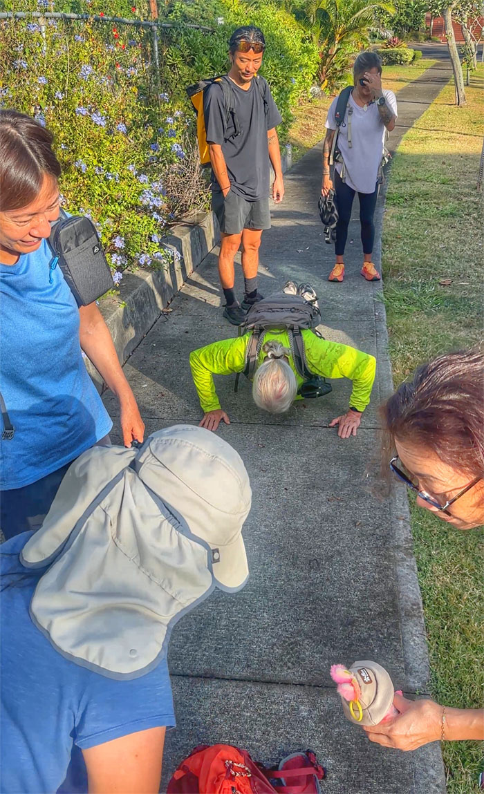
Some did pushups to warm up at our meeting spot, while others checked out the latest fad from Nordic folklore through Hong Kong.

Dillingham Airfield
Thanks to Lilia and Jeremy for shuttling us to our starting point that started as Camp Kawaihapai in 1922, then Mokuleia Airstrip in 1941 and Dillingham Airfield in 1948 and full circle to Kawaihapai Airfield in 2001. But most locals still call it Dillingham Airfield. Old habits die hard.
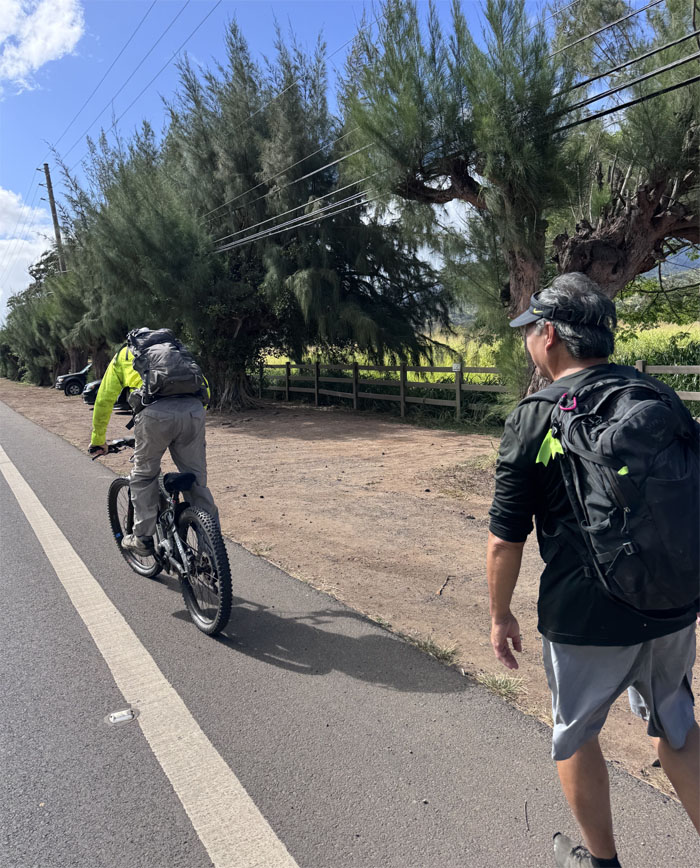
Dillingham Airfield
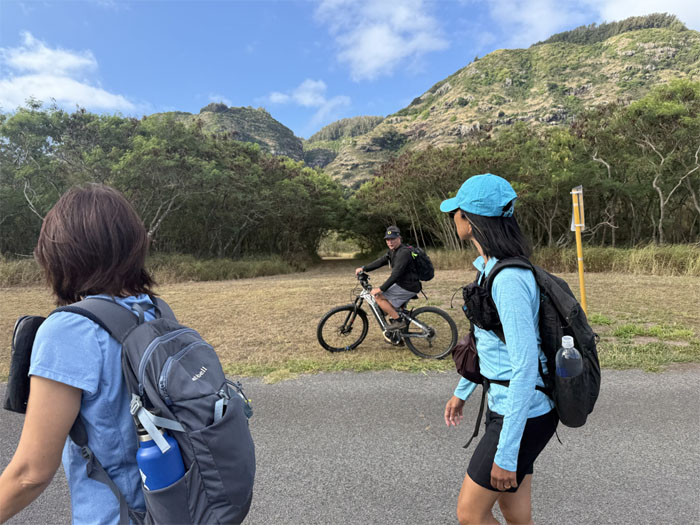
Edgar met us on his e-bike to keep us partial company today.
Dillingham Airfield
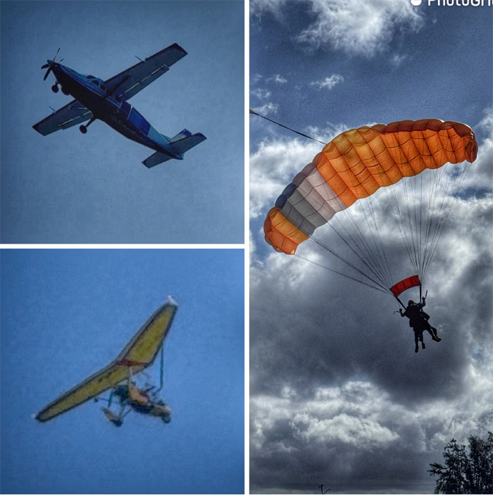
Look, up in the sky! It’s a glider! It’s a plane! It’s skydivers!
Dillingham Airfield
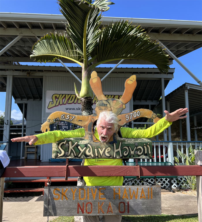
The closest we will come to jumping out of a perfectly good airplane today.
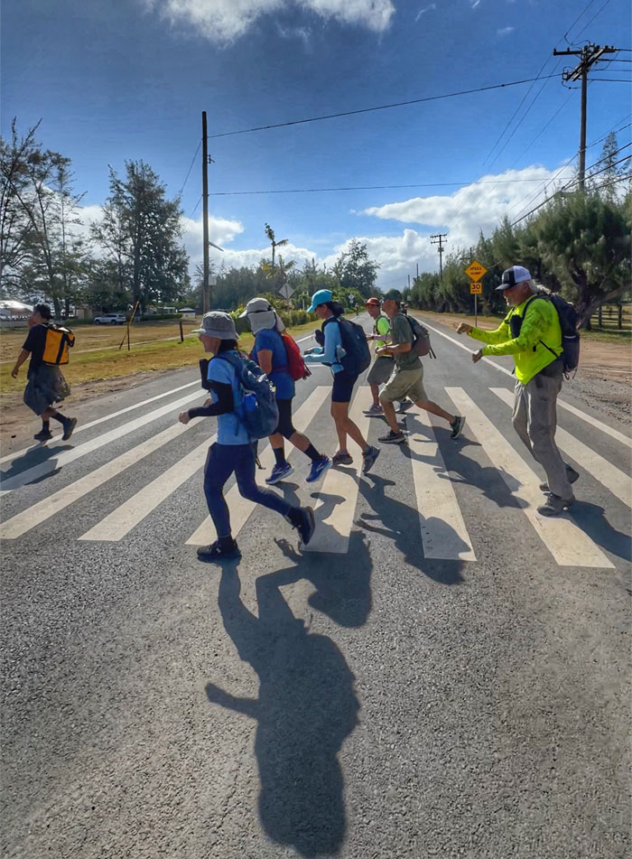
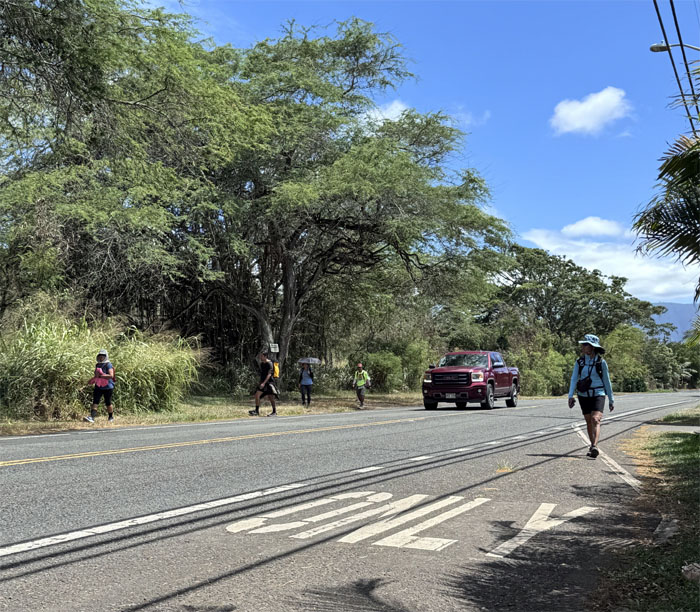
Farrington Highway
Pedestrians have the same crossing rights as equestrians.
Farrington Highway
Chico taking a break from walking.
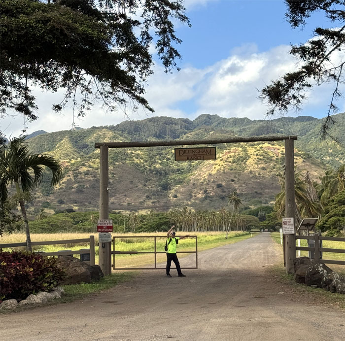
Farrington Highway
Entrance to Dillingham Ranch that was founded in 1897 and was sold to the Nolan family in 2023 for 36.5 million dollars.
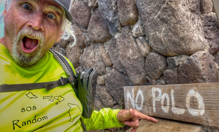
Farrington Highway
Where there is no polo, there can be no marco.
Farrington Highway
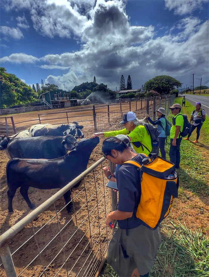
I didn’t know they had a petting zoo around here.
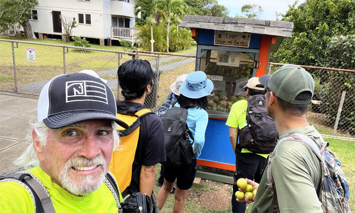
Mahinaai Street
The group checking out one of the fruit and vegetable stands on the road. What’s in your hand Akira-san?
Crozier Drive
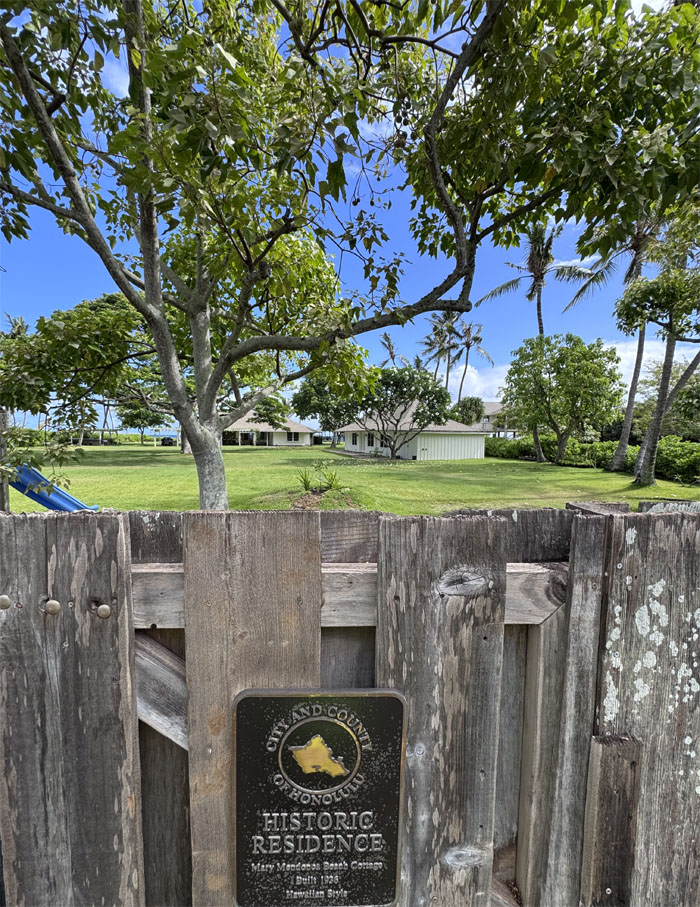
Many of these older homes are considered historic and are granted tax exemptions and in return must grant the public viewing access that is not obstructed.
Crozier Drive
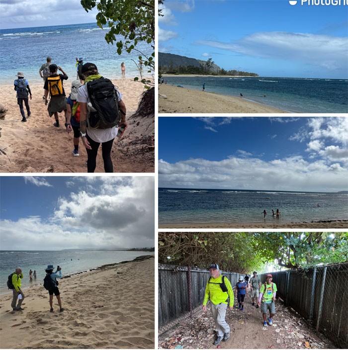
Exploring Crozier Beach that was accessed through a public corridor. There is a growing entitlement among migrant wealthy owners who seek to gentrify local areas by restricting public access to beaches which run contrary to State law that mandates all beaches are public. Money talks, locals walk.
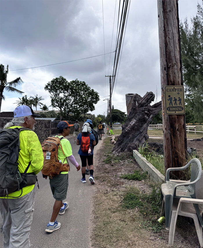
Crozier Drive
We didn’t see any campers, just hikers.
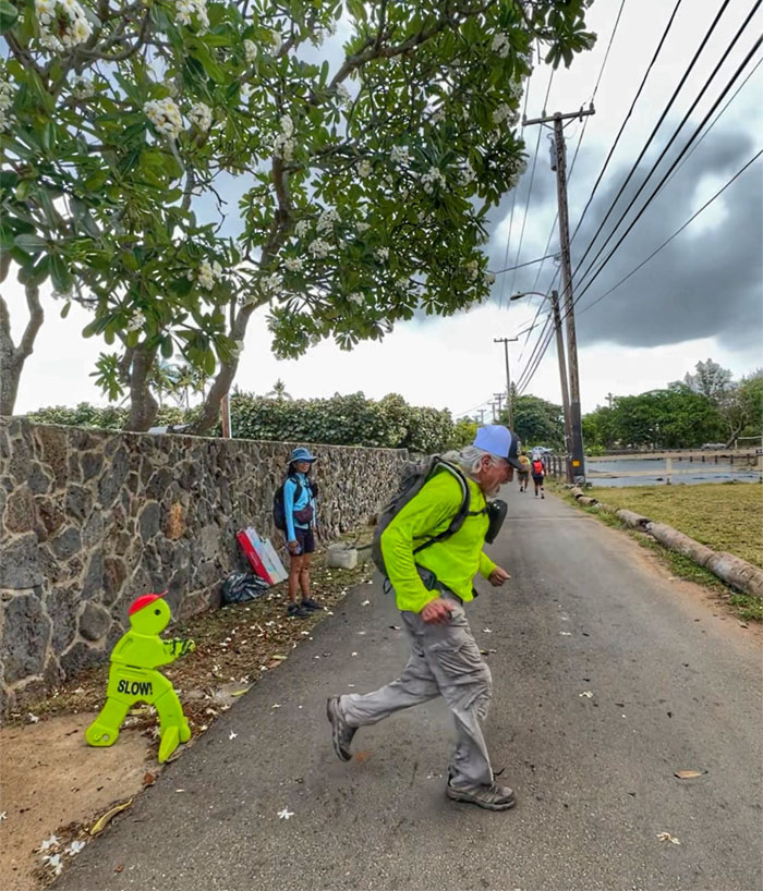
Crozier Drive
Art imitating life.
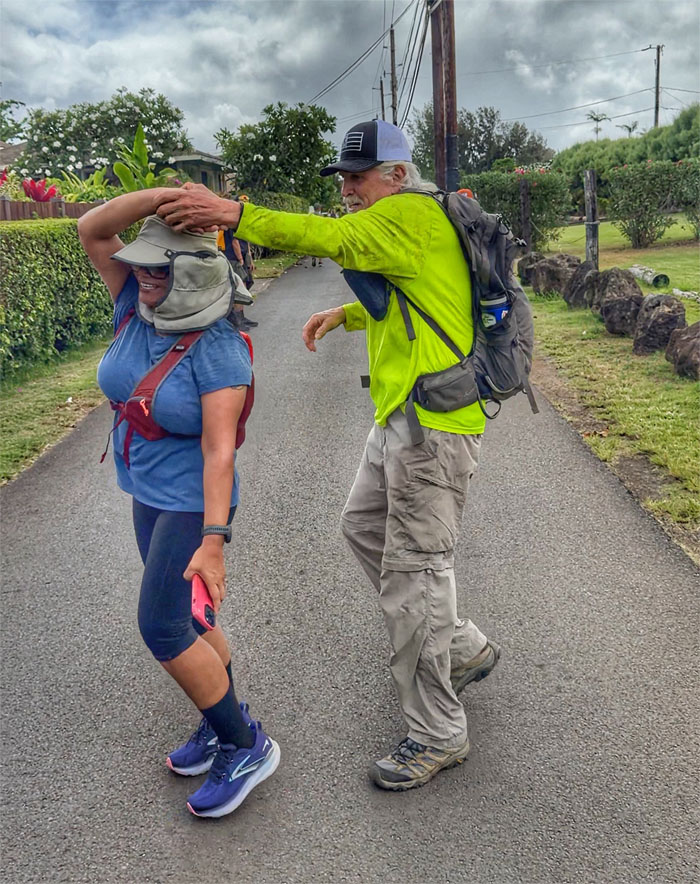
Crozier Drive
Public dancing or stretching.
Crozier Drive
Looking for affordable beachfront housing. Barking up the wrong tree?
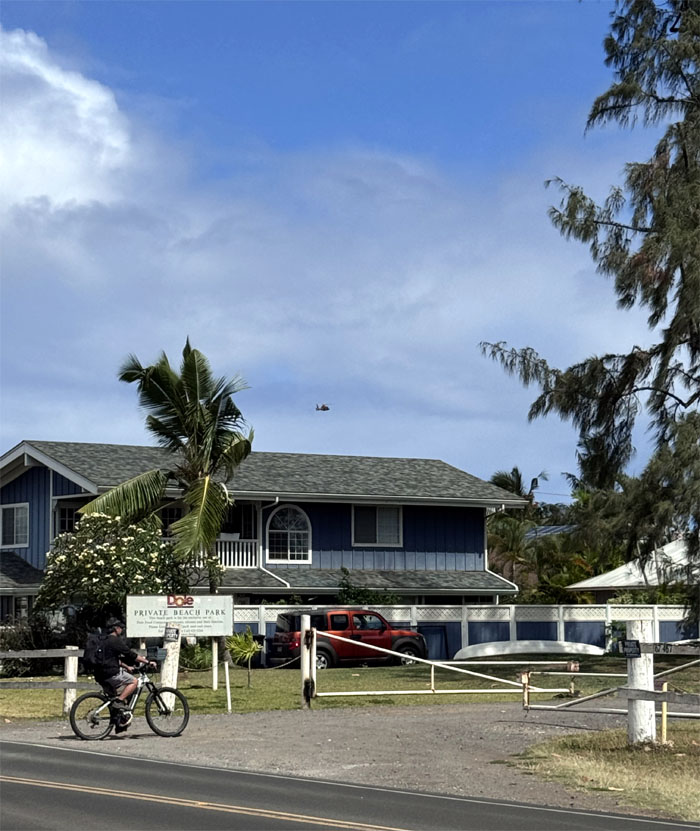
Waialua Beach Road
Edgar riding by the Pu’uiki Beach Park which is privately owned by Dole Food Company. Public beach access?
Waialua Beach Road
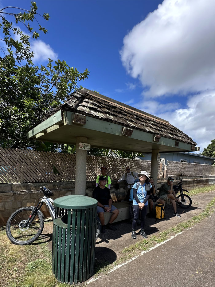
The bus stop served as our temporary resting spot where Jeremy joined us on his electric bike.

Waialua Beach Road
Public papaya pickers.
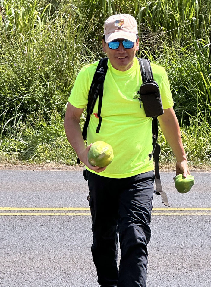
Waialua Beach Road
We got papayas, now all we need is a chicken.

Waialua Beach Road
You can keep the cash reward. Chicken papaya sounds pretty good right now.
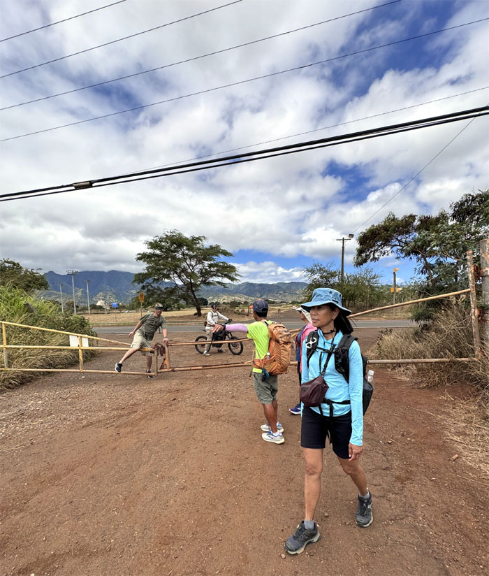
Cane Haul Road
We going that way. You go that way.
Cane Haul Road
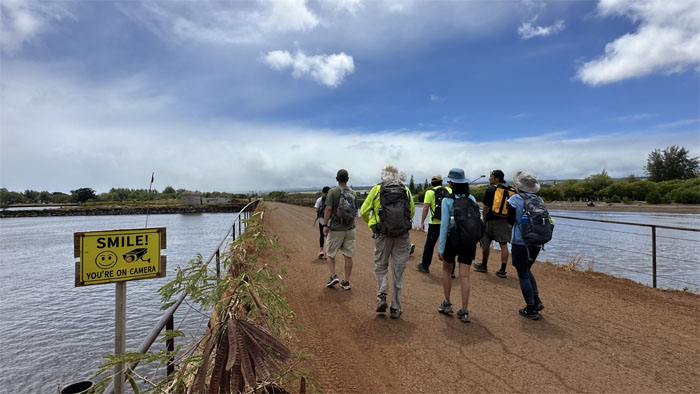
Did everybody smile?

Cane Haul Road
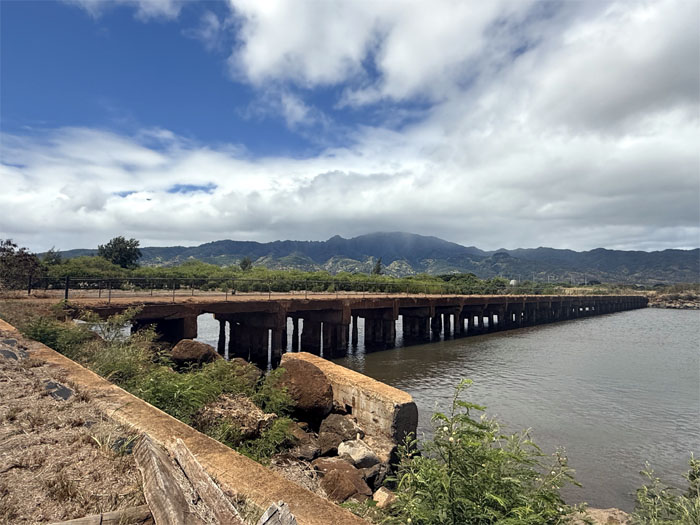
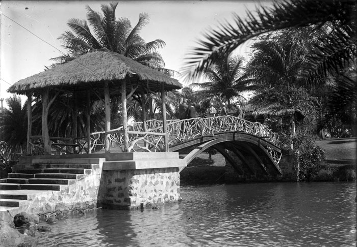
Railings were a late addition to the bridge. Safety first.
Cane Haul Road
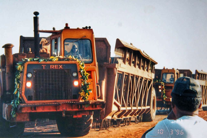
Photo provided courtesy of Dale Yoshizu which I believe shows the last run of those giant cane hauler trucks across the Cane Haul Bridge on October 3, 1996, which marked the last day of the Waialua Sugar Mill, the last of its kind in the islands.
Cane Haul Road
Looking back at the roughly 420′ bridge that crosses over the waters of Kaiaka Bay.
Cane Haul Road
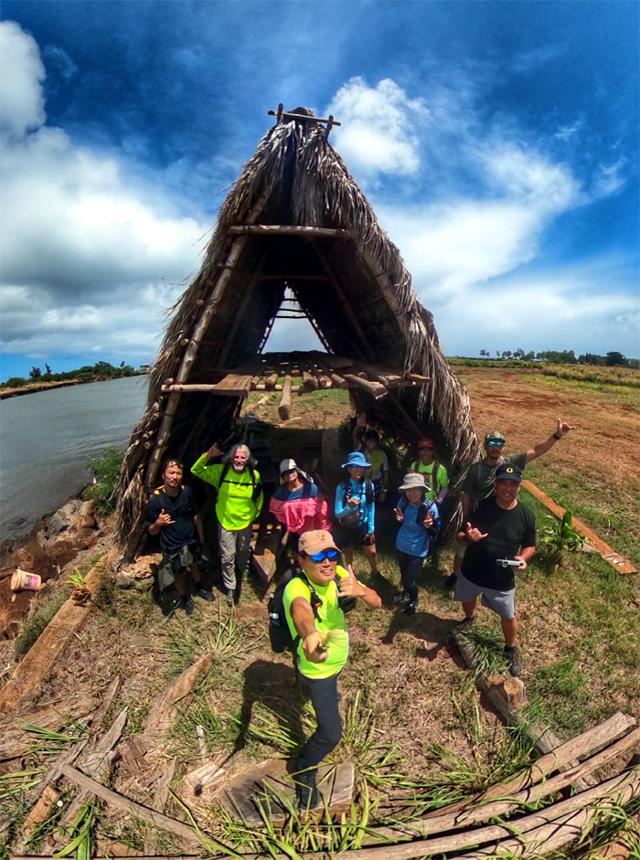
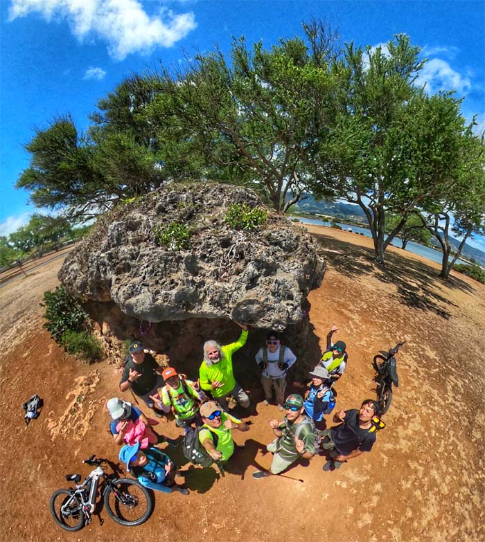
Group photo in front of what most people think of when you say grass shack. This particular one was sheltering a couple of canoes.

Kaiaka Bay
Walking from the road to the beach to the park.
Kaiaka Bay Beach Park
Group photo in front of the rock known as Pohaku o Lana’i, the two rocks seemingly stacked and balanced on top of each other resembles a giant mushroom, legend has it that the rocks floated ashore from the mythical land of Kahiki.
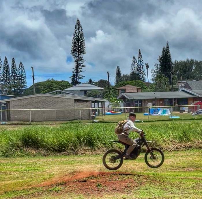
Kaiaka Bay Beach Park
Jeremy getting some air time as he leaves no carbon footprint. Until he charges his bike. Edgar packed his bike in the car and went home to celebrate his day.
Kaiaka Bay Beach Park
Something is out of place on the Bill and Peggy Paty monument, can you spot it?
Haleiwa Road
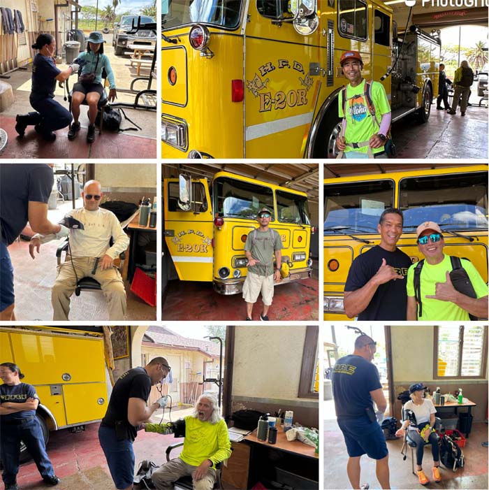
We stopped at the Waialua Fire Station to get our blood pressure checked, saw an old co-worker and just to take photos.
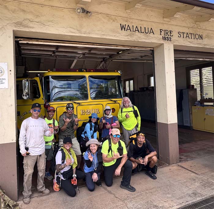
Haleiwa Road
Group photo in front of the 93-year old fire station that sits in a flood and tsunami zone. Five acres of land was purchased from Dole in 2020 to build a new fire station but then they found out that it also sits in a tsunami zone. You can’t make this stuff up.
Haleiwa Road
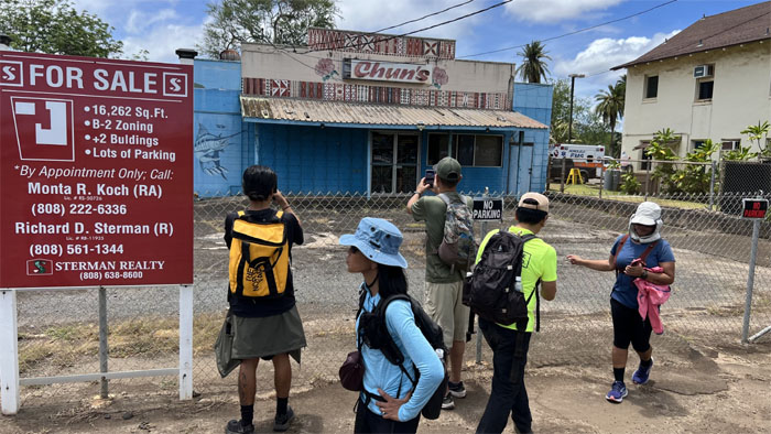
Checking out the shuttered Chun’s Store and Market that was a fixture in the Haleiwa community since 1946.
Haleiwa Road
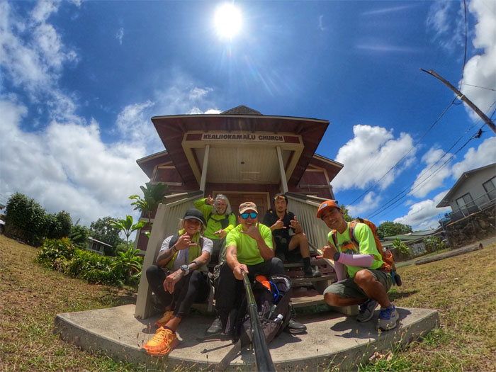
Partial group photo in front of Kealii O Malu Church that was built in 1939, services are held every Sunday at 10am.
Haleiwa Road
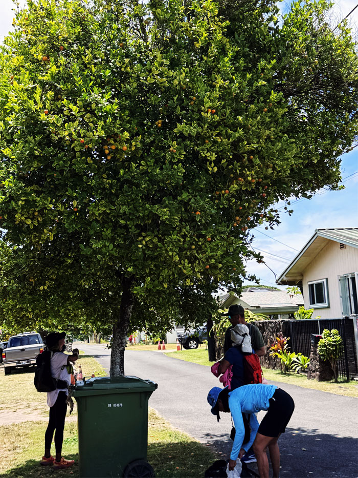
The rest of the group was more interested in picking calamansi from the nearby tree than praying.
Haleiwa Road
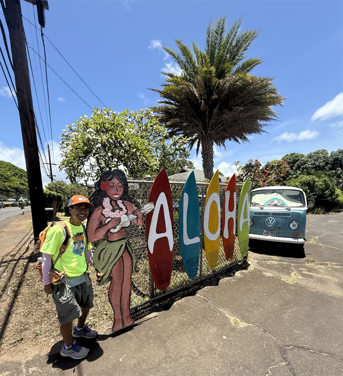
I don’t know if Dale wanted to take his photo with the pretty wahine or the vintage VW bus.
Haleiwa Road
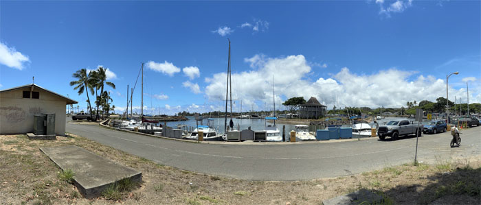
Passing Haleiwa Boat Harbor that was built in 1966 at the mouth of the Anahulu River.
Haleiwa Road
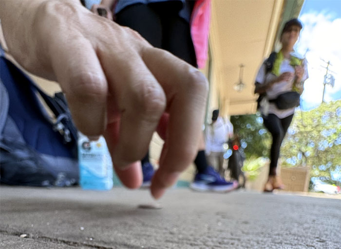
Mari plucking a penny off the pavement in front of 7-11 where we had stopped to refresh ourselves. Find a penny, pick it up, and all day long you’ll have good luck.
Kamehameha Highway
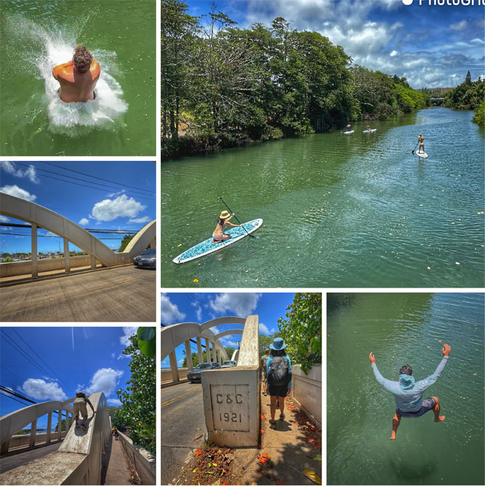
Watching people climb and jump off the Rainbow Bridge constructed in 1921 and paddlers going up Anahulu River that once teemed with edible marine life, but now is polluted ever since Haleiwa Harbor was built in 1966.
Anahulu Bridge
The original wooden bridge built in the early 1900s that served to facilitate mostly horse drawn carriage traffic into town until a tractor in 1915 destroyed the bridge.
Kamehameha Highway
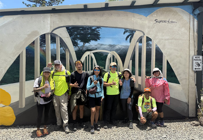
Group photo in front of the current Anahulu Bridge.
Kamehameha Highway
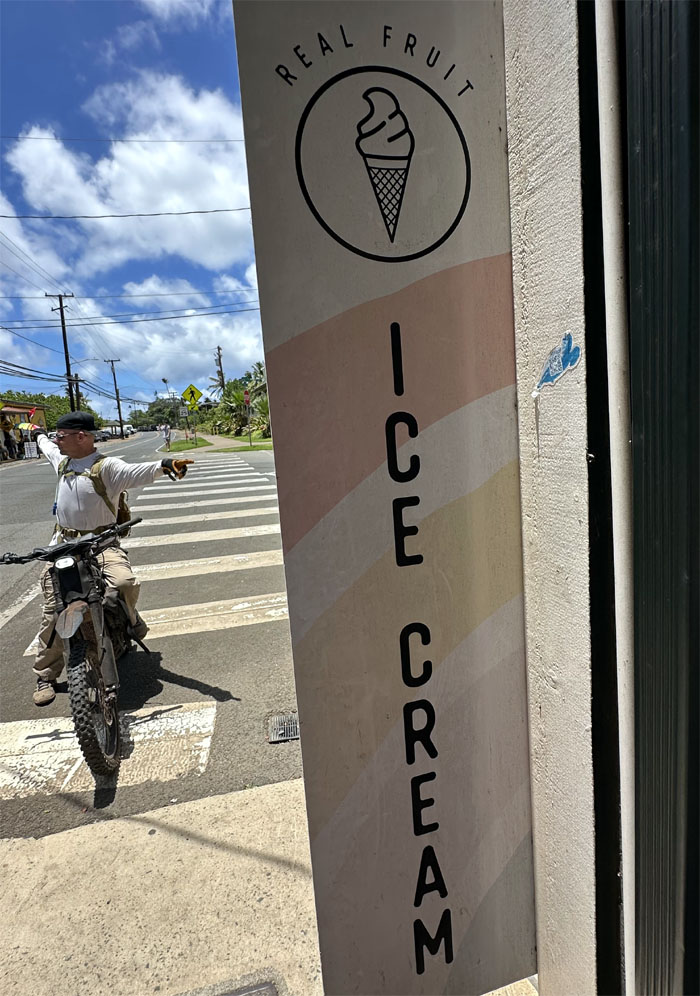
Entering Haleiwa town, that was founded by Benjamin Dillingham in 1898. Jeremy directing traffic or giving directions as some of us stopped to grab some fruity ice cream. Quite a treat for our taste buds.
Kamehameha Highway
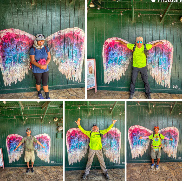
Aspiring and fallen angels.
Kamehameha Highway
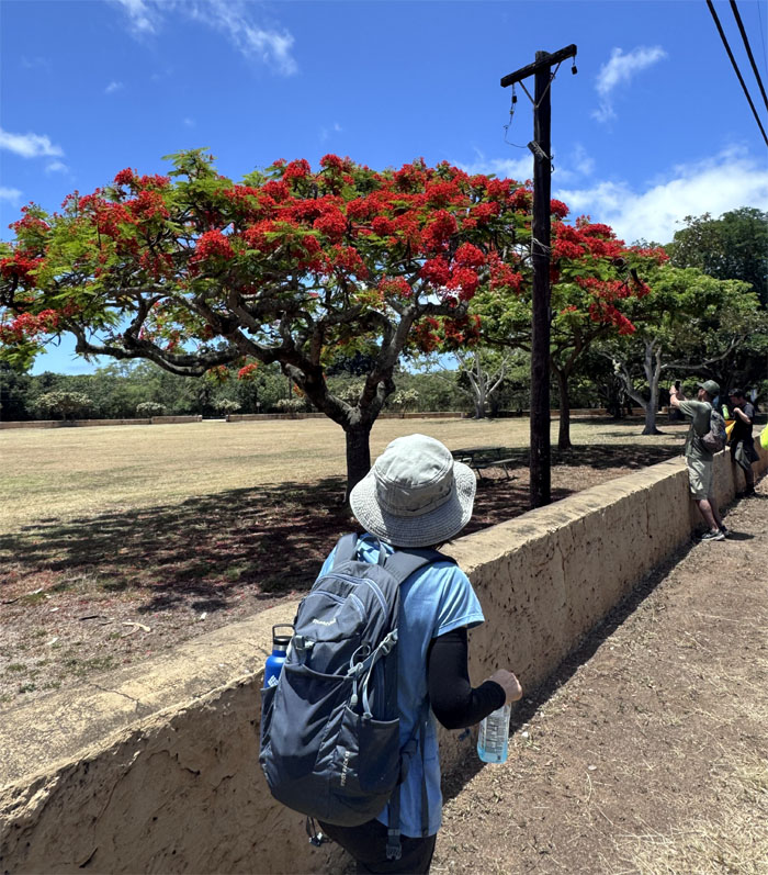
Passing Haleiwa Beach Park and admiring the crimson flower trees bordering the park that was constructed in 1939.
Kamehameha Highway
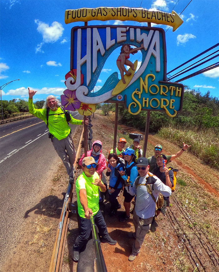
Group photo at the sign that had its genesis in 1996, graffiti and vandals soon rendered the sign a shadow of its former self in 2005, as perpetrators had sawed off the surfer and only left the feet on the surfboard. Japanese surfboard shaper, Tatsuro Ota volunteered on his own to repair and rebuild the male surfer. However, in 2006, the original artist who made the signs, Carole Beller, took down Ota’s replacement and replaced it with the current female surfer you see in the photo. Copyright protection.
Kamehameha Highway
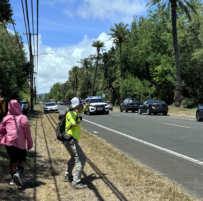
Chico helping direct traffic so HPD can get to where they are going. The civic duty is strong in this one.
Kamehameha Highway
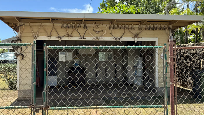
Take a wild guess as to who lives here.
Kamehameha Highway
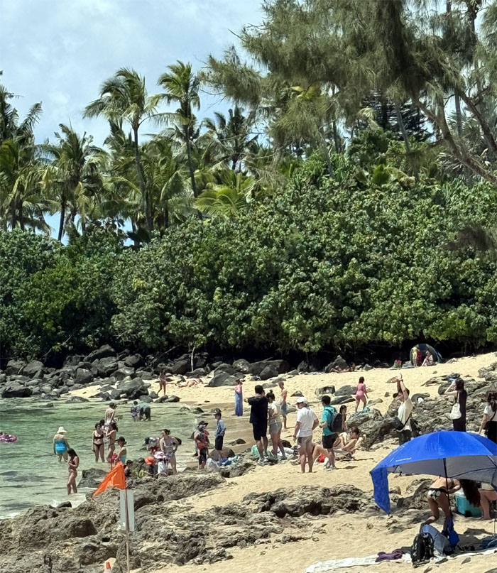
No turtles. Only beachgoers. Nothing to see here. Move along.
All pau
Approaching the side street where our cars were parked.
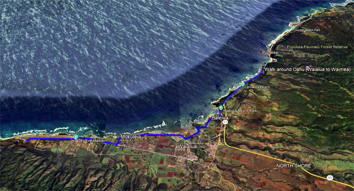
GPS Tracks
Our Father’s Day walk covered 11.9 miles with good company and fun times. Aida went to eat in solitude on the North Shore. The rest of us tried Waiahole Poi Factory and discovered it was closed so we decided on Saito and Pho to have our post hike meal.
https://www.youtube.com/watch?v=kPdGUTkNcVk
Video by Edgar Gamiao of our walk #9.
Photos taken by Aida Gordon, Akira Suzuki, Alexis Catarina, Chico Cantu, Dale Yoshizu, Edgar Gamiao, Jeremy Cannone, Kenny Lui, Mari Saito, Tessa Bugay and yours truly. Not necessarily in order.
Note: I have been made aware that some hikers have been using my blog as a hiking guide and getting lost on the trails. Please note that this blog was made to document the hike for the crew(s) that did it. That is why some of my comments will seem to have no relevance or meaning to anybody outside of the crew(s) that hiked that trail. My blog was never meant as a hiking guide, so please do not treat it as such. If you find inspiration and entertainment from these hikes, that is more than enough. If you plan on replicating these hikes, do so in the knowledge that you should do your own research accordingly as trail conditions, access, legalities and so forth are constantly in flux. What was current today is most likely yesterdays news. Please be prepared to accept any risks and responsibilities on your own as you should know your own limitations, experience and abilities before you even set foot on a trail, as even the “simplest” or “easiest” of trails can present potential pitfalls for even the most “experienced” hikers. One should also always let somebody know of your hiking plans in case something doesn’t go as planned, better safe than sorry.
{ 4 comments… read them below or add one }
Awesome video and great research!
Mahalo Chico!
Haha… funny captions
So much fun that day, but kinda long walk
Aloha Tessa,
Always fun times with the crew.
Mahalo