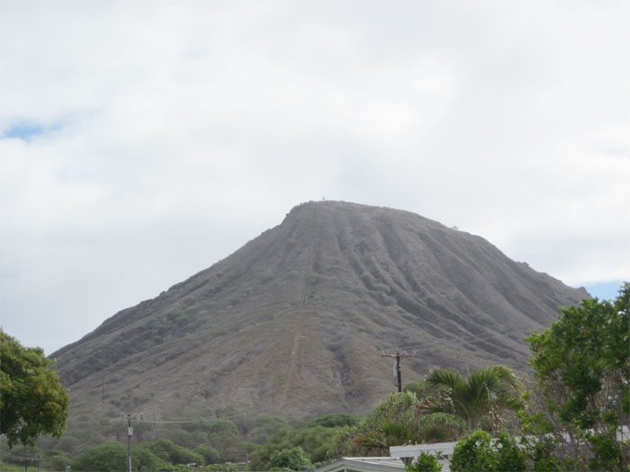
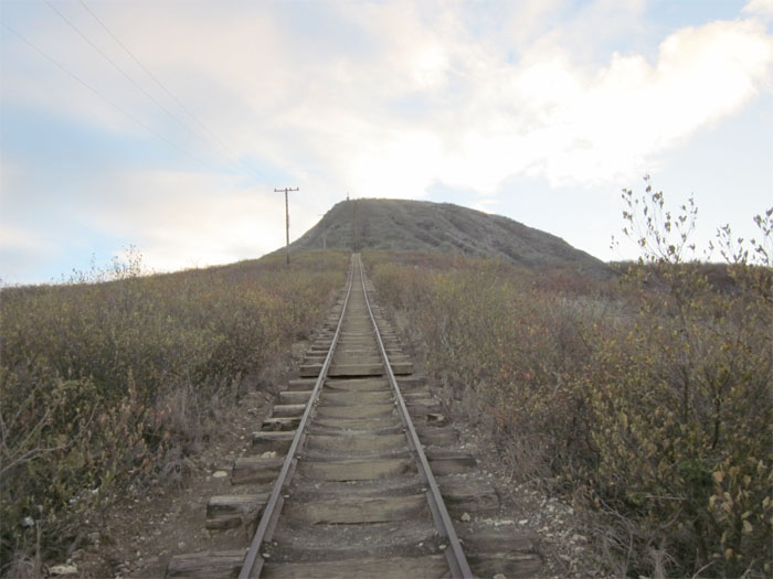
Koko Crater at 1,028 feet high, dominates the Hawaii Kai skyline. If you look closely, you can usually find ants of people going up and down the mountain. After reading countless posts about what a great hike this is and how it beats a stairmaster, I decided to give it a try. After driving into Koko Head District Park and parking next to the baseball field named after Mike Goeas, a former police officer that founded the PAL football program in Hawaii Kai. I followed the road until I hit the tram tracks that starts the climb towards Koko Crater.
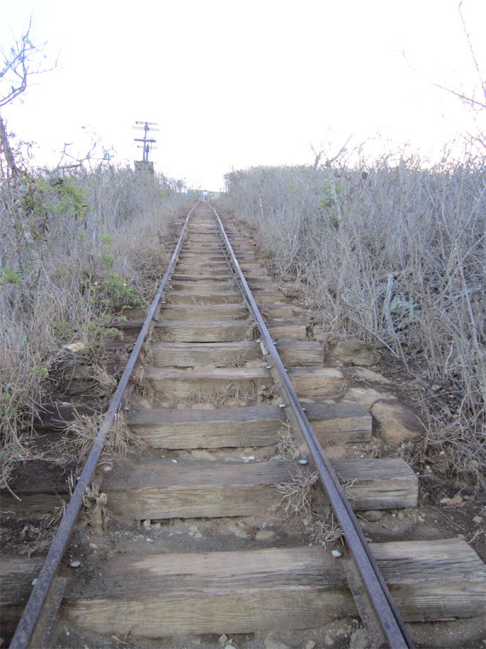
There are reputedly 1,048 railroad ties or steps to the top. The tram tracks was built by the Army during WW2 to haul supplies to the top of the mountain. And no, I didn’t bother to count the steps going up. I was too busy just trying to make it to the top!
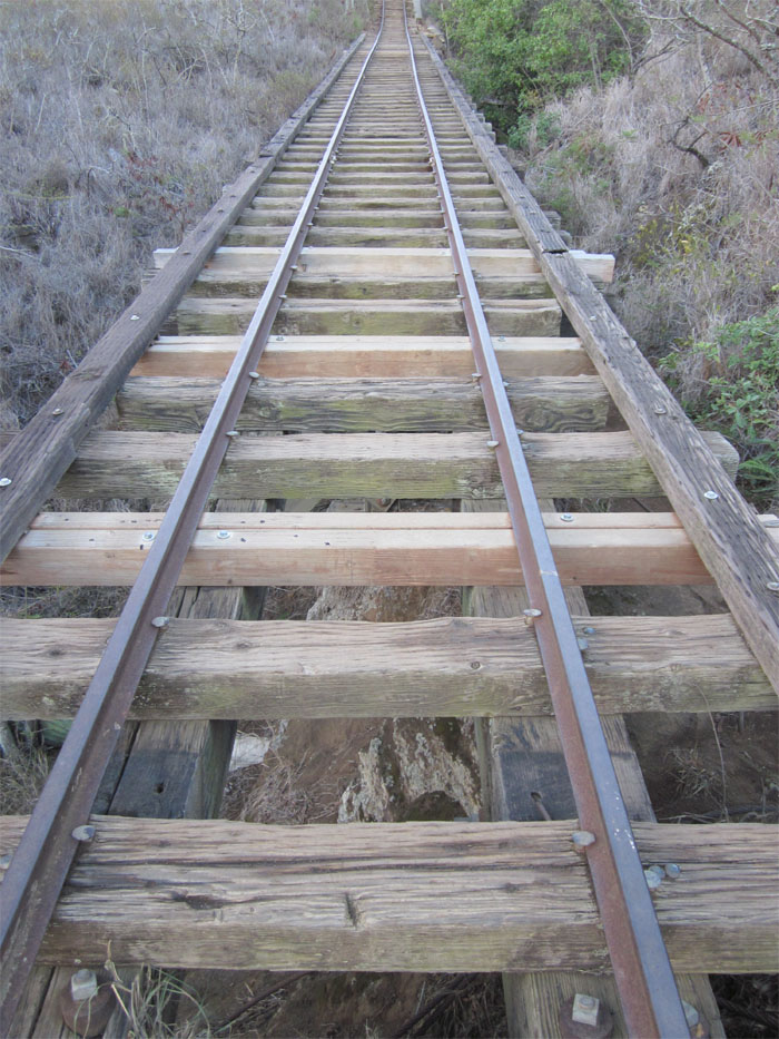
About half-way to the top, the ground gives way to a gully that’s about 10-15 feet deep. So now, the tram tracks serves as a bridge of sorts. It was around this point, that I kicked myself for leaving my water bottle in the car. I thought I wouldn’t need it. Wrong! The sun beating down on me didn’t help matters much. I thought about going back to get the water, but knew if I did, that I wouldn’t be coming back. So after a break, I continued my climb to the top.
About 50 feet or so, the gully ends and the tracks are back on solid ground. For those leery of heights or not as sure-footed, there is a trail to the right that goes around the gully and connects to the tracks when it meets solid ground again.
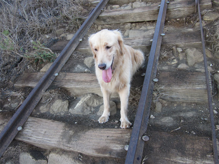
I felt sorry for this dog, as he didn’t look too keen on making this climb. At least, he was going back down. Coming down, hikers and dogs have the right of way, just step to the side and let them pass.
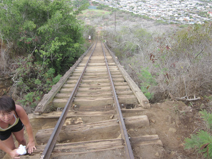
I believe this is the steepest part of the mountain. When I finally made it to the top, I found two older women chatting away, congratulating me on getting to the top. They told me that they do this every week! I really need to get back into shape!
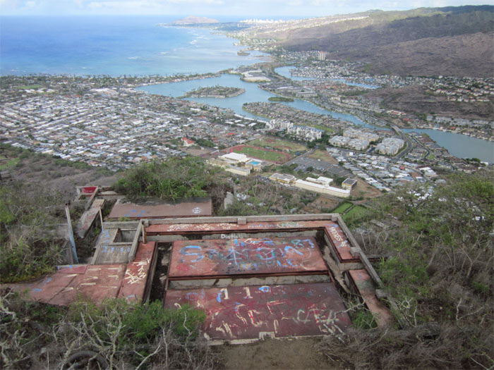
It took me roughly 35 minutes to make it to the top of Koko Crater or Pu’u Ma’i. I heard the “regulars” shoot for 20 minutes and some even run up and down the tracks. I was happy with my time! You can see Kuapa Pond in Hawaii Kai and Diamond Head in the distance from the top of the abandoned heliport.
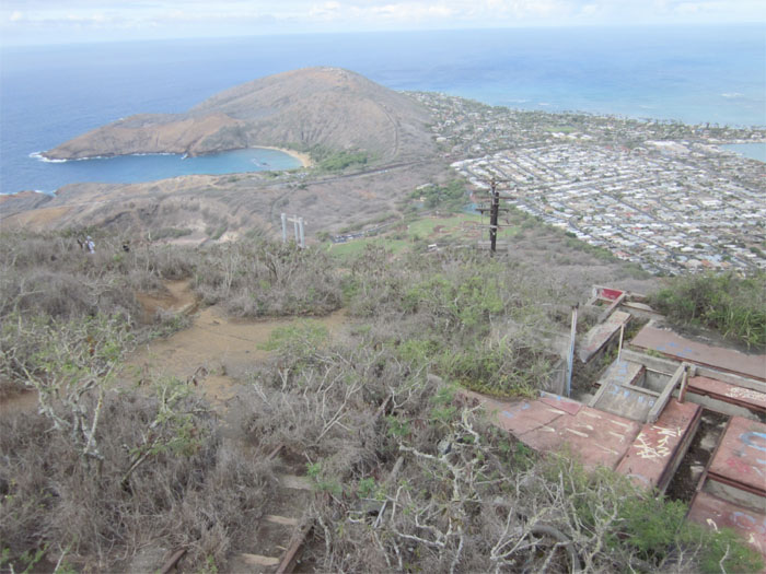
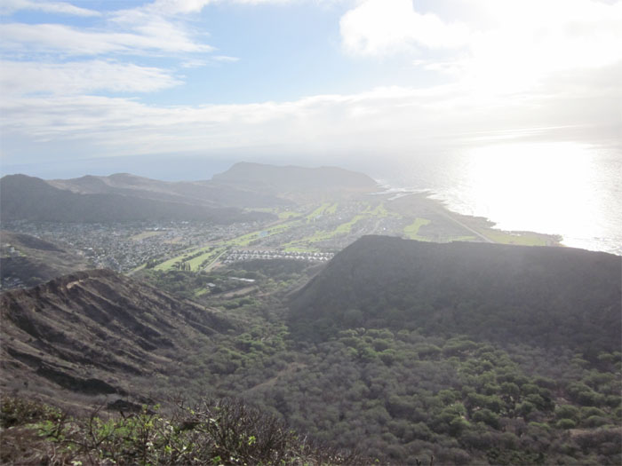
Looking to the left, you can see the breached volcano crater of Hanauma Bay and the companion tuff cone of Koko Head.
Peering over the crater rim of 200 acres of the Koko Crater Botanical Garden, looks all the same from up here! You can also see Makapu’u Point in the distance. After soaking in the views, it was time to go back down and guzzle my water that I left in my car! This hike is relatively easy, as it’s straight going up and down, parts of the ground supporting the tram tracks are eroded and you just have to watch your step, especially going down and always bring water.

{ 0 comments… add one now }