
Strong winds scattered our original saddle plans today and blew us to another part of the mountains. Thanks to Chico for dropping and picking us up.
Hahaione
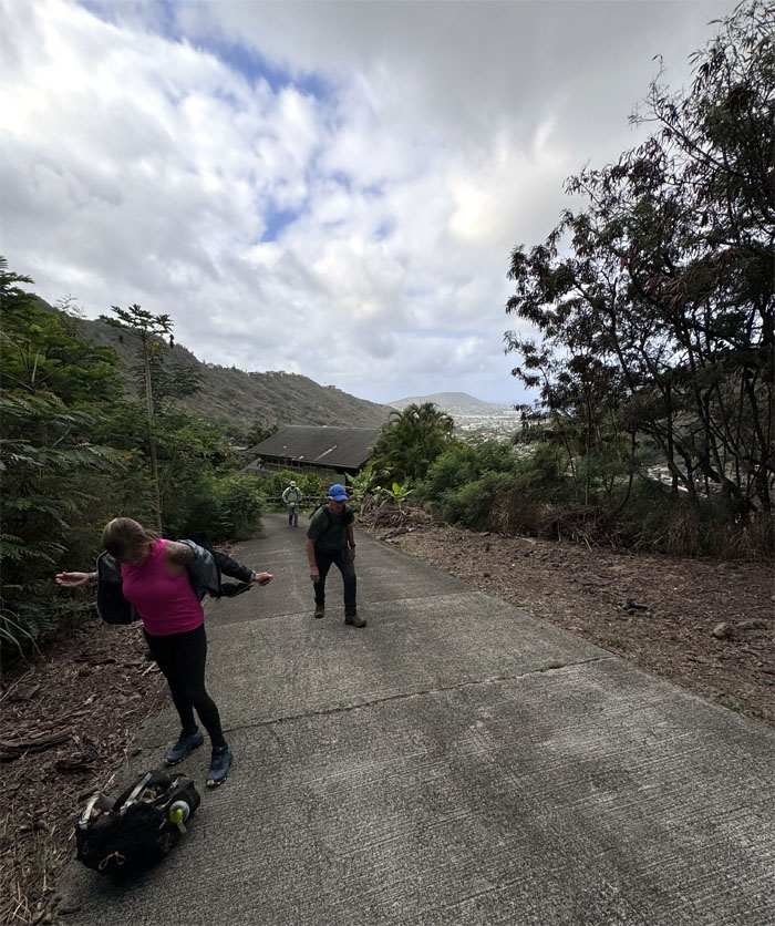
Mahalo to Kenny and Roger for shuttling us to our new starting point for today. What started out as a chilly morning quickly turned oppressively humid.
Hahaione
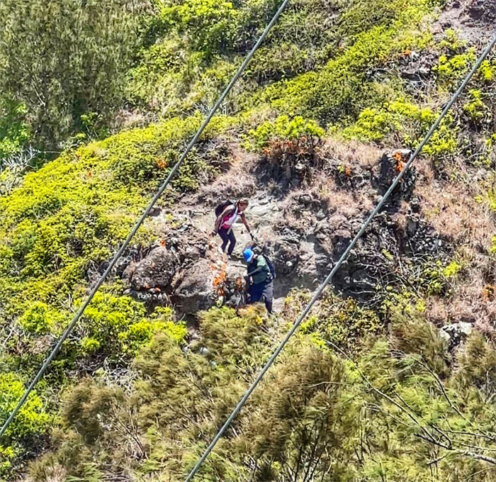
We went “exploring” and Alexis twisted her ankle on the return trip back. She slapped Scott’s compression sleeve on her stretched ligaments and was back on her feet.
Hahaione
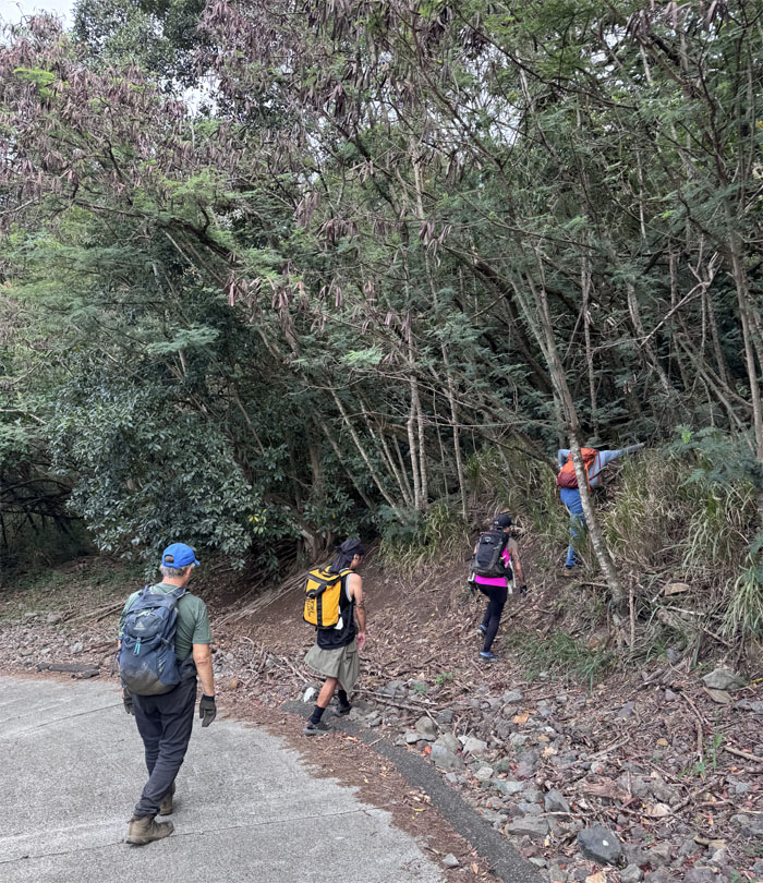
Making our way to the fence line. The correct fence line.
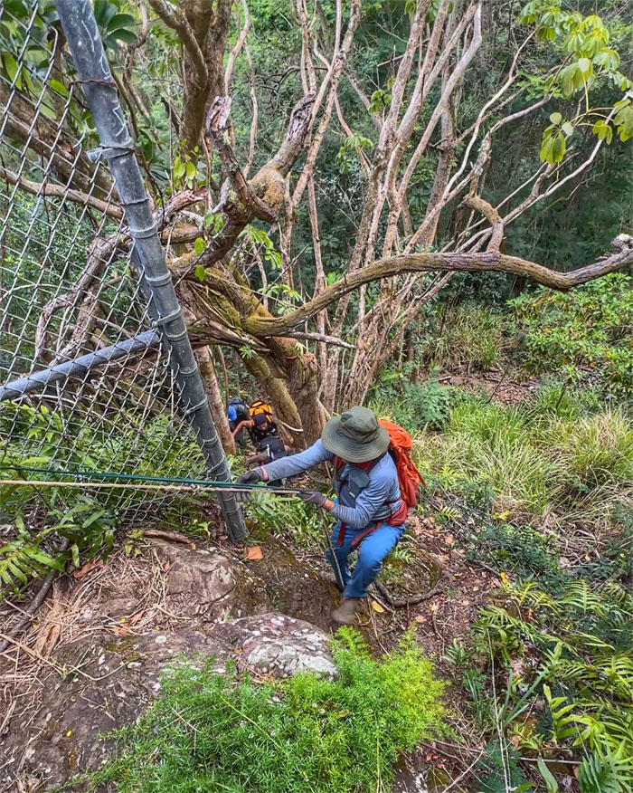
Hahaione
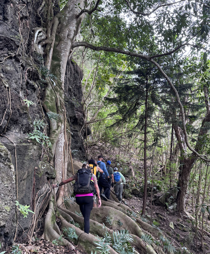
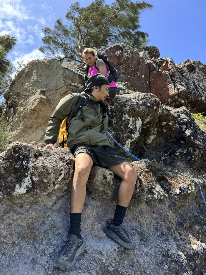
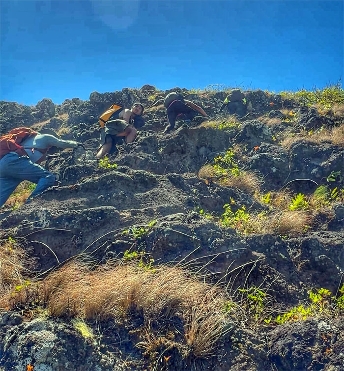
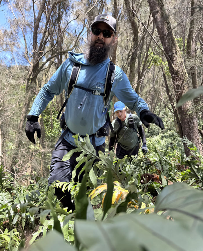
Jeremy pulling himself up as we scrambled our way to the spur ridge line.
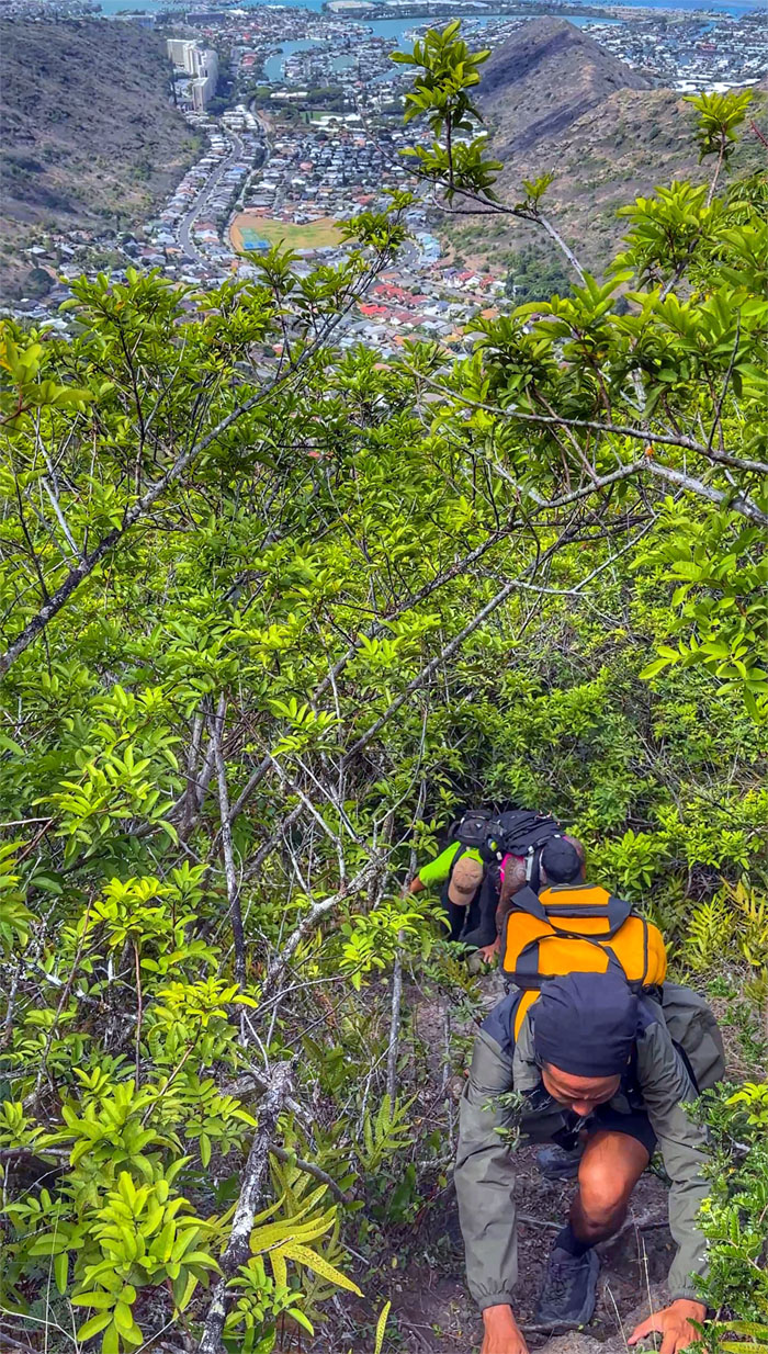
Hahaione
It was a huff and puff cardio climb towards the top.
Hahaione
We were within spitting distance of the summit. Then again, with the strong winds blowing, it might have ended up back in our faces.
Hahaione
Sitting life on the edge while overlooking the valley that used to be home to fishponds and sweet potatoes before contact with Europeans. Too risky standing.
Hahaione Summit
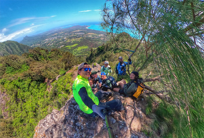
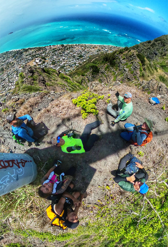
Group photo at the summit that was being actively cooled by extremely strong trade winds.
Hahaione Summit
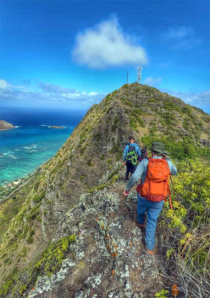
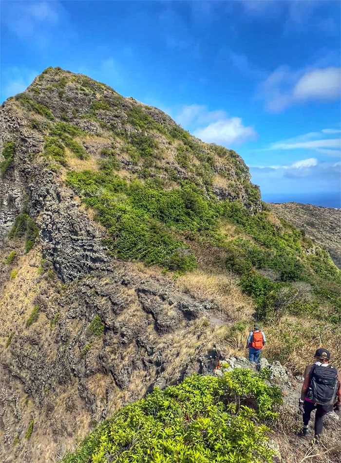
The point of no return. Who will you listen to? Choose carefully.
Hahaione Pyramid
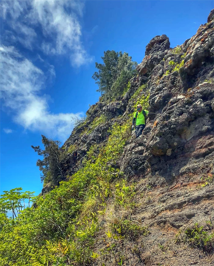
Descending down the direct way.
Ko’olau Summit Ridge Trail (KSRT)
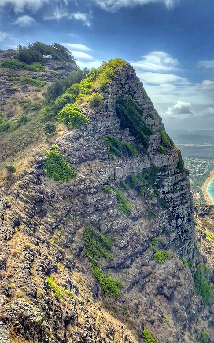
Back on solid footing with the background rock structure that bears a passing resemblance to a triangular shape.
KSRT
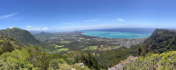
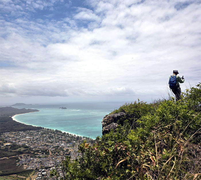
Our office view today.
KSRT
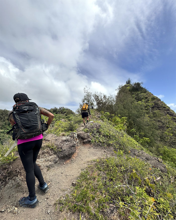
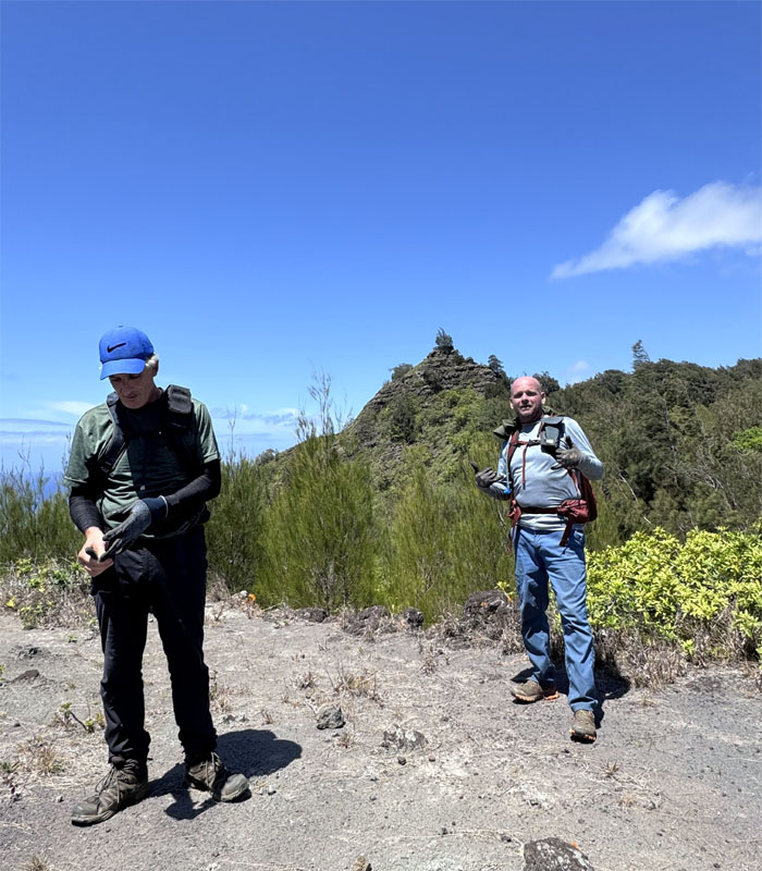
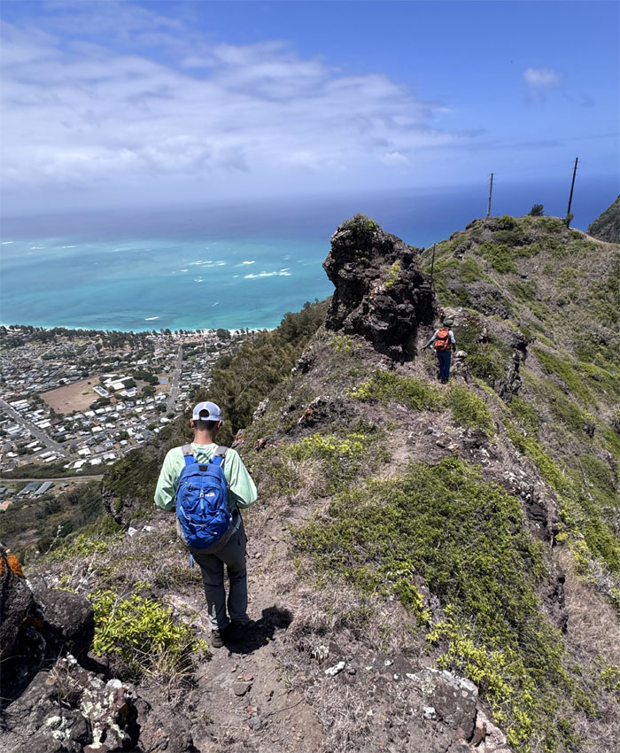
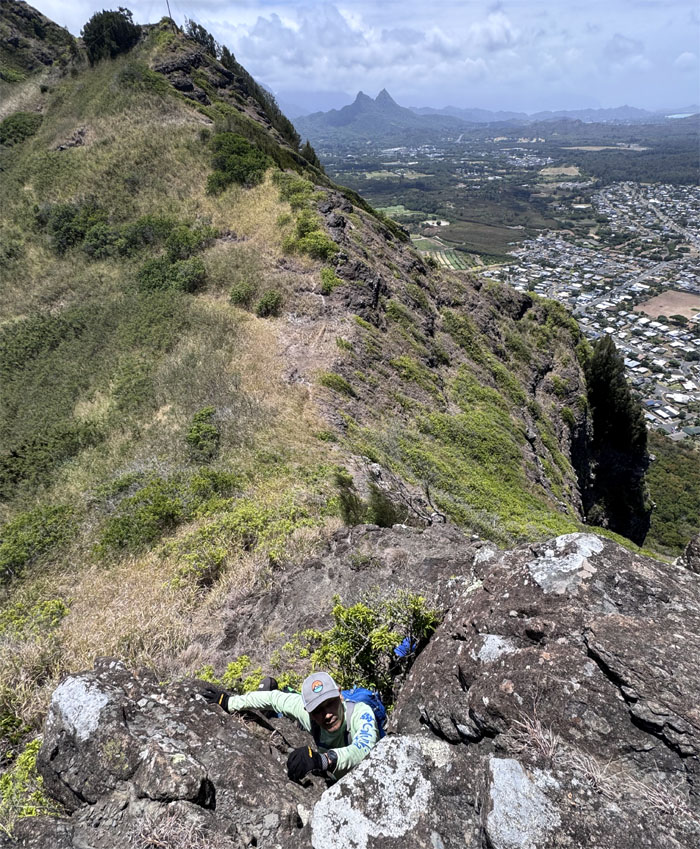
Climbing our way towards the second summit on the trail.
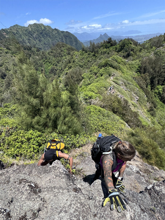
KSRT
Alexis and Kenny testing their handholds and footholds as they near the top.

KSRT
What’s for lunch? Red miso soup with rice and ontama. Thank you Chef Suzuki.
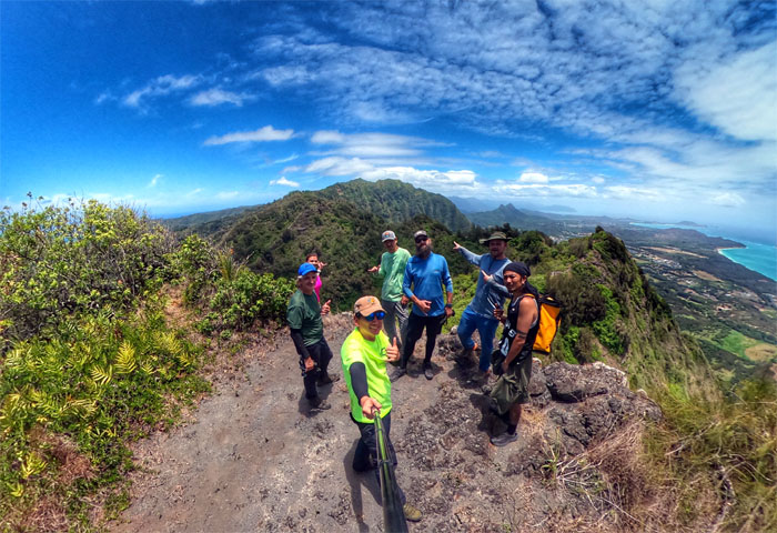
Mariner’s Ridge Summit
Group photo on Kaluanui Summit, the place that Kamehameha Schools would like you to forget, as they shut down the trail back in 2013.
KSRT
Our bellies full and with the wind at our back and in our faces, we resumed our hike.
KSRT
Scott and Roger catching up with the group as they were looking for Roger’s phone that had slipped out of his case on the trail. No need to use the phone insurance for a second time.
KSRT
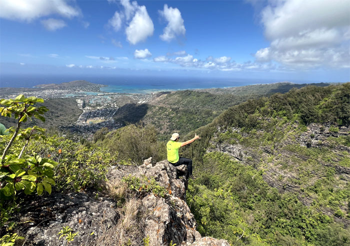
Akira soaking in the views.
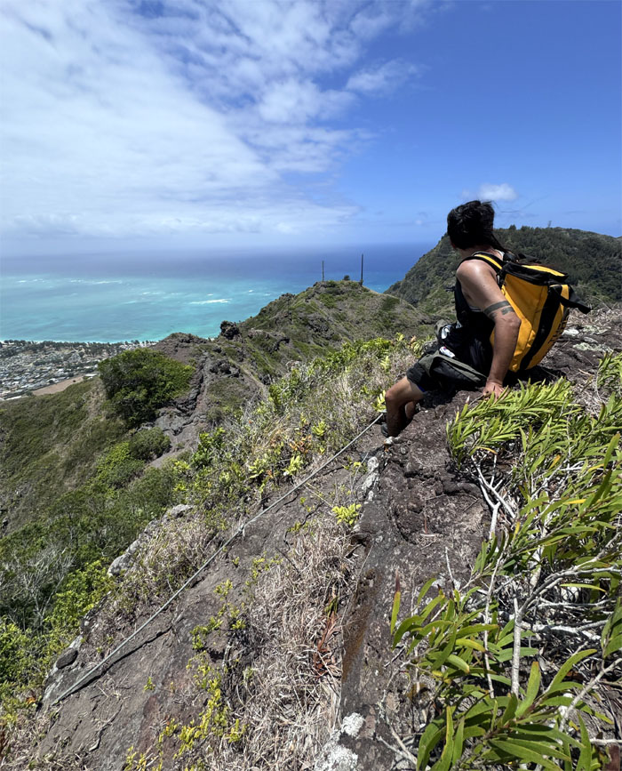
KSRT
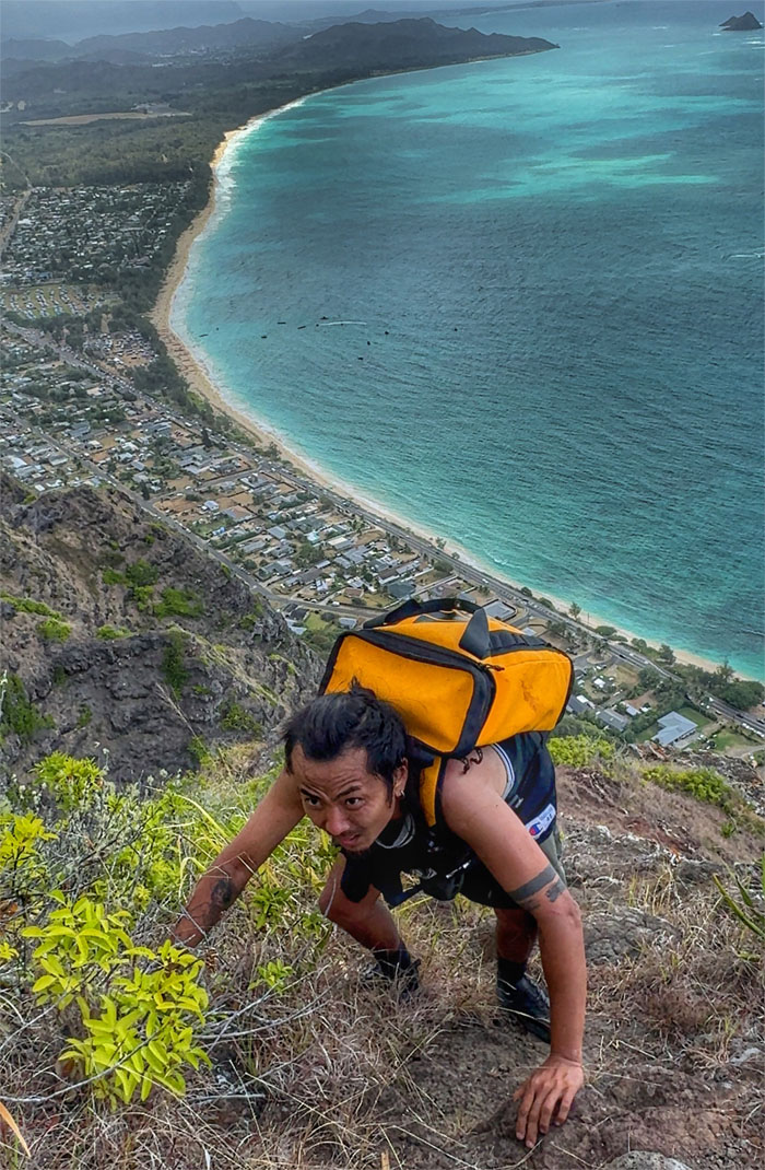
Climbing down the cliff with … a printer cable? The things you find on hiking trails.
KSRT
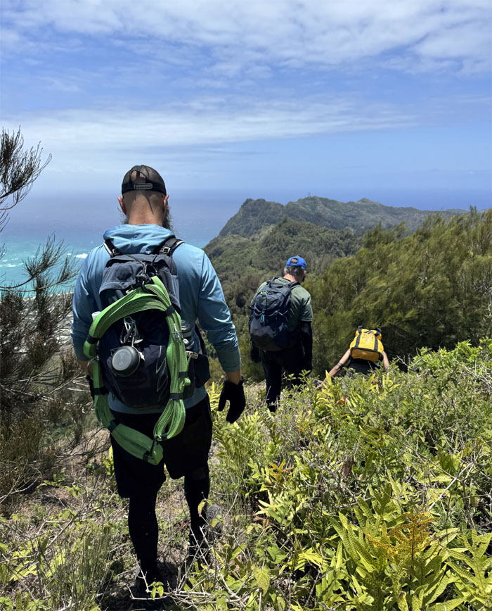
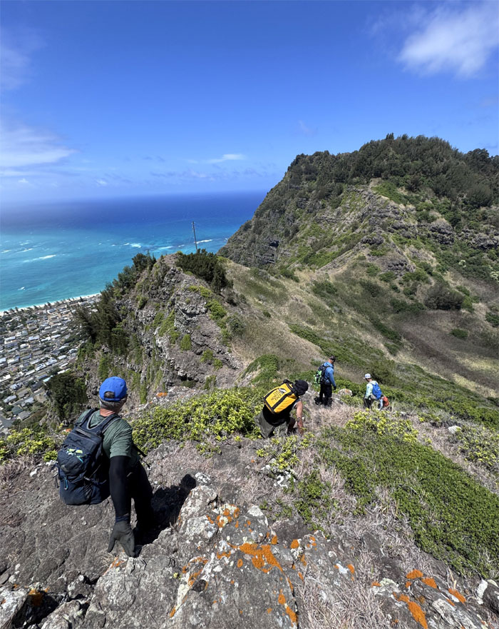
Leaving the canopied trail behind us as we struck out on the exposed ridge line.
KSRT
Alexis and Roger framed by the power lines as they made their way down.
Tom-Tom Summit
Seeking scant shade at the terminus that was named after Tom McGuire and Tom Cadle who rediscovered the old Hawaiian trail that started in Waimanalo and crested to the ridge line and beyond.
KSRT
Roaming through “open country.”
KSRT
Some took the climbing path, others took the contour trail. They both ended at the same destination.
KSRT
Taking a break after an exhausting fight against gravity on the pine needle covered trail.
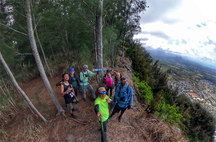
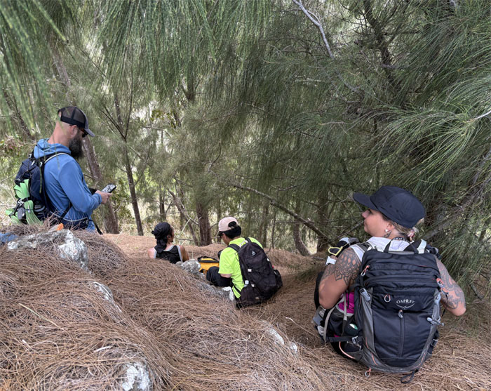
Kamiloiki Summit
Brief stop to take our group photo at the summit with expansive Windward views. No time to camp today.
KSRT
We could see the road at the end of the tunnel, so to speak.
KSRT
Descending down the rocky saddle bordered by thin and coarse vegetation.
KSRT
What goes down, must come up.
KSRT
The face of determination. Hats off to Kenny for slowly working on his fear of heights.
KSRT
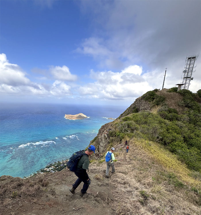
Making our way towards the active communications tower that was once neighbors to the infamous Dead Man’s Cat Walk.
KSRT
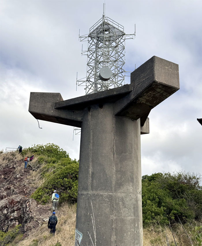
Working our way around one of the abandoned radar towers that used to control the Nike missile batteries down in Bellows Air Force Station from 1961-1970.
KSRT
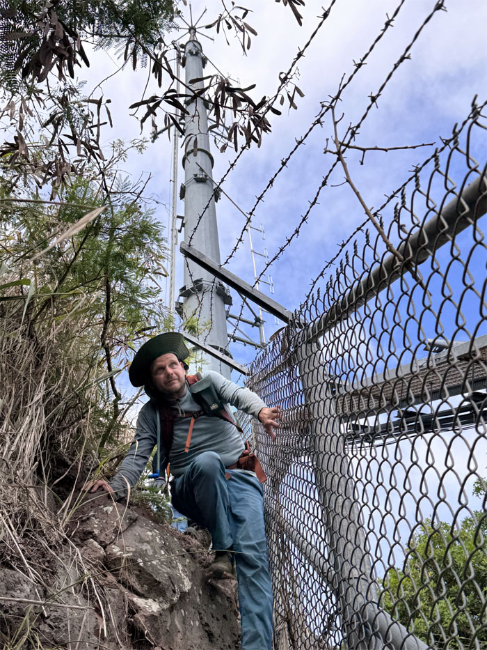
When you mistakenly go on the inside and bypass the canned recording, you get to climb over one of Charles Barnard’s invention.
All pau
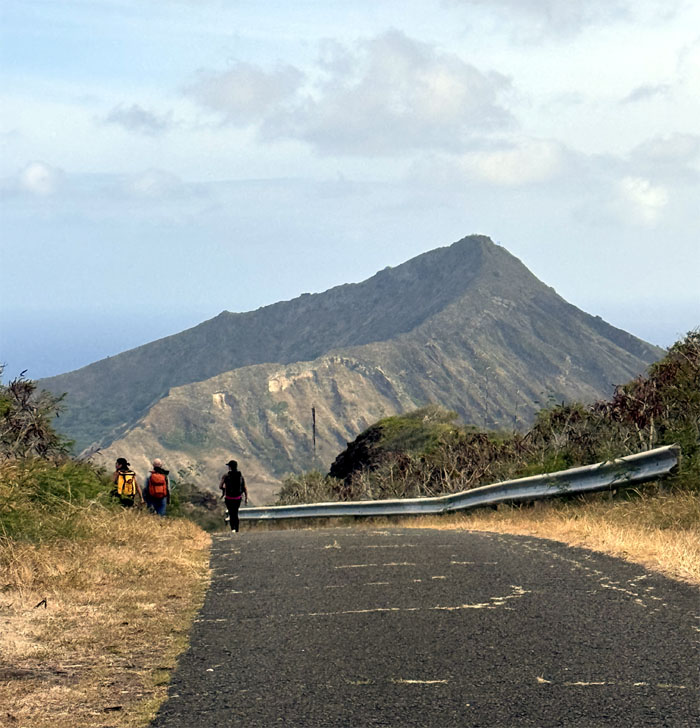
Enjoying the scenic walk down the road back to our cars.
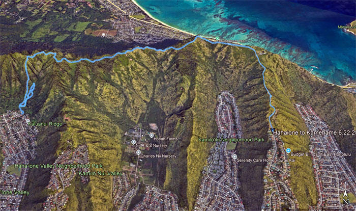
GPS Tracks
Our Plan B hike that also helped Scott fill in one of his holes on his journey to complete the KST covered 4.85 miles with windy weather and fun company. Post hike meal at Tex808 BBQ where we just missed the live music.
Photos taken by Akira Suzuki, Alexis Catarina, Jeremy Cannone, Kenny Lui, Scott Peterson, Roger Schiffman and yours truly. Not necessarily in order.
Note: I have been made aware that some hikers have been using my blog as a hiking guide and getting lost on the trails. Please note that this blog was made to document the hike for the crew(s) that did it. That is why some of my comments will seem to have no relevance or meaning to anybody outside of the crew(s) that hiked that trail. My blog was never meant as a hiking guide, so please do not treat it as such. If you find inspiration and entertainment from these hikes, that is more than enough. If you plan on replicating these hikes, do so in the knowledge that you should do your own research accordingly as trail conditions, access, legalities and so forth are constantly in flux. What was current today is most likely yesterdays news. Please be prepared to accept any risks and responsibilities on your own as you should know your own limitations, experience and abilities before you even set foot on a trail, as even the “simplest” or “easiest” of trails can present potential pitfalls for even the most “experienced” hikers. One should also always let somebody know of your hiking plans in case something doesn’t go as planned, better safe than sorry.
{ 0 comments… add one now }