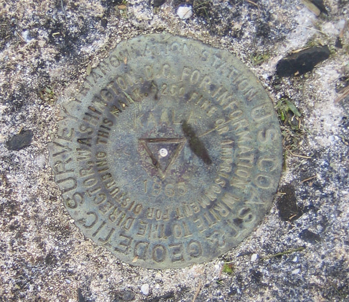
For the last hike of the year, we decided to climb Mount Ka’ala, the highest mountain on Oahu. Initially, we had signed up to go with the Sierra Club, but the coordinator called back and said they would not go past the boulder section due to it being “sketchy.” In other words, not going all the way to the top. So we decided to do it ourselves and drove all the way to the end of Waianae Valley Road and parked before the locked gate. We started walking up the slightly inclined paved road, passing a water tank and some buildings. The paved road soon gave way to a red dirt trail and got a little steeper. We passed a picnic table and a parked off road vehicle, somebody had the keys to the locked gate! It sure wasn’t us, that would have saved us a couple miles of walking.
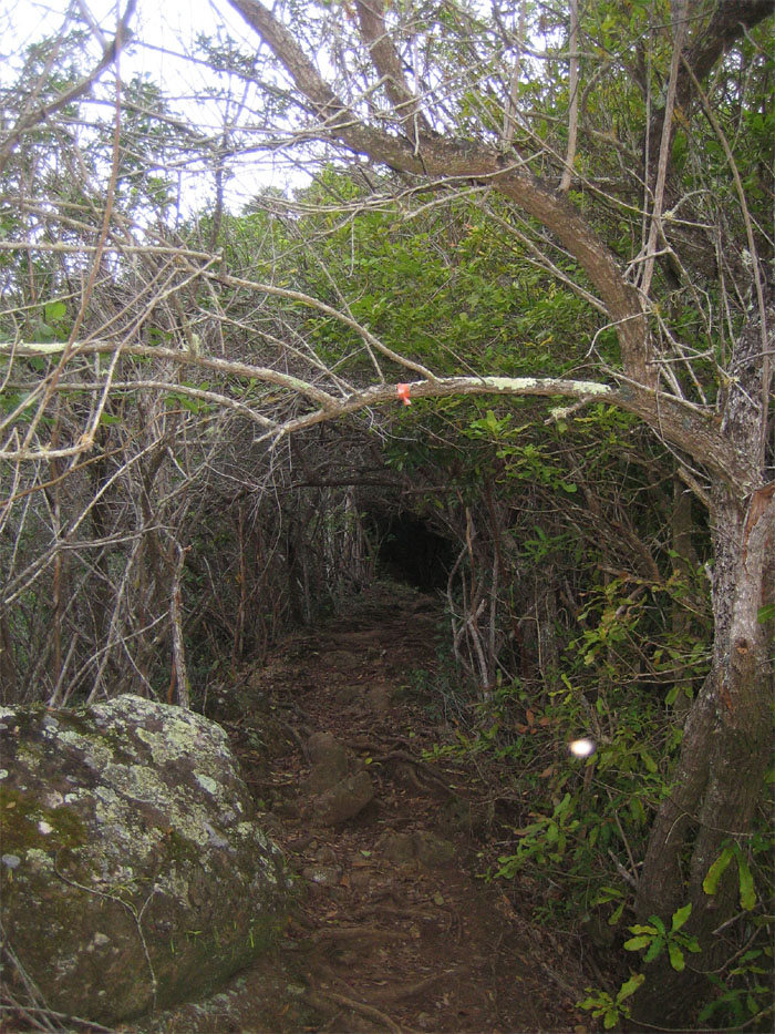
After going up the trail, we ran across this tree tunnel, where we made a left bearing off the ridge and crossed a stream and made another left to pick up the trail going up the summit. See that small orb of light to the right? It could have been a reflection from the flash, but from what? There was no metal or anything. In some circles, that would be a spirit of some soul that has long passed.
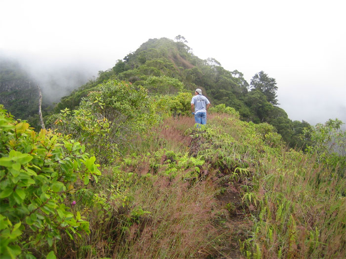
After working our way through uluhe ferns and koa trees, we popped up on the ridgeline marked by power poles, and turned a right towards the top of Ka’ala.
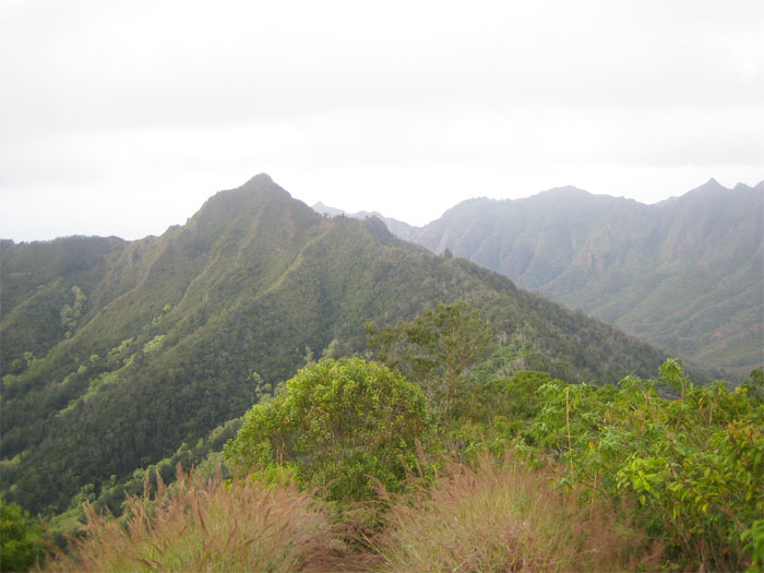
To the right we saw Pu’u Kalena, the second highest mountain, but we were shooting for the highest mountain. Pu’u Kalena would be for another day.
At times we seemed lost as the trail was very faint amidst heavy vegetation, but we just followed the ridgeline going to the top. Unless your legs are protected by extremely thick body hair that will protect you from numerous cuts and scratches inflicted by the vegetation as you slog you way up, I would recommend wearing long pants.
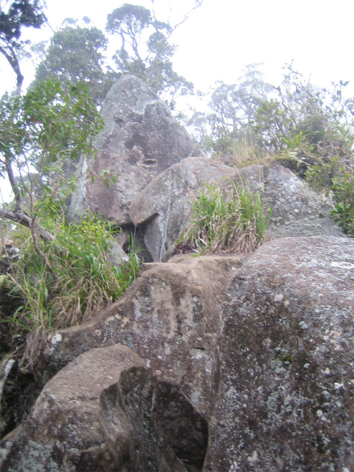
We came across this section of boulders, that we scrambled over with the ropes already there and carved footholds which helped. It’s not as bad as some make it out to be, just take it slow and watch what you are doing. Once we got over the boulders, there were a couple more steep sections that we had to climb with the assistance of more ropes.
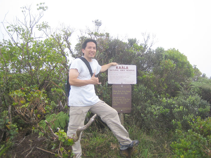
We finally made it to the Ka’ala Natural Area Reserve which is home to a blanket blog or mountaintop bog.
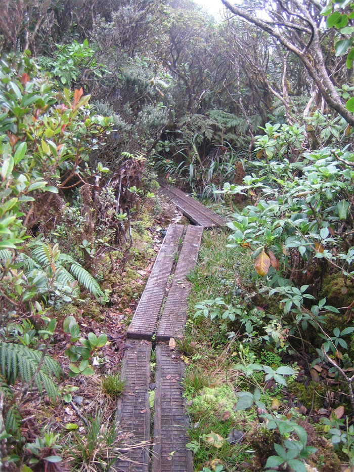
The planks wound their way through the bog for about 3/4 of a mile, giving us a self-guided tour. Being that Ka’ala is broad and flat,the rainwater collects to form this bog that is home to many native plants and snails. Much of the plants and trees are stunted, as most top off at 6-7 feet.
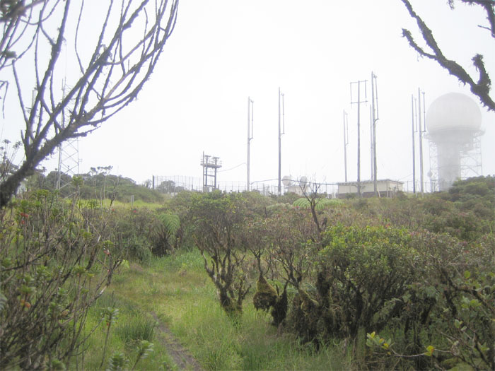
As we came out of the bog, the FAA tracking station came into view, partially obscured by rolling clouds. We bordered the fence to get a better view on the other side. I heard that other hikers had encountered armed guards that had ordered them to keep a distance from the fence. Luckily, we did not receive such a greeting.
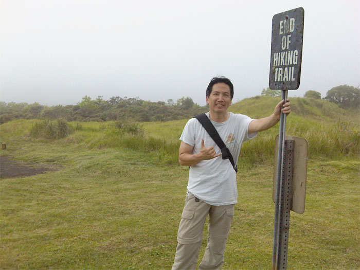
We made it to the top of Ka’ala at an elevation of 4,025 feet. It took us approximately three hours to reach the summit.
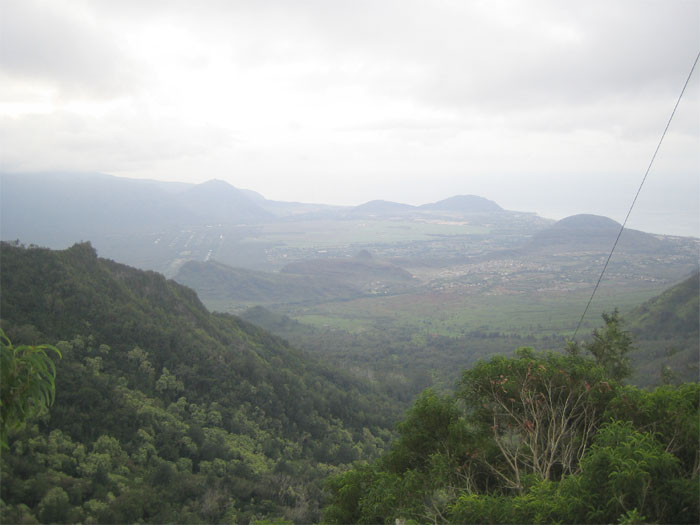
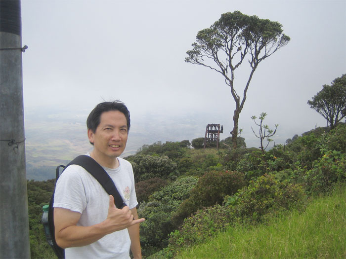
This is the view from the other side of the FAA tracking station that overlooks Haleiwa and the North Shore. Our views were somewhat blocked by clouds that would roll in and out. But they were fantastic! It took us about 3 1/2 hours to make it back down. Going down was definitely harder on the knees than going up. This hike is relatively difficult due to the steepness of the trail and the return trip coming back down.

{ 0 comments… add one now }