
We did two short hikes on the day that has its origins in pagan festivals that celebrated spring and fertility, hence the easter bunny and was later co-opted by Christianity to celebrate the resurrection of Jesus Christ.
Wa’ahila State Park
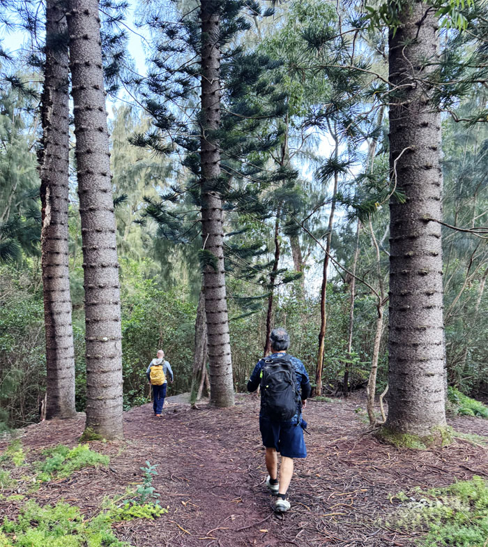
Met up with Edgar and Jeremy at the State Recreation Park where a quick morning shower dampened the grounds before our hike.
Kalaepohaku Lower Trail
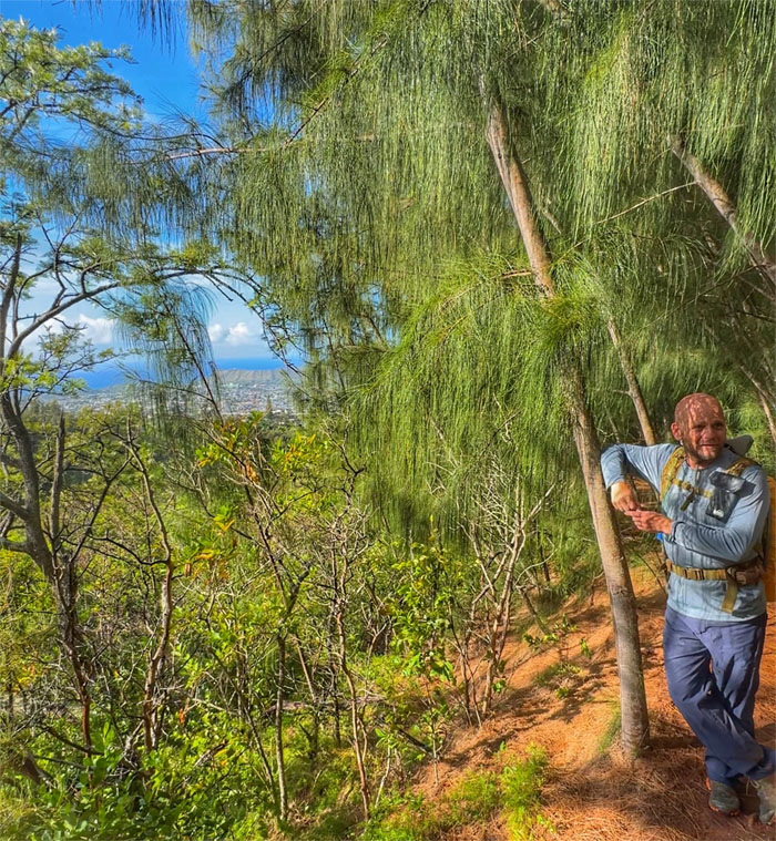
Catching a glimpse of Palolo Valley through the bushes and trees.
Kalaepohaku Lower Trail
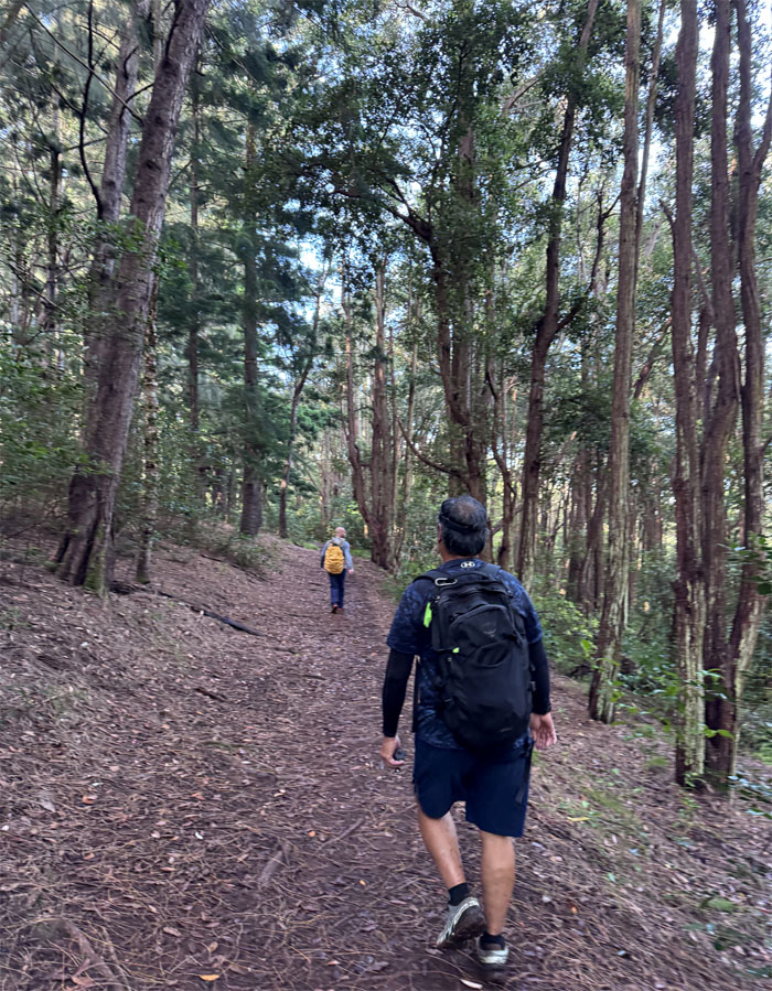
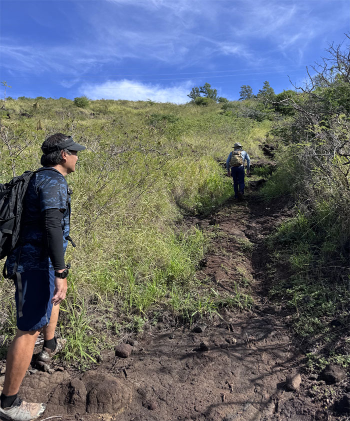
We had to backtrack as we had realized we had gone astray off the track, but in reality, we all found out later that they inter-connected.
Kalaepohaku Lower Trail
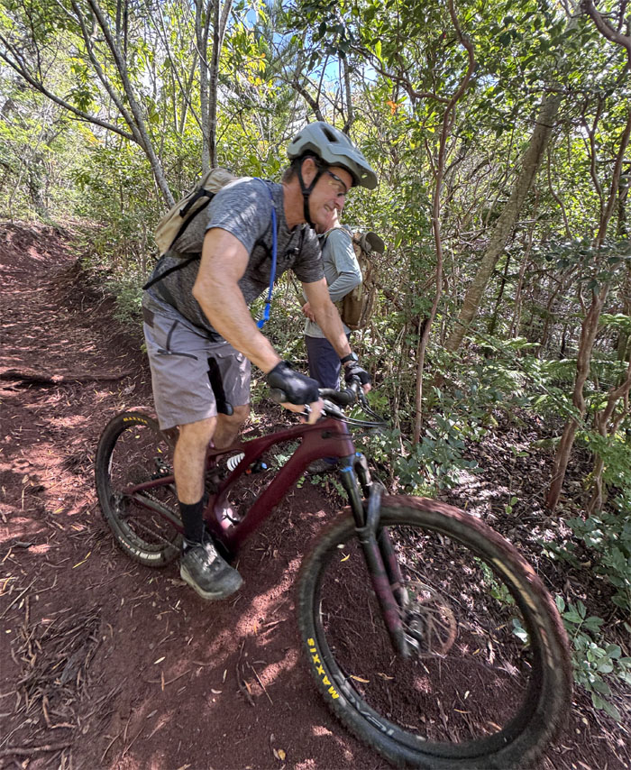
Bike trails criss-cross and share the trails it seems as the bike with one flat tire tried to go up the ramp.
Kalaepohaku Lower Trail
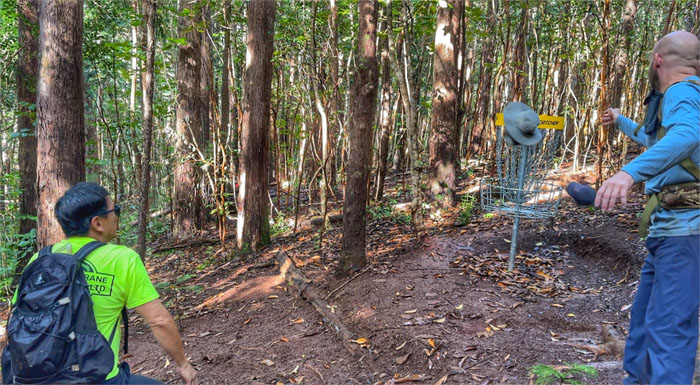
Playing frisbee golf on the trail, the sport that originated in the 1960s, don’t think I’m going to be a member of the PDGA anytime soon.
Kalaepohaku Lower Trail
The podagee bike trying to jump on the trail.
Kalaepohaku Lower Trail
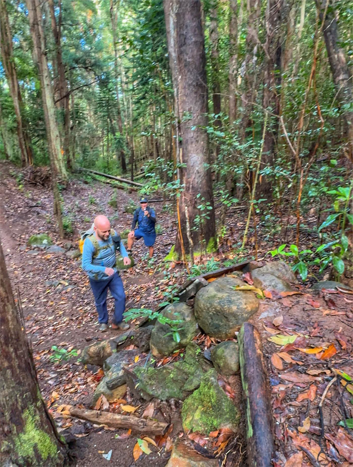
It finally dawned on somebody that they had already been on this trail. And here I thought this was virgin territory for the group.
Kalaepohaku Lower Trail
The end of the trail was anti-climatic as we had views of the fenced BWS water tank and distant and obscured views of the urbanized valley.
Kalaepohaku Lower Trail
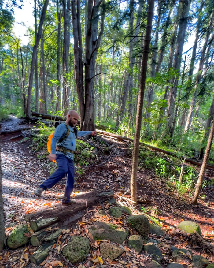
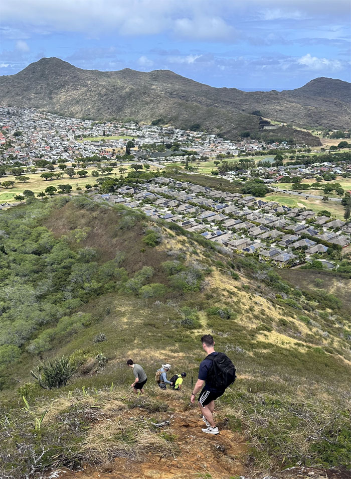
Jeremy suggested that we climb the ridge and loop it back to the park, so off we went.
Kalaepohaku Lower Trail
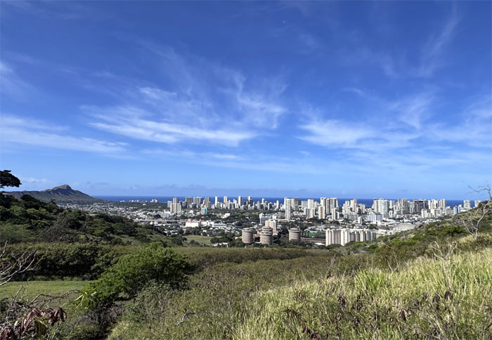
Looking out as civilization seemingly spilled from the back of the valley to the ocean. Progress.
Kalaepohaku Lower Trail
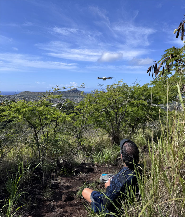
Edgar launched his drone to get a birds eye view of the surrounding area.
Kalaepohaku Lower Trail
Yielding to mountain bikers on the trail.
Kalaepohaku Lower Trail
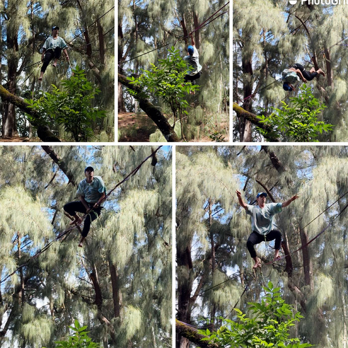
We stopped to watch a couple of slackliners as they practiced their balance and coordination above the trails. Just amazing.
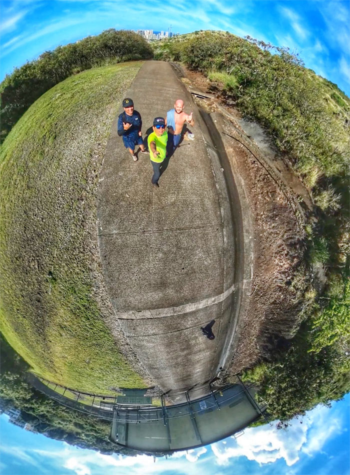
All pau
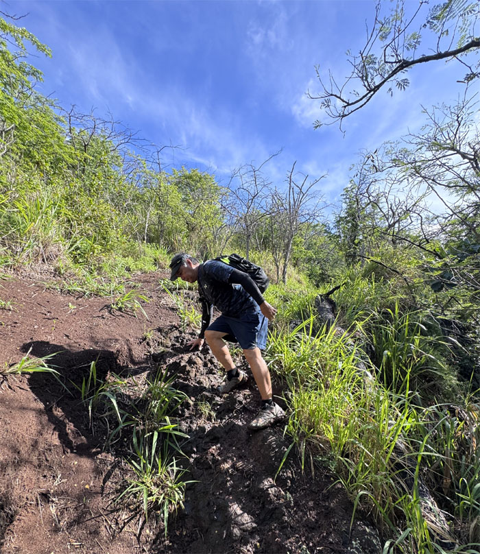
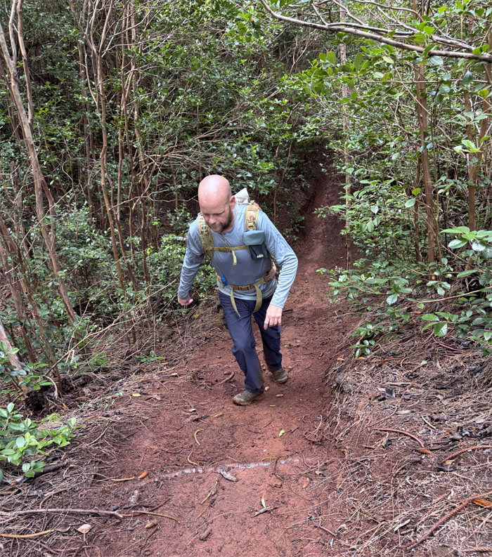
Climbing out of the trail where we soon parted ways with Edgar and drove to our next short hike.
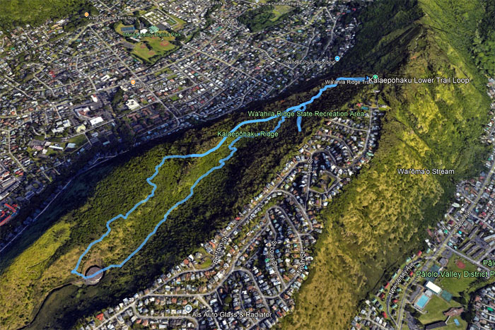
GPS Tracks
Our loop hike covered a tad more mileage that the regular trail that clocked in at 3.08 miles.
https://www.youtube.com/watch?v=MObGvjVZjBU
Video by Edgar Gamiao of our loop hike.
Koko Crater Rim Trail
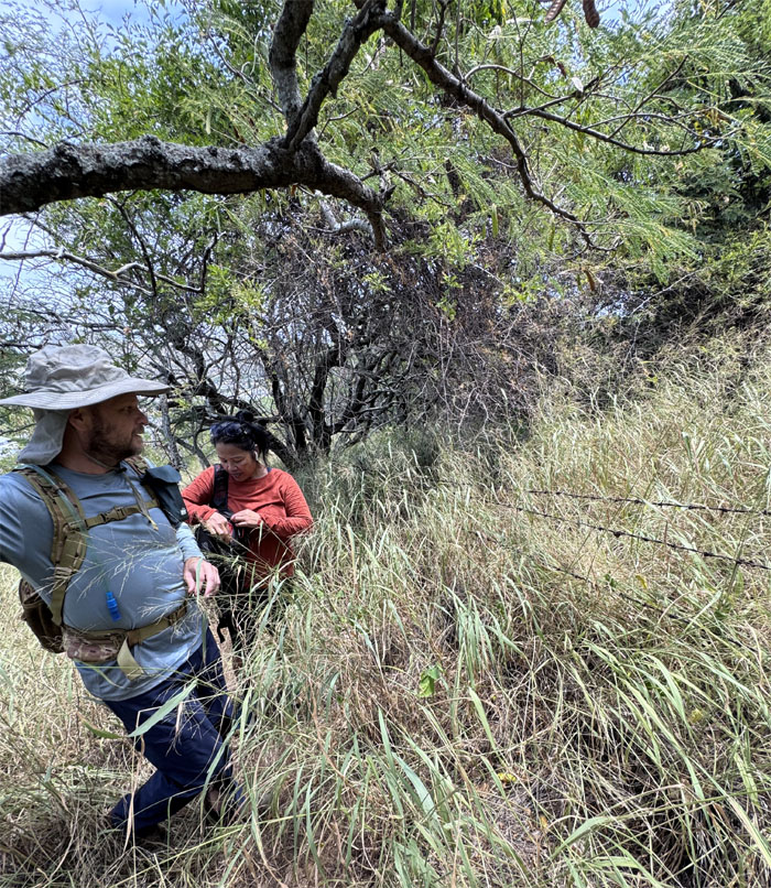
Tessa joined us on the second hike, as we skirted this barbed wire fence that was meant to keep out four legged ungulates or two legged bipedal primates?
Koko Crater Rim Trail
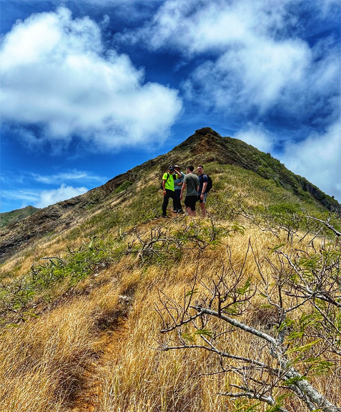
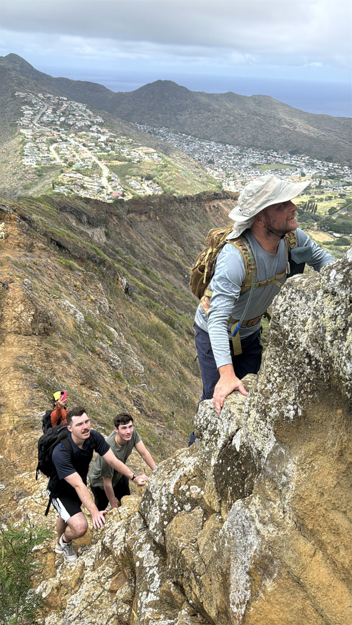
We soon ran into two Navy guys, Cavyn and Evan, who were stymied by a particular rock on the rim. We invited them to join us and they accepted.
Koko Crater Rim Trail
Jeremy drove all the way from the North Shore to do this hike for the first time. Are you sure?
Koko Crater Rim Trail
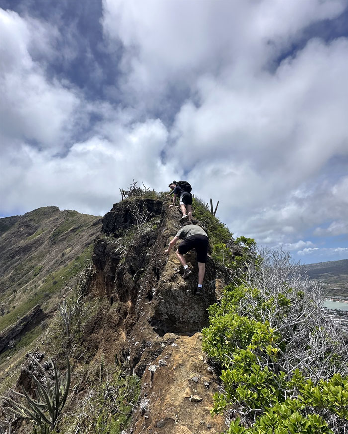
Cavyn going up the rock that had turned him around initially. Easy peasy.
Koko Crater Rim Trail
Everybody took the “medium” route.
Koko Crater Rim Trail
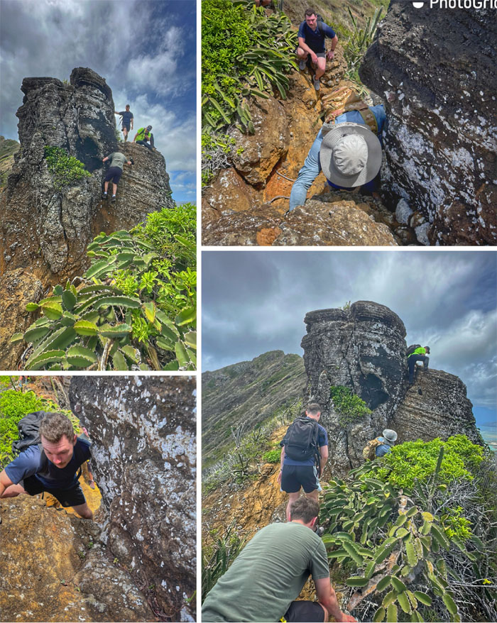
Detouring off the rim for a puka that most people just walk right over it.
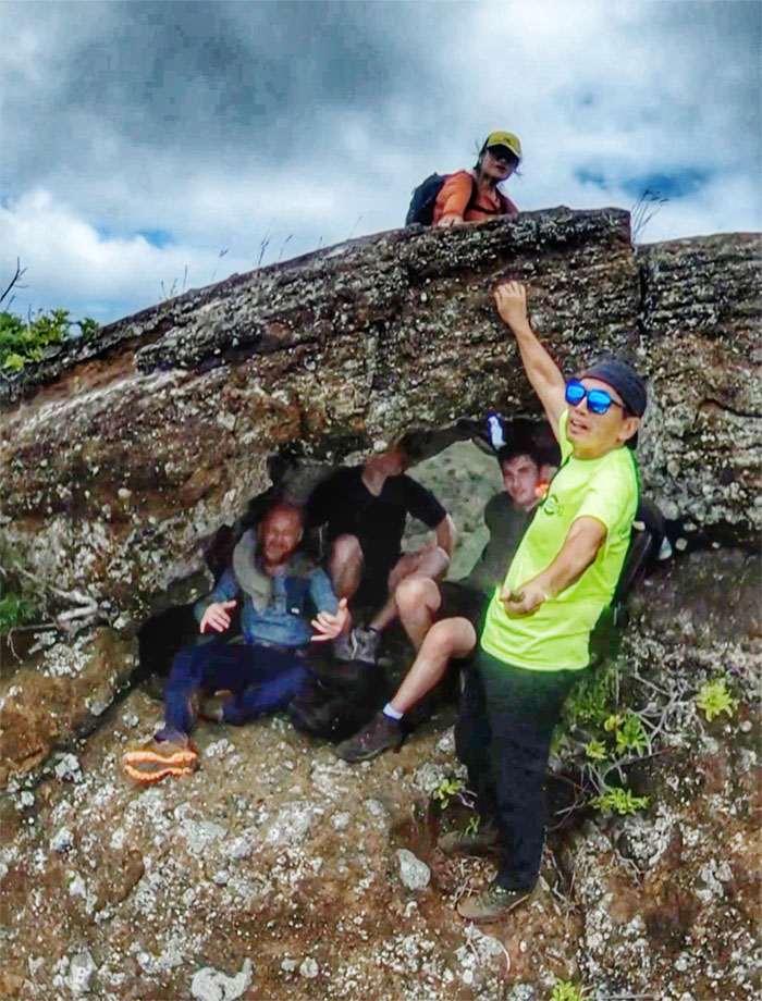
Koko Crater Puka
Tight squeeze.
Koko Crater Rim Trail
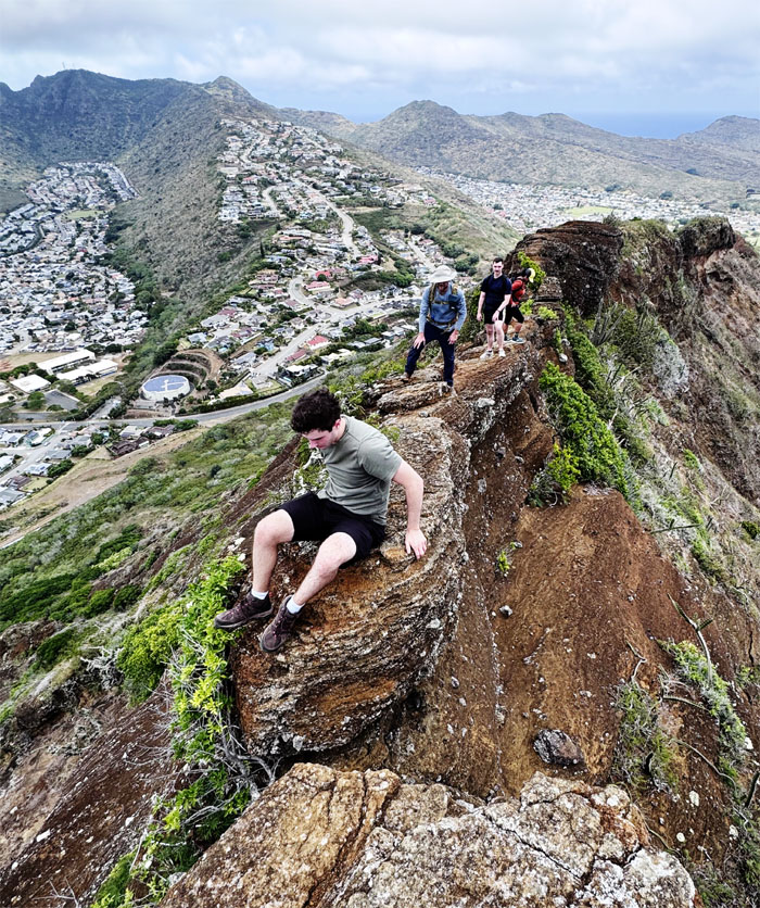
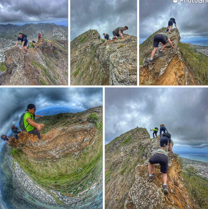
Scooting our way across the rim.
Koko Crater Rim Trail
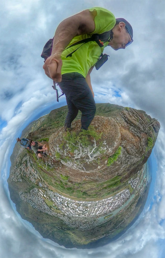
Leap of faith. It’s only a gap of two feet if that. GoPro makes it look more dramatic.
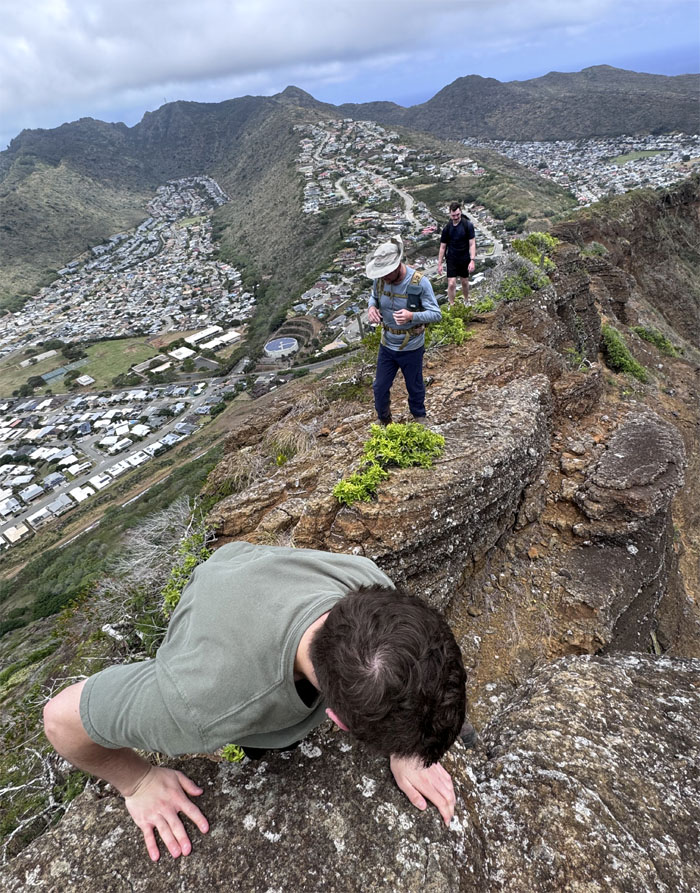
Koko Crater Rim Trail
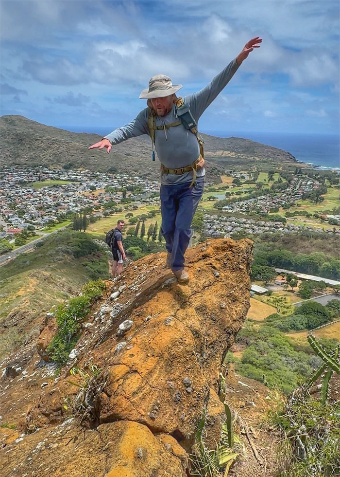
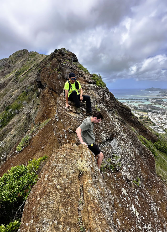
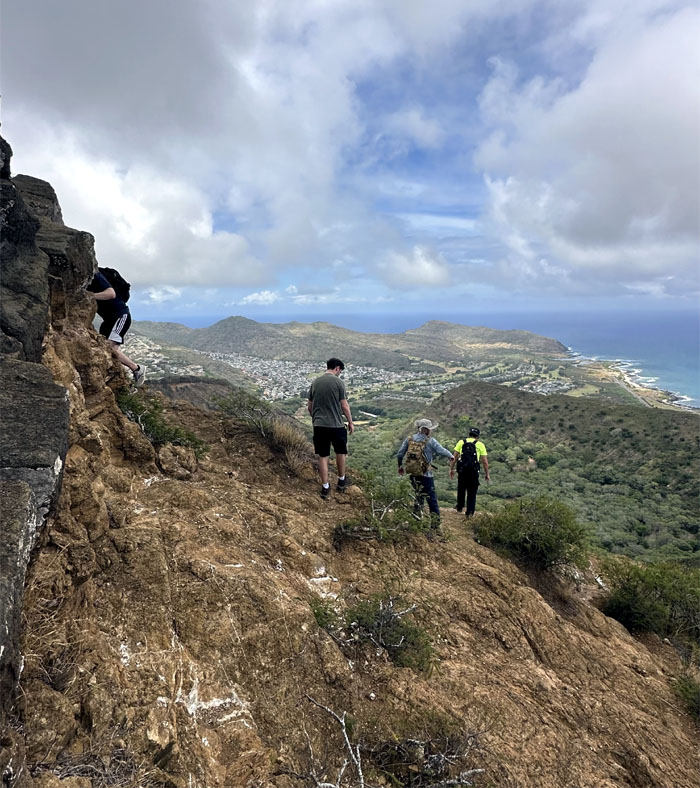
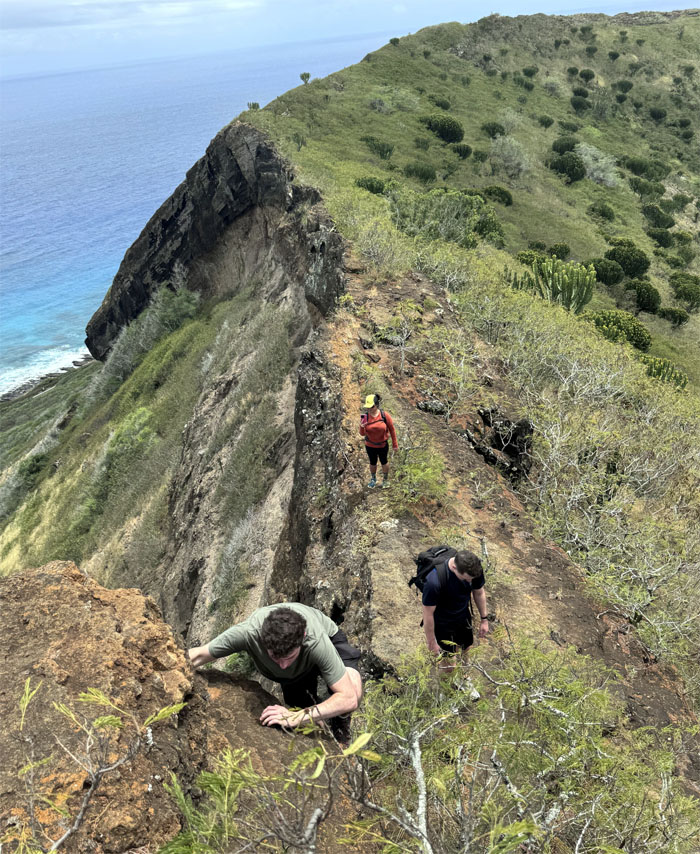
The mauka side of the rim is more “technical” than the makai side.
Koko Crater Rim Trail
We choose to traverse rather than contour this section.
Koko Crater Rim Trail
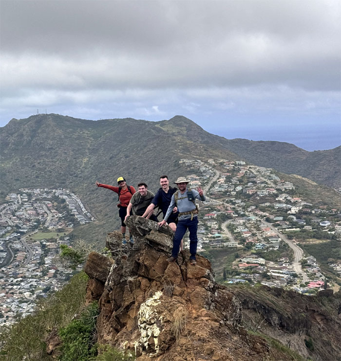
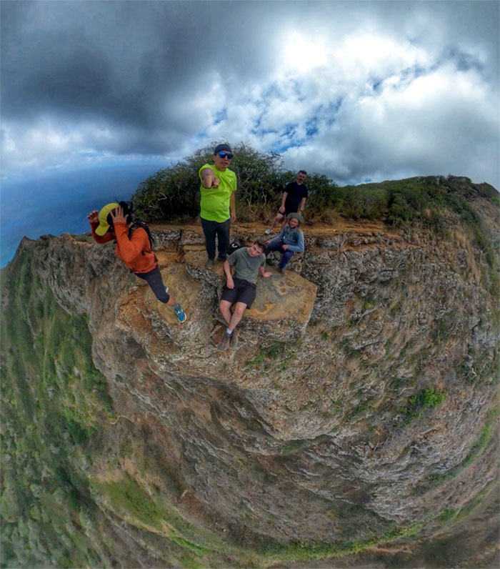
Group photo on the slanted slab.
Koko Crater Rim Trail
Climbing towards the summit that is populated with WW2 bunkers and teeming crowds.
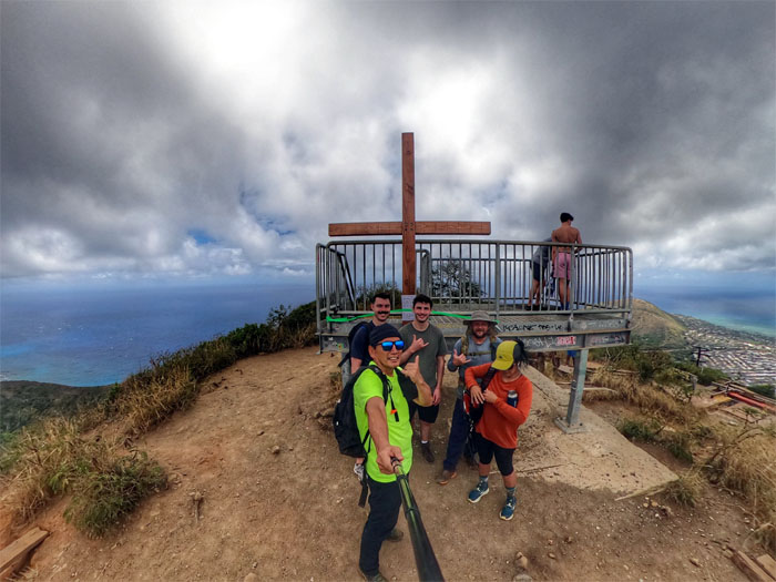
Koko Crater Summit
Group photo with the wooden cross that was temporarily attached to the new summit lookout that cost taxpayers $426,800.00 when it was installed back in July of 2023.
Koko Crater Summit
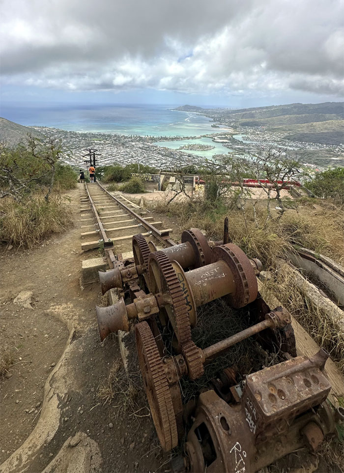
Looking down at the winch that used to pull rail cars to the 1,208′ summit during WW2.
Koko Crater Rim Trail
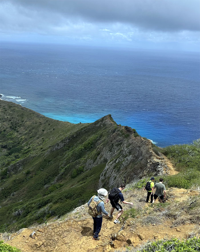
We continued our hike around the extinct tuff cone as the rim took us to the makai side.
Koko Crater Rim Trail
Some ventured farther out than others.
Koko Crater Rim Trail
Hiking on the trail that is often confused with the neighboring Koko Head. Tomato. Tomatoe.
Koko Crater Rim Trail
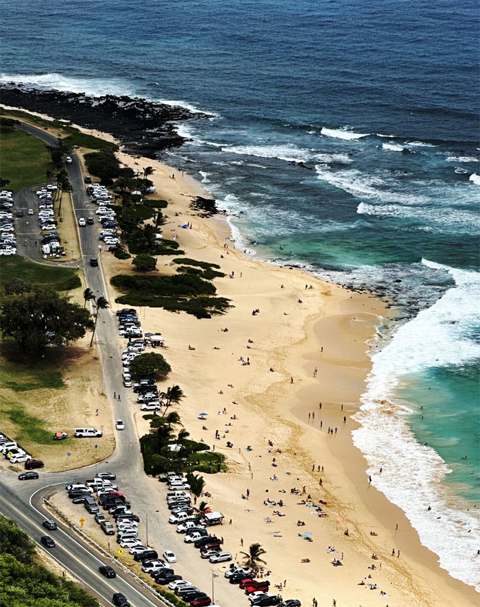
Looking out towards the beach that if Stanley Chang had his druthers, would have been called President Barack Obama Sandy Beach Park in 2014. Political pandering at its worst.
Koko Crater Rim Trail
Cavyn not letting any rocks stand in his way on this trail. Once was enough.
All pau
We scrambled our way down through the dry brush and back to our cars. Time to eat.
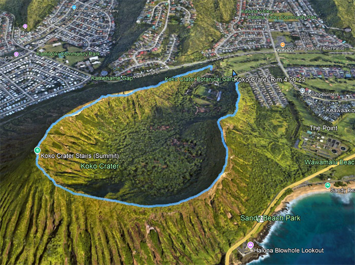
GPS Tracks
Our rim hike around the crater whose original Hawaiian name was Kohelepelepe which loosely translates to fringed vulva or flying vagina covered 2.16 miles. How did it gets it name? I won’t go into the mythology, but just look at the tracks and take a wild guess. Post hike meal at Zippy’s. It wasn’t Thai but close enough. Two short and fun hikes with good company.
Photos taken by Edgar Gamiao, Jeremy Cannone, and yours truly. Not necessarily in order.
Note: I have been made aware that some hikers have been using my blog as a hiking guide and getting lost on the trails. Please note that this blog was made to document the hike for the crew(s) that did it. That is why some of my comments will seem to have no relevance or meaning to anybody outside of the crew(s) that hiked that trail. My blog was never meant as a hiking guide, so please do not treat it as such. If you find inspiration and entertainment from these hikes, that is more than enough. If you plan on replicating these hikes, do so in the knowledge that you should do your own research accordingly as trail conditions, access, legalities and so forth are constantly in flux. What was current today is most likely yesterdays news. Please be prepared to accept any risks and responsibilities on your own as you should know your own limitations, experience and abilities before you even set foot on a trail, as even the “simplest” or “easiest” of trails can present potential pitfalls for even the most “experienced” hikers. One should also always let somebody know of your hiking plans in case something doesn’t go as planned, better safe than sorry.
{ 2 comments… read them below or add one }
I got tired due to heat lol
You’re like a magnet, you just attract newbie hikers all over the place. They wouldn’t continue without us I guess lol
Aloha Tessa,
No magnet, just repel. lol. Yep, glad we could help them out on the rim. Pay it forward.
Mahalo