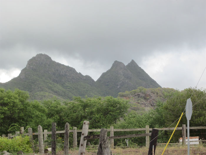
Olomana, in Hawaiian, means divided hill. Looking at the three peaks rising out of Maunawili Valley, you can see why it got that name. Called Oahu’s Matterhorn by Stuart Ball, there is a passing resemblance to the iconic mountain of the Alps. However, in true aloha fashion, you get three peaks for the price of one! We parked on the road before the Maunawili Bridge at the Luana Hills Country Club. Do not park after the bridge, as they will tow your car. We walked down the road for a quarter of a mile and found the sign pointing out the start of the Olomana trail.
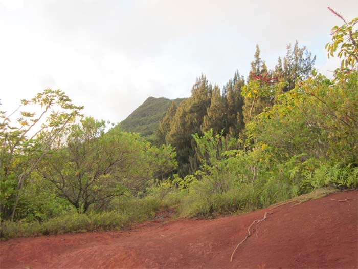
The beginning of the trail was marked with groves of bamboo, strawberry guava, Christmas berry plants and ironwood pine trees. There are also a couple of switchbacks going up the ridge.
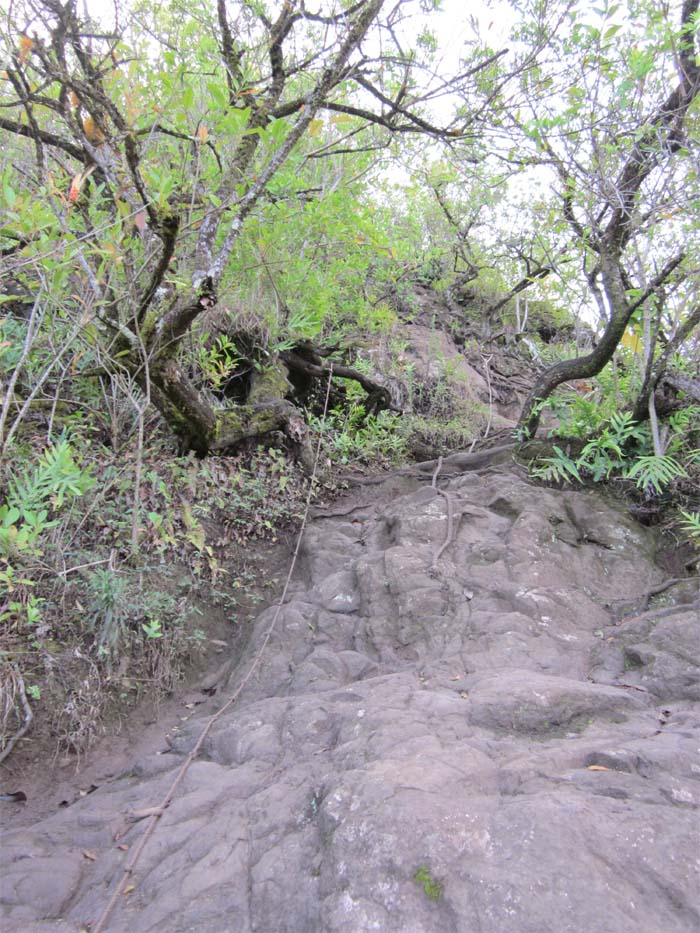
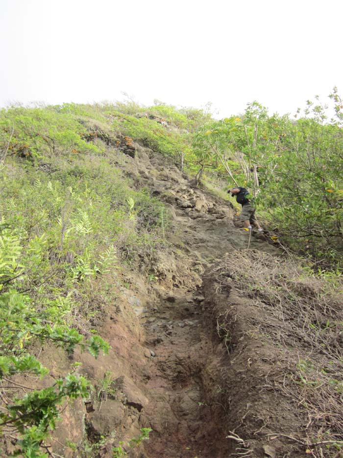
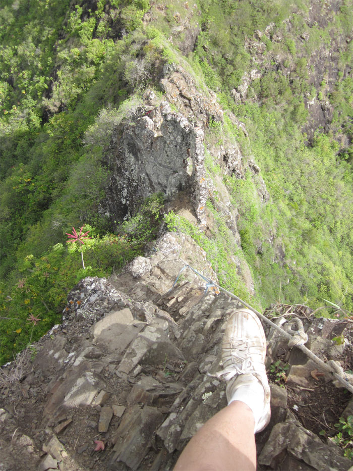
As we gradually made our way up the trail, we came across several areas that were quite steep and rocky. Fortunately, there are ropes that somebody left behind that helped us get up these steep areas.
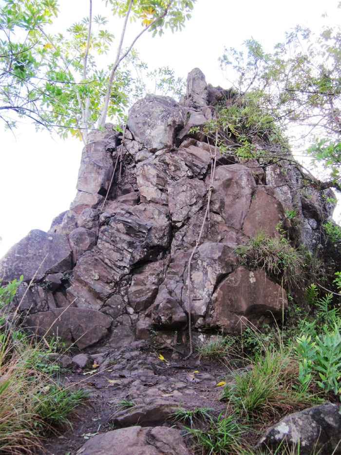
This 12 to 15 foot rockface was the last major obstacle we had to scale before reaching the top of the first peak known as Olomana. As with all ropes we came across the trail, we tested them and never fully relied on them, more as an assist to get us up.
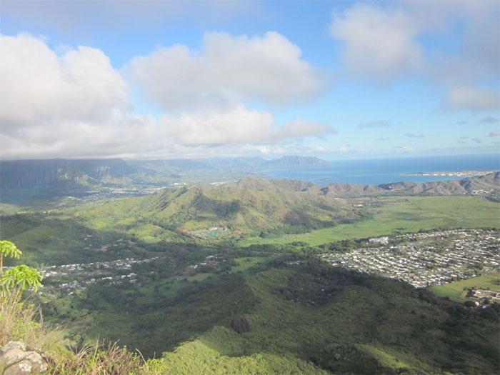
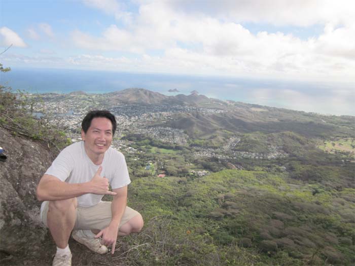
View from the first peak, known as Olomana, with an elevation of 1,643 feet. This is actually the highest of the three peaks and the one that affords the most scenic and 360 degree views of the Windward side, Maunawili Valley and the Koolau Range.
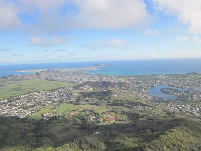
Here you can see Mokapu Peninsula, home to the Kaneohe Marine Base and parts of Kailua and Enchanted Lakes. Today was also the day that the Blue Angels were supposed to put on a show, if the timing was right, we would have had the best seats in the house. Too bad, we were too early. The awesome views more than made up for missing the Blue Angels.
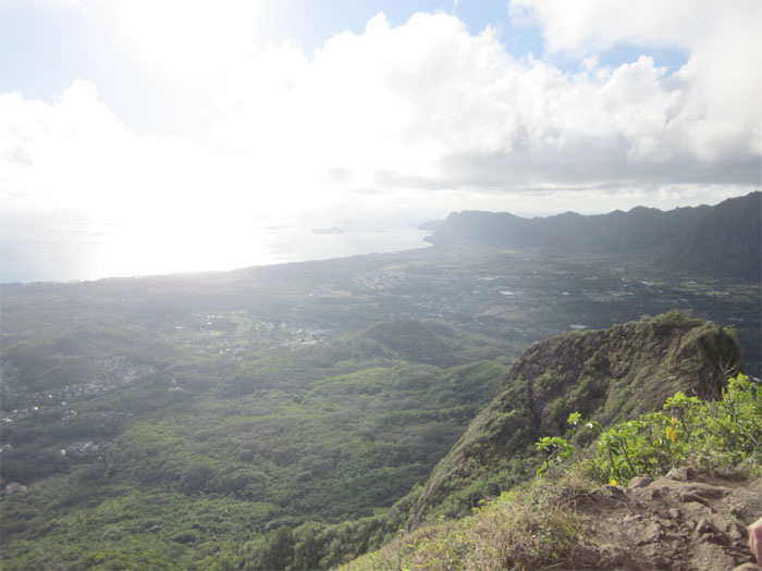
Here you can see the sun washing over the town of Waimanalo, Bellows Beach, Manana (Rabbit) and Kaohikaipu (Turtle) islands. Both islands are now designated seabird sanctuaries.
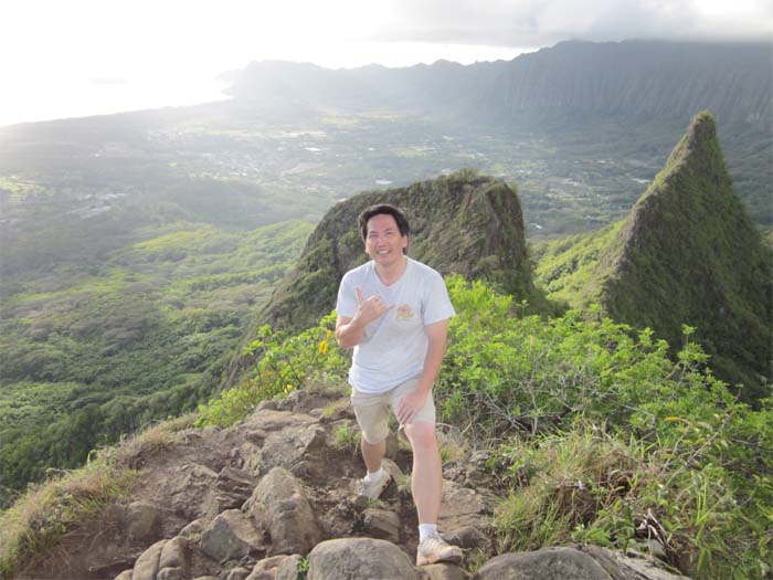
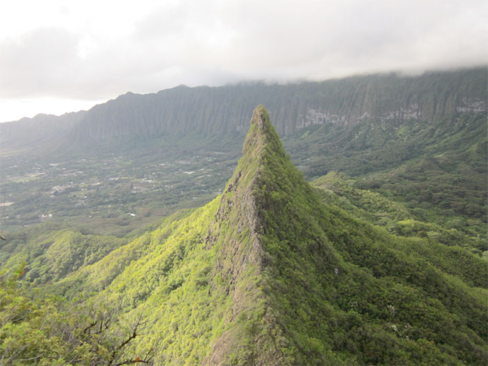
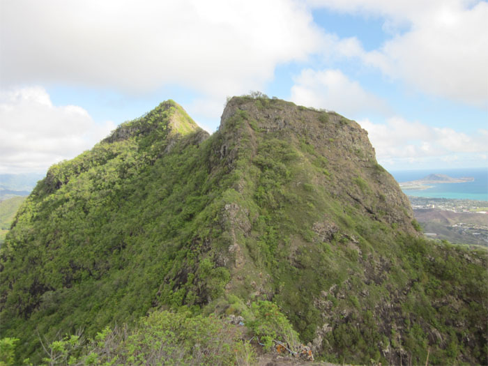
From the first peak of Olomana, you can see the second peak, known as Paku’i, and the third peak, known as Ahiki in the background. A lot of hikers call it quits after making the first peak and return back. Not us, since we made it this far, we decided we might as well go all the way! No guts, no glory!
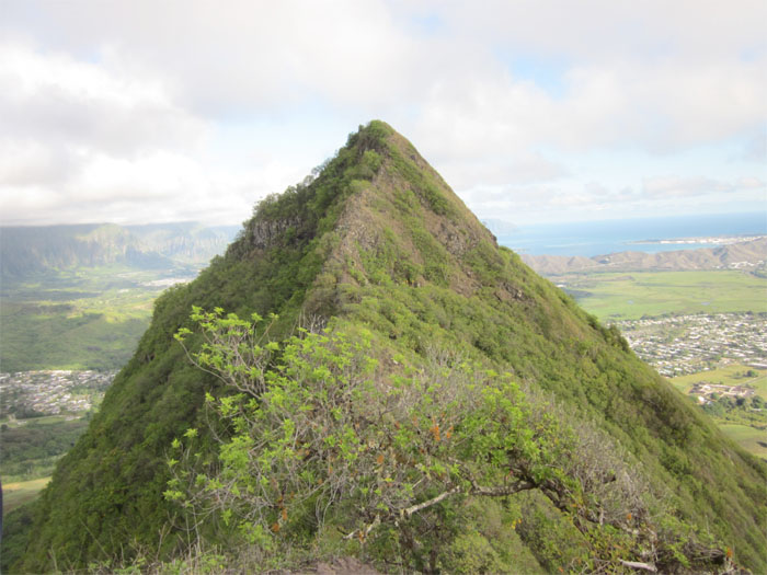
Descending from the first peak to the saddle was somewhat steep but manageable. The climb to the second peak was over before we knew it, here we are looking at Olomana from the second peak.
Only one more peak to go! The ridge looks razor sharp from this vantage point, but that’s because we are far away!
Coming down from the second peak to the saddle, we had to rappel down almost 300 feet.
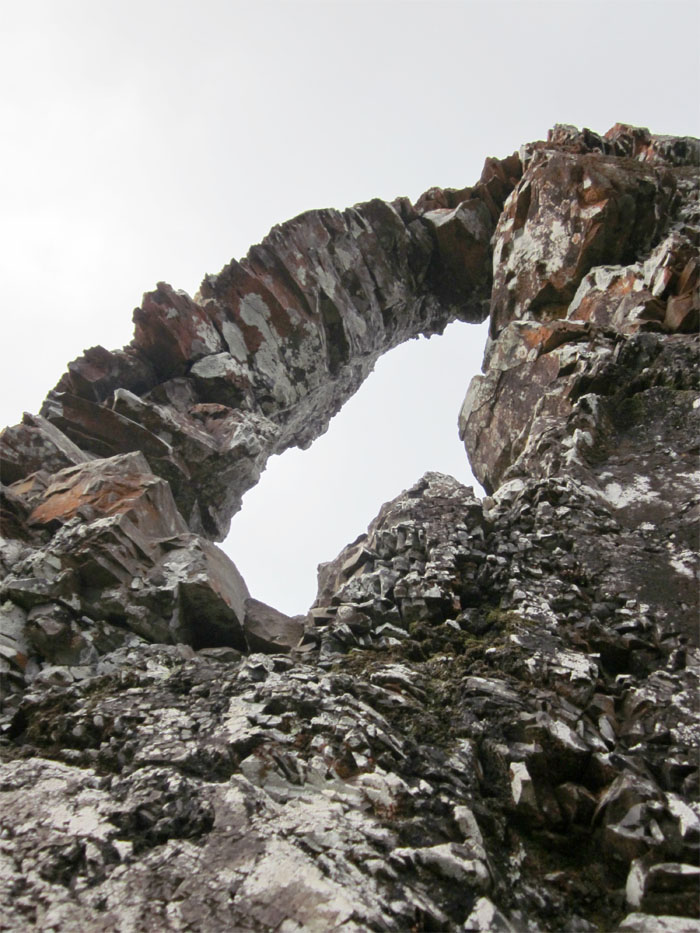
This striking rock formation on the way to the third peak, is called the keyhole for obvious reasons. I read that around this area, a couple of hikers lost their footing and bounced down the mountain, but managed to scramble their way back up. Needless to say, we were extra careful around this area, as I didn’t want to be like a bad check.
Leaving the keyhole behind and climbing up the ridge with some noticeable dropoffs on both sides. If you are afraid of heights, this hike is not for you.
Looking back towards the first two peaks. We were almost to the third and final peak! I heard that there is suppose to be a big bee hive between the second and third peaks. The only bee we came across, was one that decided to make itself at home in my glove. So for a short distance, I was buzzing until I realized it wasn’t alcohol!
The views from the summit of the third peak are almost anti-climatic, as compared to the first peak. But the feeling of making it to the third peak was awesome. The hike is difficult as there are extreme steep areas that must be carefully climbed and hiked. It took us roughly two hours to get to the third peak and about two and a half hours to make it back to our cars. I read that some hikers have made the scary descent from the third peak going down into Waimanalo. That’s for another day.

{ 0 comments… add one now }