
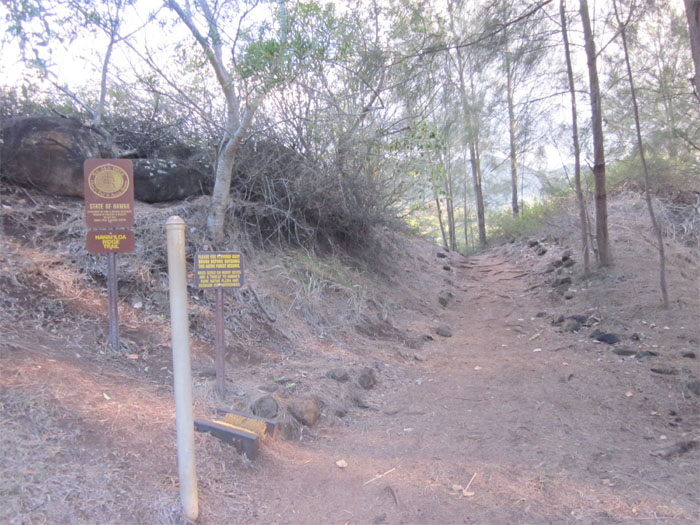
Hawaii Loa Ridge is a sleeper of a hike, located in the uber-rich gated community of Hawaii Loa in Hawaii Kai. Much like public beaches, gated communities have to offer public access to public hikes. The guard will let you in after 7am, where you must present local or military ID and sign a liability waiver. I also found out that not more than 10 cars are allowed in at one time. After checking in, I drove up to Paka Nahele park at the end of Puuikena Drive and started my hike.

Heading into the forest
The first part of the trail was hot, sandy and rocky. Heading into this stand of ironwood pine trees, the wind was making this weird whistling sound that would go over great on moonless nights and a couple too many drinks.

One of many hills
The trail follows a couple hills as they go up and down, leading to a rollercoaster effect, all depends on how fast you are hiking! Keep your hands in the car at all times.

Guava trees
As I started walking into this strawberry guava tree “tunnel”, the wind picked up and started that eerie sound that I thought I left behind in the ironwood pine tree stands. Glad I wasn’t doing this hike at night!

View of Diamond Head
Approaching the summit, the trail started to get steeper with dirt steps reinforced with plastic slats, punctuated by a couple spots with ropes to help you get to the top.

View of Olomana
It took me roughly 90 minutes to make it to the summit at an elevation of 2,520 feet. The easy part of this hike is that you are not starting from sea level, I believe the elevation at the trailhead is roughly 500 feet.

Town of Waimanalo
The town of Waimanalo, along with the Mokulua Islands off shore. I was very lucky today as when I was approaching the summit, it looked like the clouds were rolling in. But when I reached the summit, clear blue skies and fantastic views welcomed me.

Pu’u o Kona
The summit of Pu’u o Kona which can be reached through the Kuli’ou’ou Trail, which is the ridge next over. There used to be a sign that announced the end of the trail, apparently somebody took it home for a souveneir.

Koko Crater and Koko Head
Going back down the trail which took about 90 minutes, you can see Koko Crater and Koko Head to your left.

Ridgelines
So many ridges to hike on! The middle one is the Hawaii Loa Ridge trail and the way back to the trailhead. This hike is relatively easy, as there are only some spots where you go up and down, and finished with a brisk walk up hill to the summit. Also, don’t let the gated part put you off from doing this enjoyable hike, think of it as your own semi-private trail!

GPS Tracks
The 4.3 mile hike rewards one with uber-views with little effort.
{ 0 comments… add one now }