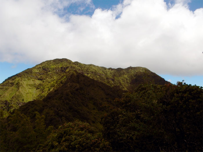
Today’s hike was to tidy up some unfinished business with Ka’ala Road.
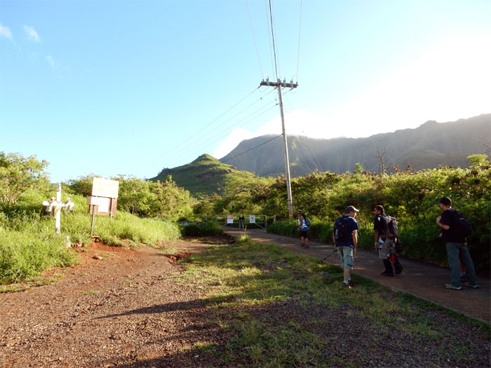
At the crack of dawn, I met up with Chris, James, John, Jose, Marvin and Thessa at the end of Waianae Valley Road.
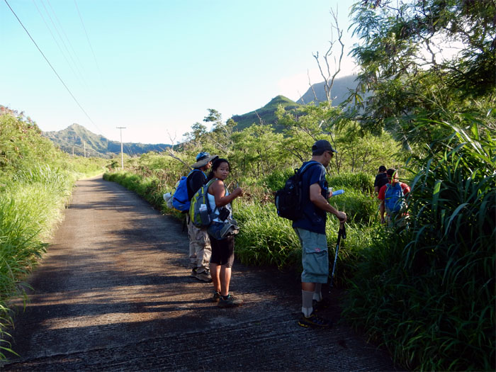
We spent scant minutes on the much hated road and then turned right into the bushes. No complaints here.
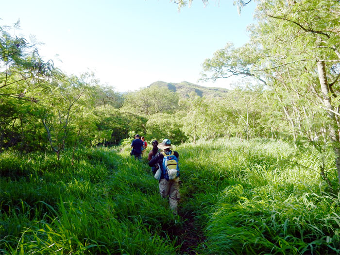
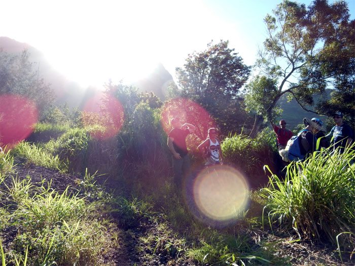
The grass was only about waist high in the beginning of the trail. It would get much higher as we went deeper into the valley.
The junction for the Star Trek trail. Another time to boldly go where many have trodden.
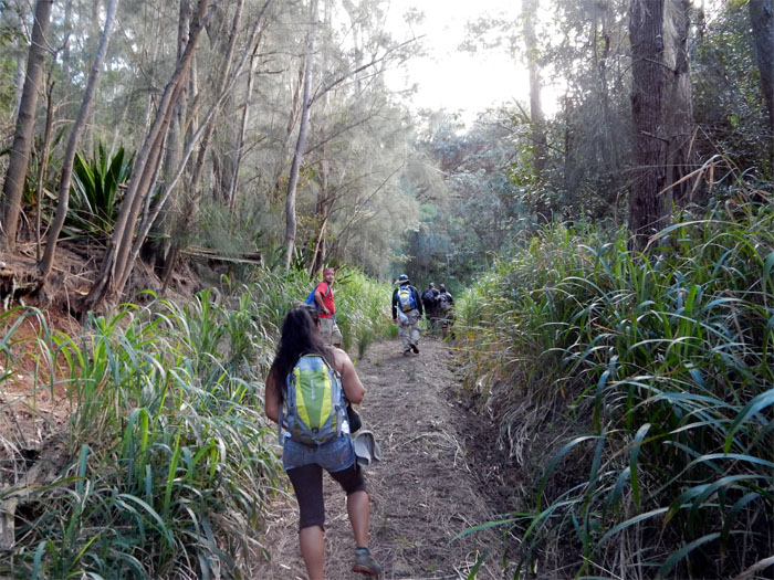
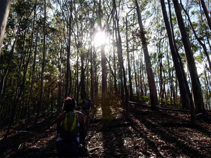
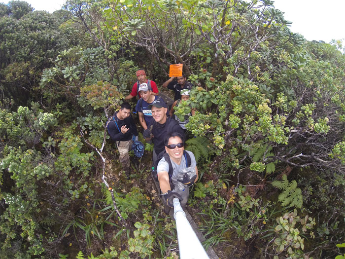
The trail opened up at times, giving us a break from all the overgrowth.
Shoulder high California grass soon swallowed the trail. We spotted the faded pink ribbon that marked the ridge to our right. Up we went.
Other hikers had warned of a nest of yellow jackets at the beginning of the ridge. No buzzing heard or stings inflicted.
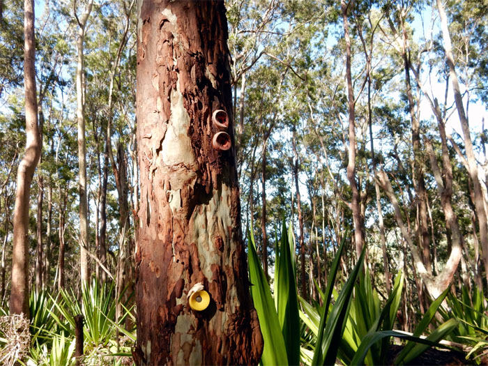
Learning the color coded bottle caps helps a lot when hiking in Waianae.
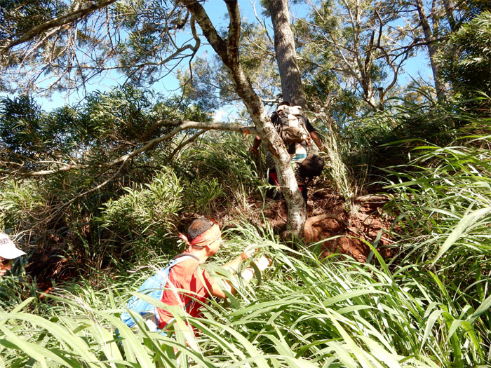
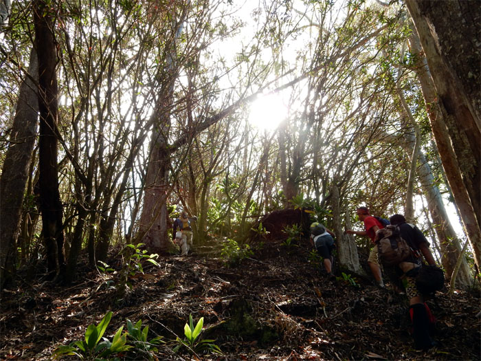
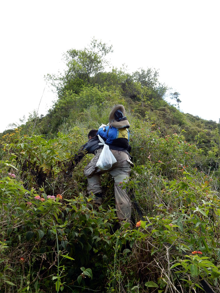
No switchbacks here. Just an honest climb straight up the ridge.
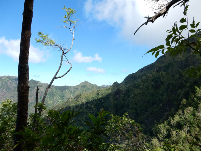
We had gained quite a bit in elevation.
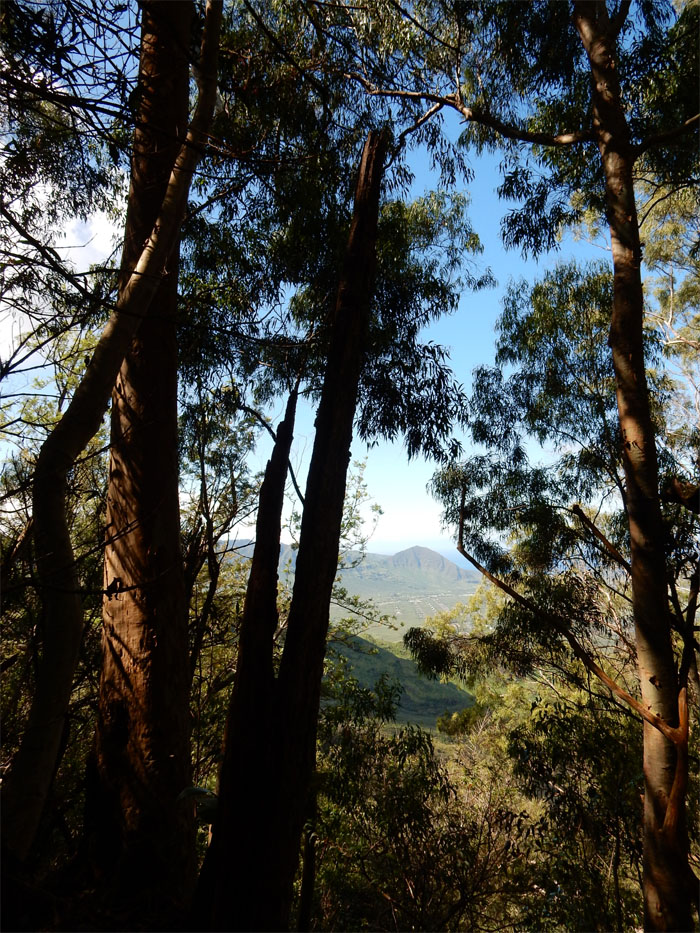
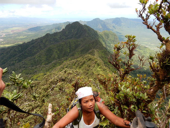
Looking at Bolohead Ridge to our left.
Chris climbing to the top of the ridge with his Spanish bread about to spill out of the plastic bag.
Back on the Waianae Summit Trail, where we turned left towards Ka’ala.
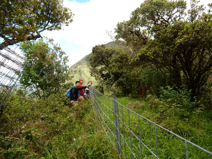
We jumped over the fence to avoid the prickly thorns that seemed to dominate the Waianae side of the fence line. Some got it worse than others. John’s legs can attest to that. His days as a leg model are over.
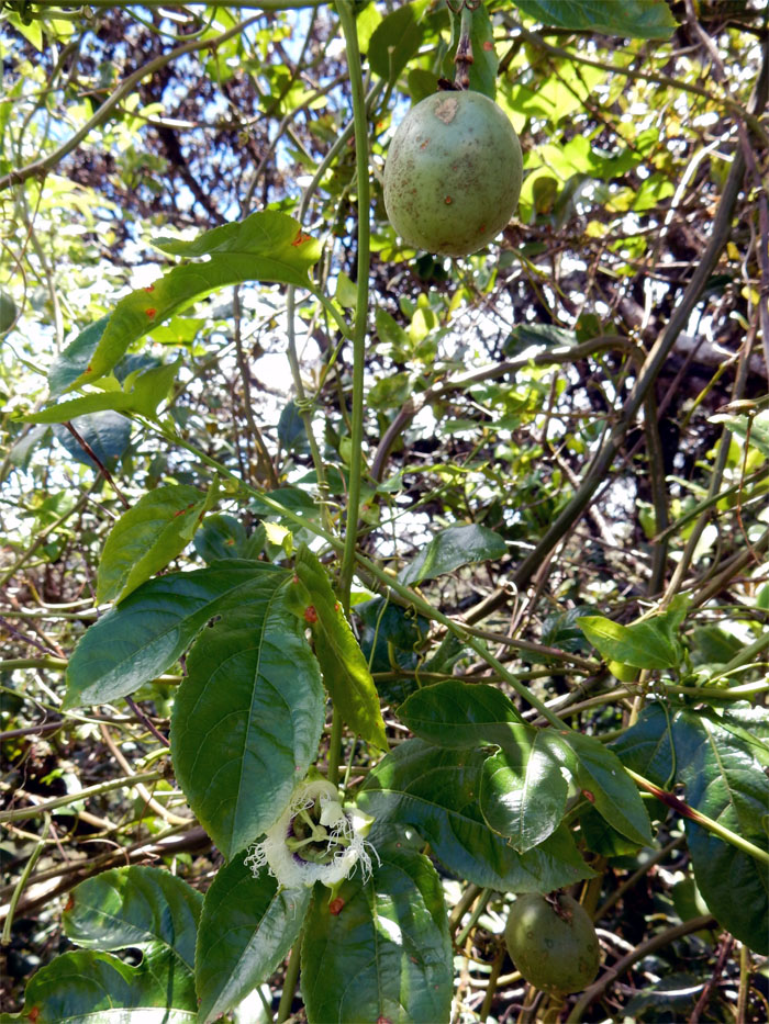
No trail snacks for us today.
No prickly thorns on this section.
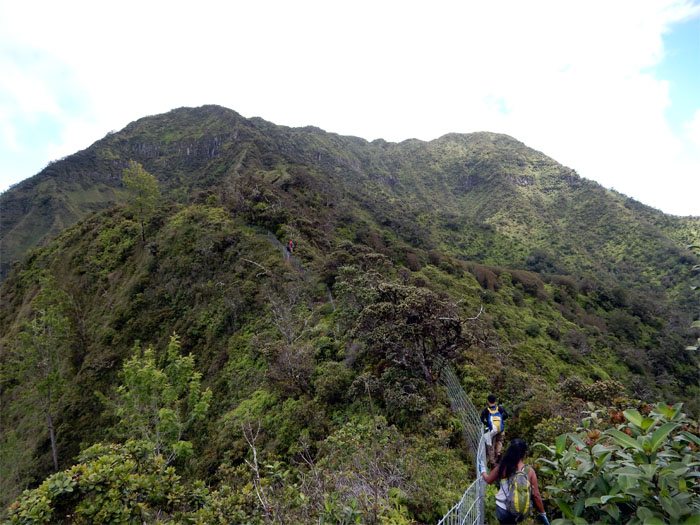
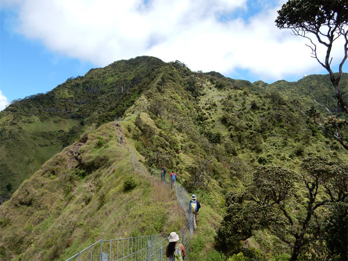
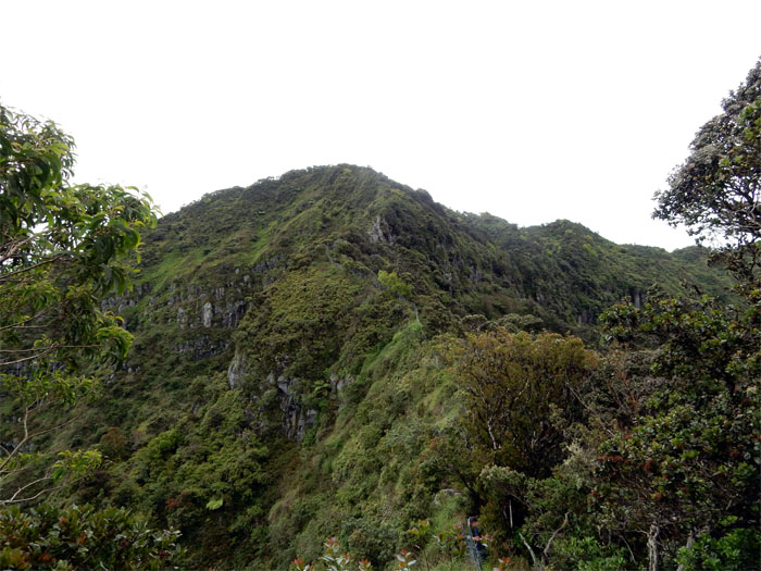
Looking ahead, we could see the fence coming to an end before a huge rock face.
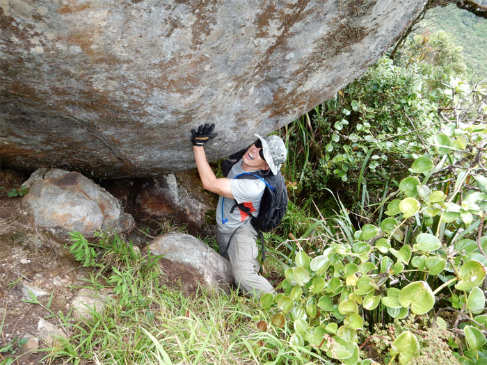
Playing around with a huge boulder. One day, this boulder is going to roll down the mountain. Don’t want to be around when that happens. Or nobody else for that matter. Photo by John Garrity.
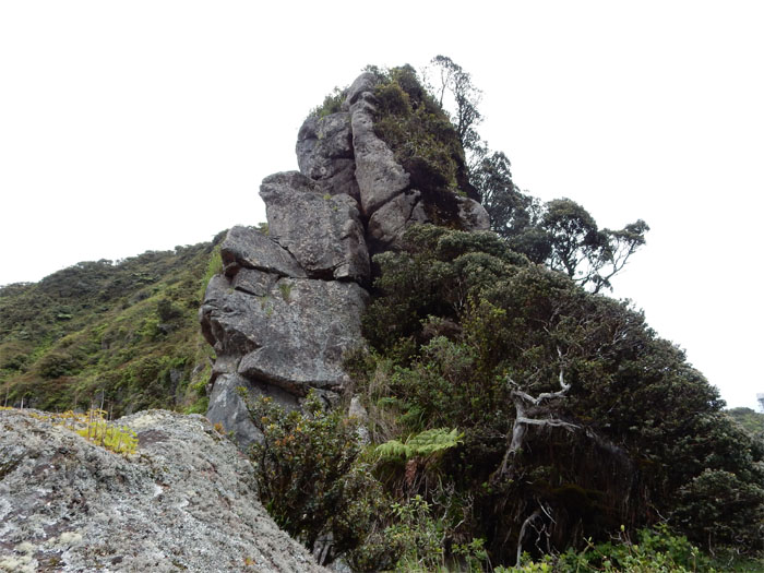
I thought we were going to have fun climbing over these pile of rocks. Dry rocks.
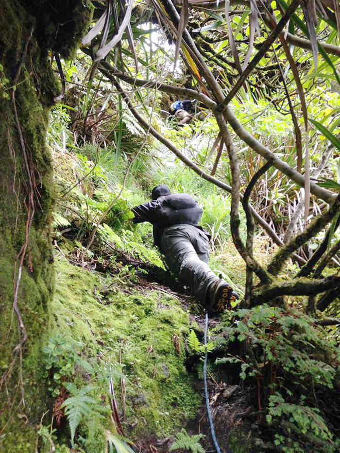
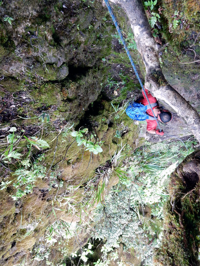
Instead we contoured to the right and found mossy covered rocks and a steady trickle of water coming down. As we were helping each other cross over a gap, we heard a yell and found out that John had slid down about 20′. Luckily he was holding onto the ropes when he lost his footing. Just a bruised butt and ego. Photo by John Garrity.
Going up this slippery section took a lot of energy and effort on our part. If it were under dry conditions, it would have been a piece of cake.
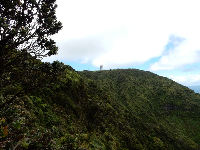
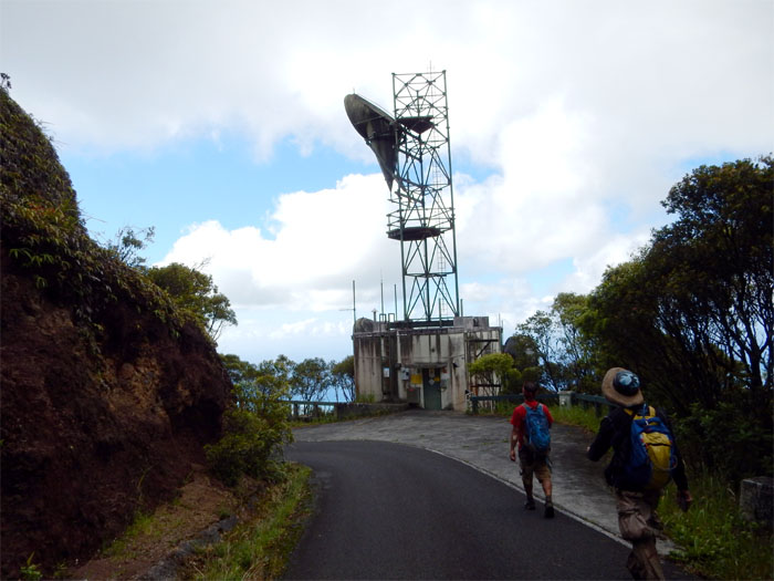
The white dome of the tracking station started to loom larger in our sights.
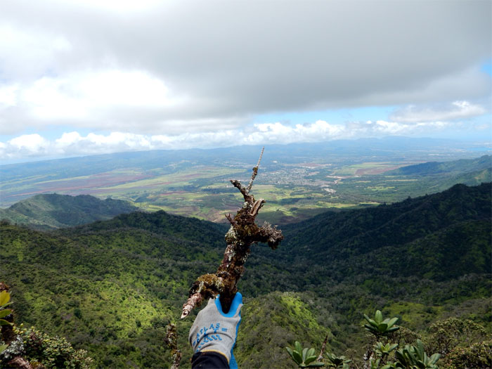
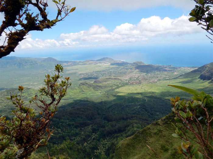
Looking out towards the central plain of Oahu. We could hear live fire training coming from Schofield Barracks.
Looking into the largest coastal valley on the West side. Oahu is said to have originated from this spot when volcanic eruptions formed the island.
The expression says it all. The last pitch coming up made you work for it.
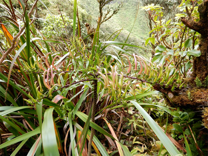
Sighting of the Koolau Range Lobelia. Hey, aren’t we are on the Waianae Mountains?
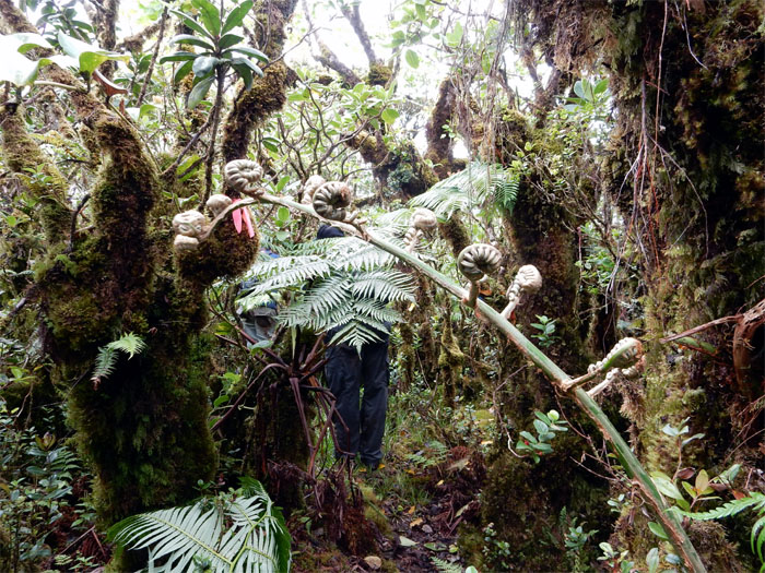
We were not out of the woods or bog yet. We picked up the ribboned trail. Lost it. Picked it up again. Lost it. Picked it up again. You get the idea.
On solid ground. Err, planks. We simply followed the planks out of the bog.
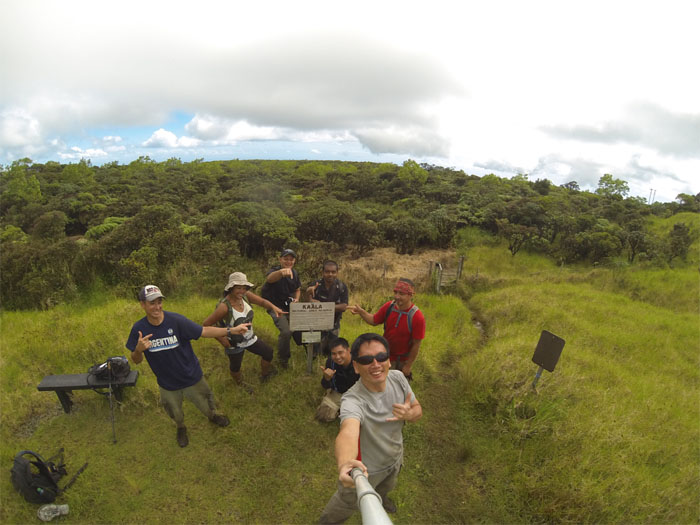
Top of the highest mountain on Oahu, at 4,025′ elevation. Group photo left to right: John, Thessa, James, Marvin, Chris, myself and Jose.
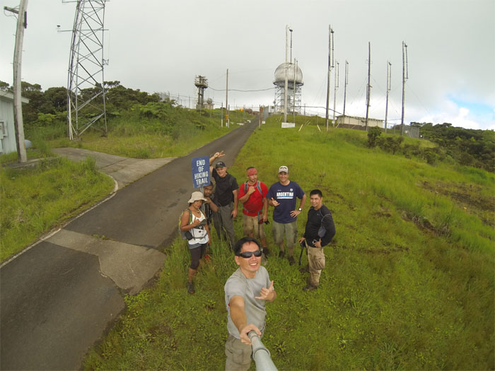
End of hiking trail…
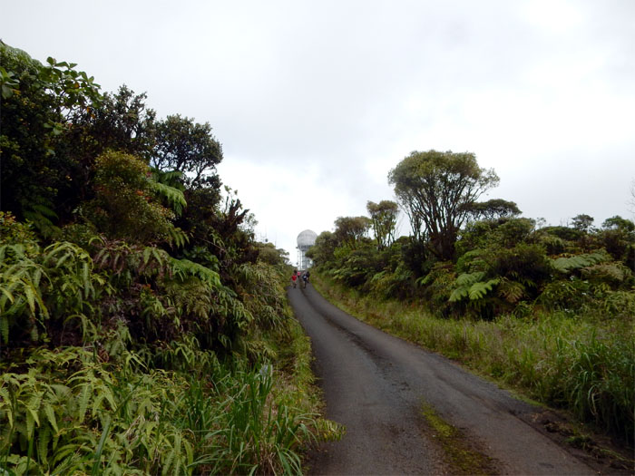
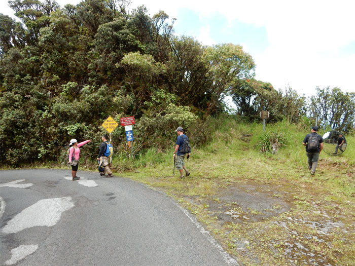
…Start of paved road. All seven miles. Yeah.
We checked for any incoming traffic, found none and proceeded down the road.
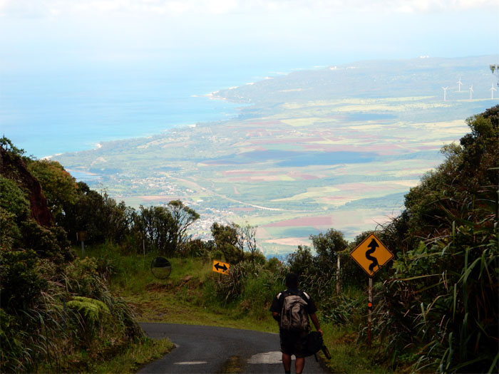
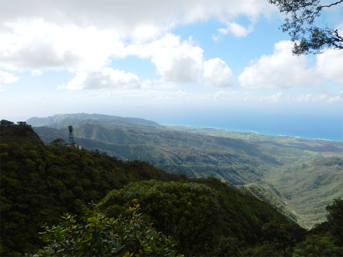
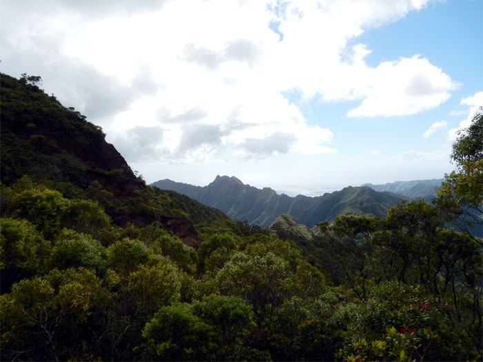
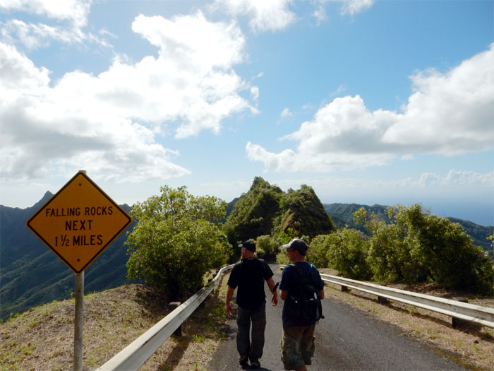
The view coming down the road from 4,000′ elevation was breathtaking. Let’s build some homes up here!
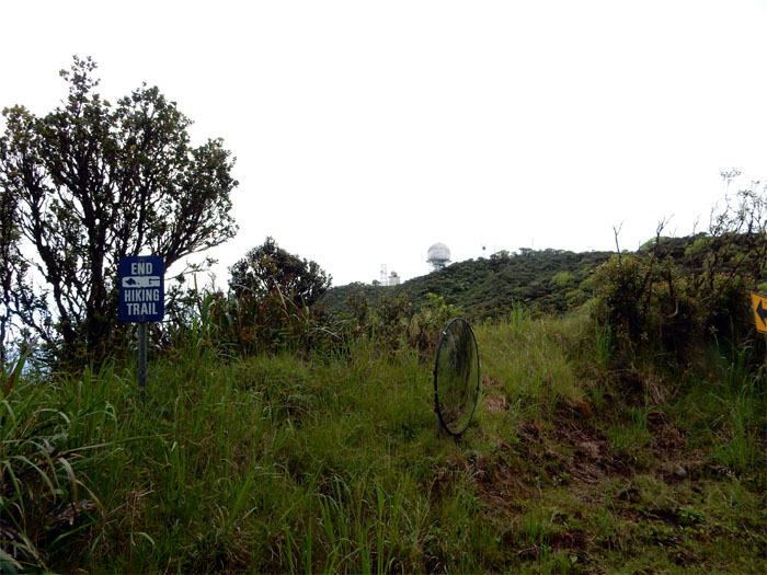
Where is the start of the hiking trail?
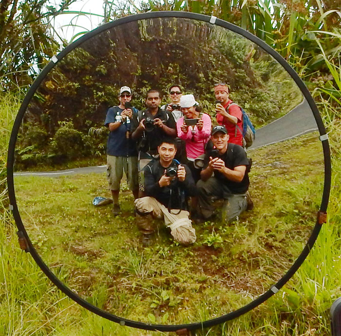
The ultimate group selfie. Yeah, we are a bunch of narcissistic individuals collectively lumped together.
I believe the end of hiking sign refers to the Dupont trail when it was open. Now it’s closed due to access issues.
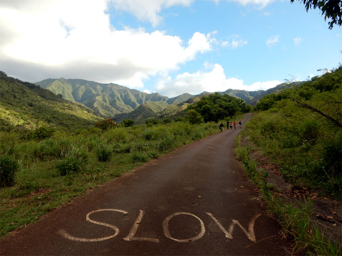
Wish we had those sneakers with wheels. Life would have been much easier.
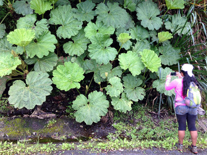
What is this? Photo by John Garrity.
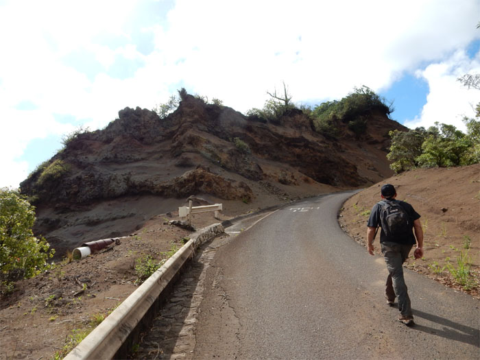
A truck sped past us at this section. Didn’t even stop to ask if we needed a lift.
The crew lining up, for their chance to climb the famous Ka’ala ladder. Only Thessa went up.
Squinting hard enough, we could see the cabin past the pyramid peak of Ohikilolo.
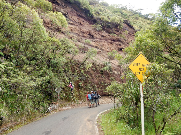
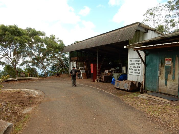
Hard hats optional.
Click here for the larger image.
Since the road was blasted out of the mountain, the exposed sides are in a state of erosion, with rocks and dirt being showered on the road. Who cleans this stuff up?
We can take off our fluorescent safety vests now.
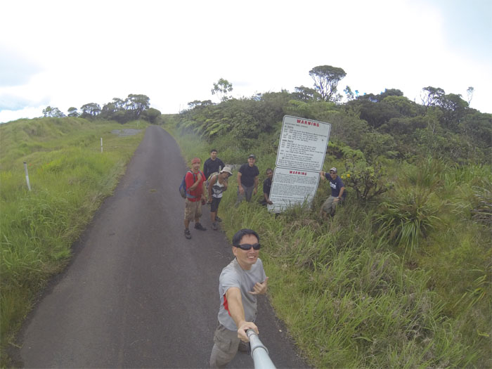
No sign of the friendly dog from last time. Sad. Since we were coming down the road, we didn’t see the signs until we hopped over some gates and looked back. This road is closed to hikers. I will miss you Ka’ala Road. Not.
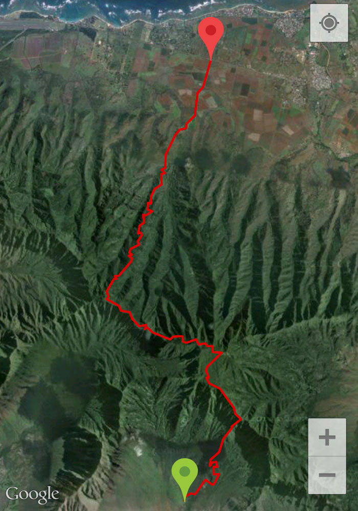
The 11.6 mile hike was filled with rock scrambling, summit and road hiking and thankfully no yellow jackets. All in all, a nice day on the West side. Post hike meal at Ramen-Ya. Don’t expect the hot tea to be free. Buck fifty. Sheesh.


{ 2 comments… read them below or add one }
Hey there. I enjoyed reading through this. I have have some extreme trepidation about hopping that Mt Kaala Road fence and riding my bike to the top. You said a truck sped past and didn’t even care that you were there? That gives me hope anyway. You seem to indicate that you didn’t know it was a closed road though, so perhaps you could have played the ignorance card if he had actually stopped to ask what was going on. Hit me back with your thoughts. I have never seen a car come in or out and I don’t see what the harm would be if one biker was tooling around up the road, especially since the hiking trail ends right at the radar site.
Aloha Collen,
Thanks and glad you enjoyed the post. I believe Mount Ka’ala Road is a federal road and is off limits without express permission from the various entities that use it. The road also crosses farms and ranches at the bottom and there are explicit signs that forbid unauthorized entry. I heard of one story where a group coming down was accosted by a farmer with a shotgun. I would not recommend going up the road with a bicycle. I guess we were just lucky that day.
Mahalo