Day 1
Our bags were packed for an adventure that was many years in the making, one that was delayed by the manufactured COVID pandemic that swept the globe in 2020.
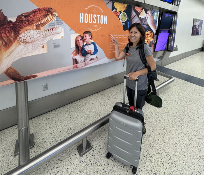
We arrived at the airport that opened in 1969, the year that man first landed on the moon. It is also the only airport in the Americas to fly to every single inhabited continent.
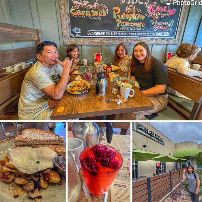
Thanks to Chris who picked us up and took us to a nearby shopping center where we had a hearty breakfast with her daughter, Kaylee.
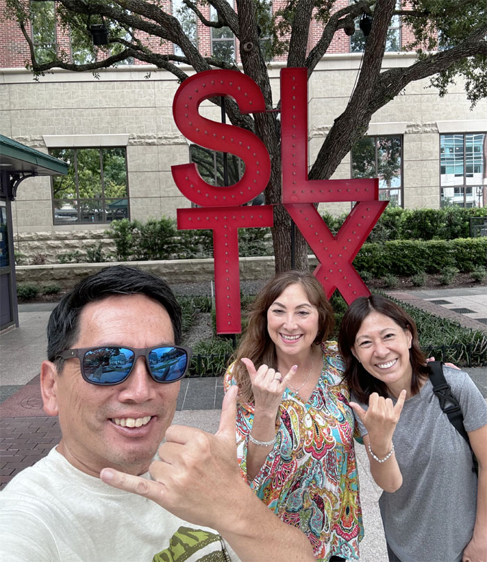
Checking out the town that got its name from sugar cane production that flourished in the area from 1828 until 1928.
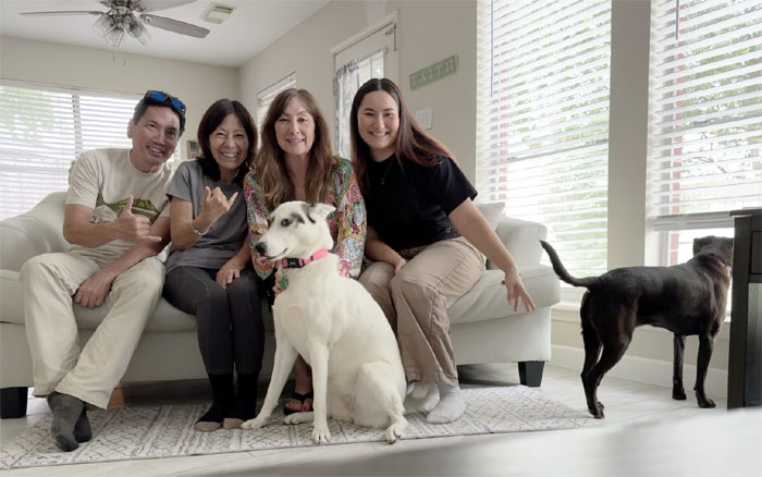
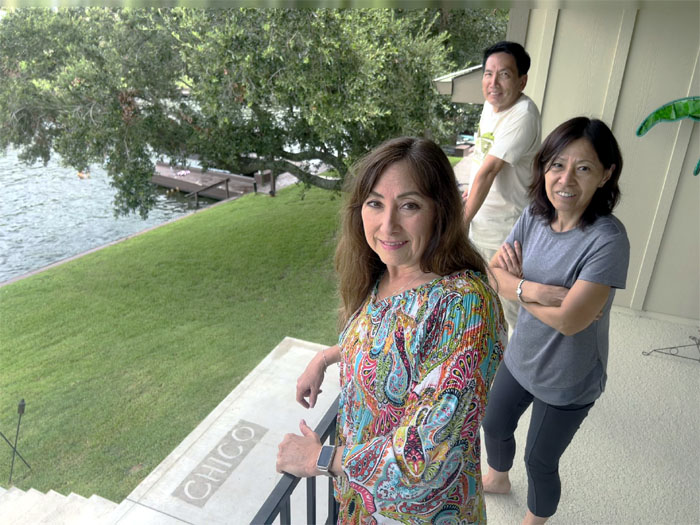
Meeting the other family members, Suki and Abbey. Abbey was more interested in checking the squirrels in the yard than sitting still for a photo.
Chris then drove us to Chico’s lake house where Matt joined up with us.
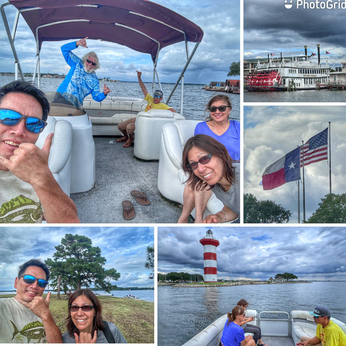
Getting a boat ride in the man-made lake that was built in 1973 as an alternative water source for the city of Houston.
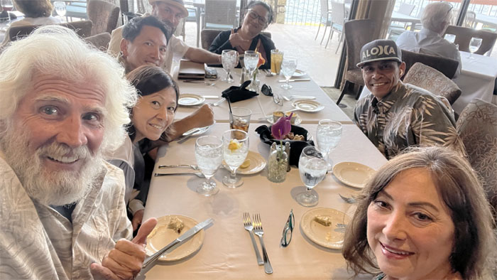
Thanks to Chico for the delicious dinner at the yacht club where we were joined by his daughter, Monika and her husband Keith. Collared shirts are the dress code.
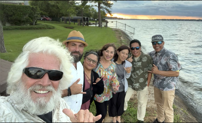
Catching the sunset disappearing on the 21,000 acre lake.
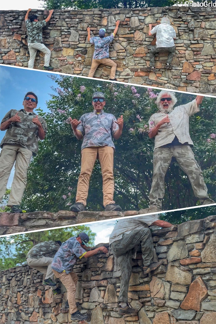
Getting our climbing fix wherever we go. What goes up must come back down.
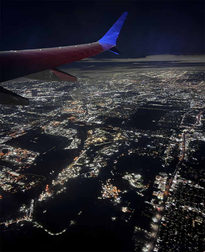
Leaving the Lone Star State airspace as we caught the red eye flight to South America.
Day 2
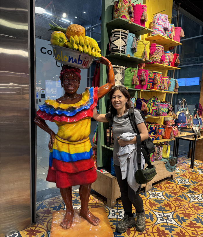
We landed in the largest city in Columbia for a short layover. No time to sample bandeja paisa or ajiaco dishes.
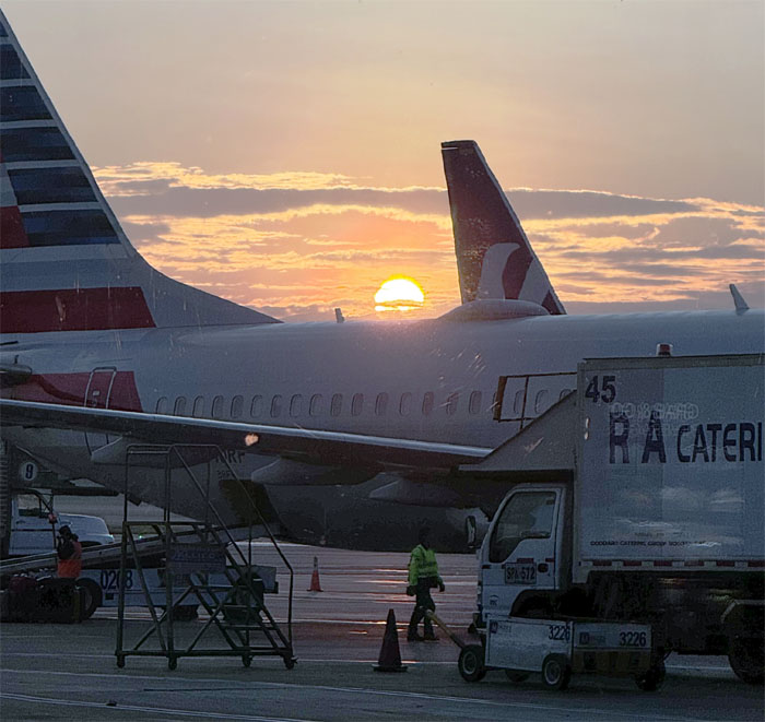
Catching the sunrise while waiting for our connecting flight.
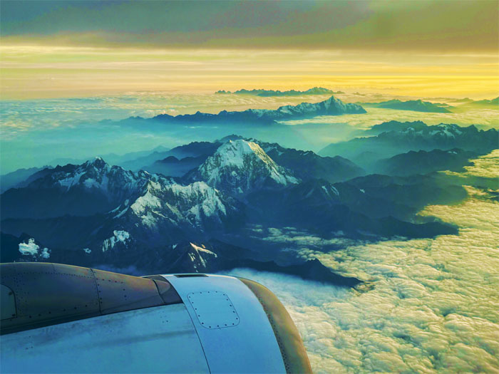
Flying over the longest continental mountain range in the world.
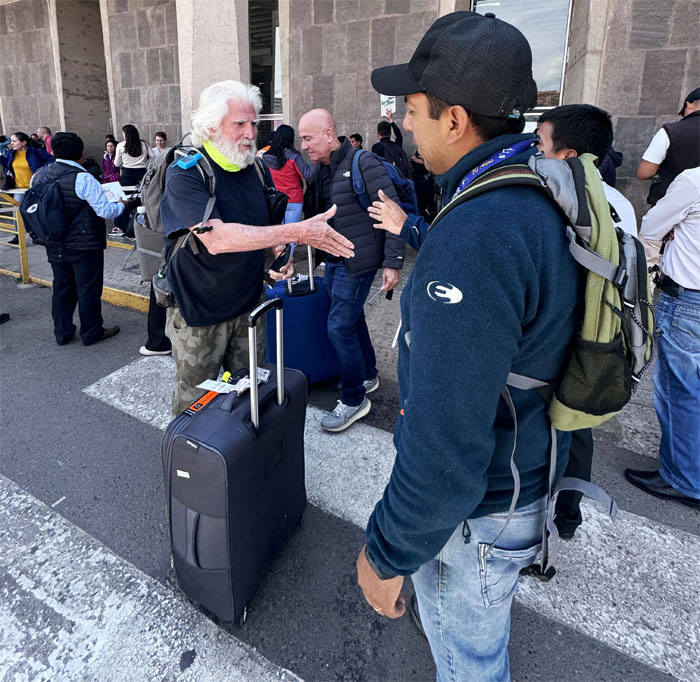
Meeting our local guide and pressing the flesh, Jose Luis Candia, who picked us up from the airport. Aida, Allison and Deborah had flown in before us on different flights.
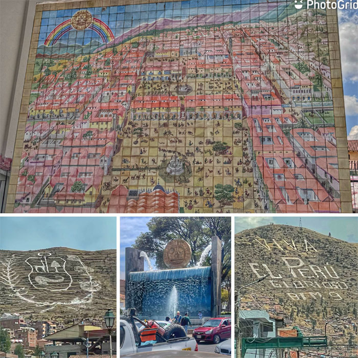
Driving through the streets of the city that at 11,200′ is one of the highest inhabited places in the world. A constant sound heard throughout the city was the honking from cars, which are actually taxicabs looking for fares.
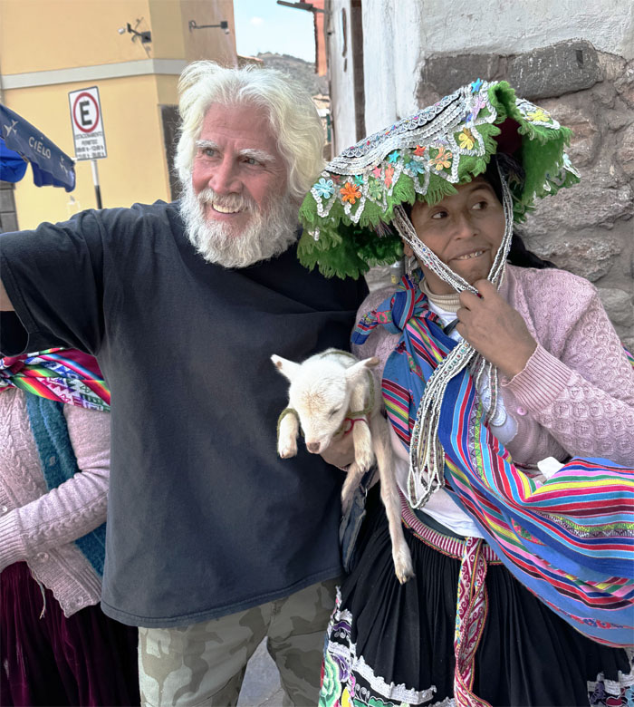
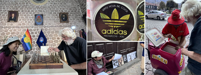
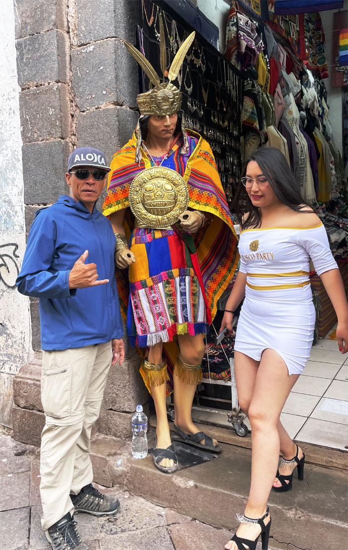
Chico taking a picture with one of many in your face street vendors. Everybody’s got to make a living.
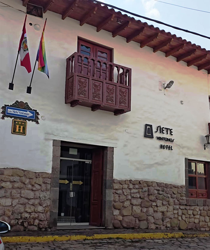
Checking in at our second choice hotel. We were told not to drink the tap water and not to flush the TP down the pipes. Cultural adjustment.
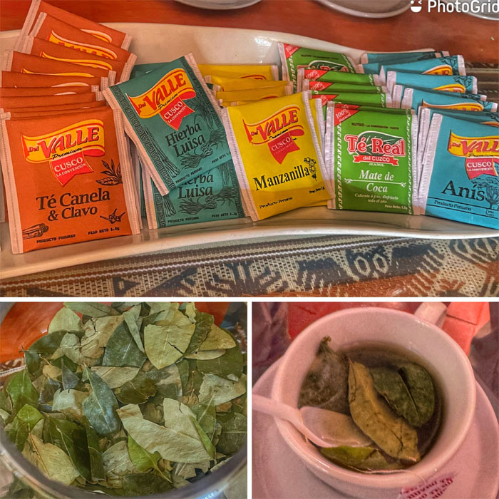
We tried a variety of teas that were supposed to help with altitude sickness before venturing out of the hotel.
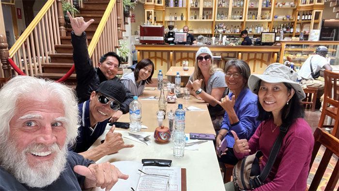
Group photo at the nearby eatery that was founded in 2003 by an Irish and Australian. None of them was named Jack.
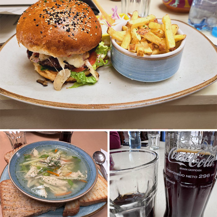
We were told to eat light. Guess who followed instructions?
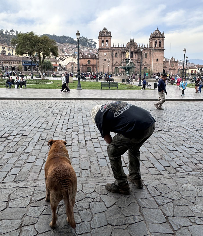
A common sight in the city, dozens of dogs roaming the streets. However, most of them have owners and some even have clothes on them. Peruvians tend to think of their dogs more as outside cats than indoor dogs.
Checking out the local sights.
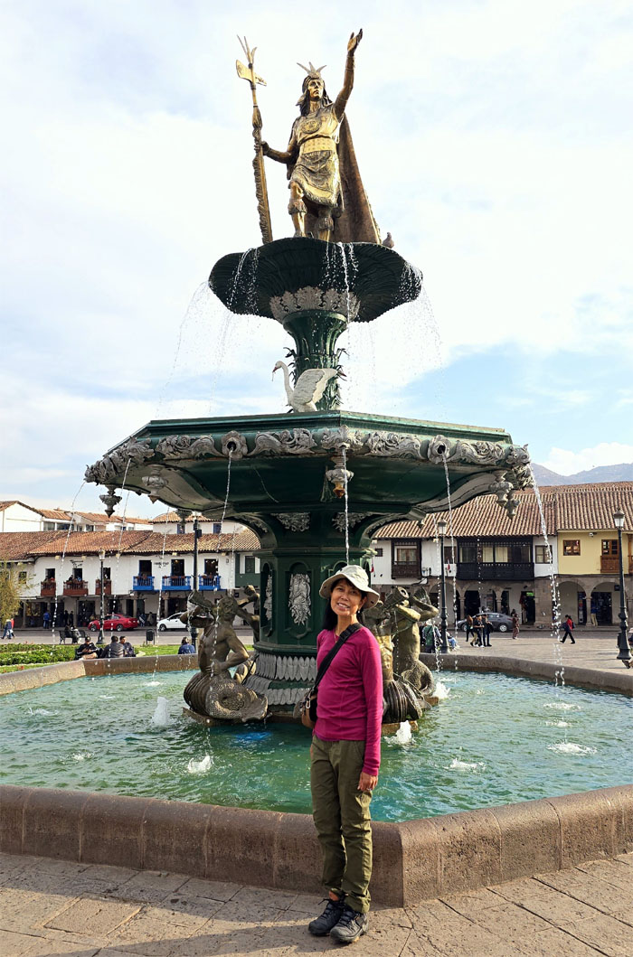
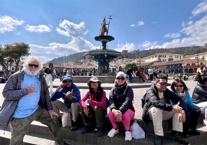
Aida in front of the statue of Pachacuti, Emperor of the Inca Empire. The water fountain was donated to Cusco by New York City in 1872.
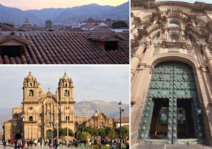
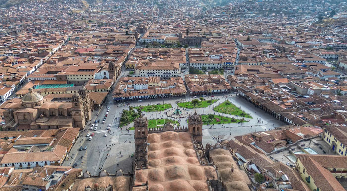
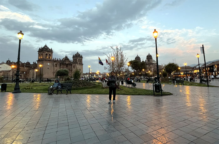
Exploring the main public town space that existed back to Inca times and the original name may have been Huacaypata. The square is a mix of colonial architecture built on the ruins of the Inca palaces.
Drone view of the city captured by Tim Van Hasselt.
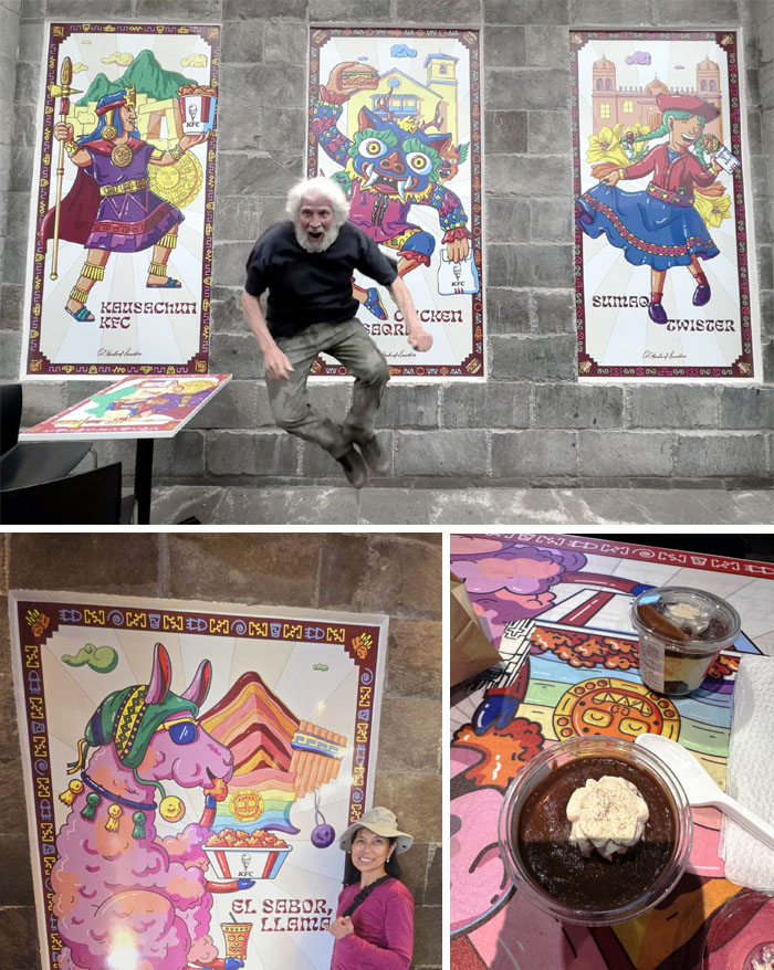
We stopped at a familiar fried chicken restaurant that dominates the fast food industry in Peru to try out the regional desserts.
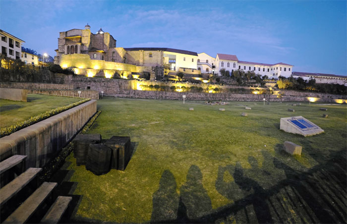
The group decided to check out a festival that was supposed to happen tonight at the remains of the Inca’s Temple of the Sun. When the Spaniards conquered the city, they discovered the temple was decorated with gold and silver that was plundered by the Spaniards and sent back home. The temple was later destroyed and the Church of Santo Domingo was built over the ruins. We missed the festival by that much.
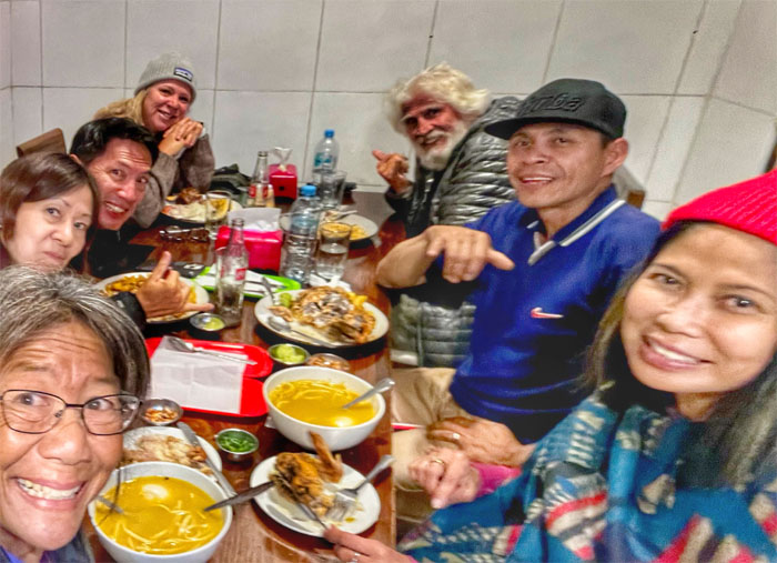
We had dinner at an “authentic” Peruvian eatery. The fried fish was the winner of the night.
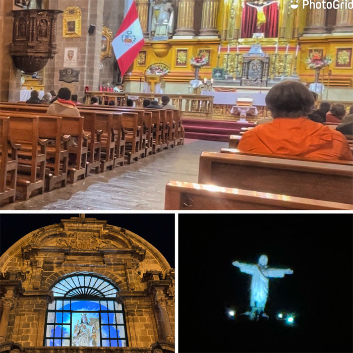
Ducking into the Catholic Church that was built in the 16th century.
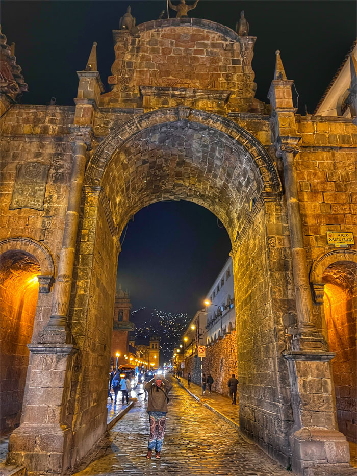
Allison braving traffic to stand underneath the stone gateway that was built to celebrate the brief union of Peru and Bolivia between 1836 to 1839.
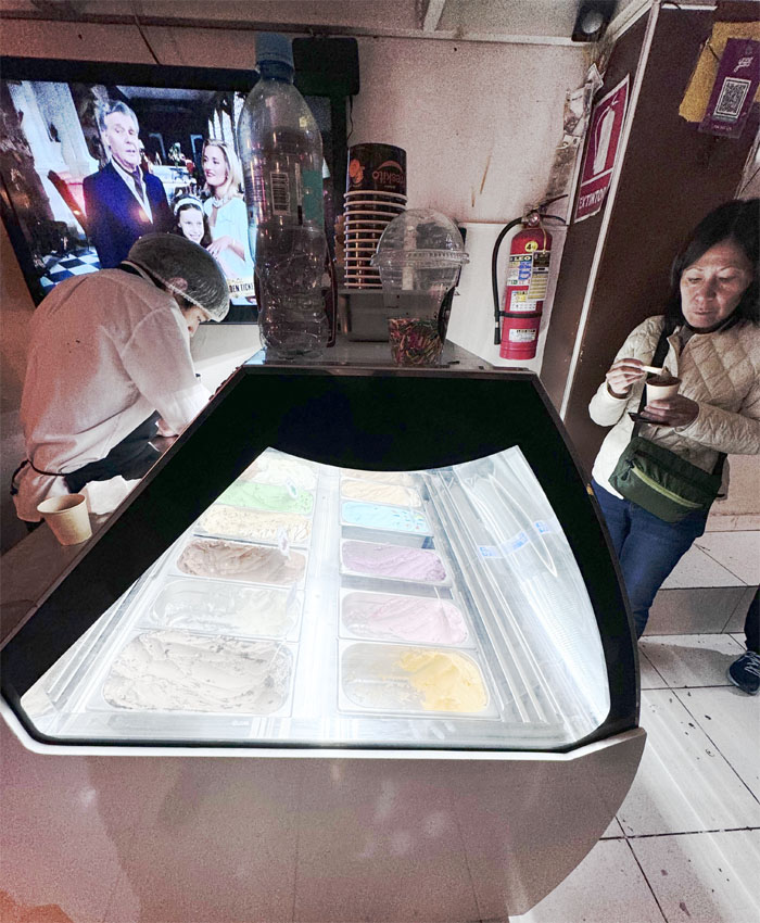
Mari satisfying her sweet tooth at a local gelato shop.
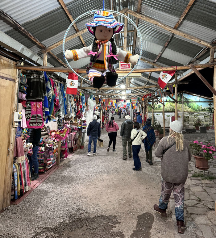
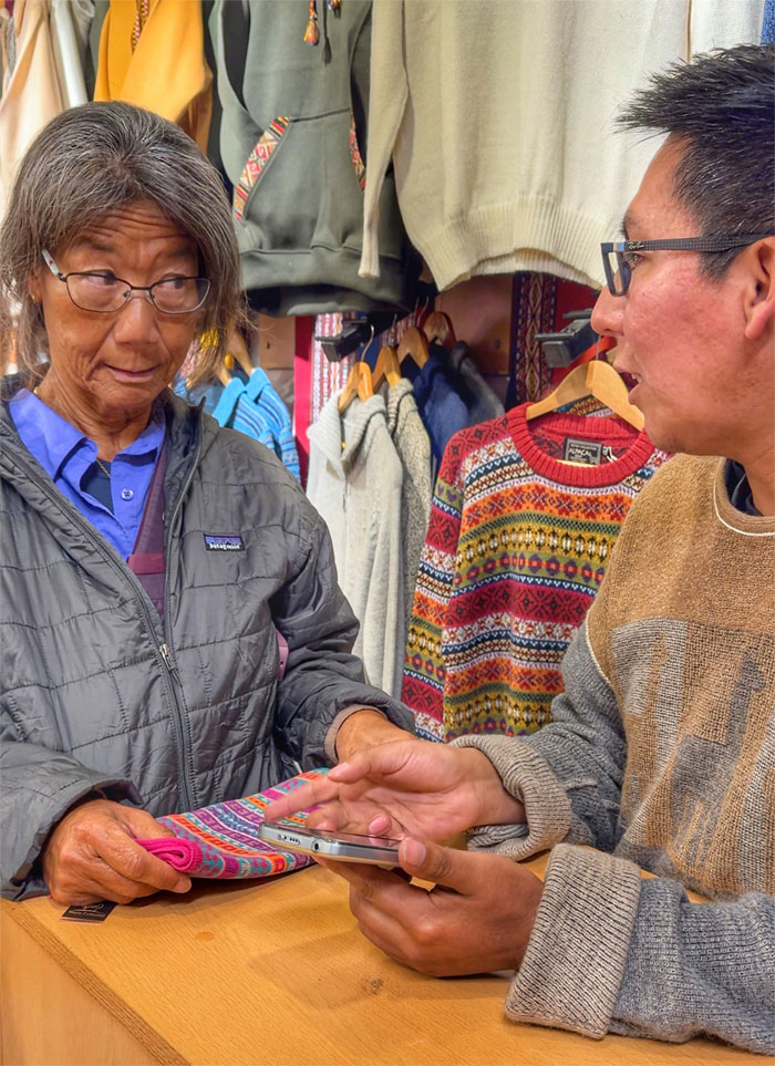
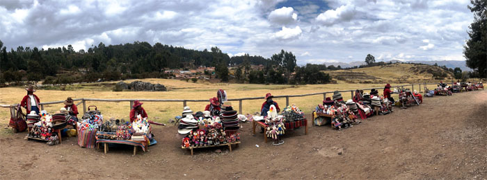
Checking out the local market for trinkets to take back home. Supporting the local economy.
The Art of the Deal. Trump who?
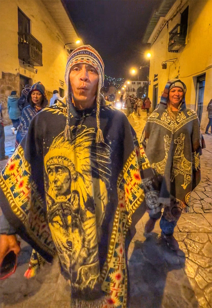
The Three Amigos whistling their way back in alpaca ponchos, one of them was not native.
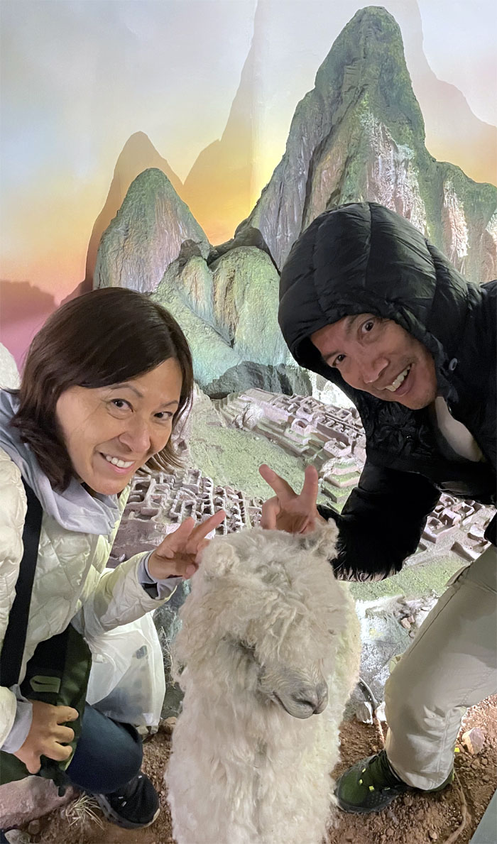
The postcard way of visiting Machu Picchu.
Day 3
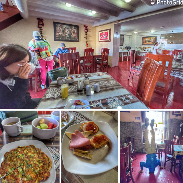
The group having our breakfast at the hotel followed by yoga posing.
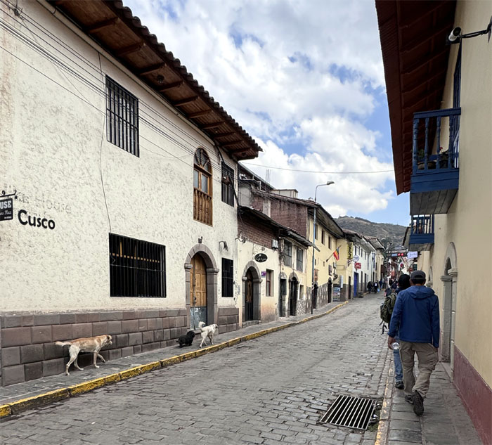
Dogs on the left, humans on the right and cars in the middle. Traffic control at its finest.
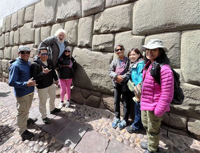
Group photo in front of the twelve angle stone of Hatunrumiyoc. The six ton rock was precisely chiseled to fit in with the other rocks that formed the foundation of the Inca Palace known as Inca Roca and was built over 700 years ago.
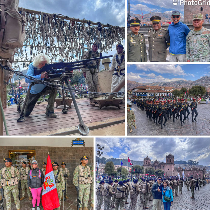
We ran into a military parade that was making its way through the public square. El Tio Sam was even trying to recruit Chico and Matt, or was it the other way around?
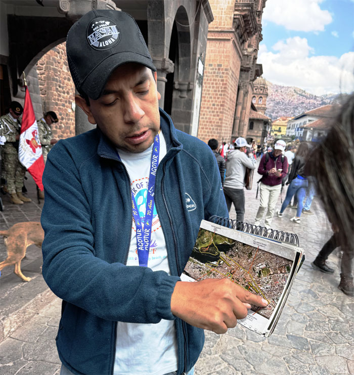
Jose explaining how the city was laid out in the shape of a puma. The puma or jaguar symbolizes the power of the earth.
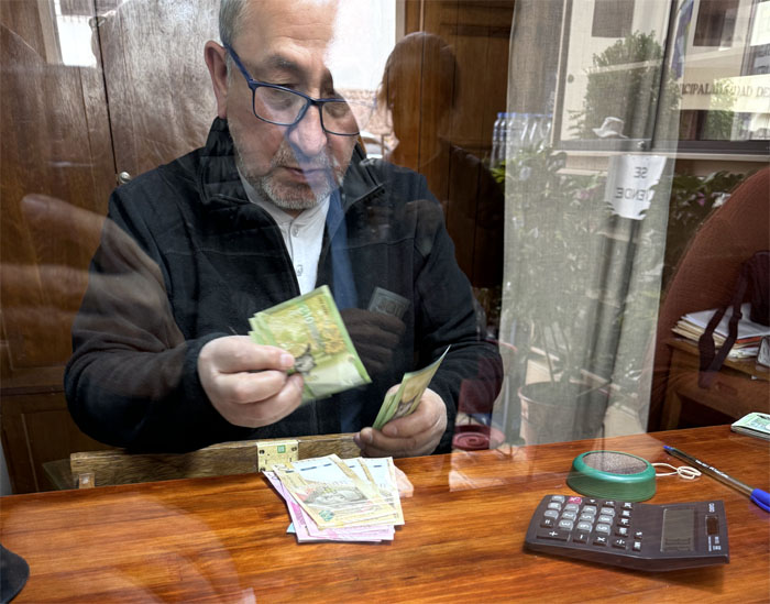
Exchanging our dollars for the local currency which was the Sol. During our visit, the rate was roughly one greenback would get us 3.75 SOL.
Not just the statue had a wandering eye.
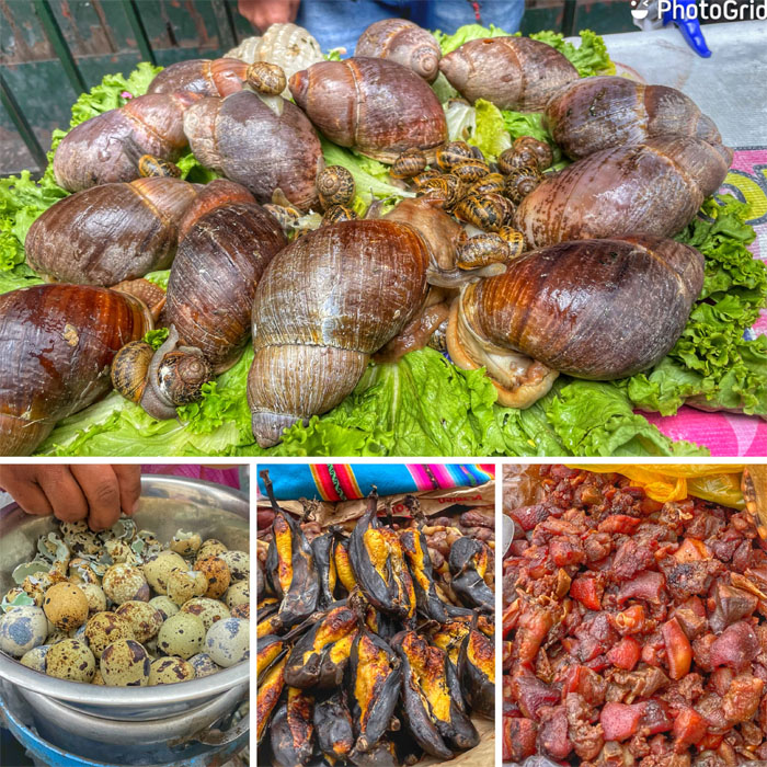
Passing by vendors hawking their food, one of them was not to be ingested. In France, it would be escargot instead of a skin product.
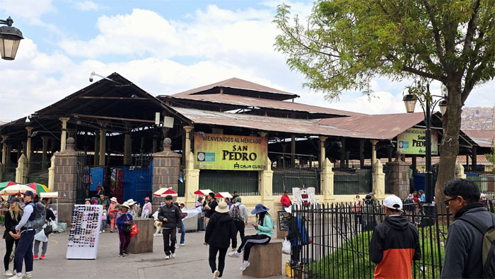
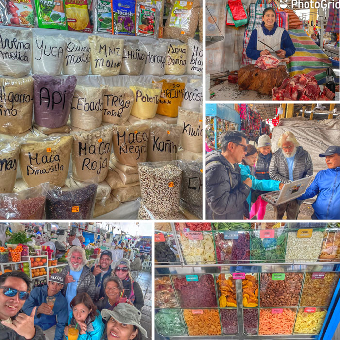
Checking out the oldest market in the city that was designed by Gustave Eiffel in 1925.
Roaming the multiple stalls where we had freshly blended juice, sampled different chocolates, nuts, salts and grains. Passed on the meat that had a following of insects.
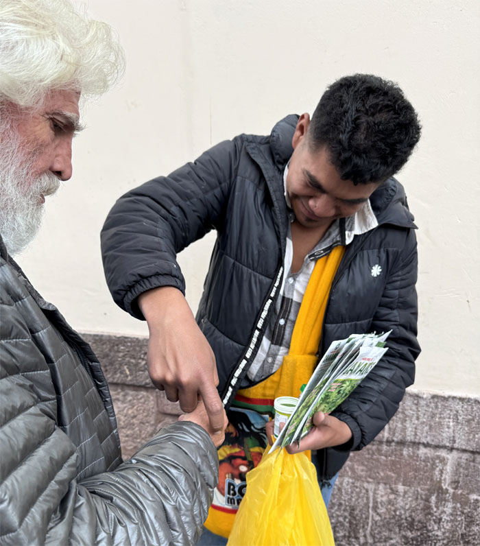
Street samples for the skin. Better than smoking.
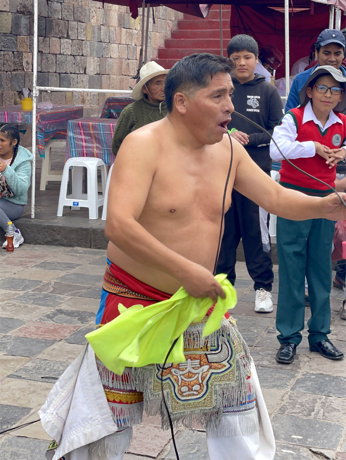
Watching a street performer clean his sinuses. He still didn’t lie on a bed of cacti. Tease.
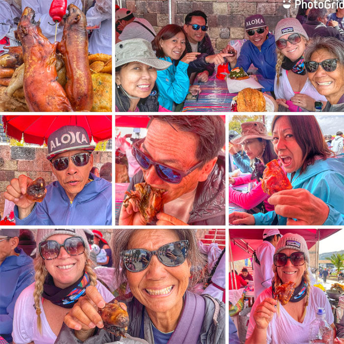
Sampling the local delicacy, cuy or guinea pig. Some of us attacked it with gusto while others nibbled on the Andean rodent raised just to be eaten, while others still thought of it as a pet and declined. Taste like chicken. Oh, it is chicken.
The group waiting for our bus tour while Matt kept a suspicious eye on the ticket lady. Trust issues.
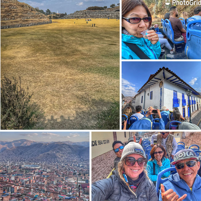
Bus eye view of the city.
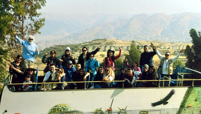
We gained over 500′ of elevation as the bus drove up past the city views and into the mountains, interrupted by a couple planned stops where folks tried to sell us alcohol and photo books. Everybody’s got to make a living.
Photo opportunity.
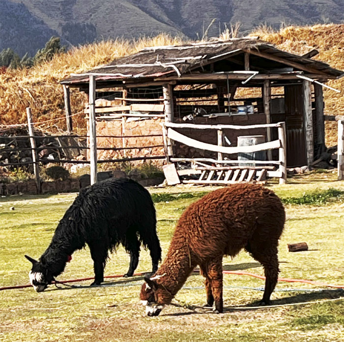
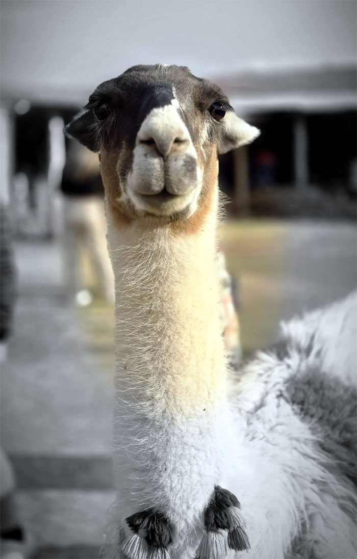
The bus stopped at a tourist attraction where we saw alpacas and llamas grazing in the open field.
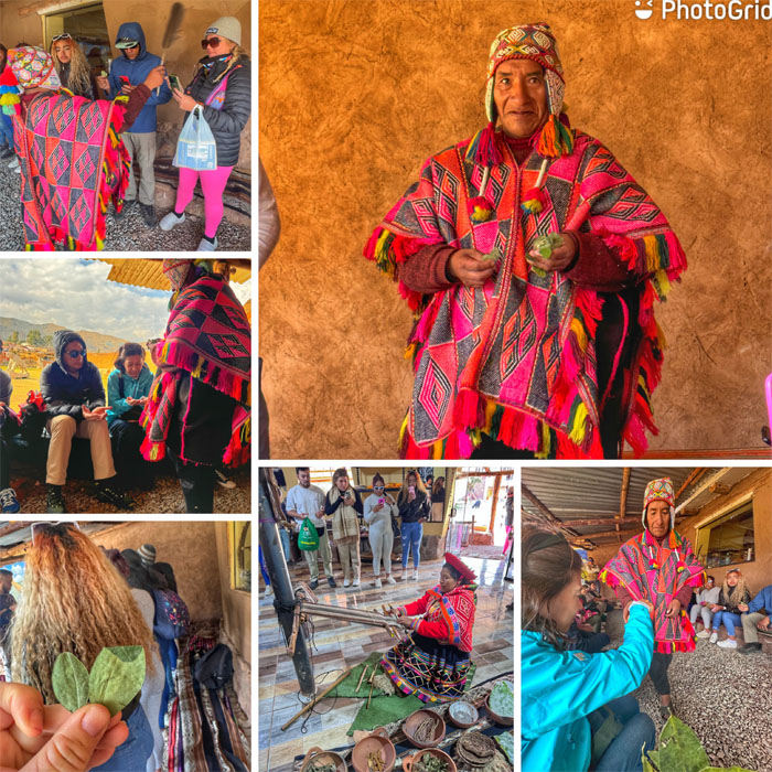
We got treated to a “medicine man” chanting over our group and witnessed the local textile weaving.
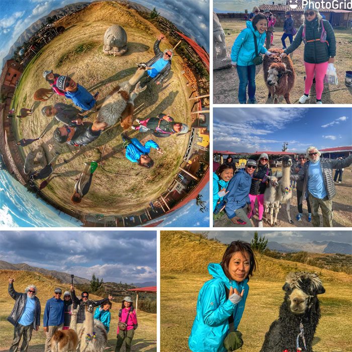
Take a picture, it’ll last longer.
Ok thanks, we will. Making memories with a mixture of llamas and alpacas, animals used for fleece and transportation by the locals for thousands of years.
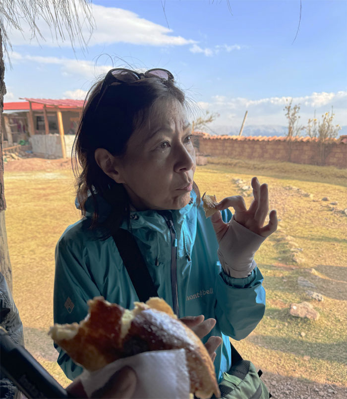
Sampling fresh baked empanadas straight out of the brick oven. Quite tasty.
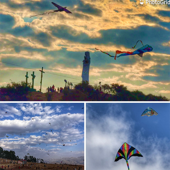
Kite flying is quite popular in the Archaeological Park of Sacsayhuaman as evidenced by the dozens of colorful wings streaming through the sky.
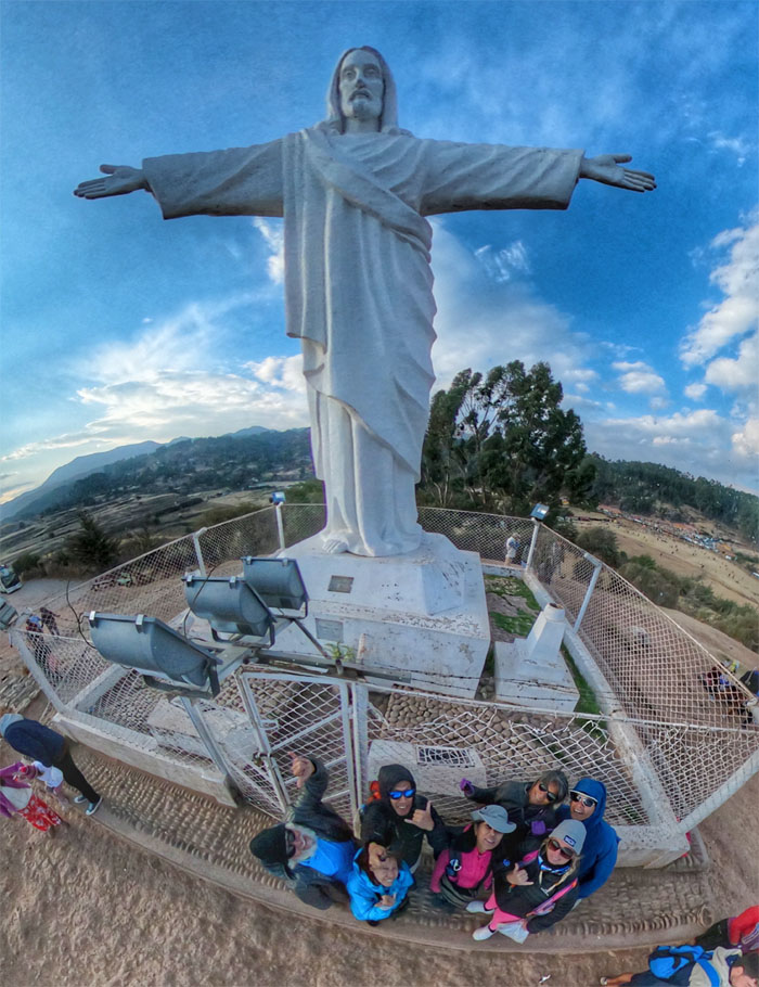
Group photo with the White Christ, a 26′ tall statue of Jesus Christ built by Christian Palestinians in 1945 in gratitude for allowing them to settle in this country.
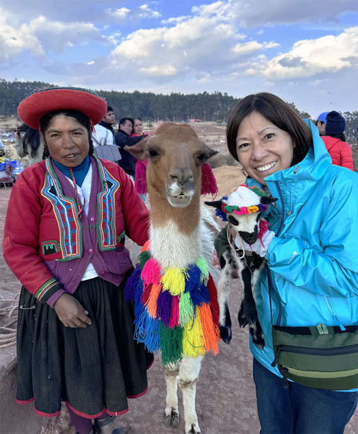
Mari posing with the colorful local inhabitants for a small fee on top of Pukamuqu, a mountain that sits at 11.811′ elevation.
The bus took us back down the winding road and dropped us off nearby the town square.
Our dinner was at the restaurant that was recommended by Jose, where they served authentic Peruvian Chinese food known locally as chifa. It was quite good.
Day 4
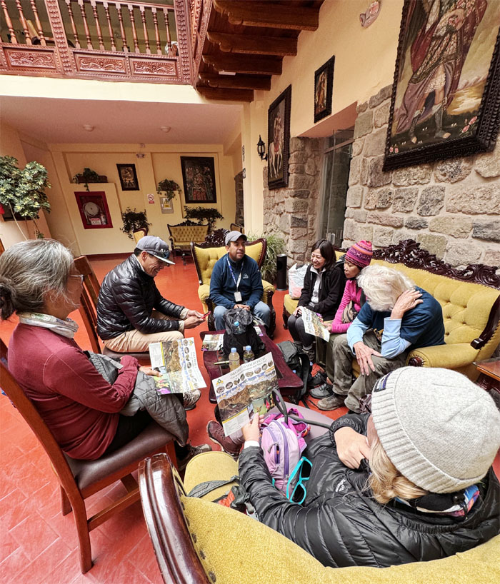
We had our hotel breakfast and then Jose went over the days itinerary and the upcoming Inca Trail hike. Hey, where’s my brochure?
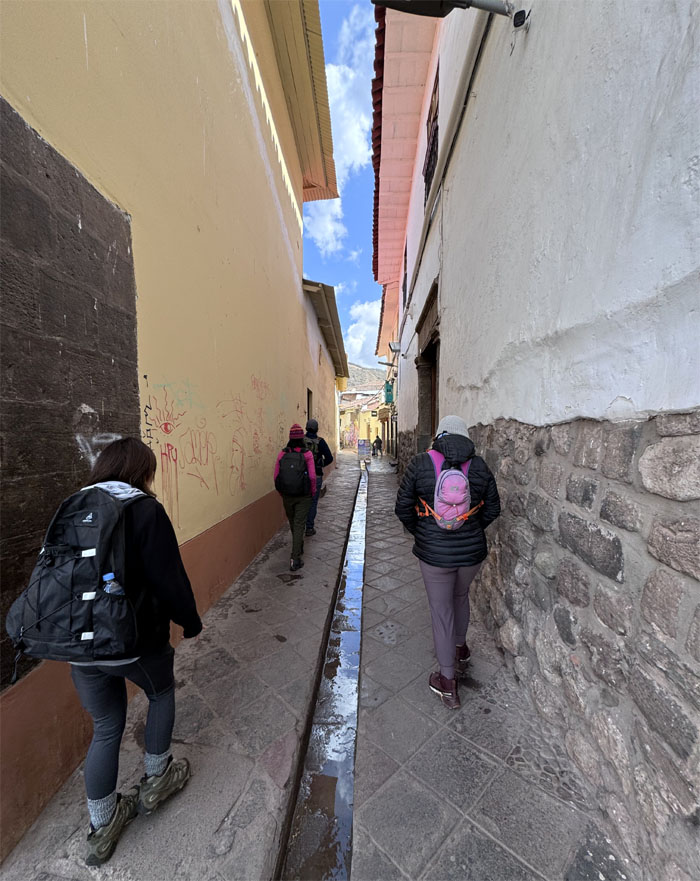
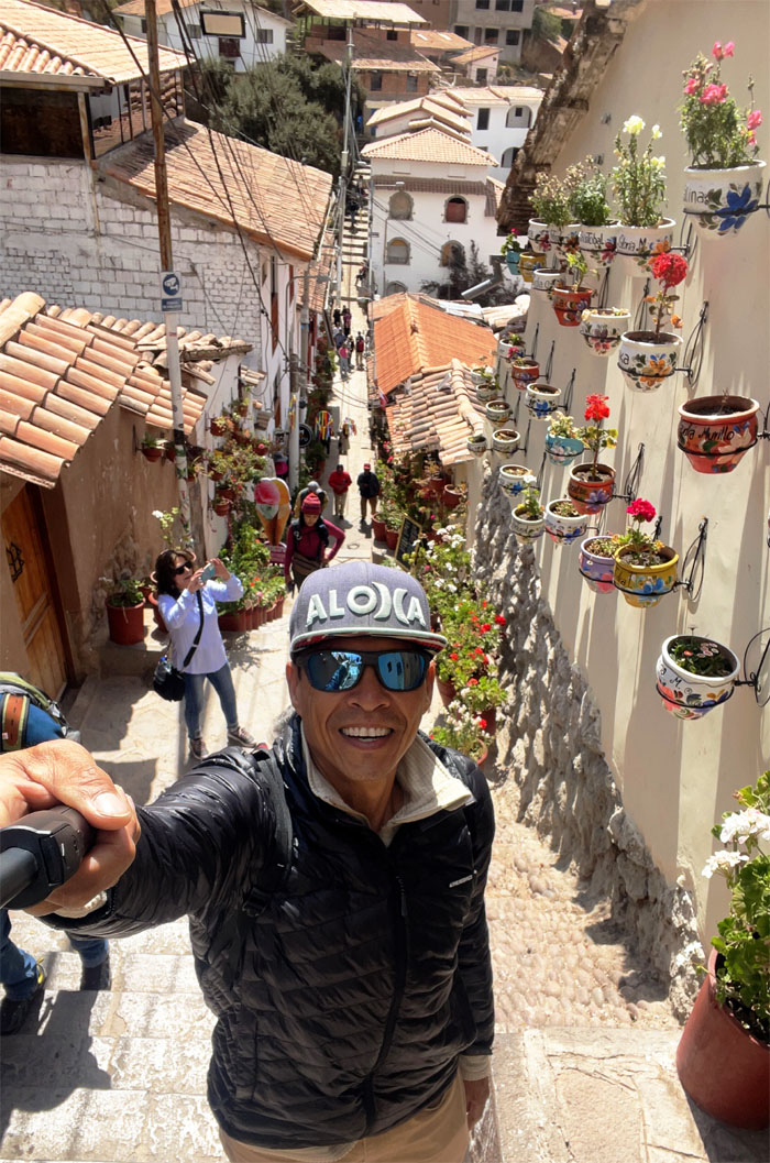
Going down the narrow street strangely devoid of dogs.
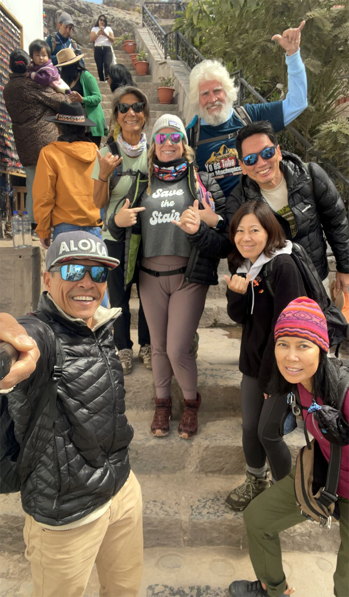
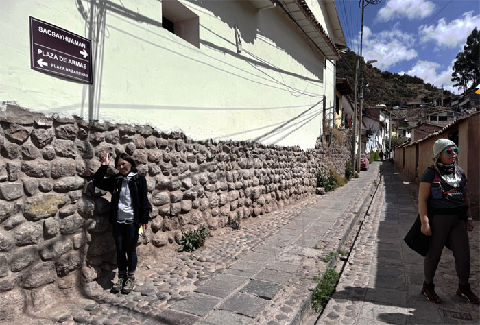
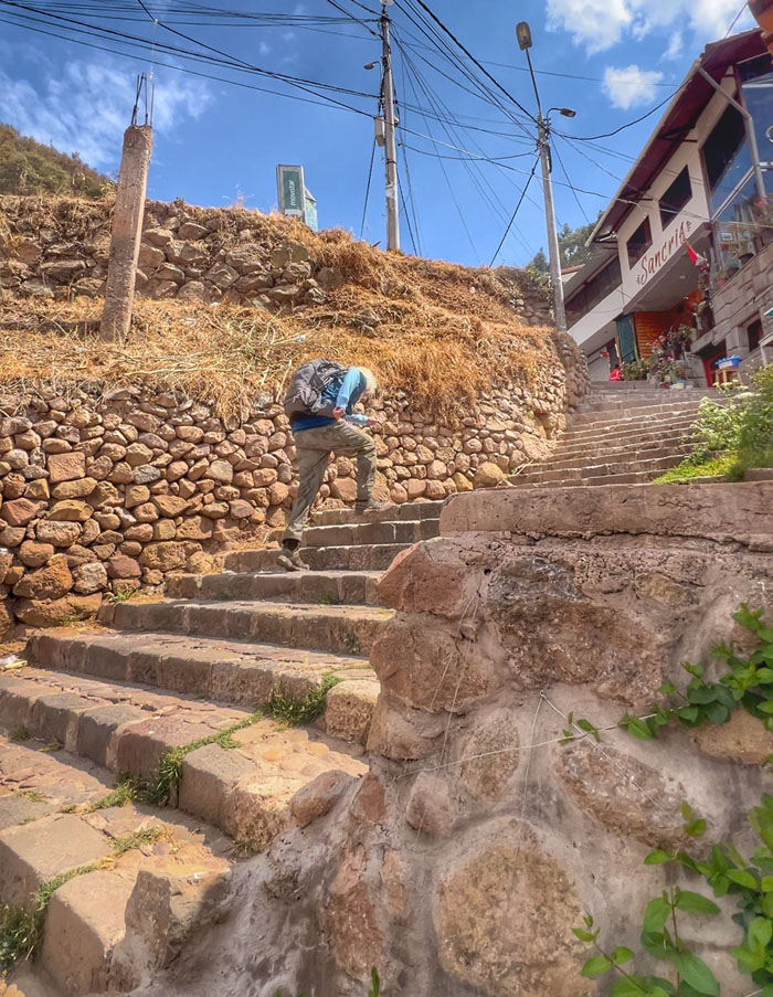
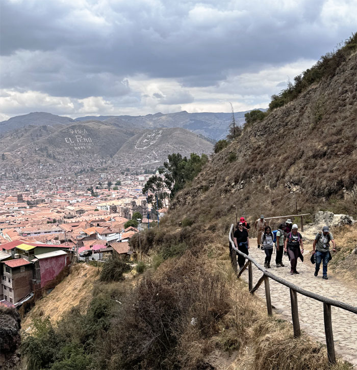
The start of the long flight of steep stairs to Sacsayhuaman, that Jose said would be a good introduction to what lay ahead of us on the Inca Trail.
Matt coming up the stairs with multiple colorful potted plants on a section of the nearby wall.
Taking a breather as we reached a flat section of the climb.
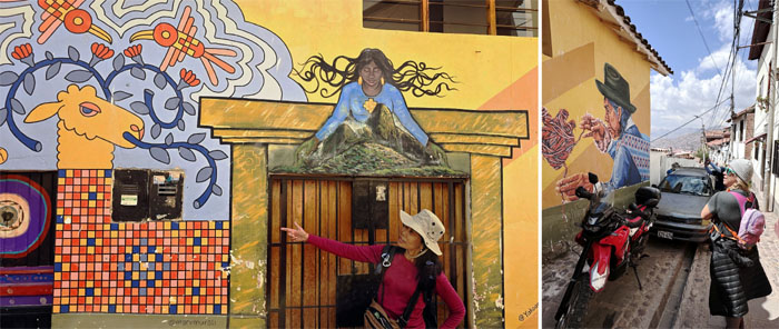
Admiring the artwork splashed on the neighboring homes.
Chico climbing the stairs.
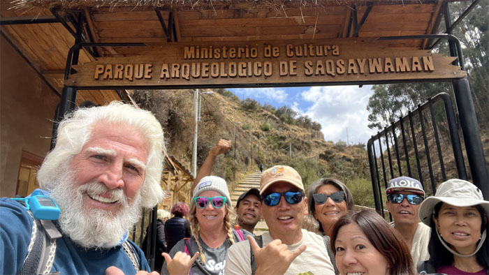
Group photo at the entrance to the archaeological park of the Citadel of the Royal Hawk. Or what they call Sexy Woman (Saqsaywaman/Saqsahuaman) for the tourists pronunciation challenged tongues, plus it sounds better for marketing purposes.
Walking up the somewhat steep road that replaced the somewhat steep stairs.
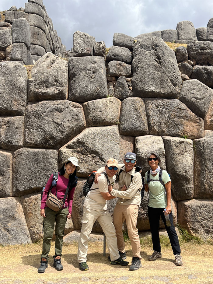
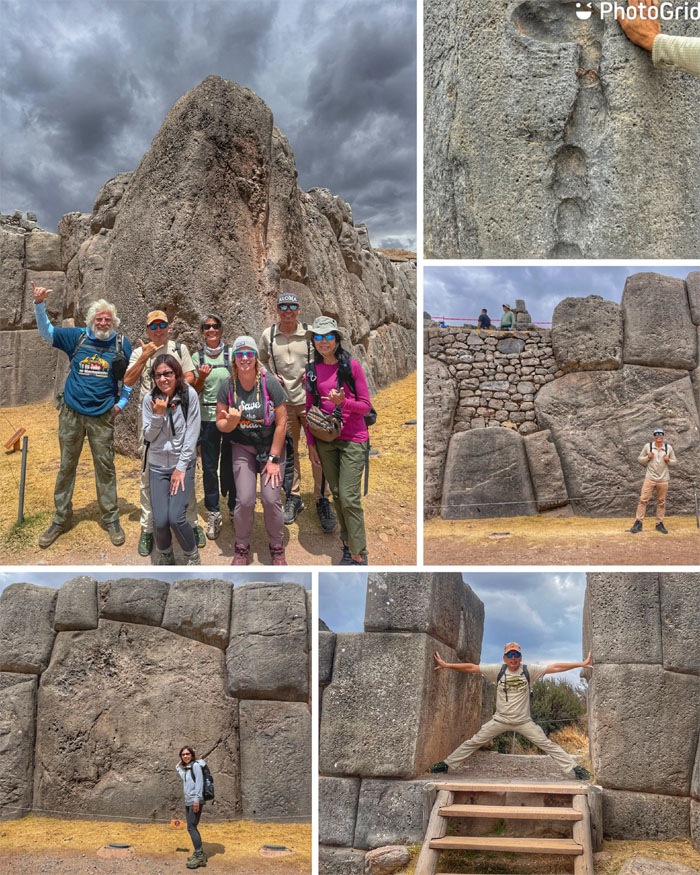
Photo of the wall that was a testament to Inca engineering where the rocks were precisely fit together so that mortar was not needed and joined so tightly that a piece of paper would not be able to slide through the joints.
Leave it to Matt to find a section where a piece of paper would fit in between the cracks.
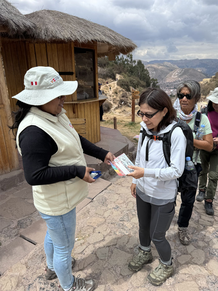
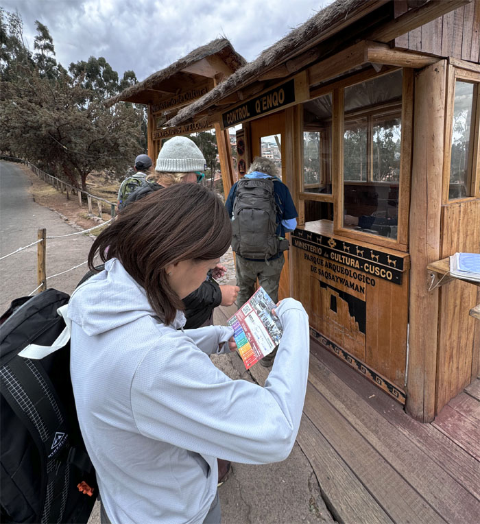
Admittance to one of 16 attractions. Don’t lose your ticket.
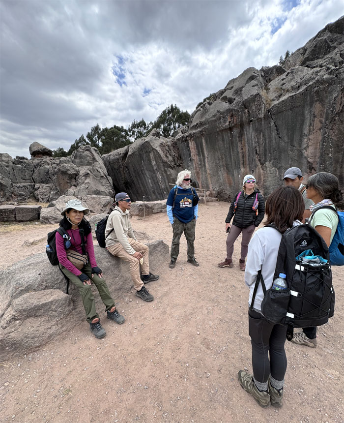
Exploring the sprawling complex that was actually one fifth of its original size, due to the Spaniards who destroyed and removed most of the rocks for their churches, palaces and homes in Cusco. The rocks that remained were too massive for them to move, with the largest estimated to weigh up to 200 tons.
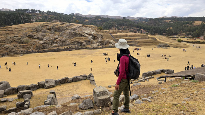
Looking over the great plaza from the top of the citadel that sits at 12,142′ and was built in the 15th century by the Incas for ceremonial and defensive purposes.
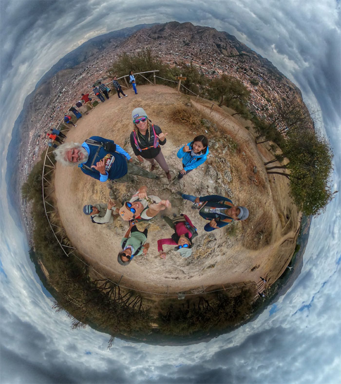
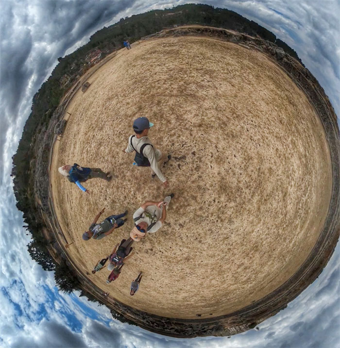
360 degree group photo of the scenic spot overlooking the city of Cusco below us.
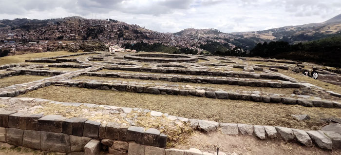
Looking towards the remains of the Temple of the Sun (Mayuq Marka) which consisted of a circular temple and two flanking towers, that were later destroyed by the Spaniards.
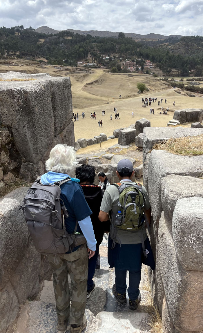
Descending down the stairs to walk across the Great Plaza to go “ober der.”
Aida at the base of the steps that would take us to other archaeological sites in the complex.
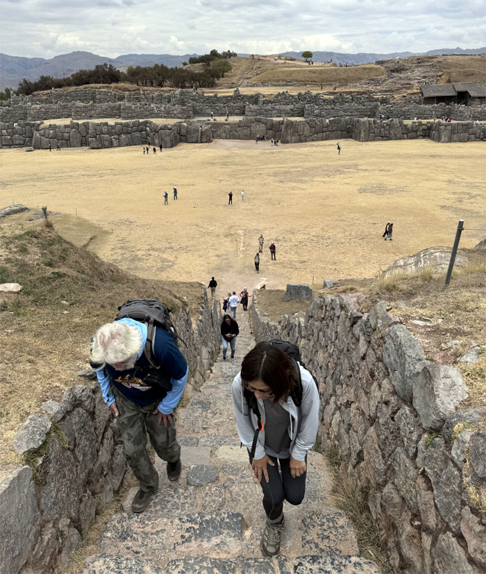
Chico and Mari climbing up another flight of steps at high altitude.
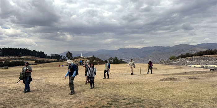
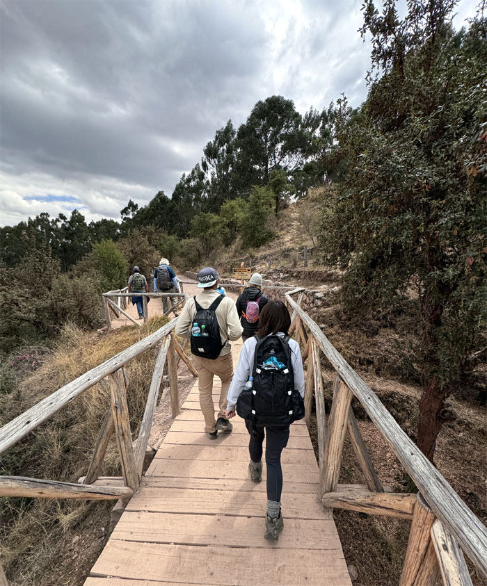
The group walking across the top of the hill.
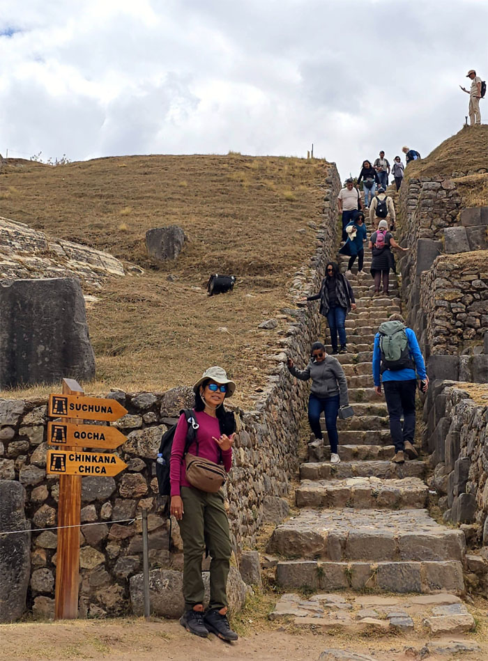
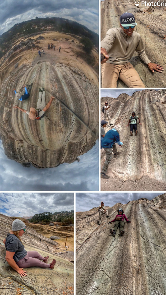
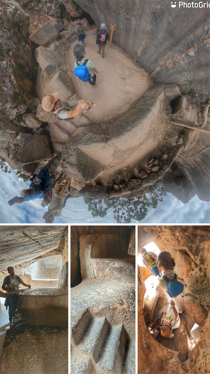
Sliding our way down on the slippery slopes of Suchuna where we polished the rock channels for future visitors. There were also steps, benches and an Inca throne on the top of the rock formation.
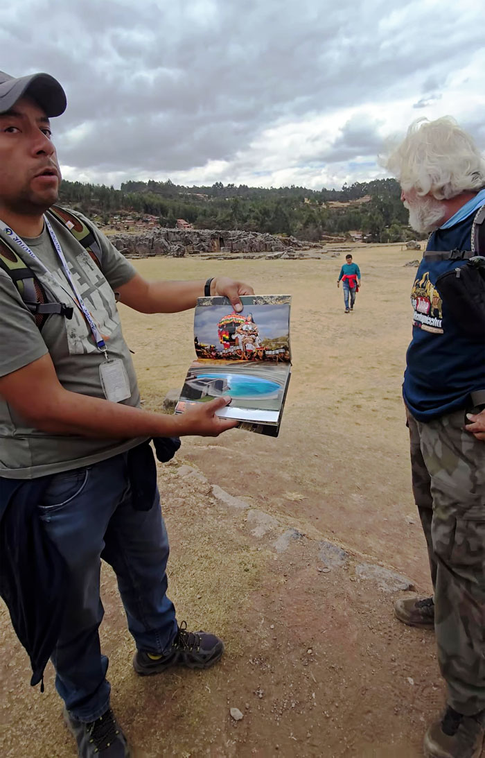
Jose showing us how the artificial pond that was cut into the bedrock next to a natural spring that was used for agricultural and ceremonial purposes looked during Inca rule.
“Swimming” our way across the bowl that some scientists think may actually pre-date Inca rule.
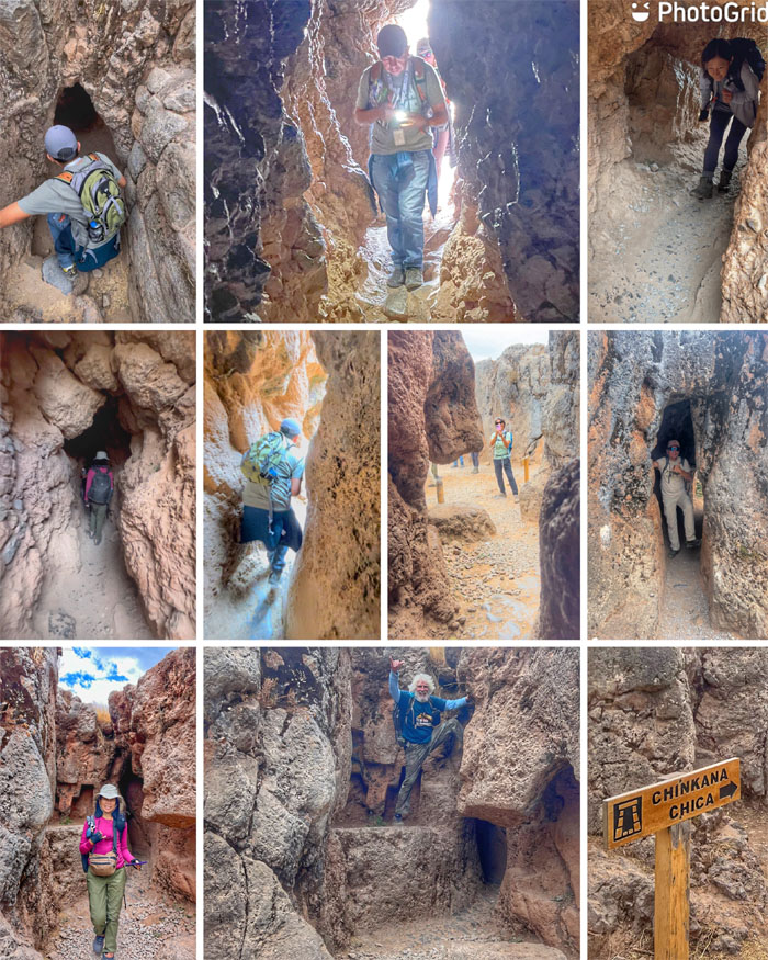
Making our way through the series of short underground passages whose origins and meaning have been lost to time.
Walking down the ruins I was approached by a young entrepreneur who sold me a small statue of a condor, puma and snake. The animals represent heaven, earth and the underworld respectively. I was feeling the art of the deal when I “bargained” it down from 60 to 50 sols.
I was brought back down to reality when I was told the vendors at the bottom were selling the same statue for 20 sols.
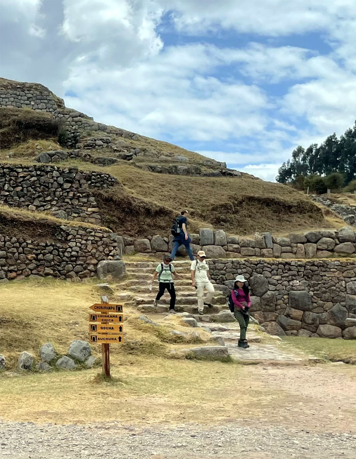
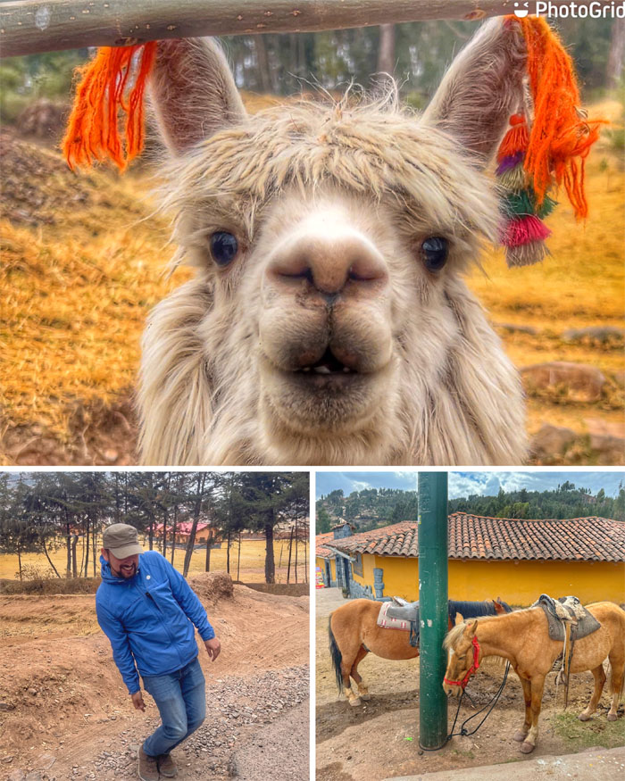
Walking down the road where we saw an alpaca, horses and a fish man.
Producing our tickets to visit one of the largest huacas (holy places) in the area.
Jose explaining the religious significance of the area that was carved out of the natural rock formations and was destroyed by the conquering Spaniards.
Descending down into the symbolic underground chambers representing the afterlife and where mummifications of Inca nobility were done.
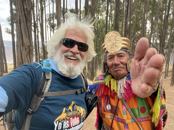
Leaving the archaeological site where we soon passed a forest of eucalyptus trees.
Let’s take a picture. Not free. No hablas espanol.
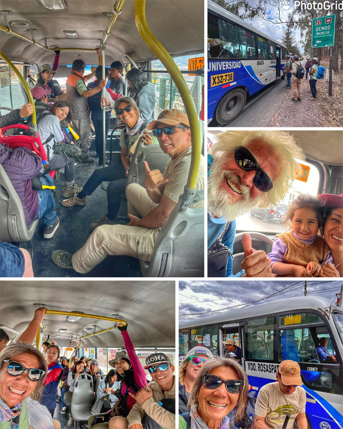
Jose flagged down a local bus that took us back to the city. Christmas came early for a certain kid on the bus.
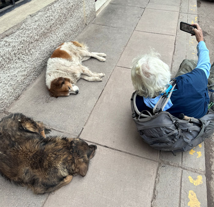
Let sleeping dogs lie. The literal interpretation.
Walking back to our hotel where a VW bus passed on the street. The people’s car are quite popular here due to their durability and affordability.
Jose’s wife and child met us at the hotel upon our return.
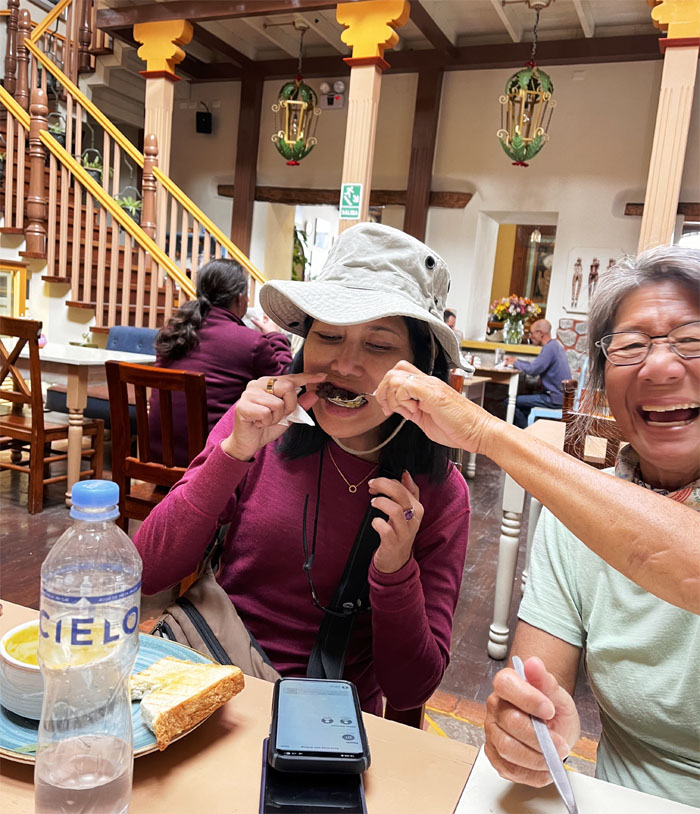
Somebody was breaking their dietary restrictions with a little help from her friends.
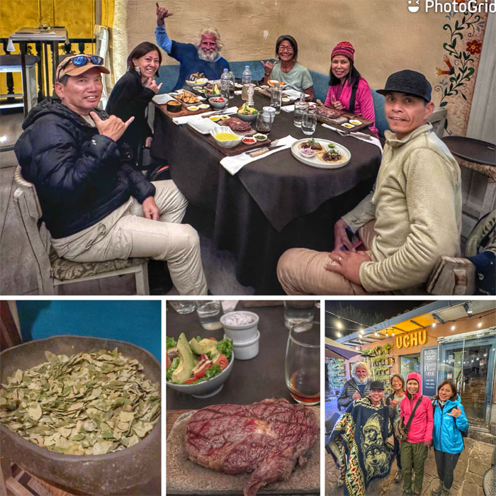
We concluded the day at the nearby steakhouse that slipped us in without reservations through magic. Sizzling steaks on stone platters. Have to come back for the tomahawk cut.
Photos taken by Aida Gordon, Chico Cantu, Deborah Tom, Mari Saito, Matt Vidaurri, and yours truly. Not necessarily in order.
Note: I have been made aware that some hikers have been using my blog as a hiking guide and getting lost on the trails. Please note that this blog was made to document the hike for the crew(s) that did it. That is why some of my comments will seem to have no relevance or meaning to anybody outside of the crew(s) that hiked that trail. My blog was never meant as a hiking guide, so please do not treat it as such. If you find inspiration and entertainment from these hikes, that is more than enough. If you plan on replicating these hikes, do so in the knowledge that you should do your own research accordingly as trail conditions, access, legalities and so forth are constantly in flux. What was current today is most likely yesterdays news. Please be prepared to accept any risks and responsibilities on your own as you should know your own limitations, experience and abilities before you even set foot on a trail, as even the “simplest” or “easiest” of trails can present potential pitfalls for even the most “experienced” hikers. One should also always let somebody know of your hiking plans in case something doesn’t go as planned, better safe than sorry.





{ 2 comments… read them below or add one }
You could have been José ‘s side kick tour guide! Your blog explains a lot of stuff I missed…too busy taking pictures lol. Fun memories here! Can’t wait for part 2!
Aloha Aida,
Thanks but I don’t hablas espanol. lol.
Mahalo