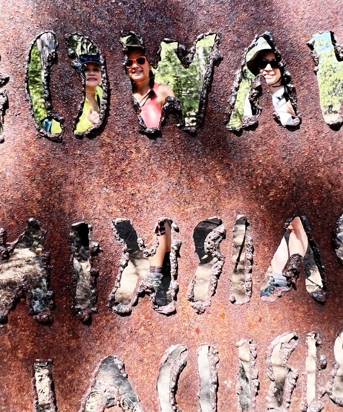
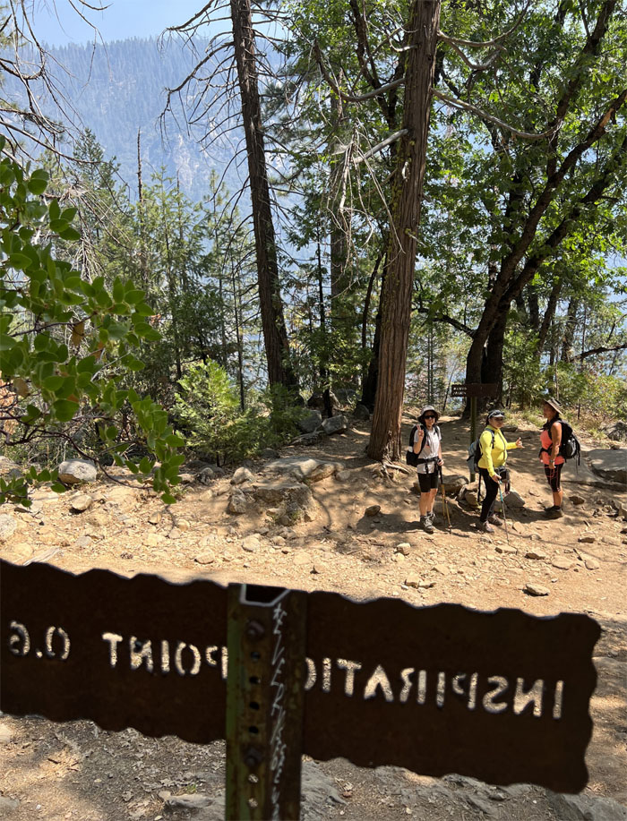
We felt the need to get inspired after walking around in the smoke that had blanketed the park yesterday. What better place to get inspired than from a place called Inspiration Point?
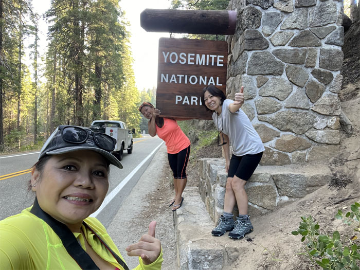
Got parking permits and park maps this time around when we entered the park, not to mention more pictures with the sign.
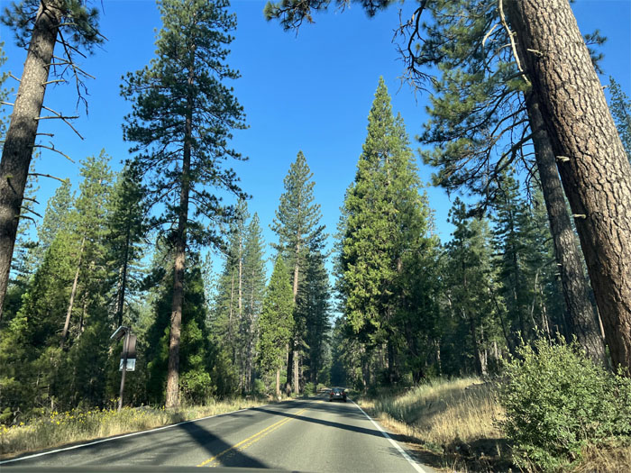
Blue skies ahead. We could actually see the forest for the trees.
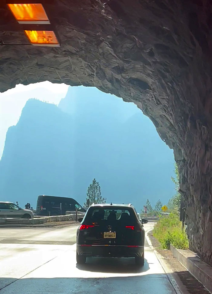
Driving through the nearly mile long tunnel that was blasted out of solid granite back in 1931.
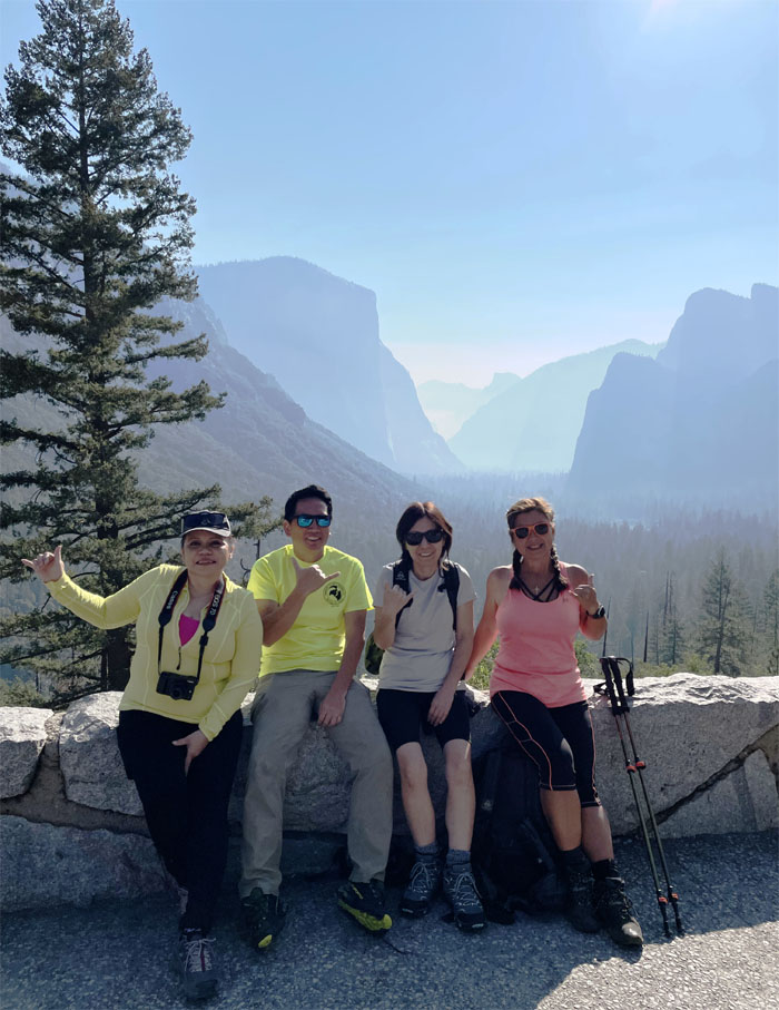
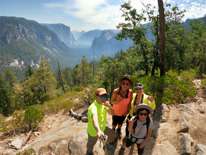
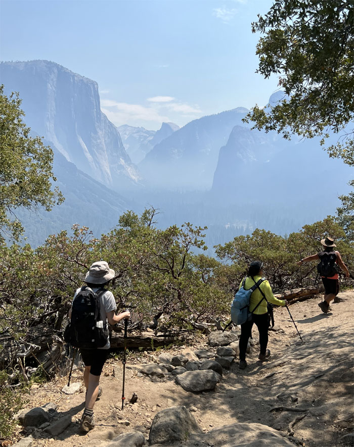
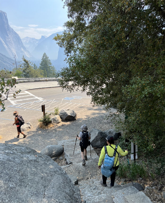
What a difference that a day makes. We actually got to see the classic views of El Capitan, Half Dome, Sentinel Rock and Cathedral Rocks.
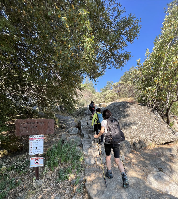
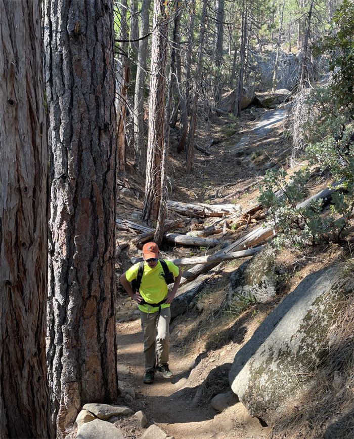
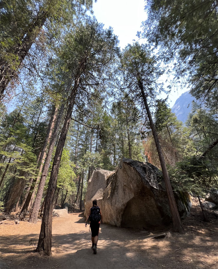
Going up the trail and away from Yosemite Valley.
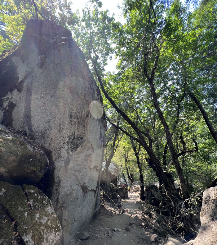
Anybody see a lens cap? That’s what happens when you go off-trail and bushwhack for a bit.
What big calves that you have. Echoes from another hike on another island.
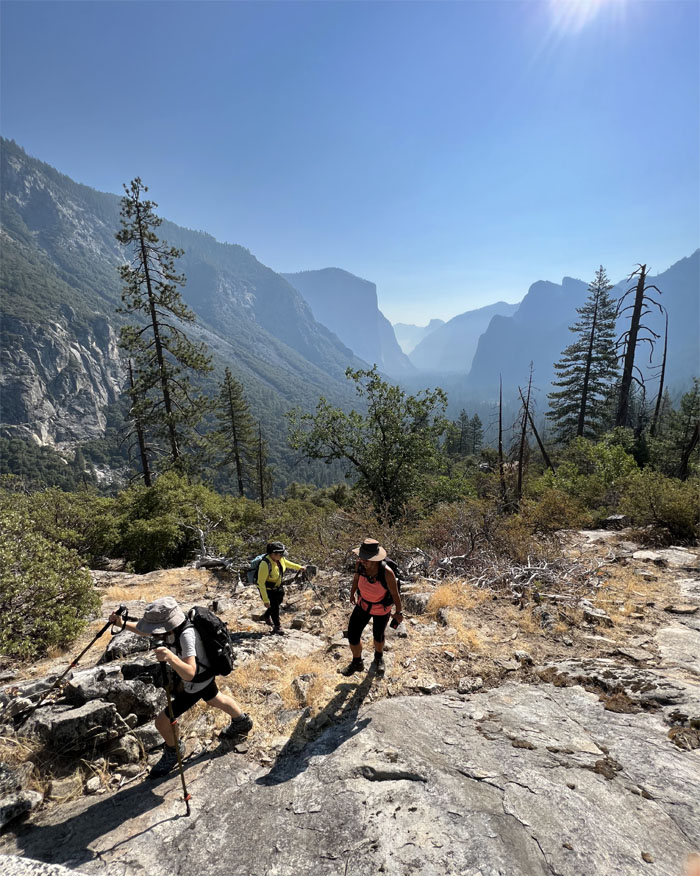
The steepness slacked off with each foot of elevation we gained.
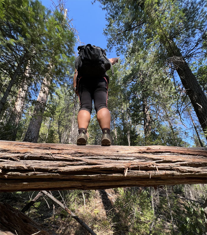
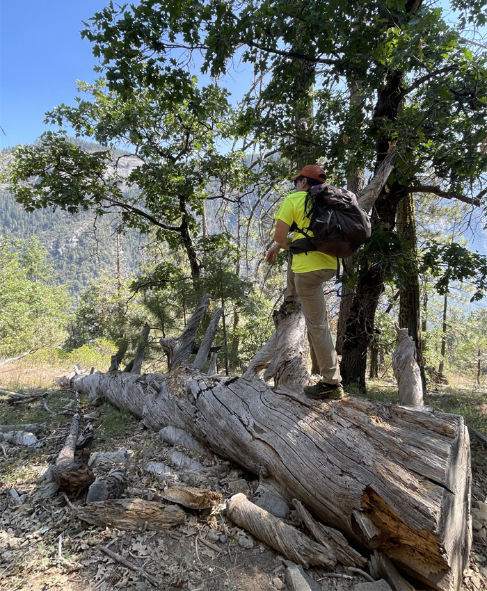
Found my own tree to stand on and ruminate.
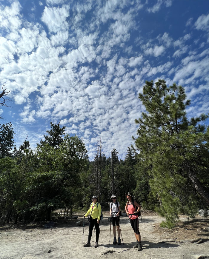
The girls coming down from the obstructed granite shelf to the clearing with a commanding view of the valley.
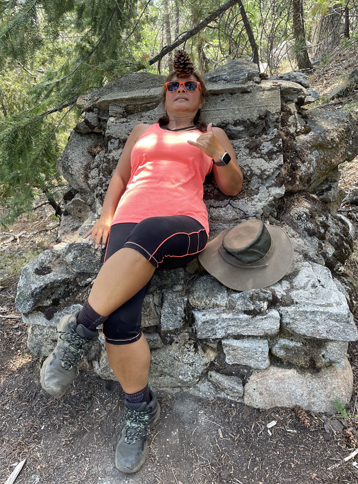
Are we inspired yet? Can I get a hallelujah? Can I get a shaka?
Somebody was inspired enough to balance a pine cone on her forehead.
Passing the junction point where the trail that used to be the old stagecoach road splits off into other parts of Yosemite.
Did you guys see a bear? Does a bear sh*t in the woods? No, we were too busy looking for the missing lens cap.
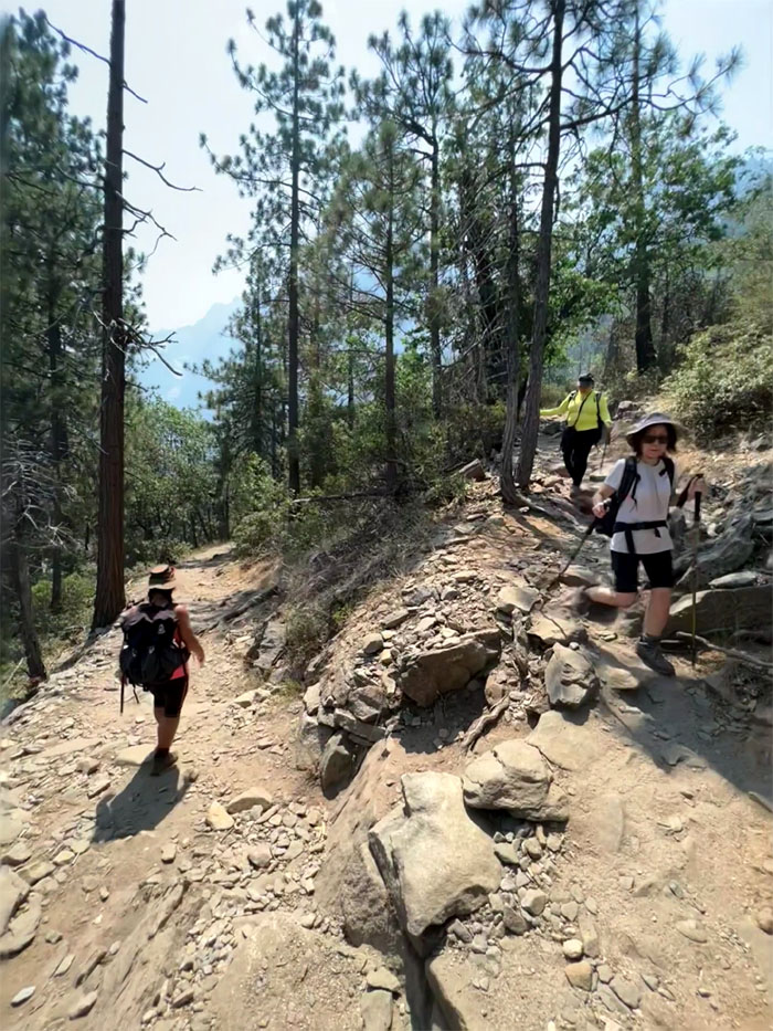
Coming down the switchback trail that we had somehow missed on our way up.
Making our way back down to our Jeep where we finished our 2.42 mile hike and drove to Curry Village to hike to the last remnant of a large glacial lake that once filled most of Yosemite Valley.
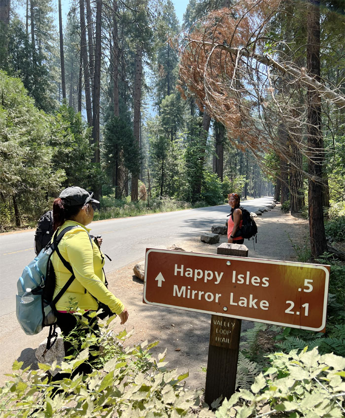
Is it 2.1 miles to the trailhead? To the lake itself? Roundtrip mileage? One of the great mysteries of hiking trails.
Hiking one of the few flat trails in Yosemite.
Passing the “refrigerator rocks.”
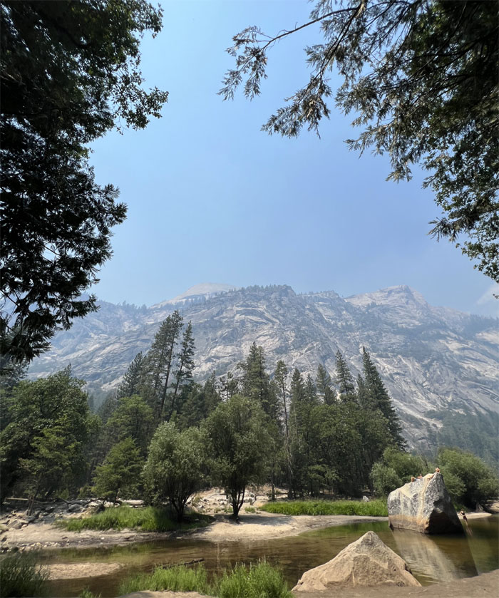
Looking at the lake that is slowly disappearing due to sediment accumulation. Enjoying what’s left of it.
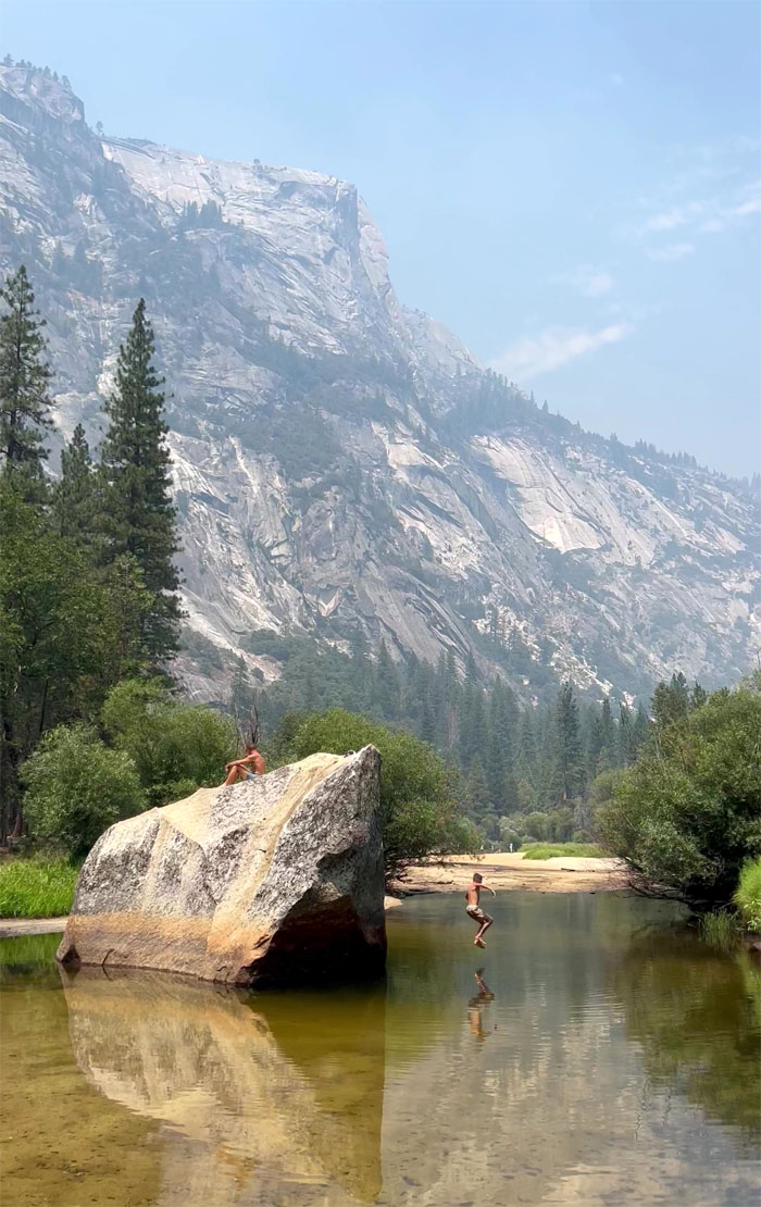
Some kid was beating the summer heat with repeated plunges into the cold water from the tallest rock in the body of water.
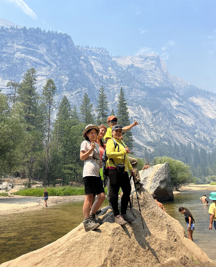
We found our own rock to stand on. No jumping. No judging.
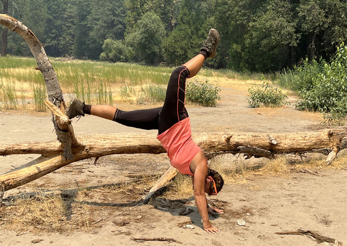
Life imitating art. Or Tik Tok.
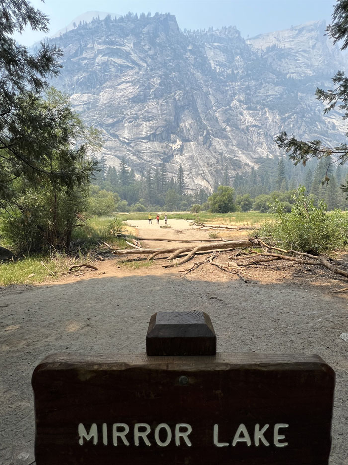
No mirror. No lake. Just sand. Lots of it. Soon it will be called Sand Lot. We decided not to to the loop trail that would have took us around Tenaya Valley and headed back down the trail instead.
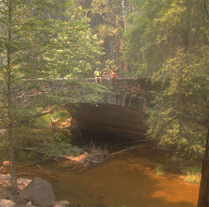
Sitting on the stone bridge at the end of our hike.
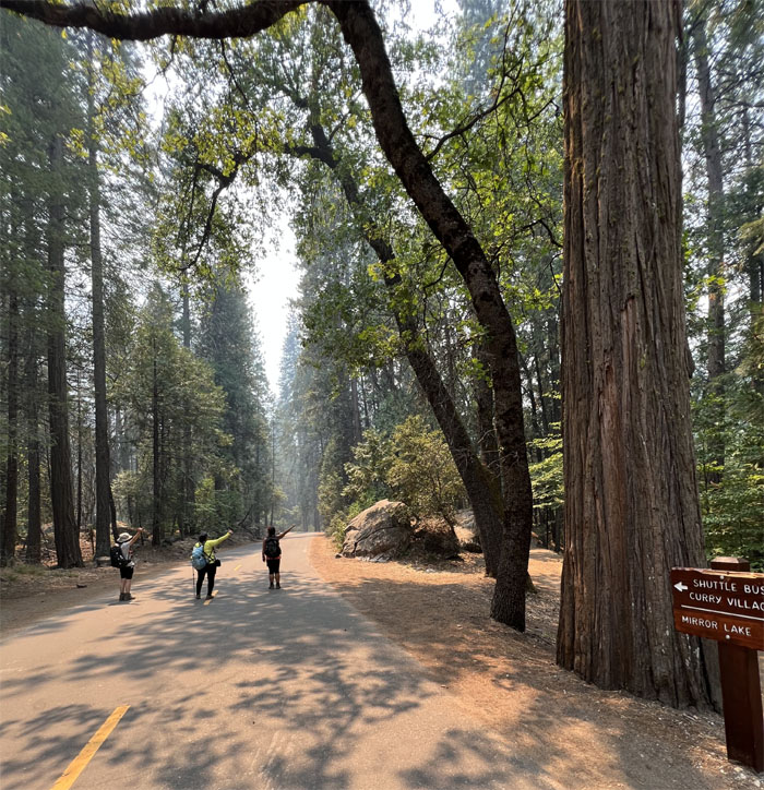
Walking down the road closed to four wheeled traffic, but open to two legged hikers and two wheeled traffic.
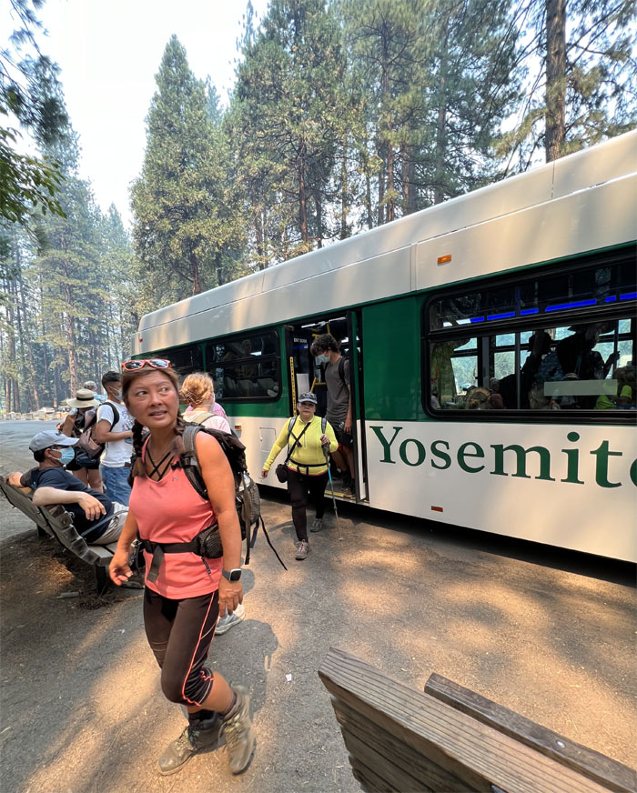
We are done hiking. Let’s catch the shuttle bus back to the village.
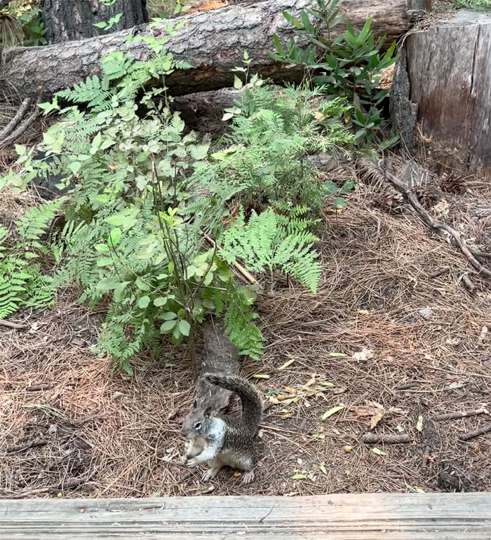
Saying goodbye to one of the resident rodents in the park as we returned back to our Airbnb, where Jasmin cooked us up a pot of delicious Chicken Papaya. Chayote is the new Papaya.
Photos taken by Jasmin Nepomuceno, Mari Saito, Quan Haberstroh and yours truly. Not necessarily in order.
Note: I have been made aware that some hikers have been using my blog as a hiking guide and getting lost on the trails. Please note that this blog was made to document the hike for the crew(s) that did it. That is why some of my comments will seem to have no relevance or meaning to anybody outside of the crew(s) that hiked that trail. My blog was never meant as a hiking guide, so please do not treat it as such. If you find inspiration and entertainment from these hikes, that is more than enough. If you plan on replicating these hikes, do so in the knowledge that you should do your own research accordingly as trail conditions, access, legalities and so forth are constantly in flux. What was current today is most likely yesterdays news. Please be prepared to accept any risks and responsibilities on your own as you should know your own limitations, experience and abilities before you even set foot on a trail, as even the “simplest” or “easiest” of trails can present potential pitfalls for even the most “experienced” hikers. One should also always let somebody know of your hiking plans in case something doesn’t go as planned, better safe than sorry.

{ 0 comments… add one now }