
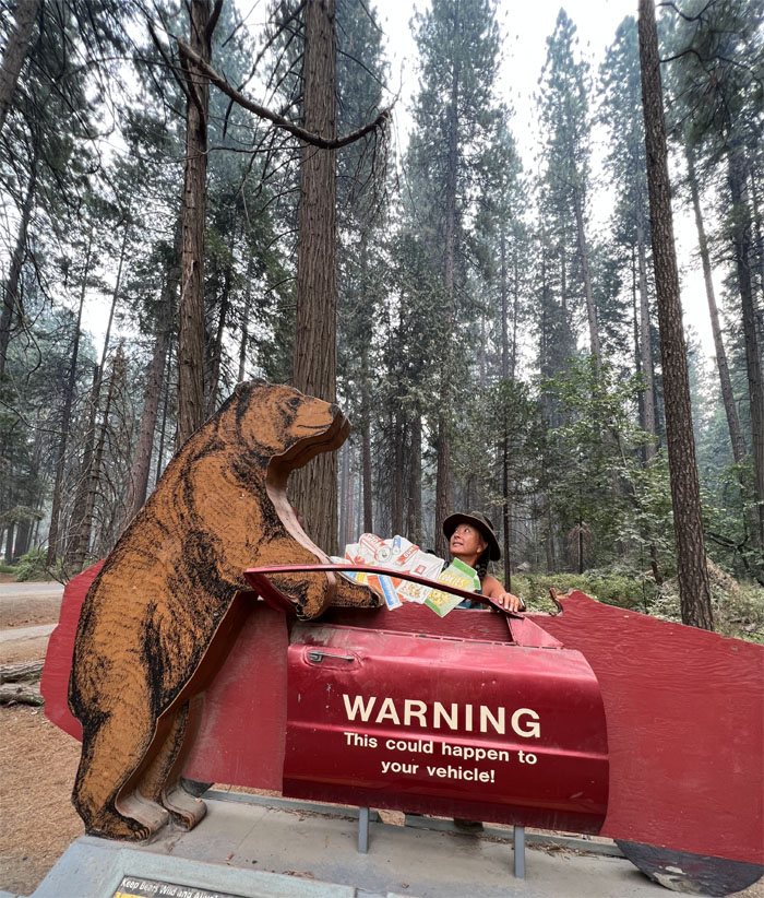
Thanks to Edgar for giving us the idea to hike this trail today. We got our mixed up orders from McDonald’s and made our daily drive into the park. Pays to have a National Park Pass and daily entrance reservations. Otherwise we would be playing ping pong in the garage.
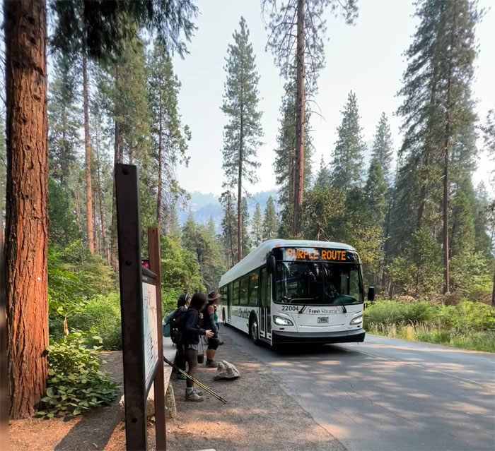
Yosemite Shuttle
Why walk a little, when you can ride a little?
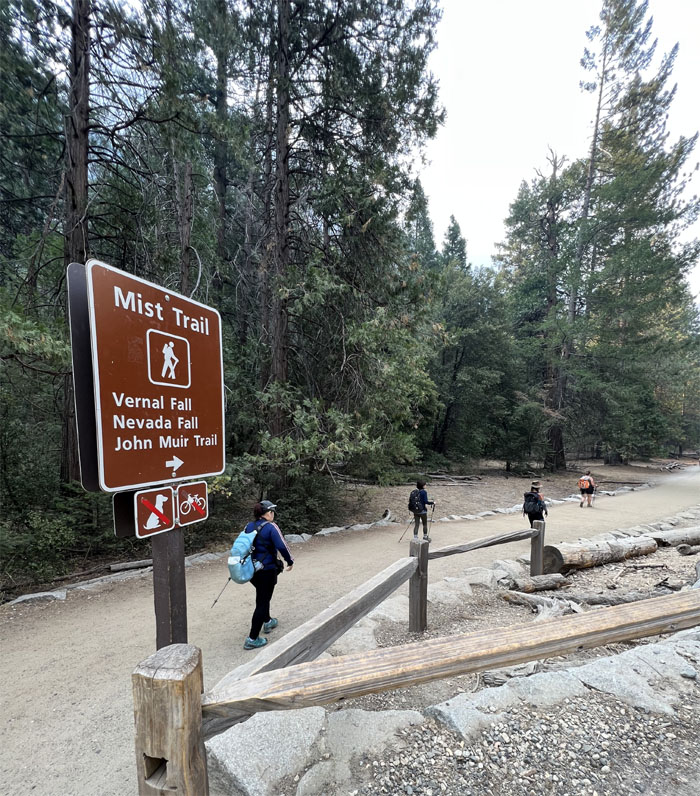
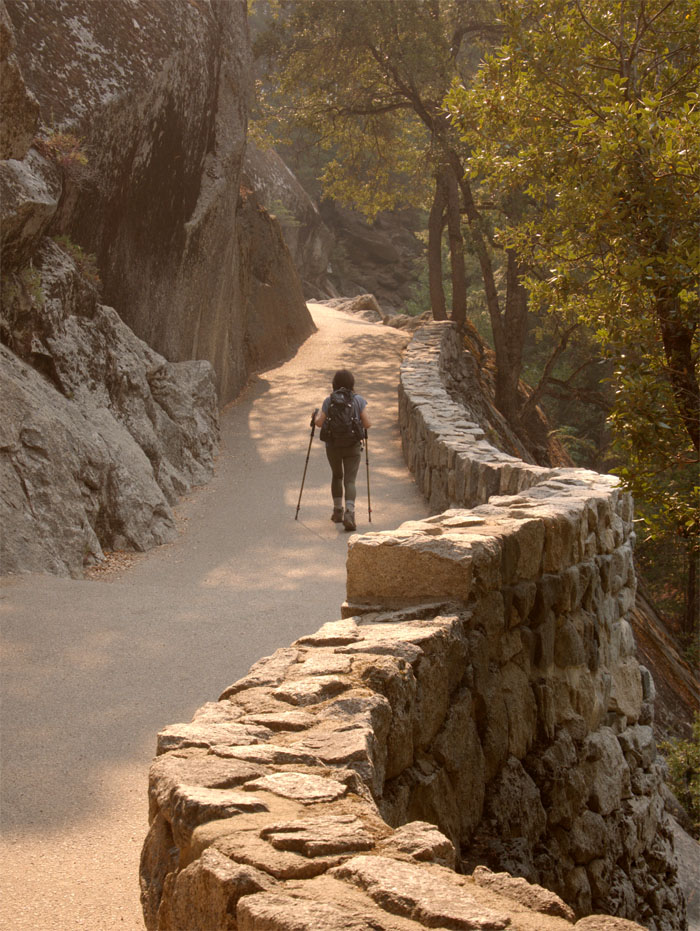
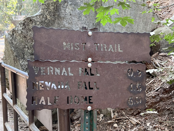
Mist Trail
Starting on one of the most popular trails in the park.
Mist Trail
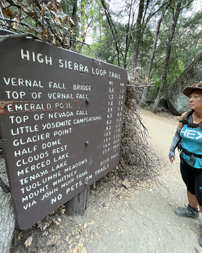
I don’t see Sierra Point anywhere on this list?
Sierra Point Trail
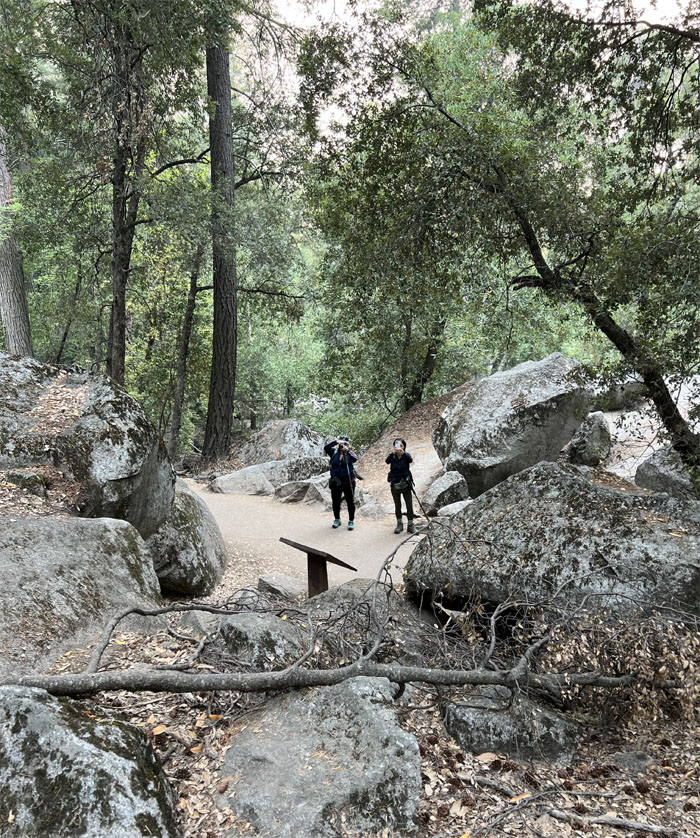
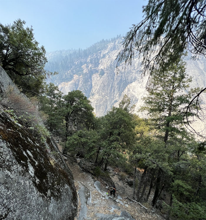
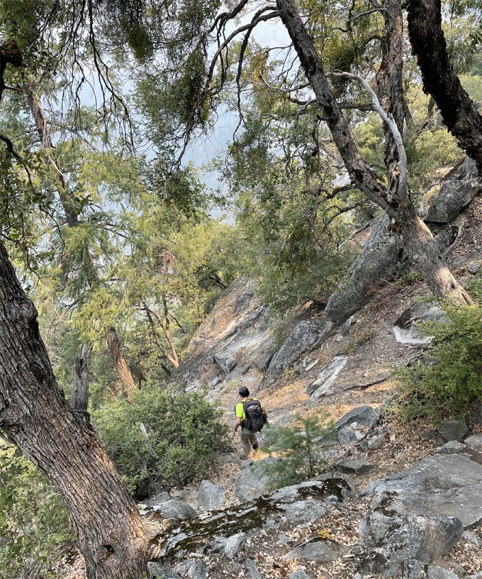
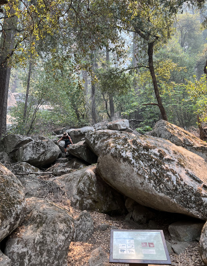
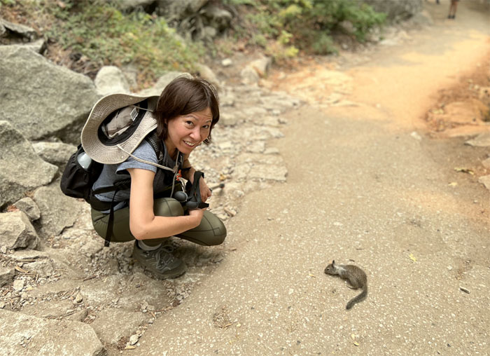
Quan and I separated from Jasmin and Mari at the Rock Piles sign and went off trail. They would continue towards Vernal Fall.
Sierra Point Trail
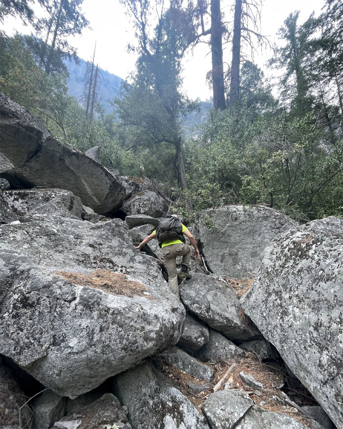
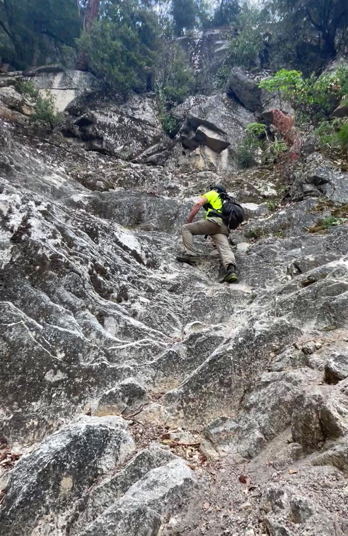
Scrambling up and over the granite boulders.

Sierra Point Trail
A rockslide wiped out parts of the trail back in the 1970s and NPS then removed it from their maps.
Sierra Point Trail
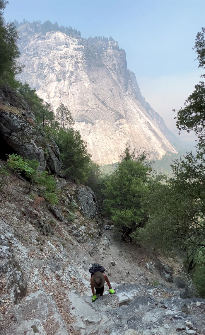
Route finding was for the most part, pretty clear cut. We just followed the path of least resistance and the sporadic cairns scattered throughout the trail.
Sierra Point Trail
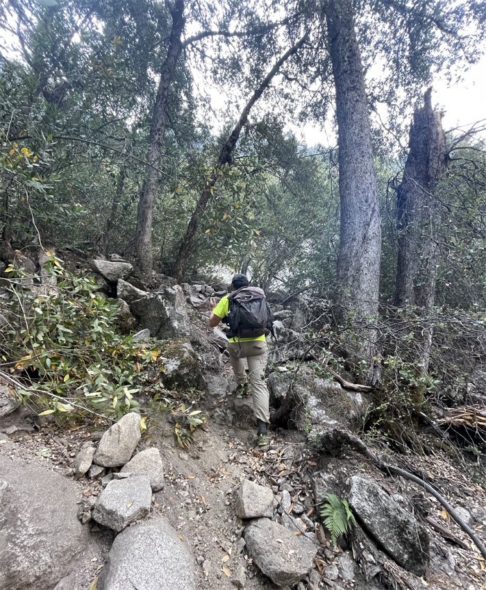
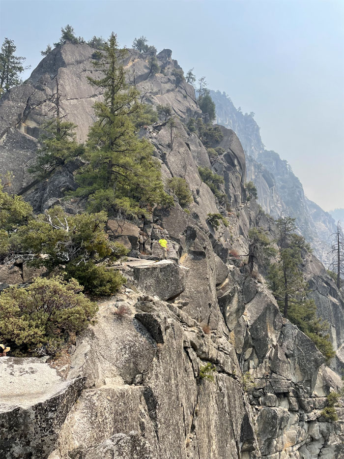
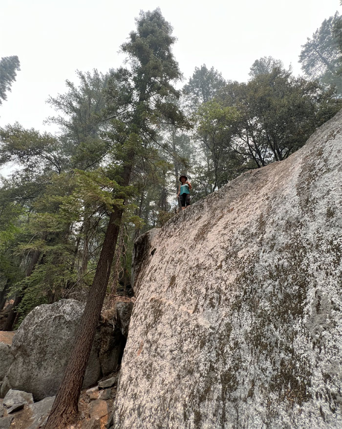
Quan going up the short and steep hill.
Sierra Point Trail
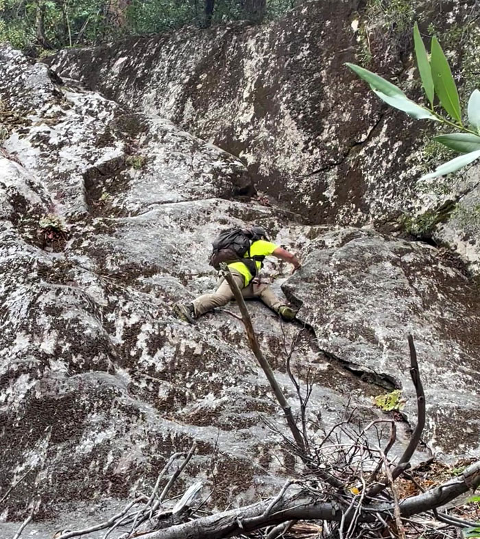
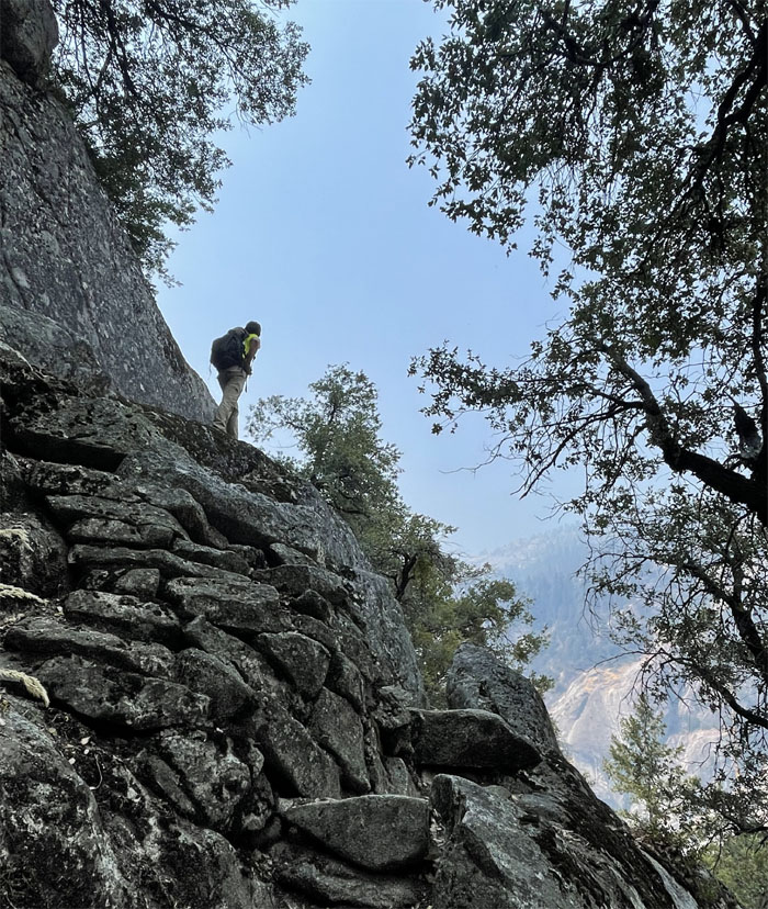
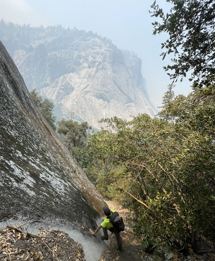
We soon came upon a granite cliff or wall. Is this the obstacle they were talking about? Go climb it, find out and fall back down on my arse. Awkwardly.

Sierra Point Trail
Tackled it from a different approach and was more successful in the climb only to find out that Quan was unable to get up. Back down again. This time in a controlled and more dignified manner. I had enough cuts and scrapes for the day.
Sierra Point Trail
We continued on the trail past some bushes and found the “correct” wall. I read somewhere that there used to be a chain attached to the rocks in the old days.
Sierra Point Trail
Easy peasy.
Sierra Point Trail
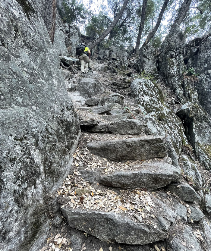
Climbing up the stone steps that was built by the CCC back in the 1930s.
Sierra Point Trail
Quan climbing up the site of the former second chain.
Sierra Point Trail
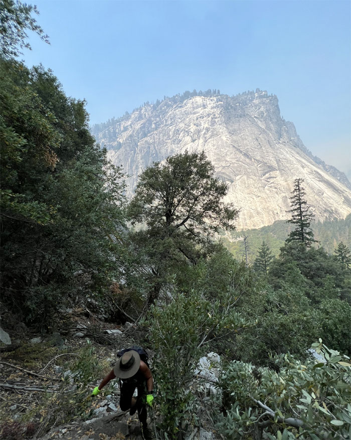
Going up the trail, I thought that a large shadow had passed ahead of me. Not sure if it was wildlife or a figment of my imagination. Overactive imagination perhaps. Time to turn my music on.
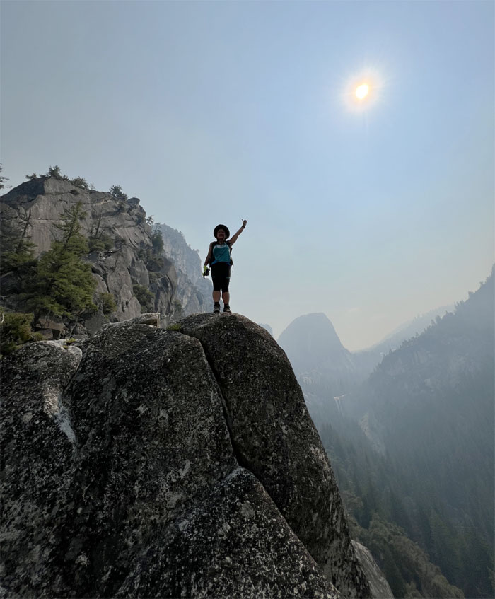
Sierra Point
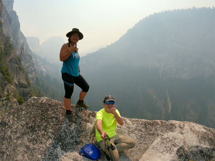
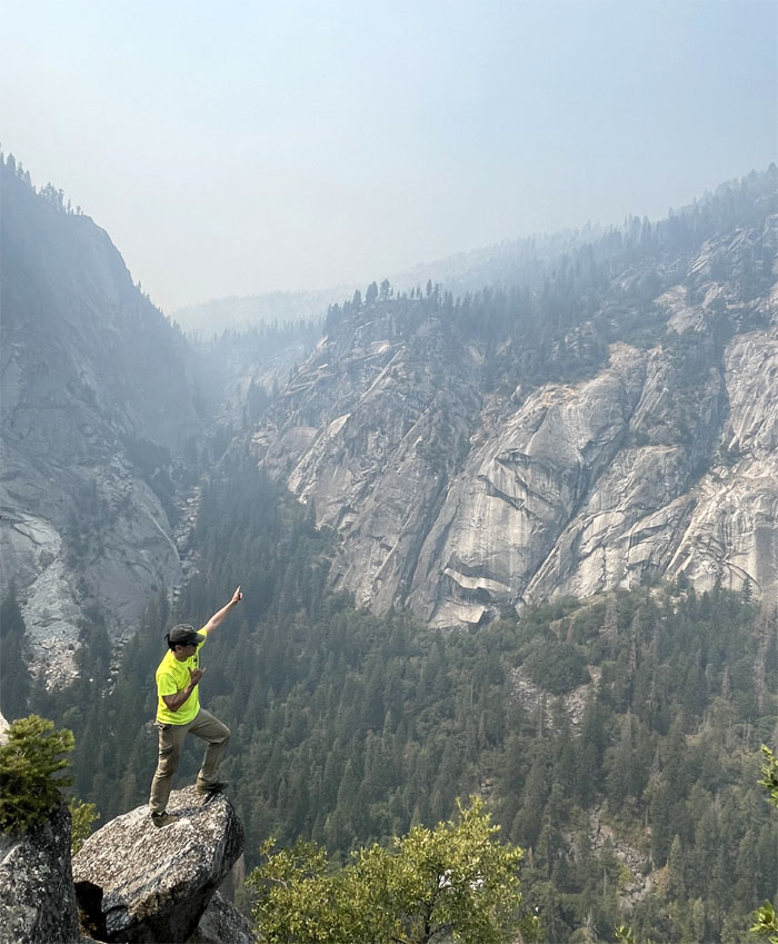
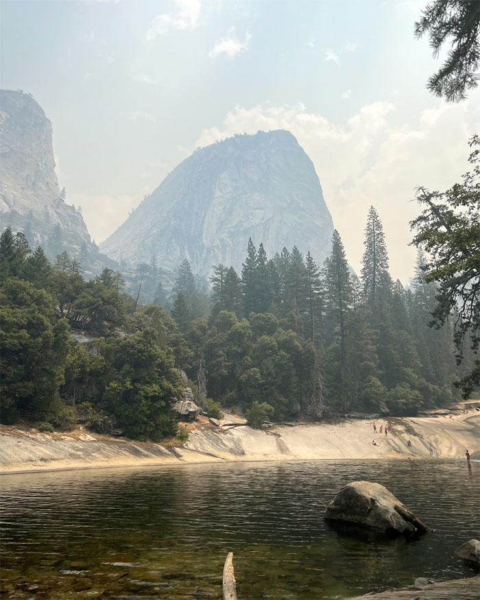
Quan standing on the rocky outcropping that was perched roughly 800′ above the Merced River.
Sierra Point
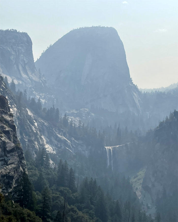
Looking out towards Vernal and Nevada Falls.
Sierra Point
Group photo at the hazy lookout.
Sierra Point
I can see why this was John Muir’s favorite trail as supposedly it is the only point in the valley where one can see Vernal Fall, Nevada Fall, Yosemite Falls, and Illilouette Fall. Although I read somewhere that if you climb Grizzly Peak, the same views can be had.

Sierra Point
Quan standing on the original pipe railing that was not so sturdy at one end. The other end.
Sierra Point
Scrambled up to gain a higher vantage point.

Sierra Point
Looking out towards Illilouette Fall and Gorge from the lookout. The origin and meaning of the waterfall’s name has been lost to time, although the native people reportedly called it Too-lool-lo-we-ak. Two park workers soon joined us at the summit. Looked like they wanted some alone time.
Sierra Point Trail
Going back down the trail where no shadows were seen.

Sierra Point Trail
Quan climbing down the stone steps dusted with fallen leaves and soil.
Sierra Point Trail
Going down the slippery dirt trail as we contoured alongside the smooth granite cliff.
Sierra Point Trail
Coming back down the easier trail. How did we miss this?
Mist Trail
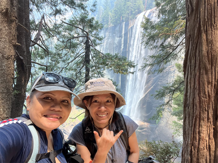
Meanwhile back on the trail, it was uphill all the way for Jasmin and Mari.
Mist Trail
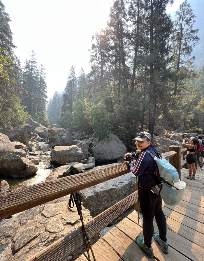
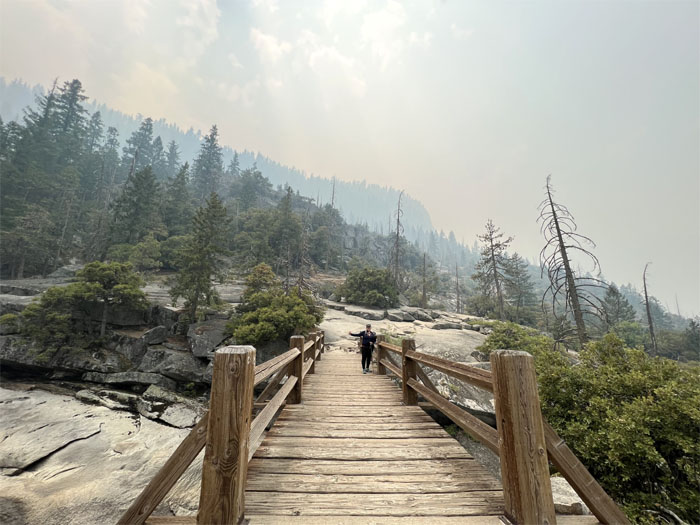
Jasmin at the bridge that is suspended over part of the 145 mile tributary that runs from Sierra Nevada into San Joaquin Valley.
Mist Trail
Is it .3 miles to the base or the top of the fall? Inquiring minds want to know.
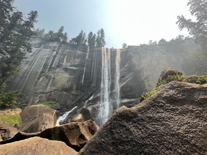
Vernal Fall
The original name of the falls was Yanopah (little cloud) before it was renamed Vernal (spring) by a member of the Mariposa Battalion, the same militia that was formed in 1851 to defeat and displace the native people of the valley.
Vernal Fall
No misting from the waterfall on their group photo, as the spring runoff that contributes to the extra volume of the falls had long subsided.
Vernal Fall
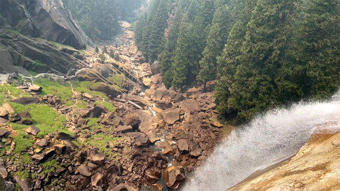
Looking down at the 317′ waterfall plunging into the Merced River.
Emerald Pool
Passing the small, shallow lake which gets its name from the algae at the bottom of the pool.
Merced River Bridge
Time to turn around.
Mist Trail
The best photo of the hike for somebody; nevermind the views of the waterfalls, valleys and mountains.
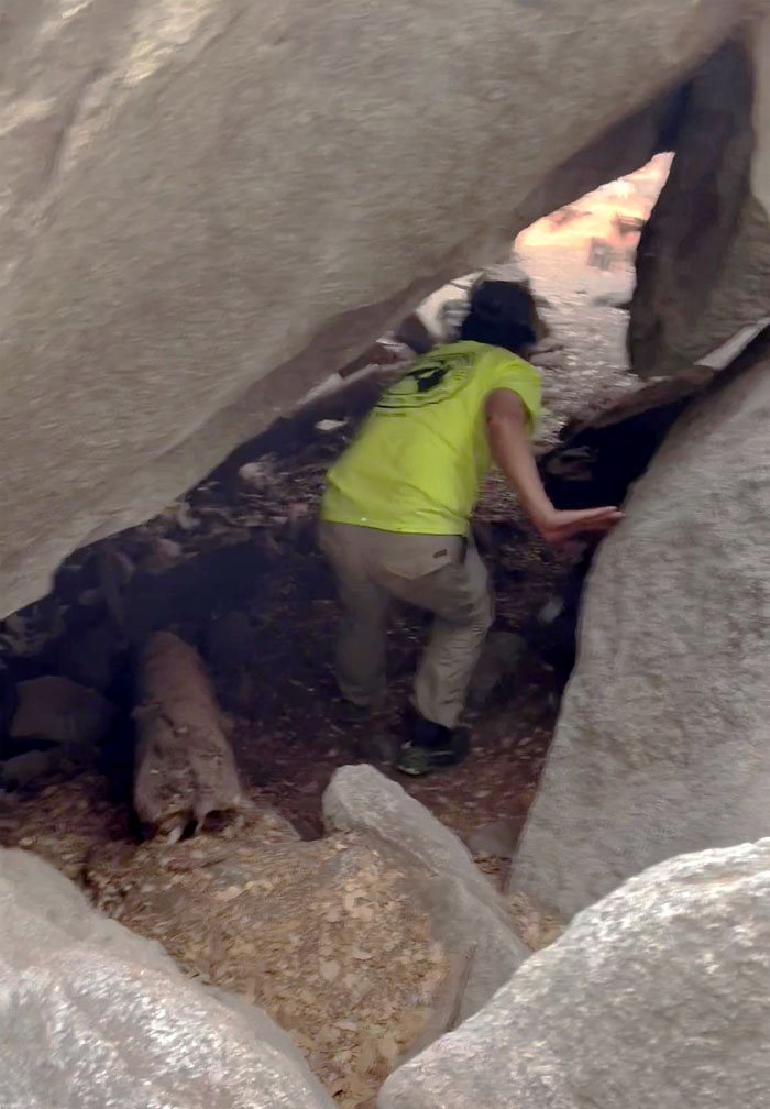
Rock Piles
Killing time by checking out the cave. No hibernating bears. Wrong time of the year.
All pau
Hello from the other side. Jasmin and Mari came back down the trail shortly after and we caught the shuttle back to our car.
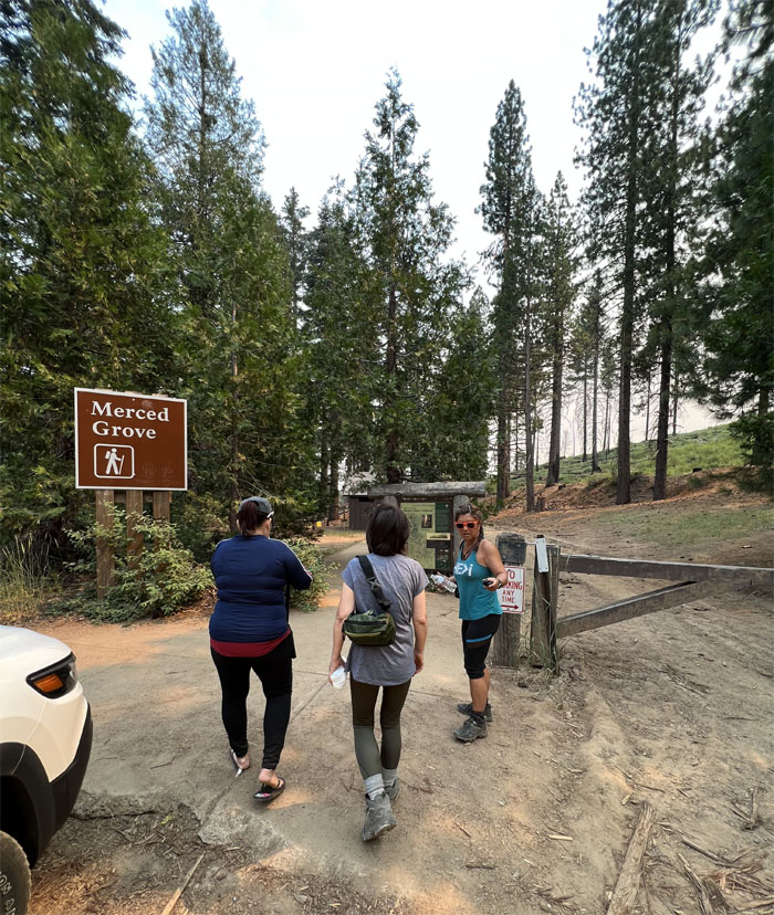
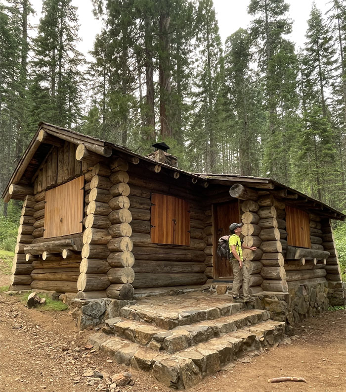
Merced Grove Trail
Drove to the smallest of Yosemite’s three giant sequoia groves since Mariposa was closed due to the still raging forest fires.
Merced Grove Trail
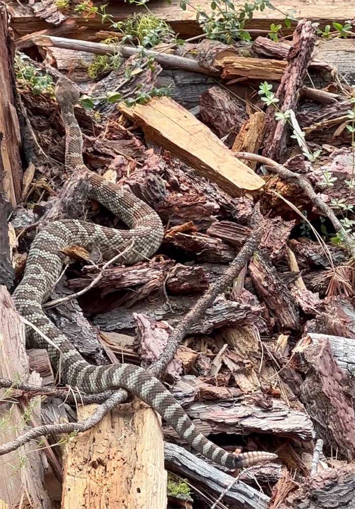
We saw something slithering on the road and realized it was a rattlesnake upon closer inspection. No rattle. No warning.
Merced Grove Trail
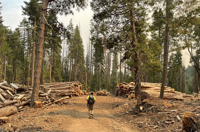
Turning trees into lumber.
Merced Grove Trail
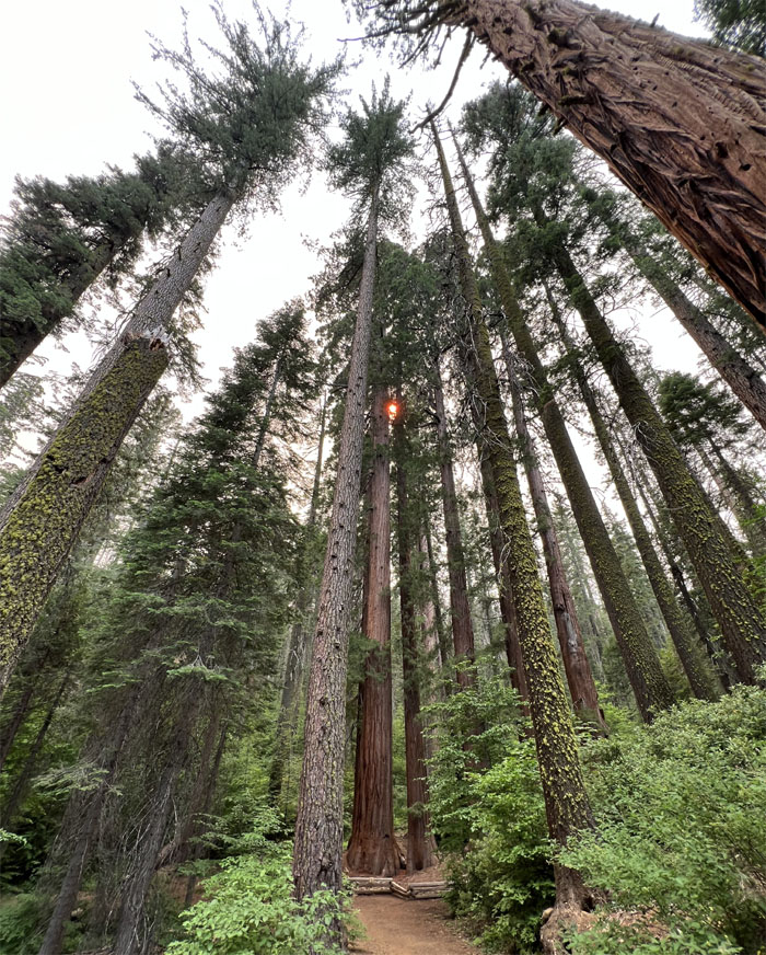
The sun filtering through some of the 20 giant sequoia trees left standing in the Merced Watershed. These are the largest trees in the world and are only found in 81 groves scattered throughout Sierra Nevada.
Merced Grove Trail
Knock, knock. Who’s there? Stopwatch. Stopwatch who? Stopwatcha doin’ and open the stupid door.
Merced Grove Trail
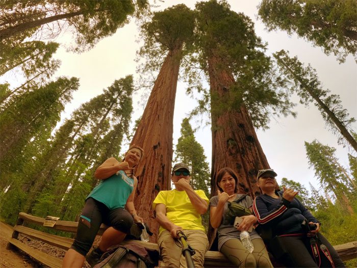
Group photo in front of two of these massive trees soaring into the sky.
Merced Grove Trail
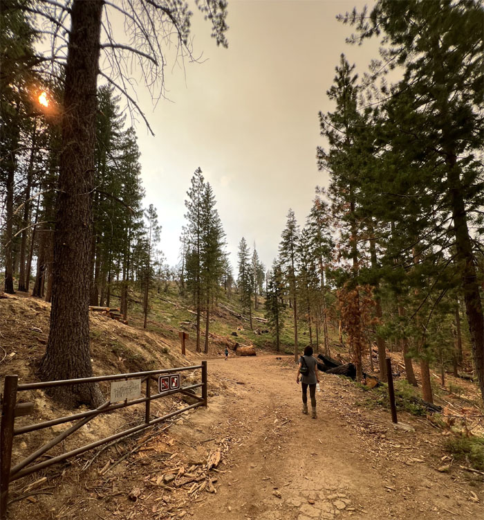
Climbing back up the hill to regain the 600′ of elevation.
All pau
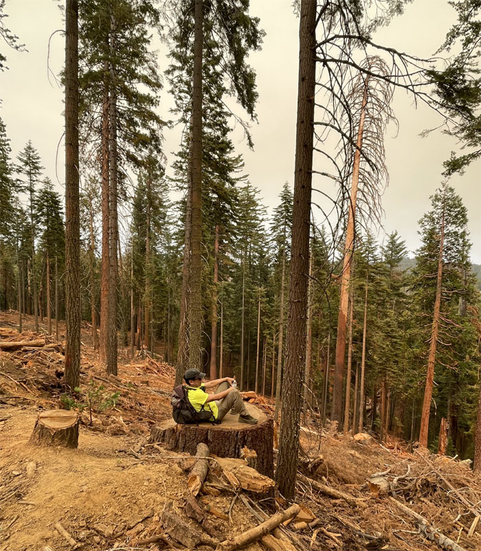
Perched on a tree stump, safe from rattlesnakes. Post hike meal at Oakhurst Grill where the outside bears were friendly and wooden. Best clam chowder, steak and customer service this side of Yosemite. Went back home and applied for the Half Dome lottery. Crossed our fingers and went to bed.
Photos taken by Jasmin Nepomuceno, Mari Saito, Quan Haberstroh and yours truly. Not necessarily in order.
Note: I have been made aware that some hikers have been using my blog as a hiking guide and getting lost on the trails. Please note that this blog was made to document the hike for the crew(s) that did it. That is why some of my comments will seem to have no relevance or meaning to anybody outside of the crew(s) that hiked that trail. My blog was never meant as a hiking guide, so please do not treat it as such. If you find inspiration and entertainment from these hikes, that is more than enough. If you plan on replicating these hikes, do so in the knowledge that you should do your own research accordingly as trail conditions, access, legalities and so forth are constantly in flux. What was current today is most likely yesterdays news. Please be prepared to accept any risks and responsibilities on your own as you should know your own limitations, experience and abilities before you even set foot on a trail, as even the “simplest” or “easiest” of trails can present potential pitfalls for even the most “experienced” hikers. One should also always let somebody know of your hiking plans in case something doesn’t go as planned, better safe than sorry.
{ 0 comments… add one now }