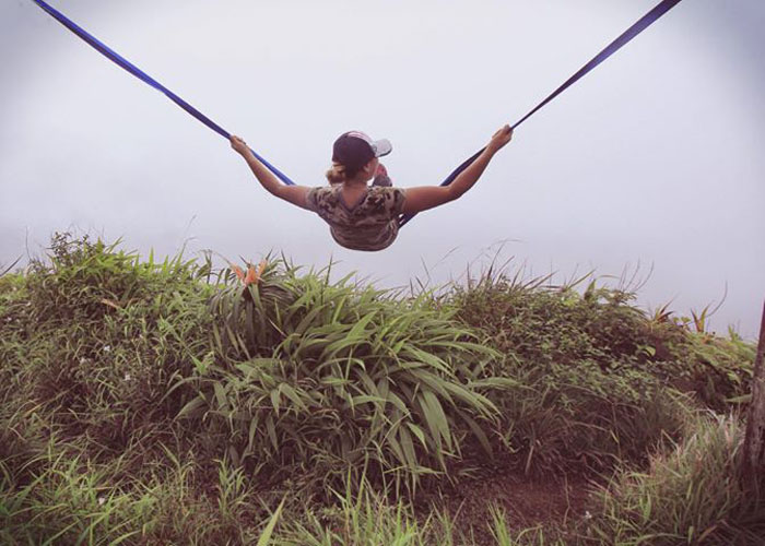
Lacking any direction or motivation for hiking this weekend, I was invited by Daryl to join his group for a loop hike starting in Palolo. Photo by Mark Carinoso.
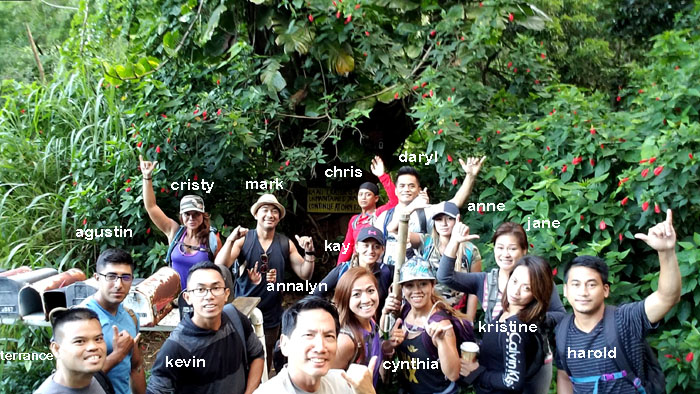
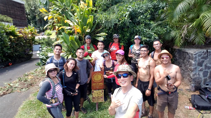
It was a full house in the back of the valley. Outside of organized club hikes, this was the biggest group I have hiked with to date.
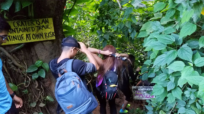
We started down the trail at our own risk. Where do we sign the liability waivers?
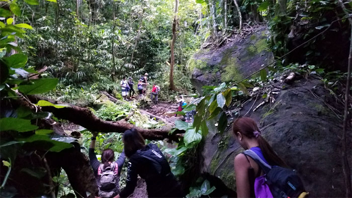
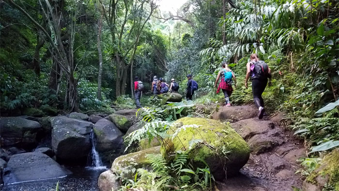
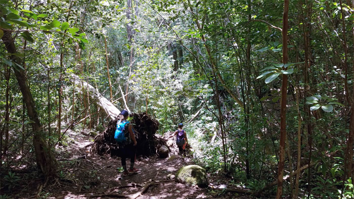
Making our way down through fallen trees and moss slicked boulders.
Rock hopping the stream that feds the lush valley.
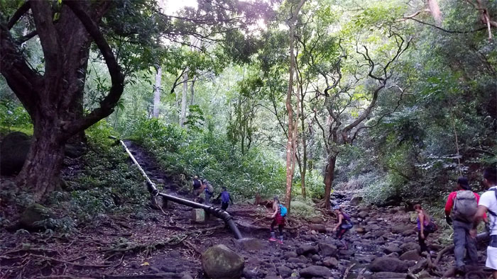
Following the water pipe into the forested valley.
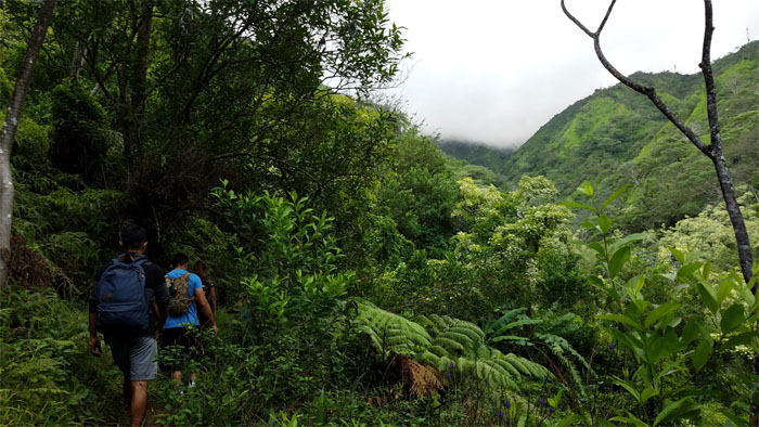
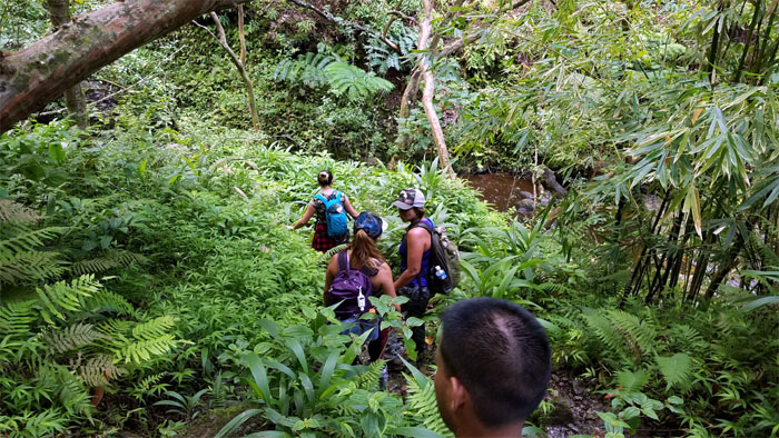
Pushing deeper into the valley with dreams of mountain apples hanging from low hanging branches dancing in my head.
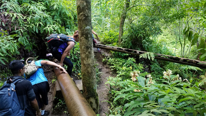
Switching from the new pipe to the old pipe, where somebody in the group had to be administered lite first aid. Hike on.
We dropped down to see the first waterfall after some deliberation at the top.
Group photo with the mosquitoes. Didn’t get their names. But they got ours.
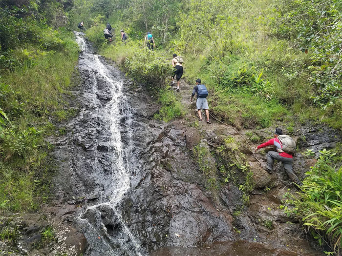
We contoured and climbed up to the left of the first waterfall.
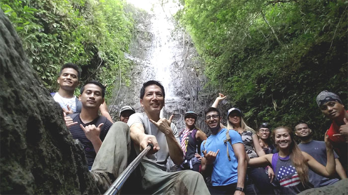
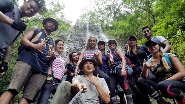
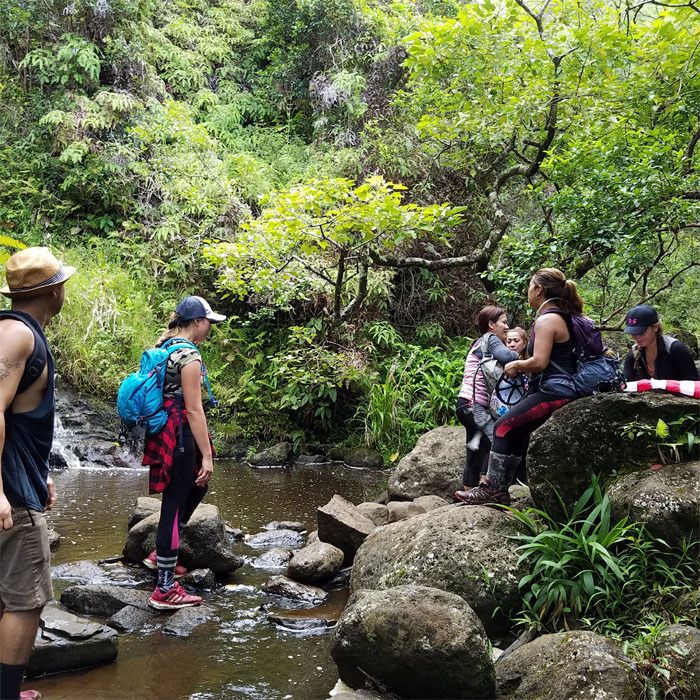
Sitting and standing in front of the second and slightly larger waterfall.
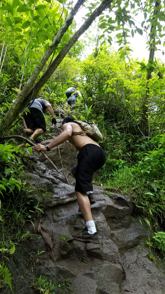
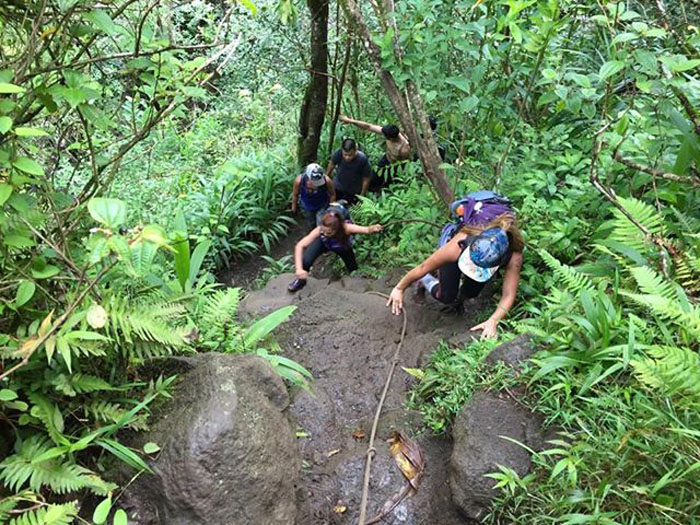
Climbing up the rocky trail to the right of the waterfall. Photo by Cristy CM.
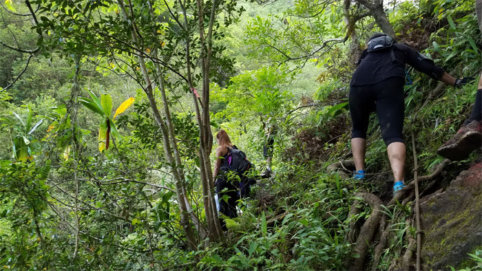
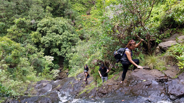
Making our way on the rooted trail that leads to the top.
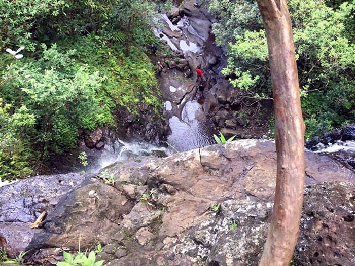
Looking down at some of the group still snapping pictures from the base. We didn’t get too close, as the edge has claimed a couple of victims in the past. Photo by Harold Viloan.
We followed the stream to the base of the last waterfall where preparation for the flag photo shoot was underway.
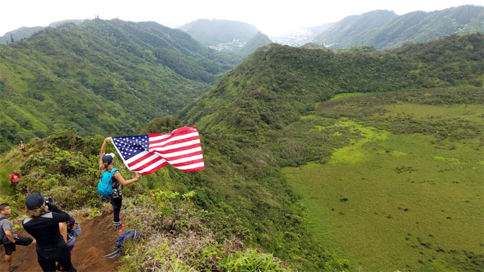
Celebrating Independence Day a little early.
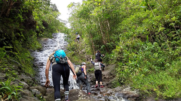
Making our way up the trickling multi-tiered waterfall. Photo by Terrance Manuel.
The group staggering their climb up.
Crossing over to the dry side.
Almost to the top of the waterfall where we would connect to the crater rim. Photo by Harold Viloan.
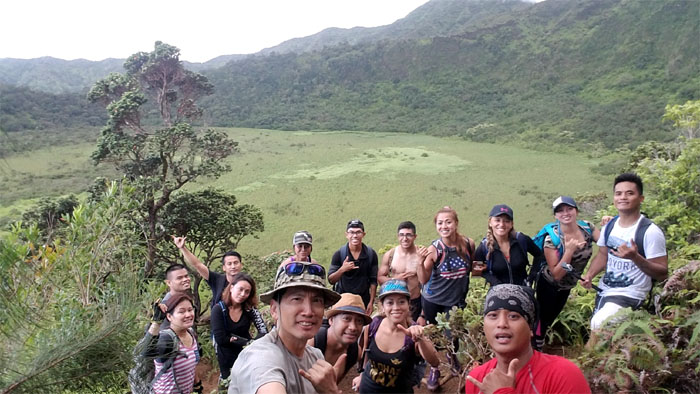
Group photo with the marsh filled reservoir behind us. I cracked open my semi-frozen bottle of Coca-Cola that I had brought along, something I had been longing to do, but always forgetting. Not today. I think I will start doing this on every hike. Refreshing.
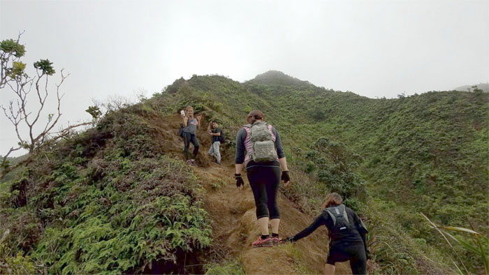
Cardio climb through the fern covered rim.
Waiting for the wind to flutter the flag.
Some chose to take the higher road and others the lower one.
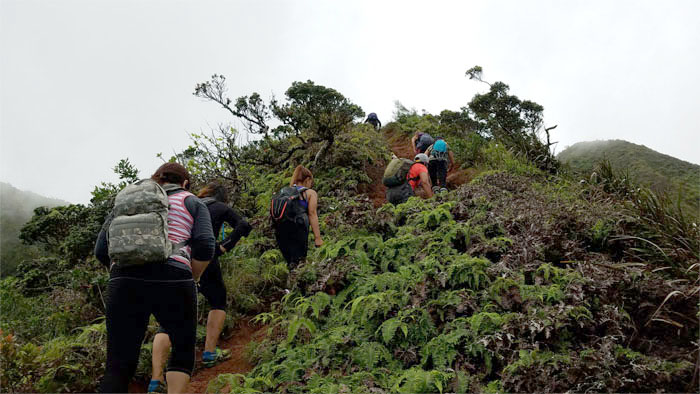
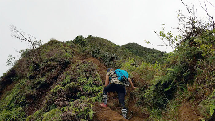
Huffing and puffing our way to the top.
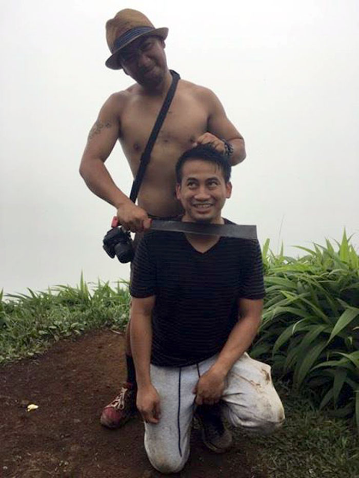
Mark and Harold demonstrating the proper execution of a dry shave in the mountains.
Setting foot on the Ko’olau Mountain Range. Photo by Cristy CM.
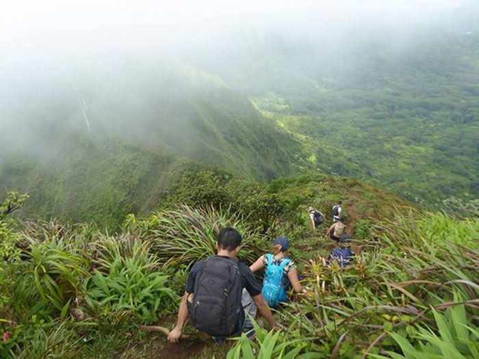
The group coming down the mountain.
Power lines to Power lines.
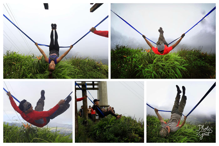
Build it and they will swing it.
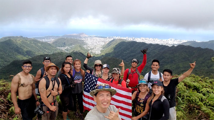
Just missing the fireworks for our group flag photo.
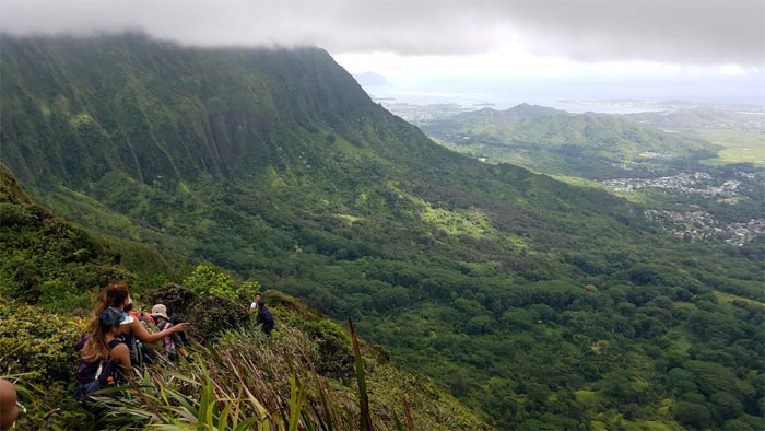
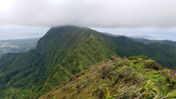
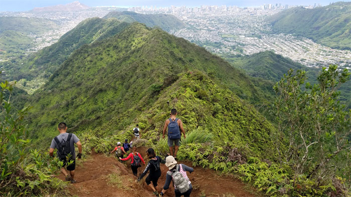
Leaving the crater behind as we enjoyed Windward views on our way down the ridge.
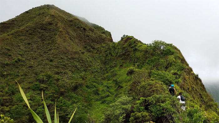
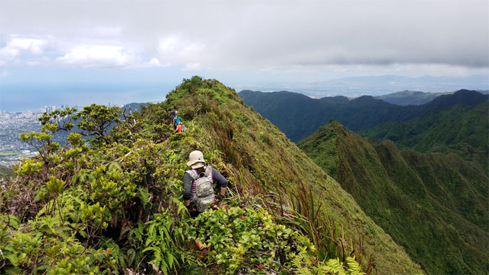
Wading through the overgrowth on the ridge as we approached the notch.
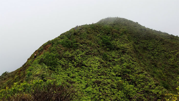
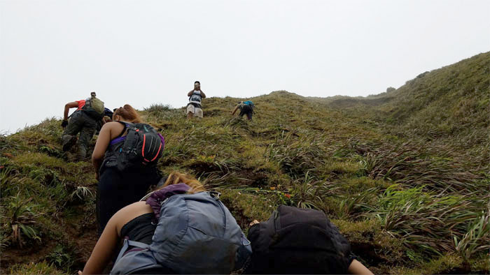
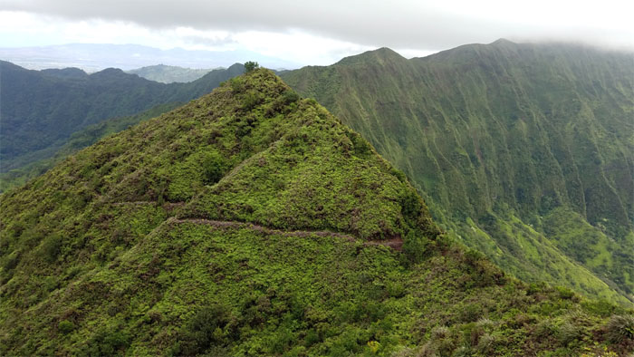
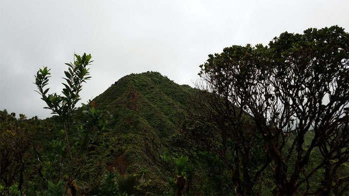
Climbing up the pock marked hill.
Following in the footsteps of others before us. Photo by Daryl Cacatian.
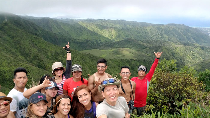
Group photo at the top of Awaawaloa Summit.
Leaving the summit behind us.
It was unusually clear on the ridges, especially in the vicinity of Mount Olympus.
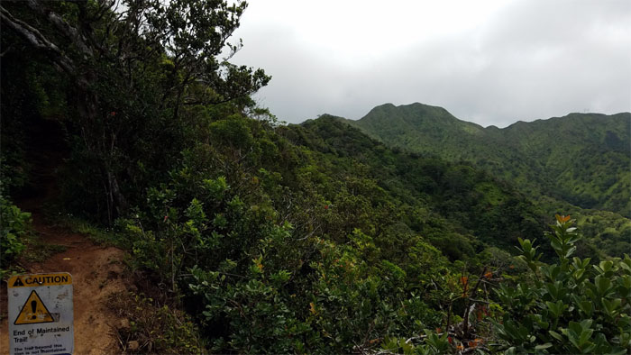
We saw what looked like a fresh cut trail ahead of us that contoured below the KSRT.
Looking back. Still clear. Amazing.
Making our way down the deeply rutted trail. Photo by Cristy CM.
We took a short break and then headed down the trail into Manoa Valley.
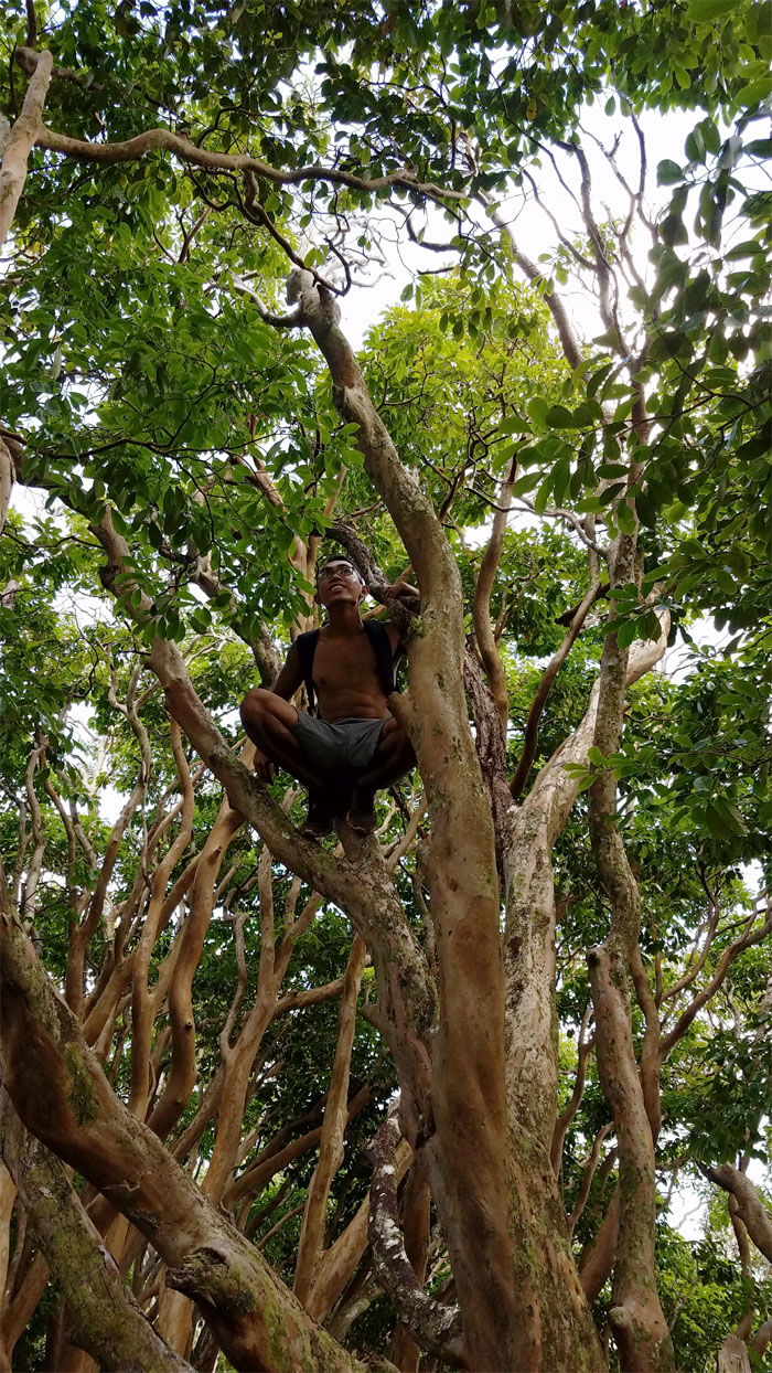
Kevin sitting in a tree … missing somebody … and the nursery rhyme would be complete.
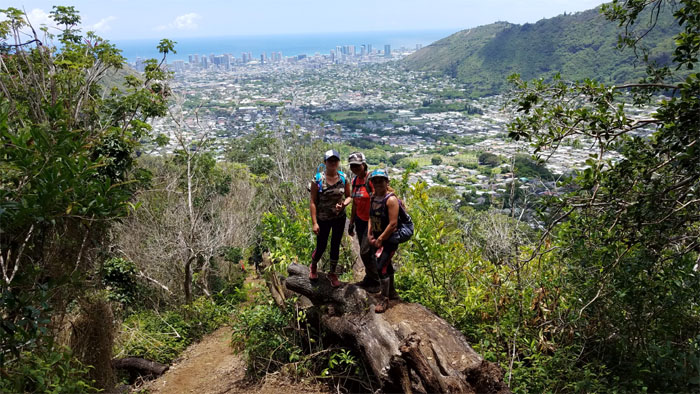
Scenic dead tree spot overlooking Manoa Valley.
Passing another fallen tree in the forest.
We got everybody? Let’s see. 1, 2, 3 … 14. Missing one. Kay couldn’t wait for the rest of the group. Call off the search party.
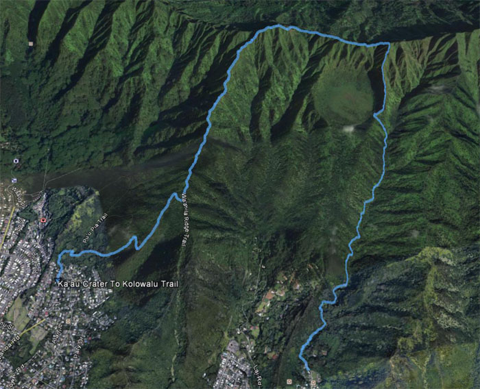
The hike covered 5.27 miles through waterfalls, tuff cone and ridge trails. Fun hike with new and old friends. Post hike meal at Happy Days. Made it in time for the dim sum carts. Make sure you double down on those chicken feet.
Note: I have been made aware the some hikers have been using my blog as a hiking guide and getting lost on the trails. Please note that this blog was made to document the hike for the crew(s) that did it. That is why some of my comments will seem to have no relevance or meaning to anybody outside of the crew(s) that hiked that trail. My blog was never meant as a hiking guide, so please do not treat it as such. If you find inspiration and entertainment from these hikes, that is more than enough. If you plan on replicating these hikes, do so in the knowledge that you should do your own research accordingly as trail conditions, access, legalities and so forth are constantly in flux. What was current today is most likely yesterdays news. Please be prepared to accept any risks and responsibilities on your own as you should know your own limitations, experience and abilities before you even set foot on a trail, as even the “simplest” or “easiest” of trails can present potential pitfalls for even the most “experienced” hikers.





{ 0 comments… add one now }