
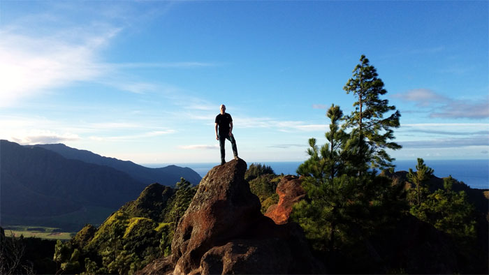
We spent Veteran’s Day Weekend camping and hiking in the Waianae Mountains. Big shout out to Alexis for driving Stuart and myself to the end of the island to start our hike.
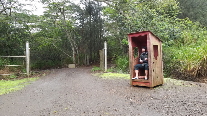
Kaena Point
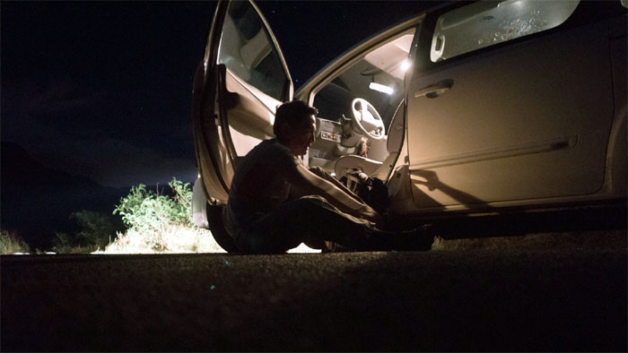
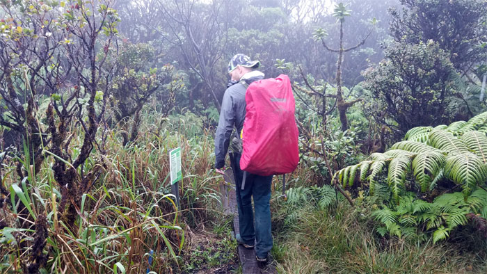
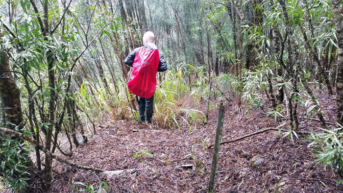
Trying to tie my shoe laces in the wee hours of the morning with makapiapia still in my eyes. Thanks to Alexis for taking my trash back with her. Pack in, pack out. Photo by Stuart Krempin.
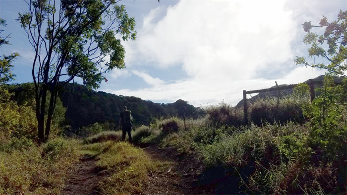
Kaena Point
We followed the railroad track remnants along the coastline to the base of the ridge.
Kaena Point
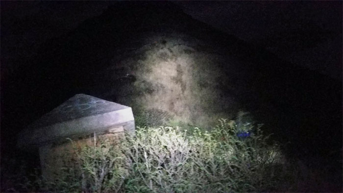
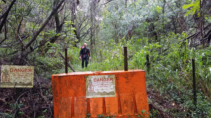
Passing the second WW2 bunker on our way up the darkened ridge.
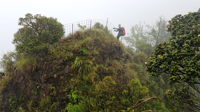
Kaena Point
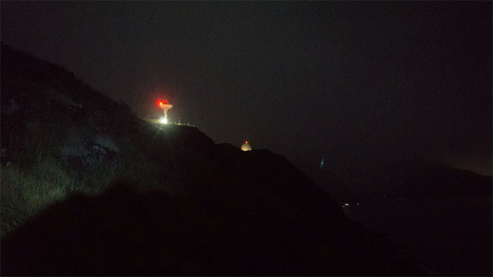
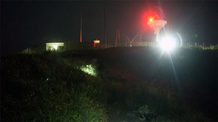
Somebody left the lights on. Photo by Stuart Krempin.
Kaena Point Satellite Tracking Station
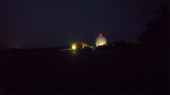
This place has been around since statehood. Photo by Stuart Krempin.
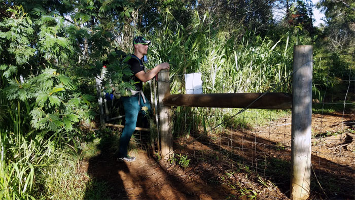
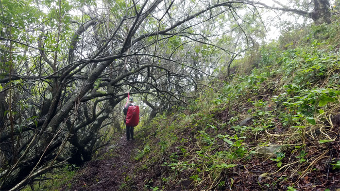
Kuaokala Trail
We crossed paths with gun toting hunters and their pig sniffing dogs on the trail.
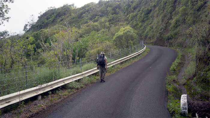
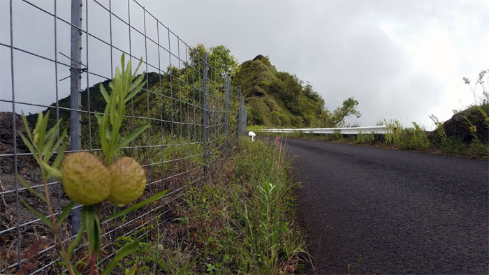
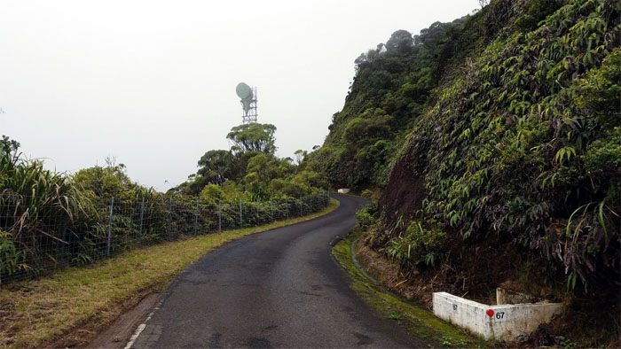
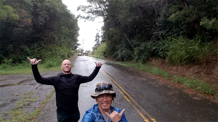
Kaena Point
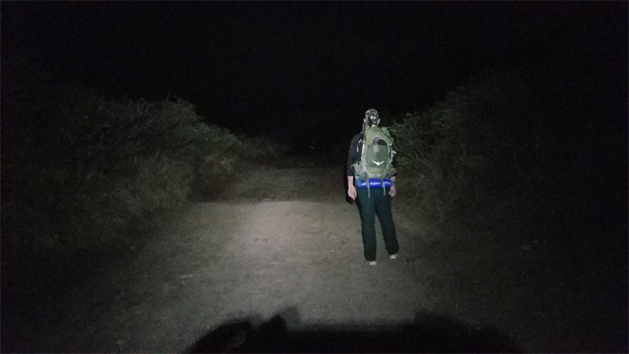
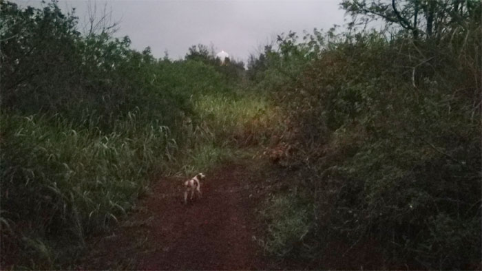
Back on the road again. Photo by Stuart Krempin.
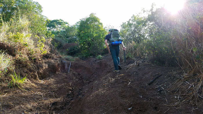
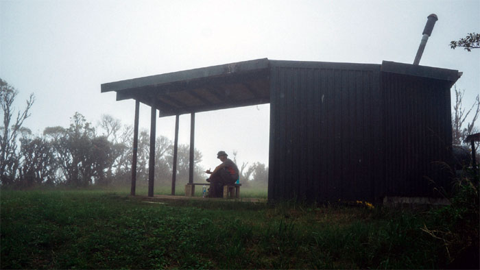
Kuaokala Trail
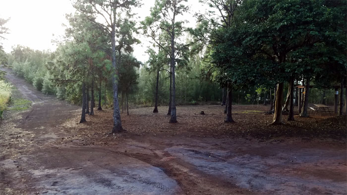
We had a quick breakfast at the picnic shelter before setting foot back on the trail.
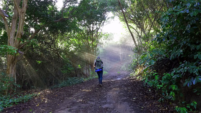
Kuaokala Trail
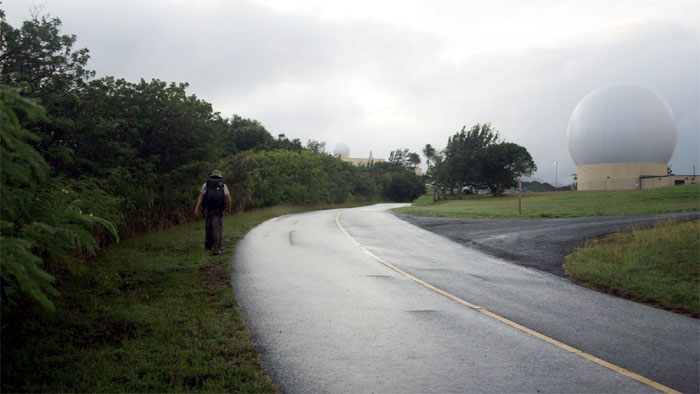
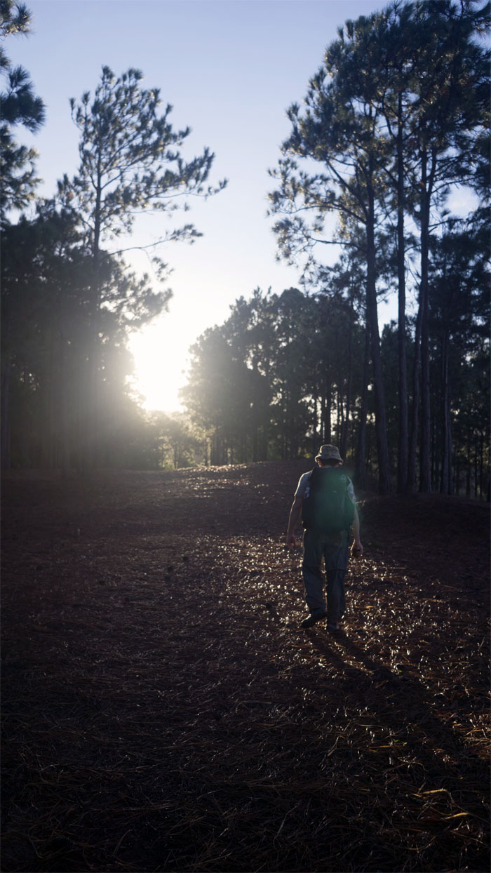
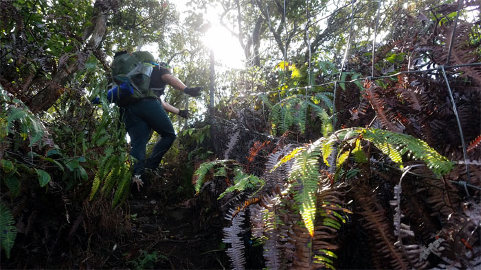
Sunlight breaking over the trail. Photo by Stuart Krempin.
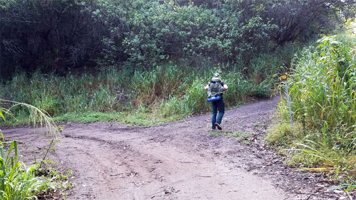
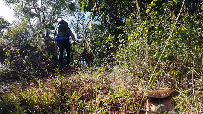
Kuaokala Trail
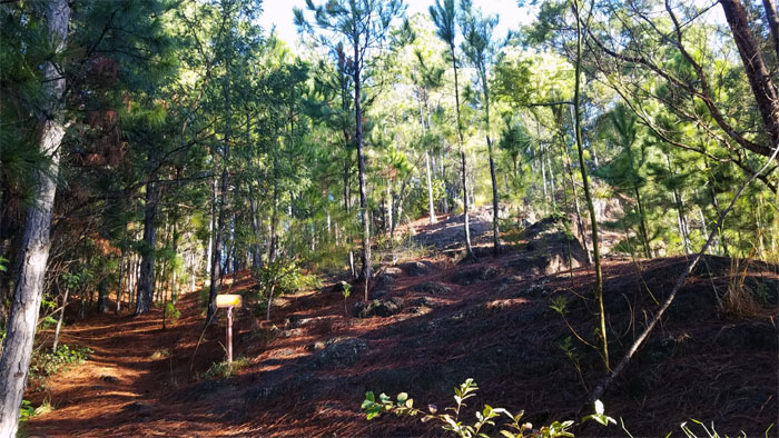
Following the signed junction as we made our way up the slight, rocky incline.
Kuaokala Trail
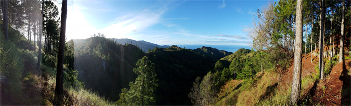
Drinking in our early morning views. Better than a cup of coffee to get you jump started.
Kuaokala Trail
Stuart standing on picture rock.
Kuaokala Trail
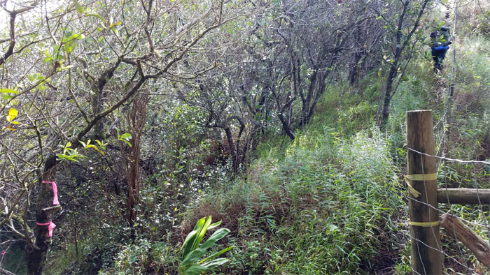
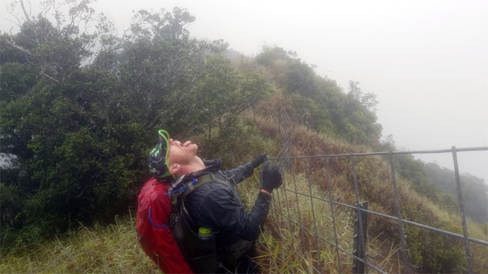
Following the fence line down.
Kuaokala Trail
Stuart passing through the sun beams on the trail.
Kuaokala Trail
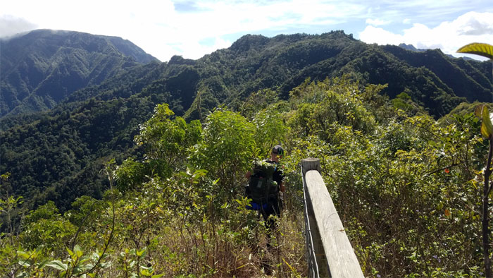
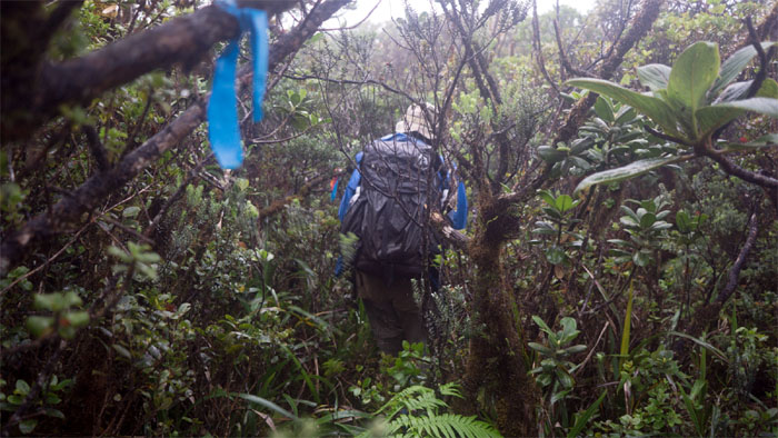
Veering off the beaten trail to gain higher ground.
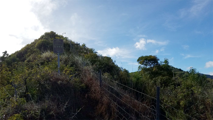
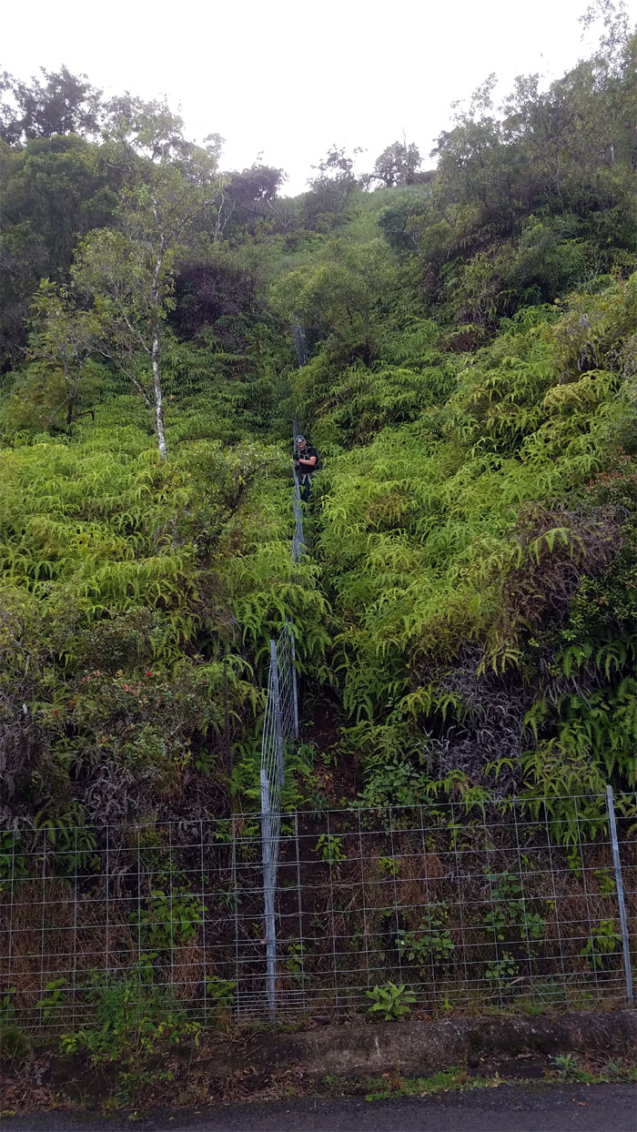
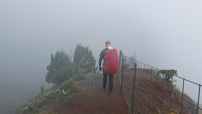
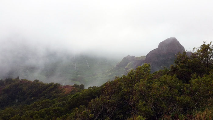
Waianae Summit Trail (WST)
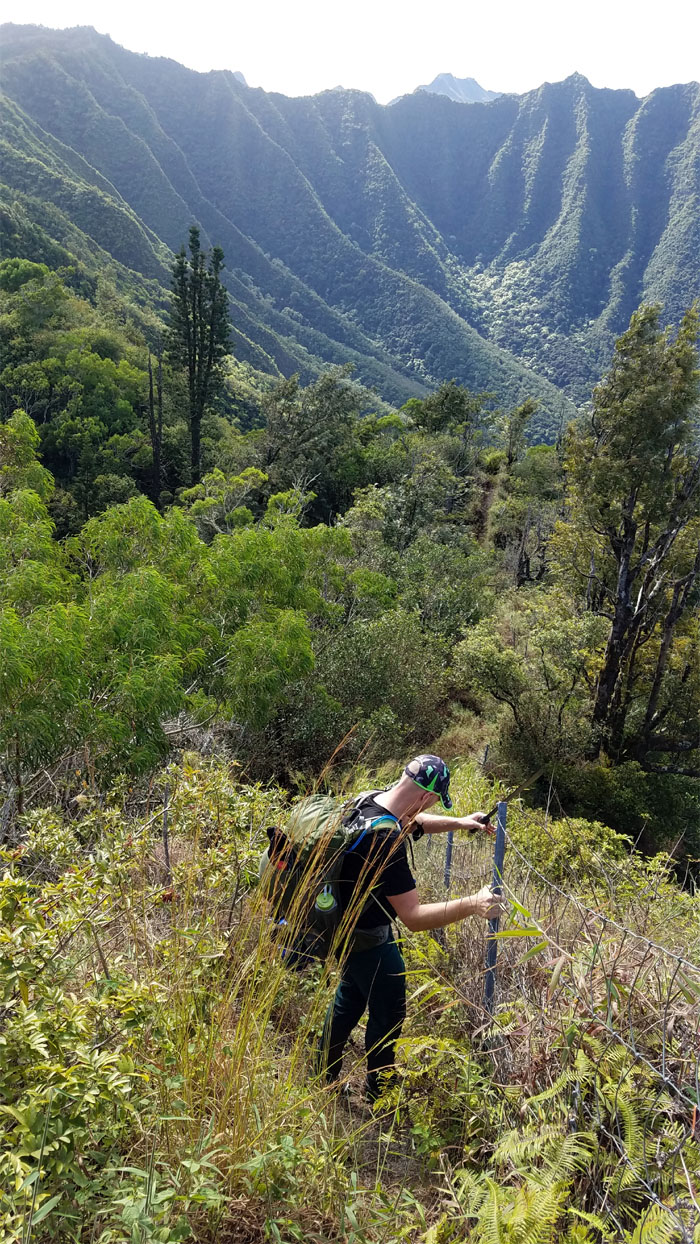
Contact with the ubiquitous fence line that increasingly dominates both mountain ranges.
WST
Taking temporary leave of the fence line as we followed a thick half buried communications cable.
Moku
Passing the geodic marker as we turned right on the trail.
Pahole Reserve
Entering the protected habitat of rare endemic fauna and flora.
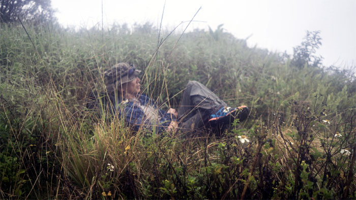
WST
Treading carefully with exaggerated facial expressions.
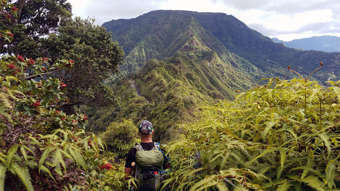
WST
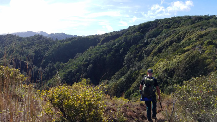
Soaking in the raw character of the Waianae Mountains.
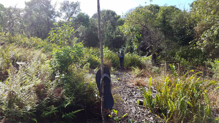
Slippah Tree
The Waianae Mountain’s answer to the KST Boot Junction.
WST
Stuart following the fence line down amidst the backdrop of fluted ridges cascading down into Makua Valley.
WST
Passing the Mokuleia trail junction.
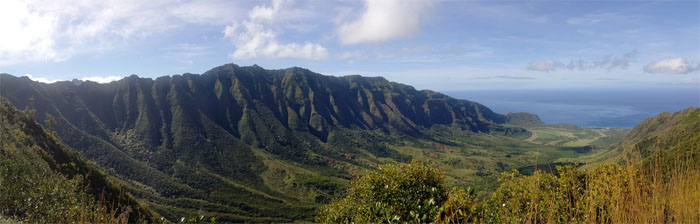
WST
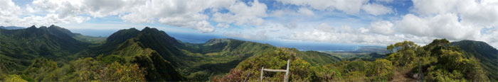
Panoramic view from the Mokuleia lookout. Photo by Stuart Krempin.
Rat Country
Stuart doing his part to keep the rodent population in check. Pesticide free.
WST
Pulling ourselves up the steep incline one fence hold at a time.
WST
The overcast cloud conditions kept the notorious Waianae heat dialed down.
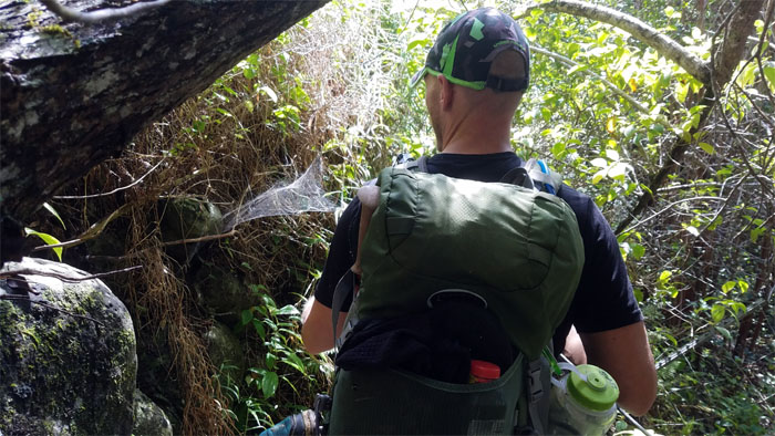
WST
Dropping down to the lowland forest with an abundance of sprawling spider webs.
WST
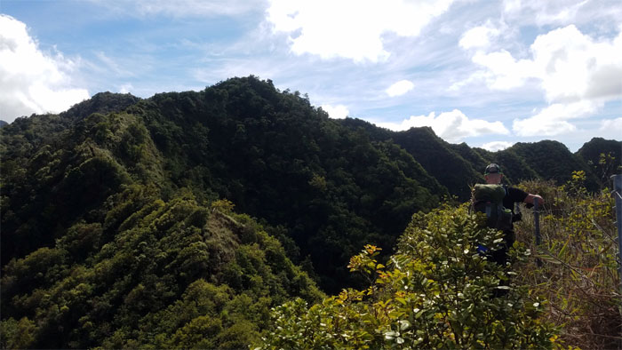
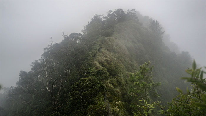
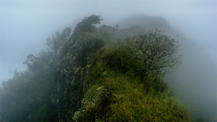
Looking ahead to Three Corners. Almost there. Just a couple more ups and downs.
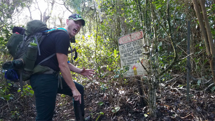
WST
Looking into the bomb blistered valley. Photo by Stuart Krempin.
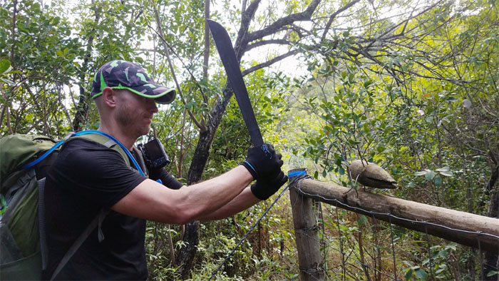
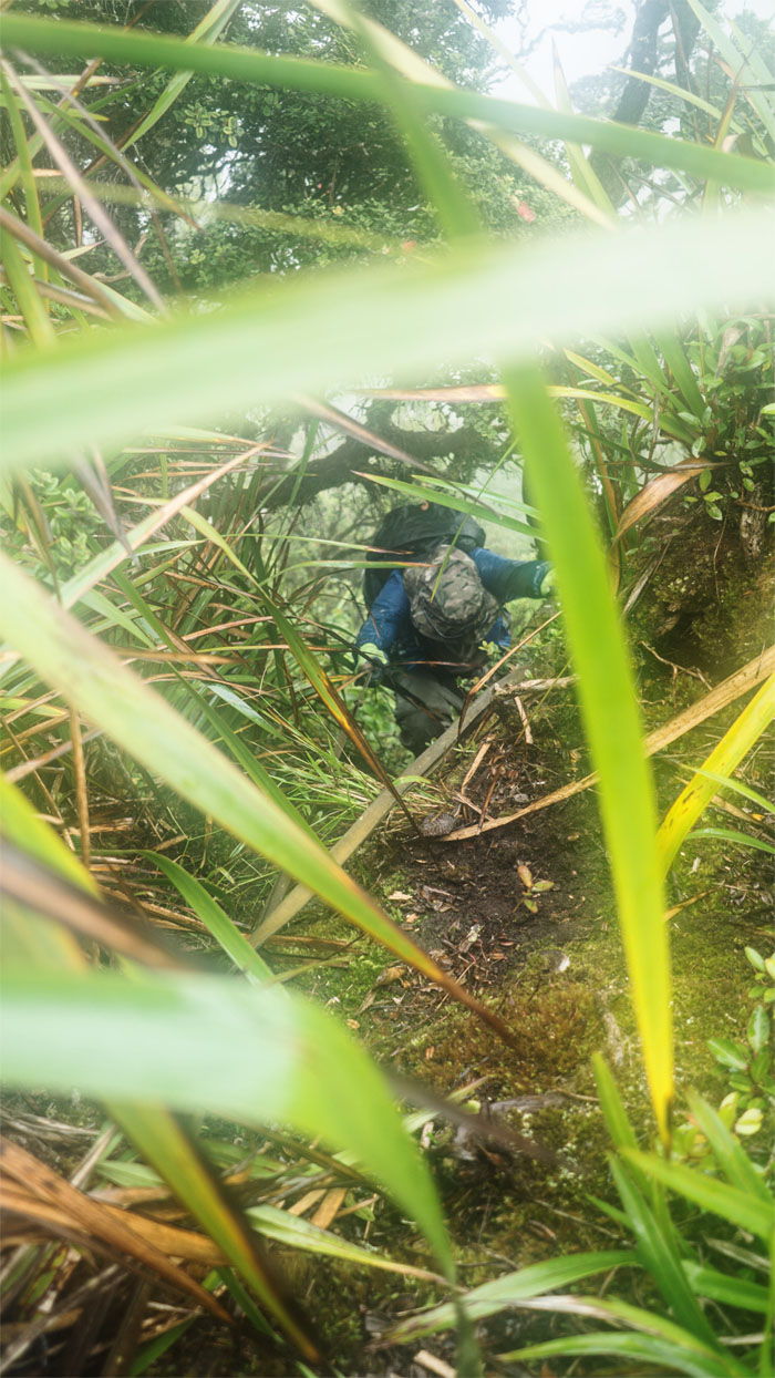
WST
Have machete in hand, will bushwhack.
WST
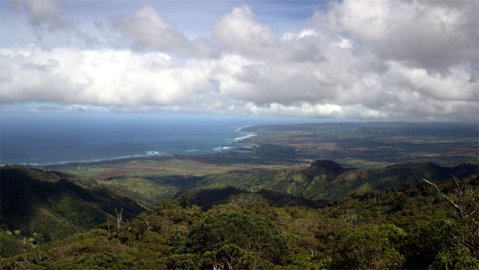
Looking out towards the Mokuleia coastline and the windmills pinwheeling in the distance.
WST
Stuart pushing up the last hill towards the summit of three valleys.
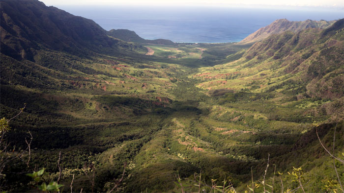
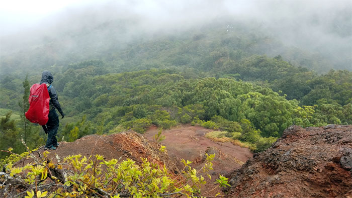
Three Corners
Valley views of Makua, Makaha and Mokuleia were actually in evidence today.
WST
Short and suffocating trek on the ridge that connects to Ka’ala.
WST
Stuart dropping off the uluhell infested ridge and onto the road.
Ka’ala Road
Somebody was talking about a 20 minute walk up to the top. Photo by Stuart Krempin.
Ka’ala Road
Hairy balls road.
Ka’ala Road
Approaching the defunct radar station that is now home to an active cellular communications tower.

Ka’ala Road
End of the cloud soaked road.
Mount Ka’ala
We made it to the shelter at 1430, just before the raindrops started to fall. Perfect timing.
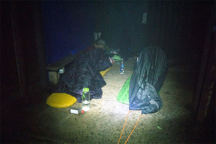
Mount Ka’ala
Stuart strung up his tarp to keep most of the wind blown rain from our sleeping accommodations. Sleeping on concrete buffered by an air mattress never felt so good.
Mount Ka’ala
Rain tucked us to sleep and woke us up. It was going to be a wonderful day. Reverse psychology doesn’t seem to work in the mountains.
Mount Ka’ala
Stuart on the boardwalk.
Mount Ka’ala
Looking for the ridge in the cloud and rain soaked bog. Photo by Stuart Krempin.
WST
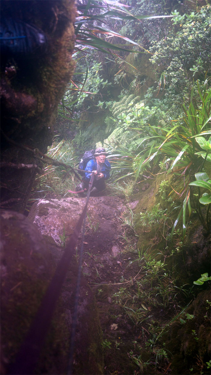
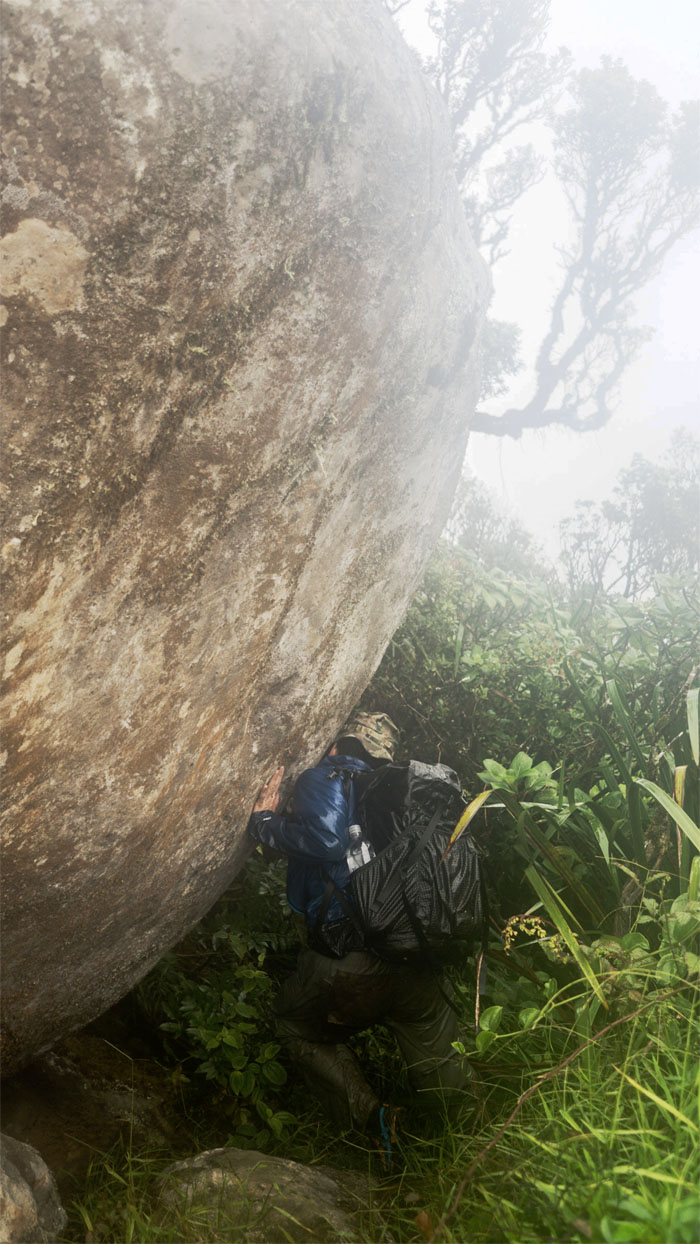
Making my way down the slippery boulder section. Photo by Stuart Krempin.
WST
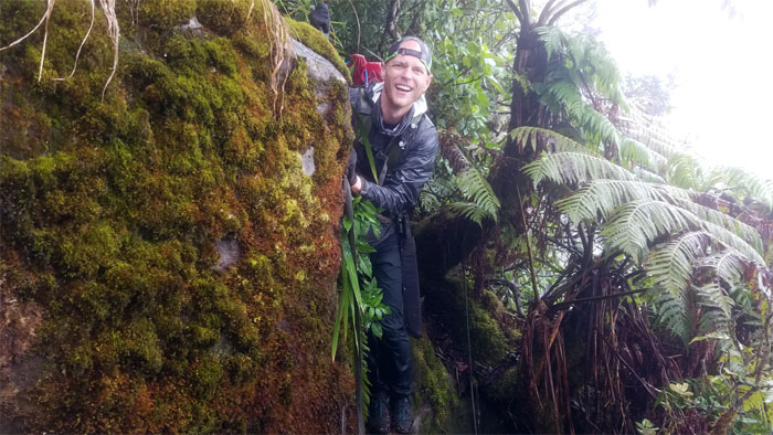
Stuart preparing to take his “leap of faith” between the moss slicked boulders.
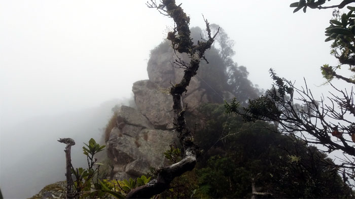
WST
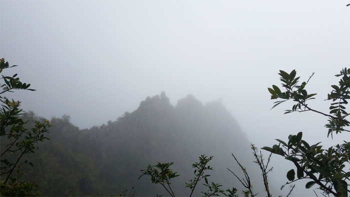
Looking back at the rocky edifice made even more surreal by the grey rain clouds.
WST
Isometric exercises in the mountains. Photo by Stuart Krempin.
WST
When nature gives you water, just open your mouth and drink up.

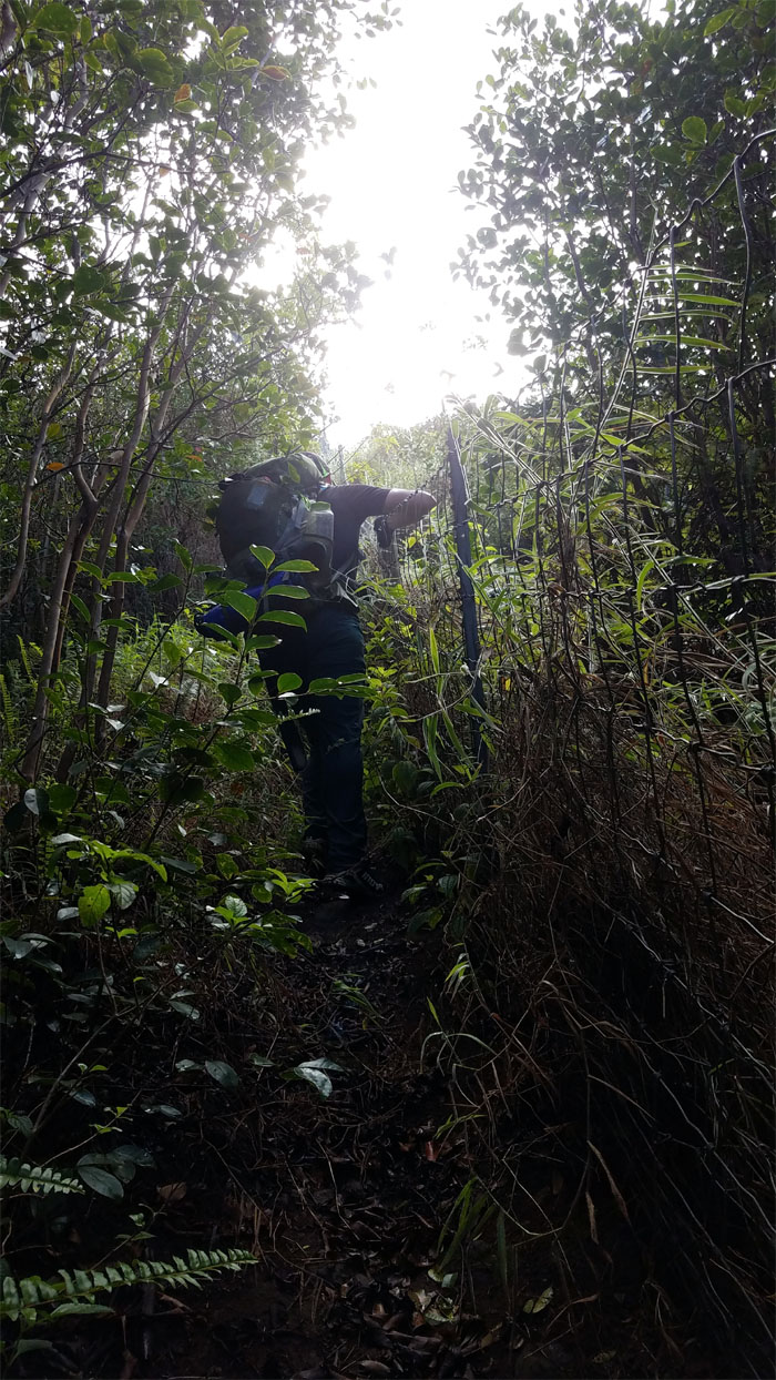
WST
Stuart being swallowed up by the unchecked overgrowth on the trail. Where is that machete? Shortly after this section, I was torn between a difficult decision on whether to render immediate aid or take a picture of what was actually transpiring. I picked the first option, which was to remove a branch of thimbleberry thorns that had somehow gotten lodged in Stuart’s eyelid! Believe it or not.
WST
Pushing our way up the rain soaked ridge. Photo by Stuart Krempin.
WST
Stuart crossing over the notched ridge.
WST
Dropping off the ridge and contouring to regain the ridge. Photo by Stuart Krempin.
Pu’u Kalena
Missing the views at the 3,504′ summit, but not the rain. Rain, rain, go away. Nursery rhymes don’t seem to work up here. Photo by Stuart Krempin.

WST
When you’re looking for your bite valve and it’s sitting on your shoulder strap. Luckily glasses weren’t involved as well.
WST
The ridge widened at some sections with pockets of pine trees.
WST
Wind milling my way up the ridge in a futile effort to keep warm. Photo by Stuart Krempin.
WST
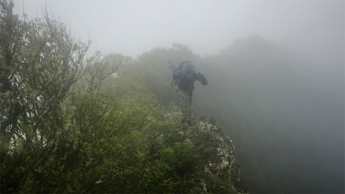
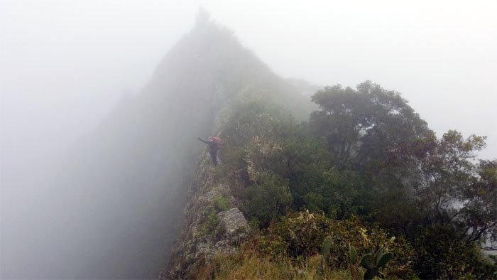
Looking out at sexxxy ridge to our right as it dropped off into the murky clouds.
WST
Walking in the clouds on the narrow rock dike. Photo by Stuart Krempin.
WST
Descending down from Pu’u Ku Makali’i on the rain slicked rock dike as we heard intermittent booming guns from the ranges below us.
WST
Entering the forested section which helped to keep some of the rain at bay.
WST
Watching the clouds drift over bunker pocked Lualualei Valley and the forbidden miniature mountain.
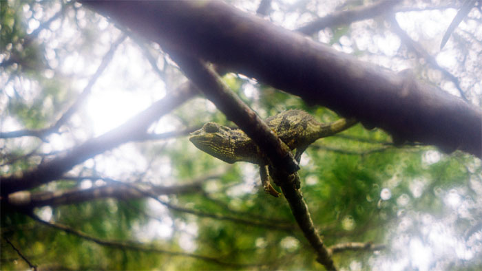
WST
Spotted a me not so horny invasive critter that has made themselves home in the mountains. Photo by Stuart Krempin.
WST
Stuart dropping down to the lowest point in the Waianae Mountain Range.
WST
We followed a set of overgrown steps into the valley floor that was littered with bright yellow colored bags, and decided not to let curiosity get the better of us.
WST
Let’s not dawdle through these parts.
Kolekole Pass Road
Hiking in the rain the entire day and with no let up in sight and another rainy day forecasted for the next day, we decided to throw in the towel for safety and comfort reasons and made our way down the road, passing the now silent ranges.
Kolekole Pass Road
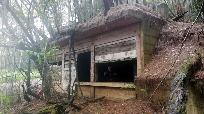
You never know what one will find in these abandoned WW2 bunkers.
Kolekole Pass Road
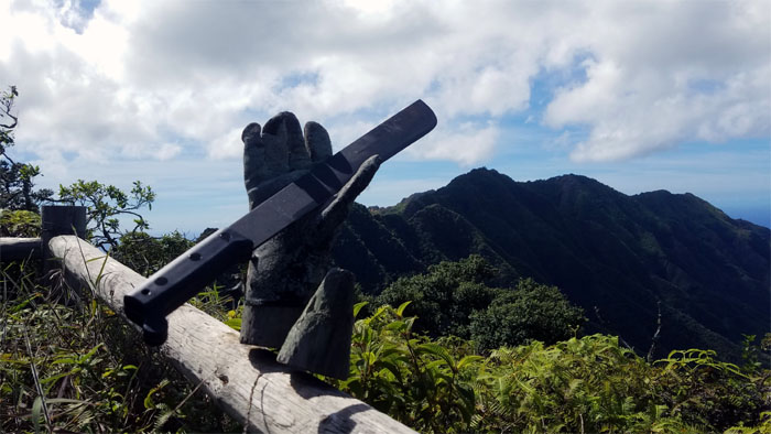
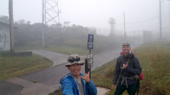
This is my rifle, this is for fighting…
All pau
… this is my gun, this is for fun. Thanks to Mitsy for picking us up on base.
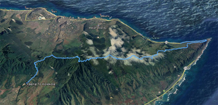
GPS Tracks
Our abbreviated two day camping hike covered 21.83 miles through the wild flavor of the Waianae Mountains. It was still an amazing adventure with a good buddy. Post hike meal at Outback Steakhouse. Thanks to Mitsy for putting up with our carnivorous appetites.
Note: I have been made aware that some hikers have been using my blog as a hiking guide and getting lost on the trails. Please note that this blog was made to document the hike for the crew(s) that did it. That is why some of my comments will seem to have no relevance or meaning to anybody outside of the crew(s) that hiked that trail. My blog was never meant as a hiking guide, so please do not treat it as such. If you find inspiration and entertainment from these hikes, that is more than enough. If you plan on replicating these hikes, do so in the knowledge that you should do your own research accordingly as trail conditions, access, legalities and so forth are constantly in flux. What was current today is most likely yesterdays news. Please be prepared to accept any risks and responsibilities on your own as you should know your own limitations, experience and abilities before you even set foot on a trail, as even the “simplest” or “easiest” of trails can present potential pitfalls for even the most “experienced” hikers.
{ 2 comments… read them below or add one }
Awesome, just awesome. What a hike, let’s finish this.
Aloha Stuart,
Yup, let’s pray for good weather this time around!
Mahalo