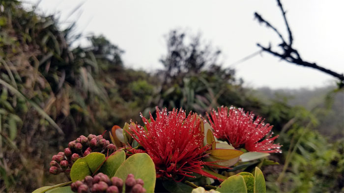
Returned back to the mountains after a two-week hiatus filled with Christmas parties and festivities. Met up with Chris and Ferlino at Tanatalus. Thanks to Jasmin for dropping us off again.
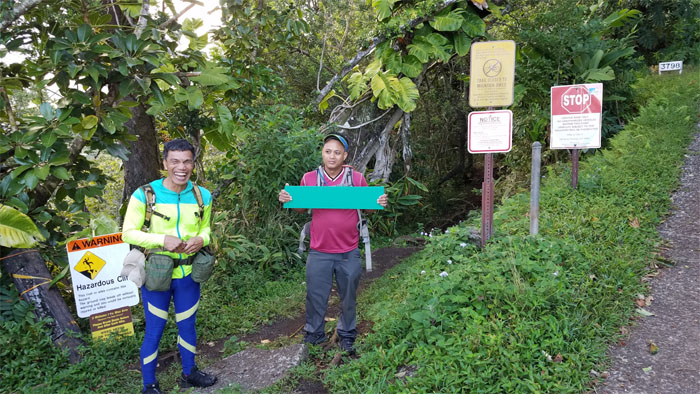
Chris keeping the sign under wraps until we get to the summit.
Pushing off on the trail that is part of the Honolulu Mauka Trail System, a sprawling network of 19 connected trails in the Maikiki Heights area.
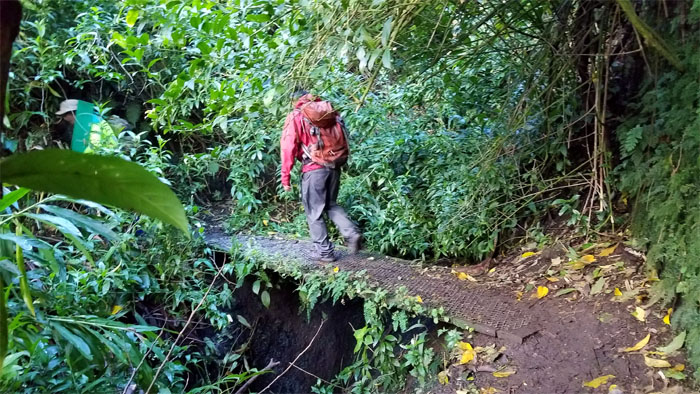
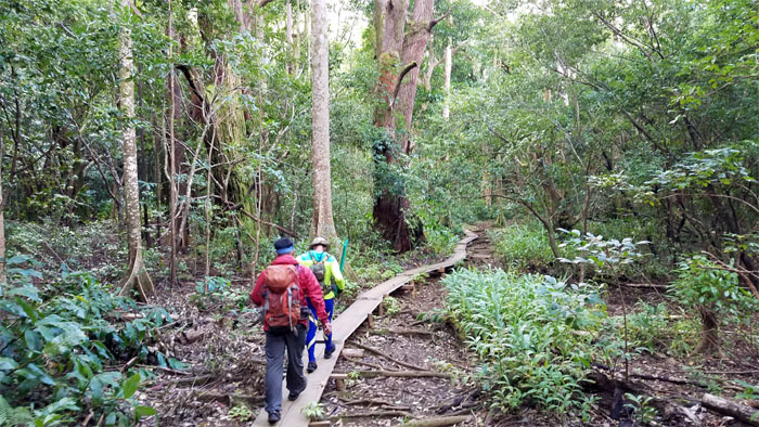
Chris crossing the plank into the mixed forest.
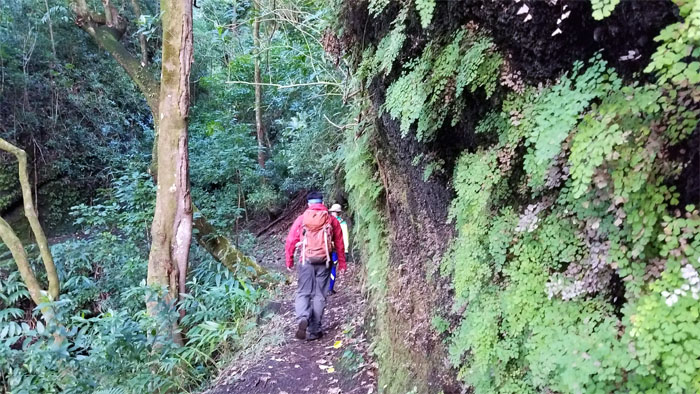
The trail meandered in and out of the numerous gulches.
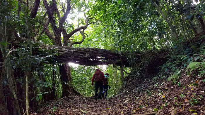
Groot is alive and well in the Maikiki Forest.
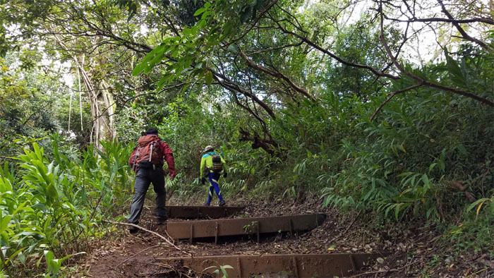
Stepping up the trail. We must be on a Na Ala Hele Trail.
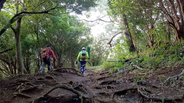
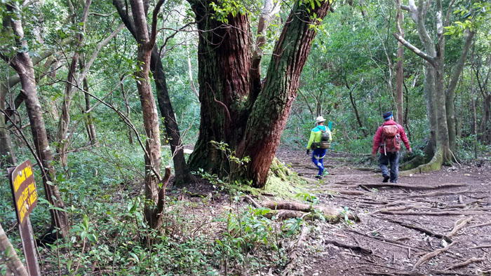
Taking a left at the junction on the heavily rooted trail.
Back on the boardwalk, dry shoes for now.
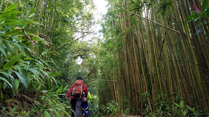
Bogging our way through the bamboo forest.
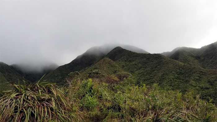
We popped out of the forest to the windswept view at the 1,600′ lookout.
Contouring on the Windward side of the ridge which afforded us views of upper Lulumahu Falls on our way up.
We got an itch to scratch up there or down there.
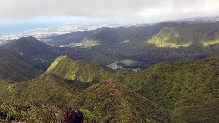
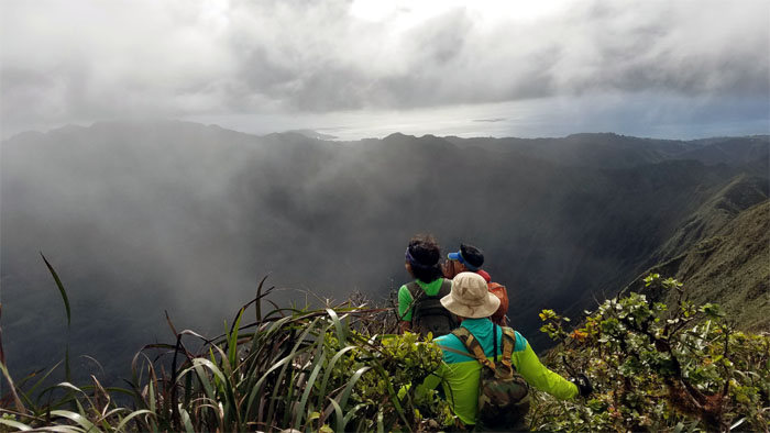
Looking down at the ridges flowing into Nu’uanu Valley.
Whew! That was a good cardio burn going up the hill. Photo by Ferlino Carinio.
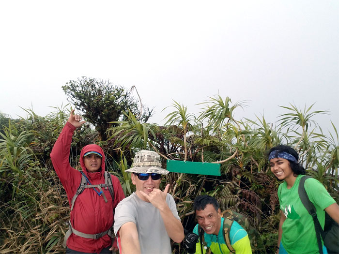
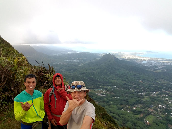
Group photo at the socked in summit, left to right: Chris, myself, Ferlino and a girl from Utah that had come up from the Pali Notches. Mahalo to Chris for taking the time out to make a sign marking the summit of Konahuanui 2.
The girl from Utah decided to join our group as the clouds began drifting away.
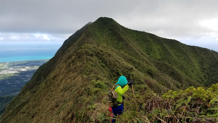
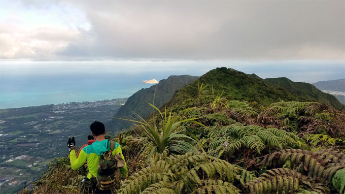
Wrap around ridge views of Maunawili Valley as we dropped off K2.
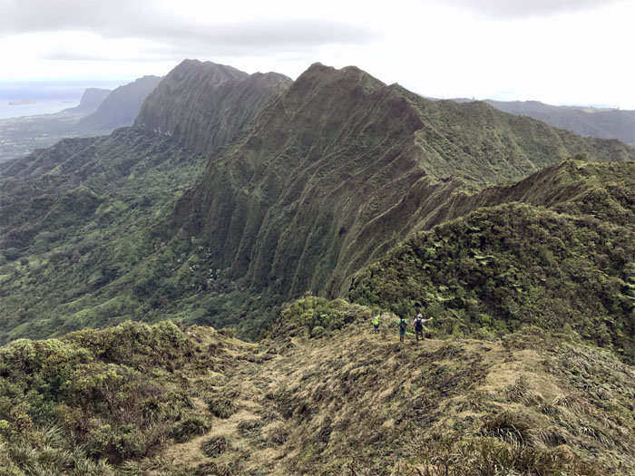
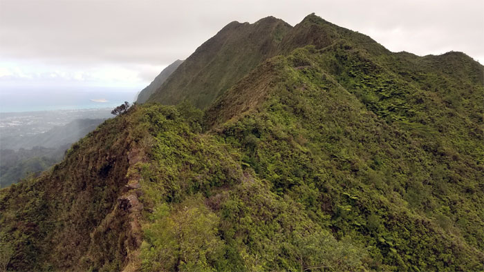
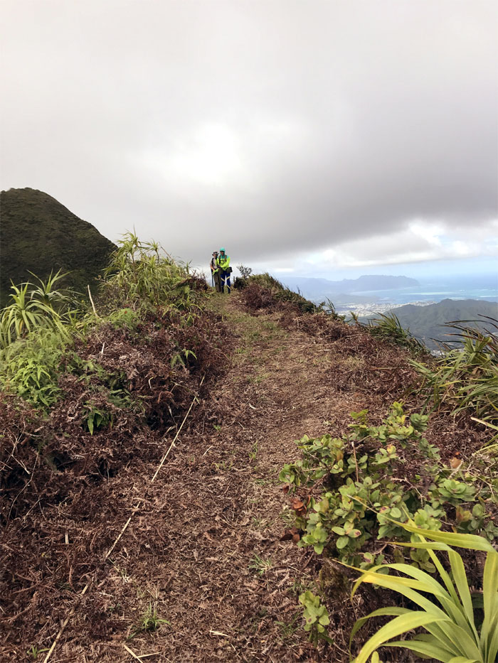
One of my favorites sections of the KSRT due to the broad ridge with the grassy meadows on the side and the straight shot view to Makapu’u. Photo by Chris Bautista.
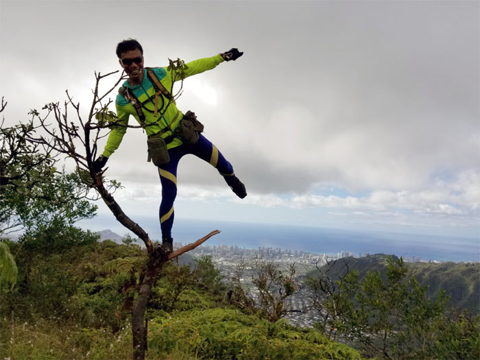
Hmmm, what is the rated load limit for that tree? Photo by the girl from Utah.
Making our way to contour around the ironwood stand and crawl over the sedan rock.
We decided to drop off the ridge and explore the contour trail on the Leeward side.
Coming around the contour trail with Manoa Valley behind us. Photo by Chris Bautista.
On our steep climb to Olympus, we lost the girl from Utah, who had enough of being cut and scratched on her legs by the uluhell ferns and decided to go down the Waahila Trail.
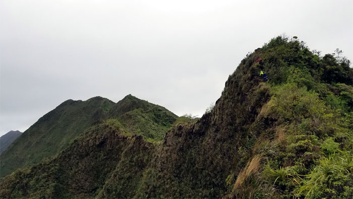
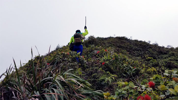
The hills have hills in these mountains as Ferlino can attest.
Picking out Olomana, Manana Island, Koko Head, Ka’au Crater and Diamond Head from the 2,486′ summit.
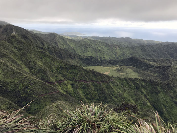
Looking down at the contour trail continuing beneath the Ka’au Crater Loop trail as it left a brown streak across nature’s lawn. Photo by Chris Bautista
Dropping down from Olympus.
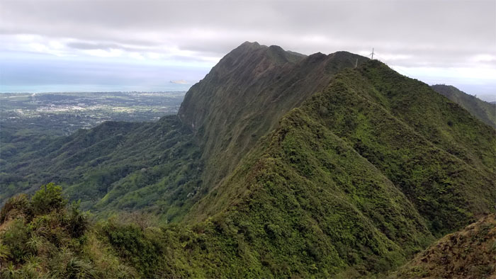
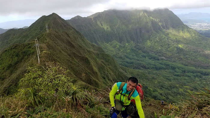
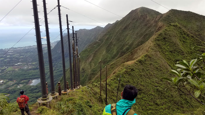
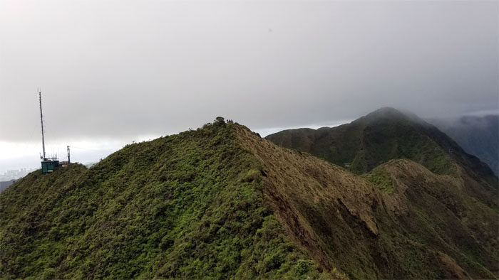
Making our way to the tuff cone nestled against the Ko’olau Mountains that are marked with twin power poles marring the otherwise scenic view.
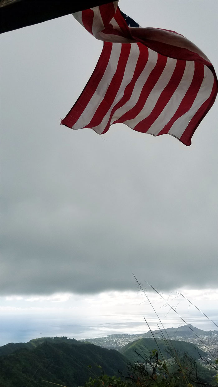
I guess it’s always Flag Day in the mountains.
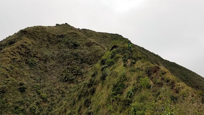
How many hills are there in the mountains? Many. With more to come.
The bamboo staff has been passed along. Take care of it and it will take care of you.
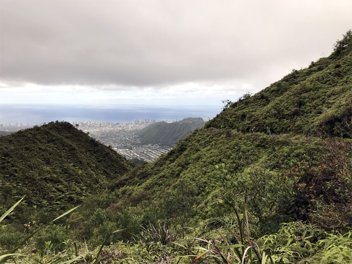
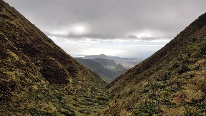
Enjoying the superb valley view before climbing up the big hill.
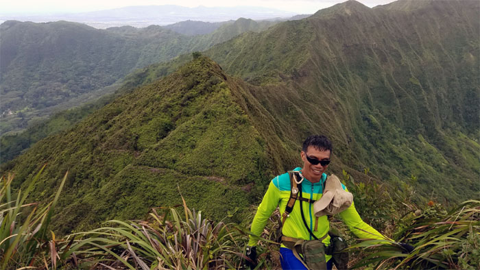
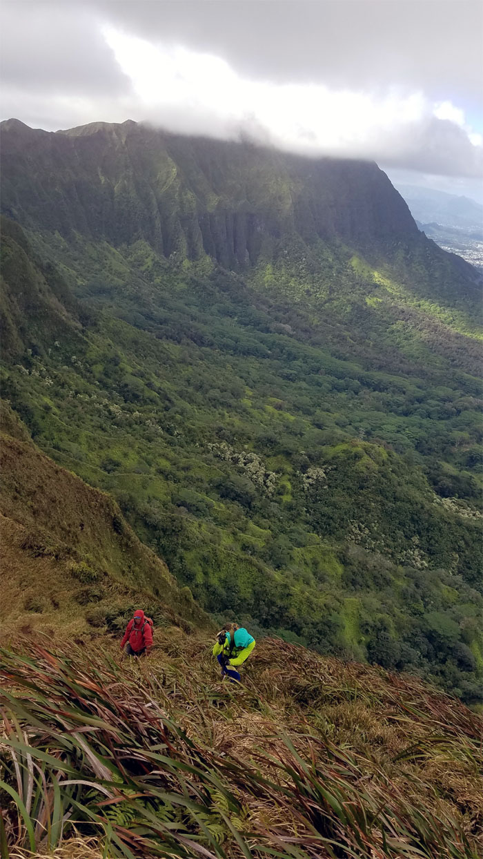
Ferlino and Chris making their way up the mother of all hills on this particular section.
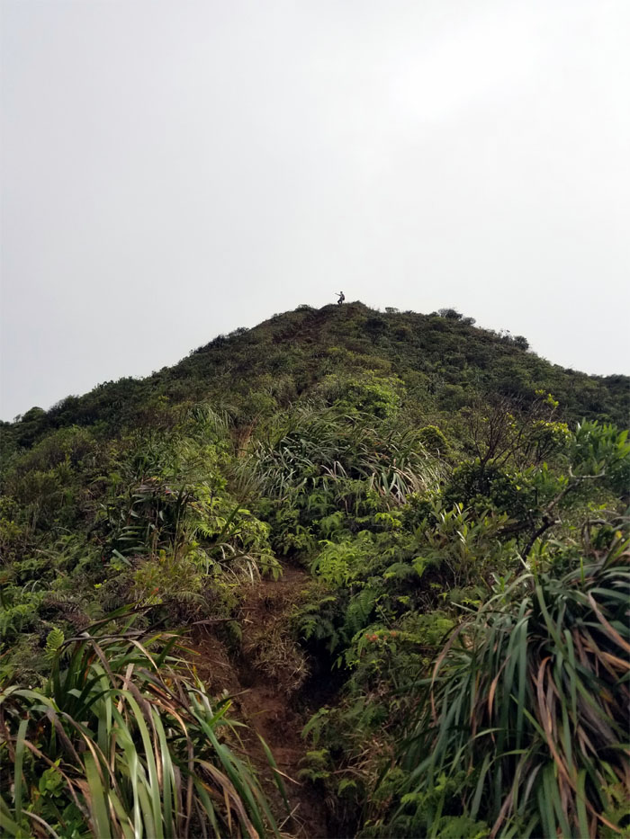
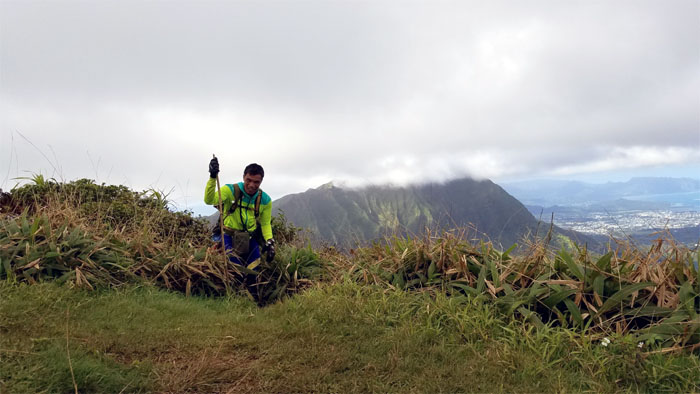
Ferlino arriving at the 2,520′ summit. No rest for the weary as we continued on the trail.
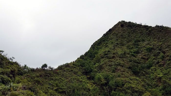
Passing a false summit before gaining the “true” summit of Lanipo.
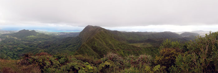
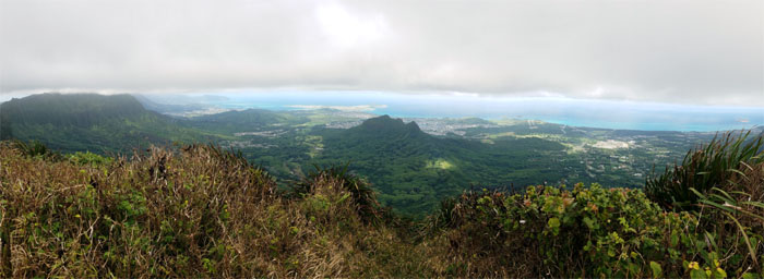
Soaking in the coastal, mountain and valley views from the top.
Passing the Waialae Nui junction on our way down the HECO pole lined ridge.
Coming up from the helipad through the freshly shaven trail, courtesy of HECO. Photo by Chris Bautista.
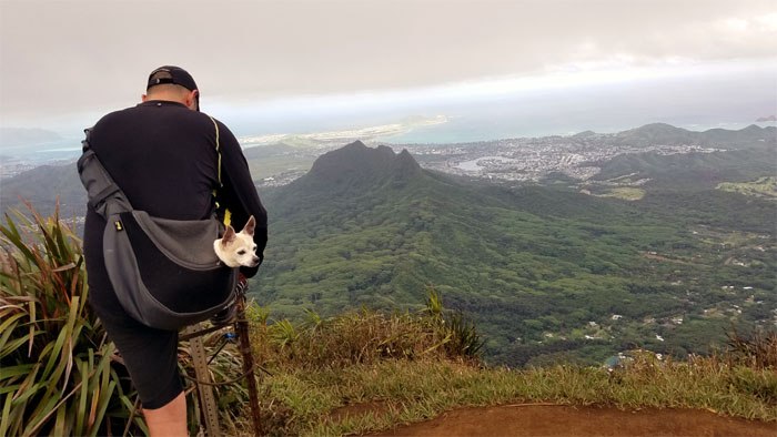
Some hikers got carried to the 2,480′ summit. Lucky dawg!
We left the summit that was quickly filling up with hikers coming up from the Wiliwilinui Ridge Trail.
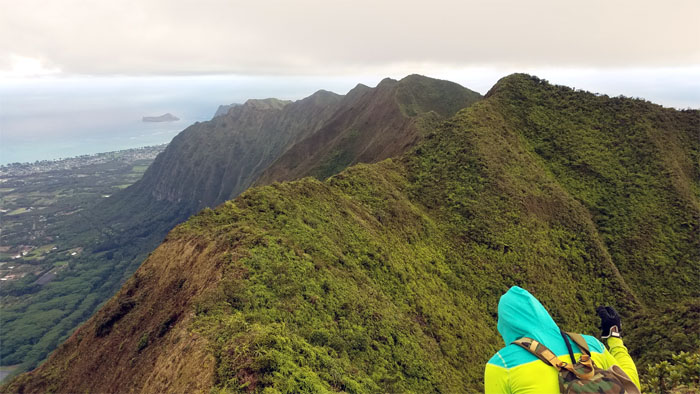
Making our way across the undulating ridge.
Long gone are the green wooden sign and the colorful fluttering prayer flags.
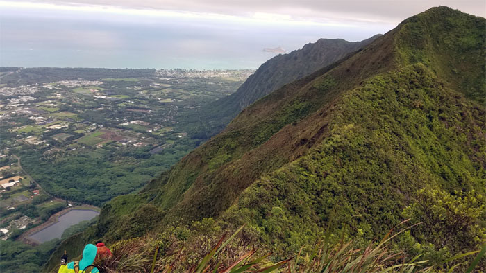
Passing the Waimanalo reservoir as we made our way across the slightly overgrown ridge.
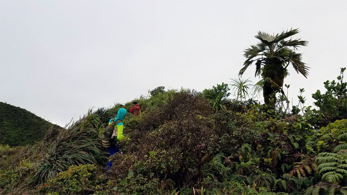
Encountering a stunted loulu palm tree on the trail.
Almost there!
Group photo at our final summit stop on the Ko’olau Mountains.
Leaving the 2,520′ summit.
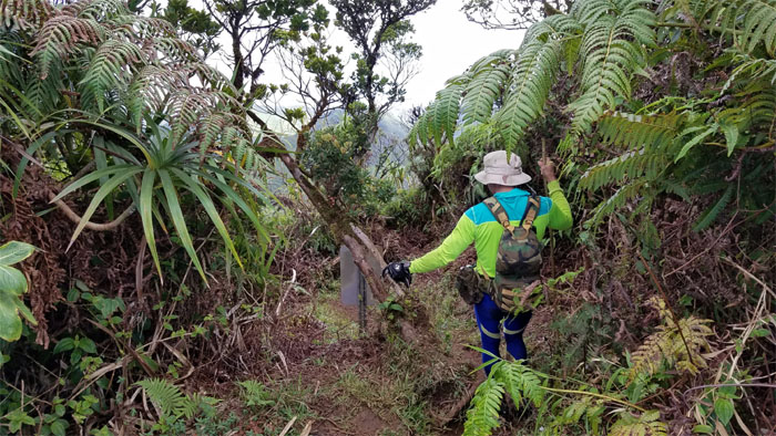
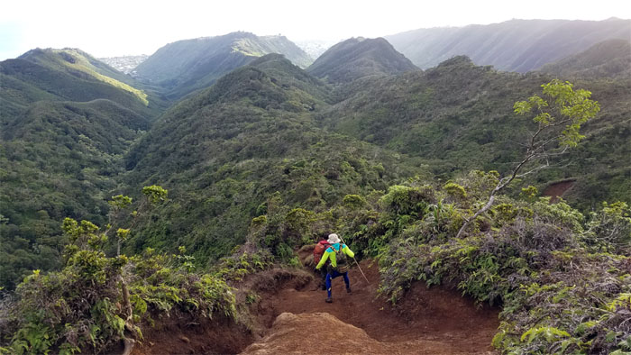
Stepping our way down the ridge trail.
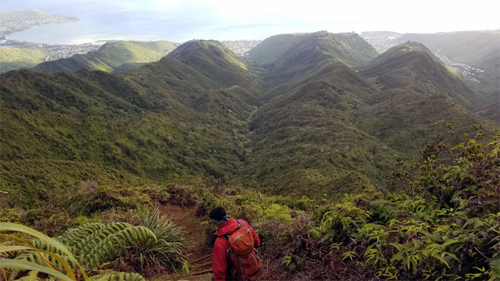
Going down the severely eroded and rutted trail.
Reflecting back on the mountain views.
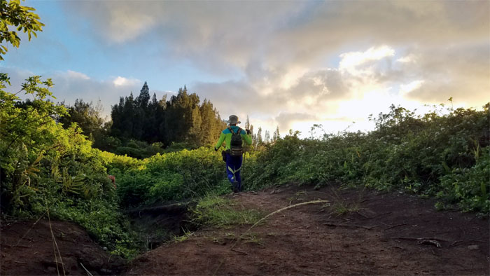
Approaching the final ironwood stand before dropping back to our cars and leaving the gated community of the rich and famous.
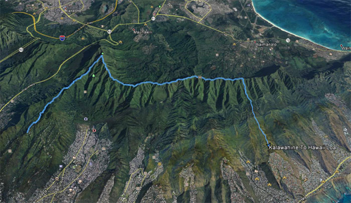
Our pre-Christmas hike covered almost 10 miles that was filled with scenic views, cheer and good company. Post hike meal at Pieology. Loaded up the carbs for tomorrow’s hardest hike on Christmas Day.
Note: I have been made aware that some hikers have been using my blog as a hiking guide and getting lost on the trails. Please note that this blog was made to document the hike for the crew(s) that did it. That is why some of my comments will seem to have no relevance or meaning to anybody outside of the crew(s) that hiked that trail. My blog was never meant as a hiking guide, so please do not treat it as such. If you find inspiration and entertainment from these hikes, that is more than enough. If you plan on replicating these hikes, do so in the knowledge that you should do your own research accordingly as trail conditions, access, legalities and so forth are constantly in flux. What was current today is most likely yesterdays news. Please be prepared to accept any risks and responsibilities on your own as you should know your own limitations, experience and abilities before you even set foot on a trail, as even the “simplest” or “easiest” of trails can present potential pitfalls for even the most “experienced” hikers.






{ 0 comments… add one now }