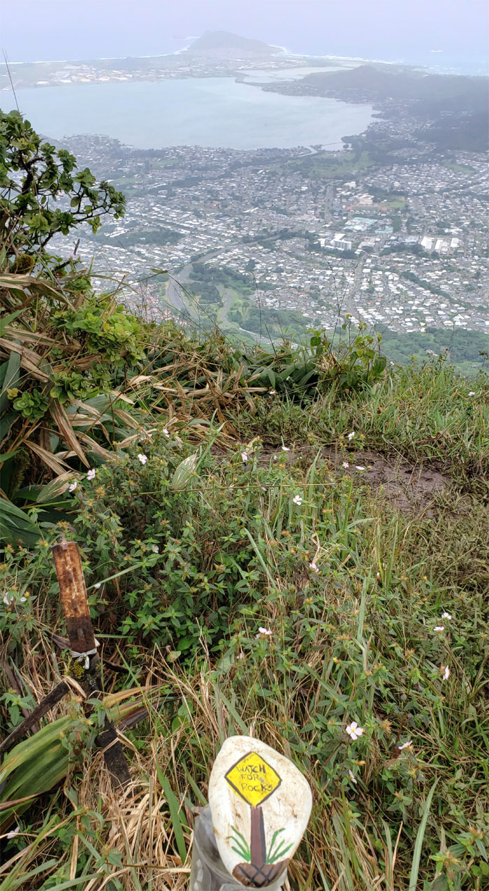
It was time to break in another saddle cherry. At this rate, I should go into the edible business.
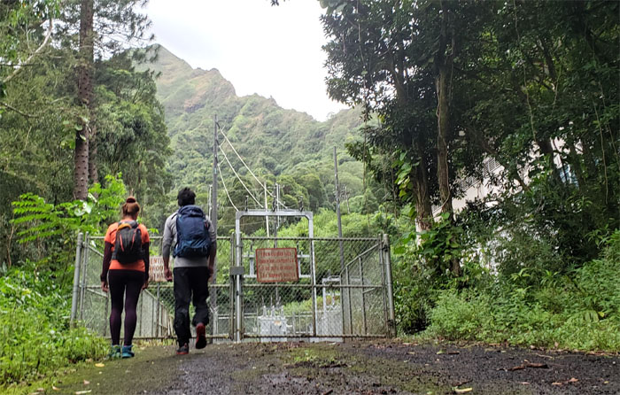
Thanks to Quan for dropping Analyn, Kip and myself off on the side of Likelike Highway where we walked up the mosquito infested service road to start our hike.
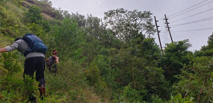
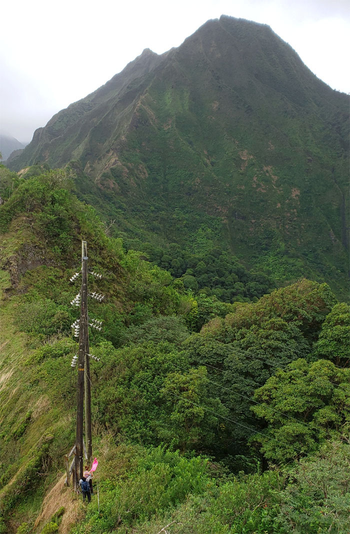
Working our way up to the powerline poles that supply electricity to the Windward side.
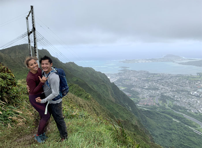
It was quite breezy once we hit the exposed ridge, so somebody had to put on additional layers to stay insulated.
Working our way up the ridge. So far, easy peasy. Photo by Kip Mizushima.
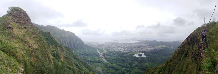
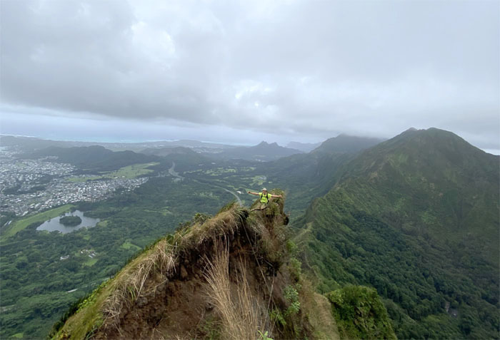
Panoramic views of the Windward side that can’t be beat.
Just missing the spiced rum. Photo by Kip Mizushima.
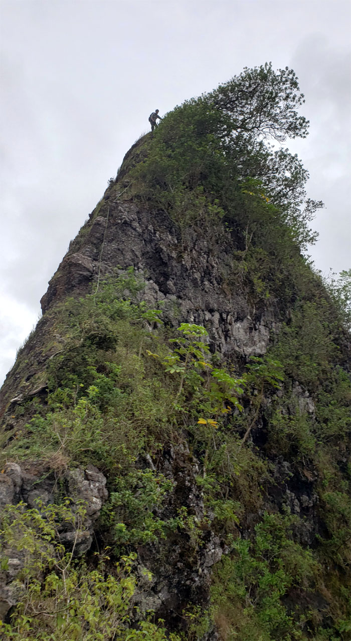
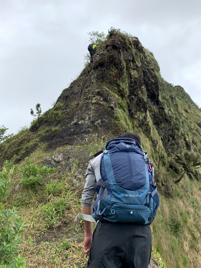
Climbing up the backside, which is considerably shorter than the front side. Photo by Kip Mizushima.
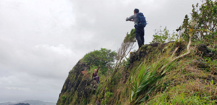
Kip making his way down the front side of the pointed rock.
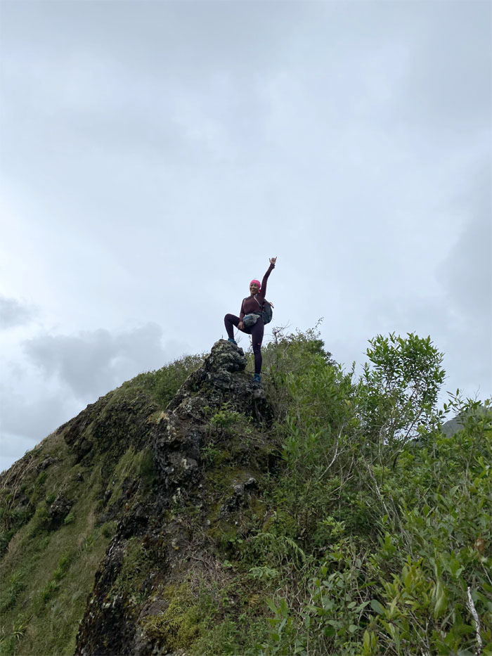
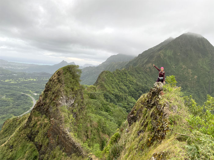
Analyn posing at one of the most photographed spots on this side of the saddle. Photo by Kip Mizushima.
It’s only Sunday. Photo by Analyn Baliscao.
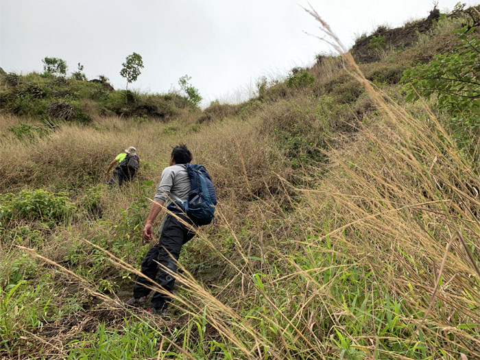
Looking forward to our uphill climb. Photo by Kip Mizushima.
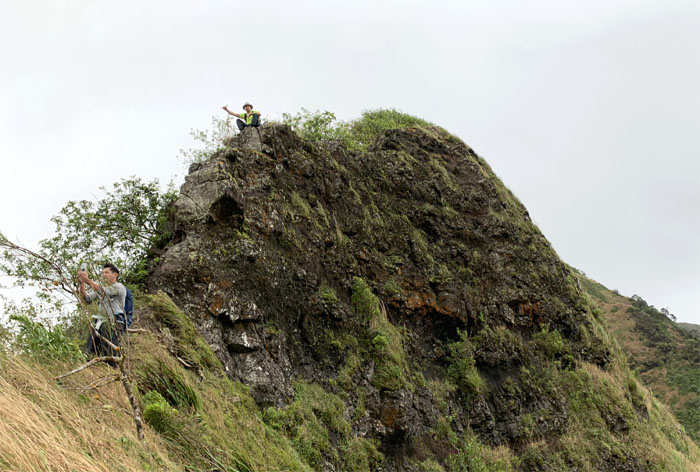
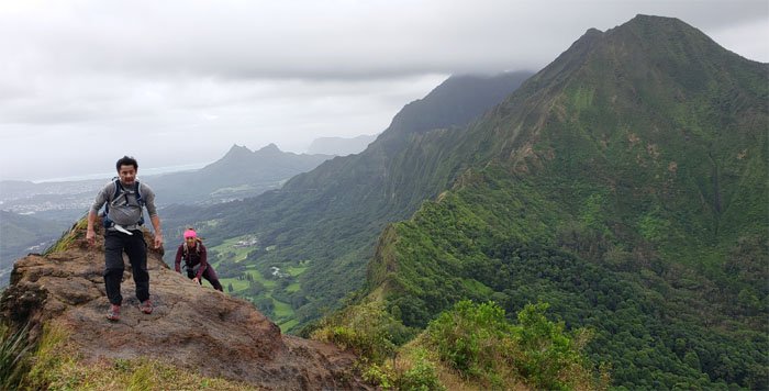
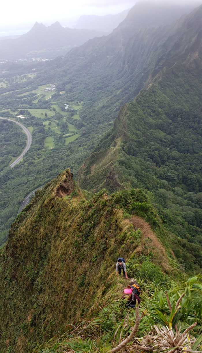
Photographing the photographer on the skinnier section of the skinny ridge.
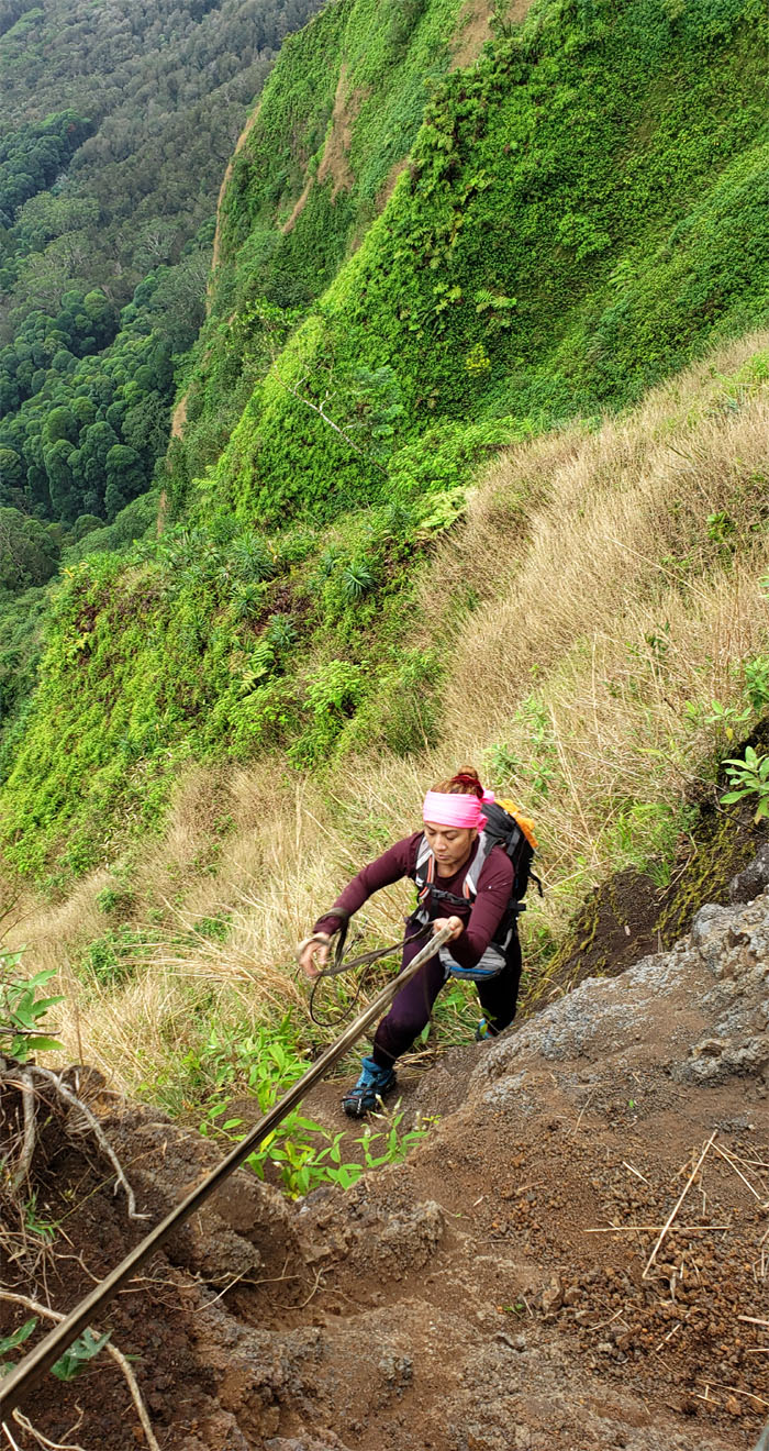
Bypassing the webbing and climbing up directly. Photo by Kip Mizushima.
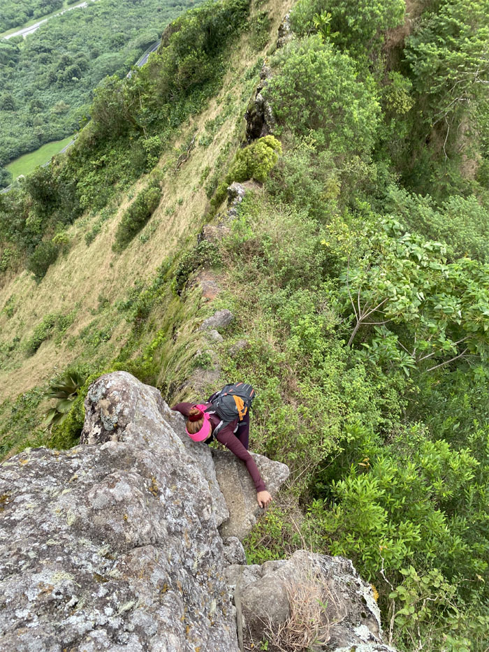
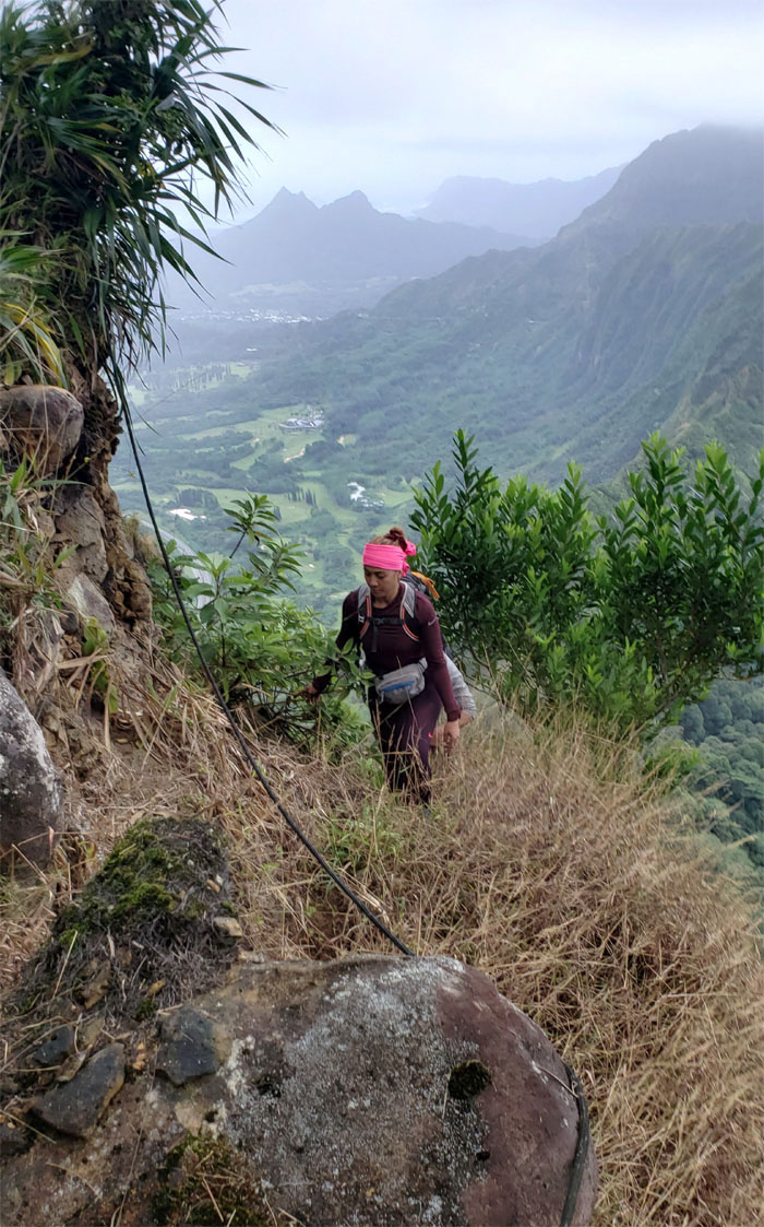
Analyn making her way up. Photo by Kip Mizushima.
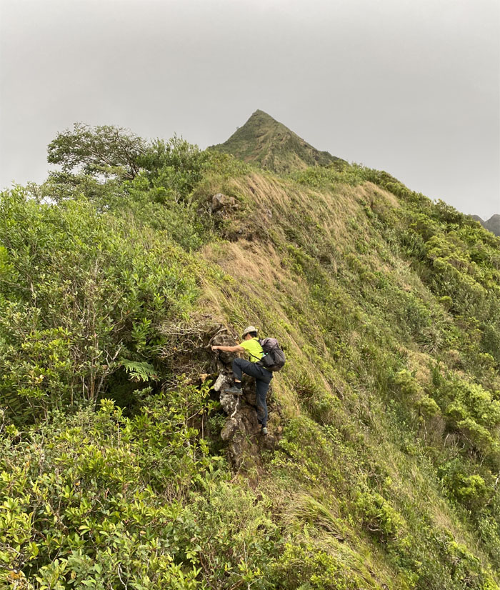
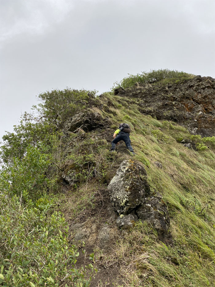
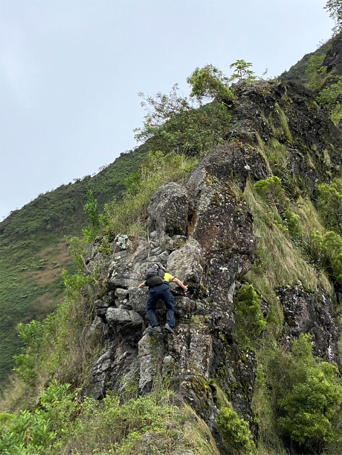
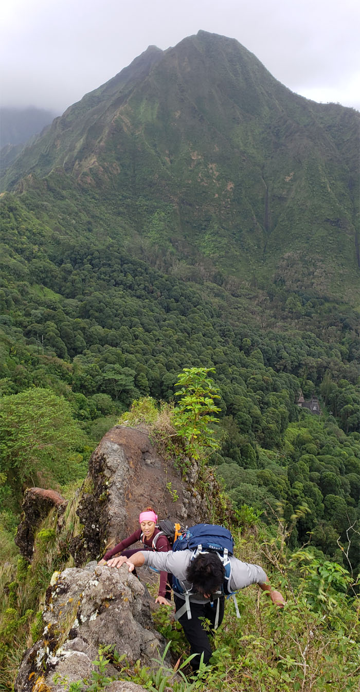
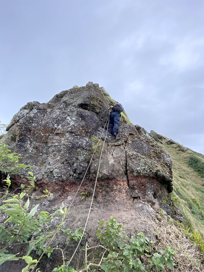
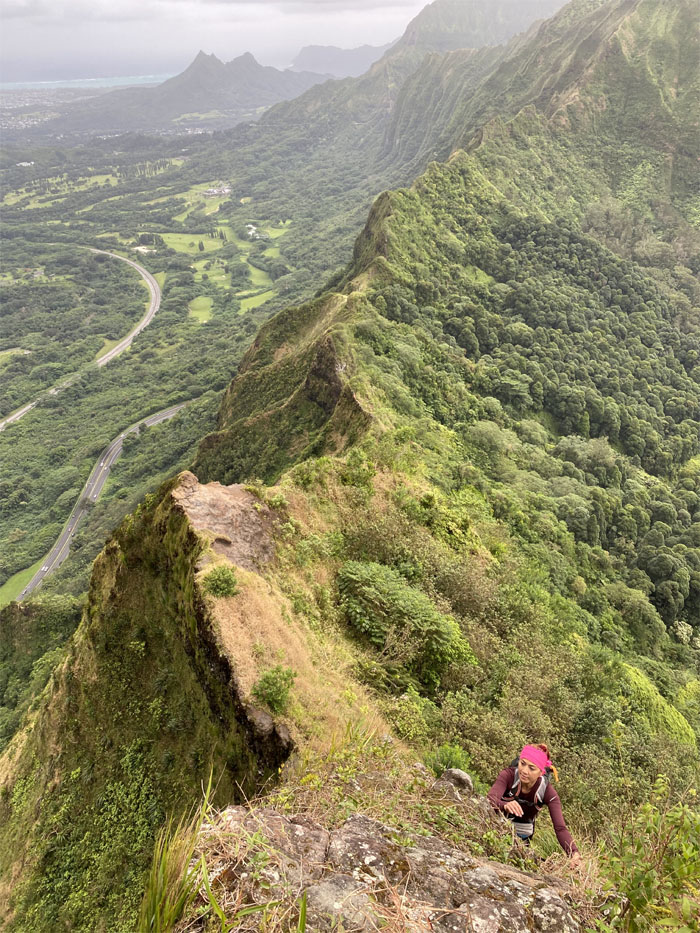
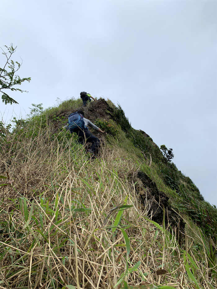
Watching our step as we climbed our way up, as every foothold and handhold are suspect due to the crumbly nature of the saddle.
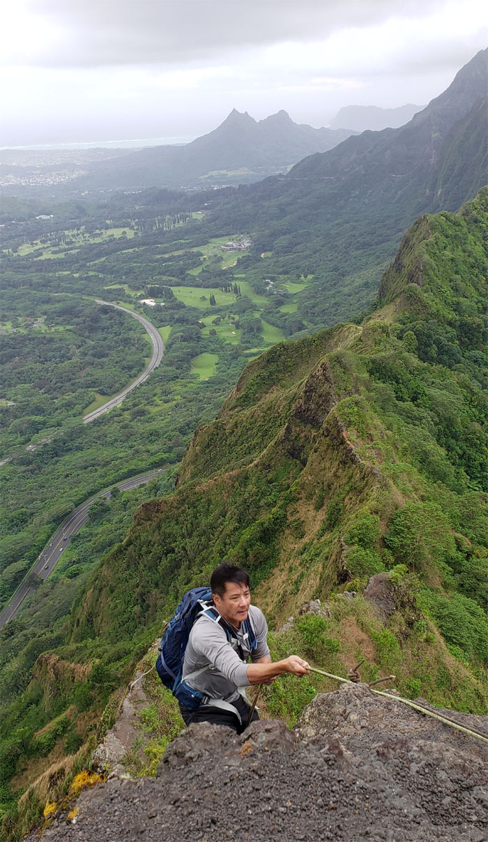
Climbing up the Windward side. Photo by Kip Mizushima.
Kip pulling himself to the top.
Passing over the eroded section that overhangs the ridge.
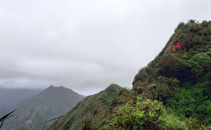
Working myself up the Leeward side. Photo by Analyn Baliscao.
Analyn looking for her next handhold as she makes her way up. Photo by Kip Mizushima
The ground going up was extremely slippery underfoot due to the loose rocks. Photo by Analyn Baliscao.
We soon left the ridge line to contour on the Leeward side which gave us temporary refuge from the winds that were blowing up to 40mph. Quite a dramatic departure from two weeks ago when the winds didn’t even tickle us. Photo by Analyn Baliscao.
Looking for the webbing in the suffocating and overgrown dry grass. Photo by Analyn Baliscao.
Analyn pulling herself up with webbing that I thought gets longer when you pull on it, but this one was shorter than previous trips.
Vidi sedere venero. Not as catchy sounding as veni vidi vici. Photo by Kip Mizushima.
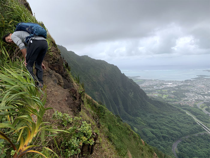
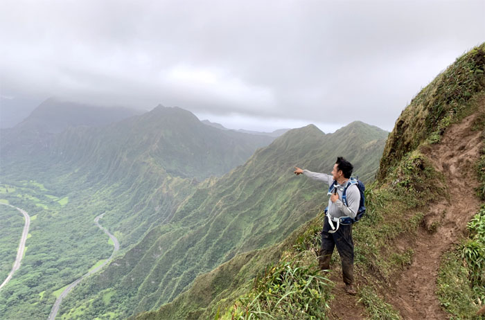
Crossing the section where the trail is eroded and slanted down towards the valley.
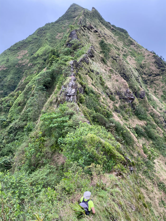
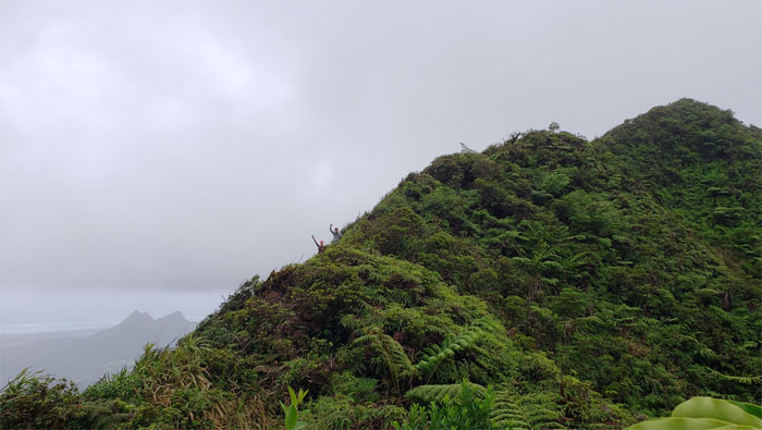
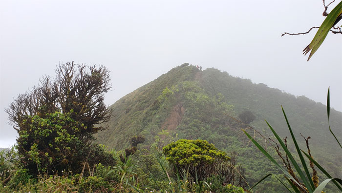
Making our way up the serpentine ridge to Pu’u Kahuauli.
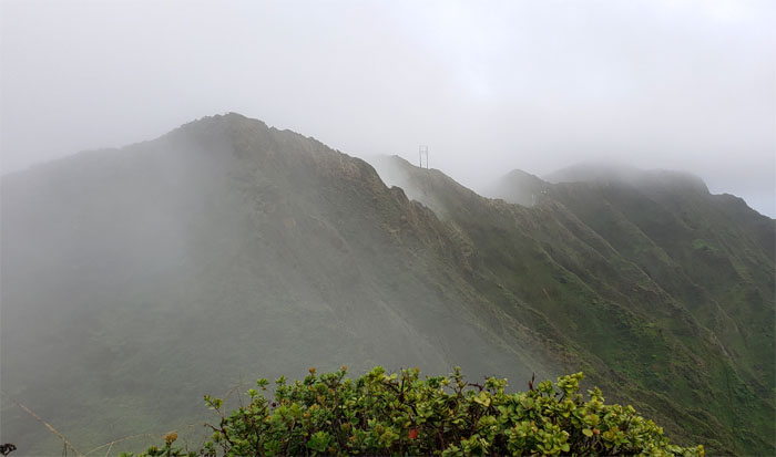
I always appreciate the views when the clouds are just hanging over the mountains and how it keeps them at bay on one side.
Hello from the other side.
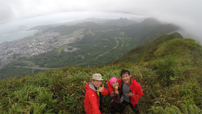
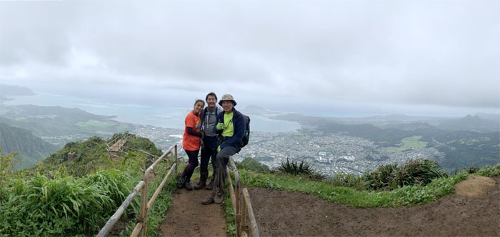
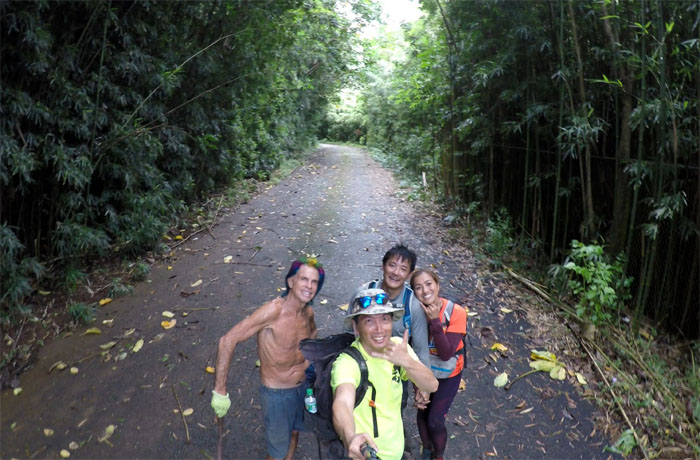
Group photo at the 2,740′ peak, left to right: myself, Analyn and Kip.
Leaving the summit as we hiked the multiple short ups and downs.
Analyn and Kip at the 2,760′ grassy clearing.
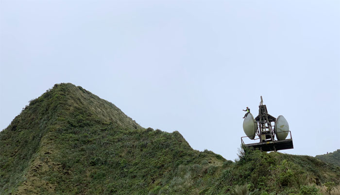
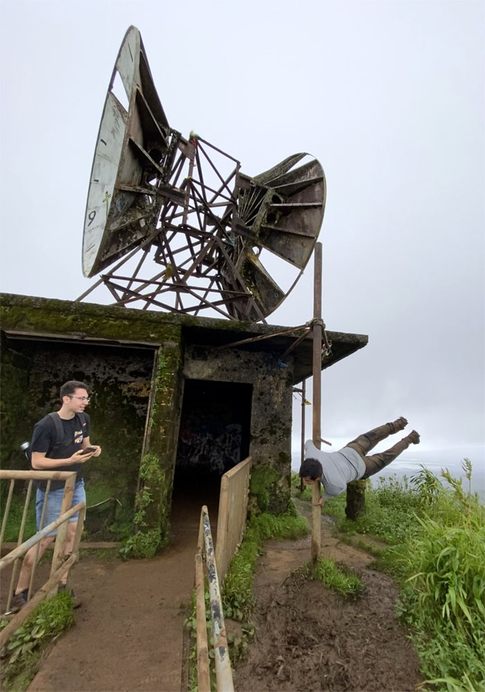
Is this thing still active? Photo by Analyn Baliscao.
Analyn and Kip leaving the 2,820′ benchmark to begin the slippery and muddy slope to heaven.
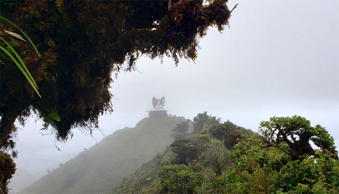
Making our way to the only sheltered building on the ridge.
Kip with the backdrop of Kalihi Saddle. Photo by Analyn Baliscao.
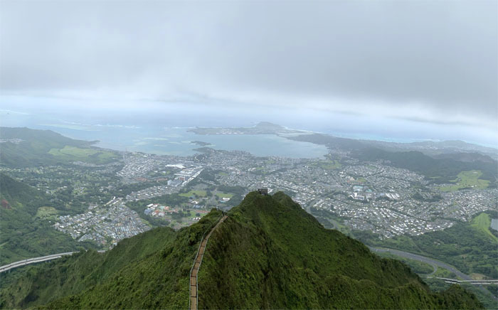
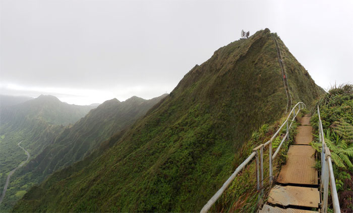
This is what Heaven looks like from 2,480′.
Did I mention the wind was blowing hard? Photo by Analyn Baliscao.
We had planned to go down Moanalua Middle Ridge; however Analyn’s knees were bothering her, so we decided to go down the most direct route, which happened to be the stairs. Photo by Analyn Baliscao.
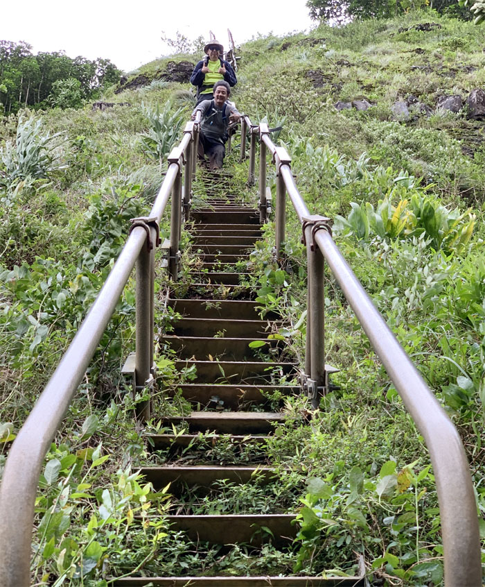
Going down all 3,922 steps, give or take.
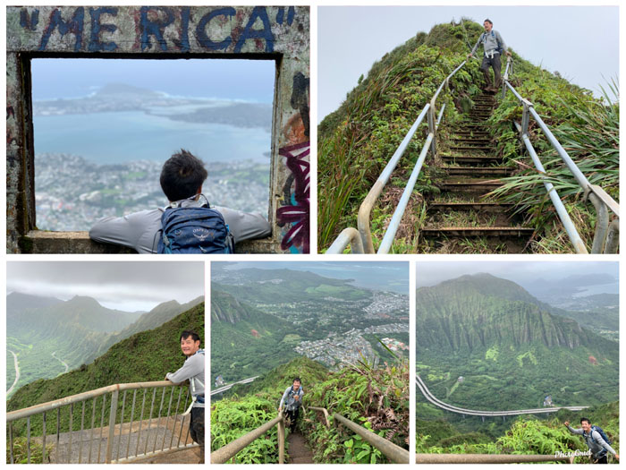
But first there was a photo shoot going on almost every single step of the stairs. Slight exaggeration. Photos by Analyn Baliscao.
The landslide that time forgot and the colorful character that nobody can forget.
Making our way down on the vertical section of the stairs. Photo by Analyn Baliscao.
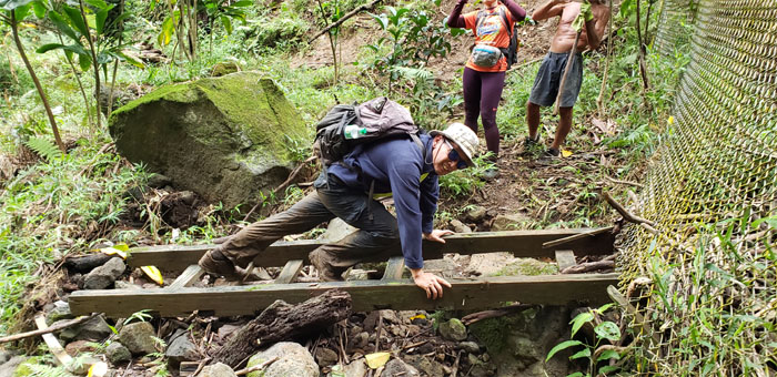
I can’t believe that some of the original wooden ladders that were staked into the cliff side in 1942, are still lying around at the bottom. Photo by Kip Mizushima.
Our saddle to heaven hike had gusty winds, heavenly views and a rainbow at the end. Sweet little hike with great friends. A big mahalo to Laredo for meeting and dropping us off at our truck. Post hike meal at Pho My Vi where hot soup does a body good.
Note: I have been made aware that some hikers have been using my blog as a hiking guide and getting lost on the trails. Please note that this blog was made to document the hike for the crew(s) that did it. That is why some of my comments will seem to have no relevance or meaning to anybody outside of the crew(s) that hiked that trail. My blog was never meant as a hiking guide, so please do not treat it as such. If you find inspiration and entertainment from these hikes, that is more than enough. If you plan on replicating these hikes, do so in the knowledge that you should do your own research accordingly as trail conditions, access, legalities and so forth are constantly in flux. What was current today is most likely yesterdays news. Please be prepared to accept any risks and responsibilities on your own as you should know your own limitations, experience and abilities before you even set foot on a trail, as even the “simplest” or “easiest” of trails can present potential pitfalls for even the most “experienced” hikers.


{ 0 comments… add one now }