
I closed out the year with a short hike with Aida, Allison, Ed and Sally on the East side of the island. Thanks to Aida for giving Allison and myself a ride to the trailhead.
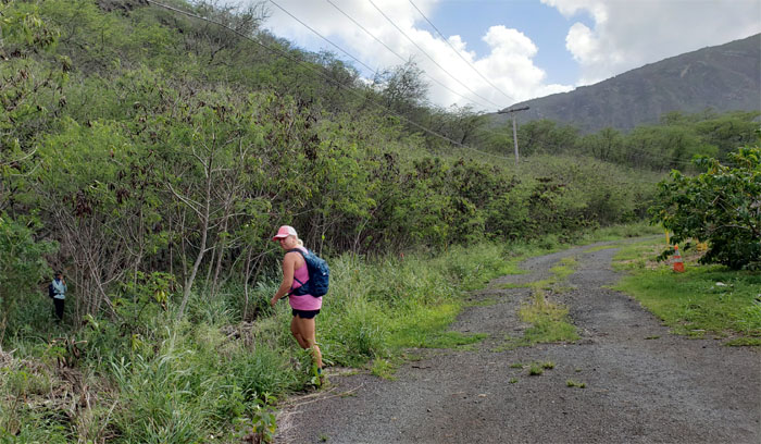
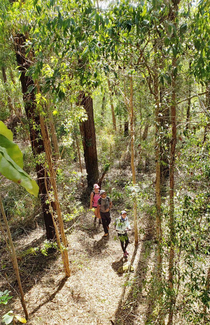
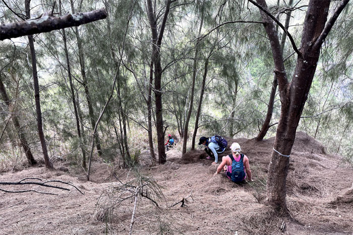
Trailhead
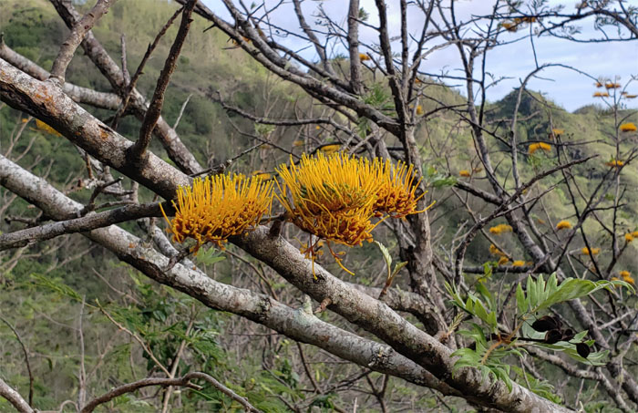
We bypassed the heiau and found Charlie Brown’s Christmas tree.
Kamiloiki Ridge
Contouring our way up to the ridge line. Photo by Ed Valdez.

Kamiloiki Ridge
Resting rock. Photo by Ed Valdez.
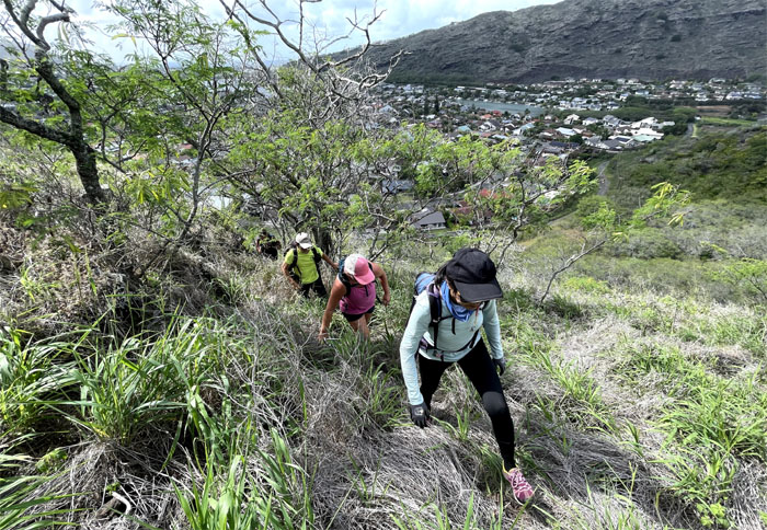
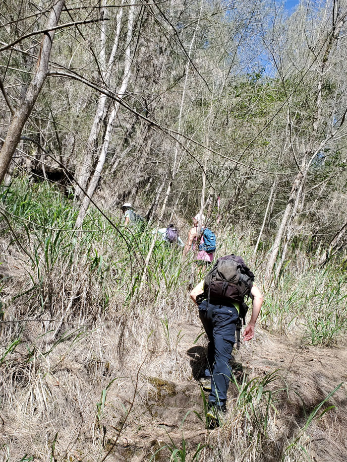
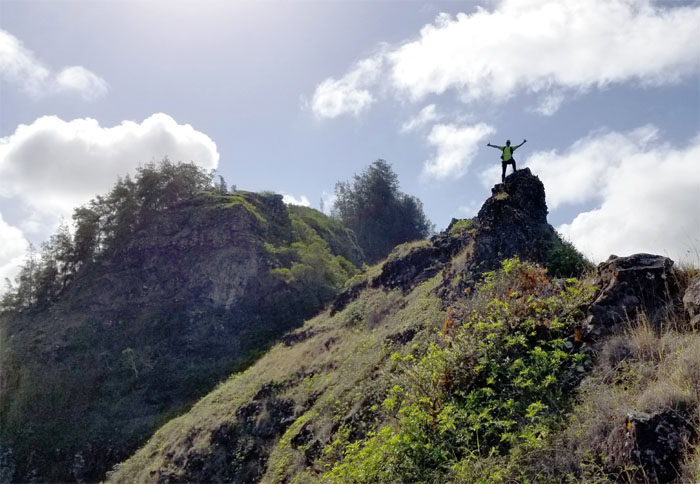
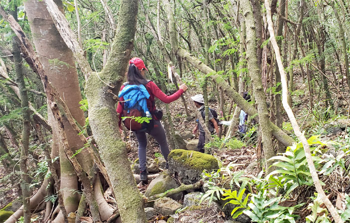
Kamiloiki Ridge
Heading up the dry ridge line. Photo by Ed Valdez.
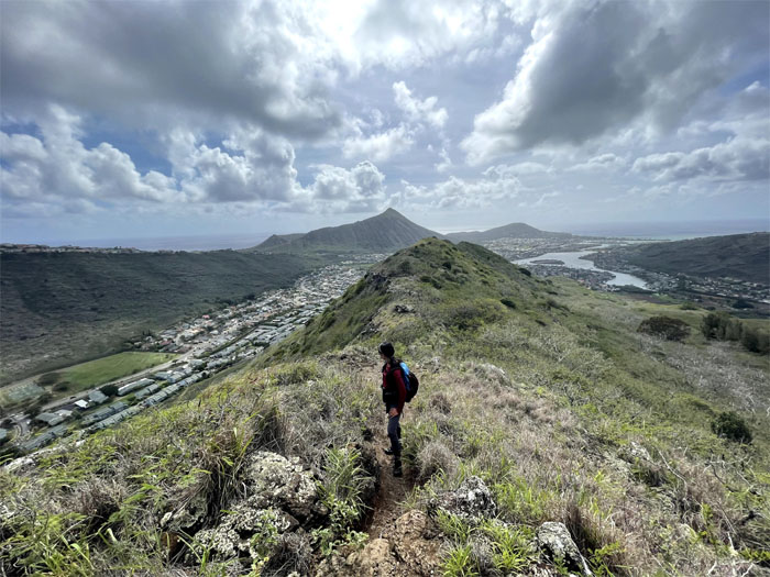
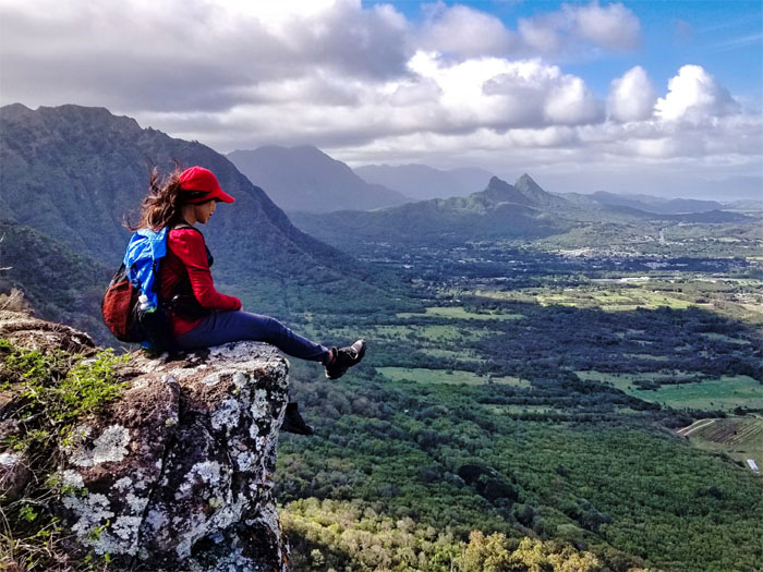
Kamiloiki Ridge
Looking back at Koko Crater and Koko Head, which are interchangeable to most people. Photo by Ed Valdez.
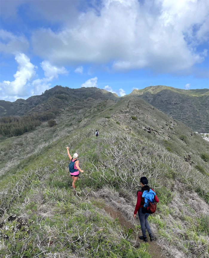
Kamiloiki Ridge
The group continuing their slow and steady climb to the summit. Photo by Aida Gordon.
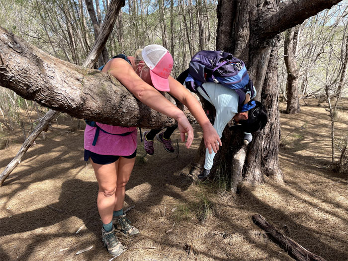
Kamiloiki Ridge
Resting tree. Photo by Ed Valdez.
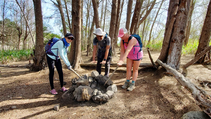
Kamiloiki Ridge
Starting and stirring the imaginary fire pit. Photo by Aida Gordon.
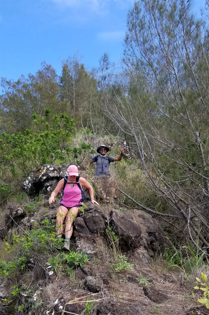
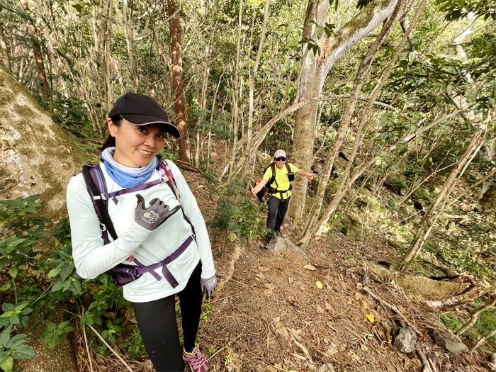
Kamiloiki Ridge
The crew reunited. Less resting and more hiking.
Kamiloiki Ridge
Going up the pine tree corridor. Photo by Aida Gordon.
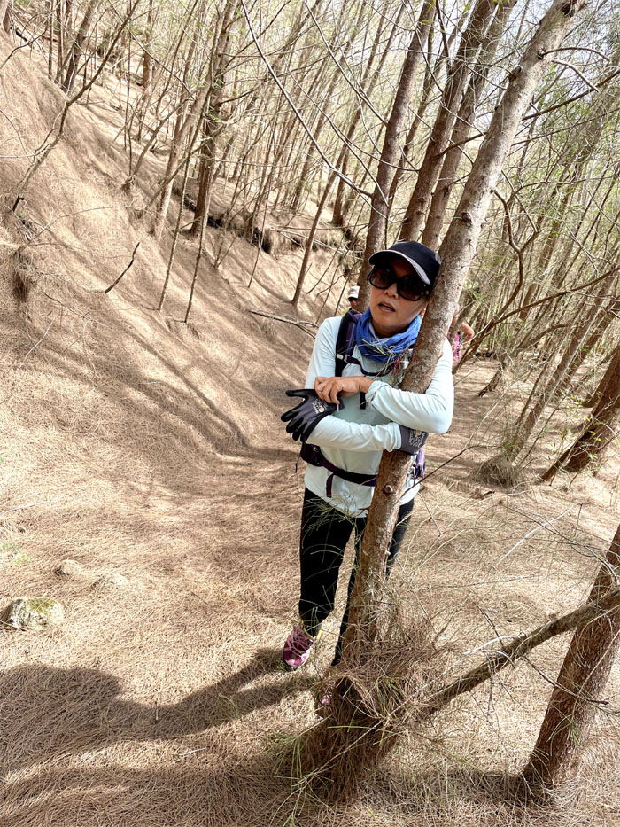
Kamiloiki Ridge
Sally hugging the tree, lest gravity roll her back down. Photo by Ed Valdez.
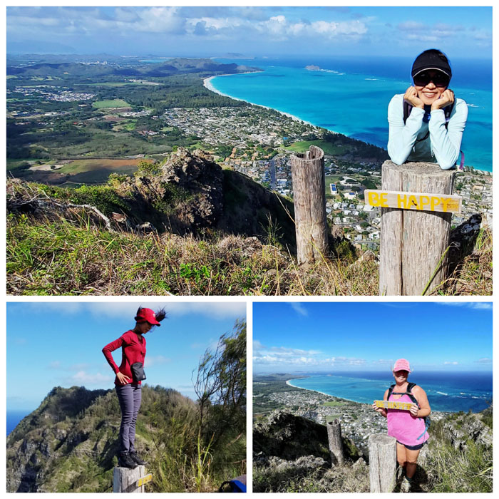
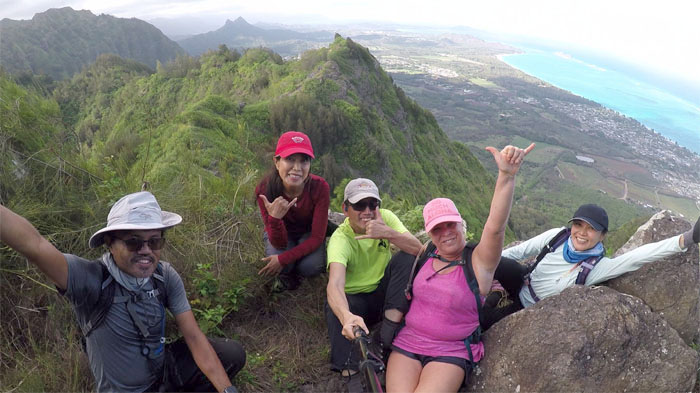
Kamiloiki Summit
We met up with Madeline and Jeremy at the summit. Small world.
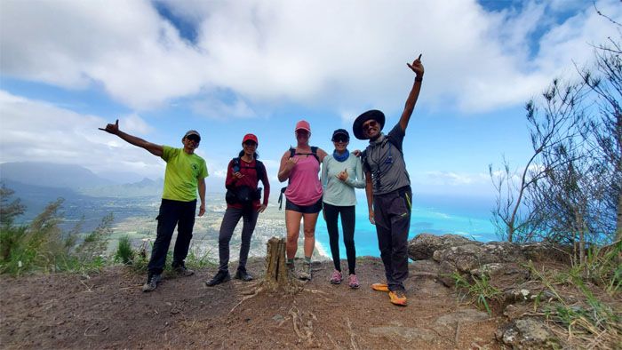
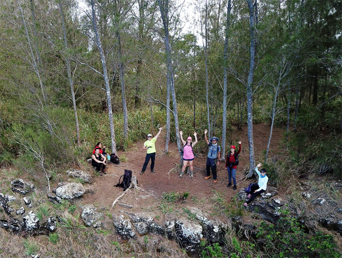
Kamiloiki Summit
Group photo with the wide angle to make our bodies look slightly distorted.
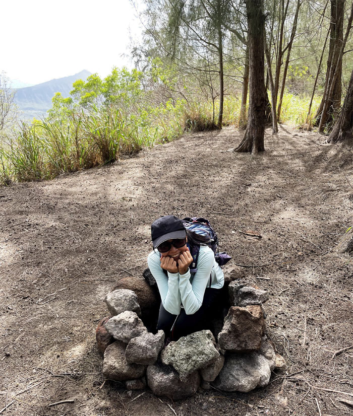
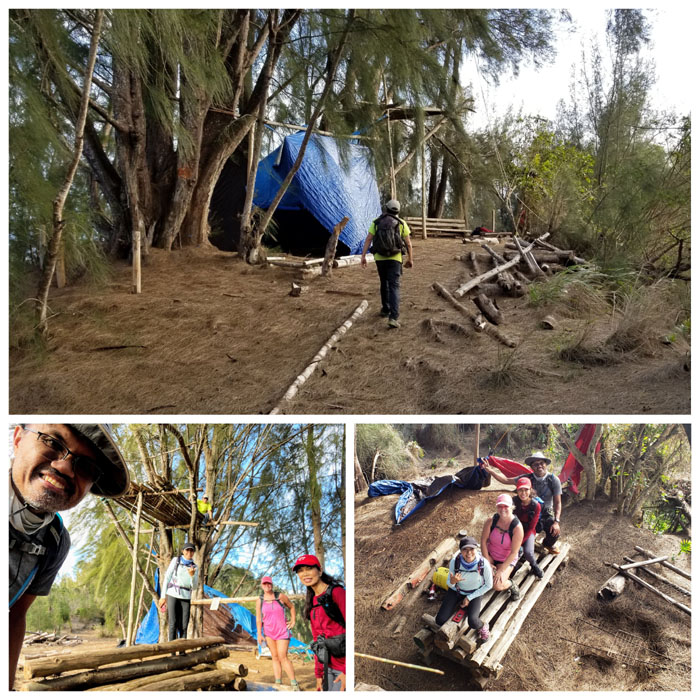
Camp Awesome
Sally as the sacrificial lamb in the illegal fire pit. Photo by Ed Valdez.
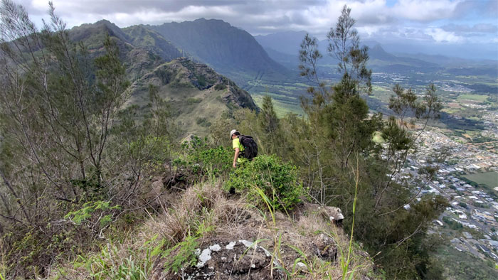
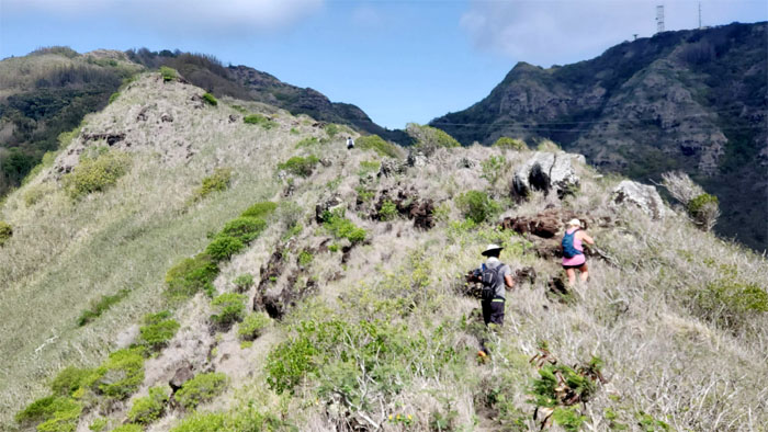
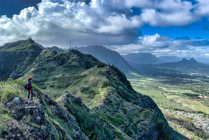
Ko’olau Summit Ridge Trail (KSRT)
We left the summit to traverse on the spine of the Ko’olau Mountains. Photo by Aida Gordon.
KSRT
Allison and Ed climbing down the exposed rock section. Photo by Sally Chow.
KSRT
Sliding down the slippery slope of pine needles. Should have brought our cardboard boxes. Photo by Ed Valdez.
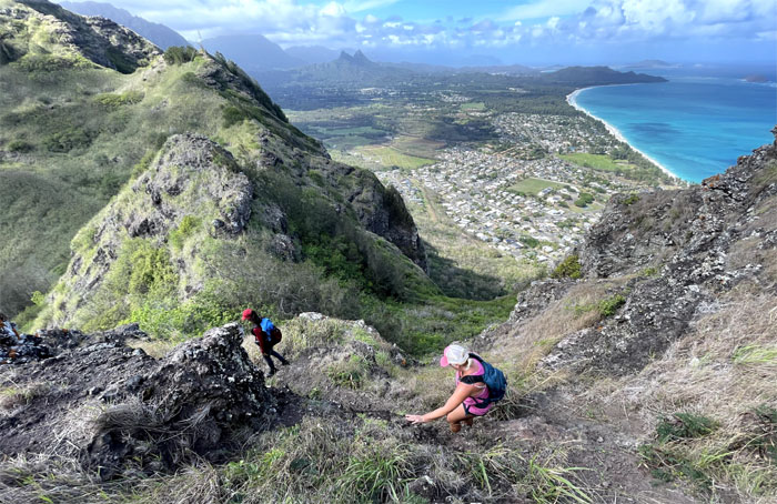
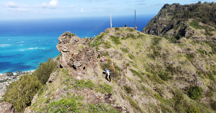
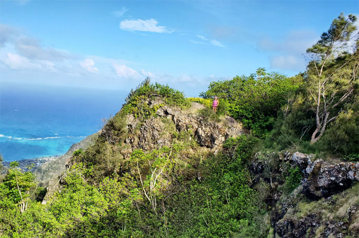
KSRT
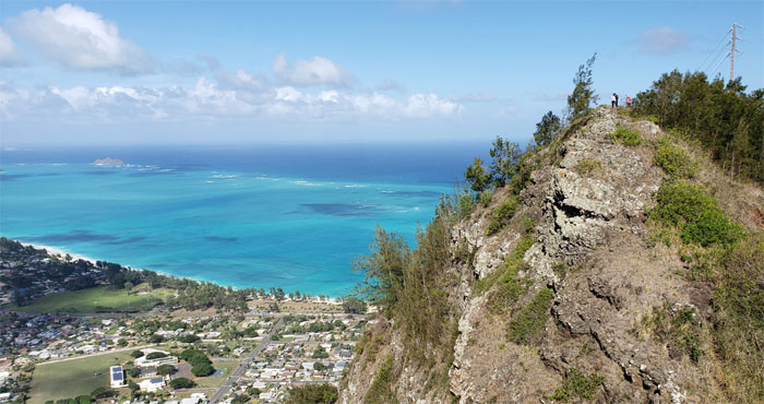
Breaking out onto the exposed ridge line with sweeping views of the Waimanalo coastline. Photo by Allison Banks.
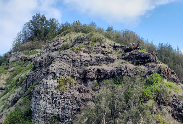
KSRT
Looking back as the group climbs and contours their way around the numerous rock faces dotting the ridge line.
KSRT
Sally climbing down backwards. Photo by Ed Valdez.
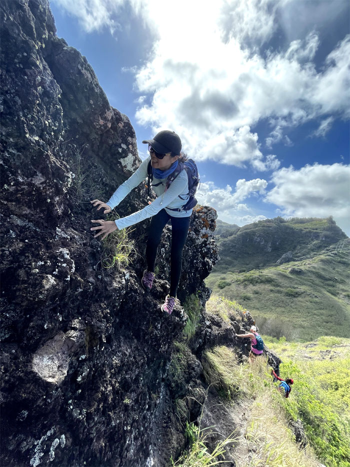
KSRT
Aida and Allison contouring their way around a rock face. Photo by Ed Valdez.
KSRT
Looking back as the group crests over the top of a hump on the ridge line.
Tom-Tom Junction
Ed at the terminus to the trail that leads down into Waimanalo and roaming dogs. Photo by Sally Chow.
Tom-Tom Junction
Only the girls were happy. The boys were just don’t worry.
KSRT
Standing on a photogenic spot. Photo by Sally Chow.
KSRT
The group contouring around the photogenic spot.
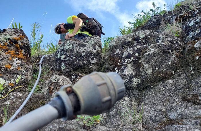
KSRT
Always test the printer cable before using it to climb up. Photo by Aida Gordon.
KSRT
Did you test the cable? Photo by Aida Gordon.
KSRT
Sitting on a photogenic spot. Photo by Sally Chow.
KSRT
Aida on the feathery ferned trail. At least it wasn’t those scratchy uluhe ferns. Photo by Ed Valdez.
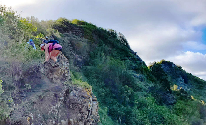
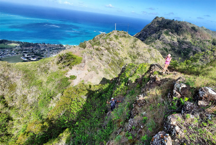
KSRT
Climbing up the exposed ridge line to the summit. Photo by Aida Gordon.
KSRT
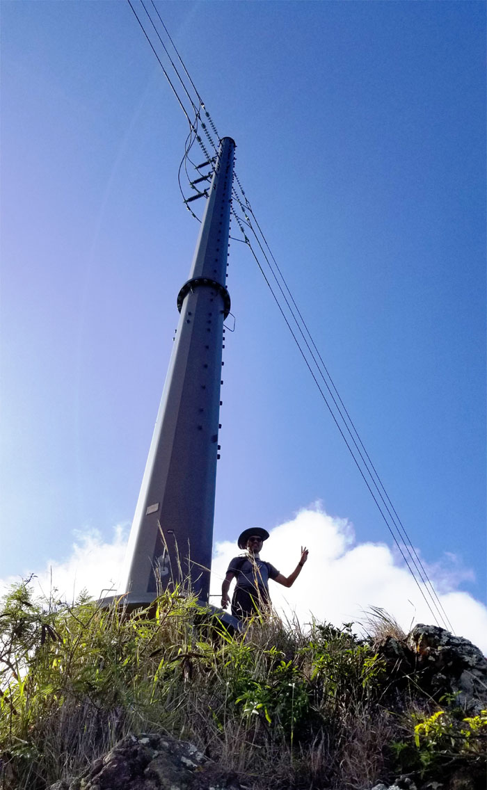
Allison standing near the terminus for Mariners Windward. Photo by Aida Gordon.
Mariners Summit
Tight squeeze on the summit for our group photo. What happened to social distancing?
Mariners Ridge
Heading down the trail that Kamehameha Schools would like us to forget.
Mariners Ridge
We came across what was either a pseudo-Boy Scout Camp or homeless shelter.

Trail
Branching off the main trail as we descended down a spur ridge towards Hahaione Valley. Photo by Aida Gordon.
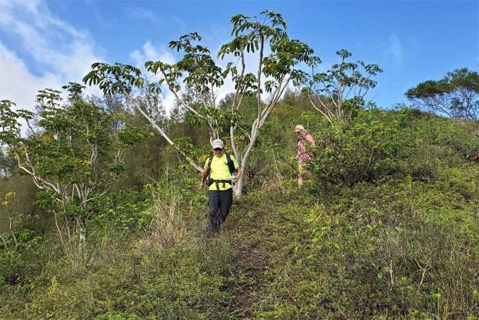
Trail
This trail just goes to prove that once one door closes, another opens. Photo by Aida Gordon.
Trail
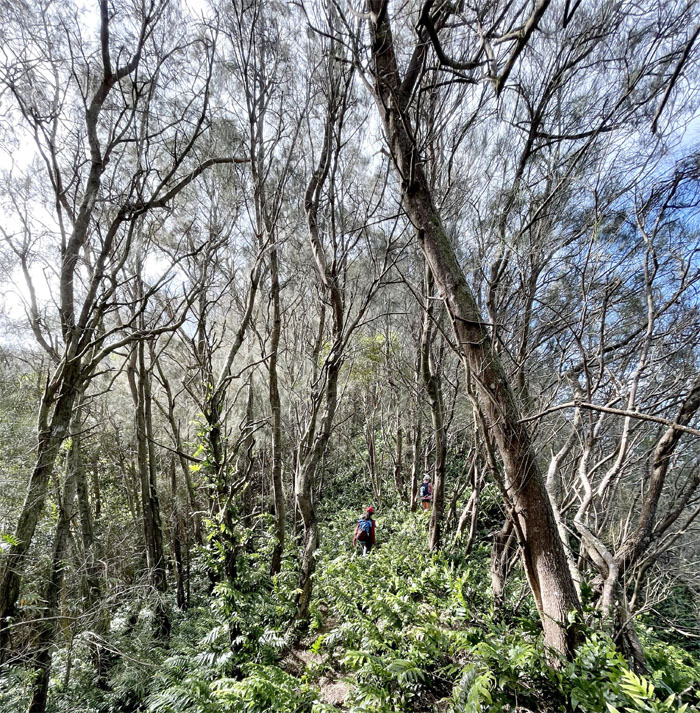
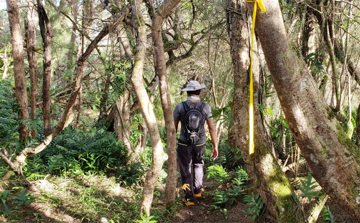
In the thick of the woods trying to find our way out.
Trail
Out of the woods. Photo by Ed Valdez.
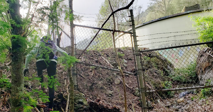
Trail
Contouring around the water tank that looked like it had a fresh coat of graffiti on it.
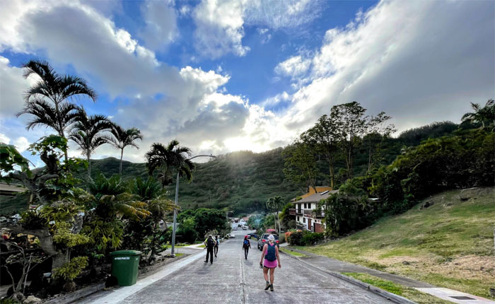
All pau
Walking downhill to our cars. Well, one had to walk uphill on behalf of the others. You can always have too much hiking. Photo by Ed Valdez.
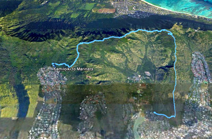
GPS Tracks
Our end of the year hike covered 4.75 miles with good company. No fireworks or post hike meal today. Happy New Year to all my friends that have kept me company in the mountains and looking forward to new adventures next year.
Note: I have been made aware that some hikers have been using my blog as a hiking guide and getting lost on the trails. Please note that this blog was made to document the hike for the crew(s) that did it. That is why some of my comments will seem to have no relevance or meaning to anybody outside of the crew(s) that hiked that trail. My blog was never meant as a hiking guide, so please do not treat it as such. If you find inspiration and entertainment from these hikes, that is more than enough. If you plan on replicating these hikes, do so in the knowledge that you should do your own research accordingly as trail conditions, access, legalities and so forth are constantly in flux. What was current today is most likely yesterdays news. Please be prepared to accept any risks and responsibilities on your own as you should know your own limitations, experience and abilities before you even set foot on a trail, as even the “simplest” or “easiest” of trails can present potential pitfalls for even the most “experienced” hikers.
{ 6 comments… read them below or add one }
Happy 2021 to you, too! Here’s to many more adventures. Thanks for a great 2020…we made the most of it despite the pandemic. Thanks for organizing a short and picturesque hike for NYE!
Aloha Aida,
Thanks for tagging along and your help on all the hikes. HNY!
Mahalo
Aloha, My friend and I had wanted to hike Kamiloiki Ridge. As a girl , we d enter to the left of the Heiau, but there is a sign now that says No Hiking. It’s so depressing. As a young person I ve been all over these ridges, and now in my 50s (my second childhood), many of the access points are off limits????. What do you mean by “bypassed the heiau” ? Is there another trailhead somewhere. And do you have to go all the way to Hahaione? There’s a gate now blocking the Mariners Ridge trailhead????. (A bit anxious about Chevy Hill.). Anyway, I know you said you weren’t a hiking guide, so no worries if you don’t want to ans. Perhaps a tip on who we might contact to get information via State of Hawai’i approved information., or a formal hiking club we might join? Thank you. Your photos are inspiring. Best, Suzanne Egan
Aloha Suzanne,
Yes, it’s such a shame that more and more hiking trails are becoming off limits. There is another way in the back of the Hawaii Kai neighborhood. Yes the gate was installed by Bishop Estate many years ago, claiming it was a dangerous trail, which is a joke as it was the easiest trail by far to reach the Ko’olau Summit. I emailed you some general directions. You’re welcome to come hike with us.
Mahalo
Where is the alternate trailhead located? I was thinking about going with some friends but don’t want to mess around in the Heiau. Thanks!
Aloha James,
The other way up the ridge is through the farm side, but you may have to tread carefully as there may be some issues there as well.
Mahalo