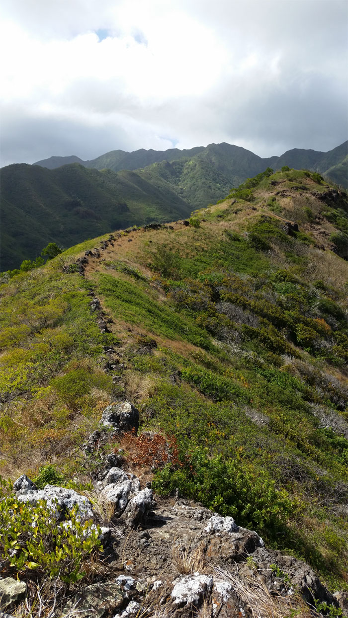
We hiked a ridge that may be under threat from urban development. Hike today. Gone tomorrow. Photo by Matt Vidaurri.
Glenn, Matt, Ryan, Thessa, and Tom joined me today. A friendly owner let us through his property to gain access to the ridge.
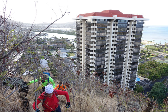
Henry Kaiser’s swamp to suburban vision. Build it and they will live here.
Most people take the State ridge trail to get to the summit, we took the ridge trail.
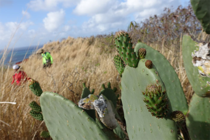
Passed a bunch of budding cacti.
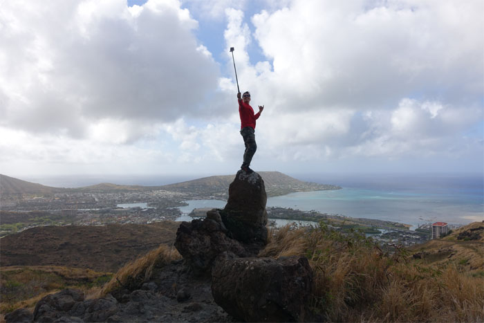
The moai of Kuli’ou’ou. Rain showers passed over the valley. We dug out our raingear. Rain showers stopped.
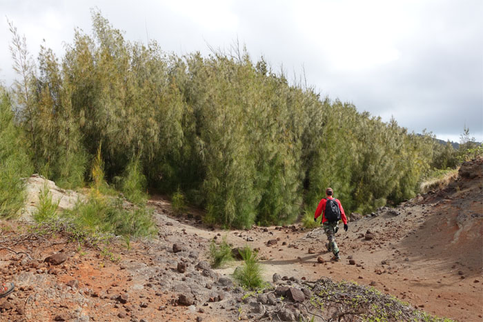
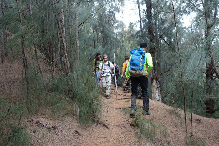
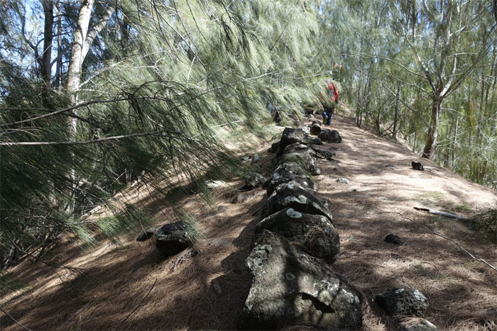
We soon left the exposed ridge to head into a grove of ironwood pine trees.
Let your butts do the walking.
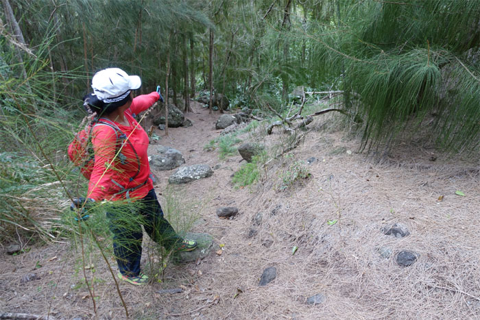
Thessa pointing to the trail that bypasses the switchbacks from the bottom.
Passing the lost and found trail.
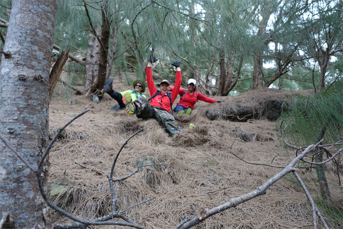
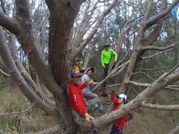
A tree with multiple branches favored itself to our collective photo. Photo by Matt Vidaurri.
The ridge soon connected to the bustling State trail.
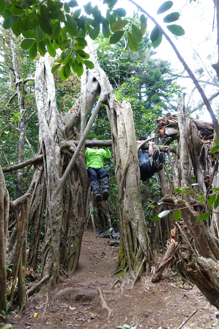
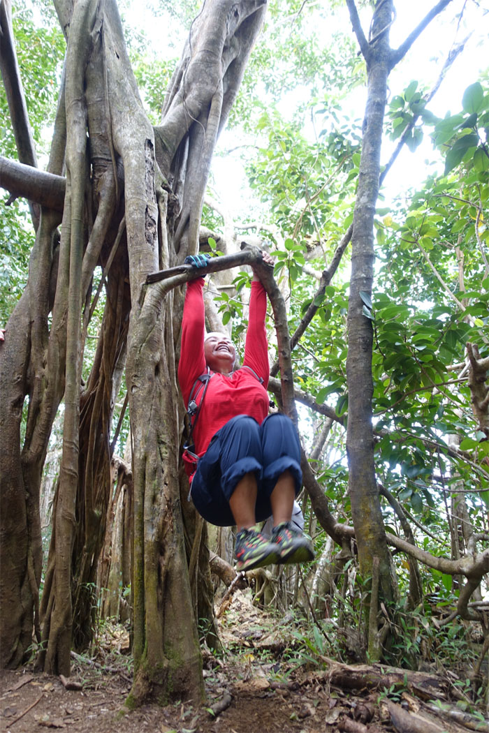
Pull up versus chin up contest.
Push. Oh. Pull.
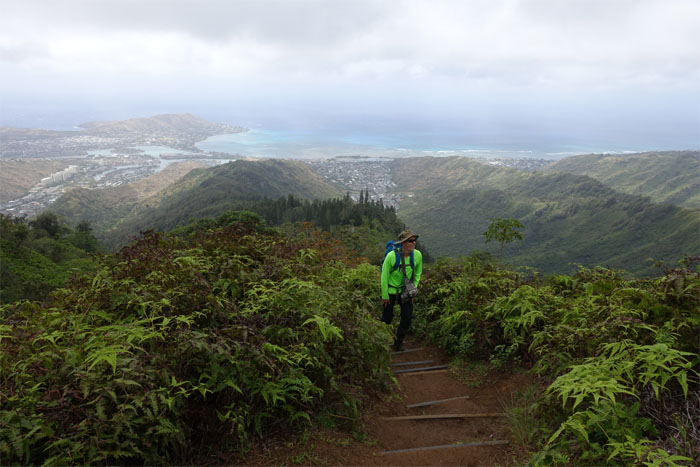
Tom coming up the trail.
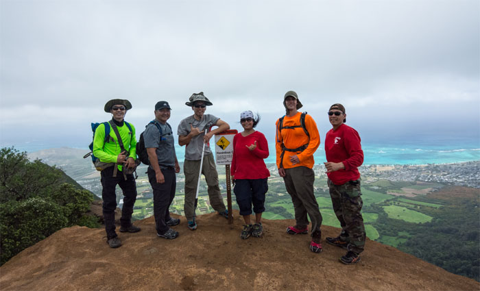
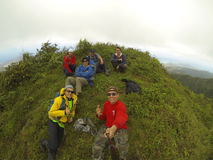
Group photo at the windy 2,028′ summit left to right: Tom, Glenn, myself, Thessa, Ryan and Matt. Photo by Tom Engle.
Click here for the larger image.
Matt wishing he had a parachute.
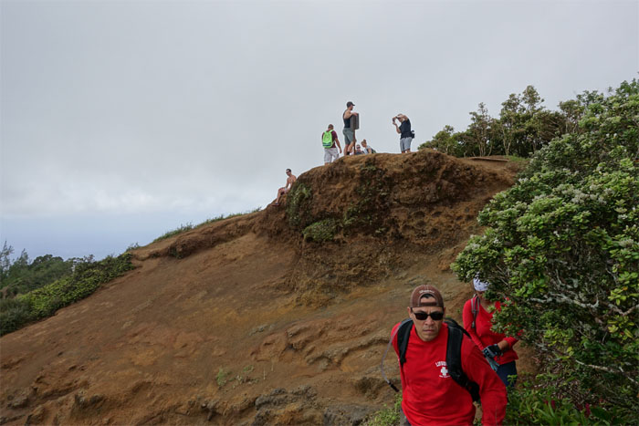
Leaving the crowded summit.
We left the ridge for a short crossover on the Ko’olau Summit Ridge Trail.
One step forward. Two steps back. Nobody gets too far like that. This kind of hike can never last.
The right claw needs to come out of hibernation.
We dropped down below the ridgeline to get a little relief from the winds. Like trade lunch? Photo by Ryan Meyer.
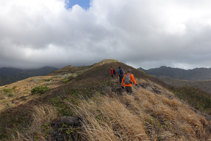
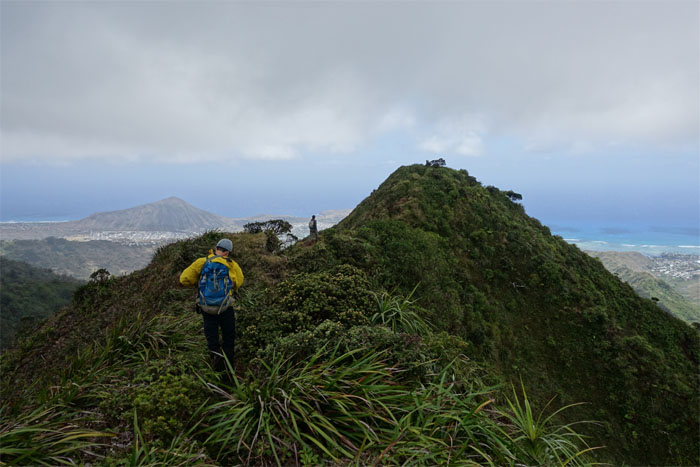
Resuming our windy hike to Pu’u o Kona.
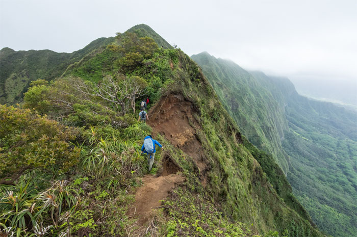
Carefully making our way across. Photo by Tom Engle.
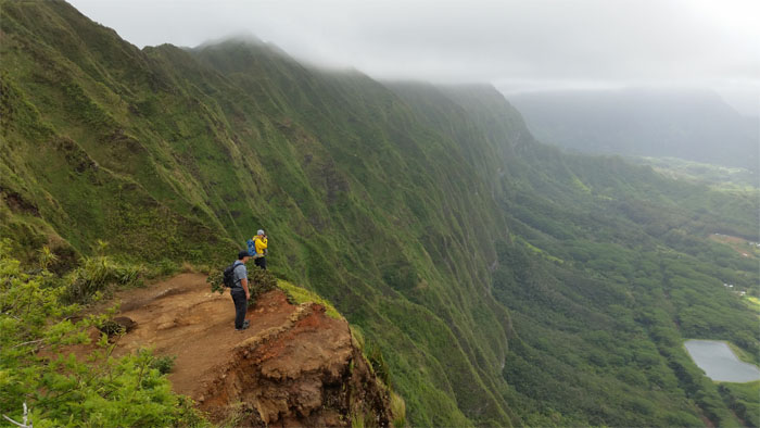
Views of Waimanalo and a particular Windward ridge of interest. Photo by Ryan Meyer.
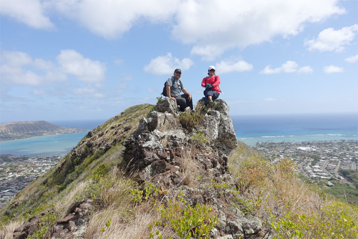
Group photo at the 2,200′ summit. Photo by Matt Vidaurri.
It’s all downhill from here.
Leaving the summit behind.
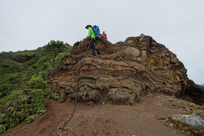
Tom making his way down with the help of a *gasp* rope.
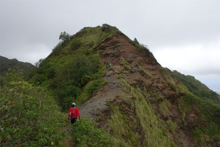
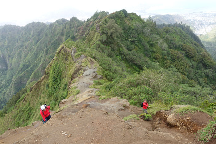
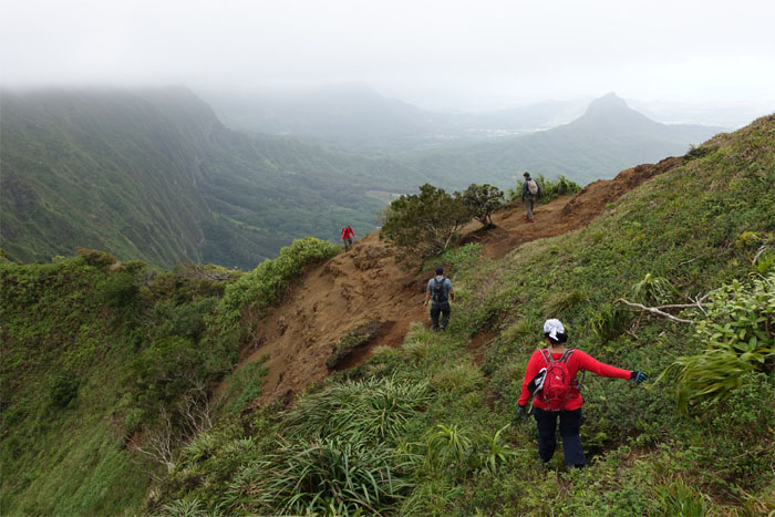
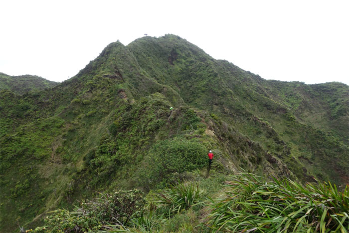
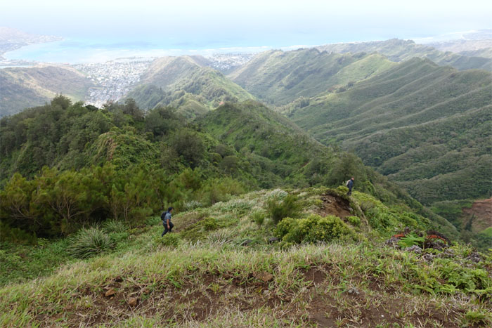
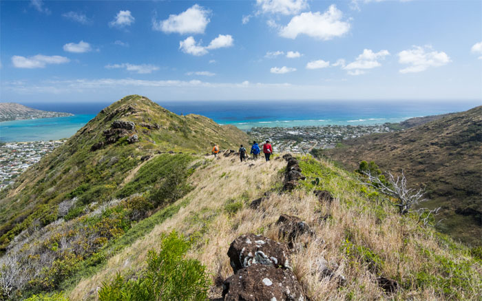
Up a ridge. Down a ridge.
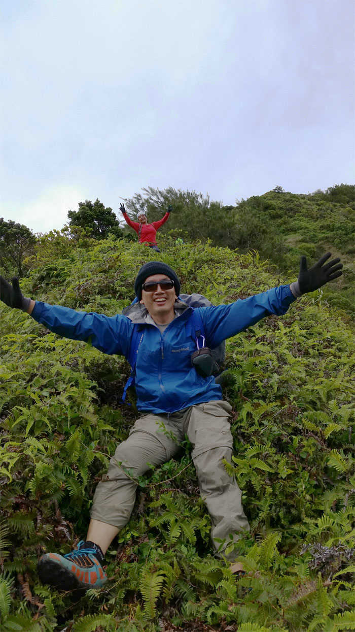
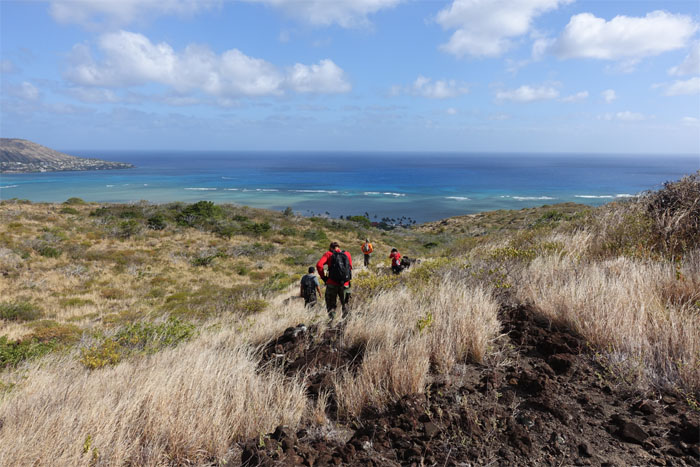
Letting gravity do all the work. Photo by Matt Vidaurri.
Bushwhacking ahead.
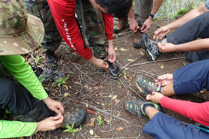
Double slip knot. It really works. No, I’m not buying dinner.
A month earlier, Ryan and I had bushwhacked up from the bottom of the ridge to just shy of the summit. Never start late, never fight gravity and never underestimate Mother Nature.
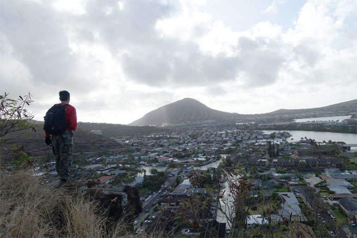
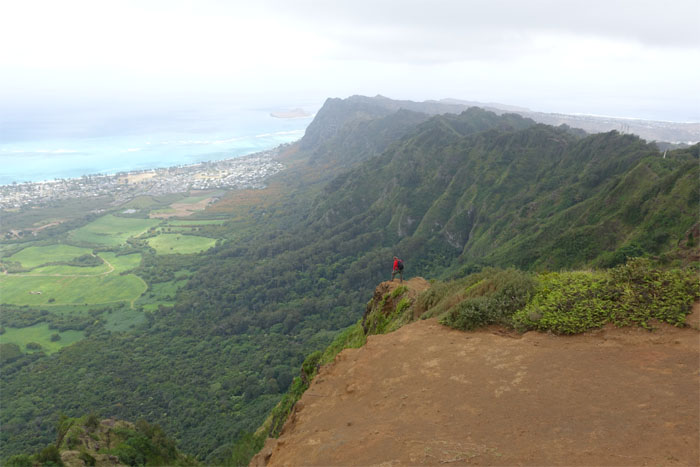
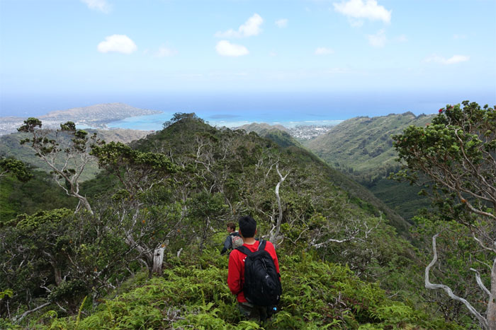
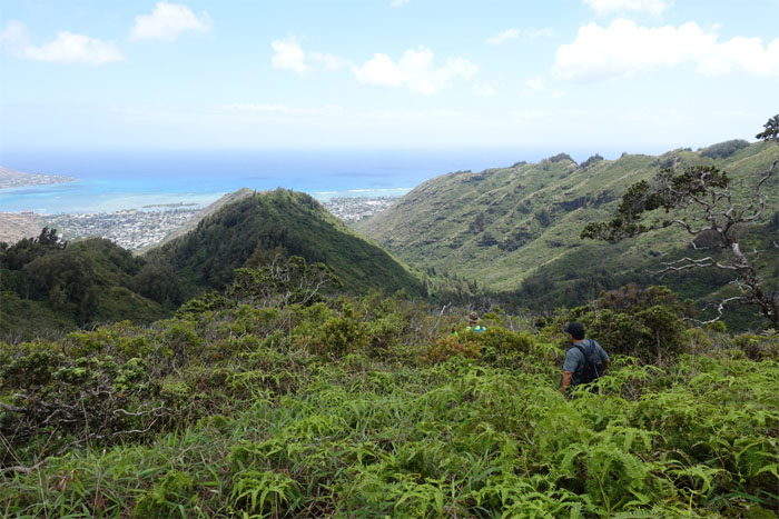
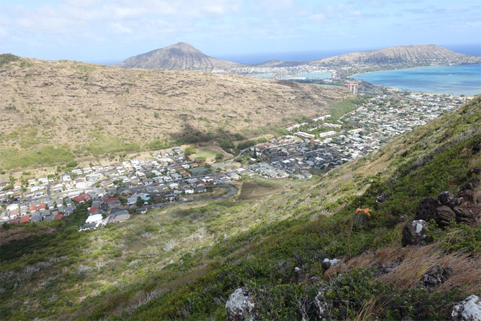
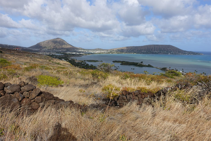
Checking out the views of Kuli’ou’ou Valley.
We skirted the pockets of thick trees that blocked our forward progress.
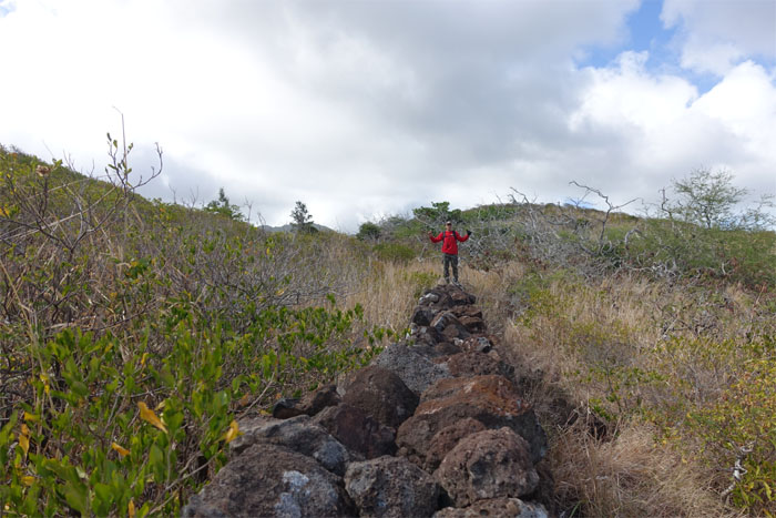
Old Hawaiian property line that once ran from the Ko’olau summit to the edge of the reef in the ocean.
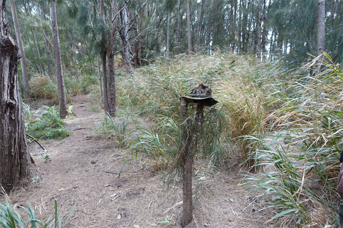
Anybody see a black Sony camera? Anybody?
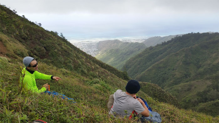
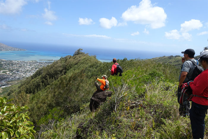
Sometimes you have to just sit down and enjoy the view.
The group following the ridge down. Photo by Tom Engle.
The lower part of the ridge was particularly thick with loose rocks and small hardy trees that forced us to stay to the left of the rock wall.
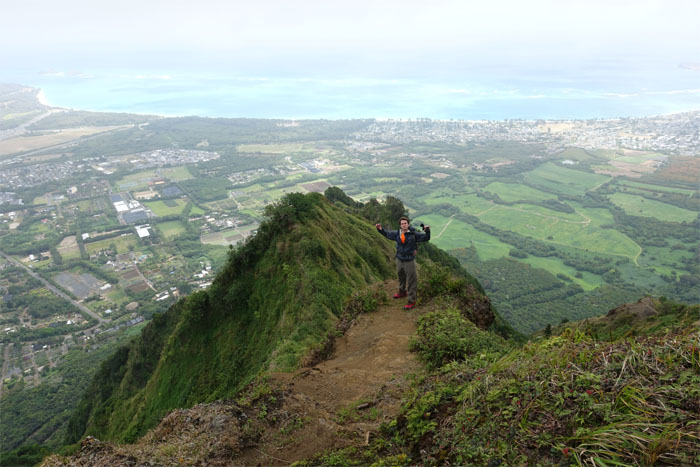
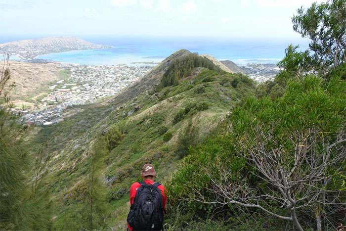
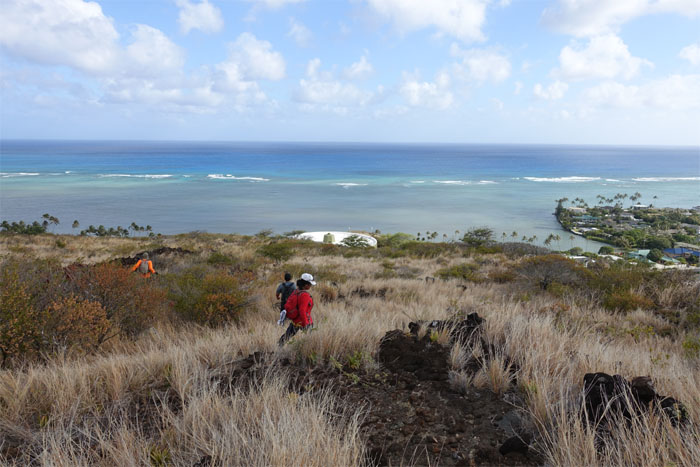
Looking at the possible future site of another high-end luxury gated community. Another affordable housing project that Hawaii so desperately needs.
A breach in the rock wall allowed us passage to the other side of the ridge.
The end of our hot journey was in sight. It felt like we were hiking in Waianae.
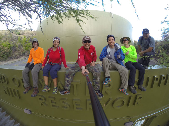
Fun hike with a fun crew. Photo by Matt Vidaurri.
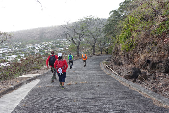
The crew walking out the paved road.
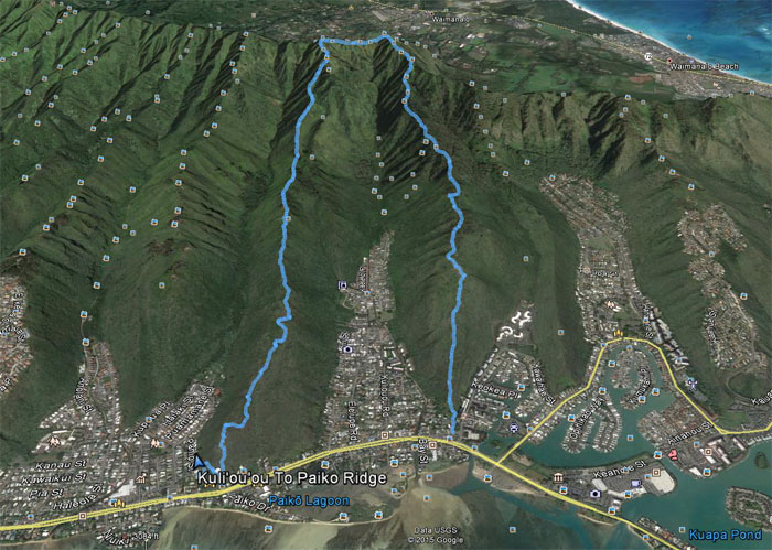
The windy, hot and rocky hike covered 6.92 miles. Post hike meal at Outback. Same booth. Sniff?


{ 0 comments… add one now }