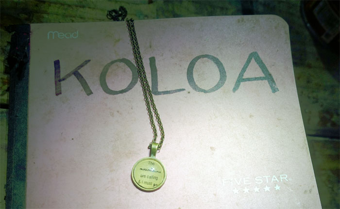
Rainy weather diverted us from one section of the Ko’olaus to another section. That’s how Gen, Jose, Justin, Thessa and myself found ourselves in Laie. Thanks to Matt who woke up early to ferry us to the other side. For naught. Back to sleep.
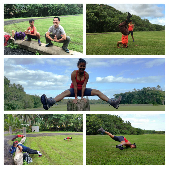
We had some time to join together as we waited for Thessa.
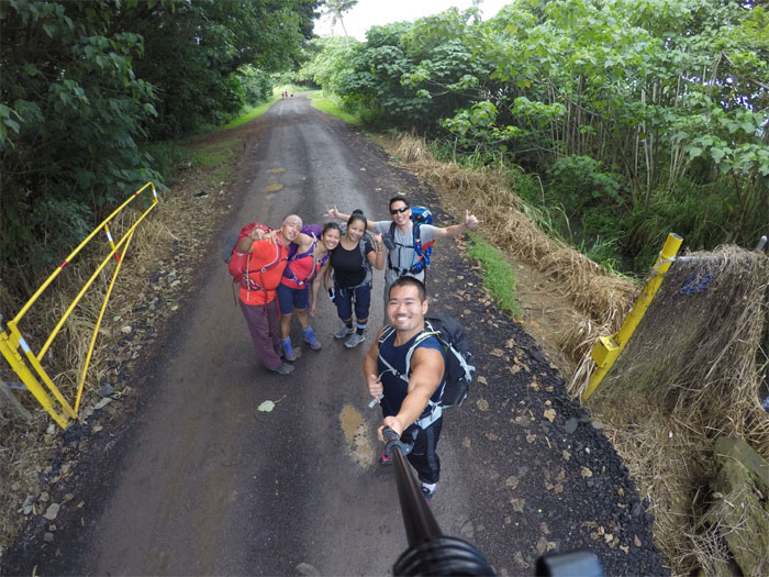
Bodily functions taken care of. Alcohol transferred. Ready to hike. Photo by Justin Hirako.
Click here for the larger image.
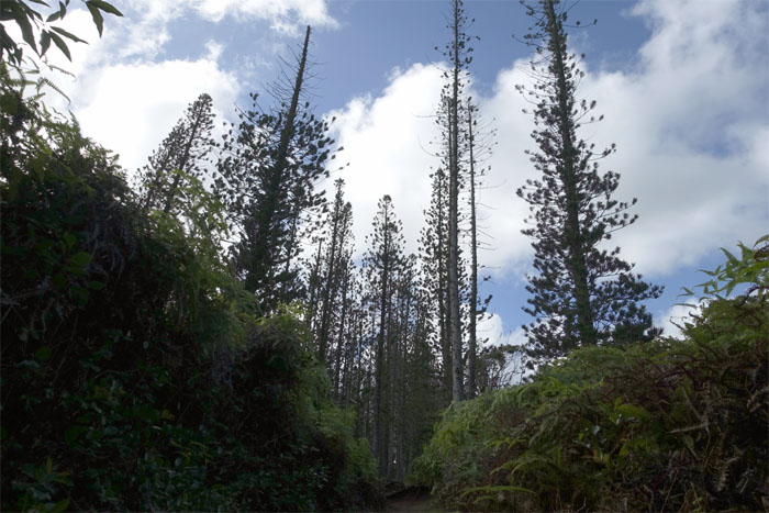
Norfolk or Cook Pine – Which is it?
Leaving the shaded corridors of pine and strawberry guava trees and mud behind.
Passing the swimming hole and twin waterfalls fed by Kahawainui Stream.
The rest of the hike to the summit was on a graded trail through native forest.
These trenches were dug back in WW2 and were to be filled with explosives to block the trail, in case of a Japanese land invasion.
The Wahiawa Camp of the Civilian Conservation Corps (CCC) finished Wailele Trail in 1935. After WW2, the trail became known as the Laie Trail.
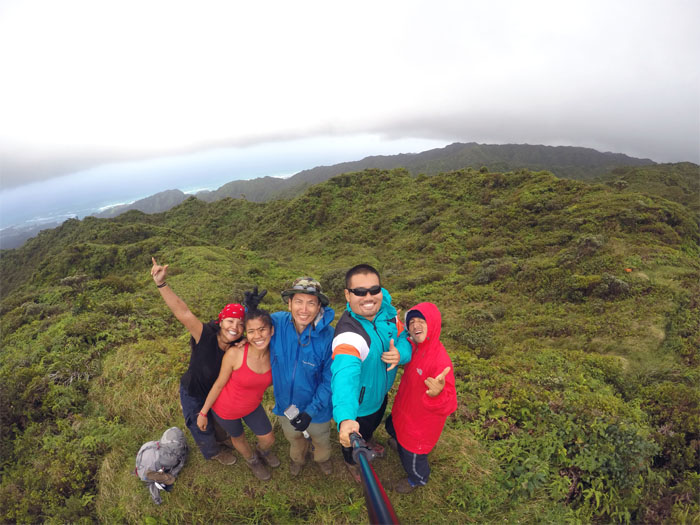
Group photo by Justin Hirako, left to right: Thessa, Gen, myself, Justin and Jose.
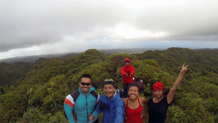
Another group photo at the windy 2,240′ top looking out towards the Waianae Mountain Range.
I don’t smoke … ( pause ) … tobacco.
Talk of past and desired relationships forced us off the summit and back on the trail.
The crew climbing out of the bowl shaped depression.
Our first contact with the infamous KST fence. Love it or hate it.
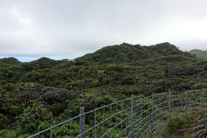
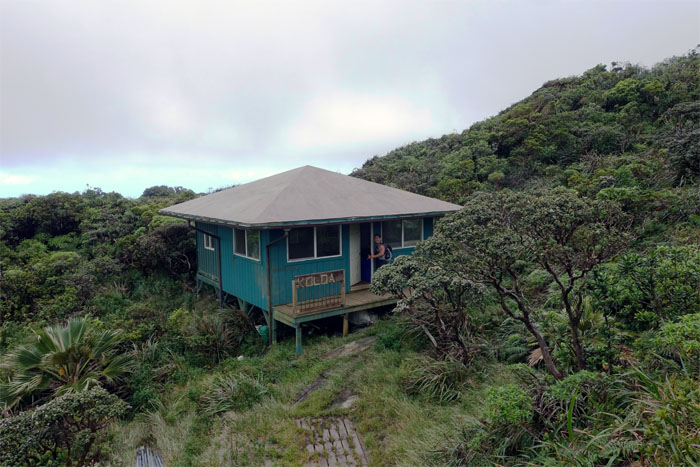
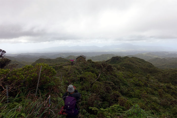
The fence soon lead us straight to the cabin. Just like bread crumbs.
I smell no sh*t. I see no sh*t. It was pretty nasty. Photo by Jose Luis Delaki.
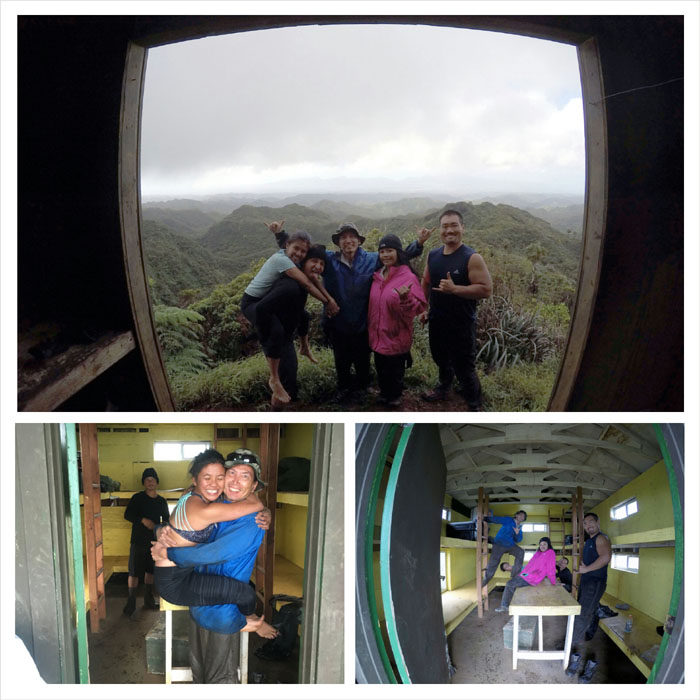
Justin opening the door to his first cabin visit. His cabin cherry was broken.
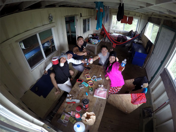
Our original plan was to push towards the Army Cabin and overnight there. Given the distance left and the looming rain clouds, we decided to stay put. Photo by Justin Hirako.
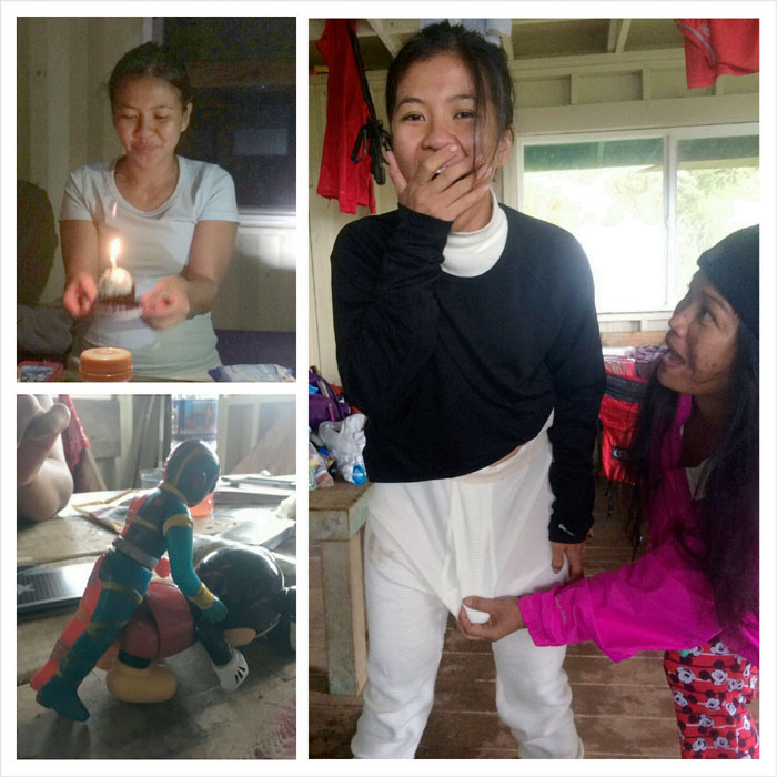
Birthday cupcake. Is that a spam musubi in your underwear or are you just glad to see me? Abused animated characters. Well at least one was abused.
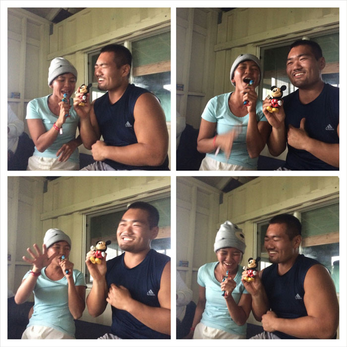
Somebody please take Kikaida and Mickey Mouse away from them! Just blame the alcohol laced hot chocolate.
“Twas the rainy and windy night on the Ko’olaus, when all through the cabin; rustling space blankets were stirring under snug and restless hikers; when there arose such a calamitous clatter, as our collective slumber was pierced by riotous screaming and a body falling; I struggled from my bunk to see what was the matter; a f*cking mouse pitter – pattered by my face was the colorful expletive that was offered.
Group photo of us checking out from the best KST cabin.
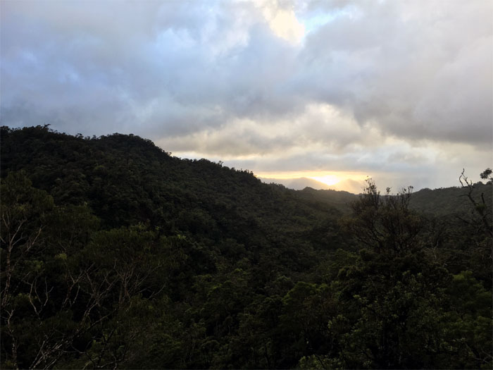
It was a chilly morning to catch the cloudy sunrise. Photo by Justin Hirako.
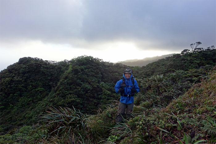
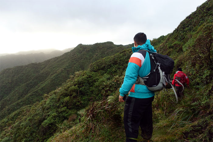
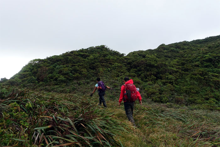
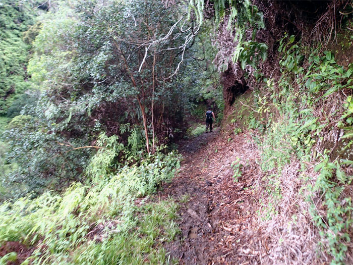
Making our way on the Windward side of the trail.
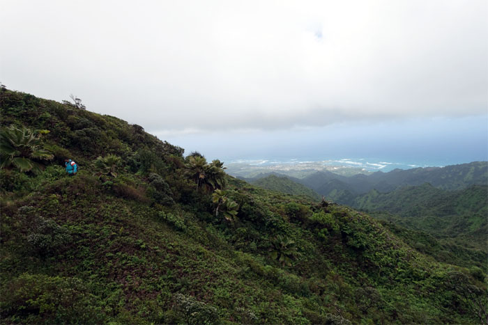
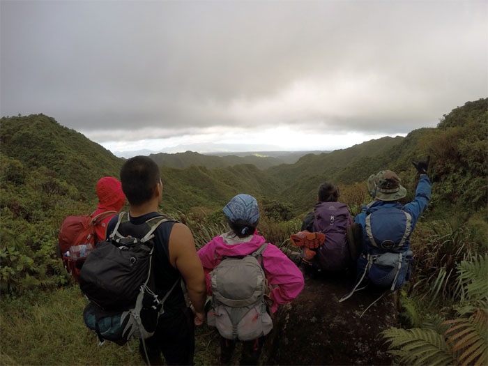
Sometimes you just have to stop and soak in the Leeward views. Photo by Justin Hirako.
Switching back to the Windward side.
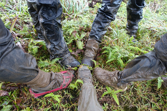
Taking stock of our muddy footwear. The worst was yet to come.
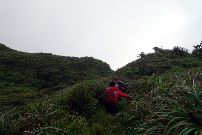
Crossing over to the sheltered and overgrown Leeward side.
Switching back to the Windward side. Back and forth. Up and down.
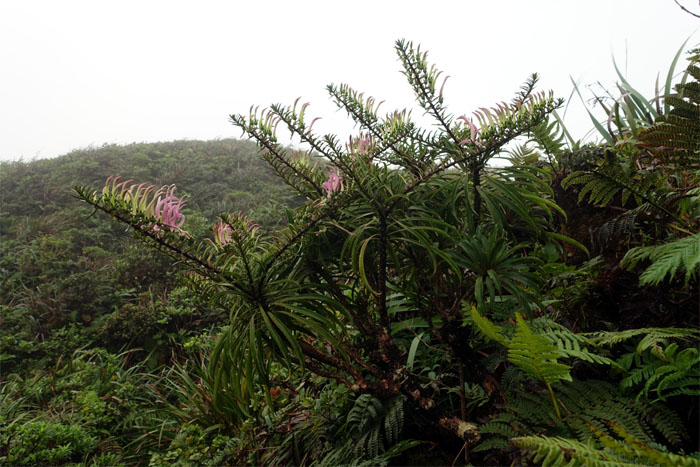
Glimpse of a rare native plant in bloom.
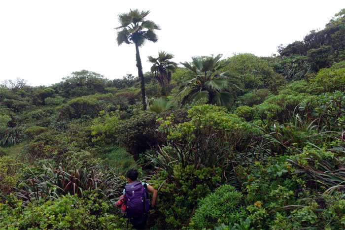
Passing through a small stand of native loulou palm trees.
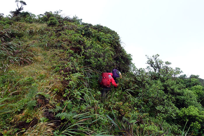
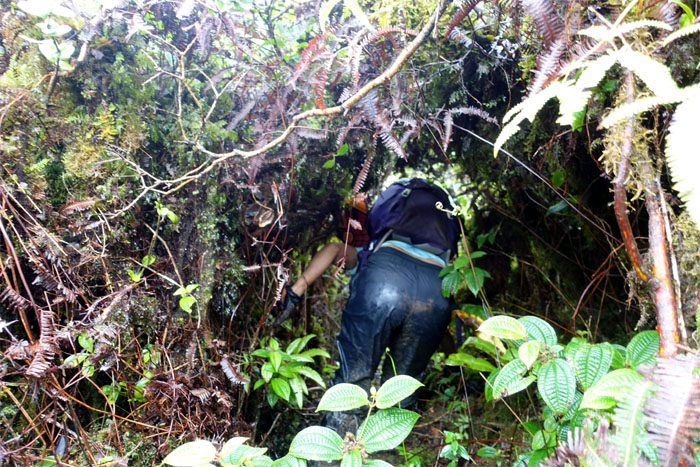
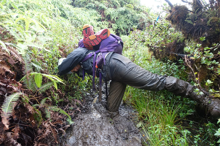
Burrowing through some overgrowth.
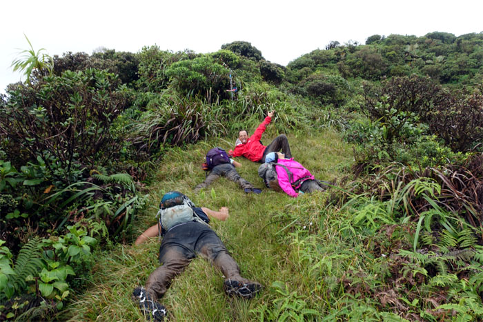
Let’s take a break, shall we?
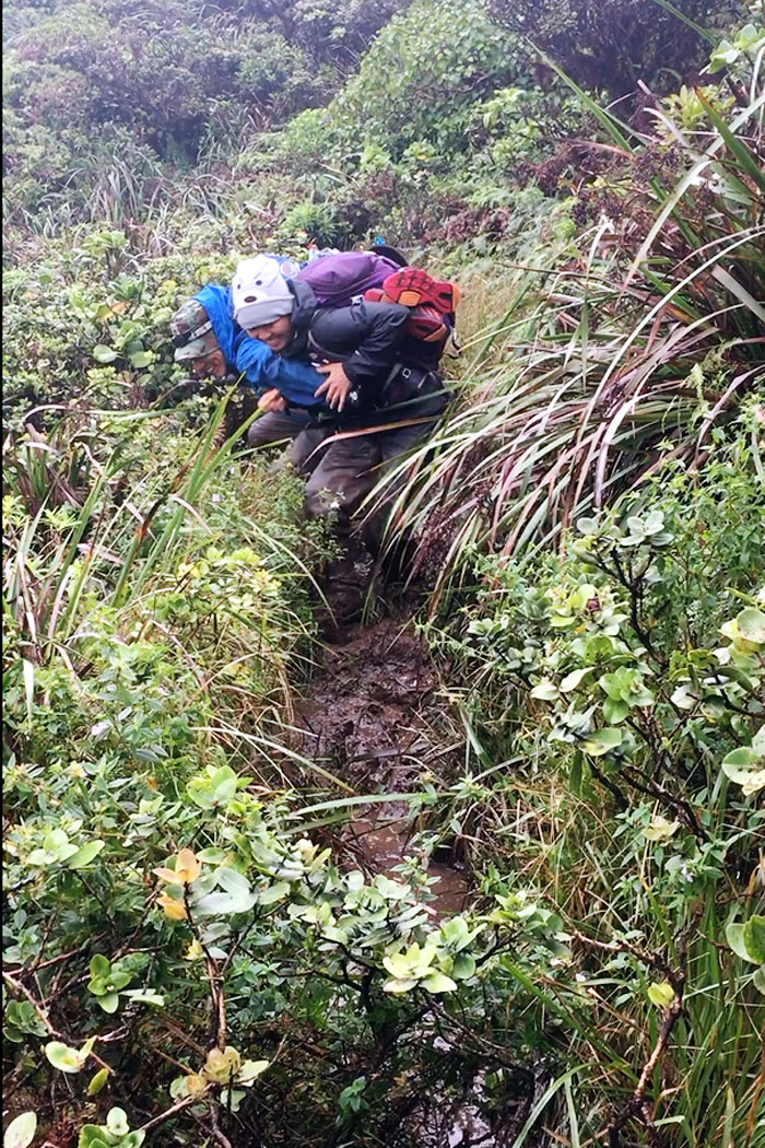
When push comes to shove. Photo by Justin Hirako.
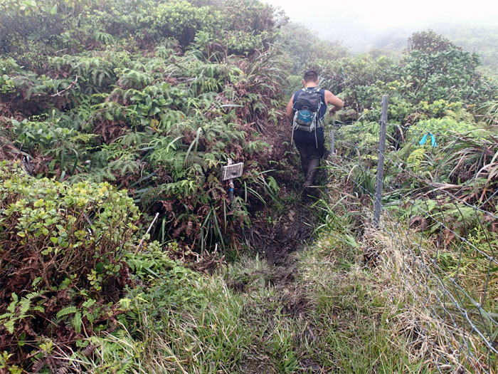
Back on the fence line again.
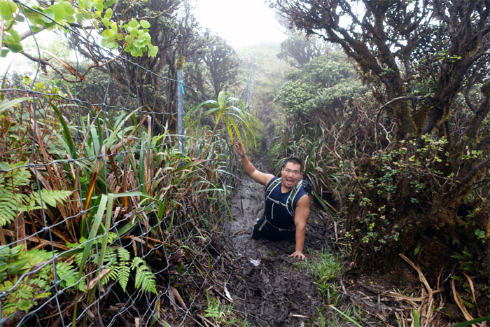
Knee deep. Not that bad.
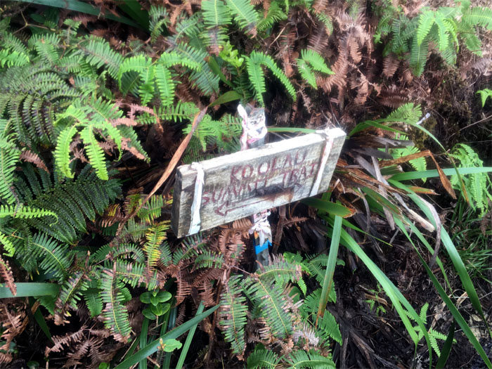
Left? Right? Photo by Justin Hirako.
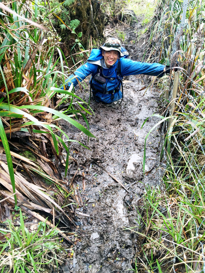
Waist deep. Seriously? Photo by Genesaret Balladares.
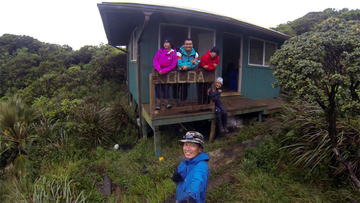
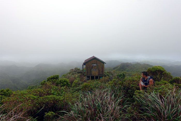
We soon approached the wooden cabin, that had mountain views and a kitchen sink!
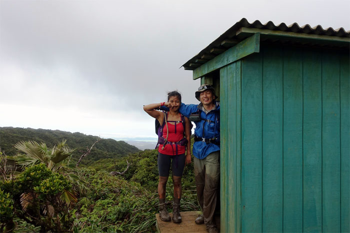
Hello and goodbye. Photos by Justin Hirako.
We left the cabin behind along with Gen and Jose who decided to stay another night in the mountains.
Justin wanted to see for himself if the mud was really that deep. It was.
Back on the KST.
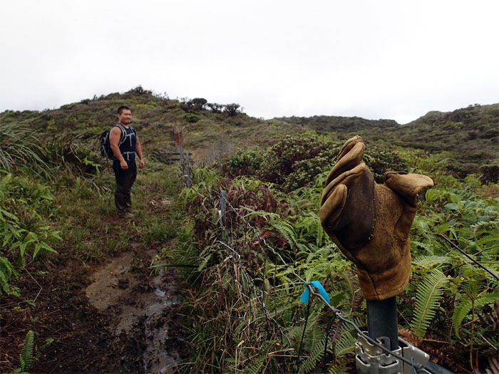
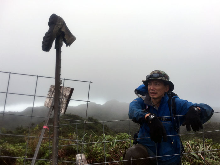
Goodwill was alive and well in the mountains. Need a spare glove?
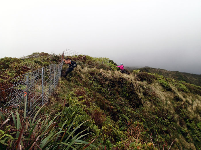
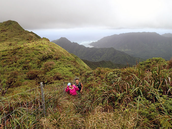
Justin and Thessa making their way along the fence line.
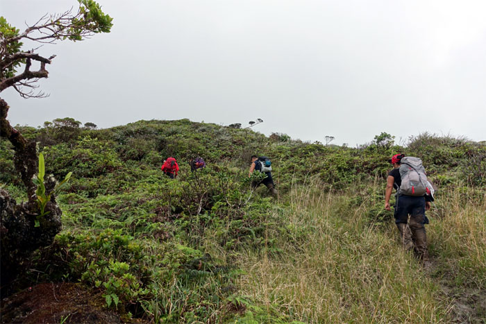
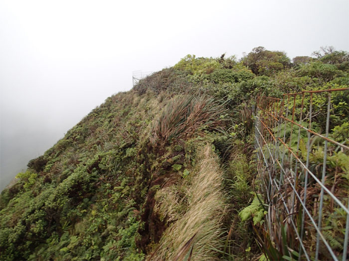
Looking ahead as the fence line wrapped around the ridge and disappeared into the clouds.
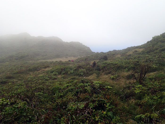
Justin and Thessa making their way across the open field to re-connect to the KST.
Watching the clouds rolling into the mountains. Photo by Justin Hirako.
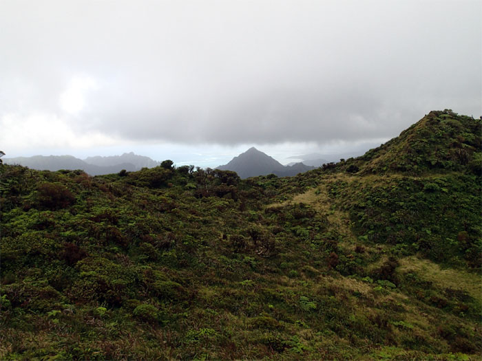
Pu’u Ohulehule rising from the floor of Kahana Valley.
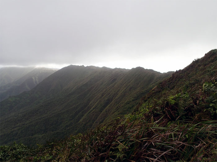
Looking out towards the contour trail carved below the ridgeline of the Ko’olau Mountains.
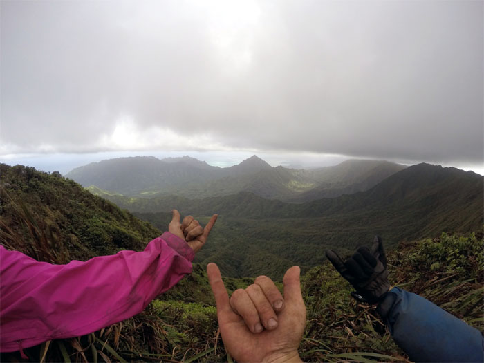
Sharing some aloha on the trail. Photo by Justin Hirako.
Are we there yet? Not quite.
We met Dave Fahrenwald who had hiked in from Poamoho and was headed towards the Army Cabin. Photo by Justin Hirako.
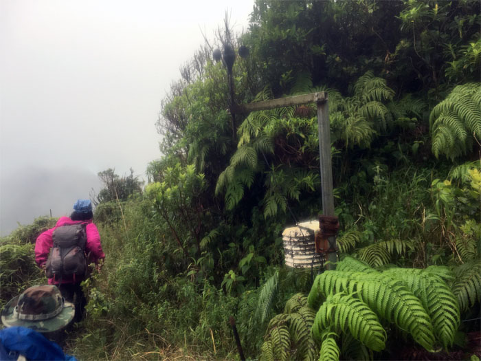
Passing the wind gauge station. We picked up our pace as we knew the summit was close.
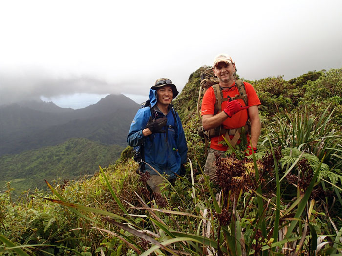
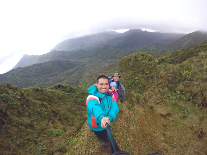
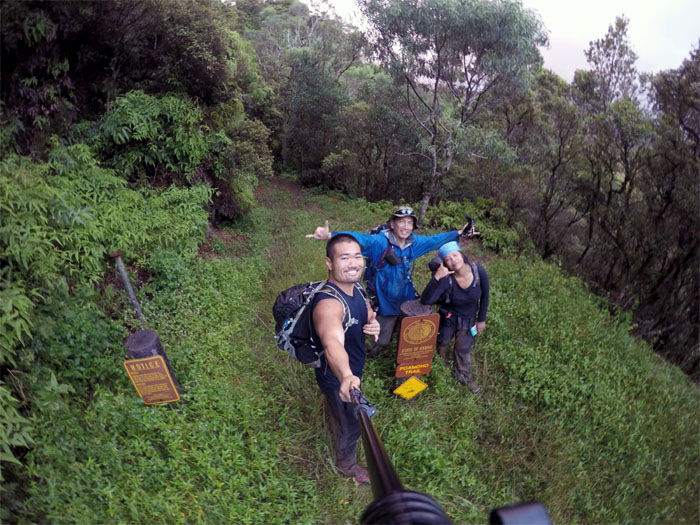
Group photo by Justin Hirako at the 2,520′ summit. Hey, we actually got a view!
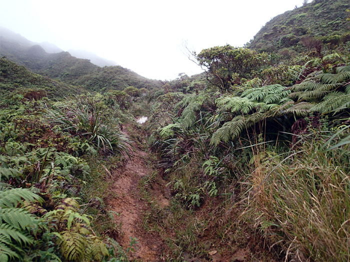
Time and weather did not look favorable for a cabin visit, so we headed down the muddy trail.
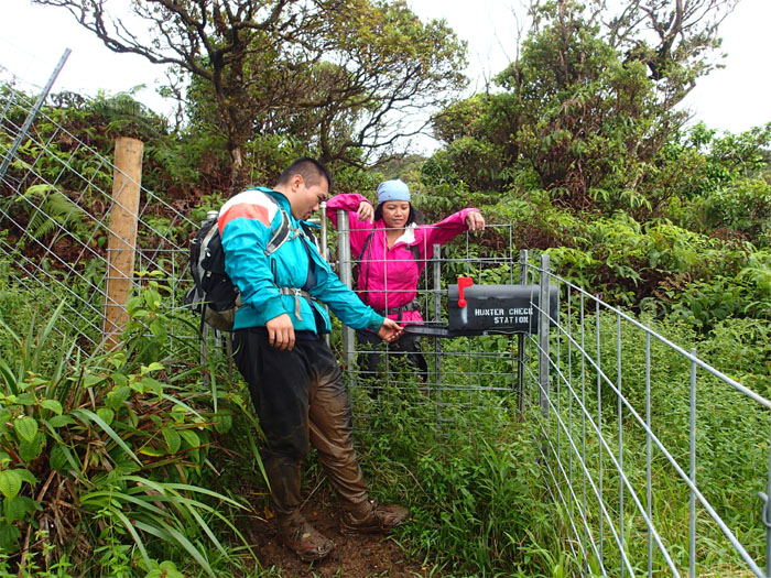
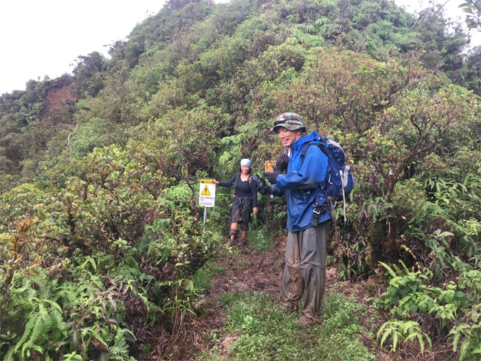
No mail for hikers, just hunters.
All smiles now. The rest of the trail was graded and downhill. Photo by Justin Hirako.
Justin trotting down the trail.
Photo by Justin Hirako.
Trail meets road. Photo by Justin Hirako.
If I kiss you, will you turn into a 4×4?
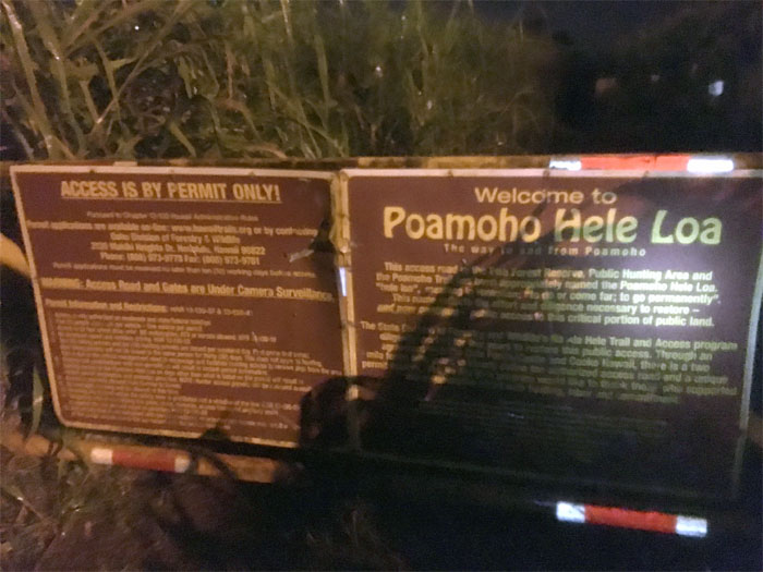
What’s better than walking down a six mile jeep road? In the dark. In pouring rain. Yeah. That’s the ticket. The one way ticket.
Shout out to Chris Bautista who picked us up and drove us to Laie and Moanalua Valley to retrieve our cars. Post hike meal at Zippy’s. Justin appreciated the extra wait for his food. Made it more tasty.
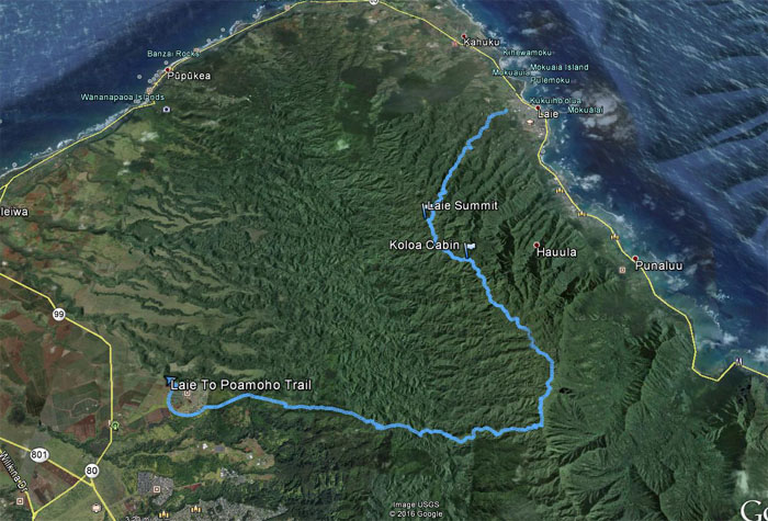
The two day cabin hike covered 23.05 miles over and through the rugged and wild Northern Ko’olaus. Fantastic fun filled weekend with great friends.




{ 2 comments… read them below or add one }
Kenji,
Can you give me some info on the Koloa Cabin? Is it free to stay? BTW, I love your posts bro….
Rob
Aloha Rob,
Thanks. Koloa Cabin from what I understand is run by the OARNP, so it’s primary use is for the workers out on the trails. However, I know hikers use it when it’s not being used. But I heard it’s now boarded and closed due to rats. Sorry.
Mahalo