Mari and I took a page from Stuart Balls “The Hikers Guide to O’ahu” for our Sunday hike. The directions were spot on as we have never set foot on what can be a confusing trail system with multiple junctions.
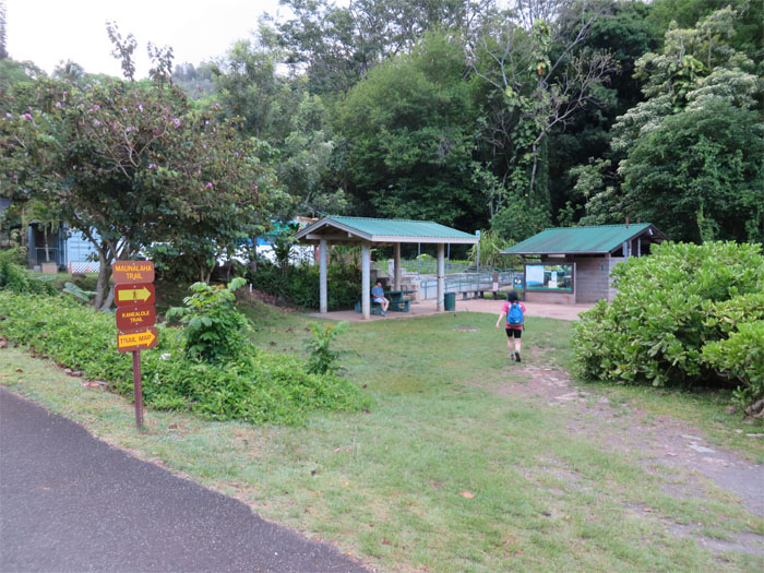
Cars and hikers were streaming into the Maikiki Forest Recreation Area when we pulled into the lot. A bathroom, washing area and trail information are located at the trailhead. How convenient. Not used to these amenities on a hike.
We took a left at the first junction where native plants marked with descriptive signs lined the trail.
The soothing sounds of Kanealole stream kept us company for a short stretch.
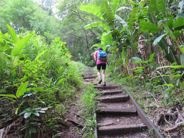
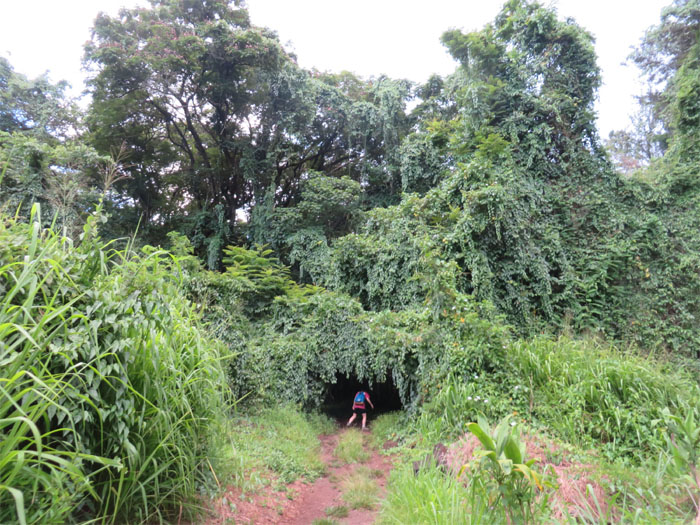
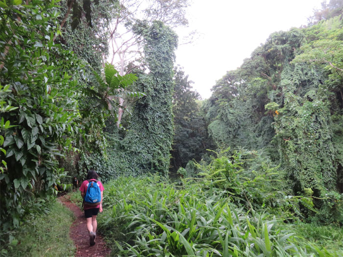
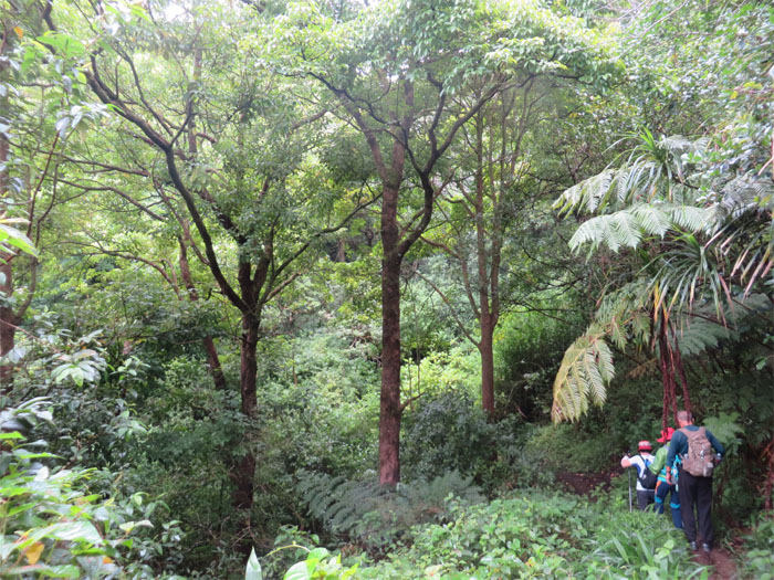
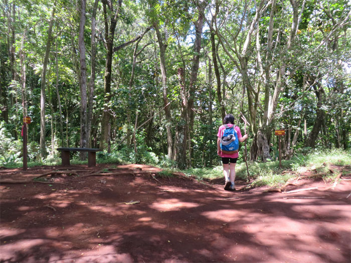
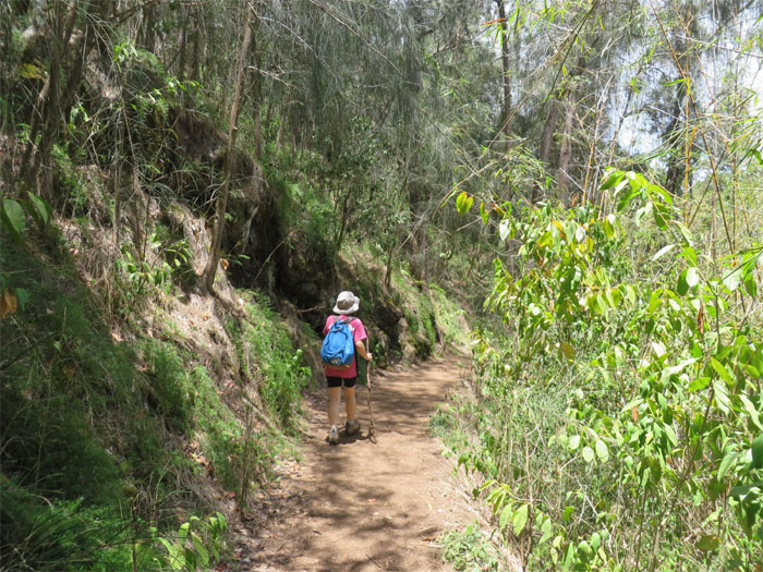
Mari heading deeper into the forest.
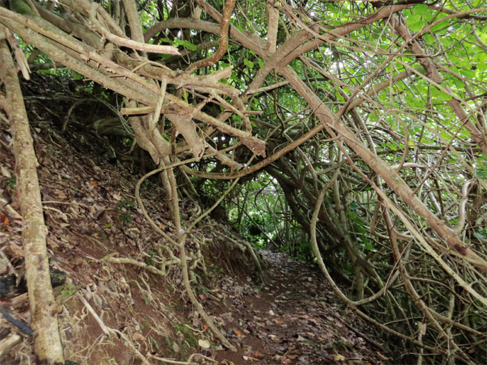
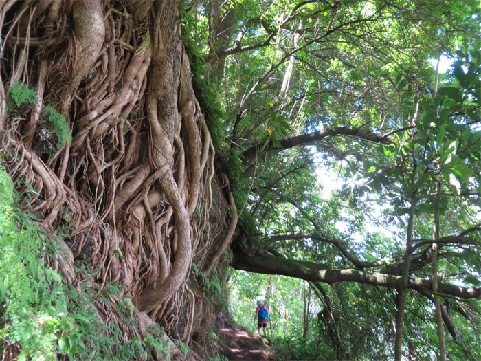
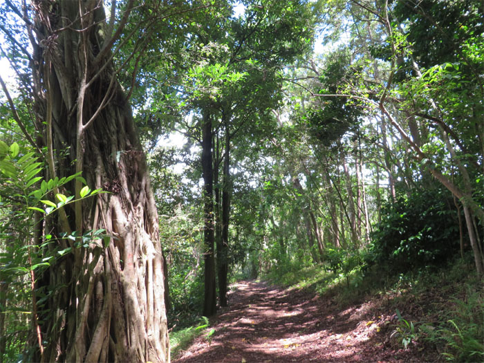
Climbing and clinging vines covered the trees.
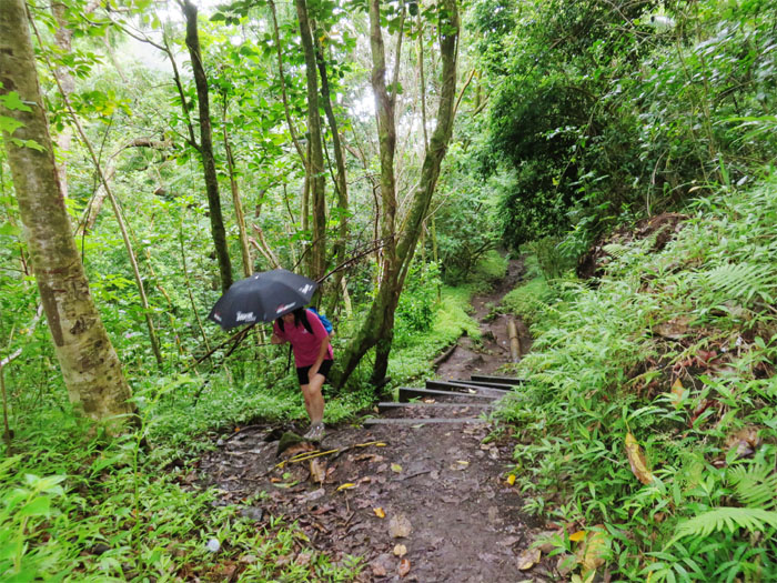
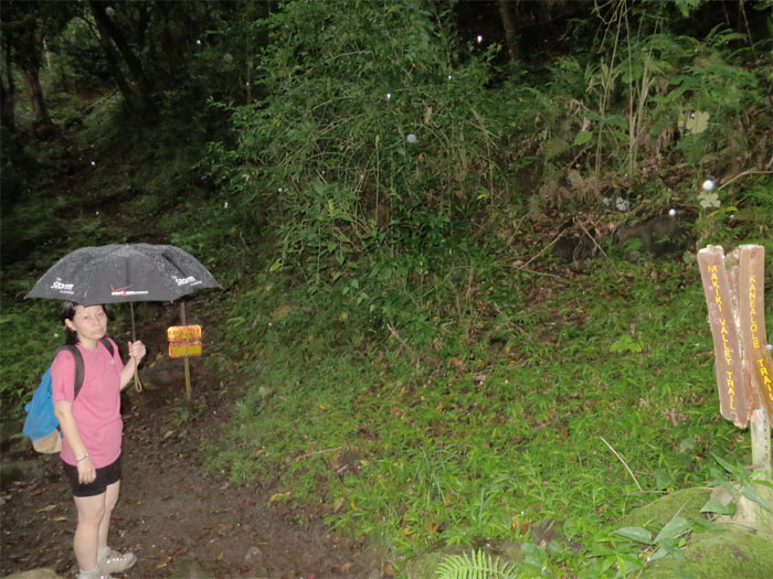
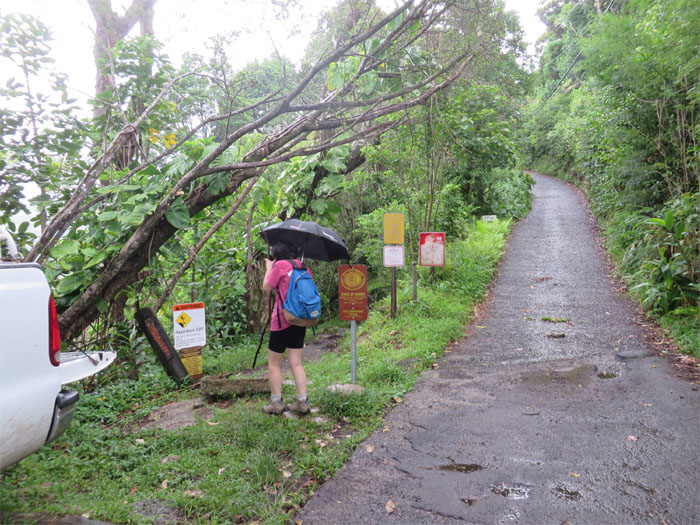
Who brings an umbrella to the hike? At least it’s the “Storm” umbrella.
We climbed up the trail to the left after we let a pack of hunting dogs come down. Something else was coming down. Rain.
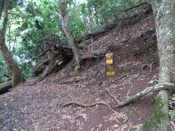
It was mango season. No mangoes for us, as the decomposing fruits littered and scented the trail. Fat bugs. We climbed a couple steep switchbacks and took a right at the junction.
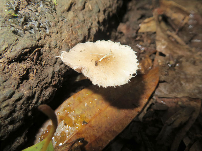
Mountain mushrooms feeding off the many fallen trees.
Pockets of hau trees sprinkled the trail along with the tree canopy, provided spotty cover from the rain.
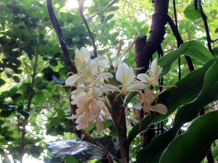
White ginger flowers.
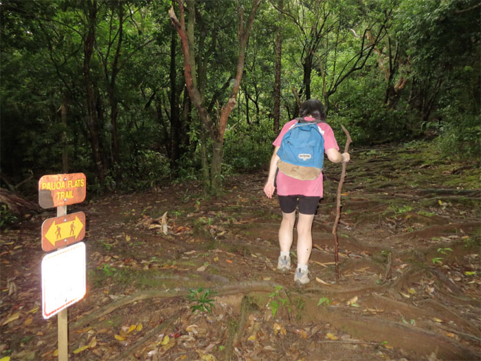
Look both ways before crossing. Have hiking stick, will hike.
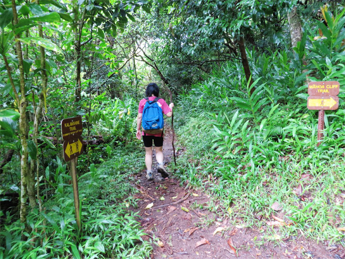
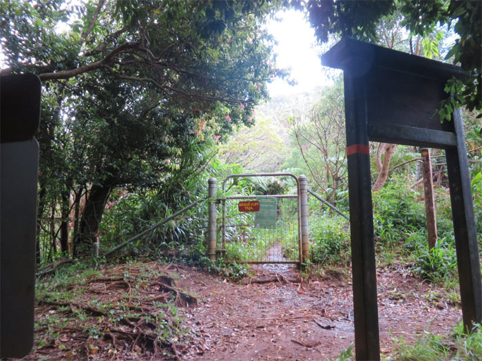
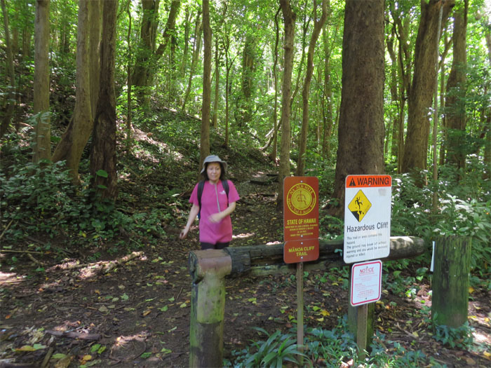
We walked down the road a short distance before finding the next trail, formerly called Manoa Cliff Trail.
No dogs. No check in.
At least the rain stopped.
No silver trails spotted.
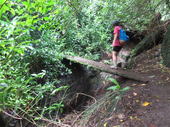
Hmmm, what is the load limit?
Watch out for the hiking trolls.
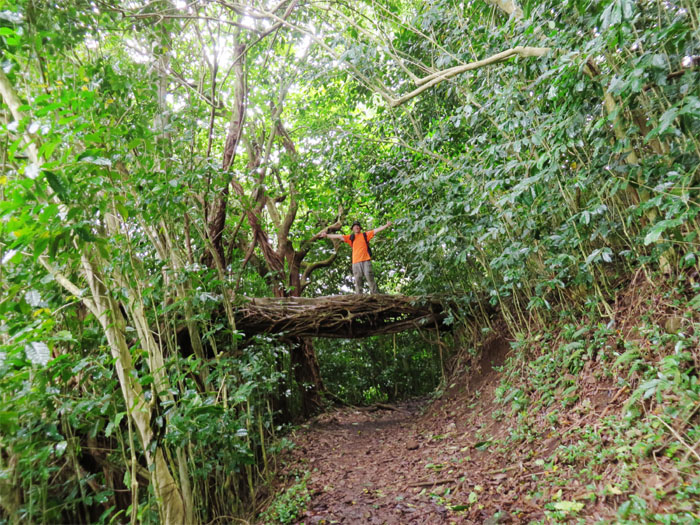
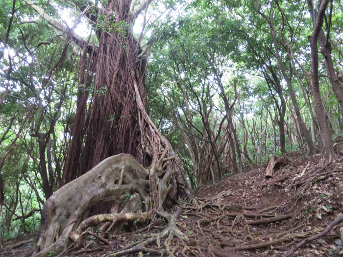
Just treeing around.
We continued straight on the trail past the junction that contours around Tantalus.
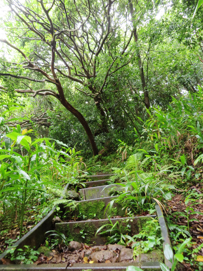
If you see stairs on a trail, safe bet is that it’s part of the Na Ala Hele trail system.
One foot in front of the other. Left. Left.
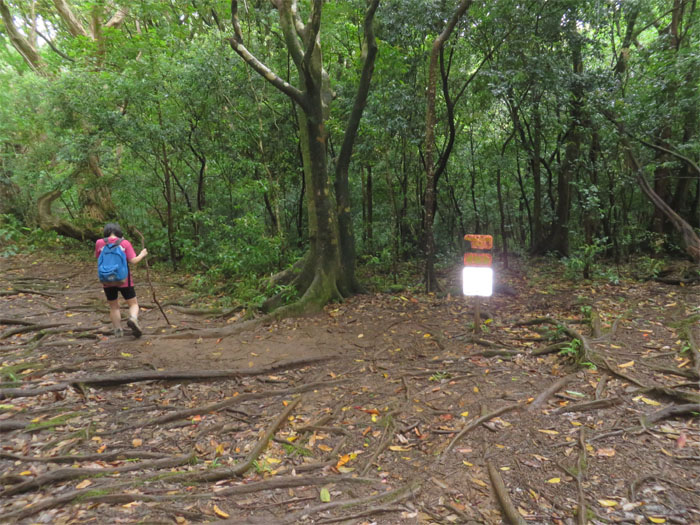
We turned left at the junction.
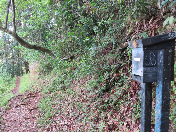
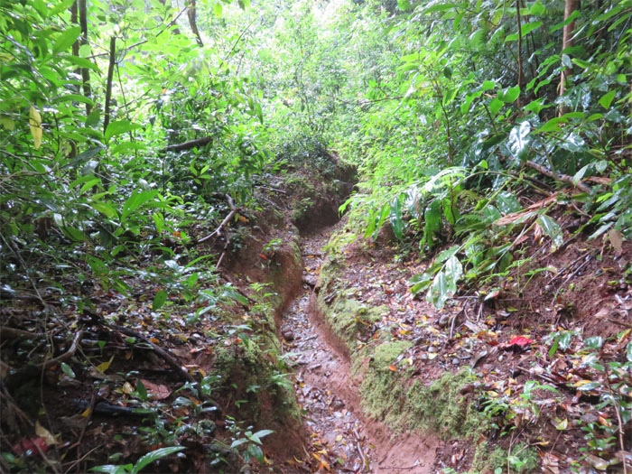
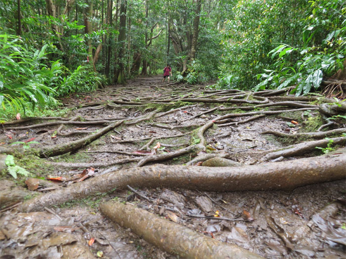
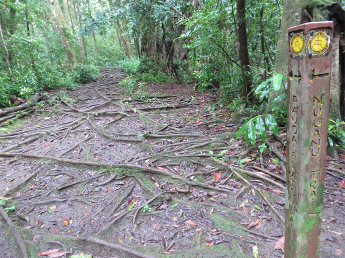
The trail became heavily rooted and muddy.
We passed the junction that comes up from Judd trail and continued straight.
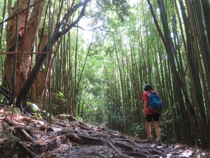
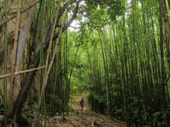
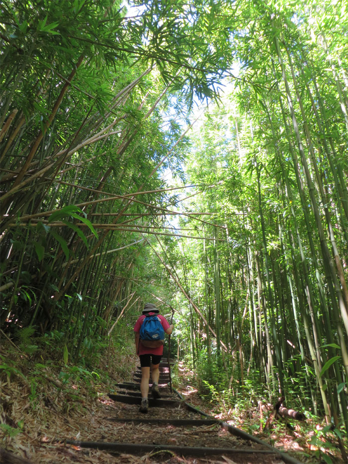
A bamboo grove marked another junction that goes down to Manoa Falls, where we continued straight on the flats trail.
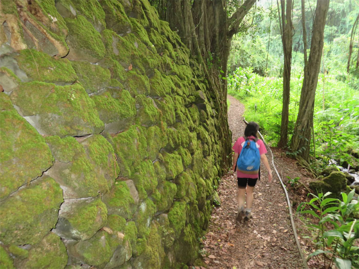
Feels like Kyoto. Well to some people.
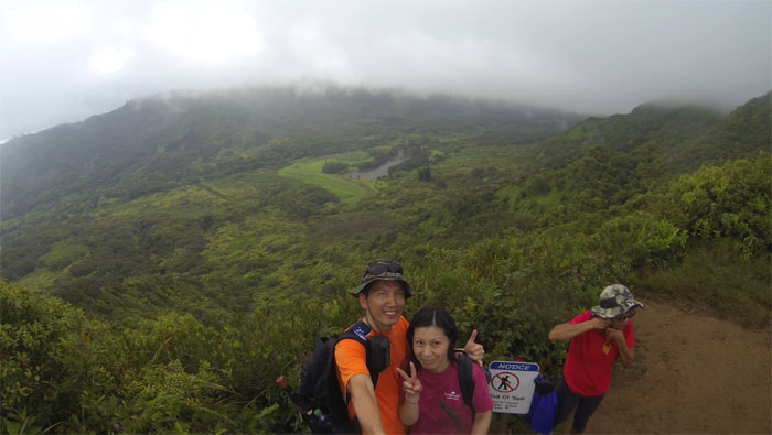
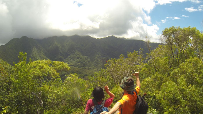
We met another group that were already at the 1,600′ summit. Clouds sprinkled with rain were our views for today. The trail to Konahuanui would have to wait another day.
Back on the muddy trail.
We went straight on the connector trail to make our way back.
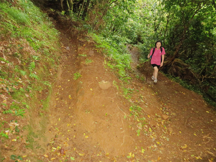
The trail took on a more pronounced pitch.
Bends in the trail made it easier to go up the steep climb.
A closed gate marked a native reforestation project. Keeping out feral pigs since 2009.
We passed the junction that goes up to Tantalus and continued straight on the cliff trail that soon left the gated area.
Korean hikers seemed to be out in force today on the trails. Annyeong haseyo!
Sitting on the Manoa Cliff Bamboo Rest Bench.
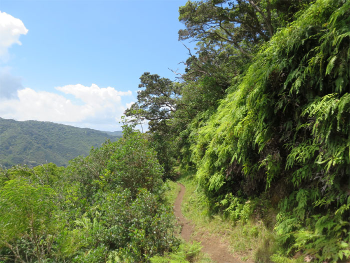
Lush ferns cascaded and covered the mountain side.
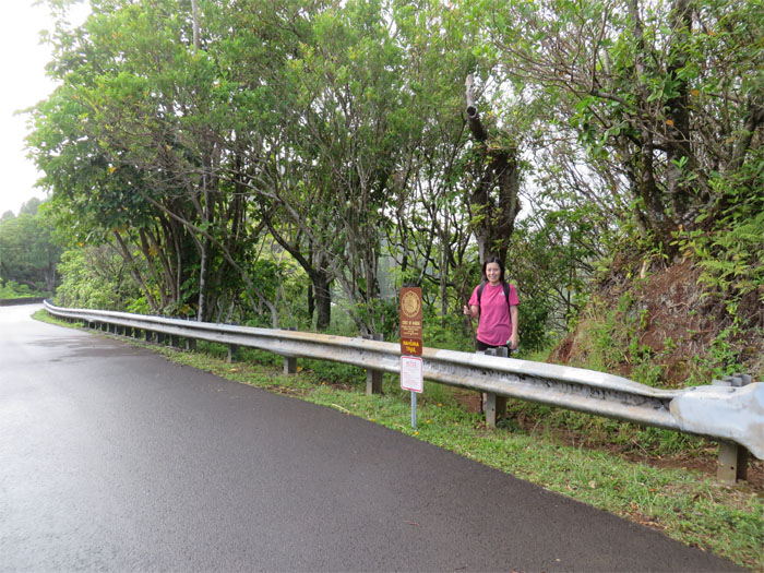
Mari coming down to the end of Manoa Cliff Trail. Watch for traffic.
Why did the hiker cross the road? To get to the other trail.
Back in Kyoto.
Climbing up the side of Pu’u Kakea.
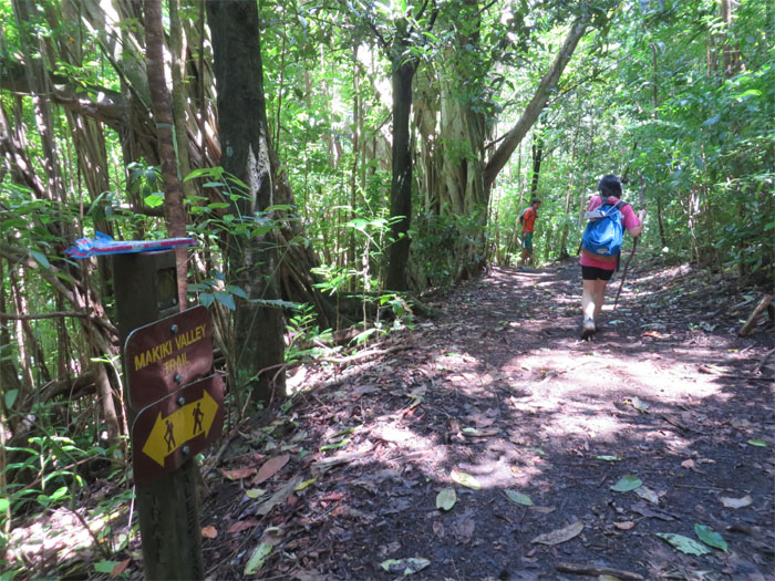
We reached the junction and turned right on the valley trail.
Hiking in one of the 17 forest reserves on the island.
We reached the last junction on our hike today.
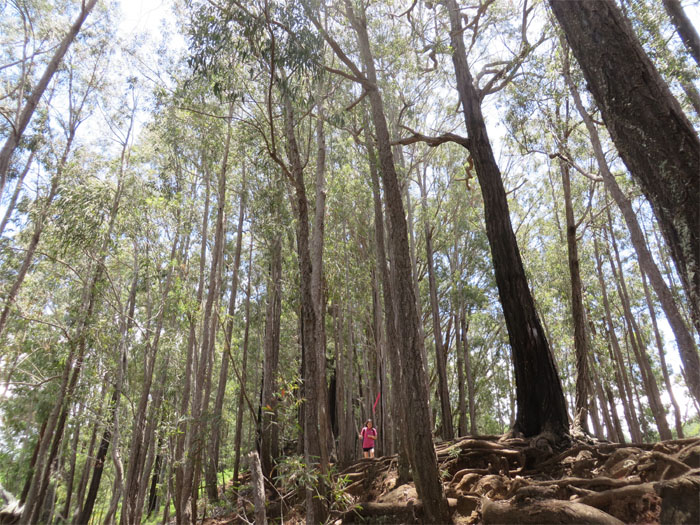
Mari making her way down the steep ridge that was filled with fragrant eucalyptus trees.
We made our way back down to the trailhead.
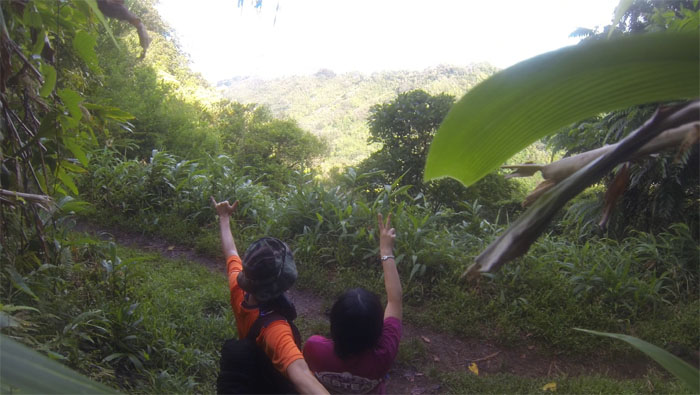
We are ready for Mount Fuji!
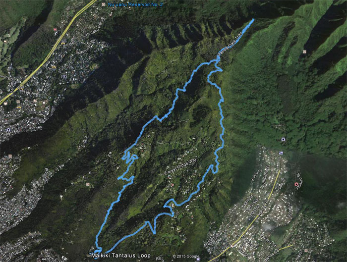
The forest loop involved eight trails that covered 8.25 miles. Post hike meal at Hokkaido Ramen Santouka. Cold and hot ramen with pork cheeks.




{ 0 comments… add one now }