I was in the mood for another grinder in the mountains. Met up with Art, Chris, and CJ in the Pacific Palisades neighborhood in the wee hours of the morning. Photo by Art Young.
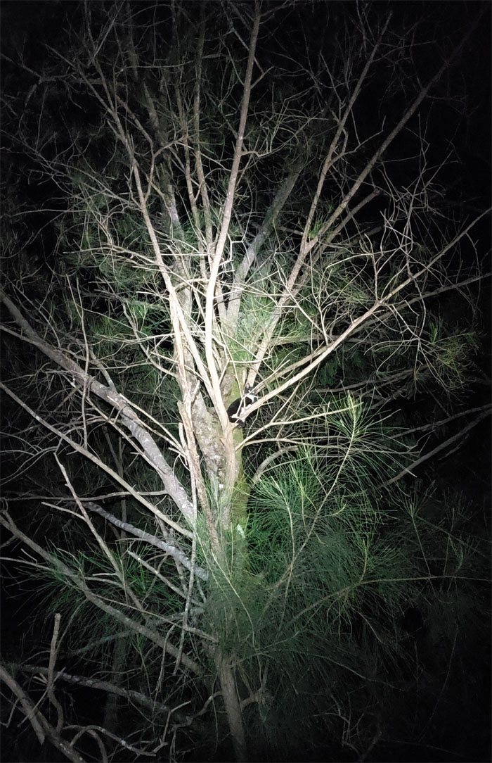
Look! Up in the tree! It’s a owl! It’s a rat! It’s just a cat. Call HFD.
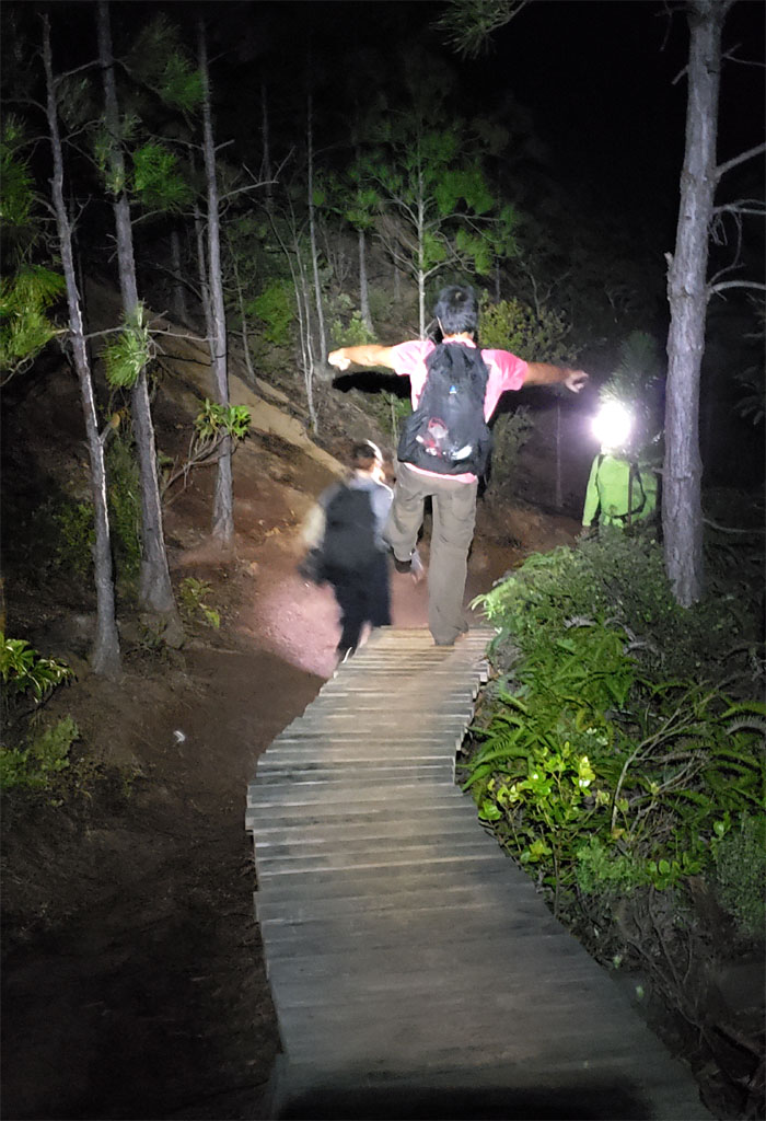
I think Chris wants a bike for Christmas.
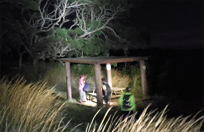
We took a quick break at the picnic shelter. No signs of campers today.
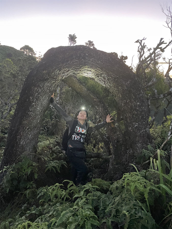
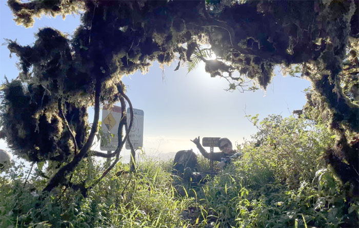
CJ in the twisted tree. Photo by Chris Bautista.
Passing through the gate. Halfway to the summit. We also saw what looked like workers on an adjacent ridge. Fellow early risers.
The KST looked strikingly clear from our flat vantage point. Photo by CJ Mendiola.
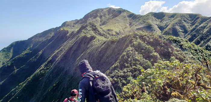
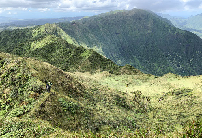
Chris striking a pose on one of the many humps we had to traverse. My friend calls this the b*tch trail for obvious cardio reasons.
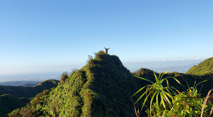
CJ at the 2,660′ knob. Photo by Chris Bautista.
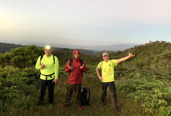
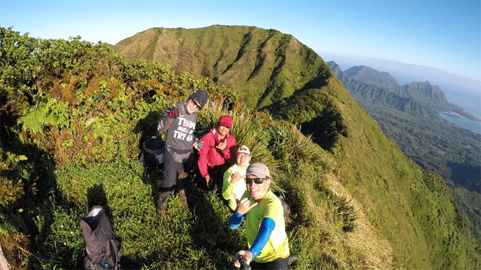
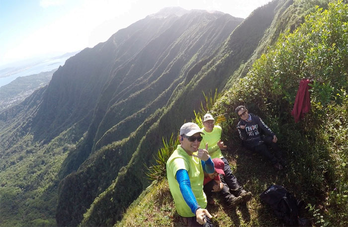
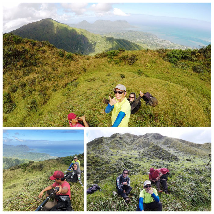
Group photo left to right: CJ, Chris, Art and myself. The views were amazingly available today.
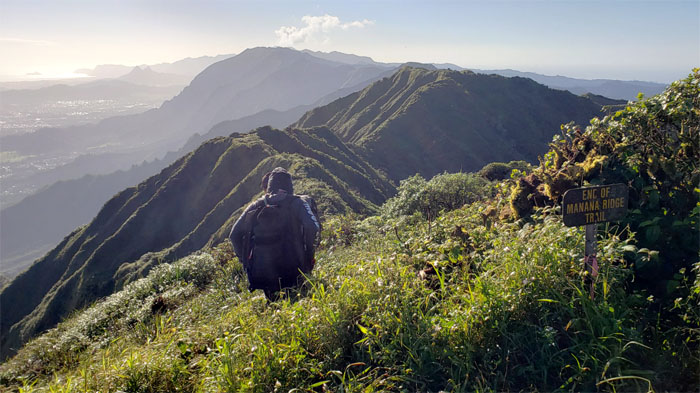
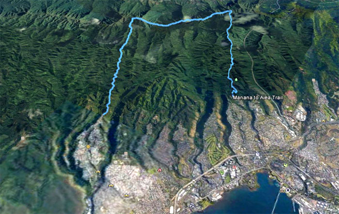
The end and beginning of the trails for our group.
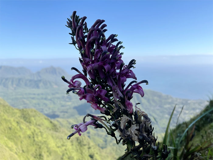
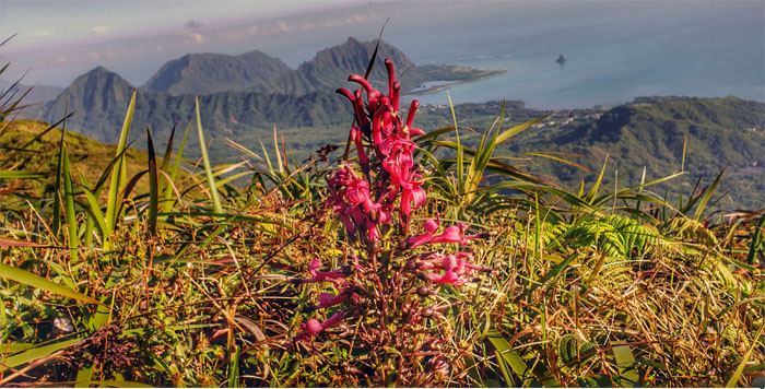
A flowering lobelia on the side of the scenic cliff.
Sighted another lobelia with different colorings.
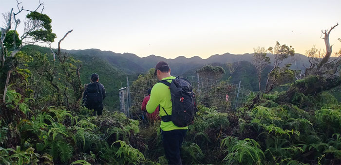
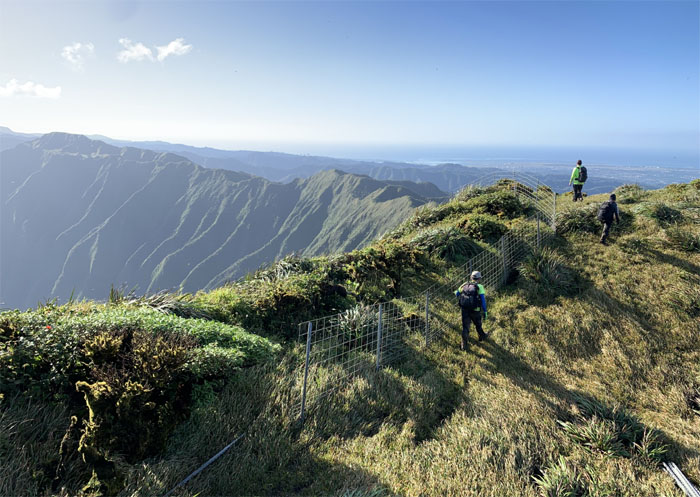
Passing the small grassy fields made smaller by the fencing. Photo by Chris Bautista.
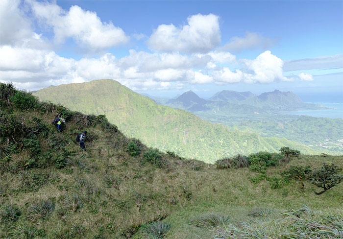
Leaving the fence line behind us as we went down the slippery slope to stay on trail.
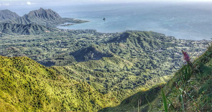
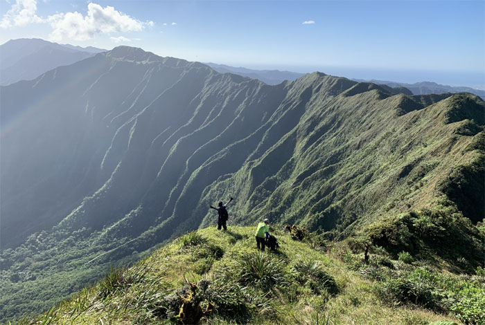
CJ soaking in the views. Photo by Chris Bautista.
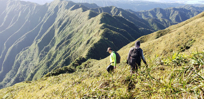
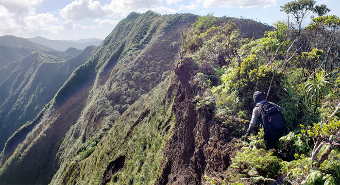
CJ crossing over the landslide section of the ridge line which soon marked our descent into the saddle.
Our last group photo together as Art decided to go down the seven mile graded trail after overworking his leg muscles coming up the muddy Manana Trail. Chris also collected his rubbish from his previous KST one shot hike and had to shed on of his pant legs.
Climbing out of the 2,160′ summit with sweeping views of Waihe’e Valley.
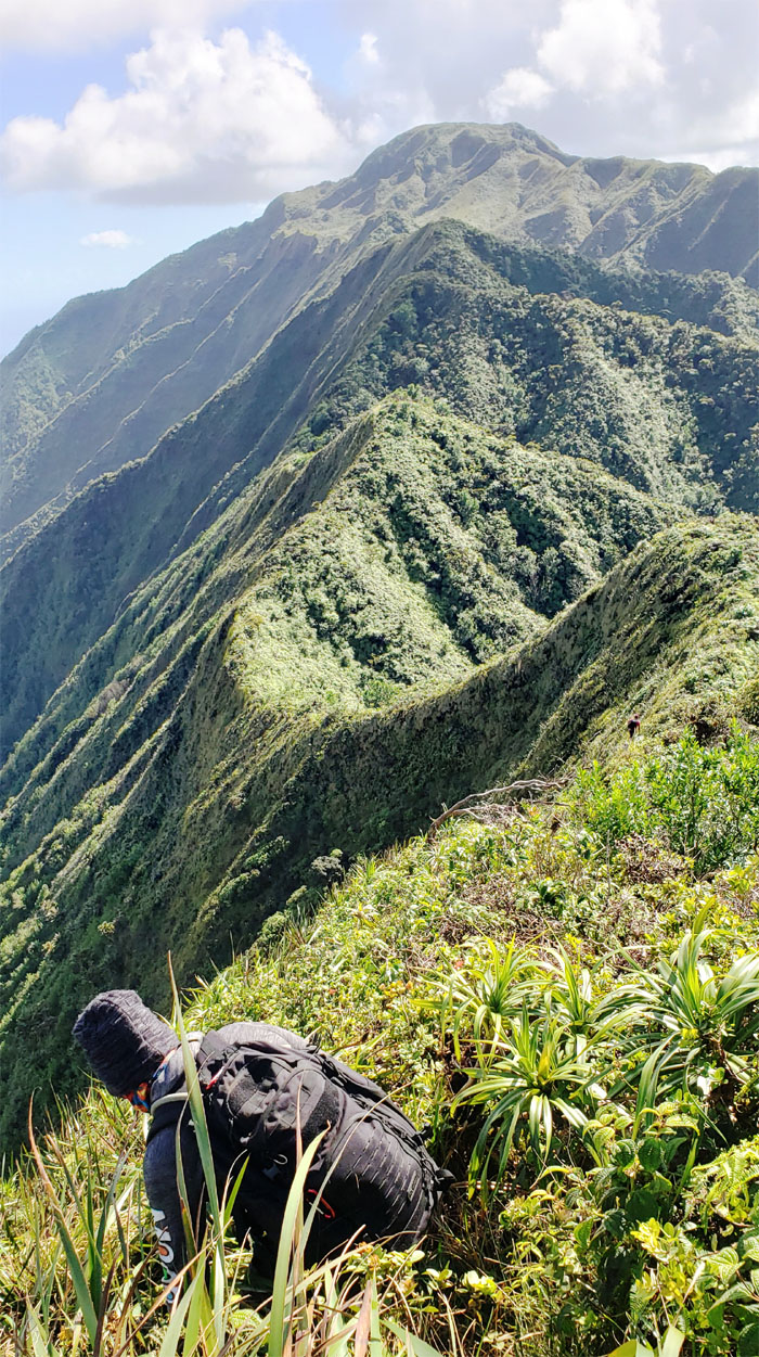
Back to our regularly scheduled program of up and down hills.
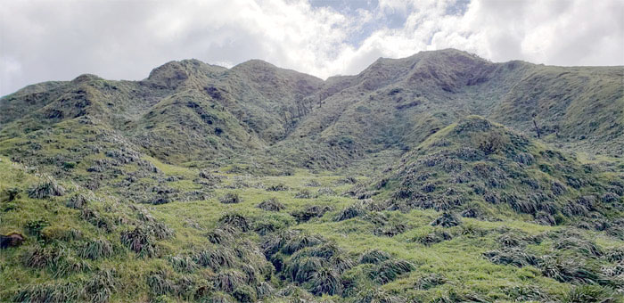
Approaching the largest meadows on the KST.
Dropping off the ridge line and into the meadows. Photo by Chris Bautista.
“Mythical” and “Magical” are the two most common adjectives used to describe this area.
We were struck by the fact that the meadows was eerily devoid of wind and clouds. No complaints here.
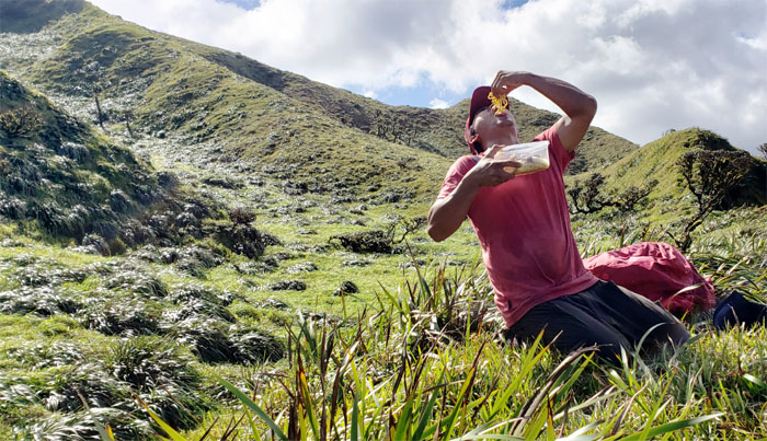
When you have no fork to eat your pancit, you fall back on what you got.
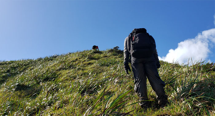
The slow and steady climb to the summit. Photo by Chris Bautista.
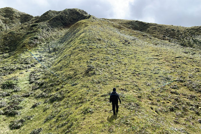
Always a lung buster going up the spongy ground. Photo by Chris Bautista.
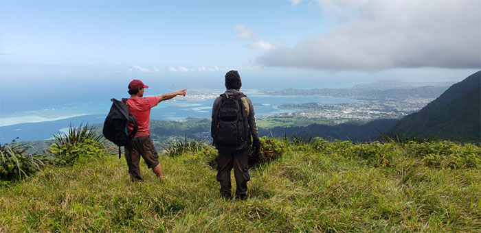
Chris pointing to our destination. Or he could have been stretching out his arm.
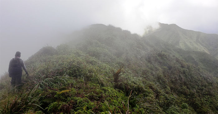
What Mother Nature gave, she took away. Clouds rolled in and out of the mountains as we resumed our ups and downs on the ridge line.
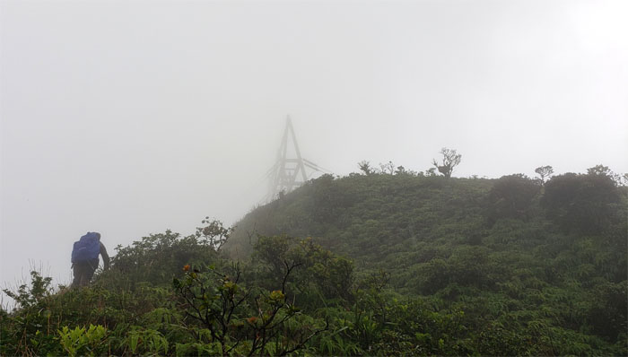
CJ climbing up towards the base of the power lines. Less than half an hour to the summit now. It can’t come any sooner.
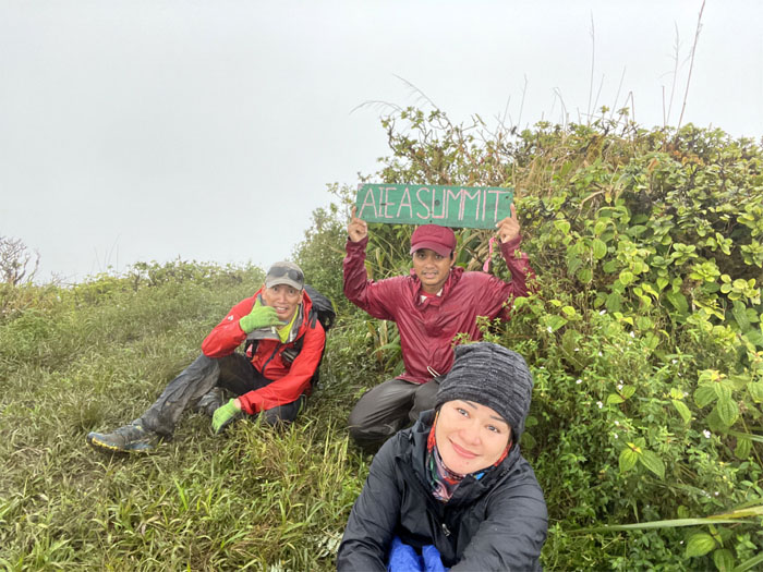
Group photo at the rainy 2,805′ summit. Photo by CJ Mendiola.
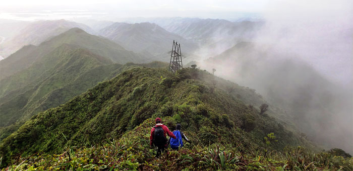
Heading down the muddy trail.
We reached the Keaiwa Heiau Park 5-10 minutes before closing. But the gates were already locked. Thanks to Quan for picking us up outside the park.
Our 14.2 mile hike covered rollercoaster ridges, scenic and sunny mountain and meadow views, cloudy and rainy ridges. The complete hiking package. Post hike meal at Alley Restaurant where Art met up with us. Oxtail soup was sold out. Need to hike faster so we can get here earlier before they sell out. Thanks to CJ for picking up the tab. Great hike with a fun crew.
Note: I have been made aware that some hikers have been using my blog as a hiking guide and getting lost on the trails. Please note that this blog was made to document the hike for the crew(s) that did it. That is why some of my comments will seem to have no relevance or meaning to anybody outside of the crew(s) that hiked that trail. My blog was never meant as a hiking guide, so please do not treat it as such. If you find inspiration and entertainment from these hikes, that is more than enough. If you plan on replicating these hikes, do so in the knowledge that you should do your own research accordingly as trail conditions, access, legalities and so forth are constantly in flux. What was current today is most likely yesterdays news. Please be prepared to accept any risks and responsibilities on your own as you should know your own limitations, experience and abilities before you even set foot on a trail, as even the “simplest” or “easiest” of trails can present potential pitfalls for even the most “experienced” hikers.

{ 2 comments… read them below or add one }
Do you know what species of Lobelia is in these photgraphs?
Sorry, I don’t know the specific species.
Mahalo