
Akira, Ferlino and myself flew over to the Big Island to meet up with Roger and let gravity do all the work this time.
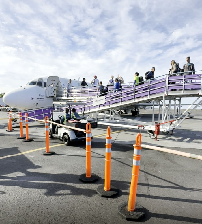
Ellison Onizuka Kona International Airport
We flew into the open air airport that has no jetways and were picked up by Roger, our gracious host from the last trip here.
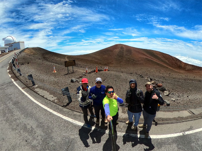
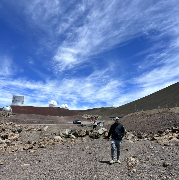
Mauna Kea
After meeting up with Matt and acclimatizing for about an hour, we drove to the top of the white mountain. Temperature registered in the low 50s which made it quite comfortable and a marked departure from our last visit when it was dipping into the 30s and 40s. A religious ceremony was underway at the true summit, so we just admired it from afar.
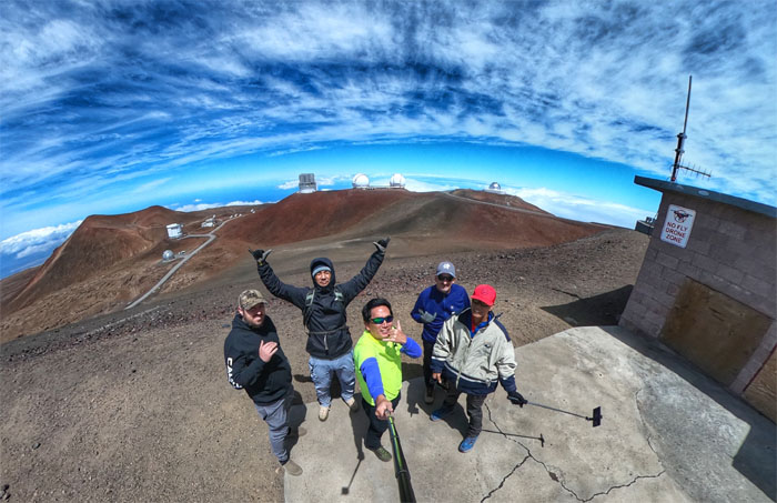
Mauna Kea
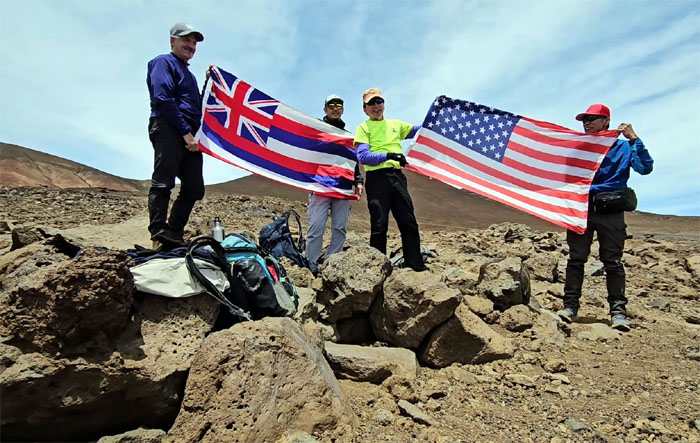
Group photo with the background of some of the 13 summit observatories which are funded and staffed by 11 different countries.
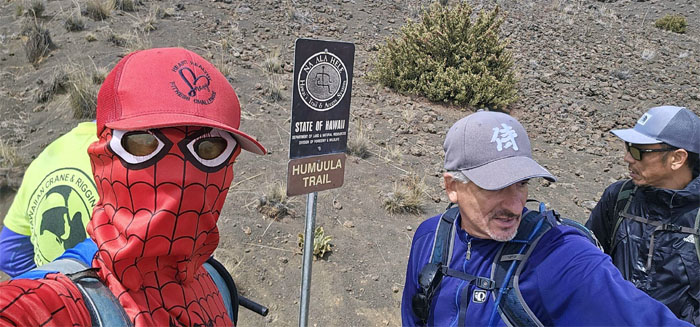
Humu’ula Trail
Matt decided to partially join us as we went down the Mauna Kea Trail.
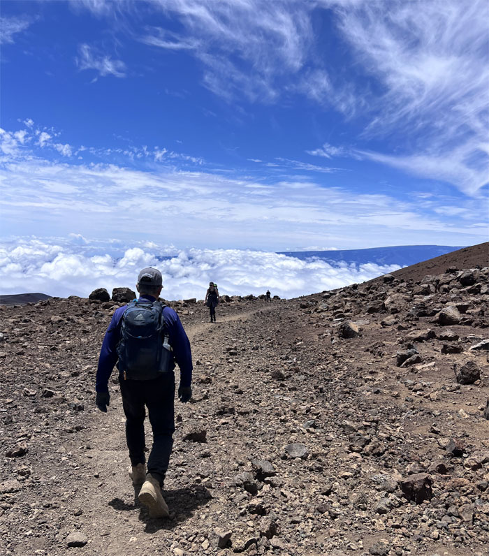
Humu’ula Trail
We soon crossed paths with other hikers that were coming up from the visitor center.
Lake Waiau
Group photo at the highest lake in the Pacific Basin at an elevation of 13,020′.
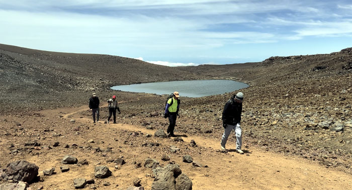
Lake Waiau
Leaving the only lake on the island and Matt also returned to his electric truck. Many thanks again to Matt for the quiet ride to the top.
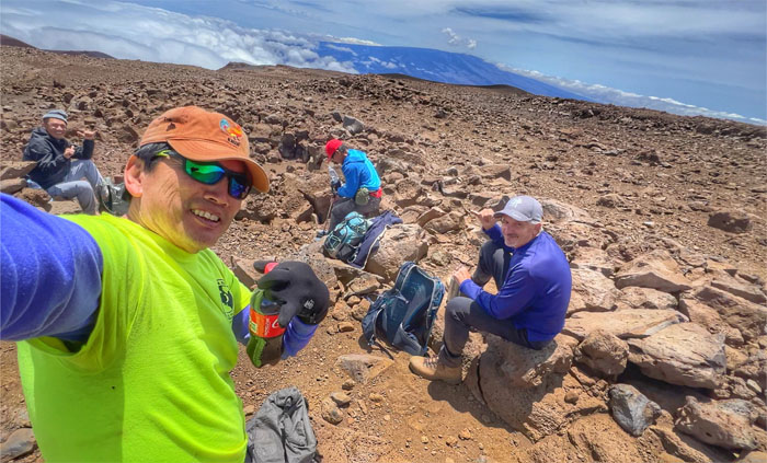
Humu’ula Trail
Practicing my rudimentary Japanese strictly for entertainment purposes and finding out that higher elevation has no direct bearing on soda carbonation. Shaken not stirred.
Humu’ula Trail
When Ferlino is on the trail, it’s always Flag Day.
Humu’ula Trail
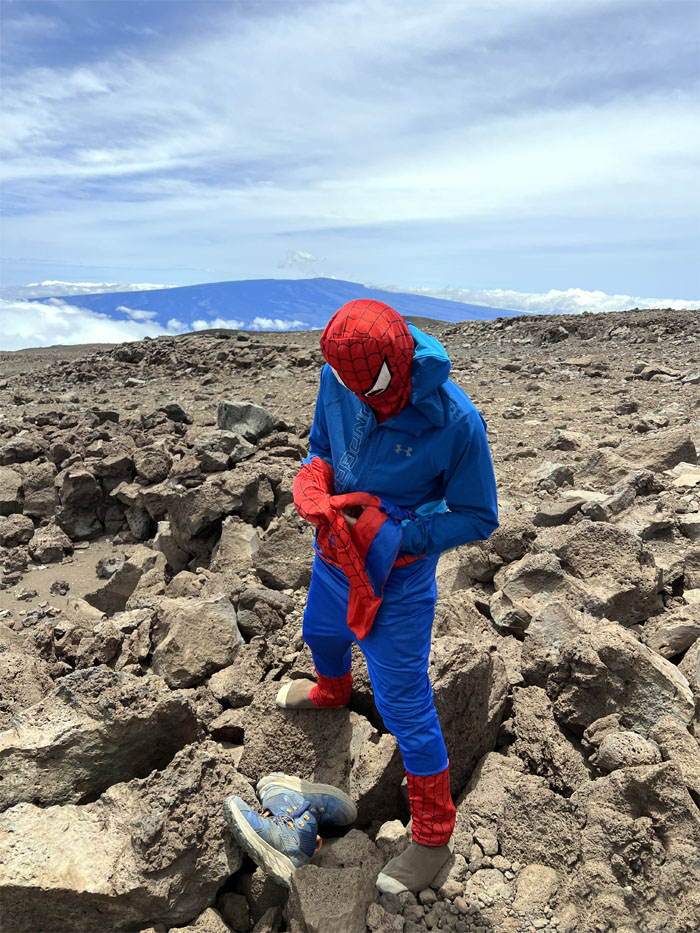
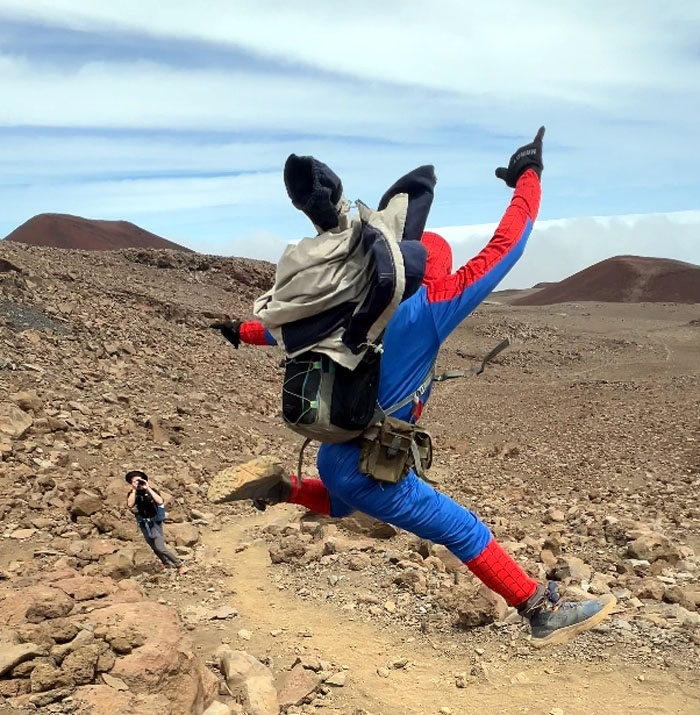
A superhero with radioactive spider infused powers is not immune to high altitude sickness as evidenced by the individual in question getting confused as to why his costume was inside out.
Humu’ula Trail
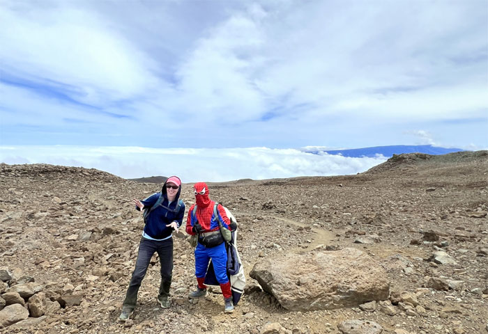
How often can you take a picture with Spider-Man on the world’s tallest mountain? I thought he was taller?
Humu’ula Trail
This couple didn’t look too impressed. I guess when you’ve seen one Spider-Man, you’ve seem ‘em all.
Humu’ula Trail
Did you get my picture? Send it to me!
Humu’ula Trail
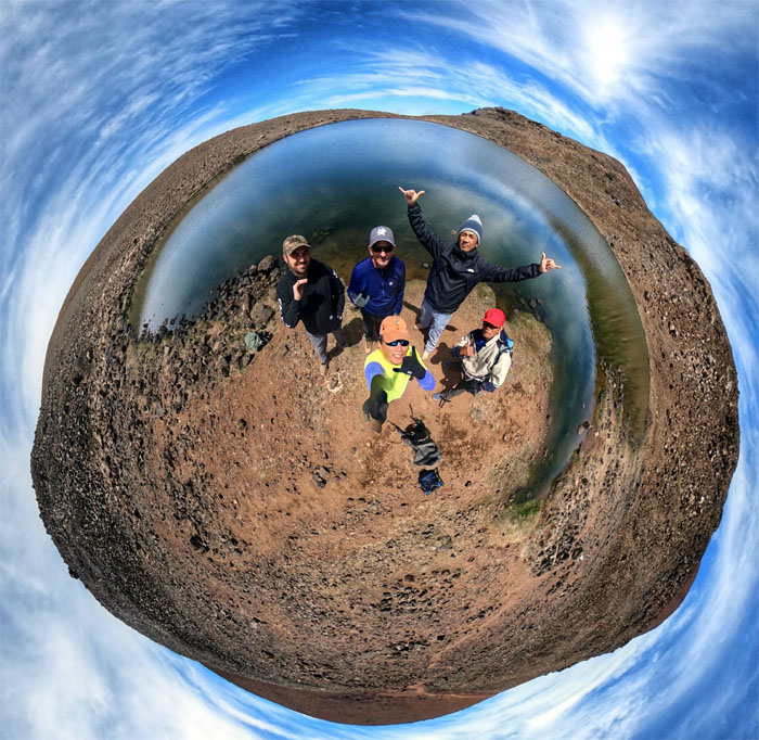
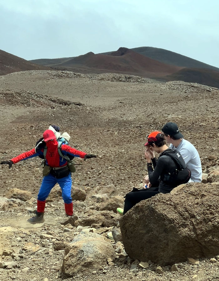
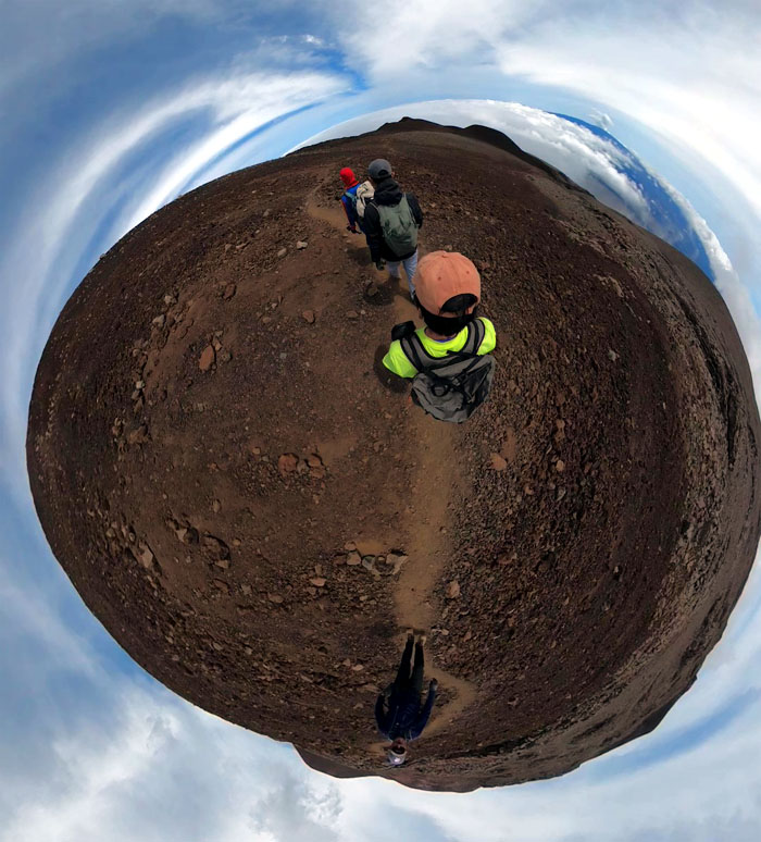
360 degree view of us going down the volcanic landscape with the massive Mauna Loa in the background.
Humu’ula Trail
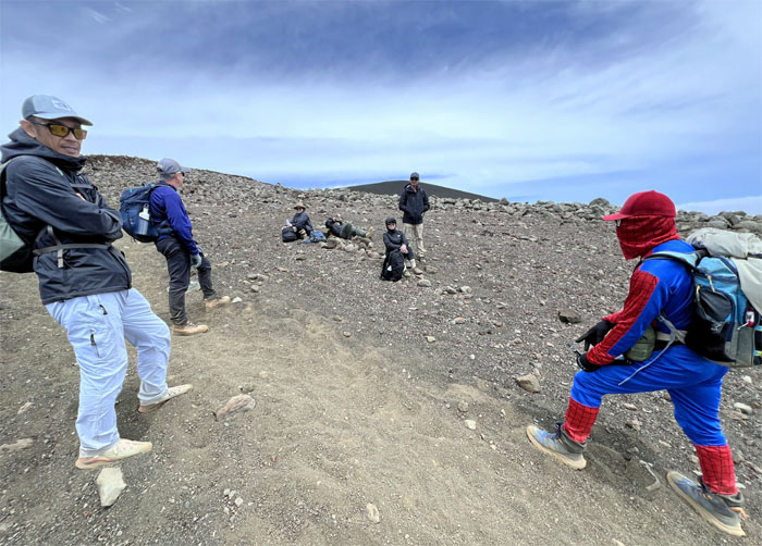
We came across this one group that recognized their limitations and decided to turn around. They chose wisely.
Humu’ula Trail
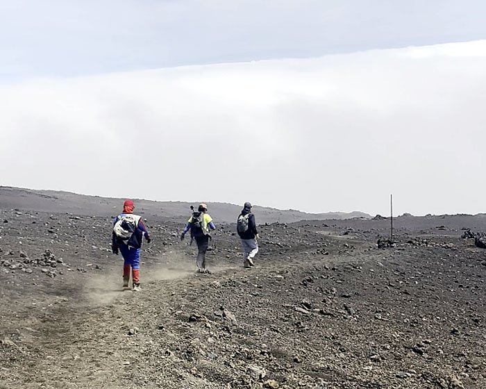
Kicking up clouds of lava dust as we went down the trail.
Humu’ula Trail
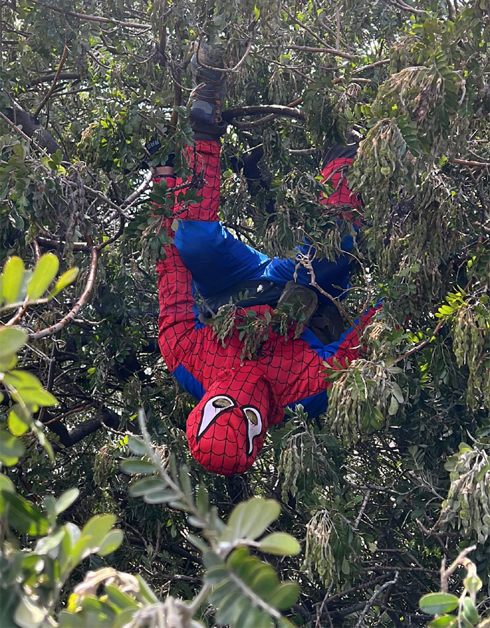
Spider-Man in his native habitat.
Humu’ula Trail
Getting close to the road.
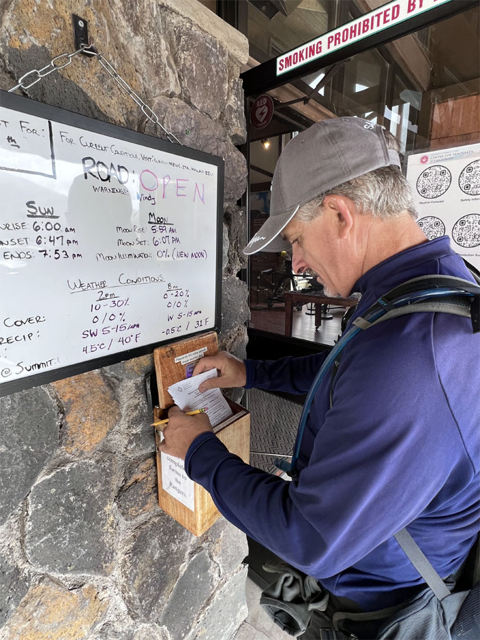
Onizuka Center for International Astronomy Visitor Information Station
Roger dropping off our signed hiking paper to let the Rangers know that we were back safe and sound at 9,200′ elevation.
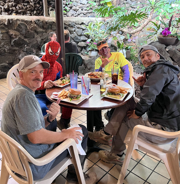
Quinn’s Almost By The Sea
No waiting this time around, we just walked right in. I guess it helps to have a superhero eating with you.
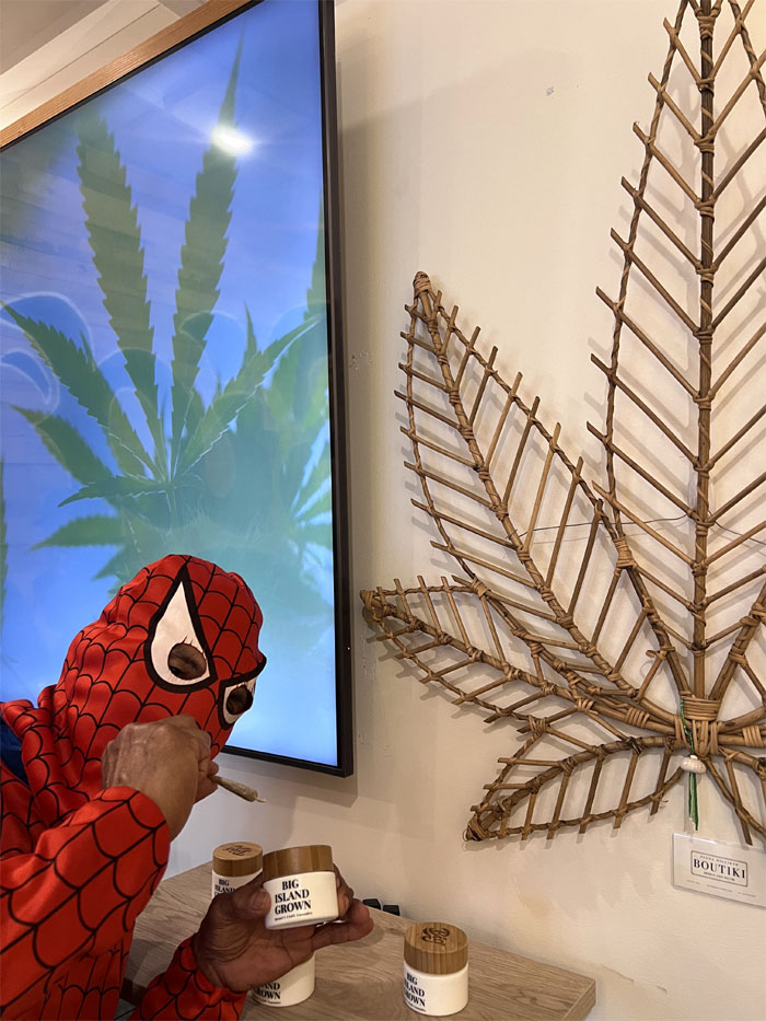
Big Island Grown
Somebody wanted to sample what was once the island’s biggest cash crop before we left the Big Island. It wasn’t the super hero pictured here.
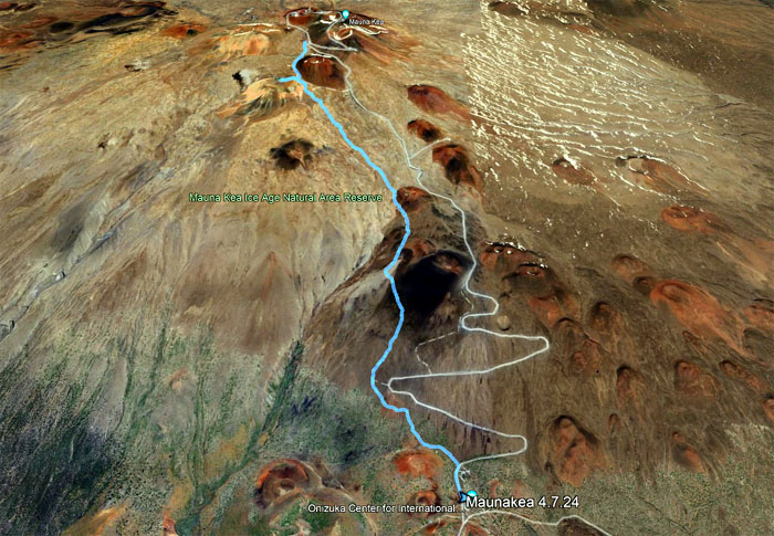
GPS Tracks
Our dusty descent from the tallest mountain in the world covered 5.51 miles with great company. Thanks again to Matt and Roger for the rides.
Photos taken by Akira Suzuki, Ferlino Carinio, Roger Schiffman, and yours truly. Not necessarily in order.
Note: I have been made aware that some hikers have been using my blog as a hiking guide and getting lost on the trails. Please note that this blog was made to document the hike for the crew(s) that did it. That is why some of my comments will seem to have no relevance or meaning to anybody outside of the crew(s) that hiked that trail. My blog was never meant as a hiking guide, so please do not treat it as such. If you find inspiration and entertainment from these hikes, that is more than enough. If you plan on replicating these hikes, do so in the knowledge that you should do your own research accordingly as trail conditions, access, legalities and so forth are constantly in flux. What was current today is most likely yesterdays news. Please be prepared to accept any risks and responsibilities on your own as you should know your own limitations, experience and abilities before you even set foot on a trail, as even the “simplest” or “easiest” of trails can present potential pitfalls for even the most “experienced” hikers. One should also always let somebody know of your hiking plans in case something doesn’t go as planned, better safe than sorry.
{ 0 comments… add one now }