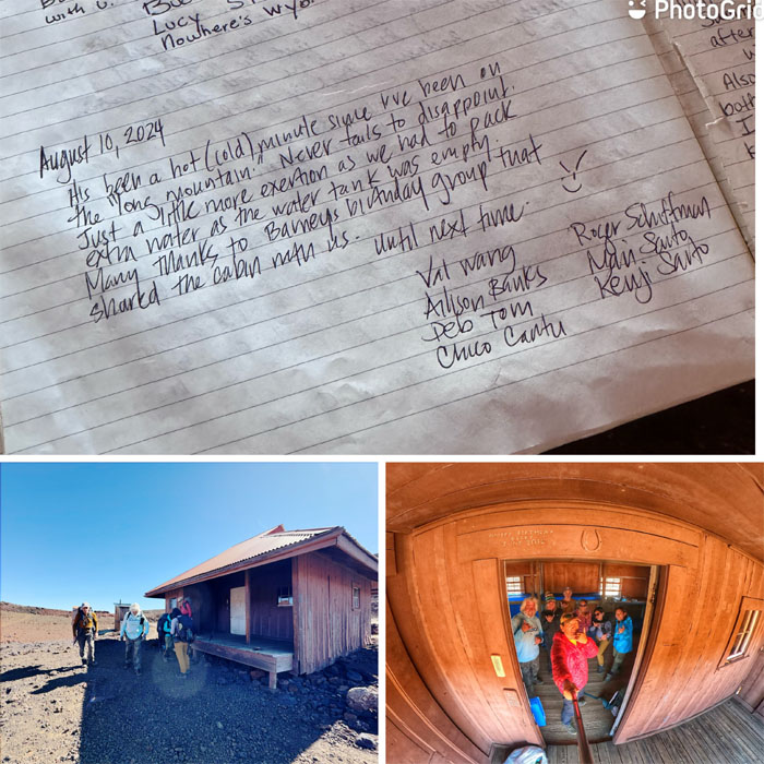
Allison, Chico, Deborah, Mari, Val and myself flew over to the Big Island to meet Roger to train on the volcanic landscape for our upcoming out of country trek. No visit to the Big Island wouldn’t be complete without visiting Ken’s House of Pancakes, KTA and Mt View Bakery. Checked. Roger had found out from the Park Rangers when he went to pick up our backcountry permit that some unknown individual had left the spigot open on the cabins water tank which drained out all the water. That translated to carrying more water in our packs for our weekend hike. Leave the filter behind.
We drove up the 12 mile road passing bikers, hikers and old lava flows to reach the 6,662′ lookout that was the gateway to the start of our rugged hike.
Somebody was already visualizing the post-hike experience.
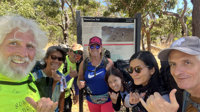
The group starting the hike on the trail that was built by the Buffalo Soldiers back in 1915, which took them 39 days using just 12 pound hammers and gunny sacks.
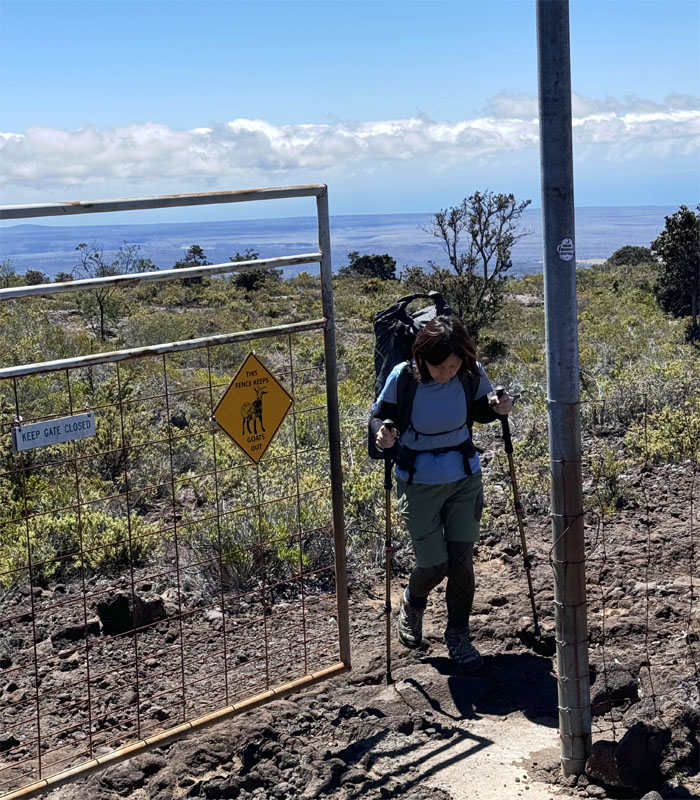
Keeping out the invasive species. Just the four legged ones.
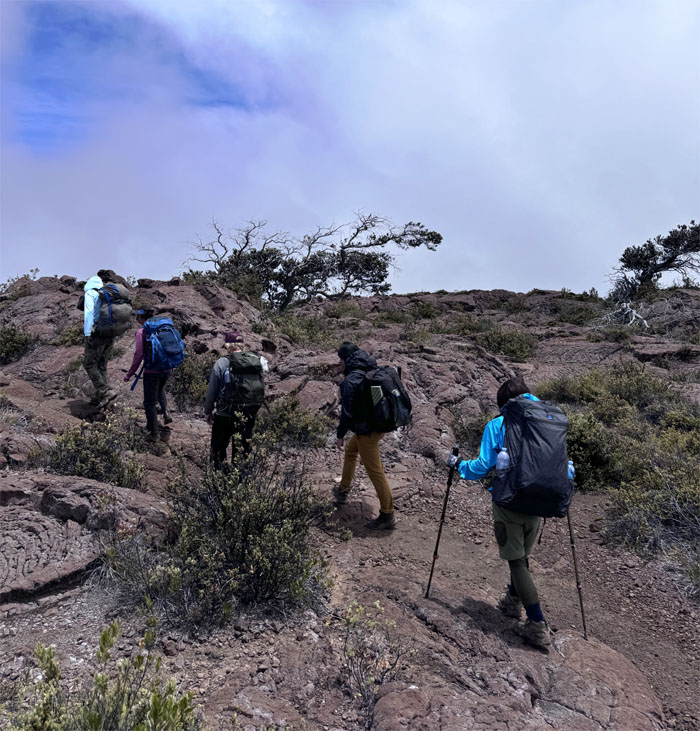
Climbing through the mixed native forest as we made our way up the trail.
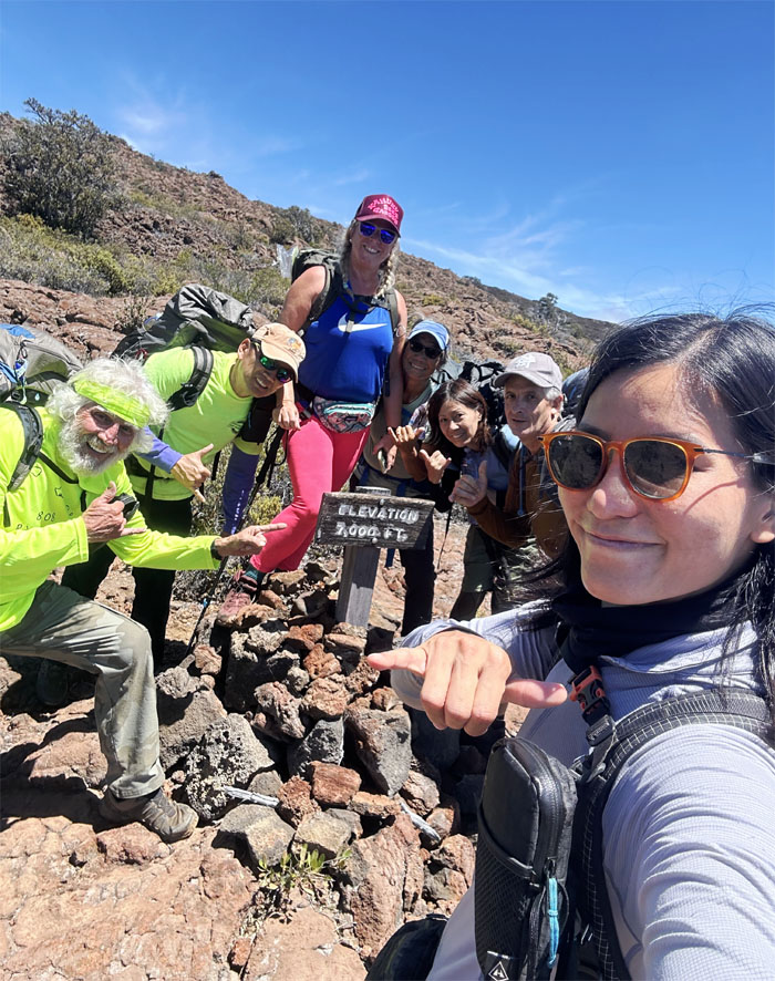
The group at the first “milestone” elevation market at 7,000′. Only 3,000′ left to go!
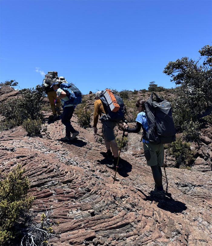
Passing through the cooled smooth, unbroken lava flows or pahoehoe in Hawaiian.
The miles just seemed to be melting away as we soon gained another 1,000′ of elevation in a little over an hours time.
Between Roger’s pointed guidance and the stacked rock cairns (ahus), we managed to navigate our way through the lava fields.
The group passing the last “living” tree at roughly 8,112′ elevation mark.
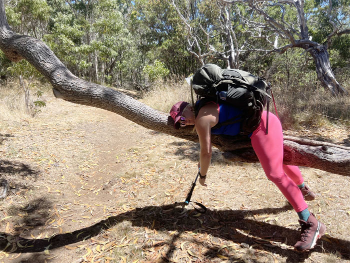
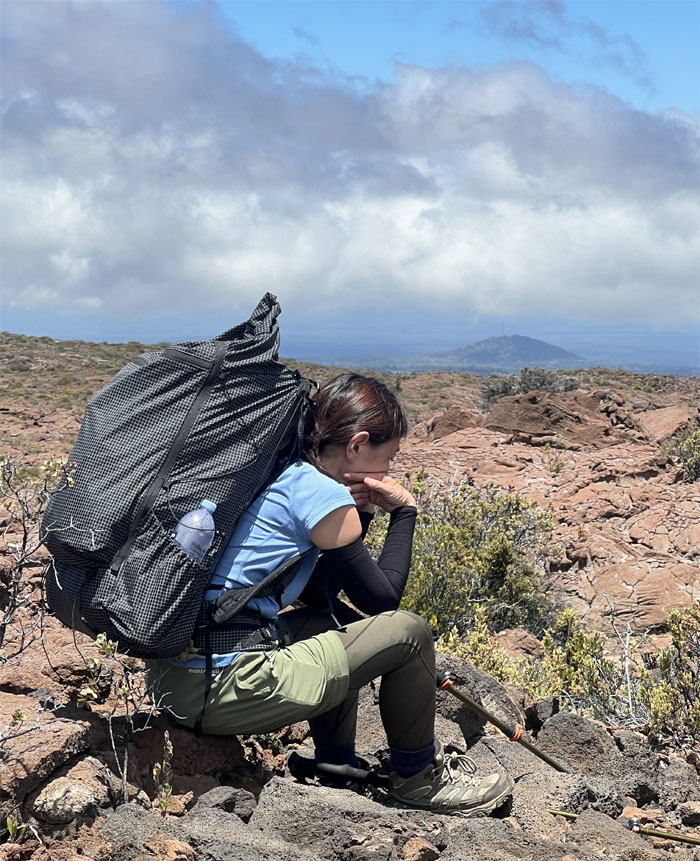
“A lava rock for your thoughts?” “Oh, I’m just thinking how uncomfortable this pack is on my back.”
Taking a break at a little over 8,600′ elevation. Everything moves slower at higher altitude, including rest breaks.
Contouring around a massive, partially collapsed lava tube.
We arrived at the 9,000′ elevation marker or 2,743 meters to the rest of the world. The metric system was adopted by France in 1795 and the rest of the world soon followed suit, with the exception of the USA, which is still lagging behind even though Congress legalized it in 1866.
The group crossing over pahoehoe and stony, rough lava or a’a in Hawaiian. We preferred to walk on the smooth lava when possible. Less wear and tear on the shoes.
Chico seeking sheltered shade from the sweltering sun.
Passing through the second fence line meant to keep out the invasive ungulates. It must be working, as we didn’t see any. Then again, this is a big mountain.
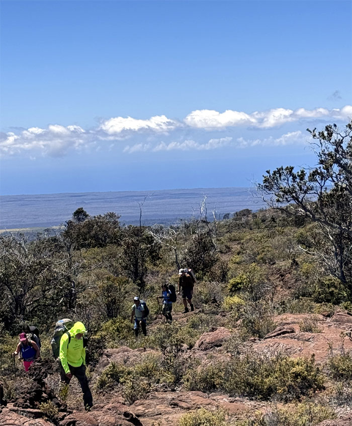
Traversing over the vast volcanic landscape that is Mauna Loa, a volcano that is so dense and massive, that it actually depresses the earths crust below her. That’s some weight.
Following the trail up as it wrapped around the cinder cone as we passed the stone sentinel.
A study in contrast as the cinder cone was a splash of rustic red due to oxidation and higher temperatures amidst a sea of basaltic and olivine landscape.
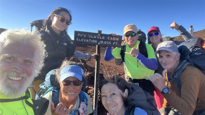
It took us a little under seven hours to reach our home for the night at 10,035′ elevation.
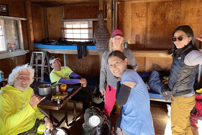
Now it was time to check in the cabin and see how much space was available as we were told that another group had hiked up the day earlier.
The cabin has eight bunks. We were a group of seven and the other group numbered six individuals. 7+6=13. Ordinarily that would mean that five of us would be sleeping on the floor, which is what I was expecting. Surprisingly, the group graciously said they preferred to sleep outside and watch the starry night. Who are we to argue? We also found out that one of the individuals in the group was celebrating his birthday as well. Happy Birthday Barney!
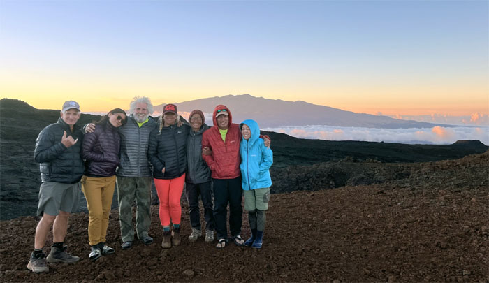
Group photo of us with Mauna Kea and her glistening observatories perched on the tallest mountain in the world from its underwater base, in the cloud soaked background.
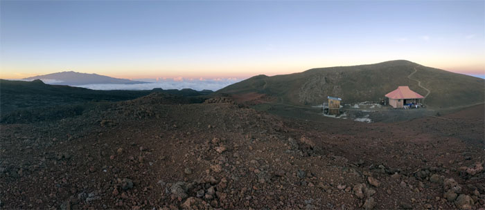
Looking down into the pit of Red Hill where the cabin, empty water tank and compost toilet are nestled against the stunning background of the white mountain.
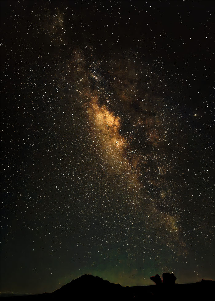
Meanwhile, across the Humu’ula Saddle, Aida was snapping pictures of the Milky Way while we were nestled in our sleeping bags of varying warmth as the temperature plunged into the high 30s. Fahrenheit.
Day 2
Some of us woke up before the crack of dawn to brave the near freezing temperatures to trudge up the hill to capture and be captivated …
… by the sunrise breaking through the cloud layers.
Group photo with our cabin mates left to right: Chico, Deborah, Evelyn, Mari, Barney, Val, myself, Roger, Allison, Lauren, Karen, Jill and Julie.
The trail to the summit was closed due to the recent eruptions back in 2022. So with the advice and encouragement of our cabin mates, we decided to explore the nearby lava fields. Allison opted to stay back and read a book while we went out exploring.
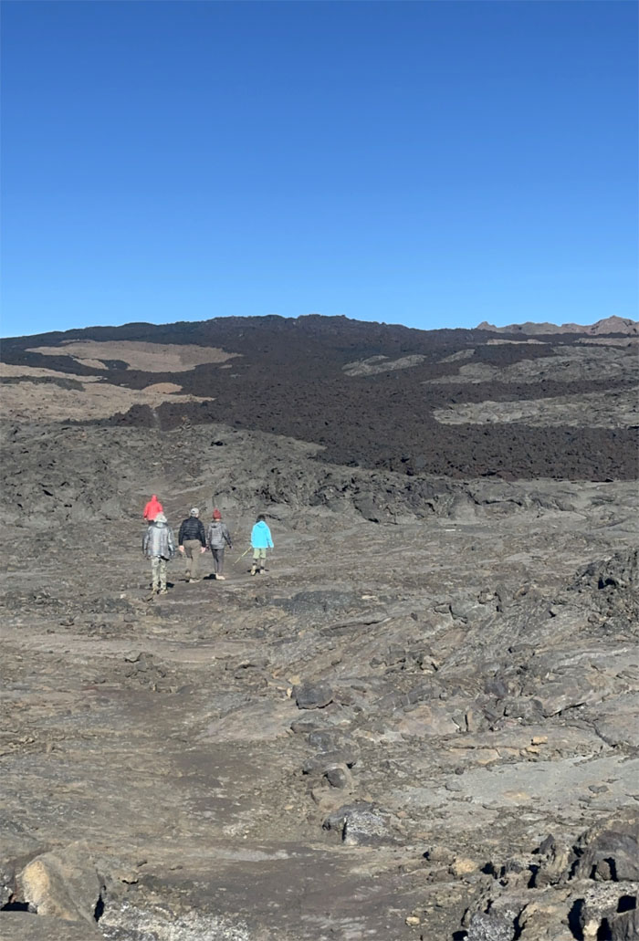
“Roughing” it on the a’a lava trail.
The sky was blazingly blue above us as we crunched our way on the a’a lava below us.
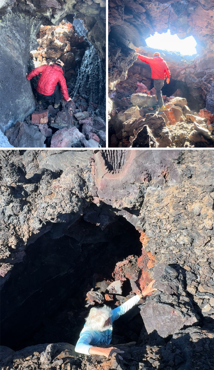
Time to head off the beaten trail and explore some lava tubes that showed promising interest. Lava tubes are natural passageways formed from lava flows of old and all the islands are riddled with these conduits that lurk beneath the surface. Some more obvious than others.
Insta360 view of the lava tube opening.
Morning mountain silhouettes.
The girls crossing a lava tube opening.
This particular lava tube was crumbling and raining rocks on one end which forced Chico to wisely retreat back to where he had entered.
Our group photo above one of the lave tubes before we headed back to the cabin.
We cleaned up and left the cabin as good as we found it or better, and Roger was gracious enough to carry the groups rubbish down with him.
Time to head back down to civilization.
Going down is always easier than coming up.
One can never have too much sunscreen? Different sources state that for every 1,000′ gain of elevation above sea level, ultraviolet radiation levels increase by 2% to 10%. This photo was taken at approximately 9,260′, which translates to 18% to 90% more UV that we were exposed to due to the thinner mountain air. More sunscreen?
Tea time in the mountains for Barney’s Birthday Group. What do you expect from a crew consisting of Americans, Australians and New Zealanders?
Signs of life greeted us as we descended down the long mountain.
Just 338′ of elevation left to lose on the trail.
We arrived back at the lookout to our cars where we politely declined offers from Barney’s Birthday Group to free showers at their house. Do we smell that bad? Met up with Aida at The Seaside Restaurant for our last meal in Hilo before catching our flight back home. Fun little fact. Mushrooms are technically fungi but are counted as vegetables by the USDA. Chico and the waiter both had opposing views on that subject. Our in and out backpacking hike covered 15.19 miles on Earth’s largest active volcano with an awesome group.
Photos taken by Allison Banks, Chico Cantu, Deborah Tom, Mari Saito, Roger Schiffman, Val Wang and yours truly. Not necessarily in order.
Note: I have been made aware that some hikers have been using my blog as a hiking guide and getting lost on the trails. Please note that this blog was made to document the hike for the crew(s) that did it. That is why some of my comments will seem to have no relevance or meaning to anybody outside of the crew(s) that hiked that trail. My blog was never meant as a hiking guide, so please do not treat it as such. If you find inspiration and entertainment from these hikes, that is more than enough. If you plan on replicating these hikes, do so in the knowledge that you should do your own research accordingly as trail conditions, access, legalities and so forth are constantly in flux. What was current today is most likely yesterdays news. Please be prepared to accept any risks and responsibilities on your own as you should know your own limitations, experience and abilities before you even set foot on a trail, as even the “simplest” or “easiest” of trails can present potential pitfalls for even the most “experienced” hikers. One should also always let somebody know of your hiking plans in case something doesn’t go as planned, better safe than sorry.
















{ 2 comments… read them below or add one }
I love this hike! Let’s go back when there’s water in the tank! Lol
Aloha M,
Haha. Okay, next time we go via the Ainapo Trail so we can see the actual summit.
Mahalo